
INTRODUCTION: After the demands of the transcontinental railroad for railroad ties was satisfied by the tie hackers producing millions of ties and sending them down the Uinta’s North Slope rivers into Wyoming from 1867-69, the need for some ties, plus other wood products continued. From 1873 to 1880 the Hilliard Flume and Lumber Co. became a major provider of railroad ties, mine props, cord wood, etc. to the railroad, and others users. In Hilliard, Wyoming a series of kilns were constructed, as also in Piedmont a bit further to the east, where cord wood was turned into charcoal for the railroad, and iron smelters in Utah and elsewhere. The Company hatched what was hoped would be a more efficient transportation method. A 36 mile long wood flume as you see below was constructed to Hilliard from the Gold Hill area of the Uintas west of the present Mirror Lake Scenic Byway.
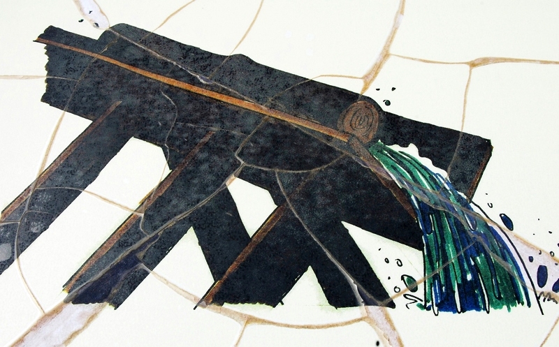
The flume was V shaped about 36″ x 36″ built with heavy 3″x12″ planks. As it went down the mountain maintaining a consistent downward angle that kept the water flowing at 15 miles per hour, it at times went through cuts dug through the rocky terrain, and at times was held up by a trestle one report says as high as 16 feet, and at its end in Hilliard was 30 feet high with the train passing underneath it with passengers incredulous describing it as an “engineering marvel.” as you see below.

80 tons of square iron spikes were used in the construction that in the beginning was known as “Sloan’s Folly,” but the engineering feat was successful for 7 years and perhaps more. The water would move the wood products along about 15 miles per hour, making it to Hilliard in about 2 hours.
For background information you can go to my other reports, such as:
The High Uinta’s TIE HACK HEROES
Trip #2-2009 Hot On the Trail of the Tie Hacks
Trip #3a REPORT–Search for the Howe Feeder Flume and BEARTOWN
Trip #4–NEVER GIVE UP–FIND THE HOWE FEEDER FLUME!


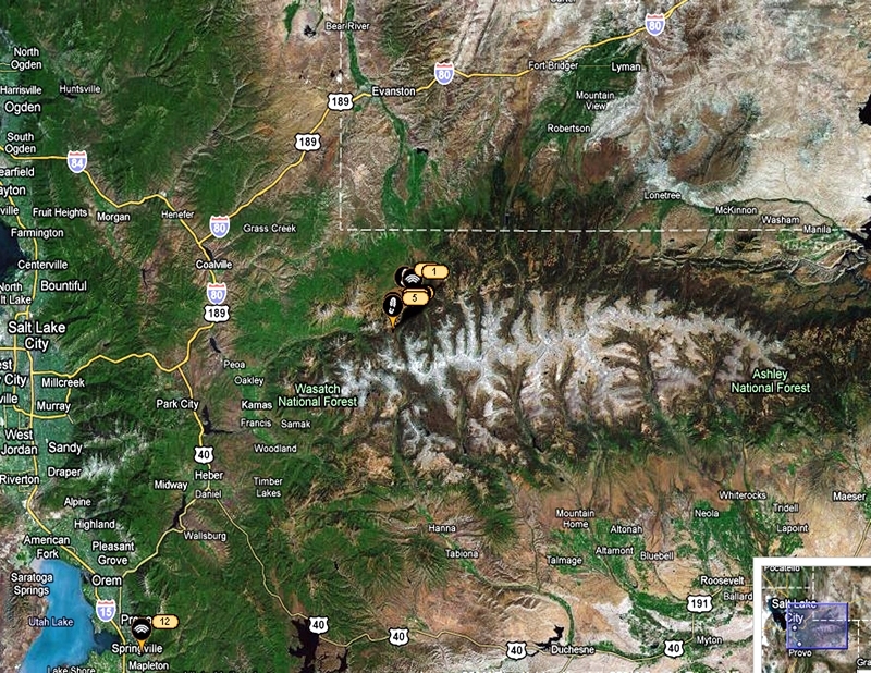
The Google Earth view seen below will indicate where I was to travel–from Springville, Utah up through Heber, Kamas and then on the Mirror Lake Scenic Byway onto the northwestern slope of the Uintas.
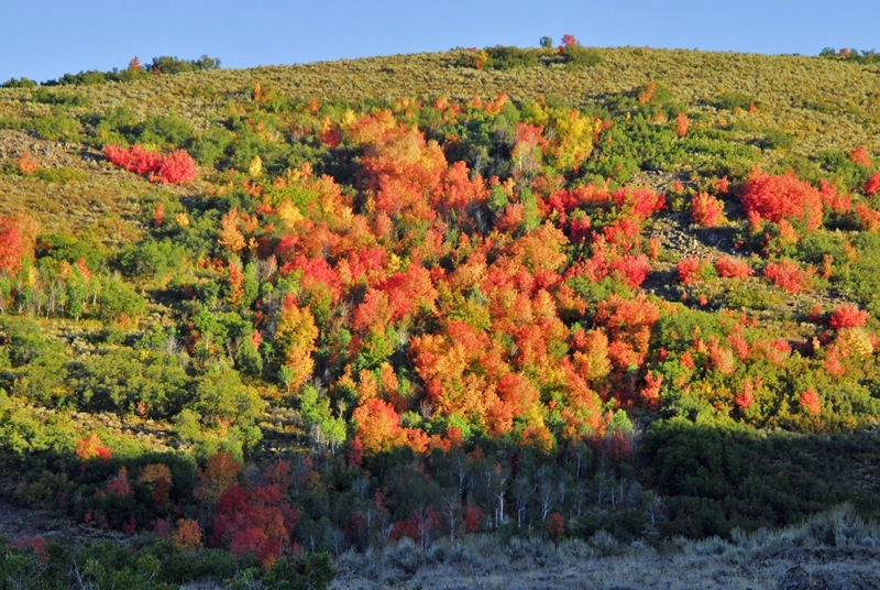
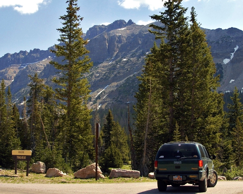
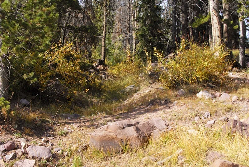
It was a beautiful drive with the vibrant colors of autumn all around me.
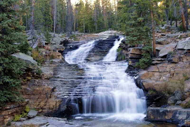
The Provo River Falls was a bit different than normal, with low water, but always gorgeous.
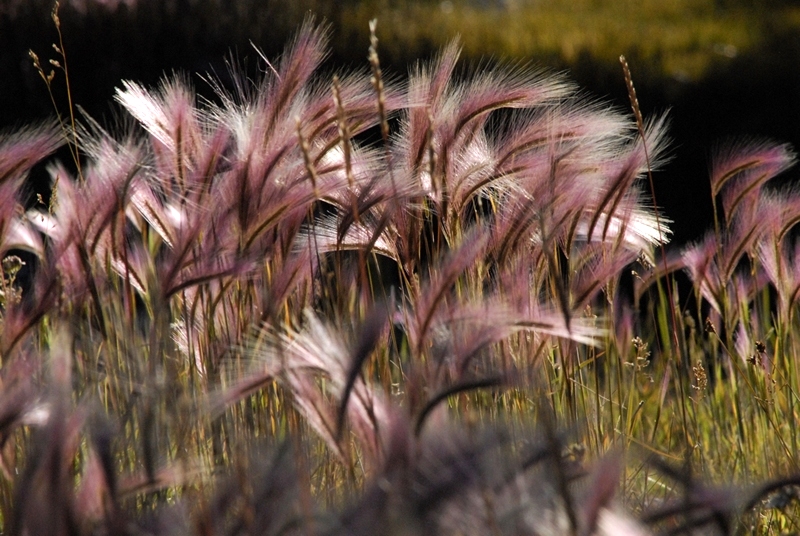
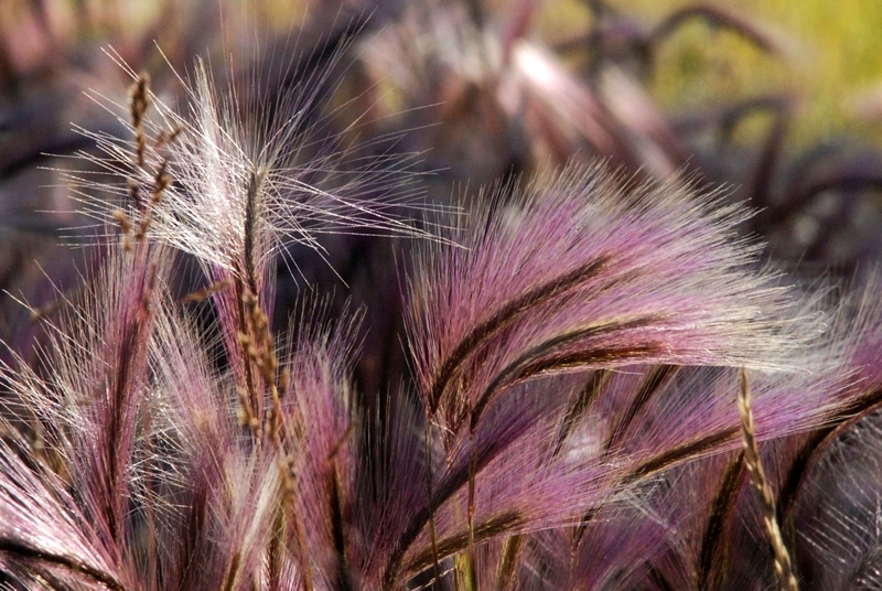
Foxtrails along the highway were long gone at the lower elevations, but were impressive up over 10,000 feet with a beautiful reddish/purple hue.


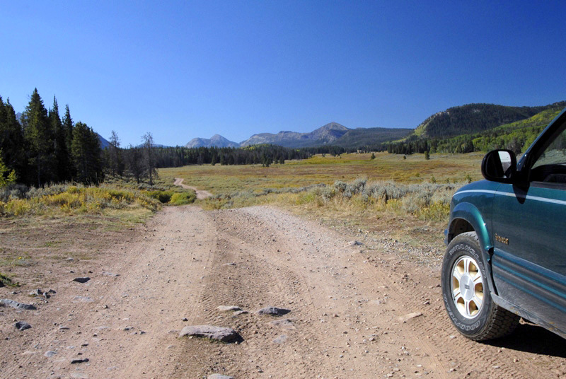
You continue south for about 2 miles and Gold Hill comes into view.

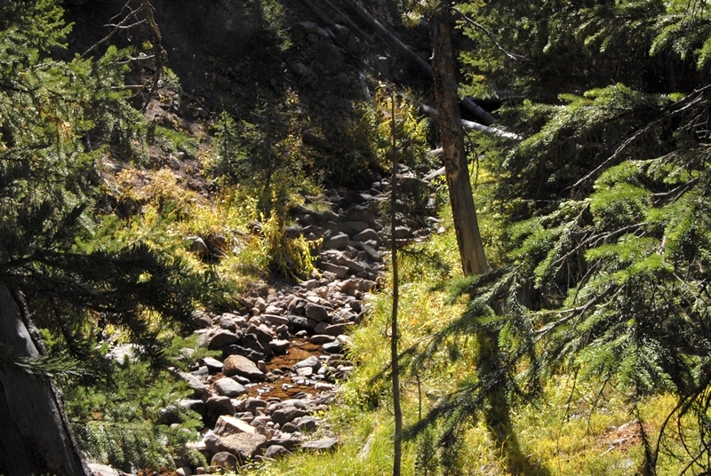
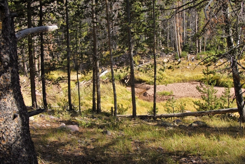
The creek you see below had very little water, and I began wondering where they had found enough water for the flume. Was there greater water flow 150 years ago? Did they only operate the flume in the early months of summer when the runoff was high? I will have to do more research to learn the details of this fascinating period of western history.
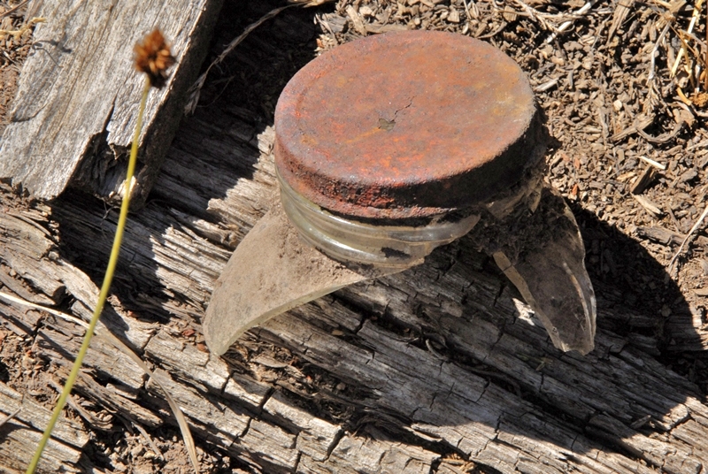
After an hour or so of hiking I noticed off to my left some glittering of broken glass. Up the road a bit a very faint side road led me towards the area.


Prior to the square or cut nail, nails were hand forged square nails, but tapered on all four sides. Cut nails were actually machine produced by a shearing process and only tapered on two sides. In pre-1850 America nails were so scarce and expensive that people would even burn down dilapidated buildings, and sift the ashes for the nails. Pulling them would have damaged them.
A bit further along I found galvanized nails as you see below. It would be natural to assume that these nails were even more modern, but actually the galvanization of nails, to prevent corrosion, began in 1742 in France, but in very crude form galvanized nails have been found dating back to 3000 B.C, and later the Romans hand forged and galvanized nails as did the first pilgrims in America in the 1600’s.

The first American company to galvanize nails was established in the early 1800’s but they were “cut” or “square” nails, not wire nails as you see above. Said company still exists today–The Tremont Galvanized Nail Co. The wire galvanized nails you see above had to be from the 1900’s and not from the Hilliard Flume era.
I then came to what I saw from across the creek, apparently a garbage dump–that have archeologists salavating.

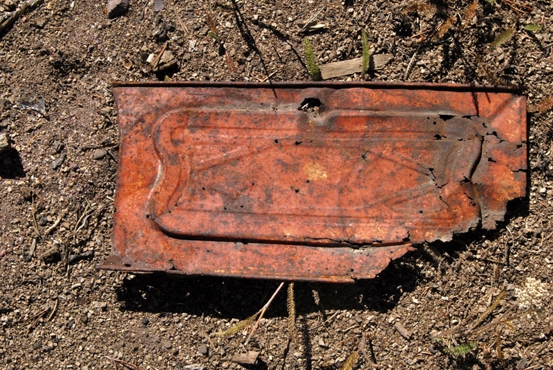
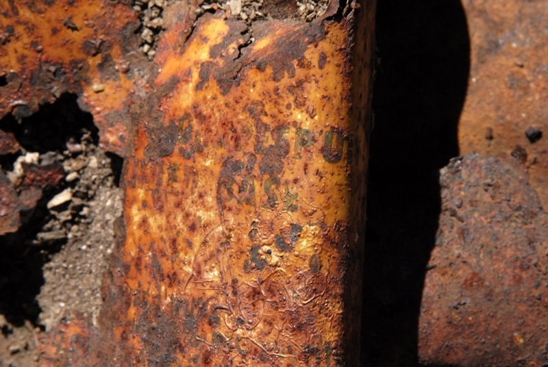
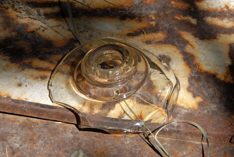
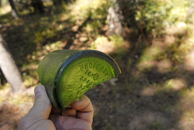
Below I’ll insert photos of the least deteriorated artifacts found here. All apparently from the 1900’s.
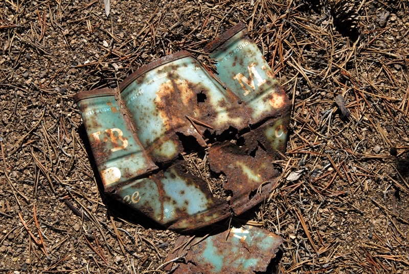

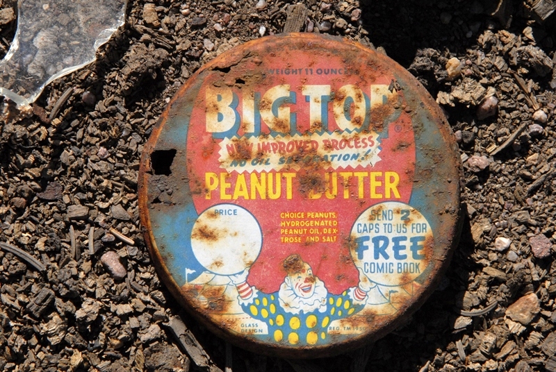
This is the most common brand of peanut butter up to 1950.
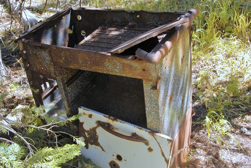
In the camp area, I then found a wood burning stove you see below similar to what I also found among the ruins of the Steel Creek Commisary, a tie hacker site near the Hewinta Guard Station on the West Fork of Smith Fork from the 1912-1935 period.
Nearby I found what seemed to be an old outhouse hole you see below.
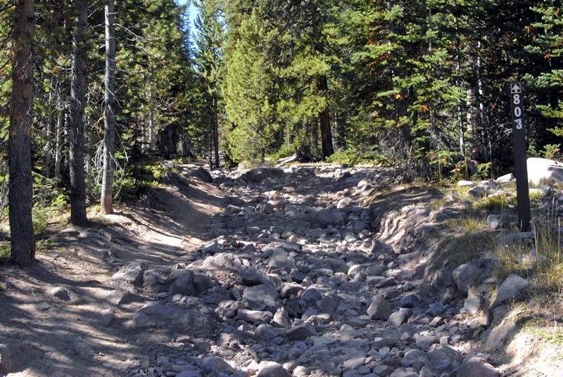
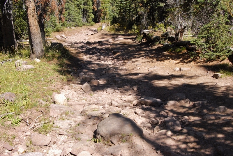
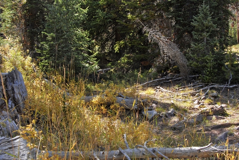
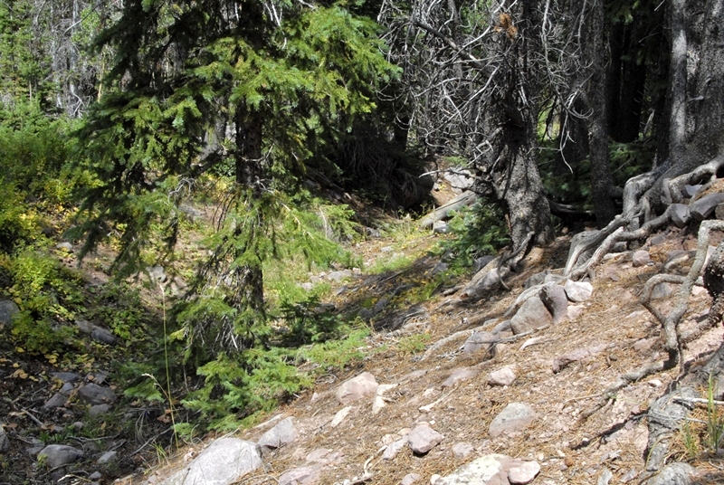
This area was about 1 mile from the end of the road included on maps and Google Earth. I concluded that I was way too far up the canyon for the location of the Mill City Ghost town. I turned around and headed down the canyon that had become quite narrow, with almost no water at all in the creek.
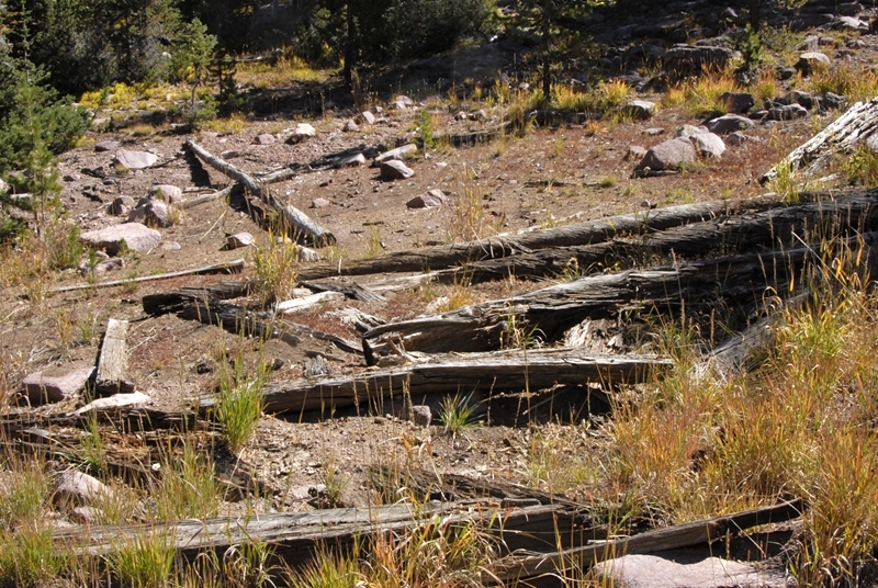
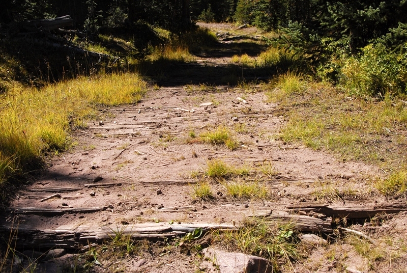
A few hundred yards above where I had parked, due to the rough road, there was a side road.
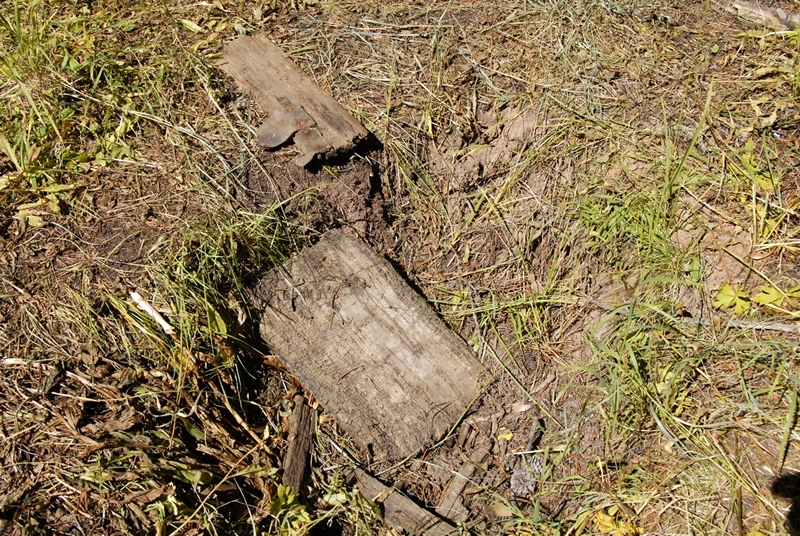
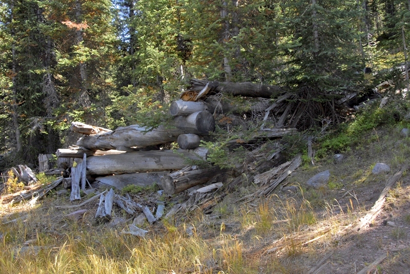
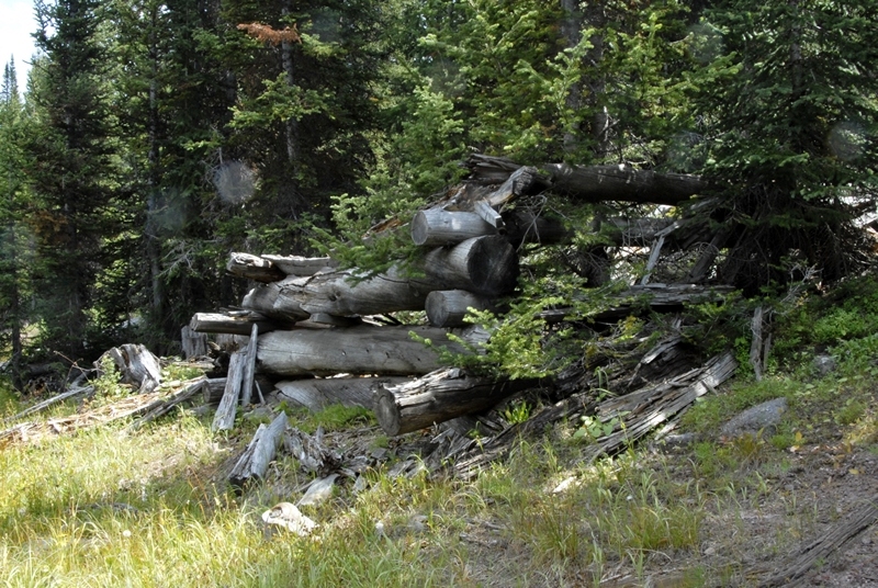
This road only continued for a few hundred yards, but in one section showed a very old system of making it passable, as you see in the photo below.


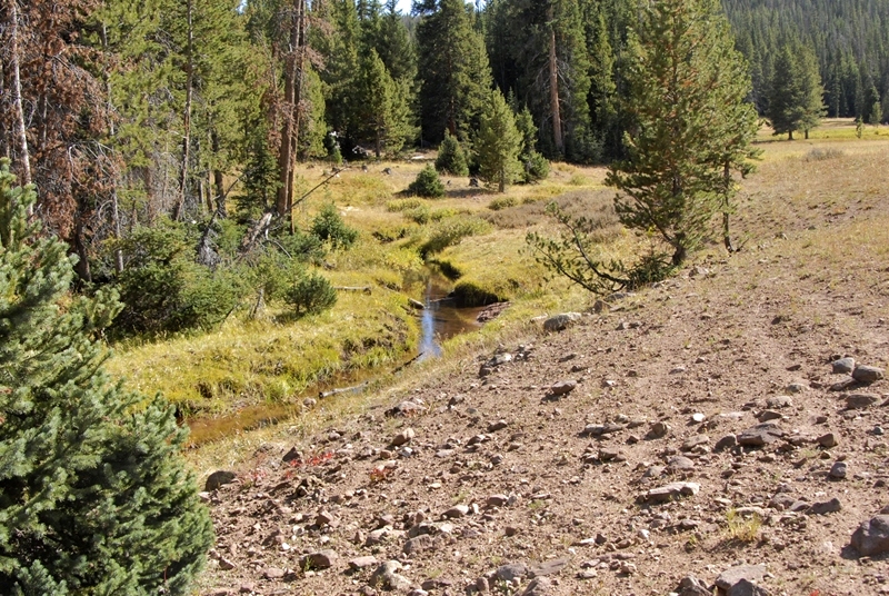
As mentioned the creek certainly doesn’t have enough water to supply what the flume needed to function. This is one of the mysteries I have to solve.

Here we see the remnants of what was a dam across the creek.
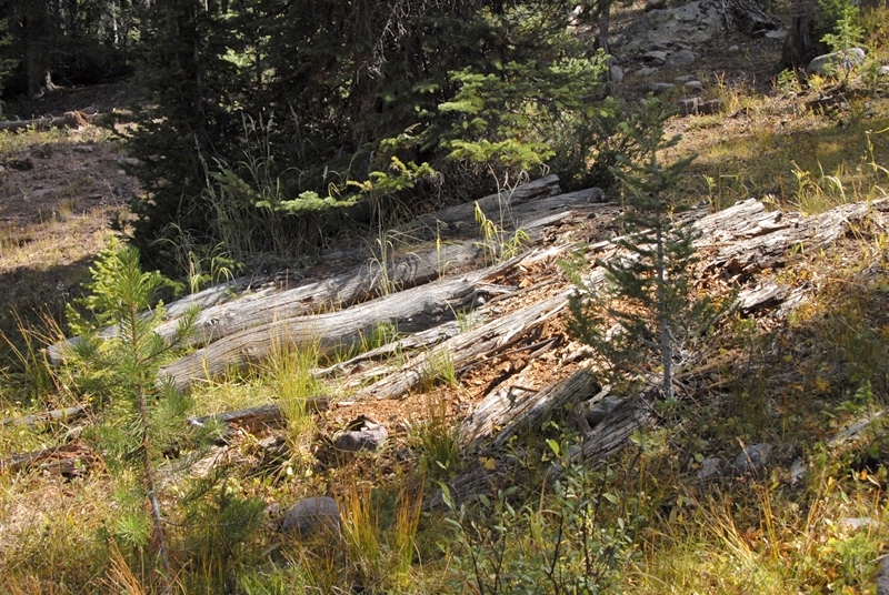
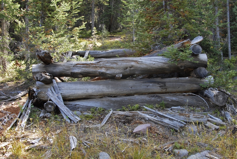
Another few hundred yards down the canyon the stream bed widened creating again meadows with abundant willows, and I noticed a log structure over on the side where the flume path was.

This again appears to be another loading platform. Below is the same structure, but photographed last year at about the same time, but apparently a wetter year with greener vegetation.

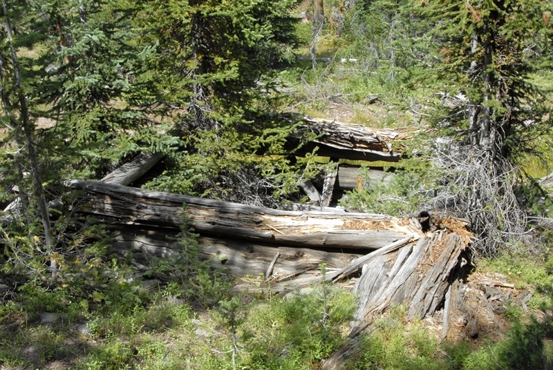
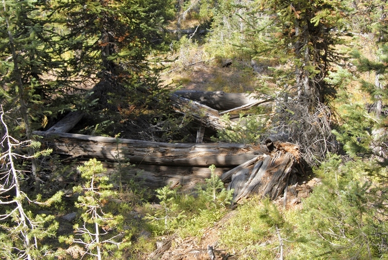
A very deteriorated cabin in the same area. 100 yards downstream I came to what appeared to be another dam you see in the two photos below.

Off to the side of this damned up area, we find the cut that I found last year, seen below, looking out into what would have been the pond area.
A view of the same cut this year is seen below.


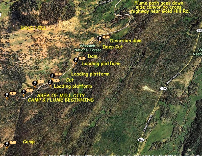
Below is seen the area of my explorations, then the path of the flume down to where it crosses the Mirror Lake Scenic Byway just a bit above the Gold Hill Road. You can also see the Area of the Howe Feeder Flume, and its path down to where it joins the Hilliard Flume.

I have to conclude that while I made some very important finds, I didn’t really find what must have been the site of the Mills City Ghost town. I decided I had to do more research, both in the Utah Historical Society, and the Wyoming equivalent, and then make another exploratory trip.
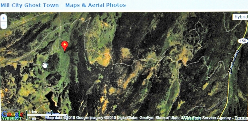
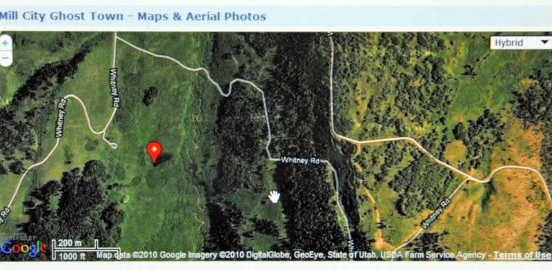
I did some preliminary investigation Googling “Mill City ghost town” and “Hilliard Flume” and found myself in the first two positions! I’m the expert? Apparently we are dealing with history that is not too well known. But, down the list I did find a site that pinpoints where the Mill City ghost town was. I”ll insert the Google Earth view below and then comment.

I will of course use my SPOT TRACKER–in fact I’ll program it right now so you will be able to track me on the weekend using the following link: SPOT TRACKER I won’t have a satellite phone, but will try a call to KSL OUTDOORS Saturday morning with a normal cell phone as I drive up into the Uintas.
ANY COMMENTS WILL BE APPRECIATED.