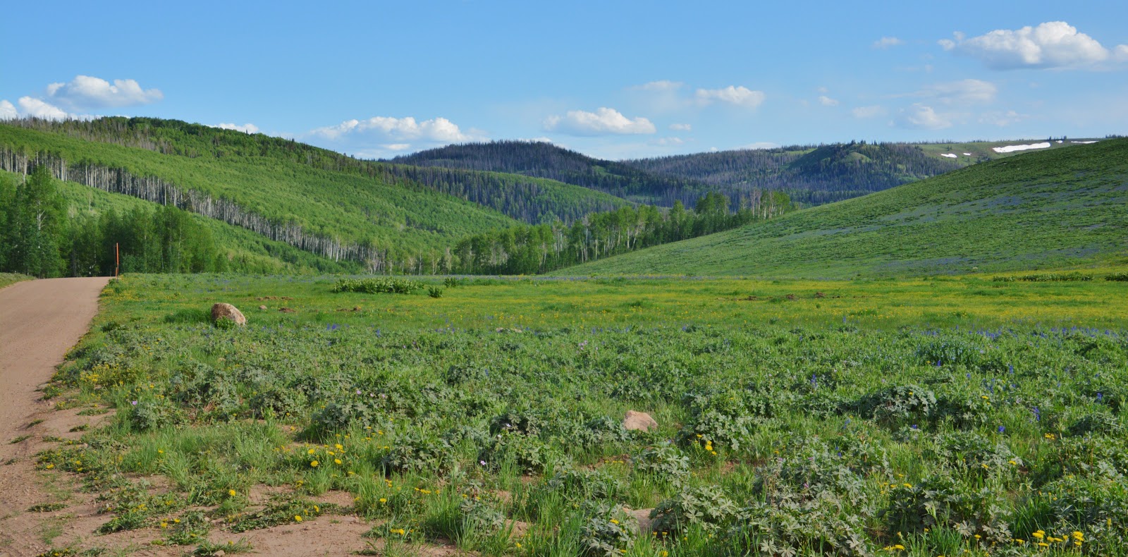
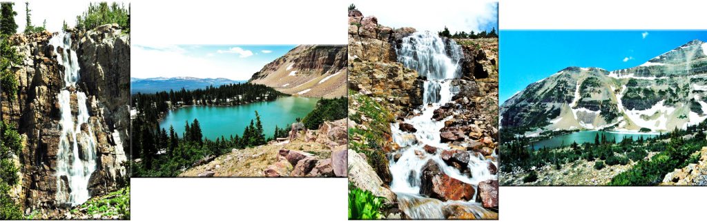
ANOTHER EXPERIMENTAL BACKPACK TO HOPEFULLY OVERCOME VULNERABILITIES to THE NATURALIST BASIN—seen below. Will be from August 9 to 12th leaving from the Highline Trailhead. For details see in the book, pages 163, 164 & 167. Click on the following SPOT to go to Spot Website and see where I am every day. I’ll do the last track when I arrive back home on Sunday or Monday.

To view the 9 minute YouTube video that reviews my eBook, click on the TITLE, rather than the play triangle.
A HIGH UINTA FRIEND Talks frankly about the eBook
Hi Cordell & High Uinta Friends:
I would be flattered for you to use my words to promote this great literary work you have created. I have been totally impressed at the volume and specific content of the book. Your writing style is very friendly as I feel like we just met on the trail as you are sharing your knowledge with me in an informal but helpful way. This kind of practical education can save lives and make a trip into a great memory, rather than a nightmare……...follows is my initial letter earlier today:
Hello, Cordell!, I just wanted to let you know how much I have enjoyed your book! I pull it up on my computer and spend 2 or three hours a day going through it, and it takes me 7 to 10 days to get completely through it. I have done so twice. Thanks for taking the time and effort to put this all together, it is epic!!
We are headed into Red Castle lakes next week, Aug 1, 2 & 3. We go to Red Castle every summer, and it has always been in July except for this year. This will be our 28th consecutive year of being there with my boys. Several years we have been there more than once. I am now 67, but my three sons have been my hiking buddies since they were 6 years old, and it has been one of the great things of our lives. It has kept us close and also kept us as best friends. We love the Unitas! We have been to several other basins in the Uintas, but Red Castle has been the favorite. We now have some of my grandsons, and sometimes granddaughters, who are coming with us, and that makes it that much better.
I have been following you for about 5 years now, and I have a great deal of respect for your methods and skills! The Uinta trails are challenging but rewarding, and we are just so excited to get up there each year. Your experiences are valued, and we now look at what you have to say about an area after we look at a map, and your experience helps us make a decision about whether we go there or somewhere else. And we love the histories you have come up with. That is one great book!
Thanks for all you do in sharing your experiences in this jewel of the mountains! Hope to see you on the trail one of these days!! I wish you a long and happy life!
Thanks Again! Lon W. Sorensen RETIRED
******************************
Thanks, Lon, for your great endorsement
SCROLL DOWN TO LEARN MORE ABOUT THE BOOK & SEE THE LIST OF ALL THE “HIGH UINTAS NEWSLETTERS”
*********************
NOW TO THE FIRST BACKPACK REPORT……
…………A BACKPACK DESIGNED TO UNCOVER MY VULNERABILITIES to determine whether I could safely continue backpacking/exploring
&
PREACHING THE GOSPEL OF SAVING LIVES THE GOAL:
NO UINTA DEATHS

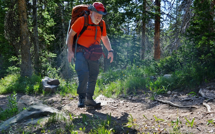
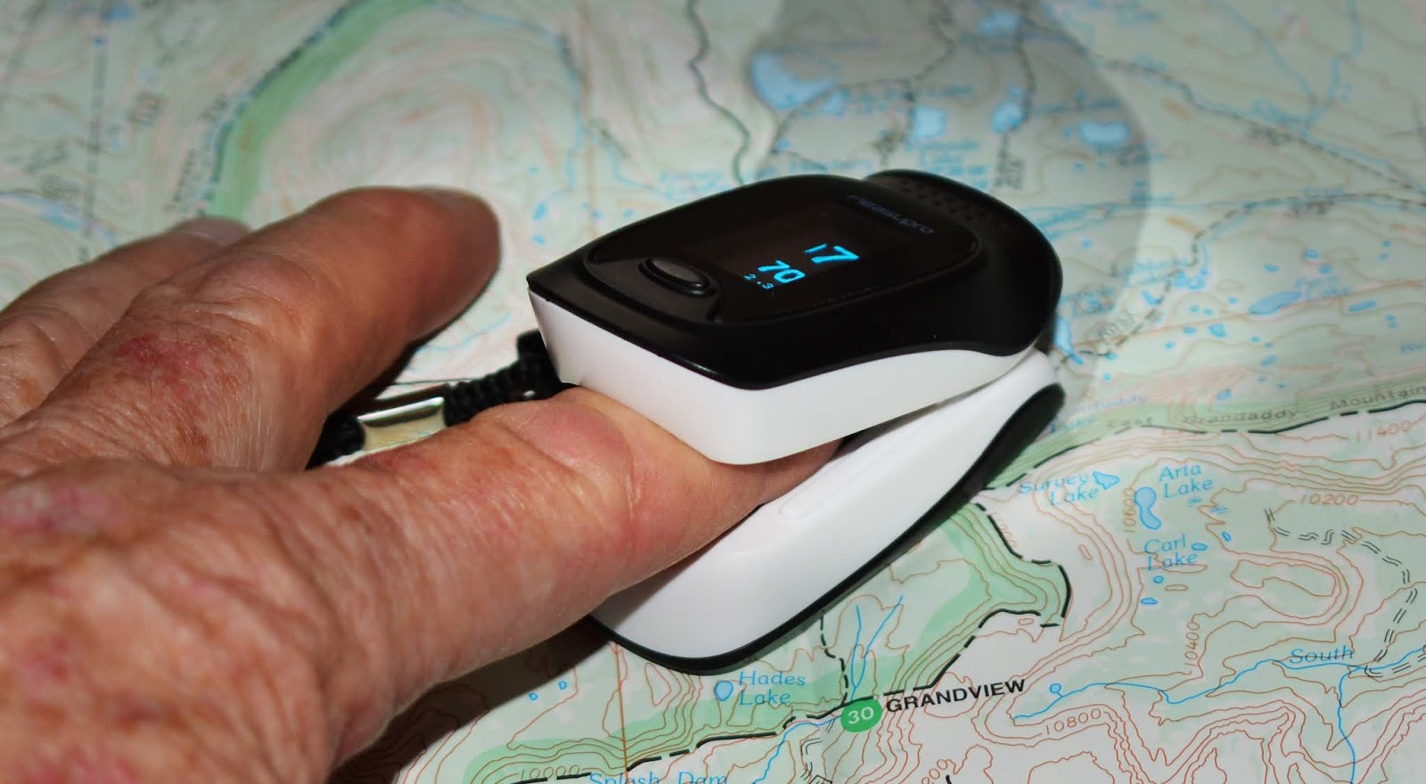
In recent years I have had increasing problems with High Altitude Sickness, but with the help of an Oximeter I have learned to manage the complication, by checking myself at every rest stop and when the oxygen in my blood drops below 90 I rest a little extra until it gets back into the 90+ range.
My emergency kit also has always Diamox, a prescription medication that helps the body aclimatize.
In the last couple of years, all has been complicated with chronic bronchitis, further complicating my lungs ability to absorb oxygen, plus a slightly high blood pressure problem, thus I take extra caution and monitoring myself, including with a
blood pressure cuff, and also have extra blood pressure medication, as well as Nitro Glycerin in case of a heart event.
Adding to the complication of “aging” is lower back issues having had two back surgeries since 2012, fusing my last vertebrates with titanium gadgets in there to hopefully keep everything lined up properly–but in the last year or so acute, piercing pain in my left upper buttock has caused me fits. A few days before the backpack the Dr. gave me a special injection into my lower spine to hopefully help–but as I left home to head for the Uintas it hadn’t kicked in yet.
Part of my emergency kit was over-the-counter pain medications: Excedrin for the daytime, Ibuprophen for the night. A principal item in my supplement bag, as it has been for 40 years–anti-inflammatory gel caps of Cod Liver Oil, that has saved me from arthritis, also giving effective relief from both lung pain and back pain.
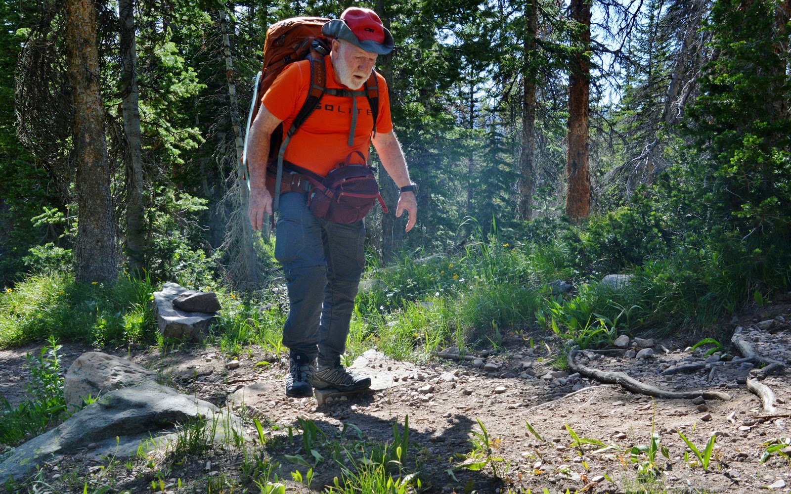
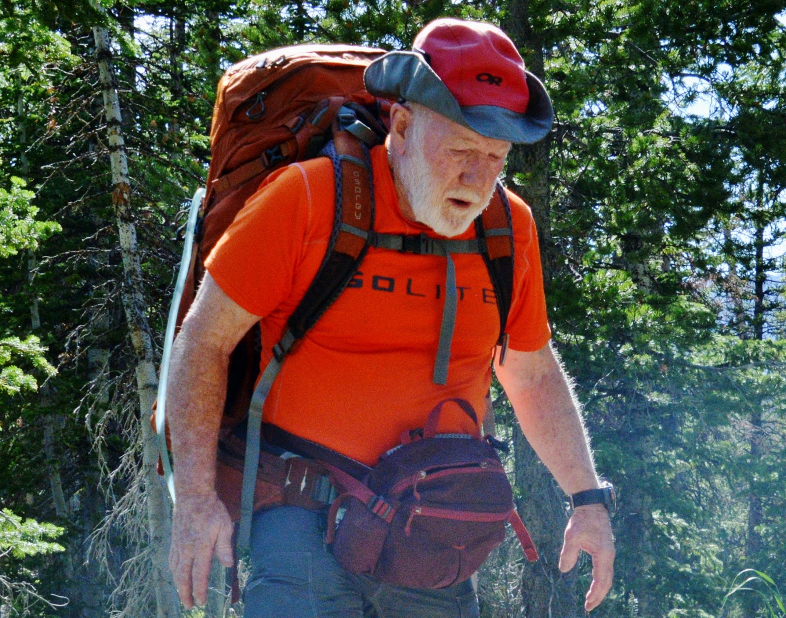
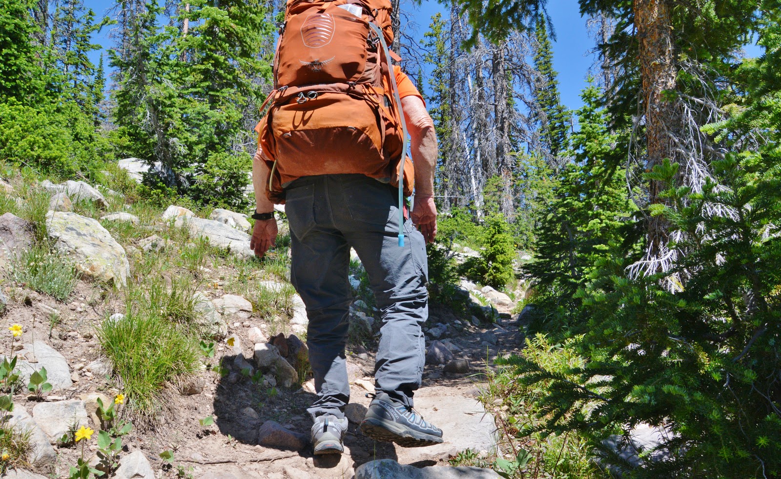
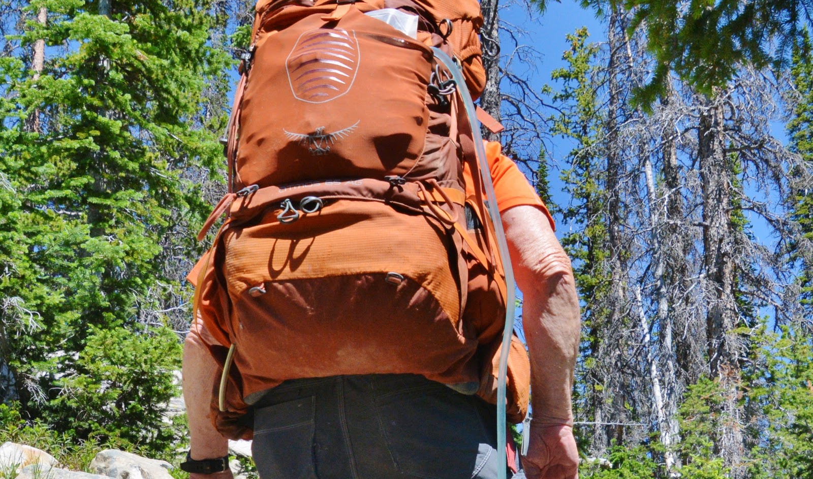
As I have had to do since 2003 when I started my High Uintas Wilderness Project, I have had to go prepared for any of the complications mentioned, plus whatever else might cause trouble for an old guy. So, the weight of my load: Backpack, and photo waist-pack, came to around 37 lbs., including 2 lbs. of water.
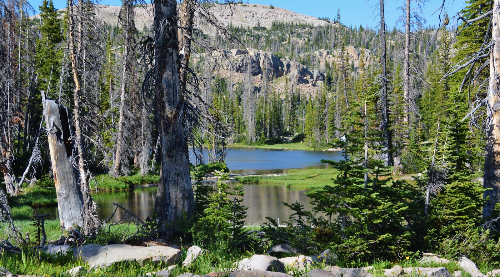
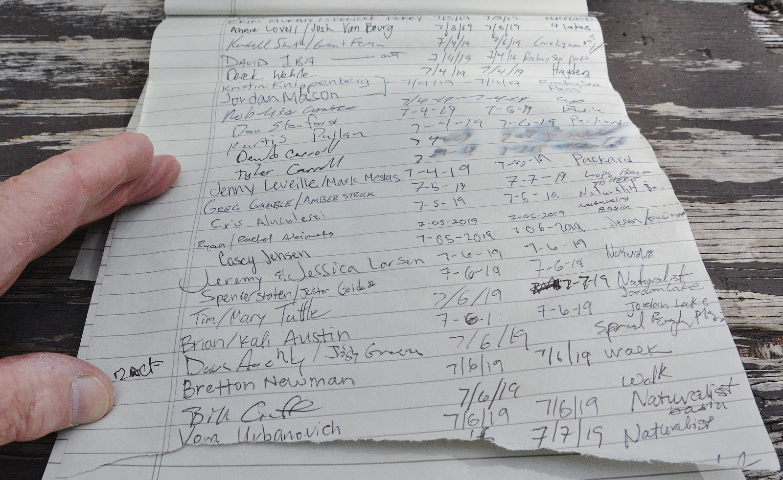
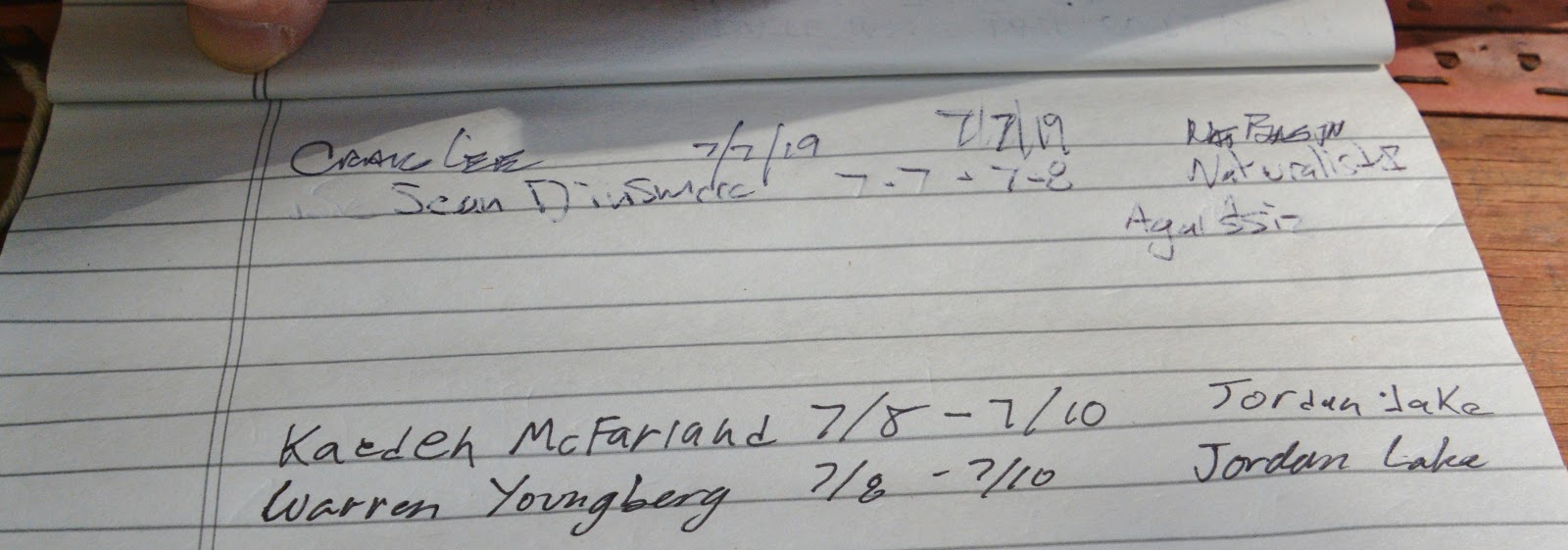
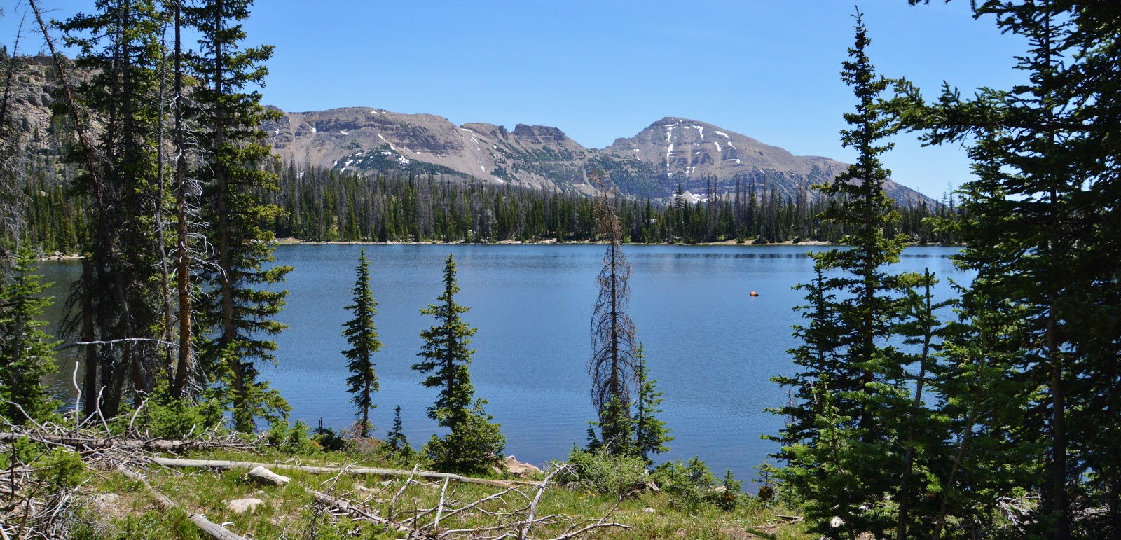
Above we are seeing a lake named on the topographical maps, Picturesque Lake, but not on the DWR’s radar. It is the first lake one comes to and is part of the Boy Scout Camp. North of it you come to Scout Lake.
I had to be very careful on the rocky trail–especially on the first backpack as it takes some time to get your mountain legs in tune with the mountain—BALANCE being literally a matter of life and death
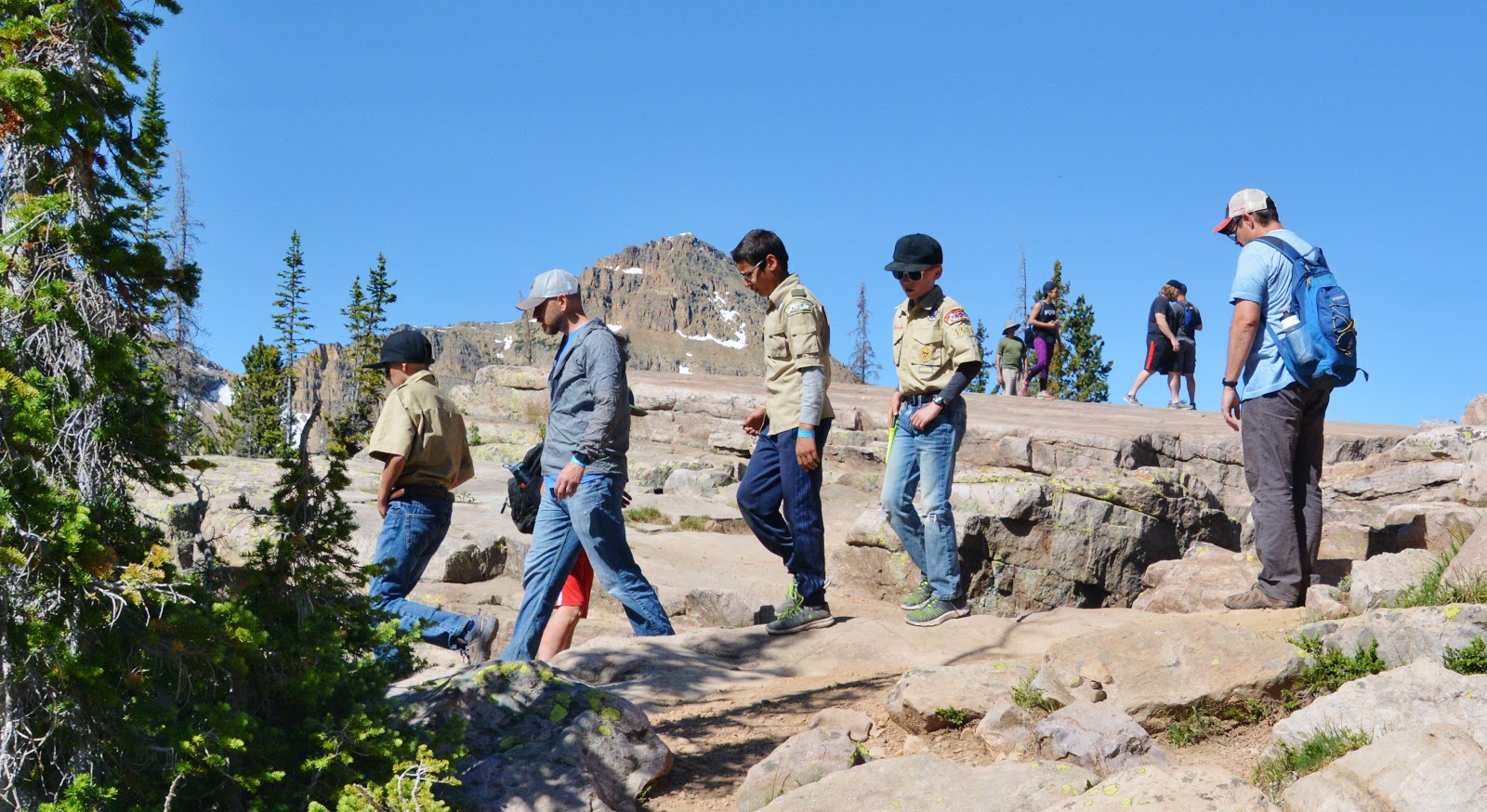
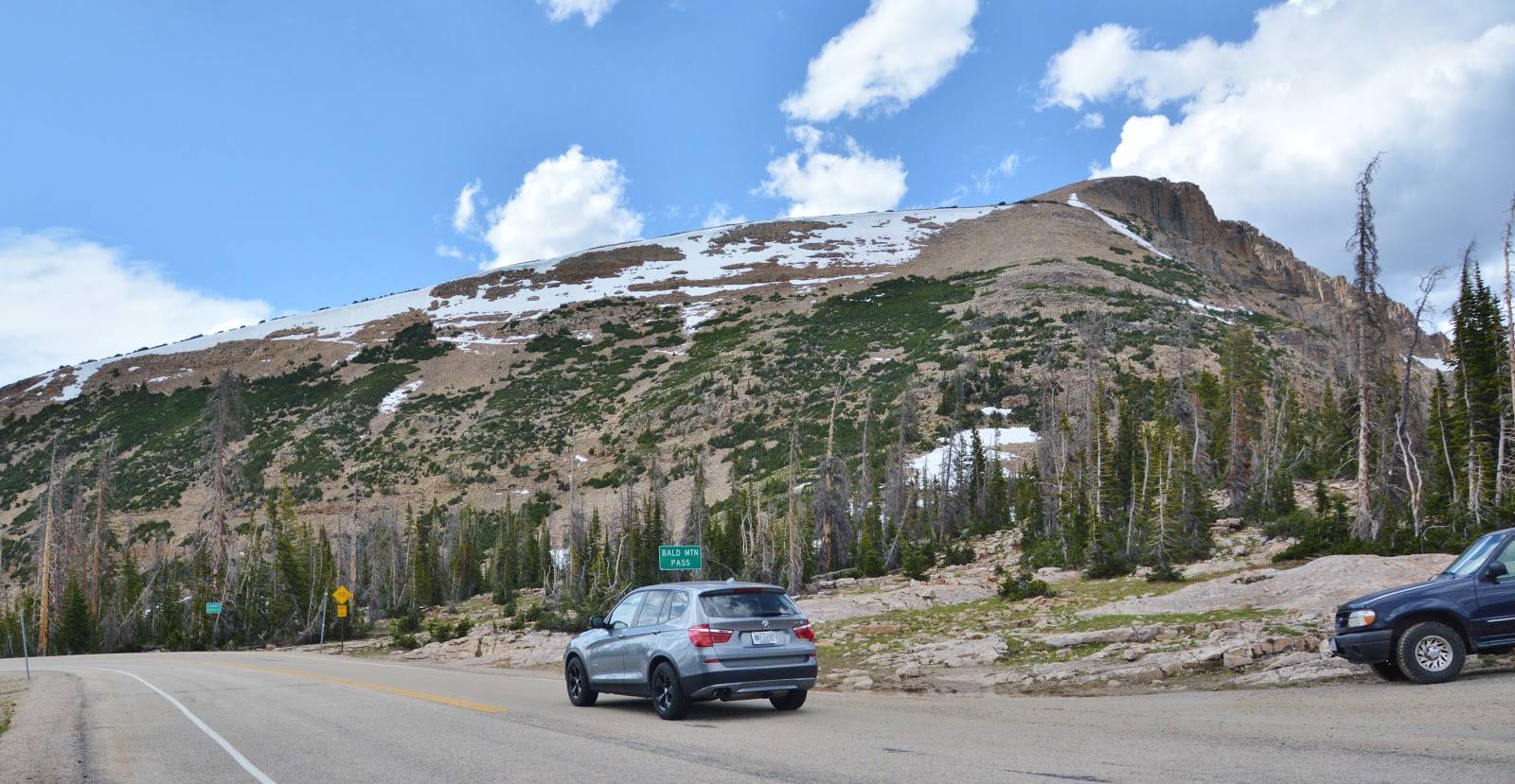
On my second day I followed a group of Boy Scouts leaving the main trail and climbing up where one gets a great view of Bald Mountain, and down below to the south, the Mirror Lake area.
I had with me a thumb drive with my book and I wanted to get it into the hands of a Scout leader, so picked the one in the gray sweatshirt and got into a conversation about my book and gave him the thumb drive. Others gathered around to hear about the book, and how important it is to save lives. Some of those lost over the years have been Boy Scouts, so this was of prime importance for me.
Then I got back on the trail and soon was hiking past Scout Lake you see below, with Mt. Agassiz seen on the middle right.
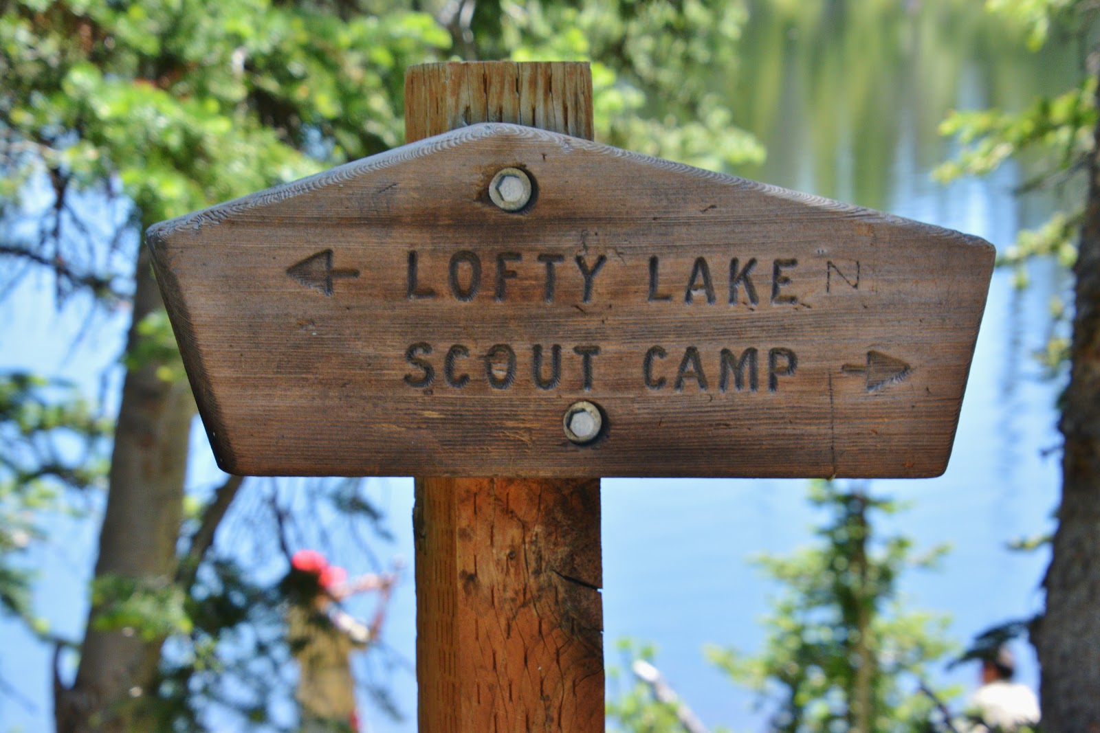
I was now carefully hiking past Scout Lake, and began climbing the very rocky and steep trail to Lofty Lake, found up near timberline at about 10,800+ feet. I know that for most of you out there who are backpackers this will all sound pretty wimpy, but in my 84th year, with so many complications and glitches I was working to overcome, maybe some of you will understand.
I stopped and talked to many on the trail–all of them day hikers–with just small day packs, most who seemed to be very understanding….and when hearing I was in my 84th year,
I even got some FIST BUMPS!
Actually, the oldest hiker/backpacker I have ever met in the Uintas was 82 years old Ed Slater, who you see below with his nephew on Gun Sight Pass in 2004. I was 68 at the time.
NOTE: Hey, Ed, you’d be 97 today. If you’re still around, let me know. I’ll send you a thumb drive for FREE!

They were on their way to Kings Peak to leave there a little brass tube with the ashes of Ed’s brother. Their camp was at Dollar Lake and they were day-hiking to the peak.
PAUSE: It’s 10:00 AM and getting hot outside, so I’ve got to leave this for an hour or so and get outside to get some exercise hiking over to the Fresh Market for a well deserved treat. Back in a bit!
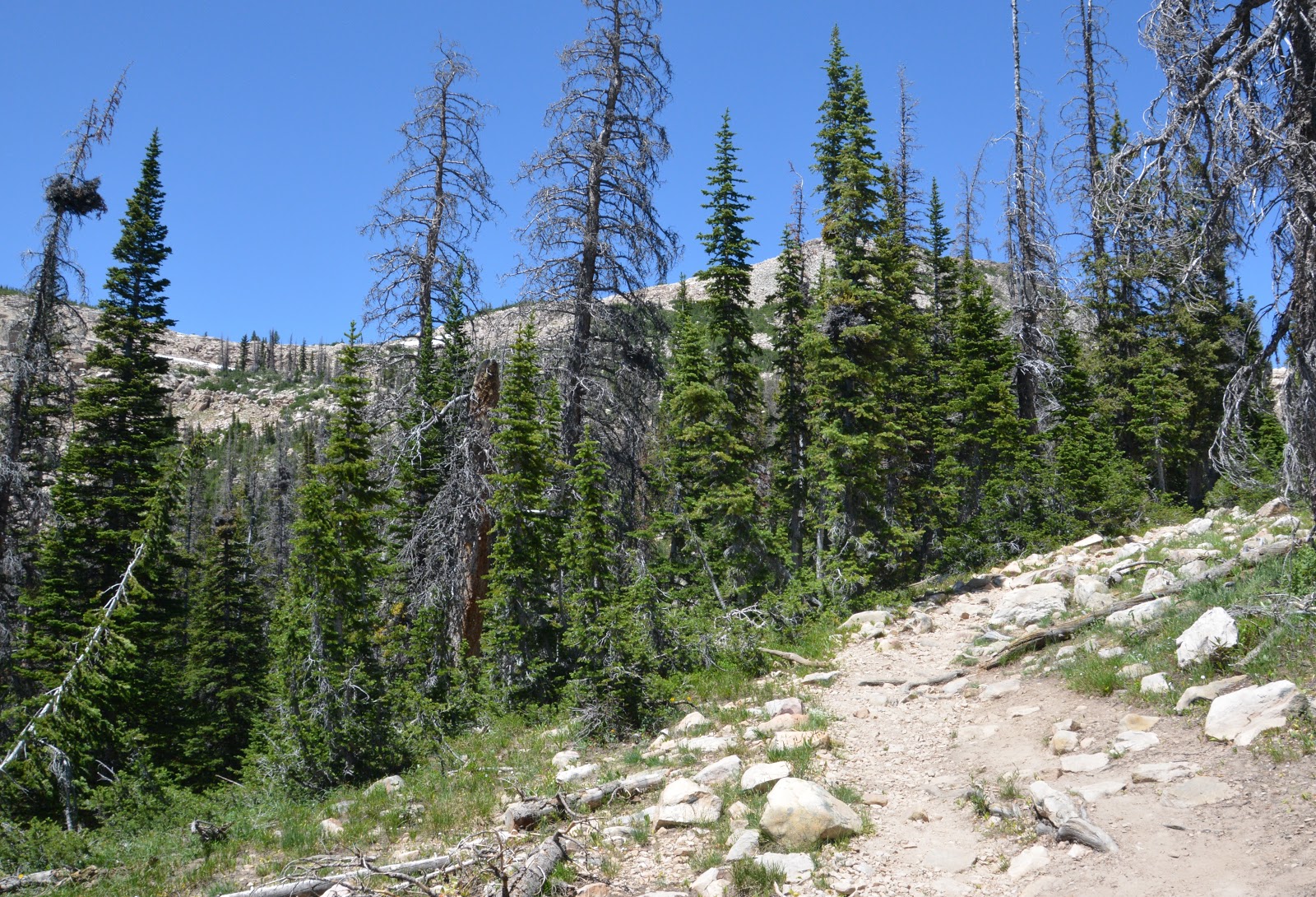
I had no choice but to go very slow seeing way up in the distance the pass I had to reach to get to Lofty Lake.
Just recently I had some complications that worried me–dull throbbing pain in my middle-right back that would hit me in waves when I least expected them, and my doctor did his best to try and figure it out: Suspecting liver/kidney/gall bladder problems, I went first through ULTRASOUND, then BLOODWORK, next a HILDA SCAN at the Nuclear Lab in Provo–injected with a radioactive isotope into my blood, and then the scans that took nearly 2 hours; Next a CAT SCAN with iodine injected into my bloodstream. Everything seemed normal, so I just upped my intake of Cod Liver Oil gel caps–3 of them 3 times a day.
As I struggled up the steep trail I would be wheezing along and at times a cough would come out of nowhere! It wasn’t the gurgling kind of sudden cough that had been High Altitude Sickness on the Garfield Basin trail in 2011. Checking my oxygen level–I determined it wasn’t that, rather just my chronic bronchitis for which the Dr. said there was no cure–so I had learned to manage it, like other glitches.
Balance worried me as many times I came close to falling, and so I took extra precautions. Then my right knee that for more than 30 years I had called my “motorcycle knee,” but which became titanium in like 2008, but for the first time in years started slowing me with sharp, knife-like jabbing pains.
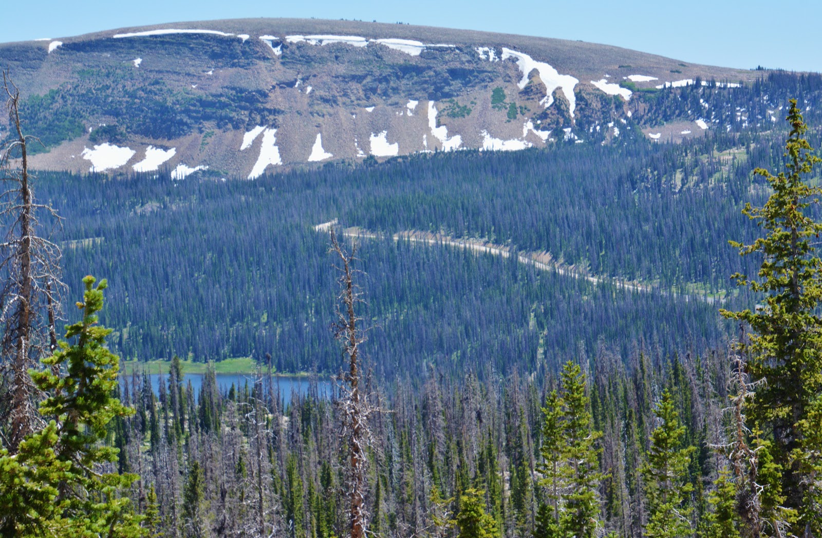
By this time I was up to a saddle from which I had a great view of the Mirror Lake area seen above, including the Mirror Lake Scenic Byway climbing towards Bald Mt. Pass. To the north, I could look down into the Ruth Lake area, and there was a trail that headed down into it.
On dropping down a bit to that saddle, the jolt down began causing sharp pains in the left-lower back which worried me as from there it was a hike down all the way to the trailhead.
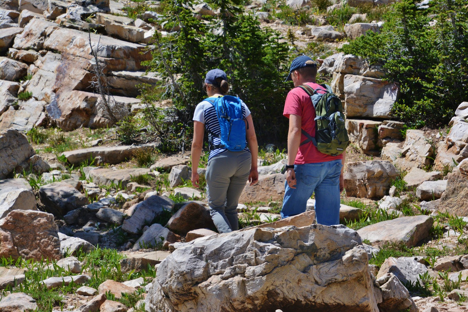
I stopped to rest and get an energy bar into my system when a couple came by and headed up towards the pass–that by that time for me seemed like a million miles away.

Sounds again sort of wimpy, but I was achieving the purpose of my backpack, TO UNCOVER MY VULNERABILITIES
& to determine whether I could safely continue backpacking/exploring,
WHILE KEEPING FOREMOST IN MY MIND:
THE GOSPEL OF SAVING LIVES–especially mine! THE GOAL: NO UINTA DEATHS
So, I had to be brutally honest and really had no choice but to remember
Kenny Rogers, the Gambler, as well as my friend, Forest Gump after he had been running around the country for 3 years, with a little rough looking group of followers. He stopped and looked towards them, one of them saying, “Quiet, he’s going to say something,” they expecting some kind of prophetic utterance, he rather saying:
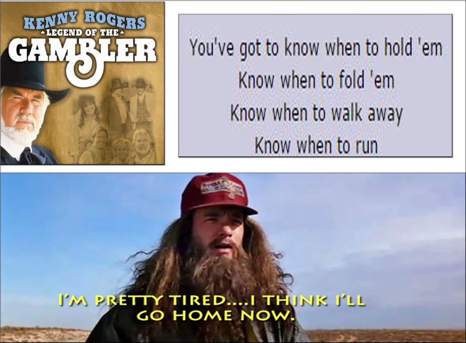
That is pretty much how I felt at that moment,,,,,and, after a rest, heading back down the steep, rocky trail, I became even more convinced my decision was the right one as numerous times my BALANCE became a dangerous problem. I was always able to catch myself and with a little agility left, save myself from falling.

As I carefully continued down–to experience as little as possible the jolt of stabbing pain in my back (by then I was maxed out with Excedrin) and maintain my balance, it had me more aware than ever how easy it would be for an elderly person, or anybody that hadn’t developed yet their “mountain legs,” to make a misstep on a dangerous mountain trail and fall into a ravine. They wouldn’t have a chance to get out their SPOT TRACKER, turn it on and hit the 911 button, much less dig out of their waist pack their SATELLITE PHONE, turn it on, get a signal, and make an SOS call for help.
Of course if they had of been checking in daily with a SPOT tracker, or similar device, friends at least would know today where they had been the day before and make finding them possible. Otherwise…….……..THEY WOULD JUST BE LOST & NEVER FOUND…..
…….such has been the case of many, like Melvin Heaps who disappeared on a day hike in 2017 and still never found, or the Boy Scout, Garrett Bardsley, who disappeared in 2004 and has never been found.
I carefully headed down the trail, convinced that–especially, in my present state of BALANCE, it wasn’t fair for me to continue at high risk, and perhaps create a giant problem for loved ones and others.
I made it down to the trailhead and eventually home………grateful for having discovered my vulnerabilities, and realizing what I had to do–or not do, to be part of the GOAL of
ZERO DEATHS IN THE UINTAS for this year.
CONCLUSIONS:
Most of them are pretty well inferred in the discussion so far but I have to finish with something very positive:
While not feeling all that well on the experimental backpack, the truth is that for having got carefully some great exercise, I NOW FEEL SO MUCH BETTER THAN I DID BEFORE THE BACKPACK, and I am energized with my future seeing that by pushing myself carefully and learning to manage the glitches I can improve a lot and yet have backpacking in my future–even in my 84th & possibly 85th year.
But, I have to sacrifice some things, to be able to enjoy more backpacking in my future…. now with another planned for August 8-12 to the Naturalist Basin. It has to be long enough to carefully develop my “mountain legs,” and I will have to use some wisdom for it to be possible, like getting my pack weight/load down from 37 lbs. to around 25-27 lbs.
Below we see my beloved NIKON CAMERA with the incredible TAMRON 18 x 400 mm zoom lens, along with my NIKON FISHEYE LENS, plus close-up & polarizing lenses, a couple of extra batteries, plus extra memory cards, and of course my 9mm. Glock 43 and extra magazine with +P Grizzley ammo, along with the waist pack, all weighing around 7+ lbs.

Those 7 lbs. will have to go, and could be replaced by my 6 oz. point and shoot camera, that also does video of good quality.

……or, just my smartphone that takes great pictures and uses no space at all.

That would leave me with only 30 lbs. of load for a 4 day trip, and I know I can eliminate a few more lbs. and have a pack on my back that I won’t even hardly feel, and make balance much safer, and agility and endurance much more possible.
I already have enough great photographs for a lifetime, and now have to focus on……
……“NEVER, NEVER, NEVER GIVING IN…..EASILY!”
*********************
HIGH UINTAS NEWSLETTER – beginning 04/19/19
- #0 – VOW FULFILLED–eBOOK NOW AVAILABLE
- #1 – A FREE GLIMPSE OF BOOK – BYU Radio interview link
- #2 – UINTA OPENING WATCH —ALL ABOUT SAVING LIVES
- #3 – AN EASY WAY TO GET BOOK – a thumb drive
- #4 – GOLDEN SPIKE CELEBRATION—SOMETHING MISSING — only in the Book
- #5 – HISTORY, LIFE-SAVING STORIES, LEGENDS-BIG Foot, LITTLE & SMALL Foot
- #6 – NOT GIVING UP-TAKING NO GUFF–YOU’LL LOVE THIS LIFE-SAVING BOOK!
- #7 – REPORTS FROM HENRY’S FORK & HADES CANYON
- #8 – IT’S ALL ABOUT SAVING LIVES – Index listing for “SURVIVAL”
- #9 – “LITTLE ITALY’S (Hanna) FIRST LADY” encourages with her smile: “Buy the book!“
- #10 – “SAVING LIVES” — YouTube video promoting book
- #11 – “LAST CHANCE FOR DISCOUNTED PRICE”
- #12 – ‘THE GRANDADDIES” & all Trailheads accessible.
- #13 – NEW UPDATE ON UINTAS – THUMB DRIVE with BOOK available–GREAT GIFTS
- #14 – CELEBRATING EXPLORATION – Book guide to ENJOYING the GLORIOUS MAGIC OF THE MOUNTAINS
- #15 – HELPING BOY SCOUTS & ALL – GOAL: NO DEATH IN THE UINTAS
- #16 – PRINT VERSION of BOOK – Emerald Lake
- #16a – For purchasers of book – PRINT VERSION – Emerald Lake
- #17 – BACKPACK to THE NATURALIST BASIN – another experiment.
**********************************
HOPE TO SEE YOU ON THE TRAIL OR ON AN ADVENTUROUS BACKWAY SOON
*************************************