
NOTE: None of the photographs can be used without written permission from Cordell Andersen.
EMAIL: cordellandersen@hotmail.com
Click on the post of your interest:
ANTI-AGING CHALLENGE: A Humorous & Exciting Journey
UINTAS SOUTH SLOPE TRAIL CONDITIONS – May 26, 2015
For Grandaddy, Rock Creek, Yellowstone Creek, Uinta River Trails
ACCESSIBILITY..PRESENT CONDITIONS: North & South Slope conditions
The YouTube video of “DAZZLING HIGH UINTA BEAUTY”
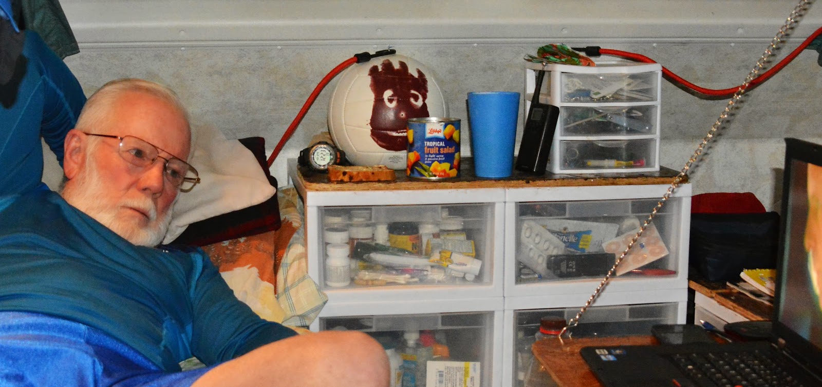
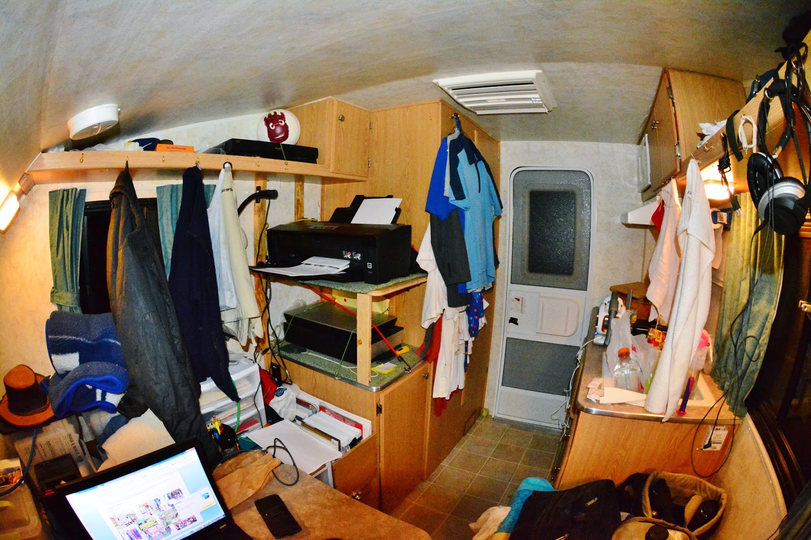
“Weird Old Homeless Guy…or…Eccentric Millionaire? What’s the old geezer up to this summer? &
FLY FISHERMAN MAGAZINE article
This report–mostly photographs–will give us an idea when we might be able to hoist our backpack to our shoulders and get on the trail….
EMAIL: cordellandersen@hotmail.com
Click on the post of your interest:
ANTI-AGING CHALLENGE: A Humorous & Exciting Journey
UINTAS SOUTH SLOPE TRAIL CONDITIONS – May 26, 2015
For Grandaddy, Rock Creek, Yellowstone Creek, Uinta River Trails
ACCESSIBILITY..PRESENT CONDITIONS: North & South Slope conditions
The YouTube video of “DAZZLING HIGH UINTA BEAUTY”
“Weird Old Homeless Guy…or…Eccentric Millionaire? What’s the old geezer up to this summer? &
FLY FISHERMAN MAGAZINE article
This report–mostly photographs–will give us an idea when we might be able to hoist our backpack to our shoulders and get on the trail….
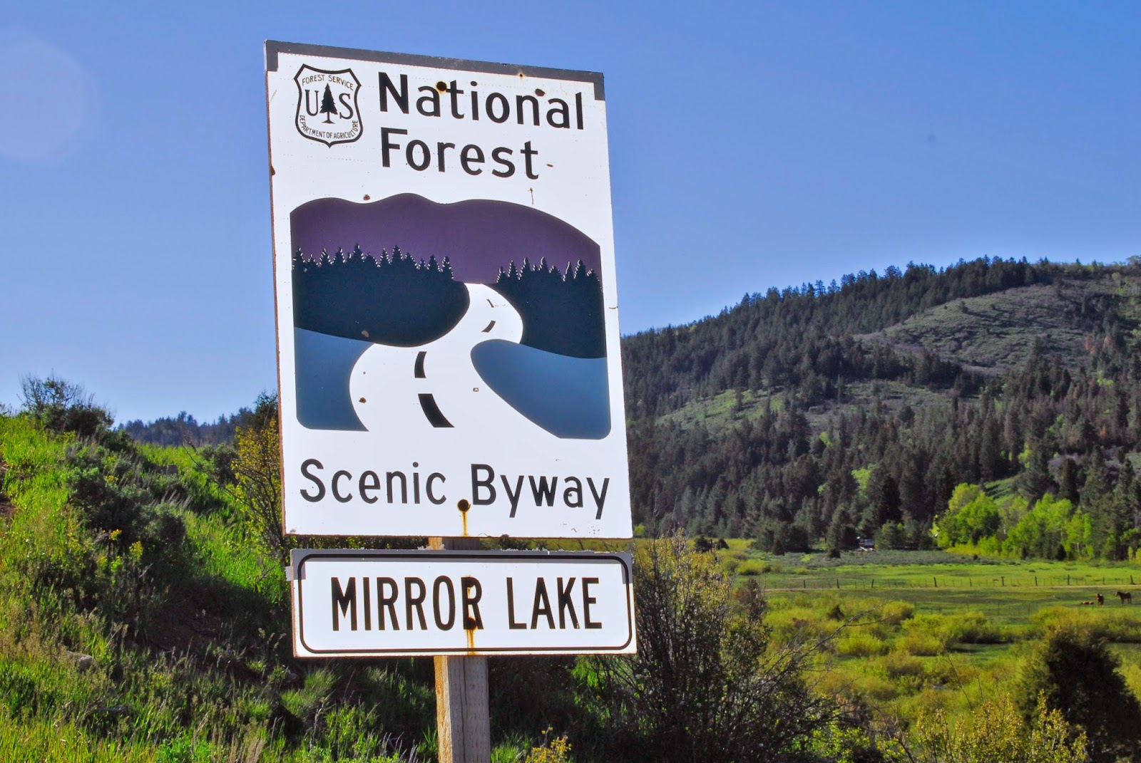
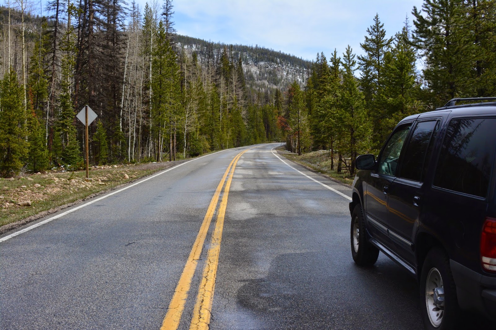
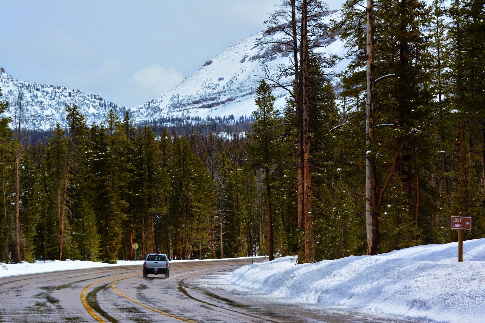
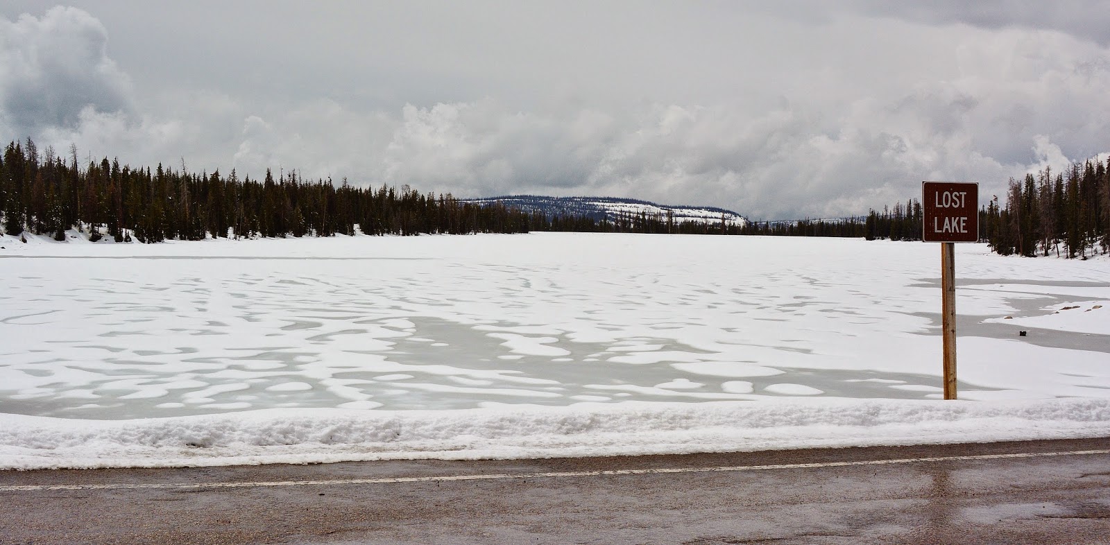
The MIRROR LAKE SCENIC BYWAY opened on Tuesday, May 19th
THE TRIP Thursday, May 21st.
We start again at the overlook of Jordanelle Reservoir. We can see the water level is up from when the first report was made in early April after a very dry Winter, but followed lately by a wet Spring….which might save us!
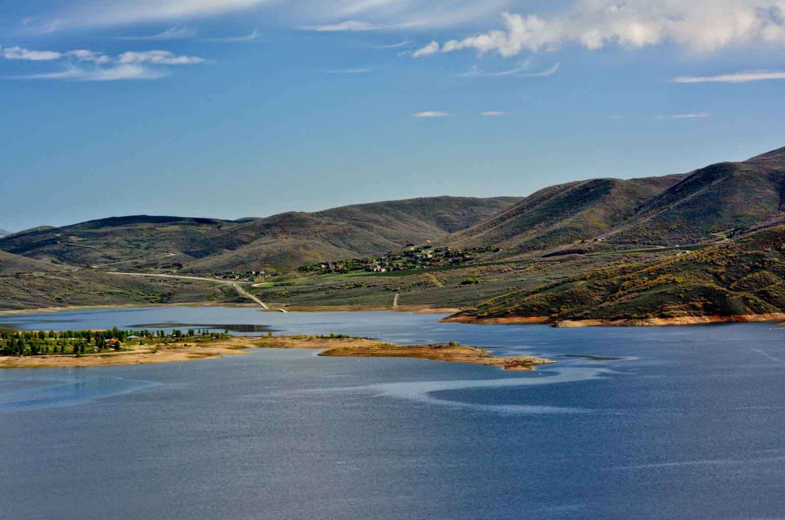
From the overlook we see the High Uintas looming to the east.


I started in American Fork, making it 48 miles to Kamas…one of the Gateways to the High Uintas.


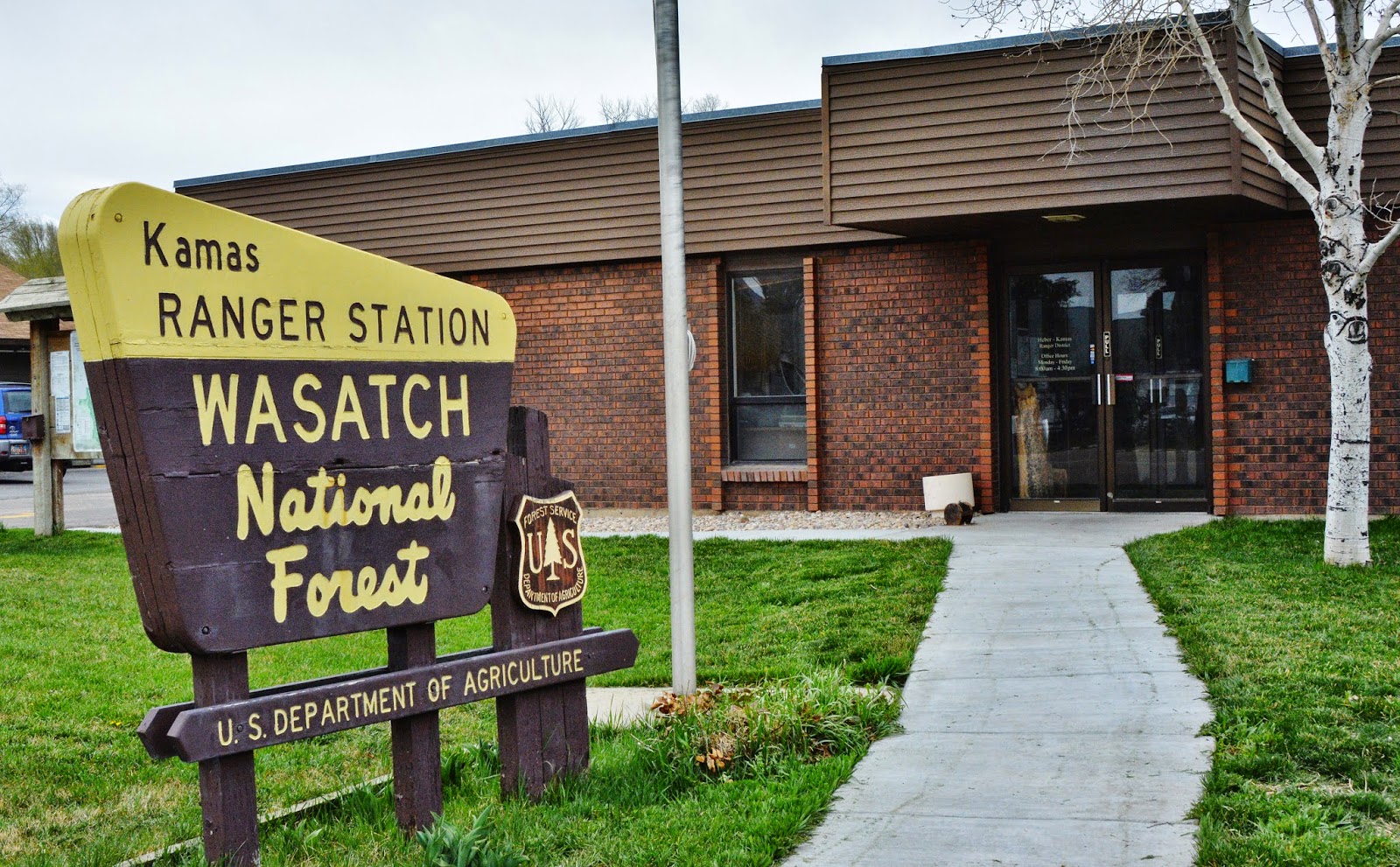
In Kamas I dropped by the Ranger Station to say hello, and was fortunate to find Genevieve Harmen, Wilderness Ranger, who I had met last year at Wilder Lake when on my way to PACKARD LAKE
I had to use capitals to honor my backpacking buddy TED PACKARD.
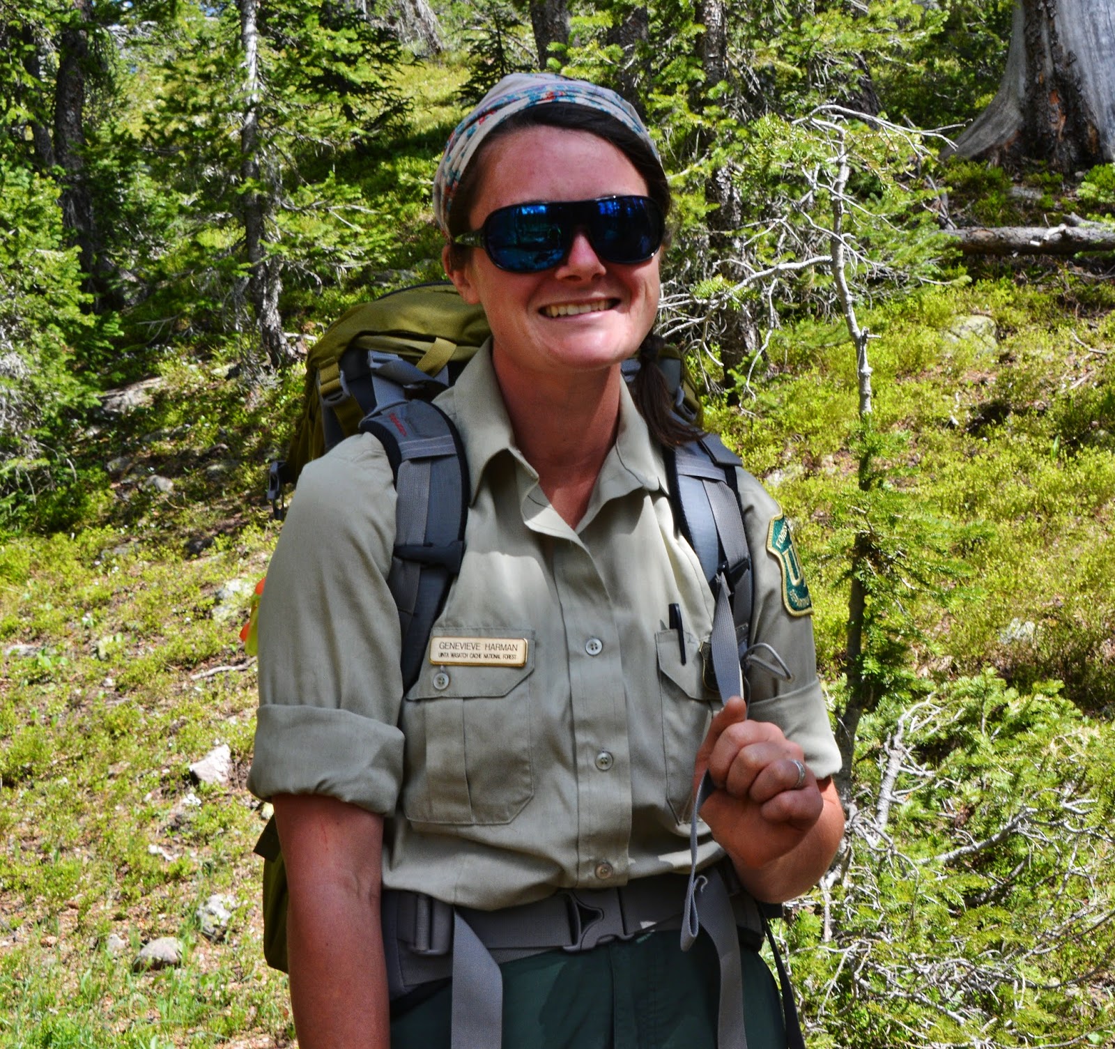
She I believe is from Oregon or Washington, and here to go to work in the Uintas….but like the rest of us, will have to wait and keep busy in the office for a while.
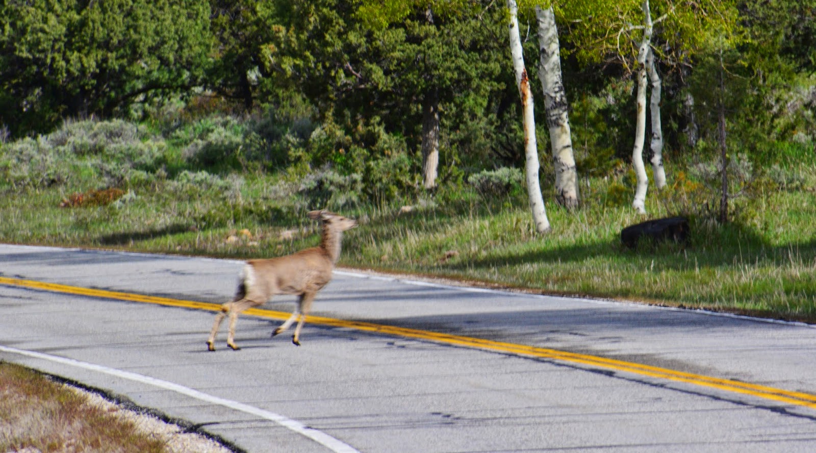
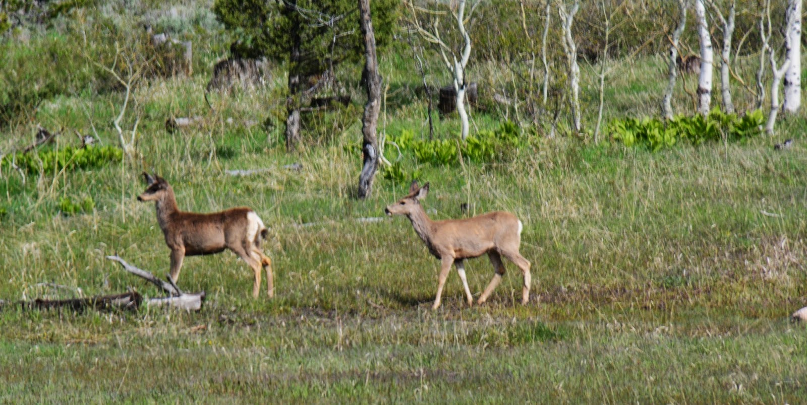
Drive carefully as deer, and even moose cross the highway. Driving slowly you’ll also see many beauties of nature those in a hurry miss. Night time is especially dangerous with deer and moose crossing the road.
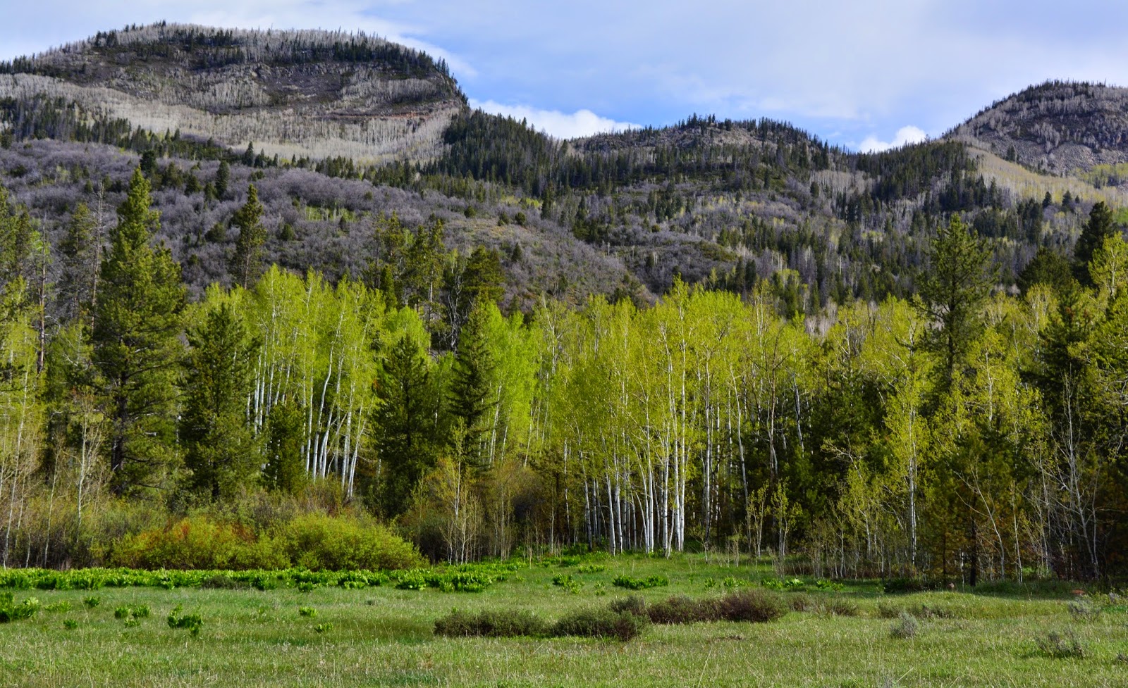
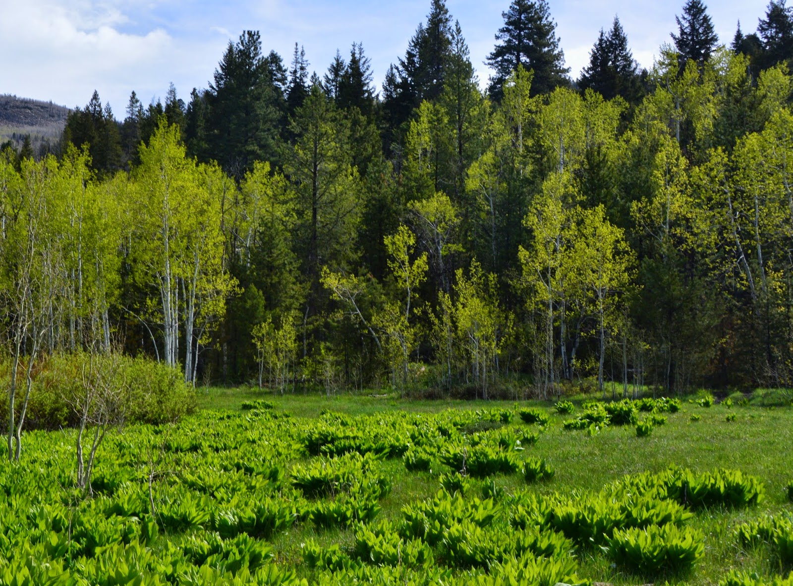
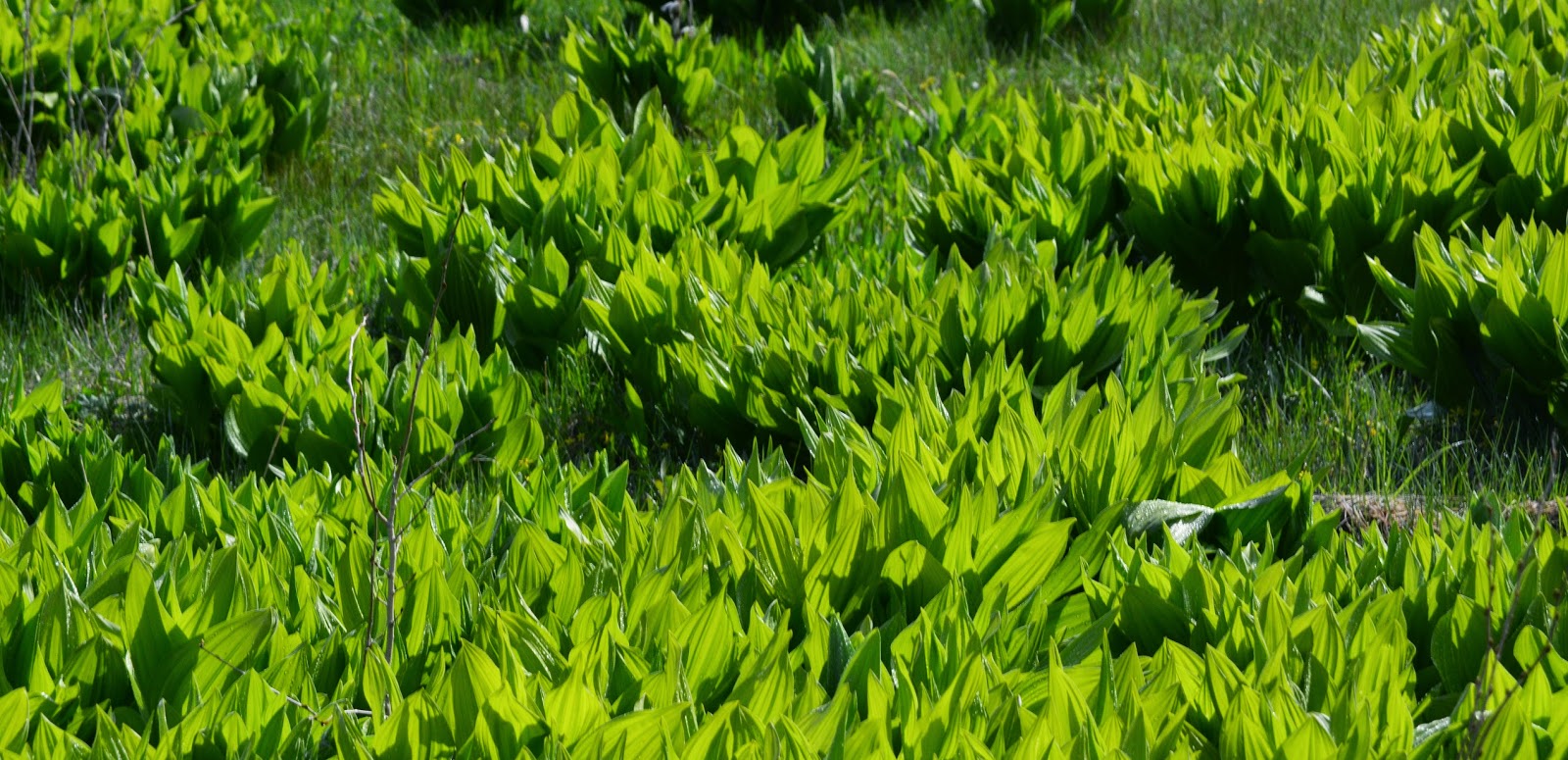
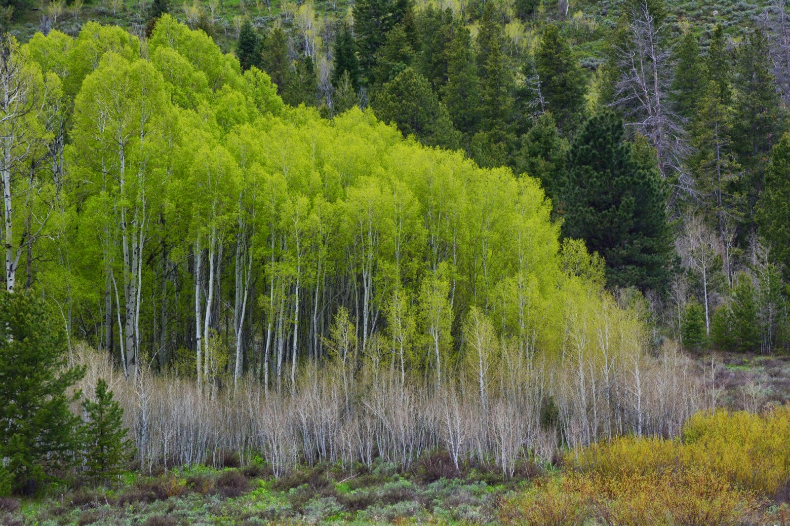
We are here between 8,000 and 9,000 feet, with nature coming alive.
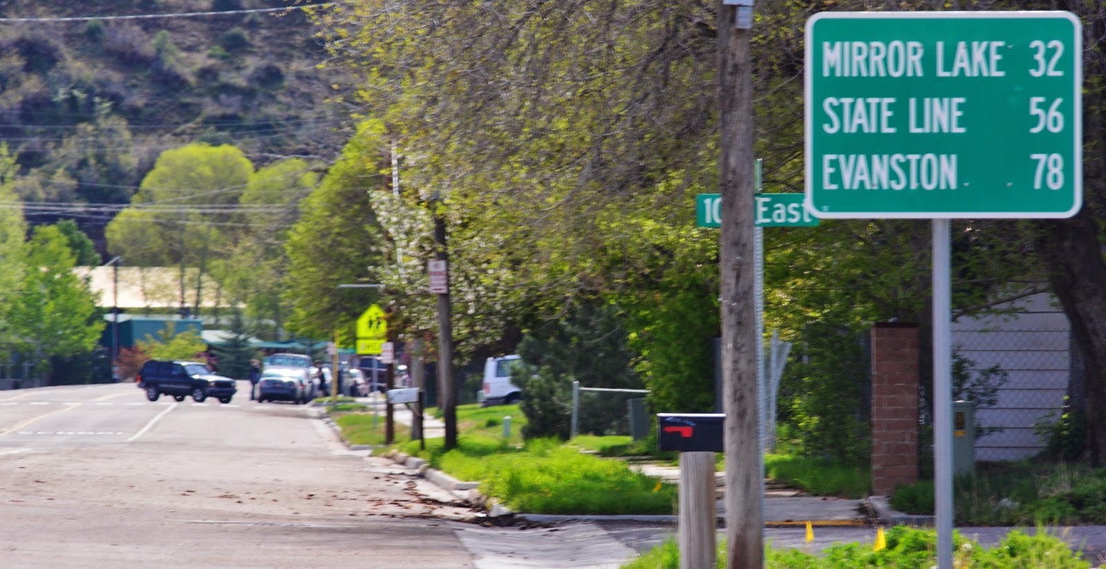
We are here about 20 miles from Kamas and at the point where snow blocked the highway in my previous report on April 6th.
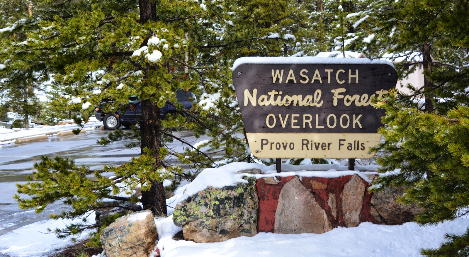
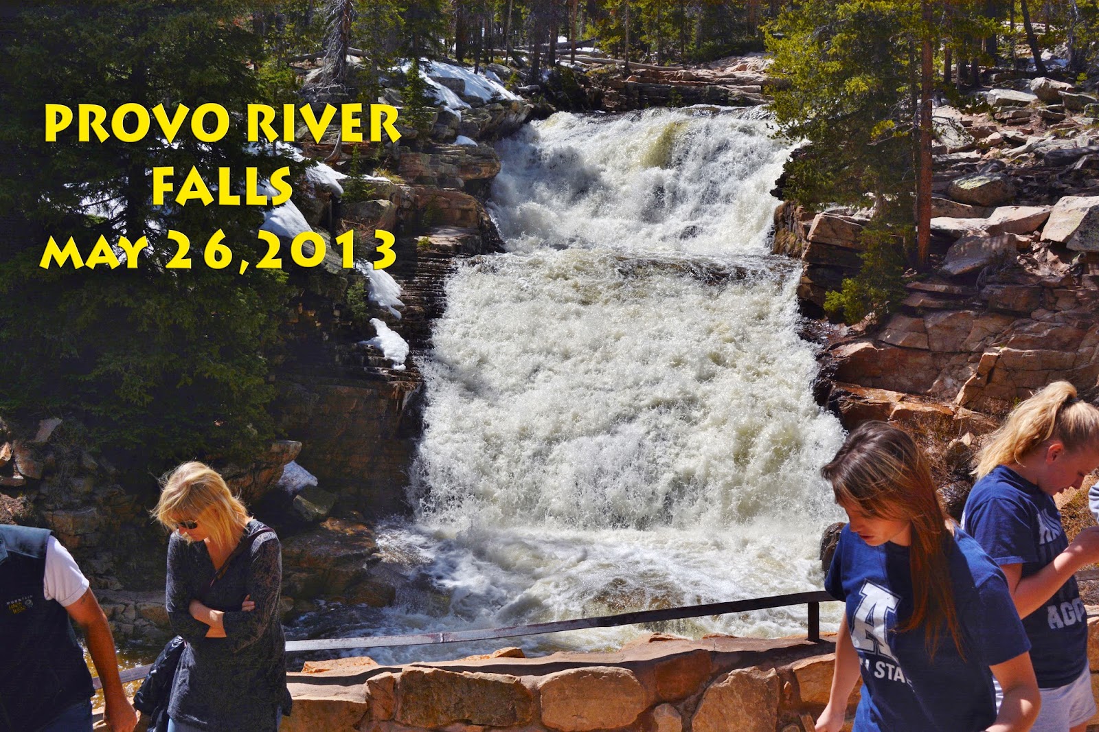
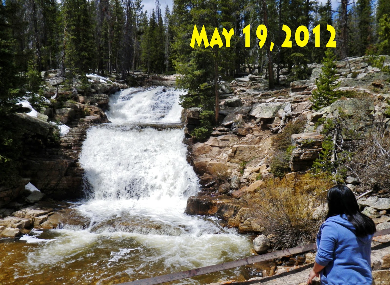
At about 24 miles from Kamas we come to the Provo River Falls, and stop for a picture to compare with river flow in past years.

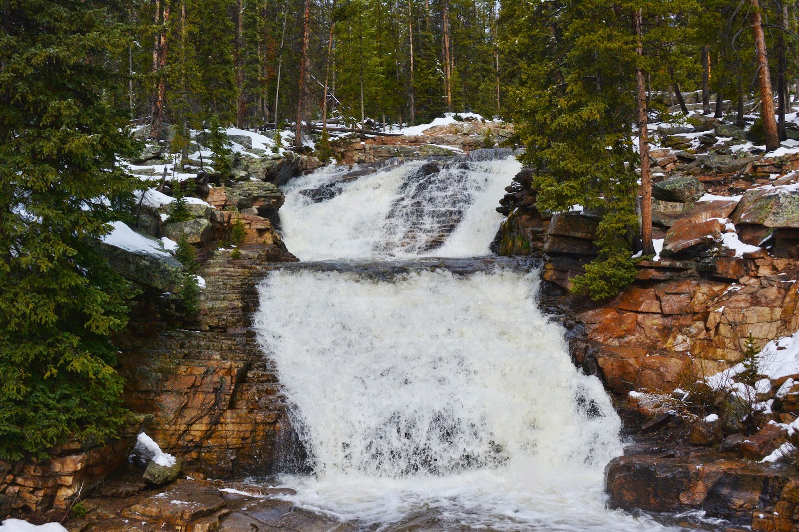
The river flow is way up from what it must have been on April 6th, and with the increased snow fall there will be more run-off than expected back in April.
I’ll insert a few shots from previous years for those interested in making comparisons.

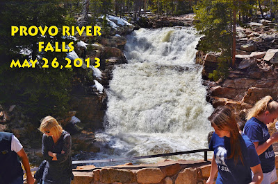
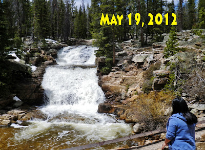
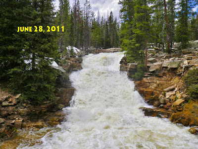
I’ll insert a few shots from previous years for those interested in making comparisons.


NOW BACK TO THE May 21st, 2015 TRIP
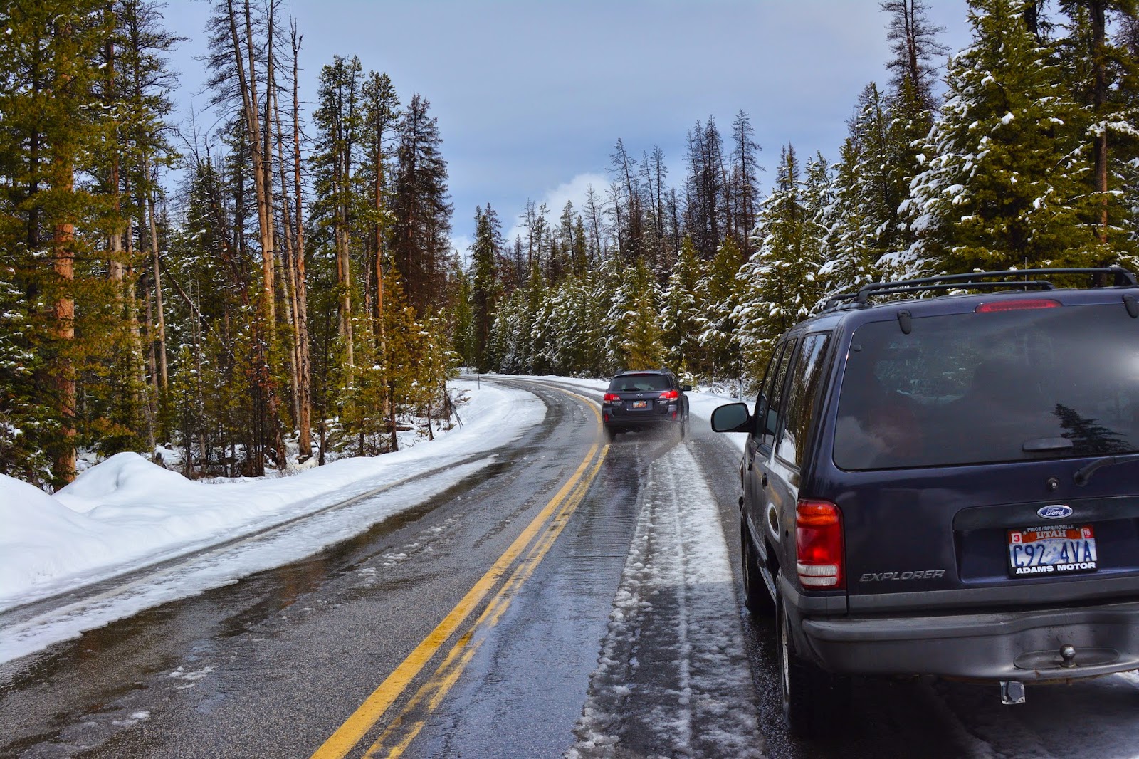
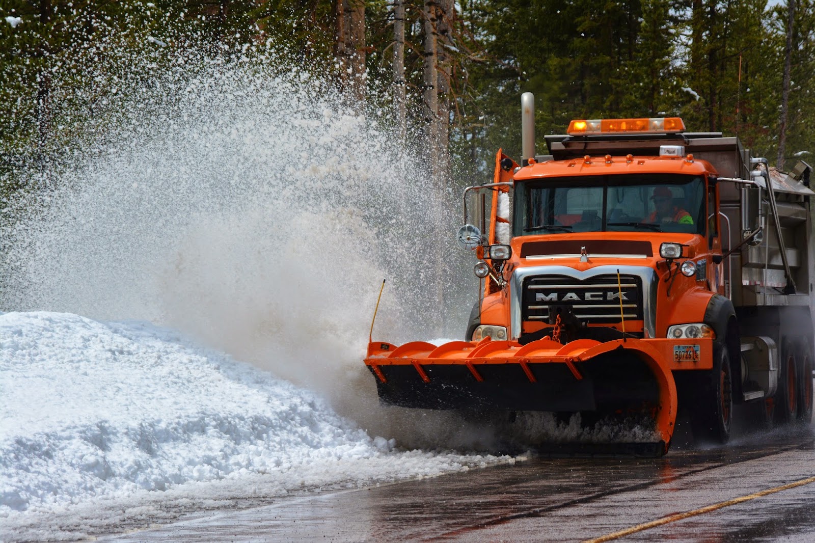
Up the highway a few miles I had to get out of the way of a snow plow that was cleaning up the edges, and then pulled in behind him to the pass.

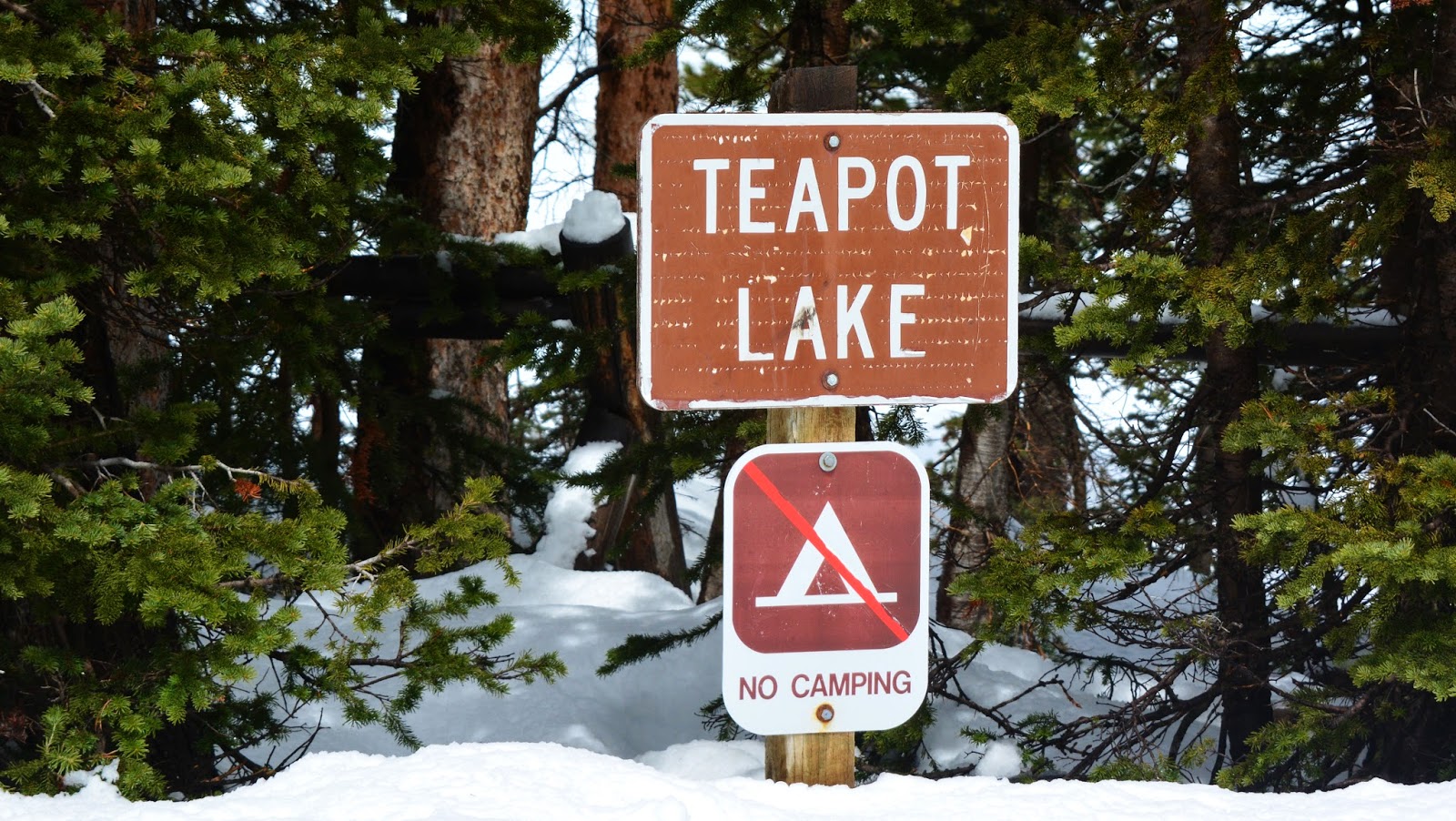
As you can see this first lake along the highway is still frozen over, but slushy.
We already went by the turn-off to the Trial Lake, and Crystal Lake Trailhead, still with slushy ice, but it won’t be long….depending on the weather.
We already went by the turn-off to the Trial Lake, and Crystal Lake Trailhead, still with slushy ice, but it won’t be long….depending on the weather.

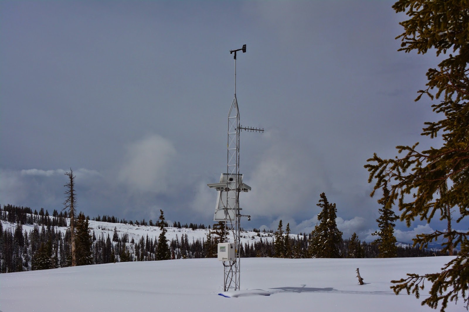
At Bald Mountain Pass we see the weather station that transmits daily the temperatures and snow depth…which I update on my website every day or every other day.
This morning, snow depth here was listed as 44.9 inches, with 6 inches of new snow, but by right now reported as 41.8 inches. You can compare this with snow depths at this spot in previous years–but at much later dates. From Kamas it was about 29 miles to the pass.

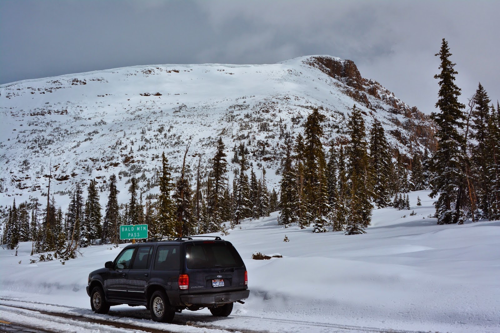
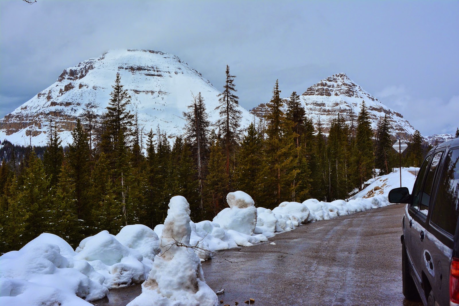
Once again I’ll insert photos from previous years, as close as possible to the date of this report, but usually it has never been open this early.

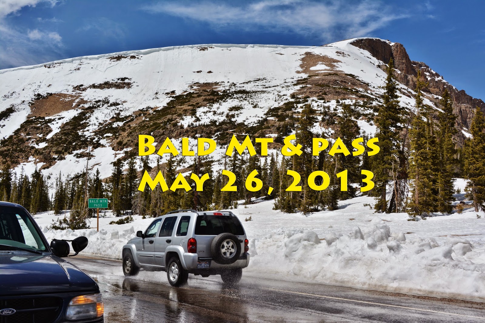
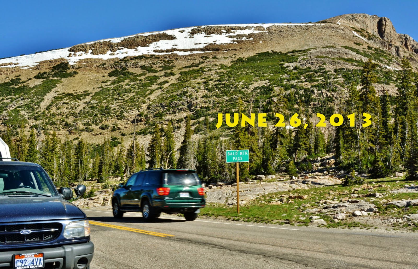
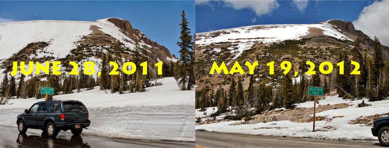
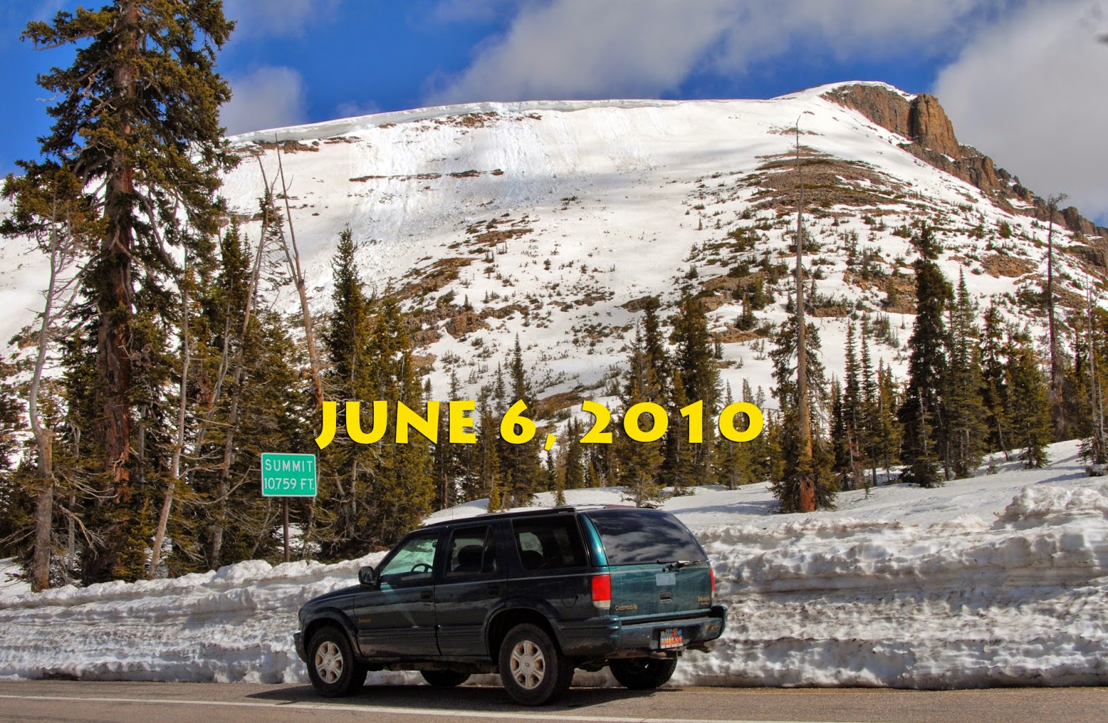
You’ve already noticed that it varies a lot, but usually they try and have the highway open for MEMORIAL DAY, which this year worked.
Now, back to May 21, 2015

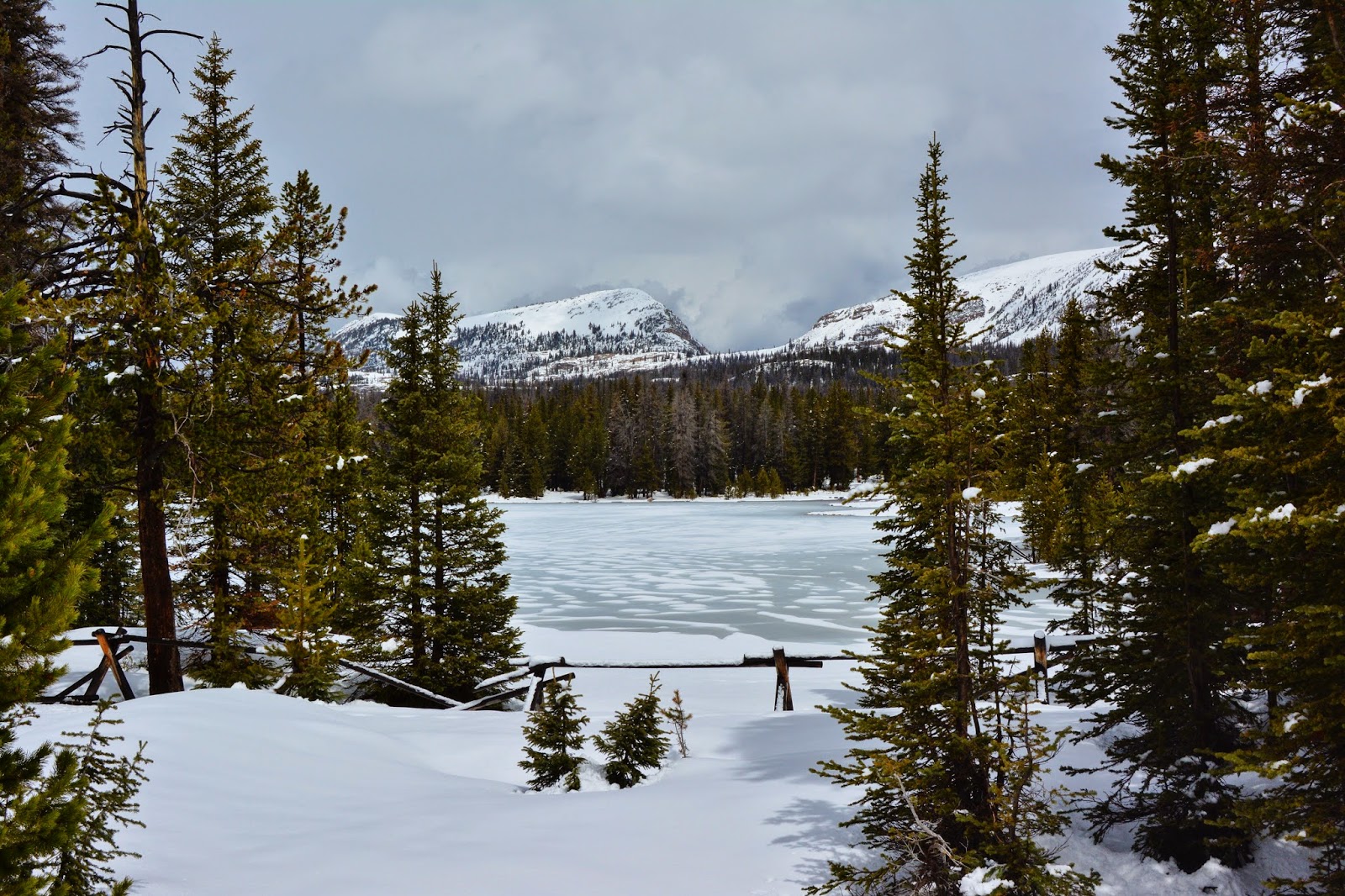
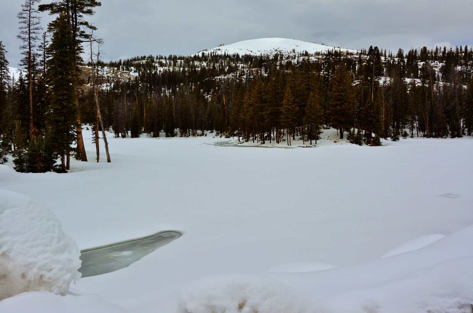
We are now heading down towards the entrance to Mirror Lake which is still frozen over. Mt. Agassiz and Hayden Peaks are hidden by clouds.
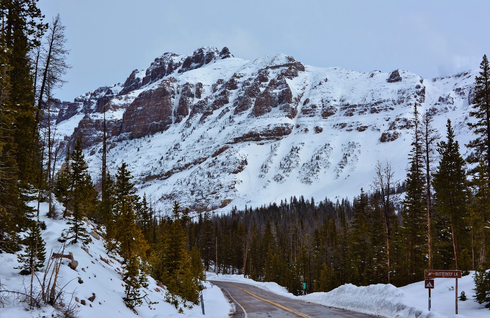
We now view Hayden Peak as we climb up to Hayden Pass and the entrance to the Highline Trailhead. Butterfly Lake is on the left.
Butterfly Lake
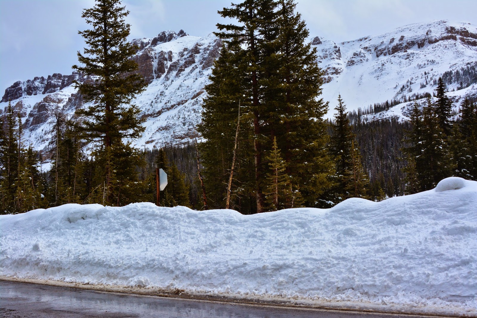
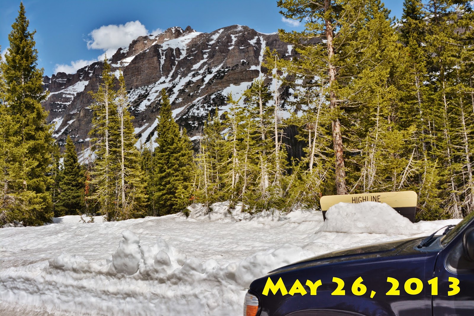
We see here the entrance to the famous HIGHLINE TRAILHEAD…..the sign is there somewhere, totally burried by snow. It will be a while before we can head down that trail!
Here’s just one shot from a previous year.
We have turned around to head back viewing here Mt. Baldy (officially, Bald Mountain), and Reids Peak.
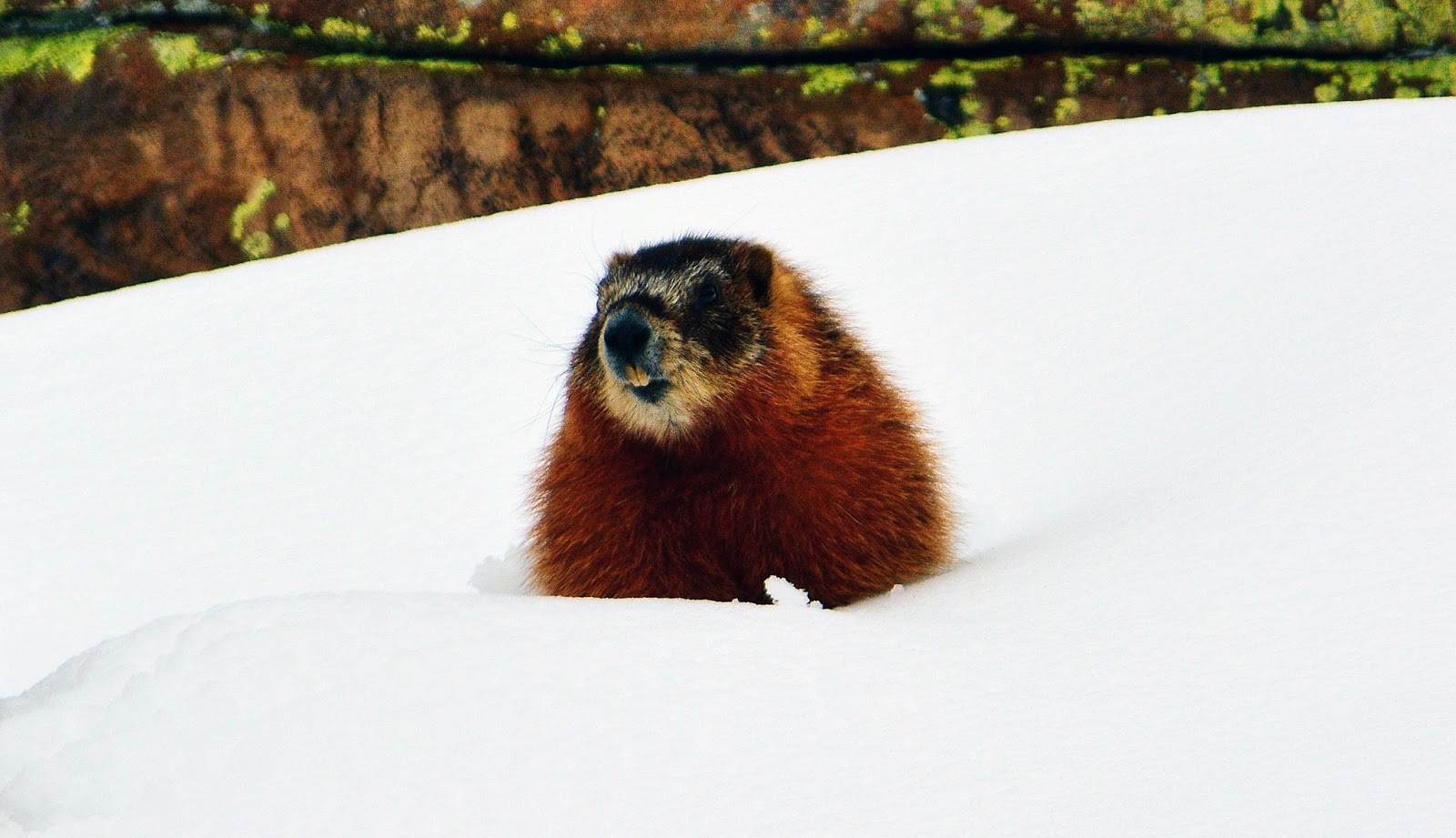
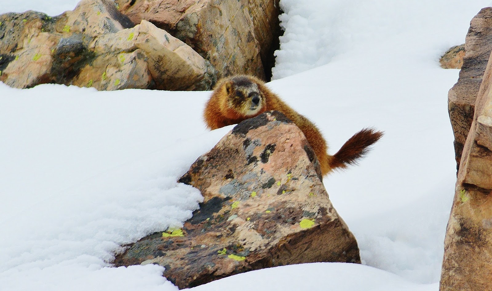
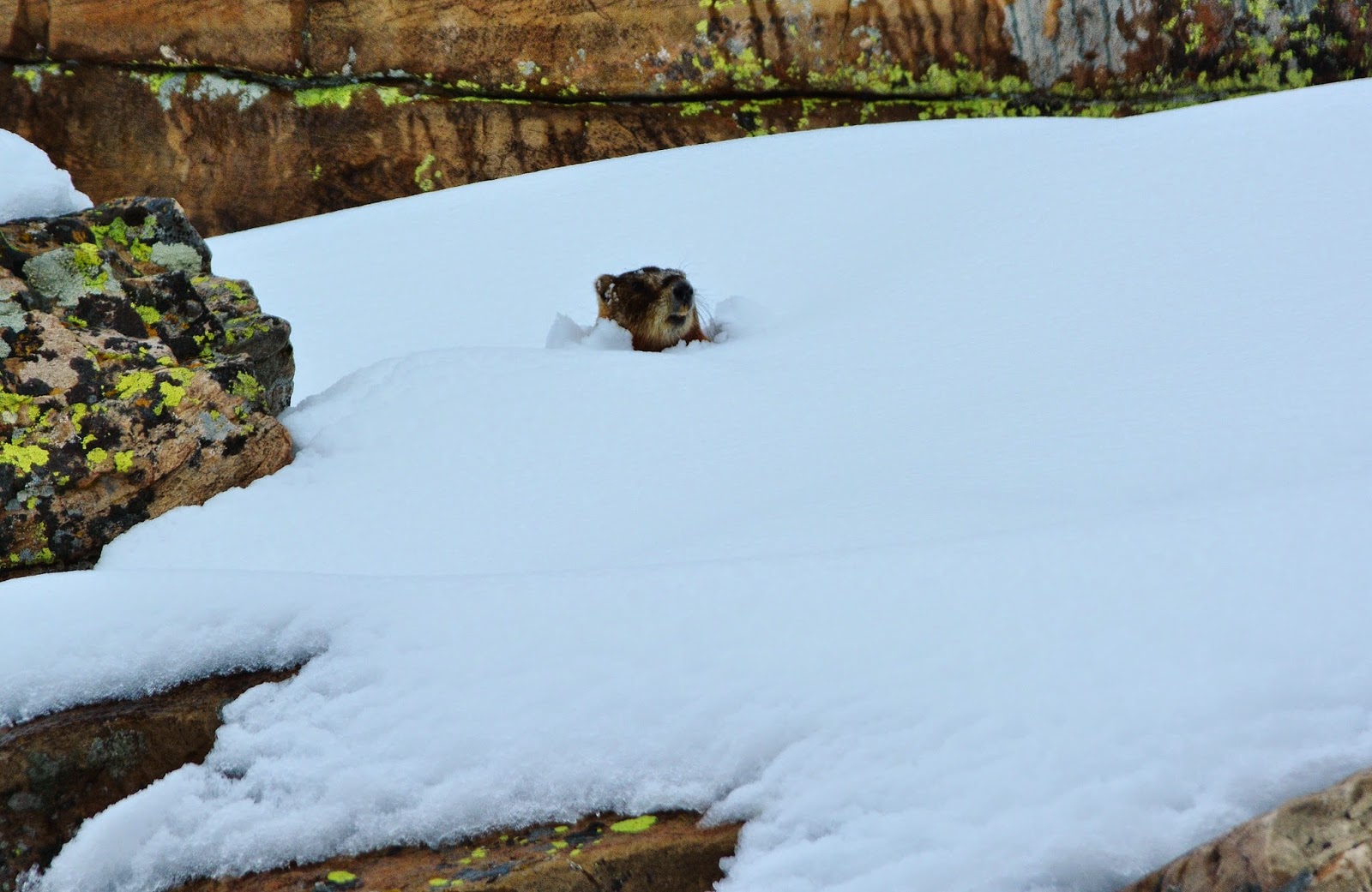
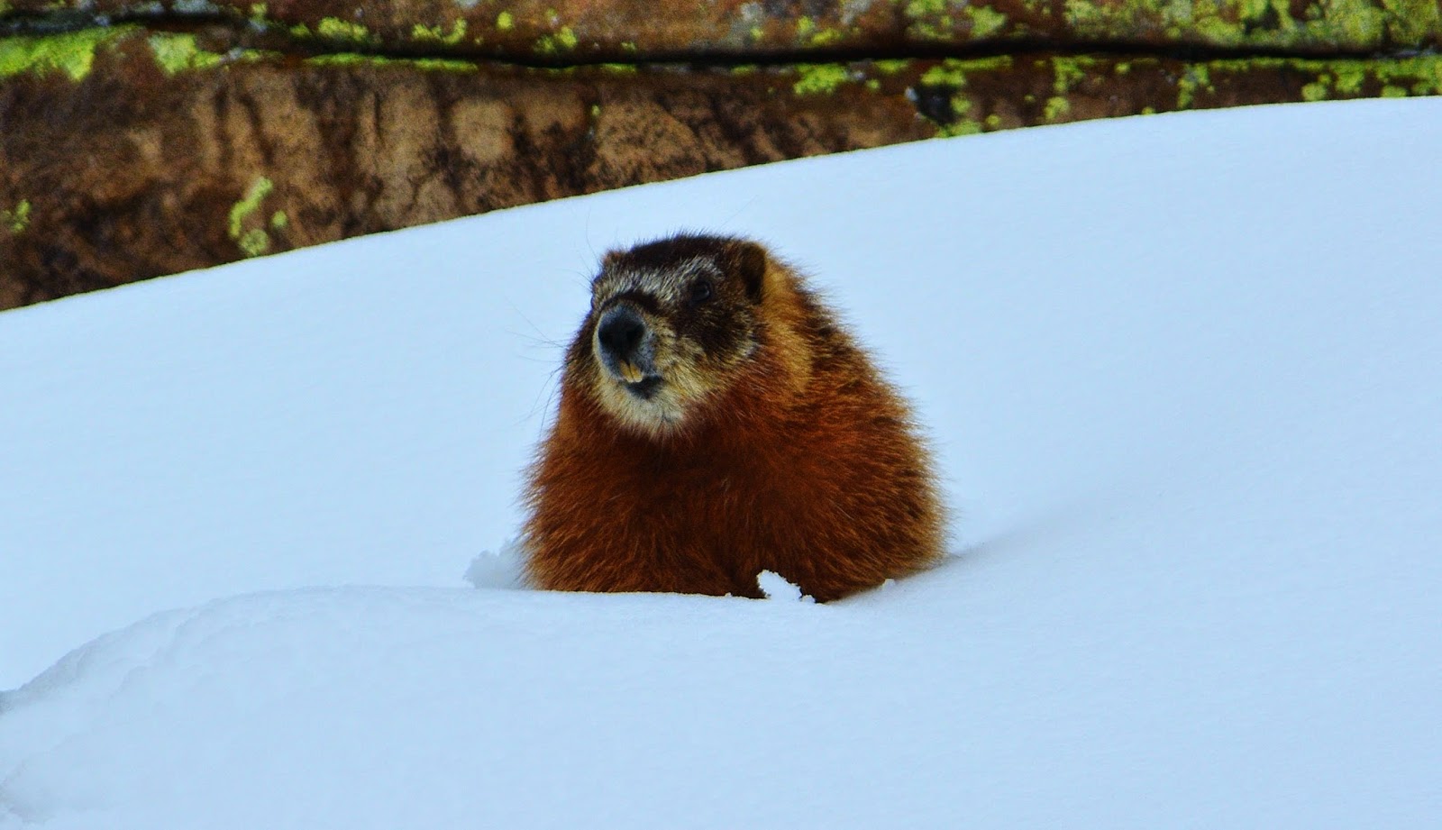
Ahead I could see a medium sized animal crossing the highway and was climbing up a snowy slope to get into the rocks. Of course I screeched to a halt! Turned the motor, and radio off and waited with camera ready. All of a sudden a head popped up through the snow.
Ahead I could see a medium sized animal crossing the highway and was climbing up a snowy slope to get into the rocks. Of course I screeched to a halt! Turned the motor, and radio off and waited with camera ready. All of a sudden a head popped up through the snow.

With a little patience, he finally exposed himself. It was a beautiful Yellow Bellied Marmot, out of his hibernation, likely due to the winter that was quickly disappearing back in April.


I was going to continue my photography, but all of a sudden a snow plow roared up behind me and I moved quick, heading on down the highway.
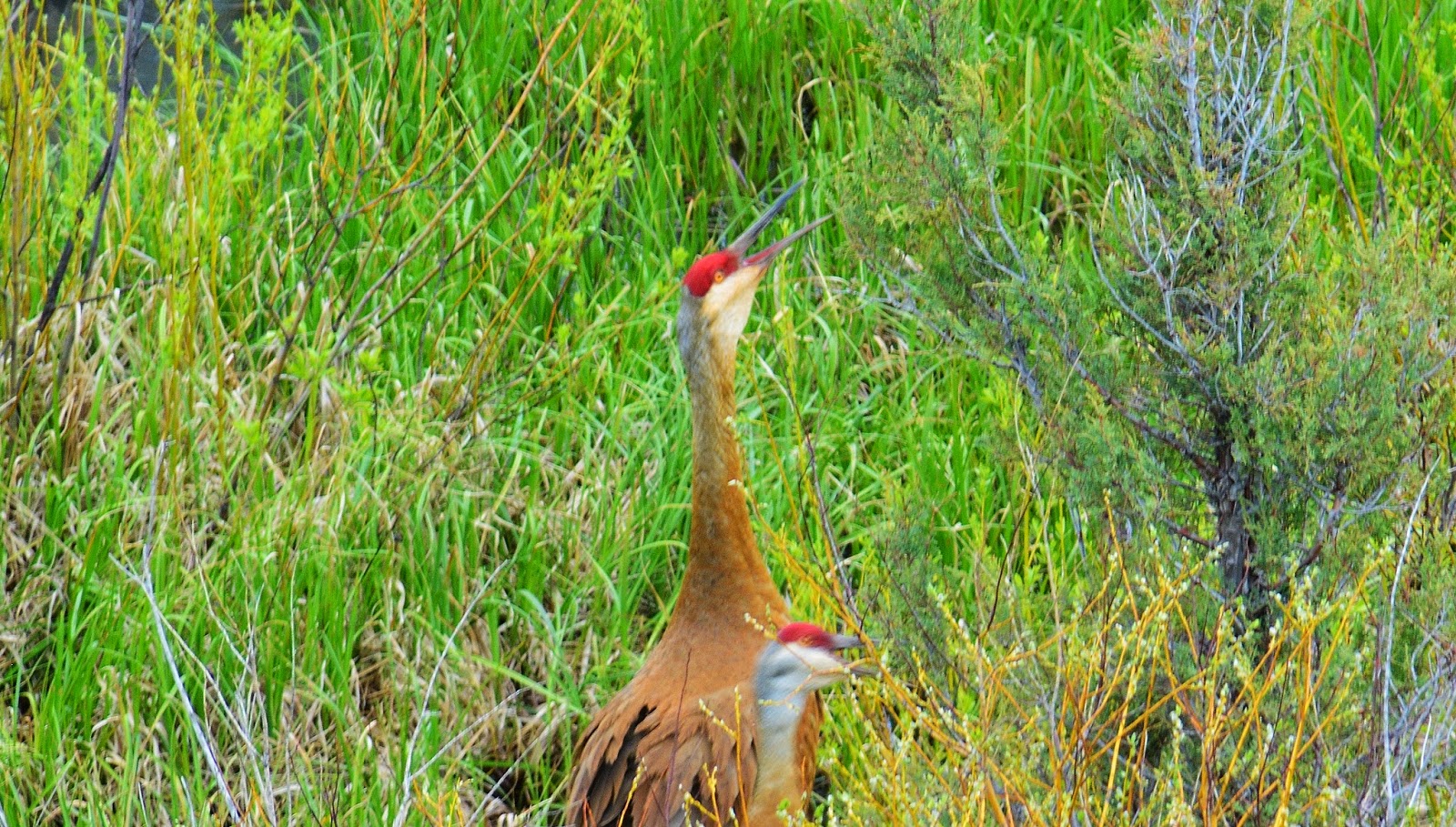
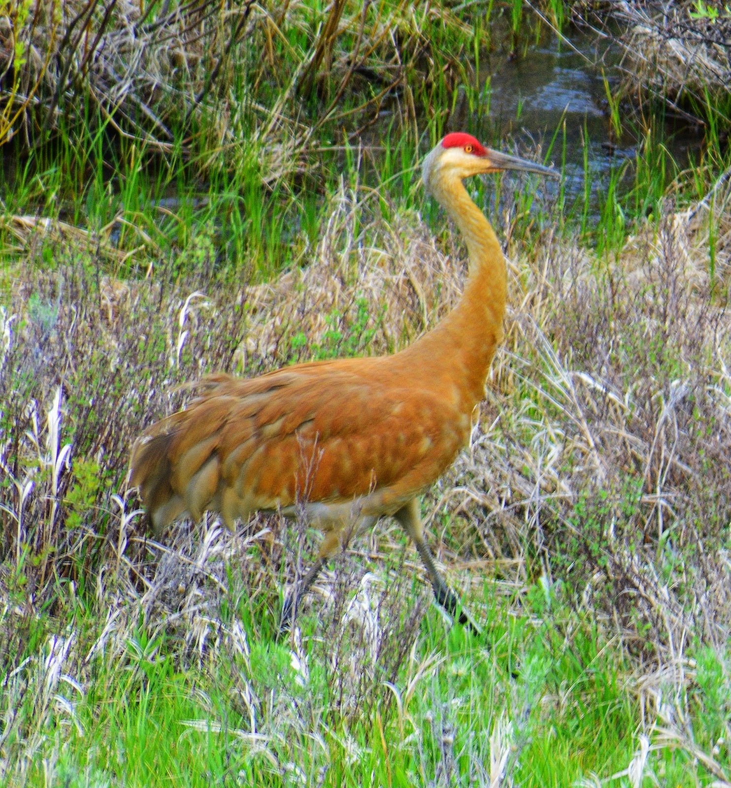
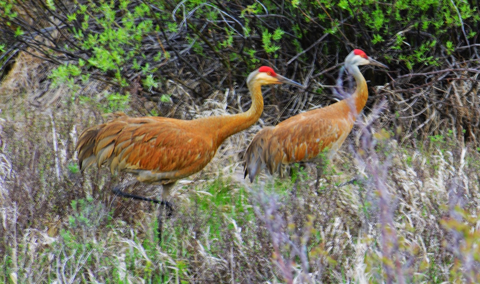
Down in the lower country I stopped for a bit of lunch at a point where there are many beaver dams, hoping to get some shots of these incredible “engineers of the mammal world,” but rather all of a sudden heard a loud squawking…..
….and got a few shots of a couple of beautiful Sand hill Cranes.
Of course, I’m itching for the backpack season to start…and while we need the snow/rain/water that has come lately…I’m still asking my friends,
WHERE’S THE “GLOBAL WARMING” WHEN WE NEED IT?
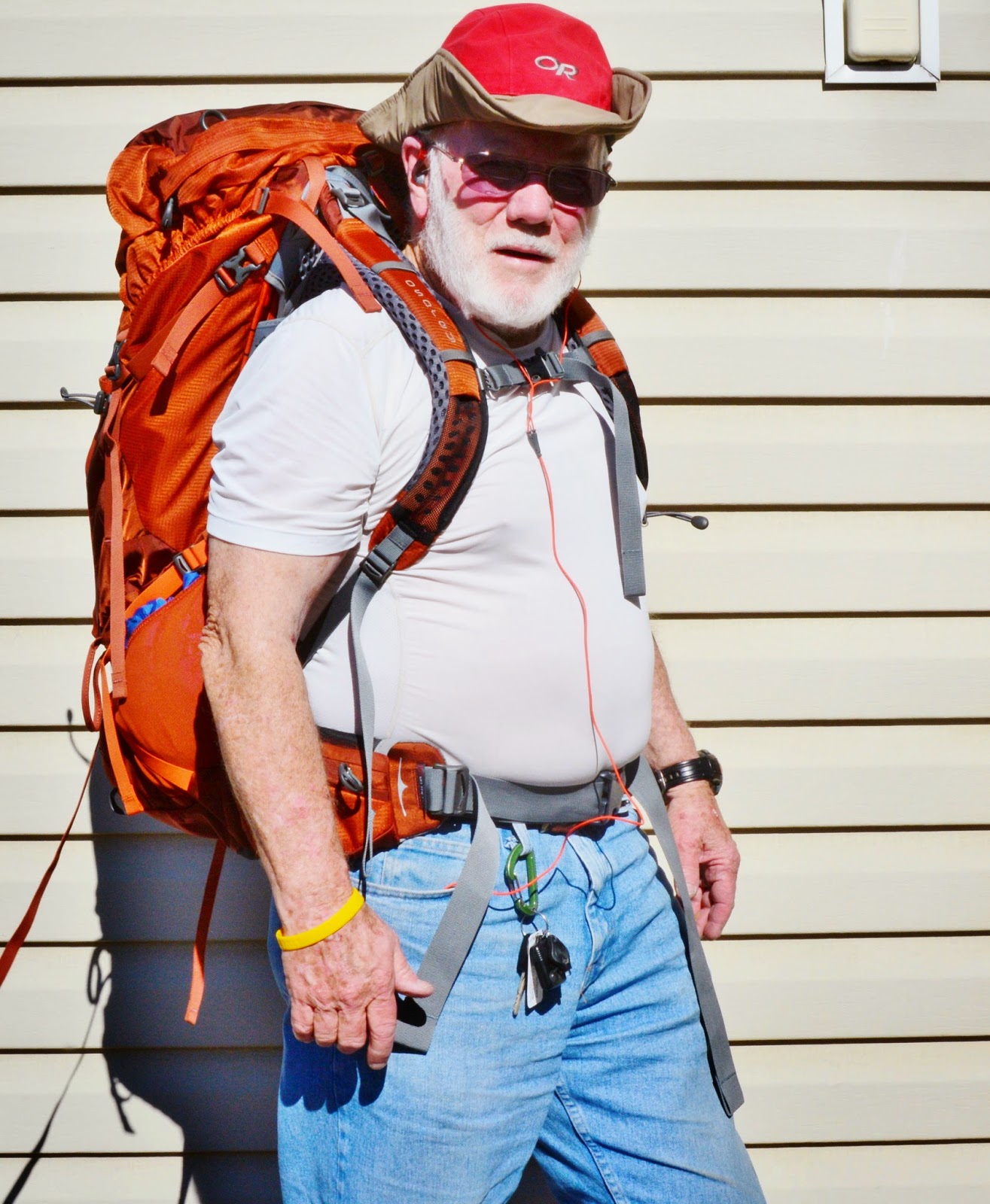
I’m raring to go with my brand new, revolutionary OSPREY ATMOS 65 backpack with a suspension system that is incredible they are calling “anti-gravity” and it really does feel almost weightless as it wraps around your back with even contact everywhere, total ventilation, and doesn’t even feel like it’s there!
Looks kind of lumpy, as it only has in it my basic pack equipment: Sleeping quilt, air mattress, tent, poncho, rain parka, gravity water purification system, cooking items & fire making stuff, including new lightweight stove, SPOT Tracker, & fishing equipment, only coming to 15 lbs.
Still have to add my sat phone, emergency & toiletries bag, extra clothes, food and water…..
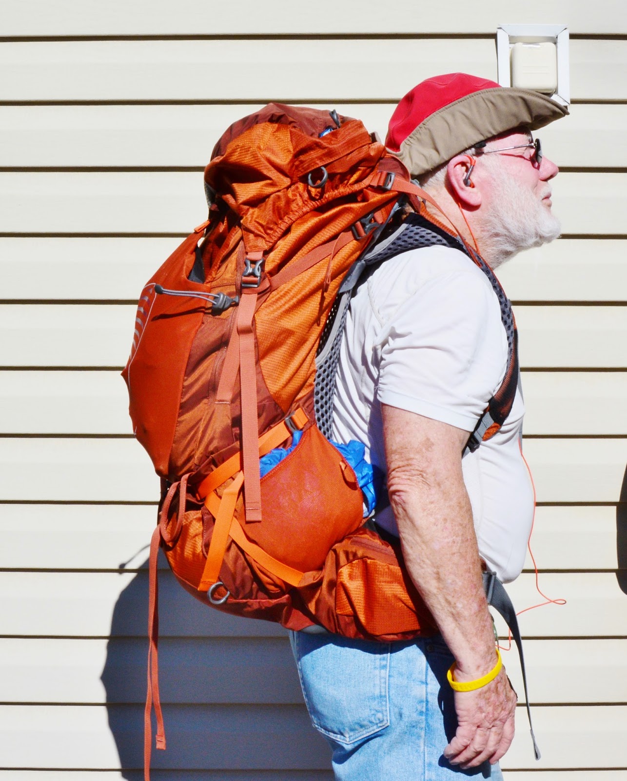
…….and oh, I almost forgot, my new photography waist pack fully loaded that weighs 11 pounds!!! That includes my tripod that weighs more than my tent, and special wide angle lens that weighs as much as sleeping quilt & air mattress combined! Maybe for my longer backpacks…. I’ll have to get serious and just go with my tiny waterproof point and shoot camera that weighs less than my SPOT Tracker.
Next week I’ll update my GEAR/SUPPLEMENT section with all the new stuff, as well as my ANTI-AGING article and links to all the stuff that keeps me going in my 80th year.
Still have to add my sat phone, emergency & toiletries bag, extra clothes, food and water…..
…….and oh, I almost forgot, my new photography waist pack fully loaded that weighs 11 pounds!!! That includes my tripod that weighs more than my tent, and special wide angle lens that weighs as much as sleeping quilt & air mattress combined! Maybe for my longer backpacks…. I’ll have to get serious and just go with my tiny waterproof point and shoot camera that weighs less than my SPOT Tracker.
Next week I’ll update my GEAR/SUPPLEMENT section with all the new stuff, as well as my ANTI-AGING article and links to all the stuff that keeps me going in my 80th year.
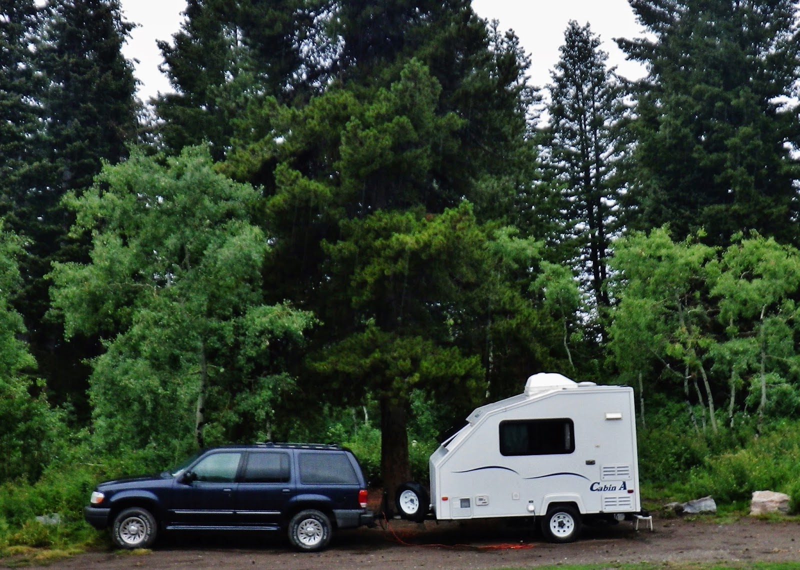
So, I’m ready to go, but not by June 4-11th as originally scheduled. Rather by those dates will pull my trailer up to camp out on Bald Mountain Pass to acclimatize myself, and then hopefully by mid-June be on the trail with my buddy Ted Packard.
Like a young friend I met on the trail with the Moesinger Family a few years ago,
“YOU DON’T GROW OLD AND STOP BACKPACKING, rather STOP BACKPACKING AND GROW OLD….QUICKLY!”
So, I have no intention of stopping of my own free will…but will keep at it and NEVER GROW OLD! (ha, ha, ha, everybody laughing!), but like I have said,


