YouTube Video #5-2013 Part 1-TIE HACKS: Unsung American Heroes
YouTube Video #5-2013 Part 2–TIE HACKS: Unsung American Heroes
Includes new discovery on Hilliard Flume

A Deep Dive Into The Uintah Wilderness
YouTube Video #5-2013 Part 2–TIE HACKS: Unsung American Heroes
Includes new discovery on Hilliard Flume
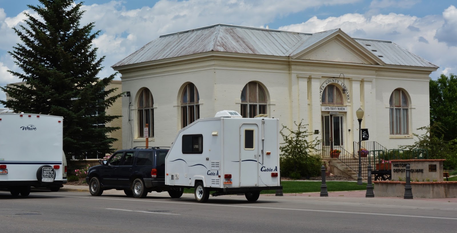
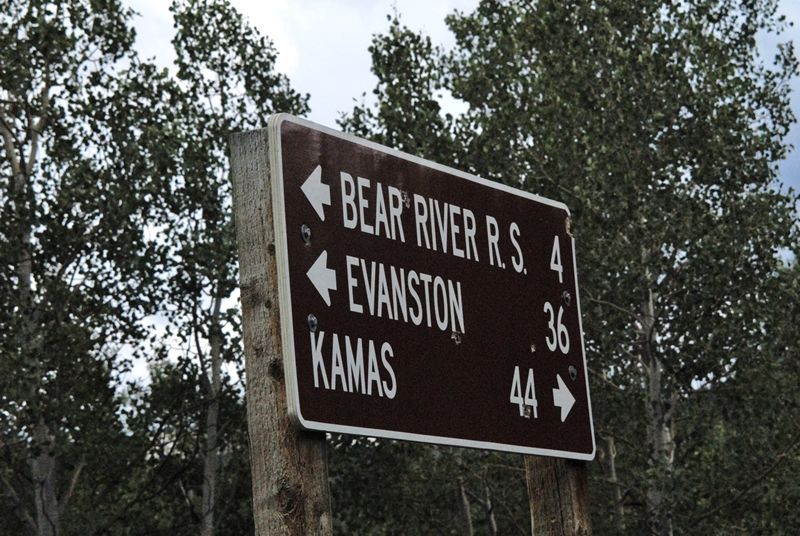
On Thursday, August 1st, at NOON I will be speaking at the monthly meeting of the Wyoming Historical Society at the County Museum in Evanston on:
“The TIE HACKERS: Unsung American Heroes without whom the West might not have been won!”
Then do research at Dubois, Lonetree, Burntfork, the Site of the 1st Mountain Man Rendezvous on the High Uinta’s Henrys Fk., then on to Manila and to the South Slope of the High Uintas in Vernal and the Uinta Basin.
Click here if you want to follow me…Spot Tracker Trail
Thankfully I withstood the “ACID TEST” and had one great backpack in the High Uintas Wilderness, now having explored all the drainages. In my mind I did it in honor of the Utah Pioneers–for July 24th, and especially my great-grandmother, Alice Brooks (Andersen), survivor of the Martin Handcart Company. As it worked out it was this incredibly faithful and courageous 21 year old, and companions, who inspired me, in my 78th year, to
“NOT GIVE IN,” rather pass the test and finally make it to CROW BASIN.
This “historic YouTube video” is the CORRECTED, IMPROVED and ENHANCED version.


.jpg)


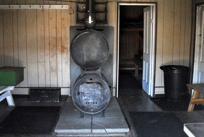
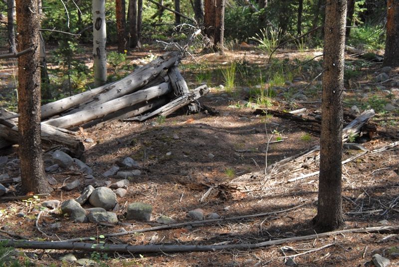
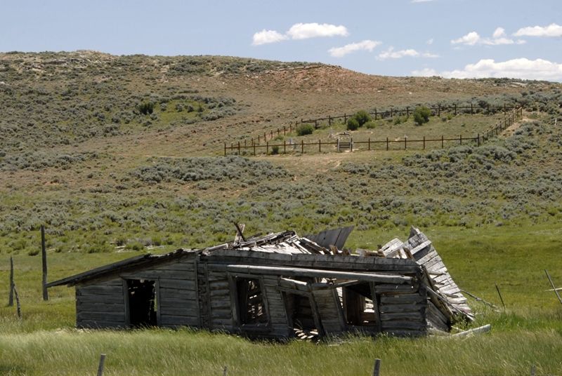
Neither was there any evidence of a fireplace –characteristic of the early period. Cabins from the late period usually had wood burning stoves.


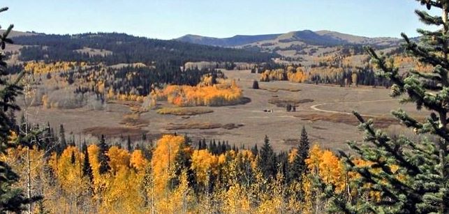
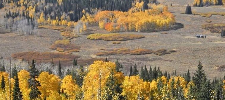
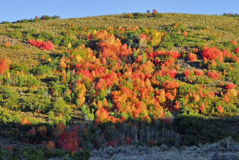
It was an exhilarating drive up into the Uintas with the incredibly beautiful autumn colors.

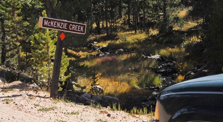
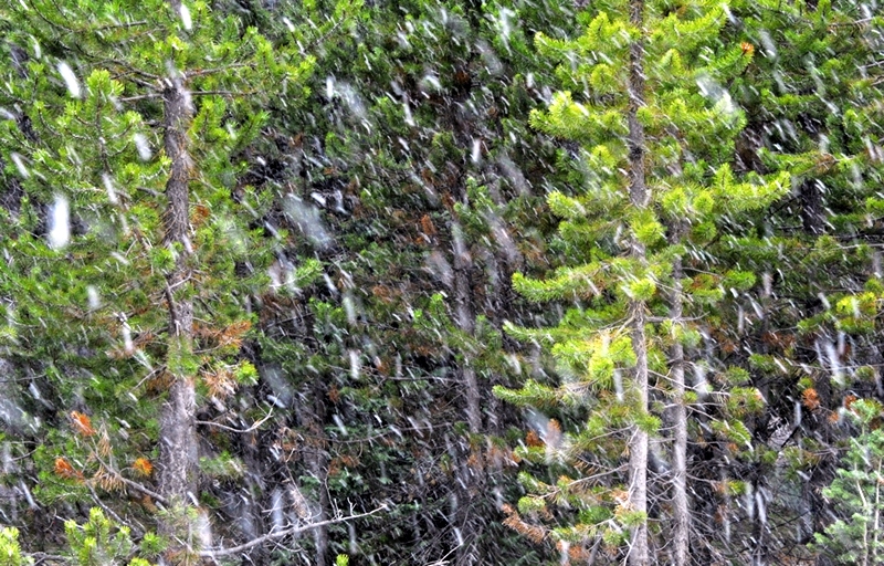
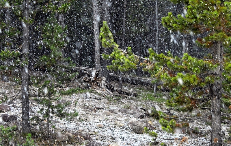
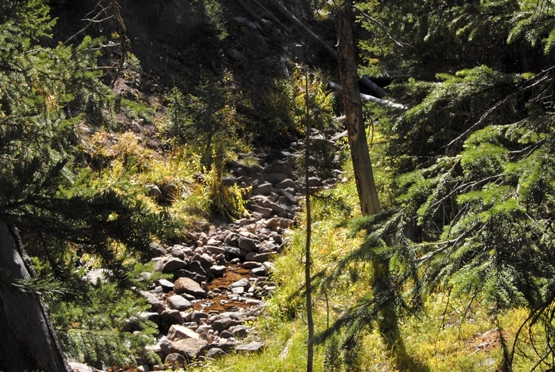
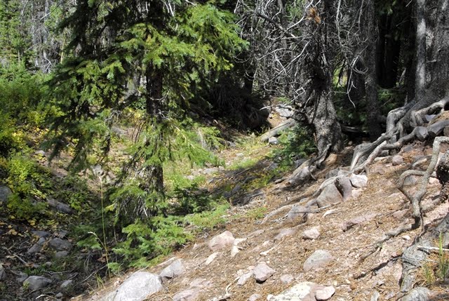
Snow was in the air by the time I got to the right road, just past the McKenzie Creek sign, and came to the creek crossing.
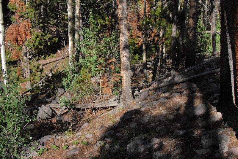
On the far side of the crossing could be seen a wood structure from the tie hacker period as found on the previous trip on another creek.
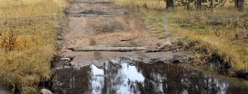

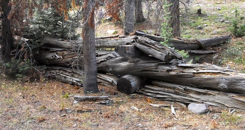
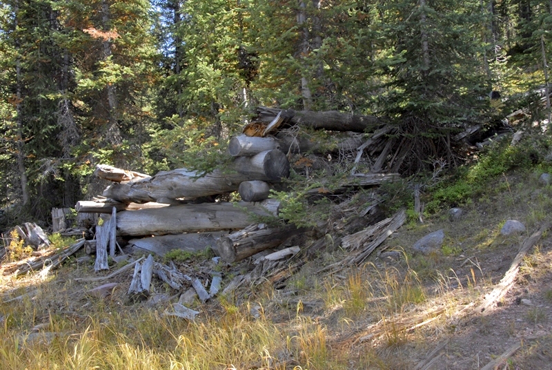
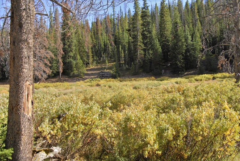
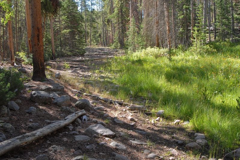
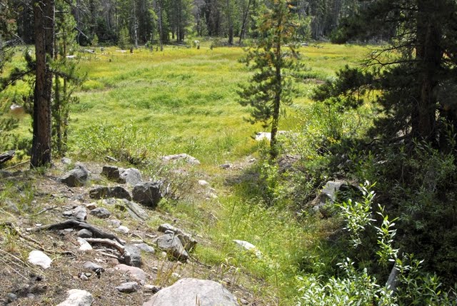
The creek was beginning to freeze. A short distance up the road I came to the Compound.

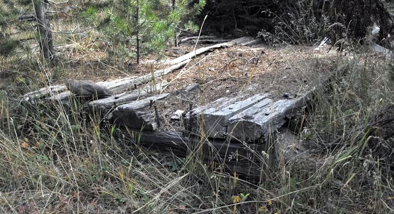
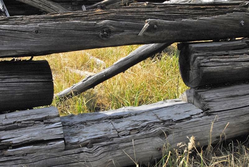
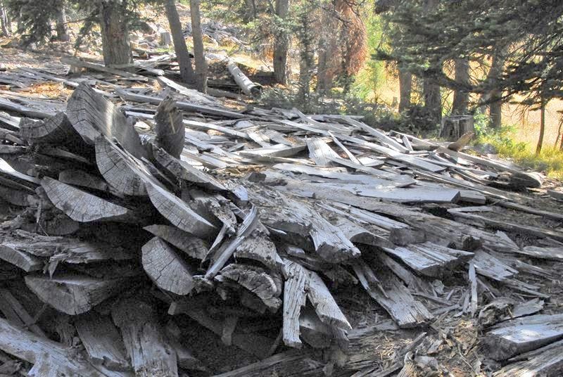
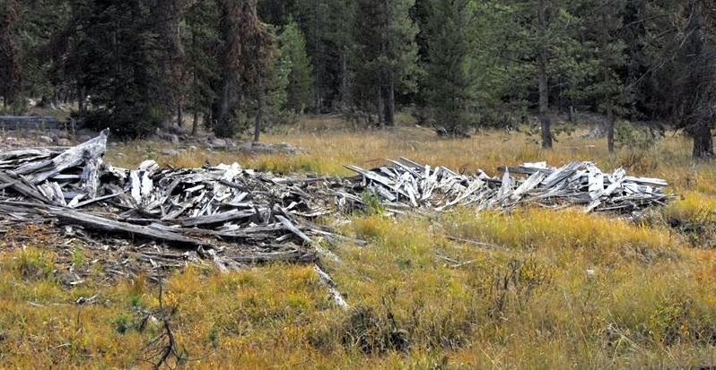
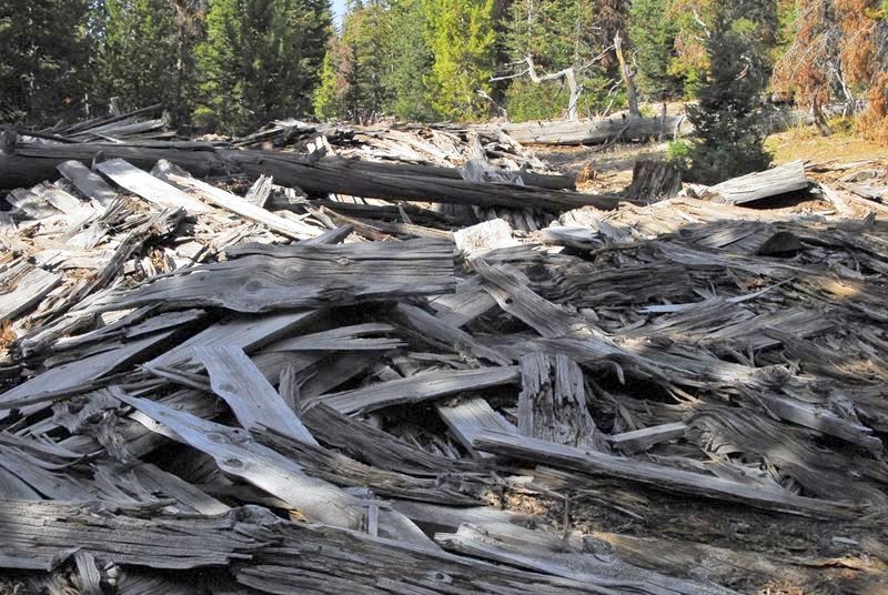
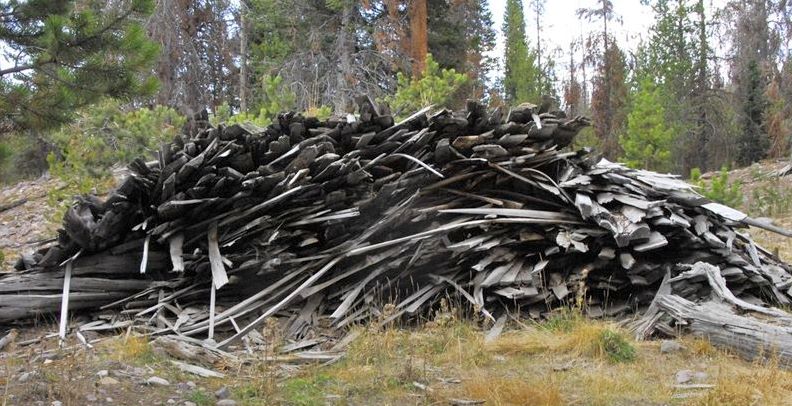
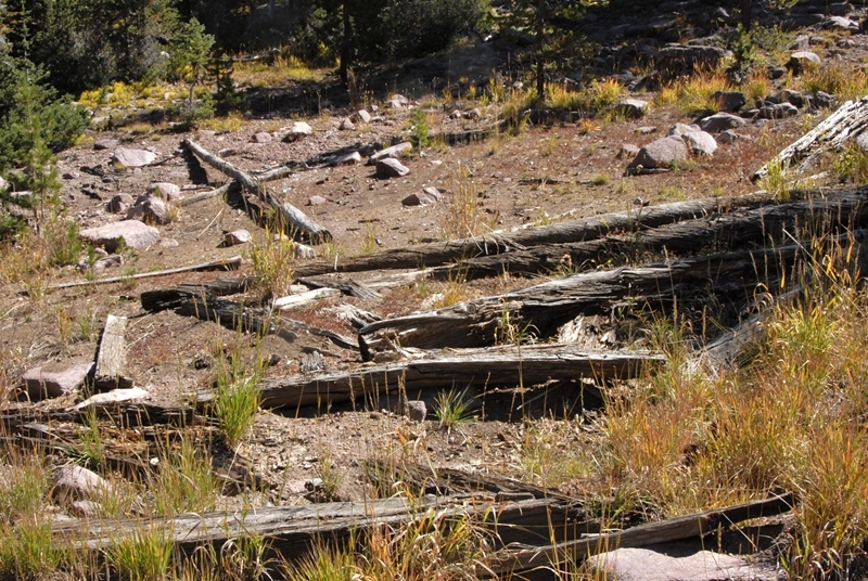
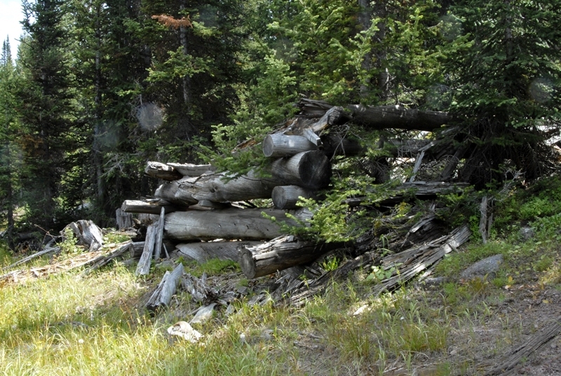
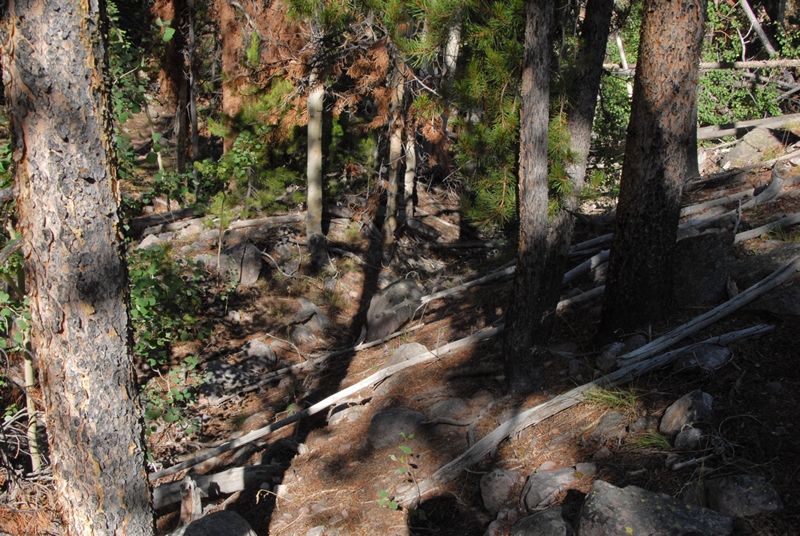
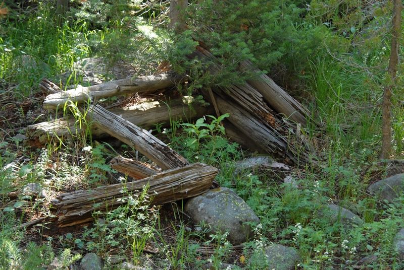
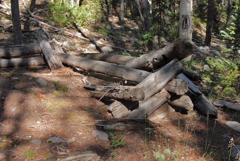
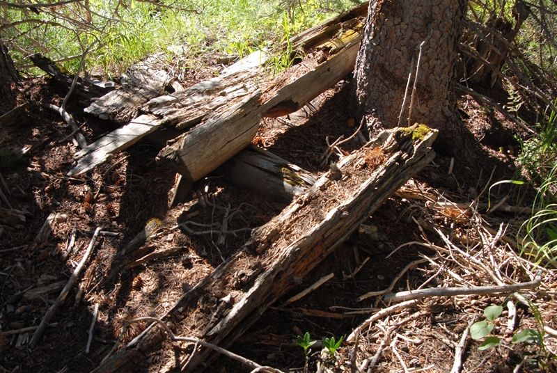
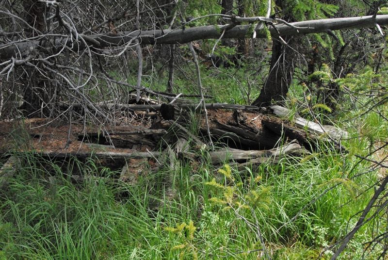
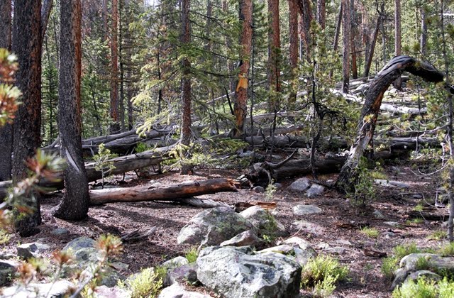
Some of the ruins were very deteriorated as seen here.

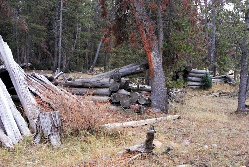
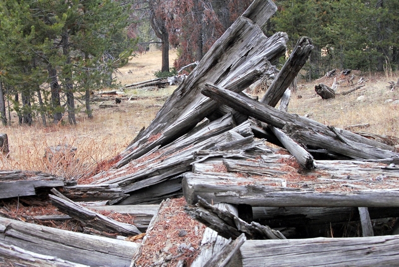
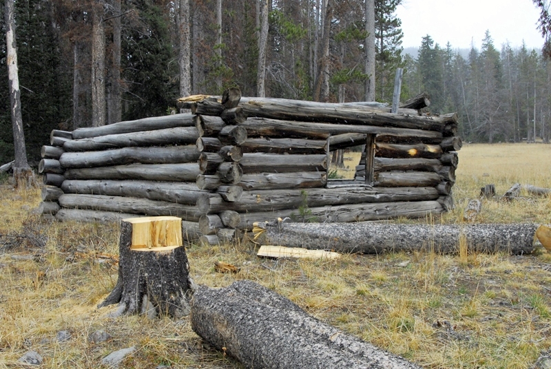
To understand what this was I had to go around to the other side.
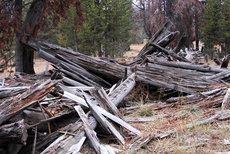
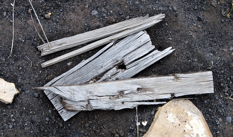
We are seeing here the ridge pole (log), with the roof slabs piled on both sides.

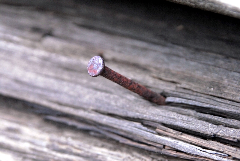
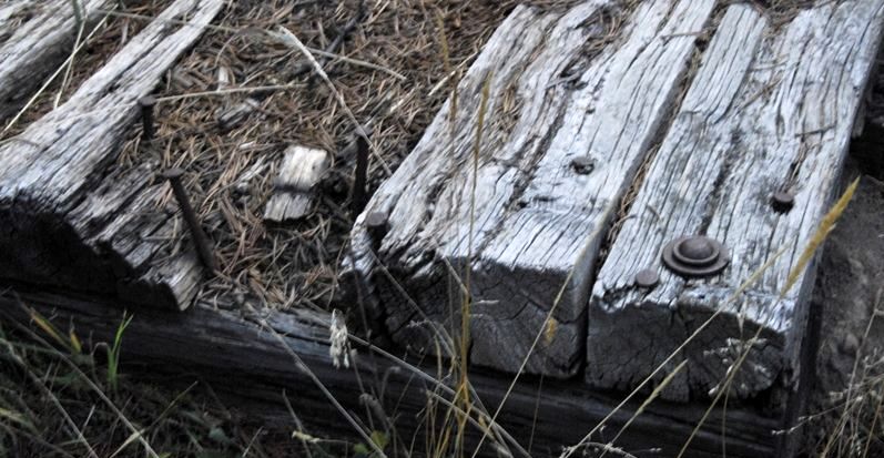
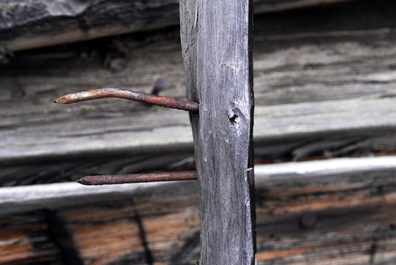
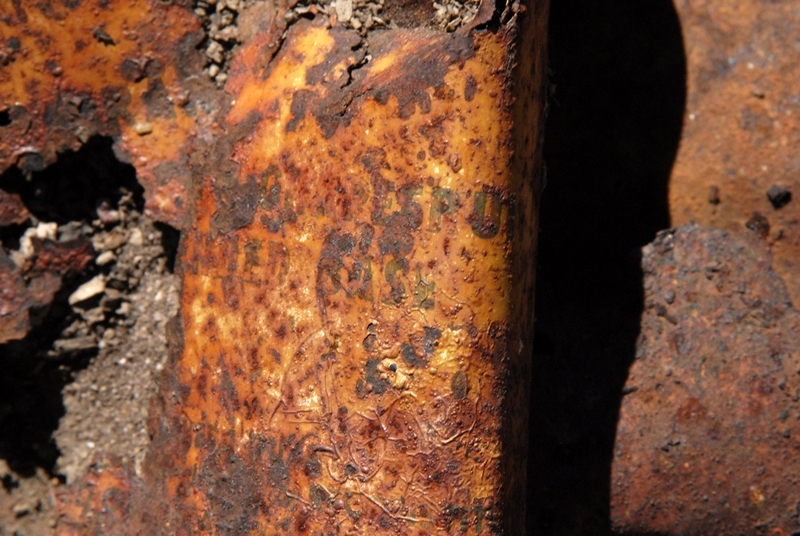
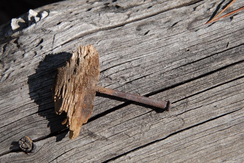
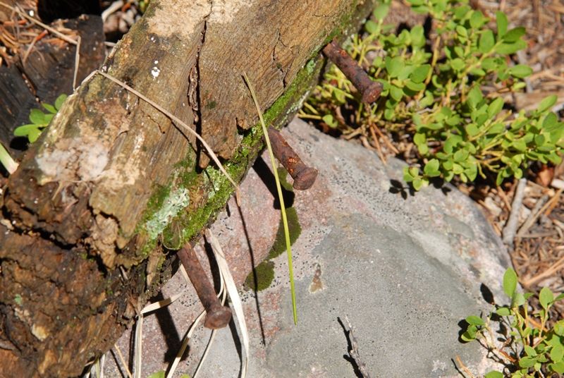
Round wire nails help us pin this site down to the 1912-1935 tie hacker period.
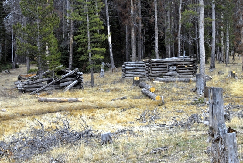
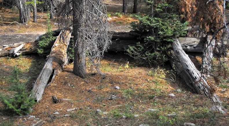
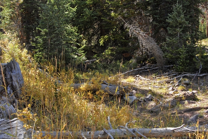
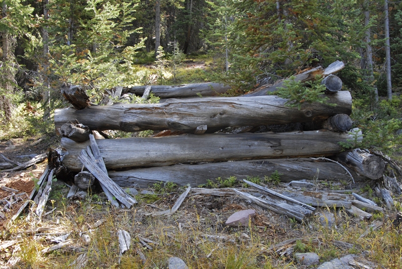
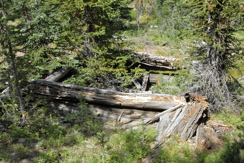
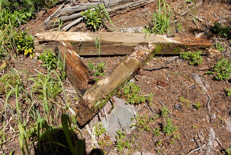
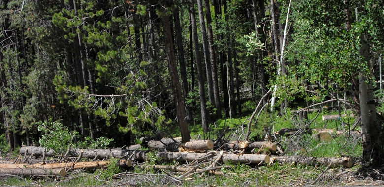
There were a couple of better preserved cabins. As you can see the logging operations very visible in the High Uintas this year are also seen here in the McKenzie Creek area.


Then winter came and I decided to move out and get back up over Bald Mt. Pass before it got snowed in.
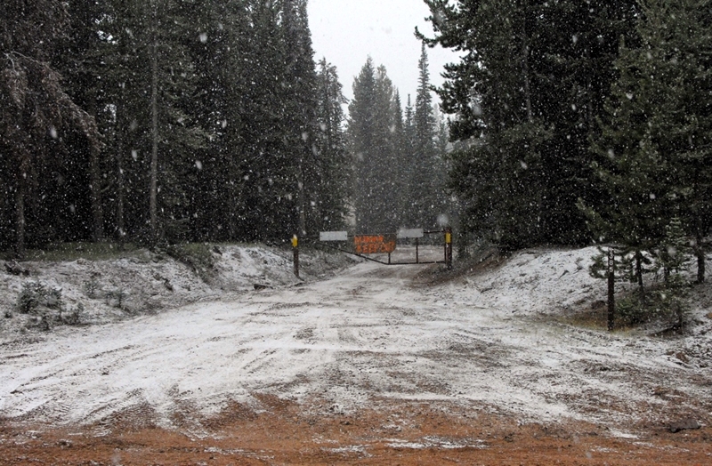
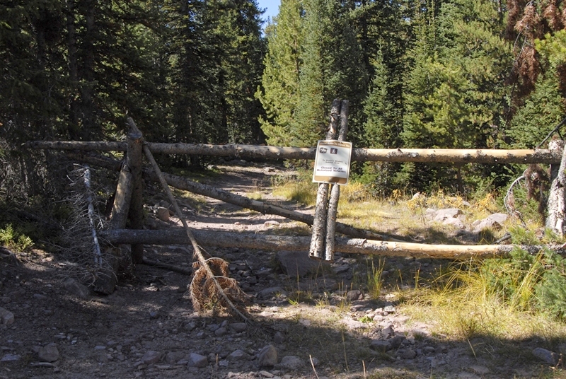
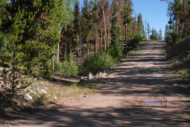
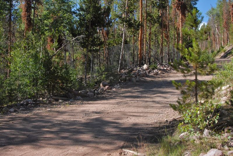
After you come out of the tie hacker road and head west past the Creek crossing you come to this gated road.
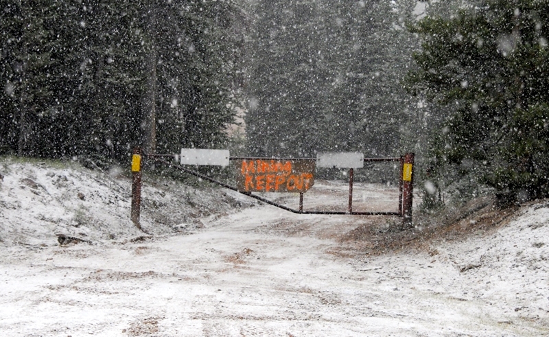
This is a mining operation on private land.

Soon I was up to Bald Mountain Pass and photographed a sign that somehow I have missed.


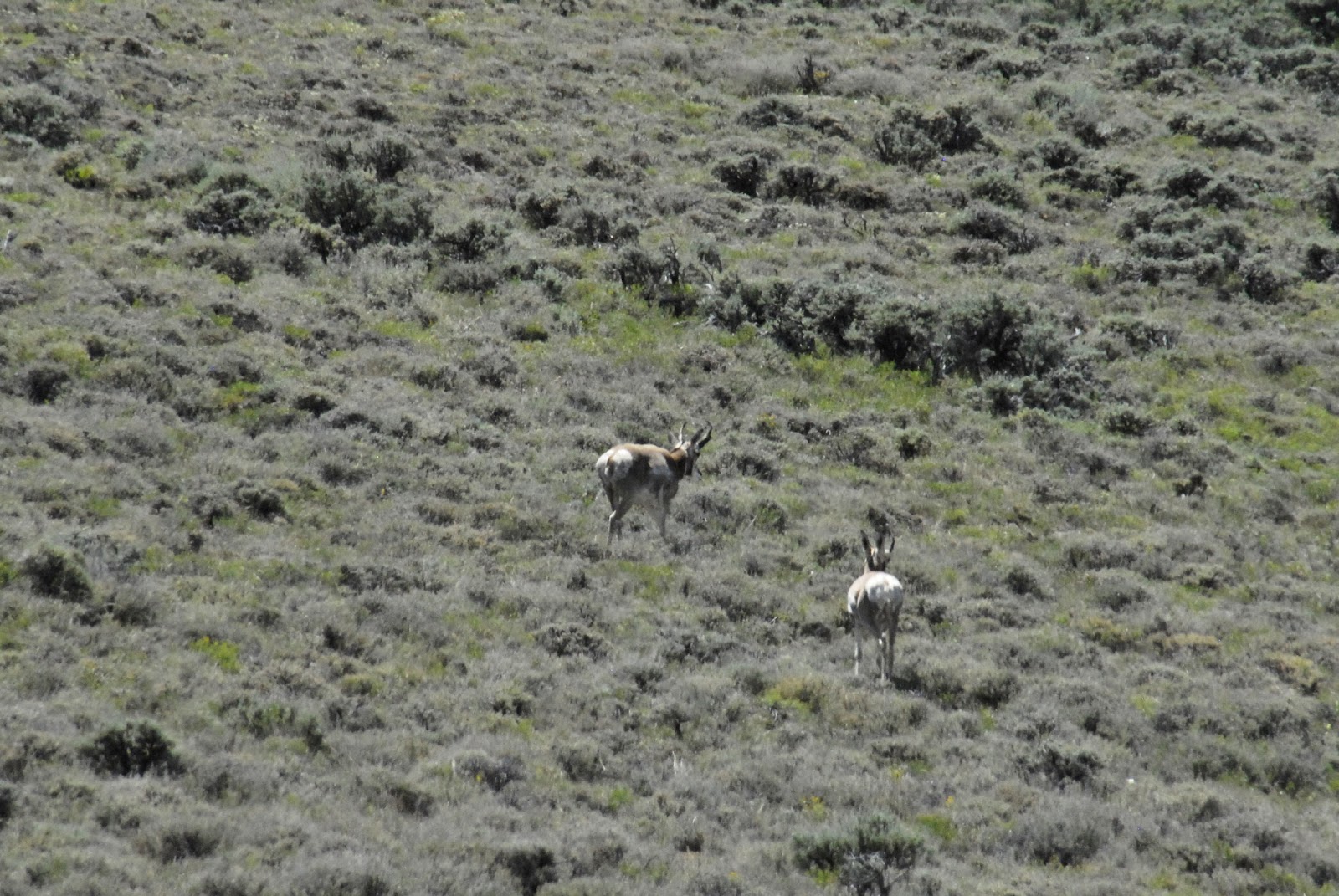
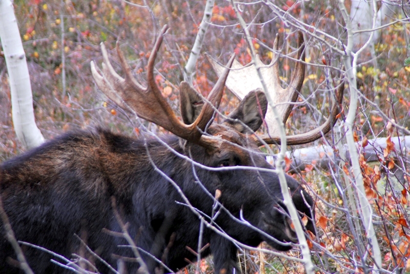
As I dropped down into lower country I was scouting for a spot for deer hunting the next day, but I found one big dude of an animal and stalked so close I could hear him breathing.
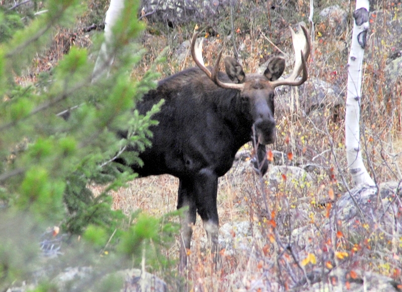
In fact if I could of had a license to bag a moose, I could have jumped on his back Tarzan style and brought him down with my deer knife!
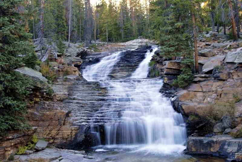
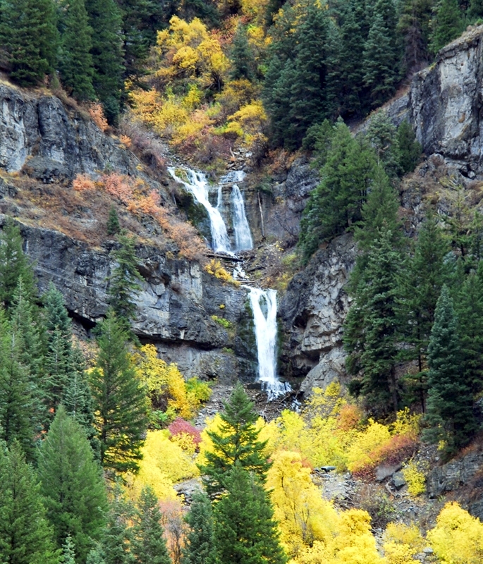
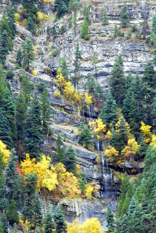
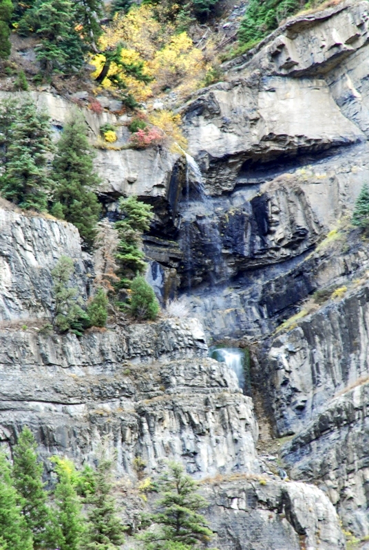
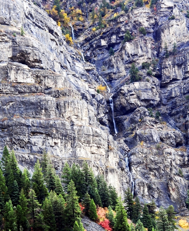
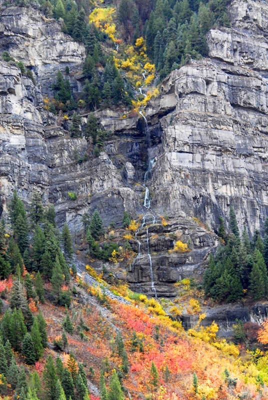
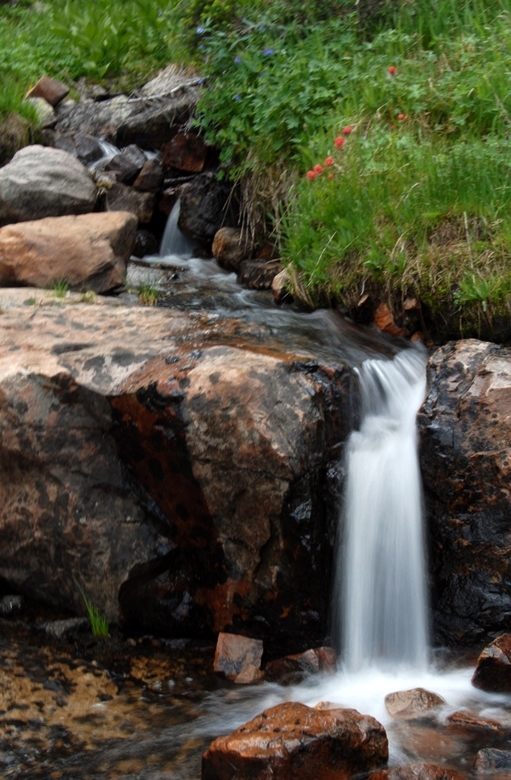
The next afternoon I was on my way back to Springville and couldn’t resist stopping a few times to enjoy majestic Provo Canyon, and its lesser known and noticed water falls.


During the winter and I’ll also do quite a bit of research and writing and see if I can’t get all this effort put together in a package worthy of our Tie Hacker Heroes, without which there would have been no transcontinental railroad. What effect might this have had on the “WINNING OF THE WEST?”

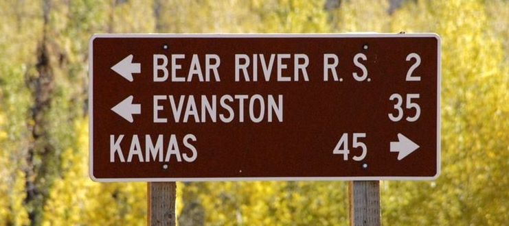
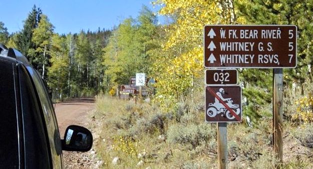
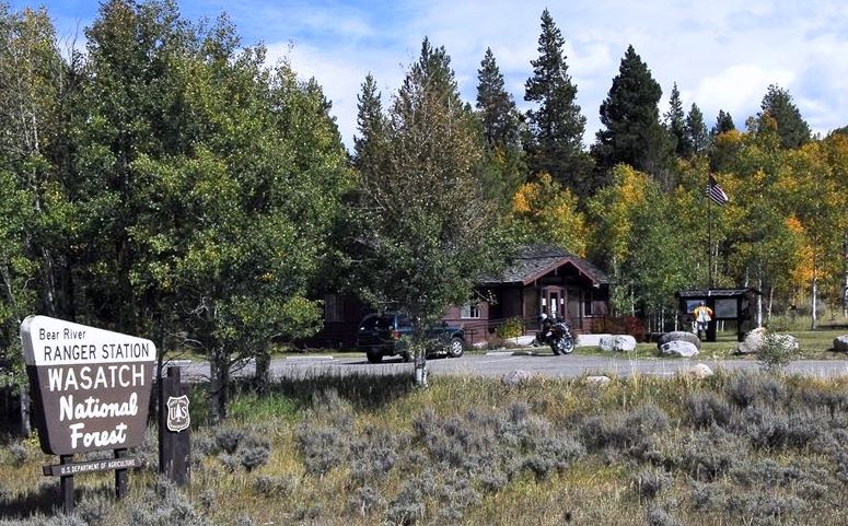
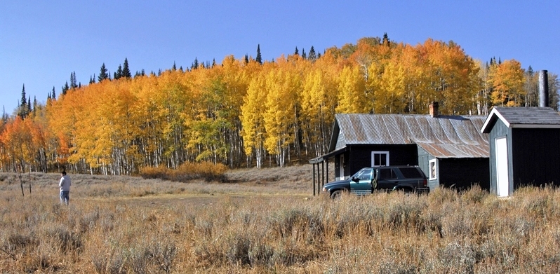
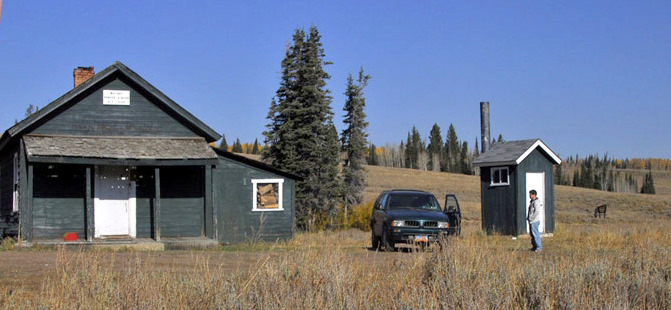
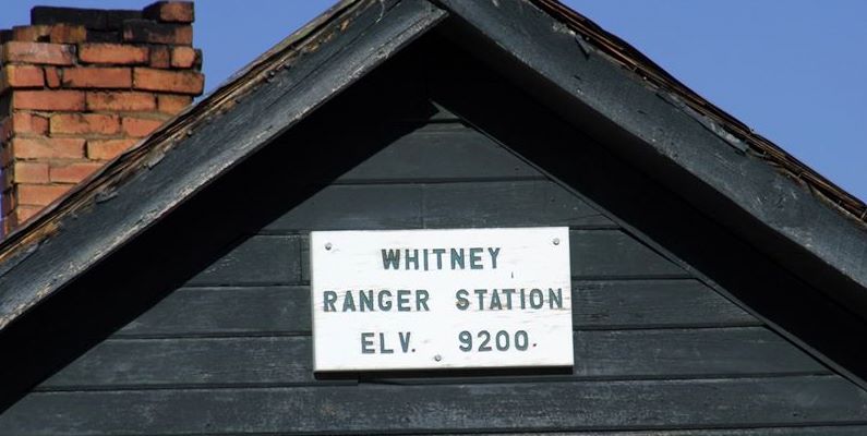
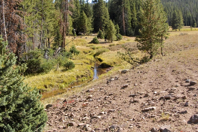
About 4 miles from the highway we begin winding our way down into the drainage of the West Fork of the Bear River, and in this shot see in the dead center a ranger station where we would park. .
I’ll zoom in as that is the target area

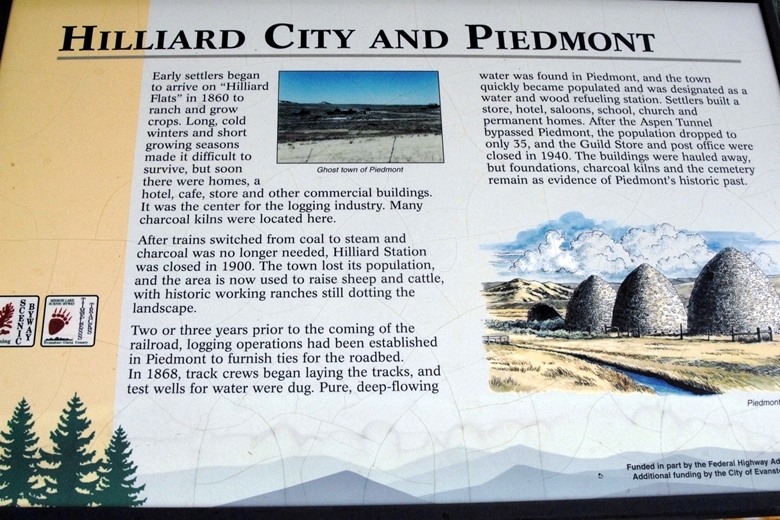
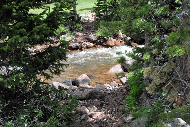
We have crossed the West Fork Bear River and looking upstream towards the target area. In the distance is Gold Hill, on the other side of which I found a couple of weeks ago remnants of the Hilliard Flume and what had to be the ghost town.


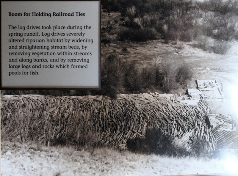
The flume was V shaped about 36″ x 36″ built with heavy 3″x12″ planks. As it went down the mountain maintaining a consistent downward angle that kept the water flowing at 15 miles per hour, it at times went through cuts dug through the rocky terrain, and at times was held up by a trestle one report says as high as 16 feet, and at its end in Hilliard was 30 feet high with the train passing underneath it with passengers incredulous describing it as an “engineering marvel.” as you see below.

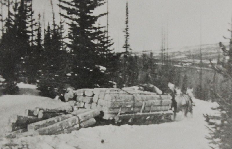
80 tons of square iron spikes were used in the construction that in the beginning was known as “Sloan’s Folly,” but the engineering feat was successful for 7 years and perhaps more. The water would move the wood products along about 15 miles per hour, making it to Hilliard in about 2 hours.
For background information you can go to my other reports, such as:


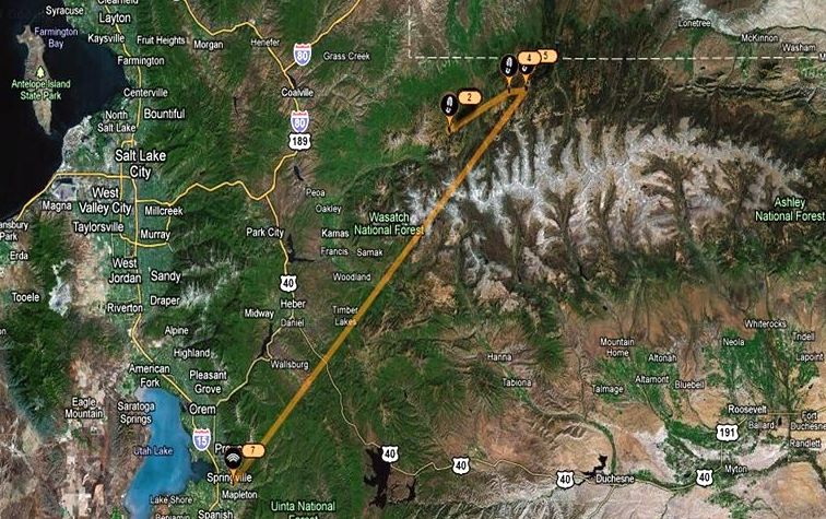
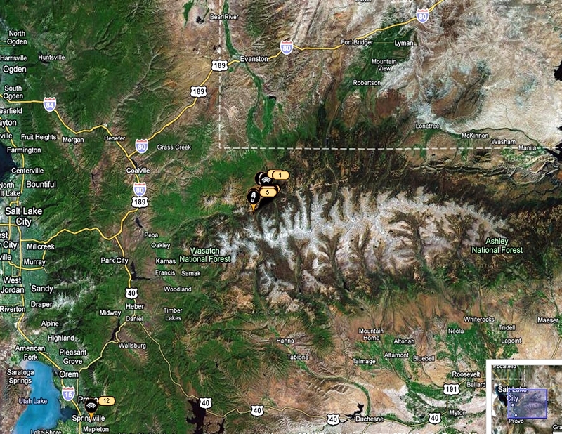
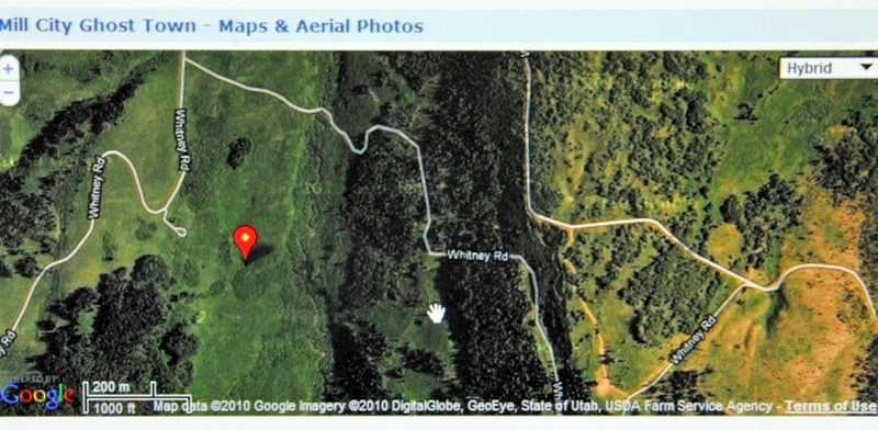
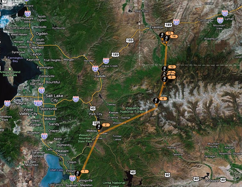
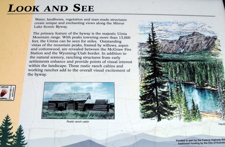
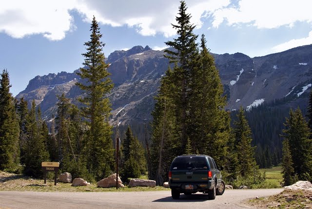
The Google Earth view seen below will indicate where I was to travel–from Springville, Utah up through Heber, Kamas and then on the Mirror Lake Scenic Byway onto the northwestern slope of the Uintas.
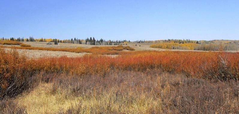
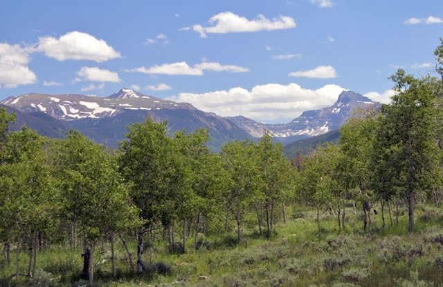
It was a beautiful drive with the vibrant colors of autumn all around me.
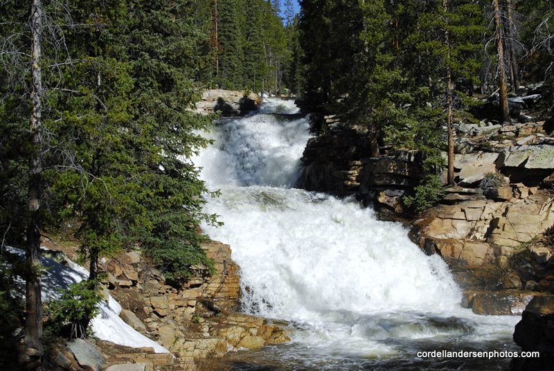
The Provo River Falls was a bit different than normal, with low water, but always gorgeous.
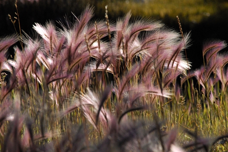
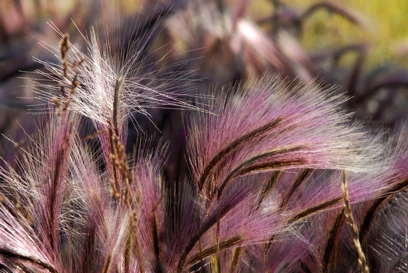
Foxtrails along the highway were long gone at the lower elevations, but were impressive up over 10,000 feet with a beautiful reddish/purple hue.


You continue south for about 2 miles and Gold Hill comes into view.

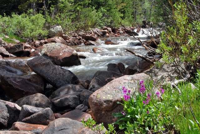
The creek you see below had very little water, and I began wondering where they had found enough water for the flume. Was there greater water flow 150 years ago? Did they only operate the flume in the early months of summer when the runoff was high? I will have to do more research to learn the details of this fascinating period of western history.
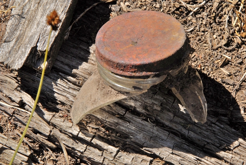
After an hour or so of hiking I noticed off to my left some glittering of broken glass. Up the road a bit a very faint side road led me towards the area.


Prior to the square or cut nail, nails were hand forged square nails, but tapered on all four sides. Cut nails were actually machine produced by a shearing process and only tapered on two sides. In pre-1850 America nails were so scarce and expensive that people would even burn down dilapidated buildings, and sift the ashes for the nails. Pulling them would have damaged them.
A bit further along I found galvanized nails as you see below. It would be natural to assume that these nails were even more modern, but actually the galvanization of nails, to prevent corrosion, began in 1742 in France, but in very crude form galvanized nails have been found dating back to 3000 B.C, and later the Romans hand forged and galvanized nails as did the first pilgrims in America in the 1600’s.

The first American company to galvanize nails was established in the early 1800’s but they were “cut” or “square” nails, not wire nails as you see above. Said company still exists today–The Tremont Galvanized Nail Co. The wire galvanized nails you see above had to be from the 1900’s and not from the Hilliard Flume era.
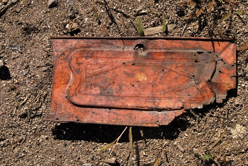
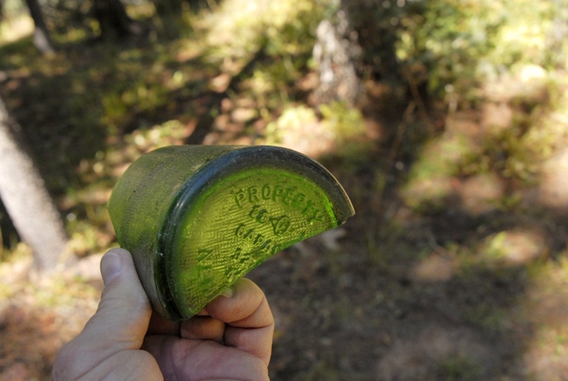
I then came to what I saw from across the creek, apparently a garbage dump–that have archeologists salavating.

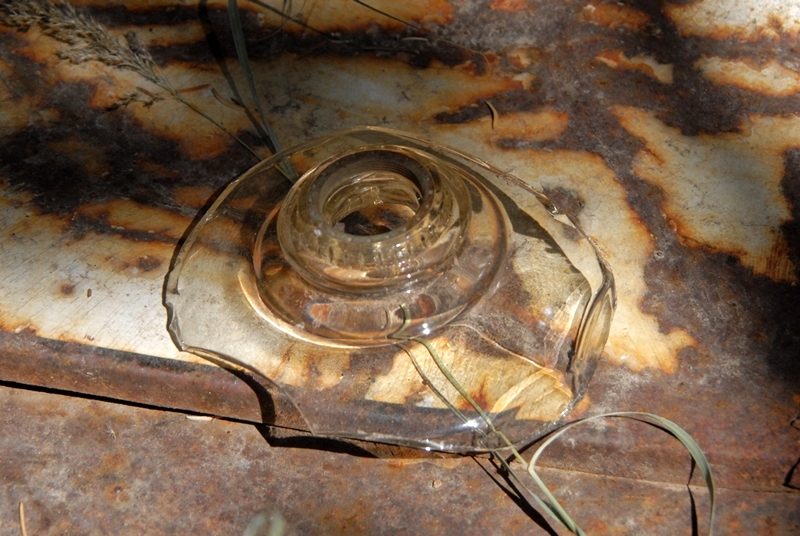
Below I’ll insert photos of the least deteriorated artifacts found here. All apparently from the 1900’s.
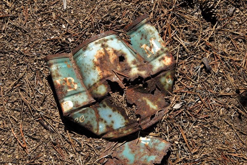

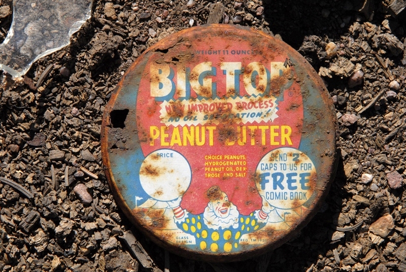
This is the most common brand of peanut butter up to 1950.
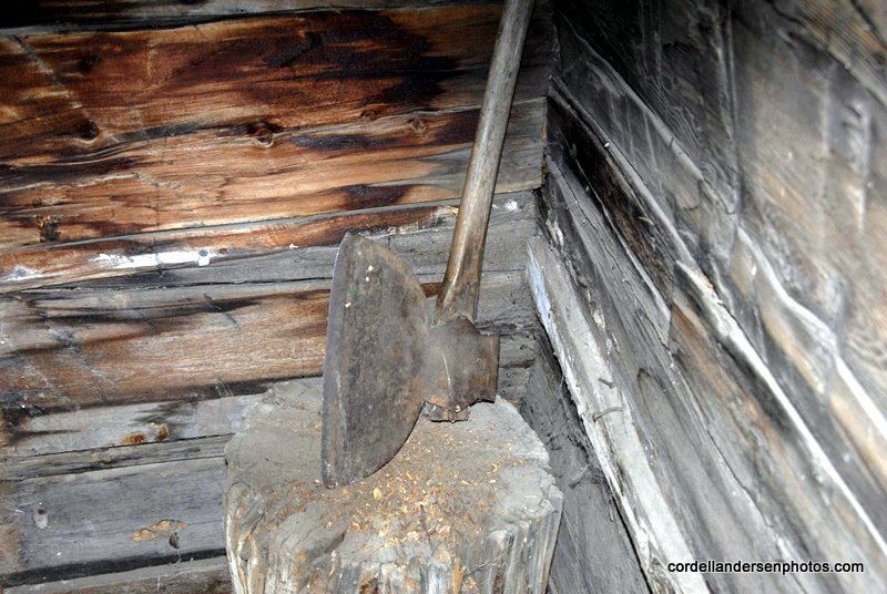
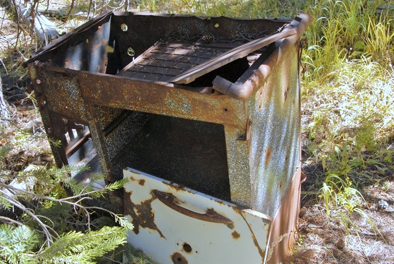
In the camp area, I then found a wood burning stove you see below similar to what I also found among the ruins of the Steel Creek Commisary, a tie hacker site near the Hewinta Guard Station on the West Fork of Smith Fork from the 1912-1935 period.
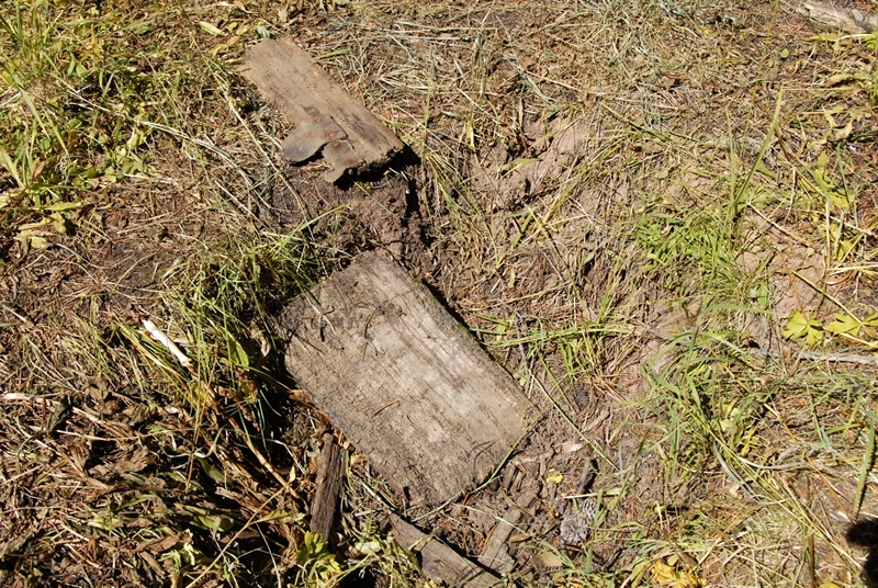
Nearby I found what seemed to be an old outhouse hole you see below.
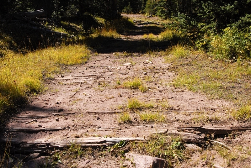
This area was about 1 mile from the end of the road included on maps and Google Earth. I concluded that I was way too far up the canyon for the location of the Mill City Ghost town. I turned around and headed down the canyon that had become quite narrow, with almost no water at all in the creek.
A few hundred yards above where I had parked, due to the rough road, there was a side road.
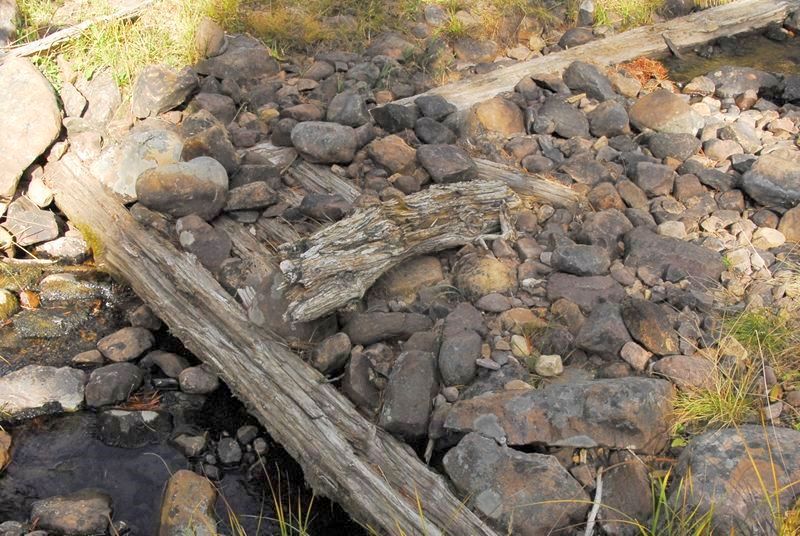
This road only continued for a few hundred yards, but in one section showed a very old system of making it passable, as you see in the photo below.


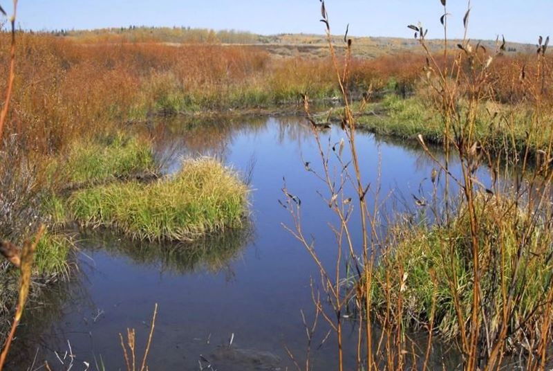
As mentioned the creek certainly doesn’t have enough water to supply what the flume needed to function. This is one of the mysteries I have to solve.

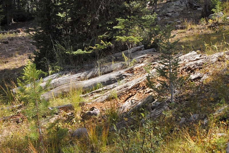
Here we see the remnants of what was a dam across the creek.
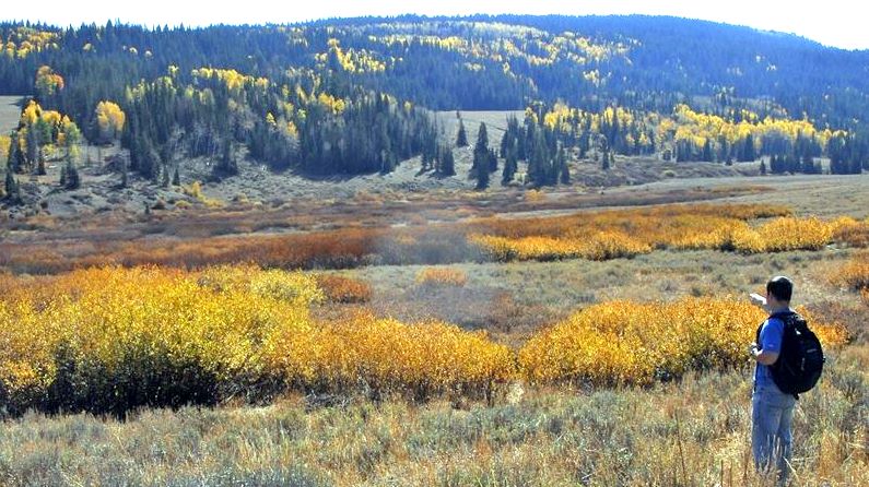
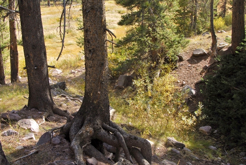
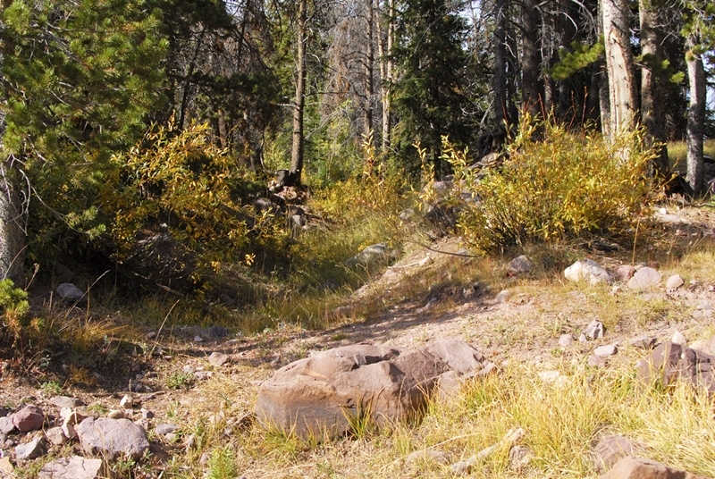
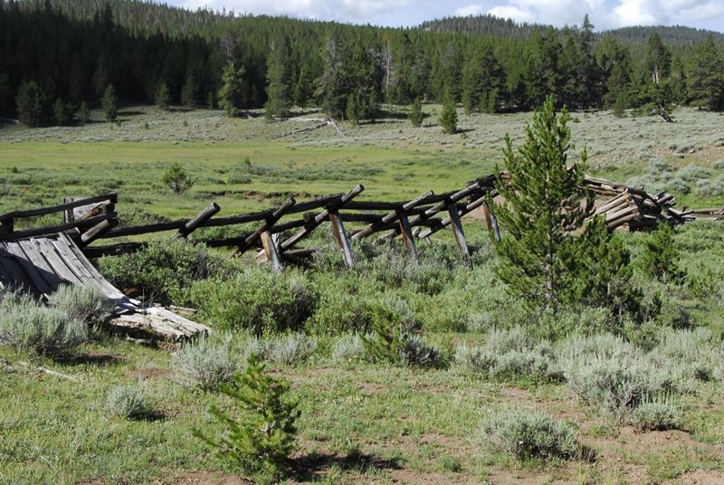
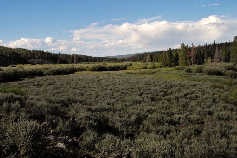
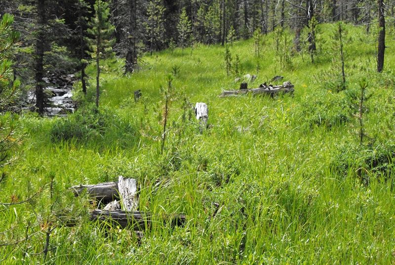
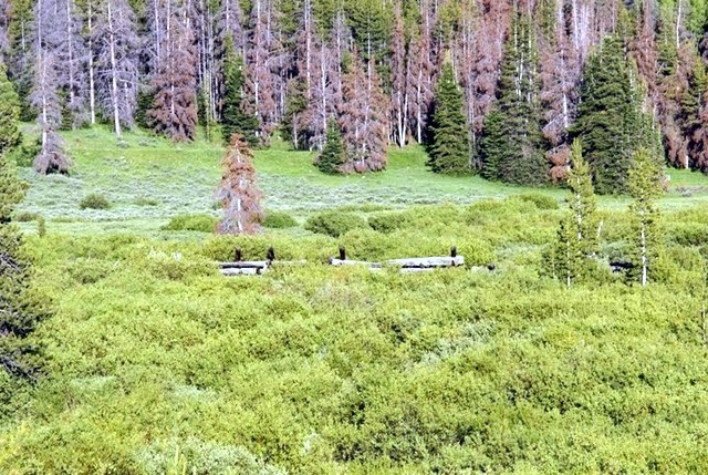
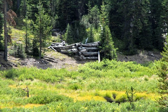
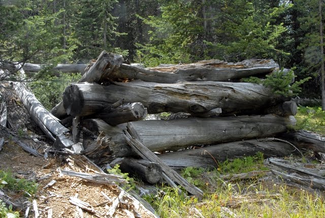
Another few hundred yards down the canyon the stream bed widened creating again meadows with abundant willows, and I noticed a log structure over on the side where the flume path was.

This again appears to be another loading platform. Below is the same structure, but photographed last year at about the same time, but apparently a wetter year with greener vegetation.

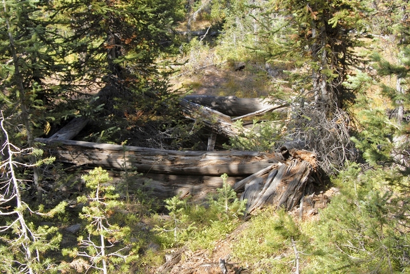
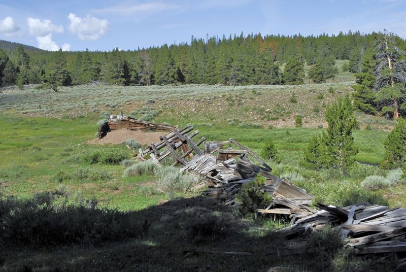
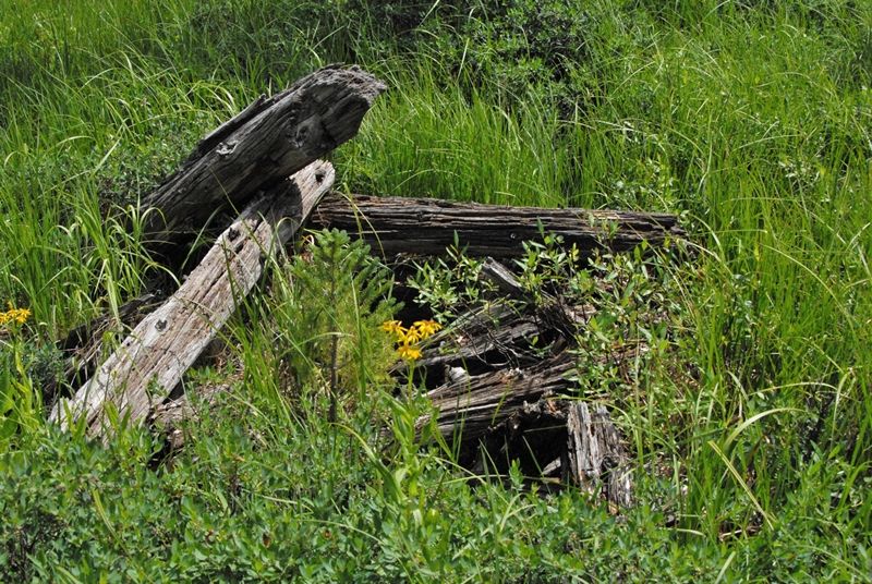
A very deteriorated cabin in the same area. 100 yards downstream I came to what appeared to be another dam you see in the two photos below.

Off to the side of this damned up area, we find the cut that I found last year, seen below, looking out into what would have been the pond area.

A view of the same cut this year is seen below.


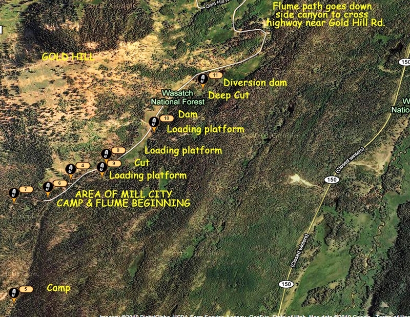
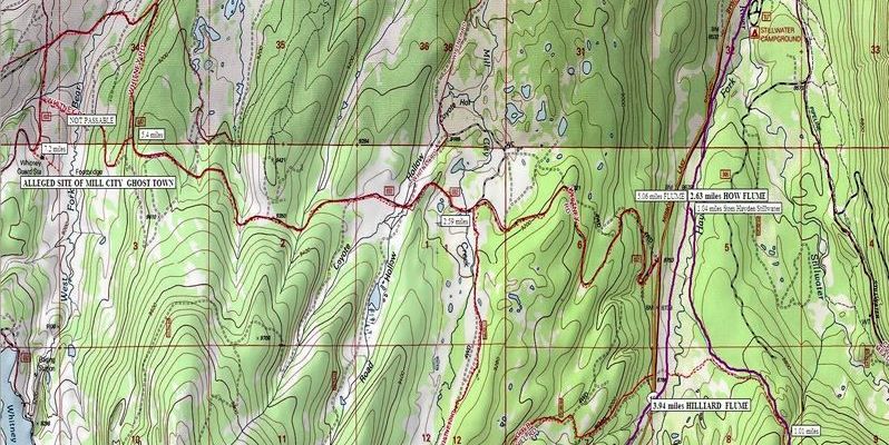
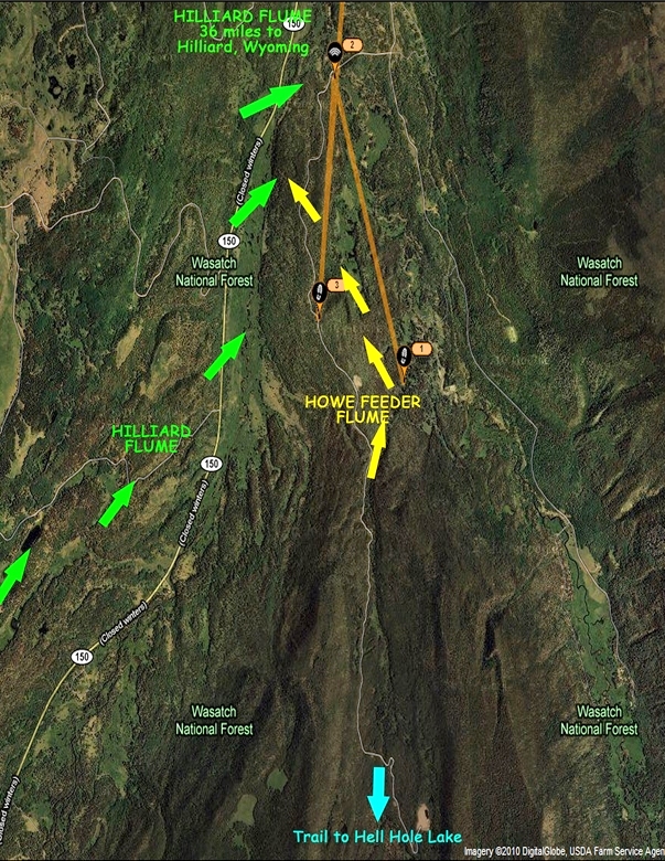
Below is seen the area of my explorations, then the path of the flume down to where it crosses the Mirror Lake Scenic Byway just a bit above the Gold Hill Road. You can also see the Area of the Howe Feeder Flume, and its path down to where it joins the Hilliard Flume.

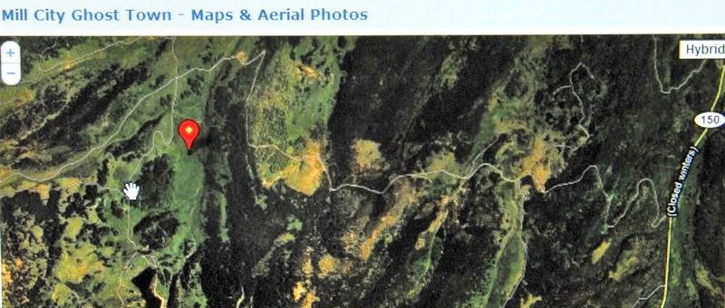
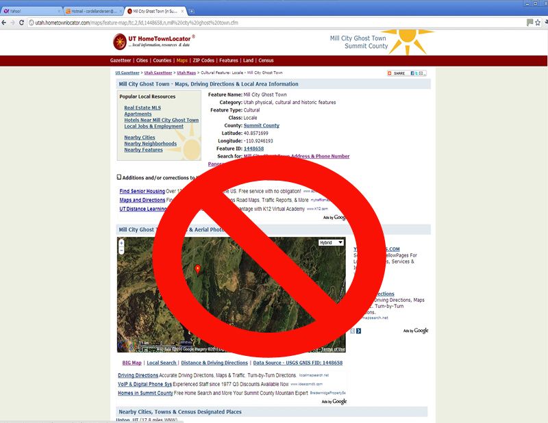
I have to conclude that while I made some very important finds, I didn’t really find what must have been the site of the Mills City Ghost town. I decided I had to do more research, both in the Utah Historical Society, and the Wyoming equivalent, and then make another exploratory trip.
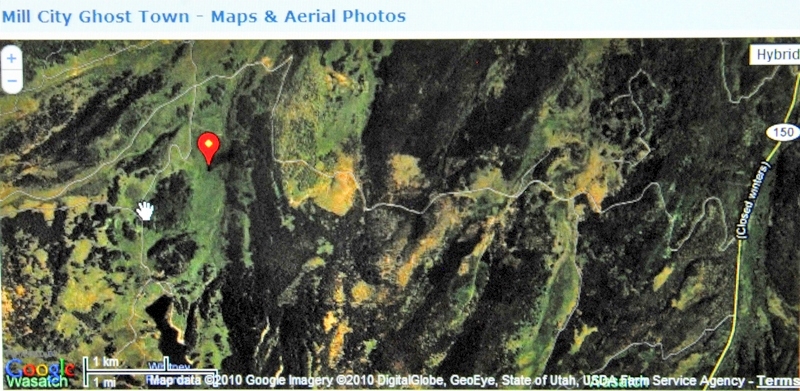
I did some preliminary investigation Googling “Mill City ghost town” and “Hilliard Flume” and found myself in the first two positions! I’m the expert? Apparently we are dealing with history that is not too well known. But, down the list I did find a site that pinpoints where the Mill City ghost town was. I”ll insert the Google Earth view below and then comment.

I will of course use my SPOT TRACKER–in fact I’ll program it right now so you will be able to track me on the weekend using the following link: SPOT TRACKER I won’t have a satellite phone, but will try a call to KSL OUTDOORS Saturday morning with a normal cell phone as I drive up into the Uintas.
ANY COMMENTS WILL BE APPRECIATED.
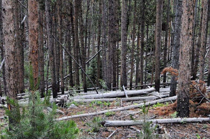
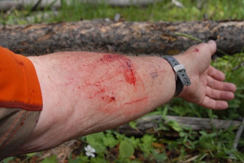
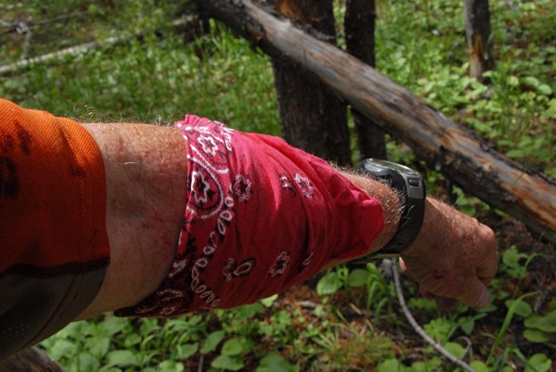
A SEARCH THAT REQUIRED FIGHTING A BEAST….and it was bloody!


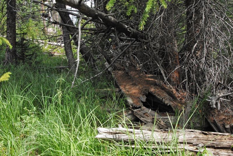
It is now the next day, Saturday. We have crossed Hayden Fork following the trail and old jeep road heading east. The first evidence I was looking for was a “cut” described as shallow and hard to recognize. This is possibly it.


80 tons of square iron nails or spikes, like you see above, were used in the construction that in the beginning was known as “Sloan’s Folly,” but it was successful for 7 years and perhaps more and became known as “an engineering marvel.” The water would move the wood products along about 15 miles per hour, making it to Hilliard in about 2 hours. The nails were found on my second exploratory trip when I got the first photographs of remnants of the flume I know of. The longest nails are 6 inches long.


LET’S START WITH THE GOAL
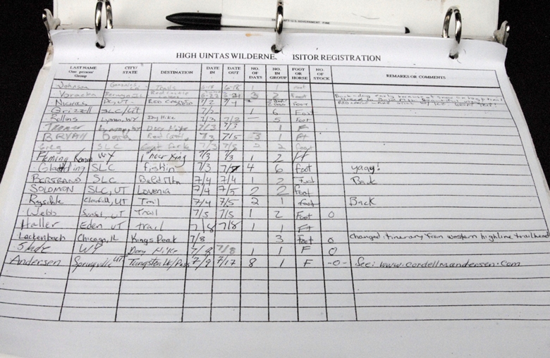
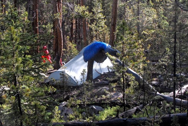
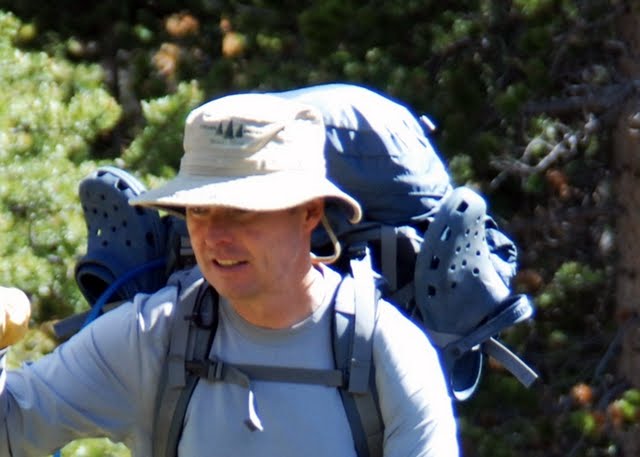
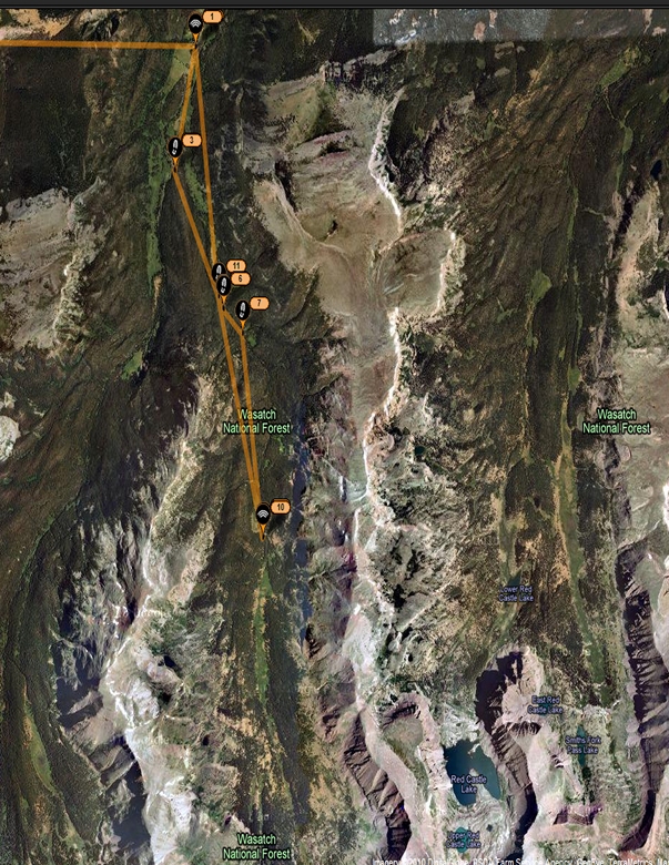
Trip #3 July 9-18 East Fork Blacks Fk. Trailhead –Little East Fk, Alpine Lakes, Squaw Pass, Porcupine Lake/Pass, upper no-name No.Star Lakes, Tungsten Lk/Pass, Y-19, Y-20 Lakes, Oweep/Lambert Lakes back to Trailhead . PURPOSES: Find and photograph Big Foot and family, test at least 14 lakes. Fri-Fri-Sun.

The East Fork of Black’s Fork Trailhead.


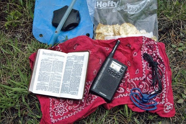
The next day, Sunday, I started off sleeping in some, clicking on my radio in time to listen to The Mormon Tabernacle Choir and, in keeping with the “Day of Rest,” I even had my simple little Sacrament service using my own modified version of the prayer from my tiny military version of the scriptures.
The decision came quickly to get down the canyon and on to home to begin acting on my own advice, work more and be able to become a more significant donor helping those in need. I would do my darndest to finish working on key aspects of my High Uintas Project, but do better putting in order my priorities. A Google Earth SPOT tracking of the backpack shows me returning as I had come, bushwhacking down to the main canyon and on to the Trailhead. Looking at this view, and zooming in on what I hadn’t been able to accomplish awakened an excitement in me to still one day make this trip–but the loop route. I hate failure, so one day . . . . .
As I moved down I stopped frequently to photograph the inspiring beauties of our Great Creator, and constantly felt grateful for my faith being strengthened and confirmed, and for the incredible exercise I was getting going through this off-trail wilderness.
Within a couple of hours I was bushwhacking down through familiar territory and feeling energized by all the wonders around me. I didn’t see Big Foot, nor his wife (except through the horrible nightmare), but I will spare you the trauma of inserting a photo here–you will just have to believe me!
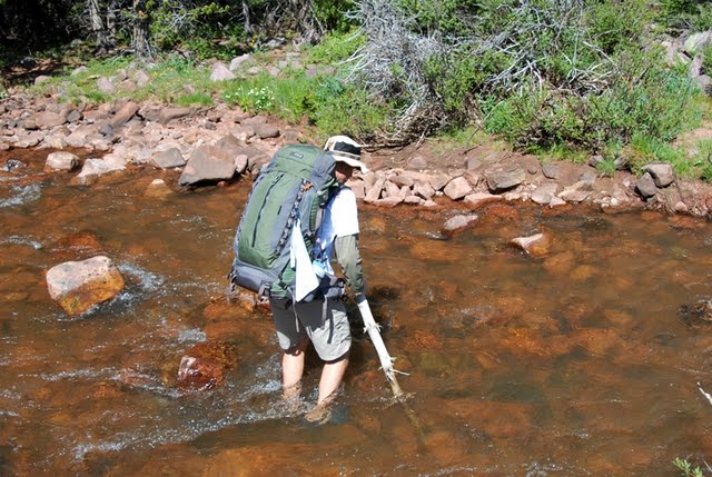
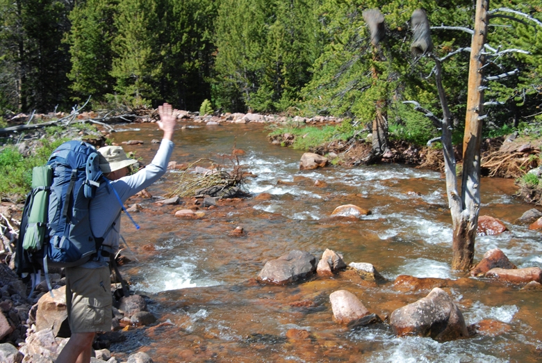
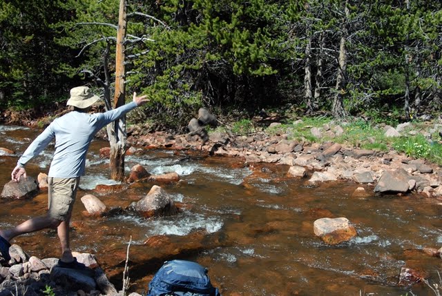
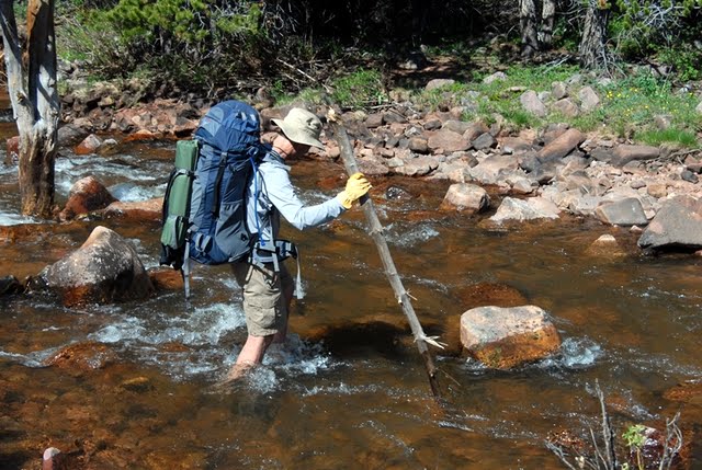
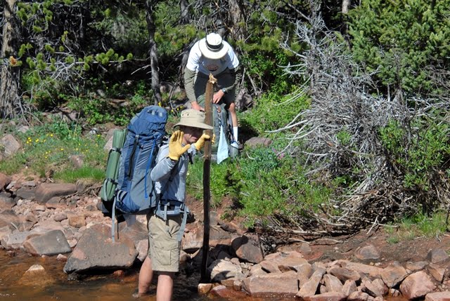
Soon I made it down to the main canyon, got safely across the divided river, and in good time was at the last sign (actually the only sign) that was a crosstrail on the other side of the river from the Trailhead.
A few minutes later I was gratefully at the car, having made the 7 miles since noon, but with the off-trail portion, it translated to more like 10 miles. Not bad for an old 74 year old geezer!

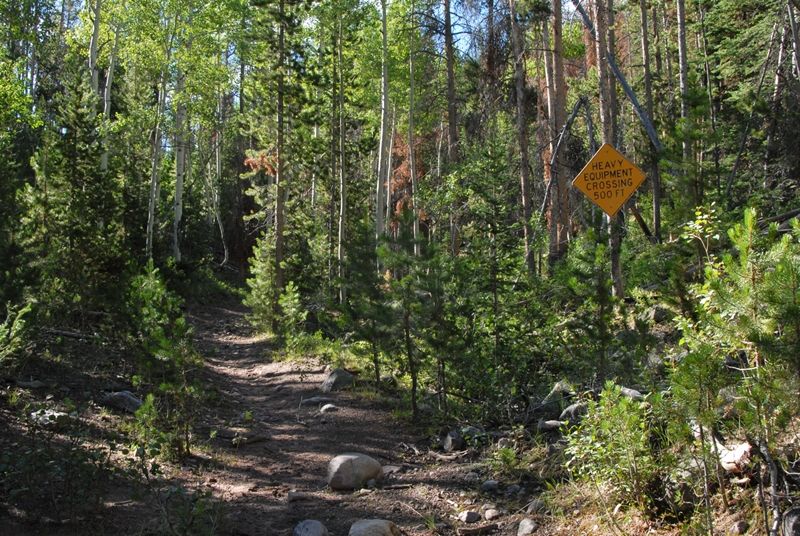
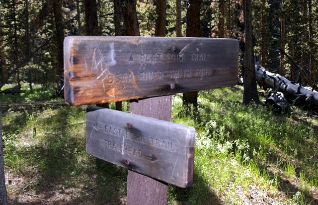
Now I noticed at the Trailhead a sign warning me of “TREES ON THE TRAILS,” not to mention the increase X100 for my bushwhacking route. Also I noticed another sign concerning the domestic grazing permitted in the area–I took notice as I could hear from my off-trail route the sheep being moved up the canyon as I was going down.
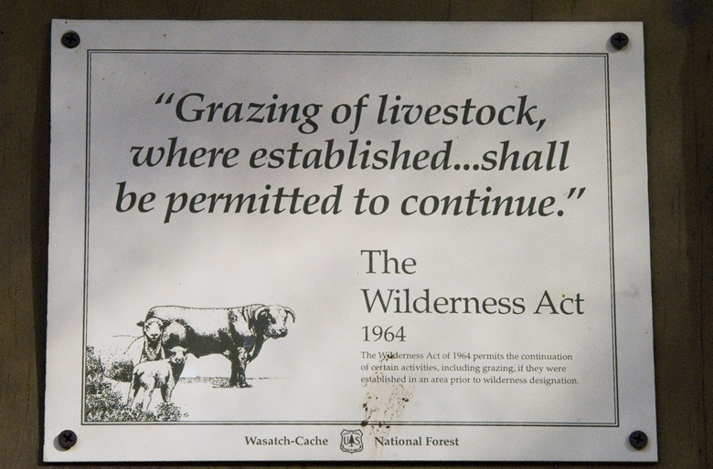
Many have asked me about sheep and cattle in the high country. It continues due to what they call “Grandaddy traditions” carrying on what has been going on for many years, all of them on the North Slope coming from Wyoming–which you will see in a minute or two.
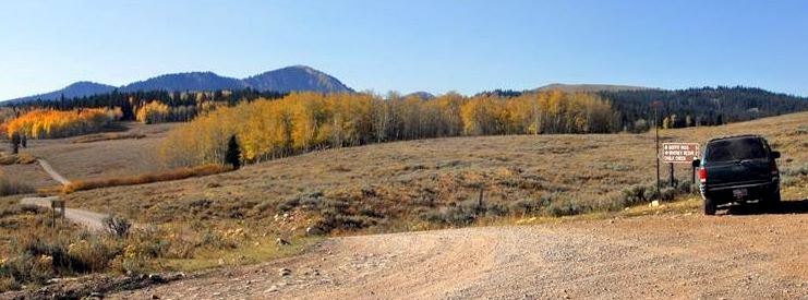
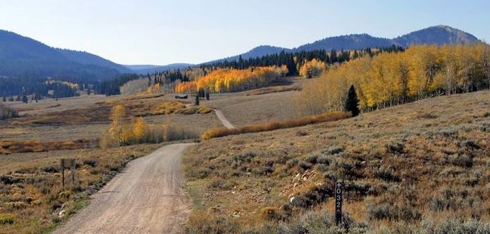
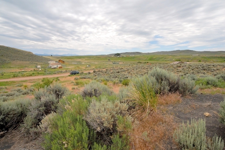
I headed west on the North Slope Road with the plan of taking a bit more advantage of having made the trip by camping out on, and exploring the Bear River, and doing a bit of exploring for the tie hackers. Along the way of course I had to stop often to record the stunning beauty.

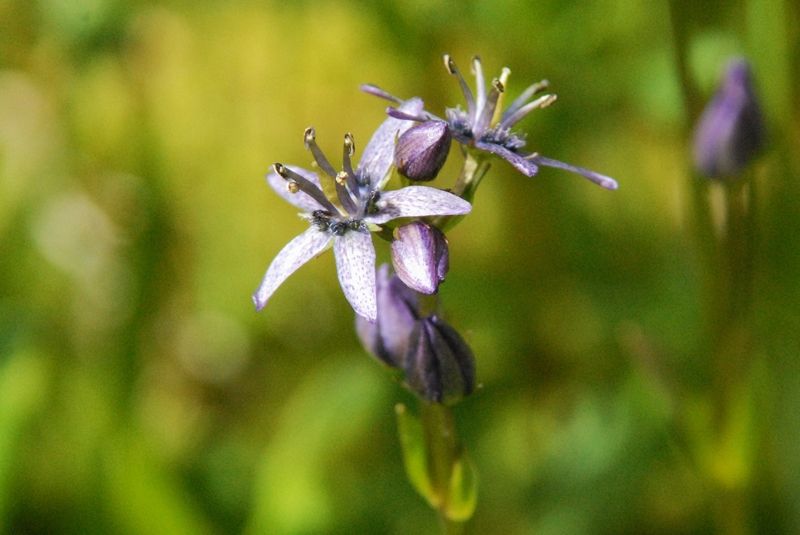
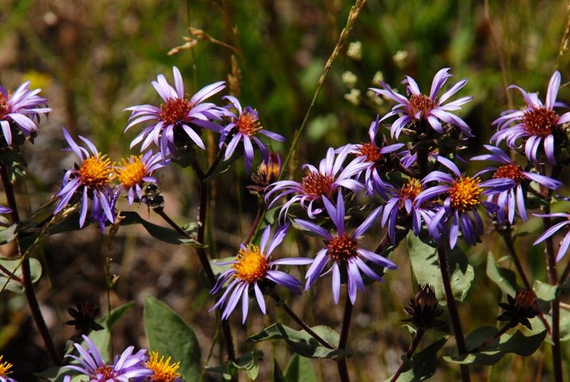
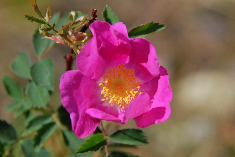
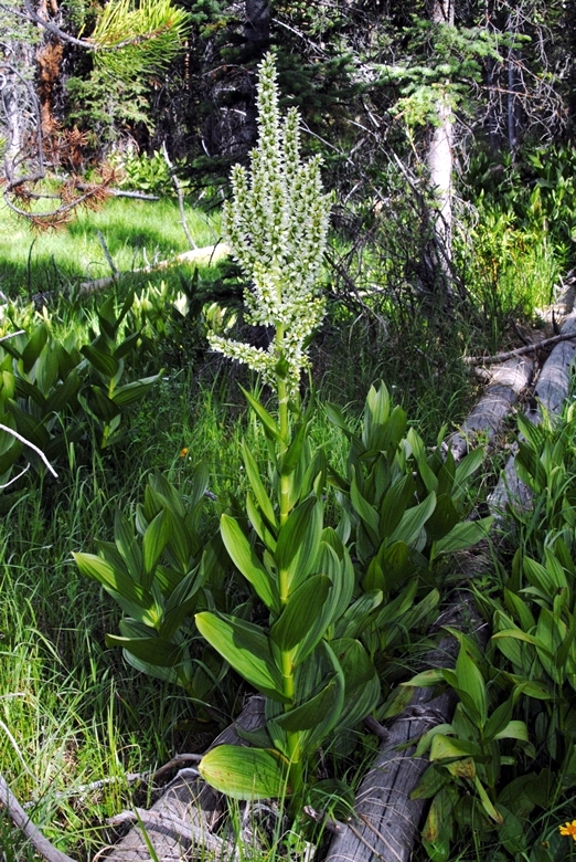
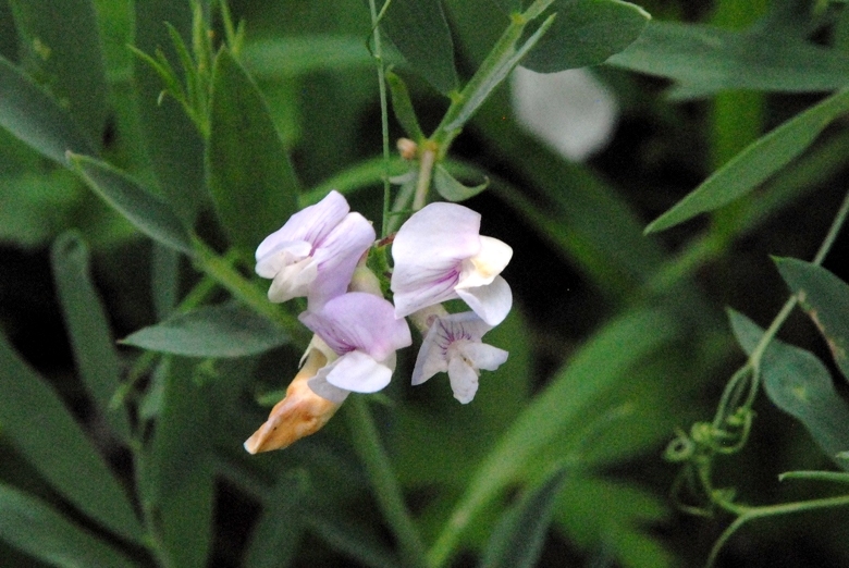
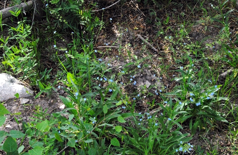
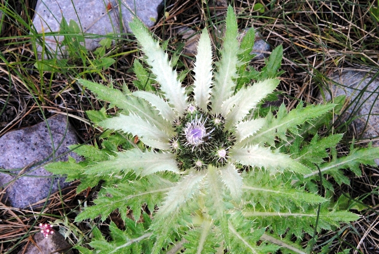
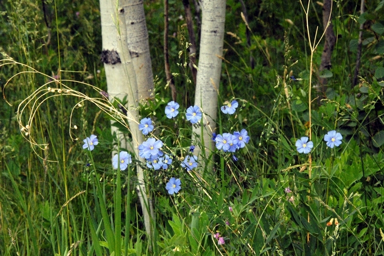
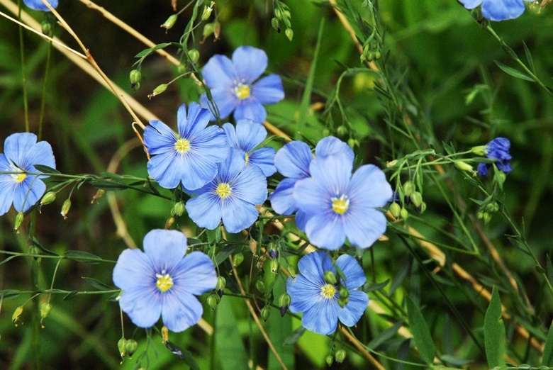
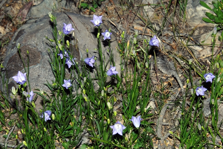
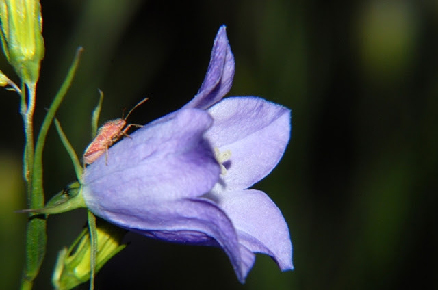
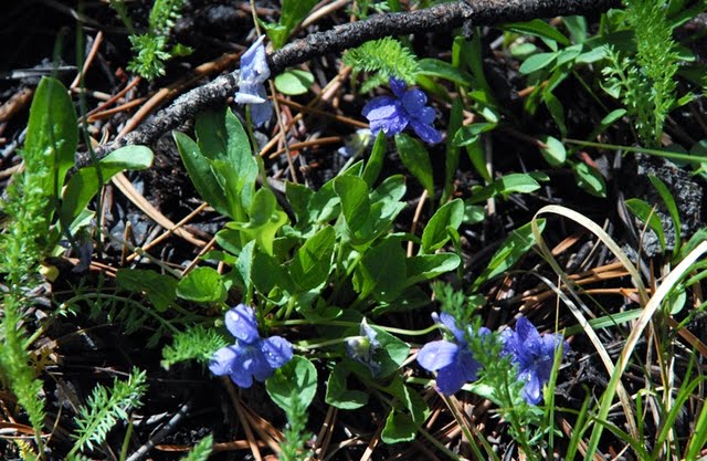
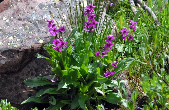
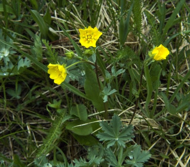
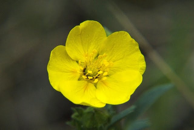
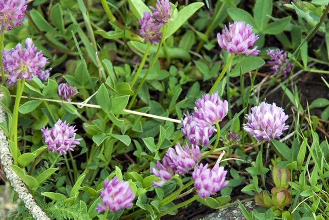
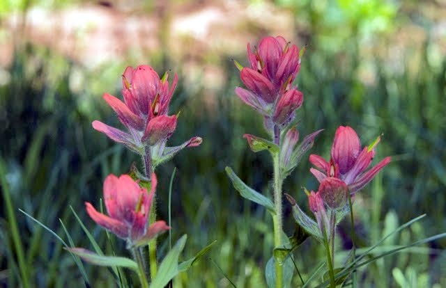
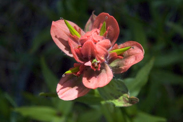
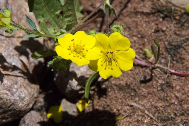
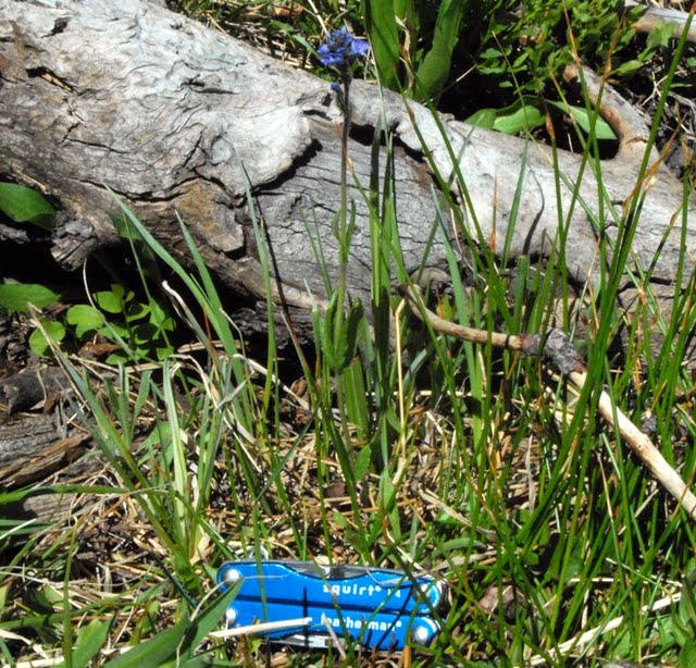
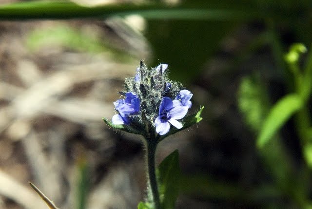
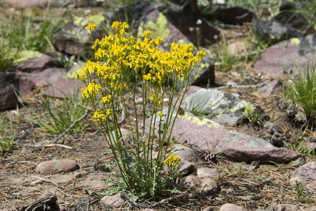
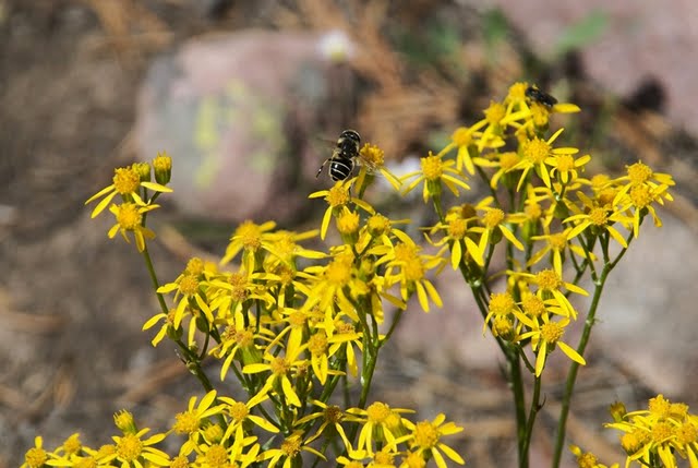
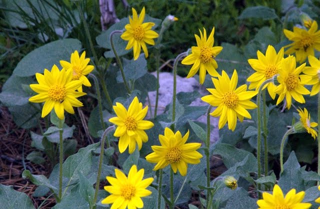
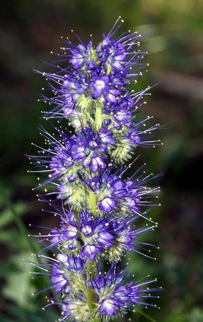
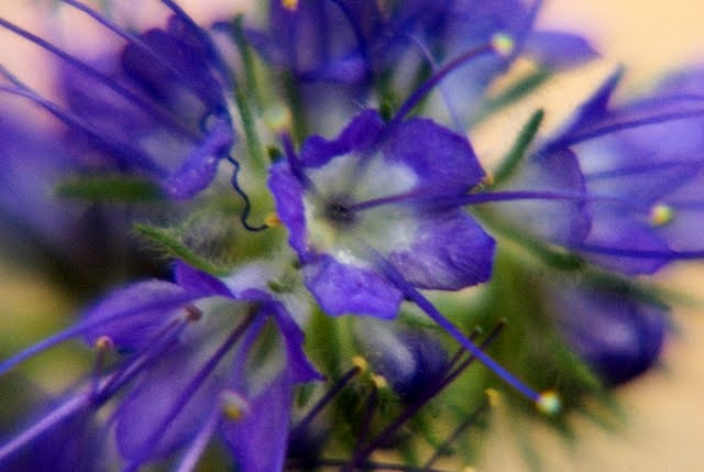
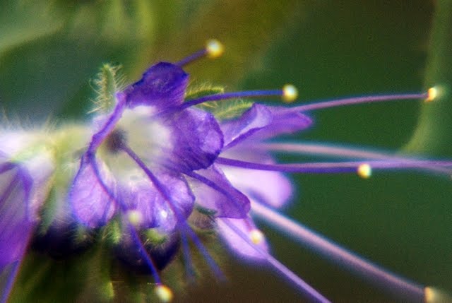
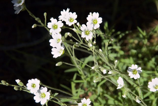
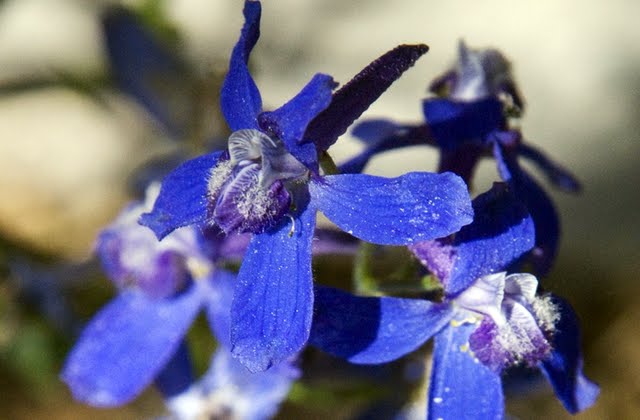
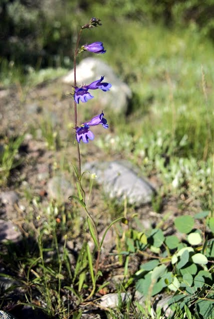
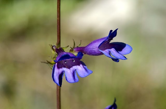
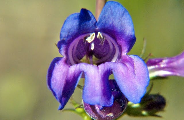
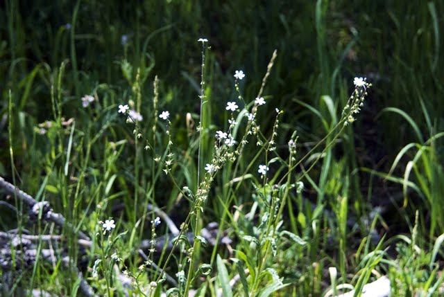
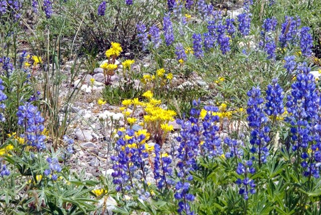
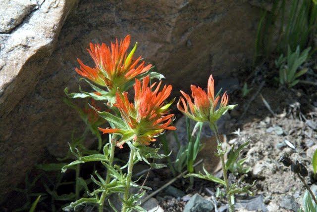
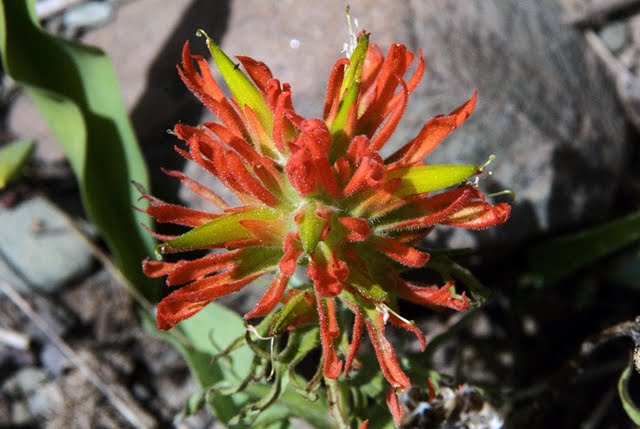
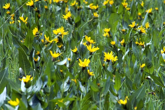
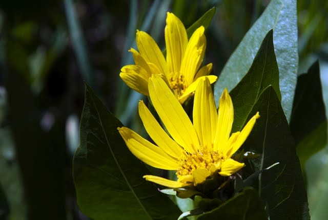
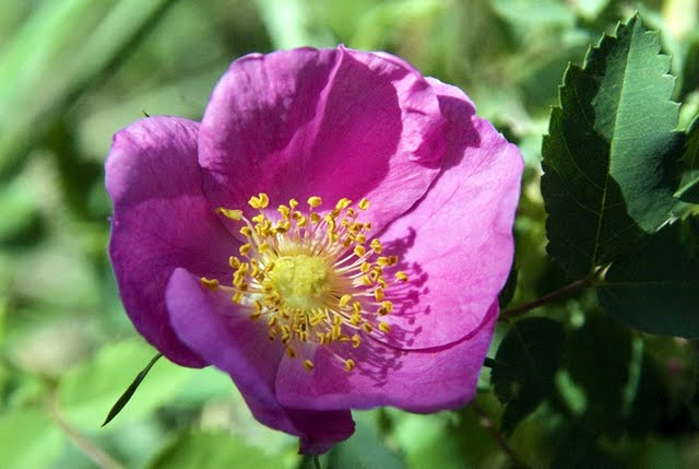
Some of these images of wildflowers will eventually be worked into my Alpine Wildflower Albums in the Galleries section.
At Carter Creek I took a telephoto shot of the remains of a tie hacker splash dam, and a bit further along observed a doe with two new speckled fawns, and in low light clicked off a shot as they took cover.


We have now arrived at the East Fork of the Bear River, seeing in the distance Spread Eagle Peak.

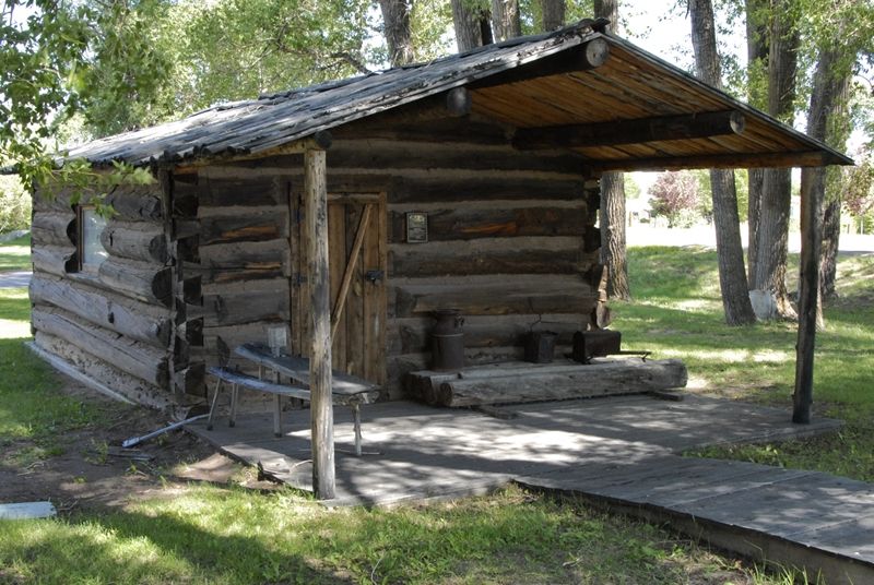
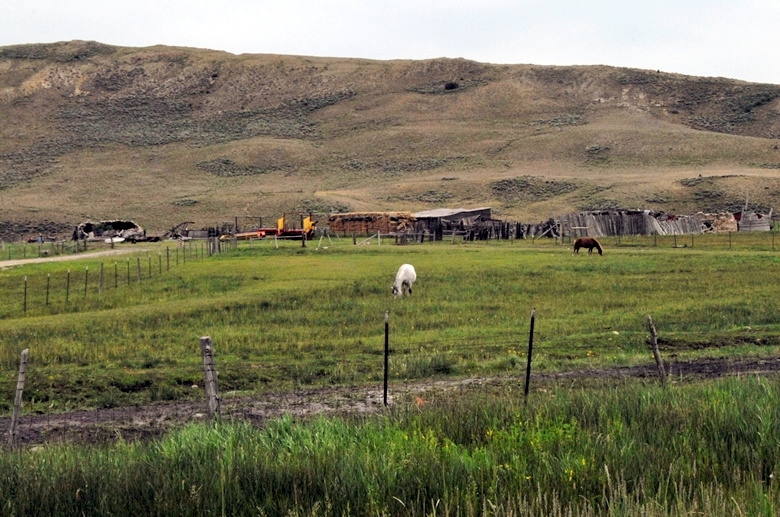
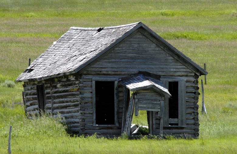
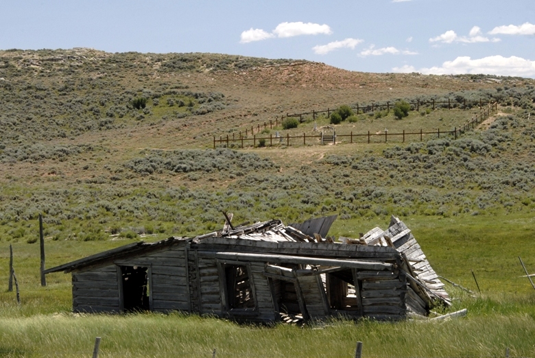
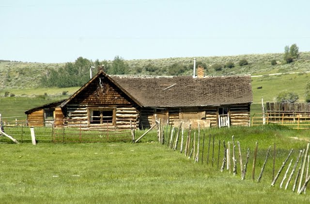
From this spot I turned my camera to the west to capture an image of a humble log cabin.

From my youth I had always dreamed of having a log cabin in the mountains–somewhere, but this isn’t what I had in mind. If said “cabin” is to come from my High Uintas Project’s commissions on outdoor items purchased from links on my website, it will be way down the road as so far the Project’s income comes to $11.64! Maybe we could do better by asking for a donation to the cause—if you feel there is value to you in my website and the guidance I give to make possible safely enjoying our wonderful outdoors. You could perhaps look at a donation being like a subscription to your favorite magazine. Best we get back to enjoying the beauties of nature I found all around me along the Bear River.

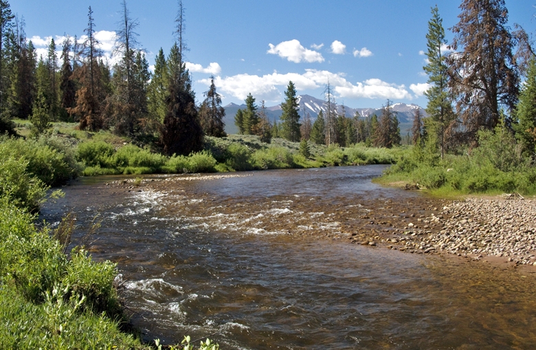
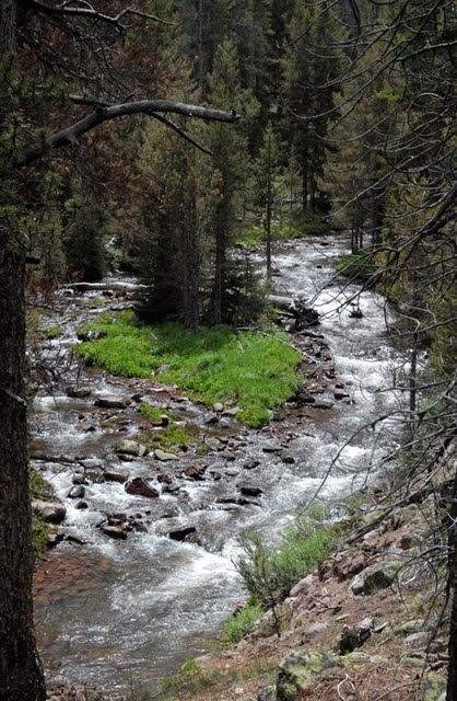
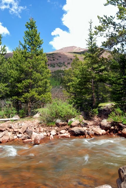
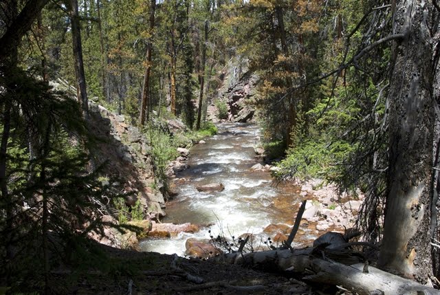
The Bear River flowing out of the High Uintas.
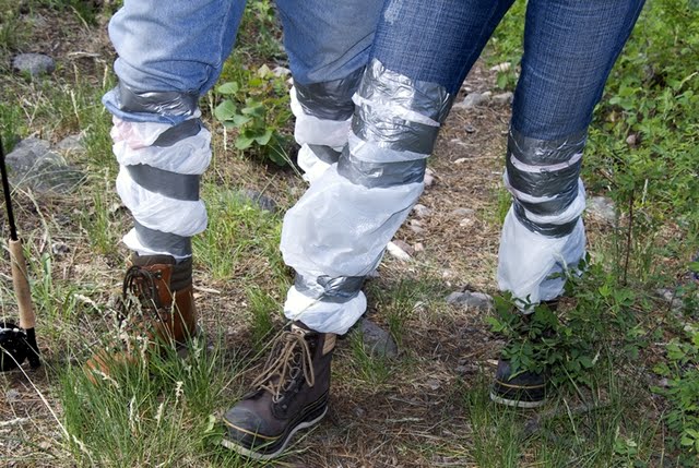
Some of you might recall from other articles on my website that the 500 mile long Bear River, born in the Uintas, is the largest river in North America that doesn’t empty into an ocean. It flows north into Wyoming, then swings west into Idaho, and turns south flowing back into Utah and the Great Salt lake. As you see it is a beautiful fishing stream. I fished a little, then got diverted to photographing flowers, when Sherman and Jan appeared, fly fishing rods in hand.

What a great chance encounter. Are you noticing their humble waders? Let’s focus on them.
Later, on my way back from the tie hack search in Wyoming, I stopped to say goodbye and was invited to a wonderful picnic lunch, along with some great conversation. THANKS TO BOTH OF YOU! She had won the fishing contest with one Brown trout caught on a tiny nymph.
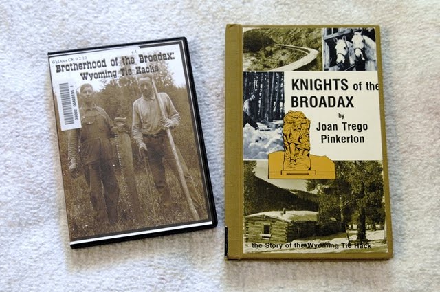
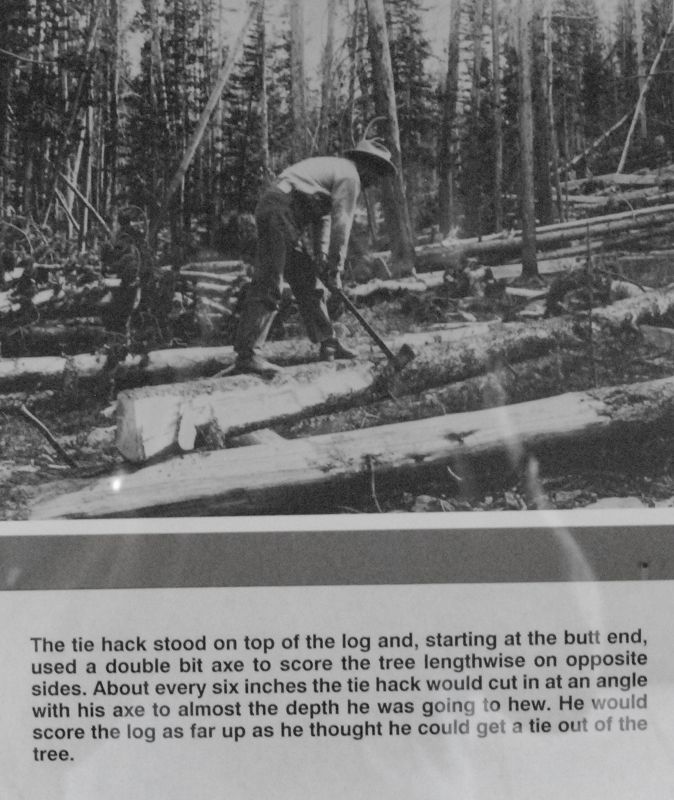
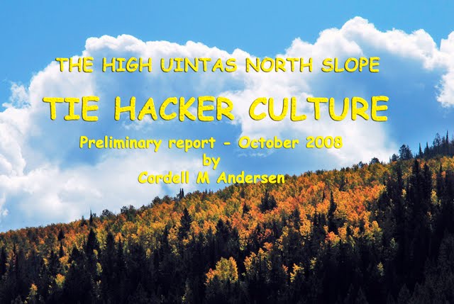
I decided to finish off the trip exploring more about the tie hackers. See my preliminary photo essay on these incredible Americans clicking on TIE HACK HEROES. I have 3 or 4 more aspects of their history to investigate and then I will publish for the world this great story. So far what I have is the best I have seen on the Utah tie hacks, and I’m determined to do these heroes justice. What I have found in print, and the DVD shown above deal with Wyoming tie hacks, mainly from the Wind River area.
One aspect of my investigation deals with the Hilliard Flume, described below.
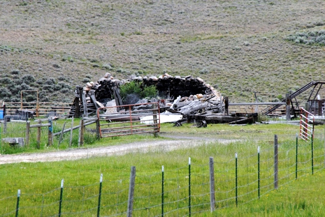
I drove up into the mountains west of the Scenic Byway to find evidence of where this flume came down the mountain. There were places where its construction was built 30 feet off the ground. In other places they dug huge trenches through the terrain. I found one of them shown below.
Here we see the beginning of the cut through the terrain as the flume came down the mountain. Below the camera was turned around looking down (north) seeing the cut.
Nearby I noticed across the gully what looked like cabin ruins, and got close.
Low and behold it was MY CABIN!
This coming Friday and Saturday–July 16th and 17th I will be in the area with my maps and old Forest Service writings that show where there might still be some remains of the flume. But I didn’t have my files with, so decided to not waste time and head north into Wyoming to search for the aspect of the tie hackers I would most like to find. As I headed north I was being approached by a white wave.
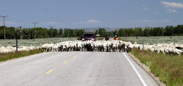
More sheep for the High Uintas alpine basins.
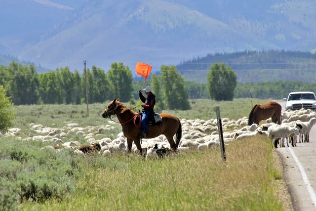
Mexican sheep herders were moving 1,200 sheep into the high country. Back 60 years ago sheep herders in the High Uintas were Basques from Spain. Now they are from Mexico, Peru and Chile.
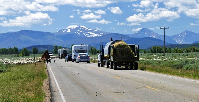
There they go towards Lamotte, Ostler and Spread Eagle Peaks.
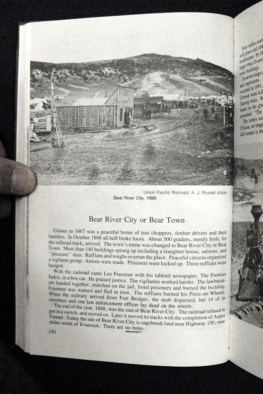
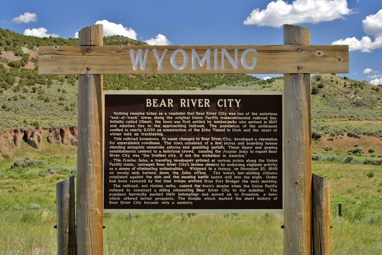
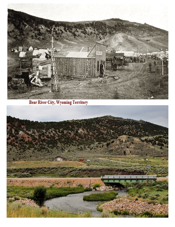
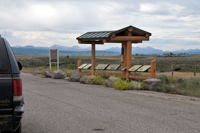
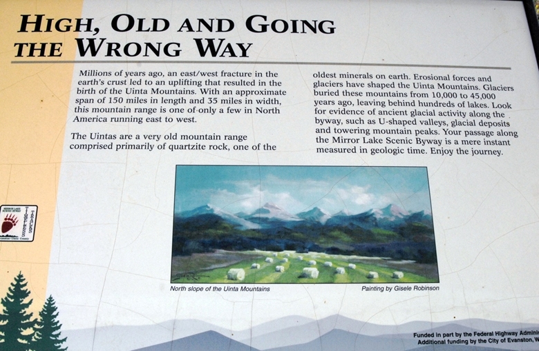
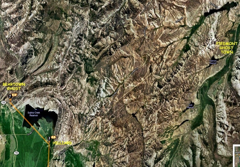
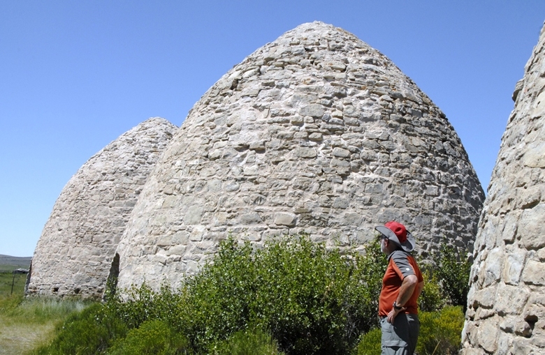
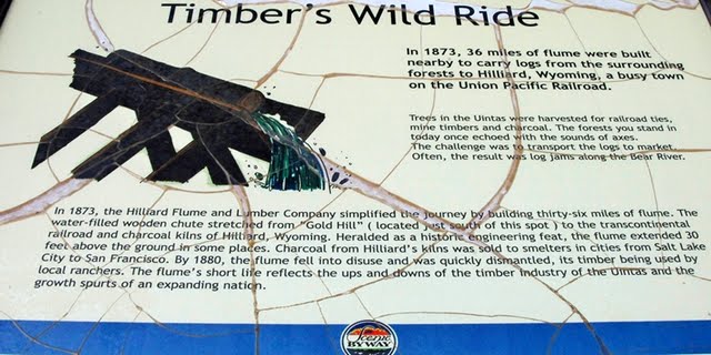
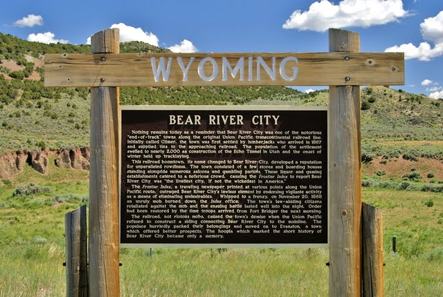
We are heading north towards Evanston, Wyoming driving through wonderful ranching country. Our objective is to learn more about what became known to many as Beartown. About 10 miles from Evanston there is a tourist historical turn-out that everyone should take a moment to see. The part I was interested in was:

I’ll zoom in for you.
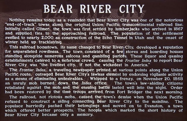
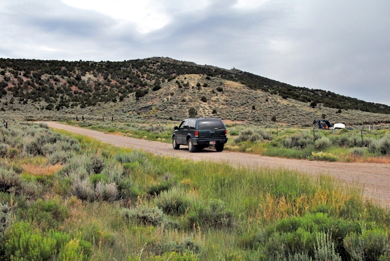
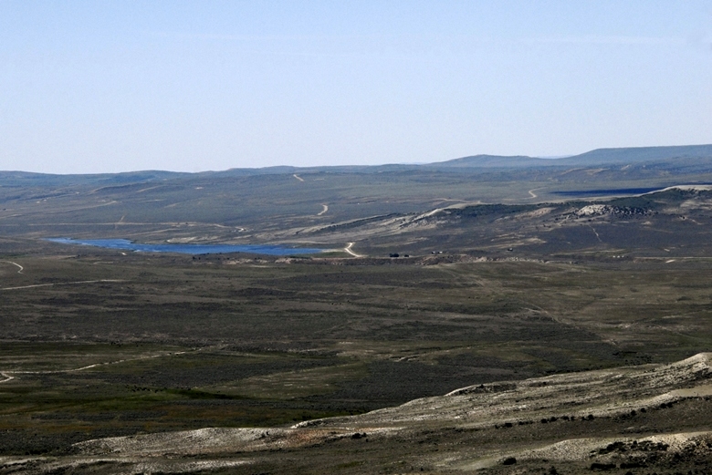
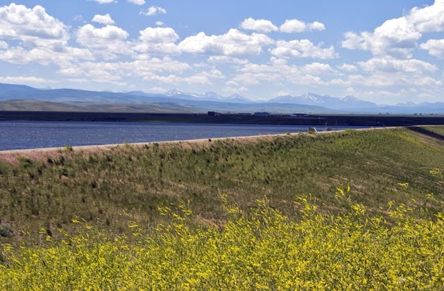
I can’t believe that “Nothing remains today…” A town of 2,000 people has to have something remaining and I want to find whatever it might be. I drove around some, like up to the nearby Sulfur Creek Reservoir, but found nothing. We are looking south towards the High Uintas.
Once again I didn’t have my files with maps and aerial photographs, etc. in hopes of locating the area, and then finding and photographing something. I will work on that also this coming Friday and Saturday, and report.
I returned south up the Mirror Lake Scenic Byway and soon had to begin stopping again from time to time.
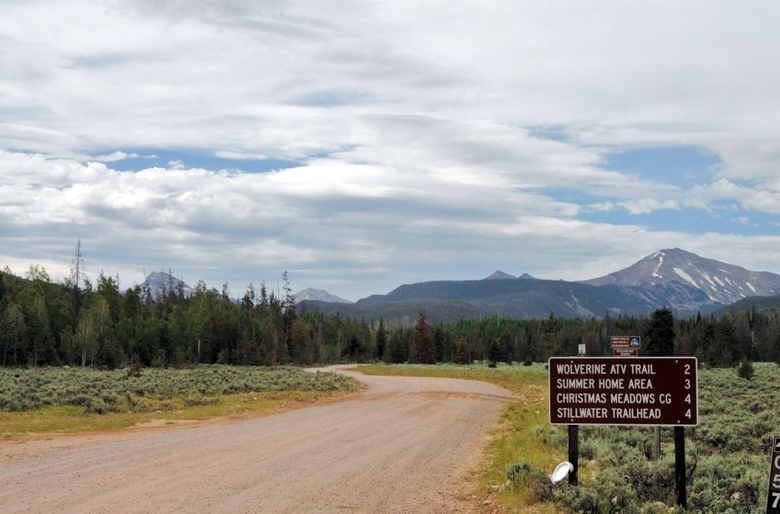
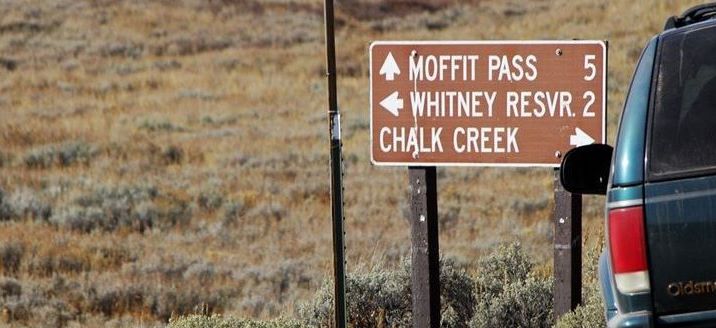
Here we are looking towards Lamotte and Ostler Peaks. To get to this beautiful area, you turn off at the sign to Christmas Meadows and drive about 4 miles to the Trailhead. From there you can backpack to 3 basins: Amethyst, West, and Middle Basins, absolutely gorgeous areas you can see in my Mountainscapes album in the Galleries section.
From here I drove up and over Bald Mountain Pass, of course stopping frequently when I just couldn’t resist.

Below is the SPOT Tracker Google Earth view of my travels on Trip #3.
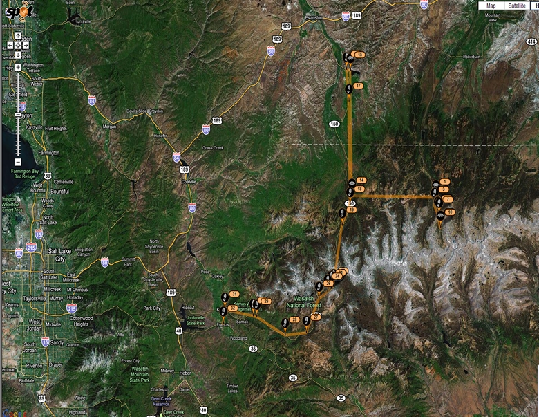
To the east is the North Slope Road leading to the area of the backpack. The tracking line from the North is from the Wyoming area of Bear River Town following the Mirror Lake Scenic Byway that traverses the western end of the High Uintas and continues down to Kamas, and then to Francis where it ends.
If all goes well I will be exploring the Hilliard Flume, and searching for remains of Bear River City.
Before I leave I will have before this article the SPOT TRACKER link to where I will be on that short trip. On Saturday morning I will make my satellite phone call to KSL OUTDOORS RADIO, most likely from a camp along the Bear River.
In the meantime, if you want to learn some about the Tie Hackers, go to this article by clicking on:
TIE HACK HEROES. It is a what I call a photo essay. To get the story you should go from picture to picture reading the captions and comments.