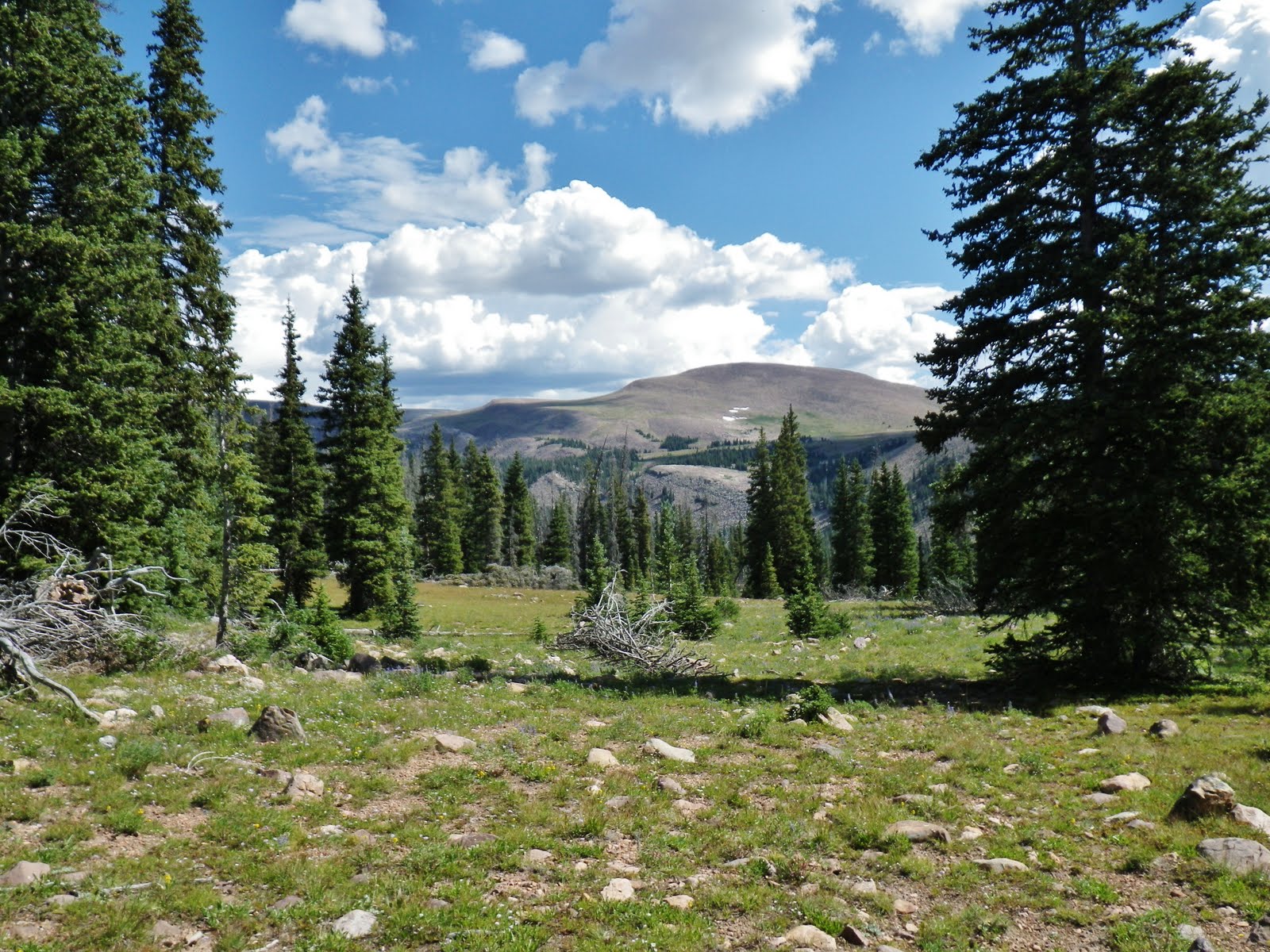
keep your eyes open and enjoy our beautiful outdoors.
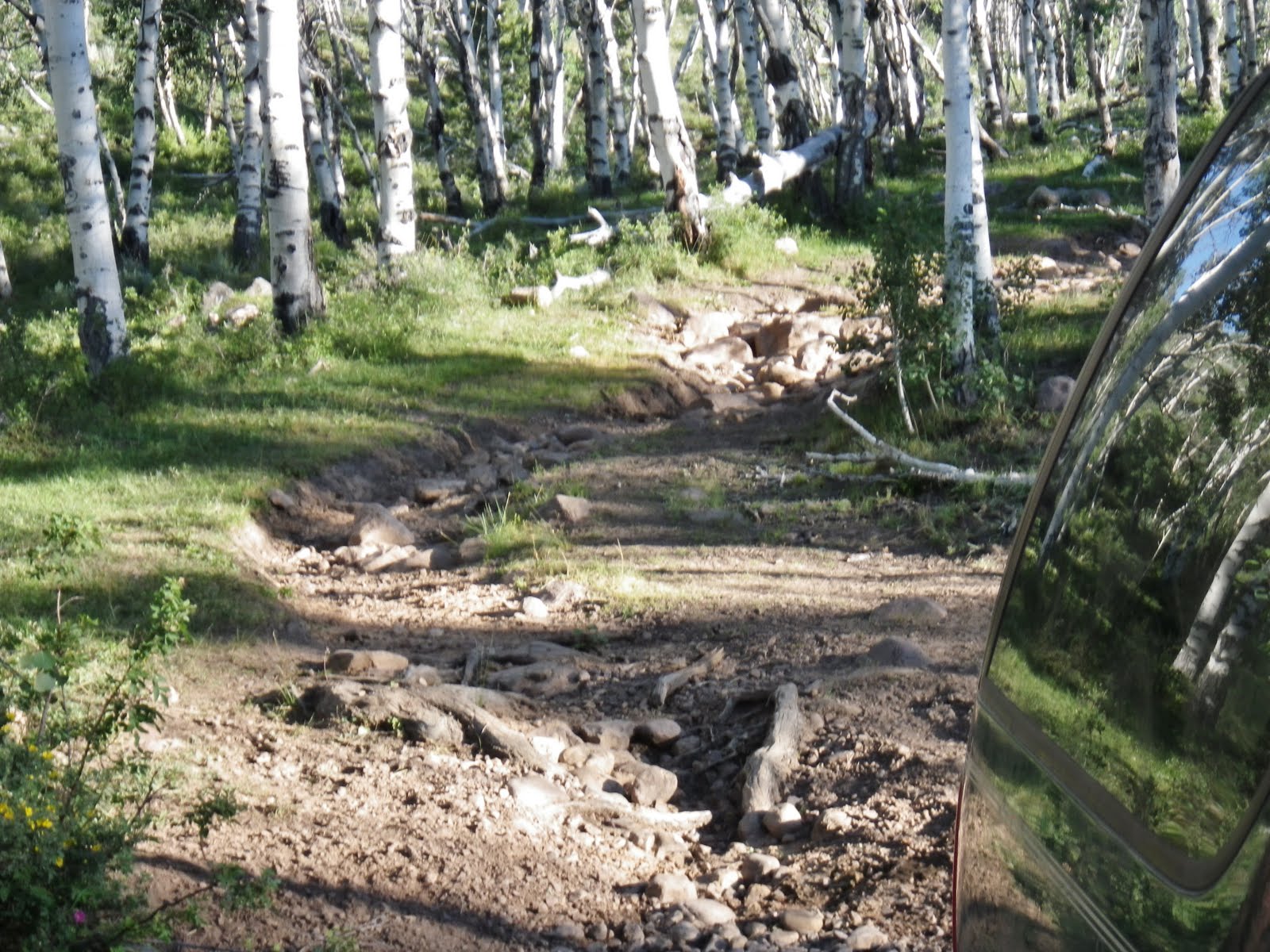
Then it got a bit too tough for my Olds Bravada. With a big pickup you can carefully get through this bad section and continue another 3 miles.
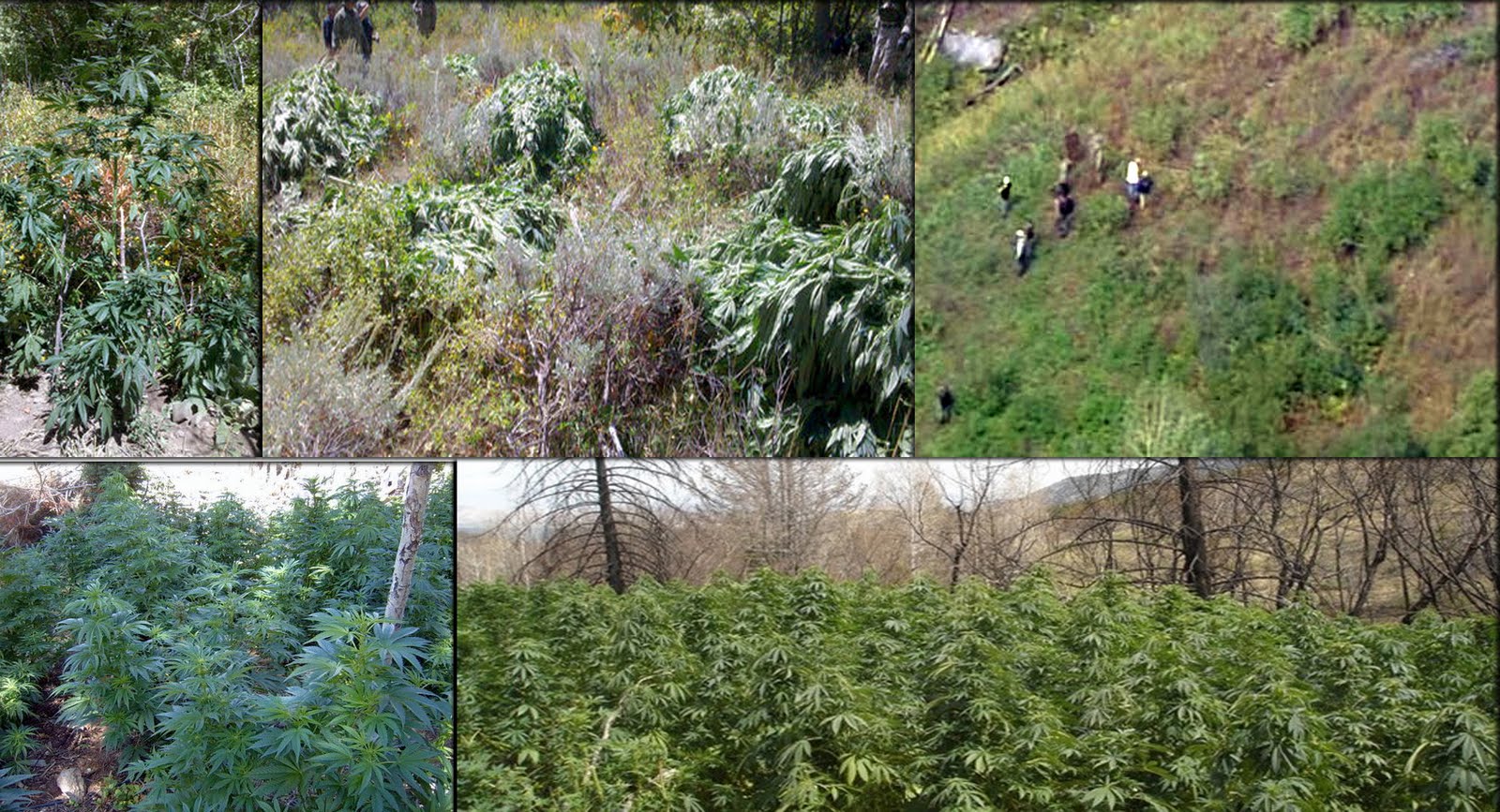
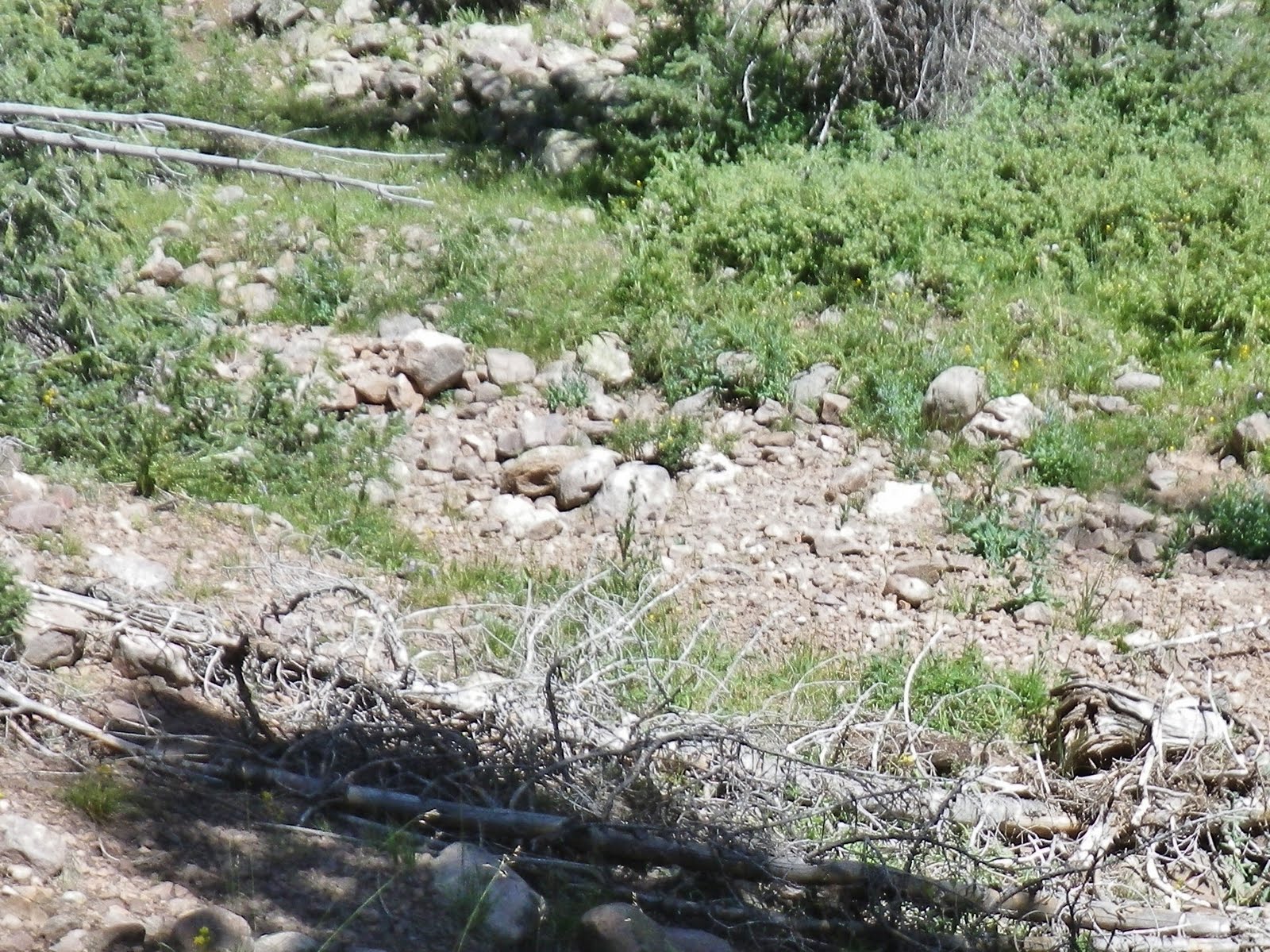
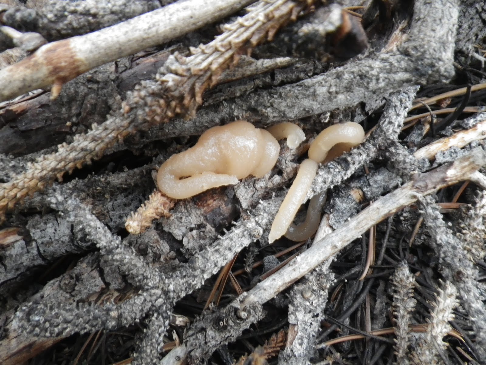
As I parked to prepare to hoof it, a 4×4 pickup came down. I approached the two fellows to say hello. They spoke with a heavy accent and were not backpackers, hunters, fishermen, nor ranchers checking on their cattle. In recent years many marijuana farms have been found in remote areas of Utah, and I suspect that these guys were scouting the area looking for some good locations for such activity like you see below.
So, Forest Service, be alert, and if any of us see something suspicious we should report it to authorities.
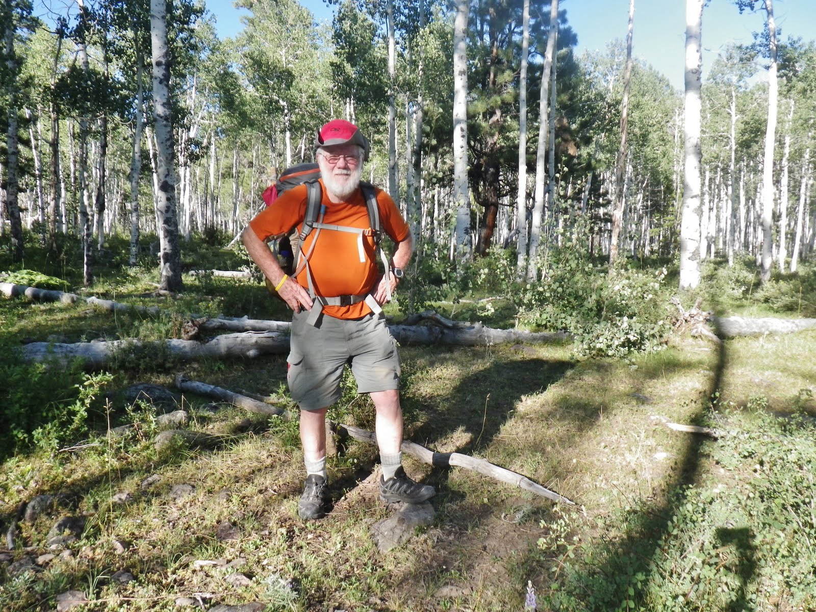
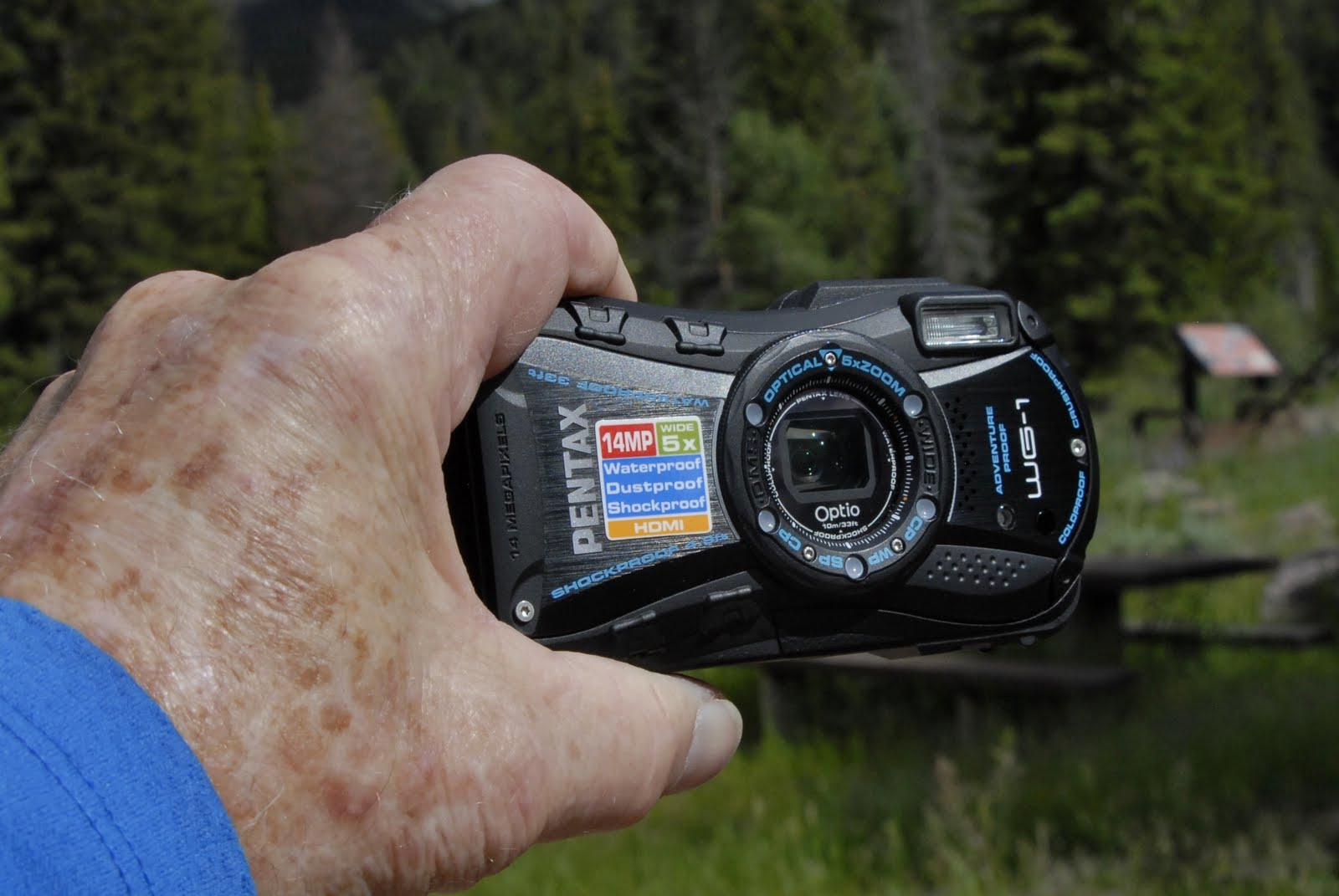
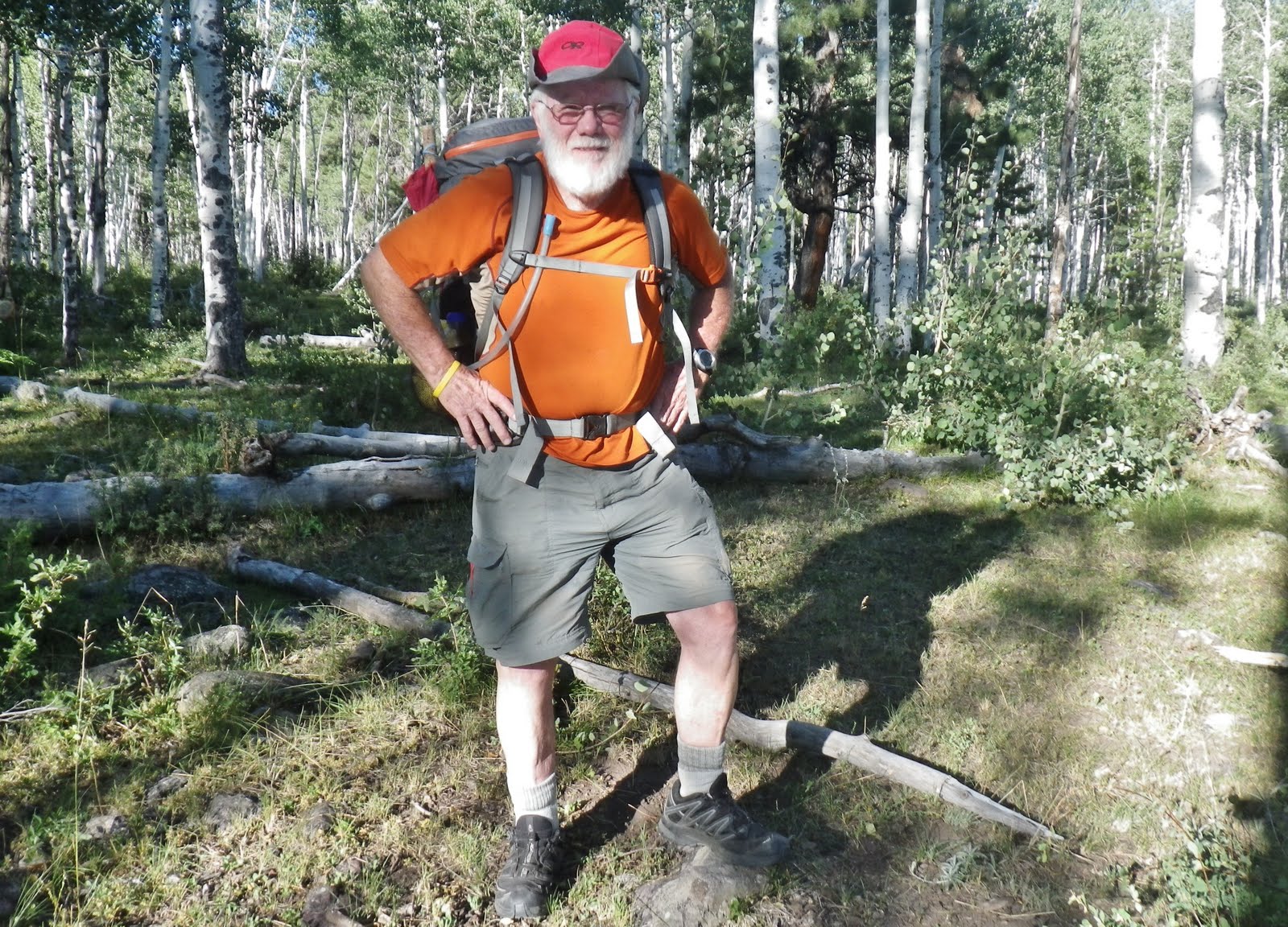
I was to go “lightweight” like never before.
My 13 lbs. of photographic equipment, and 2 lbs. of Colt Defender remained at home.
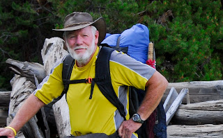
My tiny waterproof Pentax Optio W-1 would do the photographic chores.
All the photographs in this slide show were taken with this camera.
My “basic pack,” pack, sleeping quilt, pad, tent and poncho came to 7 lbs.
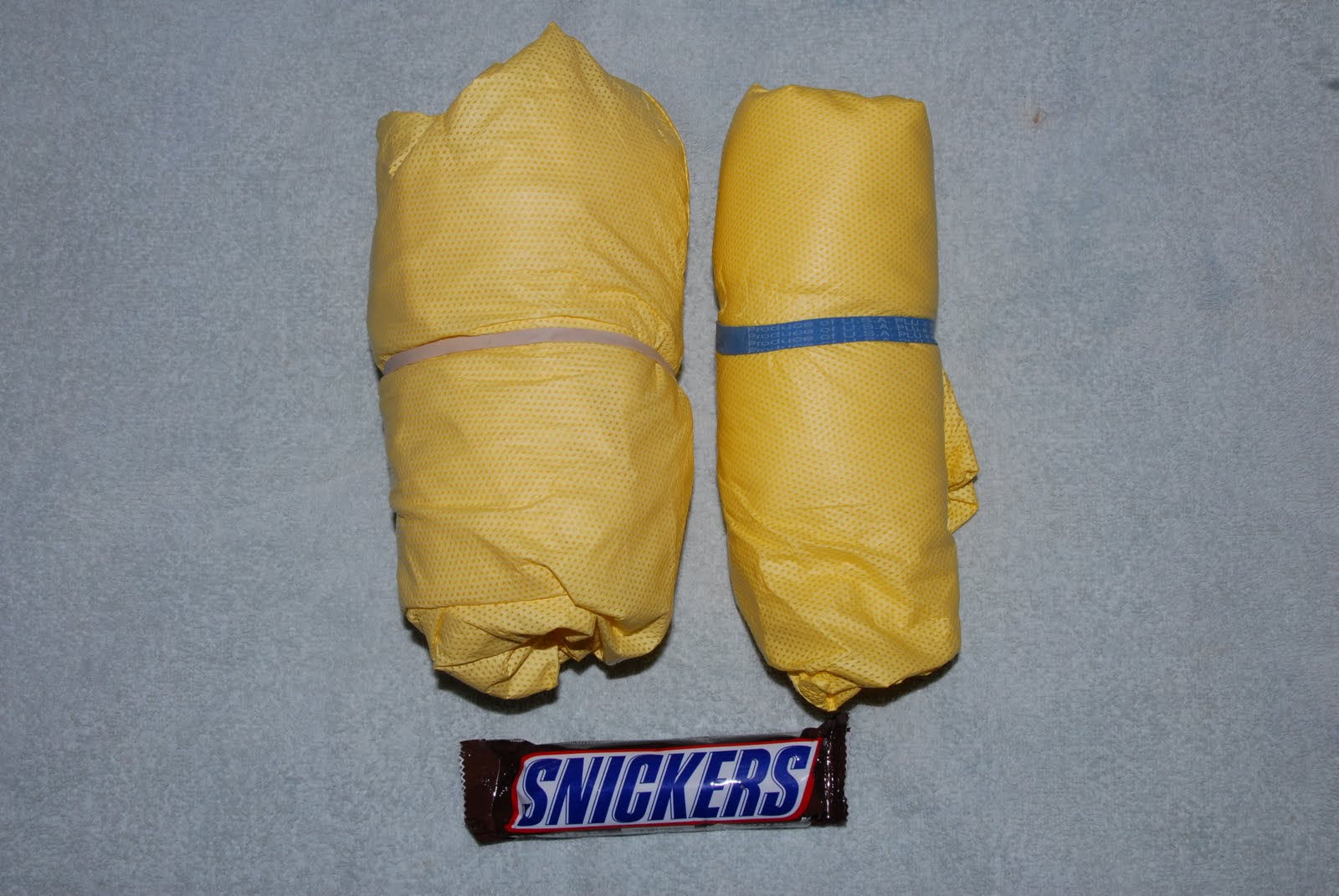
For rain-gear I used this inexpensive and lightweight set–about half the weight of my usual rain parka and waterproof pants.
Many of you know of the incredible problems I have had with my feet and ankles (“football ankle”), and also what for years was my “motorcycle knee.” In 1994 I was advised by a specialist to “forget backpacking and running in half-marathons,” but I was stubborn and found a way to even do more–much more! To see a summary of this history and the solutions I found go to: WHERE DO I GET MY ENERGY?
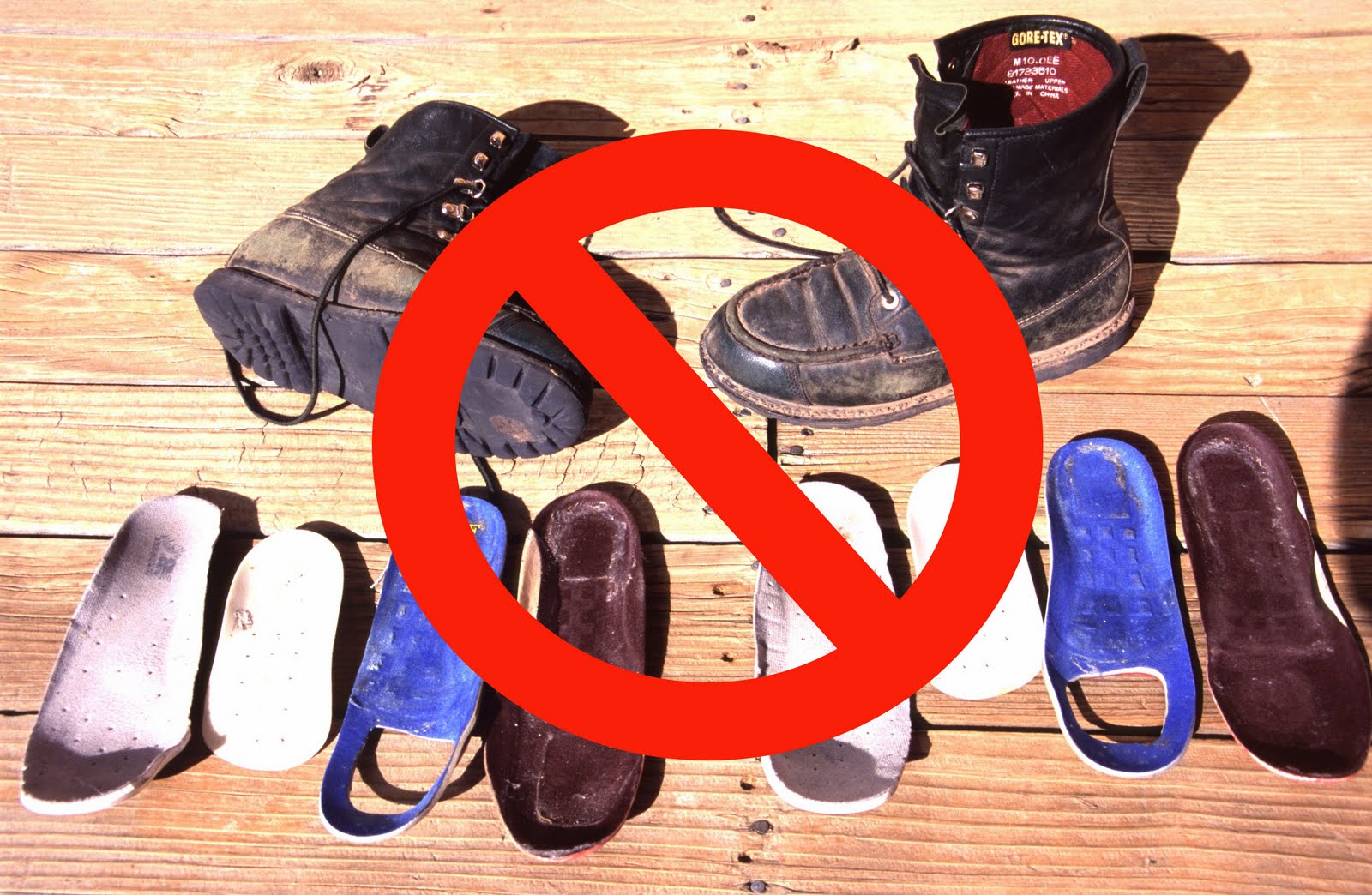
Eventually I was able to reduce the inserts and go to a very lightweight boot that gave me the ankle support I still needed for a couple of years. Then it got much better.
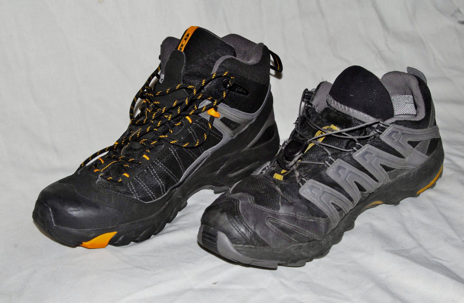
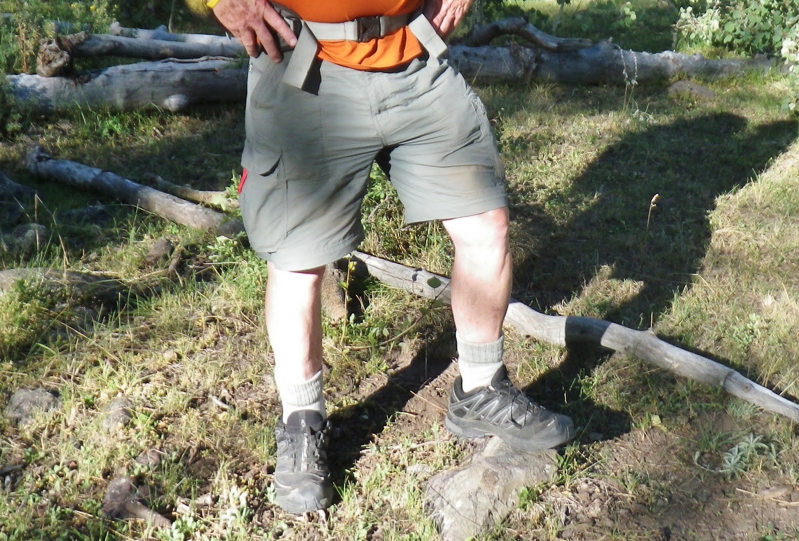
For the last two years I was able to go to a waterproof Salomon low cut lightweight boot you see here on the left. For this trip I went with my waterproof Salomon Mountain Running Shoes. This saved me 5 oz. per foot of weight which you might say is not much, but in a half marathon you would be lifting 812 lbs. less weight!
So I was ready to go with my Salomon Trail Running shoes that worked wonderfully on this trip.
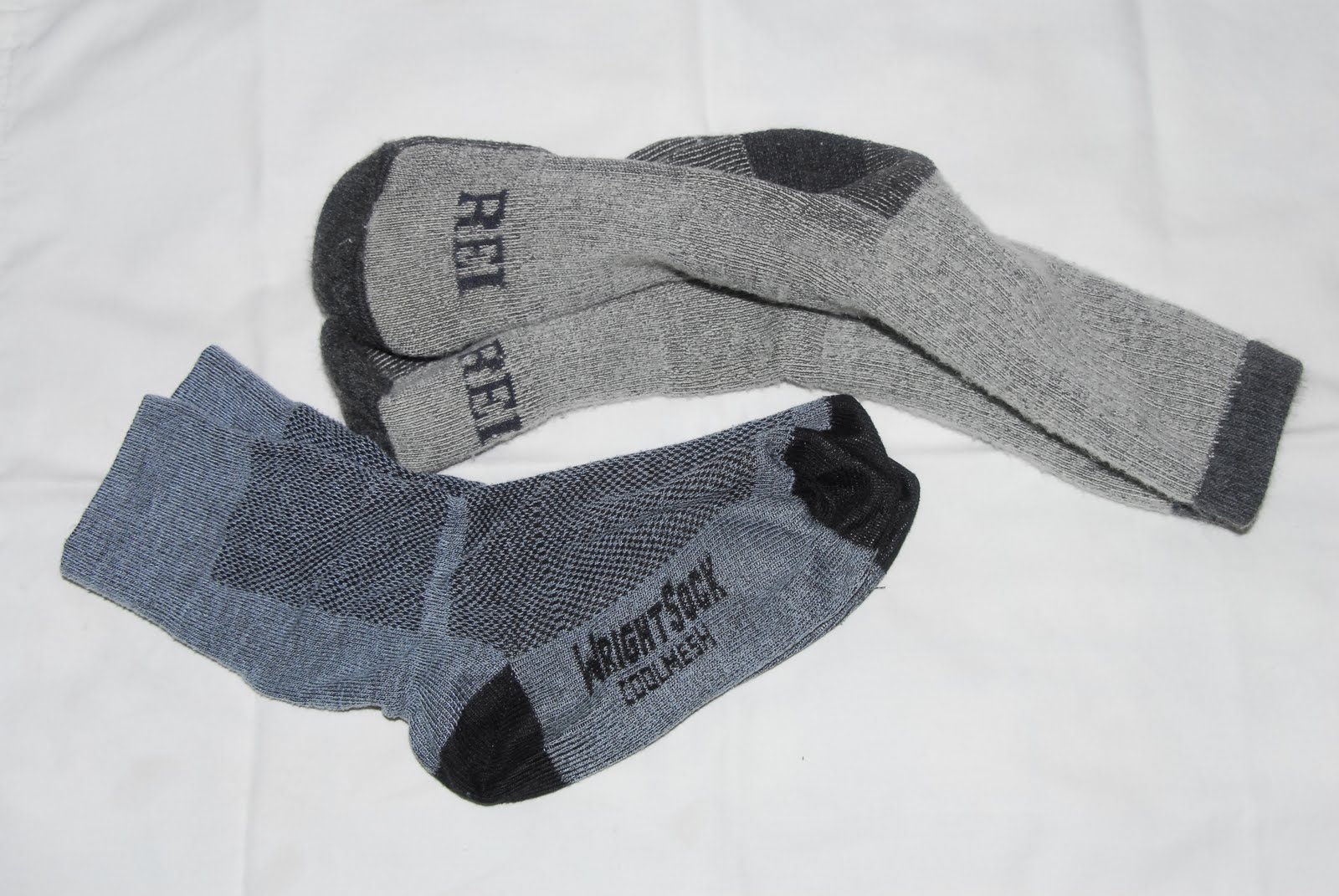
Of course I use the best quality socks, always with CoolMesh WrightSocks, that prevent blisters, next to my skin. Since I have used these for hiking and running I have never got a blister which previously was a frequent problem.
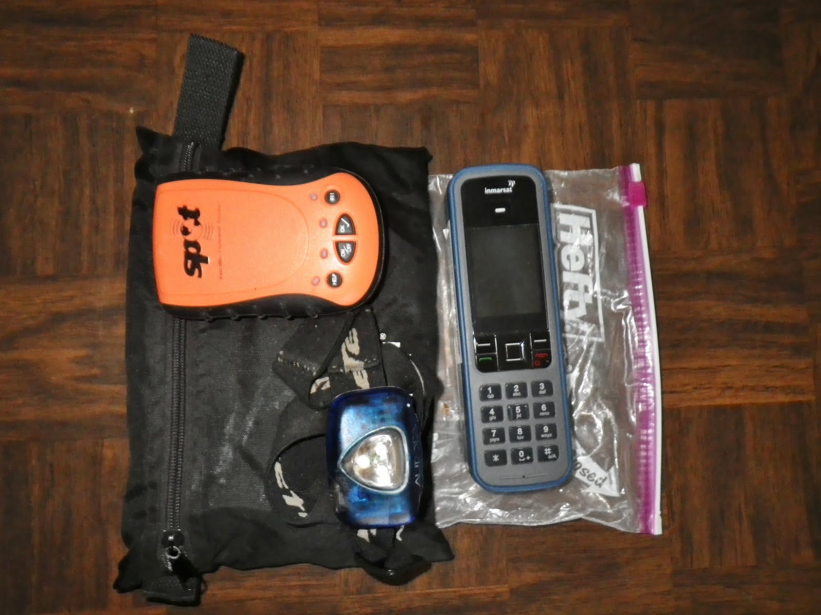
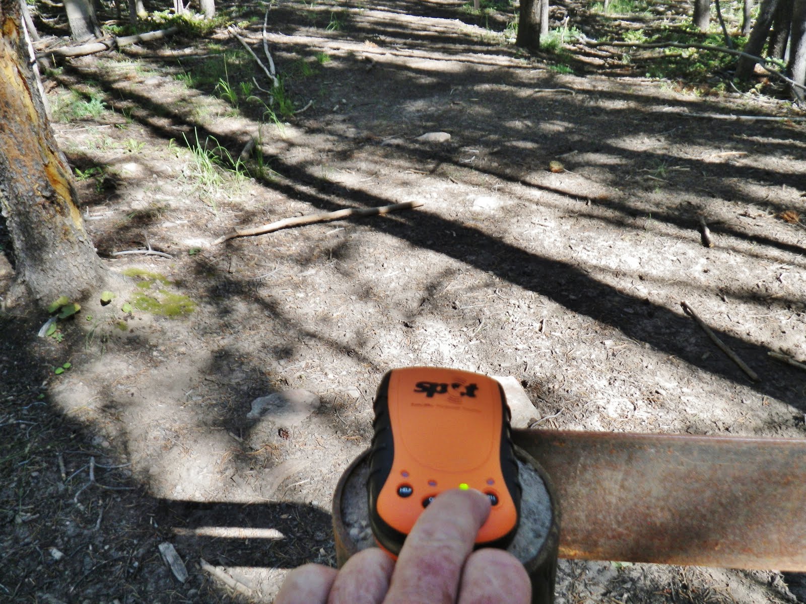
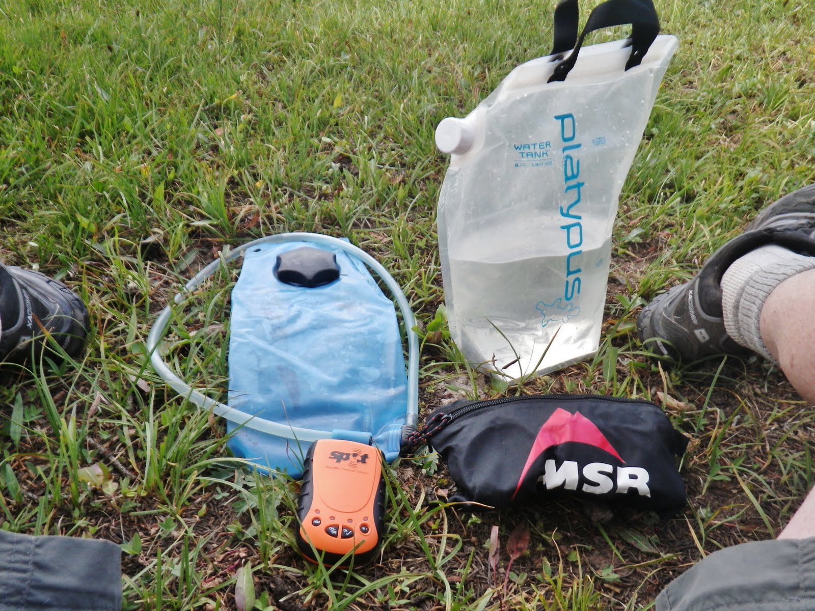
For me these essentials are as important as my pack or shoes. First, the SPOT Personal Satellite Tracker
The 64 year old Australian lost in the Uintas had a Personal Locator Beacon, but he never used it. If he had of had a SPOT Tracker using it daily as I do, the outcome of his story would have been very different.
Then you see above the satellite phone provided by Russ Smith from Skycall Satellite, which I use to call my report in to KSL OUTDOORS Radio each Saturday morning, and of course for any emergency. You can rent phones and SPOT trackers from him. They are worth their weight in gold! Every group should have these crucial life saving items–THE BARE MINIMUM BEING THE SPOT TRACKER.

Ready to go with around 30 lbs. of equipment, food and water. What a snap this was going to be compared to my trip to Swasey Hole when I had 54 lbs. (of course for 9 days), and my 83 lbs. when I left on my 27 day expedition in 2003–which 8 years ago I was able to handle (see the 1,000 MILE WHIRLWIND BACKPACK slide show if interested) . For the 9 day trip I had 24 more pounds of weight. In a half marathon if you are lifting 24 more lbs. with each step that adds up to a whopping 624,000 pounds!!!!
If you are only 10 lbs. overweight you would be lifting 260,000 extra pounds during the race. Maybe we should focus a bit on having the right weight unless we are content with being couch potatoes, and not living a long, active life.
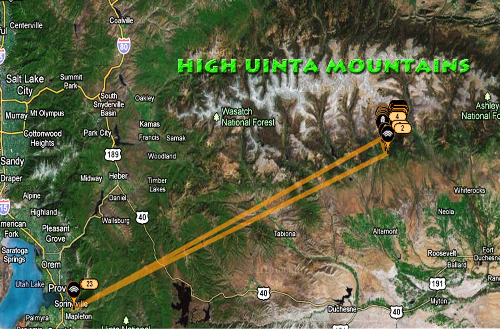
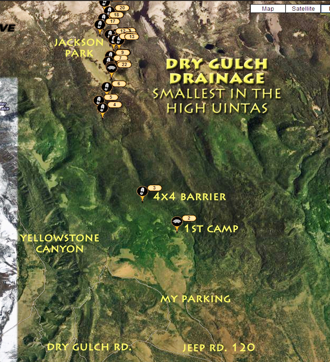
Above is the Google Earth view from my Spot Tracker website showing what I was to do in the next few days.
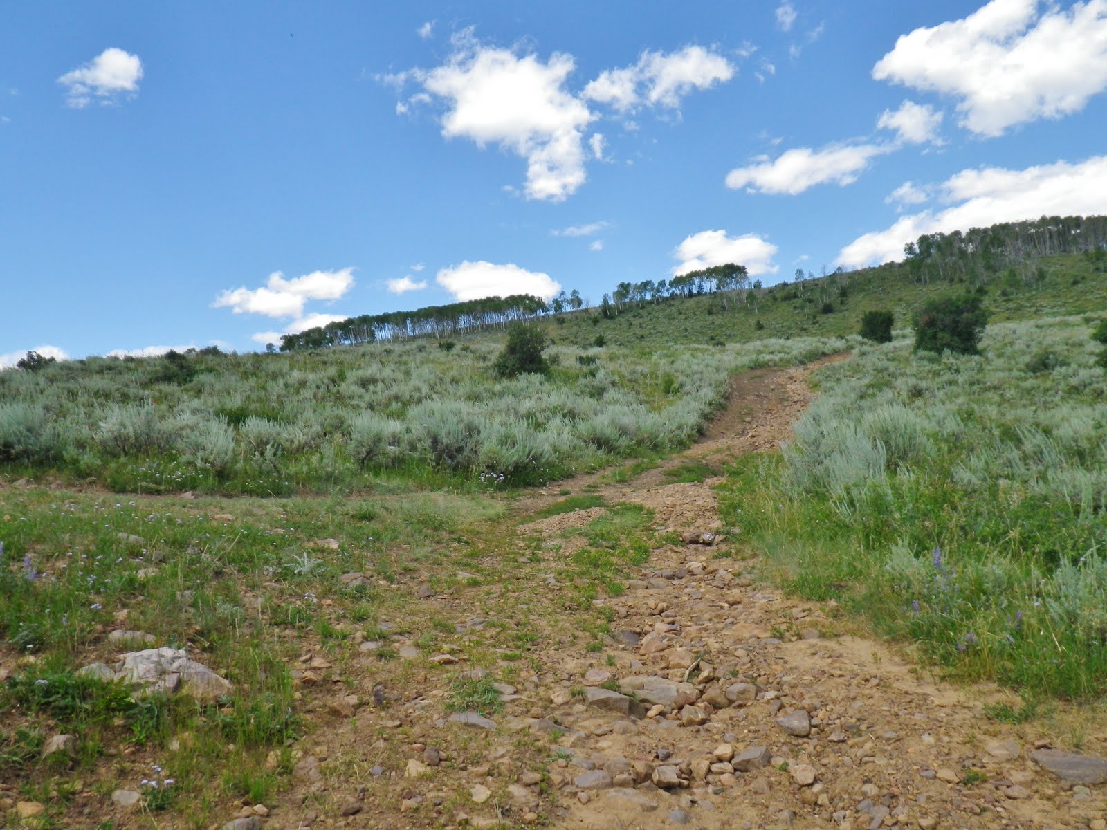
With a good 4×4 pickup you wouldn’t have to hike up the steep lower reaches of the route.
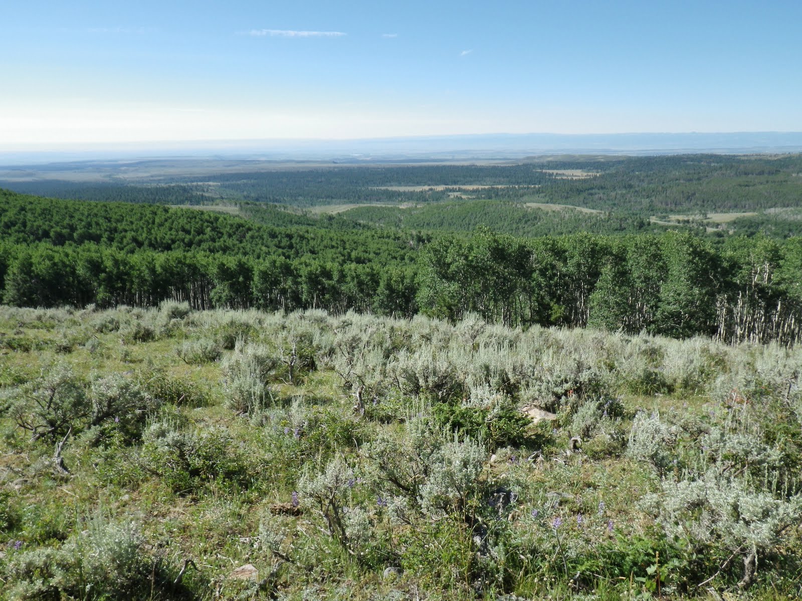
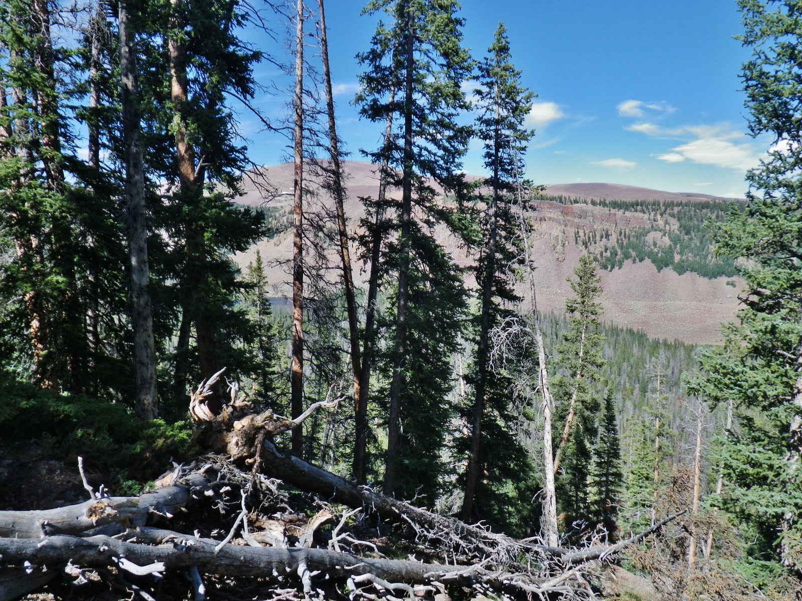
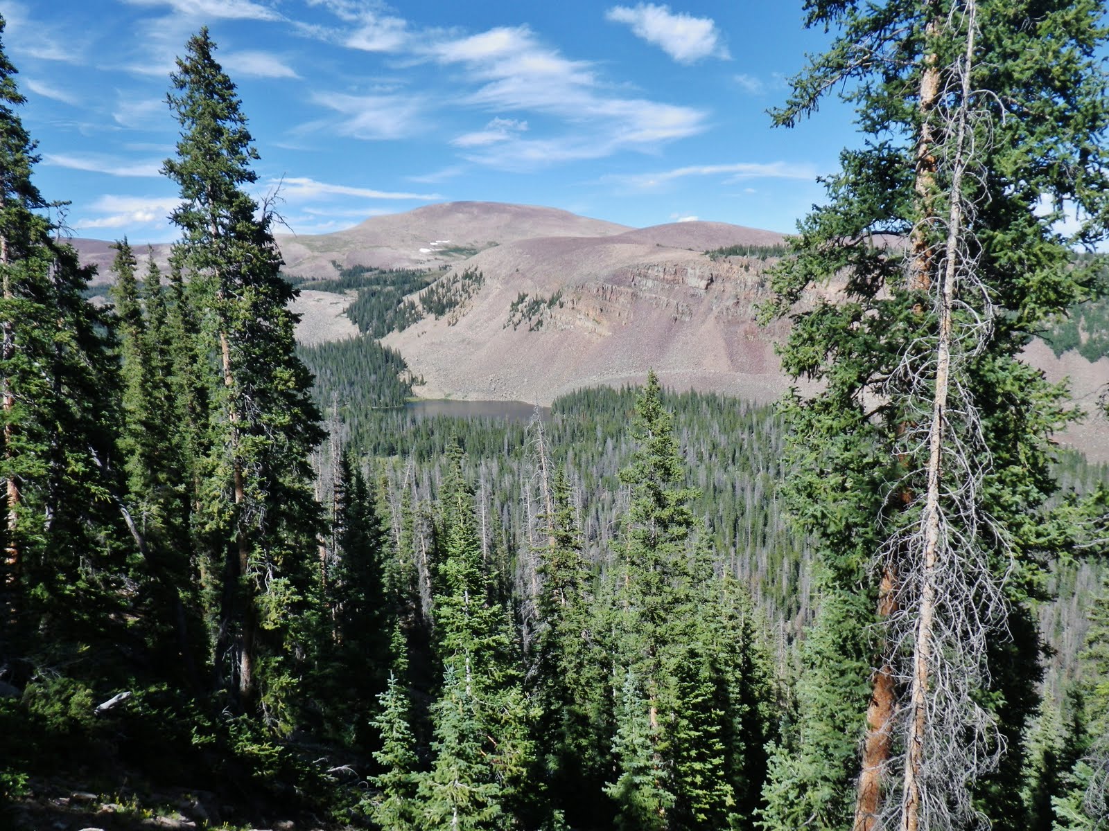
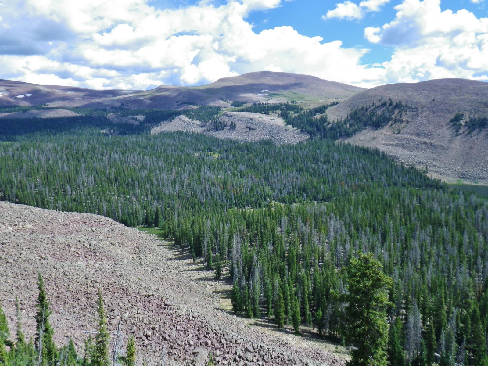
Looking back at the Uintah Basin.
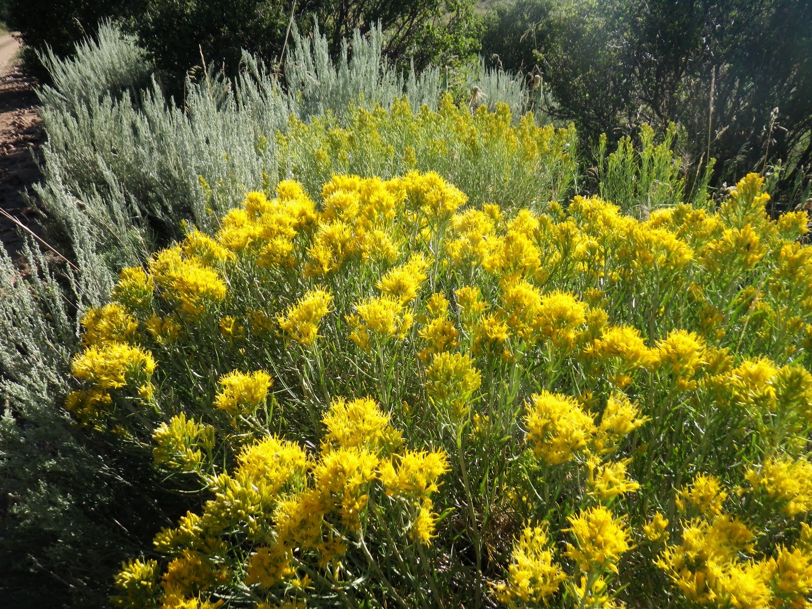
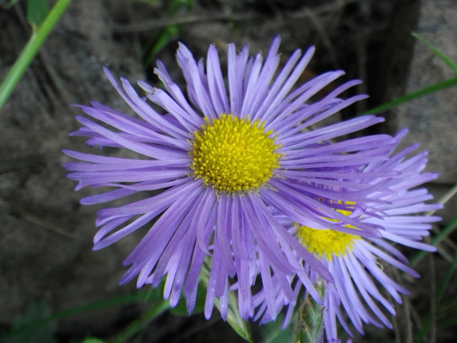
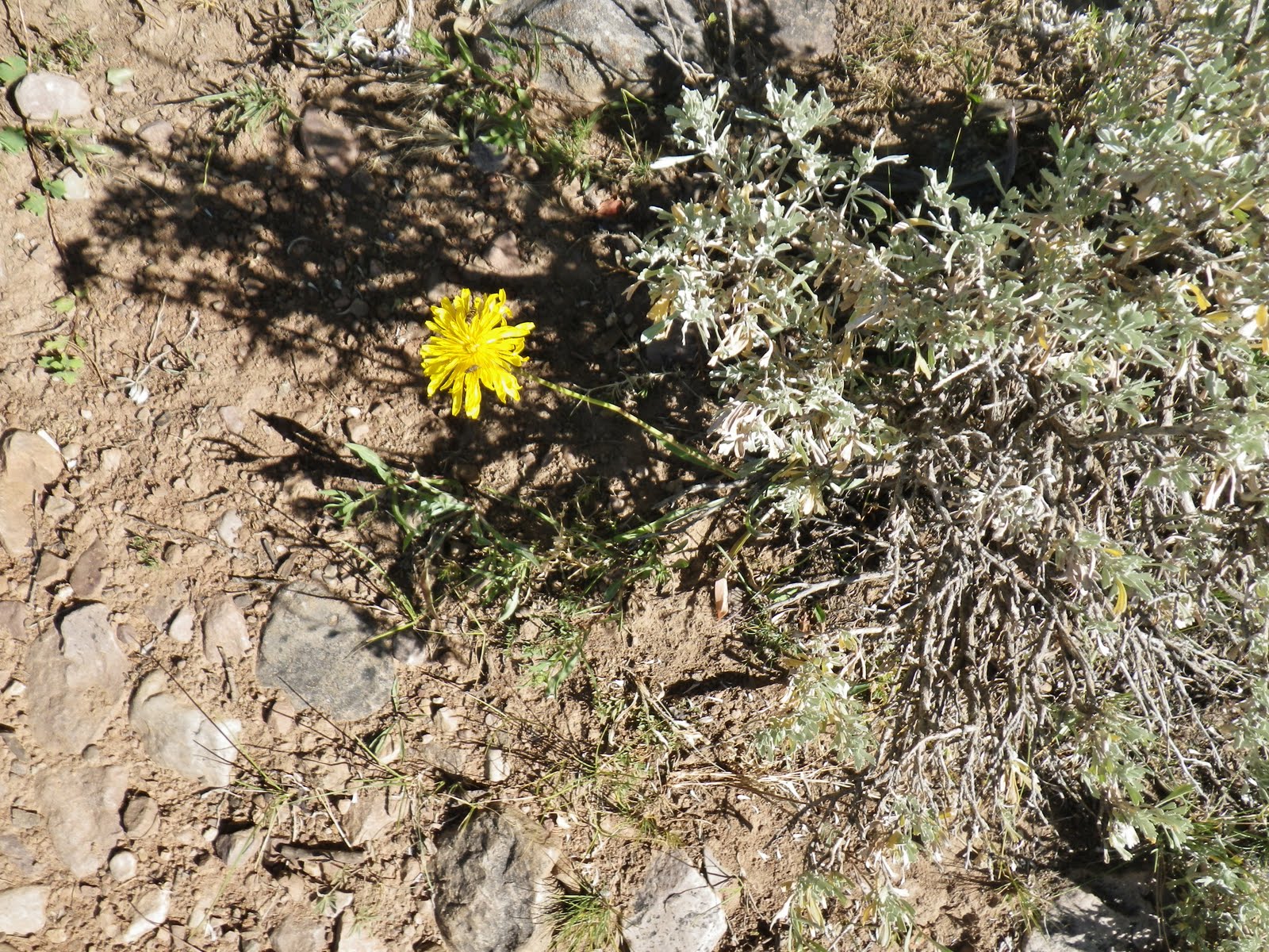
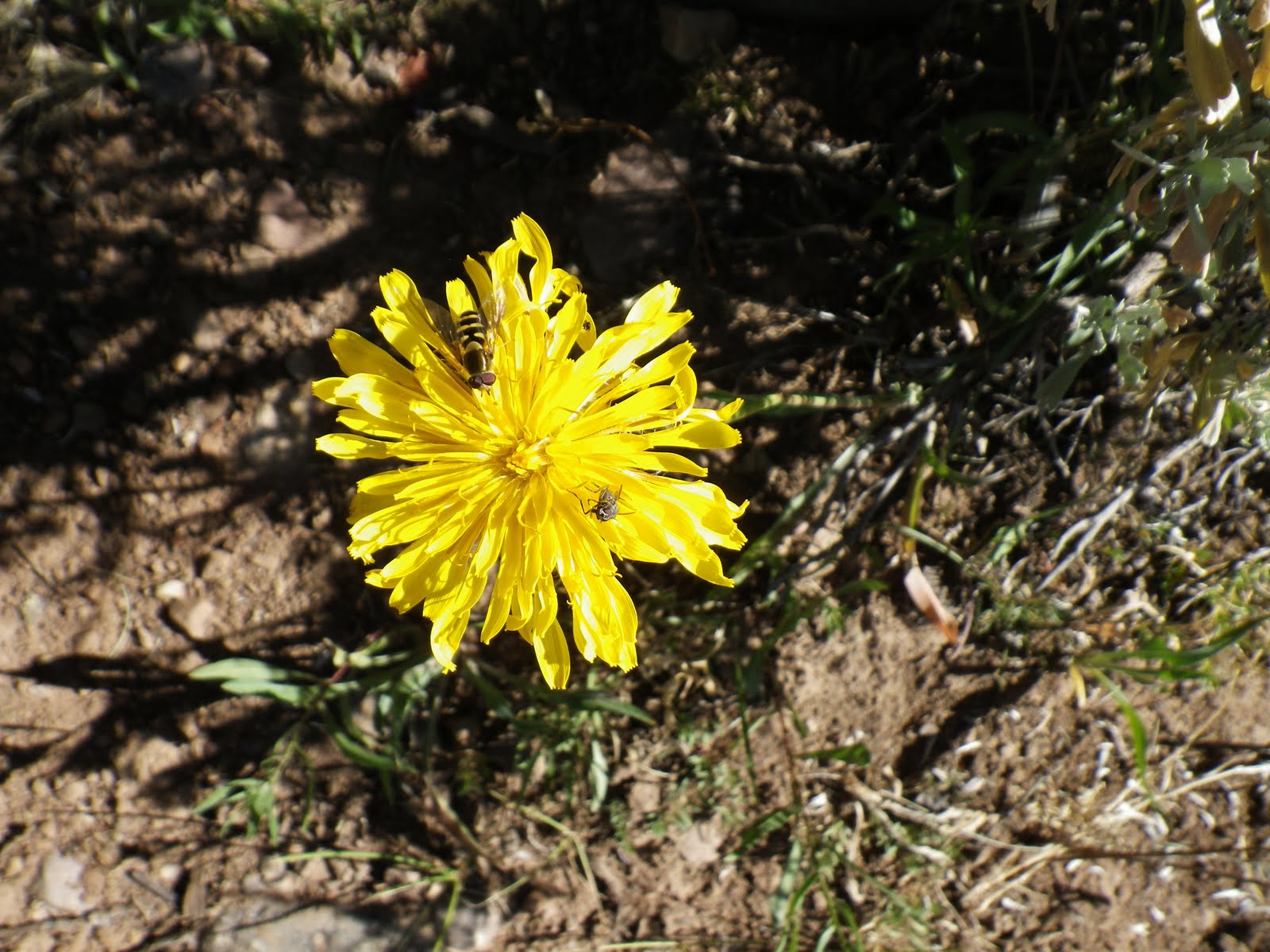
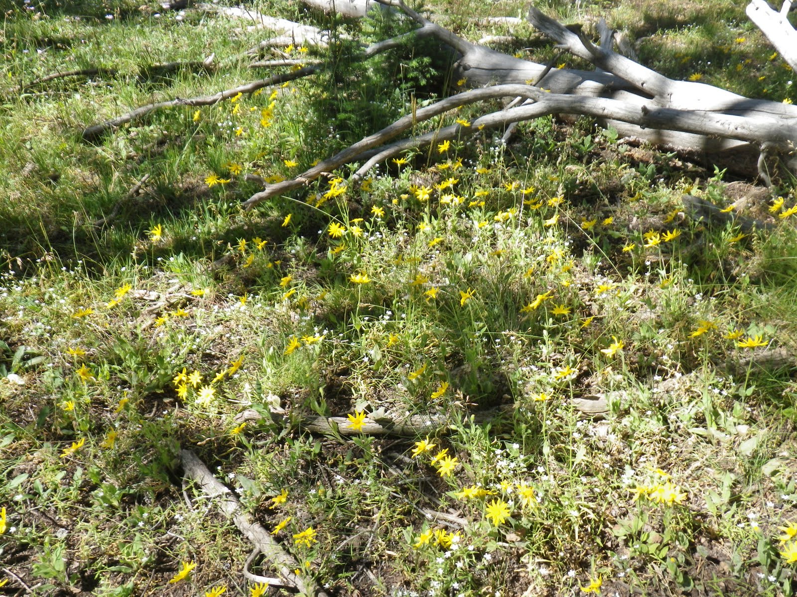
False dandelion along the way. There are also true dandelions along the trail which you can eat as they are the “spinach of the weed world” and even more nutritious.
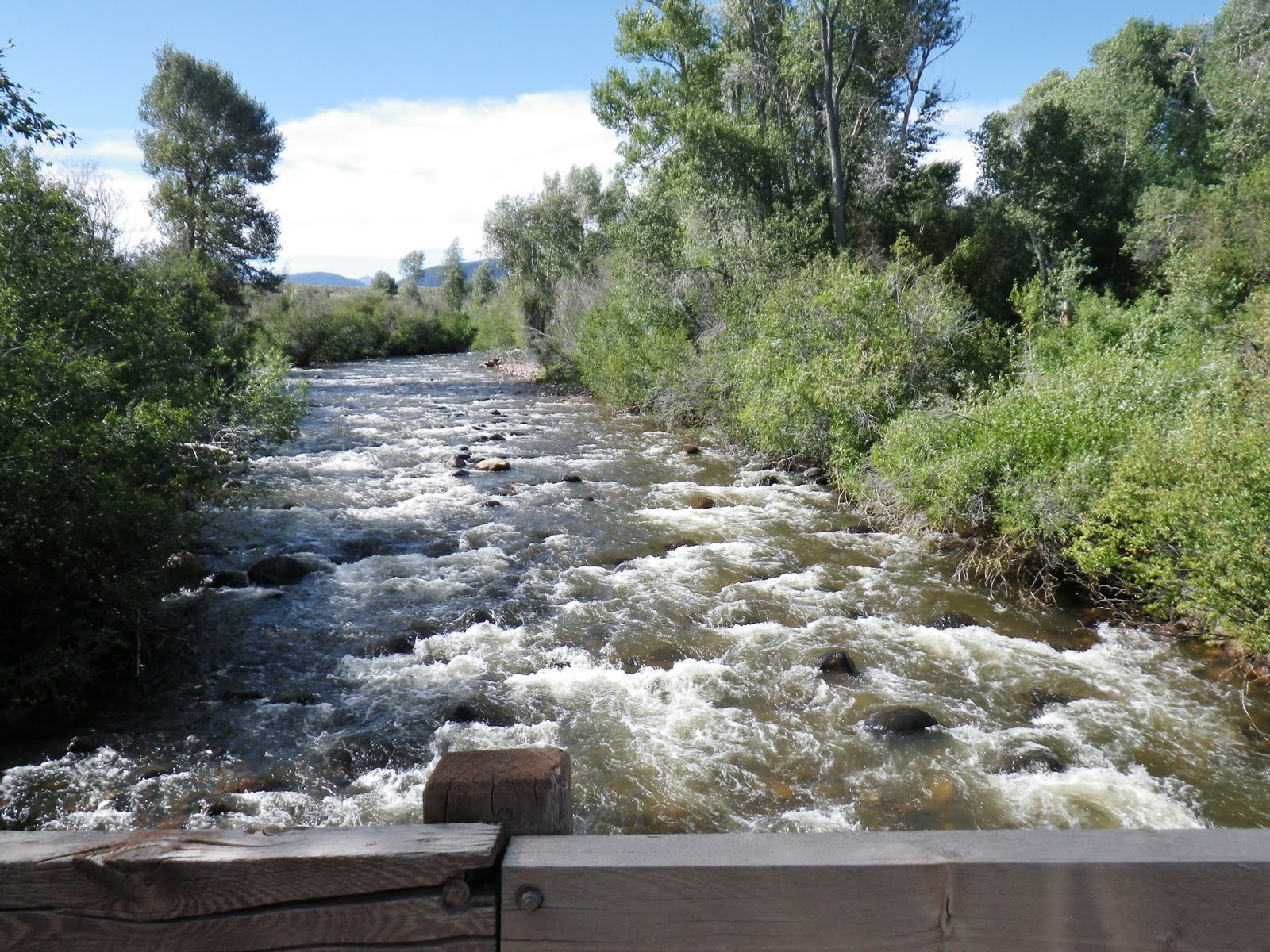
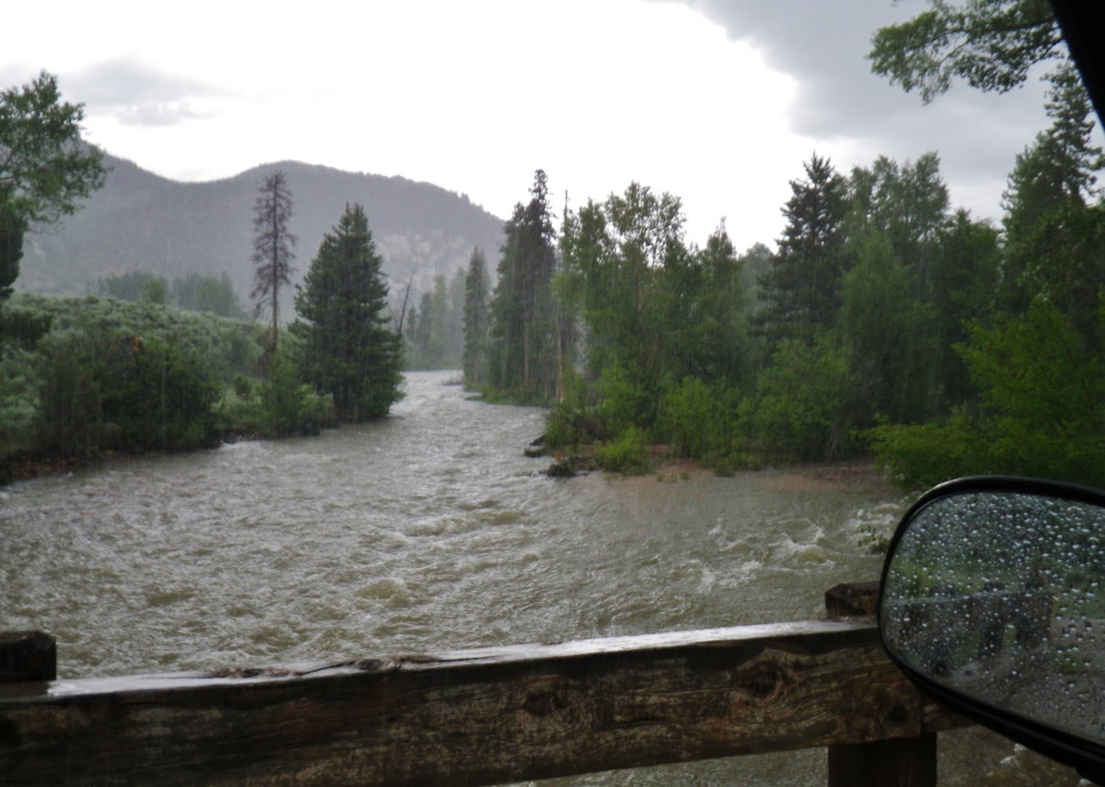
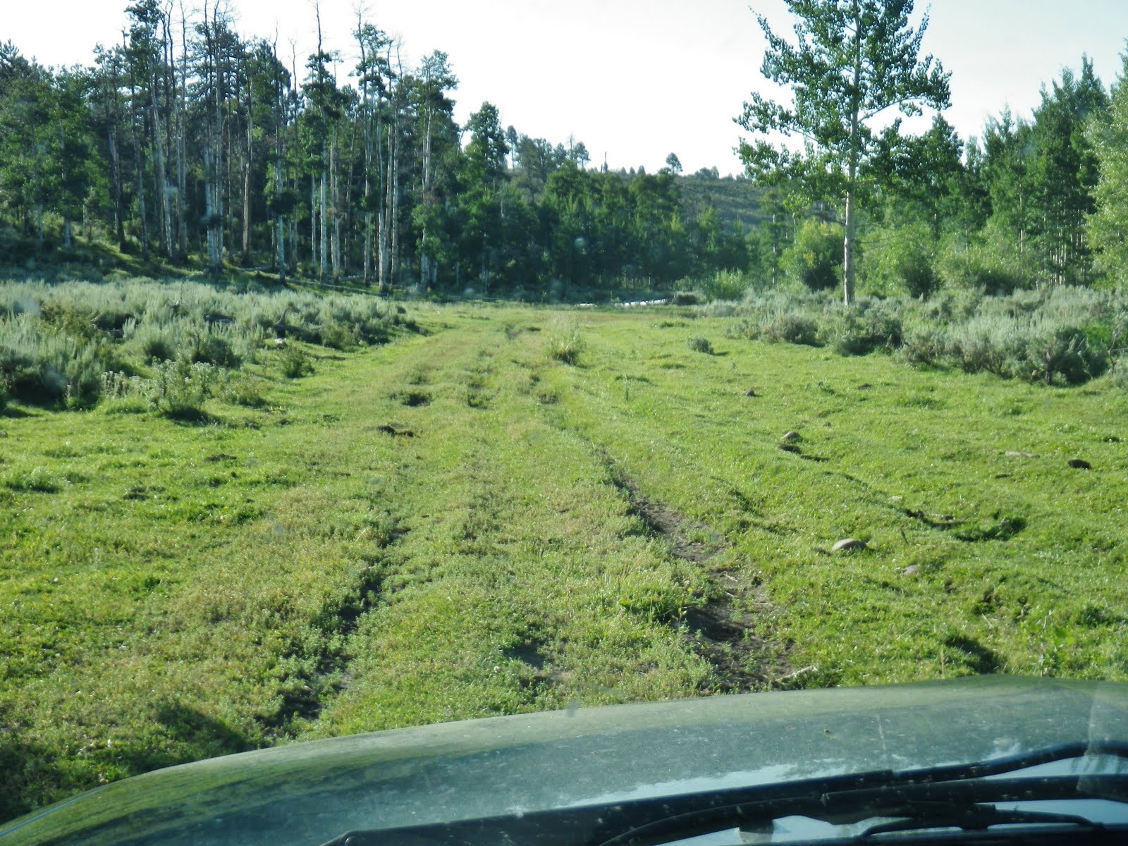
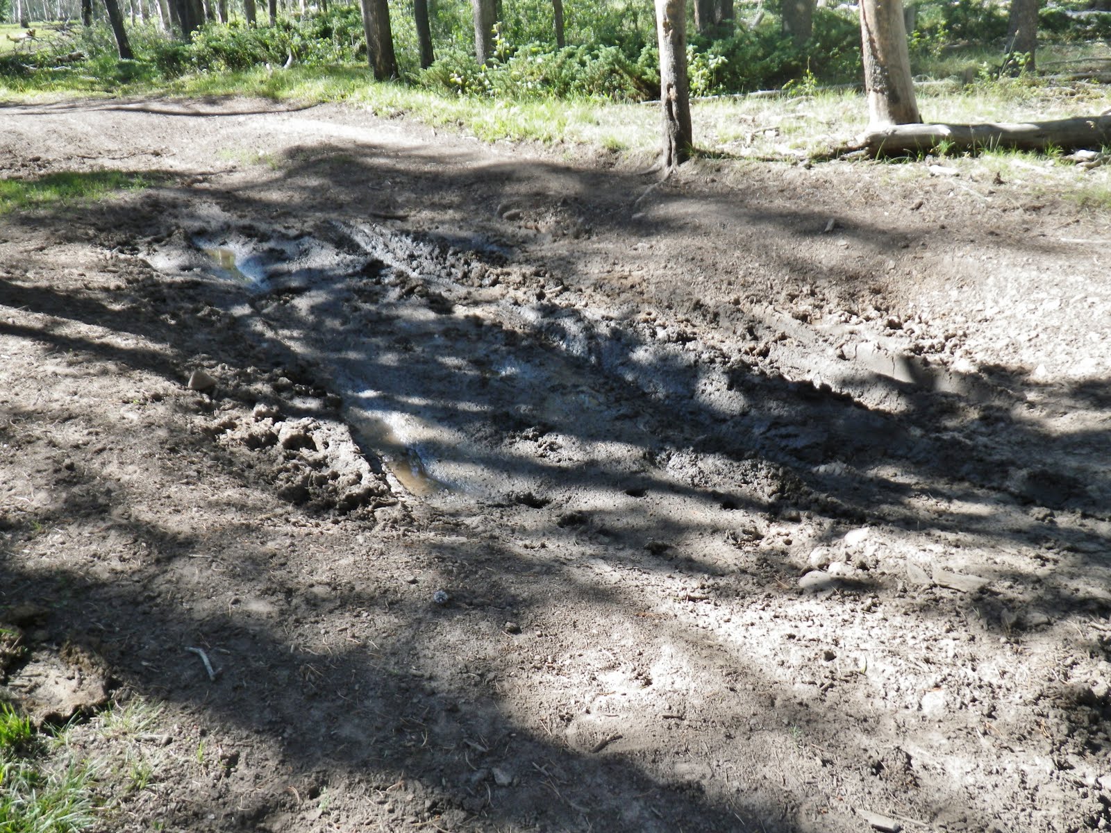
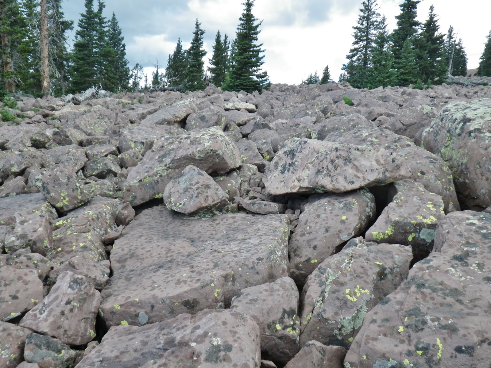
If it’s rainy there are spots that would be messy.
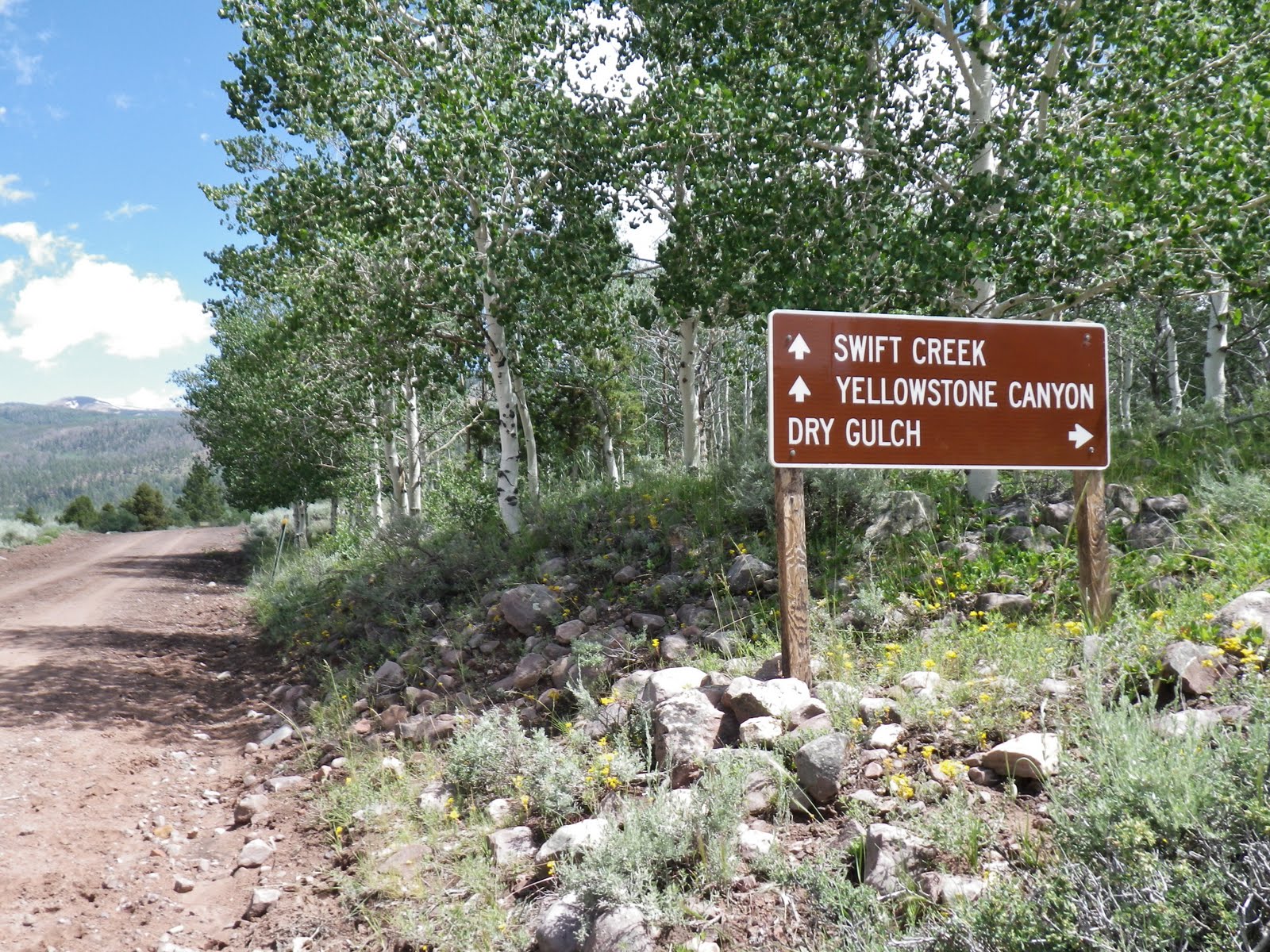
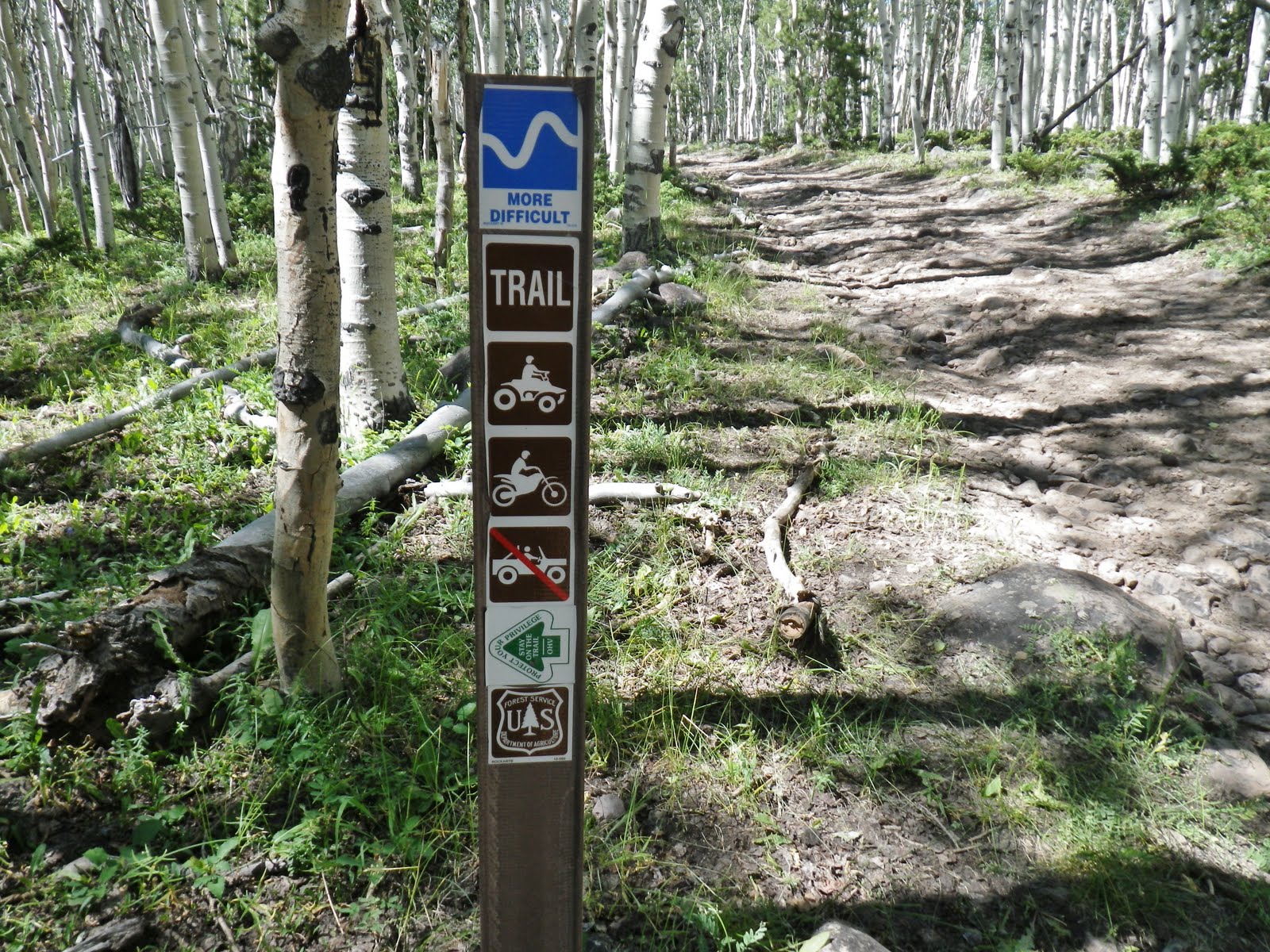
We are not in the Wilderness Area and so there are ATV trails in the area.
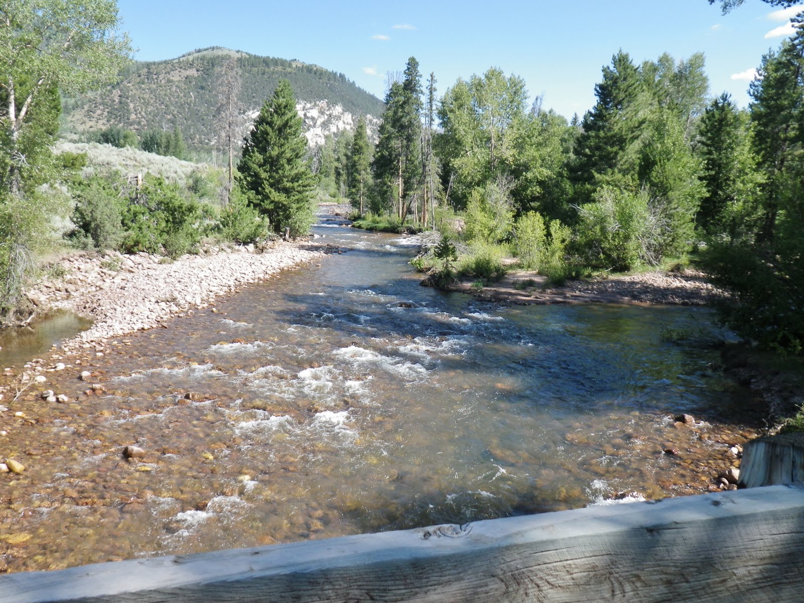
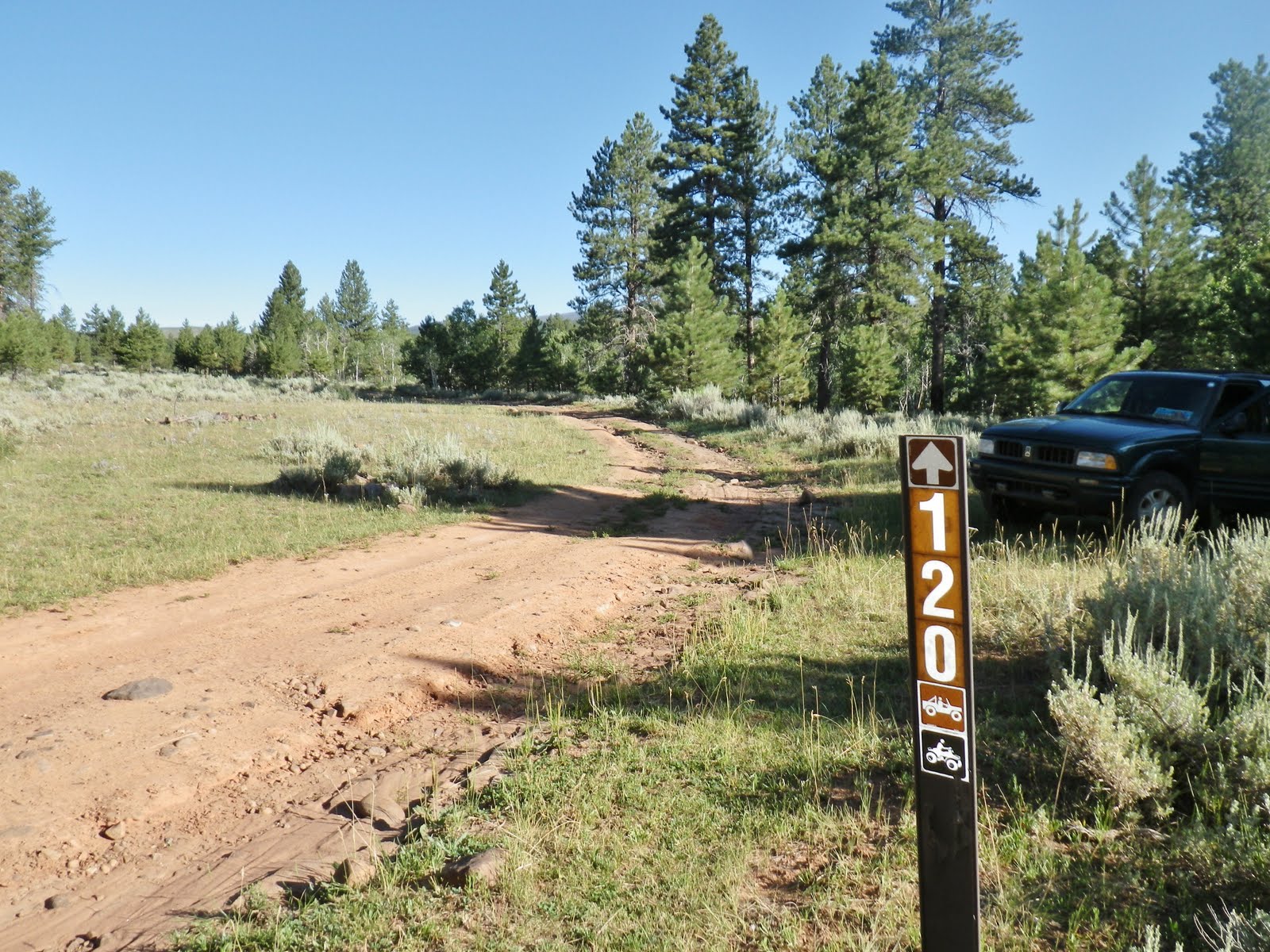
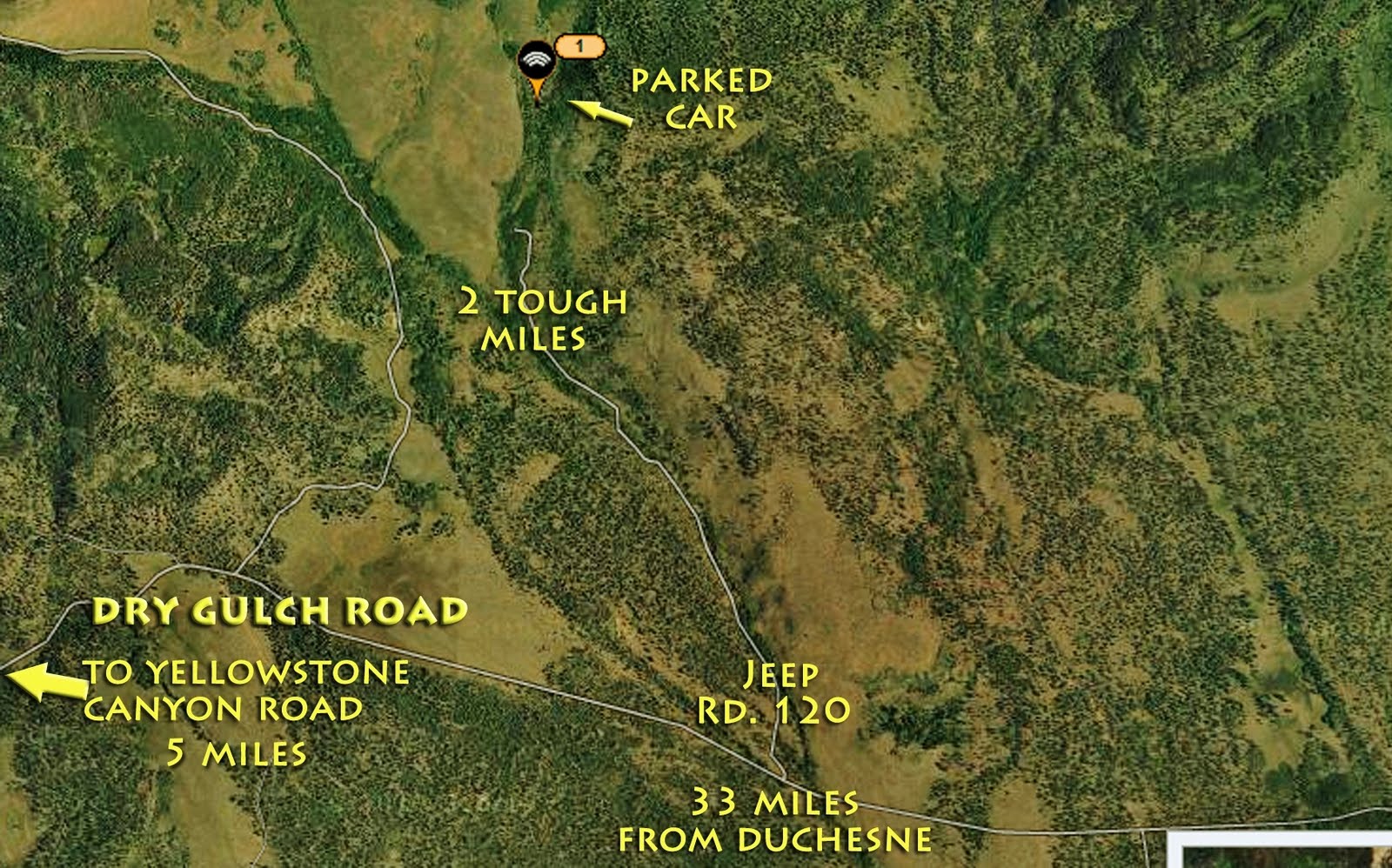
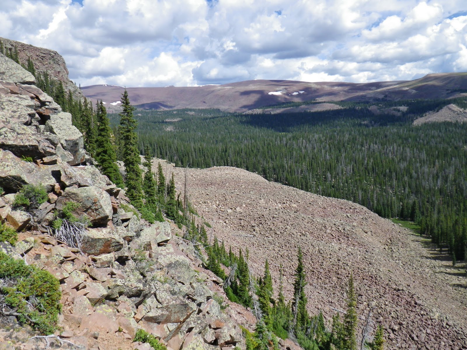
Then you come to the barriers where you have to park if you are lucky enough to have got here in your 4×4. To this point I have hiked about 3 miles with no water available anywhere.
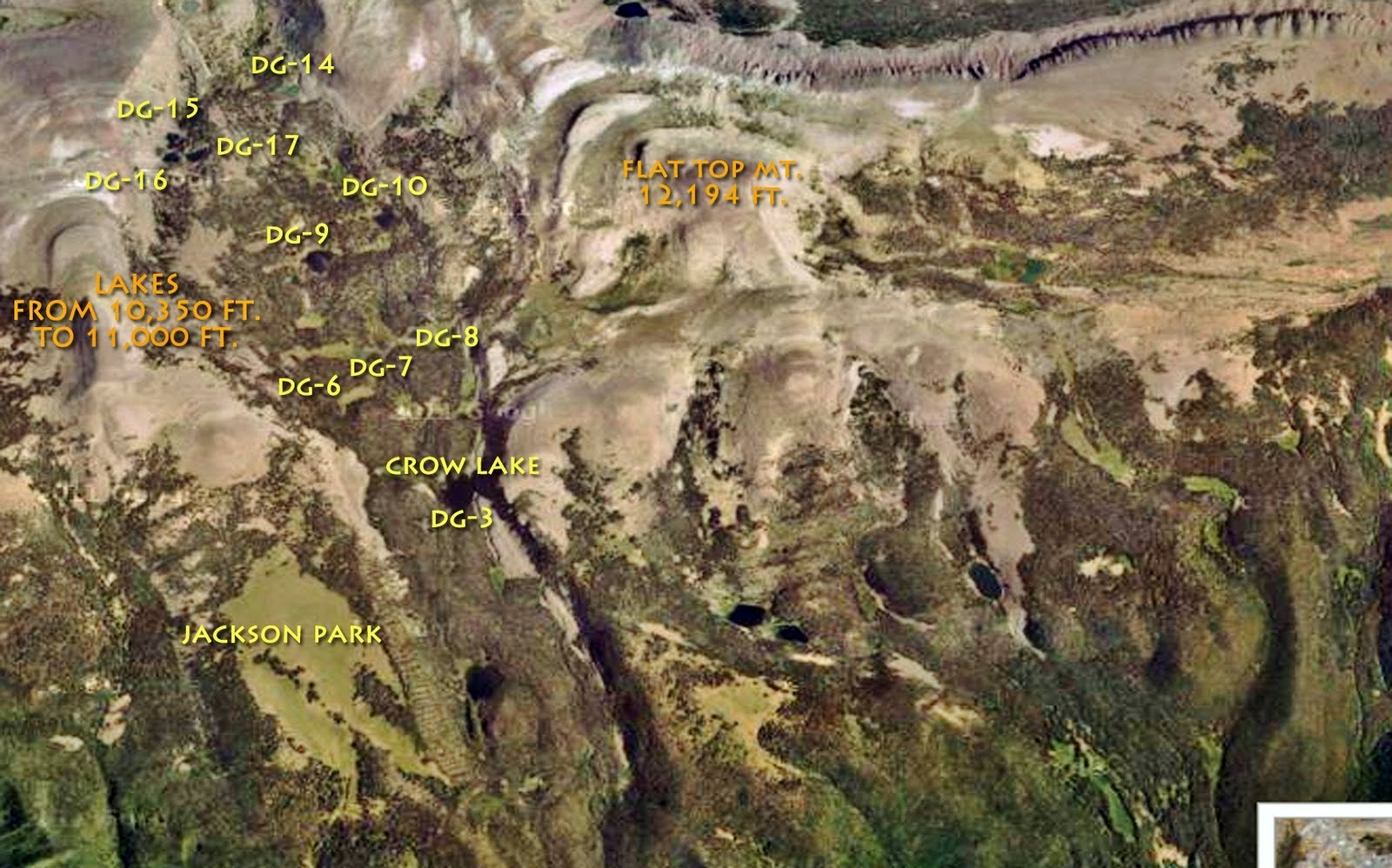
My friend Ted apparently came up here 35 years ago when you could drive all the way to Jackson Park. This old jeep road even went all the way up to the Timothy Lakes years ago when dikes were built on some of the lakes to increase their storage capacity, and with head-gates release the water when needed down in the basin.
To create my “bread crumb” trail and pinpoint coordinates, I hit the button at the barriers becoming Track #3 on the Google Map. From here I had about 3 miles to go to Jackson Park.
“GLORY BE TO THE LORD!” ATV’s are prohibited! I hate those suckers–sorry about that.
I was on an elk hunt in the Blind Stream area of the Uintas a few years back. I struggled up the mountain with backpack, and camped. The next day I persisted up the mountain into incredibly remote elk country and as I topped a ridge noticed a wiff of scent that was like….GASOLINE! Three ATV’s were parked in the shade of some pines. I drew down on them and almost squeezed the trigger I was so MAD!
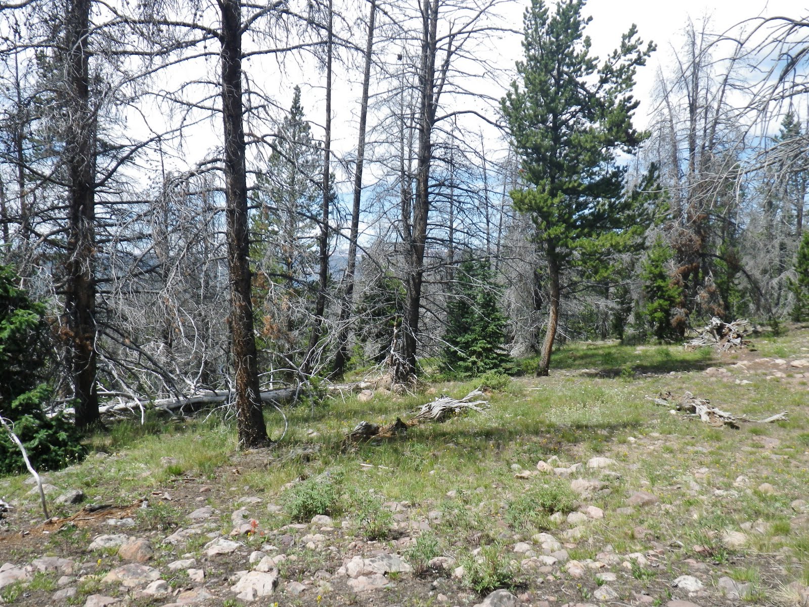
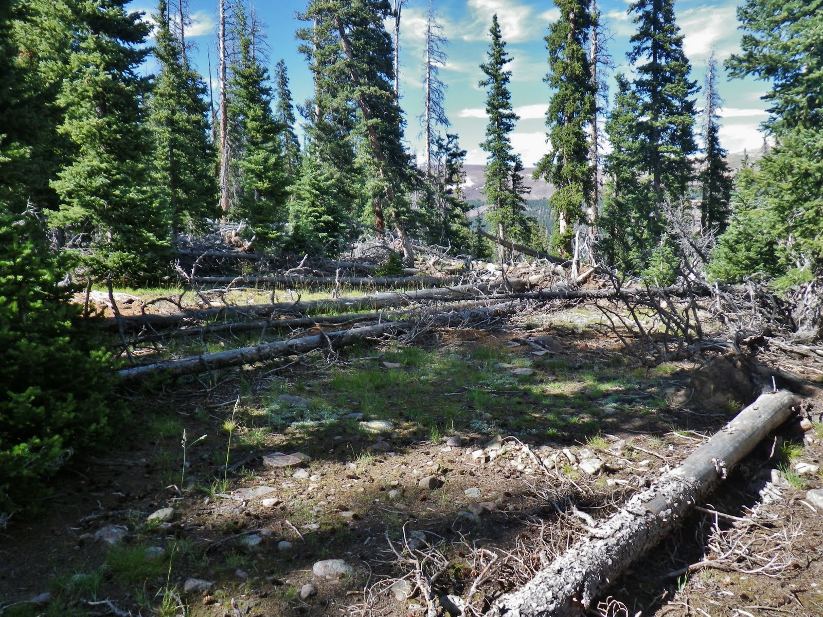
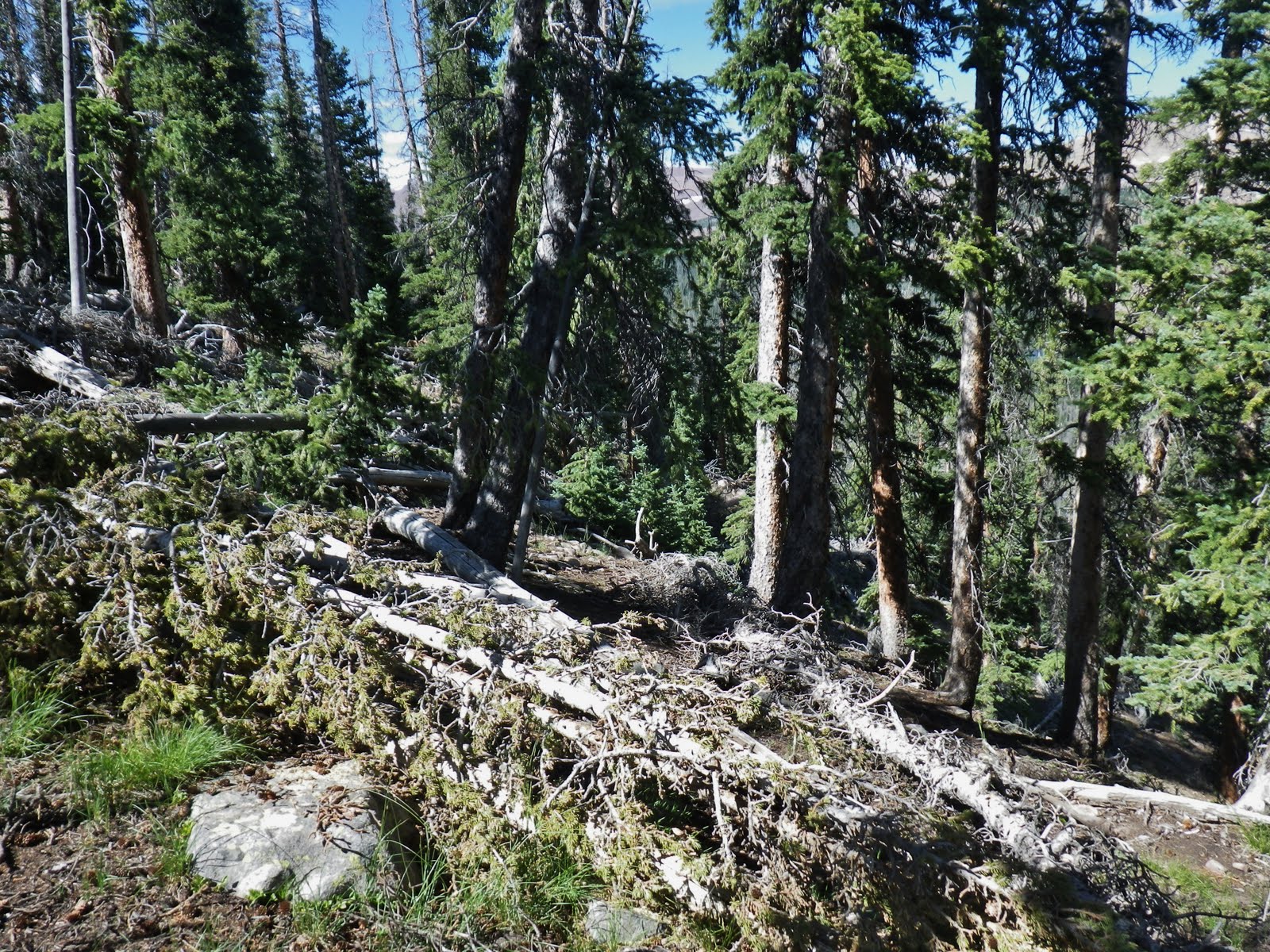
Up the trail gradually leaving behind the aspens, and seeing more deep forest varieties of flowers, like the heart leafed arnica.
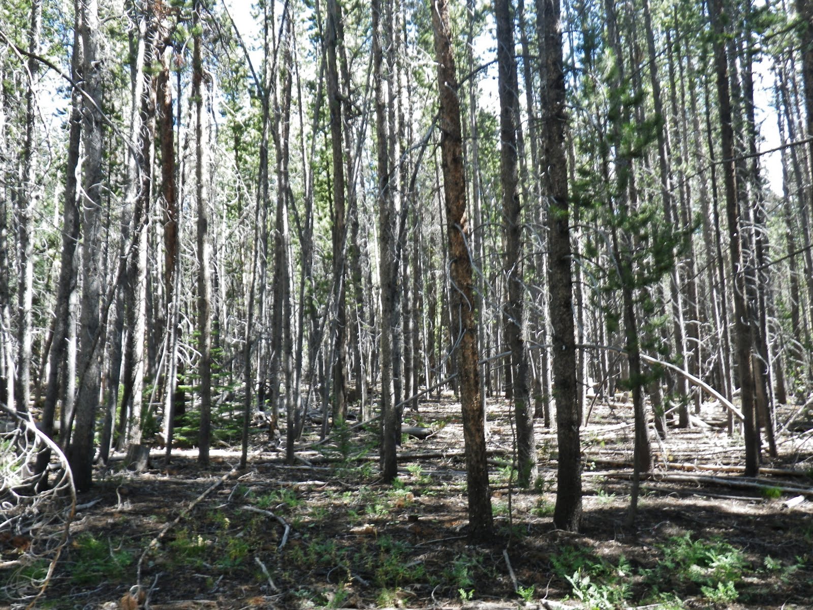
This lodgepole forest would have been tie hacker country on the north slope.
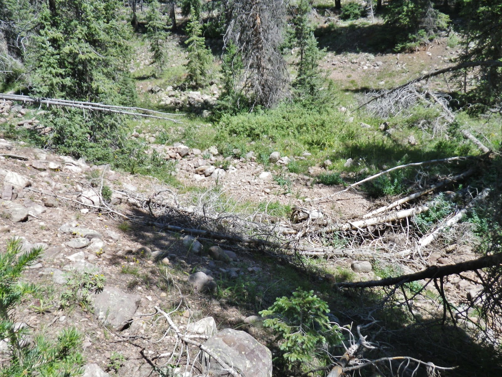
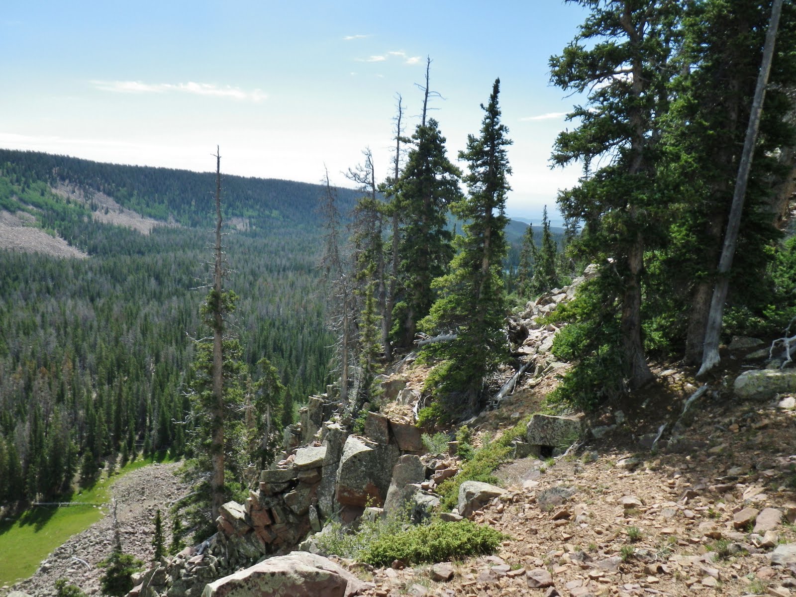
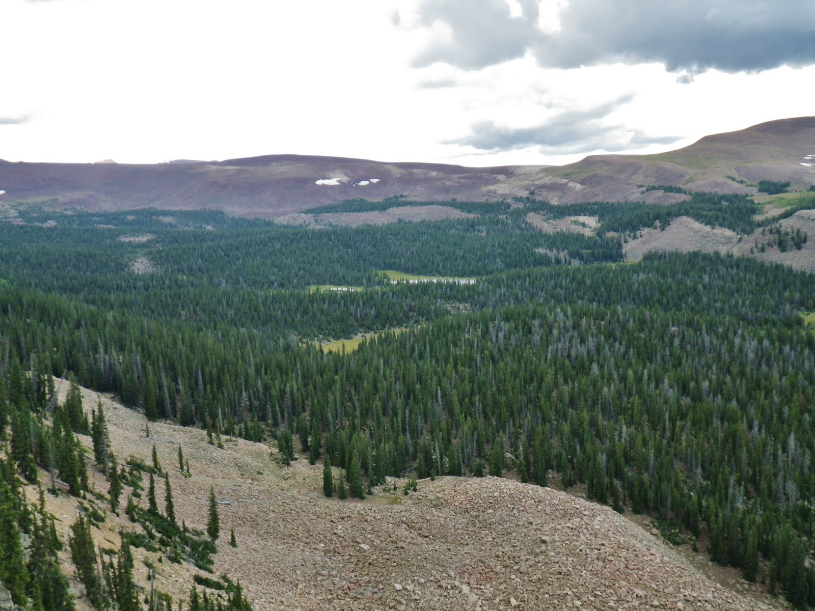
Most of the way the trail followed the ridge with Yellowstone Canyon down to the left. There was no water, and I was out by that time. But, my map showed the trail would soon cross a stream…..
….and here it was, but….it was bone dry.
If the stream bed coming out of Jackson Park was dry I figured that Jackson Park wouldn’t have any water….and I was OUT! What the heck would I do? I thought, maybe I won’t find any water until I drop down into Crow Canyon–assuming that to get down there was just a hop, skip and a small jump!
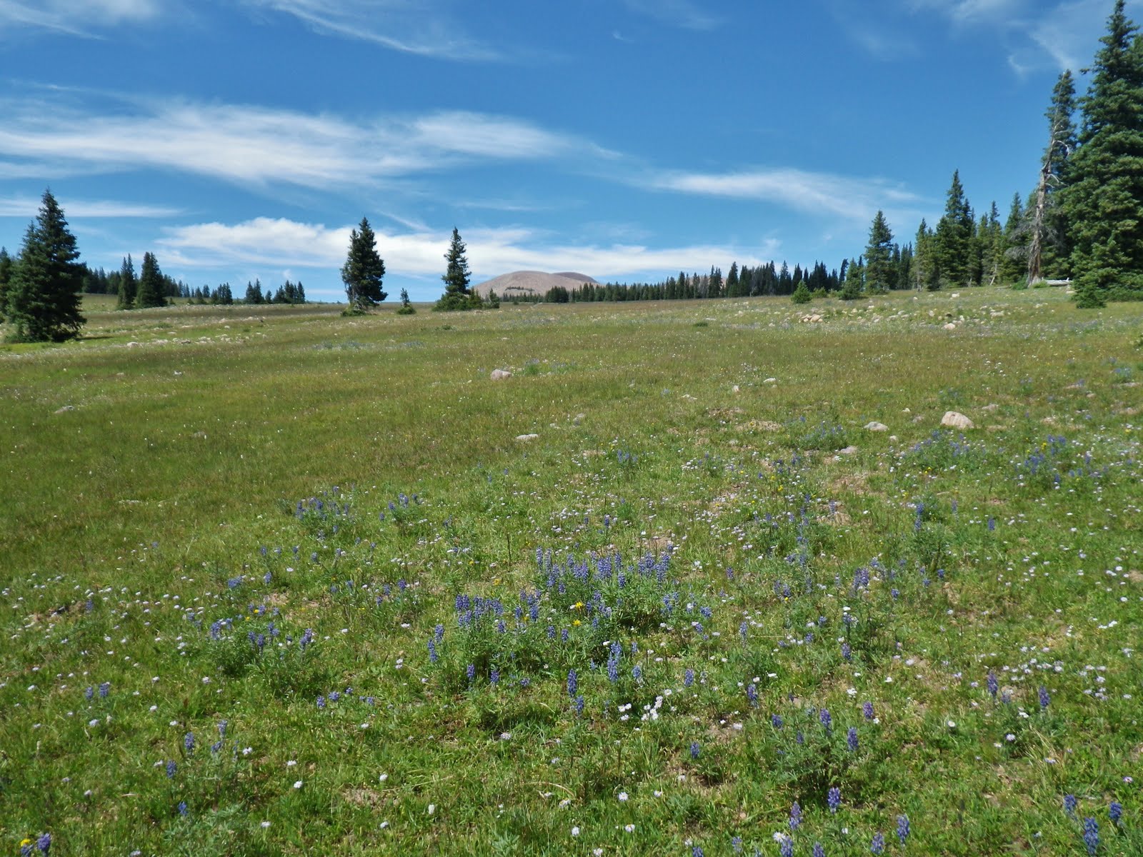
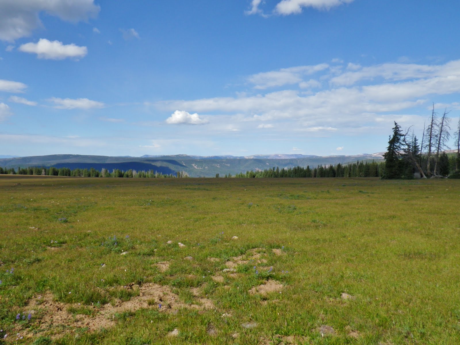
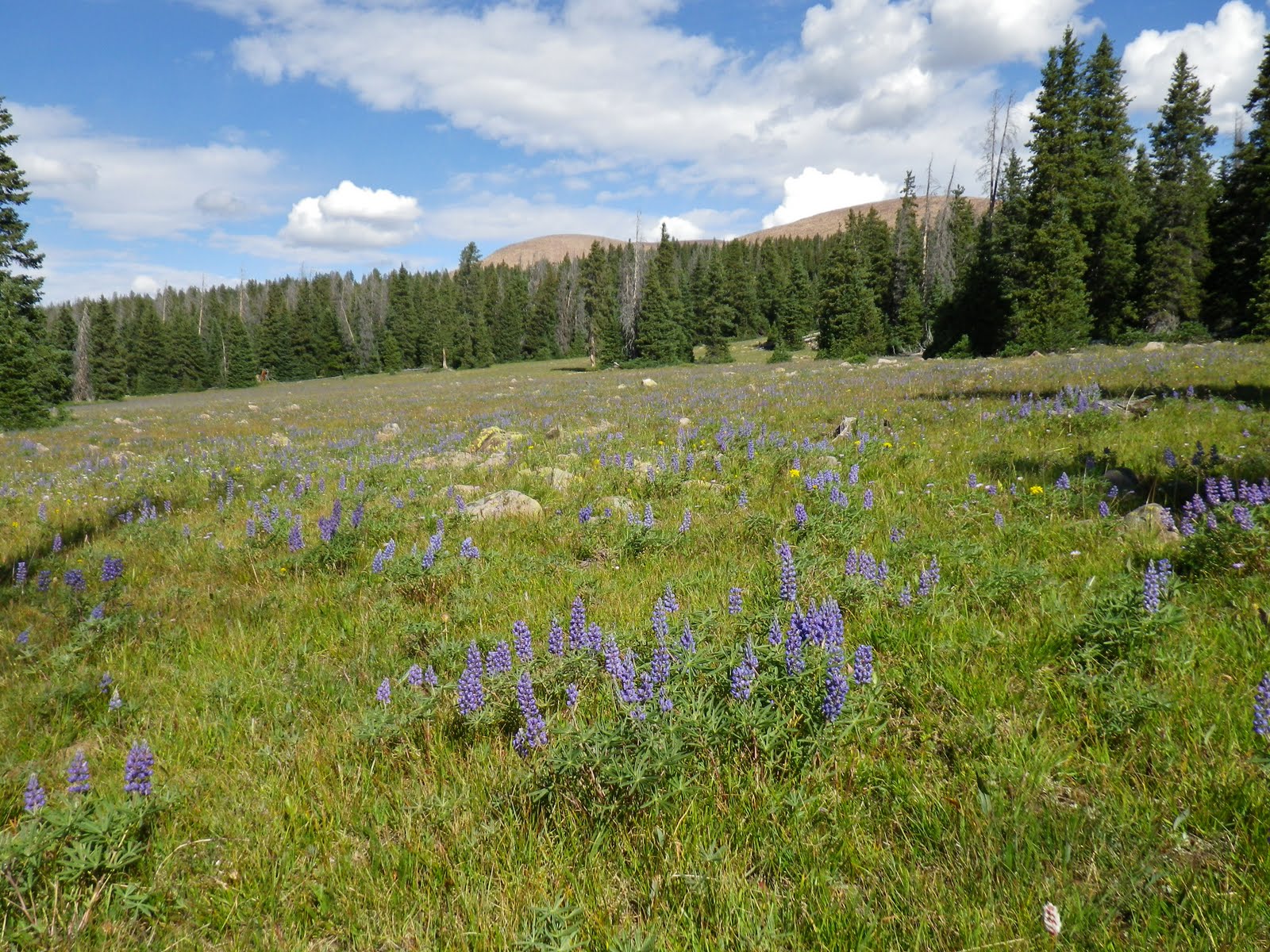
Finally made it to Jackson Park which was pretty green with lush flowers.
I was hopeful there would be some water.
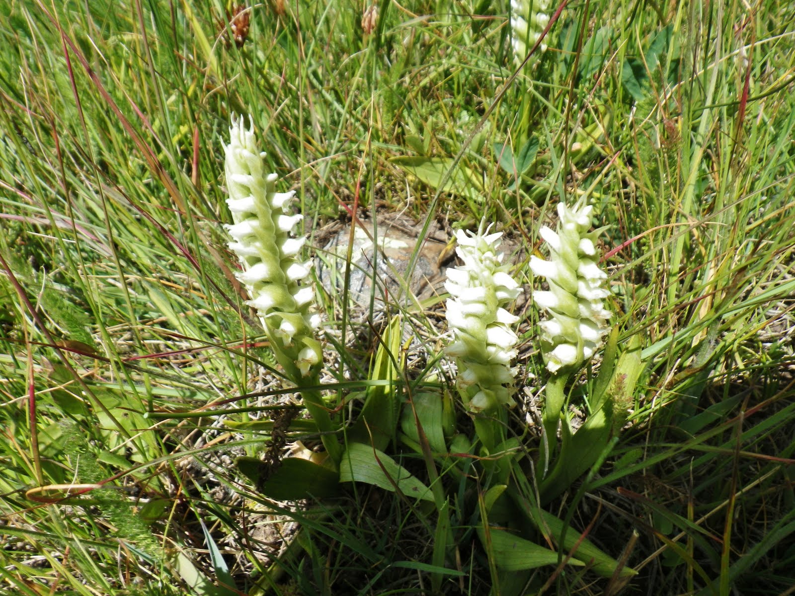
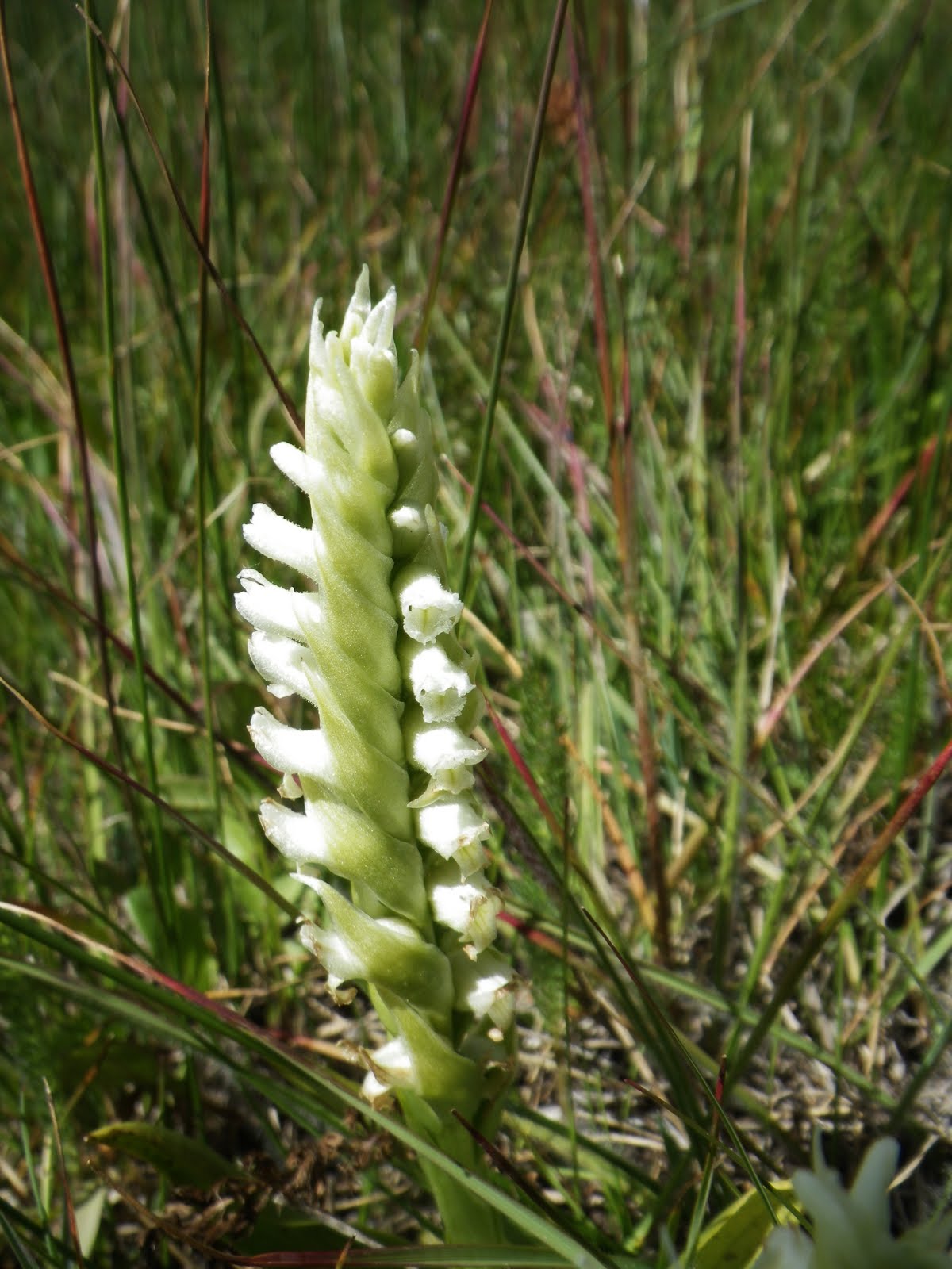
I was fascinated as usual with the flowers, this one being HOODED LADIES TRESSES.
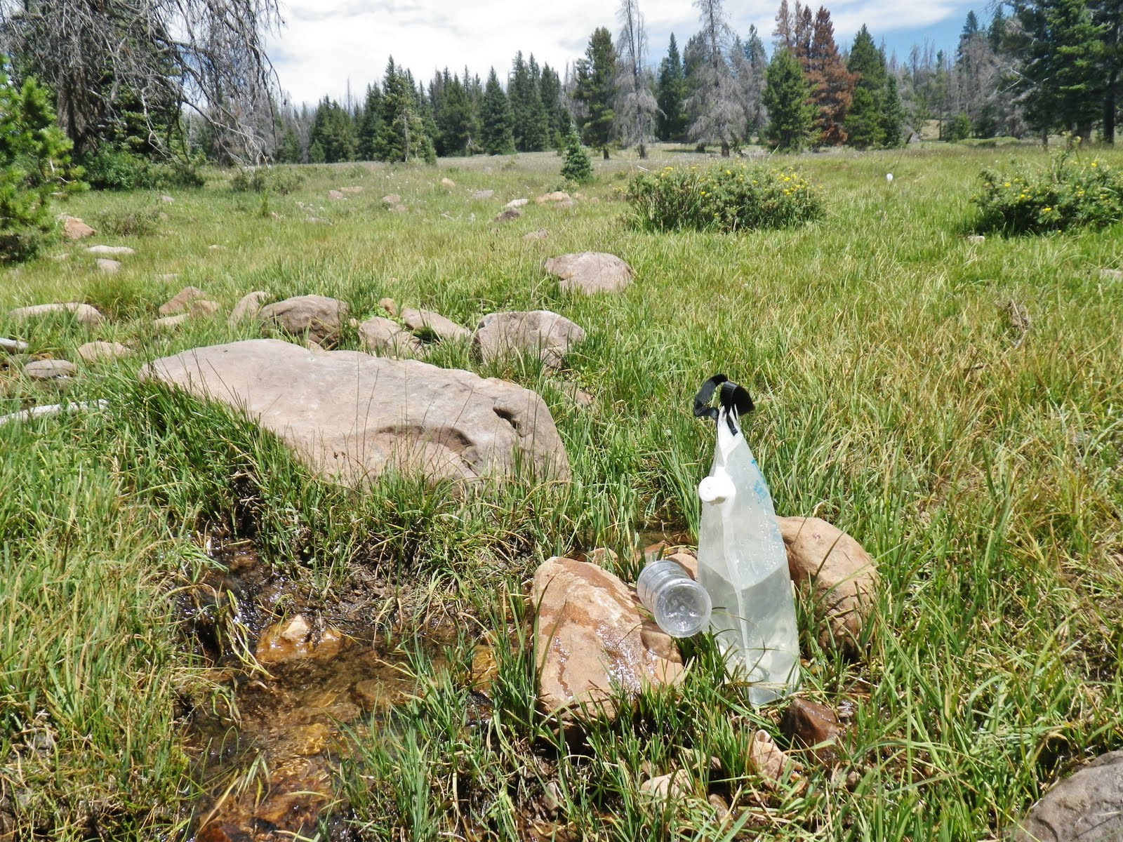
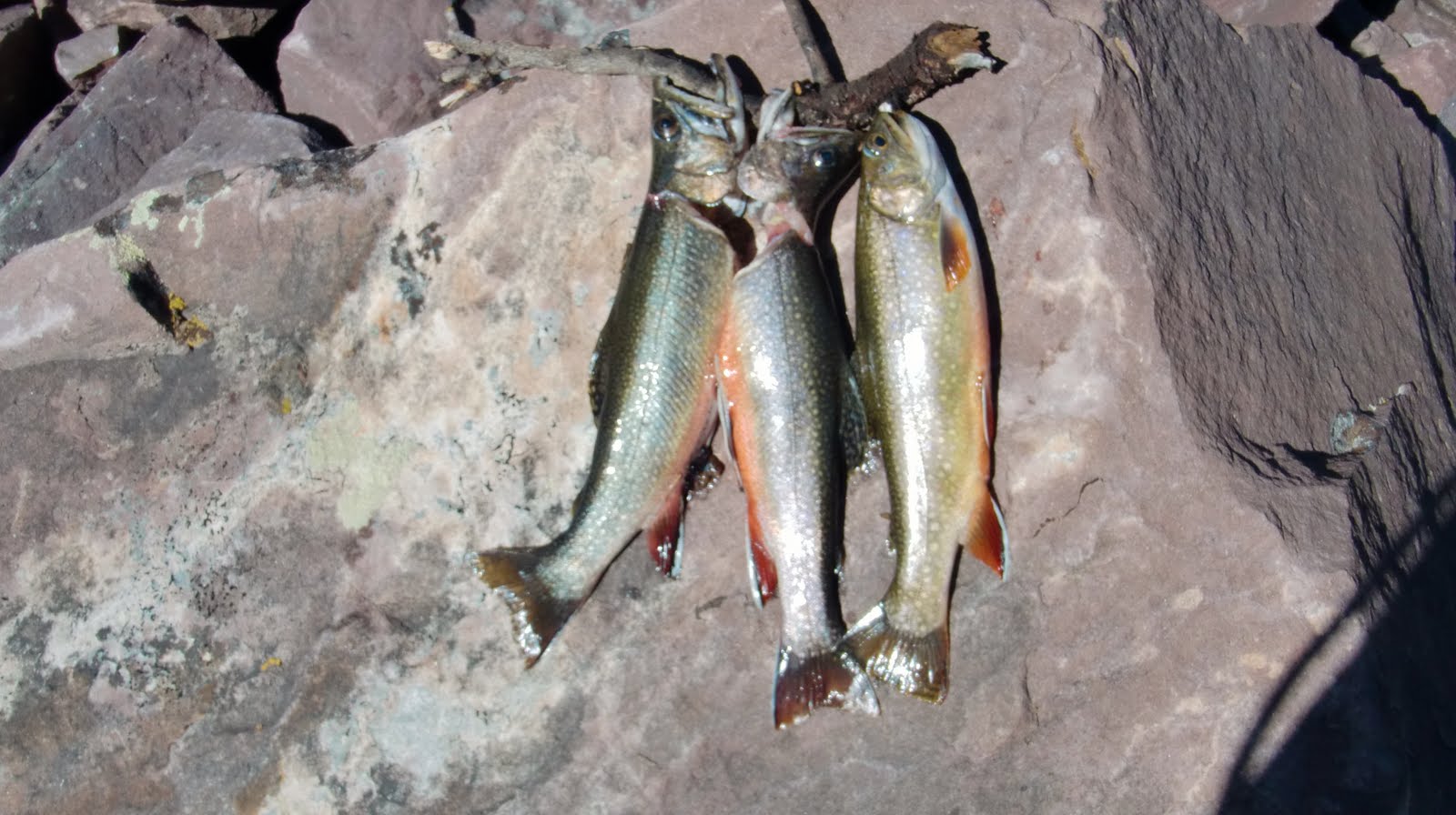
Thankfully there was a small, clear flowing, cold stream. It apparently just disappears into the dry stream bed a bit downstream.
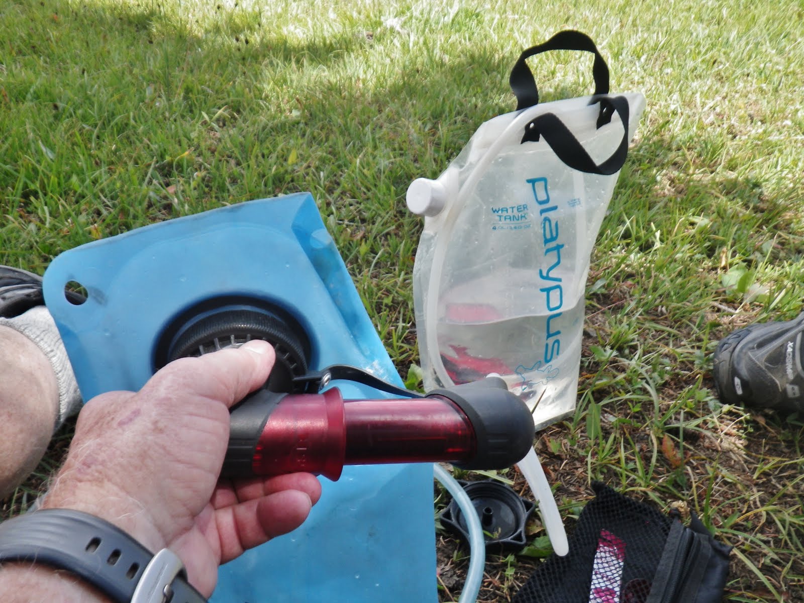
With one of my little bottles–the cheap, light ones you get with chocolate milk, I filled my Platypus bucket (“water tank”), and headed for my pack and shade to do the pumping/purifying.
I got my MSR water purifying system going, while also hitting the SPOT tracker button to pinpoint my location as Track #6.
During the off season I had installed a new micropore filter , and in a flash I filled my bladder.
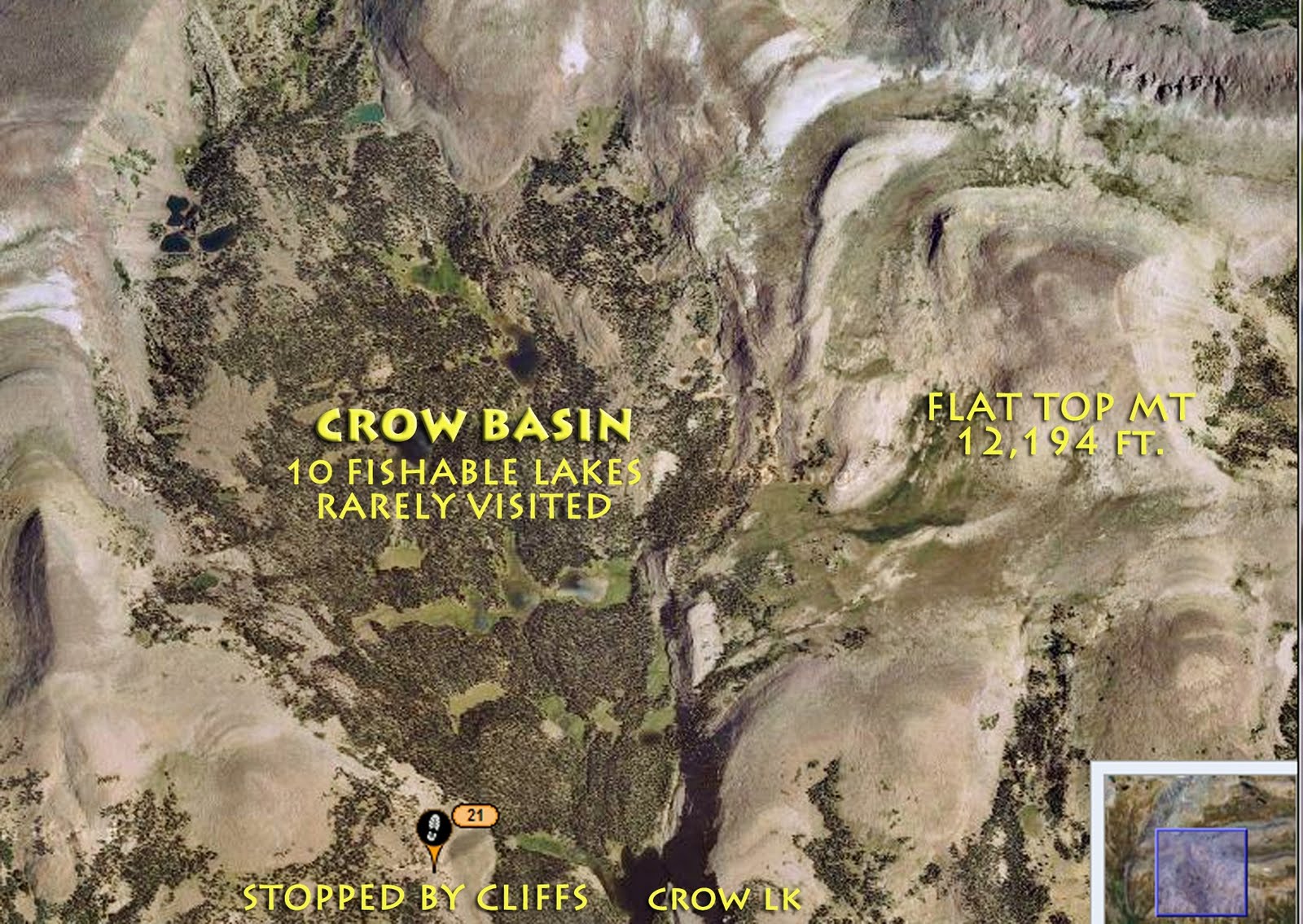
I started moving up through Jackson Park with the objective of eventually getting over to the edge and being able to look down into Crow Canyon and hopefully find a way to get down and then be able to move up into the upper basin.
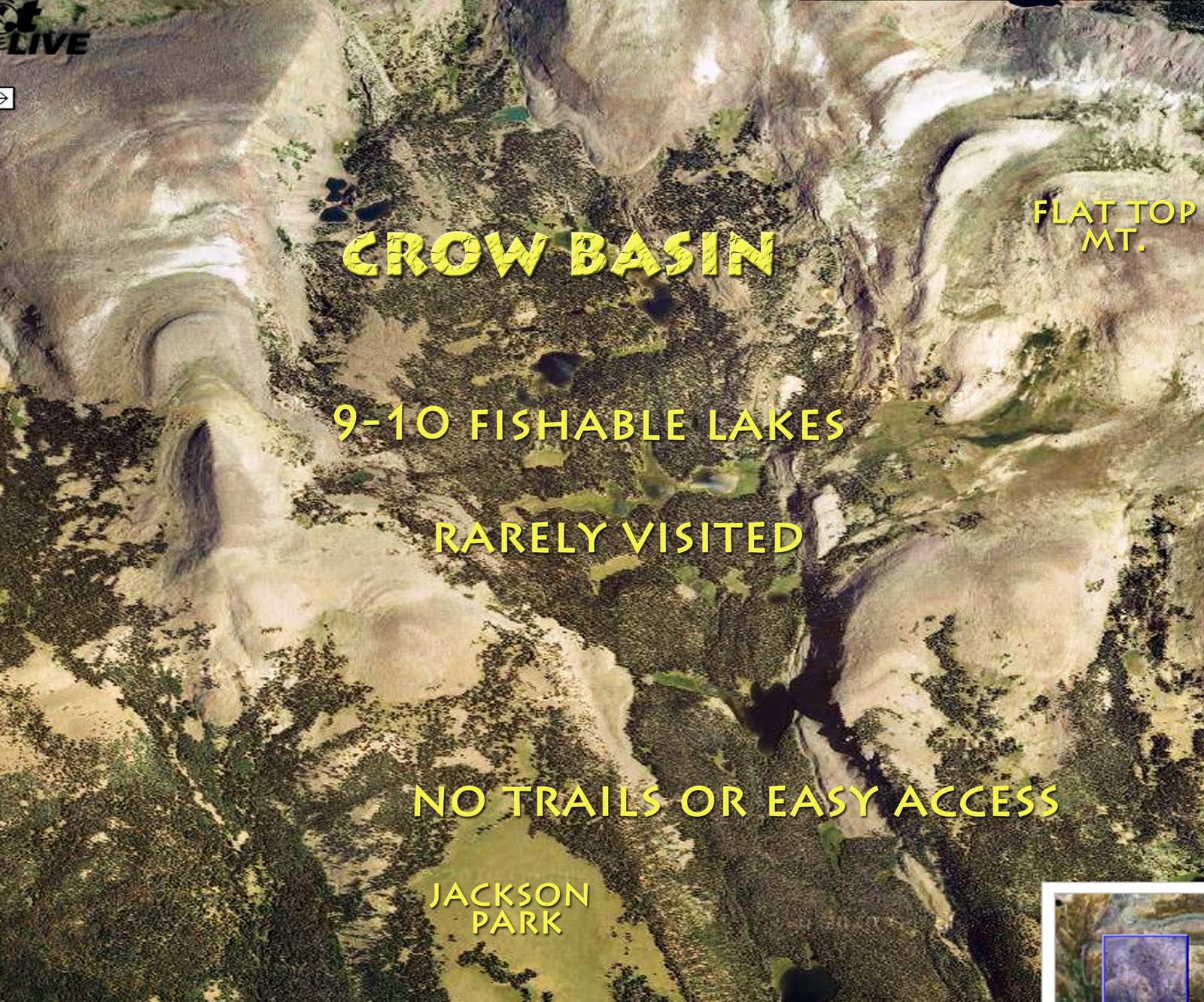
As perhaps mentioned there are no trails in the Crow Basin.
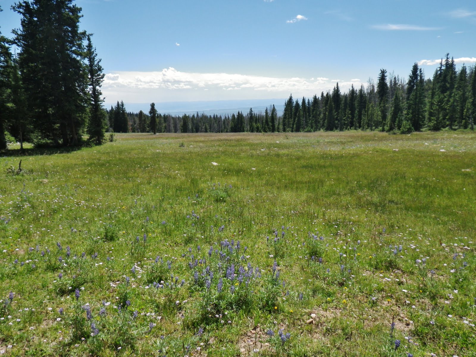
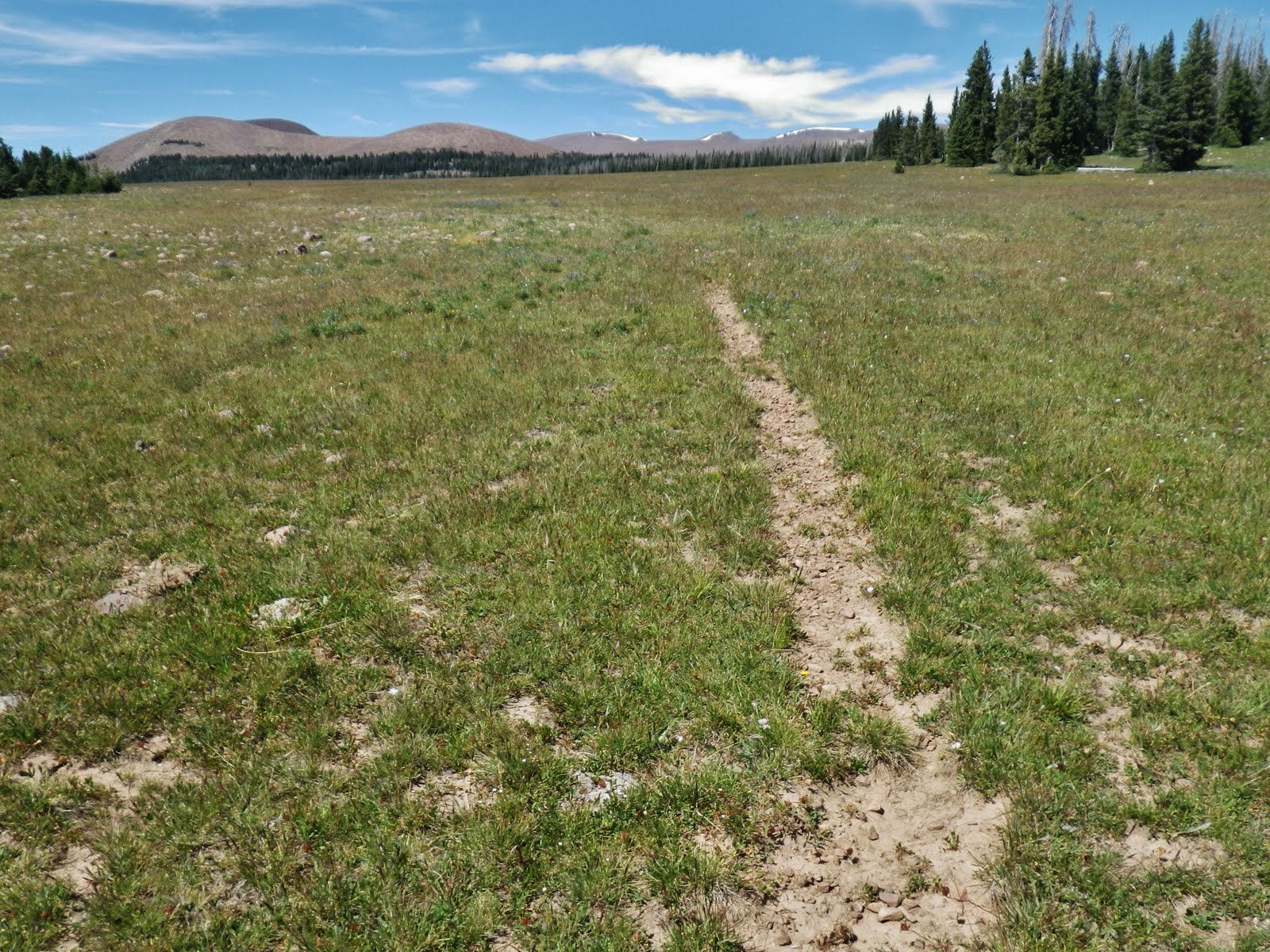
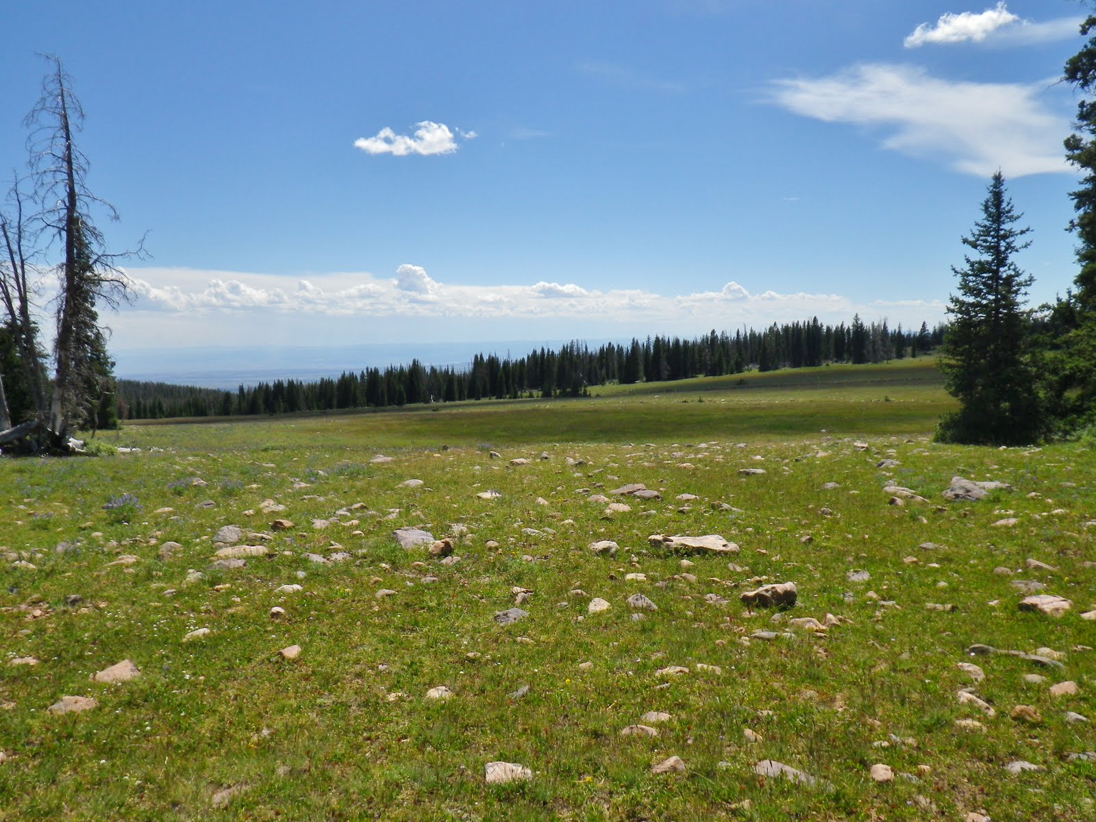
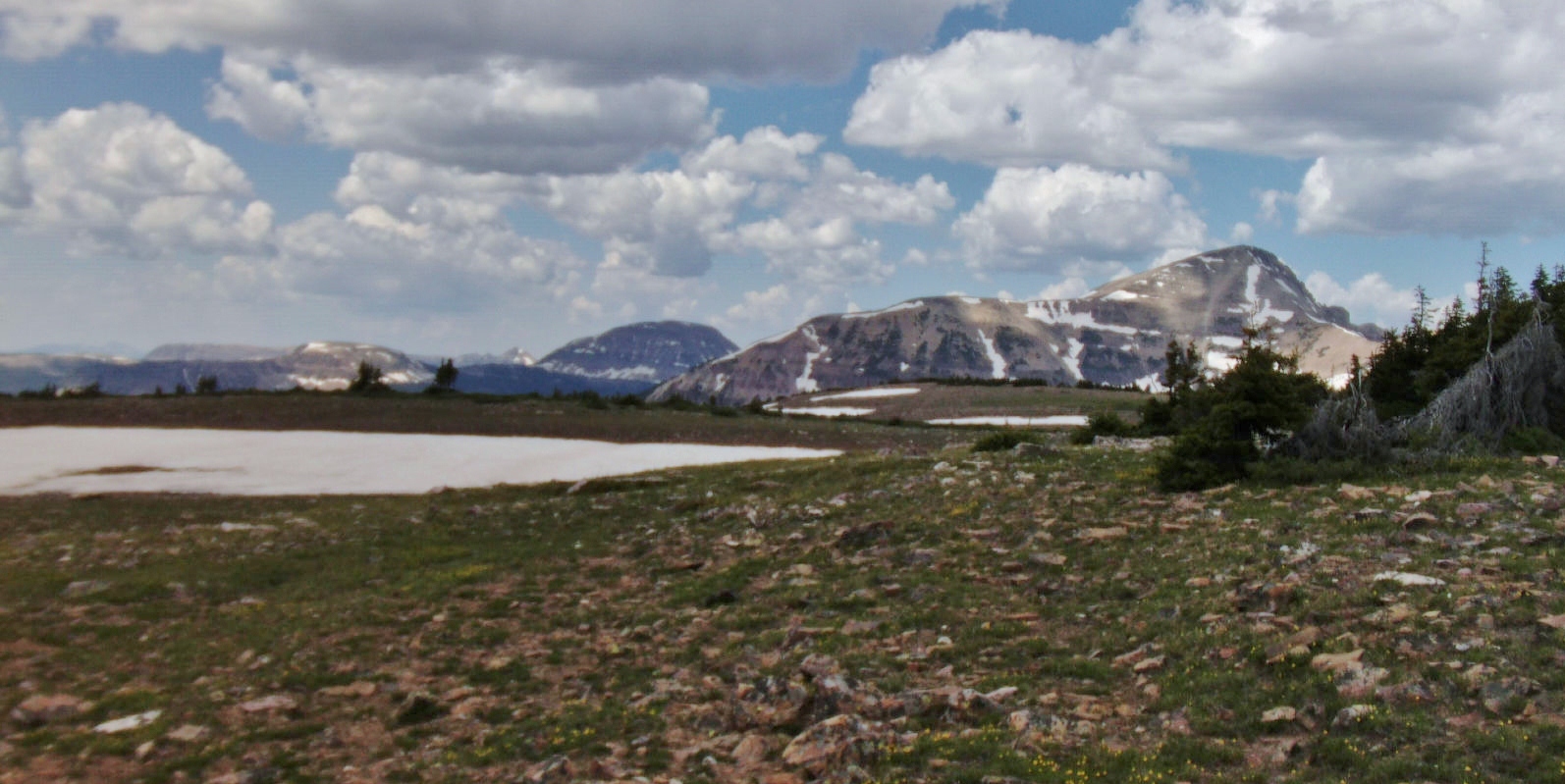
Moving up Jackson Park. It is a beautiful meadow that stretches on what seemed like miles of grass and wildflowers. Way in the distance round boulder field mountains began appearing. I knew that further up this same ridge was Mt. Emmons, 13,440 ft., 4th highest in Utah..
Behind me was the hot, smoggy Uintah Basin.
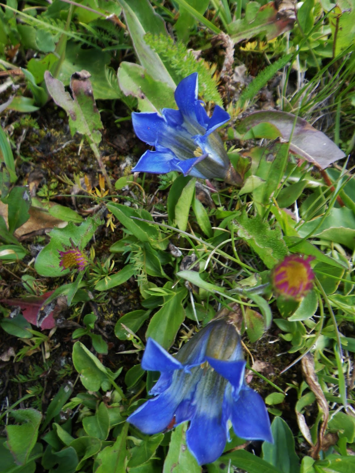
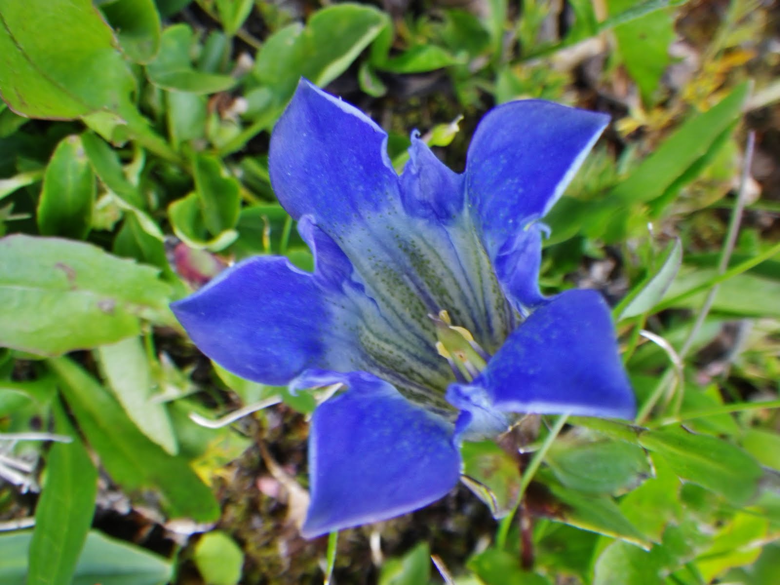
Among so many flowers was the Mountain Bog Gentian, very small up here, but always beautiful .
The track continued north, the mountains looming larger. Mt. Emmons perhaps is the dark shadowy one just barely visible on the left.
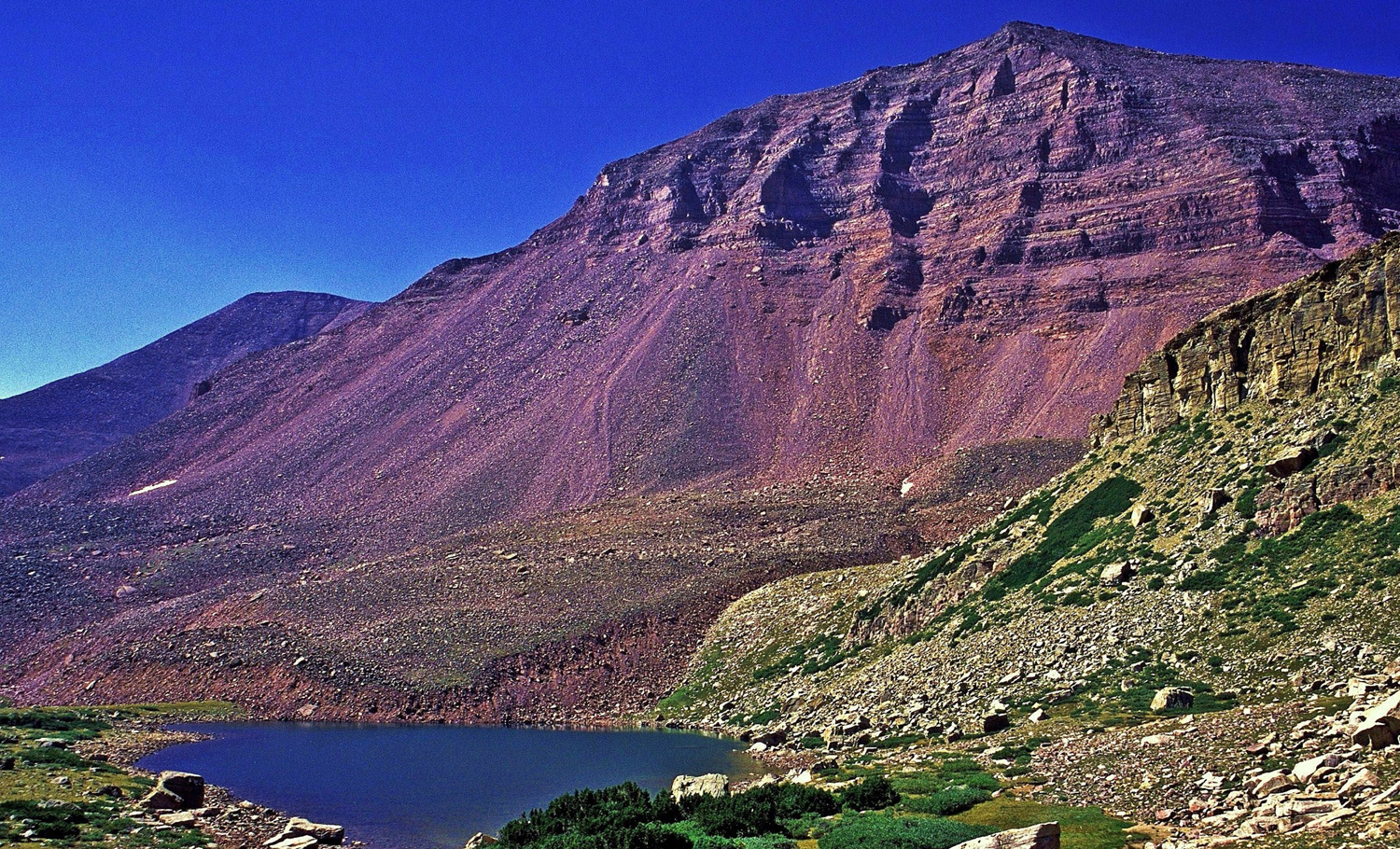
Way up this spur or ridge, that comes from the spine of the High Uintas, is 13,528 ft. high Kings Peak, Utah’s tallest mountain. But, between Kings Peak and Mt. Emmons is a no-name 13,387 ft. mountain I have named Mt. Jedediah, in honor of my greatest hero among the mountain men/fur trappers and explorers who opened up the West–Jedediah Smith. In fact I’d better insert a shot of this mighty mountain–seen below.
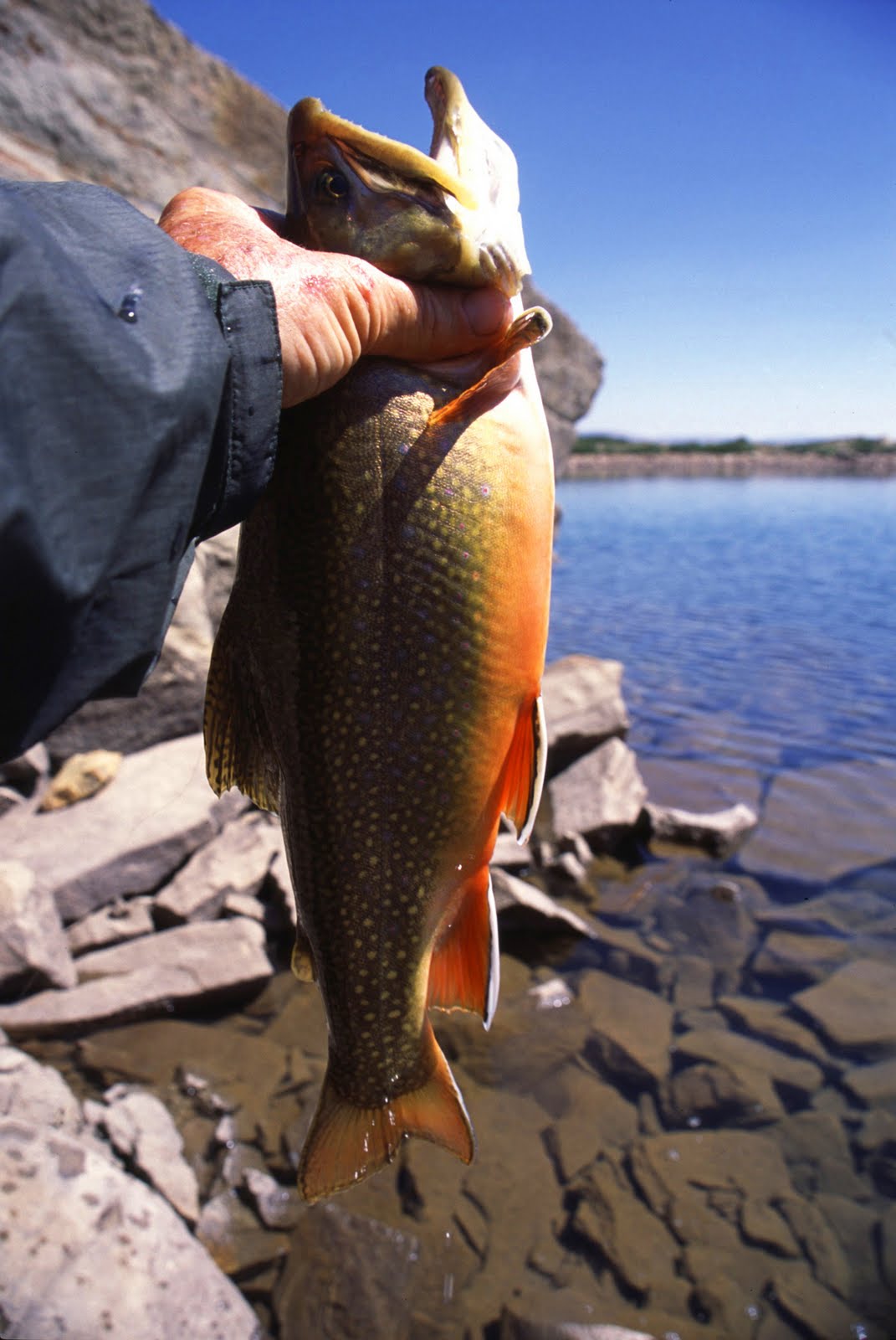
Mt, Jedediah guards no-name lake U-75 in the upper Painter Basin of the Uinta River Drainage. This lake produced this beautiful brook trout for me on my 27 day expedition in 2003.
Smiths Fork, born in the Red Castle area on the North Slope, is also named in honor of Jedediah Smith, who along with his men first trapped the North Slope in the 1820’s. “Diah” as he was sometimes affectionately called was a giant among those early explorers different in that he carried (and read) his Bible, did not swear, nor drink and refused to have to do with women of ill repute.
Now back to Jackson Park and Crow Canyon.
As I proceeded up the Park I could see across Yellowstone Canyon to the West viewing Swasey Hole and the Garfield Basin.
At a certain point I decided to move over to the edge of the Park and look down into Crow Canyon.
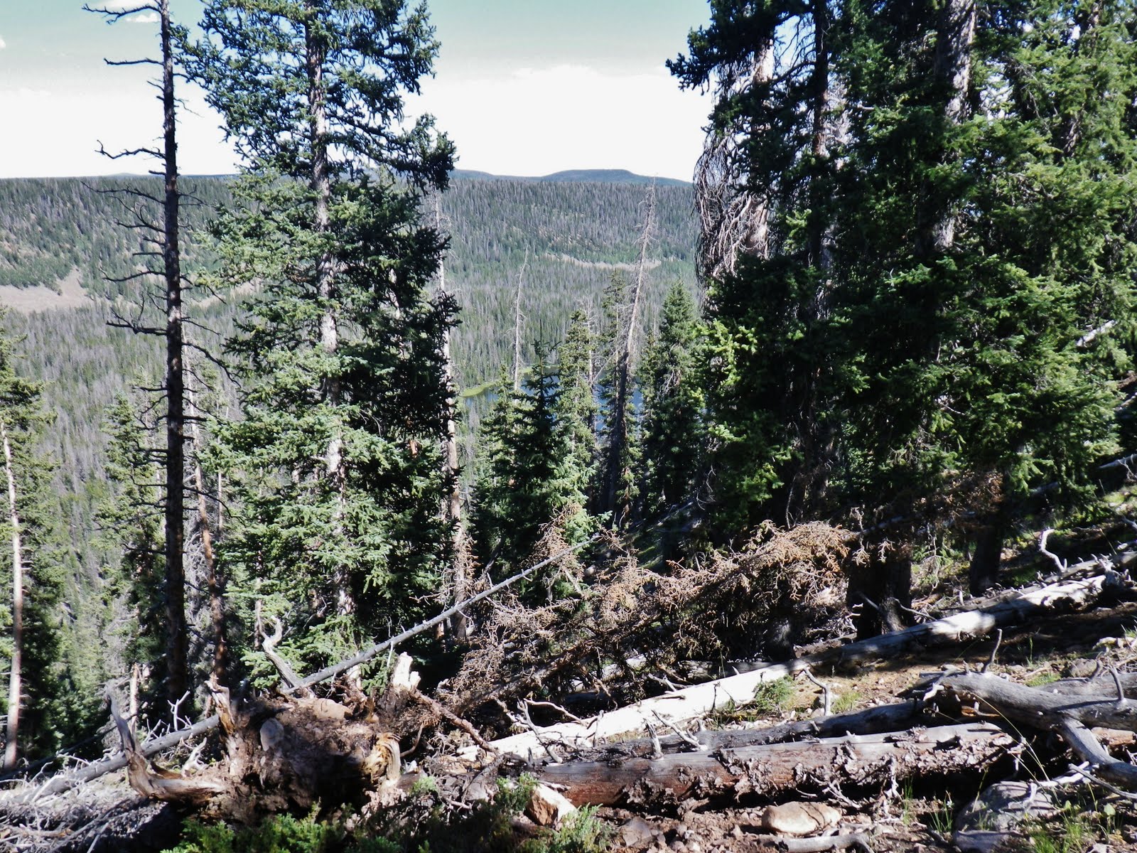
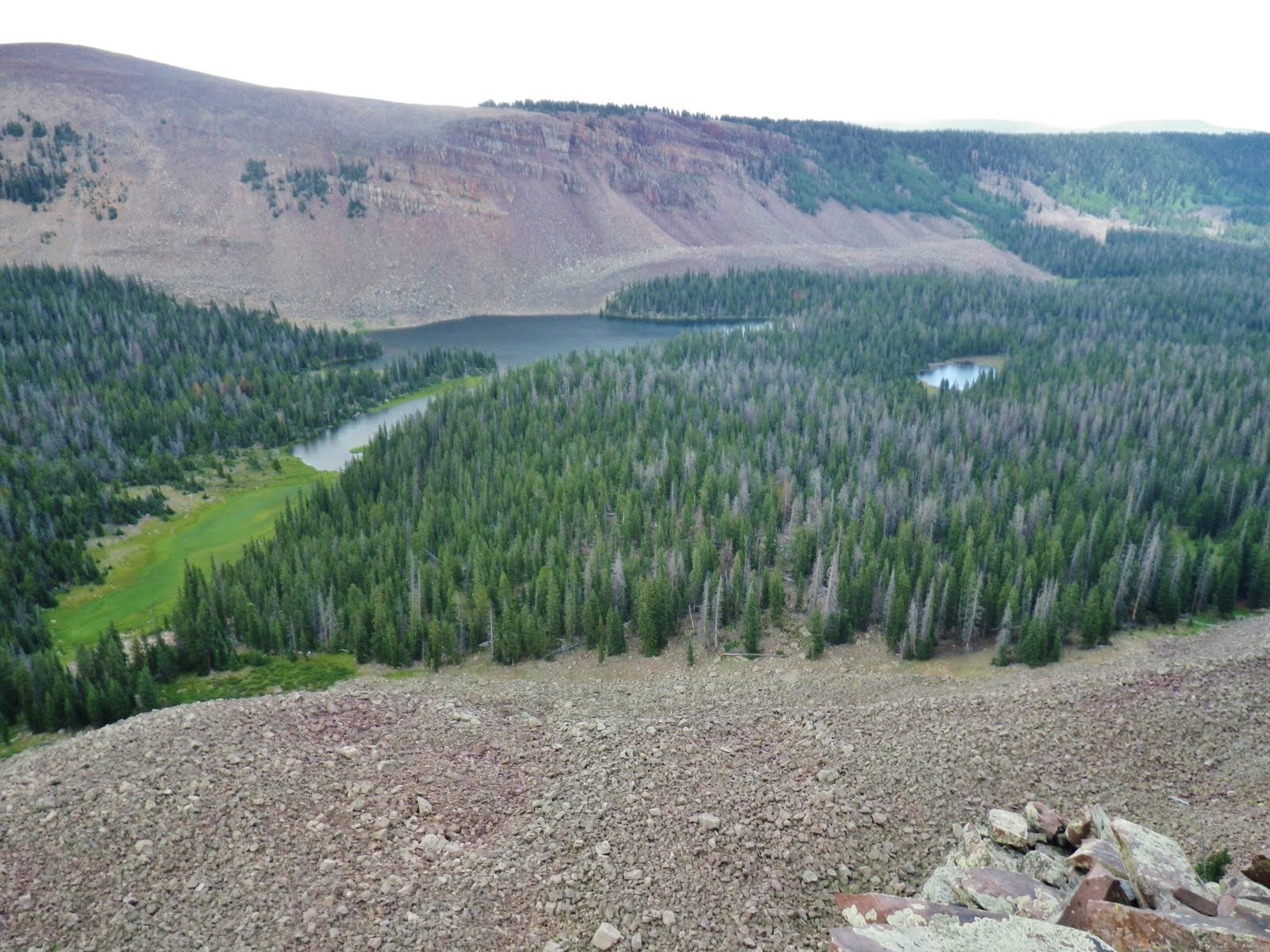
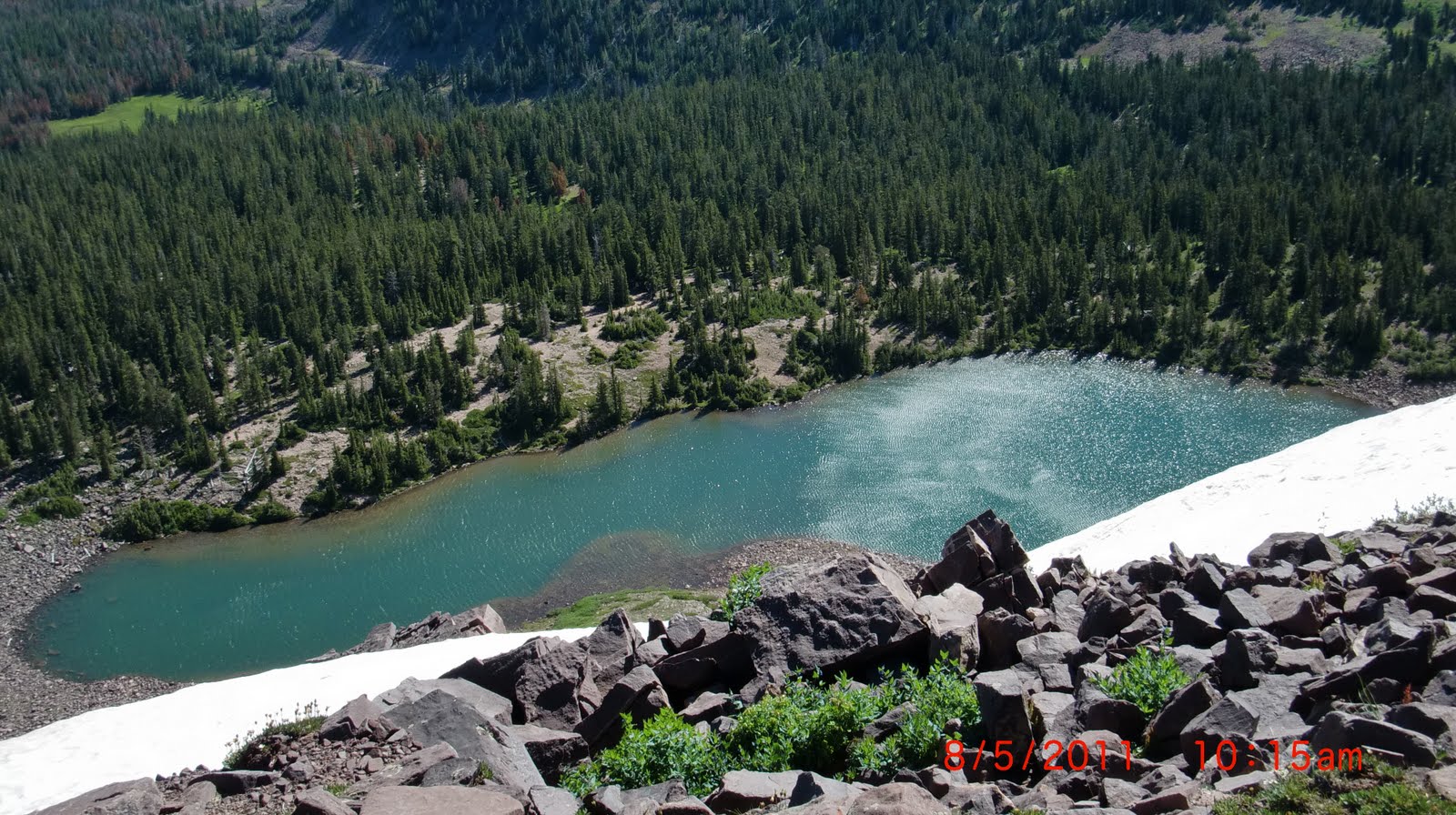
There was a lot of downed timber, but through it to the edge I could see a lake to the south.
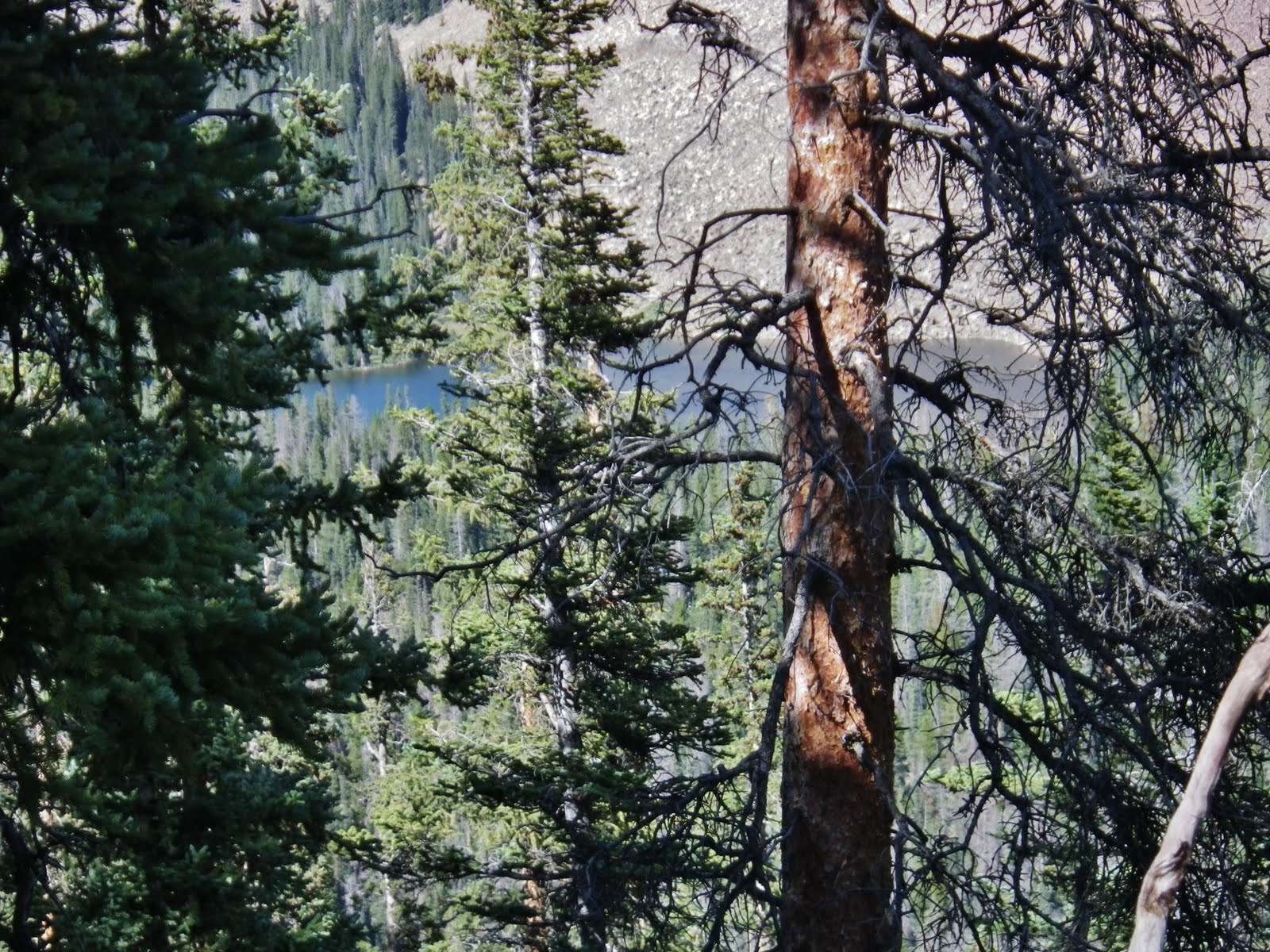
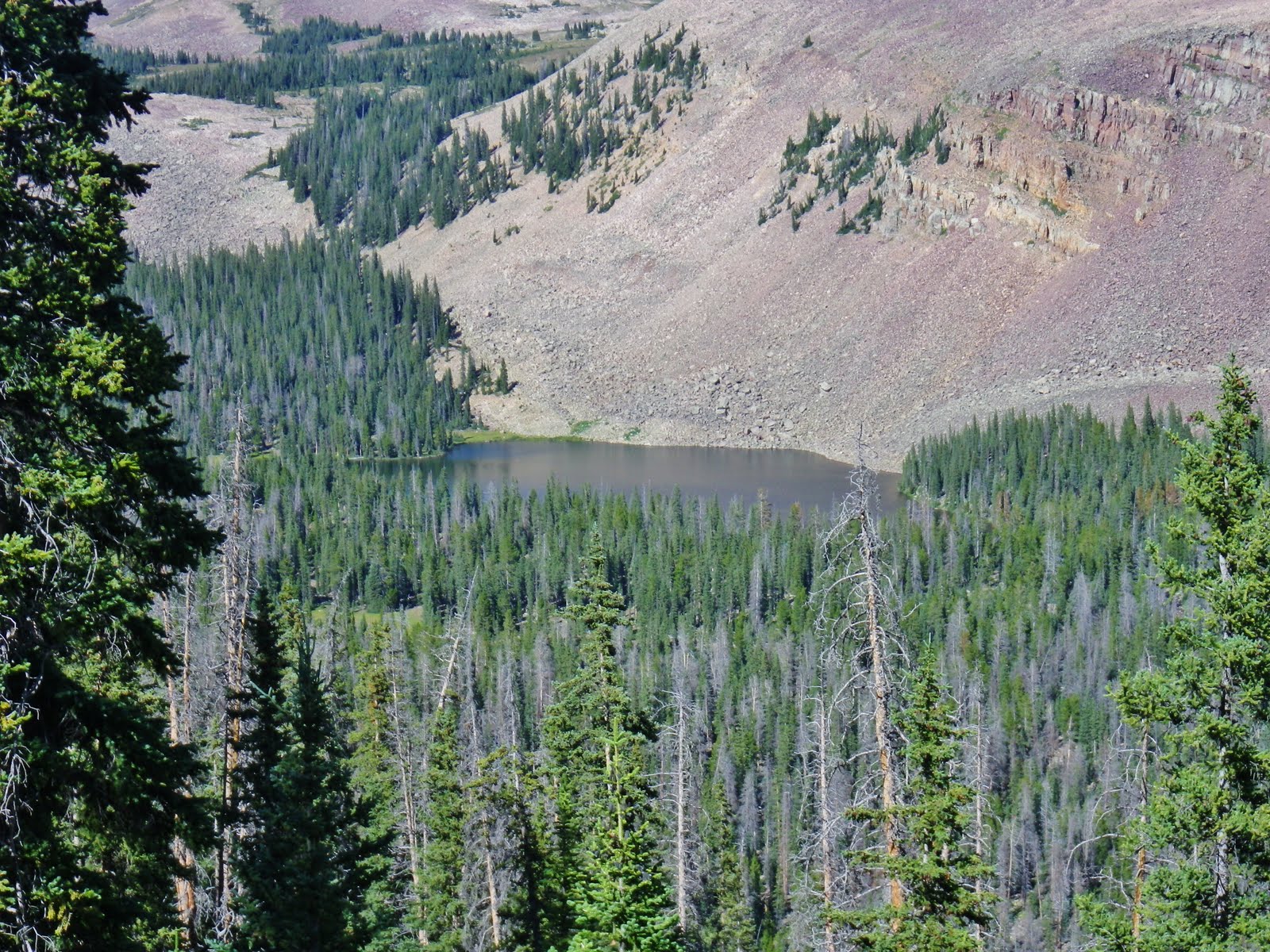
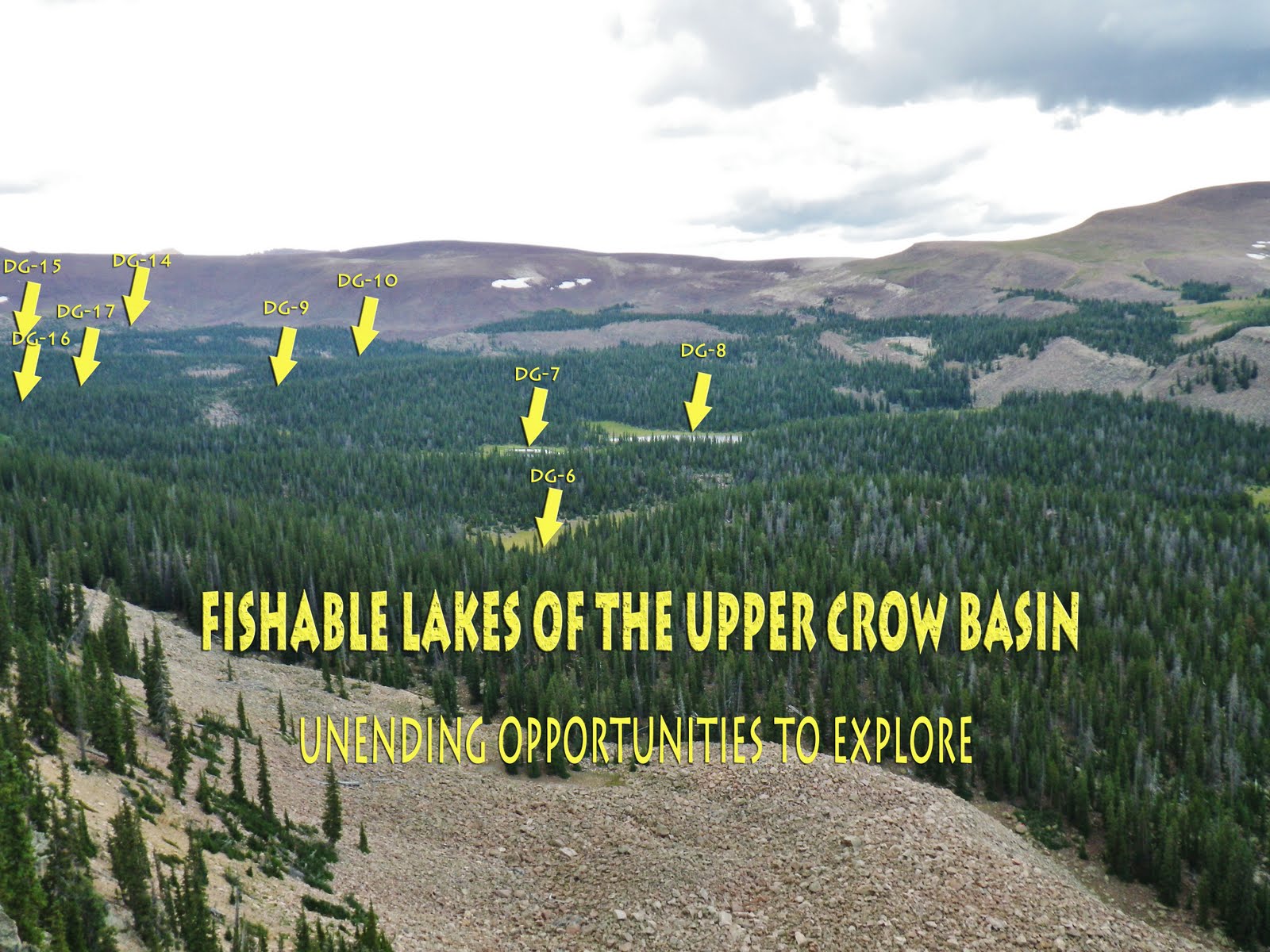
It was no-name DG-1 which seemed to be of good size and depth, but the DWR pamphlet says that it “does not sustain fish life.”
I was viewing it from SPOT track #13.
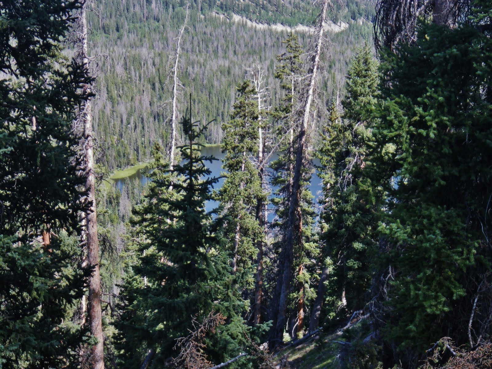
I then looked to the northeast and could see another lake.
I zoomed in and looking on my Google Earth print-out could see that it was Crow Lake.
It was not a “hop, skip and a jump” down into the canyon to Crow Lake.
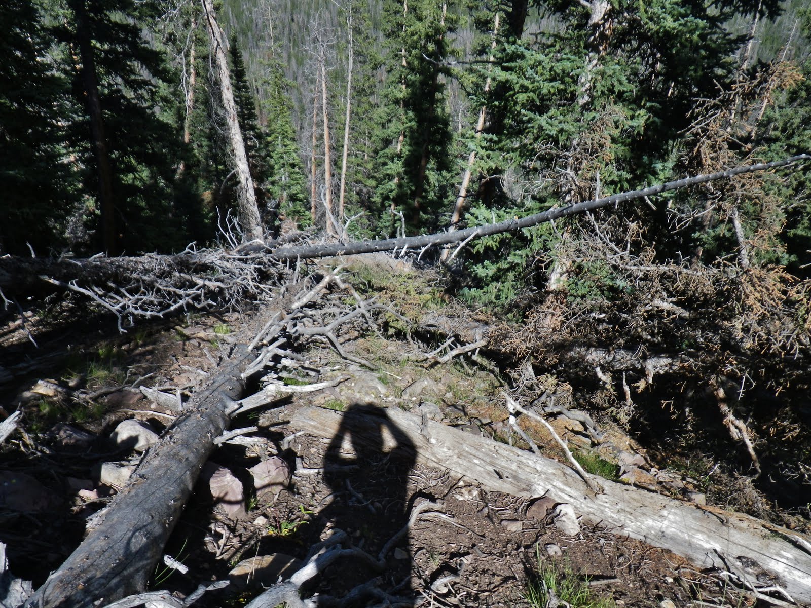
It was a very steep slide down, and full of dead timber, all adding up to a tangled, steep mountain that would give me great difficulty with a pack on my back. Oh, I could get down, but I had to be smart realizing that getting back out would be the problem.
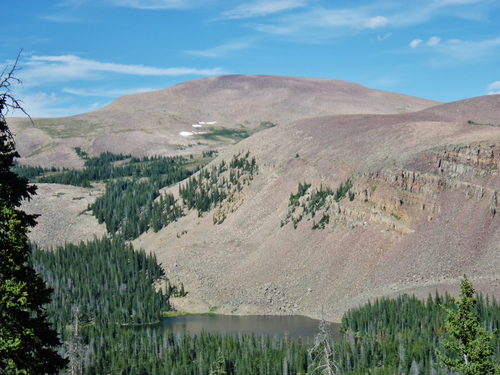
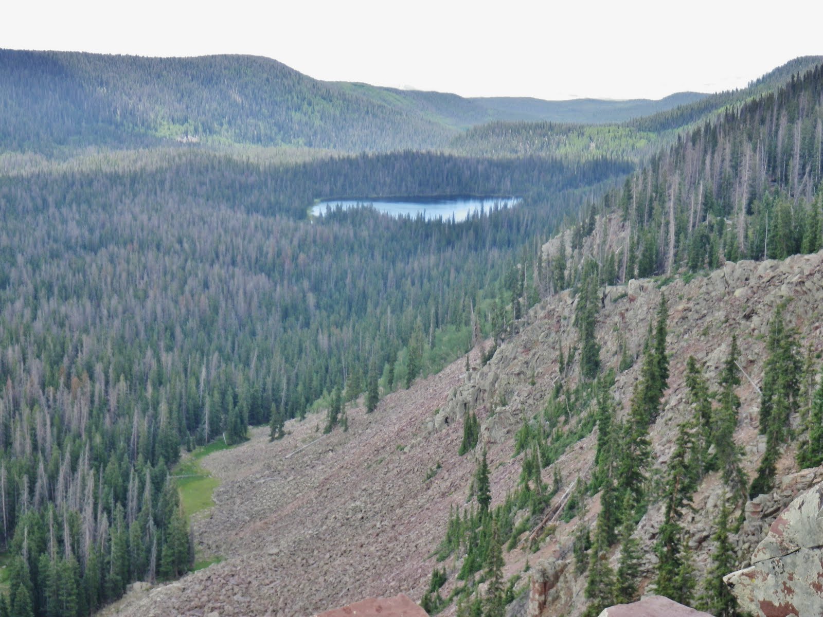
I moved a bit further north, to SPOT track #15 where I could get a clear view of Crow Lake.
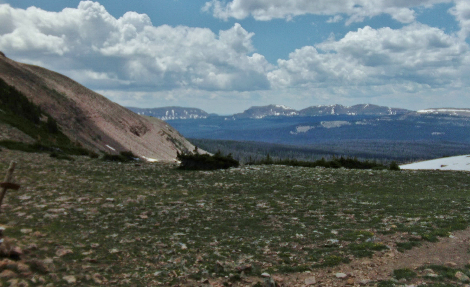
12,149 ft. Flat Top Mountain was guarding Crow Lake.
Flat Top Mt. pass to the north east apparently has a stock trail that comes from Lily Lake. This pass also leads to remote Bollie Lake to the east even though there is no trail. There is a faint sheep herder trail leading to Bollie Lake from the top of the switchbacks on the Uinta River–Chain Lakes/Atwood trail.
It was getting towards time to think of setting up my camp, but hadn’t found any water up high, and of course had ruled out trying to get down into Crow Canyon, so I headed back down Jackson Park looking for the origin of the small stream where I had got water in the morning.
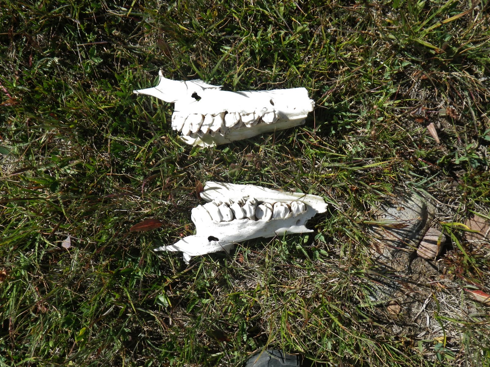
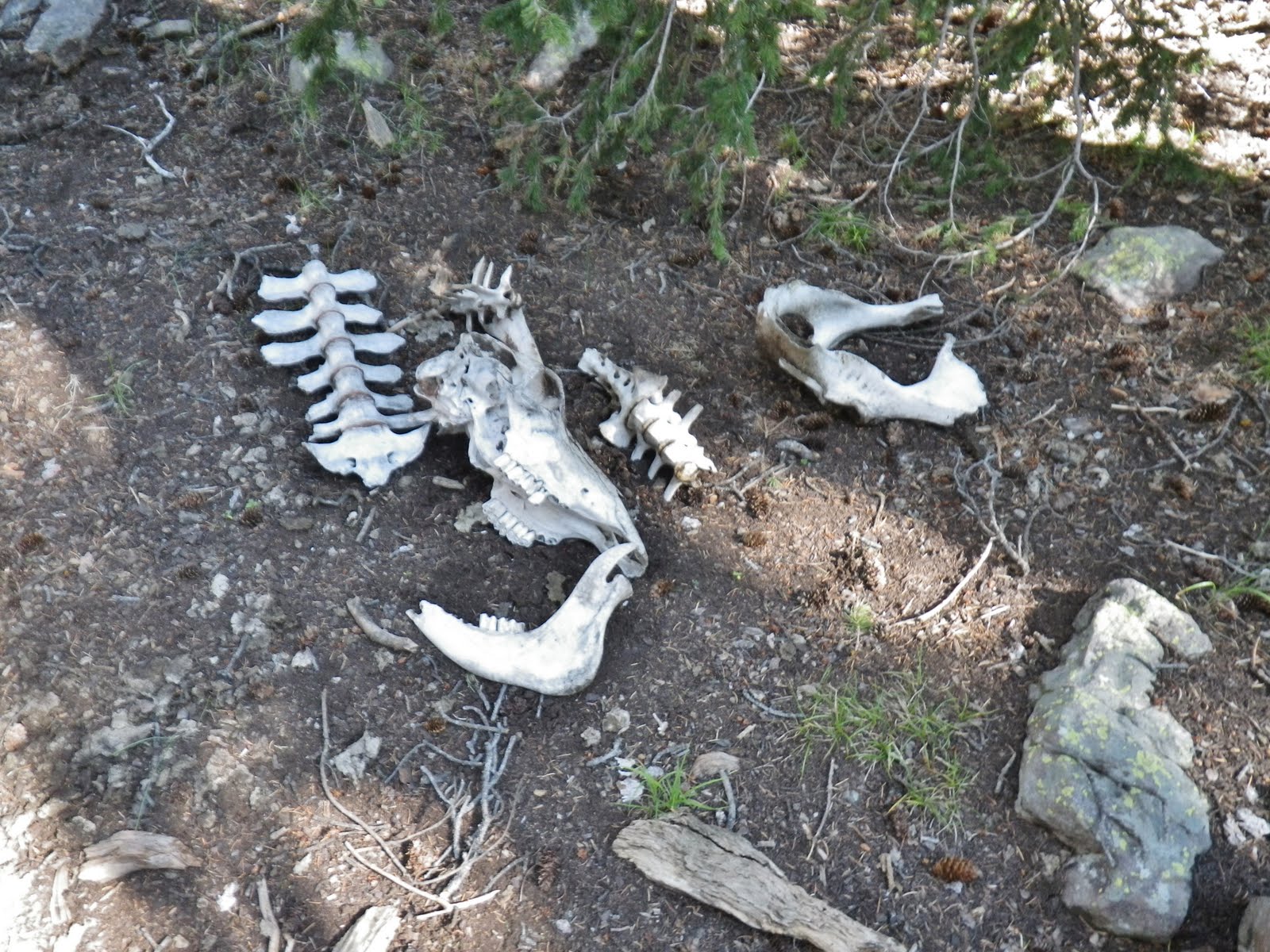
Along the way stumbled on the remains of one critter who maybe didn’t get to the water in time, or likely had some other mishap.
I came to water and followed it up into a grove of pines where it sprung out of the ground. There I found the only wood sign of the trip.
The bottom part of the sign says TIMOTHY LAKES 13 miles.
Back in 2006 I explored the Timothy Lakes coming into that area over Bluebell Pass and then went out down Swift Creek. At that time I noticed this long trail coming up to the Timothy’s and wondered “Who on earth would ever use that trail?”
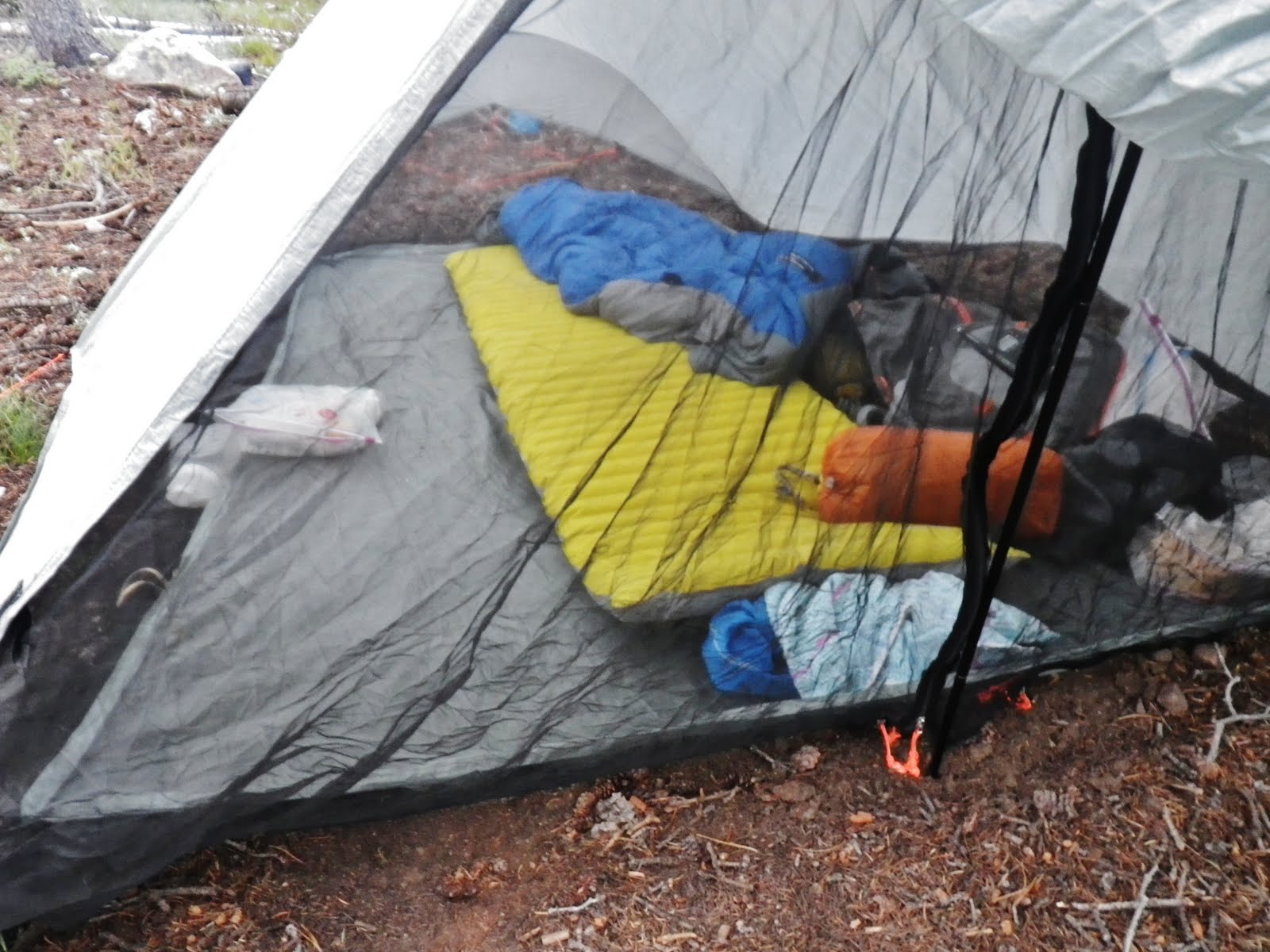
I set up my little camp. Here you see my 2 man TarpTent that was sold by Gossamer Gear a few years back. It then became known as the Squall Classic. Today a take-off from this, but for just 1 person, is called THE ONE. Click on that link to see details.
You can see that my tent is for 2 people–which I like so I can put most of my equipment inside with me. Inside you can see my Therm-A-Rest NeoAir mattress, and the Golite quilt sleeping system. Click on those links for details. They are both extremely lightweight and the best.
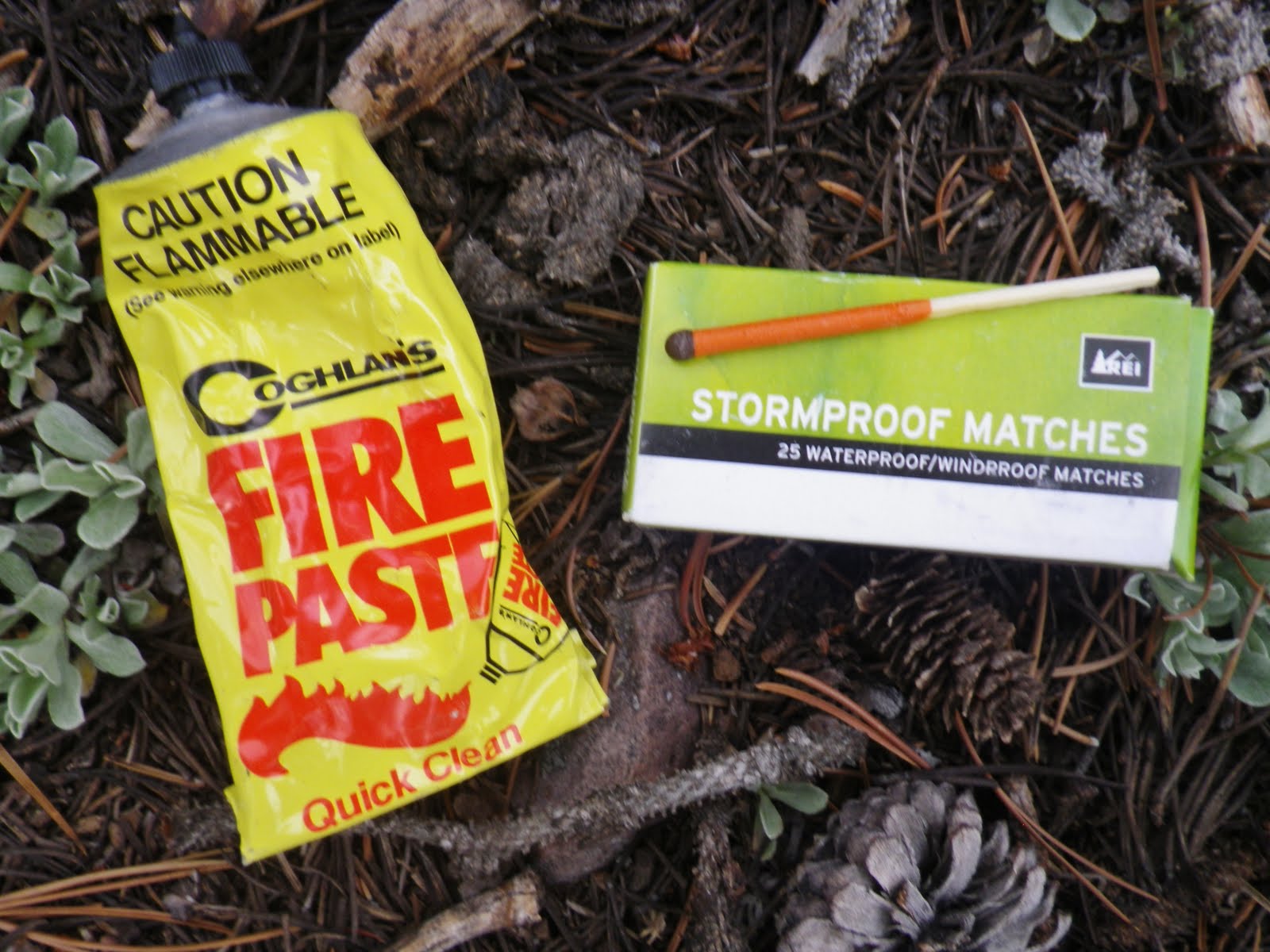
There has been a tongue-in-cheek rumor in the Uintas since my expedition in 2003 that I am the reincarnation of Jedediah Smith, however the theme of fire-making easily proves I’m not in the “flint/tinder” fire-making club he was in. I now go for the incredible “tenderfoot” system you see above, with COGHLAN’S FIRE PASTE, and STORMPROOF MATCHES. What a snap!
Just squirt a little paste under your dry twigs.
The match lights easily and burns long and will not be put out by the wind.
One might ask, “But where do I get firewood?”
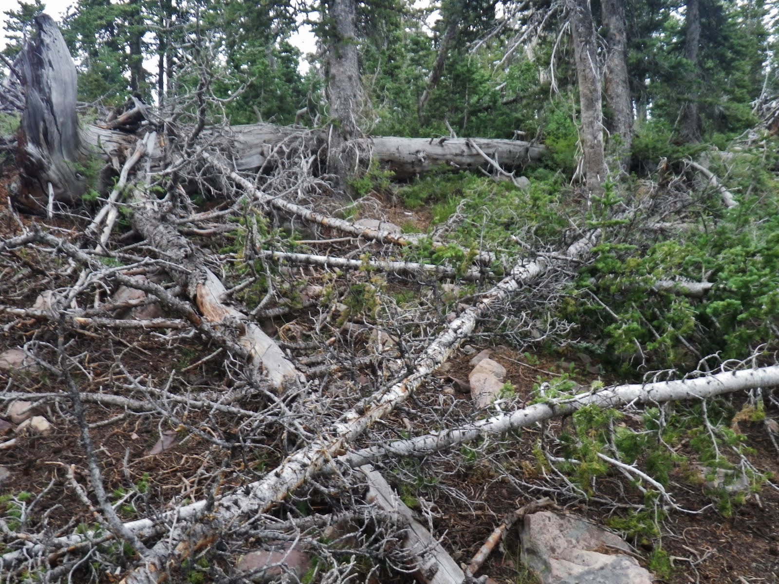
This is the usual scene in the Uintas, with a tangle of dead firewood everywhere. You don’t need an axe, nor a saw.
But a warning: In the Wilderness Area you can not make a fire withnin 1/4 mile of a lake. In some areas, like The Naturalist Basin, you can’t light a fire anywhere. There are high traffic areas where all the dead wood has been gathered and used and these areas need to be left alone for 50 years or so to return to their natural state for the good of wildlife and the natural environment.
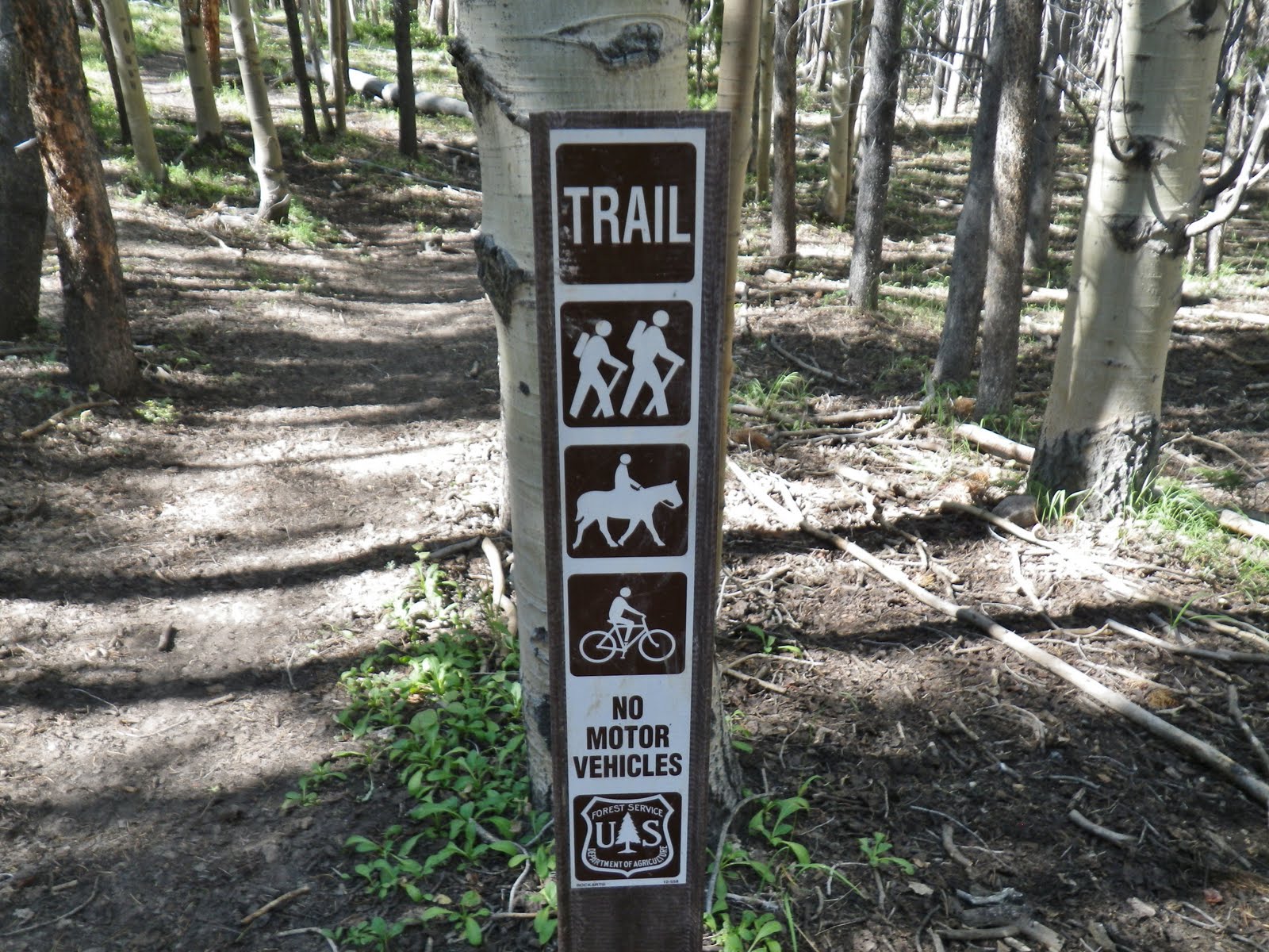
Also in the Wilderness Area you can’t camp within 200 feet of a trail, a lake or a stream. So keep on your toes to help maintain the wilderness.

I only make one small fire a day at dinner time. In this instance it was to cook for 10 minutes my scalloped potato meal. Cooking time for rice, etc. can be reduced by putting your meal to soak for an hour or so. A fish cooked in aluminum foil will also only take 10 minutes and much of the cooking can be from the heat of the coals after the burning has stopped.
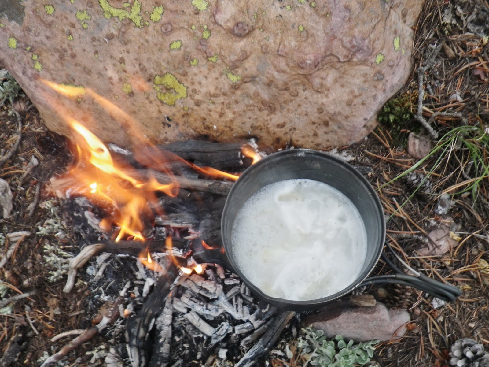
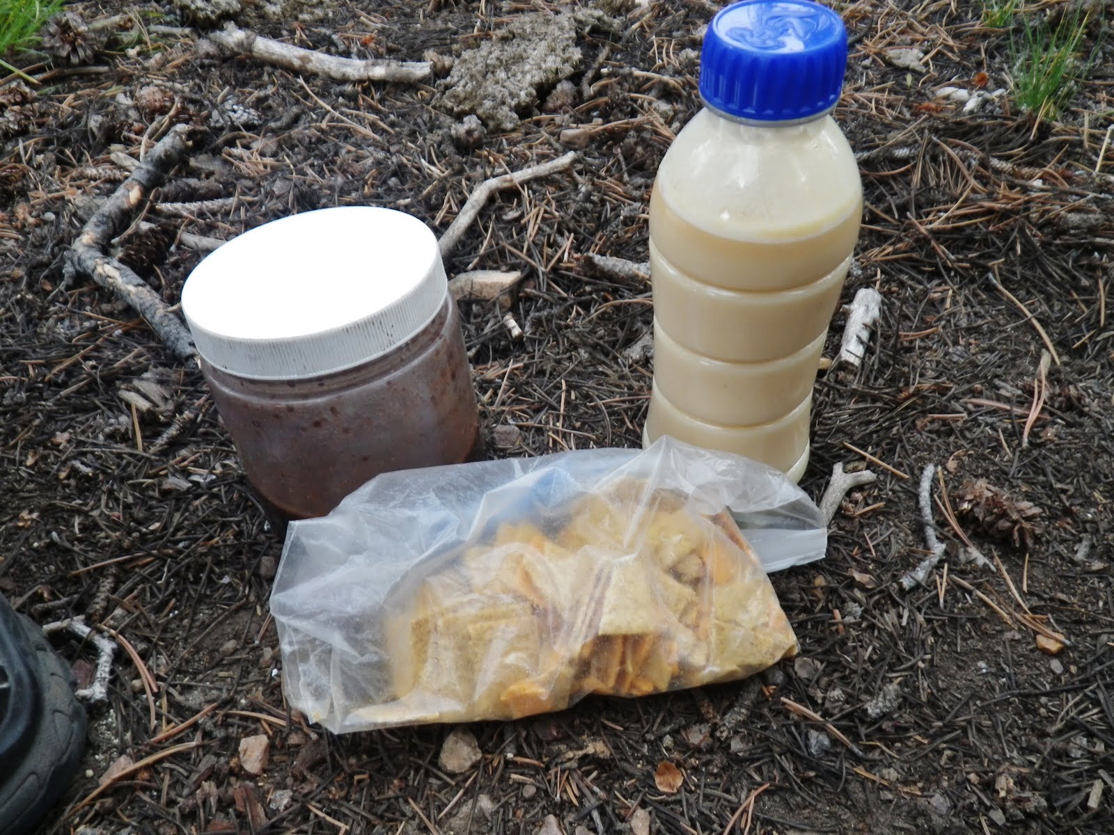
While the potatoes were cooking I mixed my egg nog, and my chocolate pudding. That along with a handful of wheat thins was my dinner. By the way, I don’t go backpacking to eat, cook, dirty a bunch of dishes I have to wash, etc. So keep it simple.
The next morning the fire spot was cleaned up LEAVING NO TRACE.
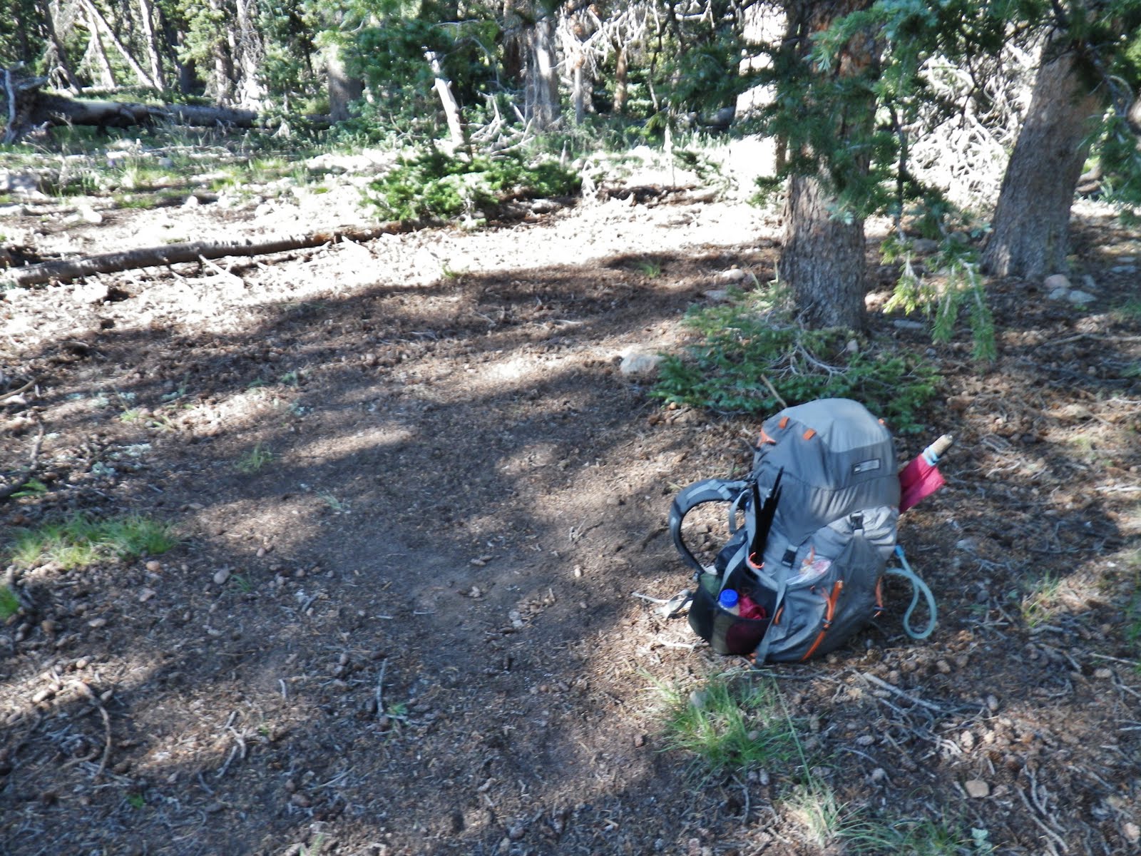
The same for my whole camping area leaving it as though no one had ever been there. ‘
So, remember:
LEAVE NO TRACE and TREAD LIGHTLY
The morning saw me heading up the Park again, seeing a bit more clearly Swasey Hole off to the west.
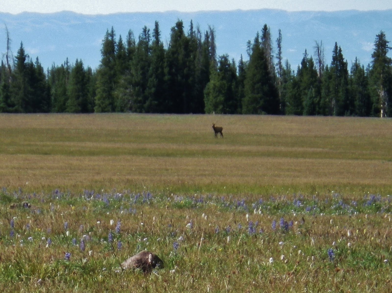
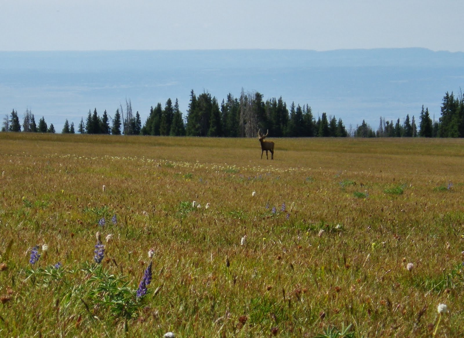
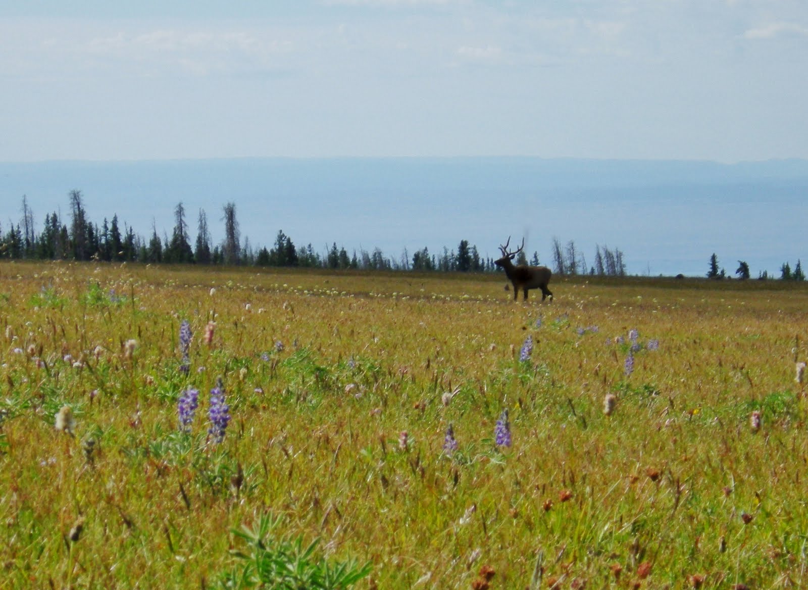
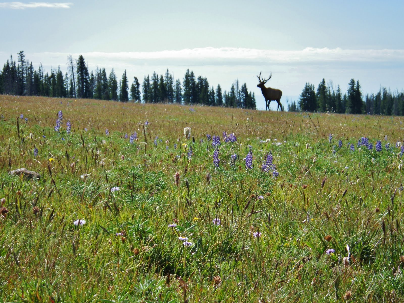
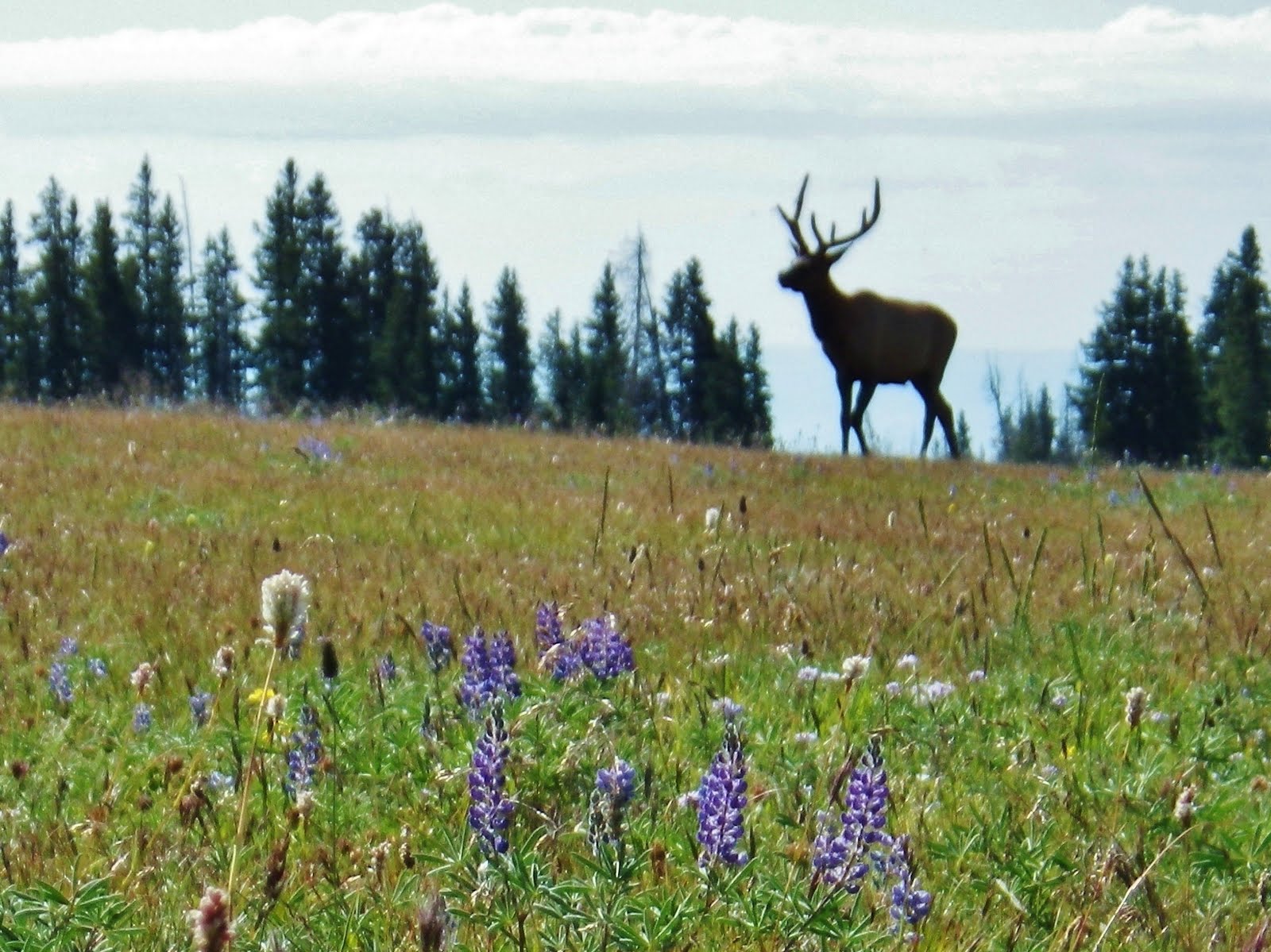
Up near the top while resting elk began wandering out in the park. Can you see them? Maybe it will help to click on the photo.
One gradually grazed towards me.
Soon I could see it was a young bull.
This was a moment when I wished I had my Nikon D-200 with 450 mm. telephoto lens.
The digital zoom in the little Pentax Optio was fine to about half of the maximum, then it got bad.
Still a worthwhile shot or two.
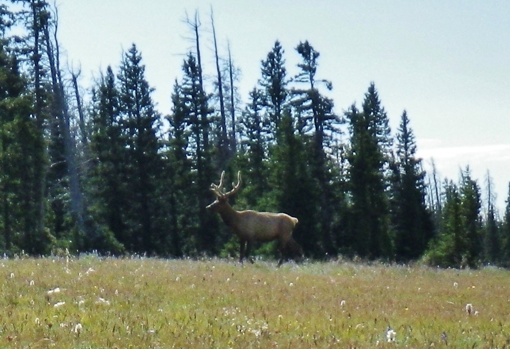
He was about to go into the forest so I made a sound to spook him.
Off he went to hook up with his buddies on the other side of the Park.
I did the last 100 yards or so to the top of the Park and followed a trail towards Crow Basin.
There, again, I found the bones of a critter who didn’t make it.
All of a sudden I was happily cruising down a gradually sloping meadow leading towards Crow Basin, with Flat Top Mountain perfectly framed. Wow, this was great just sort of coasting into the upper basin!
But, all of a sudden the dream was dashed by a wall of cliffs, and boulder fields.
So I was stopped at SPOT track l#21, but hoped to at least be able to get photos of many of the lakes.
Looking south I could see DG-1 and for me impassable terrain.
I scouted down a ways to see if there was a place, but none safe enough for me.
In the middle basin it was much the same, if not worse.
To look down gave me that butterfly feeling in the pit of my stomach. I guess I’m getting old after all.
Glancing up, towards the north and the upper basin it even looked tougher, but I thought that if I climbed up there maybe I would be able to see some of the 8 or 9 lakes up there.
I prepared to hike up as far as possible, leaving my pack there at track #21.
Notice that I clipped on my belt my SPOT Tracker. You can’t relax and get separated from this incredible little device that could save your life–or at least signal where the family could find your remains so they could collect the inheritance and insurance money without excessive expense!
This was my trail up to the top. My Mountain Running shoes were fantastic in making me nimble and quick to maneuver this kind of terrain.
I didn’t quite get as high as I wanted, but a drop or two or rain warned me to hurry, so I clicked off a shot, showing a couple of the lakes that were now visible.
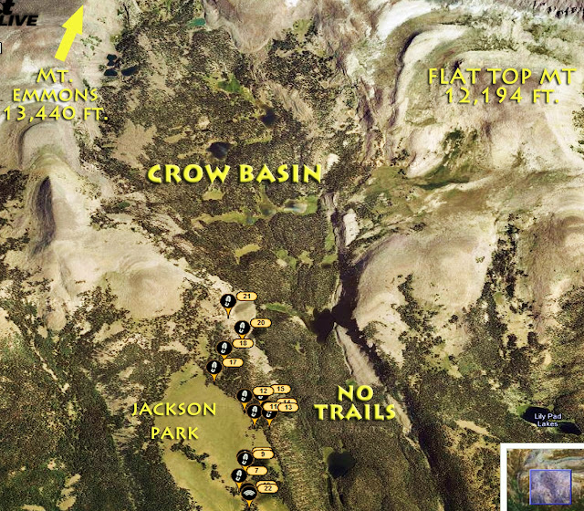
Here I pinpoint where all of the lakes are in the upper basin.
Flat Top Mt. from up high.
Crow Lake.
No name DG-1 lake. And then the rain began coming down a bit heavier. I headed back for my pack
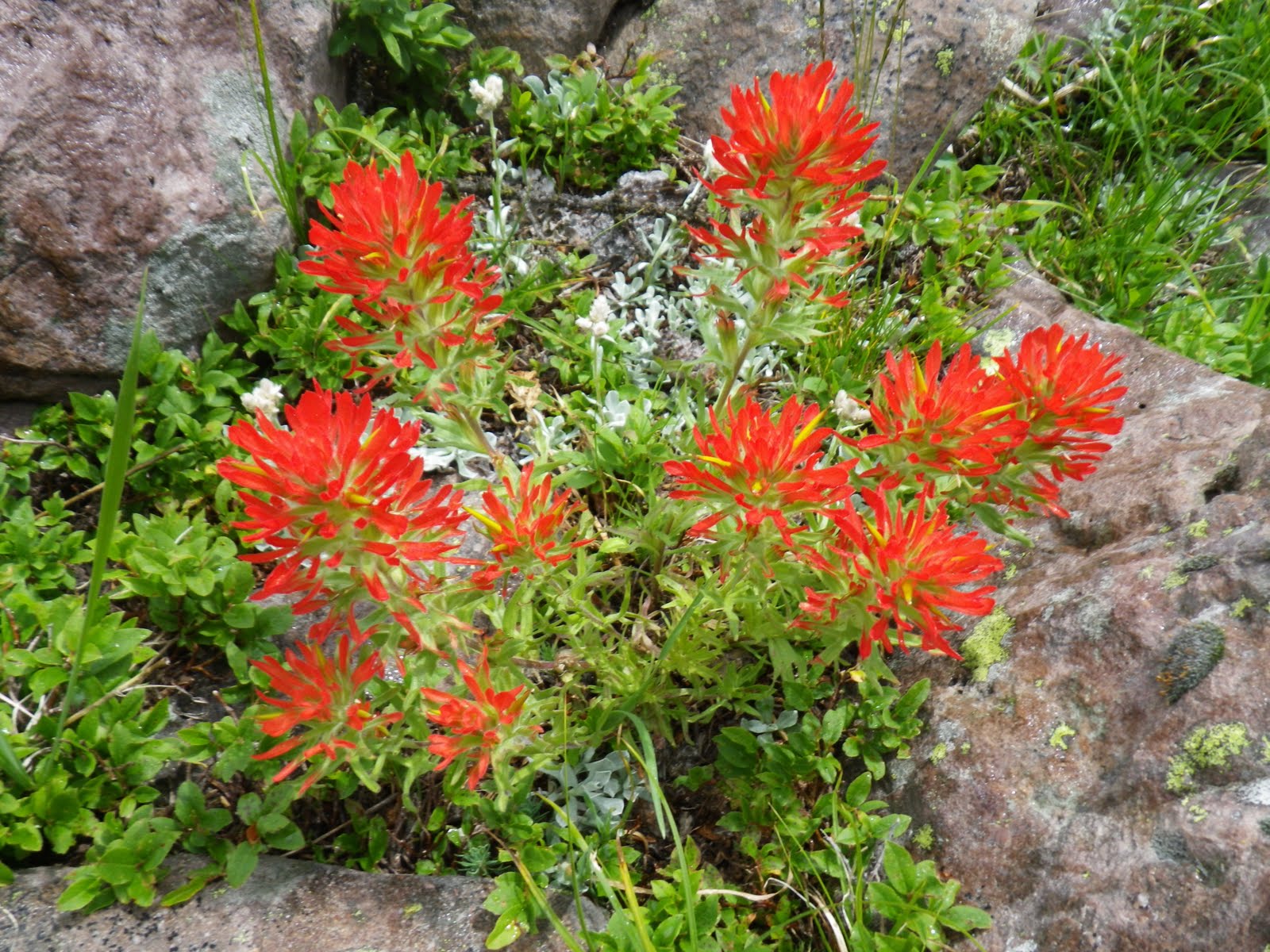
Of course I couldn’t pass on clicking off a shot of this luminescent quality paintbrush flower.
I hurried on to my pack that was a bit wet, shouldered it and headed for cover.
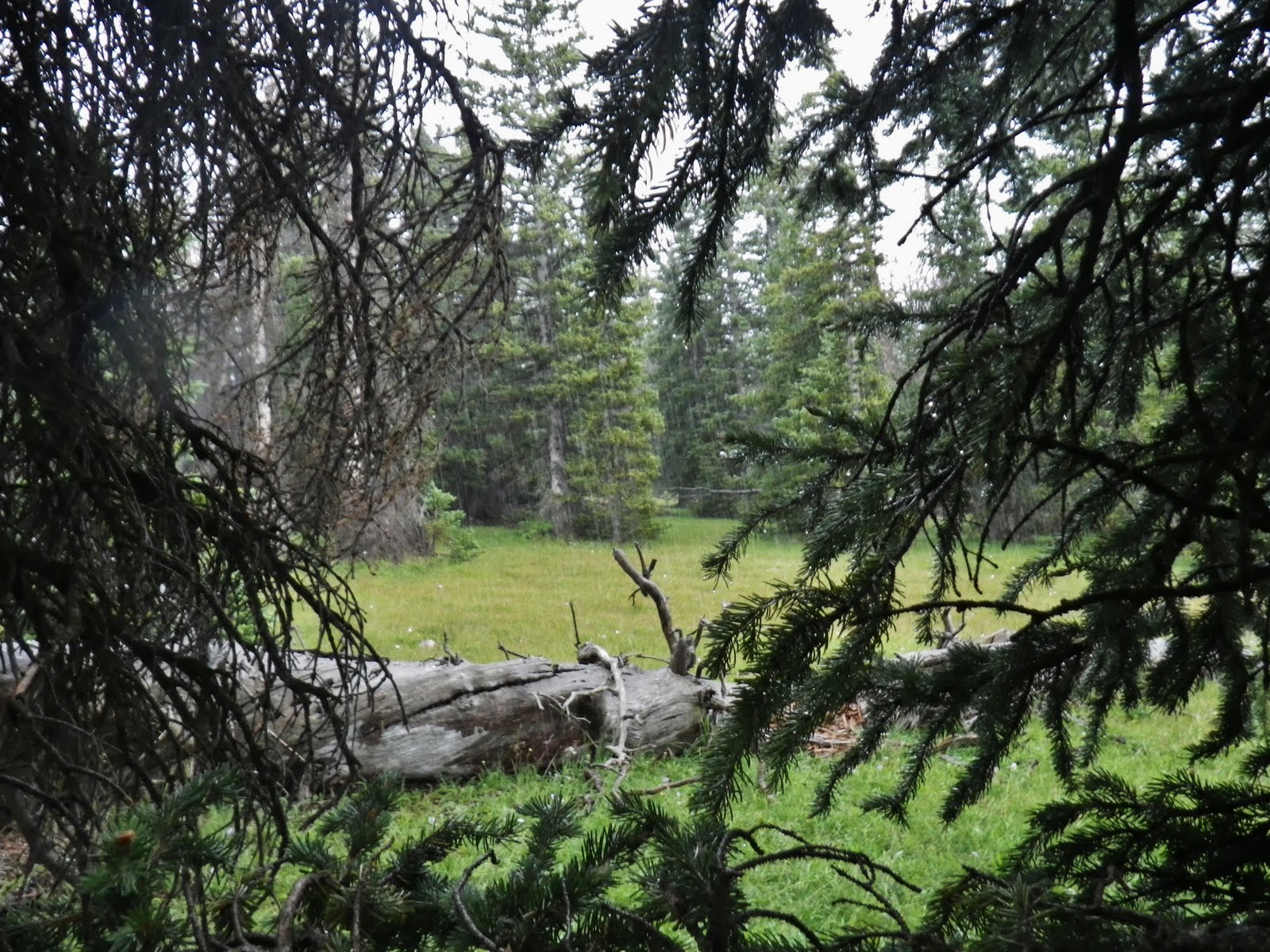
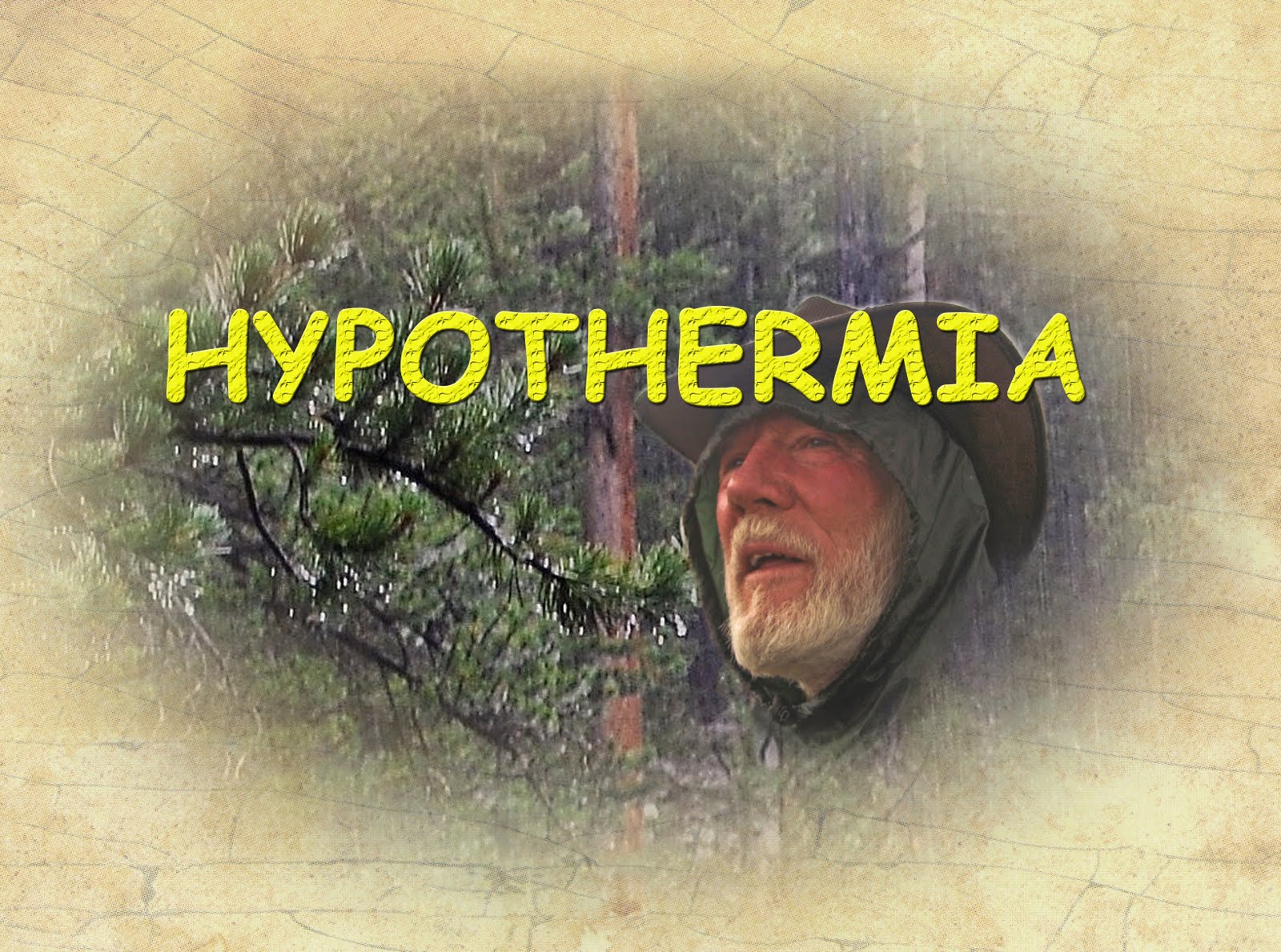
I had got just a touch wet in all of this, but not bad, yet the rain came harder and harder, then turned to hail, and the temperature plunged. It reminded me of an extreme situation I went through a few years ago when I found myself on the verge or hypothermia.
I have a profound respect for mother nature and go prepared to confront any dangerous situation that she throws at me–always trying to keep one step ahead of her to protect myself and have survival on my side..
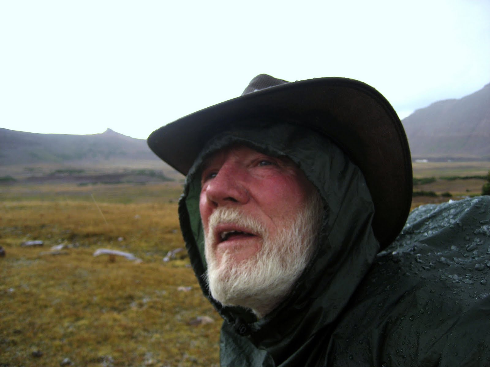
I had to keep hypothermia from happening and needed to get my poncho on and begin moving to keep my body warm. I got my poncho out and moved out of the tree cover.
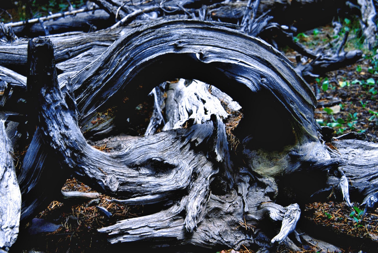
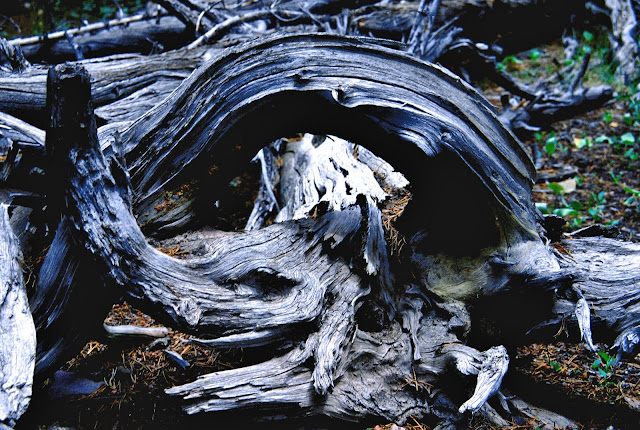
I was trying to hurry a bit too much as the rain was pretty hard, and as I gathered the poncho and threw it over my head and pack I lost my balance, which hasn’t been too good in recent years. I stumbled backwards over a dead log with its roots clawing at me. It wasn’t the one you see below–which shot I insert since I didn’t think to afterwards take a picture of the real thing.
I fell backwards over the log with my pack on and as I whirled around trying to protect myself got my left foot caught in the roots so that when I went down over the log my toe was snagged and as I fell backwards with all my weight and that of the pack my foot and ankle were bent back with tremendous force and I was sure it had to be broken as there was no way it could have withstood so much pressure.
There I was hanging upside down over the log only supported by my foot bent back to the extreme. I was flailing around like someone hanging on a gallows, but rather than freeing me it made it worse. “Okay, Lord, I need you again. Please give me the strength I need.”
That prayer calmed me some and I should have thought to pull my camera out and take some pictures, but of course survival was a bit on my mind. I was sure my ankle was broken, but first I had to get rid of my pack and have the hope of then freeing myself from the root. I wiggled out of the pack and after repeated attempts to contort my body up and grab for a root, I finally got one and pulled myself up on the log and finally was able to free my foot. It wasn’t broken, nor did I feel any pain at all. “Thanks, Lord, again for giving me strength and resistance.” I had been so convinced that the violent action and pressure had to have broken something, but to be freed and have no pain, seemed like the miracle of miracles.

I was convinced that all the supplements I have taken for years to cope with my joint problems and pain, and not accept the doctors advice in 1994 that I shouldn’t backpack anymore, all had contributed to making my bones, tendons, joints, muscles, etc. stronger than normal and able to resist what would have broken something real bad in anyone else. Of course coupled hand in hand with all of that is the constant physical conditioning, training and running in 14 consecutive International Half Marathons in Guatemala, backpacking now 1,500 miles in the Uintas in the last 9 years, and doing around 2,400 miles working at Reams over the past few years
It would be worthwhile for you to check out the article referred to above on my website, WHERE DO YOU GET SO MUCH ENERGY, and click on the links therein and start taking some of the key supplements that have saved my life.
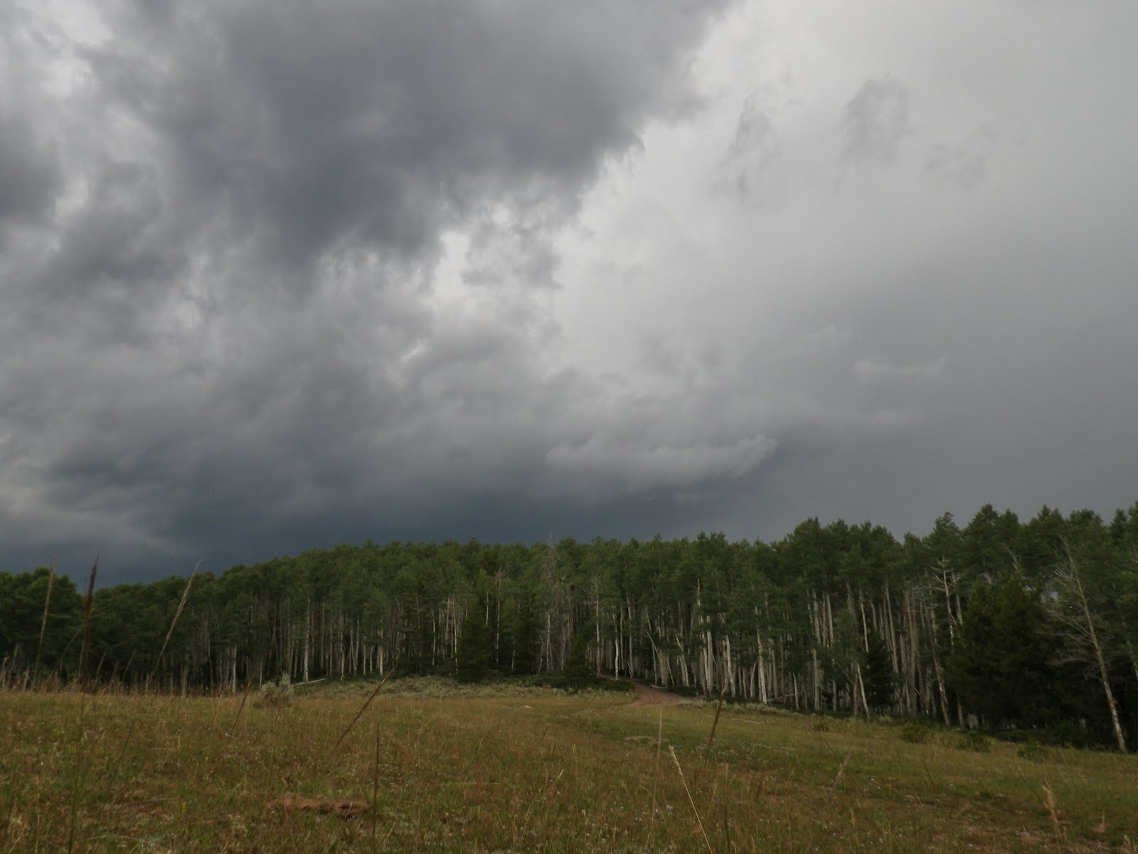
During all of that the rain had persisted in pouring down, so me and equipment were pretty wet. Even over wet clothes I put on the lightweight yellow rain gear, then shouldered my pack and successfully got my poncho on covering me and pack. I headed up , actually looking for a place where I could somehow set up my tent and get some protection. But there was just too much water everywhere so I kept moving when up at the highest point near Jackson Park the lightning and thunder began a vicious onslaught like I had never experienced.
The blasts of thunder and lightning hit exactly at the same instant indicating that it was right on top of me. I moved under the smaller, shorter trees avoiding totally being in the open. One violent discharge literally shook the ground and had wavy wisps of electricity dancing around me.
I had decided to head down the mountain, but I couldn’t venture out in the open to cross the Park. I stuck to the fringes moving south. Eventually the storm passed and the sun came out, and I quickly made it to the previous camping spot and source of good water. I spread my wet gear out to dry some, filled up with good water, mixed a couple of bottles of egg nog, and one of Endurox/Cal/Mag/Gatorade.
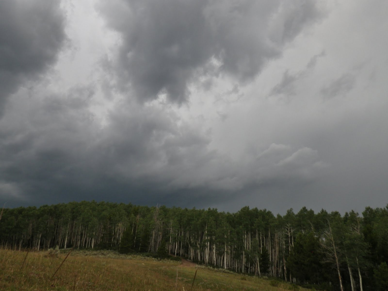
Then a dark lightning filled sky approached from the north, and I moved fast down the mountain to the south.
In 5 miles I only slowed a few times to down egg nog, then Endurox, and once an hour popped an FRS energy chew in my mouth. They are promoted by Lance Armstrong and I have found them very effective to increase energy, stamina and endurance.
I was pretty tired moving down the mountain, as the braking action was fatiguing and so I stopped once to rest for a few minutes.
That resulted in me having to quickly put my poncho back on about 200 yards from the car. But I made it, doing at least 6 miles from Jackson Park, and a bit more than 10 miles on the day. I moved down the road quickly before the rain turned it into a quagmire and happily got to the pavement .
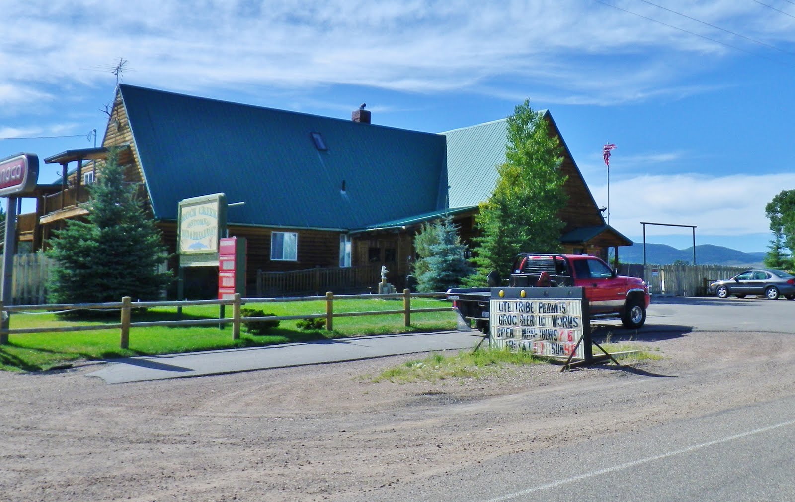
I hoped to get some food at the Rock Creek Store, but they were closed and so I went on to Duchesne, gased up, got some good food and headed up the highway.
I was worn out but grateful to have made it through quite an eventful day–to say the least.
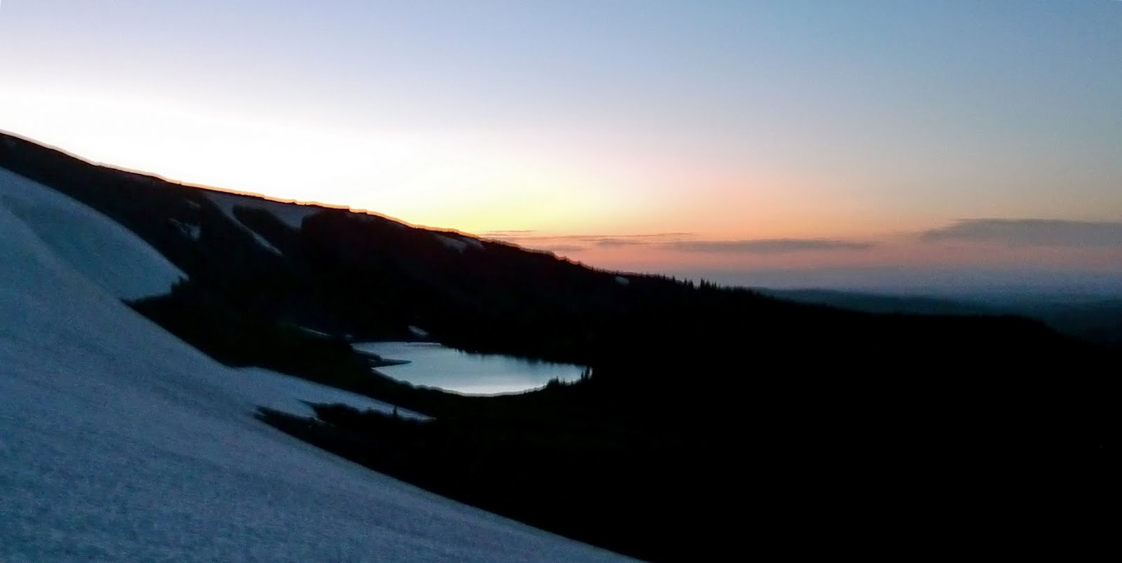
Fatigue go the best of me so up in the coolness of Strawberry Reservoir I stopped at the Strawberry River rest area and camped.
It was from here on Saturday morning that I warmed up the sat phone and made my call to KSL OUTDOORS Radio. In the interest of full disclosure, Tim, and Navi, my report to you that morning was from Strawberry as explained here–and it was cold that morning there.
Gave my report to Tim, Navi, and Jeff. Click on PODCAST to hear the report, my participation at the 6:47:45 point
As my backpacking is finished for this season, I want to thank Tim, Russ, Jeff and Navi for the great public service you perform through KSL OUTDOORS Radio.
Special thanks to Russ and Skycall Satellite for providing me a phone for the summer. I hope that my encouraging everyone to be safe in the outdoors by using a SPOT tracker, and a sat phone, gives a boost to your business, saves a few lives, and provides comfort to loved ones at home by receiving the OK message from loved ones each day while they are in the wilderness.
I will continue with my research and effort to put my whole project together, so will check in from time to time and always be listening.
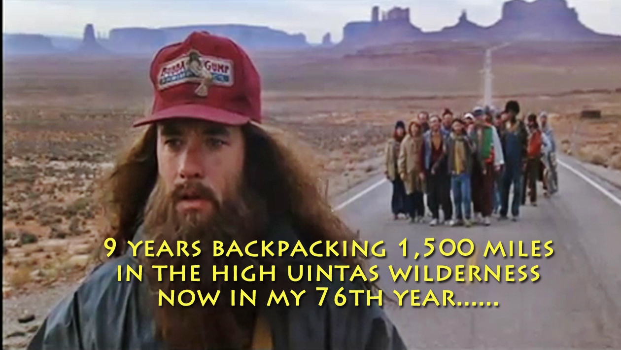
NOW FOR THE “FOREST GUMP MOMENT”
I will confess that recently this has not been quite as easy as it was back a few years. At times I have sort of “tongue in cheek” thought about Forest Gump and his experience running around the country for 3 years, and likened my 9 years and 1,500 miles of backpacking to his experience.
He had acquired a small following . Once out in the desert he stopped and turned towards them. One of them said, “QUIET. HE’S GOING TO SAY SOMETHING!”
I call that “The Forest Gump moment.” I have experienced it several times, including during this trip report I’m giving you.
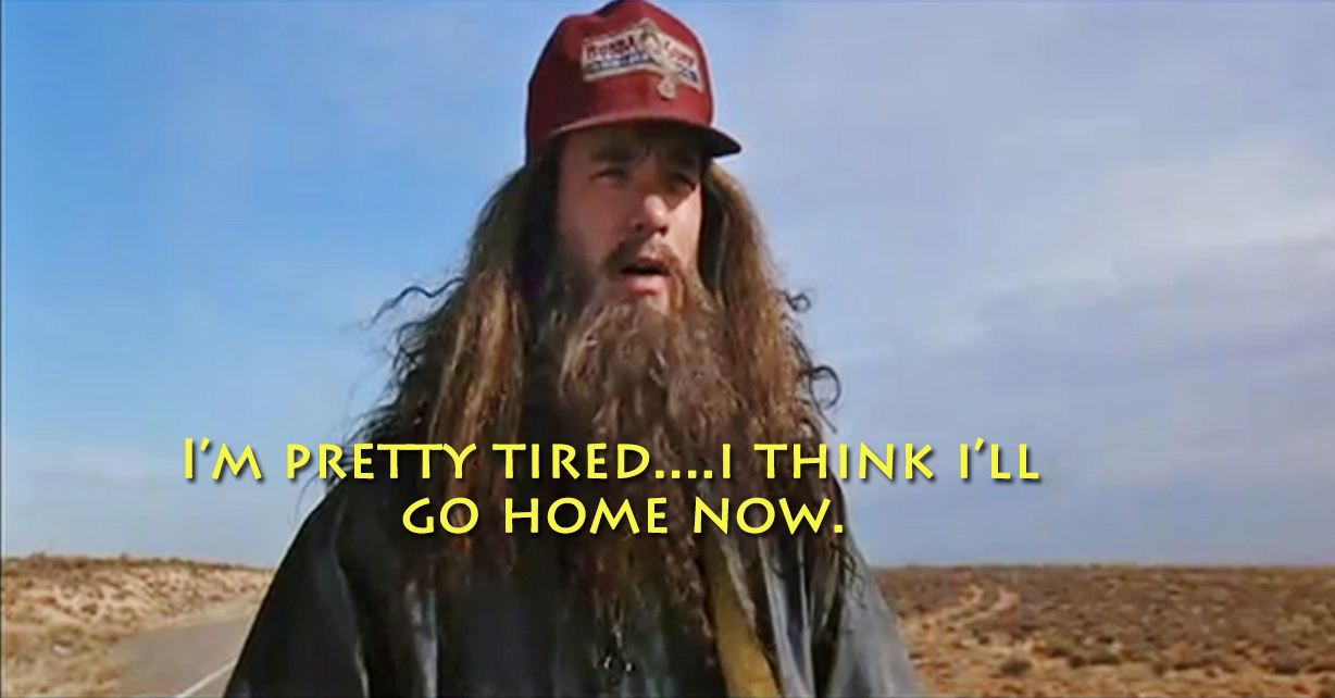
That’s what went through my mind after the two survival experiences described here when I was resting, drying my things, and mixing up some nourishment. I guess I should have remained, persisted right then at trying to get down into Crow Canyon, but frankly what went through my mind was,
“I’M PRETTY TIRED….I THINK I’LL GO HOME NOW.”
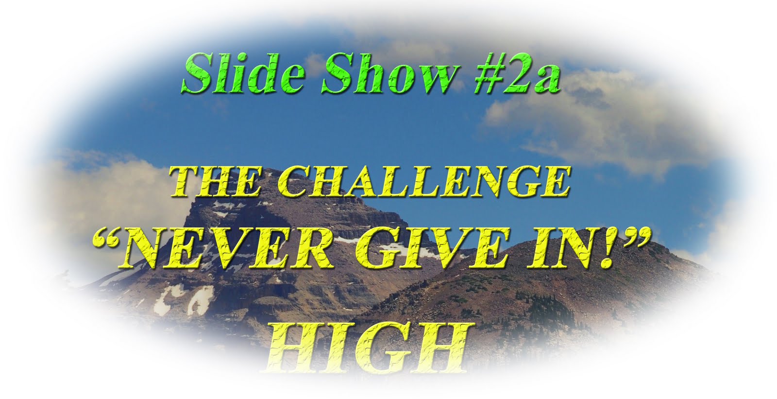
But, back at home and rested up I recalled my slide show of a few years ago with the theme seen below:
I think about that, and then look at my Google Earth maps of Jackson Park and Crow Canyon and think, “I CAN GET TO IT, BUT THROUGH LOWER JACKSON PARK.”
So, I might just do another backpack next year–and it will likely be to finally make it to Crow Basin.
Of course you young bucks out there could decide to beat me to Crow Basin, which would be fine. Just get to me a good report with photos I can put up on my website. So there’s a challenge I give to some of you, my High Uinta Friends.
Let’s all do our darndest to KEEP MOVING, NOT GIVE IN and learn to ENJOY SAFELY THE GREAT OUTDOORS!
Hey, and check out all the great equipment and supplements I have given you links to. They will help us hang in there and survive, so get the stuff you need from these links and in that way help the High Uintas Project and all of us to keep going.