Trip #7-2010 ONGOING TIE HACKER HERO SEARCH IN THE HIGH UINTAS


THE MILL CITY GHOST TOWN HOAX
The Mill City Ghost Town:  At the end of my last report seeking for this ghost town and remnants of the Hilliard Flume, I made the following comment:
I have to conclude that while I made some very important finds, I wasn’t really satisfied with what I had found.    I decided I had to do more research,  and then make another exploratory trip.
 I did a Google search for  
“Mill City ghost town” and “Hilliard Flume”  and found myself in the first  positions! I’m the expert?   Apparently we are dealing with history that is not too well known.  But, down the list I did find a site that pinpoints where the Mill City ghost town was.  I”ll insert the page and then comment.
This site pinpoints the location far off  to the northwest of my previous search, and where other information  has it located.  One example is a page from the Utah Historical Guide to UTAH GHOST TOWNS that I’ll insert below.
According to this publication I had been in the right area, yet I felt I had to check out the website that pinpointed it in another area.  So off I went on Saturday, October 2nd, first making a call to KSL OUTDOORS RADIO (if you want to listen to my report to KSL click on the previous link, and move the slider forward to 39:46).   One of my two Marine sons,  “Lito”  (Cordel Ammon) went with.
From Springville we drove over through Provo, up beautiful Provo Canyon, on to Heber and then to Kamas where we got on the Mirror Lake Scenic Byway (Ut. Hwy. 150).  Then up and over 10,759 ft. Bald Pass and down to the North Slope to the Whitney Road that heads west.

Below is an enlargement of the Google Earth view from the website, showing the Whitney Road winding its way west.


About 4 miles from the highway we begin winding our way down into the drainage of the West Fork of the Bear River, and in this shot see in the dead center a ranger station where we would park. .

 I’ll zoom in as that is the target area

The alleged site of the ghost town would be in the direct center of this photograph.

We have crossed the West Fork Bear River and looking upstream towards the  target area. In the distance is Gold Hill, on the other side of which I found a couple of weeks ago remnants of the Hilliard Flume and  what had to be the ghost town.

Up the road a half mile there is a crossroad, our road would be to the left or to the south.

For those interested the sign will orient our spot on the map.

We head for the ranger station.
To this point it is a bit over 7 miles from Highway 150.


In front of the hut we look east  towards where the red balloon pinpointed the ghost town. 
Lito is pointing towards where the ghost town was allegedly located.  Is that mysterious foggy formation in the middle “the ghost?”  or maybe a greasy fingerprint on my lens?
We are here in the middle of the spot, looking up towards the hut.  The only thing close to human related remains were cow patties!  After walking all over, up and down the stream, we concluded that the referred to website is at best a mistake, at worst a hoax–which seemed to work at least with us suckers!  But for sure we got to see some great country I hadn’t visited before, so it was more than worthwhile.

We checked out the West Fork of the Bear–quite small with beaver dams here and there.
We are seeing a portion of  hundreds of miles of High Uinta streams seldom if ever fished.

It was just a short drive, so we decided to check out Whitney Reservoir.  Most of its water was gone, but apparently an agreement with the Division of Wildlife Resources assures enough water left to preserve the fishery. 
With that we finish the exploration for the Mill City Ghost town, concluding that the site we got from the Internet is non-existent, with the true site located at Gold Hill as reported in the previous report:  The Mill City Ghost town and Hiliard Flume

Trip #6-2010 SEARCH FOR MILL CITY GHOST TOWN & HILLIARD FLUME

 THE  ONGOING SEARCH FOR THE TIE HACKER GHOST TOWN–MILL CITY  and THE HILLIARD FLUME
INTRODUCTION:  After the demands of the transcontinental railroad for railroad ties was satisfied  by the tie hackers producing millions of ties and sending them down the Uinta’s North Slope rivers into Wyoming from 1867-69, the need for some ties, plus other wood products continued.  From 1873 to 1880 the Hilliard Flume and Lumber Co. became a major provider of railroad ties, mine props, cord wood, etc. to the railroad, and others users.  In Hilliard, Wyoming  a series of kilns were constructed, as also in Piedmont a bit further to the east, where cord wood was turned into charcoal for the railroad, and iron smelters in Utah and elsewhere. The Company hatched what was hoped would be a more efficient transportation method.   A 36 mile long wood flume  as you see below was constructed to Hilliard from the Gold Hill area of the Uintas west of the present Mirror Lake Scenic Byway. 

The flume was V shaped about 36″ x 36″ built with heavy 3″x12″ planks.  As it went down the mountain maintaining a consistent downward angle that kept the water flowing at 15 miles per hour, it at times went through cuts dug through the rocky terrain, and at times was held up by a trestle one report says as high as 16 feet,  and at its end in Hilliard was 30 feet high  with the train passing underneath it with passengers incredulous  describing it  as an “engineering marvel.”  as you see below.

 80 tons of square iron spikes were used in the construction that in the beginning was known as “Sloan’s Folly,” but the engineering feat was successful for 7 years and perhaps more.  The water would move the wood products along about 15 miles per hour, making it to Hilliard in about 2 hours. 
For background information you can go to my other reports, such as:

The High Uinta’s TIE HACK HEROES


Trip #2-2009 Hot On the Trail of the Tie Hacks


Trip #3a REPORT–Search for the Howe Feeder Flume and BEARTOWN


Trip #4–NEVER GIVE UP–FIND THE HOWE FEEDER FLUME!


The Hilliard Flume began in a tie hacker town called Mill City on the slopes of Gold Hill in the Western High Uintas.  It was a town of up to 500 people as described below:
My objective on Thursday, September 16, 2010  was to find remnants and ruins of the flume and Mill City.  My search would begin where last year I found a cut made for the flume and in that area  search for traces of it and continue up the mountain and hopefully find the ruins of the  Mill City ghost town.

The Google Earth view seen below will indicate where I was to travel–from Springville, Utah up through Heber, Kamas and then on the Mirror Lake Scenic Byway onto the northwestern slope of the Uintas.

It was a beautiful drive with the vibrant colors of autumn all around me.

The Provo River Falls was a bit different than normal, with low water, but always gorgeous.


Foxtrails along the highway were long gone at the lower elevations, but were impressive up over 10,000 feet with a beautiful reddish/purple  hue.
 

As usual I had to pull in to the Highline Trailhead parking lot to use the facilities and check the register for late season backpackers.
I was pleased to find the name of my young backpacking friend, Nick Edwards, who I had met at Ryder Lake back a few years.  On September 15th he went adventuring over through the Four Lakes Basin, up and over Cyclone Pass and on to remote Thompson Lake.
The Forest Service sort of goofed this year by not having a register at this most famous of High Uinta trailheads.  Apparently backpackers provided  an assortment of pages from notebooks, etc. to sign in.
From there you continue north dropping down and 45 miles from Kamas (and about 100 from Springville) you come to the turnoff road to the west. 
A 100 yards or so up this nicely graded road you come to the sign you see below describing the Hilliard Flume.

About 3 miles up the Whitney Rd. you come to a turnoff to the south. 
The road is narrower, but still passable if the weather is dry.

You continue south for about 2 miles and Gold Hill comes into view.

Then you come to a fork in the road and veer off to the east side of Gold Hill.  The road quickly becomes a bit tough, and eventually I parked and continued on foot.

The creek you see below had very little water, and I began wondering where they had found enough water for the flume.  Was there greater water flow 150 years ago?  Did they only operate the flume in the early months of summer when the runoff was high?  I will have to do more research to learn the details of this fascinating period of western history.

After an hour or so of hiking I noticed off to my left some glittering of broken glass.  Up the road a bit a very faint side road led me towards the area.

I began finding very deteriorated ruins of cabins, but made from planks, rather than logs.
I was undoubtedly finding an old camp, but from what period?  The Hilliard Flume was from the 1873-1884 period.  The next tie hacker period was from 1912 to about 1935.
Among other things I was looking for nails, mainly square nails which would clearly indicate the Hilliard Flume period, as explained in my report on the Howe Feeder Flume.   Soon I found nails  like you see below  called “wire nails” that began being produced  around 1910 and is basically the modern type of nail used today.
Square nails  were used to put together the flume, such as you see below  found when I discovered remnants of the Howe Feeder Flume on the Main Fork of Stillwater Fork.  As mentioned, 80 tons of such square nails were used to put together the Hilliard and Howe Flumes.  These were called “cut nails” production of which began  around 1700 and continued until around 1910 when mass production of wire nails began. 

Prior to the square or cut nail, nails were hand forged square nails, but tapered on all four sides.  Cut nails were actually machine produced by a shearing process and only tapered on two sides.  In pre-1850 America nails were so scarce and expensive that people would even burn down dilapidated buildings, and sift the ashes for the nails. Pulling them would have damaged them.

A bit further along I found galvanized nails as you see below.  It would be natural to assume that these nails were even more modern, but actually the galvanization of nails, to prevent corrosion, began in 1742 in France, but in very crude form galvanized nails have been found dating back to 3000 B.C, and later the Romans hand forged and galvanized nails as did the first pilgrims in America in the 1600’s.  

The first American company to galvanize nails was established in the early 1800’s but they were “cut” or “square” nails, not wire nails as you see above. Said company still exists today–The Tremont Galvanized Nail Co.   The wire galvanized nails you see above  had to be from the 1900’s and not from the Hilliard Flume era. 
 I then came to what I saw from across the creek, apparently a garbage dump–that have archeologists salavating.

Below I’ll insert photos of the least deteriorated artifacts found here.  All apparently from the 1900’s.

This is the most common brand of peanut butter up to 1950. 

In  the camp area, I then found a wood burning stove you see below similar to what I also found among the ruins of the Steel Creek Commisary, a tie hacker site near the Hewinta Guard Station on the West Fork of Smith Fork  from the 1912-1935 period.

Nearby I found what seemed to be an old outhouse hole you see below.

This area was about 1 mile from the end of the road included on maps and Google Earth.  I concluded that I was way too far  up the canyon for the location of the Mill City Ghost town.  I turned around and headed down the canyon that had become quite narrow, with almost no water at all in the creek.

A few hundred yards above where I had parked, due to the rough road, there was a side road.

This road only continued for a few hundred yards, but in one section showed a very old system of making it passable, as you see in the photo below.

From where I had parked  the canyon widened some, and I began working my way down, crossing back and forth across the canyon to not overlook anything that wasn’t natural.  My first finding was a very old pile of logs mostly rotted away, seen below.
Then I began finding ruins of very old cabins.
The one below seems to most likely be a loading platform.  The flume would have passed  right in front.
There was a very clear path, but  at times  mostly hidden by vegetation as you see below.
A couple of hundred yards away I found another loading platform next to the flume path.
Here is one of the stretches where the flume path was very distinct.  After the flume fell into disuse, the wood was cannibalized  here in the Uintas and all the way to Hilliard by ranchers and others and used for ranch buildings and firewood.  I searched carefully hoping to find some remnants as I had done with the Howe Feeder Flume, but there was nothing.  I was at least hoping to find some nails, but no luck.  Undoubtedly they are there, but careful excavation as done by archeologists would be necessary–and eventually I’ll do some of that.
Another loading platform looking north.
Below looking west you see the same platform in relation to the creek below and the road.
Below we have crossed to the road side where the meadow ends and the canyon narrows some.

As mentioned the creek certainly doesn’t have enough water to supply what the flume needed to function.  This is one of the mysteries I have to solve.

Here we see the remnants of what was a dam across the creek.

Another few hundred yards down the canyon the stream bed widened creating again meadows with abundant willows, and I noticed a log structure over on the side where the flume path was.

This again appears to be another loading platform.  Below is the same structure, but photographed last year at about the same time, but apparently a wetter year with greener vegetation.

A very deteriorated cabin in the same area.  100 yards downstream I came to what appeared to be another dam you see in the two photos below.

Off to the  side of this damned up area, we find the cut that I found last year, seen below, looking out into what would have been the pond area.

A view of the same cut this year is seen  below.

Below we are out in the meadow looking into the cut.
Below we are following the cut down the canyon.
The cut then enters a segment of greater vegetation. 
We are now downstream looking up into the vegetation clogged cut.
From this point the flume path begins leaving the roadway, and veers off down a side canyon.  Below you see the Google Earth view of my explorations described here.  You see my SPOT tracker icons.  

Below is  seen the area of my explorations, then the path of the flume down to where it crosses the Mirror Lake Scenic Byway just a bit above the Gold Hill Road.  You can also see the Area of the Howe Feeder Flume, and its path down to where it joins the Hilliard Flume.

I have to conclude that while I made some very important finds, I didn’t really find what must have been the site of the Mills City Ghost town.  I decided I had to do more research, both in the Utah Historical Society, and the Wyoming equivalent, and then make another exploratory trip. 


 I did some preliminary investigation Googling  “Mill City ghost town” and “Hilliard Flume”  and found myself in the first two positions! I’m the expert?   Apparently we are dealing with history that is not too well known.  But, down the list I did find a site that pinpoints where the Mill City ghost town was.  I”ll insert the Google Earth view below and then comment.

The road you see crossing the image is the Whitney Road.  The Mirror Lake Byway is to the right out of the picture. The red balloon pinpoints what this site calls the Mill City Ghost Town.  In the image below said balloon would be in the upper left hand corner.  Gold Hill is way down in the lower middle.  There is no way that the Hilliard Flume could have originated at the red balloon.  So on the October 2-3 weekend, with warm weather predicted I will go again into this area, seek out the balloon ghost town site, then likely back to Gold Hill and do more searching and hope to be able to follow the path of the flume all the way down to the highway.  I will also search for and photograph several other tie hacker sites I haven’t visited yet, and report.

I will of course use my SPOT TRACKER–in fact I’ll program it right now so you will be able to track me on the weekend using the following link:  SPOT TRACKER   I won’t have a satellite phone, but will try a call to KSL OUTDOORS Saturday morning with a normal cell phone as I drive up into the Uintas.


ANY COMMENTS WILL BE APPRECIATED.

Trip #5-2010 WEST BEAVER CREEK-GILBERT PEAK

THE BEAVER CREEK DRAINAGE and UTAH’S 3rd HIGHEST PEAK
A Lessor Known drainage of the High Uintas Wilderness
INTRODUCTION:  As always I will take you with me on this trip, showing you my exact route to enable you to go there too, and give you a taste of the journey to the Trailhead, and then up into the Wilderness.  If you desire seeing more of what I experienced and photographed, you can go to my Picasa Web album, but the text will only be here in this article.  In the album click on the first photo and then one by one, or click on “slide show.”
I will begin my report showing the  Uinta Mountain Range and the route I took to get to the northeastern Beaver Creek Drainage.  The Division of Wildlife Resources describes the area as “remote” with most of its lakes “seldom visited” and a good area for those seeking “solitude.”  As I would be going into such an area alone I began my SPOT Tracker route (#1) in Salt Lake City at the home of Russ Smith and SKYCALL COMMUNICATIONS where Russ provided me with a satellite phone.

To rent a satellite phone, or SPOT Tracker go to SKYCALL COMMUNICATIONS.
This is the new satellite phone Russ provided me with to use to call KSL OUTDOORS RADIO on Saturday morning, and for use in case of any emergency.  

LET’S GET GOING!
As you can see from the Google map I traveled up I-80 thru Evanston, Wyoming and on to Ft. Bridger and thru Mt. View (116 miles from SLC) where you can gas up at the Maverick and get whatever you might have forgotten at the supermarket.  From there you can head south towards Robertson and hit the turnoff towards the Henry’s Fork Trailhead and from there east on the North Slope Road, but I took the route with the most pavement–towards Lonetree and  Green River.
This panorama was taken between Mt. View and Lonetree looking south across Wyoming badlands towards the  High Uintas.  On the far right you can see (barely) Red Castle Peak and Mt. Wilson, then Mt. Powell, and to the left center Kings Peak (highest in Utah) and South Kings Peak (2nd highest), and on the far left dominant Gilbert Peak, 3rd highest in Utah at 13,442 ft.

Why head for the little known West Beaver Creek Drainage, Gilbert Lake and Peak?

In my now 1,410 miles of Uinta backpacking since 2003 I have had special experiences photographing magnificent mountains and the nearby lake of the same name. First is Kings and South Kings Peaks you see below.
In the southern shadow of the two Kings Peaks is found rarely visited KINGS LAKE which you see below.
The sign was so weathered that only the “IN” WERE legible.  I filled in the blanks with my little Leatherman Squirt tool.
Another impressive mountain, in fact the one many call “the most beautiful mountain in Utah,”  Red Castle Peak, also has its lake you see below in a stunning panorama (if you want to see all the Red Castle Lakes click on this link  and go forward a bunch of times).
Utah’s 3rd highest, GILBERT PEAK (13,442 ft.) also has its lake, GILBERT LAKE, and I just couldn’t rest until I got shots of the duo–so off we go to the remote Beaver Creek Drainage. Gilbert Peak is named for Grove Karl Gilbert a geologist of the Wheeler Survey of 1871-75, and the Powell Survey of 1875-1879. 
As we head south Gilbert Peak begins coming more into view.
At about this point the highway crosses the Henry’s Fork River, and then you come to Lonetree.
The highway curves a bit to the east and soon you come to the turn-off going south.
As you will see this is the right path to take.  On the highway a sign indicates it is 32 miles short of Green River ( and about 21 miles from Mt. View or 137 miles from SLC).
Here we are heading south towards the Uintas crossing Wyoming cattle country, but those lines of trees mark the streams coming out of the Uintas and are in Summit County, Utah–dozens and dozens of miles of streams that are rarely if ever fished.  Soon I’ll be circling the Uintas with my tiny house trailer to check all of them out and get material for a new book.  NOTE:  By the way several of my High Uinta Friends have been pushing me for some kind of book on the High Uintas.  I just need a couple of real experts and people in the field to help guide me putting it together.  It will be like none other with chapters on the heroic tie hackers, the “liveliest if not the most wicked town in America–Beartown,”  lost gold mines, a little known High Uinta gold rush, a life and death Uinta whiskey bootlegging  operation,  etc.   Contact me if you can help in any way.

 We are now getting into Beaver Creek country, with a turn-off to the left.
The left fork takes you to Hoop Lake and along the way you can see Hole in the Rock.  This is not the famous Hole in the Rock of Butch Cassidy fame, nor the one of the Mormon pioneer saga.

At this point you have come 8 miles from Lonetree.
We are traveling west with Beaver Mountain to our north.  Do you see the wildlife?


The Trailhead is a short distance from the main road.  As you can see the  13-14 miles on dirt roads can easily be handled by any car.  In fact below at the Trailhead you see a luxury car.
It’s a very small and simple trailhead with little use.
You can see in the Forest Service Register very few people have visited the area this year.
The “Brown”  party above my entry was from Wisconsin.  I would meet them the next day.

Here you see, after the fact, my route during the next 4 days.  Click on Google Earth to zoom in on this area.   You can’t distinguish it here, but the maps indicated that I was going to have to ford the stream at least 2 times.  So this time I went prepared, with my wadding slippers.
You will note that I don’t use the big, bulky, heavy plastic ones used so commonly nowdays.  I got these very light, effective slippers at REI a few years ago.
If you know me by now, you can expect me focusing a lot on the beautiful wildflowers of our foothills and mountains.  This one was right at the Trailhead–Sub-alpine gumweed.  I will only insert a few in this report out of the more than 40 varieties I counted in bloom on the trip.  For the more complete collection go to:  WEB ALBUM  At the end of the season I will upgrade my two wildflower albums, likely increasing the number to over 245 varieties.  For what I’ve got so far (thru 2009) go to FOOTHILLS  and   ALPINE
Up we go along West Beaver Creek.
An always beautiful  red squirrel eating a mushroom along the trail.  As you will see I began focusing more on the many varieties of mushrooms, most of which are poisonous, so don’t fool with them–unless you are a squirrel and know what you’re doing!

Prior to getting up to the North Slope Highline Trail you cross into the Wilderness Area.
This  is a far cry from the main HIGHLINE TRAIL that follows the spine of the mountain range and is used by many hundreds and even thousands of outdoor lovers each year.  This Highline Trail is quite faint in many areas.
To this spot it is about  6 miles from the Trailhead, and 3.5 miles over to the Middle Beaver Creek Trail.  The trail to Gilbert Lake is just down across the stream and shortly heads south up the West Beaver Canyon.  Someone scratched it in for us on the above sign.
 
My map indicated that a couple of miles upstream the trail crossed again the stream coming back to my side, so I decided to be cute, avoid fording the stream (in the bad light) and just bushwhack up the west side of the stream.  I did so for a couple of hundred yards and it was easy going–so I was convinced my decision was a good one.  I camped for the night, had a good meal, and tested very successfully the new satellite phone.  What you see below isn’t what I encountered prior to camping for the night.  I’ll get to what you see below, but first “the night.”
At about 10:00 p.m. I was snugly in my tent with headlight on and doing some scripture  reading when all of a sudden all hell broke lose outside my tent with loud voices and bodies stumbling through the forest around me.  “ARE YOU ALRIGHT?” shouted a manly voice.  
“Of course I’m alright, as long as you guys don’t plow into my tent!”  I replied.
They asked me where the trail was and I told them it was on the other side of the stream–but thought I should have asked, “Where the trail is depends on where you’re going.”  They stumbled off up the canyon  but apparently stopped and  camped  a few hundred yards away as I kept hearing them having a rowdy time most of the night.  
The next morning I was on my way and soon found my “cute” decision to  bushwhack up the canyon got turned on its head and, to use the  vernacular (as Paul Dunn used to say), I had one hell of a hike!
WOW!  What great exercise.  The fascination of nature of course helped make it bearable.

Eventually I came to a couple of nice streams that crossed broad meadows coming from the west.  I assumed they came from some large marshy areas shown on the map.  With each I finally was able to find some sturdy logs to inch my way across.  I was now viewing the mountains that form the backbone of the Uintas.  This one is Anne Peak,  12,713 ft. high–964 feet higher than Mt. Timpanogos.
Further to the east I found the trail that quickly climbed up the canyon into the high country and there I was in full view of Gilbert Peak, with West Beaver Creek to cross.  Apparently the several streams I had crossed down the canyon were the same stream that for a distance was divided.
As I was getting my wadding sandals on the backpackers from Wisconsin came visiting.  They had been there for several days, deciding to camp out an hour or so down from Gilbert Lake as they said it was so windy up high that their tents would have been blown away.  They had backpacked in the Wind Rivers and other alpine areas of the West but loved the  High Uintas.  In their exploring of the high country around the base of Gilbert Peak they had seen elk, a very large coyote (maybe a wolf?), and every afternoon observed moose feeding in shallow Gilbert Lake.
I said goodbye crossed the stream and headed towards Gilbert lake.  Small wildflowers were everywhere, like the common brilliantly yellow  stonecrop that seemed to be everywhere.
Most of the flowers are very smal– so tiny that many don’t notice hardly any of them.  I have felt it part of my mission to focus on them, zoom in and enlarge them enough so all can appreciate them and be inspired by these incredible creations of the Lord.


Finally I made it to Gilbert Lake in the shadow of Gilbert Peak, and put off setting up my camp as I was fascinated by the beautiful flowers, including one I have only seen once before.  It is Old Man of the Mountain, most of which were in the final stages of their life.
My only other photo of this flower is seen below, on the eastern slopes of Kings Peak on the way  to Trail Rider Pass.


The night before I had done as Russ Smith suggested and tried out the new satellite phone.  It functions with just one satellite fixed due south over the equator.  So it had to be aimed low to the south.  It had worked well in my first camp, except through the side of the tent.  Here at Gilbert I had to position  the tent opening due south aiming for the saddle to the east of the peak. That way I would be able to make my call to KSL OUTDOORS without getting out of my bag in what was cooler than normal weather.  I tried it out calling one of my kids and it worked fine, so I was ready for the Show.
At 6:00 a.m. I was awake listening to the program on my tiny Grundig radio. I finally got a strong signal and talked to Tim and Russ.  
 If interested  you can listen to the podcast at:  KSL OUTDOORS PODCAST at about the 6:43 a.m. time slot.
Tim Hughes runs the show for KSL.
Russ Smith is his partner talking to those who have his satellite phones all over the world–including a few years ago from the top of Mt. Everest.
I was soon up and on my way to make a swing around Gilbert Lake, and then up above timberline checking out the fishing in all the lakes I could get to.  Gilbert Lake is extremely shallow with murky water due to wind action.  With very cast I only caught moss.  Even the Division of Wildlife Resources say it is only 2 feet deep, but nonetheless “offers good fishing for native and brook trout that sustain themselves by natural reproduction.”    Why such a shallow lake doesn’t totally winter-kill is a mystery to me.  Fly fishing would be the way to catch trout there.  I headed for the upper lakes.
On the way I photographed this beautiful flower that I also have photographed on the Bald Mt. Trail, and above McPheeters Lake in Stillwater’s Middle Basin, but haven’t identified yet.  If you know, send me an email.  I will appreciate any help I can get.

Looking back at Gilbert Lake as I climbed up towards timberline.
A beautiful example of Arctic Gentian.
I first did a lot of hiking looking for what was a lake years ago, supposedly formed by a large beaver dam, but apparently it has disappeared with only a few shallow ponds remaining.

My tiny 2 inch long tool gives an idea of the size of these tiny flowers which many hikers wouldn’t even notice.

Gilbert Peak from up where I was looking for GR-153.
I then came back down to the larger upper lake, GR-151.  It  again has sort of turbid water with only a 11 foot maximum depth, but  supports  natural reproducing  brook trout.
I caught many small brook trout here–none in my opinion large enough to keep for my lunch.
The lake is fed by a waterfall coming down from a small upper lake, GR-152.  It is quite small but has a 13 foot maximum  depth.  
It is stocked with brook trout and according to the DWR is  “seldom visited by fishermen.”  Case in point, I didn’t make it up there either.  I was pretty tired at that point, but my main problem was that I had to get back to camp, pack up and move at least part way down the canyon, to get back to the Trailhead the next day in good time to drive home and rest up a bit for my Monday morning job.  
This especially became urgent as I had lost up high my last toilet paper, and also my insect repellent sputtered EMPTY!  I shouldn’t be admitting these blunders, but maybe what I did to survive will help one or two of you.  
My insect repellent this trip was BEN’S that has a screw top.  When the spray aparatus sputters empty, it’s like your car fuel tank gauge on empty but you have another 30 miles or so.  Removing the top I was able to pour enough into the palm of my hands for applications that got me to the Trailhead  the next day.  If I had of had the other repellent I use with no screw top I would have had to drill a little hole in the plastic bottle to get out what I needed, but left with an open bottle for a day or so.
The lost toilet paper was another story.  The pages from my small Moleskine notebook were pretty thick–ineffective and rough on me–if you know what I mean.  I resorted to my dirty socks as a soft finisher.  Sorry, if that sounds gross, but for those of us that date back to before disposable diapers, we had a diaper bucket and had to wash the dirty cloth diapers–so a dirty sock or two was no big deal–and INCREDIBLY SOFT!  I of course also had “ye old red bandana”  good for all kinds of emergencies as I explain in several articles.
On my way back to camp at Gilbert Lake.
Another new wildflower.

And more varieties of mushrooms, including the one below that could be
 named “Toasted marshmallow.”

Back at Gilbert Lake a cow moose was feeding on the moss.  I packed up and headed down the canyon.


The blue flower is another new one.
Down at the Highline Trail I approached West Beaver Creek but it was a bit dark and I couldn’t see what the footing would be so set up my camp to do the ford the next morning.
The wadding slippers worked well again.  Just remember when you cross a stream, always find a pole to steady yourself finding a firm spot upstream for the pole and follow with secure footholds, then move the pole,  and progress across the stream.  Just in case, it’s a good idea to put your expensive camera into a Ziploc bag.


Moving down the canyon the trail eventually joins an old jeep road (closed to vehicle use).  When you come around a turn and see Beaver Mountain, you know you have about 700 yards to go.
At the Trailhead I checked the Register again.  Several new entries were written in.  The party under me had to be the guys that stumbled through my camp in the dark.  They and all the others listed Gilbert Lake as their destination, but I never saw any of them in the area.  Who knows where they ended up?  Two of them listed coming out the day before me.
Now let’s do a little analysis.  Below we see again the SPOT Tracker Google view of the 4 day, 27 mile trip. It was a trip I had to make, but the beauty of the lakes and the fishing wasn’t on par with many other trips I have taken.  Maybe for elk hunting it would be great as I saw elk sign from soon after leaving the Trailhead, and especially up high.  
In my opinion a better option is the drainage where we see “Wasatch National Forest.”  This is  Middle Beaver Creek.  There are beaver ponds down low, and then up into the high country there are a number of good options.  Let’s look at a topographical map of the area. 
If the labels are too small to read, click on the picture to see an enlarged version, or go to the Web Album where the image should be  large enough to read everything.  
The Middle Beaver Creek Trailhead is 2 miles in from the main road and is on the Wilderness boundary.  The  distance to the North Slope Highline Trail is about 5 miles.  From there it is about 1.5 miles to Beaver Lake which is more than twice as large as Gilbert and is 30 feet deep. The trail stops at Beaver.   It’s  the most heavily visited lake in the area and so fishing would only be mediocre, but better than Gilbert.  There are other wonderful options you can get to off-trail nearby.  1.5 miles south is Coffin Lake with a 28 foot depth and has native cutthroat trout.  Less than 1/2 mile south is above timberline GR-145 that has been experimentally stocked with Arctic grayling.  Further to the east, accessed from Beaver Lake is above timberline GR-177, but which is only 11 feet deep and characterized by glacial turbidity.  Lower down, near the Highline Trail are other options, like, Dine and Hidden Lakes, both off-trail offering  solitude.  From this area you can also access Thompson Pass, one of the 23 passes in the Wilderness Area.  It is 3.5 miles from the trail that leads to Beaver Lake.
This will very likely be one of my next trips in the High Uintas Wilderness.
Let me conclude by mentioning that this season, in my 75th year, you haven’t noticed me complaining about joint and feet problems, nor high altitude sickness, much less heart problems, or excruciating fatigue or such–all of which have been problems over the years.  I find all this  an incredible blessing from the Lord, and a pretty strong endorsement for what I recommend in my article entitled:  Where Do You Get So Much Energy?   Check it out as some of what I have discovered and proven effective might just help you keep going and avoid the other option–you know, the one we should fight like the plague!   The links I provide will get you the good stuff cheaper than anywhere else without having to leave your living room.


Trip #4-2014-15 FOX-QUEANT, and NORTH POLE PASSES

Trip #4 – WEST FORK WHITEROCKS TRAILHEAD – Queant, Cleveland Lakes, Fox/Queant Pass, Crescent, Fox, Brook Lakes, North Pole Pass, Taylor Lakes.  7 lakes, 21 miles, 4 days,  Topo Map and elevation profile.

The Whiterocks Drainage is on the southeast side of the  Uinta Mountain Range and is out of the Wilderness area.  This backpack leads to the Fox-Queant Pass which is on the boundary of the Wilderness Area.  From there we swing through the upper reaches of the Uinta River drainage, then up to North Pole Pass which is just outside of the Wilderness, but is so close I have included it in the Wilderness Area’s 22 passes.  These are two of the remaining ones I haven’t scaled. 

Trip #4–NEVER GIVE UP–FIND THE HOWE FEEDER FLUME!

A SEARCH THAT REQUIRED FIGHTING A BEAST….and it was bloody!


A few weeks ago half of my trip failed (see:  Trip #3a).  I did find  the ghost of BEARTOWN which was BIG, but my search for remnants of the Howe Feeder Flume in the Bear River drainage failed.  However, that led to better research  and puting 2 + 2 together in readiness for this trip to find  and photograph an important part of the Tie Hacker Culture.  So I packed up for an overnight trip  to get the first photographs that I know exist of said “remnants.” 

If you haven’t learned about these “unsung American heroes” you can see my first report at: 
You can also learn more from my 2009 report HOT ON THE TRAIL OF THE TIE HACKS and from my report this summer SEARCH FOR BEARTOWN 


Now to the adventure of August 6-7 in the lodgepole pine belt of the High Uinta’s  North Slope where  in 1867 the sound of broad axes echoed off the mountains as
Irish tie hackers went to work to hew millions of railroad ties for the Transcontinental Railroad crossing Wyoming to the north. They also created mine props, and cord wood burned in kilns to produce charcoal.


Much of the tie hacks work was done in the winter when transporting the ties in sleds was easier.
They were accumulated behind wood dams called “splash dams.”  There they waited for the Spring runoff as you see below.  When all was ready the dams were blown with dynamite and the flood was on carrying the ties down into Wyoming where they were picked up by the railroad.  The tie hacks accompanied these drives to undo snags and blockages and keep the ties moving north.  Some of you might be imagining that a lot of damage was done to the stream beds which did happen.  Eventually better solutions were thought of, one of them being the theme of this article.
Remnants of some of their splash dams can be seen in several places.  One of the best is on West Fork of Smith’s Fork as you see below.  This is not a drainage visited very often by outdoorsmen.
Other than using the rivers to transport the timber products, the only other solution attempted was the HILLIARD FLUME as described below.
 The flume was V shaped about 36″ x 36″ built with heavy 3″x12″ planks. As it went down the mountain, it at times went through cuts dug through the rocky terrain, and at times was held up by a trestle one report says 16 feet high, and another states it being 30 feet high at Hilliard where it was described as an “engineering marvel.” 80 tons of square iron spikes were used in the construction that in the beginning was known as “Sloan’s Folly,” but the engineering feat was successful for 7 years and perhaps more. The water would move the wood products along about 15 miles per hour, making it to Hilliard in about 2 hours.


Part of the system was what became known as THE HOWE FEEDER FLUME, a somewhat smaller flume, for example using only 2 inch thick planks, designed to help keep up the volume of water, and also bring wood products from a nearby virgin area–Main Fork of Stillwater Fork born in the alpine Hell Hole Basin on the north slope of A-1 Peak.
In my efforts to understand the tie hackers I acquired several reports  such as you see below, in which the Howe Feeder Flume is described with diagrams indicating where the known elements in the system were found “badly deteriorated” in 1978.  I wasn’t sure what I would find, if anything.
Since I failed in my first effort to find remnants of the Howe Flume I took a topographical view of the area and matched the contour lines to sketch in the study diagram and found that the “Historical Road” used by the tie hackers coincided with the trail that backpackers use to hike into the Hell Hole Drainage. 
So on Friday, August 6th I headed for the High Uintas getting on the Mirror Lake Scenic Byway to get over Bald Pass and down to the target area.


As I traveled I saw lumbermen working on the southern portion of the Byway, and had go by me several trucks loaded with timber from our multiple-use Forest.  The first stop is at the sign to Gold Hill.
Just for your information I’ll turn left onto the Gold Hill Road.
Gold Hill is the area where the HILLIARD FLUME begins.  The  1978 literature says that nothing remains of the Flume, but there are ruins of buildings when there was a community of up to 500 people.  I’ve found cuts up high as I showed in my last report, but still have to get to the ghost town.  Let me warn you that this is a pretty tough road.  To get up high it is best to go down the Byway a bit and go up the Whitney Reservoir road.  I”ll turn around now and go back to the Byway.  The sign will give you an idea where you’re at from Kamas, or Evanston.
My target area is just across the highway to the east where a short road ends at a parking spot for those heading for Hell Hole Lake.  Some maps indicate that the trail is also a jeep road, and one of the popular High Uinta guide books says you can  cross the stream, Hayden Fork,   in your 4×4 and drive for about 1 mile, but believe me that isn’t possible anymore.
I parked a bit back in the aspens at a very convenient camping spot and then began my explorations.  It looked like the weather might close in on me so I decided to do my darnedest to find remnants of the Hilliard Flume that came down from Gold Hill crossing the highway most likely a bit up from the turn-off and coming down the west side of Hayden’s Fork and a mile or so downstream to the north connect to the Howe Feeder.
Wouldn’t you know it, I was parked right in a cut where the Hilliard Flume continued north.  Do you see the depression–that is man-made?  I followed it north.  In these photos we are looking back, south or what would have been upstream.

We continue north, looking back as we go.
As the cut came out into the flat it is disguised by a bunch of willows. Below we are looking back on this spot.
We now turn around and look north across sagebrush  and willow flats.  On these flats the flume was supported by wood trestles.  The idea of course was to maintain the proper declination so the water would remain at a steady 15 miles per hour.  The Howe Feeder Flume joined the Hilliard Flume about a mile north, coming in from the east or the right.
Below from this spot we look east towards the canyon of Stillwater Fork,  but in the right center you see a dark ridge in shadow, then closer a lighted ridge.  This line marks the Main Fork Canyon where the Howe flume originated coming down a unique gently slopping canyon  about in the middle of this photo.  That’s where we head next.

It is now the next day, Saturday.  We have crossed Hayden Fork following the trail and old jeep road  heading  east.   The first evidence I was looking for was a “cut” described as shallow and hard to recognize.  This  is possibly  it.

As you hike you have to scan ahead, to both sides, and often should turn around and look where you came from, always trying to pinpoint any feature or structure that is not natural, but man-made.  The first of such, for sure is seen below.
I got photographs from all sides and angles, but include this shot that gives the general idea.  The experts state that this was likely a loading platform.  They also state that the flume went directly over this log structure.
A bit further along I was surprised to find a warning sign.
I was on the lookout for another “cut.”  Soon on my left up above the dry creek bed I detected the cut. Do you see it to the left of the boulders?
Here we are up above it, looking down on the trail and creek bed to the far left, the cut cutting across the center of the photo.
It might be a bit hard to recognize, but believe me we are seeing  here a man-made cut with a gentle turn taking it down the canyon.  Then I came gradually  up out of the little side-canyon and crossed the road shown in my last report.  It comes up from a gated bridge on Stillwater Fork.  It is interesting to note that the small side-canyon we just came up starts right here and was a perfect place for the flume to go on down to the main flume.  Turning around to look to the east we look down  into the canyon of Main Fork.
Main Fork is not too far down from this point where the flume crossed  and went west to Hayden Fork and the main flume.  The construction of this road would have obliterated for some distance anything that might have been left of the flume.  For some reason there is a chain link fence here stopping one from going down to the stream, but up the road 50 yards it ended and I was able to slide down a very short distance and was on the “Historic Road.”
What the study calls “The historic road” is very visible and easy to follow.  I was now scanning both sides for signs of the flume, and camps the tie hackers had all along the stream.
Soon I noticed a side road heading down towards the stream and there found a log structure you see below.  It was probably a structure that held up the flume, as we will see in a moment.  Continuing up the canyon along the river was a very marshy area and so I backtracked to the historical road to continue up the canyon.
I was now looking for a camp area and further along there was a clear view from the road down towards the stream showing a dry rocky shelf paralleling the stream and I detected what might be the outline of a cabin ruin.
Down on the rocky shelf I immediately found the ruins of a cabin and  took an overall view as seen below and then from  all sides.  There was mound in the middle with several relics in view that I’ll show in a moment. It seemed to likely be a pile of silted over garbage.  Such garbage dumps are treasures for archeologist’s.  I resisted the temptation of digging into it, and would only do so if prepared to do so carefully, mapping the finds,  labeling them properly, etc. 
Usually tie hack cabins from this early period (1867 to 1880) were very simple without windows, but had a fireplace the remnants of which are seen below.
Below is a photograph of a reconstructed tie hack cabin at the Mt. View Wyoming Forest Service Ranger Station.  It was dismantled at the tie hack  Steele Creek Commissary ruins near the Hewinta Guard Station on the West Fork of Smiths Fork.  It is from the 1912-1935 tie hacker period with windows, and an iron stove inside, typical of the modern period.  What we are seeing along Main Fork is very old and of course deteriorated.
From the surface of the garbage dump we see our first square nail common during that period, and a piece of glass with “Co” distinguishable, probably abbreviated for Company.
I continued down the shelf, this view looking back, finding other even more deteriorated ruins of cabins, and then got to the stream, Main Fork.
I began finding other rotted log structures, that in hindsight I conclude were part of the support structure for the flume.
Then I began finding brackets that would have been used to support the flume with large square iron nails holding them together.  I had dreamed  finding some of these nails, 80 tons of which were used to put the flumes together (the Hilliard and Howe).  Eureka!  My dream was fulfilled.
In the area I began finding plants and flowers I hadn’t seen before.  This one was unique–I hope to find it blossoming one day soon.
I continued up the Historical Road and on cue it angled down to the stream where there had been a bridge–but with nothing remaining.  As it rotted the pieces that would have been recognizable were probably washed downstream with  spring runoffs.  I was now looking for the “flume” as marked on the study map being on my side (west) of the stream.
Downed timber was everywhere making progress very difficult.  In addition there was a wide area along the stream that was very swampy making moving up the stream almost impossible.
The abundant wildflowers were the only consolation for my tiring body.
Another new variety was part of the marsh.  At the end of the summer season I will go through all the wildflower photographs from this summer adding all the new ones, and better photos of others.  The total varieties in my two wildflower albums will more than likely surpass 245.
I zoomed in.
I had a ways to go before coming to the area marked “flume” so decided to get up out of the bog.  I moved up into the lodgepole pines, but there the problem was downed timber.  I was getting tired,  my legs trembling a bit with fatigue as I stepped over branches and logs.  Take note, that is a danger sign.
I should keep this event secret, but relate it here in the hope that a few will learn from my experiences, and maybe even save their lives–so, take note.
All of a sudden as I was stepping over a log I didn’t step high enough, caught my toe and went down like a rock face first. My camera was in my right hand–and I saved it, but not my face.
It reminded me of a time  on my farm in Guatemala when I was approaching the cement stairs up to the laundry room door. I had a glass bottle of Orange Crush in one hand. My German Shepard guard dog, Goku, was happy to see me and jumped at me causing me to lose my balance and fall on the cement stairs. I adeptly saved my Orange Crush, but came down hard on my forehead creating a gash about 4 inches long that squirted blood everywhere–so off to the hospital to get sewed up.
Back to the High Uintas, I laid amidst sharp branches of the downed timber stunned. Blood was coming from wounds on my left arm, and both legs, but mainly from my left cheek just below my eye. Blood blurred my vision and I instantly wondered if my eye was gone. “Will this be my first need of hitting the 911 button of my SPOT TRACKER?”  But, there would be a problem of them finding me. A helicopter would never see me in the thick timber.  They would have to come in on foot with a GPS device to find my coordinates.  This was my first trip since 2003 not having a satellite phone with me.
NOTE:  I made a terrible blunder as a photographer.  Before trying to stop the bleeding I should have grabbed my camera and taken the pictures.  What you see here is after I got cleaned up and not very impressive.
I said a quick prayer for divine help, rolled over and pulled my red bandanna out of my pocket and put pressure on the wound under my eye. I realized my eye was alright, and thanked the Lord for my good fortune.   Once the bleeding there seemed stopped I worked on the arm, mainly using the bandanna as a bandage.  In my backpacking article I talk about the critical importance of a bandanna for emergencies such as this.  My supply of tissue paper was used to continue with pressure on the eye wound.
“I’d better get out of here,” I thought.  “But,  I’m so close to finding the flume.”  On the other hand, “No one would blame me for heading for civilization.”  It was obvious that I was tired and emotionally spent.  In fact I felt rotten.  The “BEAST of discouragement,  of quitting, of giving up” was trying to control my life and keep me from achieving my goal.  Like my friend Josh did with the bear that was killing him, I reached back with all my strength and “gave him my best Rocky Balboa punch right in the kisser.”  For details of this story go to JOSH 
 The BEAST of QUITTING was stunned and let me go. I got to my feet and continued up the canyon,  finally working my way back down to the stream about where I calculated the flume was, and all of a sudden I saw something unnatural.  
It wasn’t much.  I persisted and then it became obvious–I HAD FOUND THE FLUME!
The triangular brackets seen downstream where in view along with the planks.
The planks finally ran out and there continued up the canyon a series of the log structures that had supported the flume–similar to those I had seen downstream.
Some would say that I had just found “old pieces of wood,” but for me I was seeing real evidence of an unknown aspect of our history realized by what I have called “unsung American heroes,” rather than just see artist’s sketches and paintings. & historical descriptions.   I also was lucky enough to get photos of  a few of the more than 1,280,000 square nails used to create the flumes.  The longest seen below is 6 inches long, weighing nearly 2 oz.   I seemed to be able to feel during this experience the spirit of these toughest of the tough. 
Now I could relax for a moment, clean and disinfect my wounds and head for civilization.  With water from Main Fork I wet my bandana and cleaned off most of the blood, and then disinfected my wounds with insect repellant–and took a few pictures.  Now a bit rested I clicked off another few photographs of  gorgeous new flowers seen along the way.
A couple of hours later back at the car I did a more thorough job using Hand Sanitizer to clean all areas, and then applied Neosporin antibiotic/pain relieving  ointment.  All of these items are always part of my backpacking equipment.  As I do this report 60 hours after the event I can safely say that infection in the wounds has been avoided. 
NOW FOR A RUNDOWN OF THE TRIP 
Below is the SPOT Tracker Google Earth view of my explorations on this trip.  From 15 to 18 is the route along Main Fork, from about #15.5 up to  #16 being the camp, and the flume in #18.  From #11 to #15 is the canyon the Howe Flume went down, which actually is a seeming aberration in the topography that made it possible for the flume to get down to Hayden Fork and the Hilliard Flume.  From #10 to #7 is the cut for the Hilliard Flume shown in the beginning of this article.
Next is the topographical map showing the various flumes and the path of exploration.  Hope you can make heads or tails from it.
Remember that the flume came down out of the Uintas crossing into Wyoming and ending at Hilliard Flat where there were a whole bunch of kilns for making charcoal.  Cord wood was also transported east to Piedmont where more kilns produced charcoal.  The railroad track had gone through Piedmont and then to Hilliard, but the Aspen and Altamont Tunnels changed the course of the railroad from these two frontier towns, eventually turning them into Ghost towns.
Here you see the Hilliard Flume, 30 feet high arriving at Hilliard and the kilns.
Hilliard today is made up of ranches you see below.
The ruins of a kiln at Hilliard.
The town of Piedmont also used cord wood transported by water down the Hilliard Flume.
Three kilns in excellent condition are found at the Piedmont Ghost town.
Piedmont was a thriving town in the 1800’s where soldiers from Ft. Bridger would come for a weekend of fun.  In large part it was dependant on the cord wood supplied by the tie hackers and transported down the Hilliard Flume.
The cemetery on the hill to the east of the road, along with the kilns, is the only portion of the ghost town accessible to the public.
From around 1860 on the ABC’s were taught in the Piedmont School.  Hopefully one day our children and grandchildren in their schools will even be able to learn about our “unsung American tie hacker heroes.”
A WORD OR TWO OF CAUTION
First, when you are hiking, especially doing dangerous actions like high stepping through downed timber, or boulder hopping, when you feel tired enough to have legs tremble, STOP & REST.  When fatigued you are in much greater danger of making a misstep, such as happened to me. 
 Second, especially when alone always have at least a SPOT TRACKER as seen below.
And, if possible,  a satellite phone–which I didn’t have on this Howe Feeder Flume trip, but will for my next into the West Beaver Creek Drainage in the northeastern High Uintas Wilderness.
For more on 7 distinct Survival experiences that just could save your life, go to SURVIVAL


Trip #3a–Search for BEARTOWN, the HOWE FEEDER FLUME and the HILLIARD and PIEDMONT GHOSTS

INTRODUCTION:
  In a previous report I had mentioned that I would be searching for remnants of the Hilliard Flume and Beartown.  There might be a few of you who aren’t familiar with what we are dealing with, so let me explain.  
We are dealing with a group of tough guys I have called “unsung American heroes.”  They are called “tie hackers,” or “tie hacks.”    They were mostly Irish immigrant lumbermen who in 1867 were sent into the North Slope of the Uinta Mountains, and other areas, like the Wind Rivers, to make railroad ties for the Transcontinental Railroad.  They incredibly worked 12 months a year in the most adverse conditions imaginable eventually producing millions of ties without which there would have not been a Transcontinental Railroad.
One of the first communities established by them  in 1867 was Gilmer, or Beartown in Southern Wyoming. 
 Our search will take us to that area to pinpoint its location and find some remnant, maybe even some evidence of what caused it to become known as “The liveliest city, if not the wickedest in America,”  where “the bloodiest battle between whites in the history of Wyoming,” took place.  After our search for Beartown we will search for the Howe Feeder Flume, and then the tie hacker related ghost towns of Hilliard and Piedmont.
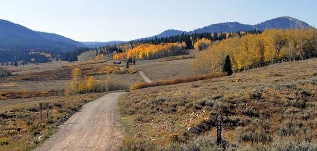
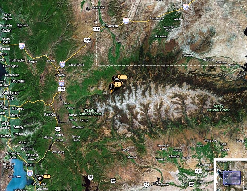
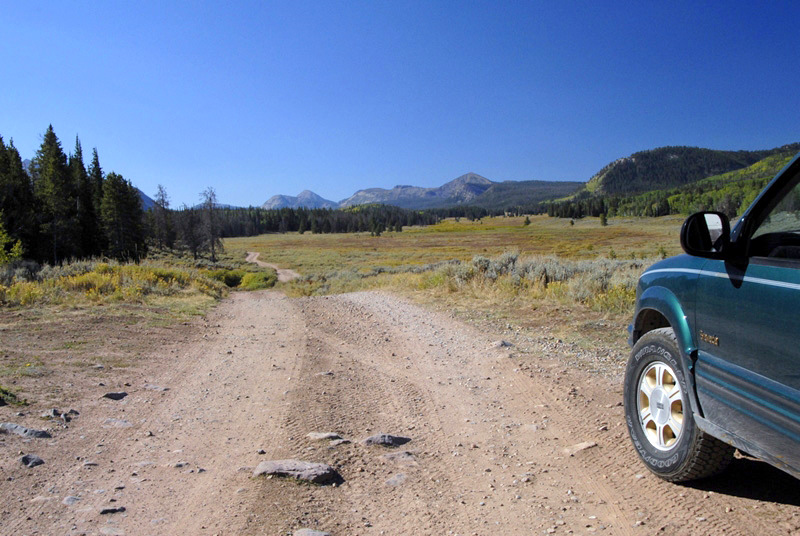
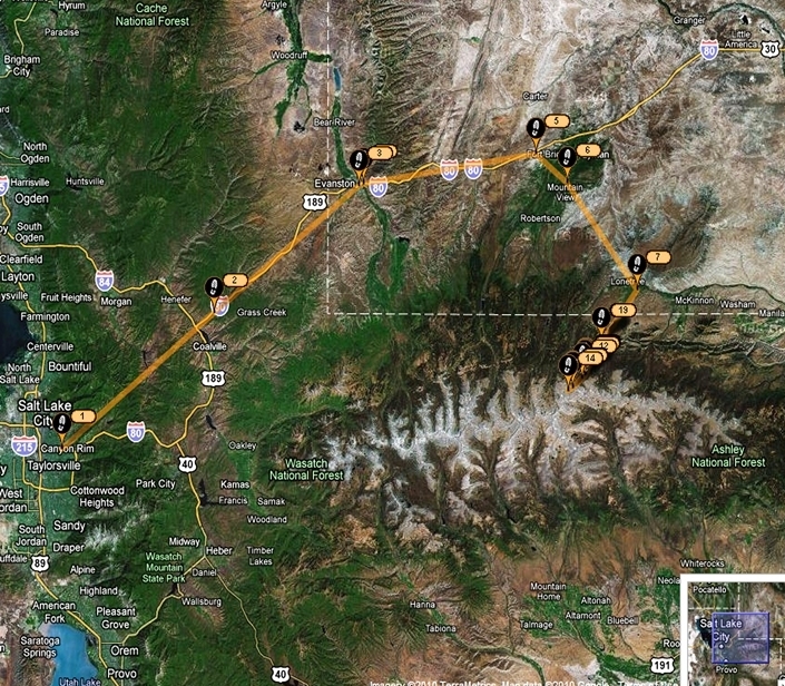
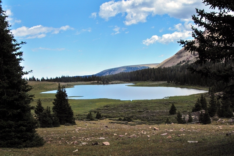
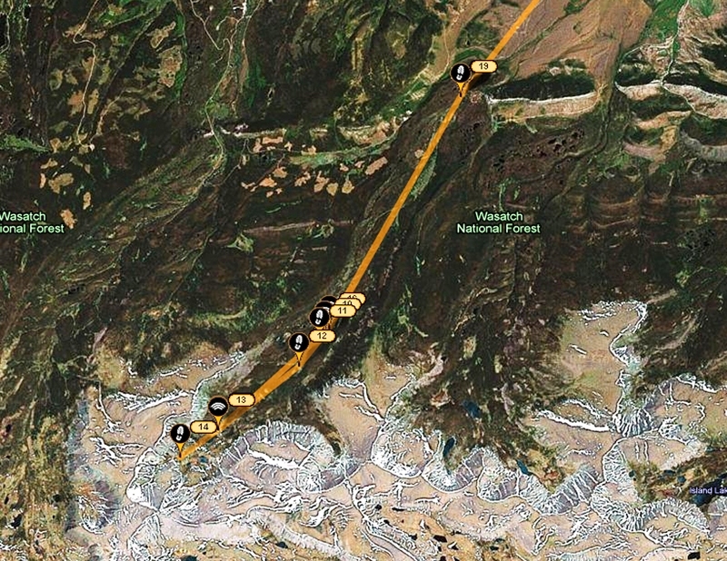
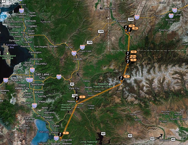
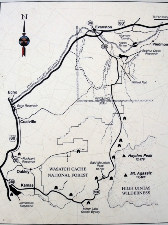
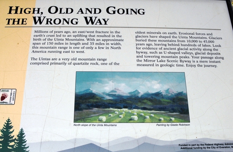
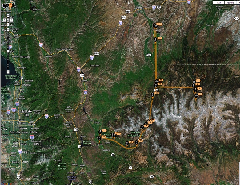
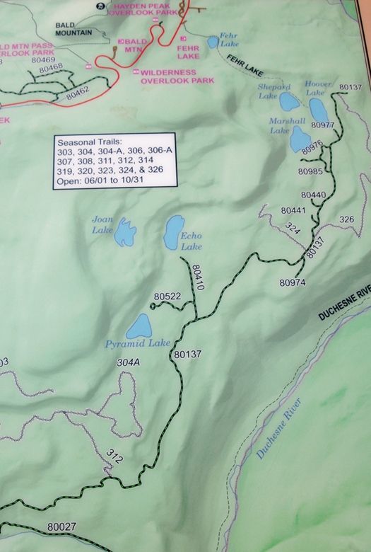
The route was up to the Mirror Lake Scenic Byway as seen in the Google Earth SPOT view of the trip. 
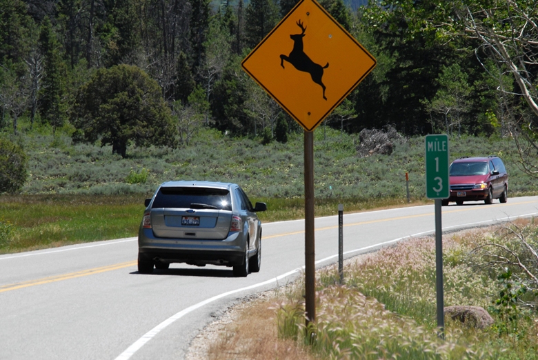
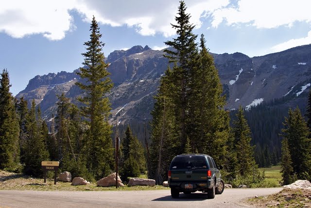
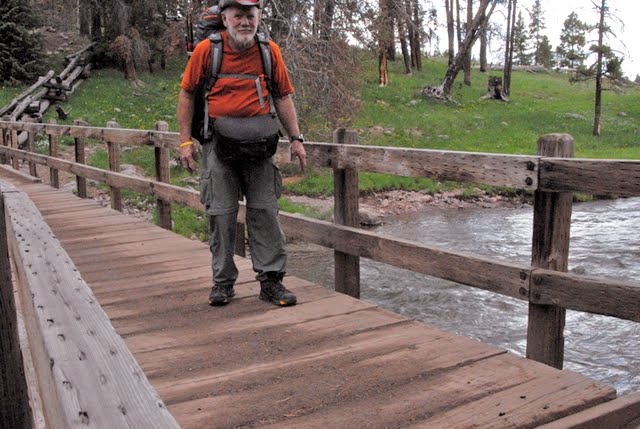
I show a view of the highway with the DEER CAUTION sign for a purpose. 
Even in the daytime one often sees deer along and crossing the route, and I recommend caution, driving below the speed limit. Especially is this important at night. I know what I’m talking about as a few years ago I was returning from a backpack at night, and I swear I was driving carefully, but nonetheless a deer RAN INTO ME! I had to wait for a Highway Patrolman, and then a wrecker. A black moose is even harder to see and could wipe you out, so be careful and enjoy yourself more.
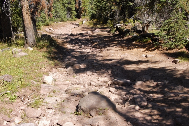
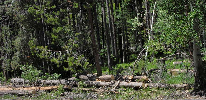
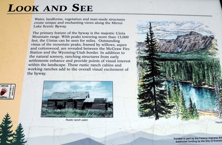
Cut timber can be seen along the highway, as this is a multi-use Forest used for forest products, hunting, fishing, grazing, and in some areas even oil and natural gas production–as I’ll mention in a moment.
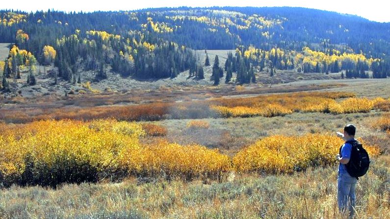
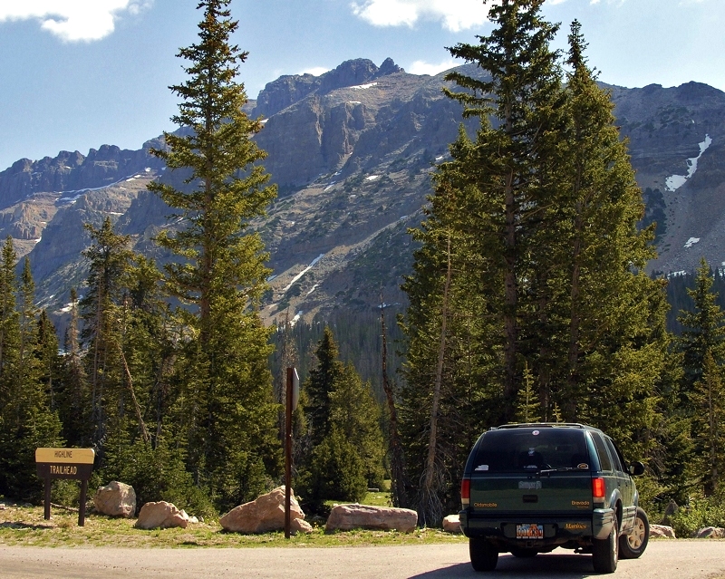
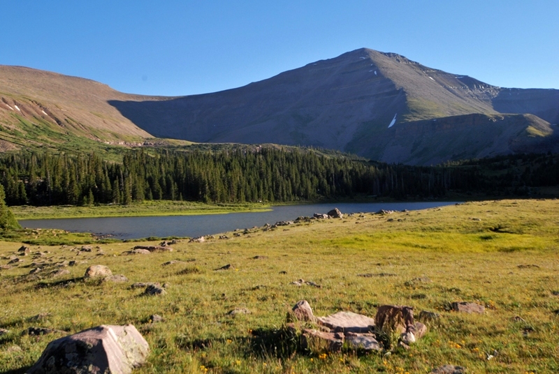
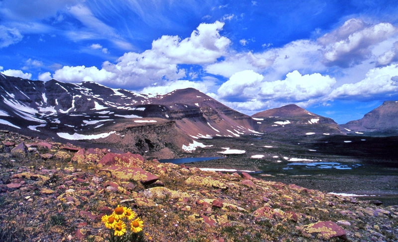
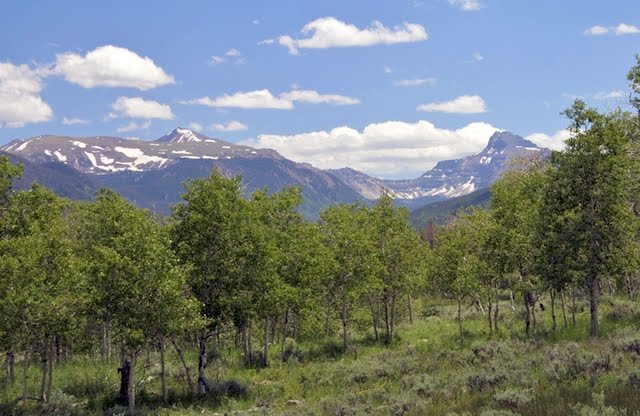
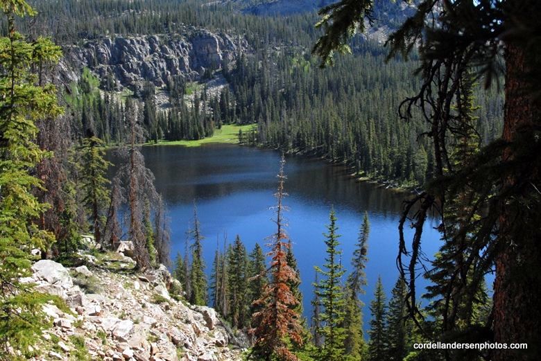
We have now climbed and left behind us Bald Mt. Pass, and  look eastward with Rocky Sea Pass on the left, and Cyclone Pass on the right, both accessed by the wonderful Highline Trail.
Drive carefully and  enjoy the beauties all around you.  We are now heading down to the north.

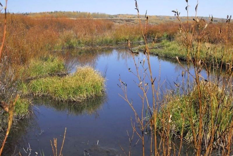
Here we  pass the road to Christmas Meadows and continue north.
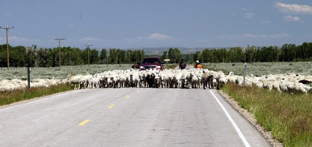
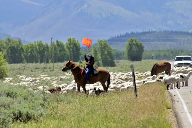
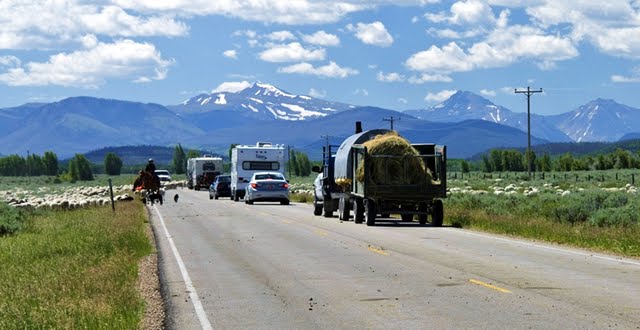
Nearby our sheepherder friends were camped seen the week before driving their herd from Wyoming towards the High Uintas.
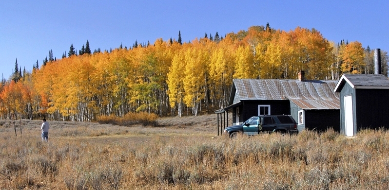
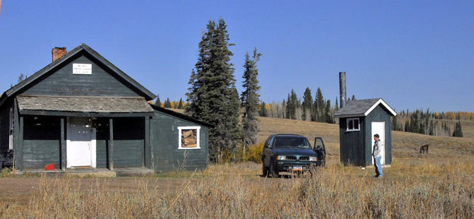
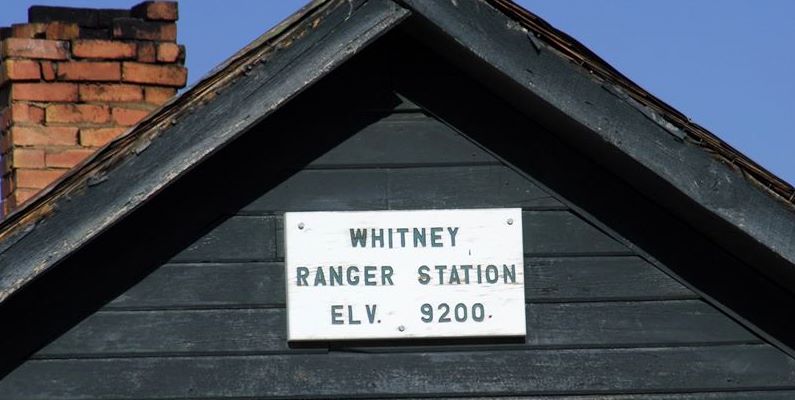
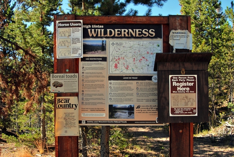
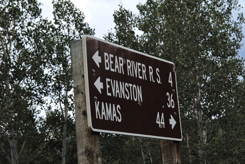
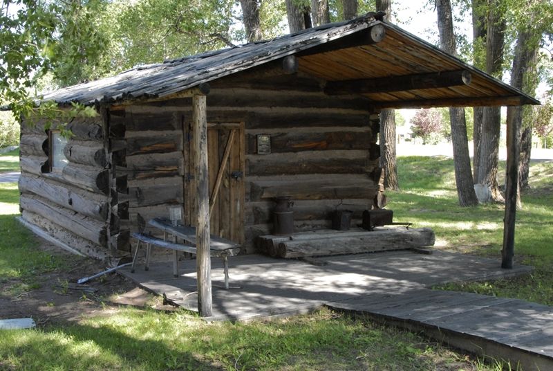
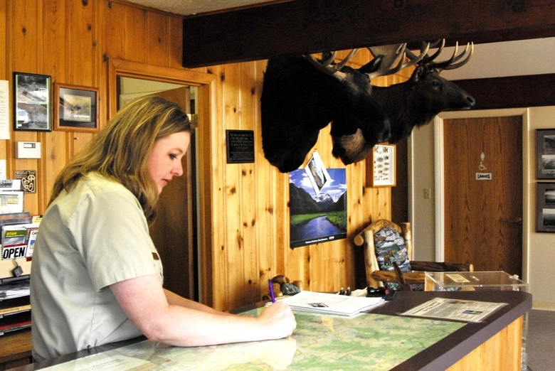
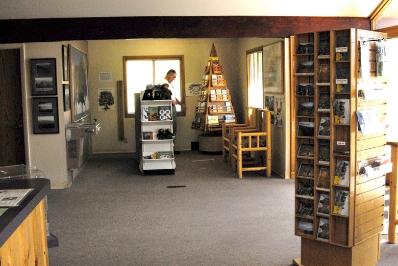
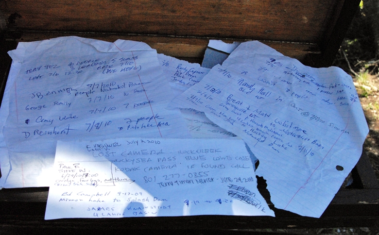
Then up the highway I stopped at the Bear River Ranger Station to learn what I could.  It’s more than worth your while to stop–with  clean restrooms, and cold water.
You can get all kinds of information, maps, books, postcards, etc.
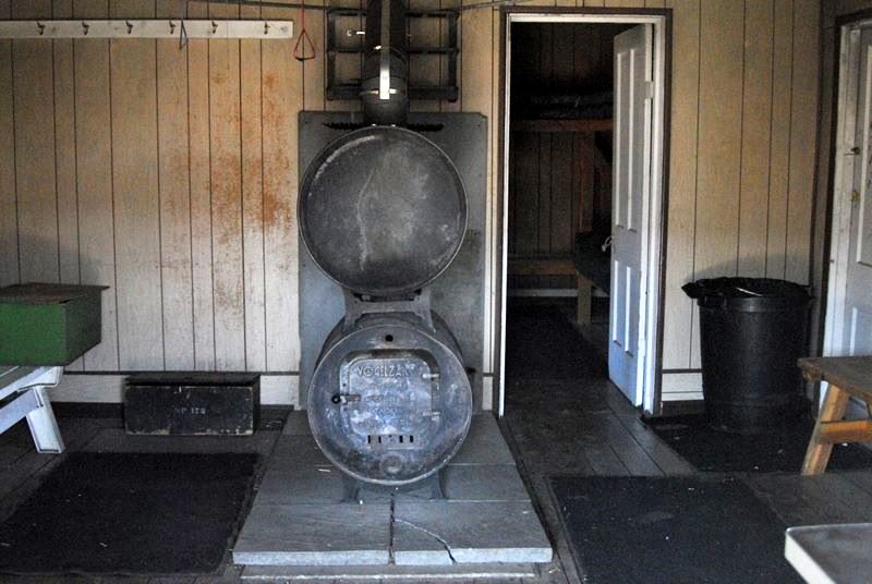
And out back there is a real tie hack cabin with pictorial displays that explain all about these unsung American heroes.” 
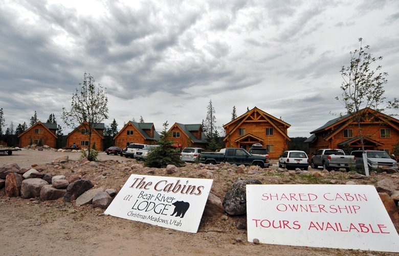
Then on to the BEAR RIVER RESORT.
ATV rentals (snowmobiles in winter) and cabins for rent with satellite TV.
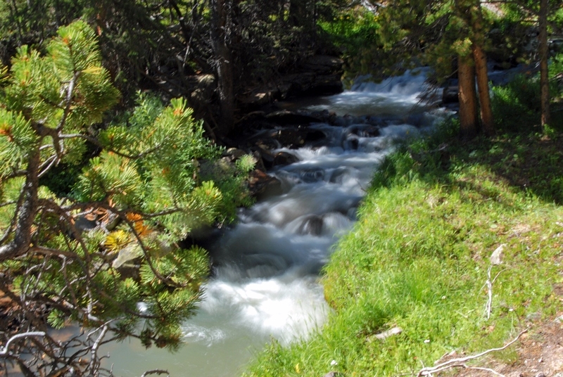
THE BEAR RIVER is all over this trip report.  Remember this is one unique river beginning in the Uintas, flowing north into Wyoming, then swinging west into Idaho where it turns south flowing back into Utah and into the Great Salt Lake, its 500 mile course making it the largest river in  North America that doesn’t empty into an ocean. 
The Bear River was named in 1818 by Michele Bourdon, a 21 year old French-Canadian trapper for the Hudson Bay Fur Co. He was impressed by many bears  in the area.   In 1819 along the river he named  he was killed by Indians.
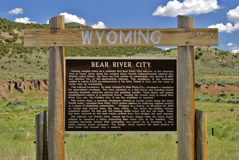
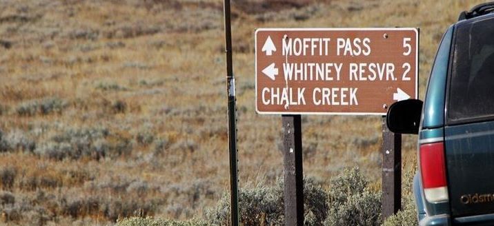
Now on to Wyoming to search for the location of “The liveliest city, if not the wickedest in America,”  (1868) BEARTOWN. 

Additional reports on the ghost towns of Hilliard and Piedmont, Wyoming were originally next in this report, but will now be found after the report on the Howe Feeder Flume.
Next up THE SEARCH FOR BEARTOWN: 
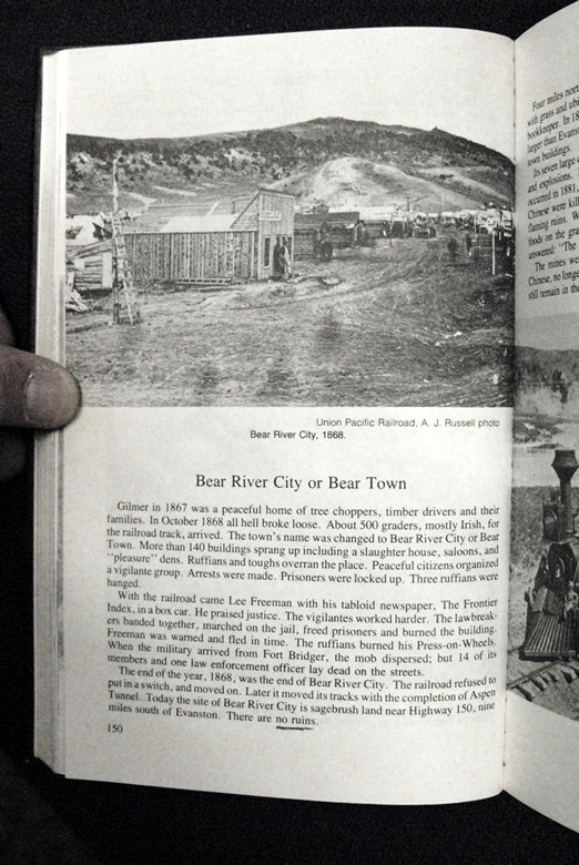
 Part of that search included in 2009 a visit to the Public Library in Mt. View, Wyoming
 and from there I made contacts with the library in Evanston.  In Mt. View I photographed the following page about Bear Town.
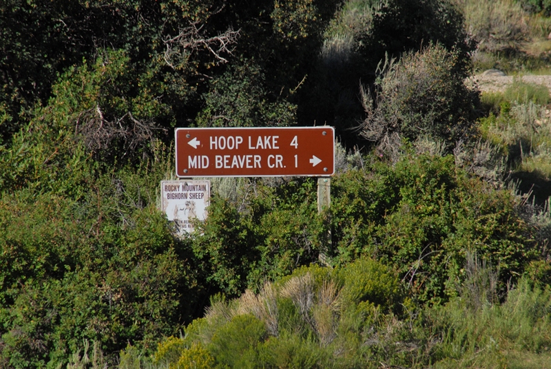
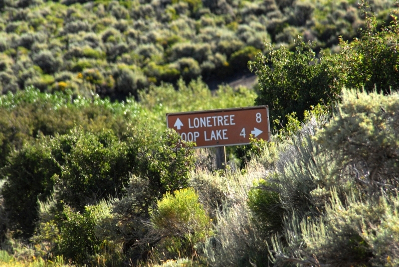
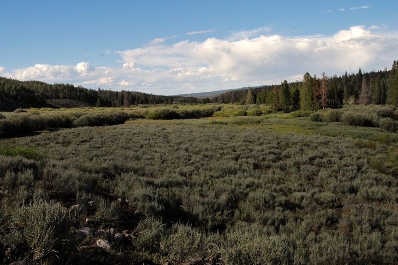
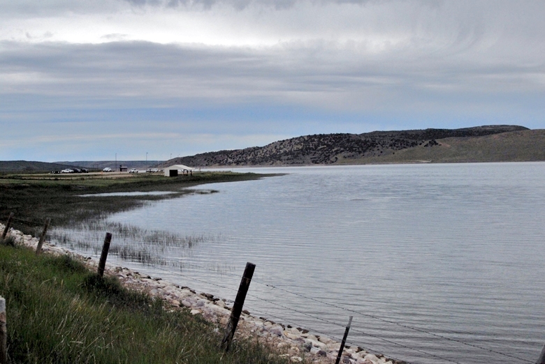
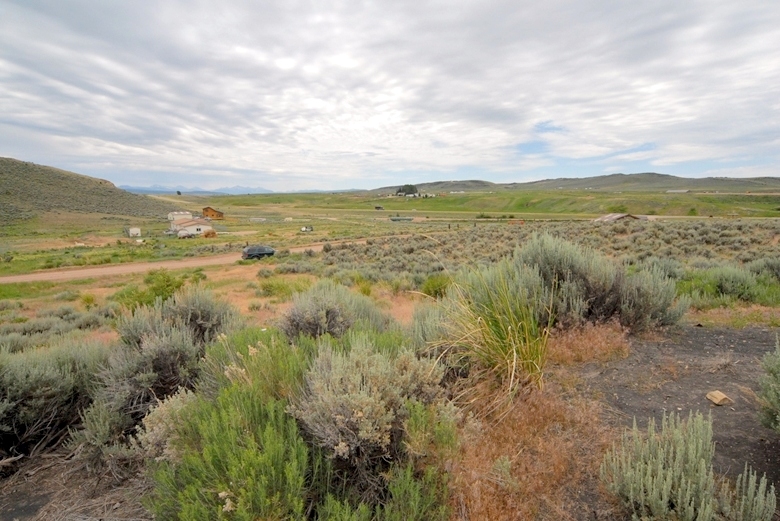
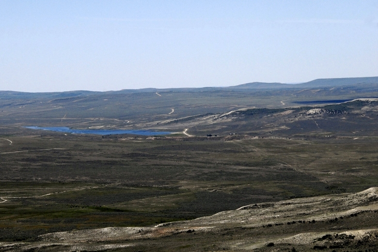
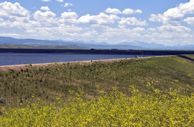
Our search for Bear Town takes us past  Sulphur Reservoir.  Bear Town’s location will be in the distance down below the dam.
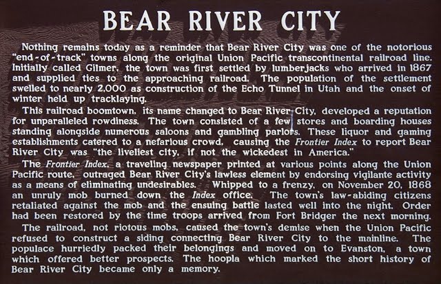
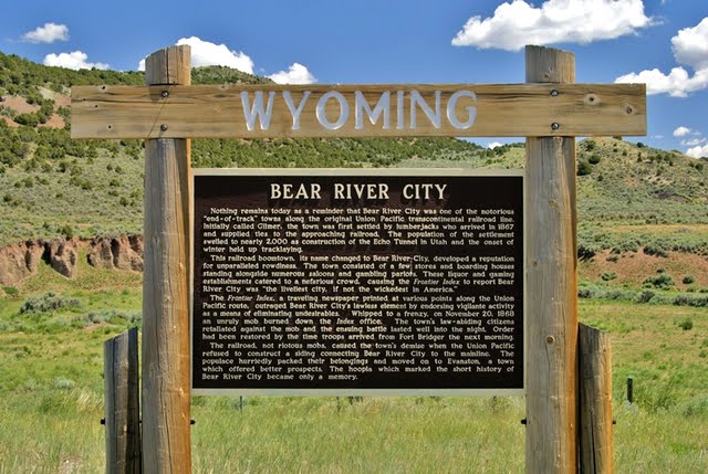
We are now back on the highway, at the 2nd tourist stop where historical signs tell us the story. 
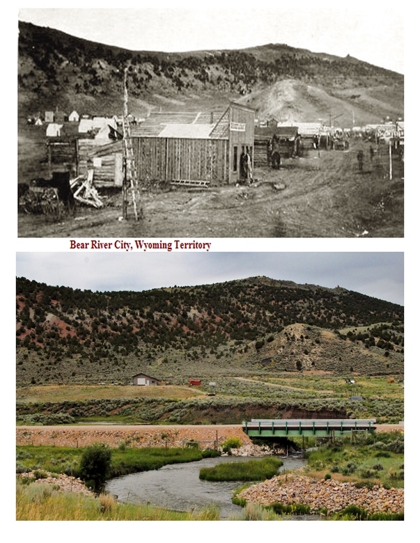
Below is apparently the only photograph of this short-lived frontier town that just in a year or so grew to 2,000 people with general stores, boarding houses, livery stable, saloons, gambling halls and a traveling newspaper, The Frontier Index.  My first objective was to find its location.  Next I  had said that I didn’t believe that “Nothing remains,” so I had to find something, even if it was just an old piece of wood.  How could I ever have hoped for even finding the culprit for having “whipped” the crowd into such a lawless “frenzy” that it turned into the “bloodiest battle between whites in the history of Wyoming?”
I searched for the area that would match the hills behind the town’s photo and added below my photo of the spot that seemed to be a quite accurate match.
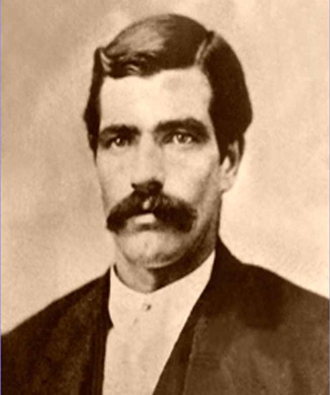
In my research I learned that an ex-lawman, Tom Smith, came to Bear Town working as a teamster, but soon became the marshal.  He had been a professional boxer and was famous for often being un-armed and subduing  criminals with his fists.    He did his darndest to keep the vigilantes and the criminals from fighting it out, but failed.  From there on he was known as Tom “Bear River” Smith and went on to become the marshal of Abilene, Kansas where he was killed in action by outlaws.  My complete writing will give many interesting details about his life.
Marshal Tom “Bear River” Smith
There are several versions of what happened in Bear Town, and I will include all of them in my final writing, but the stories go from one survivor of the battle saying there were 53 dead–all but one bad guys, to the controversial journalist Legh R Freeman, who had been the catalyst in the fight, saying 40 bad guys were buried around where the criminals had burned down his printing establishment.  Historians feel that the total dead count was more like 17-18.  The vigilantes had hung 3 of the rowdies who they were sure were involved in murders.  The bad guys then got organized and came for the honorable citizens who had holed up in a store.  When the bad guys approached 15 of them were instantly cut down by furious fire from new Henry Rifles in the hands of the good guys.  Freeman is the one who dubbed Bear Town as “the liveliest city, if not the  wickedest in America.”
That turned out to be the bloodiest battle between whites in the history of Wyoming.  With that the Union Pacific Railroad decided not to run a spur to the town from the main line, and the town died.  It disappeared, supposedly with nothing remaining.
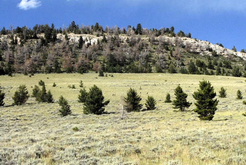
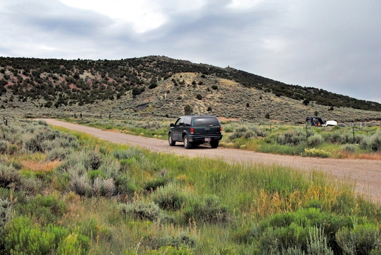
I drove and hiked around the area searching for something that might be “remnants” of the town.  I talked to a rancher who pointed to the area below as a spot behind the house where the Cavalry would camp out, and where he has found old mule shoes. 
He joked about the fabled $50,000 in gold buried in the area.  I asked if he had found it, and got a toothless grin and “Even if I had I wouldn’t be telling you!”
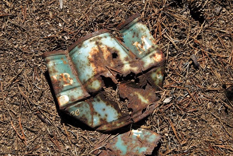
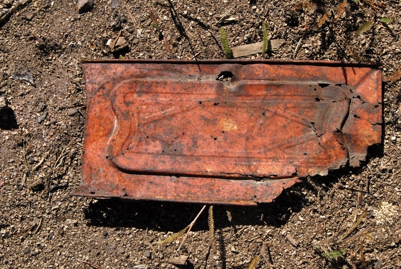
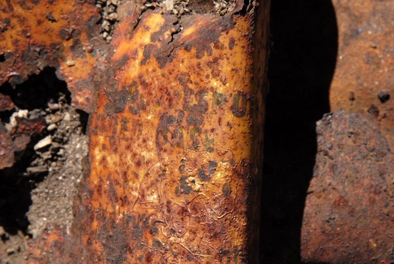
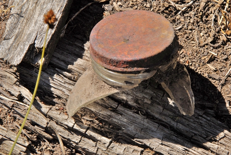
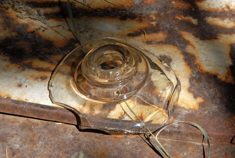
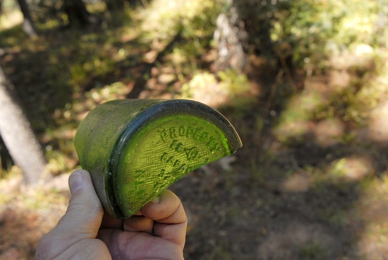
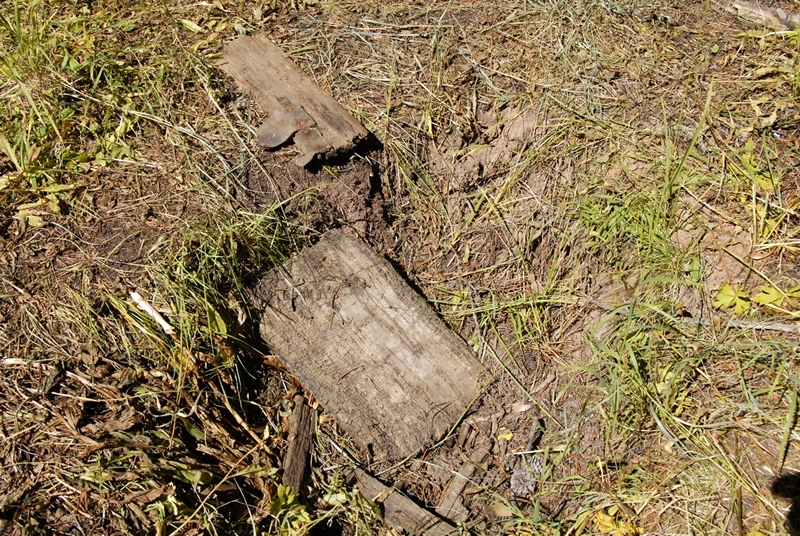
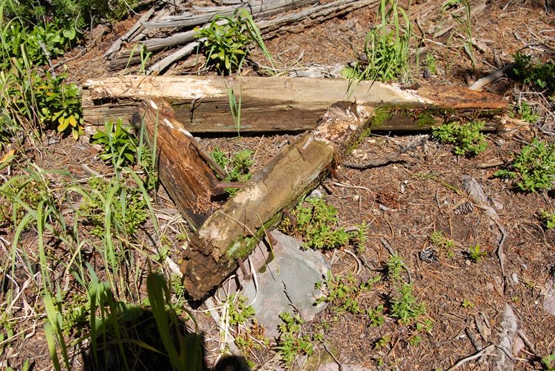
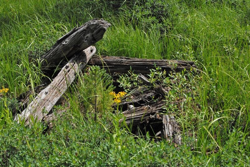
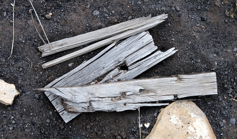
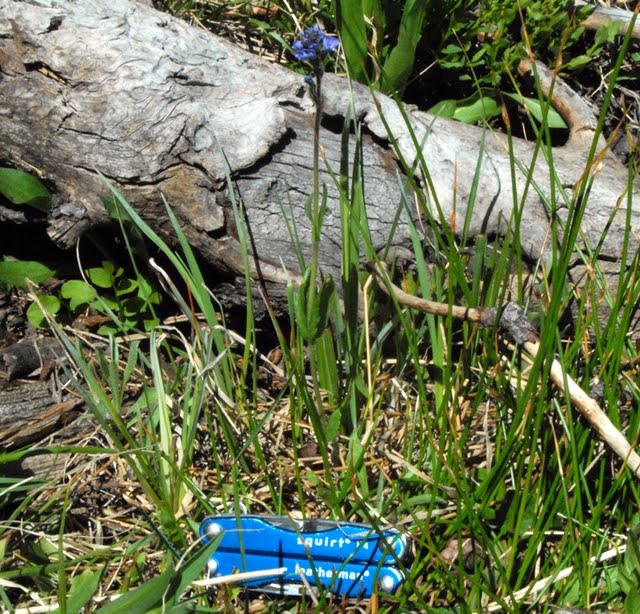
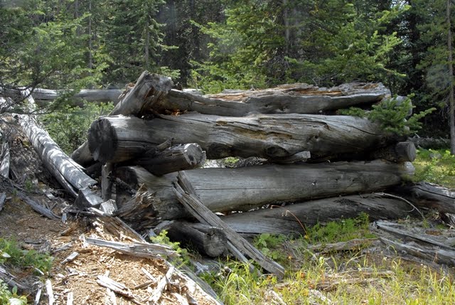
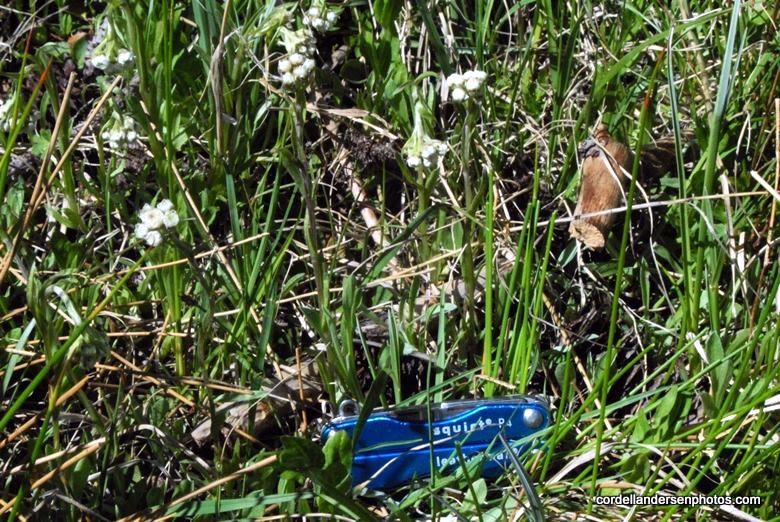
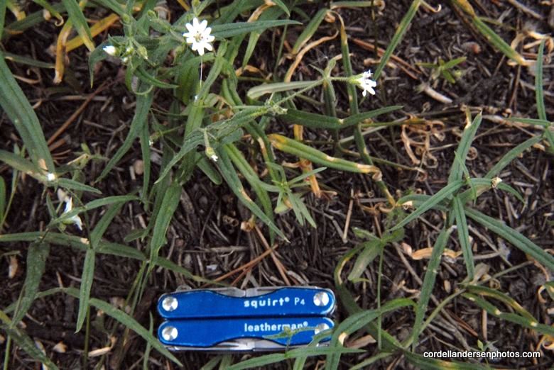
In my explorations I went for outlying areas that would have been garbage dumps and found a few items, mainly some “old pieces of wood”  seen below.
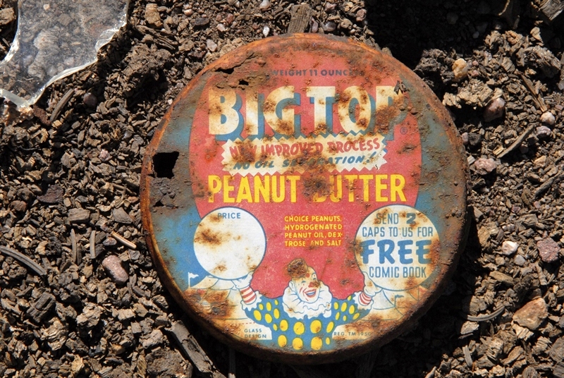
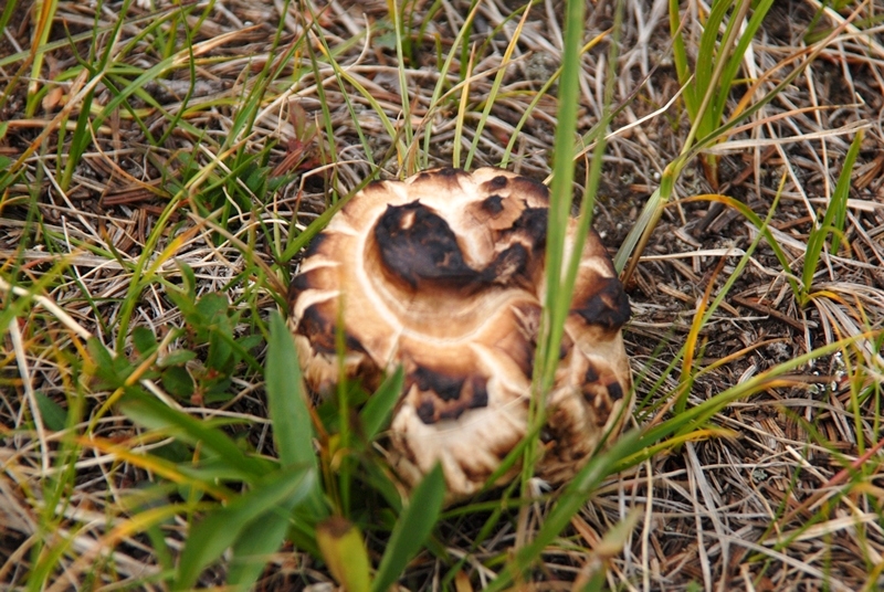
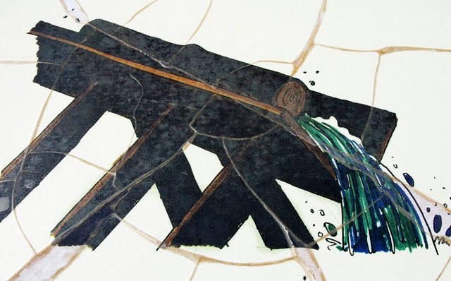
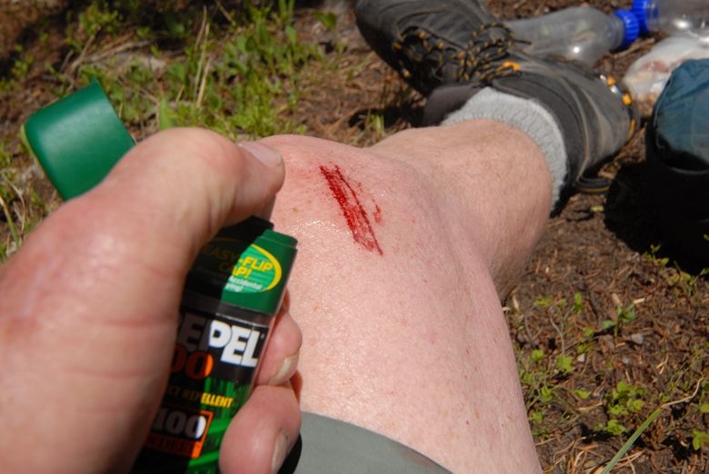
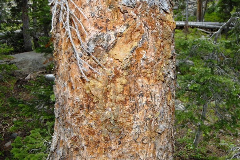
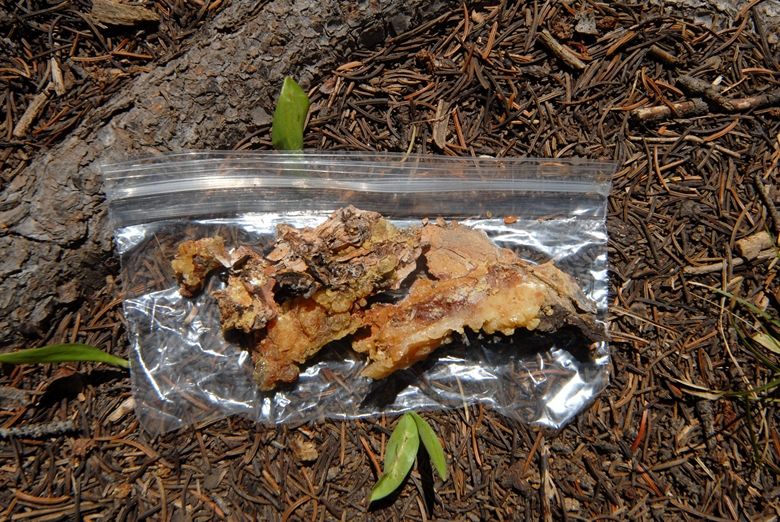
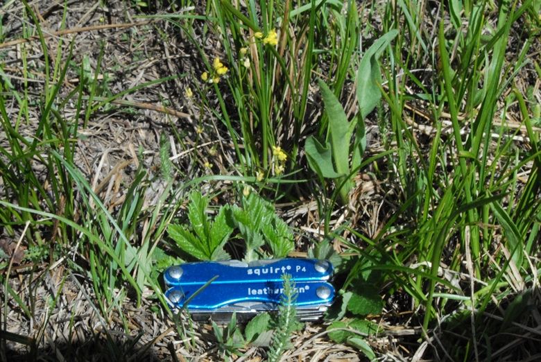
Then I stumbled upon the important find.  I have found in my research that usually the “tie hackers” and railroad workers were heavy drinkers.  Of course the criminal element that were attracted to these frontier towns, especially to the saloons, gambling halls, and brothels, were also heavy drinkers.  So is what I found hard evidence of this and the culprit in the whole history?
WOW!  Didn’t know it had been around that long.
So we say goodby to BEAR TOWN for the present, or should we say, THE GHOST OF BEAR TOWN, looking over the spot where it had been with the High Uintas in the far distance to the south.  
 In this extremely brief summary of Beartown, I have only given you a few tidbits of the fascinating and incredibly action filled history, but eventually I’ll get the whole story told, including a number of accounts from journals and dairies of that period.  We might just get it told in a big way deserving of this true and crucial chapter of our Western  history.
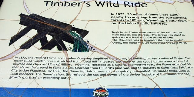
THE HILLIARD FLUME
Now lets get back to the High Untas and do some exploring.
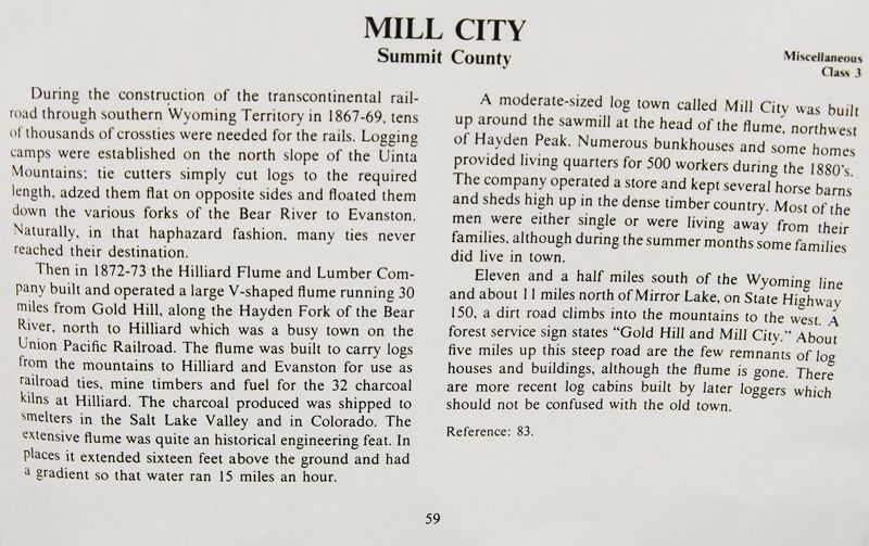
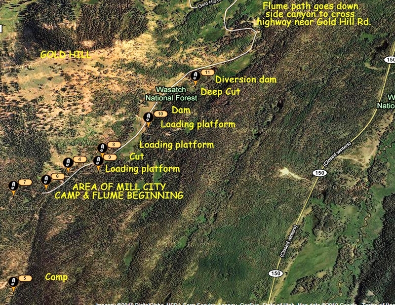
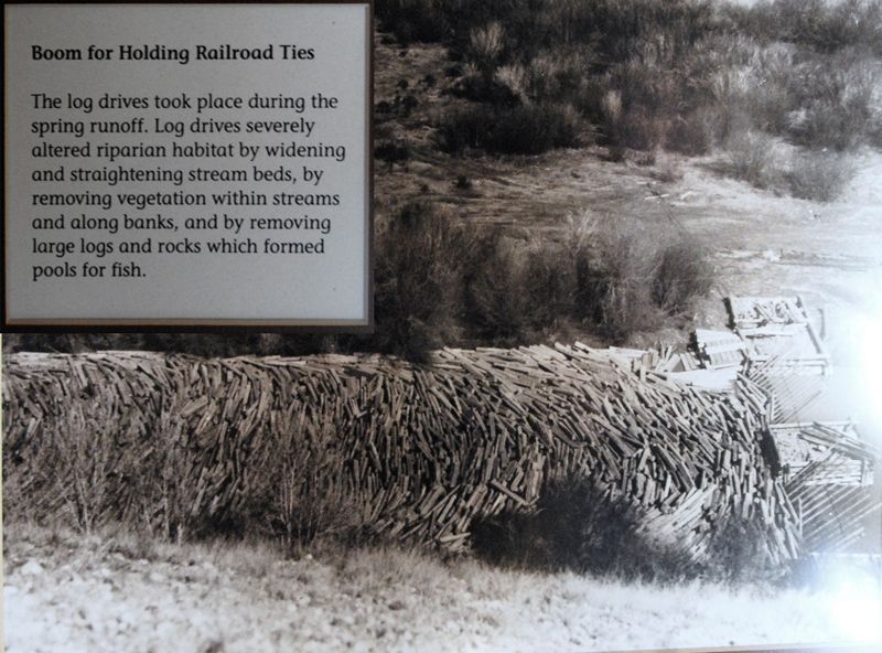
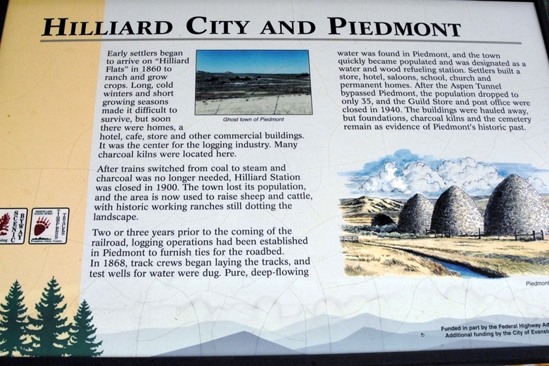
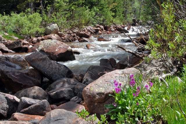
From 1873 to 1880 the Hilliard Flume and Lumber Co. provided railroad ties, mine props, cord wood, etc. to the railroad, and others users. As we have seen in Hilliard, Wyoming a series of kilns were constructed, as also in Piedmont a bit further to the east, where cord wood was turned into charcoal for the railroad, and iron smelters in Utah and elsewhere. A 36 mile long wood flume was constructed to Hilliard from the Gold Hill area of the Uintas west of the present Mirror Lake Byway.
The flume was V shaped about 36″ x 36″ built with heavy 3″x12″ planks. As it went down the mountain, it at times went through cuts dug through the rocky terrain, and at times was held up by a trestle one report says 16 feet high, and another states it being 30 feet high at Hilliard  where the train passed underneath the flume.

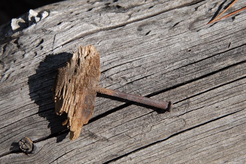
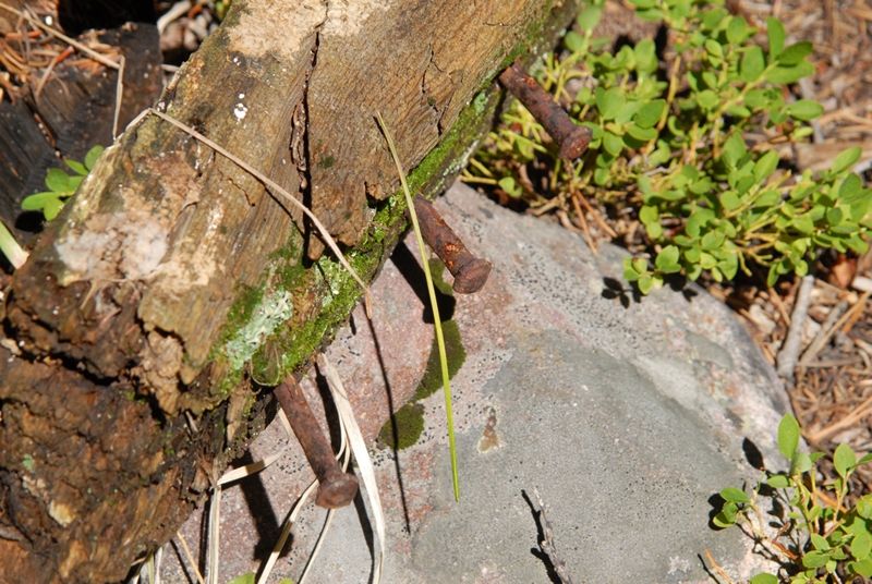
80 tons of square iron nails or spikes, like you see above, were used in the construction that in the beginning was known as “Sloan’s Folly,” but it  was successful for 7 years and perhaps more and became known as “an engineering marvel.” The water would move the wood products along about 15 miles per hour, making it to Hilliard in about 2 hours.  The nails were found on my second exploratory trip when I got the first photographs of remnants of the flume I know of.  The longest nails are 6 inches long.

THE HOWE FEEDER FLUME
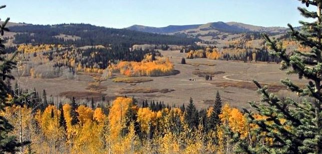
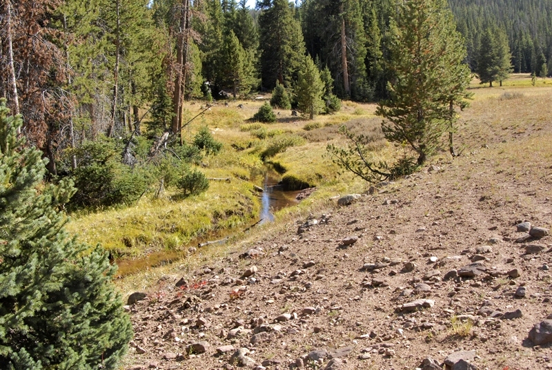
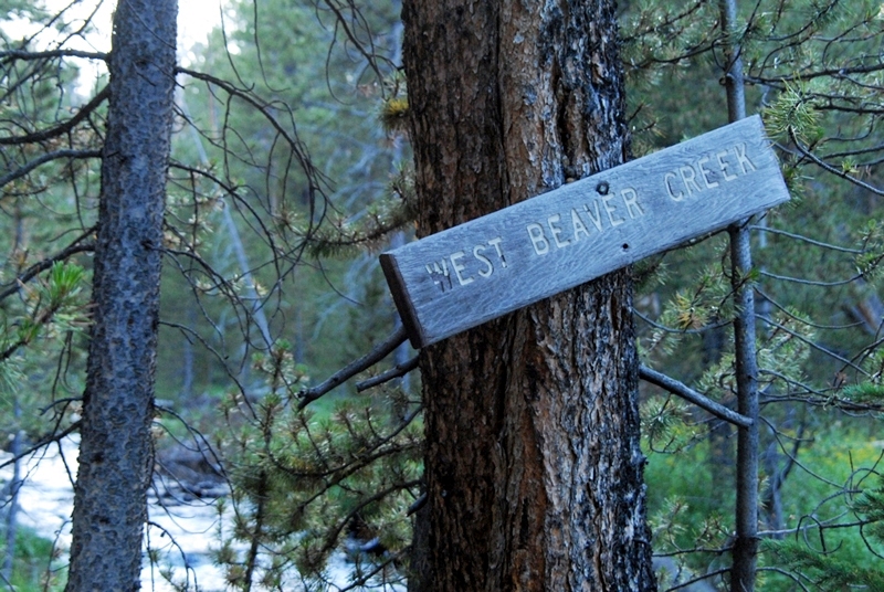
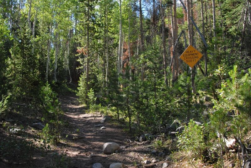
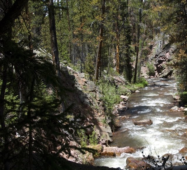
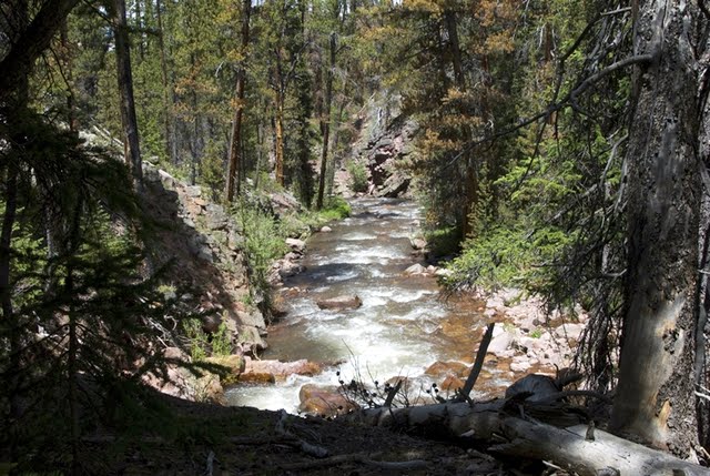
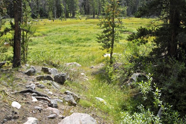
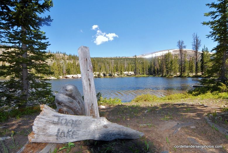
To add more lumber products, and to keep the water flow up another flume was constructed to the east along Main Fork (of Stillwater Fk of Bear River), a stream that originates in the Hell Hole Basin, and which joins Stillwater fork 2 miles downstream from the Christmas Meadows Trailhead. In 1873 this was a virgin timber area with good water flow so it was perfect for the needs of the Flume Co. It was called the Howe Feeder Flume. This was going to be my focus on this trip assuming access would be easy. How wrong I was!
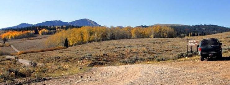
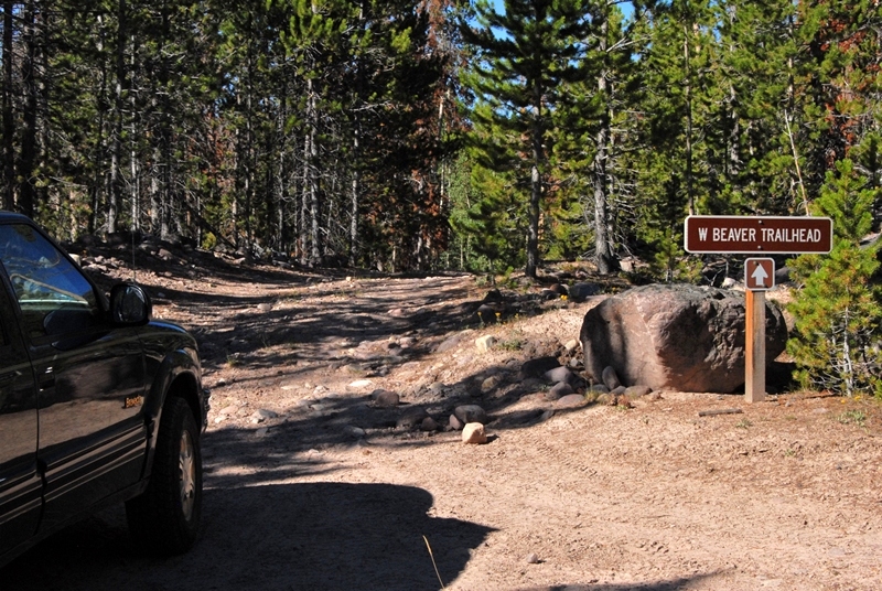
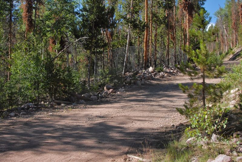
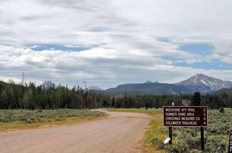
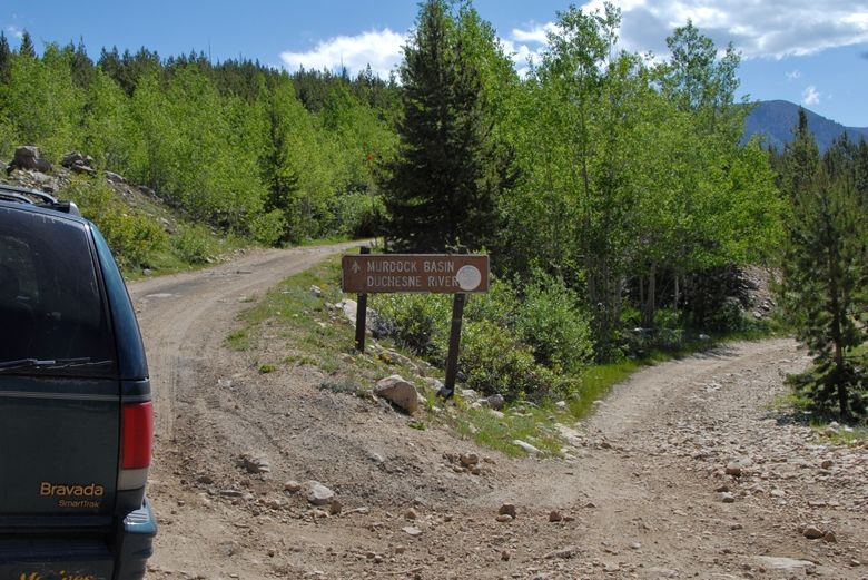
Once down out of the mountains a bit in flatter country you come to a turn-off to the southeast that leads to Christmas Meadows.
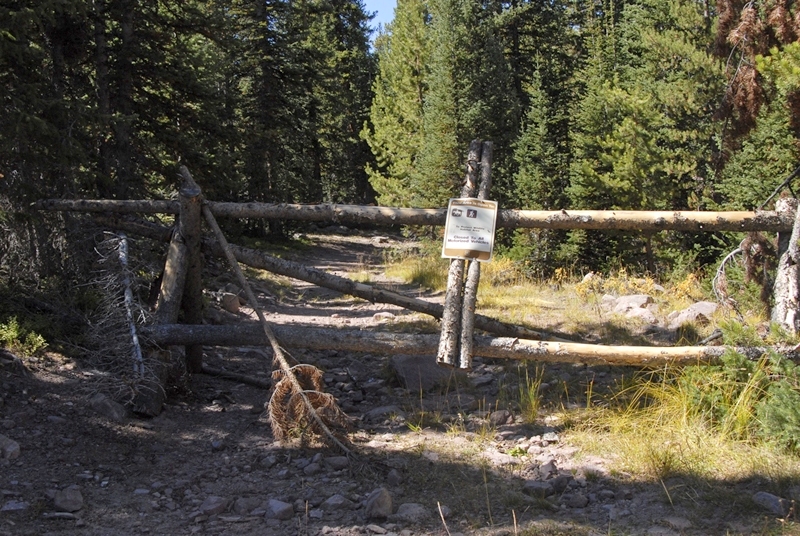
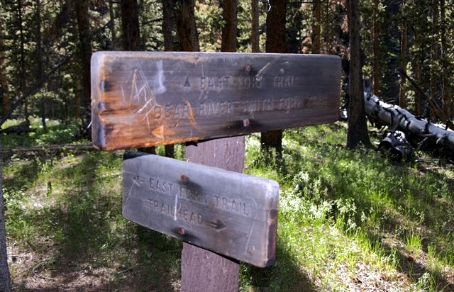
Drive about a mile to the first turn-off to the west and go towards “Road Gated.”
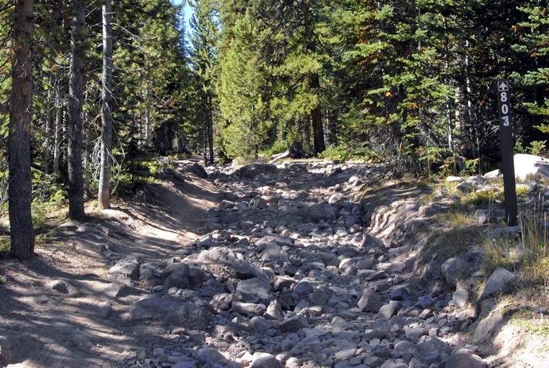
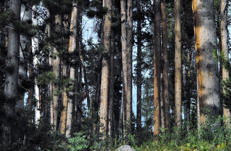
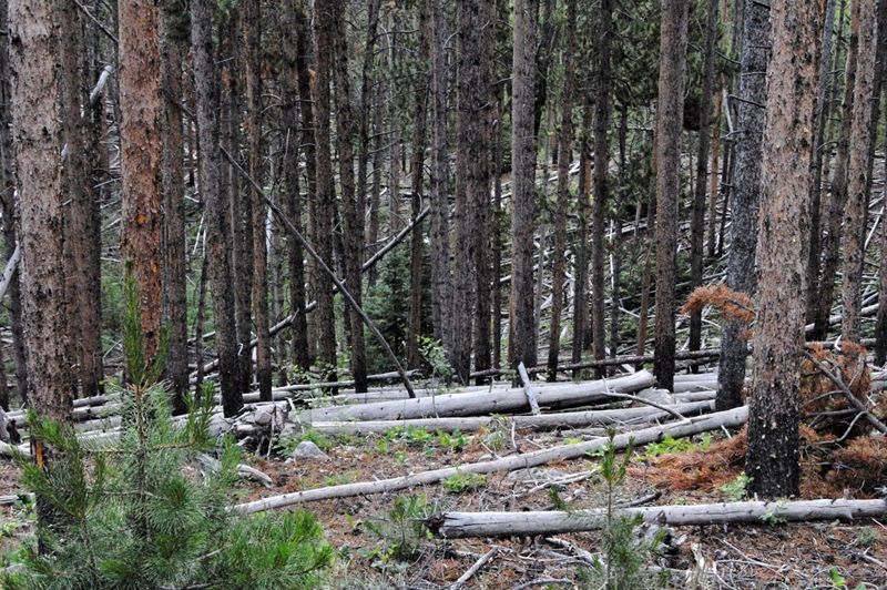
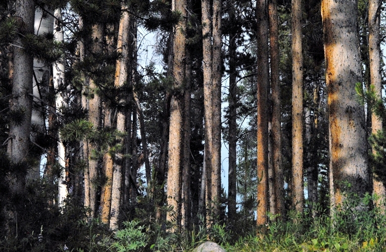
You are now in “tie hacker” country, driving through beautiful lodge pole pine forests–their preferred trees.
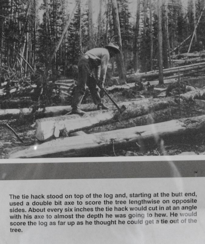
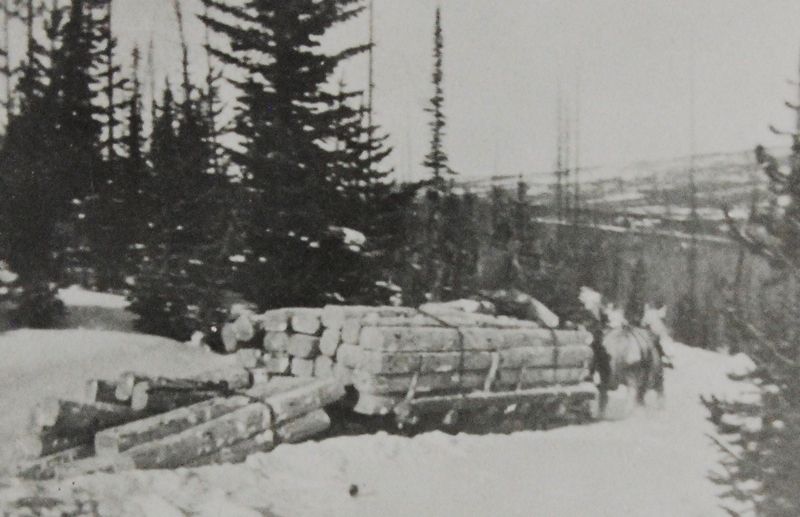
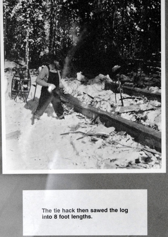
I add the winter photo below as that is when they worked the most–under the most difficult conditions. They were tough “hombres” to say the least.
In my research I found it stated, “very scanty historical records in existence.” Especially is this true during the early period, from 1867 to 1880 before the Forest Service even existed. More records are available for the 2nd period from about 1912 to 1935. My guide for this early period was a 1978 study that itself said, “…structures are badly deteriorated.”
What might I find 32 years later?
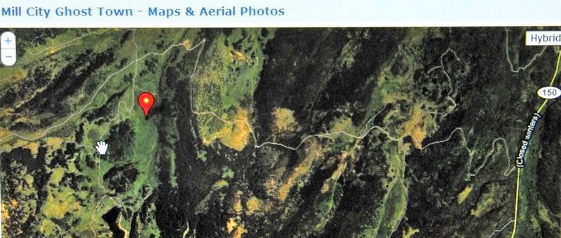
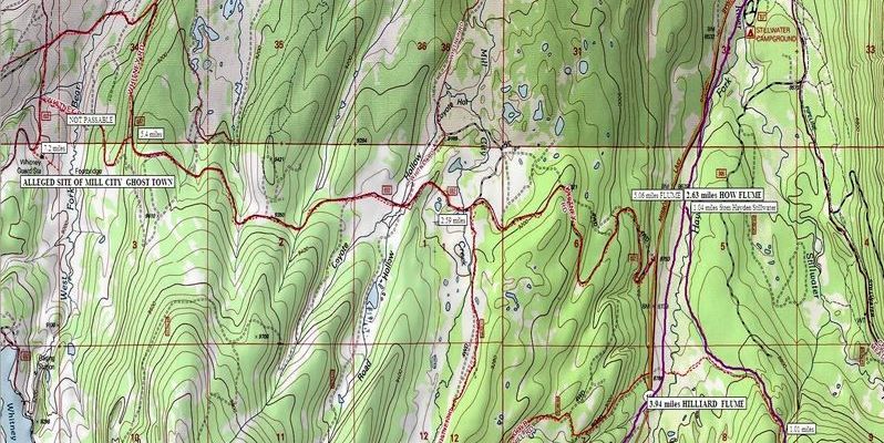
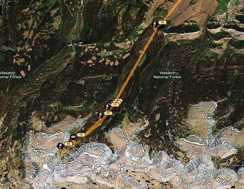
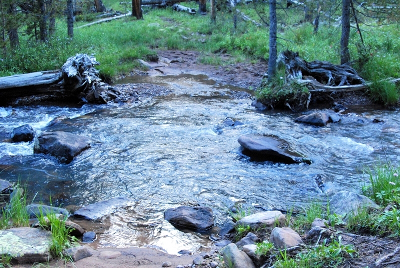
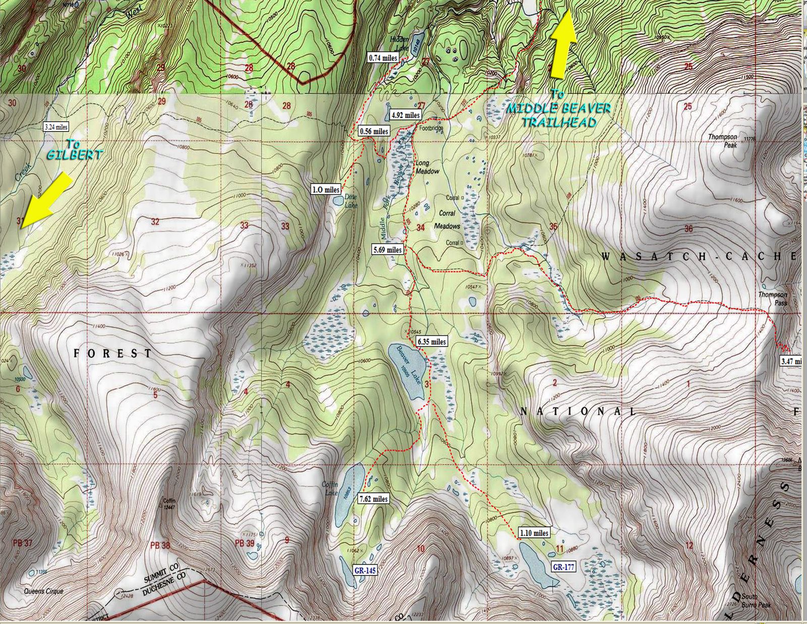
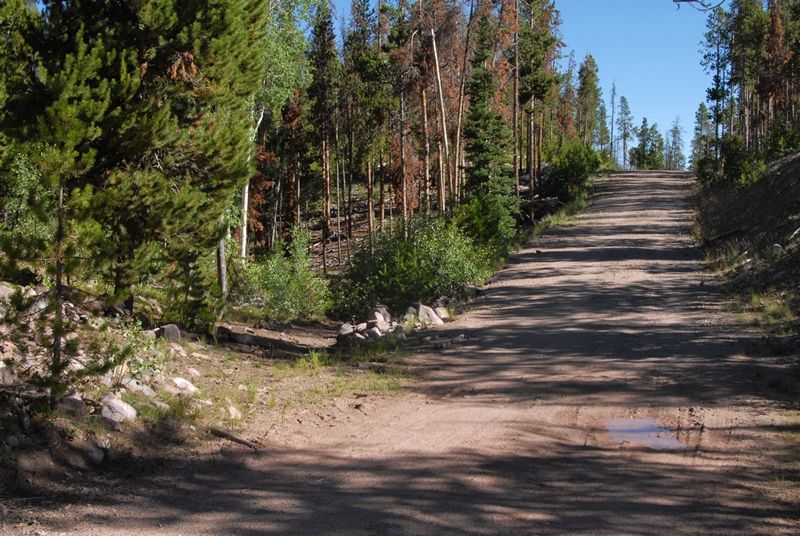
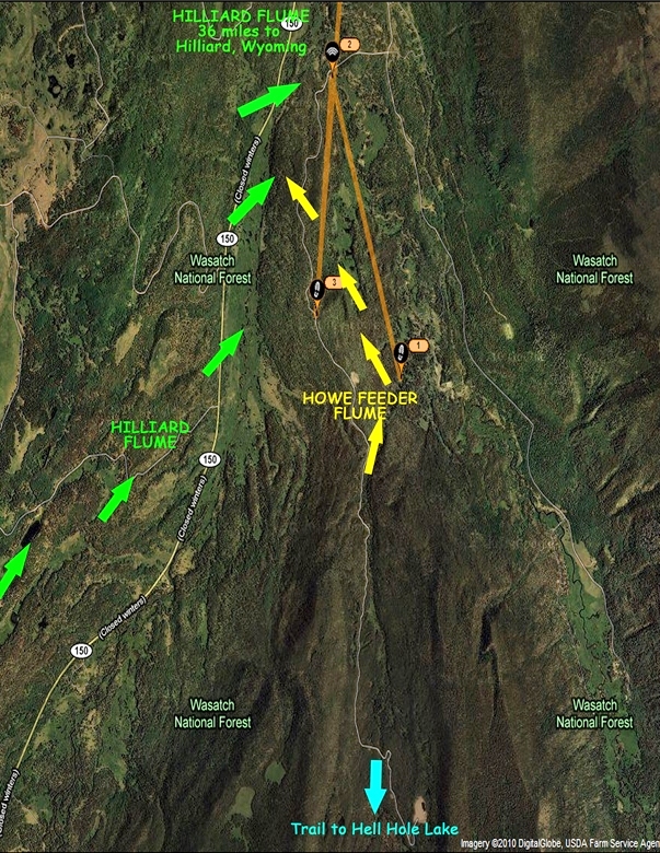
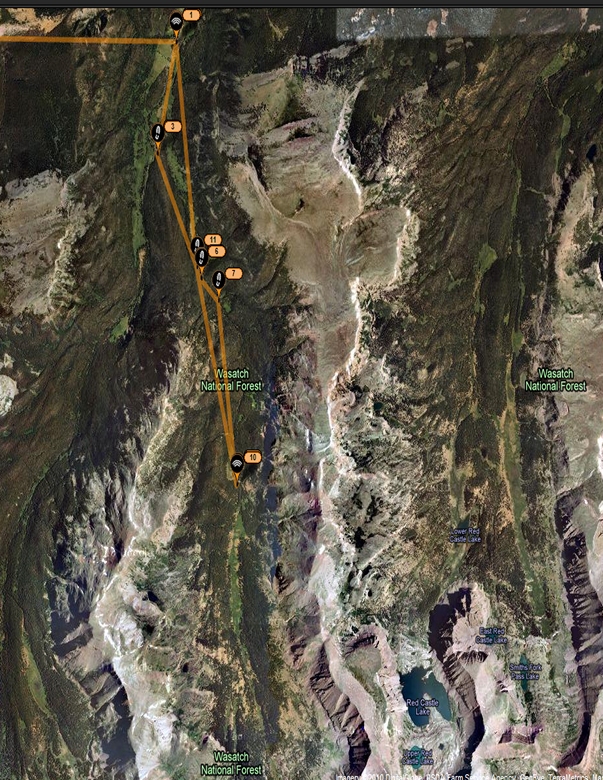
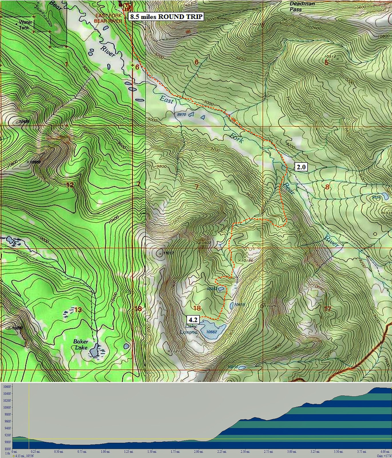
My first find was a locked gate on the very good road and bridge that crossed Stillwater Fork. Later at the Bear River Ranger Station I learned that the road had been constructed way up the canyon by an oil and natural gas company, but only to find they couldn’t exploit the area. Some maps show the road stopping at the bridge, with the Hell Hole Lake Trail continuing from there. Other maps show a jeep road going part of the way up the canyon. The Google Earth SPOT view I got after the trip follows and should be explained.
The green arrows on the left show the beginning and route of the Hilliard Flume coming down off of Gold Hill, crossing the highway (it isn’t marked where) and then joins the Howe Feeder Flume about 1 mile above where Stillwater Fork joins Hayden Fork to form the Bear River.
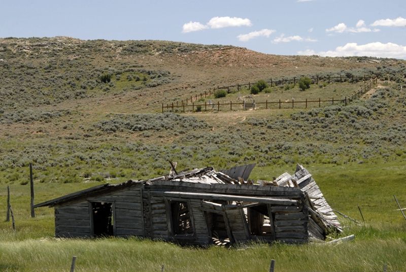
At the tail end of my last report (Trip #3) I mentioned the Hilliard Flume and a search I had made in 2009 but the road became very difficult for my small SUV and I turned back, but I did find a cut that had been made for the flume about where the 2nd green arrow is, and nearby the ruins of a tie hack cabin. 
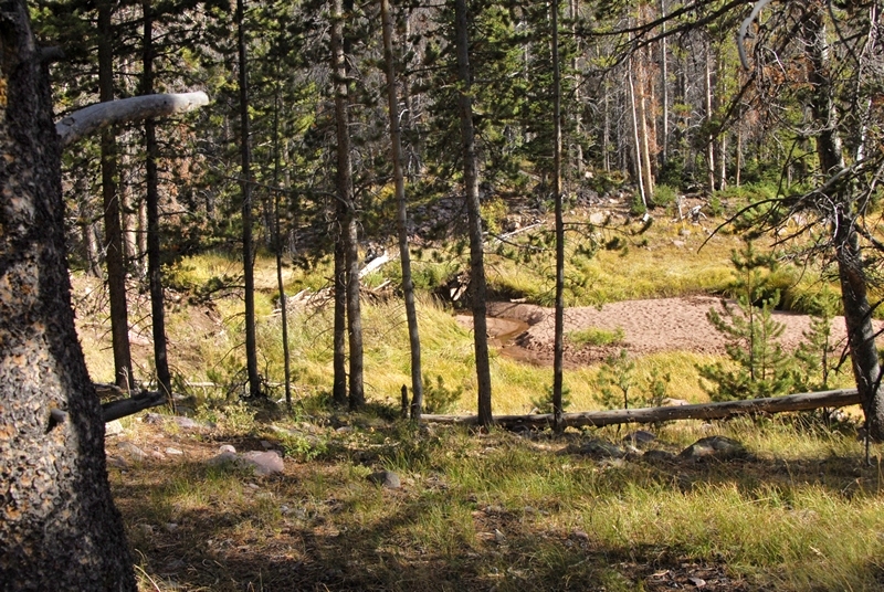
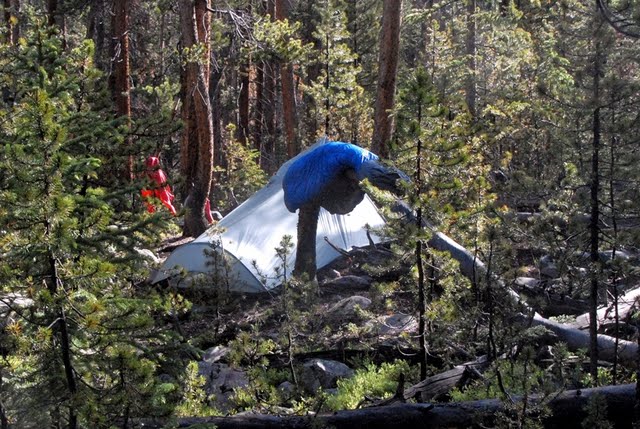
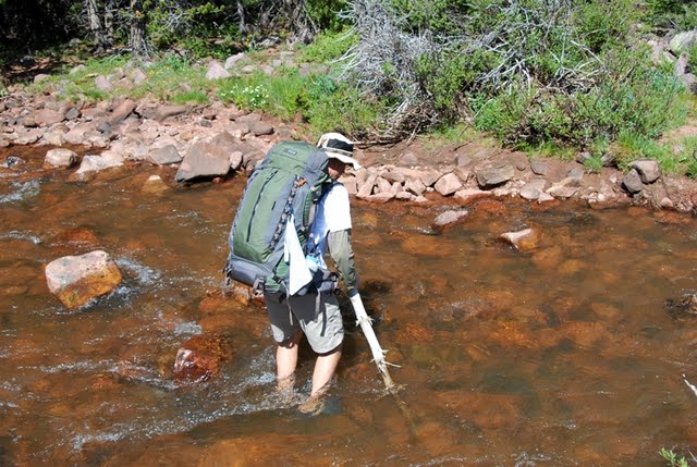
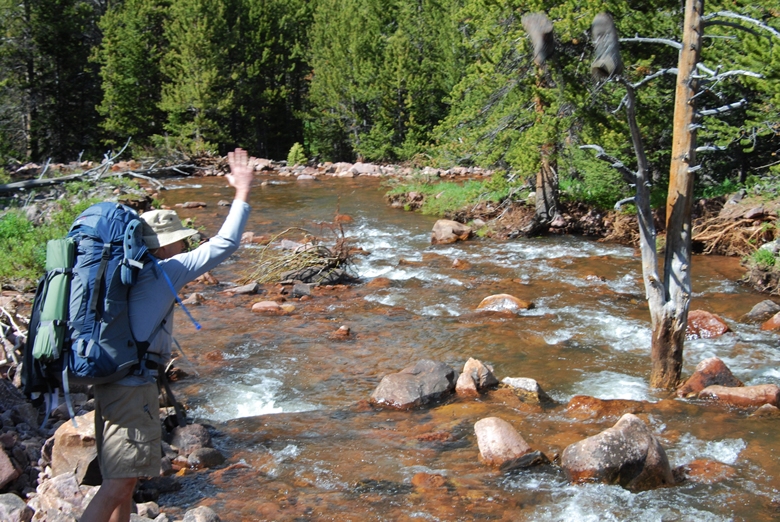
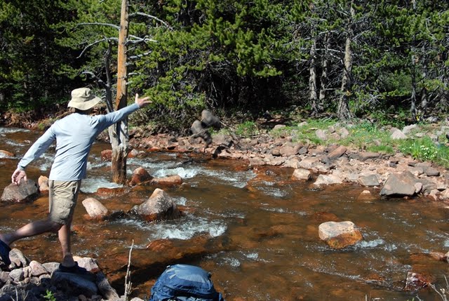
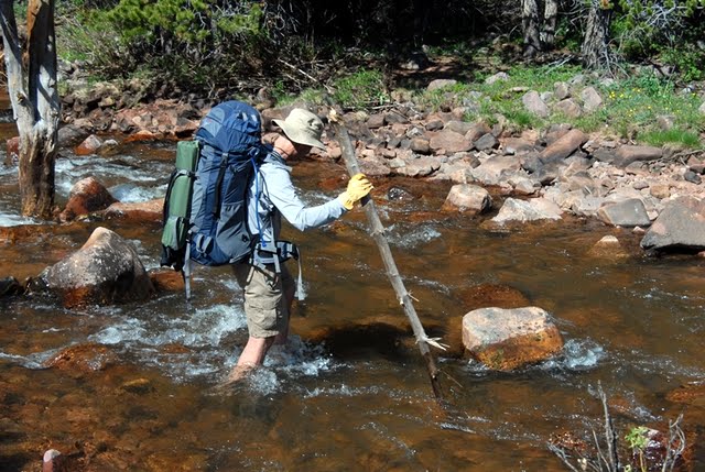
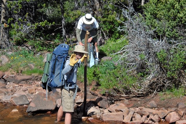
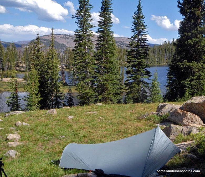
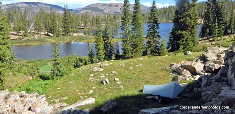
The yellow arrows more or less indicate the Howe Feeder starting along Main Fork and cutting across to finally joint the Hilliard Flume. The bridge and my camp were at #2. From there you see a straight orange line to #1. That is the distance I hiked the first day, about 2 miles in my attempt to find remnants of the feeder flume, but it was anything but a straight line–most of it tough bushwhacking through tangles of downed timber. I started up the road crossing the bridge, but was careful to watch for signs of what is called a “historical road” that would take off and angle towards the stream.
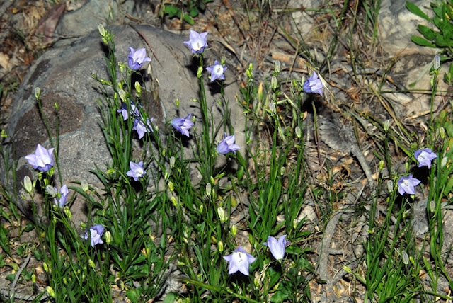
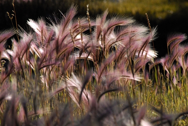
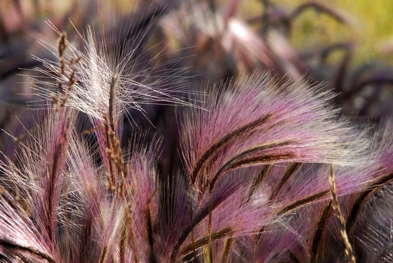
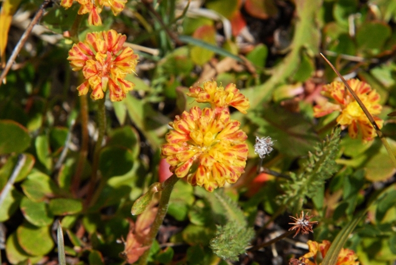
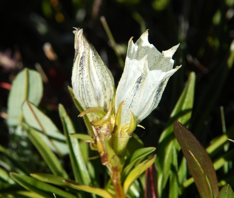
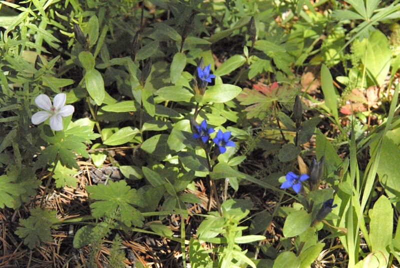
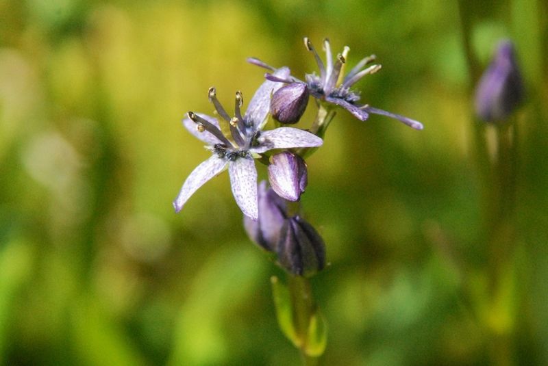
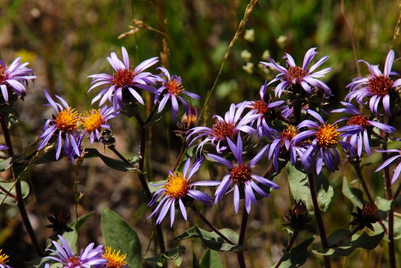
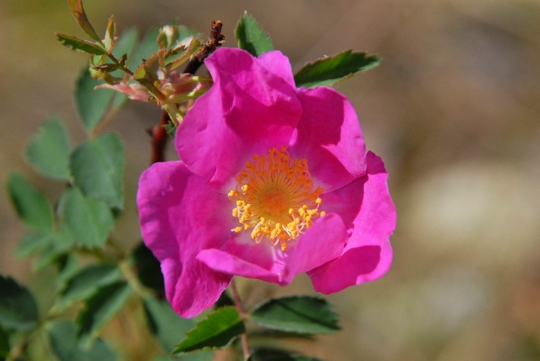
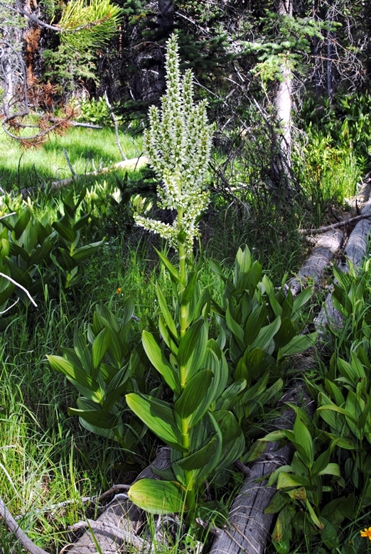
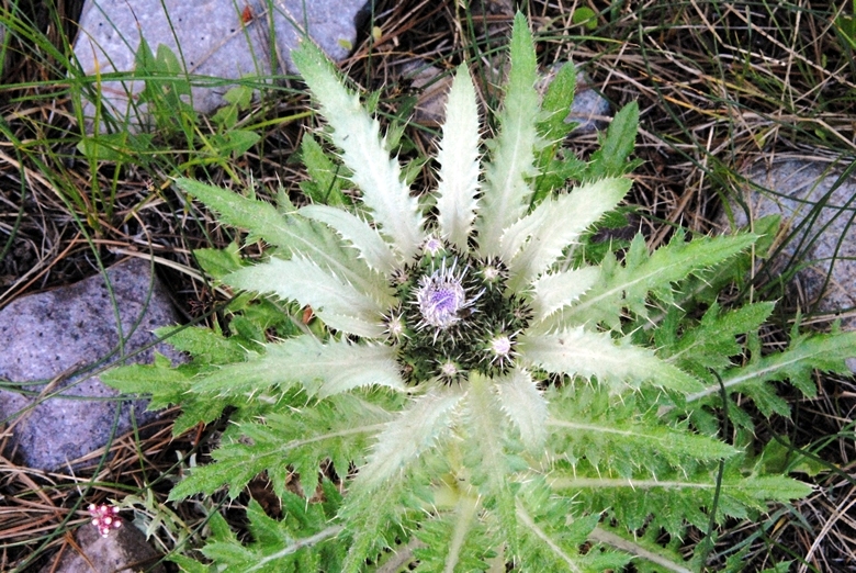
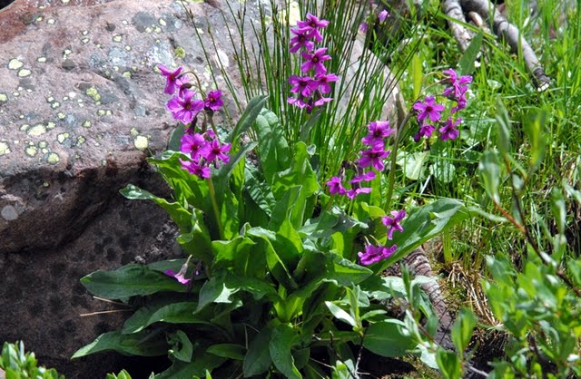
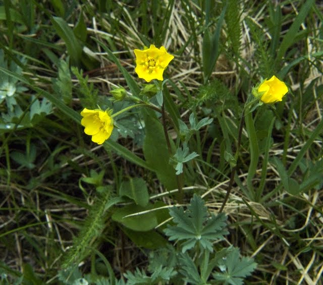
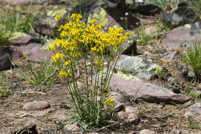
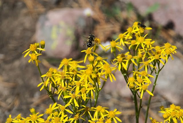
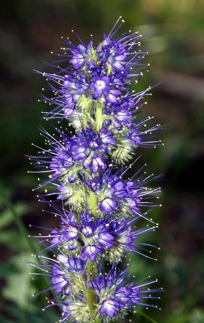
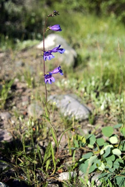
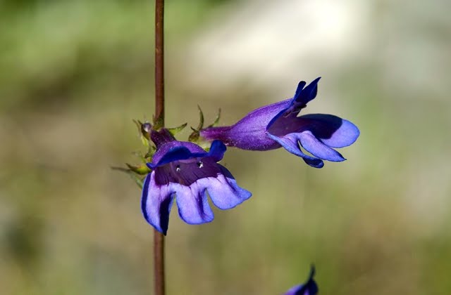
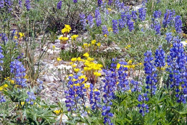
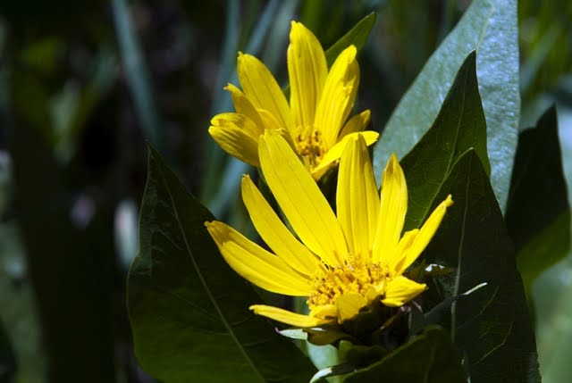
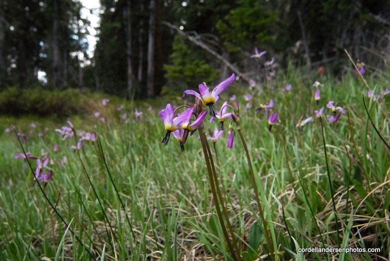
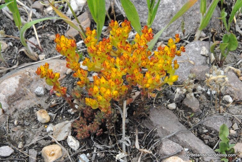
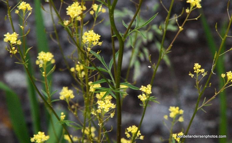
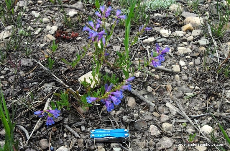
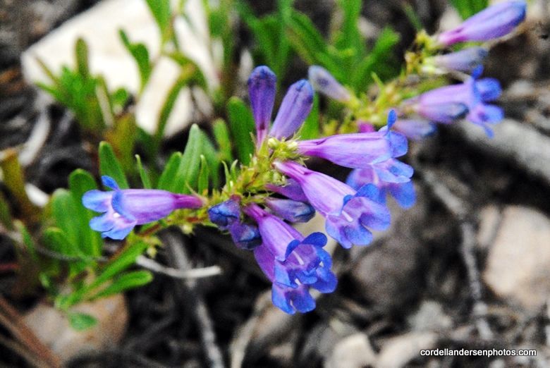
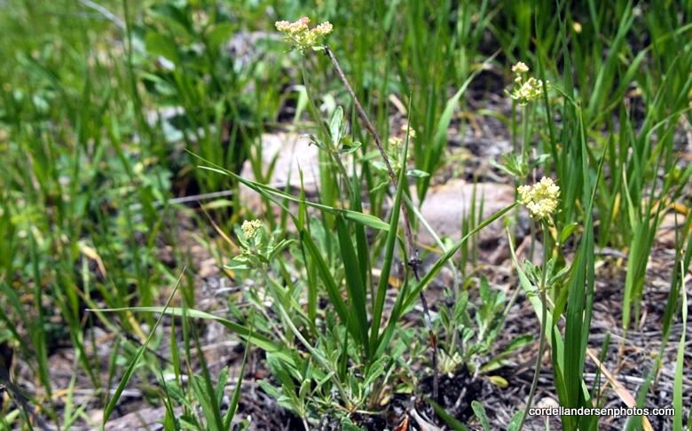
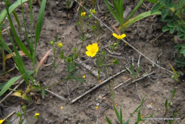
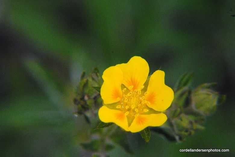
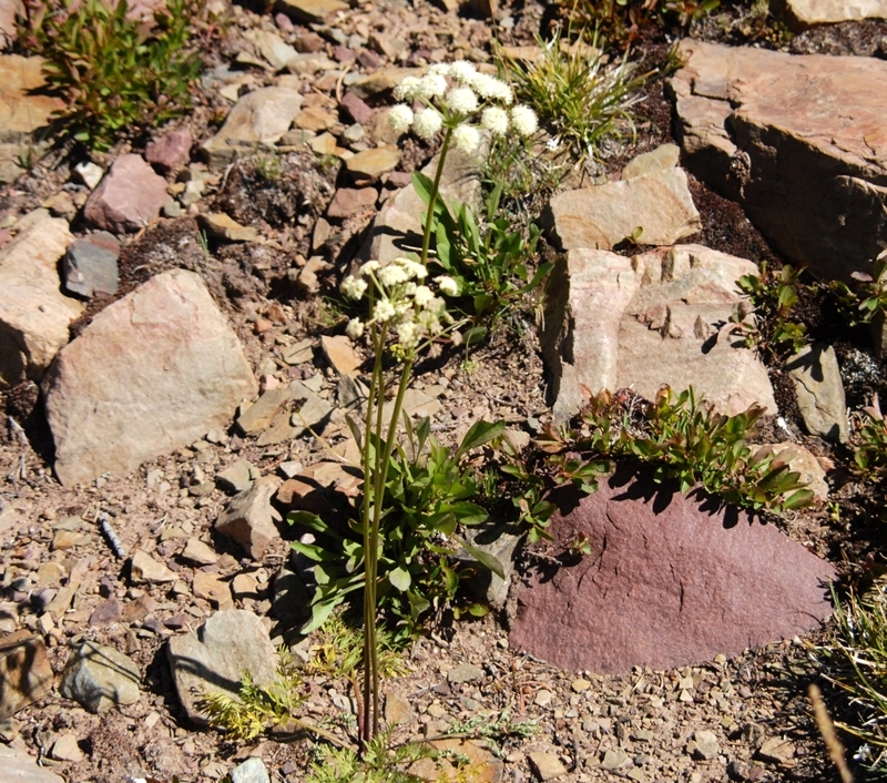
So off I went up the road, of course photographing the beauties along the way, like this Meadow Salsify, that is more a common foothills flowers, here found at about 9,000 ft. elevation.
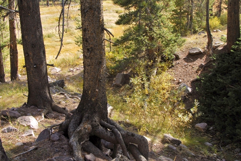
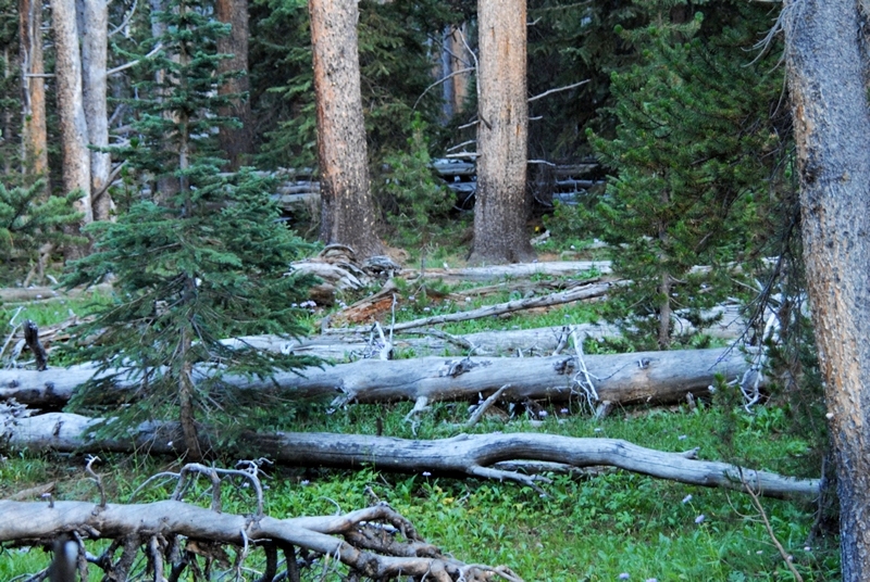
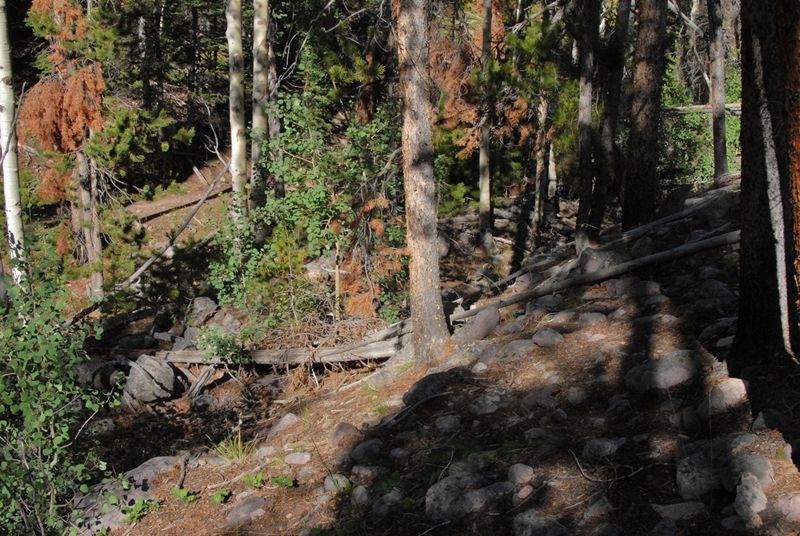
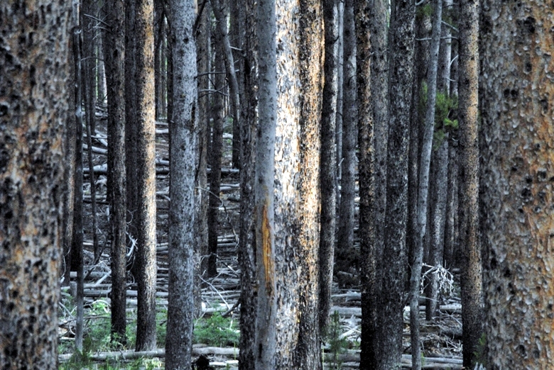
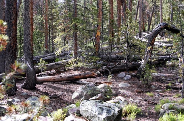
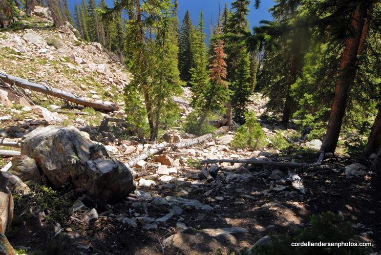
I was hiking through lodge pole pine forests that were very thick.
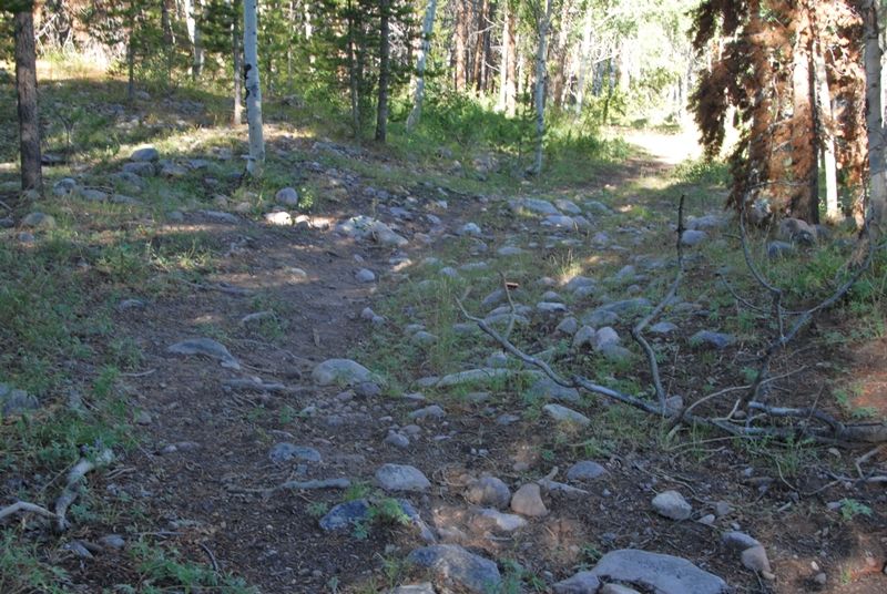
All of a sudden I noticed on my left what looked like an old roadway and turned into it.
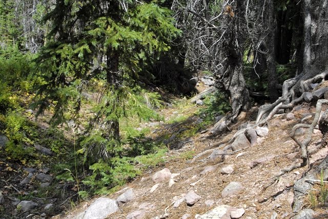
Often the “historical road” disappeared but usually by just going where it seemed right I would find it again.
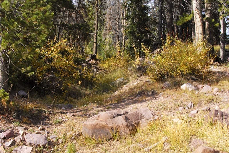
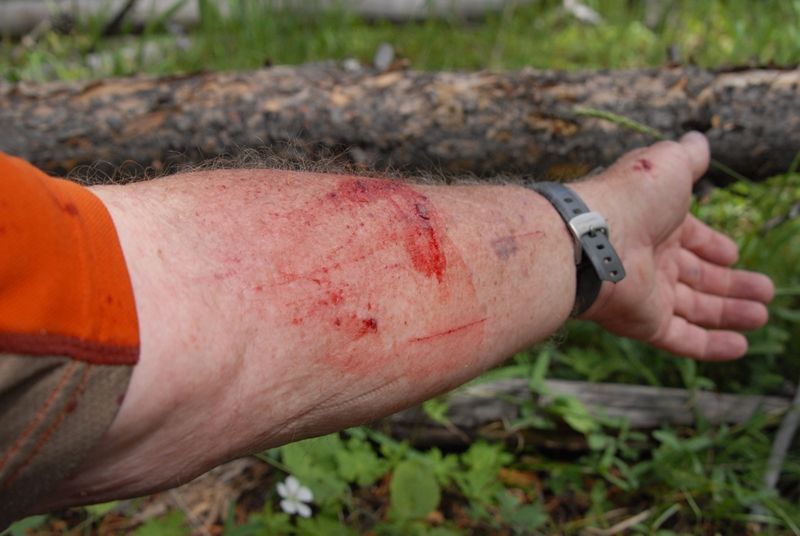
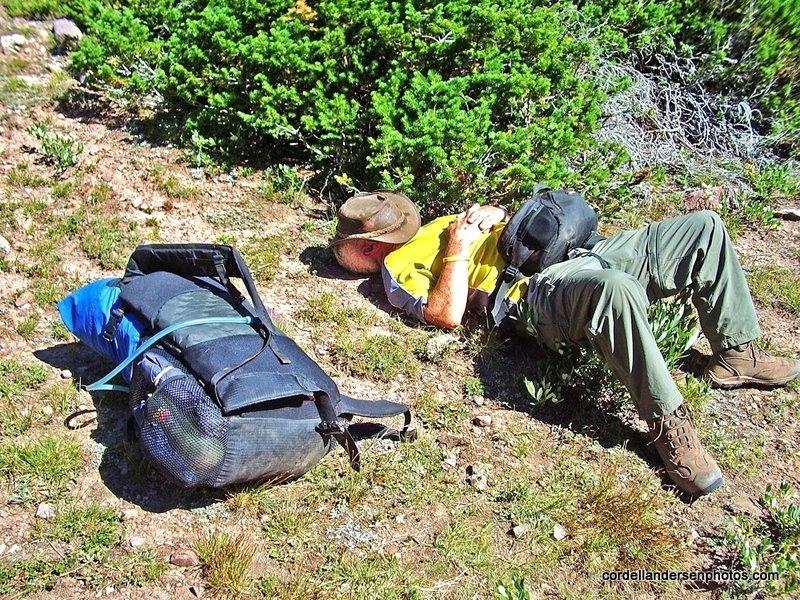
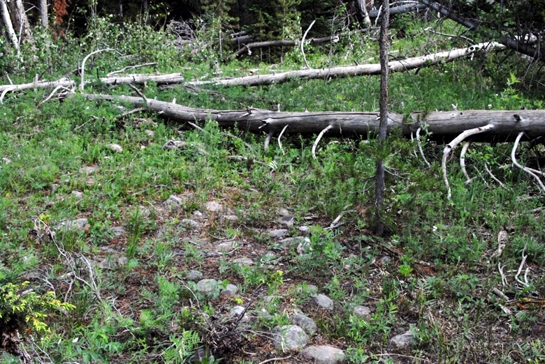
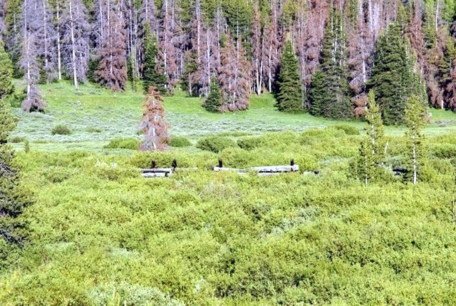
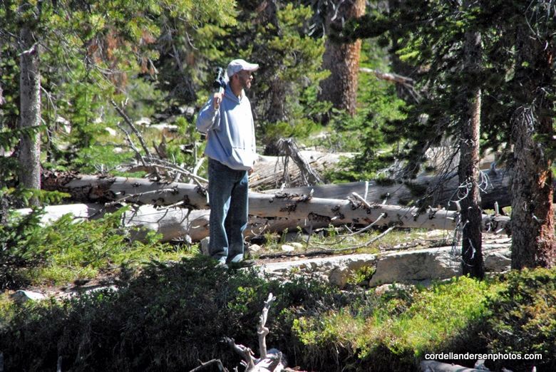
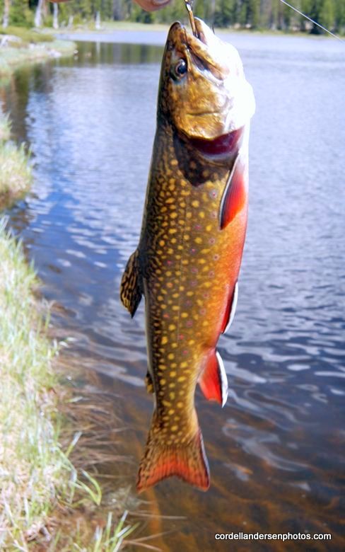
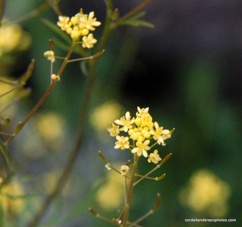
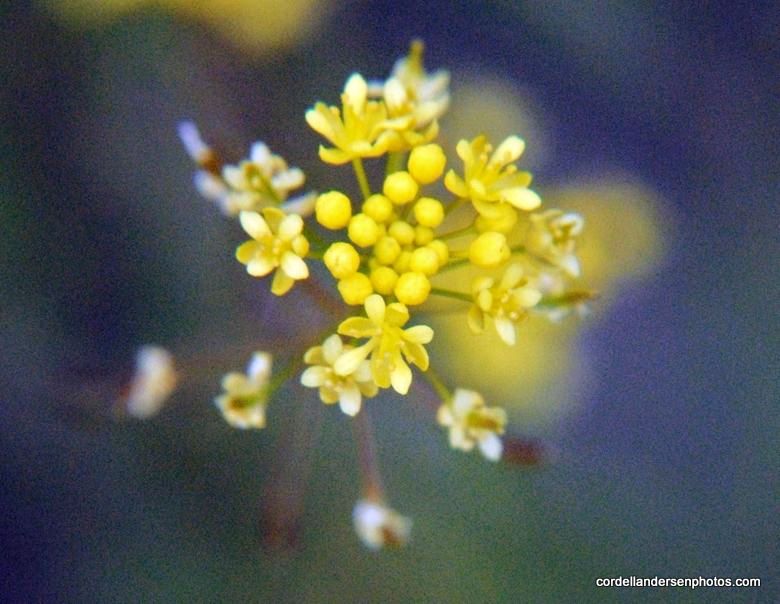
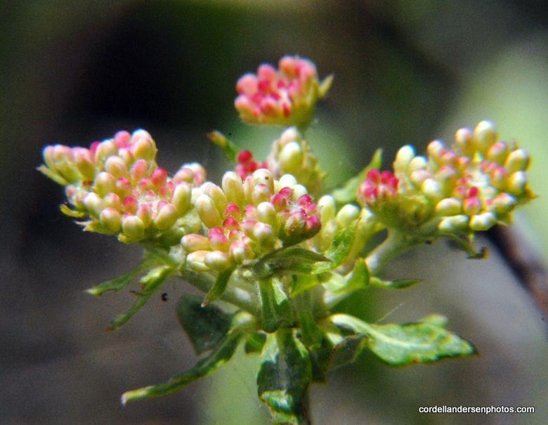
The bushwhacking wasn’t that hard as I found plenty of reasons to go slow and stop often.
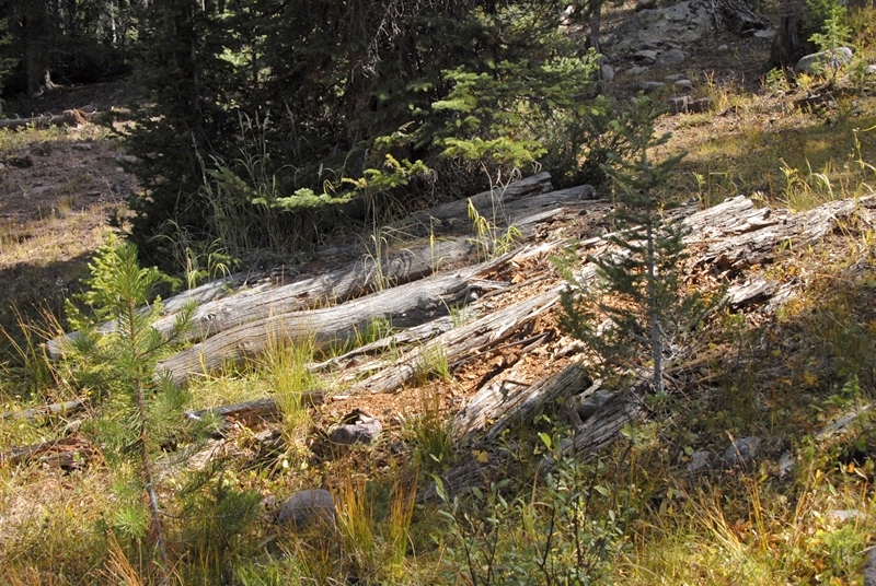
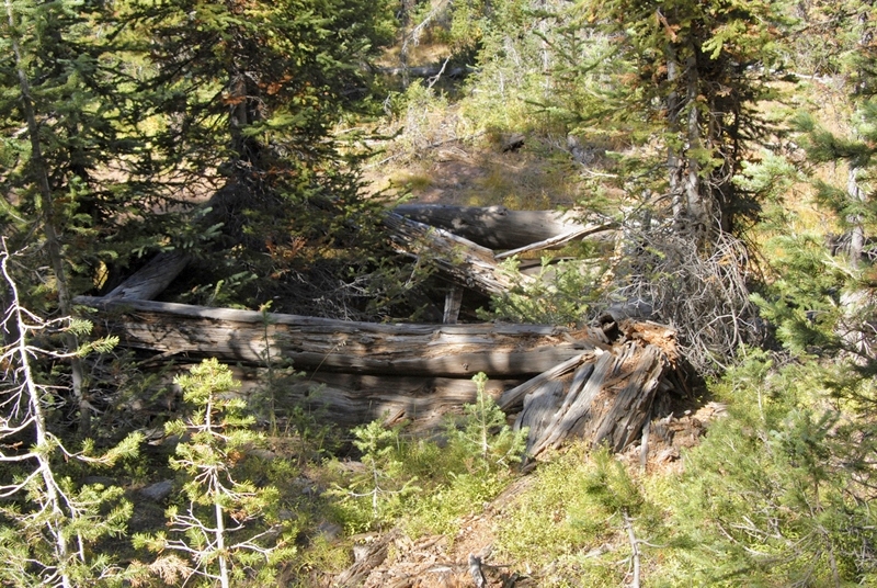
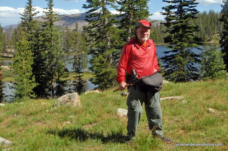
I was constantly scanning on both sides, up ahead, and even backwards attempting to notice any kind of structure that wasn’t natural and might be a remnant of the flume and/or the tie hackers.
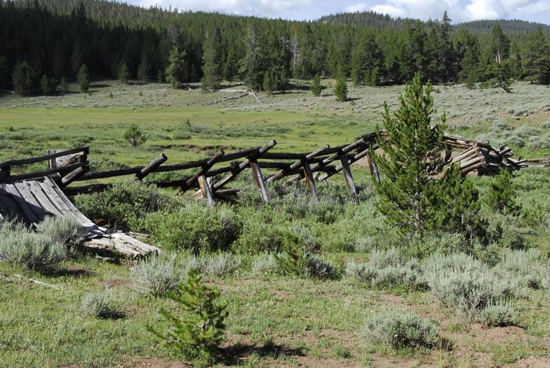
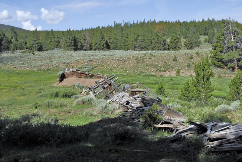
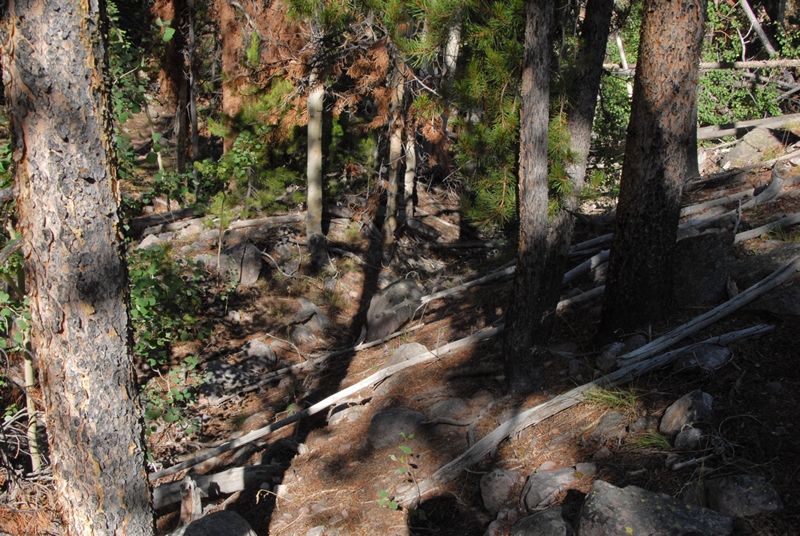
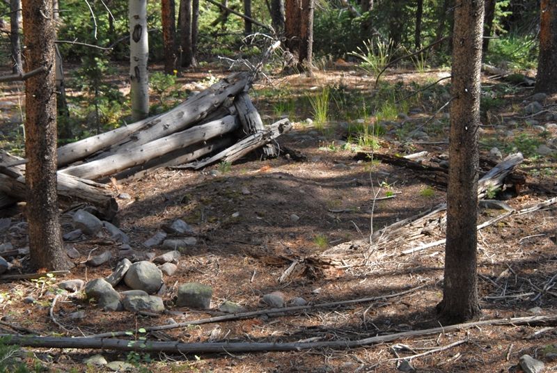
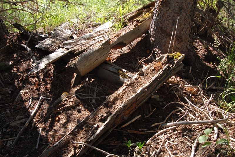
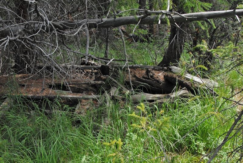
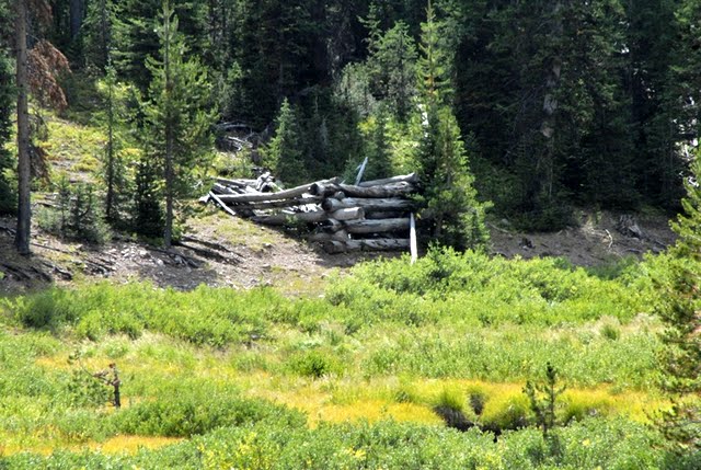
This one certainly wasn’t natural, but who knows what? Then I found the roadway heading down towards the stream.

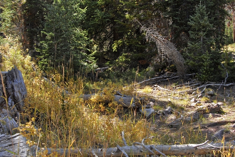
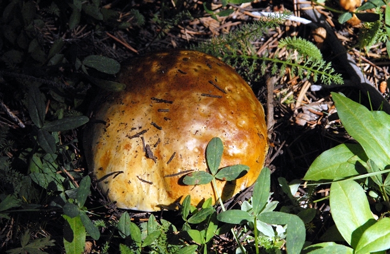
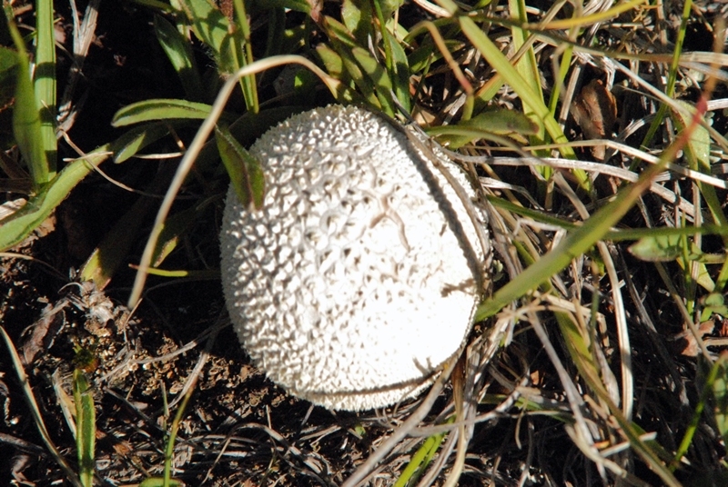
Nothing from our tie hacks, but no reason to get bored–rather inspired by the wonders of nature.

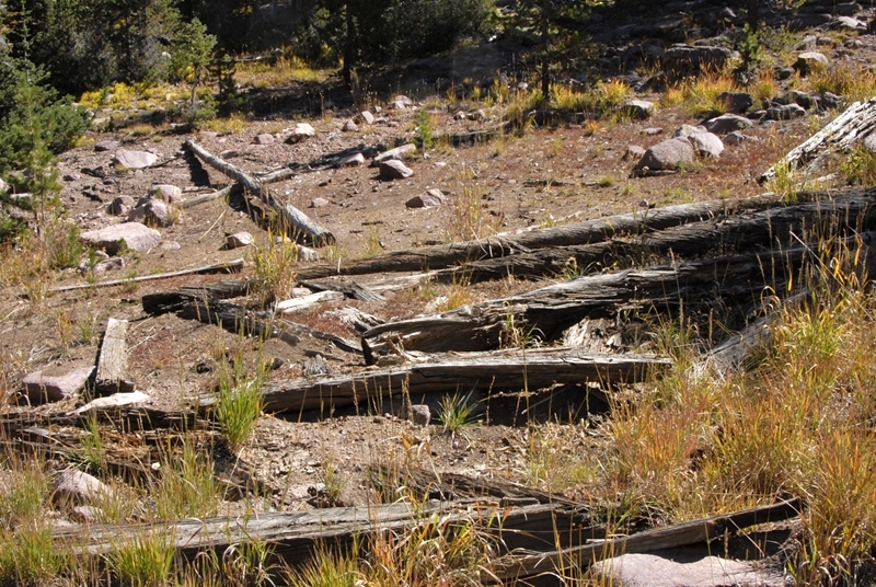
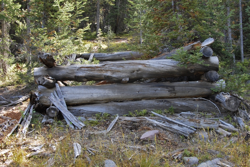
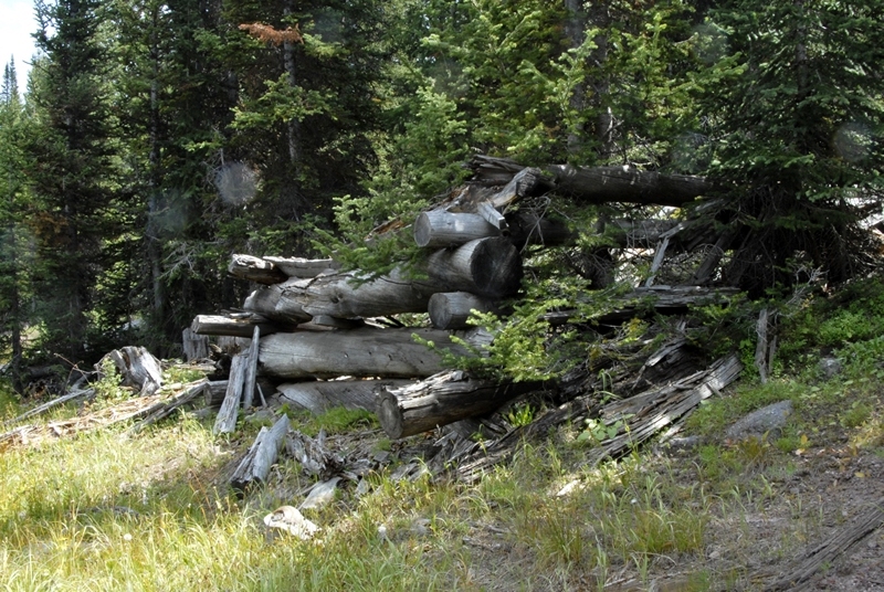
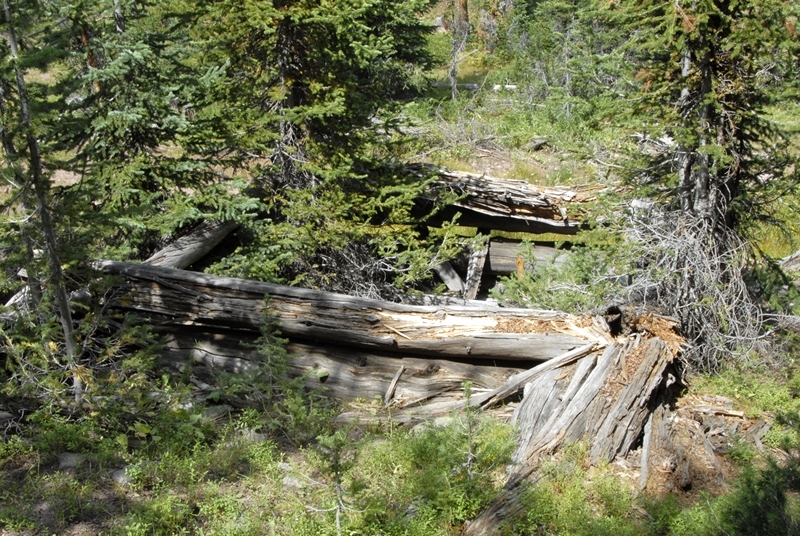
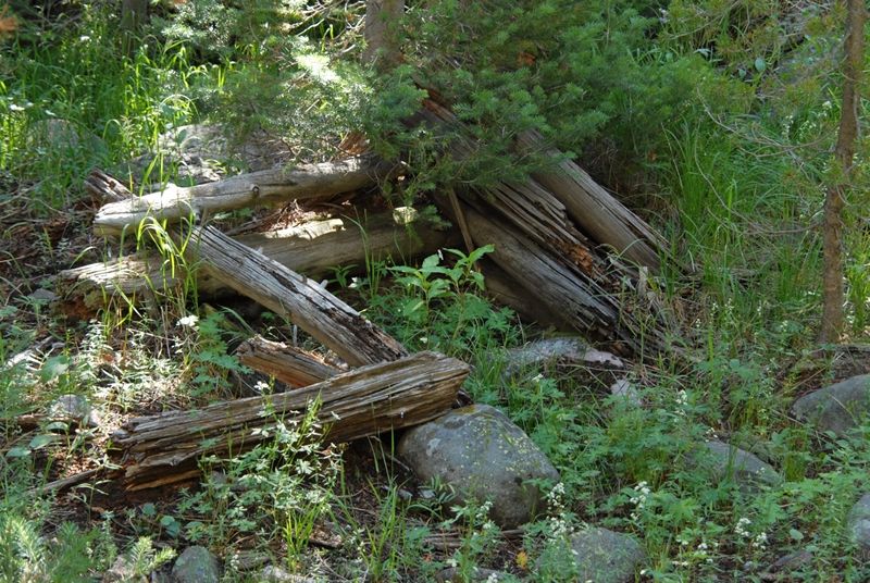
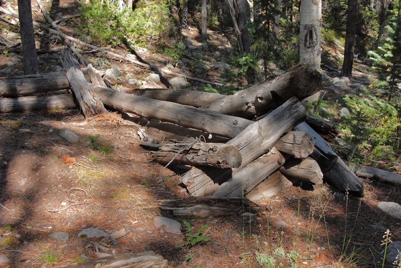
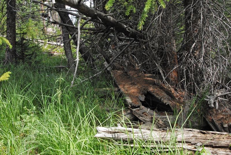
Then all of a sudden something that wasn’t natural.
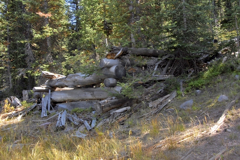
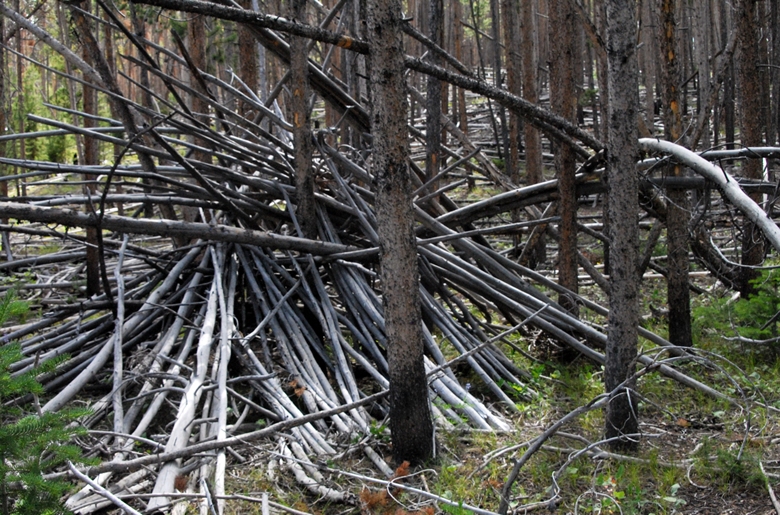
This reminded me of piles of rotting logs I have found along the Middle Fork of Blacks Fork.

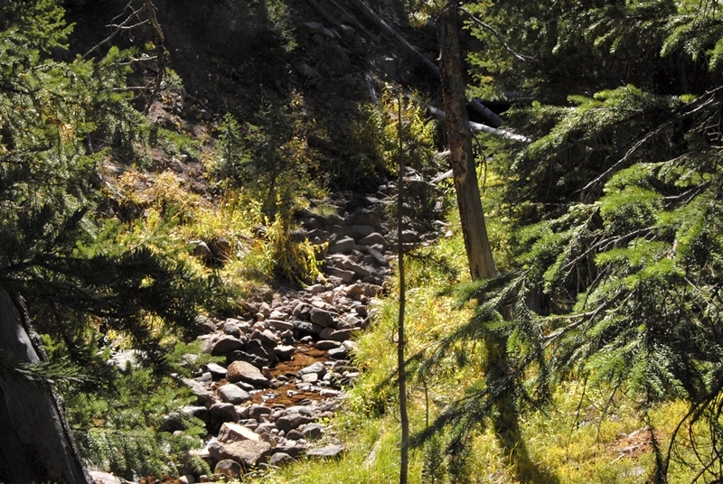
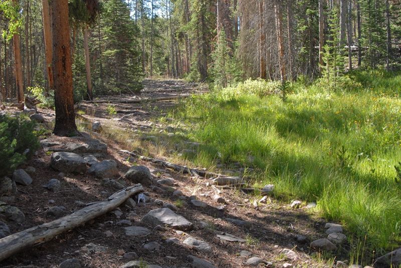
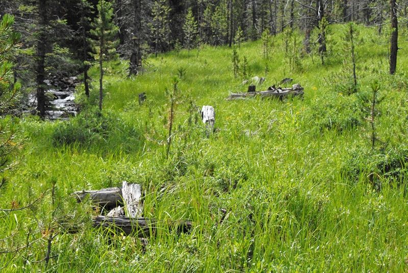
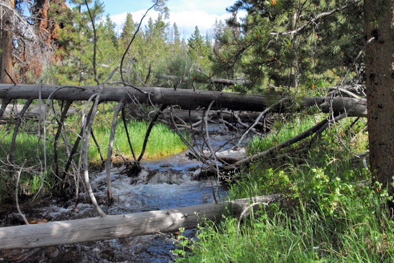
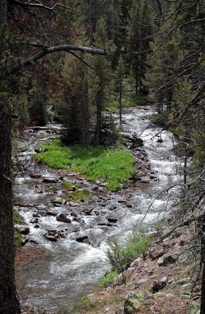
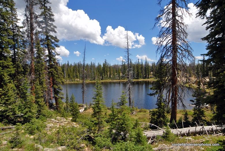
I finally made it to Main Fork, but what a tangle of downed timber. I tried my darndest to follow it upstream, and did keep track of the road for a while.
Along Main Fork here and there I would find remnants of the Historical Road.

Eventually the going became a real chore, and it was getting late, so I decided to backtrack to camp hoping to see something along the way I had missed. Back at home comparing my route to the study’s schematic of possible remnants superimposed on a topographical map, I could see I hadn’t gone far enough. I’ll show that topo map in a moment.
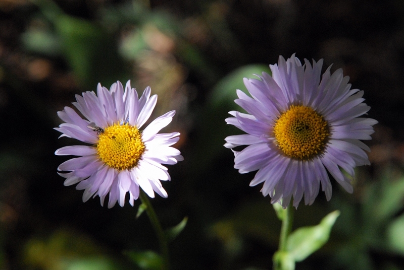
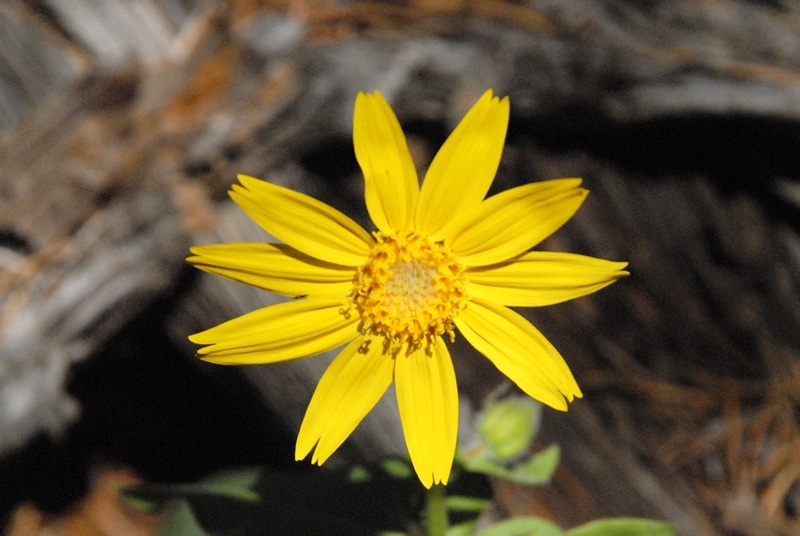
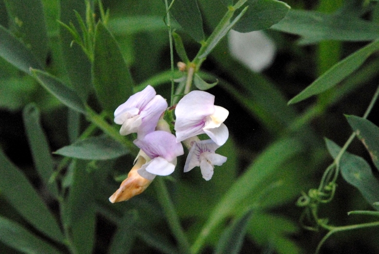
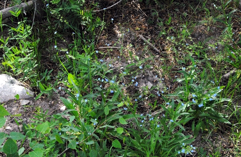
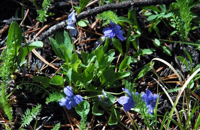
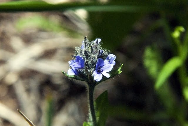
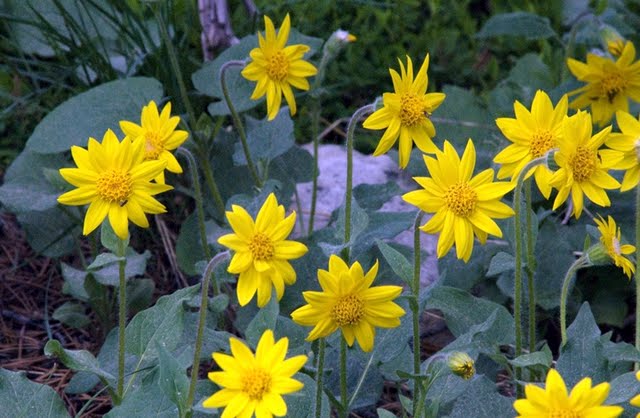
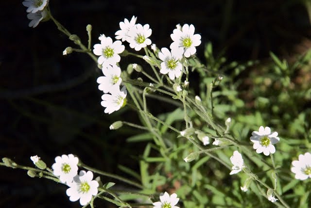
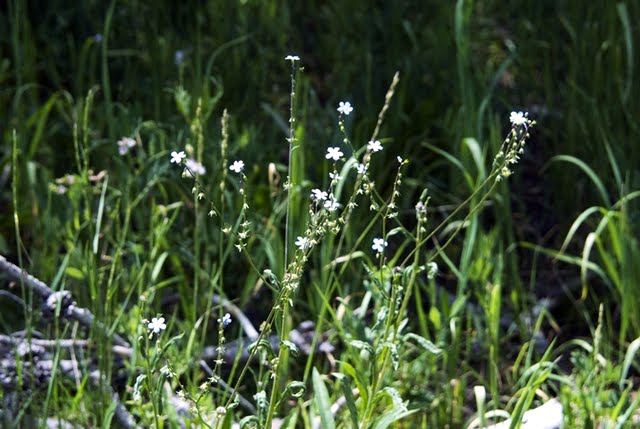
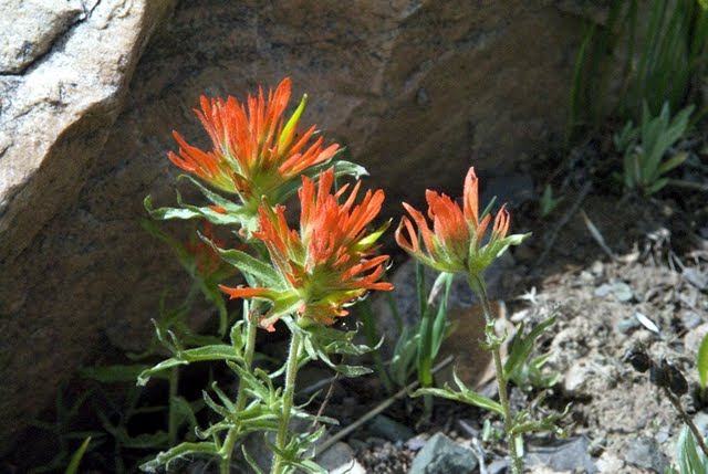
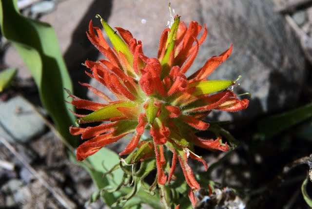
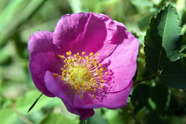
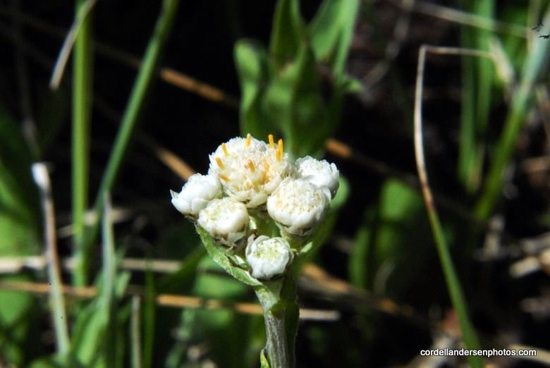
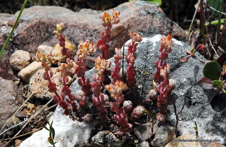
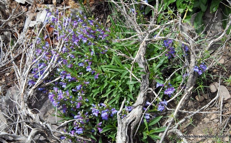
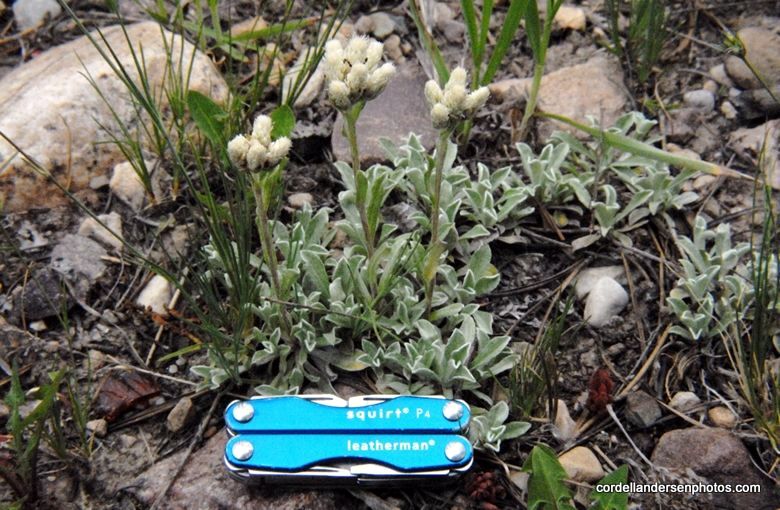
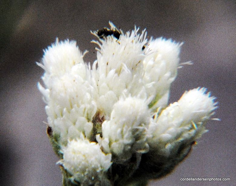
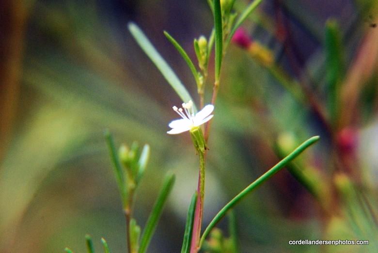
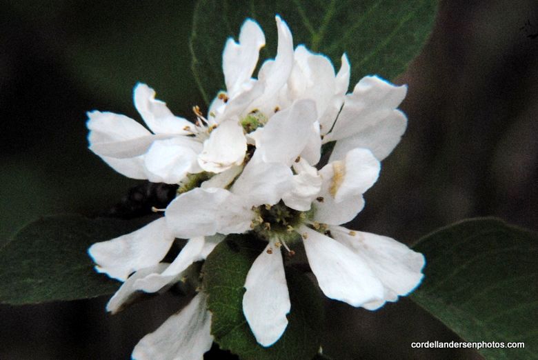
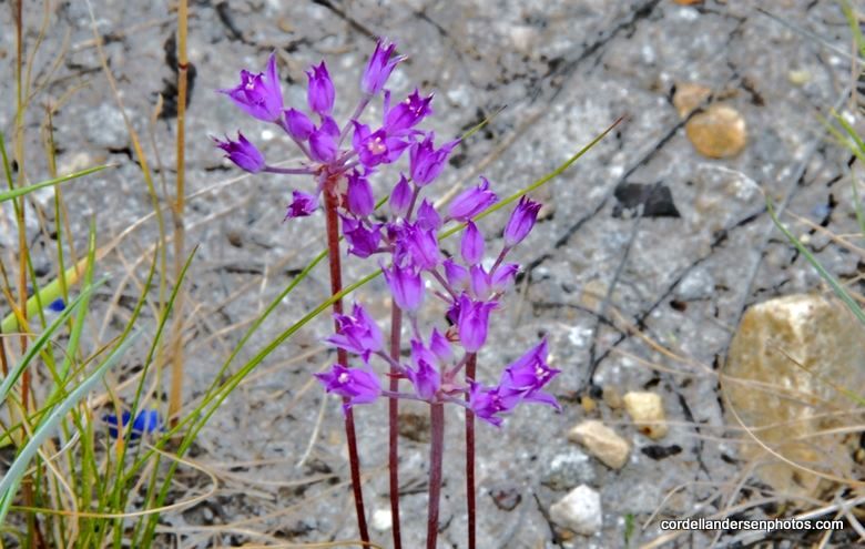
Wild Forget-me-nots.

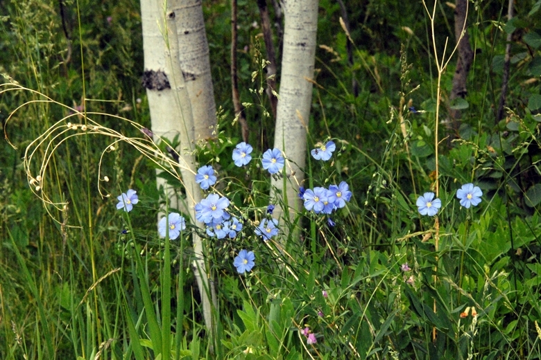
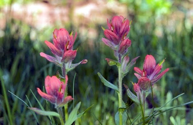
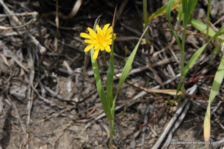
All along the way I found many treasures, but no remnant of the flume. The next morning, not having this Google Earth view and knowing that the graded road went way up the canyon, I decided to walk the road at a quick pace for 1 hour which  I did without finding anything.
Later at home I did what I should have done before this trip.  I made a copy of the topographical map of the same area, then matched the contour lines with the 1978 study map and sketched in exactly where the flume had gone and where there were remnants back 32 years ago. 
The crude purple with the heavy yellow line inside is basically where the Howe Feeder Flume went. My bushwhacking route following the Historical Road was the red dashed route a bit further north. As often happens when exploring one learns a lot, and ends up being better prepared to get the job done on the next adventure–which will be soon. I will begin the search near the Mirror Lake Scenic Byway where a jeep road crosses Hayden Fork and a trail begins heading for Hell Hole Lake. That trail apparently closely follows where the feeder flume came down, with sites along Main Fork paralleling the Hell Hole Trail. So I’m chomping at the bit to get up in the High Uintas again and return with a good report.


NOW LET’S SEARCH FOR THE HILLIARD and PIEDMONT GHOST TOWNS
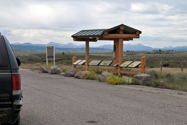
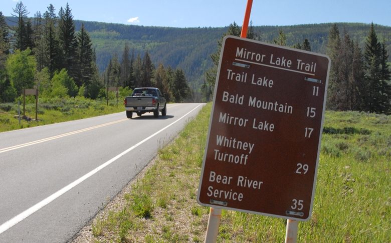
About 20 miles into Wyoming you come to this turn-off with important and interesting historical information of the area. I”ll attach here large views of all of them so those interested can read, and learn more about this fascinating area. Last of all I’ll get to our  objective of several “tie hacker period ghosts.”

Here you see the Hilliard Flume coming down from the Uintas, held up by 30 foot high trestles and the 80 tons of square iron spikes.

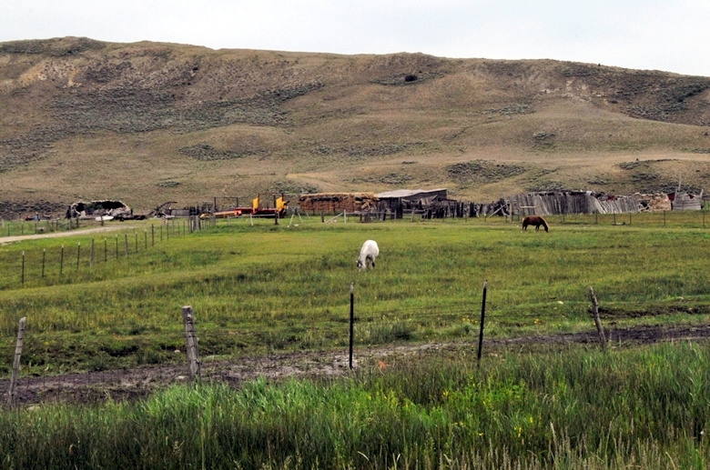
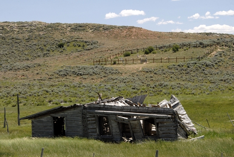
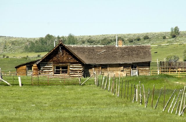
We will now drive out past Sulphur Creek Reservoir to see what is left of Hilliard. As you see below it is now made up of ranches and homes.
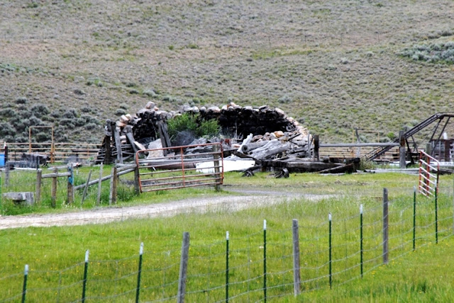
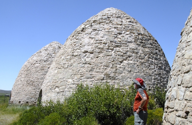
I was able to detect some remains of a couple of the kilns mixed in with ranch buildings and machinery.
I’ll zoom in so you can see what I was seeing–ruins of a couple of kilns.
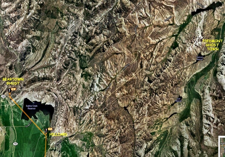
Below is the Google Earth view of the area. We’ll now travel eastward to the Piedmont Ghost town where the charcoal kilns are well preserved.
Below we are viewing from the left, the area of Beartown, then Hilliard, and Piedmont on the east or to the right. The Piedmont ghost town is to the right of the reservoir. To the far right you can just barely see 3 light dots–the kilns seen next.
Water was abundant in the area and a town grew. The settlers built a store, hotel, saloons, school, church and homes. It became a popular area for the soldiers from Ft. Bridger who would come for a bit of “Rest and Recreation.” When the railroad bypassed Piedmont the town gradually shrank, the last store and post office finally closed in 1940 turning it into a “Ghost town.”
This ghost town is connected to the “tie hackers” because they provided the wood that was turned into charcoal. Eventually coal mines in Wyoming and Utah made charcoal obsolete.
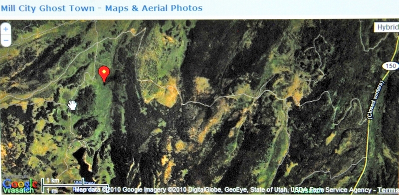
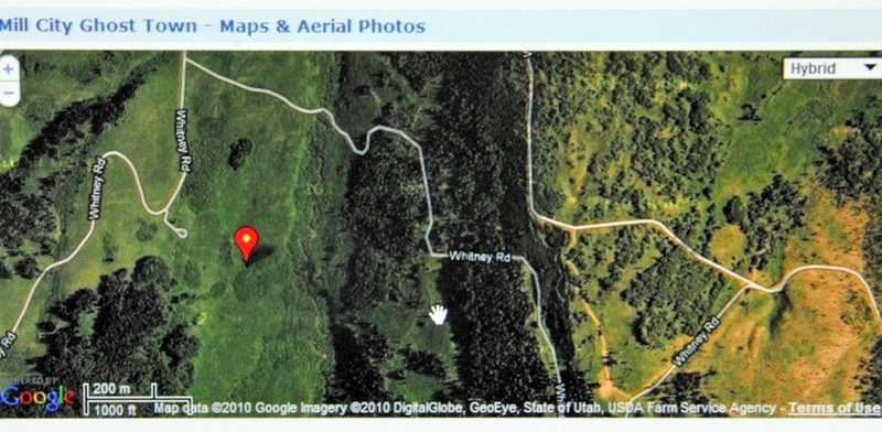
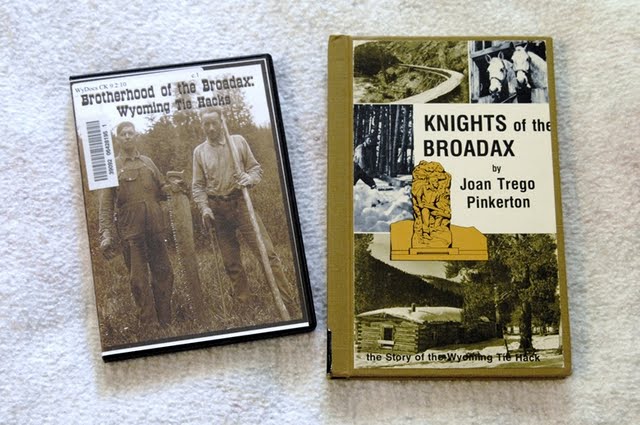
I made an exploratory trip into this area during the summer of 2009. You can see my more complete report on the area and many other tie hack sites I found on that trip. If interested go to: 2009 TIE HACK SEARCH.   Said 2009 trips are in the Galleries section of this website. Soon I will pull all these exploratory trips and reports into one writing.
Except for the kilns and the cemetery, this is all private land with No Trespassing signs. I zoomed in from the road.
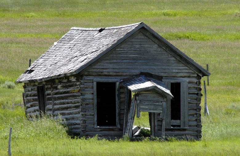
This is likely the school ruins.
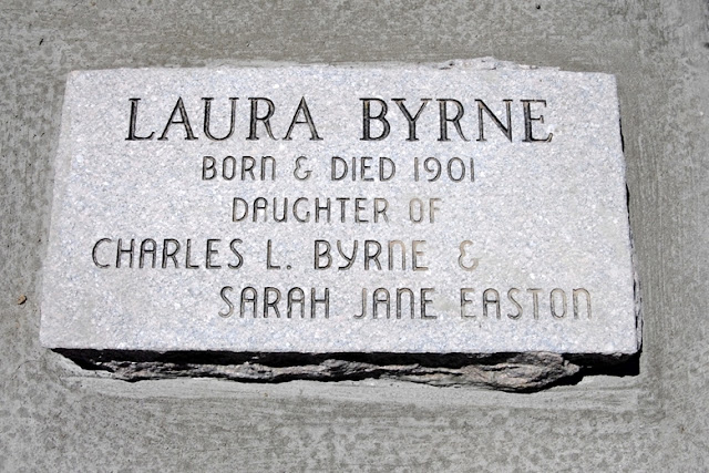
Across the gully and stream we see the cemetery up on the hill.
I photographed every tombstone and in my 2009 report give some interesting statistics that show how tough pioneer life was. In the final writing I will do on this pioneer period I will include all the photographs for anyone who wants to really understand. I’ll insert only one here from 1900 of a child born but died on that same day.
I decided to add one more, the last person buried in the cemetery — in 1998, indicating that the ties to this pioneer community still run deep among their descendants.
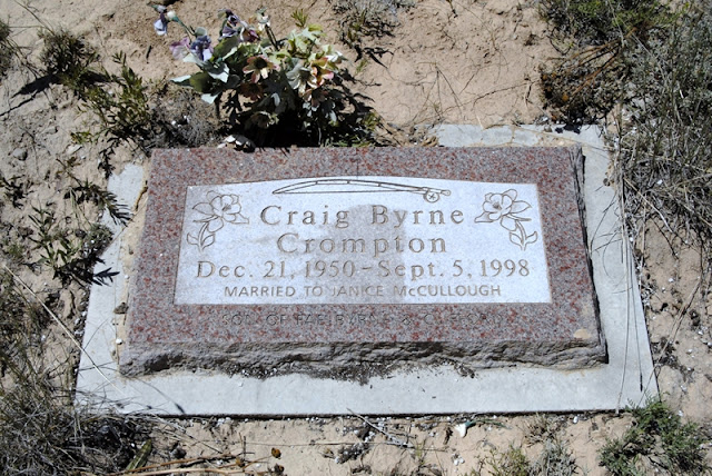
Before my final publication I will do a little investigation and find some of these descendants and add some real personal information.

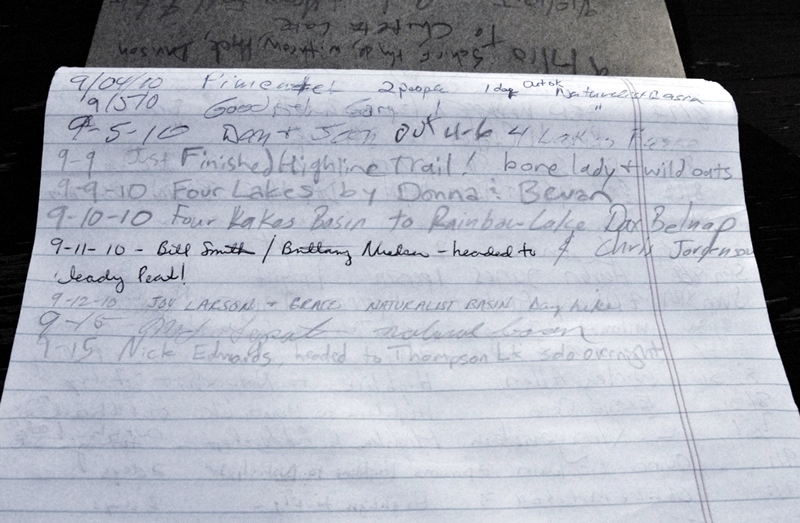
I’ve got PIONEER DAY on my schedule for the 24th, then a trip to New Mexico for a grandson’s wedding reception, so in a couple of weeks I’ll be back on the Uinta Project. Most likely it will be with more exploring to find and photograph real remnants of the flumes and whatever explorations in the high country my work will permit. Tune in to KSL OUTDOORS RADIO and call in your questions or comments.


I welcome any questions or comments.


Trip #3-2010 BIG FOOT COUNTRY, BEAR RIVER, TIE HACKS

LET’S START WITH THE GOAL


Trip #3 July 9-18  East Fork Blacks Fk. Trailhead –Little East Fk, Alpine Lakes, Squaw Pass, Porcupine Lake/Pass, upper no-name No.Star Lakes, Tungsten Lk/Pass, Y-19, Y-20 Lakes, Oweep/Lambert Lakes back to Trailhead . PURPOSES: Find and photograph Big Foot and family, test at least 14 lakes.  Fri-Fri-Sun.

This was the plan, but if you tracked me on the SPOT website you will have noticed that some modifications became necessary.  I’ll get into that as I describe what happened.  
First up on Friday, July 9th, the route was to Kamas and then up the Mirror Lake Scenic Byway, making a stop at the Highline Trailhead to use the facilities and see what the action has been thus far.
I checked the register and found the following:
From there I continued north to the turnoff and the North Slope Road heading east. To that turnoff it is about 100 miles from Springville, Utah.  I didn’t activate my SPOT tracker until actually arriving at the East Fork of Blacks Fork Trailhead, but I’ll insert here the Google Earth image that shows the Wasatch Front on the left, then tracking  (done on the way home) beginning at Francis and Kamas and up the Scenic Byway and down to the North Slope Road and  the 20 miles east, and the backpack.  The tracking north into Wyoming will be explained later.
I had got a late start and so didn’t leave the Trailhead until about 1:30 p.m.

The East Fork of Black’s Fork Trailhead.

I added my name to the short list in the Forest Service Register.
The 1st entry was on July 2nd, a trip to the Red Castle Area, reporting on their return that Red Castle Lake was still frozen over on their trip.
The sky was ominous.  The Evanston weather report I had for 7 days reporting afternoon thunderstorms for the next few days.  So off I went sort of into the teeth of the storm.
I set my camera on the rail of the bridge crossing the East Fork of Blacks Fork and got my portrait.  Of course Big Foot and his (its?) family were supposed to be waiting for me to take their portrait up Little East Fork.  Soon I was hiking with poncho protecting me and gear from the rain.  1.6 miles up the trail I managed fording Little East Fork that was high with the run-off but luckily split there into 3 streams.  Then up the canyon and eventually to the 1st ford.
There I was shocked with the realization that I had forgotten my wadding slippers which for me were essential.  I wasn’t about to wade the stream barefoot with my very tender and delicate reconstructed ankles and feet.  Neither did I want to  get my hiking boots wet and continue with wet, cold feet.
Especially early in the season one should have wadding slippers for most areas.
I had some good ones–much better than the heavy bulky ones now used by most hikers seen later with some new Uinta Friends.  But, mine were in Springville.  I decided I would not ford the stream but rather bushwhack my way up the south side of the canyon to where the trail came back across the stream.  It crossed my mind that this was a stroke of “good luck” as I would have a better chance of finding Big Foot off-trail where few if any backpackers had ever been.
My route was on the steep left side of the stream, providing me with some great exercise!  This was especially so as I was going prepared for a 9 day trip, and of course all my photo equipment which, with 3 lbs. of water totaled out at around 53 lbs. on my back and around my waist.
Lots of downed timber to say the least.  My balance and agility had improved a great deal since my first backpack of the summer.  Of course I was slow as a snail, especially in this kind of country. Due to my late start I wanted to keep going until 7:00 or later, but all of a sudden a storm was on top of me  and I frantically searched for a level spot wide enough between rocks and downed timber to set up my tent.  Then the rain was upon me, and I had to settle for what there was.  I covered my gear with my poncho and stumbled around setting up my tent and dumped everything inside.
  I had to eat a cold dinner of Wheat Thins,  egg nog and an energy bar.  It rained off and on all night.  I awoke early Saturday and tuned in to KSL OUTDOORS Radio, but reception was very bad.  I did pick up that they wanted me to call twice, once at the designated time, 6:37, and later to talk about fishing in the Uintas along with someone from the DWR.  I got the first call in though with a weak signal.  After 7:00 a.m. I tried again many times and failed.  Radio reception was also bad.  
Everything was a bit wet and so I got a late start scratching and clawing my way up the mountain.  No tracks of Big Foot even though I kept thinking I had seen a fleeting and frightening glimpse of his wife–but then realized it had been a nightmare of a woman I had to do with for a while…..best leave it at that!  Noticing as I could through the thick forest the mountain ridges around and ahead of me I calculated that I was about where the trail had to come back across the stream and began angling down–“down” as usually I had to keep high to avoid often near impassable terrain. 
 For the first time in my experience I began wondering if a GPS device might not be a good idea.  I’ve always resisted saying, “Jedediah Smith wouldn’t have used one!”  But, it occurred to me that he wouldn’t either have had a down sleeping bag, rather a buffalo rob!  
For information go to:  GPS
I had navigated pretty good and all of a sudden I was where the trail crossed the stream.
I had ahead of me a long stretch before another ford and I began enjoying myself back on a trail and photographing the many varieties of wildflowers.  
Zooming in on many tiny varieties that go unnoticed by hikers as they are so tiny, these being about 1/4 inch wide.
Eventually I came to the 3rd ford.  Mostly because of the off-trail bushwhacking up a steep canyon littered with a jig-saw puzzle of downed timber, I was pretty tired and I began getting that feeling that for me to continue I would need to take a day of rest.  


I found a nice spot for my camp and decided to stop early, take my supplements and consider seriously some things that were weighting down on my mind.  
I got my water bucket and headed  for the stream to get the water I needed to mix all my stuff.
While there two backpackers appeared.  They were equipped with wadding slippers and mentioned how difficult the fords had been downstream. They couldn’t believe how I had avoided both difficult fords.   Up this far the stream was smaller and I got shots of these new Uinta Friends as they crossed the stream.


Take notice of the crucial pole you should always use to steady yourself as you cross.
Made it, but forgot his boots.
His buddy sailed them over the stream.  Then his own.
Then he was on his way too.

They were on a great loop backpack up Little East Fork to Squaw Pass and down to Oweep Creek, then over Porcupine Pass down around through the upper Garfield Basin and the headwaters of Yellowstone Creek to Smith’s Fork Pass and north into the Red Castle Area.  From there they would take the Bald Mountain trail back to the East Fork of Black’s Fork Trailhead and their car. I confess feeling a bit envious of them and their youthful energy, but I had to pay heed to what my body and mind seemed to be telling me.  I got my water and  was soon back at camp  preparing my recovery supplements.
I settled in for a “day of rest” and contemplation with a lot on my mind.
I’ll admit that none of this was as easy for me as I had hoped.  I was strong enough, but so slow that to do it all would require more time than alotted.  Some of my kids smile and say, “Dad, what do you expect, you’re getting sort of old!”   But, my balance and agility were improving with each trip.  High altitude sickness, a great concern in the last few years, didn’t seem to be a problem anymore–even though I had only been as high as 10,800 ft this summer with much higher passes ahead of me. Nights were long as I had difficulty sleeping well. Maybe a bit of loneliness was part of what I was feeling, but it was clear that after 1,350 miles of backpacking in the last 8 years I wasn’t enjoying myself as much as a few years ago.  It was also a bit disconcerting to be a bit fearful of finding a way to ford the streams, but maybe it was wisdom?   I began daydreaming about having a little house trailer parked at Trailheads sleeping in comfort, eating good  and doing day hikes photographing flowers and wildlife, and maybe doing a good study on “Fishing the Streams of the Uintas,” but first finishing  my research and search for the  unsung American heroes, the  Tie hackers. 
But there was something much more weighty on my mind.  In a recent Foundation for Indian Development newsletters (I’m the volunteer Executive Director)  I had talked about how low donations were and how terribly sad I was to have to say “NO”  to life and death requests for help from my Mayan brothers and sisters.  I recognized that the economic situation was (is) difficult, but that those who wanted to donate could easily do so, perhaps by taking one day less vacation,  one day less golfing a month, or one less movie a month, eating out, etc.  But there I was fooling around in the Uintas and not working enough to be able to donate much myself–except for my time keeping the 40 year effort alive.  With the desperate economic situation I felt like one big hypocrite to say the least. For information on what I’m talking about click on FOUNDATION.  On that website you can donate Online to one of the most worthy causes around–to which I have dedicated more than 50 years as a non-salaried volunteer.

The next day, Sunday, I started off sleeping in some, clicking on my radio in time to listen to The Mormon Tabernacle Choir and, in keeping with the “Day of Rest,” I even had my simple little Sacrament service using my own modified version of the prayer from my tiny military version of the scriptures.
The decision came quickly to get down the canyon and on to home to begin acting on my own advice, work more and be able to become a more significant donor helping those in need.  I would do my darndest to finish working on key aspects of my High Uintas Project, but do better putting in order my priorities.  A Google Earth SPOT tracking of the backpack shows me returning as I had come, bushwhacking down to the main canyon and on to the Trailhead.  Looking at this view, and zooming in on what I hadn’t been able to accomplish awakened an excitement in me to still one day make this trip–but the loop route.  I hate failure, so one day . . . . . 

As I moved down I stopped frequently to photograph the inspiring beauties of our Great Creator, and constantly felt grateful for my faith being strengthened and confirmed, and for the incredible exercise I was getting going through this off-trail wilderness.


Within a couple of hours I was bushwhacking down through familiar territory and feeling energized by all the wonders around me.  I didn’t see Big Foot, nor his wife (except through the horrible nightmare), but I will spare you the trauma of inserting a photo here–you will just have to believe me!


Soon I made it down to the main canyon, got safely across the divided river, and in good time was at the last sign (actually the only sign) that was a crosstrail on the other side of the river from the Trailhead.

A few minutes later I was gratefully at the car, having made the 7 miles since noon, but with the off-trail portion, it translated to more like 10 miles.  Not bad for an old 74 year old geezer!

Now I noticed at the Trailhead a sign warning me of “TREES ON THE TRAILS,” not to mention the increase X100 for my bushwhacking route.  Also I noticed another sign concerning the domestic grazing permitted in the area–I took notice as I could hear from my off-trail route the sheep being moved up the canyon as I was going down.

Many have asked me about sheep and cattle in the high country.  It continues due to what they call “Grandaddy traditions” carrying on what has been going on for many years, all of them on the North Slope coming from Wyoming–which you will see in a minute or two.
I headed west on the North Slope Road with the plan of taking a bit more advantage of having made the trip by camping out on, and exploring the Bear River, and doing a bit of exploring for the tie hackers.  Along the way of course I had to stop often to record the stunning beauty.

Some of these images of wildflowers will eventually be worked into my Alpine Wildflower Albums in the Galleries section.


At Carter Creek I took a telephoto shot of the remains of a tie hacker splash dam, and a bit further along observed a doe with two new speckled fawns, and in low light clicked off a shot as they took cover.


We have now arrived at the East Fork of the Bear River, seeing in the distance Spread Eagle Peak.

From this spot I turned my camera to the west to capture an image of a humble log cabin.

From my youth I had always dreamed of having a log cabin in the mountains–somewhere, but this isn’t what I had in mind.  If said “cabin”  is to come from my High Uintas Project’s commissions on outdoor items purchased from links on my website, it will be way down the road as so far the Project’s income comes to $11.64!   Maybe we could do better by asking for a donation to the causeif you feel there is value to you in my website and the guidance I give to make possible safely enjoying our wonderful outdoors. You could perhaps look at a donation being like a subscription to your favorite magazine.  Best we get back to enjoying the beauties of nature I found all around me along the Bear River.


The Bear River flowing out of the High Uintas.

Some of you might recall from other articles on my website that the 500 mile long Bear River,  born in  the Uintas,  is the largest river in North America that doesn’t empty into an ocean.  It flows north into Wyoming, then swings west into Idaho, and turns south flowing back into Utah and the Great Salt lake.  As you see it is a beautiful fishing stream.  I fished a little, then got diverted to photographing flowers, when Sherman and Jan appeared, fly fishing rods in hand.

What a great chance encounter.  Are you noticing their humble waders?  Let’s focus on them.

Later, on my way back from the tie hack search in Wyoming, I stopped to say goodbye and was invited to a wonderful picnic lunch, along with some great conversation. THANKS TO BOTH OF YOU!   She had won the fishing contest with one Brown trout caught on a tiny nymph.

I decided to finish off the trip exploring more about the tie hackers.  See my preliminary photo essay on these incredible Americans clicking on TIE HACK HEROES.   I have 3 or 4 more aspects of their history to investigate and then I will publish for the world this great story.  So far what I have is the best I have seen on the Utah tie hacks, and I’m determined to do these heroes justice. What I have found in print, and the DVD shown above deal with Wyoming tie hacks, mainly from the Wind River area.   
One aspect of my investigation deals with the Hilliard Flume, described below.

I drove up into the mountains   west of the Scenic Byway to find evidence of where this flume came down the mountain.  There were places where its construction was built 30 feet off the ground. In other places they dug huge trenches through the terrain.  I found one of them shown below.

Here we see the beginning of the cut through the terrain as the flume came down the mountain.  Below the camera was turned around looking down (north) seeing the cut.

Nearby I noticed across the gully what looked like cabin ruins, and got close.

Low and behold it was MY CABIN!

This coming Friday and Saturday–July 16th and 17th I will be in the area with my maps and old Forest Service writings that show where there might still be some remains of the flume.  But I didn’t have my files with, so decided to not waste time and head north into Wyoming to search for the aspect of the tie hackers I would most like to find.  As I headed north I was being approached by a white wave.

More sheep for the High Uintas alpine basins.

Mexican sheep herders were moving 1,200 sheep into the high country.  Back 60 years ago sheep herders in the High Uintas were Basques from Spain.  Now they are from Mexico, Peru and Chile.

There they go towards Lamotte, Ostler and Spread Eagle Peaks.

We are heading north towards Evanston, Wyoming driving through wonderful ranching country. Our objective is to learn more about what became known to many as Beartown.  About 10 miles from Evanston there is a tourist historical turn-out  that everyone should take a moment to see. The part I was interested in was:

I’ll zoom in for you.

I can’t believe that “Nothing remains today…”   A town of 2,000 people has to have something remaining and I want to find whatever it might be.  I drove around some, like up to the nearby Sulfur Creek Reservoir, but found nothing.  We are looking south towards the High Uintas.


Once again I didn’t have my files with maps and aerial photographs, etc. in hopes of locating the area, and then finding and photographing something.  I will work on that also this coming Friday and Saturday, and report.

I returned south up the Mirror Lake Scenic Byway and soon had to begin stopping again from time to time.

Here we are looking towards Lamotte and Ostler Peaks.  To get to this beautiful area, you turn off at the sign to Christmas Meadows and drive about 4 miles to the Trailhead.  From there you can backpack to 3 basins:  Amethyst, West, and Middle Basins, absolutely gorgeous areas you can see in my Mountainscapes album in the Galleries section.

From here I drove up and over Bald Mountain Pass, of course stopping frequently when I just couldn’t resist.


Below is the SPOT Tracker Google Earth view of my travels on Trip #3.

To the east is the North Slope Road leading to the area of the backpack.  The tracking line from the North is from the Wyoming area of Bear River Town following the Mirror Lake Scenic Byway that traverses the western end of the High Uintas and continues down to Kamas, and then to Francis where it ends.   

If all goes well I will be exploring the Hilliard Flume, and searching for remains of Bear River City.
Before I leave I will have before this article the SPOT TRACKER link to where I will be on that short trip. On Saturday morning I will make my satellite phone call to KSL OUTDOORS RADIO, most likely from a camp along the Bear River.

In the meantime, if you want to learn some about the Tie Hackers, go to this article by clicking on:
TIE HACK HEROES.   It is a what I call a photo essay.  To get the story you should go from picture to picture reading the captions and comments.


SEARCH FOR THE GOLDEN TROUT–TONS OF COLOR FOUND!

TRIP #2-2010 EXPLORING THE MURDOCK BASIN–July 2-4, 2010
This is an area outside of the Wilderness Area, but worthy of checking out as reportedly Golden Trout could possibly be found there.  You go east from the Wasatch Front to Kamas and there get on the Mirror Lake Scenic Byway–SR-150.  About 14 miles from Kamas you come to this worthwhile display that for me is new, concerning the Civilian Conservation Corp (CCC) of the Great Depression era.  Many of its projects were in the High Uintas, such as construction of trails, the Mirror Lake road, etc.  Later, for your enjoyment,  I’ll put on the website a photo essay based on this display
Leaving this rest area one sees a sign indicating distances to key spots along the highway seen below.  It will help you get your bearings as you drive up this marvelous scenic highway.
About 5 miles further, or 70 miles from Springville, you come to the Murdock Basin Road.  It being paved is very deceptive to say the least–I’ll explain  in a moment.  Just a short distance down the road is the first sign:
Soon the pavement ends and the real road begins, but first a Forest Service information sign welcoming you to the area. 
The map shows a short distance ahead a fork in the road, the right fork leading down into the Canyon of the Duchesne River.  We will take the left fork our goal being Echo Lake.  Below is a zoom in of the map with our target area in the dead center.
The road becomes very rocky and rough to say the least.  You would not want to navigate this road in a passenger car.  My small 4×4 SUV had me many times on the verge of parking to go forward on foot with  pack on my back.  Somewhere along the way my side view mirror got ripped off.
Here we see the fork in the road.
The road looks pretty good in this shot, but believe me I had to many times go very slowly easing myself along as I rode the high center hitting my frame more than once, just barely slipping between boulders I didn’t have the clearance to go over, etc.  If you aren’t familiar with the phrase “ridding the high center” you’d better not attempt it unless you have a larger, high clearance 4×4. 
The next sign you come to gives you the choice of going to Pyramid Lake and  Echo Lake, then a fork giving you the choice of one or the other.  I continued to Echo.
Soon I decided to hoof it and started with pack on my back, but then realized that most of the road behind me was worse, and then continued in the car to the end of the road with the lake in sight.  With pack on my back I continued to the lake and then circled around to the northern shore where high cliffs guarded the lake.  Finally I was able to relax a bit and begin noticing the beautiful colors of wildflowers all around me.  I will not make any effort to identify the flowers I insert, but leave that for the Wildflower Albums in the Galleries section.
This is a tiny flower not more than 1/2 inch wide. 
Beautiful Echo Lake about 9,700 ft. elevation.  By the way NOW THE MOSQUITOES WERE OUT IN FORCE–so from now on go prepared with 98-100% Deet insect repellent.   I was assured by the Division of Wildlife Resources that the lake still had Golden trout, last year some being caught as large as 12 inches.  The Utah State record is 14 inches from Atwood Creek of the Uinta River Drainage.  They are native of portions of the Sierra Nevada Mountains in California, but the world’s record is a bit over 11 lbs. from Wyoming’s Wind River Wilderness.
I set up my camp, fetching and purifying enough water for all my needs.   
Then put  to soak all my supplements, dinner, and breakfast and then went fishing.  I tried lures like my favorites Colorado Spoon and Thomas Cyclone, but with no luck.  As the evening approached the lakes surface turned to glass and surfacing fish were seen so I changed to flies.  
With mosquitoes all over I thought that pattern would be a winner, but nothing.  Finally a larger pattern sort of moth-like began working on almost every cast.  Time after time I was excited hoping to see a Golden trout, but small Eastern brook trout is what I caught, and kept one for my dinner.
In circling the lake and navigating downed timber I scraped my knee and immediately disinfected it  with what I had at hand–insect repellent.  Later I added Neosporin antibiotic ointment.
To get my small campfire going I replenished my supply of pine pitch–enough for the several fires I would need on the trip.

Very quickly I had the fire going and dinner was soon ready.
The next morning I was awake listening to KSL OUTDOORS and at 6:35 made my Satellite call. When I talked to the guys I didn’t know that in the 2nd hour they were going to talk about “BIG FOOT.”   This was of great interest to me as my next trip will be backpack through the area where reports of his (its) sighting have been reported, and where I have said, “Rumors have it that Big Foot is waiting for me up there to take a family portrait!”  
I tried again to luck out catching a Golden trout, but failed, so packed up and headed up the mountain–and I really mean “UP!”
I circled south around the lake until the cliffs ended and I could see a possible pathway up the mountain.  It was very steep and rocky, with a lot of downed timber.  I found that I was doing a lot better with my balance–that was questionable on my first trip.  My “mountain legs” were beginning to work for me.  The guidebooks state that there is no trail from Echo Lake up to Joan, but when almost to the top I found a trail that angled up from about the area where the road  ends.  It is not a maintained trail with much downed timber blocking it one has to work around. Along the way the view of Echo Lake was breathtaking as you see below.
Soon Joan Lake appeared with an old sign post, and a piece of wood with “Joan Lake” written on it with charcoal.  The lake is at 10,030 ft. elevation.
As I was trying to get a photo of the lake Dan Olsen appeared with a rifle over his shoulder.
He told me he had seen bears in the area down-below.  I had come prepared for such with my Colt .45 Defender just in case I needed to fire a warning shot.  
I worked myself around to the northern edge of the lake  and set up my camp, preparing all my stuff for the evening and the next morning, and then headed out on a day hike to test the waters of Gem Lake upstream from Joan.  My paddle holster worked well with my camera waist-pack.
Less than a mile upstream I came to Gem Lake.
Its waters looked dark, sort of like stagnant water, but there seemed to be many Eastern brook trout.  I caught a few like the one below, but saw somewhat larger brookies following my lure.
Up above the cliffs to the north is found Blizzard Lake, but according to the DWR pamphlet it doesn’t sustain fish life, so I didn’t bother with it, but returned to Joan Lake which actually was a fairly large and pretty lake.
It was time to test its waters.  The wind was picking up quite a bit so I continued to use spinning lures–the Colorado Spoon being the one that always worked at Gem, and so I stuck with it at Joan fishing the northern shore that had cliffs and talus slopes coming down into fairly deep water.  Once again I only caught Eastern brook trout, but seemingly of two different types–both seemed very strong.  One type  thick or heavy as seen below.
The other type was more normal in body configuration, but with brilliant orange on its belly.
There are supposed to be native cutthroat trout also in the lake, but so far this season I haven’t seen one–apparently the “urge to merge” is still pretty strong, but should end soon.
Having failed at catching and photographing a Golden trout, I decided to focus the rest of my time photographing the ABUNDANT COLOR  of wildflowers.
My Leatherman Squirt tool, about 2 inches long was used to give size perspective, so these tiny purple flowers are about 1/4th inch wide.


Here we are seeing a flower perhaps 1/8th inch wide.  Many of these flowers are never noticed by hikers.


On Sunday morning I was hoping to get an impressive photograph during that magical sunrise moment, but during the night there was thunder and lightening all around me, and when the day dawned I was under a dark and menacing sky.  I decided it best to pack up and get out of there before the rain–there isn’t hardly anything worse than to have to break camp and pack up under a good rain.  I got out of there in record time and made it back to the car.  
We are now back along the Mirror Lake Scenic Byway.


Two different types of Stonecrop.


So I found tons of color–but in flowers, rather than the colorful Golden trout.  I’ll have to put back on my future schedule The Search for the Golden Trout in the Lake Atwood area of the Uinta River Drainage.

NEXT UP:  Trip #3 From the East Fork of Blacks Fork Trailhead, SEARCH FOR “BIG FOOT” up Little East Fork of Blacks Fork–Testing the drainage’s alpine lakes, then on to Squaw Pass and down to Porcupine Lake.  From there, over Porcupine Pass (12,236 ft) and testing the 3 no-name lakes above North Star Lake, on to Tungsten Lake and Pass to test the waters of Y-19 and Y-20 lakes.  From there, back over Porcupine Pass and if I have time explore and test off-trail Oweep and Lambert Lakes, and back over Squaw Pass and down to the Trailhead.  This will be my only long backpack of the season.  See my  revised schedule for details.