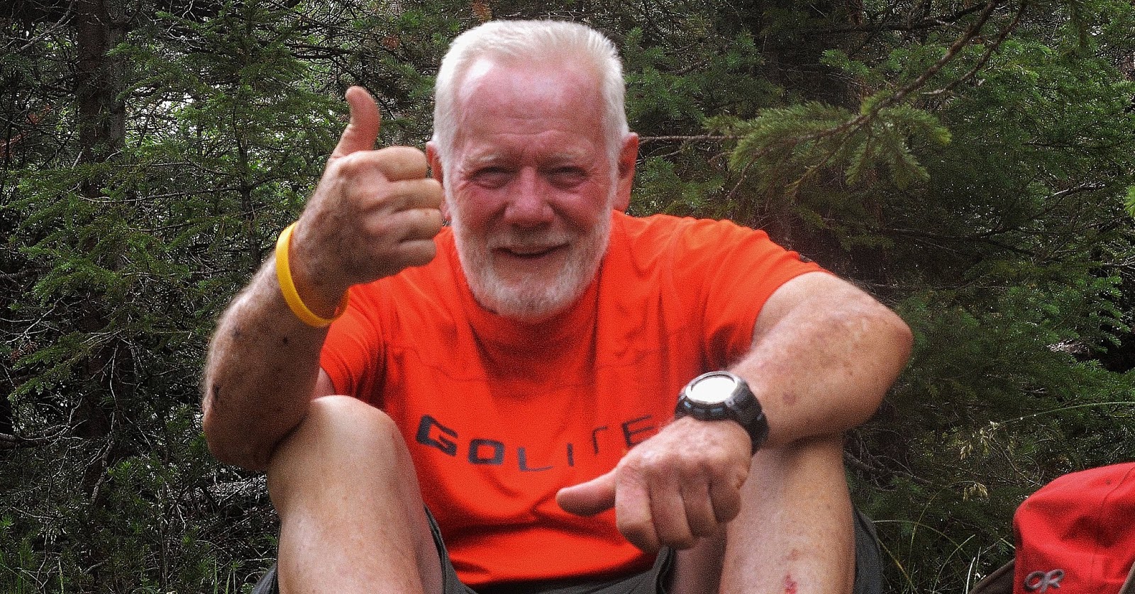
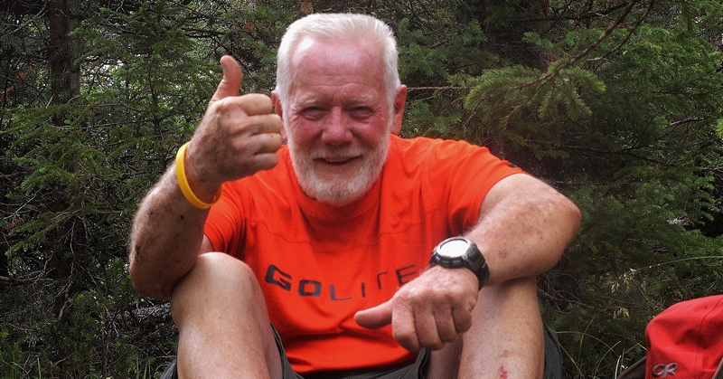
I’ve been known to be stubborn…….
and admit being OLD & HALF WORN OUT……
BUT INSIST I’M NOT STUPID–with the half of me that still works pretty good capable of more than you could imagine!

But being in my 83rd year, and the 16th of my HIGH UINTAS WILDERNESS PROJECT, is reason to be cautious….but it got complicated this past winter with 3 months lost in my conditioning with a bad case of BRONCHITIS….with remnants still hanging around, and a reduction in my pulmonary capacity.
My heart passed the STRESS-TREADMILL ordeal with flying colors, but with
the problems I’ve had in recent years with
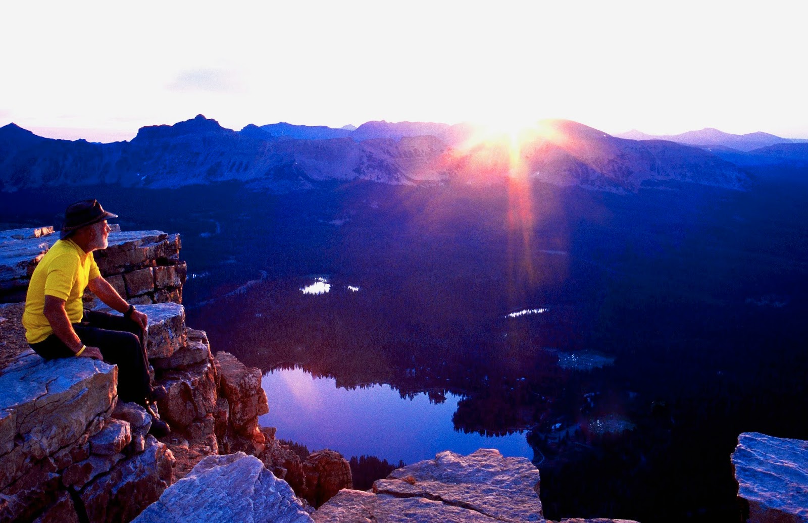
HIGH ALTITUDE SICKNESS……need to be careful.
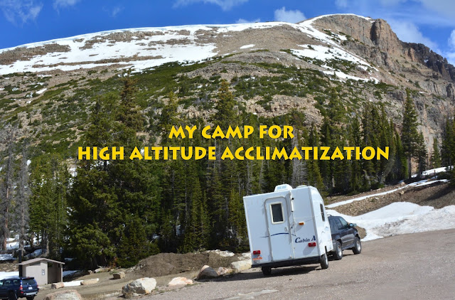
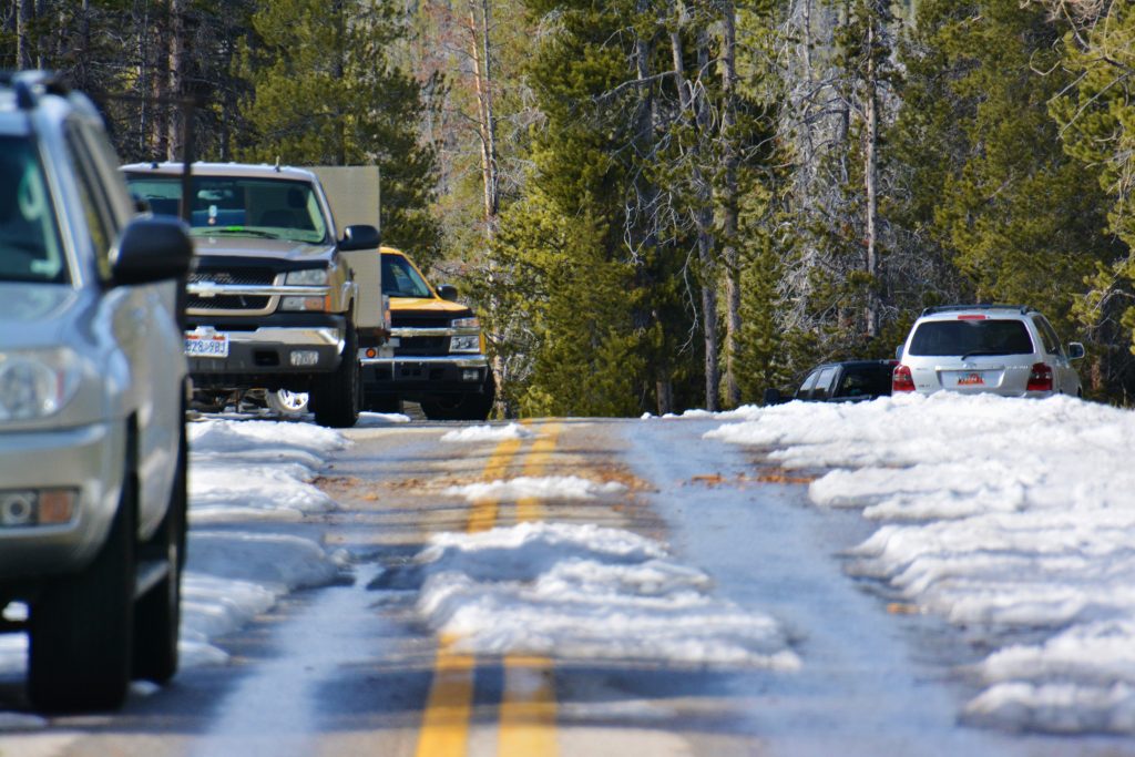
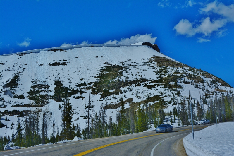
So this week I will be checking out just how much I can accomplish by spending half of the week of June 4th in the BALD MOUNTAIN PASS area in my trailer you see above in the parking lot.
I’ll be doing the following hourly:

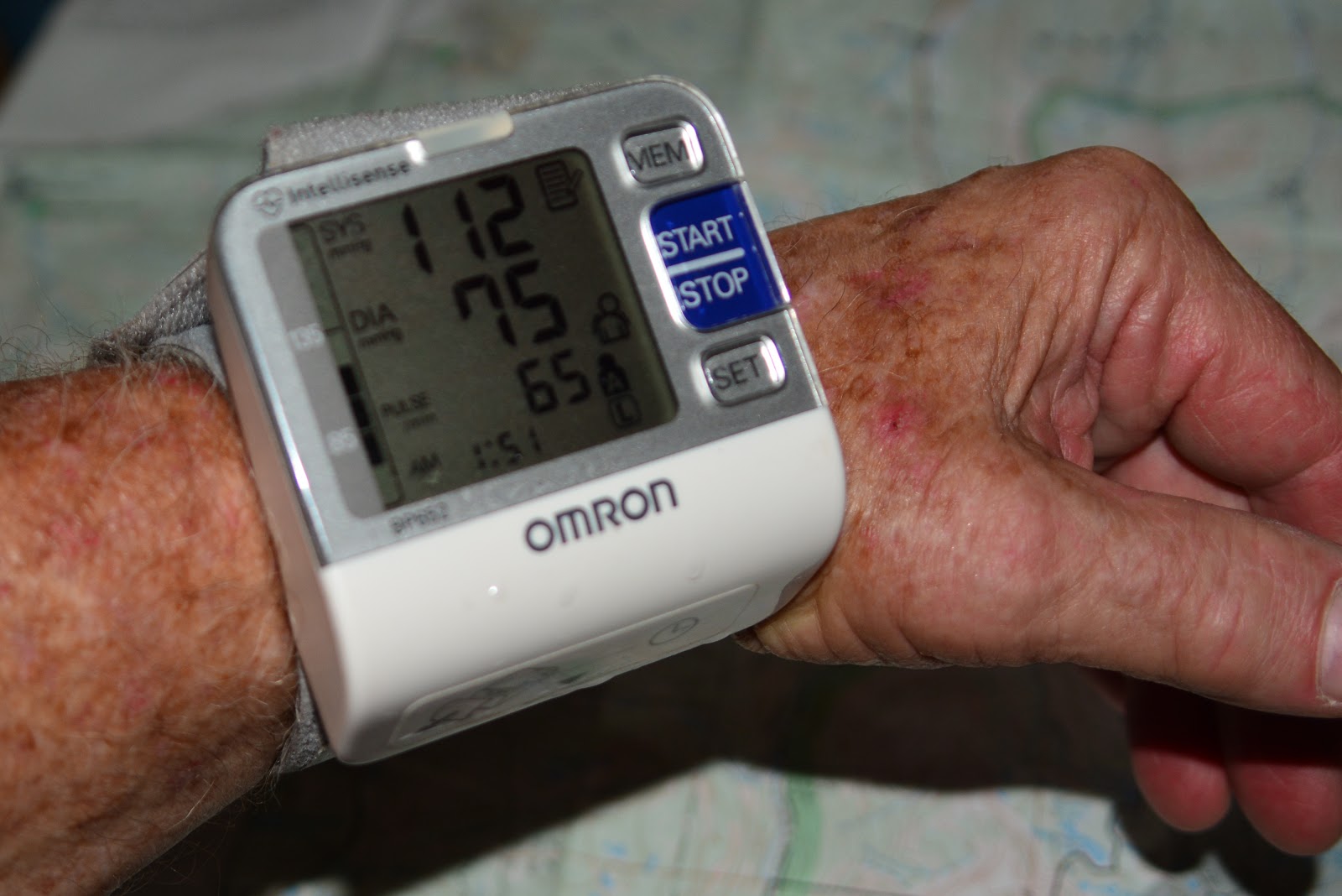
Checking frequently my BLOOD PRESSURE & PULSE
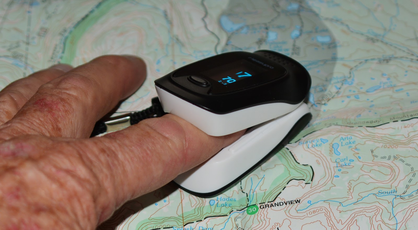
And…most importantly checking the oxygen level in my blood with my oximeter that now goes everywhere with me in the High Country.

The count should be 90 or above. If it dips, I rest a bit until my body normalizes. If it gets low and won’t normalize that could bring on High altitude Sickness, the only solution is
GO DOWN TO A LOWER ELEVATION.
SURVIVAL IN THE HIGH COUNTRY…the 1st RULE:
Let people know specifically where you’re going
Monday, June 4th: Drive to Bald Mountain Trailhead parking lot, check vitals, then CLIMB MT. BALDY, 11,943 ft. checking at every rest stop my vitals–especially focusing on how my reduced pulmonary capacity responds to high altitude.


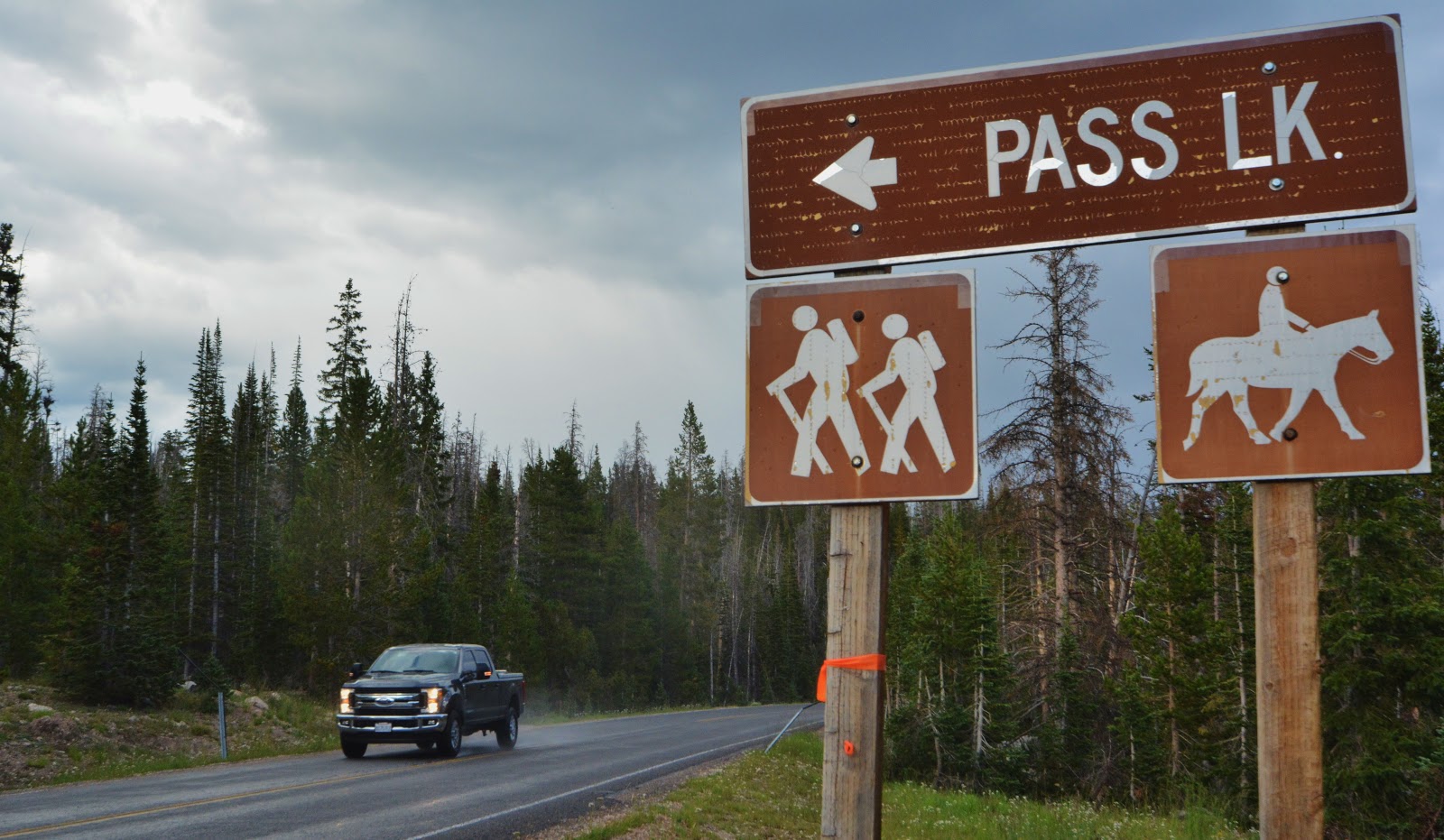
Tuesday, & Wednesday – June 5th & 6th: If all went well with the climb, do a little backpacking from the Pass Lake Trailhead, hiking .5 miles to Scout Lake (10,387 ft.), then about another mile to Lofty Lake (10,888 ft.), and spending the night trying out a new system to reduce load–using my new Bivy Sack, that I’ll report on in a week with photos.
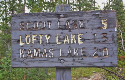
From Lofty Lake, I will drop down to Kamas Lake and return to the Trailhead by Wednesday afternoon having done 4 miles of backpacking.
I will return to civilization Wednesday to see the 3rd NBA Finals game, and evaluate the results of being at medium altitude and then plan accordingly the rest of the backpacking season.
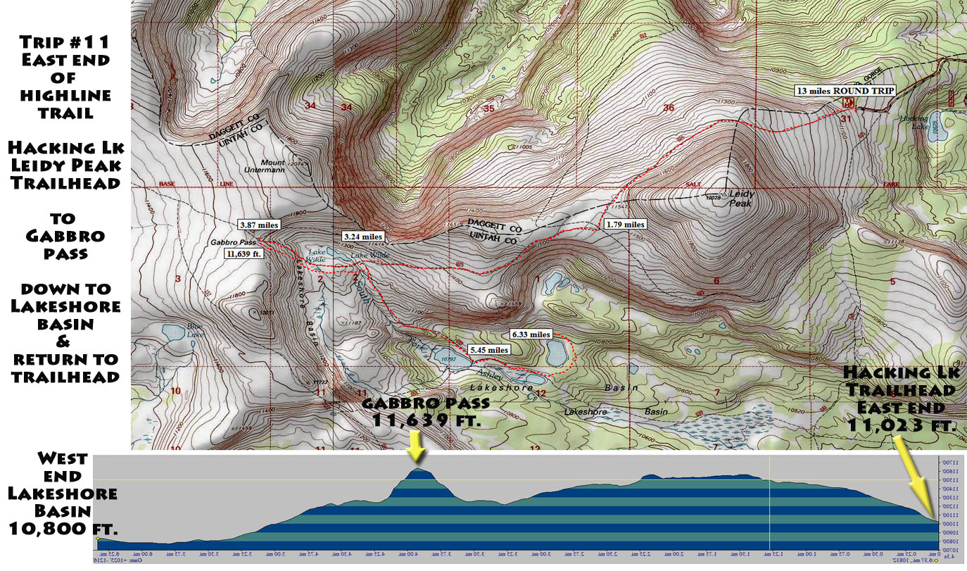
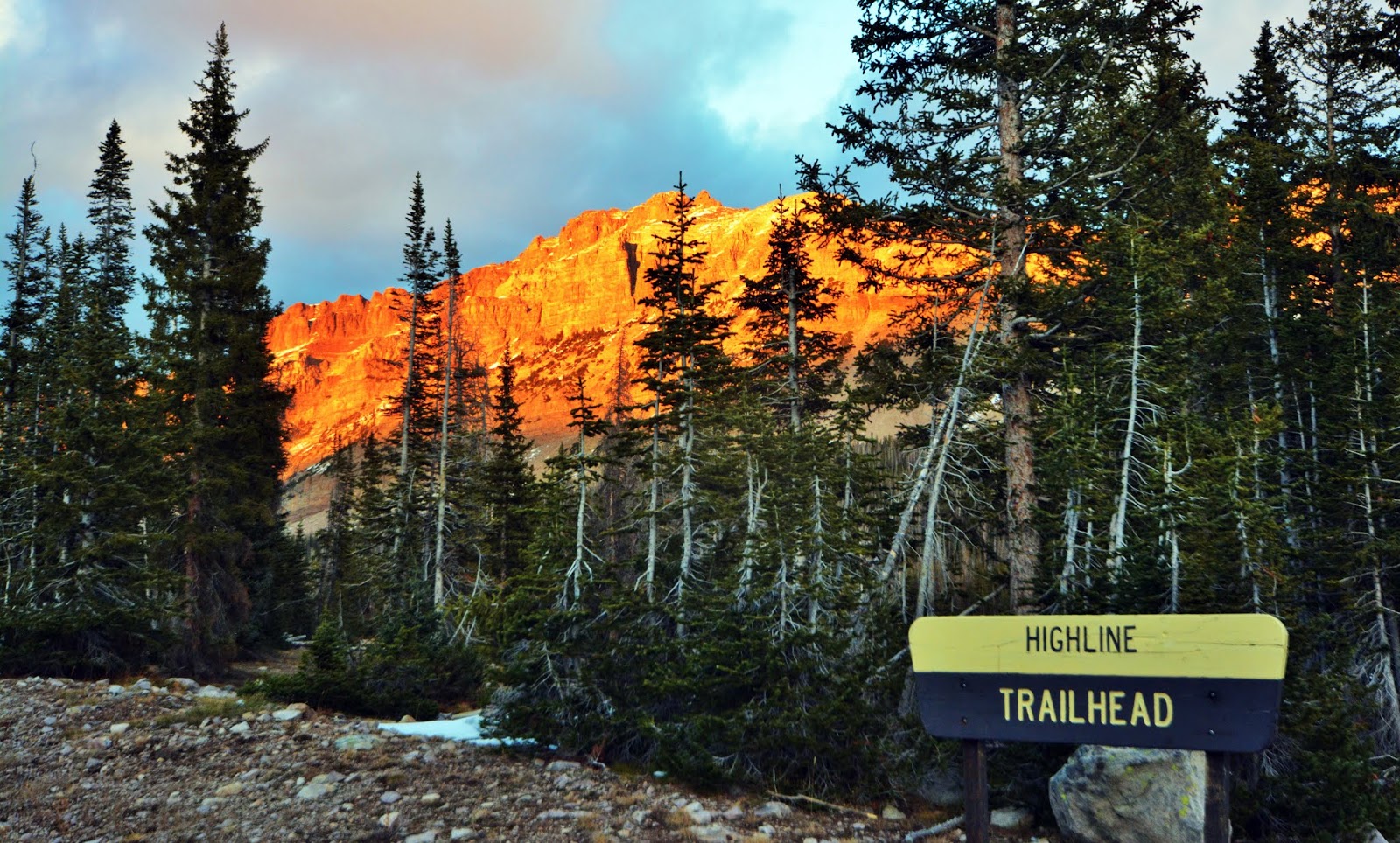
If it seems reasonable, smart and enjoyable, I will do two more backpacks in June: To Hell’s Hole & then to much higher Naturalist Basin.……then evaluate what might be wise for July, all with the hope of in August doing the entire HIGHLINE TRAIL from Hayden Pass to near Flaming Gorge.


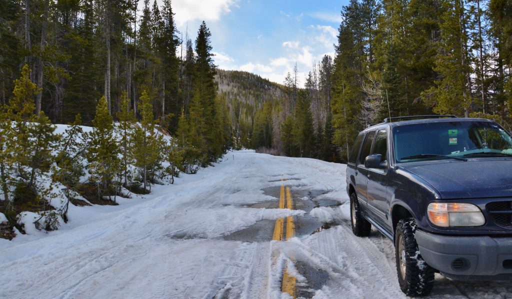
 Wolf Creek Pass and the “Gateway to the Grandaddies” at the Grandview Trailhead are both at approximately the same elevation, which sort of indicates what the snow depth would be at the Trailhead.
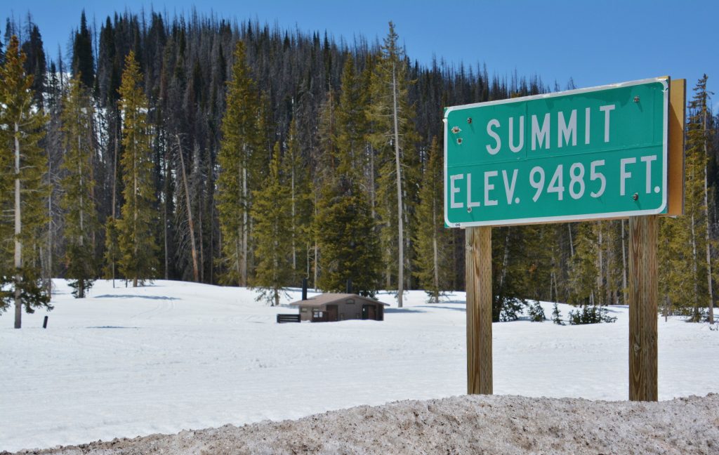
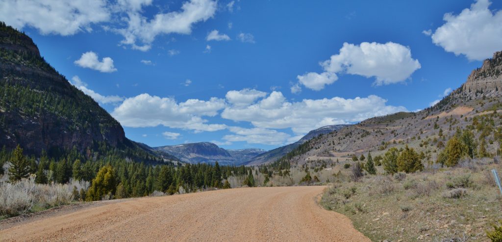
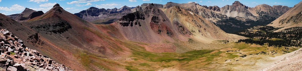
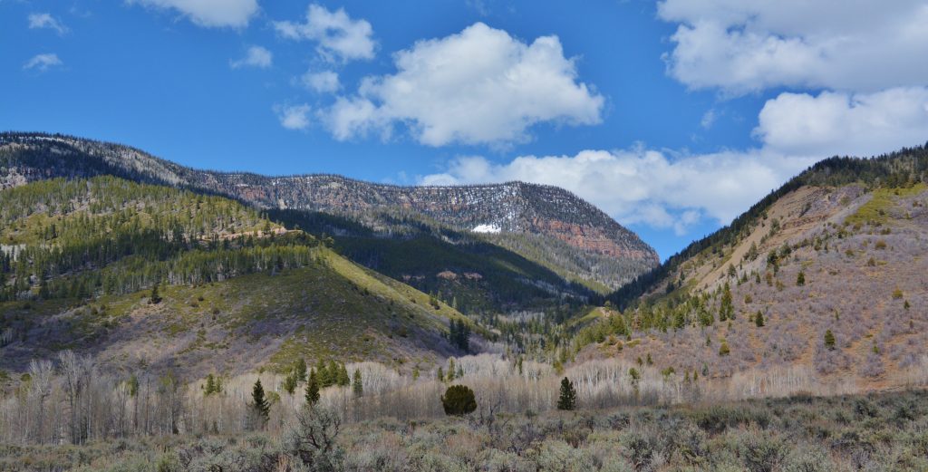 Above we are looking up at Hades Canyon. The road to the GRANDVIEW TRAILHEAD is still closed. A Forest Service worker 10 days ago drove the road and got to the Splash Dam, but with 3 large trees across the road, plus some rock slides. They will work at getting that cleared up, but at Splash Dam there is still too much snow, so it will be a while before the road will be open to the Trailhead. As soon as there is further developments, I’ll let all know.