The TIE HACK GHOSTS of the MILL CREEK SPLASH DAM and the McKENZIE CREEK COMPOUNDS
INTRODUCTORY NOTE: For this report I will combine my exploration on Trip #7, and my Trip #8 into one description of these areas on the High Uintas North Slope.
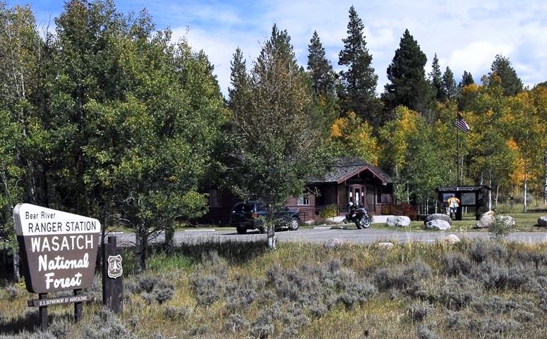
For this exploration we drove to Kamas and drove up the Mirror Lake Scenic Byway over 10,759 ft. Bald Mt. Pass and then headed north down to the Bear River Ranger Station. I wanted to talk to Ranger Asay whose husband, Ranger Bernard Asay, is quite an expert having worked for the Forest Service for many years.
I talked to Ranger Asay, and she called her husband, they both giving me some good leads for my explorations and research–that during the winter will have me spend some time in Evanston, Wyoming at the Public Library, the Forest Service, and at the Union Pacific Railroad.
HONESTY IN ACTION
While I was talking to Ranger Asay two young muzzle loading deer hunters came in with a worried look on their faces. They felt the need to report that while trying to shoot a two point buck their bullet went by the buck and killed a fawn.
They felt the need of reporting the “accident” and had the fawn out in their pickup to turn over to the DWR. They were being incredibly honest and responsible–for which I congratulate them if by any chance they read this. Ranger Asay wasn’t able to get anyone from DWR on the phone so sent them on their way.
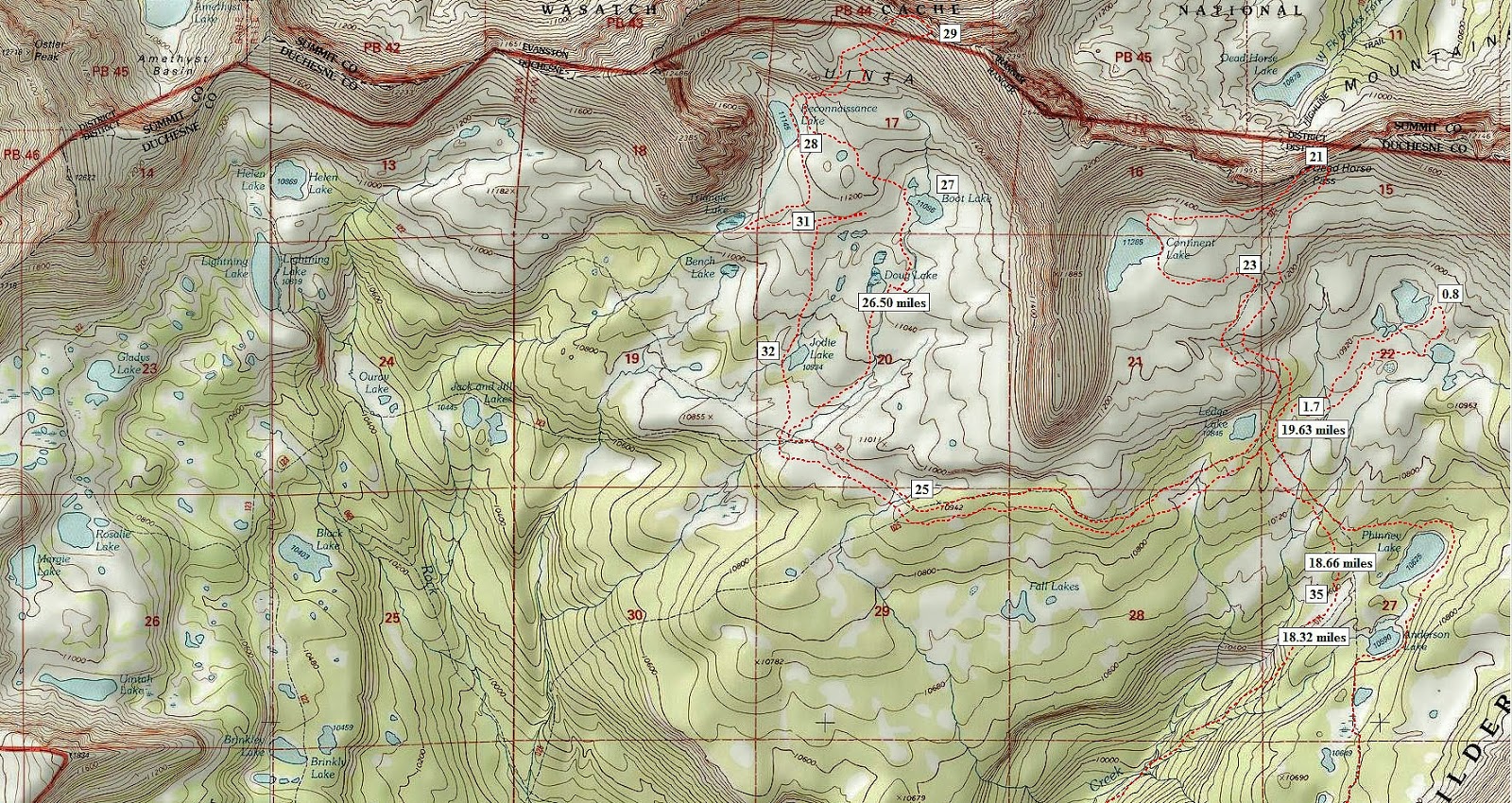
Here on the SPOT Tracker Google Earth view we see on the left the area of the last report on the Mill City Ghost town hoax, then the Mirror Lake Scenic Byway (150) crossing the area, and the North Slope Road that winds east to the two target areas.
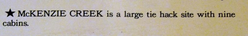
We headed for the North Slope Road a few miles north of the Ranger Station and then heads east. We were first after the Mill Creek splash dam and commissary, and thereafter further east to the McKenzie Creek tie hacker compound. Mill creek is not to be confused with the Mill City Creek.
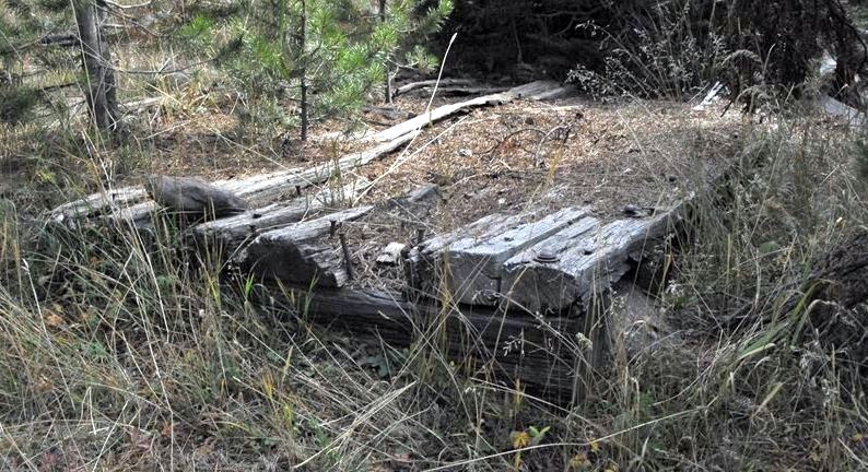
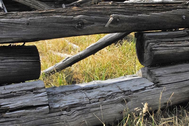
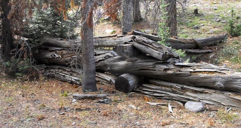
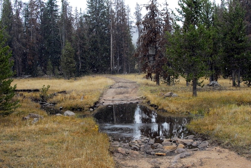
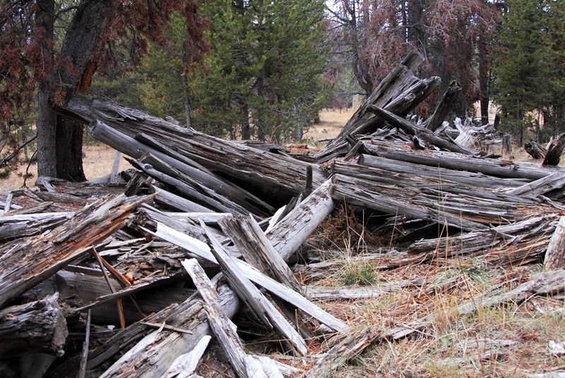
We have driven 6.3 miles east from Hwy. 150, and get our first photo from the road.
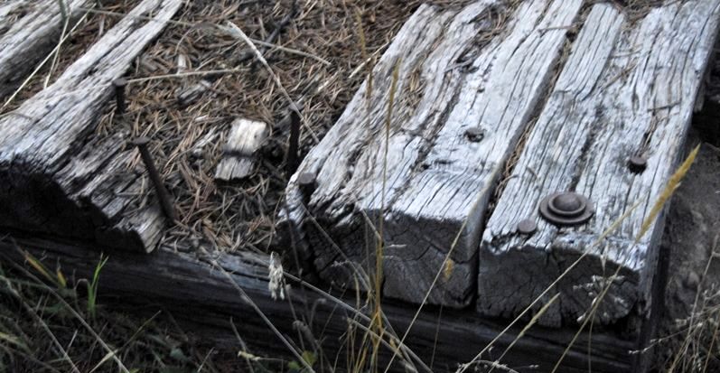
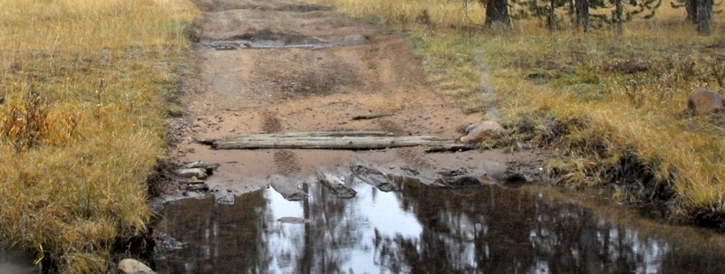
The log structure you see to the right is a remnant of the splash dam. Close-up views are seen below.
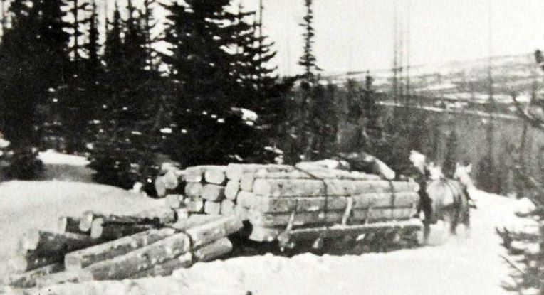
Further up Mill Creek there used to be a remnant of another splash dam where the canyon narrows, but it was destroyed in a forest fire as happened in other places with some tie hacker sites. Basically the splash dam was as you see below in an old photograph where we see the railroad ties accumulated in the dam pond waiting for the dam to be blown with dynamite to move the ties downstream in the flood.
This site is from the 1912-1935 period. These log drives continued up into the 1930’s, but then began being replaced by truck transportation. The last log drive of the tie hacks was in the Wind River area in 1946.
Below is an old photograph of the Commissary. No ruins of this building remain.
All of the old photographs I have were taken at the reconstructed tie hacker cabins at the Bear River and Mt. View Ranger Stations, with glass sometimes causing bad glare, and sometimes from bad angles due to cramped space. Most of them, and hopefully others, are had at the Utah Historical Society and I plan on getting there good quality copies which I’ll use when I finally come out with my final and complete report on the tie hackers–likely in a book.
Below you see the area of this trip along the North Slope Road, the McKenzie Creek area about 3 miles further east from Mill Creek.
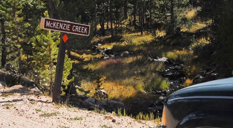
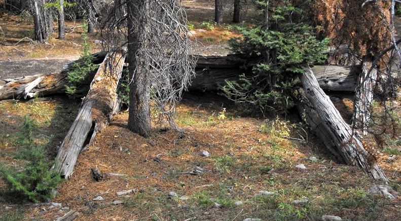
Here’s a good view of the North Slope Road and the incessant plague in the area. We are at McKenzie Creek.
On the first trip we past the creek and actually missed the right turn-off road that is just past crossing the creek, and went up around a bend and took another road and when the road got too rough continued on foot into an area not known or mentioned in any of the scant tie hacker reports. It might end up being good fortune.
As we hiked up the faint road I told Lito to watch for any kind of structure that wasn’t natural. He soon said, “Dad, do you mean like this?”
Can you guess what this was?
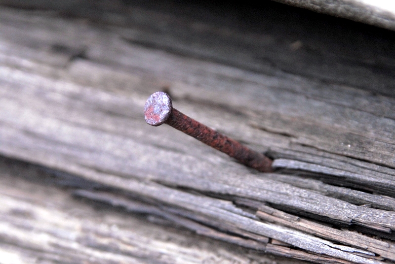
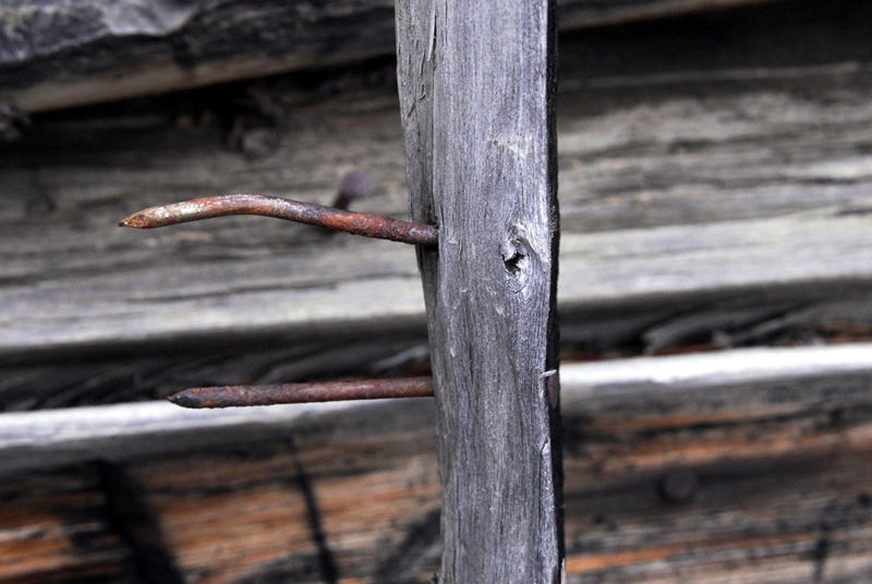
As explained in my previous report concerning nails, these round nails would place this artifact in the 2nd tie hacker period from 1912 to about 1935. Square nails, as used to construct the Hilliard Flume, would place a site in the early period from 1867-1880 even up to 1910 when wire (round) nails began being produced.
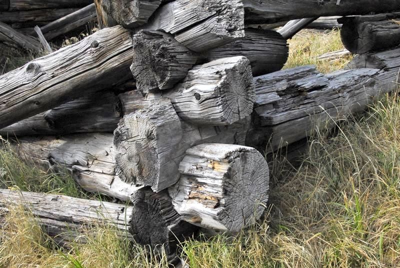
Might it be the bed of a sled used by the tie hackers to transport their wood products over the snow as seen below? What do you think?
Further up the road an even fainter roadway took off to the left and I could see up ahead a possible ruin.
The door seemed too wide for a living cabin.
Another wire nail…..
……..and a window. Both place this ruin in the 1912-35 period. Early tie hack cabins from 1867 didn’t have windows. This window was low indicating the cabin likely used for animals only needing a little light, and ventilation.
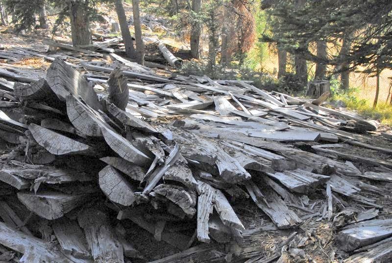
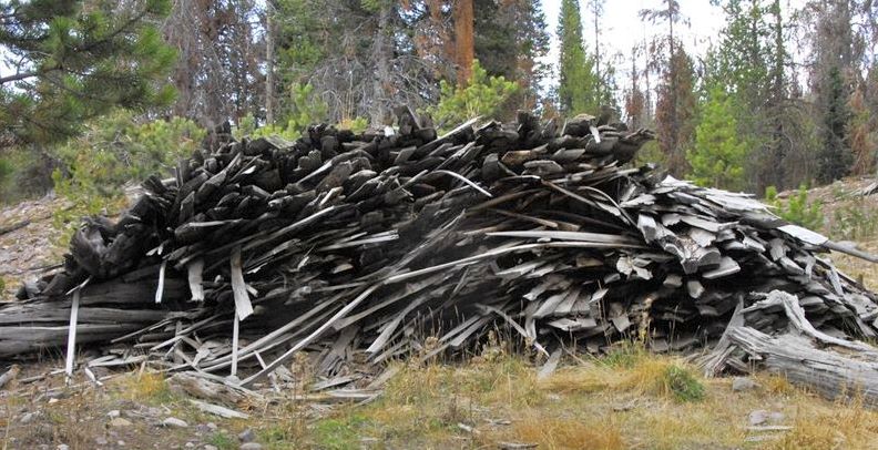
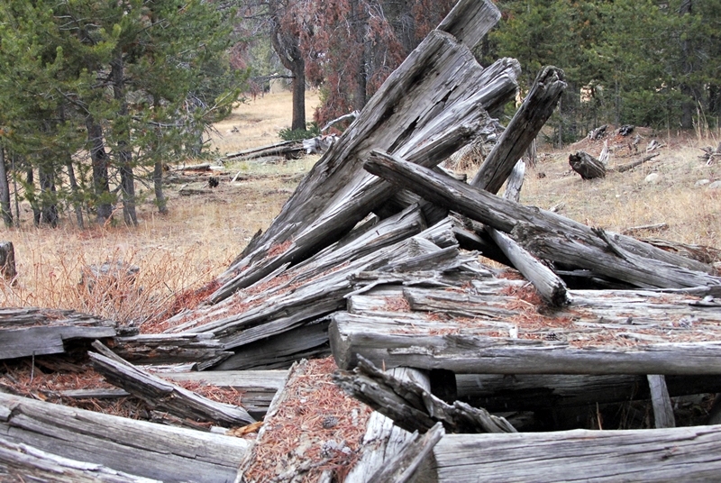
Nearby was a pile of saw mill slabs from the sides of the logs. In the 30’s portable sawmills came into use powered by the power take-off of tractors.
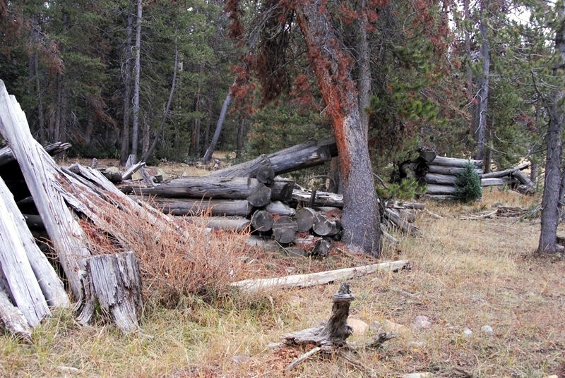
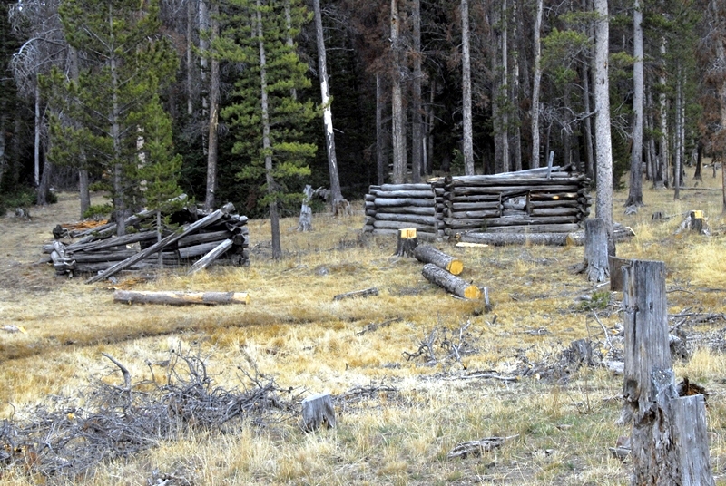
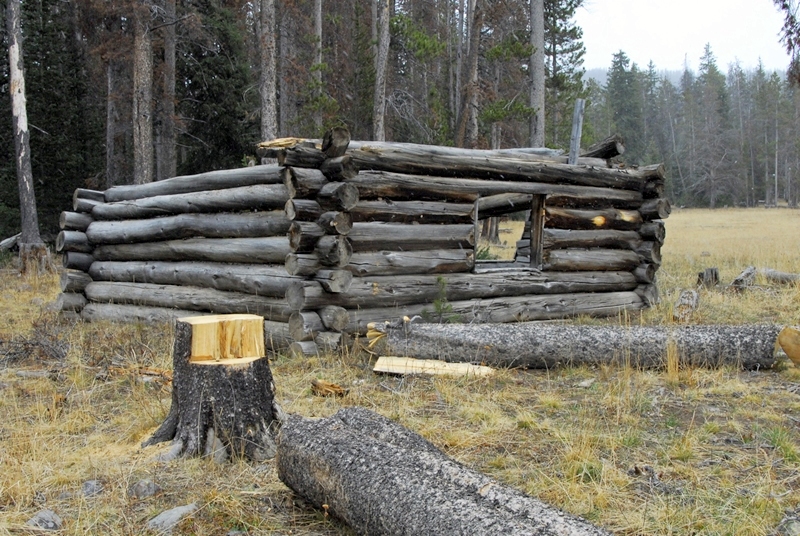
A ways up the faint roadway we found one of the best preserved cabins I’ve seen in the Uintas.
Galvanized wire nails were used in this cabin……
……and the interior face of the logs was trimmed flat, both from the 1912-35 period.
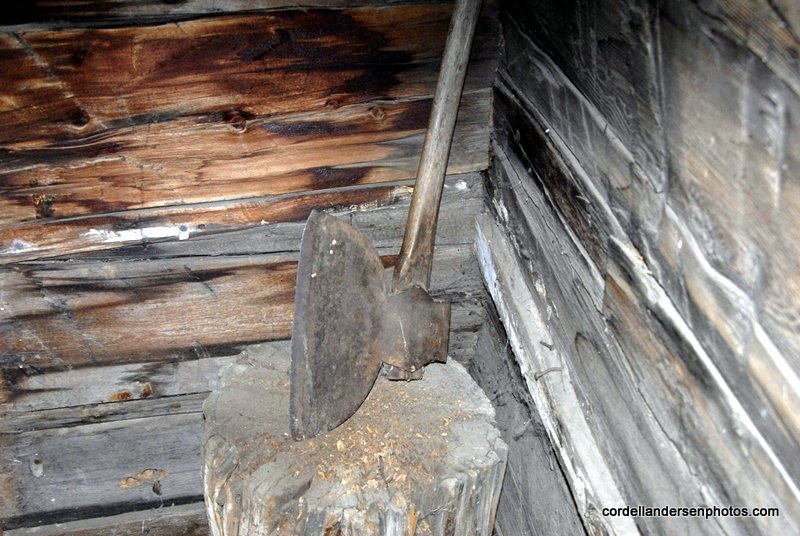
Neither was there any evidence of a fireplace –characteristic of the early period. Cabins from the late period usually had wood burning stoves.
Outside we found this piece of equipment. We tried to turn it over to be able to recognize what it was, but it was immovable with portions buried deep. What might it be?
In front of the cabin there was a large scrap pile. Apparently this was another site for a portable sawmill.
We continued to follow the roadway swinging north.
We found another man-made structure right along the roadway. I walked around to the upper side.
It seemed clear that this was a loading platform, similar to the ones I had found along the Hilliard Flume pathway from the flume era–1873-80.
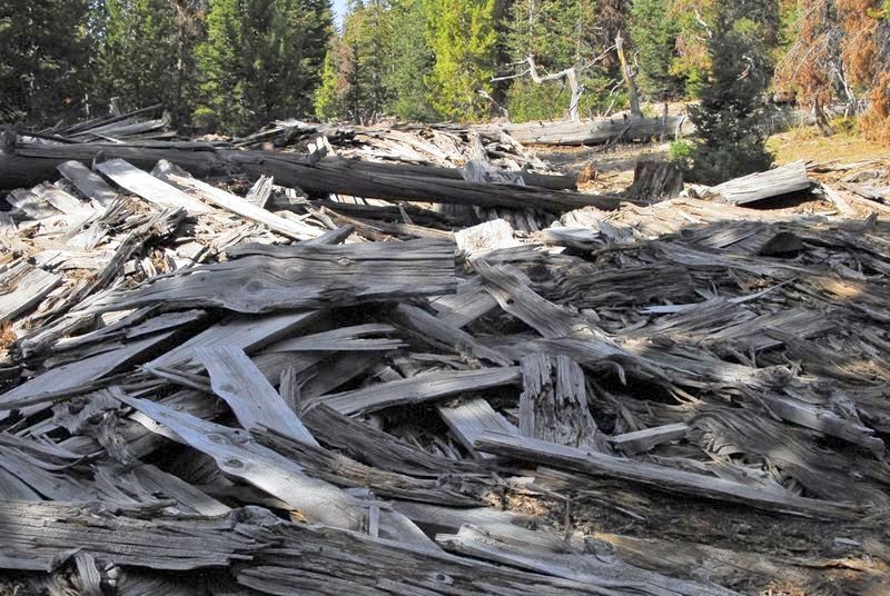
We kept hiking up the roadway, and soon found another portable sawmill site with a very large scrap pile of slabs.
On the far side there was a sea of sawdust.
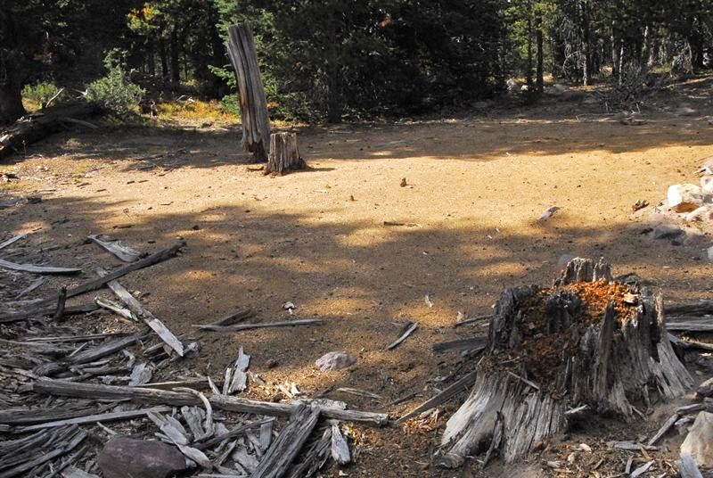
We hiked on for a while but found nothing and then came to an end of the road.
We headed back, exploring from 50-100 yards off to the side the roadway, and often found artifacts such as the piece of cable, and the half oil drum, etc. all from the modern period. You might say, “It’s all just junk!” You would be right, but for an archaeologist it’s the “junk” left by a culture that dates the period and helps them piece together some understanding of the people being studied.
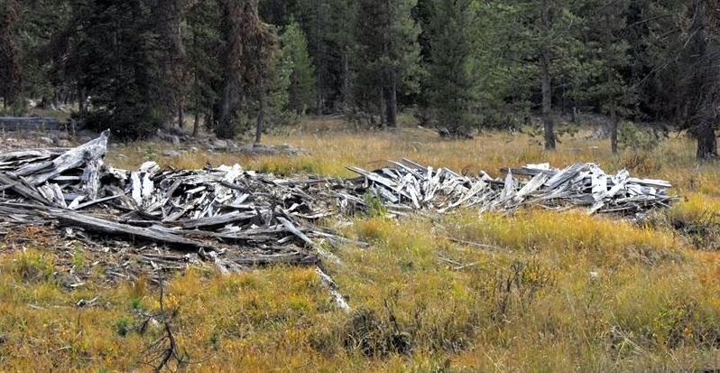
With no apparent or visible roadway we found one more scrap pile. Likely such are scattered all over, but not mentioned in any of the studies I have seen on the Tie Hackers, except in the book, BROADAX ARTISTS. Therein it is explained that in this closing period of the Tie Hacks, even with the portable sawmills, and trucks for transportation, a few of the old tie hacks persisted in forming railroad ties with their broad axes.
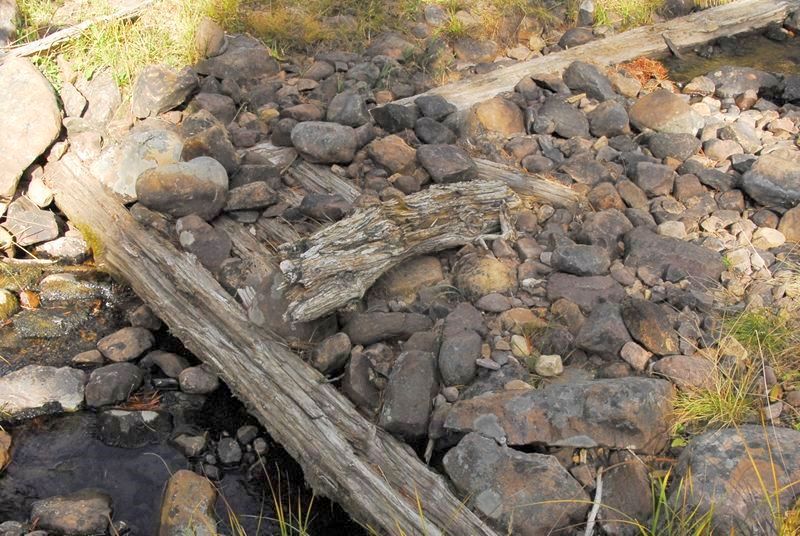
We continued our hike back to the car, testing one side road and noticing at a creek crossing a log structure.
I moved a few rocks to see more clearly the structure.
We continued on to the car feeling quite satisfied with what we had learned and discovered in just one day. Along the way I photographed what seemed to be the last flowers of the season–little tiny ones as you see from my 2 inch long Leatherman Squirt.
Below you see to the right the area of portable sawmills we explored. To the lower left is the area we missed which I’ll have to get to as soon as I can as that is the area described as the McKenzie Creek Compound.
The search will go on, but…….for now the High Uintas Project season likely ends here for 2010–except perhaps for a weekend deer hunt, weather permitting when I’ll do my best to get to this McKenzie Creek Compound site to complete my explorations. Well, on October 22nd, the day before the Deer Hunt, I completed this exploration as described below:
It was an exhilarating drive up into the Uintas with the incredibly beautiful autumn colors.
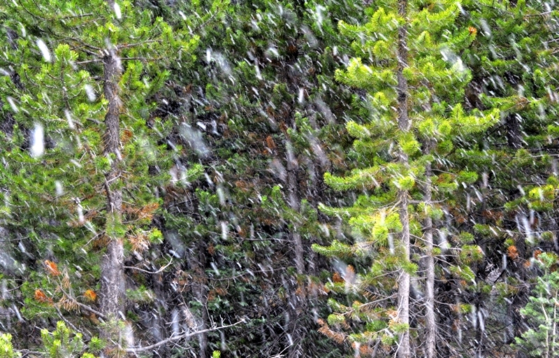
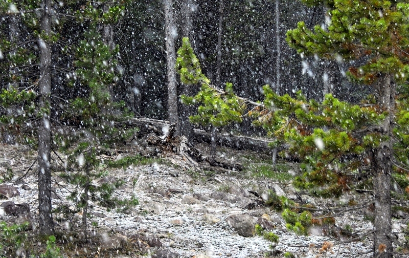
Snow was in the air by the time I got to the right road, just past the McKenzie Creek sign, and came to the creek crossing.
On the far side of the crossing could be seen a wood structure from the tie hacker period as found on the previous trip on another creek.
The creek was beginning to freeze. A short distance up the road I came to the Compound.
Some of the ruins were very deteriorated as seen here.
To understand what this was I had to go around to the other side.
We are seeing here the ridge pole (log), with the roof slabs piled on both sides.
Round wire nails help us pin this site down to the 1912-1935 tie hacker period.
There were a couple of better preserved cabins. As you can see the logging operations very visible in the High Uintas this year are also seen here in the McKenzie Creek area.
Then winter came and I decided to move out and get back up over Bald Mt. Pass before it got snowed in.
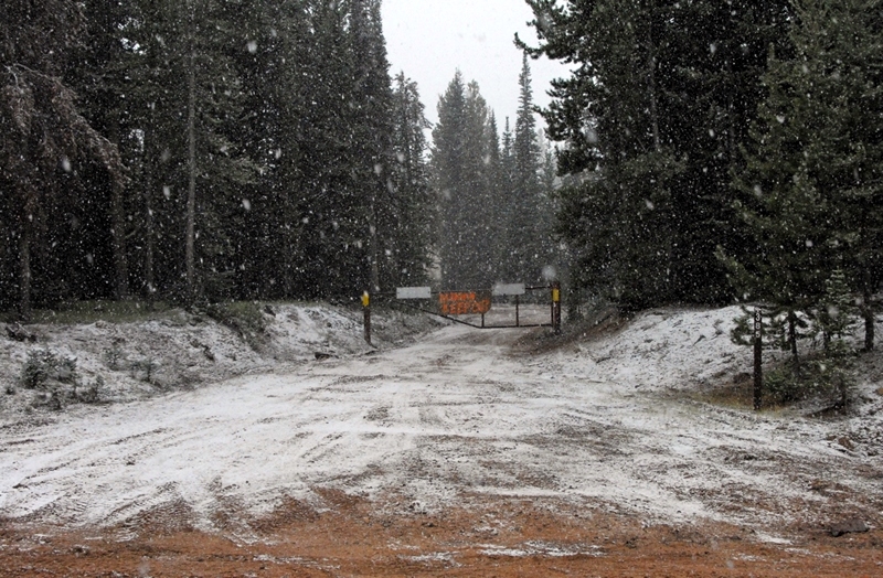
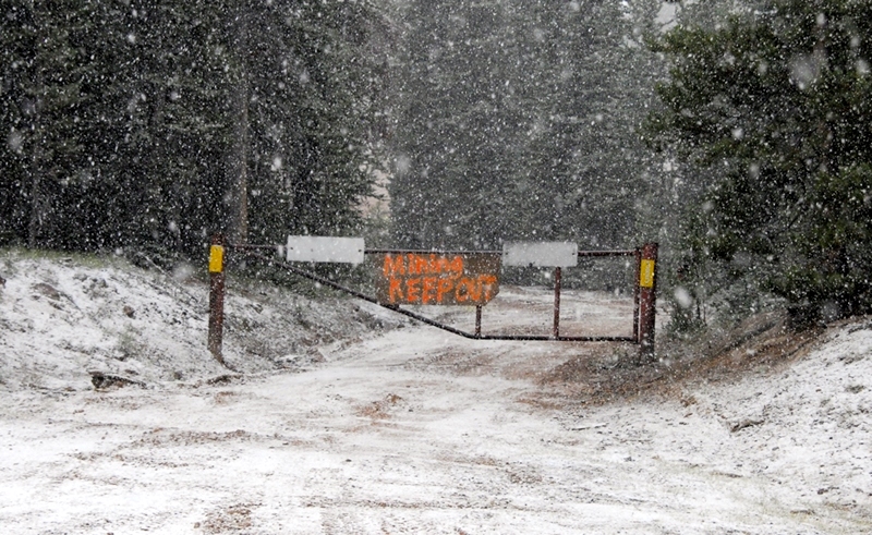
After you come out of the tie hacker road and head west past the Creek crossing you come to this gated road.
This is a mining operation on private land.
Soon I was up to Bald Mountain Pass and photographed a sign that somehow I have missed.
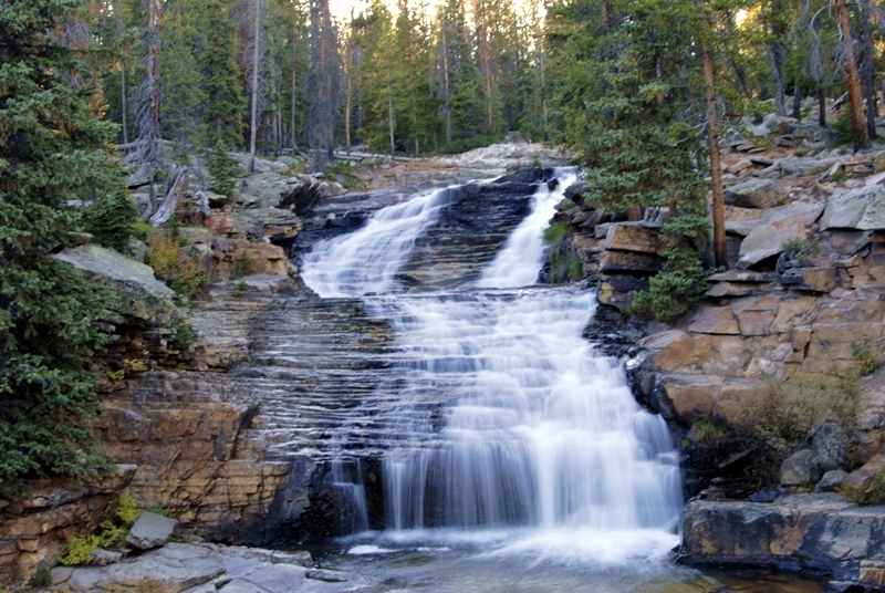
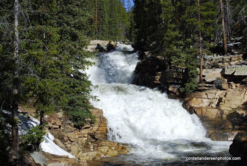
Down the road a bit I pulled in to see for the last time the Provo River Falls with the smallest stream of water I’ve ever seen.
Below are views, first from a month or so earlier, and then the last from a first trip up the Mirror Lake Scenic Byway.
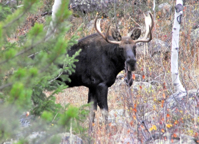
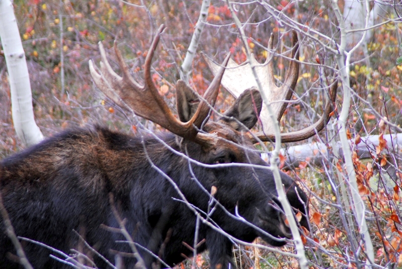
As I dropped down into lower country I was scouting for a spot for deer hunting the next day, but I found one big dude of an animal and stalked so close I could hear him breathing.
In fact if I could of had a license to bag a moose, I could have jumped on his back Tarzan style and brought him down with my deer knife!
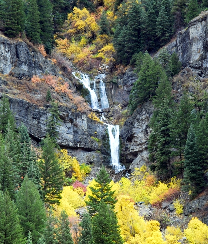
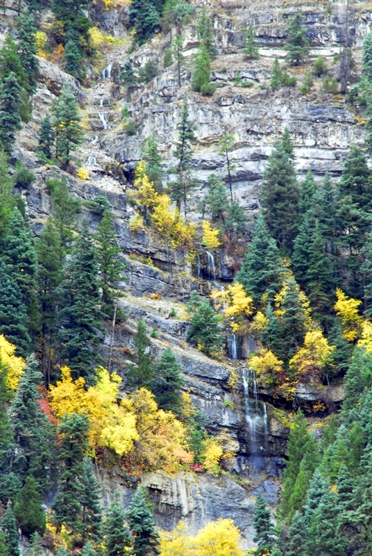
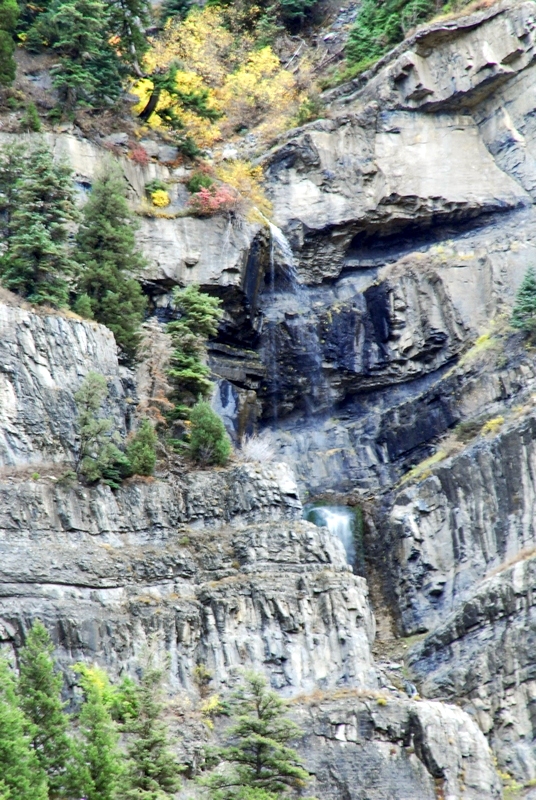
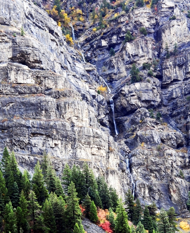
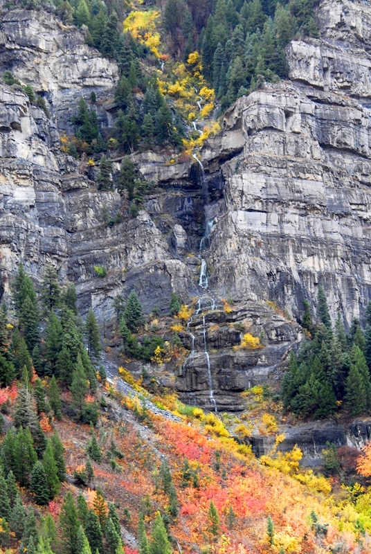
The next afternoon I was on my way back to Springville and couldn’t resist stopping a few times to enjoy majestic Provo Canyon, and its lesser known and noticed water falls.
During the winter and I’ll also do quite a bit of research and writing and see if I can’t get all this effort put together in a package worthy of our Tie Hacker Heroes, without which there would have been no transcontinental railroad. What effect might this have had on the “WINNING OF THE WEST?”
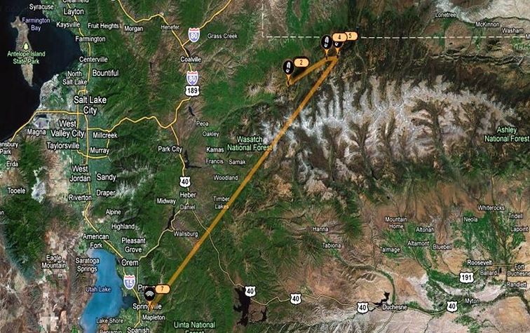
If there are any of you new to the High UIntas, you can see their location in this Google Earth view showing where these wonderful mountains are in relation to Salt Lake City, and the Wasatch Front. You see marked with my SPOT Tracker the area of this report: Icons 2,4 and 5, and back to my home in Springville at icon 7.
Somewhere mixed into my two jobs, running the Foundation for Indian Development (http://www.fidproject.org/) , and taking care of my family, I’ll be working on:
1. A SUMMARY REPORT OF MY 2010 EXPLORATIONS.
2. Adding to the GALLERIES section the best of 2010 to: MOUNTAINSCAPES (in large format), a whole bunch of additions to the WILDFLOWER albums likely pushing the total to around 250 varieties, etc.
3. An ANALYSIS and CRITIQUE of GEAR recommended and tested,
and, of critical importance:
4. , DO MY RECOMMENDED SUPPLEMENTS REALLY WORK? CAN THEY KEEP YOU GOING EVEN AT 75?
5. Likely during the long winter I’ll think of a few other items and let you know.
LET ME KNOW YOUR THOUGHTS ABOUT ALL OF THIS. I’LL APPRECIATE HEARING FROM YOU.


