THE BEAVER CREEK DRAINAGE and UTAH’S 3rd HIGHEST PEAK
A Lessor Known drainage of the High Uintas Wilderness
INTRODUCTION: As always I will take you with me on this trip, showing you my exact route to enable you to go there too, and give you a taste of the journey to the Trailhead, and then up into the Wilderness. If you desire seeing more of what I experienced and photographed, you can go to my Picasa Web album, but the text will only be here in this article. In the album click on the first photo and then one by one, or click on “slide show.”
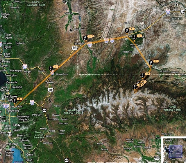
I will begin my report showing the Uinta Mountain Range and the route I took to get to the northeastern Beaver Creek Drainage. The Division of Wildlife Resources describes the area as “remote” with most of its lakes “seldom visited” and a good area for those seeking “solitude.” As I would be going into such an area alone I began my SPOT Tracker route (#1) in Salt Lake City at the home of Russ Smith and SKYCALL COMMUNICATIONS where Russ provided me with a satellite phone.
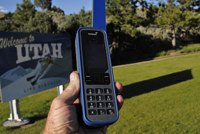
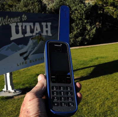
This is the new satellite phone Russ provided me with to use to call KSL OUTDOORS RADIO on Saturday morning, and for use in case of any emergency.
LET’S GET GOING!
As you can see from the Google map I traveled up I-80 thru Evanston, Wyoming and on to Ft. Bridger and thru Mt. View (116 miles from SLC) where you can gas up at the Maverick and get whatever you might have forgotten at the supermarket. From there you can head south towards Robertson and hit the turnoff towards the Henry’s Fork Trailhead and from there east on the North Slope Road, but I took the route with the most pavement–towards Lonetree and Green River.
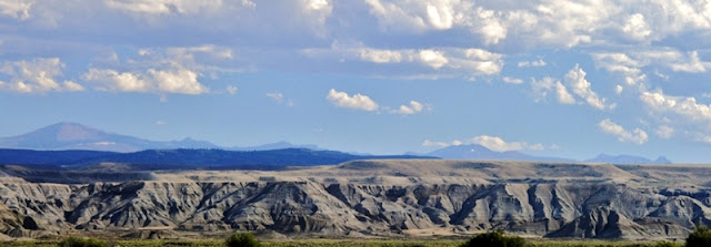
This panorama was taken between Mt. View and Lonetree looking south across Wyoming badlands towards the High Uintas. On the far right you can see (barely) Red Castle Peak and Mt. Wilson, then Mt. Powell, and to the left center Kings Peak (highest in Utah) and South Kings Peak (2nd highest), and on the far left dominant Gilbert Peak, 3rd highest in Utah at 13,442 ft.
Why head for the little known West Beaver Creek Drainage, Gilbert Lake and Peak?
In my now 1,410 miles of Uinta backpacking since 2003 I have had special experiences photographing magnificent mountains and the nearby lake of the same name. First is Kings and South Kings Peaks you see below.
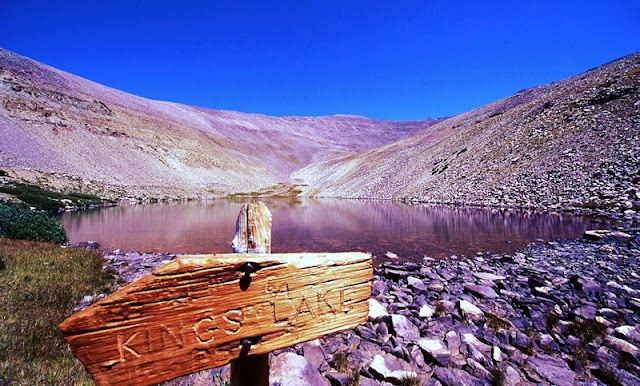
In the southern shadow of the two Kings Peaks is found rarely visited KINGS LAKE which you see below.
The sign was so weathered that only the “IN” WERE legible. I filled in the blanks with my little Leatherman Squirt tool.
Another impressive mountain, in fact the one many call “the most beautiful mountain in Utah,” Red Castle Peak, also has its lake you see below in a stunning panorama (if you want to see all the Red Castle Lakes click on this link and go forward a bunch of times).
Utah’s 3rd highest, GILBERT PEAK (13,442 ft.) also has its lake, GILBERT LAKE, and I just couldn’t rest until I got shots of the duo–so off we go to the remote Beaver Creek Drainage. Gilbert Peak is named for Grove Karl Gilbert a geologist of the Wheeler Survey of 1871-75, and the Powell Survey of 1875-1879.
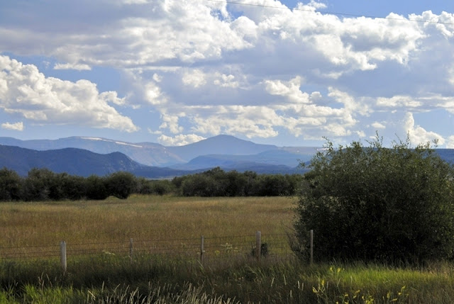
As we head south Gilbert Peak begins coming more into view.
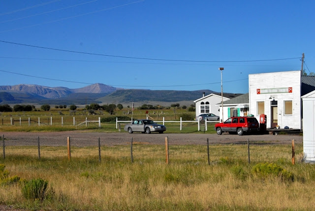
At about this point the highway crosses the Henry’s Fork River, and then you come to Lonetree.
The highway curves a bit to the east and soon you come to the turn-off going south.
As you will see this is the right path to take. On the highway a sign indicates it is 32 miles short of Green River ( and about 21 miles from Mt. View or 137 miles from SLC).
Here we are heading south towards the Uintas crossing Wyoming cattle country, but those lines of trees mark the streams coming out of the Uintas and are in Summit County, Utah–dozens and dozens of miles of streams that are rarely if ever fished. Soon I’ll be circling the Uintas with my tiny house trailer to check all of them out and get material for a new book. NOTE: By the way several of my High Uinta Friends have been pushing me for some kind of book on the High Uintas. I just need a couple of real experts and people in the field to help guide me putting it together. It will be like none other with chapters on the heroic tie hackers, the “liveliest if not the most wicked town in America–Beartown,” lost gold mines, a little known High Uinta gold rush, a life and death Uinta whiskey bootlegging operation, etc. Contact me if you can help in any way.
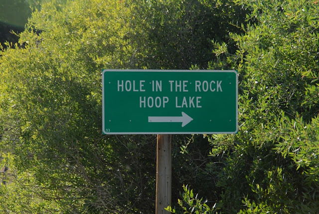
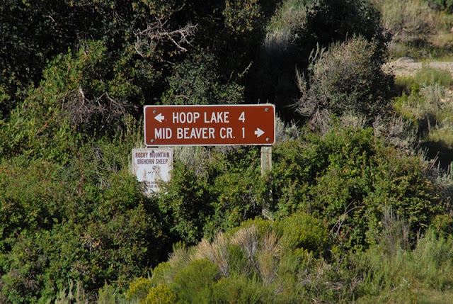
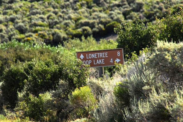
We are now getting into Beaver Creek country, with a turn-off to the left.
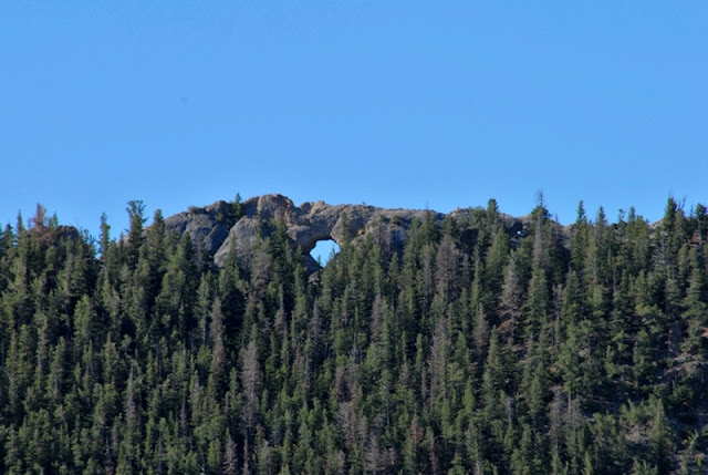
The left fork takes you to Hoop Lake and along the way you can see Hole in the Rock. This is not the famous Hole in the Rock of Butch Cassidy fame, nor the one of the Mormon pioneer saga.
At this point you have come 8 miles from Lonetree.
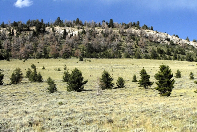
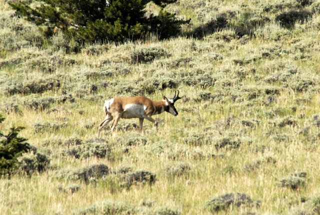
We are traveling west with Beaver Mountain to our north. Do you see the wildlife?
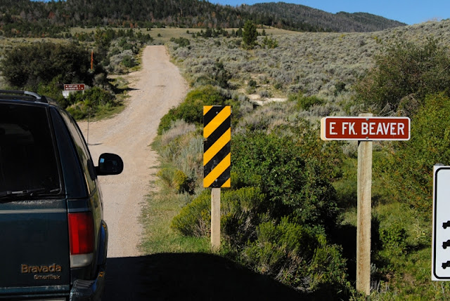
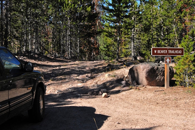
The Trailhead is a short distance from the main road. As you can see the 13-14 miles on dirt roads can easily be handled by any car. In fact below at the Trailhead you see a luxury car.
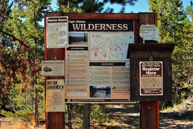
It’s a very small and simple trailhead with little use.
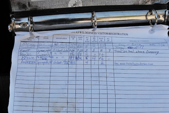
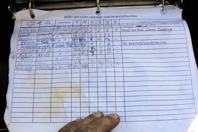
You can see in the Forest Service Register very few people have visited the area this year.
The “Brown” party above my entry was from Wisconsin. I would meet them the next day.
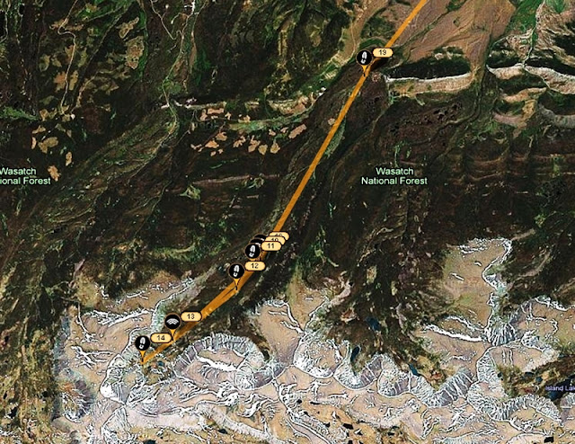
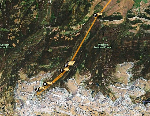
Here you see, after the fact, my route during the next 4 days. Click on Google Earth to zoom in on this area. You can’t distinguish it here, but the maps indicated that I was going to have to ford the stream at least 2 times. So this time I went prepared, with my wadding slippers.
You will note that I don’t use the big, bulky, heavy plastic ones used so commonly nowdays. I got these very light, effective slippers at REI a few years ago.
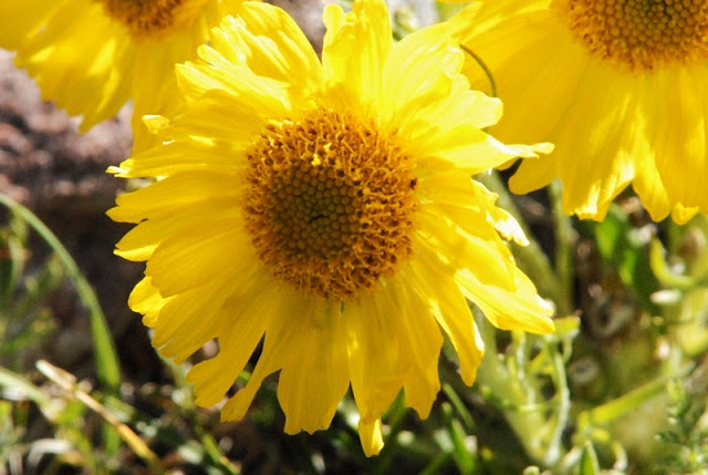
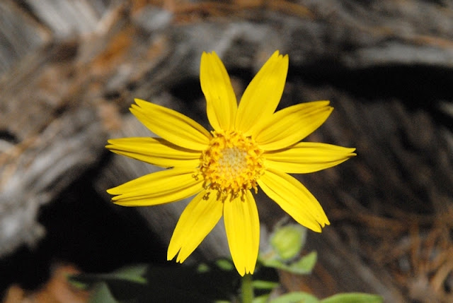
If you know me by now, you can expect me focusing a lot on the beautiful wildflowers of our foothills and mountains. This one was right at the Trailhead–Sub-alpine gumweed. I will only insert a few in this report out of the more than 40 varieties I counted in bloom on the trip. For the more complete collection go to: WEB ALBUM At the end of the season I will upgrade my two wildflower albums, likely increasing the number to over 245 varieties. For what I’ve got so far (thru 2009) go to FOOTHILLS and ALPINE
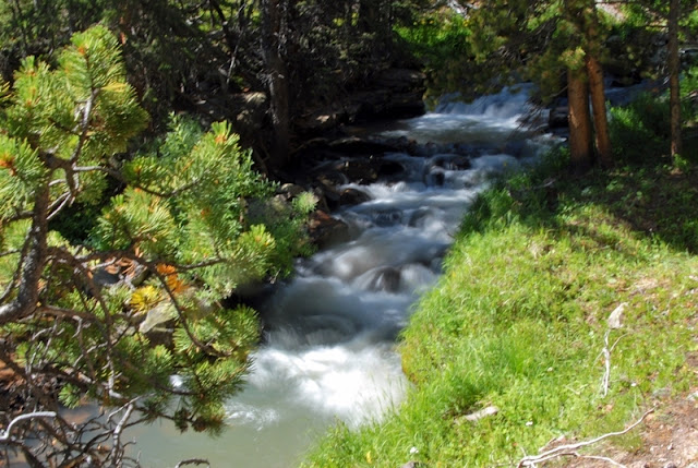
Up we go along West Beaver Creek.
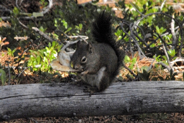
An always beautiful red squirrel eating a mushroom along the trail. As you will see I began focusing more on the many varieties of mushrooms, most of which are poisonous, so don’t fool with them–unless you are a squirrel and know what you’re doing!
Prior to getting up to the North Slope Highline Trail you cross into the Wilderness Area.
This is a far cry from the main HIGHLINE TRAIL that follows the spine of the mountain range and is used by many hundreds and even thousands of outdoor lovers each year. This Highline Trail is quite faint in many areas.
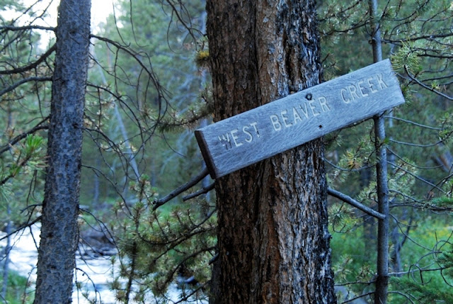
To this spot it is about 6 miles from the Trailhead, and 3.5 miles over to the Middle Beaver Creek Trail. The trail to Gilbert Lake is just down across the stream and shortly heads south up the West Beaver Canyon. Someone scratched it in for us on the above sign.
My map indicated that a couple of miles upstream the trail crossed again the stream coming back to my side, so I decided to be cute, avoid fording the stream (in the bad light) and just bushwhack up the west side of the stream. I did so for a couple of hundred yards and it was easy going–so I was convinced my decision was a good one. I camped for the night, had a good meal, and tested very successfully the new satellite phone. What you see below isn’t what I encountered prior to camping for the night. I’ll get to what you see below, but first “the night.”
At about 10:00 p.m. I was snugly in my tent with headlight on and doing some scripture reading when all of a sudden all hell broke lose outside my tent with loud voices and bodies stumbling through the forest around me. “ARE YOU ALRIGHT?” shouted a manly voice.
“Of course I’m alright, as long as you guys don’t plow into my tent!” I replied.
They asked me where the trail was and I told them it was on the other side of the stream–but thought I should have asked, “Where the trail is depends on where you’re going.” They stumbled off up the canyon but apparently stopped and camped a few hundred yards away as I kept hearing them having a rowdy time most of the night.
The next morning I was on my way and soon found my “cute” decision to bushwhack up the canyon got turned on its head and, to use the vernacular (as Paul Dunn used to say), I had one hell of a hike!
WOW! What great exercise. The fascination of nature of course helped make it bearable.
Eventually I came to a couple of nice streams that crossed broad meadows coming from the west. I assumed they came from some large marshy areas shown on the map. With each I finally was able to find some sturdy logs to inch my way across. I was now viewing the mountains that form the backbone of the Uintas. This one is Anne Peak, 12,713 ft. high–964 feet higher than Mt. Timpanogos.
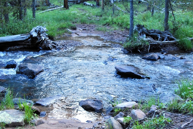
Further to the east I found the trail that quickly climbed up the canyon into the high country and there I was in full view of Gilbert Peak, with West Beaver Creek to cross. Apparently the several streams I had crossed down the canyon were the same stream that for a distance was divided.
As I was getting my wadding sandals on the backpackers from Wisconsin came visiting. They had been there for several days, deciding to camp out an hour or so down from Gilbert Lake as they said it was so windy up high that their tents would have been blown away. They had backpacked in the Wind Rivers and other alpine areas of the West but loved the High Uintas. In their exploring of the high country around the base of Gilbert Peak they had seen elk, a very large coyote (maybe a wolf?), and every afternoon observed moose feeding in shallow Gilbert Lake.
I said goodbye crossed the stream and headed towards Gilbert lake. Small wildflowers were everywhere, like the common brilliantly yellow stonecrop that seemed to be everywhere.
Most of the flowers are very smal– so tiny that many don’t notice hardly any of them. I have felt it part of my mission to focus on them, zoom in and enlarge them enough so all can appreciate them and be inspired by these incredible creations of the Lord.
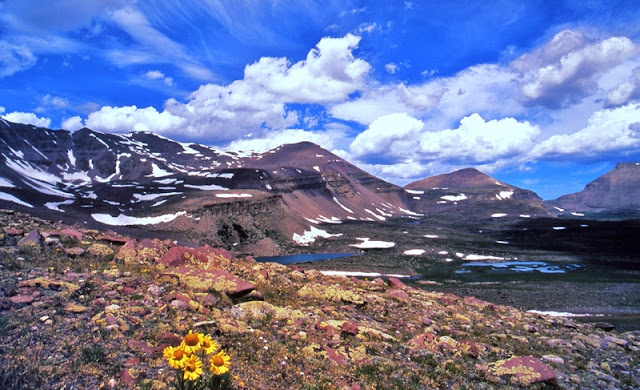
Finally I made it to Gilbert Lake in the shadow of Gilbert Peak, and put off setting up my camp as I was fascinated by the beautiful flowers, including one I have only seen once before. It is Old Man of the Mountain, most of which were in the final stages of their life.
My only other photo of this flower is seen below, on the eastern slopes of Kings Peak on the way to Trail Rider Pass.
The night before I had done as Russ Smith suggested and tried out the new satellite phone. It functions with just one satellite fixed due south over the equator. So it had to be aimed low to the south. It had worked well in my first camp, except through the side of the tent. Here at Gilbert I had to position the tent opening due south aiming for the saddle to the east of the peak. That way I would be able to make my call to KSL OUTDOORS without getting out of my bag in what was cooler than normal weather. I tried it out calling one of my kids and it worked fine, so I was ready for the Show.
At 6:00 a.m. I was awake listening to the program on my tiny Grundig radio. I finally got a strong signal and talked to Tim and Russ.
If interested you can listen to the podcast at: KSL OUTDOORS PODCAST at about the 6:43 a.m. time slot.
Tim Hughes runs the show for KSL.
Russ Smith is his partner talking to those who have his satellite phones all over the world–including a few years ago from the top of Mt. Everest.
I was soon up and on my way to make a swing around Gilbert Lake, and then up above timberline checking out the fishing in all the lakes I could get to. Gilbert Lake is extremely shallow with murky water due to wind action. With very cast I only caught moss. Even the Division of Wildlife Resources say it is only 2 feet deep, but nonetheless “offers good fishing for native and brook trout that sustain themselves by natural reproduction.” Why such a shallow lake doesn’t totally winter-kill is a mystery to me. Fly fishing would be the way to catch trout there. I headed for the upper lakes.
On the way I photographed this beautiful flower that I also have photographed on the Bald Mt. Trail, and above McPheeters Lake in Stillwater’s Middle Basin, but haven’t identified yet. If you know, send me an email. I will appreciate any help I can get.
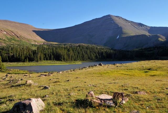
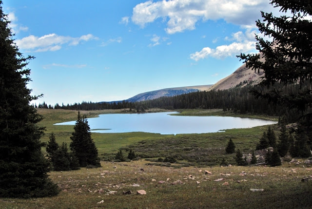
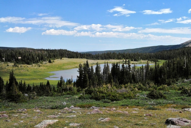
Looking back at Gilbert Lake as I climbed up towards timberline.
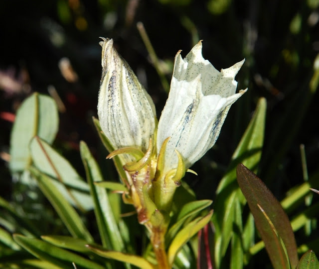
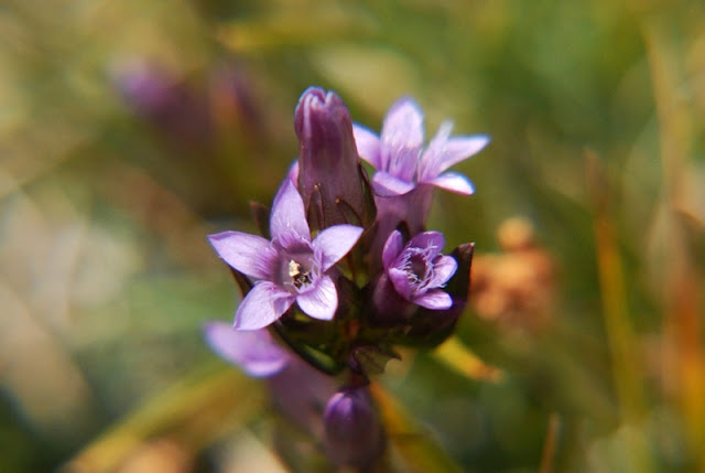
A beautiful example of Arctic Gentian.
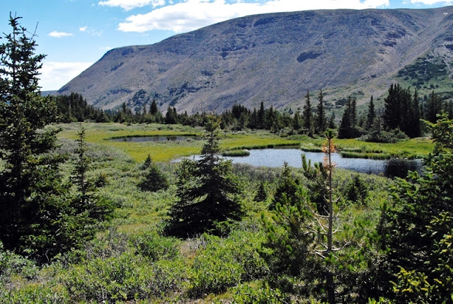
I first did a lot of hiking looking for what was a lake years ago, supposedly formed by a large beaver dam, but apparently it has disappeared with only a few shallow ponds remaining.
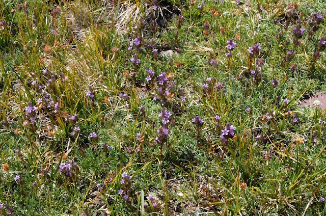
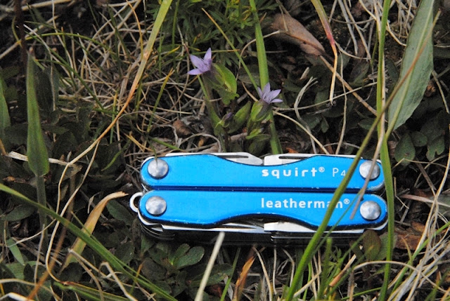
My tiny 2 inch long tool gives an idea of the size of these tiny flowers which many hikers wouldn’t even notice.
Gilbert Peak from up where I was looking for GR-153.
I then came back down to the larger upper lake, GR-151. It again has sort of turbid water with only a 11 foot maximum depth, but supports natural reproducing brook trout.
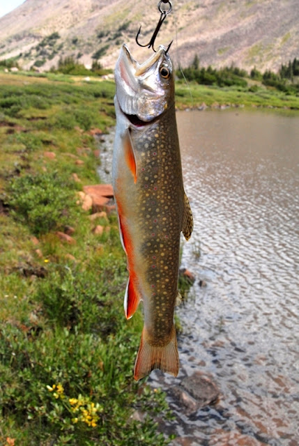
I caught many small brook trout here–none in my opinion large enough to keep for my lunch.
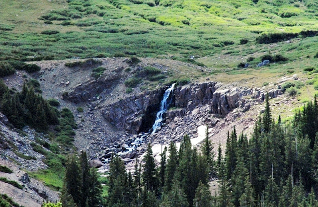
The lake is fed by a waterfall coming down from a small upper lake, GR-152. It is quite small but has a 13 foot maximum depth.
It is stocked with brook trout and according to the DWR is “seldom visited by fishermen.” Case in point, I didn’t make it up there either. I was pretty tired at that point, but my main problem was that I had to get back to camp, pack up and move at least part way down the canyon, to get back to the Trailhead the next day in good time to drive home and rest up a bit for my Monday morning job.
This especially became urgent as I had lost up high my last toilet paper, and also my insect repellent sputtered EMPTY! I shouldn’t be admitting these blunders, but maybe what I did to survive will help one or two of you.
My insect repellent this trip was BEN’S that has a screw top. When the spray aparatus sputters empty, it’s like your car fuel tank gauge on empty but you have another 30 miles or so. Removing the top I was able to pour enough into the palm of my hands for applications that got me to the Trailhead the next day. If I had of had the other repellent I use with no screw top I would have had to drill a little hole in the plastic bottle to get out what I needed, but left with an open bottle for a day or so.
The lost toilet paper was another story. The pages from my small Moleskine notebook were pretty thick–ineffective and rough on me–if you know what I mean. I resorted to my dirty socks as a soft finisher. Sorry, if that sounds gross, but for those of us that date back to before disposable diapers, we had a diaper bucket and had to wash the dirty cloth diapers–so a dirty sock or two was no big deal–and INCREDIBLY SOFT! I of course also had “ye old red bandana” good for all kinds of emergencies as I explain in several articles.
On my way back to camp at Gilbert Lake.
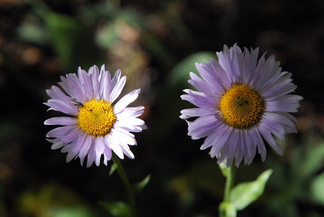
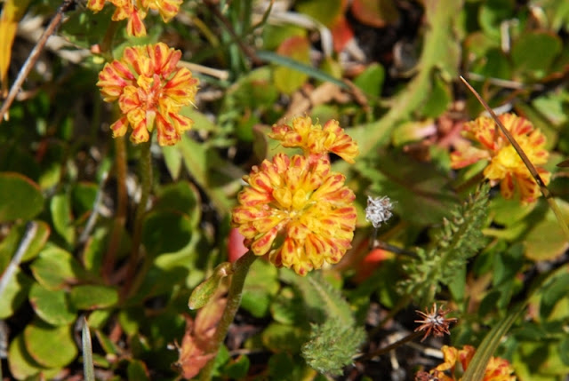
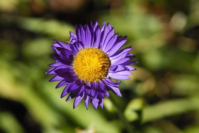
Another new wildflower.
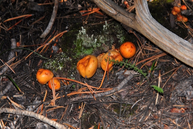
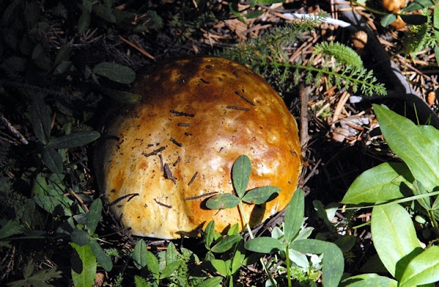
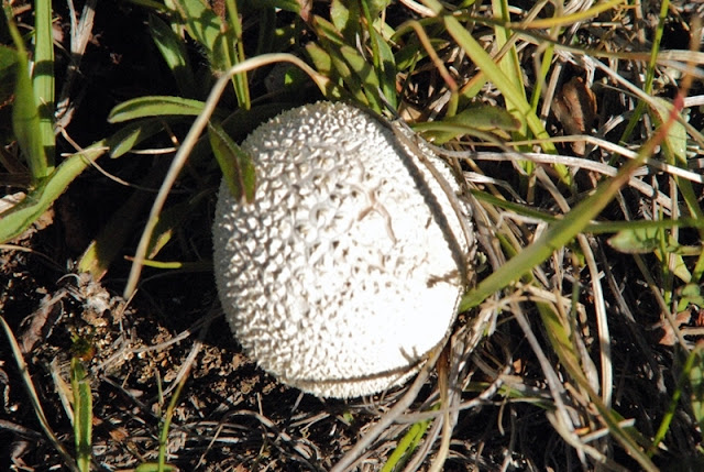
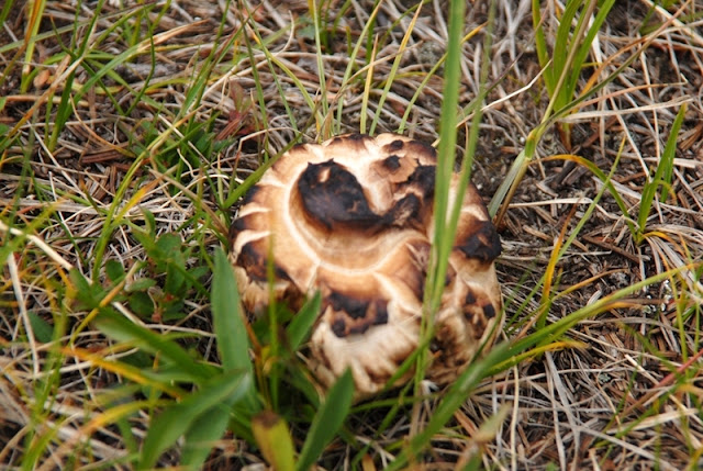
And more varieties of mushrooms, including the one below that could be
named “Toasted marshmallow.”
Back at Gilbert Lake a cow moose was feeding on the moss. I packed up and headed down the canyon.
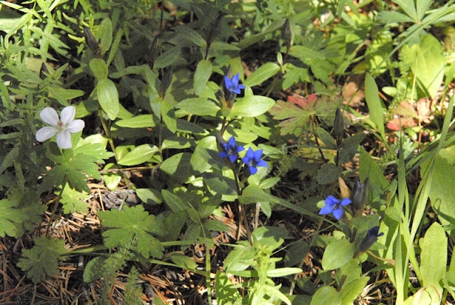
The blue flower is another new one.
Down at the Highline Trail I approached West Beaver Creek but it was a bit dark and I couldn’t see what the footing would be so set up my camp to do the ford the next morning.
The wadding slippers worked well again. Just remember when you cross a stream, always find a pole to steady yourself finding a firm spot upstream for the pole and follow with secure footholds, then move the pole, and progress across the stream. Just in case, it’s a good idea to put your expensive camera into a Ziploc bag.
Moving down the canyon the trail eventually joins an old jeep road (closed to vehicle use). When you come around a turn and see Beaver Mountain, you know you have about 700 yards to go.
At the Trailhead I checked the Register again. Several new entries were written in. The party under me had to be the guys that stumbled through my camp in the dark. They and all the others listed Gilbert Lake as their destination, but I never saw any of them in the area. Who knows where they ended up? Two of them listed coming out the day before me.
Now let’s do a little analysis. Below we see again the SPOT Tracker Google view of the 4 day, 27 mile trip. It was a trip I had to make, but the beauty of the lakes and the fishing wasn’t on par with many other trips I have taken. Maybe for elk hunting it would be great as I saw elk sign from soon after leaving the Trailhead, and especially up high.
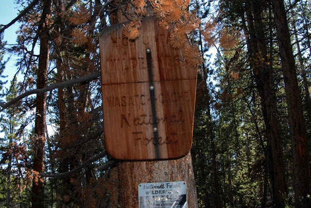
In my opinion a better option is the drainage where we see “Wasatch National Forest.” This is Middle Beaver Creek. There are beaver ponds down low, and then up into the high country there are a number of good options. Let’s look at a topographical map of the area.
If the labels are too small to read, click on the picture to see an enlarged version, or go to the Web Album where the image should be large enough to read everything.
The Middle Beaver Creek Trailhead is 2 miles in from the main road and is on the Wilderness boundary. The distance to the North Slope Highline Trail is about 5 miles. From there it is about 1.5 miles to Beaver Lake which is more than twice as large as Gilbert and is 30 feet deep. The trail stops at Beaver. It’s the most heavily visited lake in the area and so fishing would only be mediocre, but better than Gilbert. There are other wonderful options you can get to off-trail nearby. 1.5 miles south is Coffin Lake with a 28 foot depth and has native cutthroat trout. Less than 1/2 mile south is above timberline GR-145 that has been experimentally stocked with Arctic grayling. Further to the east, accessed from Beaver Lake is above timberline GR-177, but which is only 11 feet deep and characterized by glacial turbidity. Lower down, near the Highline Trail are other options, like, Dine and Hidden Lakes, both off-trail offering solitude. From this area you can also access Thompson Pass, one of the 23 passes in the Wilderness Area. It is 3.5 miles from the trail that leads to Beaver Lake.
This will very likely be one of my next trips in the High Uintas Wilderness.
Let me conclude by mentioning that this season, in my 75th year, you haven’t noticed me complaining about joint and feet problems, nor high altitude sickness, much less heart problems, or excruciating fatigue or such–all of which have been problems over the years. I find all this an incredible blessing from the Lord, and a pretty strong endorsement for what I recommend in my article entitled: Where Do You Get So Much Energy? Check it out as some of what I have discovered and proven effective might just help you keep going and avoid the other option–you know, the one we should fight like the plague! The links I provide will get you the good stuff cheaper than anywhere else without having to leave your living room.


































Cordell,
How were the mosquitoes on this trip?
We were in the Henry's Fork Basin a couple of weeks ago and I thought the mosquitoes were going to carry us off!
Dean
Thanks Cordell! What a great report!