
REMEMBER TO HELP IN UKRAINE @: RED CROSS AID TO UKRAINE
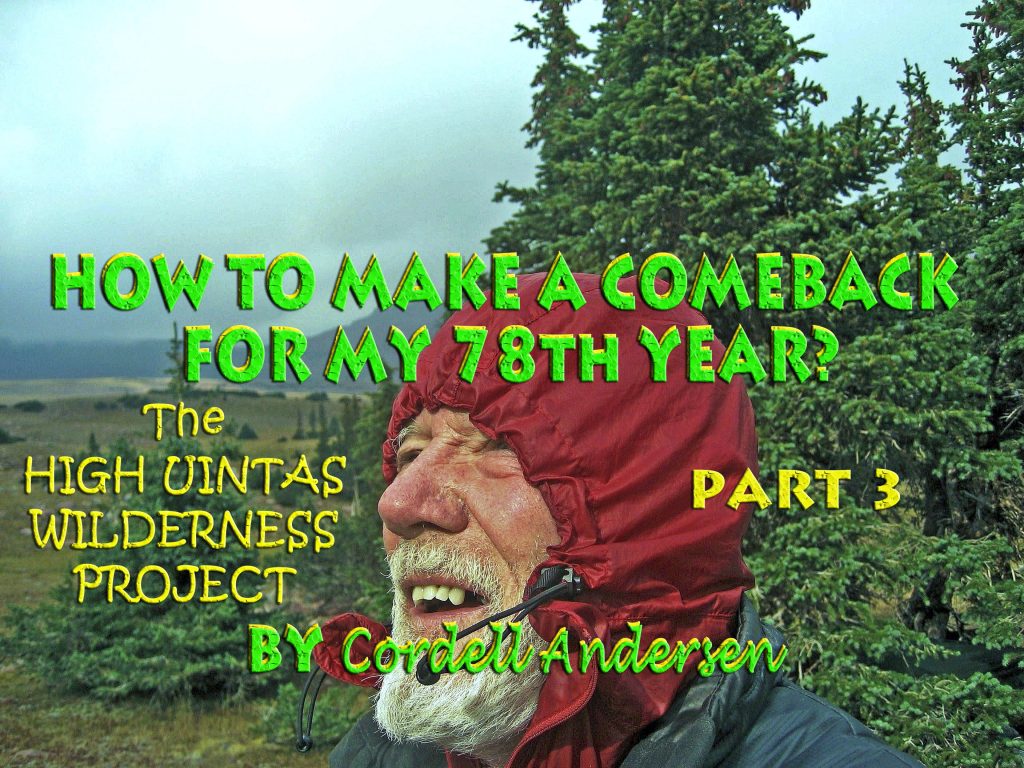
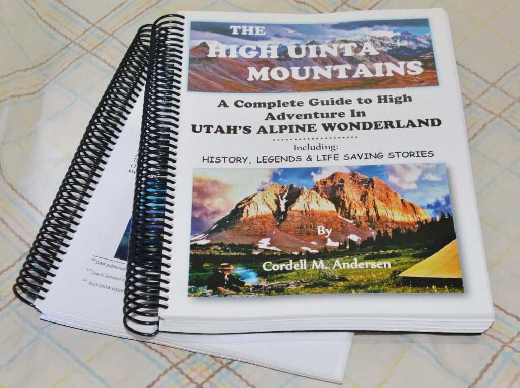
TO COMPLETE MY HIGH UINTAS PROJECT-Churchill and his “NEVER, NEVER, NEVER GIVE IN!” forced me—from 2003 to 2022–to go through 15 surgeries, 2 radiation treatments & become a “CANCER SURVIVOR” as well as discovering wonderful nutrition supplements — all revealed in my HIGH UINTA MOUNTAINS BOOK, on pages 616-649, the opening page below……to awaken your curiosity!
NONE OF IT WAS EASY, and I HAD TO LEARN TO ENDURE A LOT OF PAIN–actually worse today & I’LL CONFESS, as I do in Appendix 5, that 4 or 5 times I had what I call my……
“FOREST GUMP MOMENTS”
Discouraged with life–wouldn’t you know it, BECAUSE OF A WOMAN!—he started running all over the country for 3 years and had a following of odd-ball types that ran around after him…..and all of a sudden in the middle of the Arizona desert he stopped and turned towards them. One shouted, “QUIET, HE’S GOING TO SAY SOMETHING!” They expecting some kind of prophetic utterance…..but with heads hung low they all had to find someone else to worship–since FOREST WENT HOME!
BUT, IN MY CASE, I SEEMED TO SOLVE EACH “GLITCH” WITH ANOTHER SURGERY, OR MIRACLE SUPPLEMENT–like Dandelions, AND MADE ANOTHER…..surprise, surprise……..
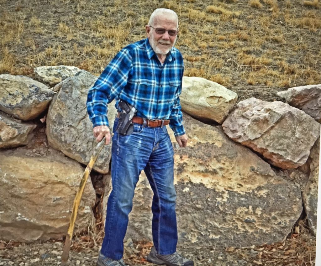
Since not being able to walk a year or so ago, with a dead right leg, and a misaligned spine that should have killed me–I’ve been doing my darndest–interestingly one of my favorite series on TV, “DR. QUINN, MEDICINE WOMAN,” had SULLY, her–mountain man/adopted by the Cheyenne–boyfriend & later husband, had an accident and couldn’t walk–just like happened to me. His self-therapy followed mine and we both learned to walk again— but me now in my 86th YEAR have to sort of…….
….FAKE NOT BEING A CRIPPLE…again!
BUT, thanks to the Lord, I’M GREATLY BLESSED WITH DOING A PRETTY GOOD JOB OF IT…..LAST WEEK MAKING IT WAY UP GROVE CANYON as shown in my last post (scroll down if you missed it) …..
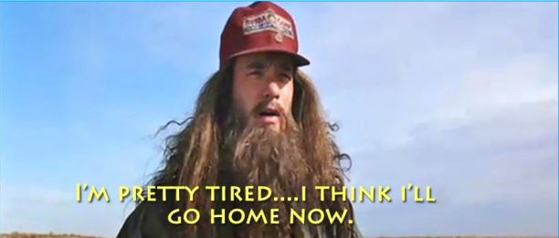
….. but last Friday, my blood pressure was sky high and it took me all morning to get it to near normal–by taking another dose of medication, then 30 minutes later checking the pressure, and then taking a double dose, etc., etc. until getting it near normal and then preparing to GO ALL OUT UP GROVE CANYON…..but at the trailhead REALITY SET IN (as I’m not completely a “dunderhead” — my MAYA BOOK explains that @ https://www.guatemalanfoundation.org/), and after a hike along the foothills I decided:
“I’M PRETTY TIRED…..I THINK I’LL GO HOME NOW!”
…… and NOW WORKING ON SOLVING THE GLITCH, while being careful with short daily exercise efforts–several times a day— at the stairs, etc. and finished the week with some magnificent new VISIONS OF NATURE I want to share with all of you…. I’ll insert below:
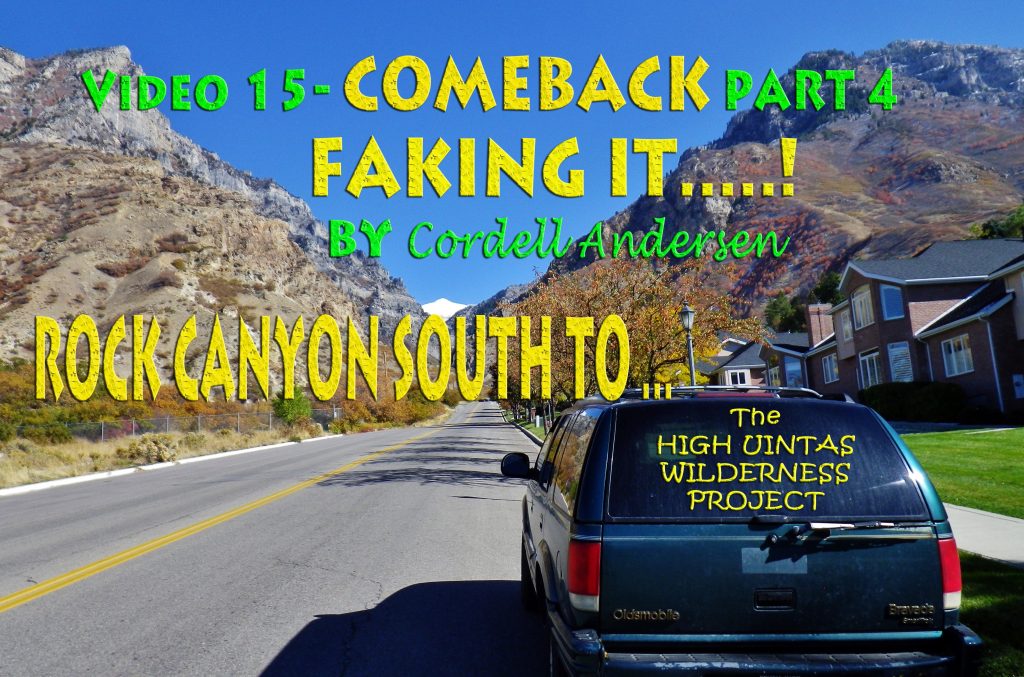
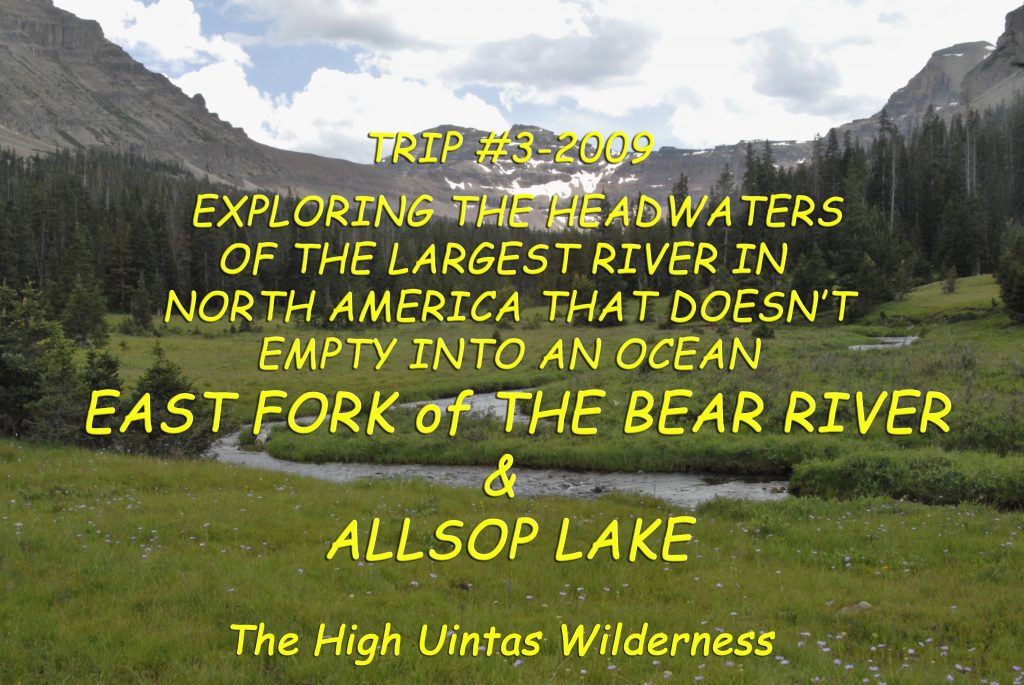
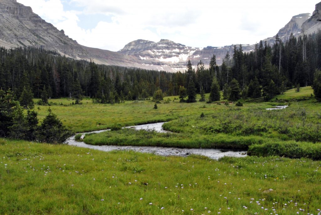
NOW TO THE HIGH UINTAS — THIS WEEK FOCUSING ON THE EAST FORK OF BEAR RIVER TRAILHEAD
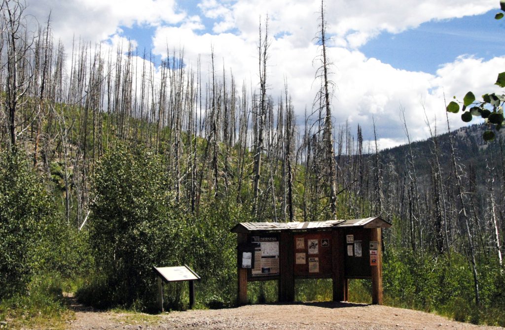
This is the TRAILHEAD. Very visible in the background are the evidences of a huge forest fire here years ago, with Forest Service displays giving us great information.
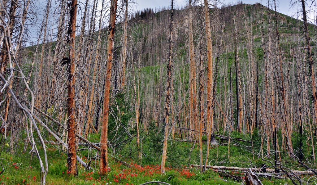
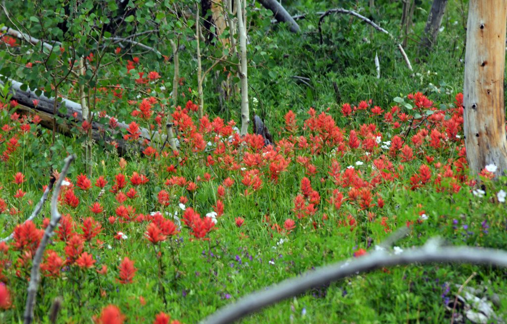
A forest fire–a terrible chaos of nature, soon has nature giving life to the survivors, like the Indian Paintbrush flowers, but you also see other vegetative heroes coming to the rescue.
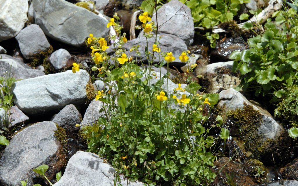
And, these Yellow Monkey Flowers, but you will mainly see a tree that comes back quickly first and saves the burned areas. It is the UTAH STATE TREE, the QUAKING ASPEN we see sprouting from it’s root system that survives the fire…..
THE QUEEN OF UTAH’S TREES — THE QUAKING ASPEN

So, up sprouts from the ashes our UTAH QUEEN of trees, the QUAKING ASPEN.
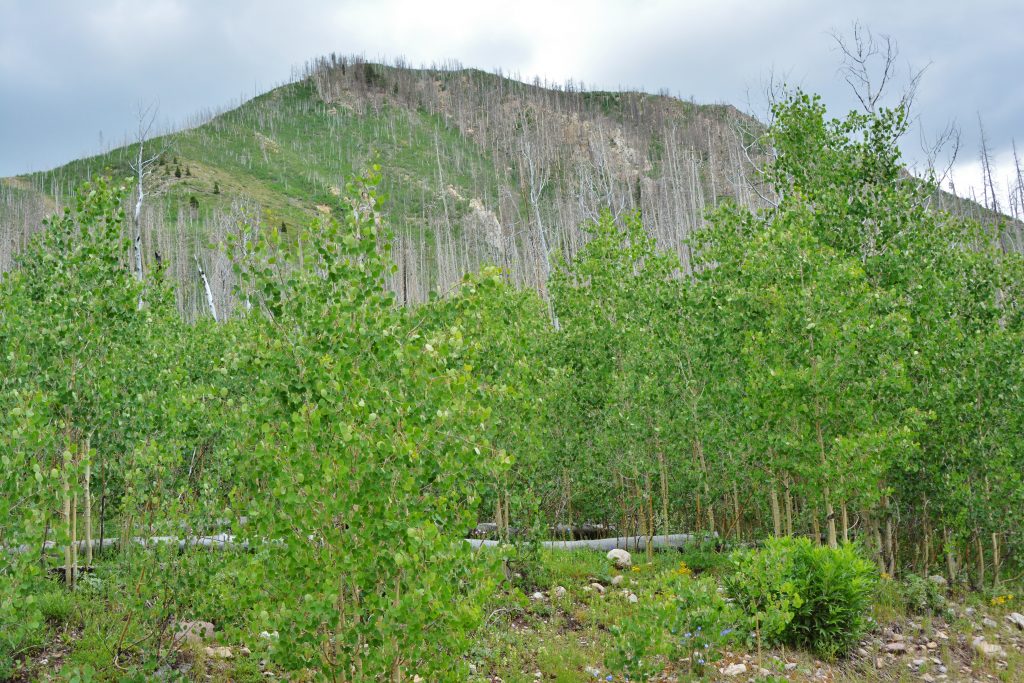
And soon it becomes a whole forest of trees that protects from erosion, and provides for the much slower-to-sprout evergreens that over many years will reforest the mountains. In fact, in my BOOK I tell the story of one QUAKING ASPEN with the same root system–the same living organism–in the Fish Lake National Forest that is considered to be the largest living organism on the planet earth. For many years the Utah State Tree was the Colorado Spruce, but all of a sudden an Elementary School took the initiative to do what was logical and right and have the QUAKING ASPEN become our State tree, a very worthy QUEEN! I relate the details of that story also of course in my BOOK–YOU’LL SEE THAT MY BOOK IS NOT JUST A GUIDE BOOK FOR FISHERMEN & BACKPACKERS, but each section is prefaced with HIGH UINTA MOUNTAIN: HISTORY, LEGENDS, & SURVIVAL STORIES>>>>
>>>>THAT HAVE SAVED LIVES!
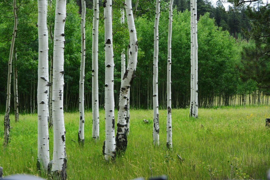
Here we see the more recognizable beautiful Aspen tree with it’s strikingly beautiful white trunk.

….and here a few showing how majestic they become.
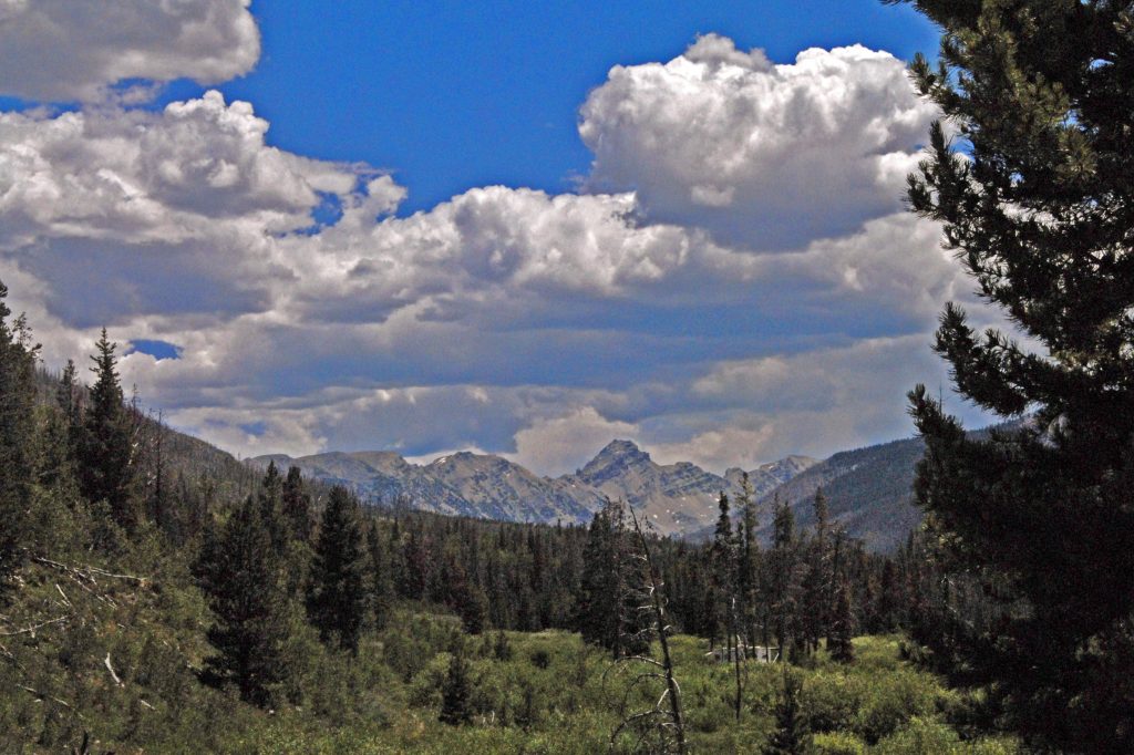
We are now past the burned area and see in the distance rugged MOUNT BEULAH which we’ll be going by shortly.
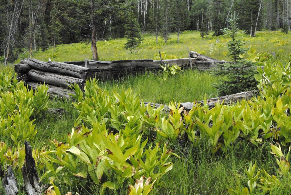
Along the trail we see a lot of ruins of the Tie Hackers, including evidences of outhouses, garbage dumps, and in the cabins higher doors, plus windows–all evidences that they are from
the 1912-1935 Tie Hacker period.
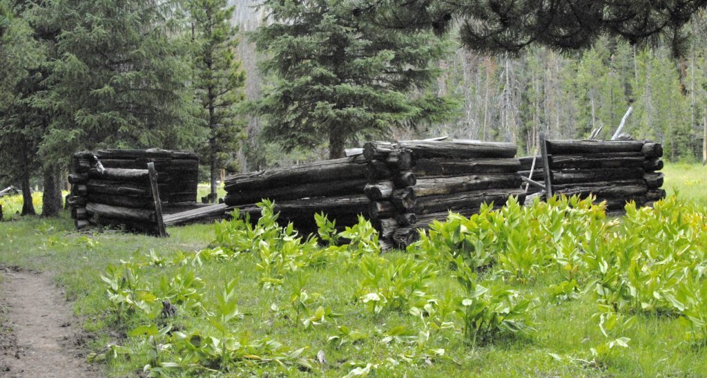
If you look for nails, you will find only round ones that weren’t invented until 1910. No square nails like we found in Main Fork in our last report on the early period of Tie Hackers–1867-1880.
In the area of these ruins is where you can ford the river, and bushwhack your way off-trail up to Lake Lorena–which is not in the Wilderness area, but is a “wilderness lake.” All the info is in my BOOK.
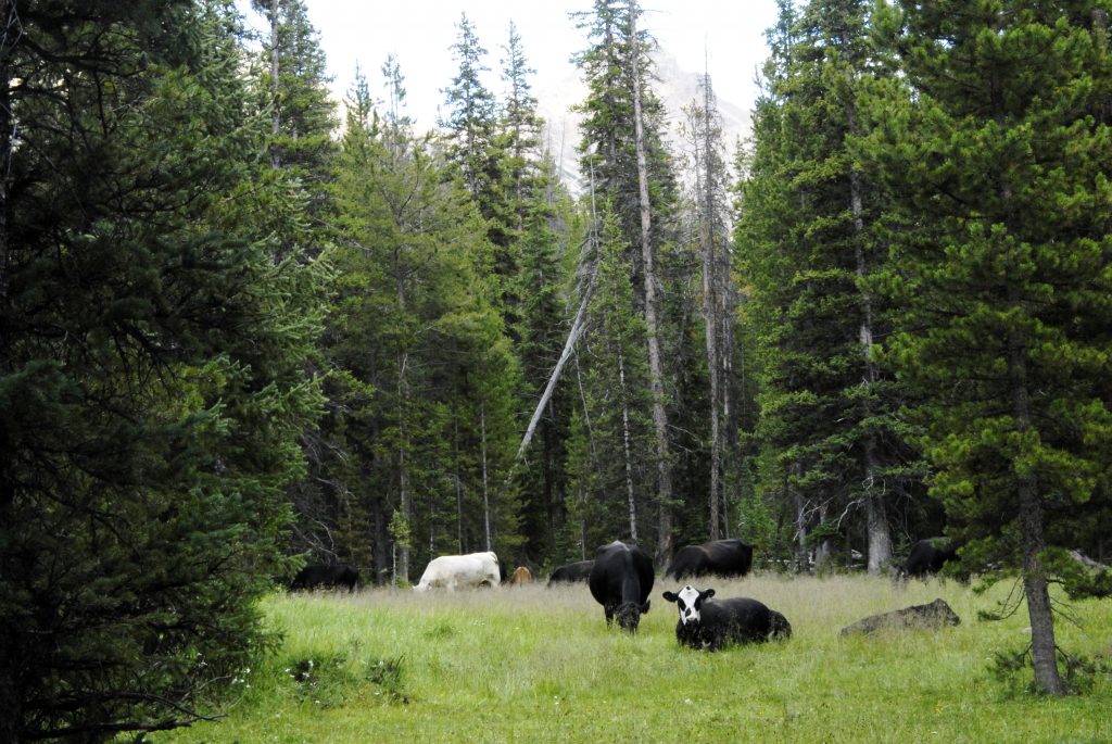
As I moved up the canyon I passed a herd of free range cattle, and a little later I lie down to rest a bit to be awakened all of a sudden by a CHAROLAIS BULL.
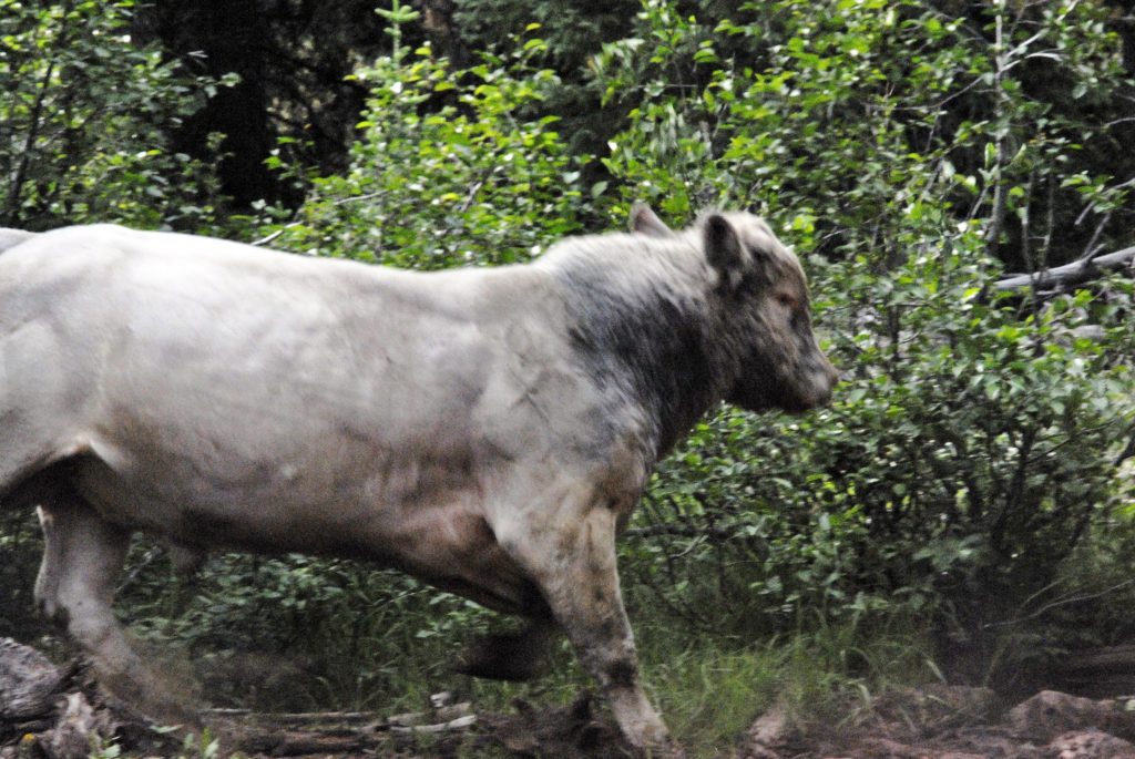
The bull wanted to move his cows up the canyon, and I was blocking his way, and HE HAD FIRE COMING FROM HIS EYES, SNOT DRIPPING FROM HIS NOSTRILS, AND SMOKE BELLOWING OUT OF HIS EARS WHILE PAWING THE GROUND READY TO CHARGE.…so I had to fire a warning shot and he swung away from me as you see here.
This was one of the two places and times when I had to use my .45 Colt Defender to scare off a possible attacker. The other time was with a mama moose when I carelessly got between her and her young one.
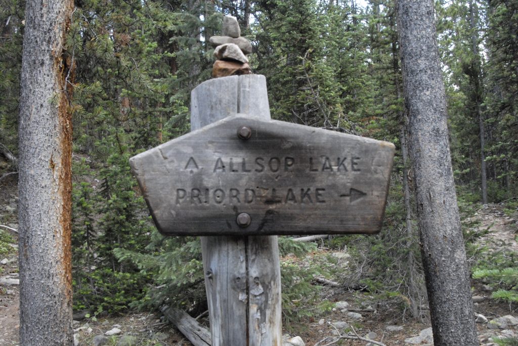
Soon we come to a fork in the trail — the right hand fork crosses the river and goes up a long canyon to Priord Lake that we saw from a saddle from the Rock Creek Drainage to the west—seen again below:
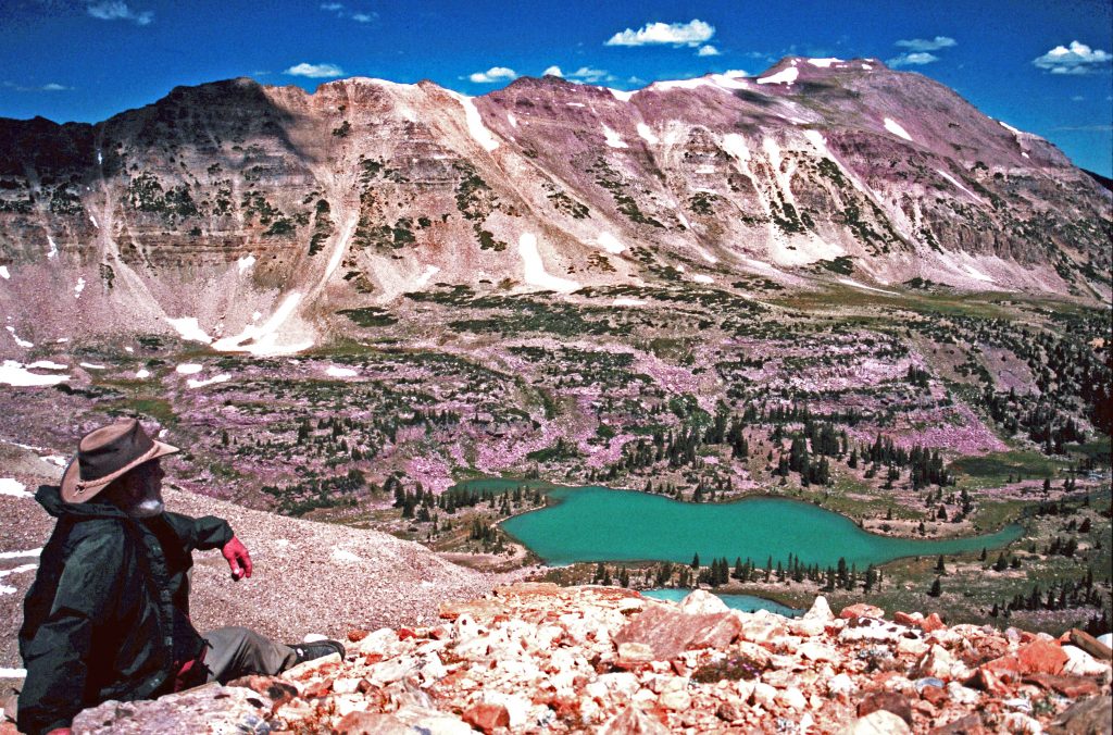
Here I am viewing Priord Lake from the saddle climbing up from the Rock Creek Drainage. Also in this above timberline basin is Norice Lake. Another lake is accessed from down the trail where you can bushwhack your way to this lake–Lake BR-44. Once again, info in my BOOK along with topographical maps.
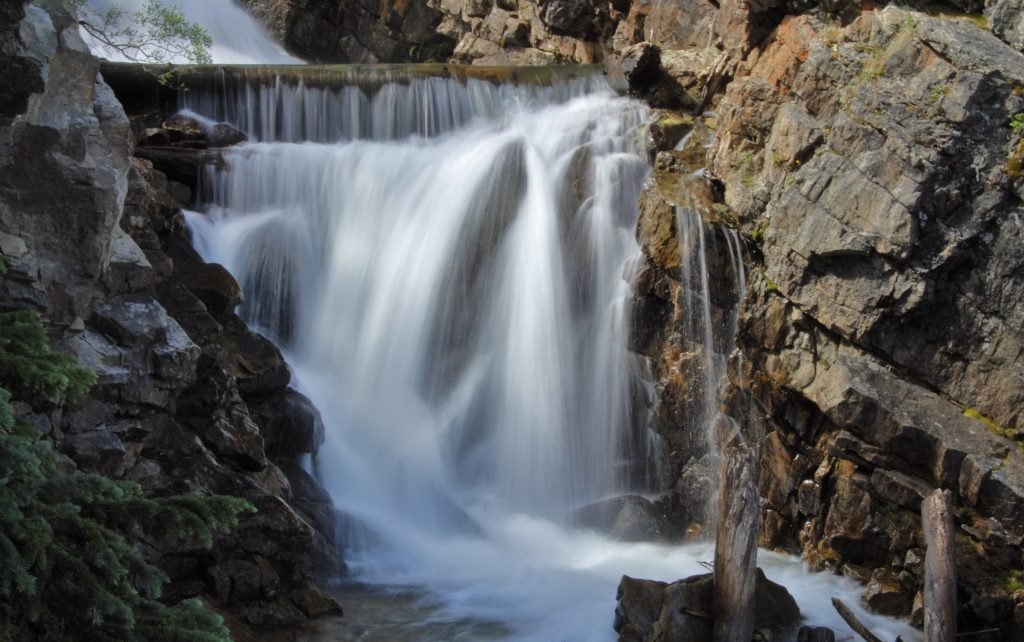
From that trail junction you soon begin to climb quickly, with the river cascading down the canyon.
Then you come to the high country. The saddle from which the Allsop Lake picture was taken is seen in the far left upper center. It was at the foot of that saddle where the remains or Eric Robinson were found, 5 years after he went missing.
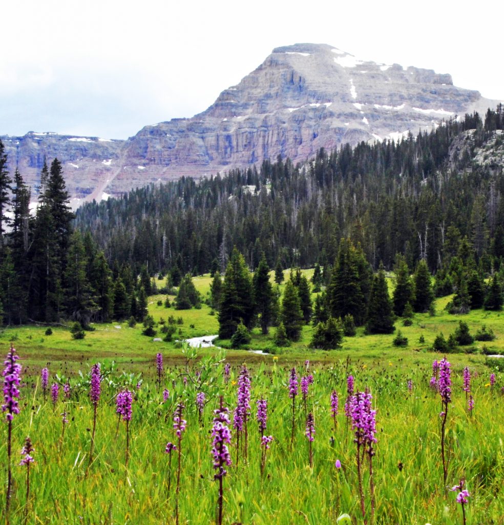
As we move up the basin we view the beautiful ELEPHANT HEAD FLOWER, and get a great view of a special mountain called THE CATHEDRAL.
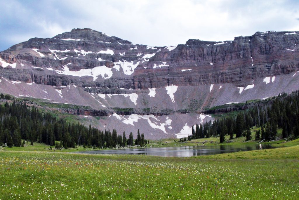
And, soon we come to ALLSOP LAKE that has Native Cutthroat Trout.
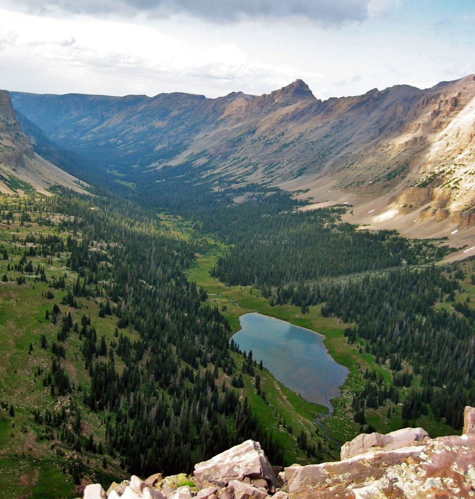
ALLSOP LAKE as seen from the saddle above Reconnaissance Lake and the Rock Creek Drainage. Canyons like this one were gauged out by glaciers many years ago. Note: A friend provided me with this photo. I’ll have to confess as an old guy my memory has failed me temporarily not remembering his name. Please forgive me.
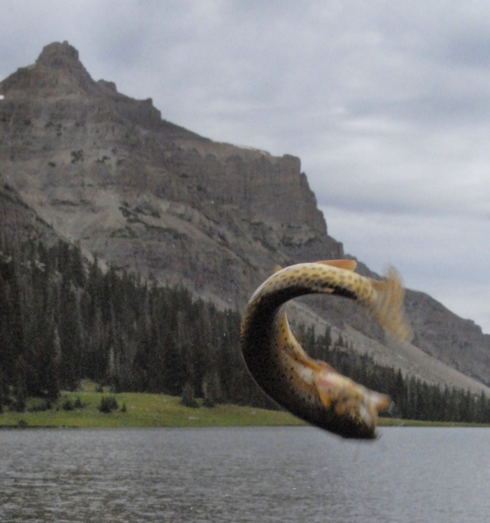
One of Allsop Lake’s feisty Native Cutthroat trout excited to see me come after him.
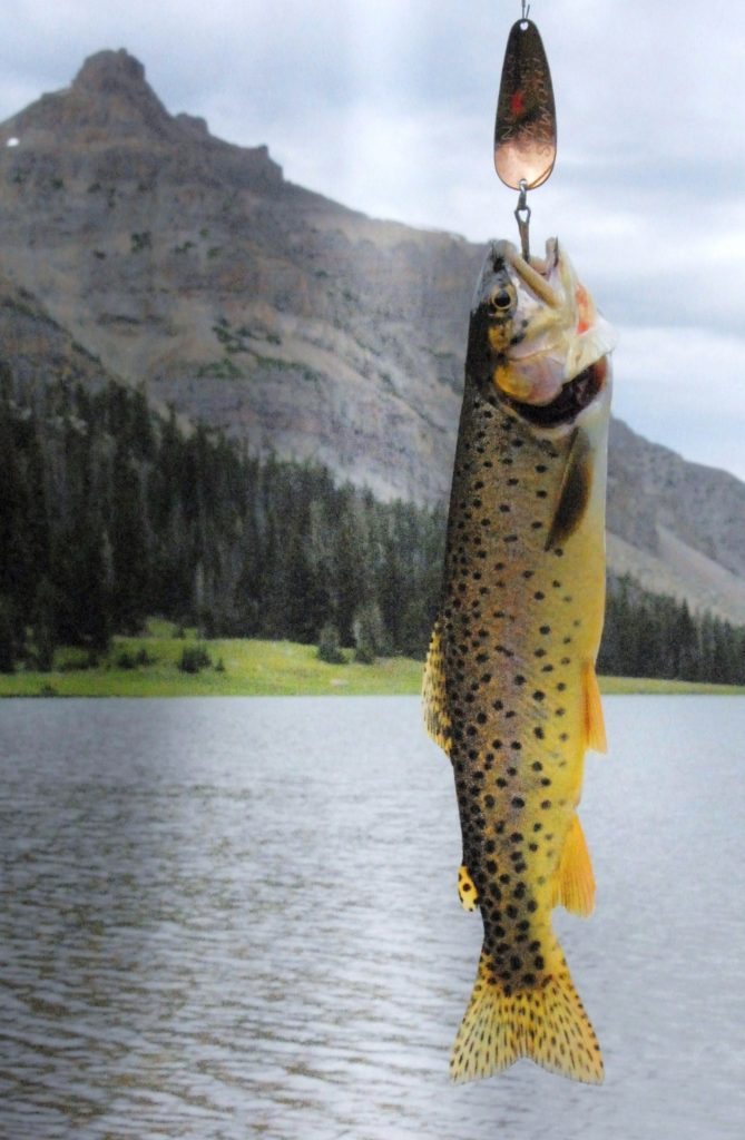
I got him, and then released him to grow a bit more. The strain of cutthroat trout is a bit different here, with the golden yellow color.
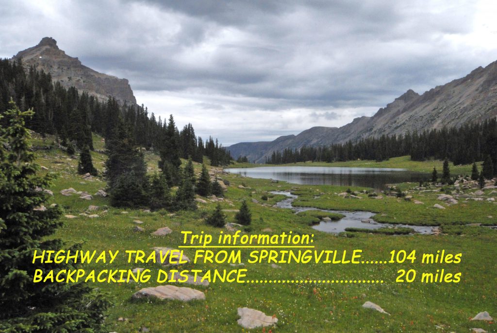
Here’s the trip information at the time when I lived in Springville up to May 2013. The backpacking distance is round trip.
FOR FULL INFORMATION ON THIS & OTHER AREAS, AS WELL AS TOPOGRAPHICAL MAPS WITH ROUTES, DISTANCES & LABELS — get an online copy of this book, some have called THE ENCYCLOPEDIA OF THE UINTAS, send me $20 (don’t be afraid of sending a $20 bill as we aren’t south of the border) along with your email address, and I will immediately email you the link to download the book with my permission to share once with a friend. Or, send $25 for a thumb drive that will have the book, plus The History of it’s creation as detailed in a speech I gave at the Utah Valley Historical Society; plus my CHECKERED HISTORY & VISION QUEST–0-22 years. Send to: Cordell Andersen, 444 Elm St., American Fork, Utah 84003
**********************