
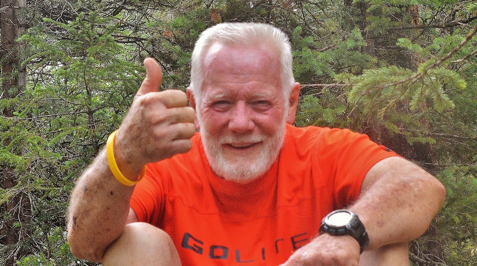
UPDATE: Saturday, Aug. 9th
As an old geezer trying to keep alive…..I’ll keep moving today focusing on the recent objective…and do a little to maintain my conditioning for a scheduled High Uinta backpack with my buddy Ted Packard & son, Mike.
Rest assured the HIGH UINTAS WILDERNESS PROJECT is ongoing with research & writing going forward and more backpacking will be done when I have resolved a few personal, family & Foundation issues I’m working on….You’ll be advised…
On my way to explore the lower portions of the Pioneer Timber Slide
Report: Sunday, August 10th
RESULTS SO FAR: FRUSTRATION?
ASSUMPTIONS, perhaps wrong influenced by tie hacker’s “FLUMES”
I envisioned the following, but without the water, rather gravity carrying the timber on a REALLY WILD RIDE down to the valley & been looking for remnants of such…not found. Click to : SEE MY photo report from Sat. Aug.9th trip.
NOTE: I just found historical reference to the timber slides and will update when I have a little time.

.Attempt #2 on Maple Mountain…searching for the
Pioneer Timber Slide


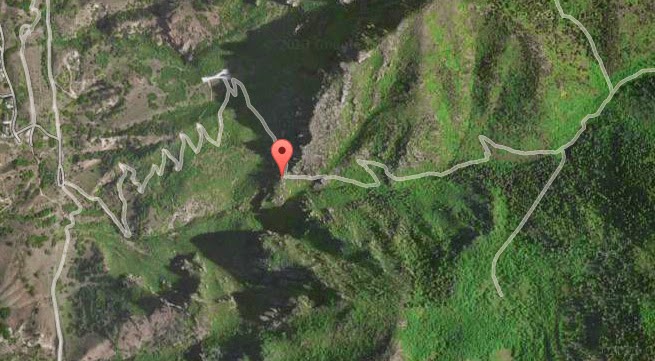

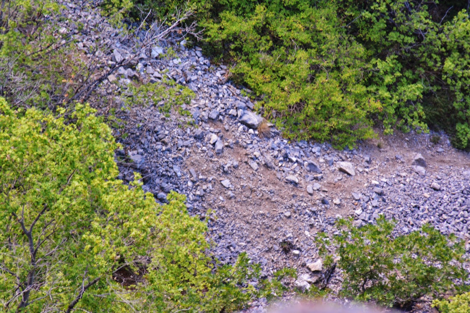


We have progressed up the Eagle Pass area, and see here a Google Earth view I showed in the last part of my Attempt #1 photo/essay, that shows to the right the trail that comes up from Slide Canyon to Maple Flats. But the important part is a continuation of the pathway that leaves the ravine and climbs the mountain crossing right in the middle of this shot. See it enlarged below in dead center..

Below we see it faintly from the hiking trail, and you will notice that the flat looking picture above is in reality very steep rough country.
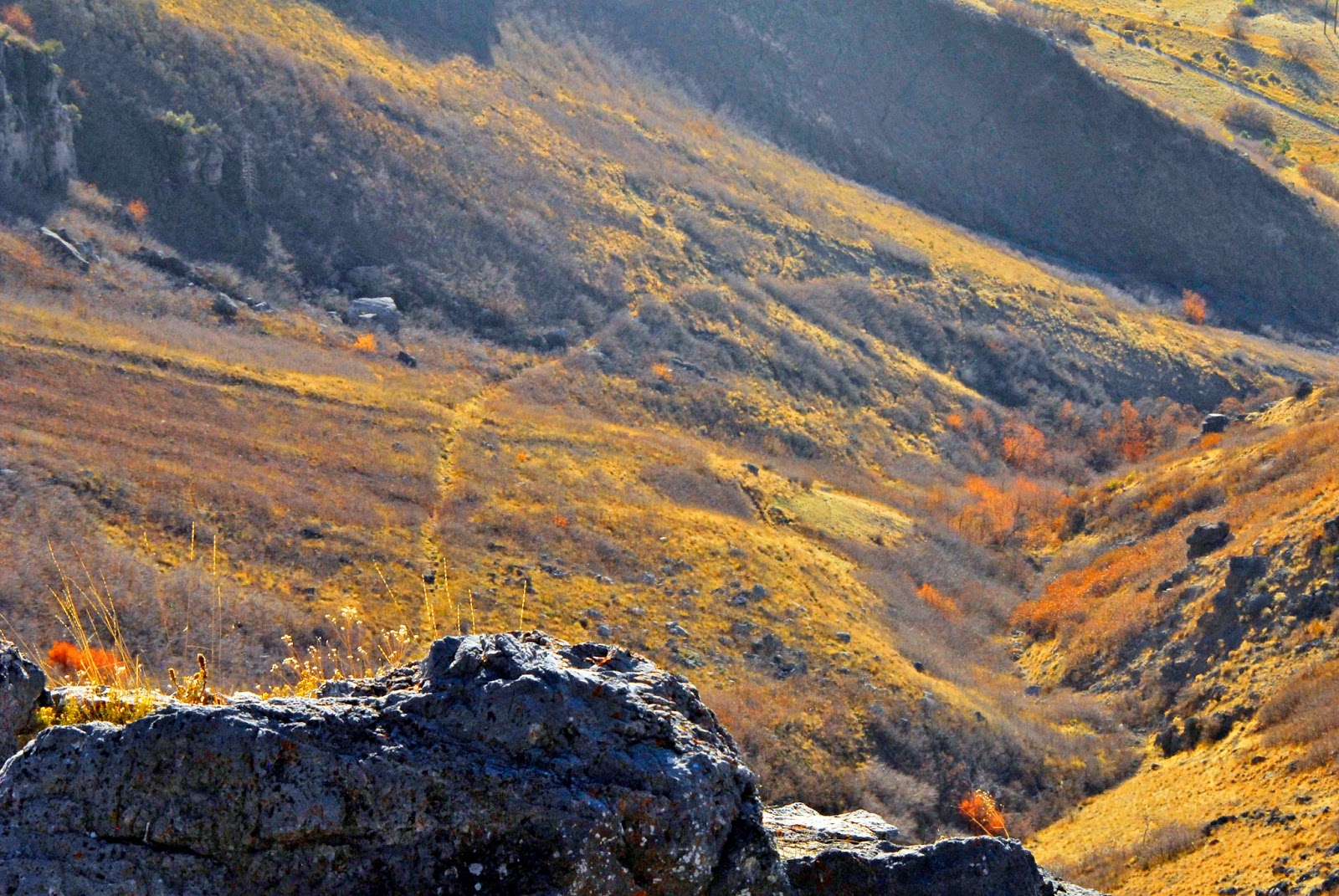
It goes, or comes down through, the pines up above. As I say, very steep, rough country. What I wouldn’t give to be able to actually see what was going on here 150-60 years ago.

I need to find some old pioneer journals, letters, records that describe what was going, and the specifics of how they undertook such a gigantic task.
In this shot we can see the pathway cutting across the upper right corner, but also the path continues up Slide Canyon as we see in the lower left portion of the picture.
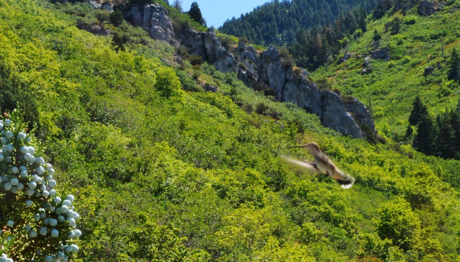
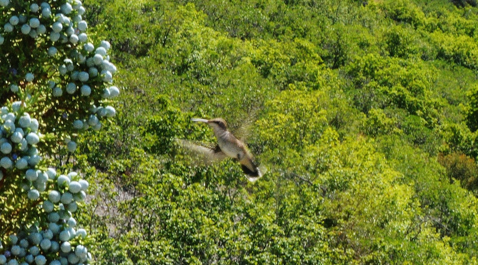
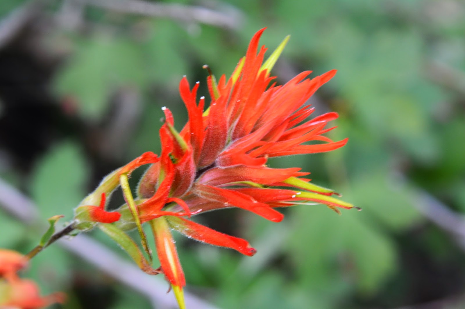
Then ZOOM into view a live VISION OF NATURE and we forget for a few minutes pioneers and slides and think of humming birds.
With a series of the best shots I got of these hard to photographs tiny VISIONS of beauty.
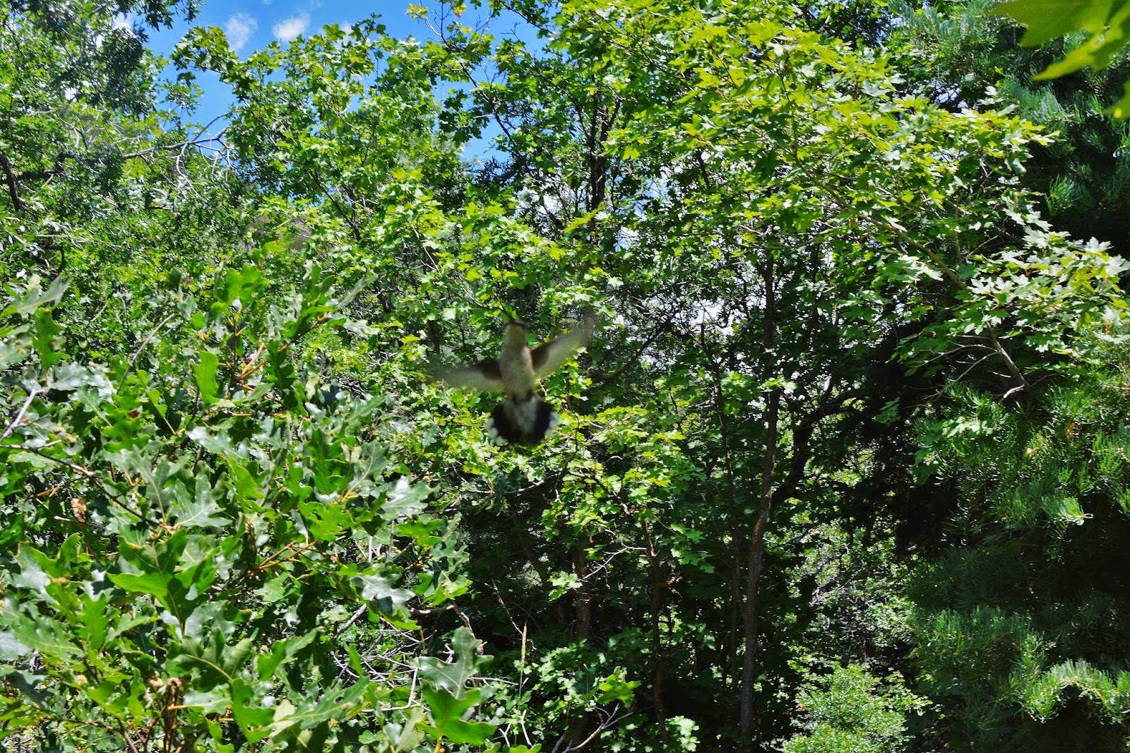
Maybe these mountain varieties are not so colorful as some, but……
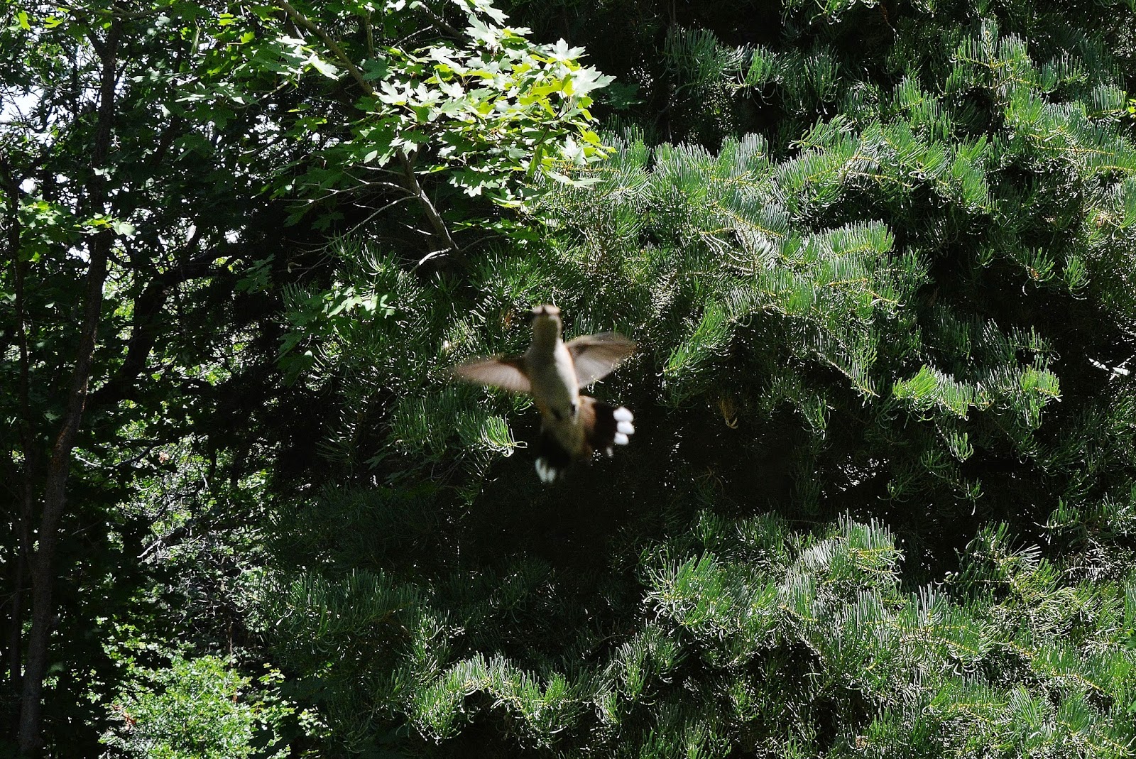
…..nonetheless magnificent little natural engireering marvels.

I should have had my flash on, but it all happened so quickly.
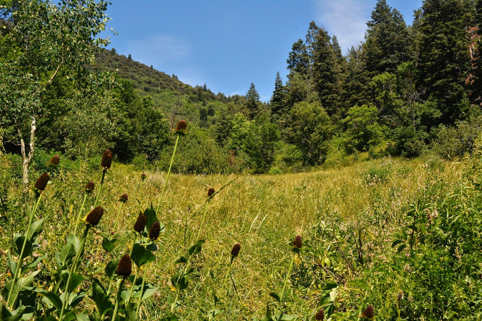
Then we come to the 1st meadow where years ago I was nearly stomped on by a herd of deer….and hit the SPOT Tracker OK button while resting a bit.

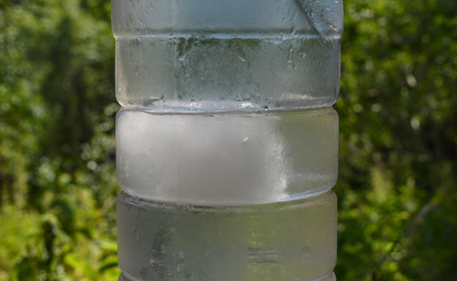
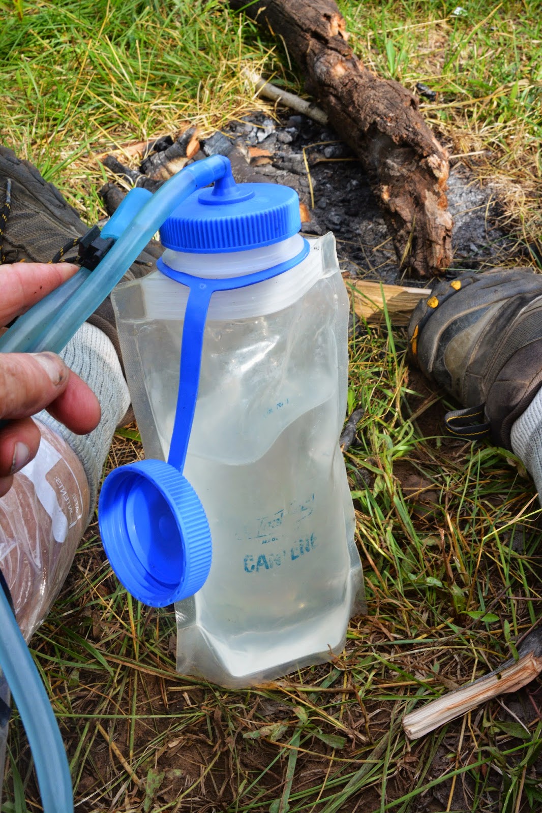
I still even had a bit of ice in the nearly two gallons of water I carried….16 lbs……just in case I didn’t find the water good in the spring that is a bit over half-way up that slope towards Maple Flats.

I’ll admit my first attempt failing to find the trail, and with water gone had to head down the mountain. But not this time. Just after you get to the meadow you’ll see to the left a shady spot where I have rested several times. Directly in front, or to the south a short trail takes you to this campfire area. Straight through it a trail heads for the pines and I took the bait the first time, and ended in a maze of game trails that led nowhere.

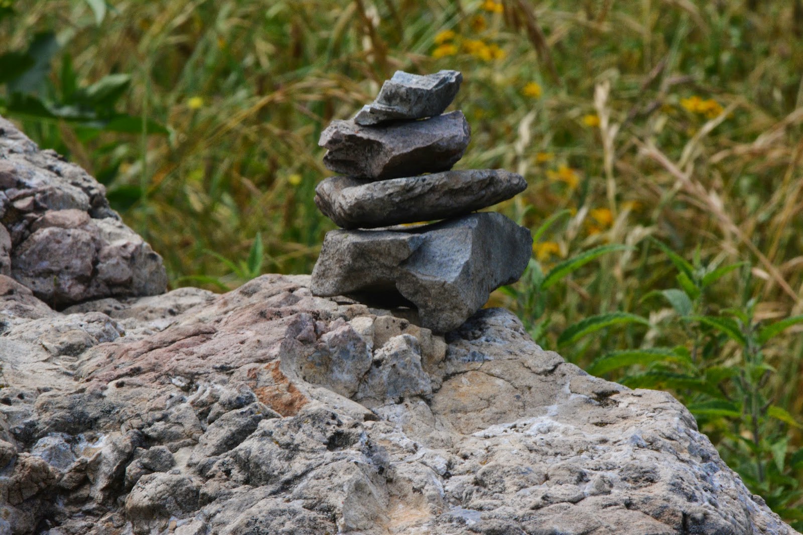
But, look to the right of that rock, and you will barely see a trail taking off….THAT IS THE TRAIL TO MAPLE FLATS.
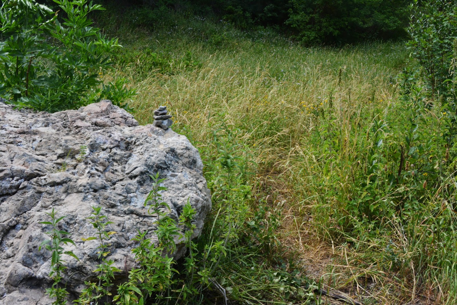
I should have put a larger pile of rock markers, but I did mark it, and hope they survive to guide hikers.
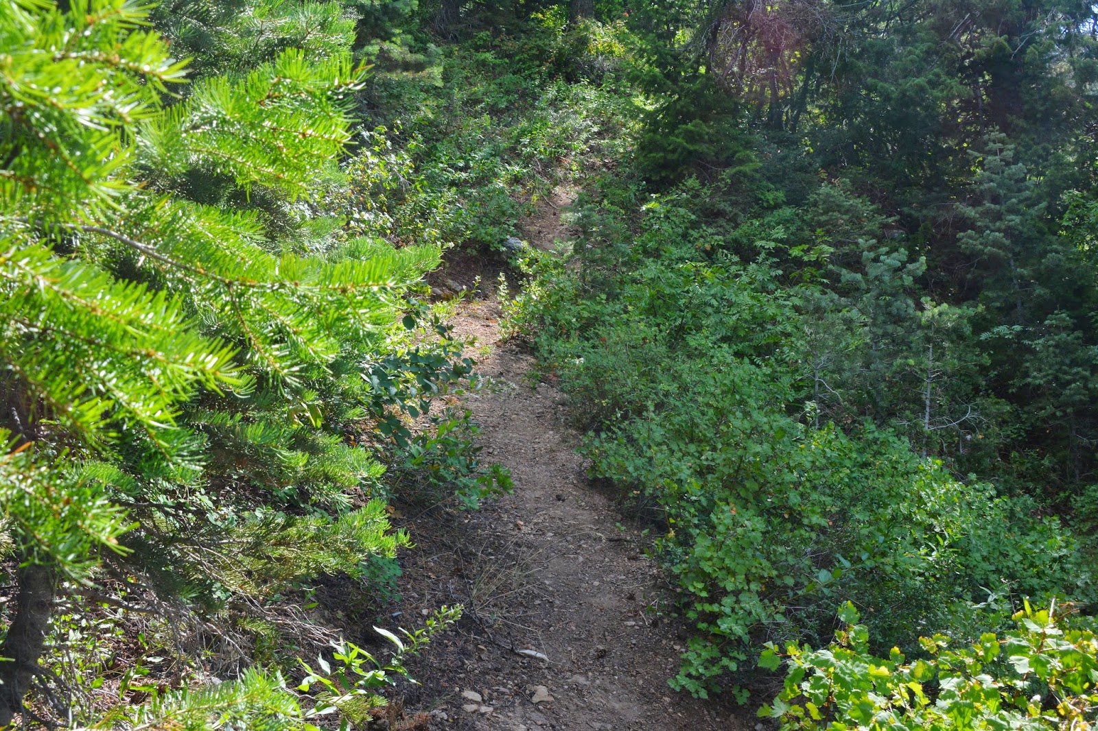
Up the trail we go.

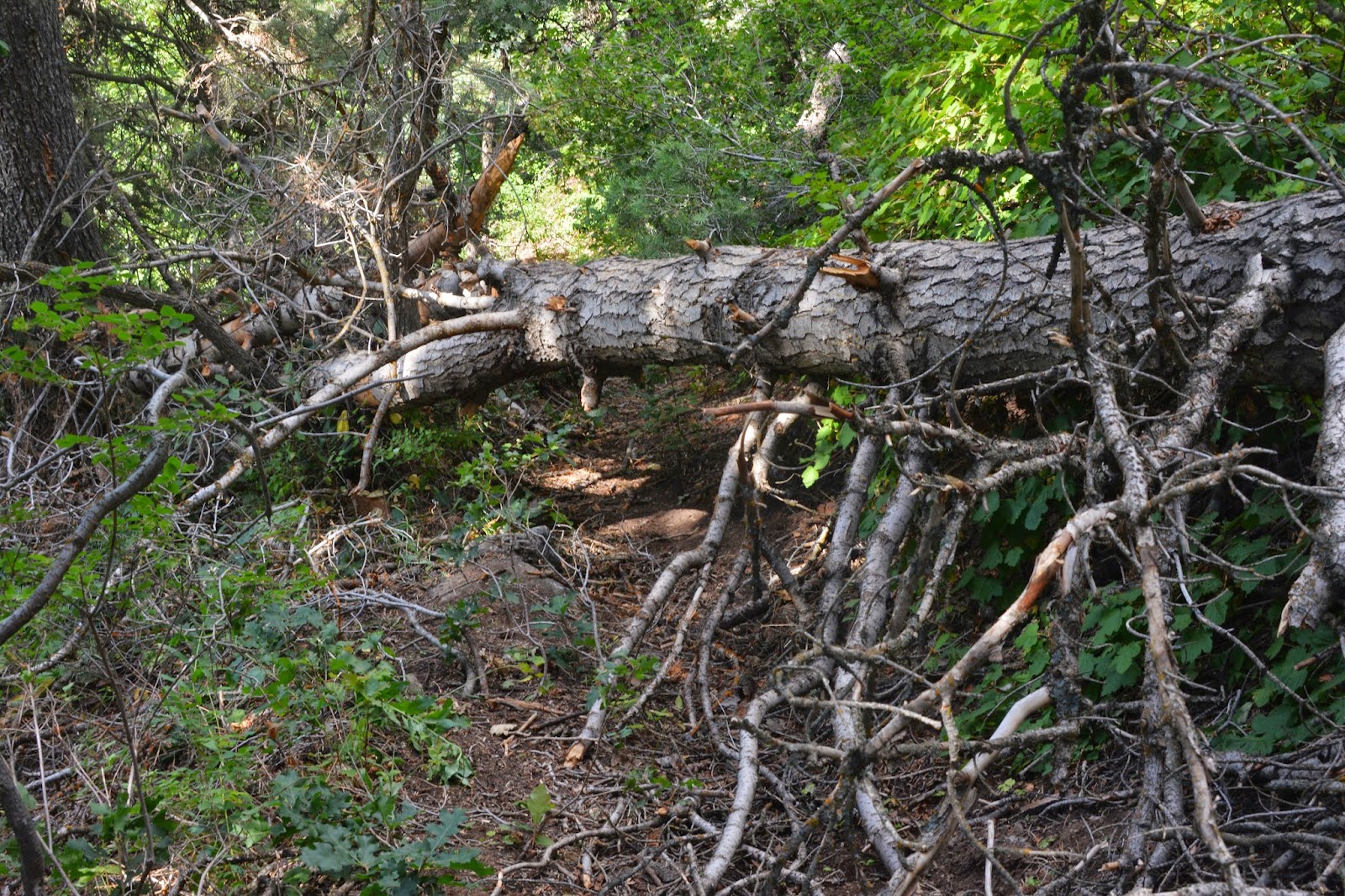
The only major obstacle on the steep trail, sometimes almost hid by vegetation, is this downed tree. No Trail Crews to make it easy going.
This beautiful plant, if it was in Guatemala, would be the poisonous “AMCHE,” or “Palo Brujo,” similar in affects to Poison Oak I have talked about in my autobiography, “The Checkered Journey….”


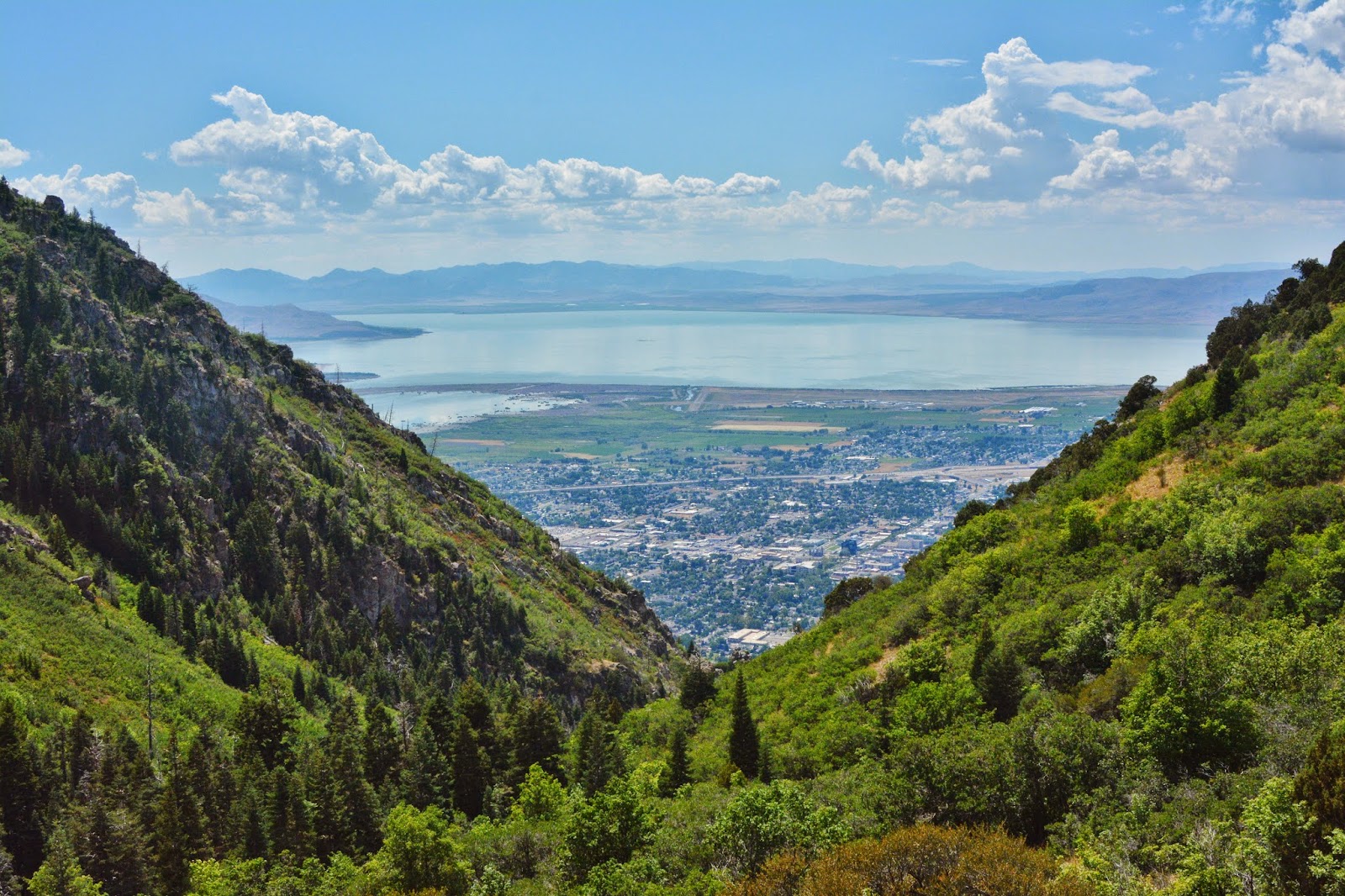
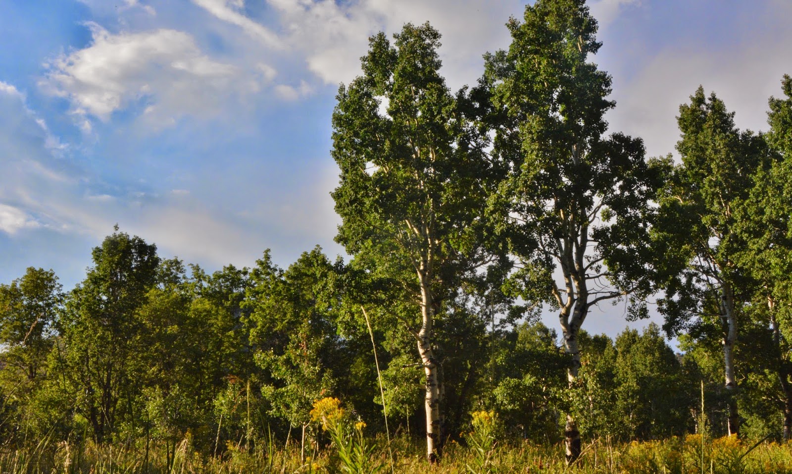
Half way to Maple Flats we look north and see the twin summits of Y Mountain

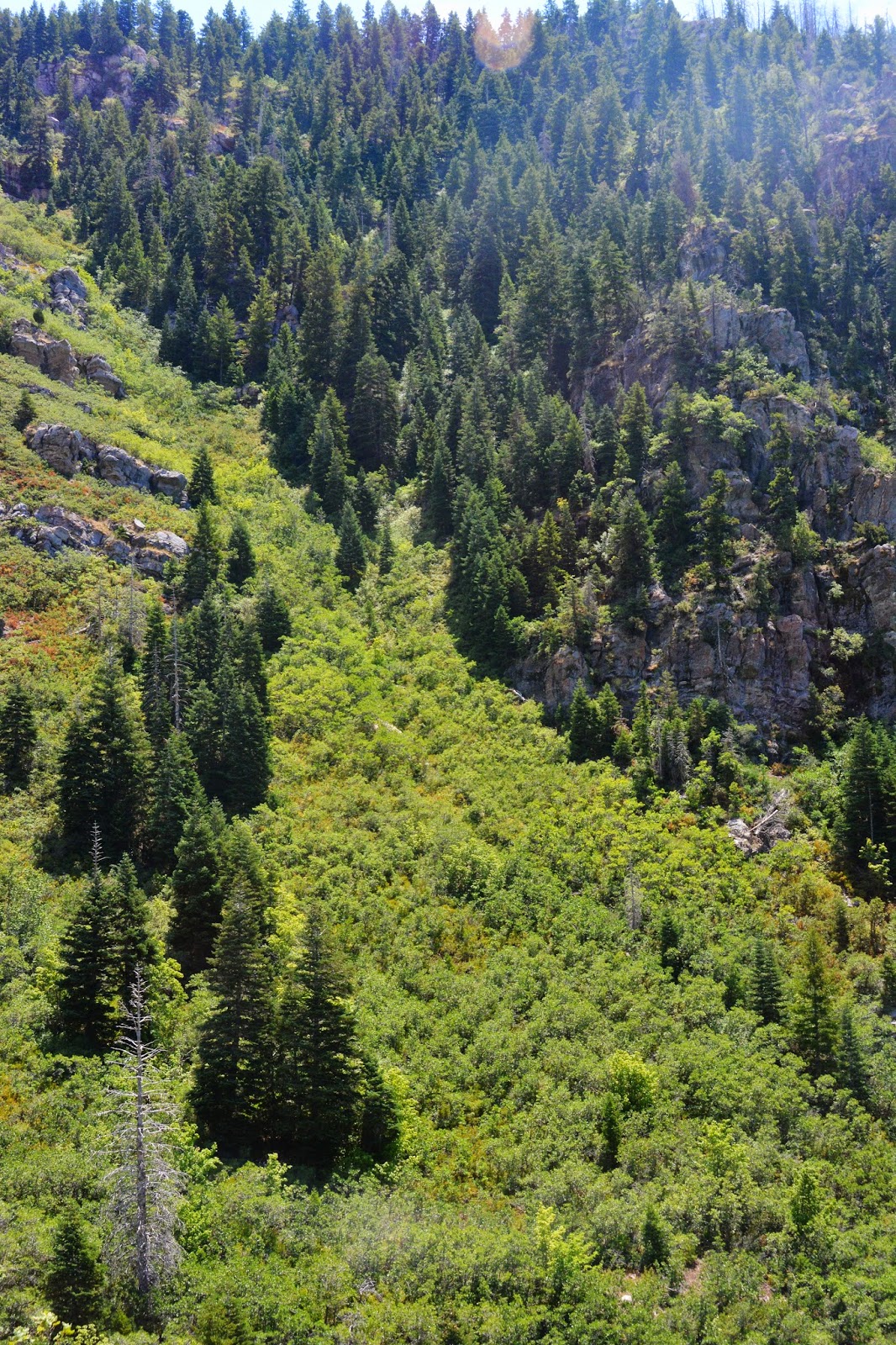
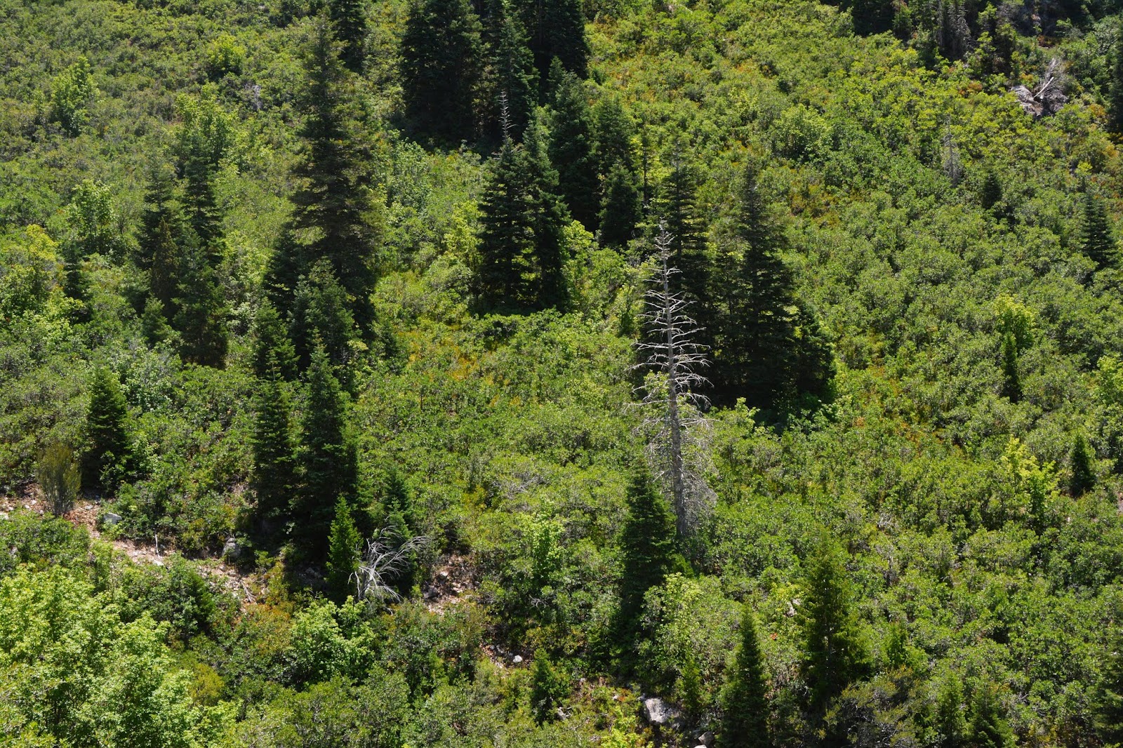
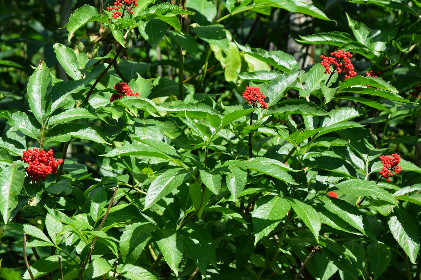
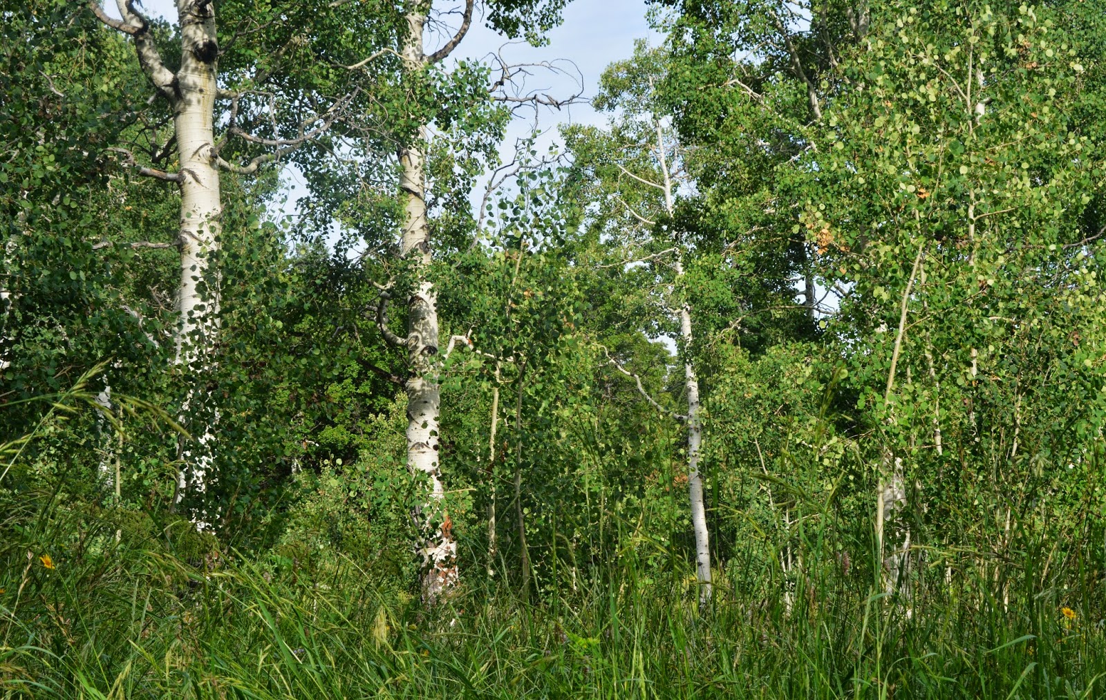
The vegetation becomes lush as we angle down into the gulley.
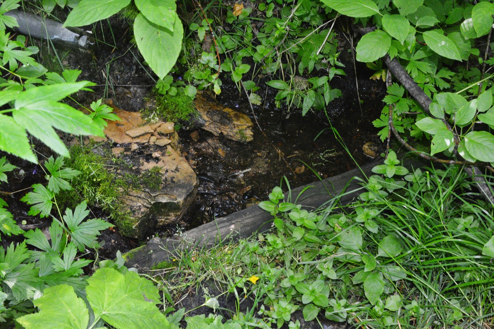
We find the spring that my brother, Marlo, says he found dry a couple of years ago. I hit the SPOT Tracker to pin point the exact location.

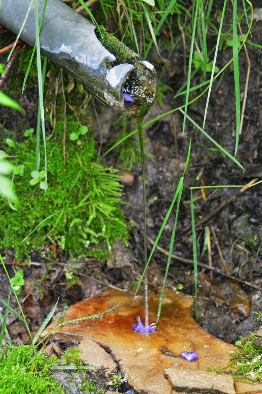
We see that it is a very weak, but steady stream coming out of the pipe
.

Filtering through a slimy, but likely clean, growth of moss.

Like Monks Hood that you might remember from my High Uinta programs.


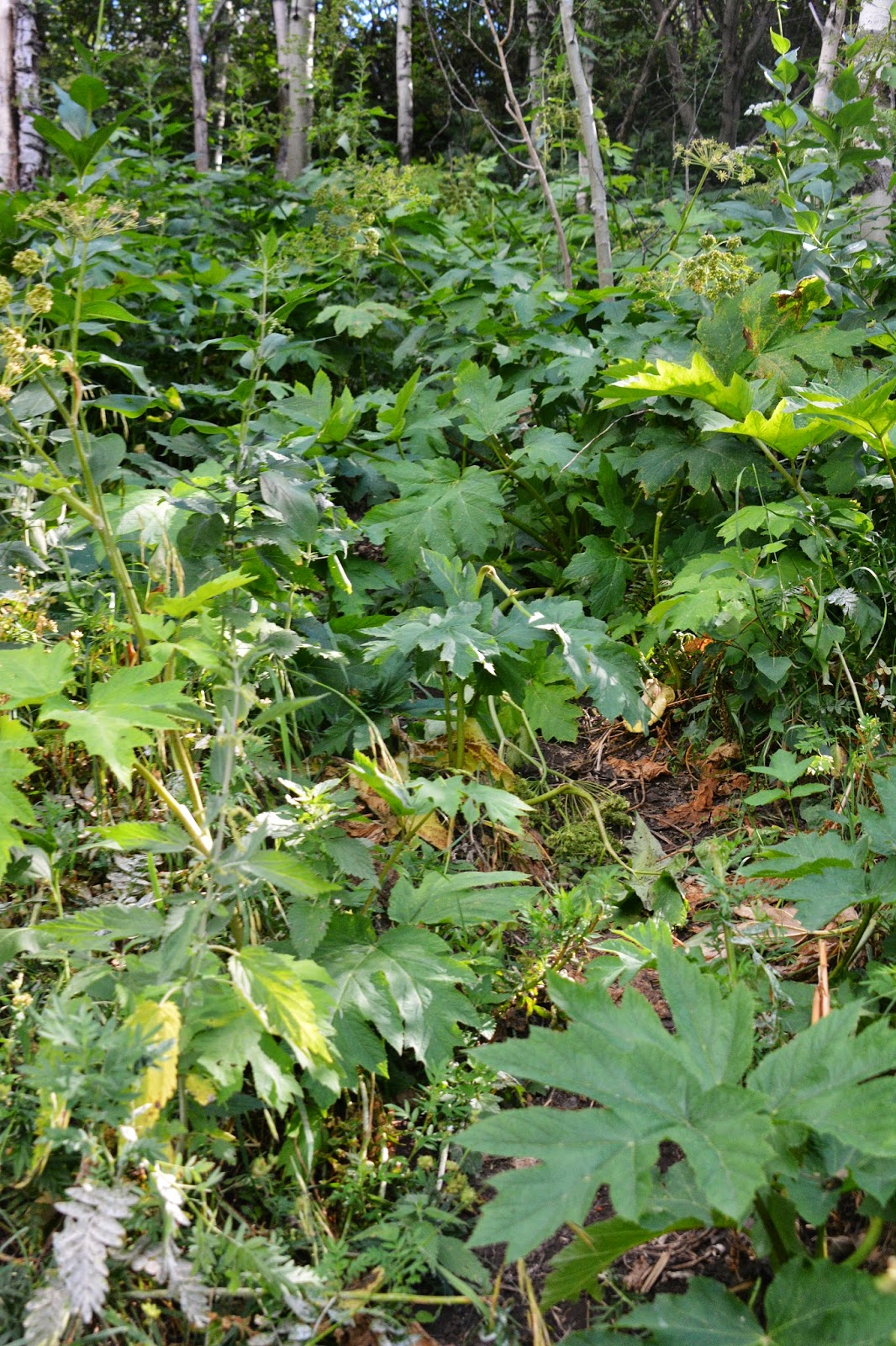
The trail often is unseen, tunneling under the jungle-like vegetation.

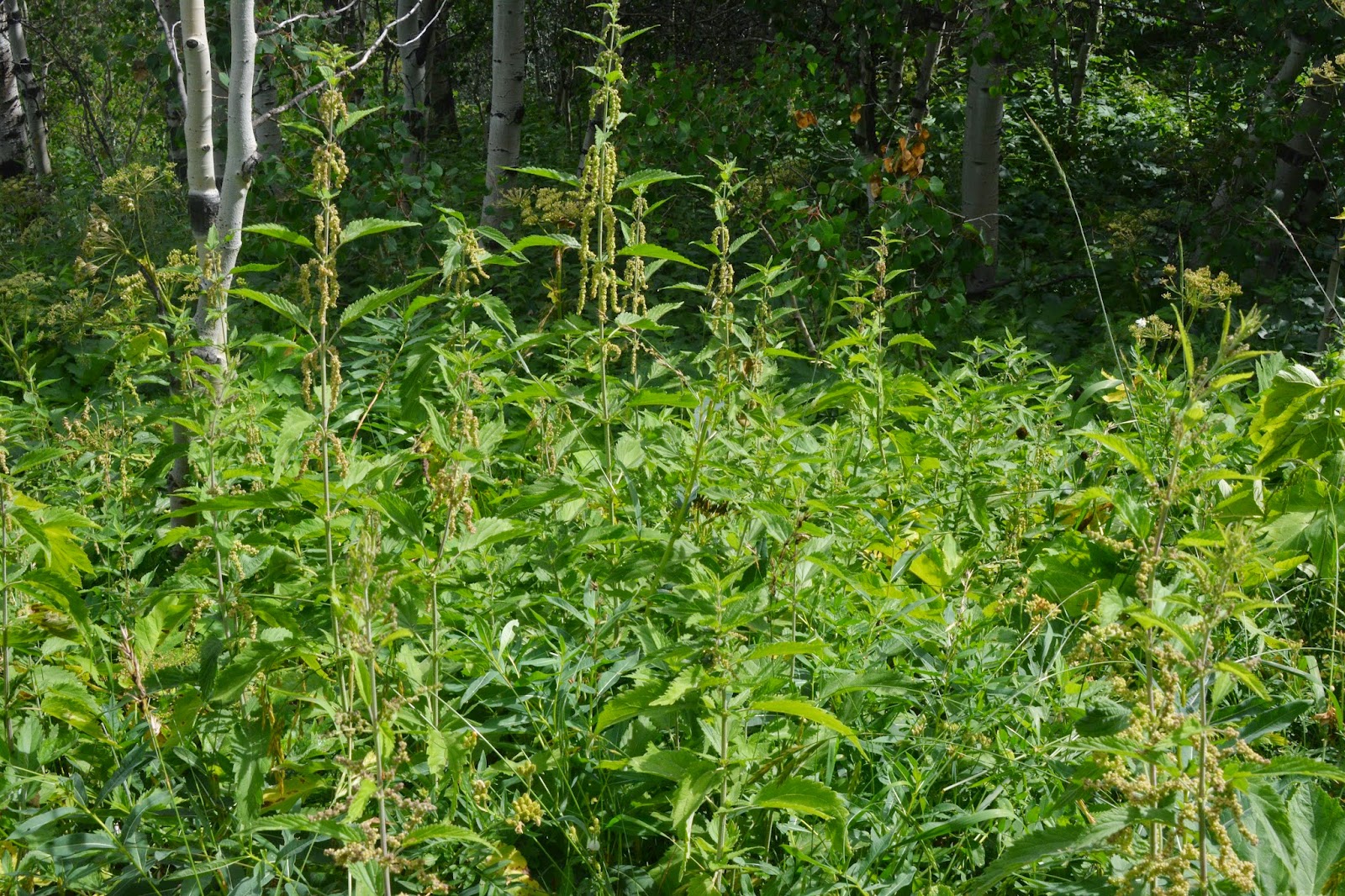
Oh, and did I mention STINGING NETTLE?
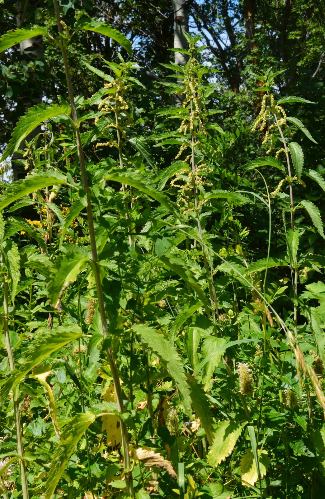
I did in my last photo/essay, but didn’t really show it very well. Well, here it is, and it was everywhere….and I HAD SHORT PANTS! Talk about dumb! This became a very serious problem, to say the least.

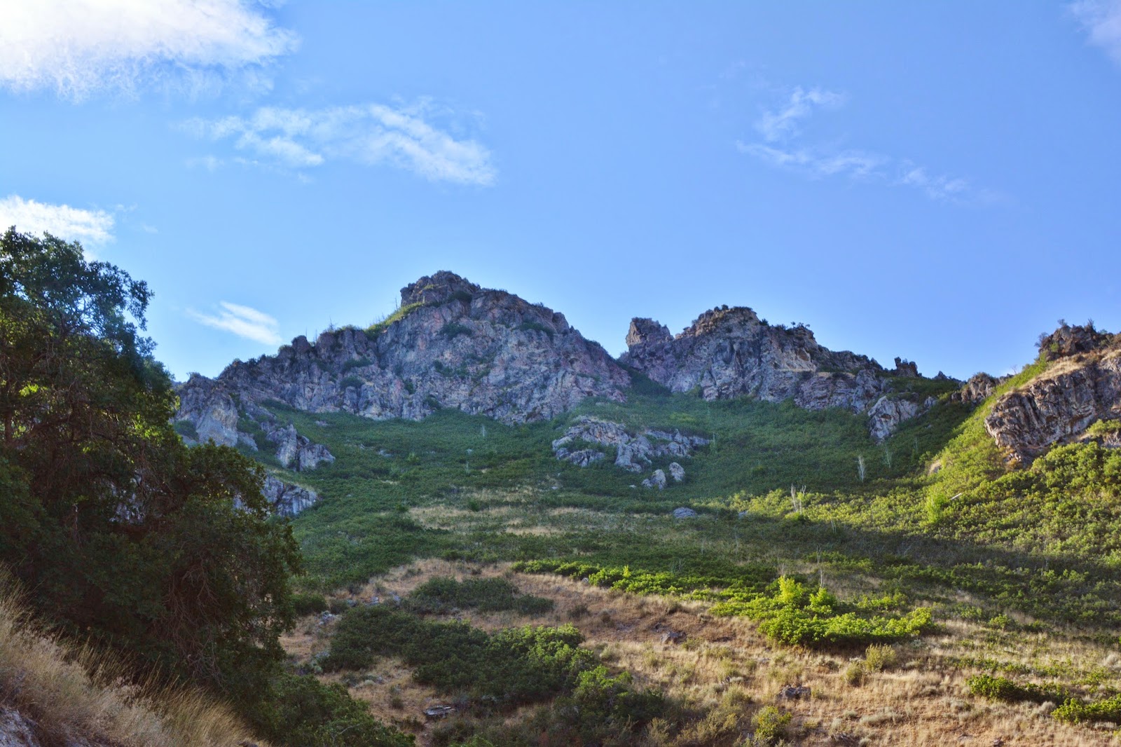
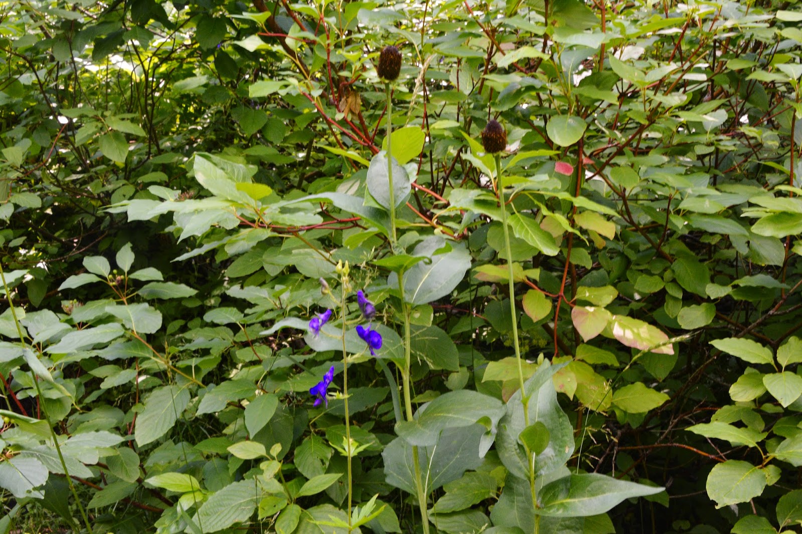
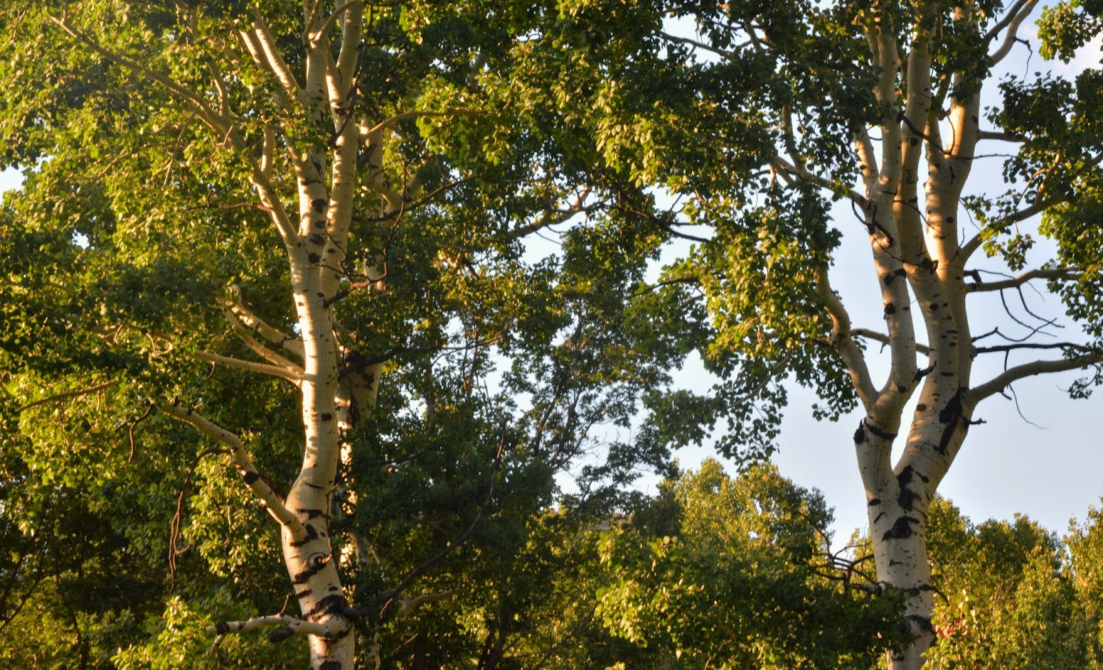
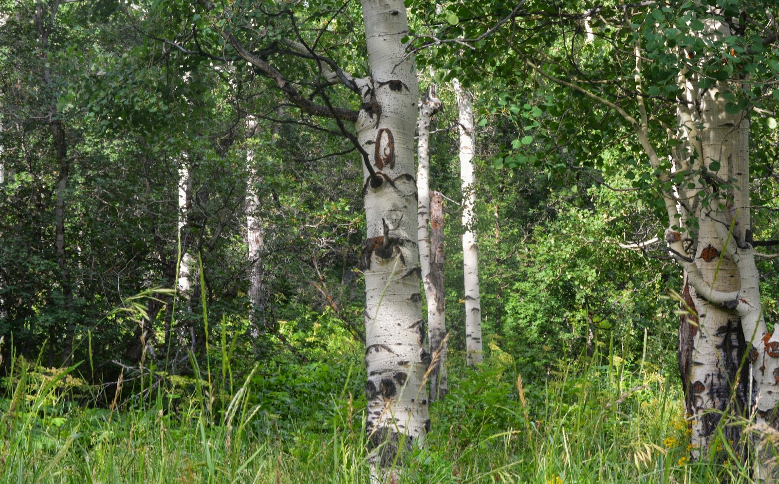
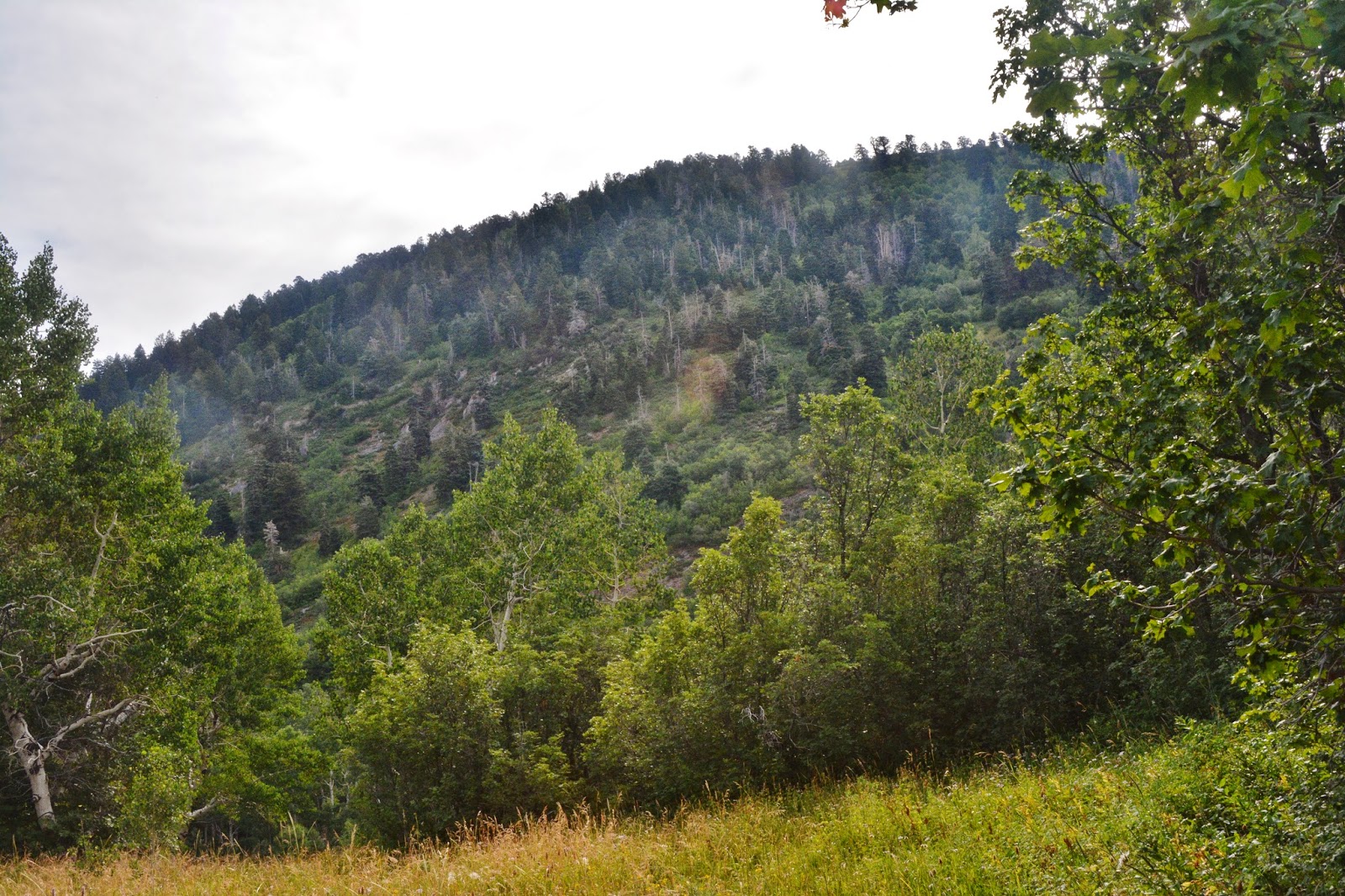
We are coming to Maple Flats, with Maple Mountain rising above it.
I found a spot in the meadow and with a stout stick cleared it of stinging nettle and set up my camp. It was near here, bivouacked on a mattress of straw protecting me from the snow, when I got my very large male coyote on a deer hunt as reported in my last photo/essay.

I hit my SPOT Tracker OK button to pinpoint my camp site and to let everyone know I was doing great.

In the morning, at about 6:22 AM I made my phone report to KSL Outdoors Radio. It was nice being able to listen clearly on my transistor radio and have a good cell phone signal. Sometimes radio reception is difficult in the High Uintas.
After the program I was up to see what I’d be able to accomplish.

This was going to make it difficult, if not impossible to find any features of the Pioneer Timber Slide


This would make it painful…and even impossible to do the exploring I had come to do.

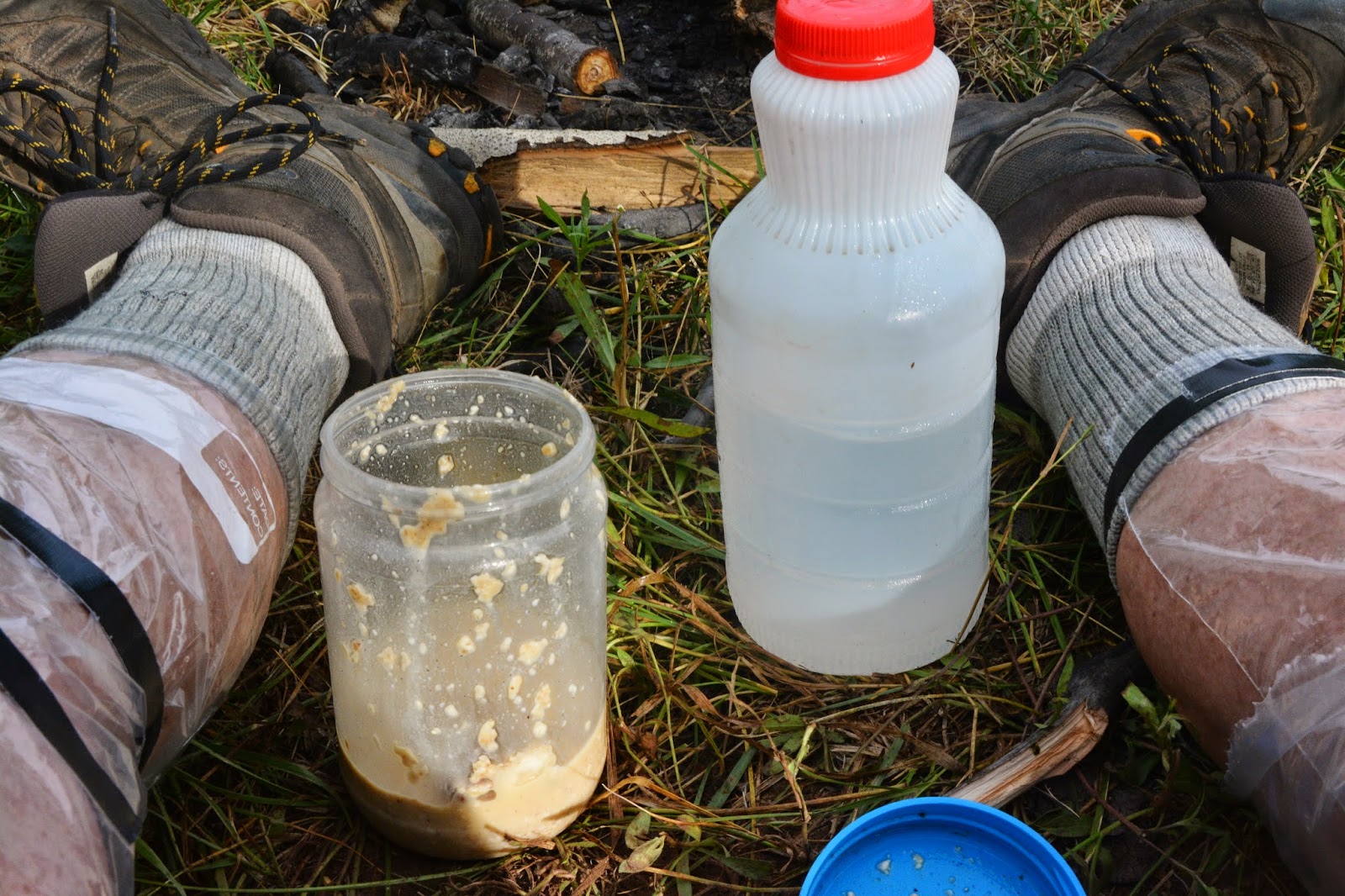
Another of the problems was that after having my breakfast, that I had put to soak the night before, I only had a bit less than 1 quart of water. I would have to be very careful, and likely be forced to go back by the spring and see if I could get enough water to get me down the mountain.
I got a good stick (I needed a machete) and began beating my way up through the stinging nettle and over a little rise that took me to the big meadow, now on the dry, southern portion of the Flats.


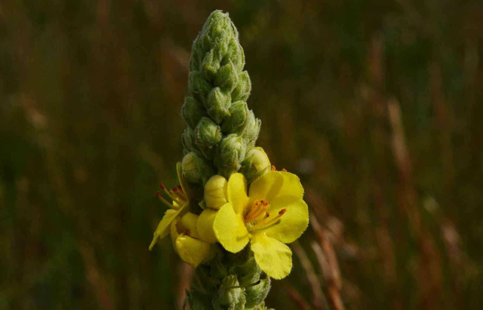


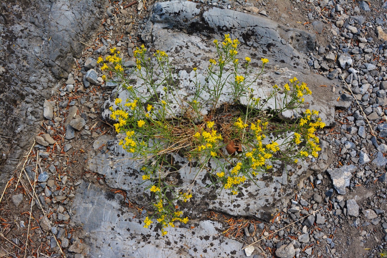
I haven’t been identifying hardly anything, but I have to mention this one, which I was surprised to find up here, as it is commonly a lower elevation plant.
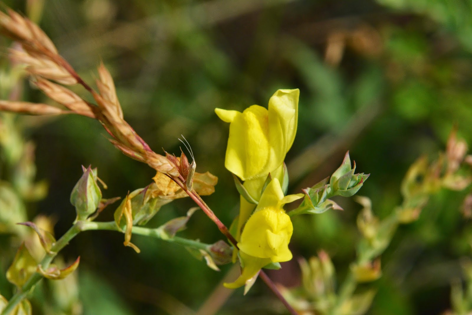
This is a sort of stunted example, but it is
“BUTTER & EGGS”

I walked down to the lower edge of the meadow and hit the OK button. The forest was like a jungle. I decided I would wait for the late Fall with vegetation gone, and leaves off the trees, would have long pants, and a machete….and lots of water as for sure the spring would be dry then.
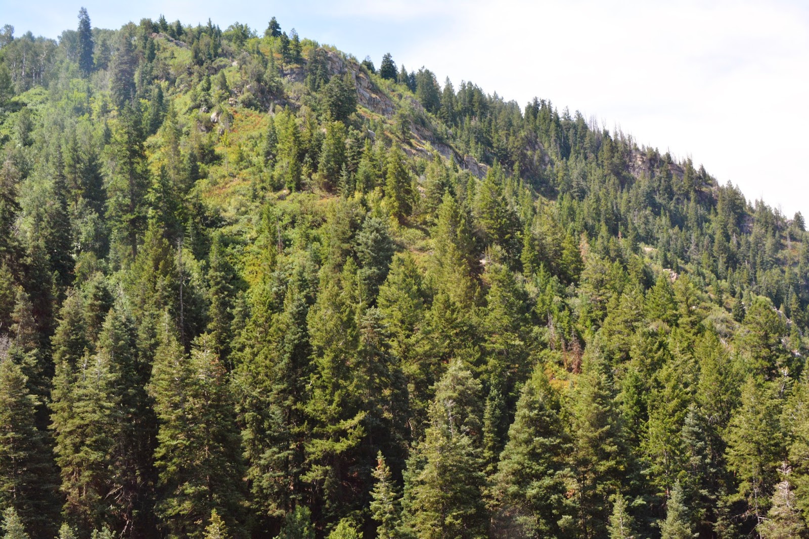
This is looking up at Maple Mountain above the flats. I was too far south for anything of my interest and so headed back where I had come from on the north side of the Flats.

I tried to work myself into the forest that covered a hill I had to climb to get to the other side and hopefully find what I was after….but it was hopeless, and my leg protectors didn’t last and I was out of tape. Even a day later I still have a few spots of stinging on arms and legs..

. From where I had got to I headed cross country hoping to find the spring, but it was thicker than any jungle I had ever seen in Guatemala, and taking the course of least resistance I got too low, missed the spring, wore myself out, and had the tender skin on my arms bleeding scratches all over….but eventually found the trail and headed down without getting any more water. I would have to be careful and make do what remained…maybe half a quart at most.
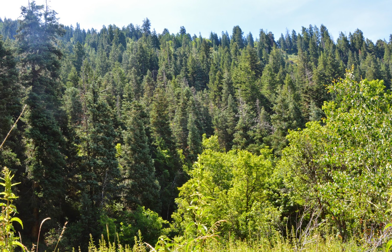
The forest was in one way very impressive. I couldn’t see any sign of the Pine borer beetle that is devastating some areas of the High Uintas.
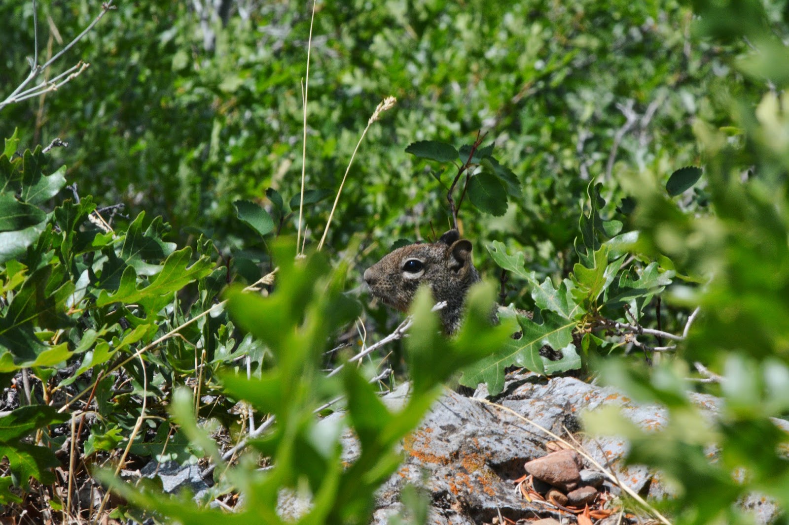
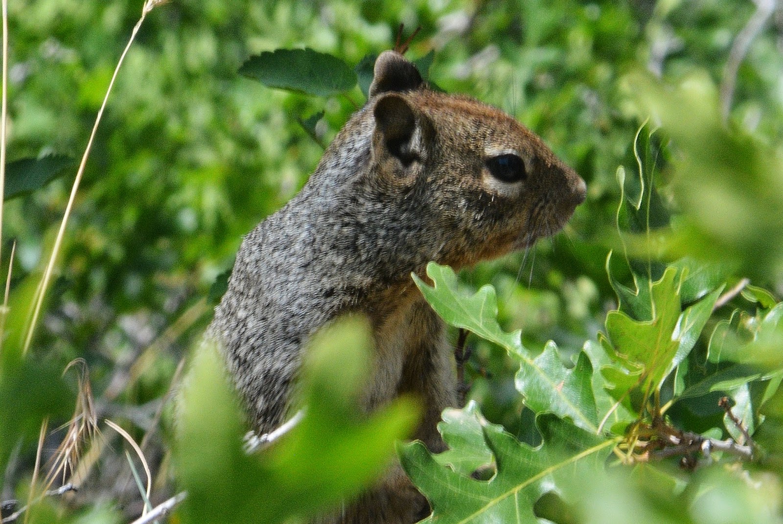
While resting down the trail…..I sensed I was being watched, and….wouldn’t you know it I was being spied on!

Itr was a rock squirrel and I waited him out hoping to get a shot of his beautiful bushy tail, but no luck.
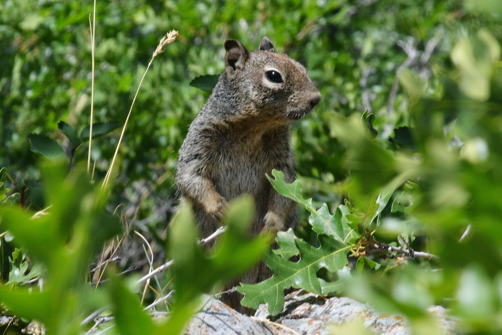
But did sneak up on him some…..
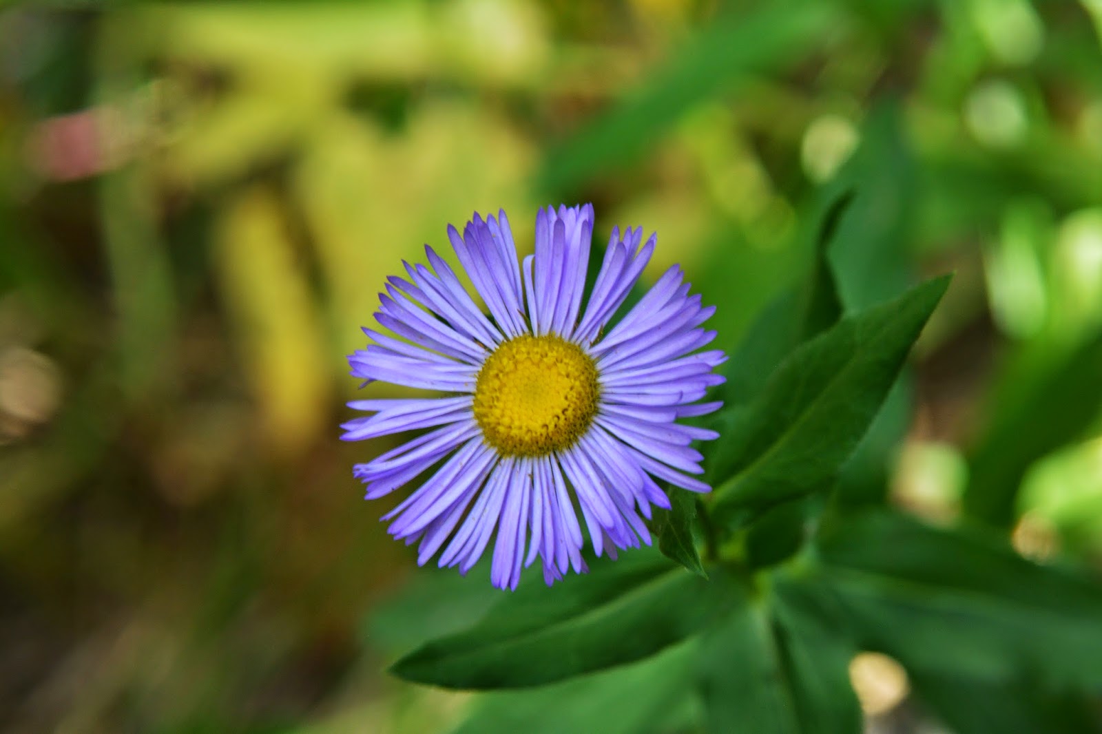
More wonderful VISIONS OF NATURE……..

another rare flower I didn’t get a shot of on previous trips….but with this one…..
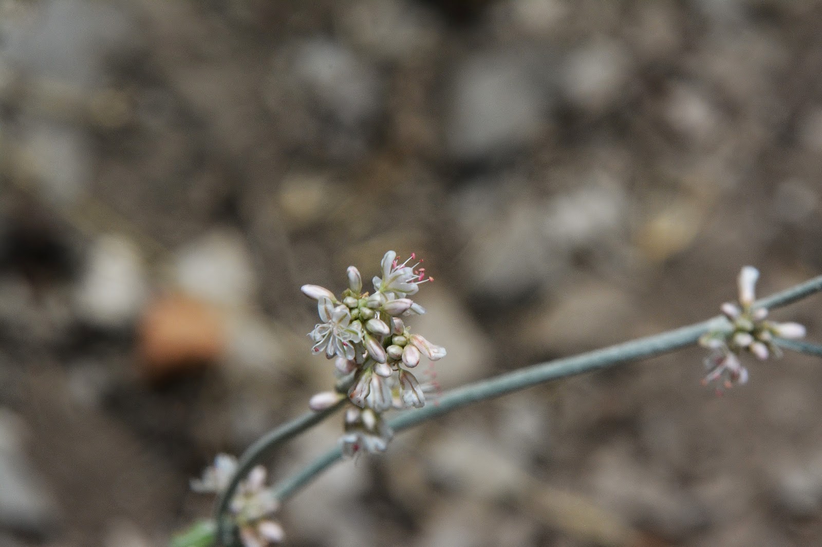
I had zoom in to show you I’m not crazy…and that it really is a wildflower. Next time I’ll put the closeup lens on and blow up just one of the gorgeous little flowers.


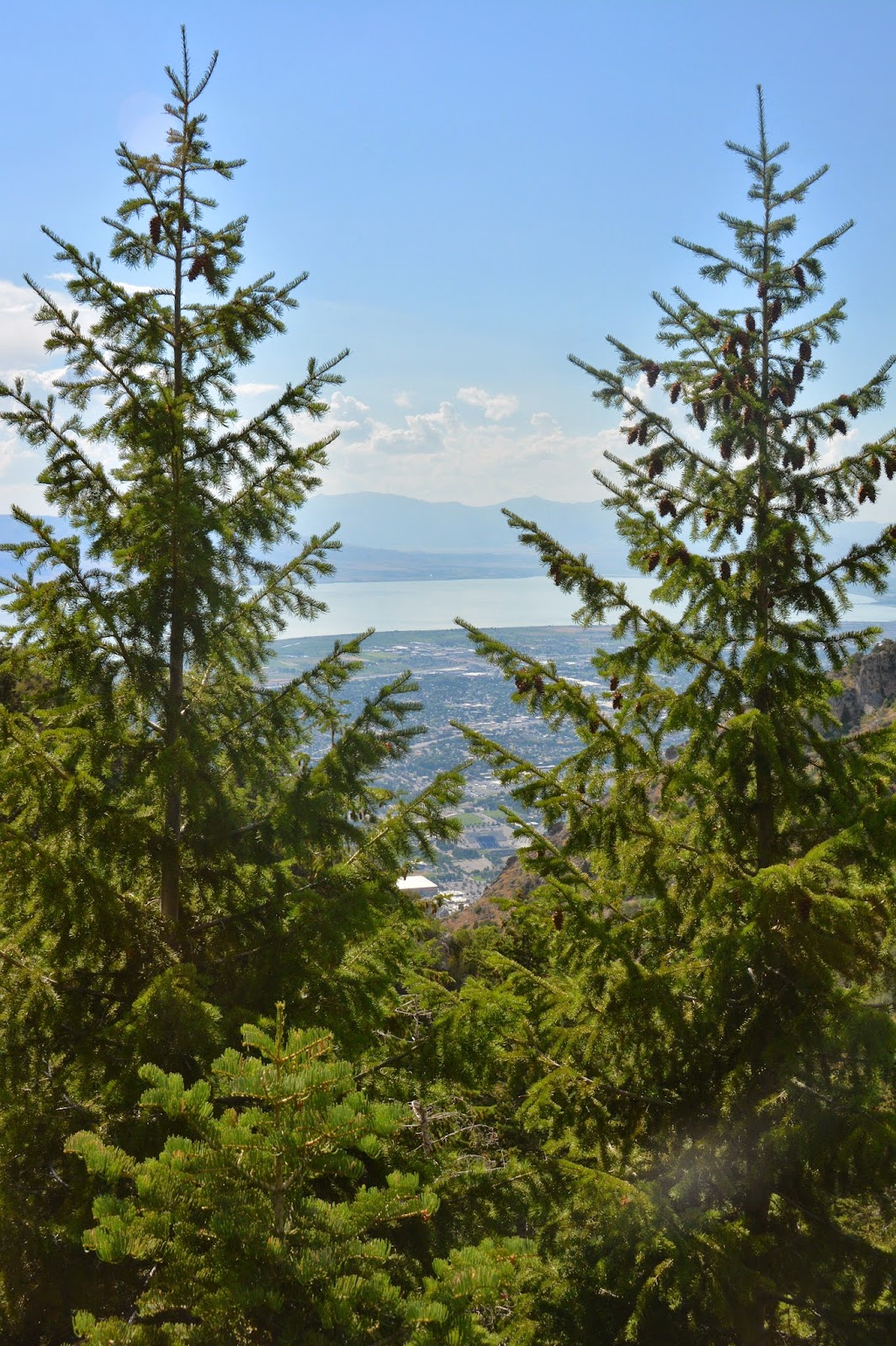
Soon I was down past the Y seeing the beautiful parade of hikers coming up our wonderful mountain.

By then my water was long gone…and zooming in on the Seven Peaks Water Park…had me picking up the pace and getting quickly to my car and what would be warm, but wet water…..and soon an ICE COLD MOUNTAIN DEW!
I didn’t hit the SPOT Ok button until getting to American Fork completing the SPOT Tracking. This is what you would have seen if you had gone to my website and got the link to the SPOT website. I’ve added the titles.

This is the topographical view from the National Geographic CD/Rom, showing I had done a bit over 9 miles, with around 3,000 ft. of elevation gain in the approximate 30 hour hike.
I will be doing research on the Pioneer Timber Slide in the next couple of months, and explore the lower portions of the pathways I’ve shown you and see what I can come up with, and hopefully in the Fall be back up there in hopes of finally having a clear picture of what had to be a very hard and difficult pioneer effort to have the lumber they needed to create Provo, Utah.
Again, just try and imagine a V shaped slide, like the Hilliard Flume I have reported on from the Uintas. The flume carried wood products 30 miles into Wyoming, the water carrying the ties and logs at 15 miles per hour. This timber slide or slides, several miles long with 3,000 ft. drop in elevation, worked how? Could they just have turned logs lose to make the wild dash to the bottom? Incredible speeds and power would have been achieved.
Any help to understand this history will be appreciated, and how
about some old photographs, or sketches?