I will be leaving early Friday for this trip that was impossible early in the season.
Trip #6 Aug. 12-15 Crow Canyon–Dry Gulch Basin--the smallest drainage in the Uintas and last for me to explore. This basin has difficult access and does not receive much recreational use. Crow, DG-6, DG-9, DG-14, DG-16, and DG-17 Lakes. Several of these lakes are quite remote and right at timberline…………………………………………………. =..3-4 days………..12-15 miles
Click here to see the Topographical route map and Elevation Profile
SPOT Tracking of Trip #6
Podcast report on KSL OUTDOORS Radio Saturday 8/13 from Dry Gulch at about 6:35 a.m.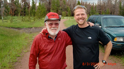


Podcast report on KSL OUTDOORS Radio Saturday 8/13 from Dry Gulch at about 6:35 a.m.
Your friend and High Uinta friend, Nick Gough .

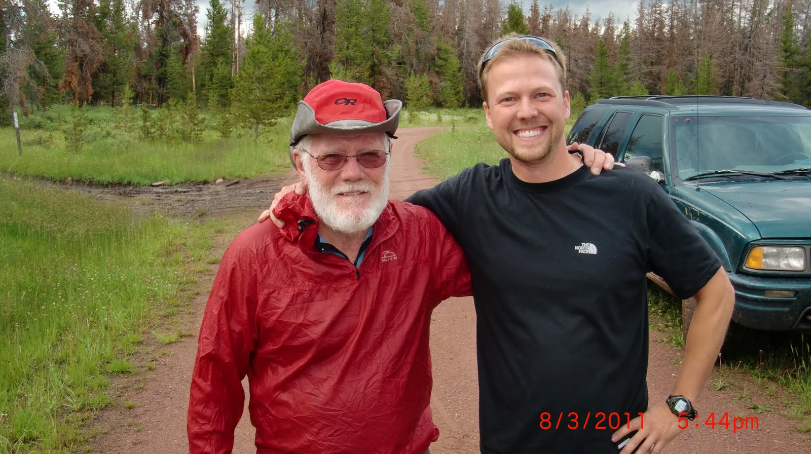
Nick is second from the left. On the far left is Matt Jenkins, then to the right, Scott Jenkins and Andrew Larson. They will be coming out today, Saturday, August 6th, and get me their report that I will post here.
NICK’S REPORT ON THEIR BACKPACK TO BALD LAKE followed by his photos
Email report from Nick:
Cordell –
Great information on the tie hacker culture. I think its fascinating stuff. Heres my Bald Lake trip report for 8/03 – 8/06/2011:
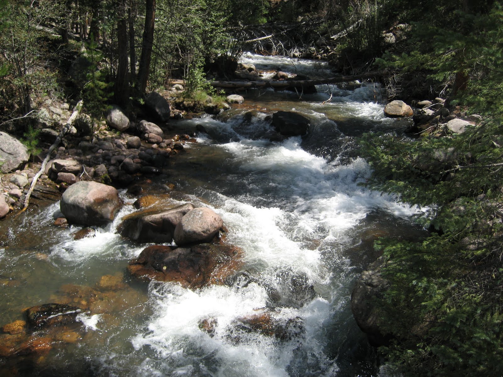
The “trail” going in was in very poor condition, in most cases it would just disappear once we got going on it. Luckily its easy to just keep pushing South-West towards bald mountain. The wet season this year, coupled with all the cattle in this area made for a boggy hike most the way. The bushwhack from Highline trail to the lake itself, was surprisingly the best part.
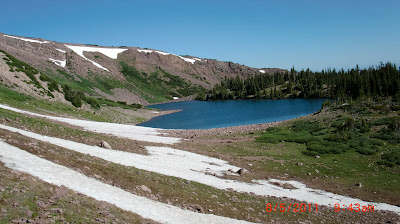
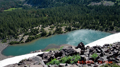
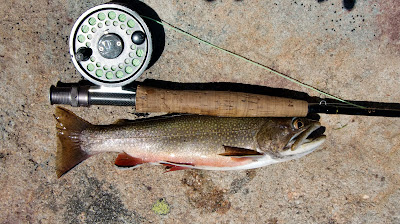
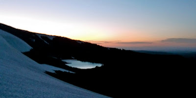
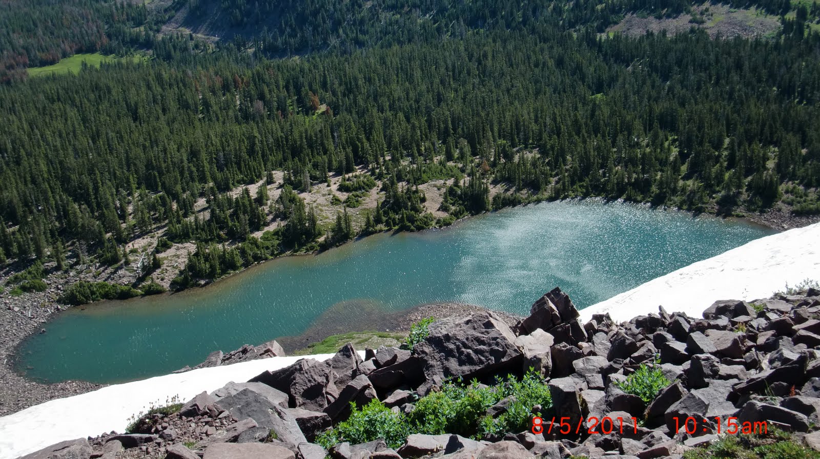
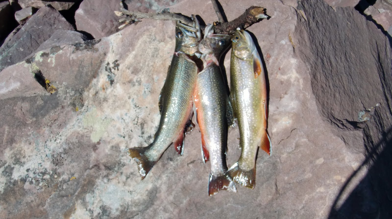
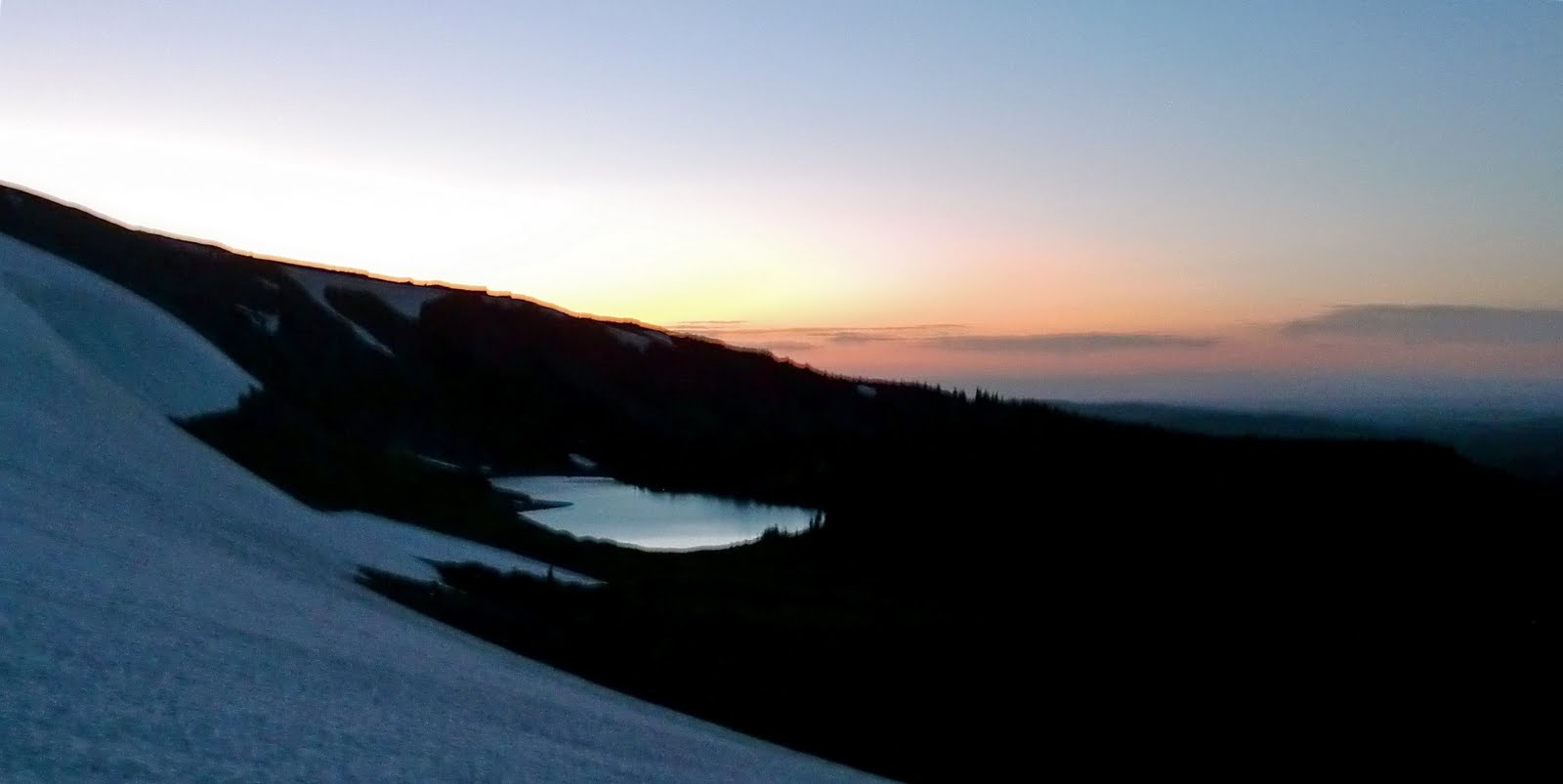
We had the lake to ourselves for two full days, which was amazing. Theres a great secluded campsite that I learned about from Nick Wooleyhttp://backcountrypost.com/ on the South East side of the lake. Fishing was fast for native Brookies. Nothing over 11 inches though. Huge snow banks are still covering the face of bald mountain along the top, including some snow fields on the south side of the lake, which we day hiked across to reach the top of 12,000′ Bald mountain from which we clearly viewed the Red Castle lakes area, along with Mt. Powell, Flat Top Mountain, and Tokewanna Peak.
Aside from getting hailed on briefly a couple times, the weather was incredible the whole time, with sunny skies and just enough wind to keep the bugs down. We saw all the tie hacker cabins along the way, which was very cool. Thanks for the information that made this trip a great success!
Cordell –
I did see the photo and mention of my group! Thanks for the recognition. From left to right: Matt Jenkins, me, Scott Jenkins, Andrew Larsen. We go on a trip together every year. Last year we got snowed on in the Wind Rivers, so this was a great way to redeem ourselves! Thanks for all the great information on your website. It truly is an inspiration and motivation for me to get out with friends and family more.
Nick


Thanks, NICK, for the report and the beautiful photos. Be in touch.