Click below for:
Previous post….
Previous post….
Alternative Backpack: MOVE FROM UINTA RIVER TO LAKE FORK/MOON RIVER TRAILHEAD TO GET TO TWOROOSE PASS….met Cale & Tyler….STOPPED WITH A PROBLEM UP THE TRAIL...
PHOTO/ESSAY:
Previous effort to get to Little Andy Lake
Posted August 2nd
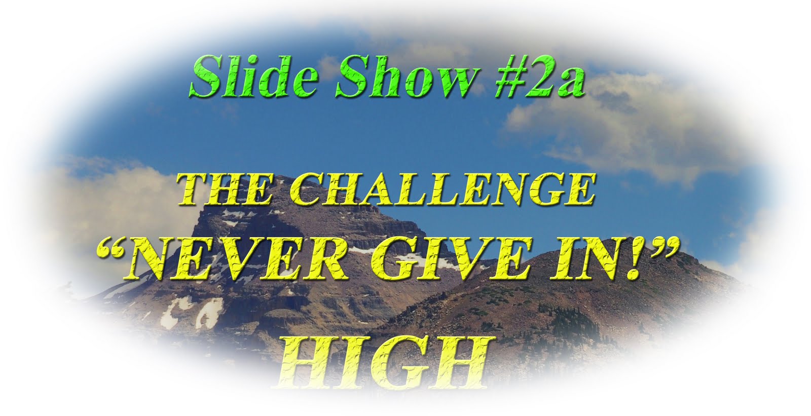
Don’t give up on me….but make sure and go through this all the way to the SURPRISE ENDING!……UPDATED 08/03/15
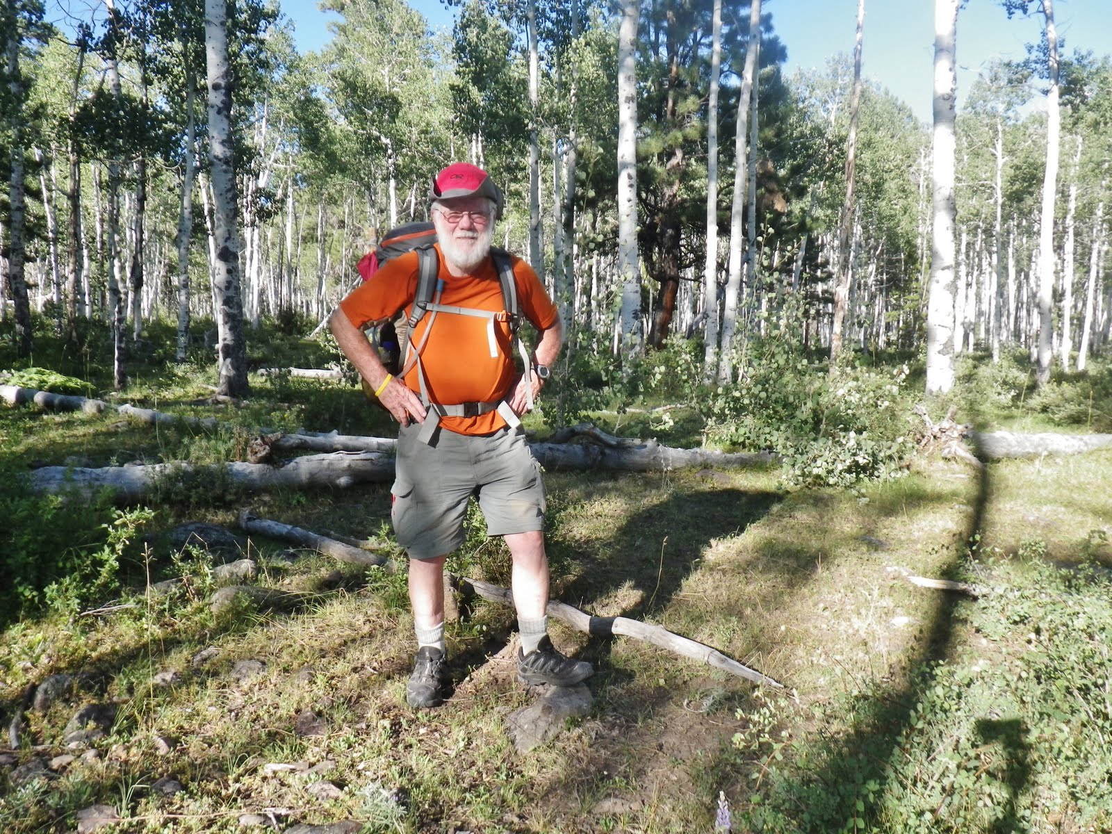
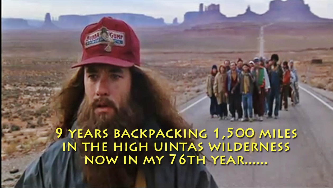
This backpack (#2-2015) was considered “essential” to the High Uintas Wilderness Project. At the same time it was to be up what some of us consider the “most difficult trail in the High Uintas,” illogically left for the tail end of the project when I am in my 80th year!
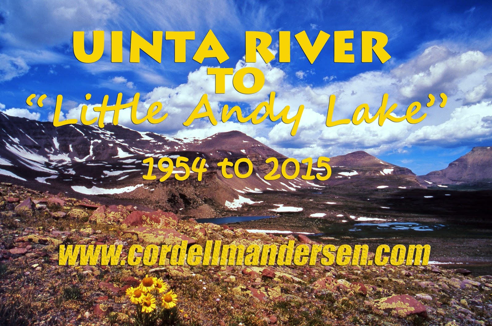
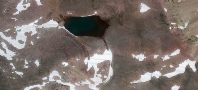
In a sense the overall objective, and final destination of the backpack, was sort of self-centered as it was to get to, photograph and report on a tiny no-name, no-umber lake I had given my nickname as a youth to.
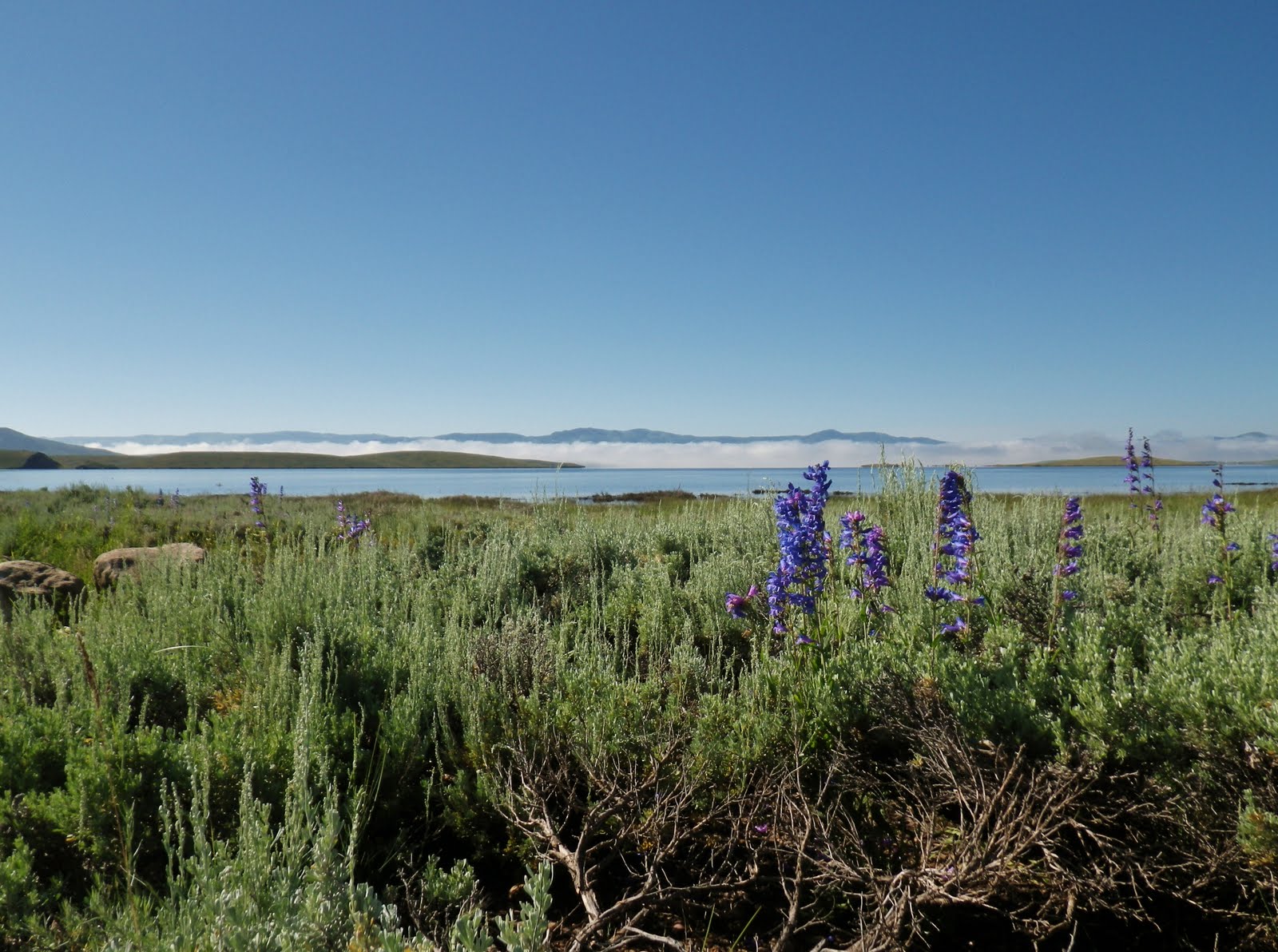
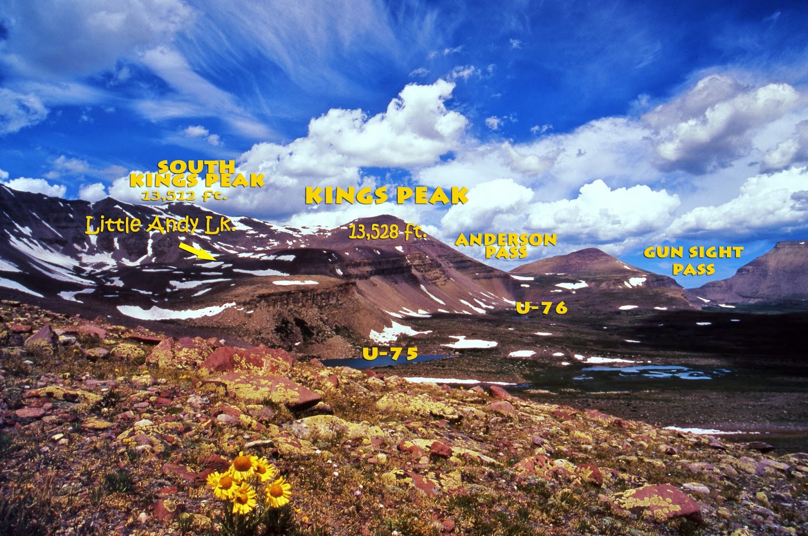
Little Andy Lake is nestled humbly in the shadow of Utah’s elite mountains–Kings and South Kings Peaks
In 2014 my friends on KSL Outdoor Radio suggested a lake be given my name. So, just as a humorous exercise I did so, but using my youthful nickname, and purposefully choosing a lake I figured no one would care about or object to.
This tiny lake in the east shadow of South Kings Peak is unique as it was slightly above 12,000 ft. in elevation, and on Google earth actually looks large enough and deep enough for the DWR to consider air-dropping a few Cutthroat or Golden trout into.
But, I had to get to it and give it a little publicity….thus…
Backpack #2-2015: Uinta River to Little Andy Lake.
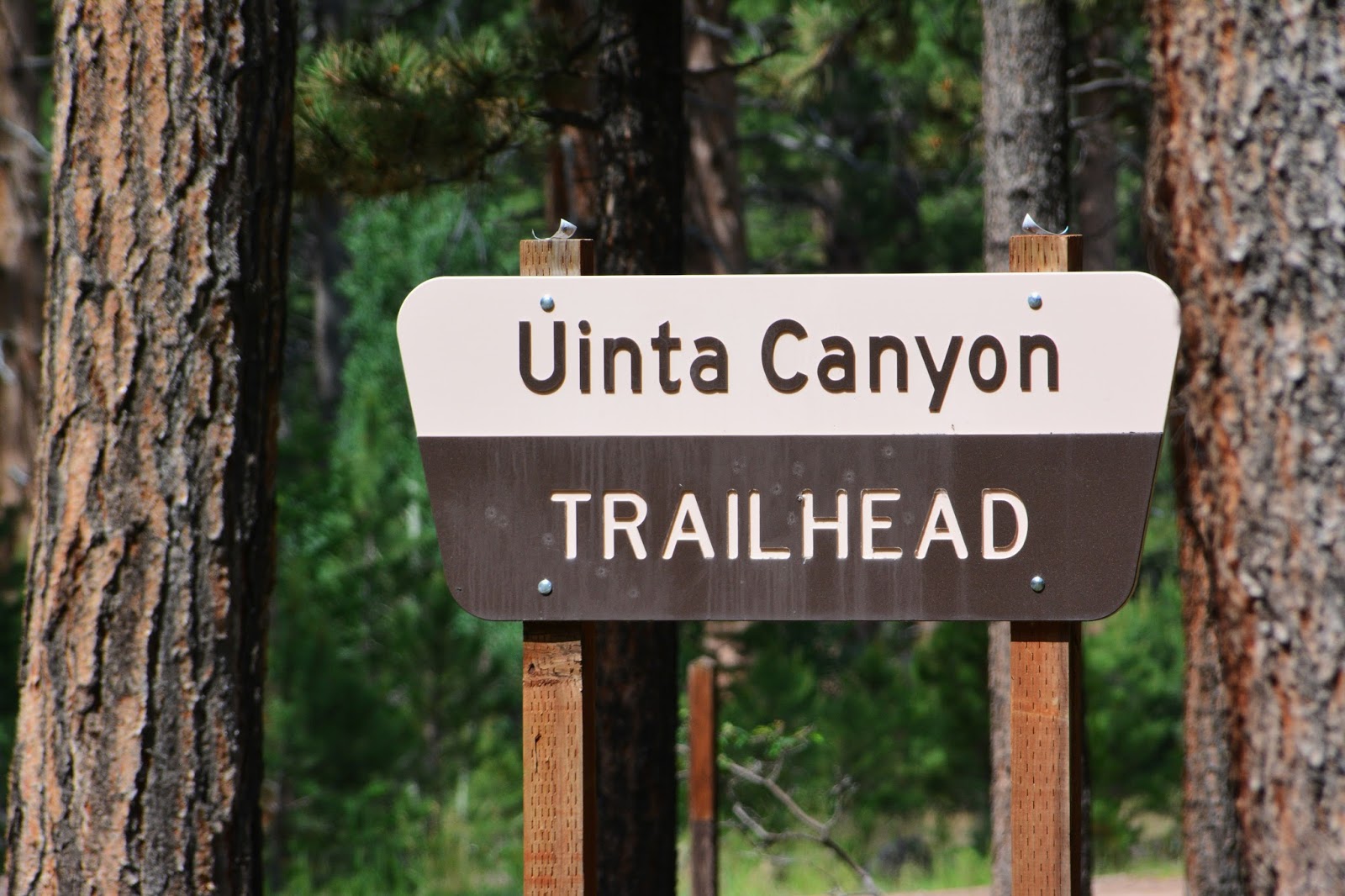
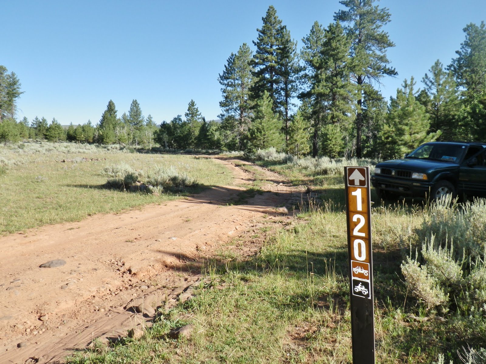
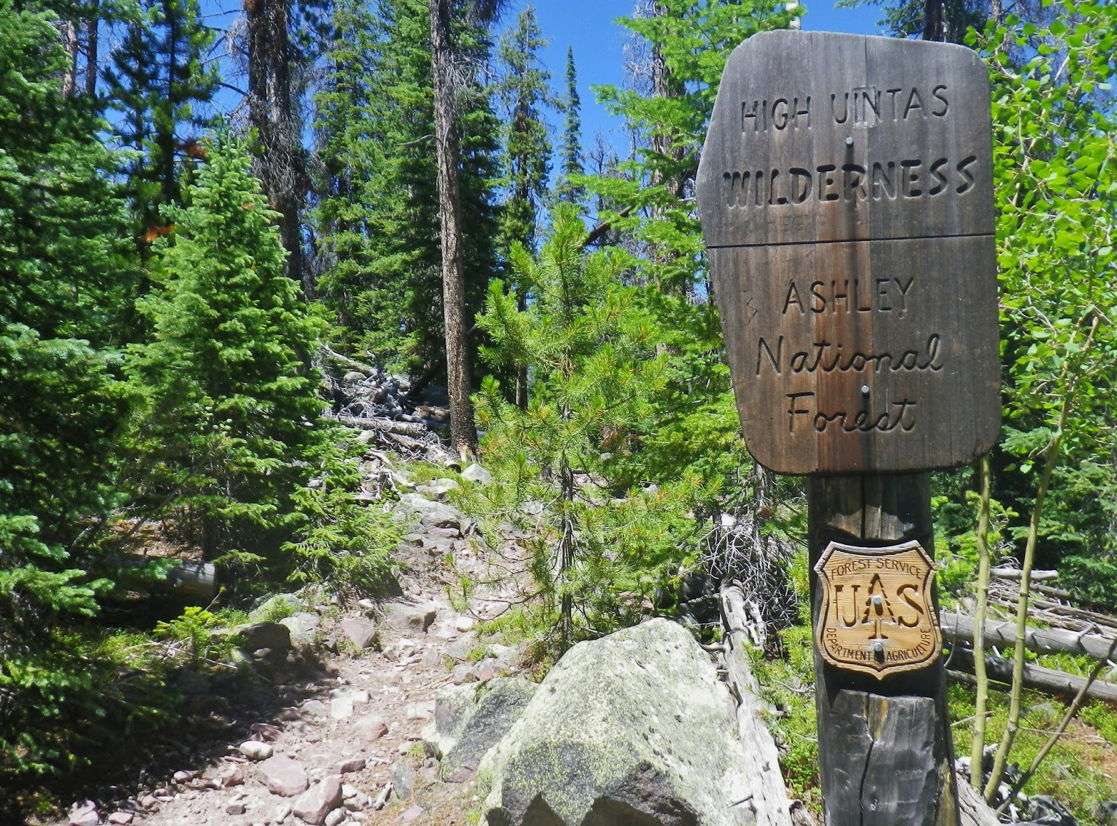
The backpack begins at the Uinta River Trailhead, 26 miles north of Roosevelt, Utah on the Uinta’s South Slope.
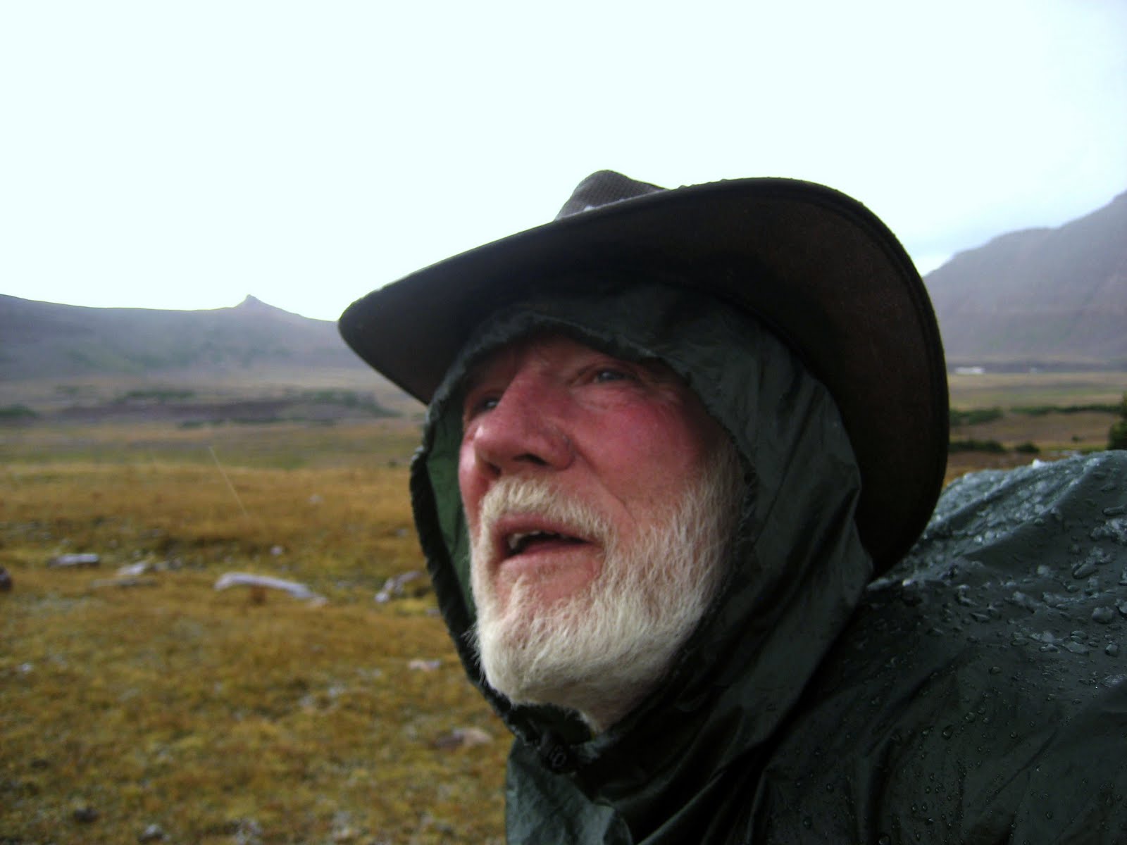
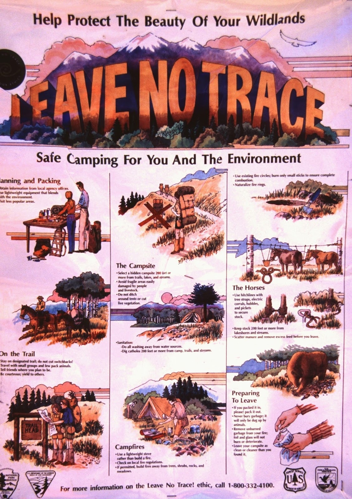
As at all Trailheads surrounding the High Uintas, we are constantly reminded of the FIRST LAW of our Wilderness Areas and I want to DO MY PART…so….
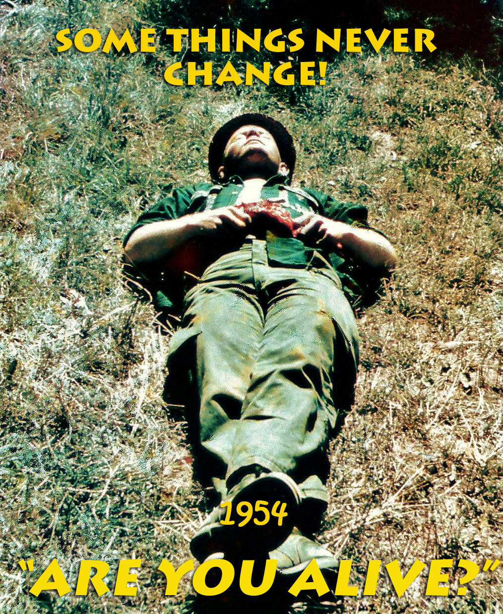
As you will notice in this photo/essay we will here and there reminisce about the past….as it was at this Trailhead where in 1954 me and buddies, Ted Packard and Charlie Petersen, returned to civilization after a 15 day crossing of the then Primitive Area, having backpacked from the Grandview Trailhead and the Grandaddy Basin far to the west.
1954
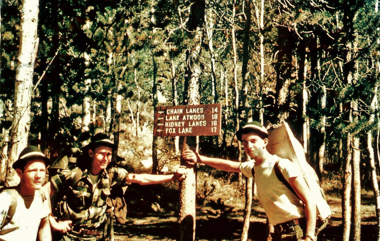
2015
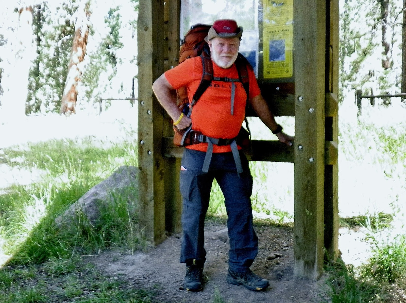
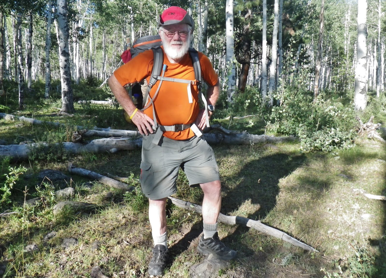
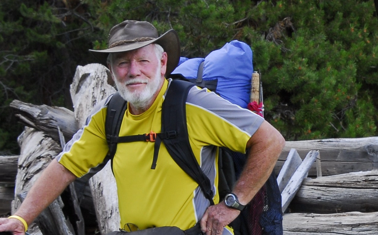
Here I am again, 61 years later, this time ready to go up that very difficult trail, having worked hard to get my load weight down by leaving home my professional photographic equipment, Colt .45 Defender, and more. It would be a long 8 day trip, coming to around 50 miles, including climbing two passes–TWICE, and involving thousands of feet of elevation gain.
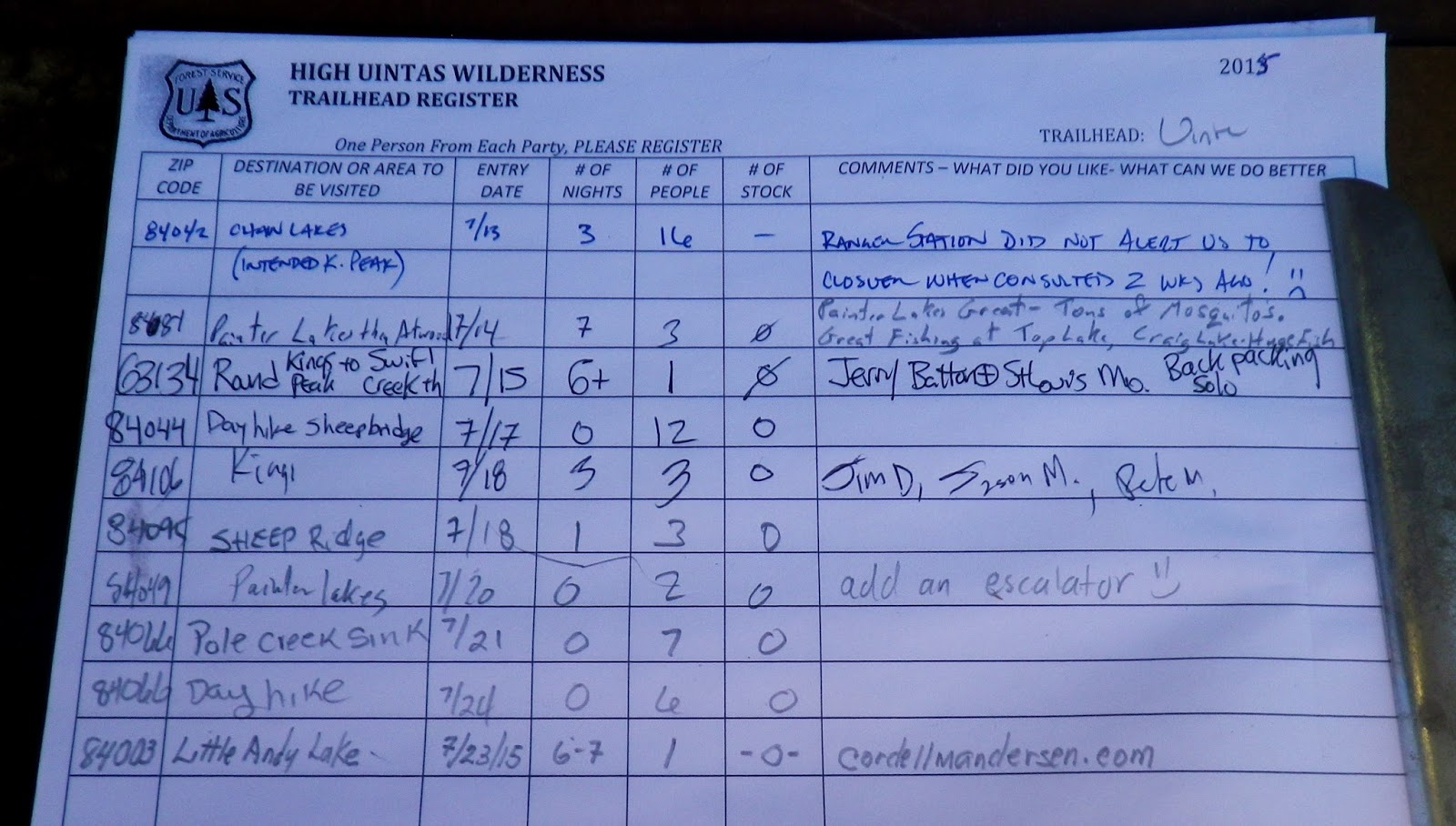
I signed in the register indicating it would be a 6-7 day effort, but had actually planned for 8 days.
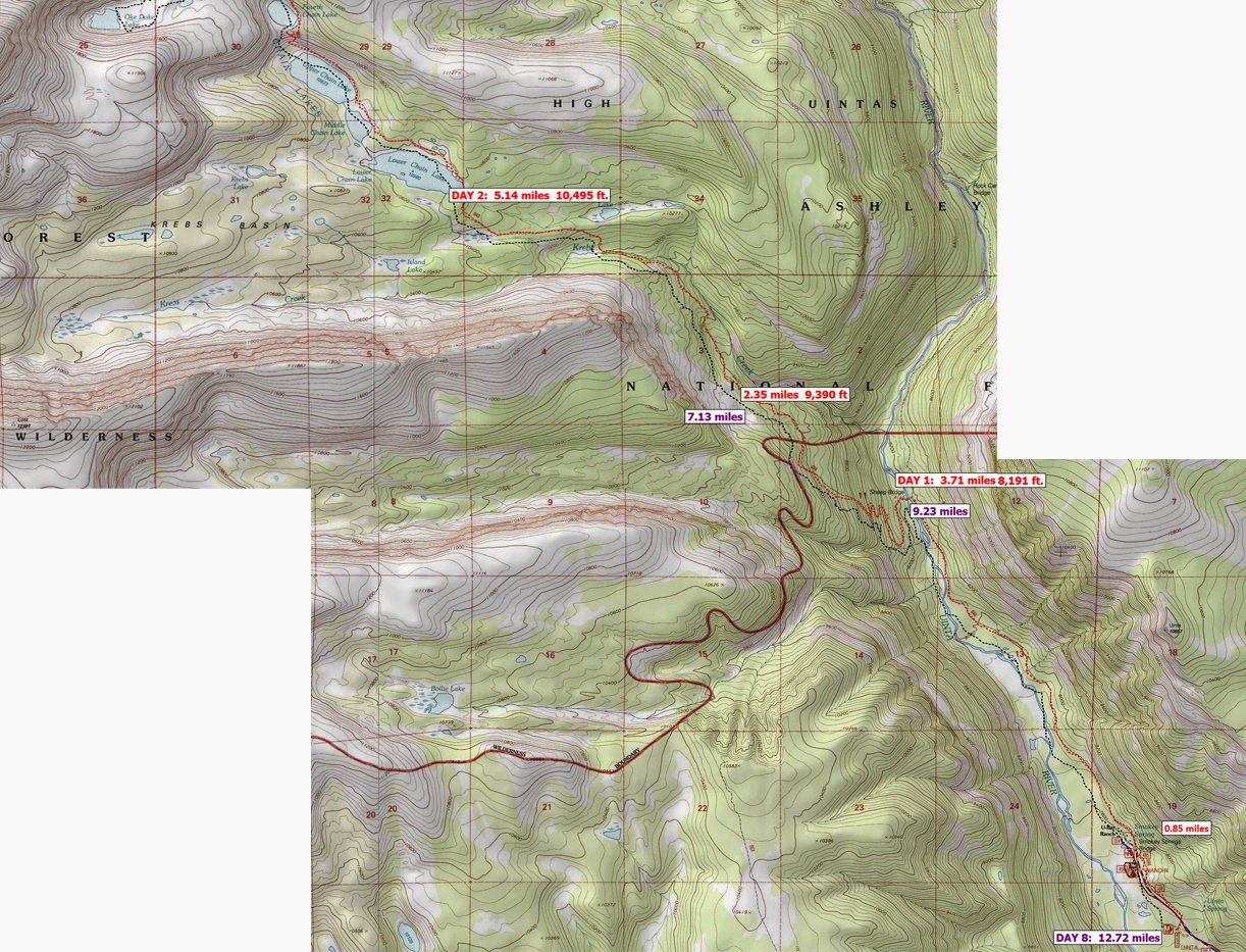
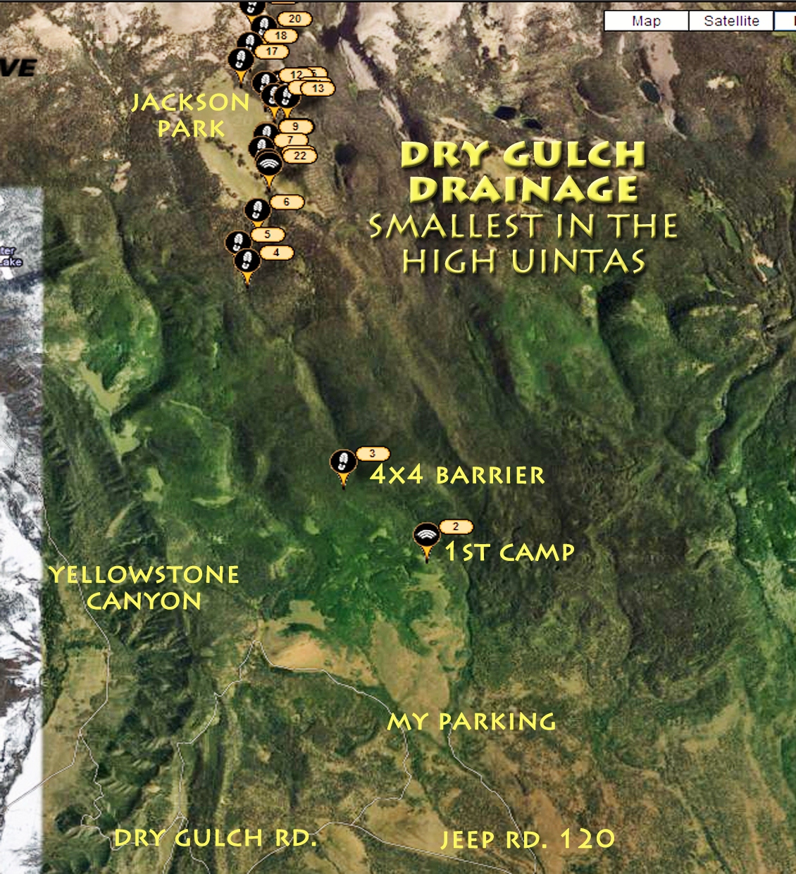
Above you see my topographical map showing the first 2-3 days. I knew it would be difficult, but hoped that by beginning with what was do-able–4 miles the 1st day getting to the bridge that crosses the river and then stopping–no matter how good I felt, or how early it was. Then counting on being able to increase the 2nd day a mile and doing 5 miles camping at the Krebbs Creek crossing…..actually 1/2 mile short of Chain Lakes.
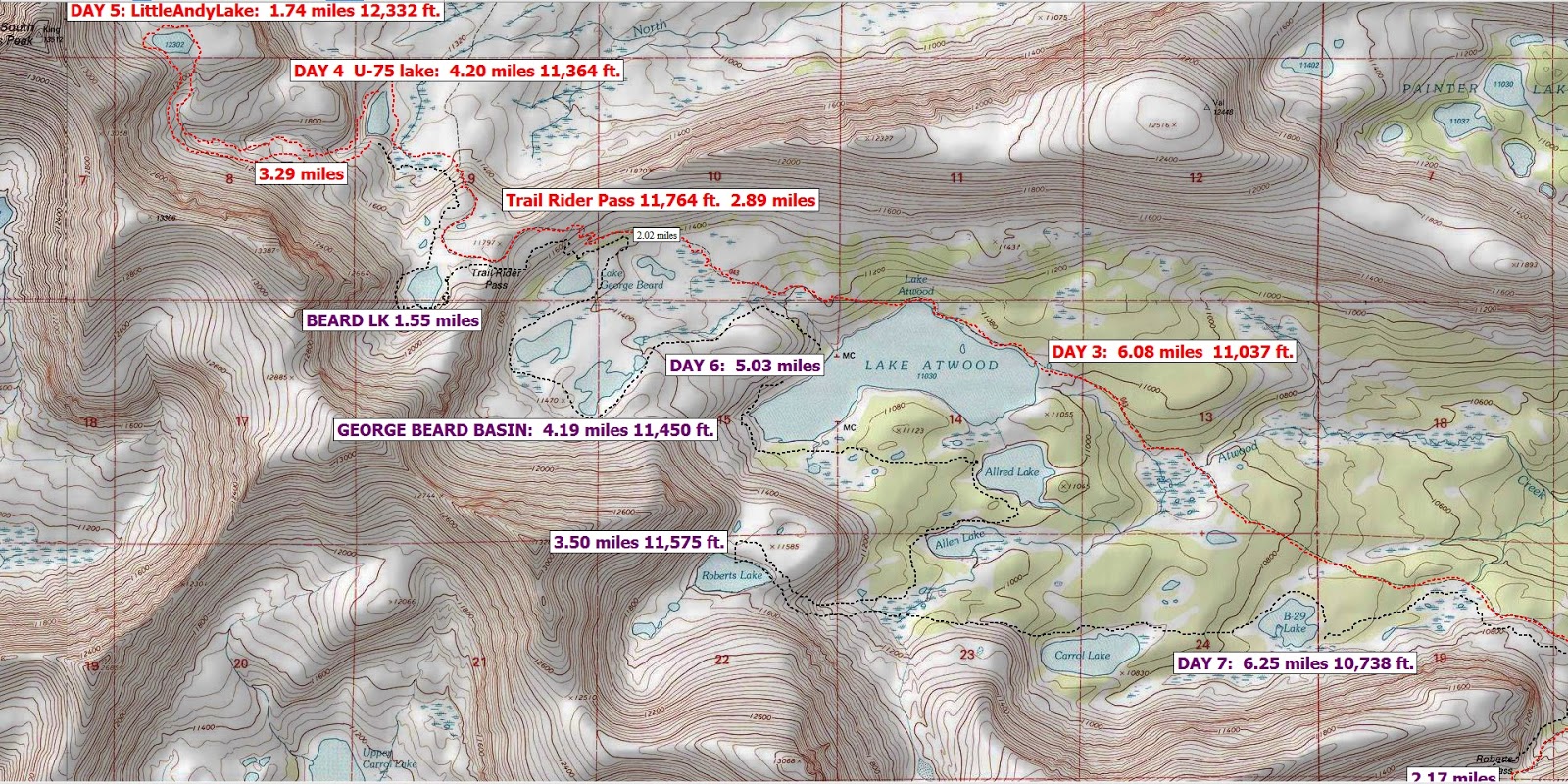
The 3rd day would be 6 miles to hike by the Chain Lakes and do Roberts Pass, for me the most difficult pass in the Uintas, and be in the Atwood Basin.
The 4th day would have me continuing up the trail and climbing Trail Rider Pass, then down to camp on U-75 lake.
The 5th day would be a day hike up to Little Andy Lake.
Day 6, would be packed up, back to Trail Rider Pass….fish in Beard Lake where in 2003 on my “Expedition” I had hooked what could have been easily the Utah State record Eastern brook trout. Then down to the George Beard Basin, testing the 3 remote lakes, possibly camping there, or down to the Atwood area. Day 7 would be to test the waters of the two lakes where Golden trout have been planted–Atwood and Mt. Emmons Lakes, then climb up and check exotic Roberts Lake, and down testing others in the area. Day 8 would be a tough one, going all the way to the Trailhead.
The hope was that each day I would get a little stronger….being able to…
……. “pick up the pace, lengthen my stride, and stretch out the distances.”
The hope was that each day I would get a little stronger….being able to…
……. “pick up the pace, lengthen my stride, and stretch out the distances.”
So, let’s do it!
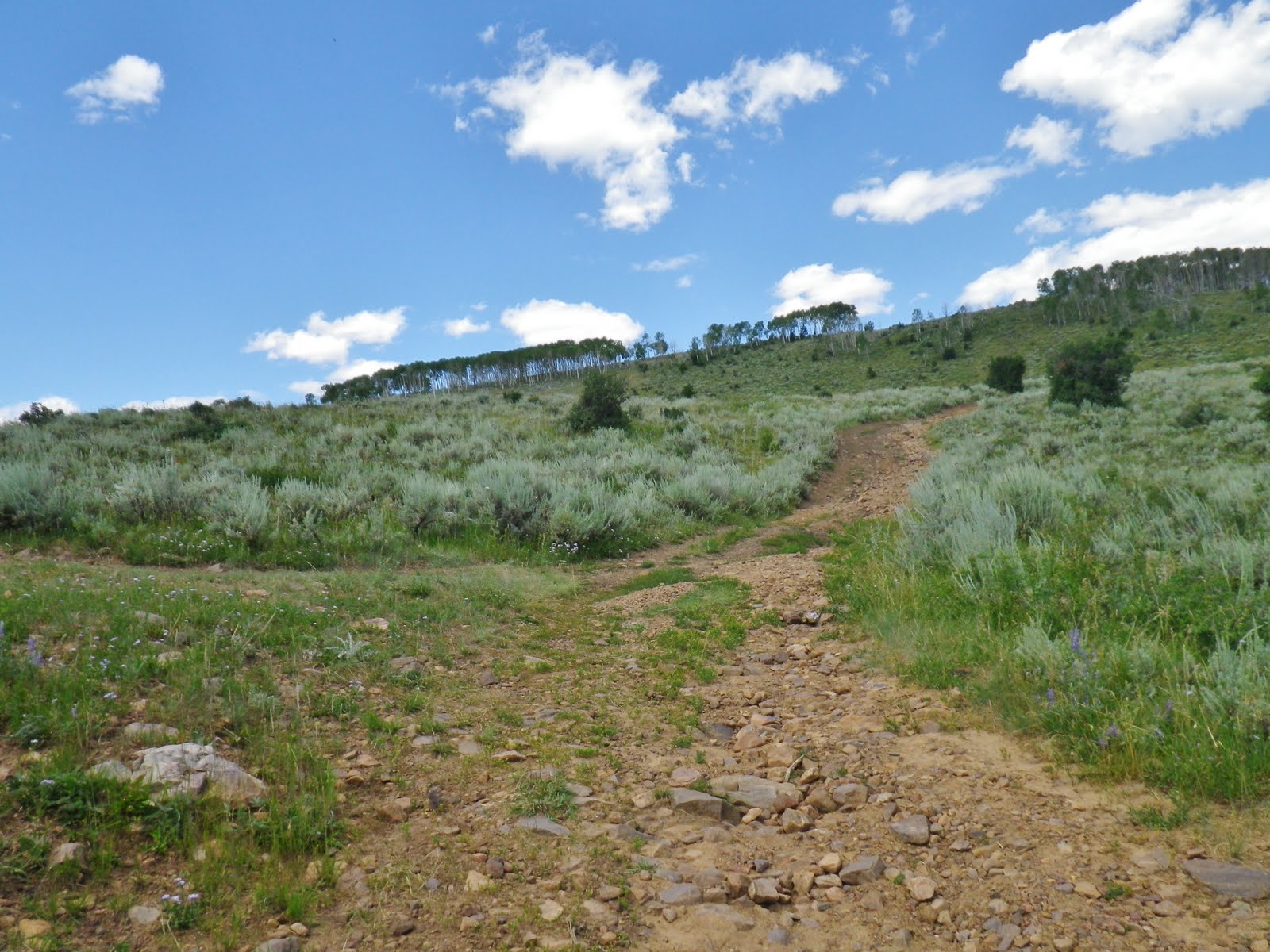
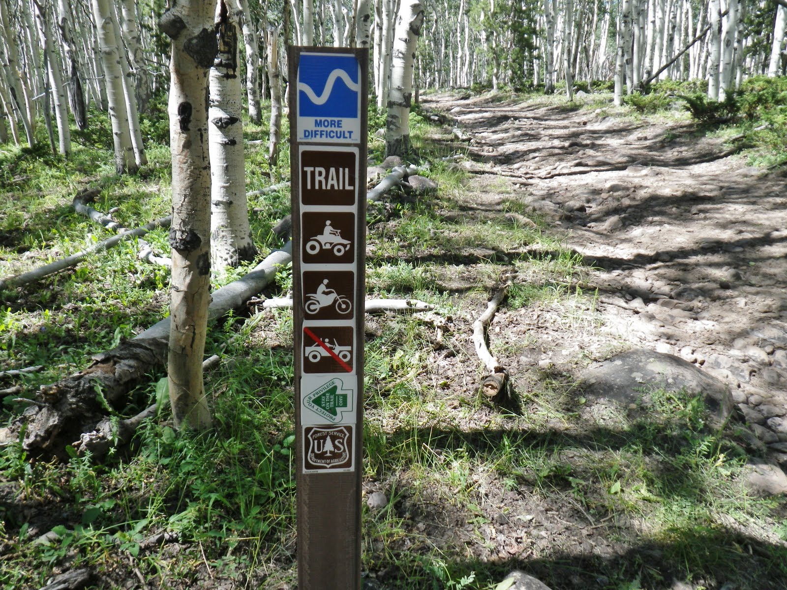
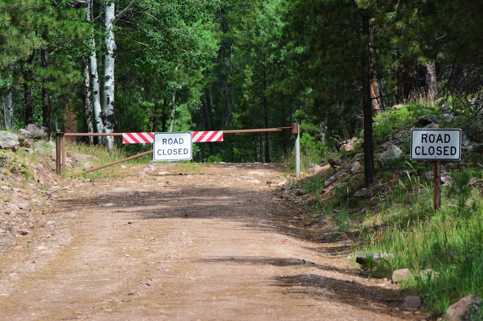
The road from the Trailhead was closed to cars, but for a mile or so was actually our trail.
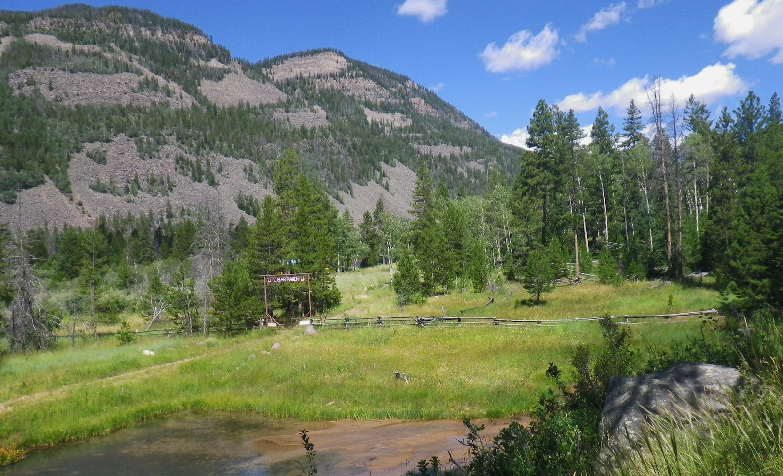
For many years the road was open to here, called SMOKEY SPRINGS, and the U-Bar Ranch.
Years ago it was the U-BAR DUDE RANCH, then it became the U-BAR WILDERNESS RANCH.
Years ago it was the U-BAR DUDE RANCH, then it became the U-BAR WILDERNESS RANCH.

I believe it was in 2006 that what they call “a mud slide” came down from the east and cut through the U-Bar Ranch.
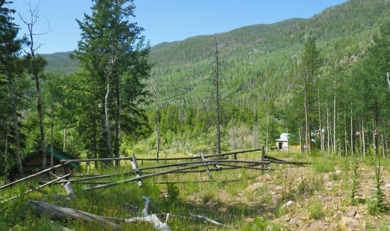
I don’t believe it ruined any buildings, but it did cut through the middle of the ranch, and the Forest Service closed the enterprise. I understand that the owner wanted to continue but it wasn’t permitted and he eventually was paid for the property….and since it has turned into a sort of depressing
“ghost town!”
“ghost town!”

In 2003 I came down this same trail at the end of my 27 day “expedition” and found the incredible luxury and comfort of the Wilderness Ranch…actually staying for a night in the cabin the back of which we see above from the trail.

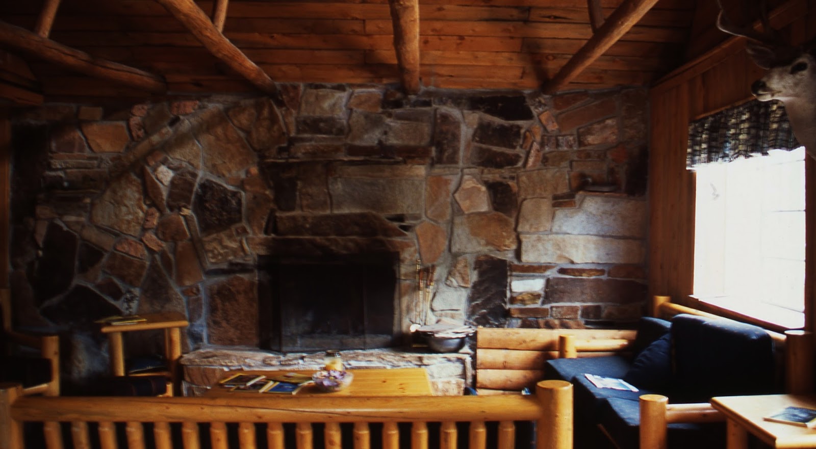
This was the Lodge in 2003….where I knocked on the door and met Jann and Ed Baltz, the owner
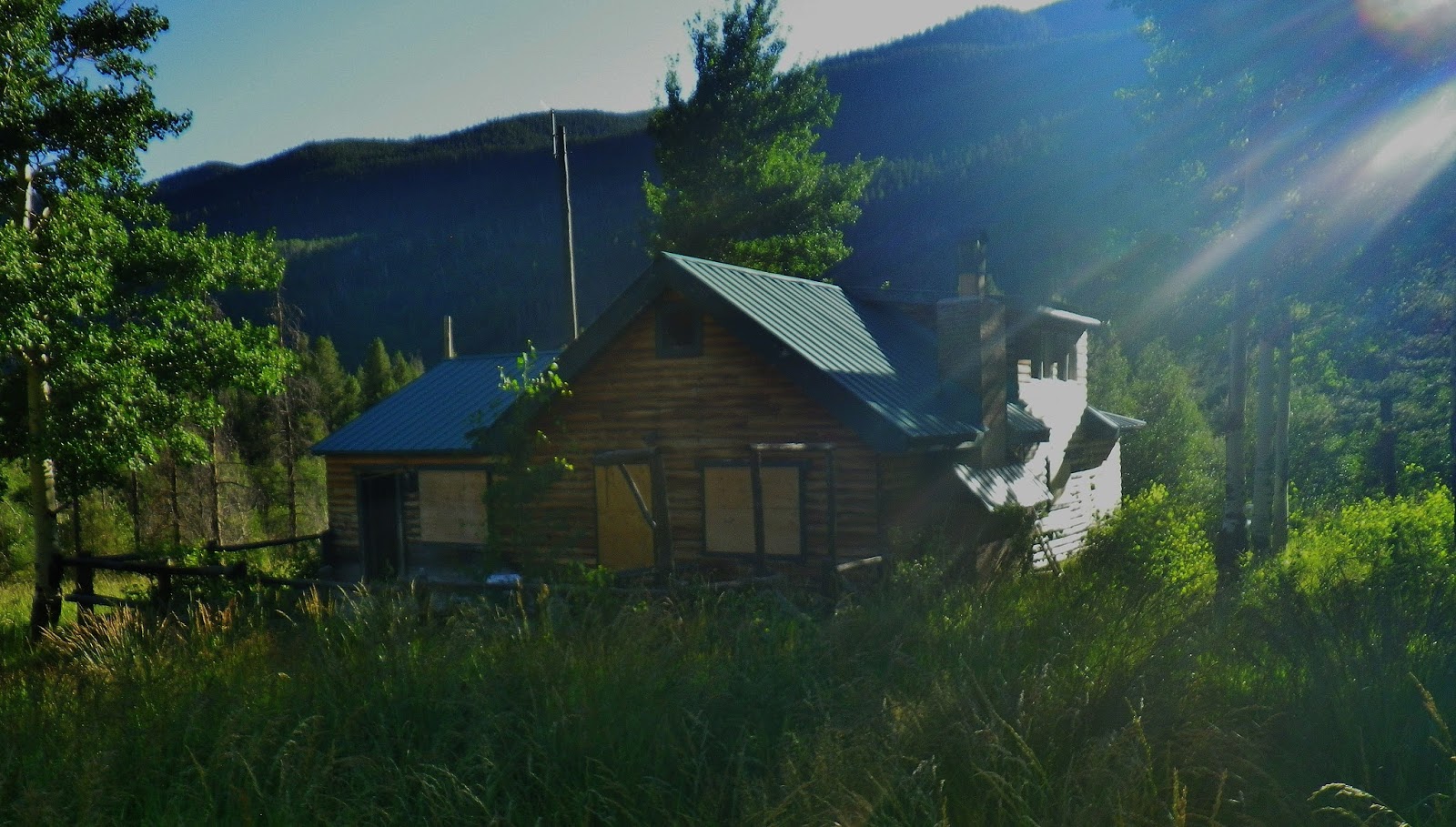
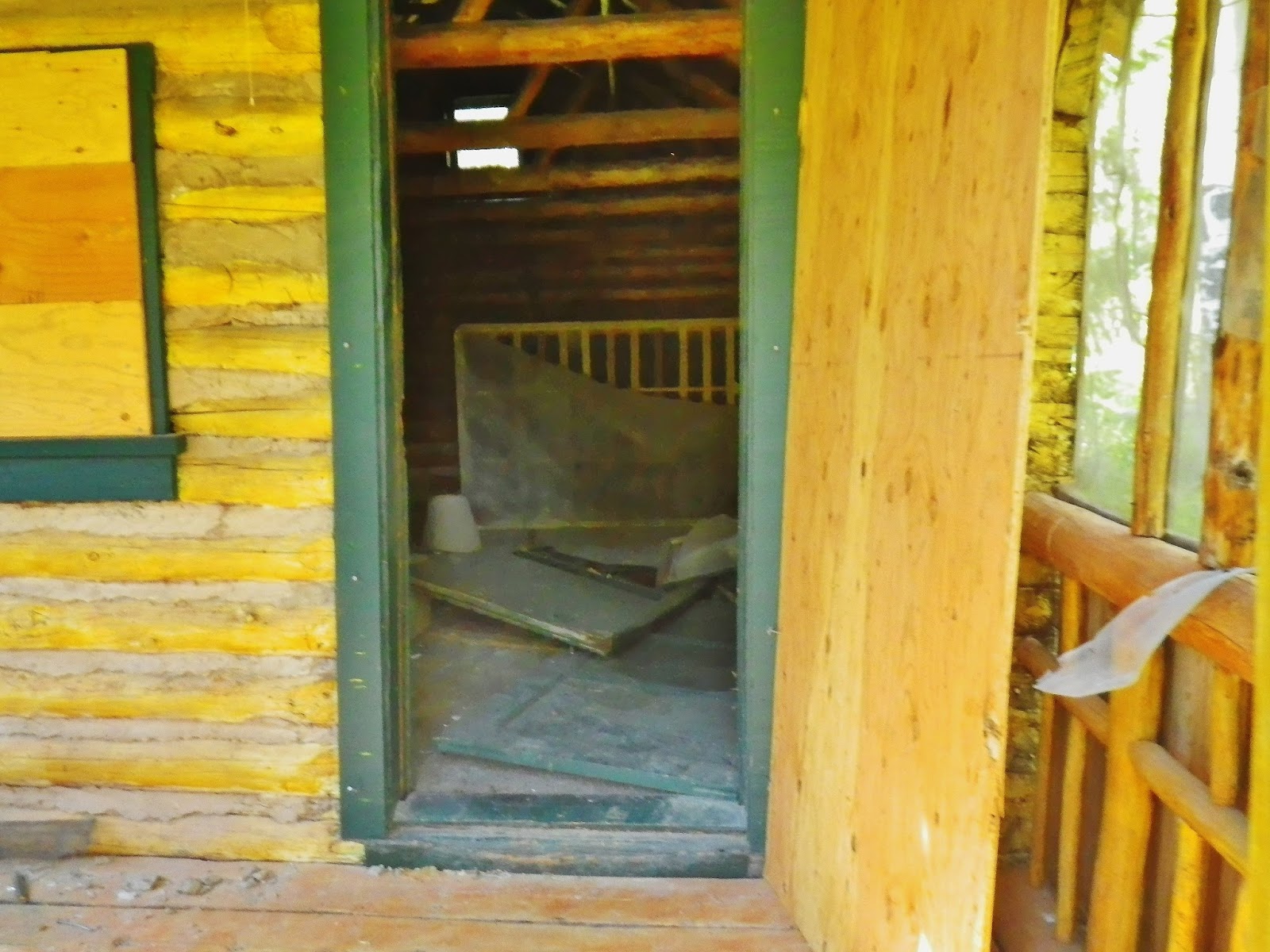
This is the lodge today, windows broken and everything boarded up–but plywood closing doors ripped open and everything in ruins!
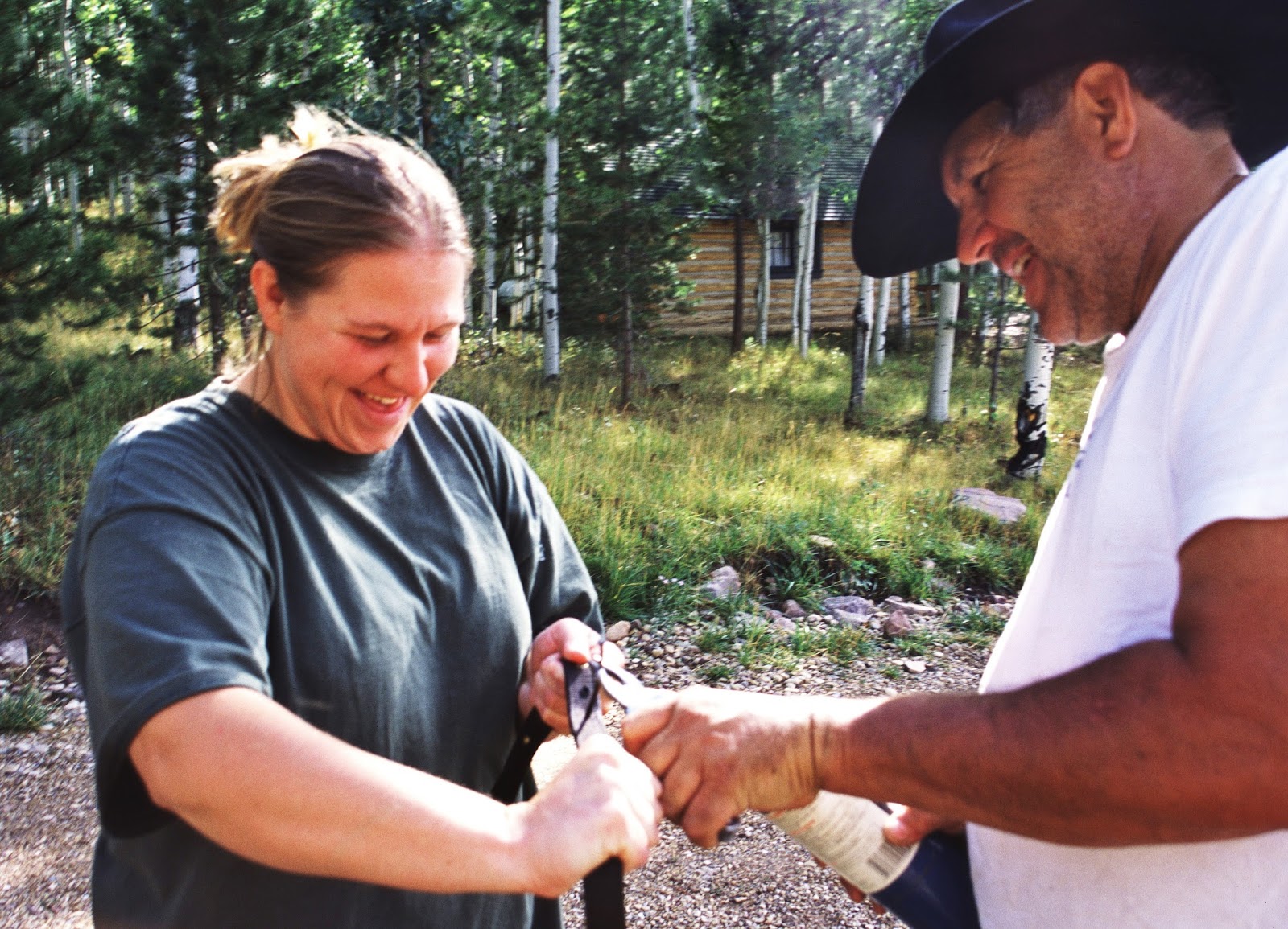
Here we meet Jann, who ran the lodge and kitchen, and Ed Baltz, the owner. They treated me like a king!
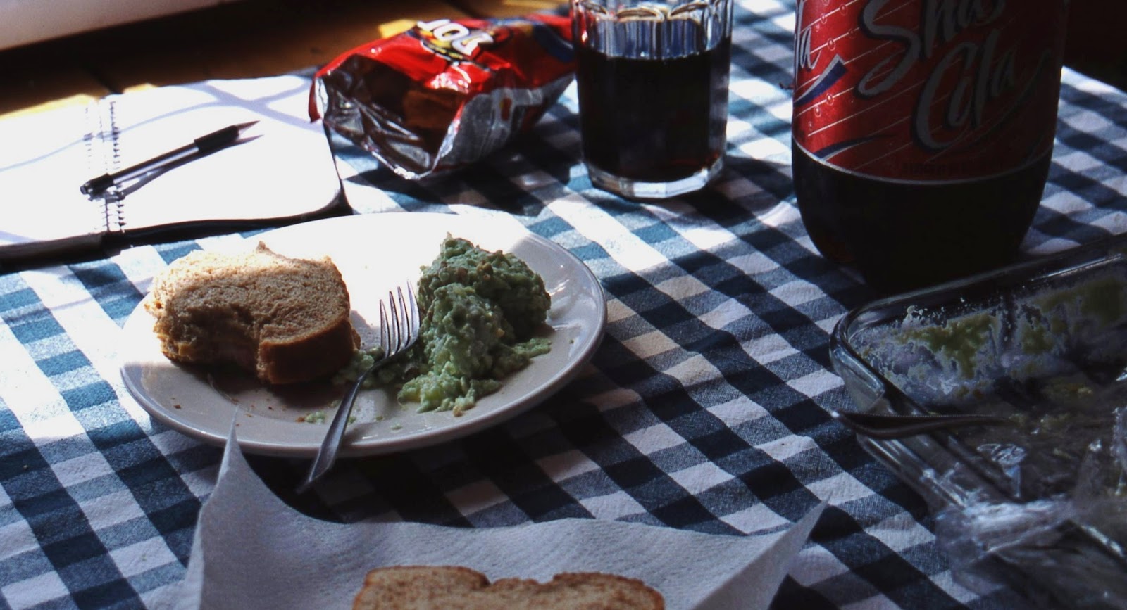
Can you imagine how a tuna fish sandwich, green jello salad and ice cold soda pop tasted after being in the wilderness for weeks?
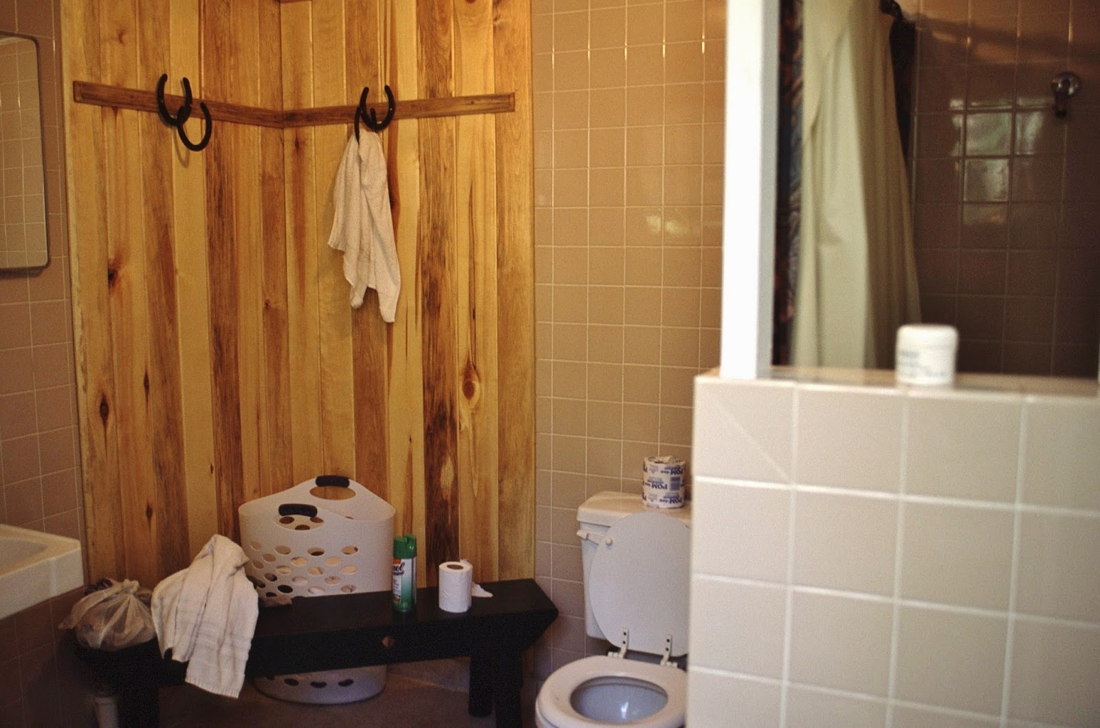
The incredible re-introduction to civilization continued with a toilet and a hot shower!
I was even able to wash my terribly dirty and stinky clothes and dry them while I was getting my shower. Oooh…. how good it felt to
get into clean clothes and then retreat to my
get into clean clothes and then retreat to my
RAINBOW CABIN!

When 67 years old I had started that “expedition” from the Highline Trailhead near Mirror Lake with 83 lbs. on my back and around my waist. I had prepared for it over years walking 3-4 miles 2-3 times a week on the hilly terrain of my farm in Guatemala carrying a 100 pound bag of fertilizer on my back…..so was able to do it, but it wasn’t easy….but what a breeze coming down the Atwood/Uinta River Trail with 37 lbs. of food GONE….and the impact of getting to civilization was so wonderful!

I guess I don’t have to say anything astonishing or elocuent to describe how this felt….you can imagine!


Ed and his wrangler, Bill, loading up the pack horses to take gear up into the high country for clients.

Of course this service now doesn’t exist here on the Uinta River.
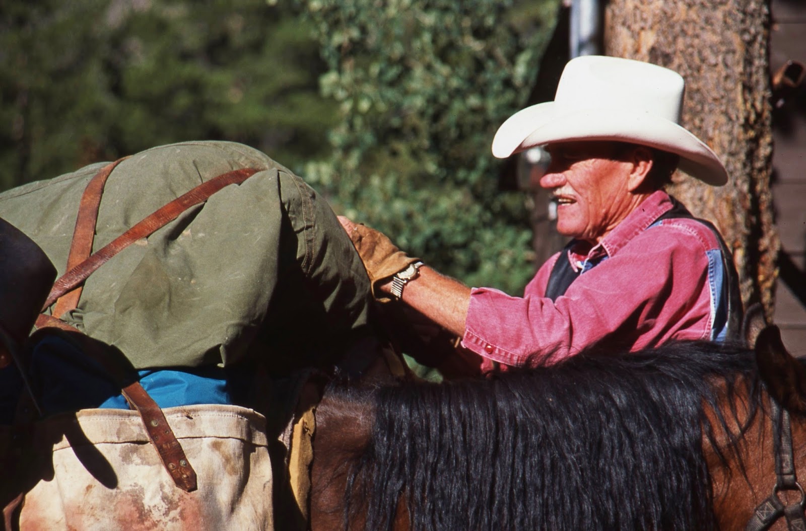
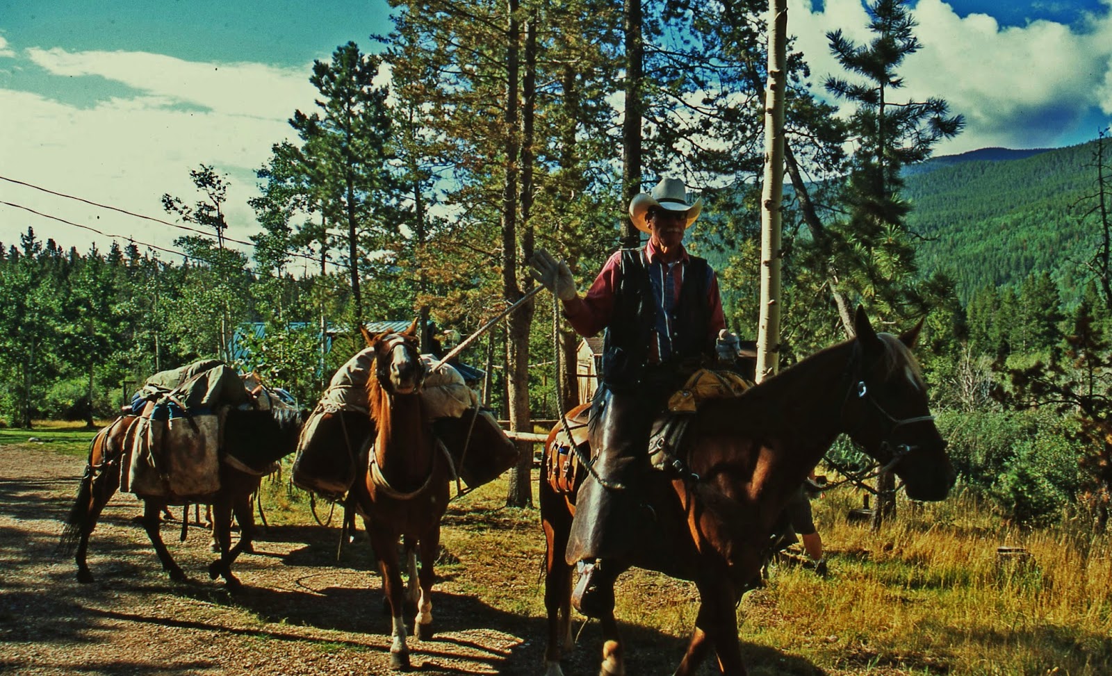
Bill heading up the river trail.
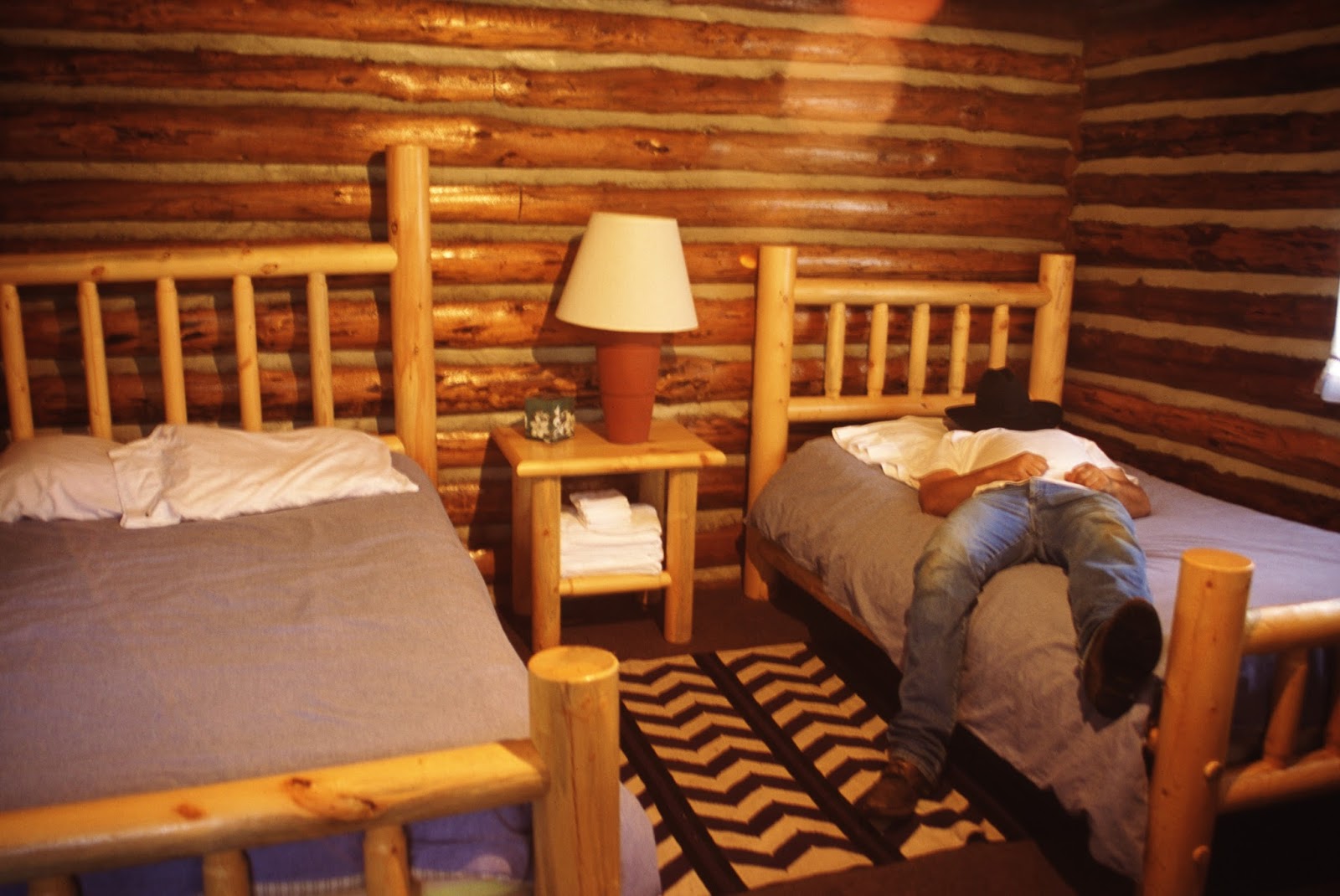
Ed, retreats to one of his cabins for a short snooze!
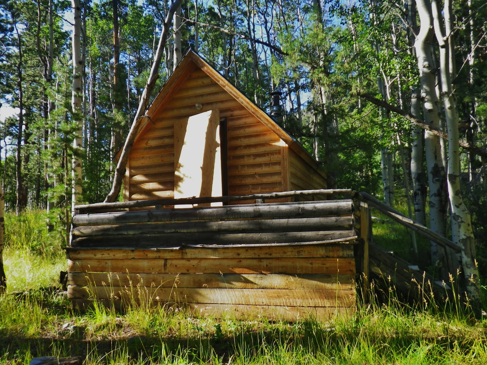
This is the “ghost” of my RAINBOW CABIN!
And, of others…..SAD! Seems like it would have been best for this to continue…but what do I know?
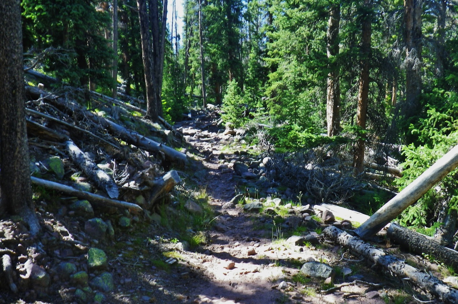
Now up the trail……
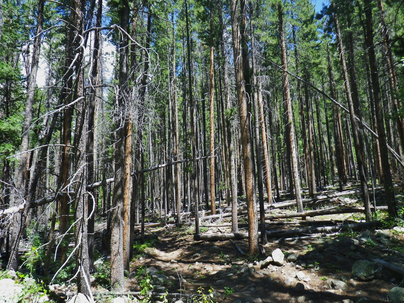
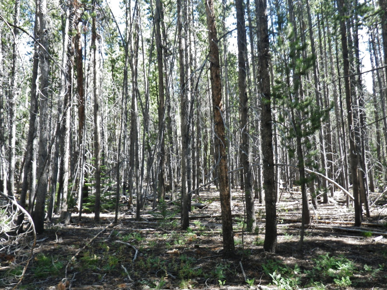
…….hiking through lodgepole pines that…, on the North Slope, would be
A TIE HACKER HEAVEN!
A TIE HACKER HEAVEN!
NOTE: If you don’t know what “tie hackers” are, go to the Tie Hacker page on my website and learn about these
“unsung heroes….without whom the West…might not have been won!”
“unsung heroes….without whom the West…might not have been won!”
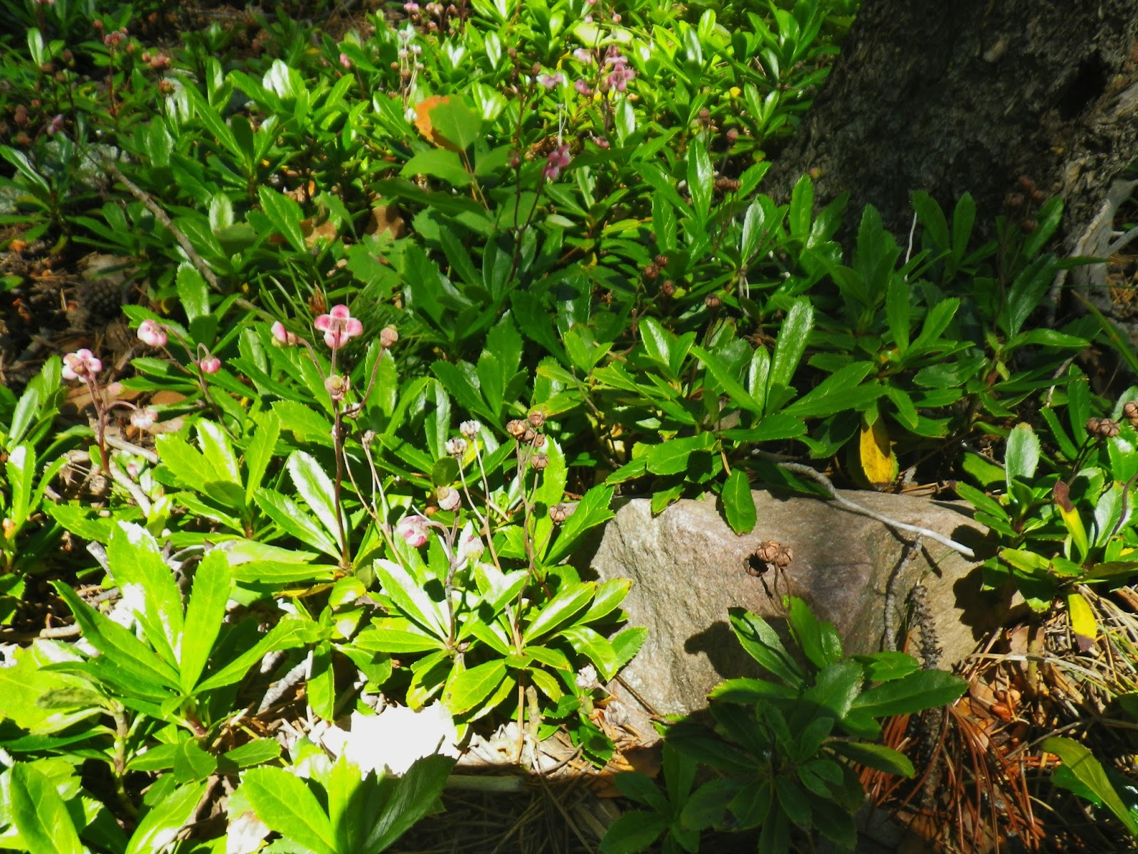
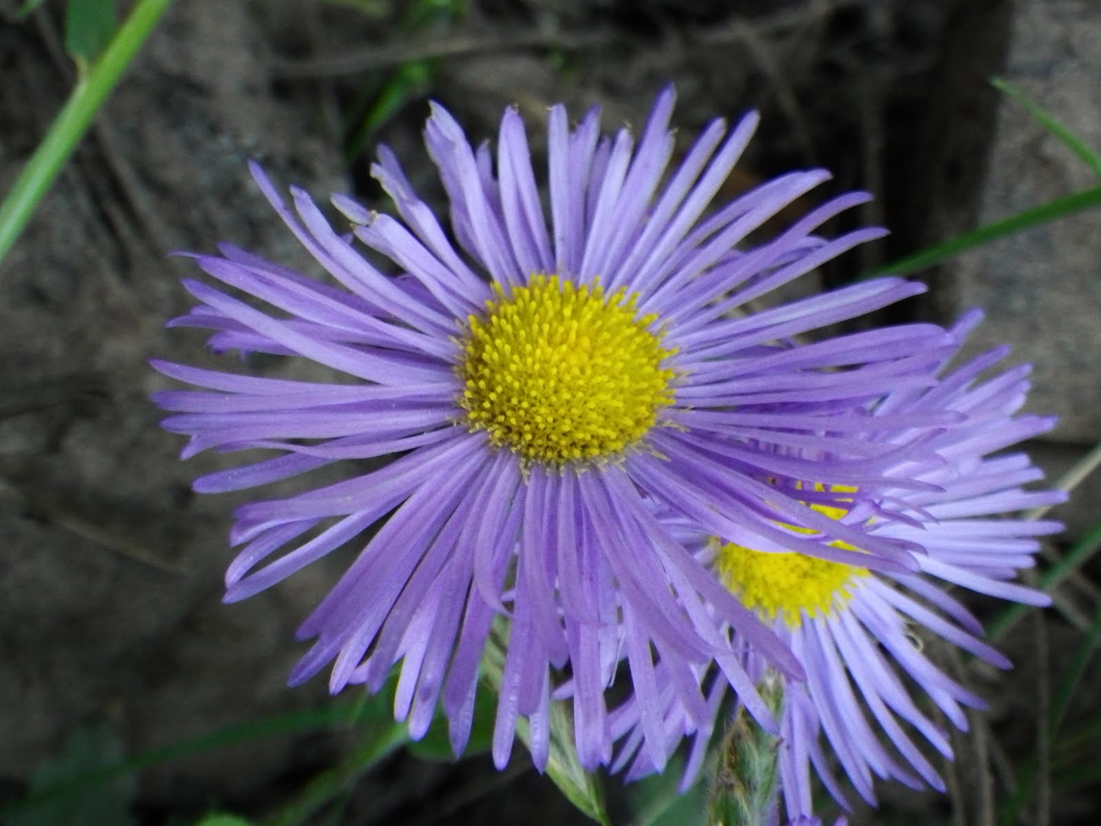
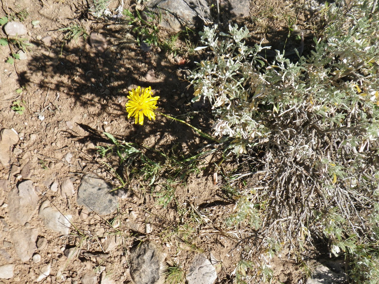
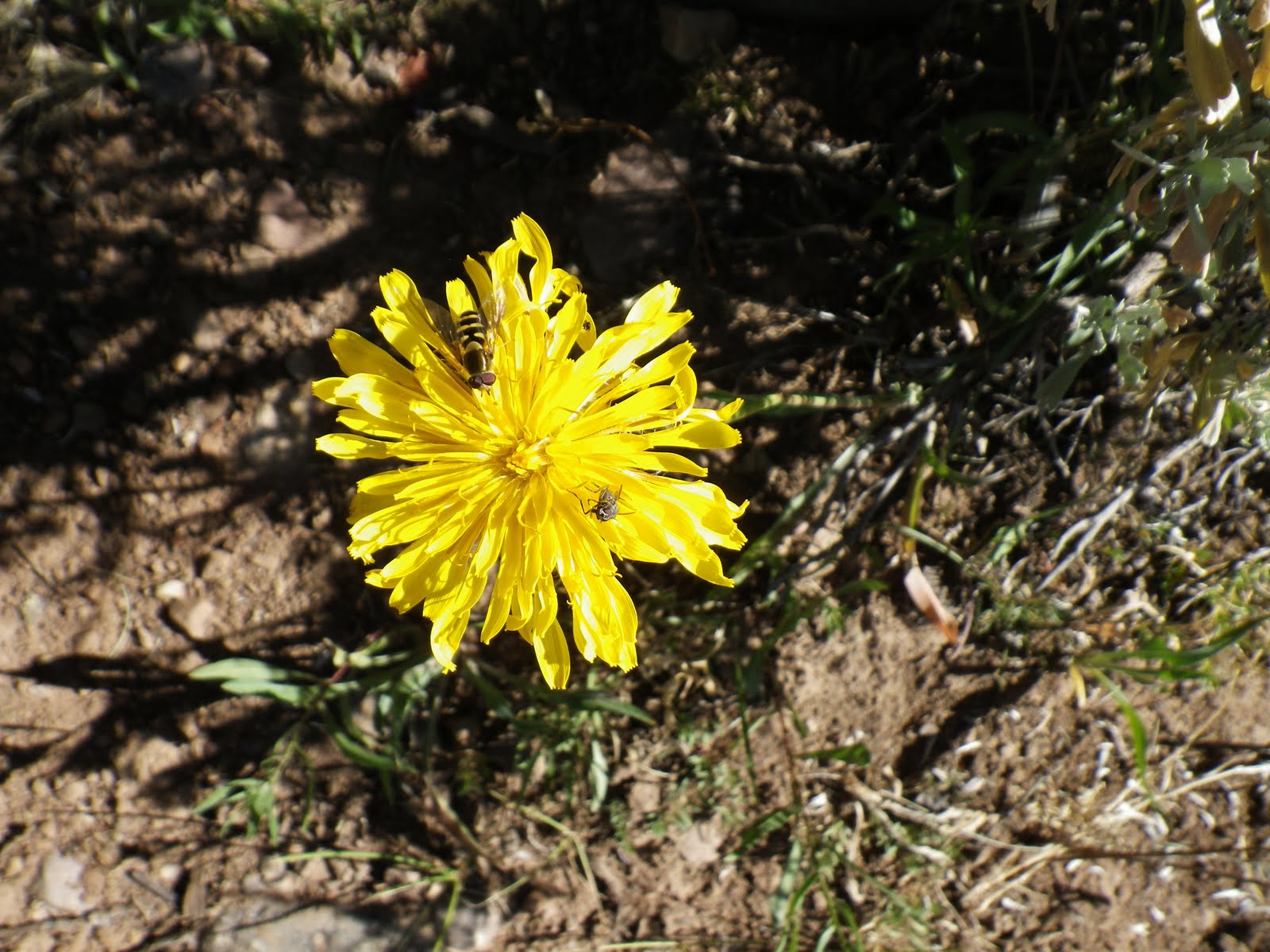
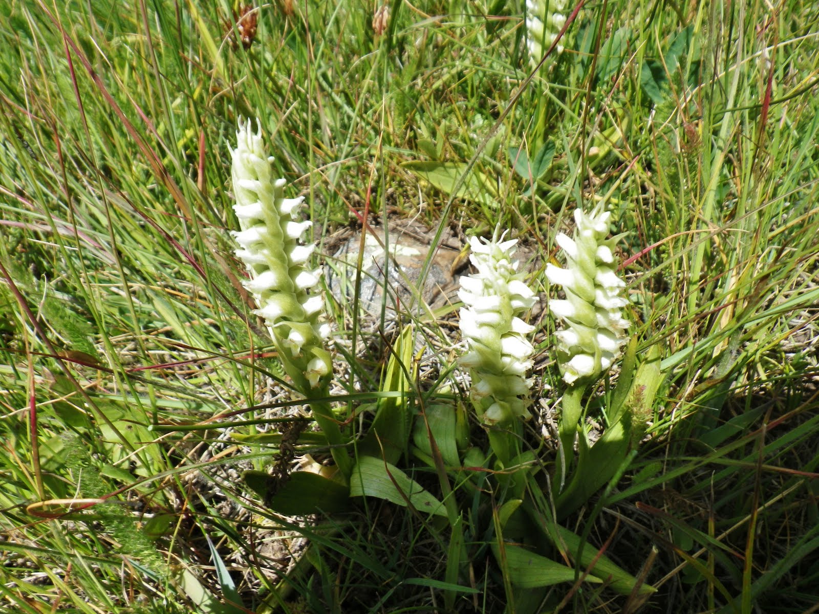
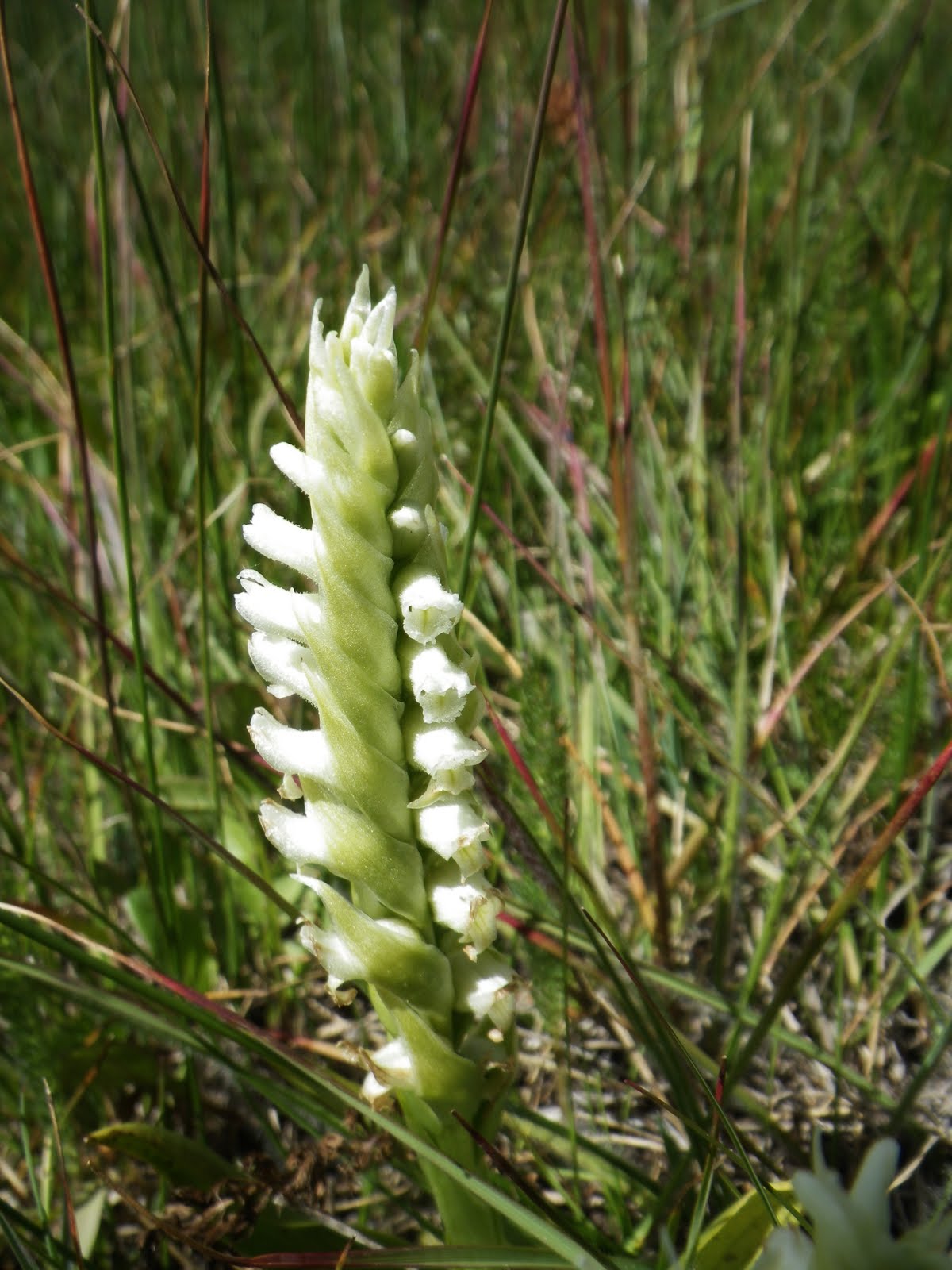
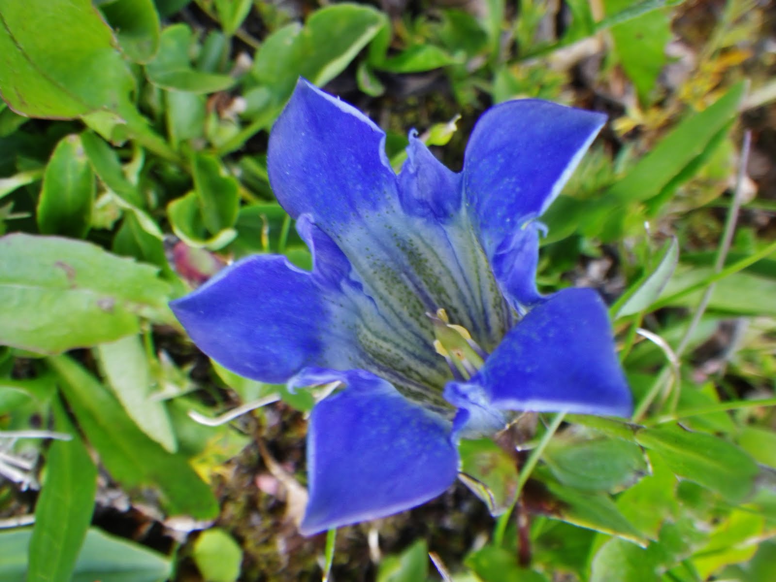
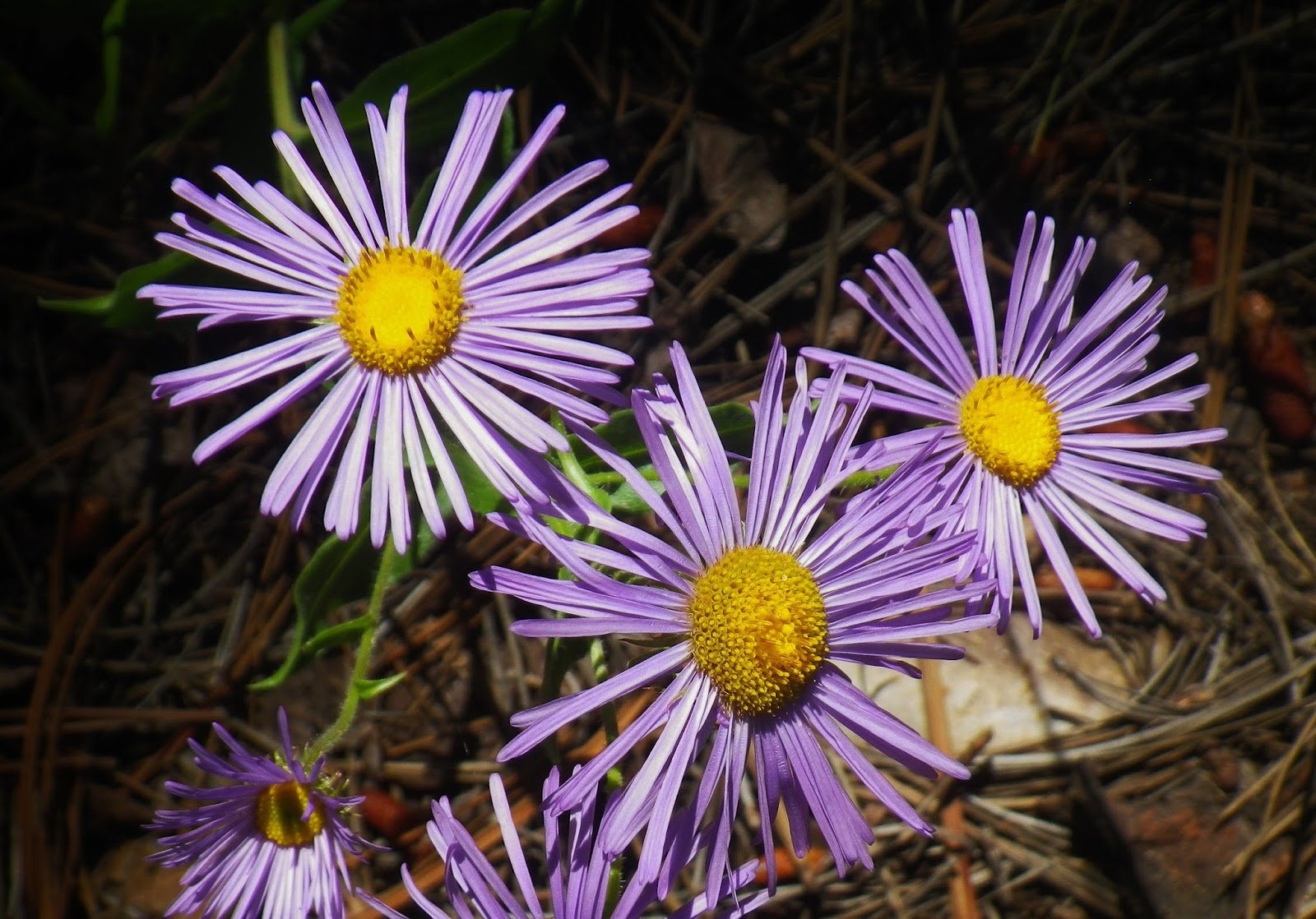
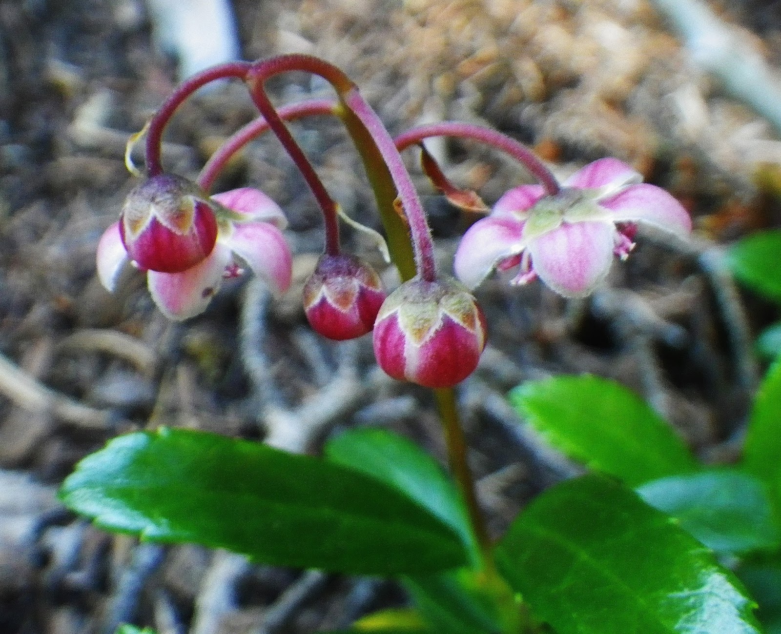
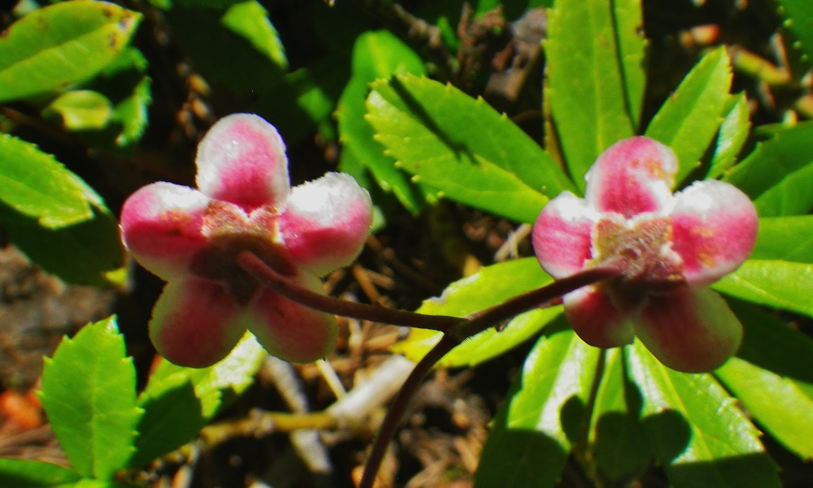
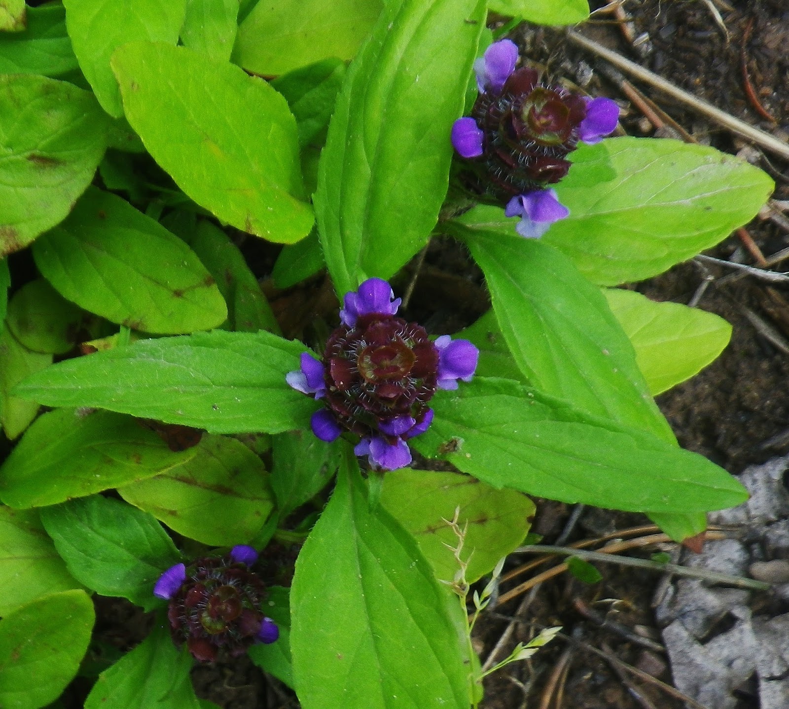
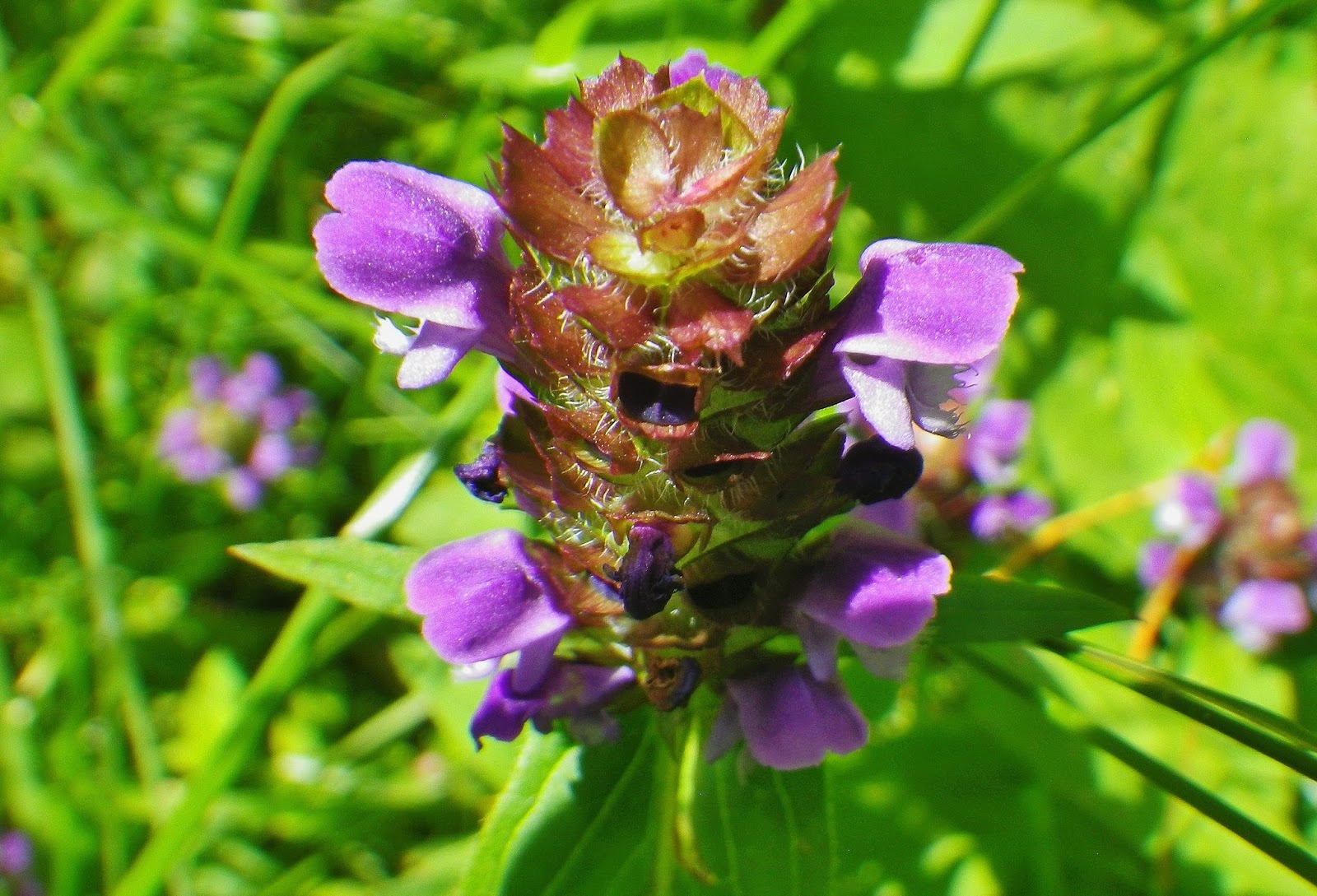
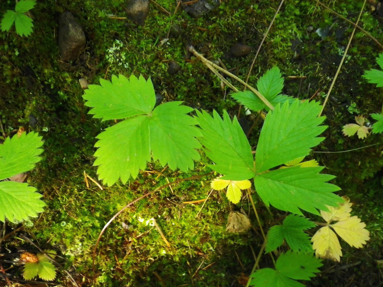
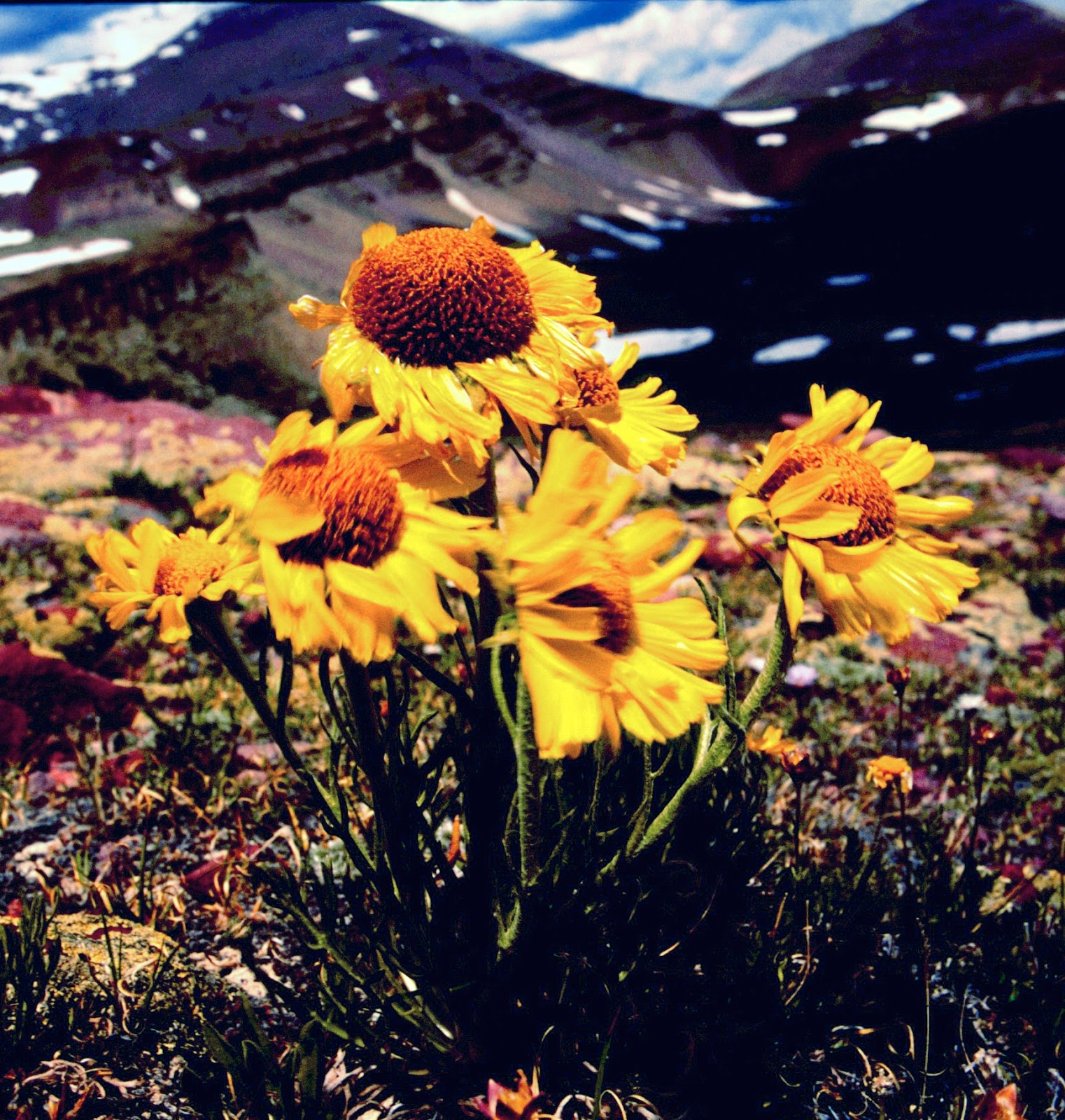
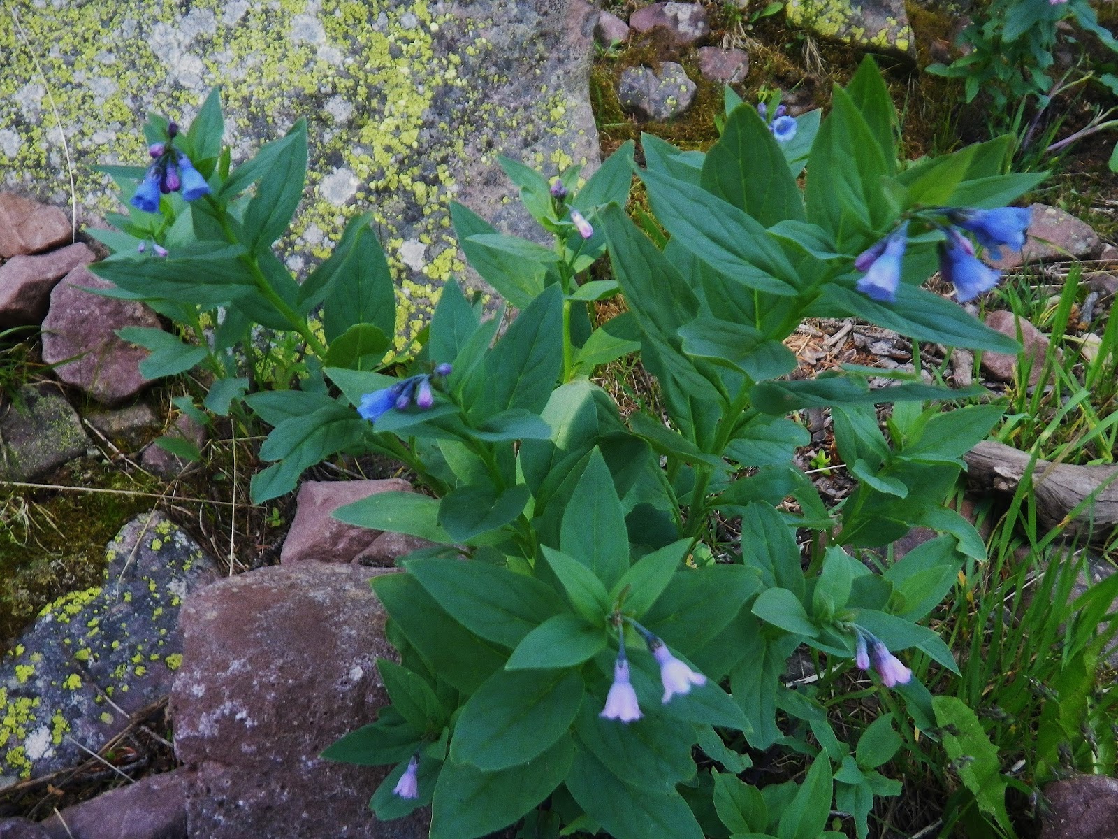
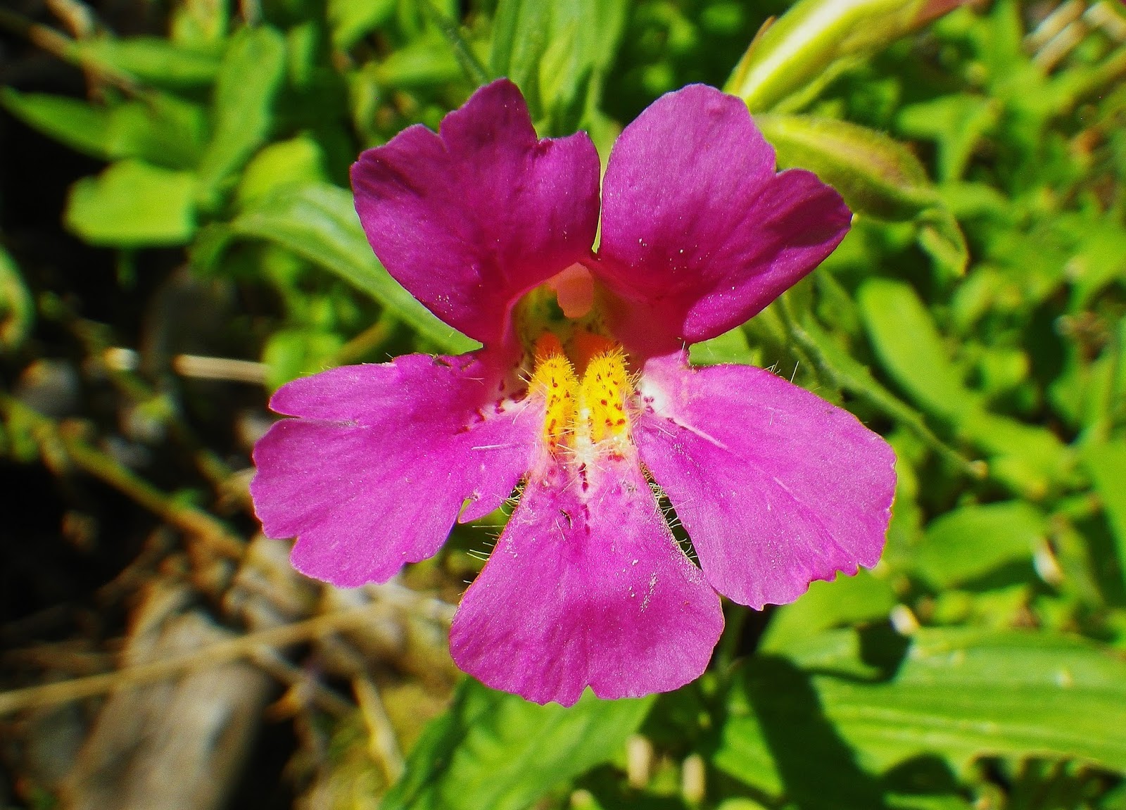
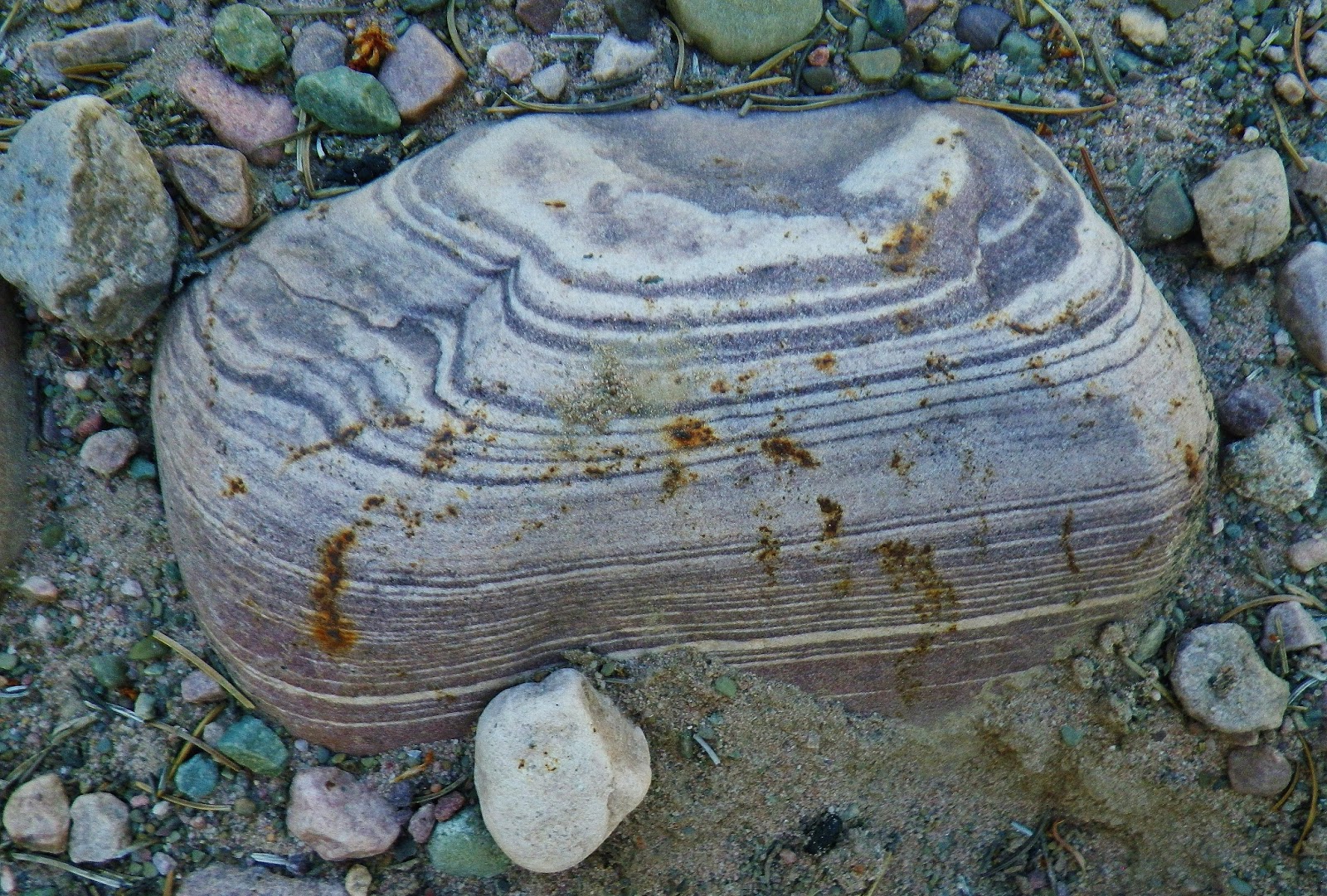
Along the trail we find in abundance this plant which I saw for the first time up Main Fork that comes out of the Hell Hole Basin….on an exploration related to the tie hackers….Search for the Howe Feeder Flume.
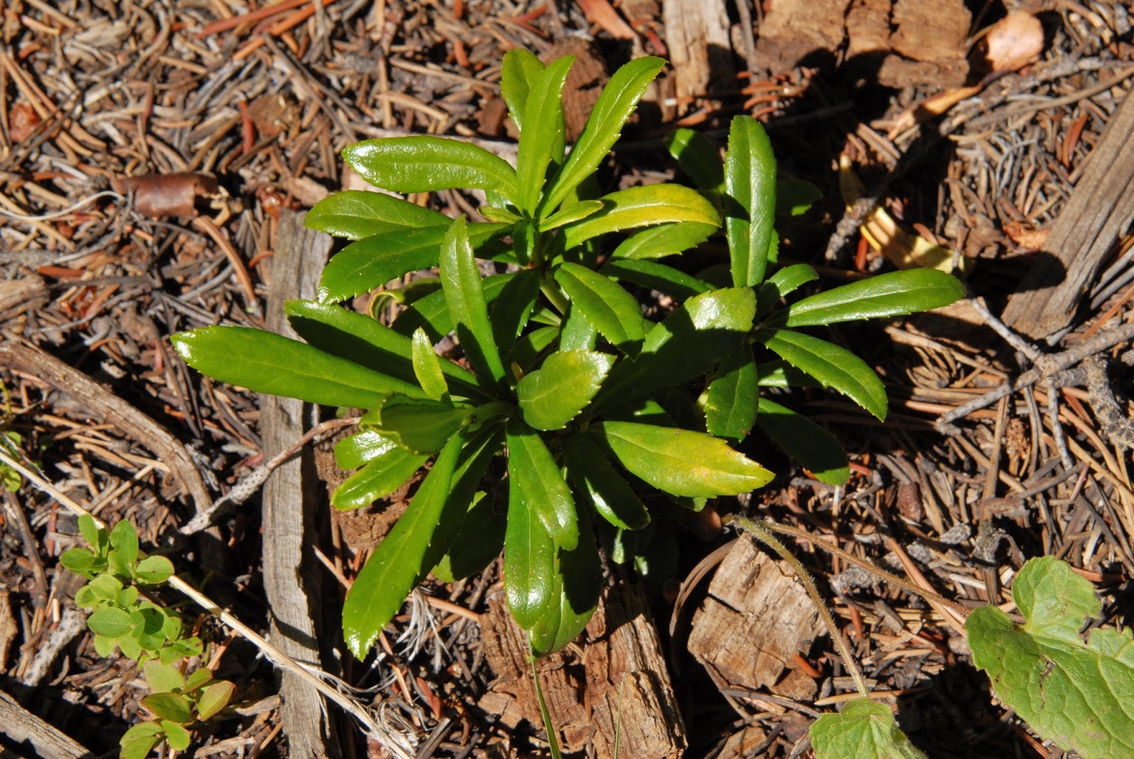
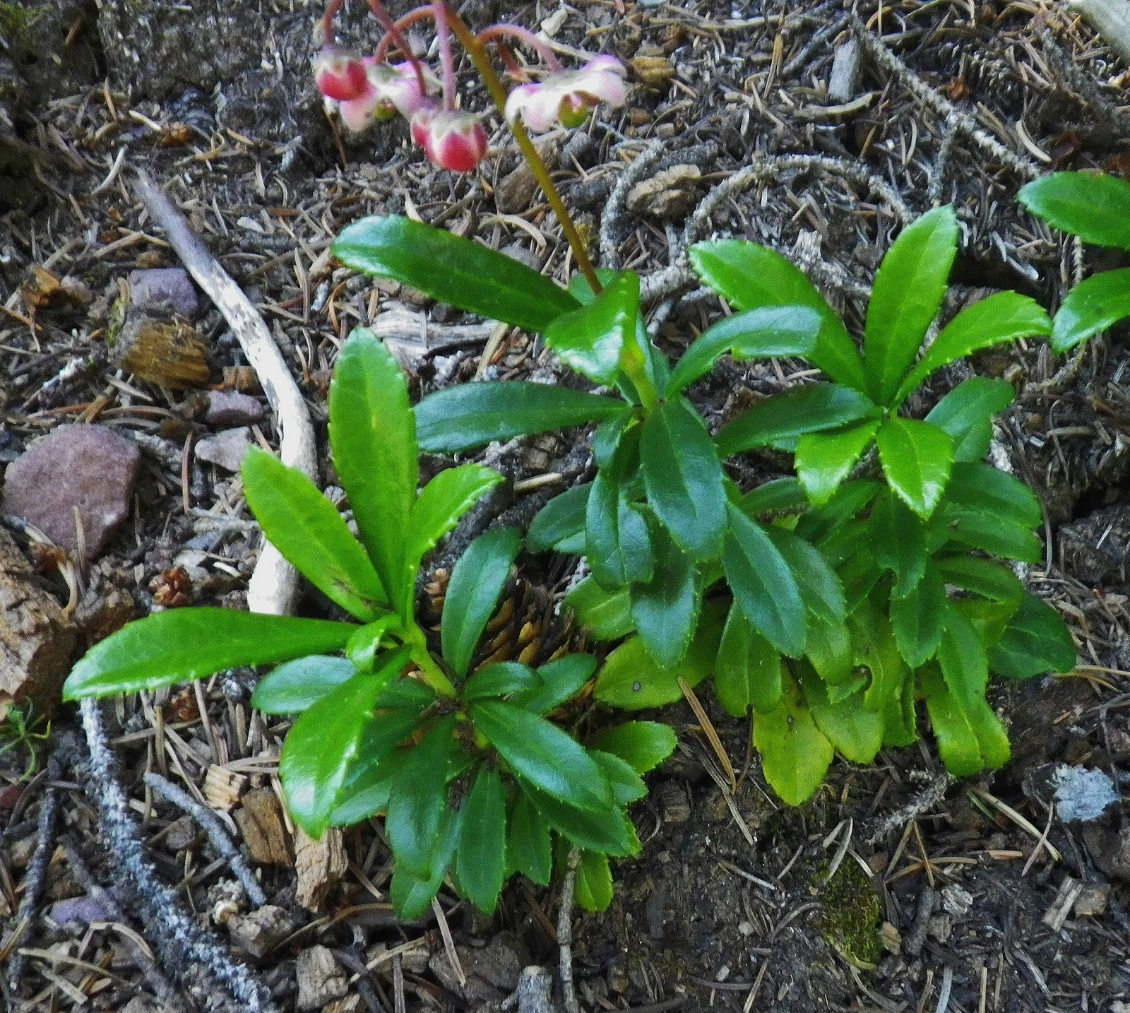
Here we see it in further stages of development….with its flower. I’ll go to work identifying it soon, along with the next flower shown. Total varieties now photographed–from foothills to Kings Peak coming to 318 varieties.

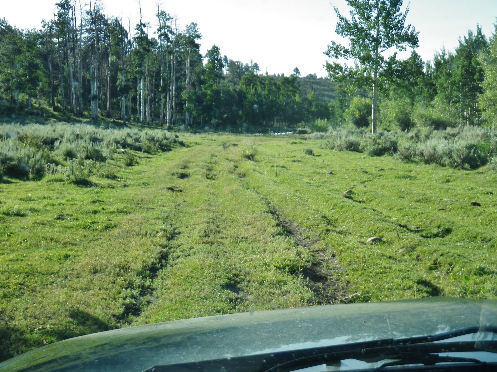
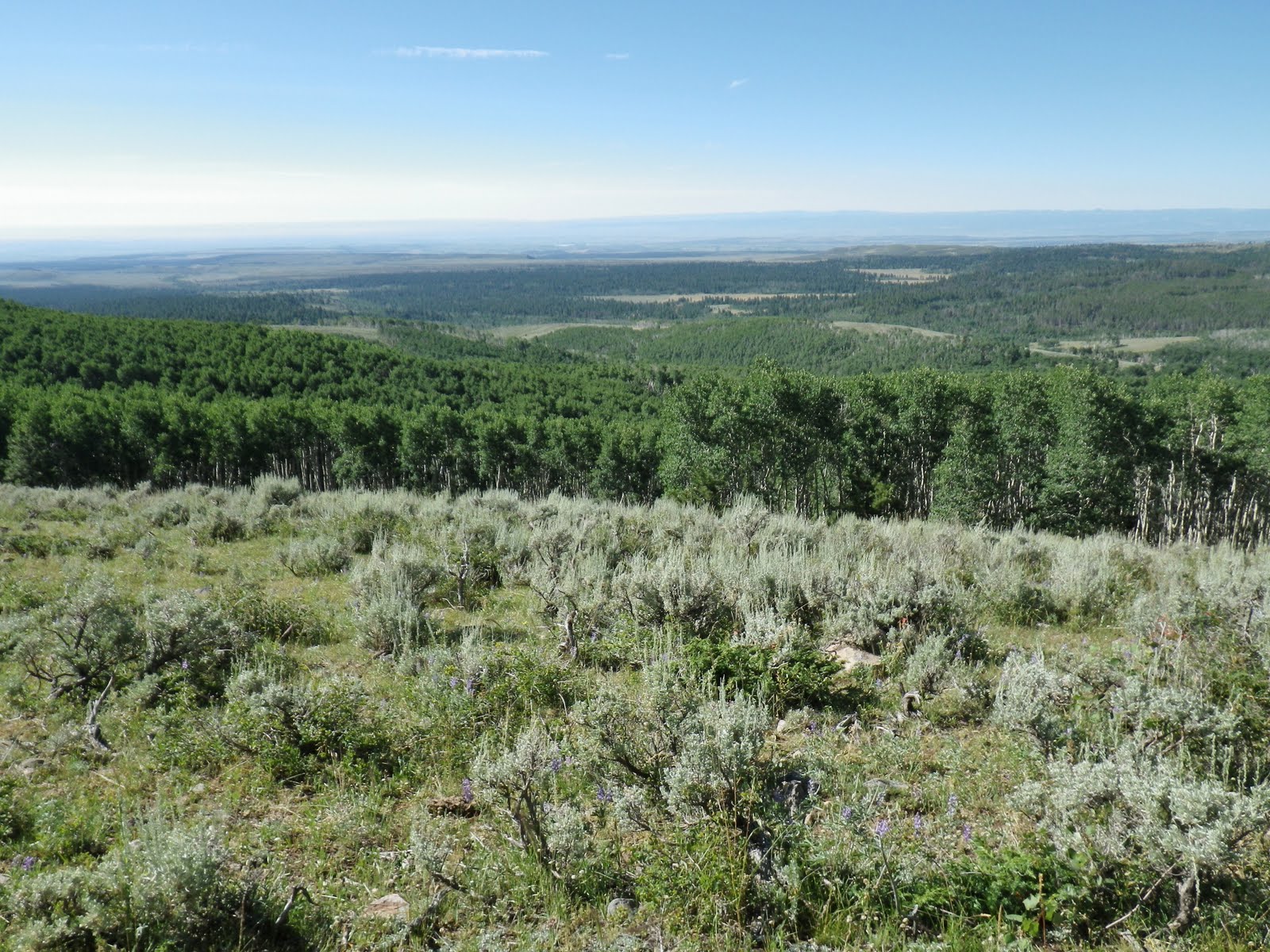
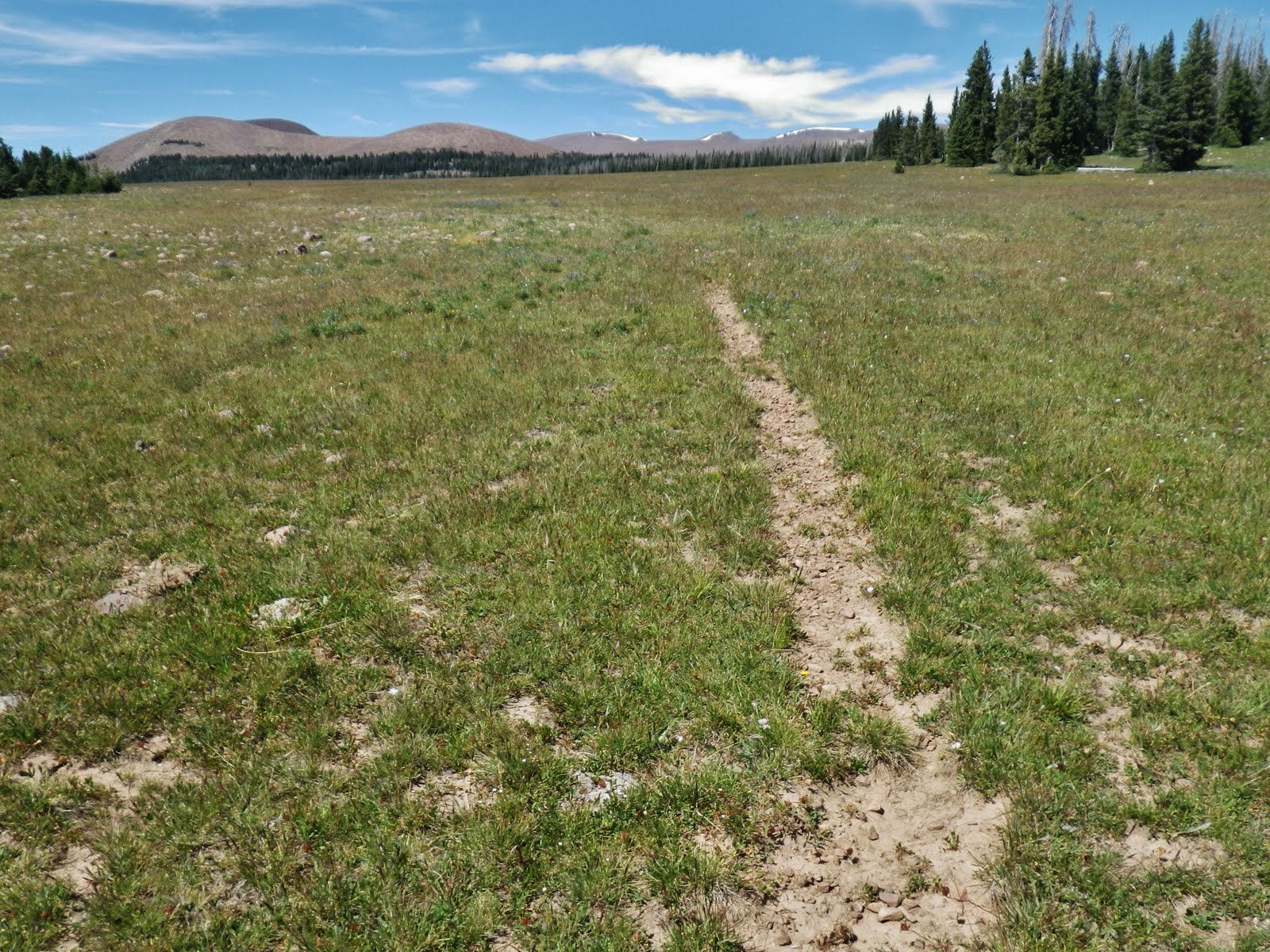
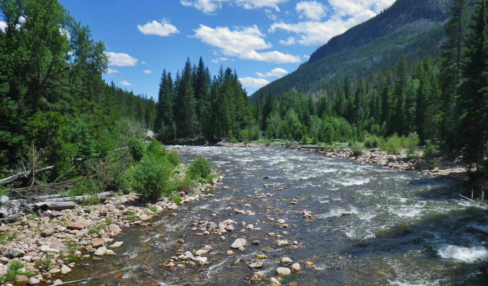
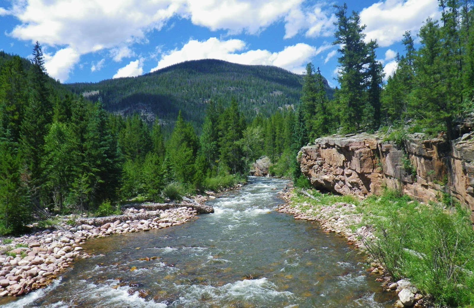
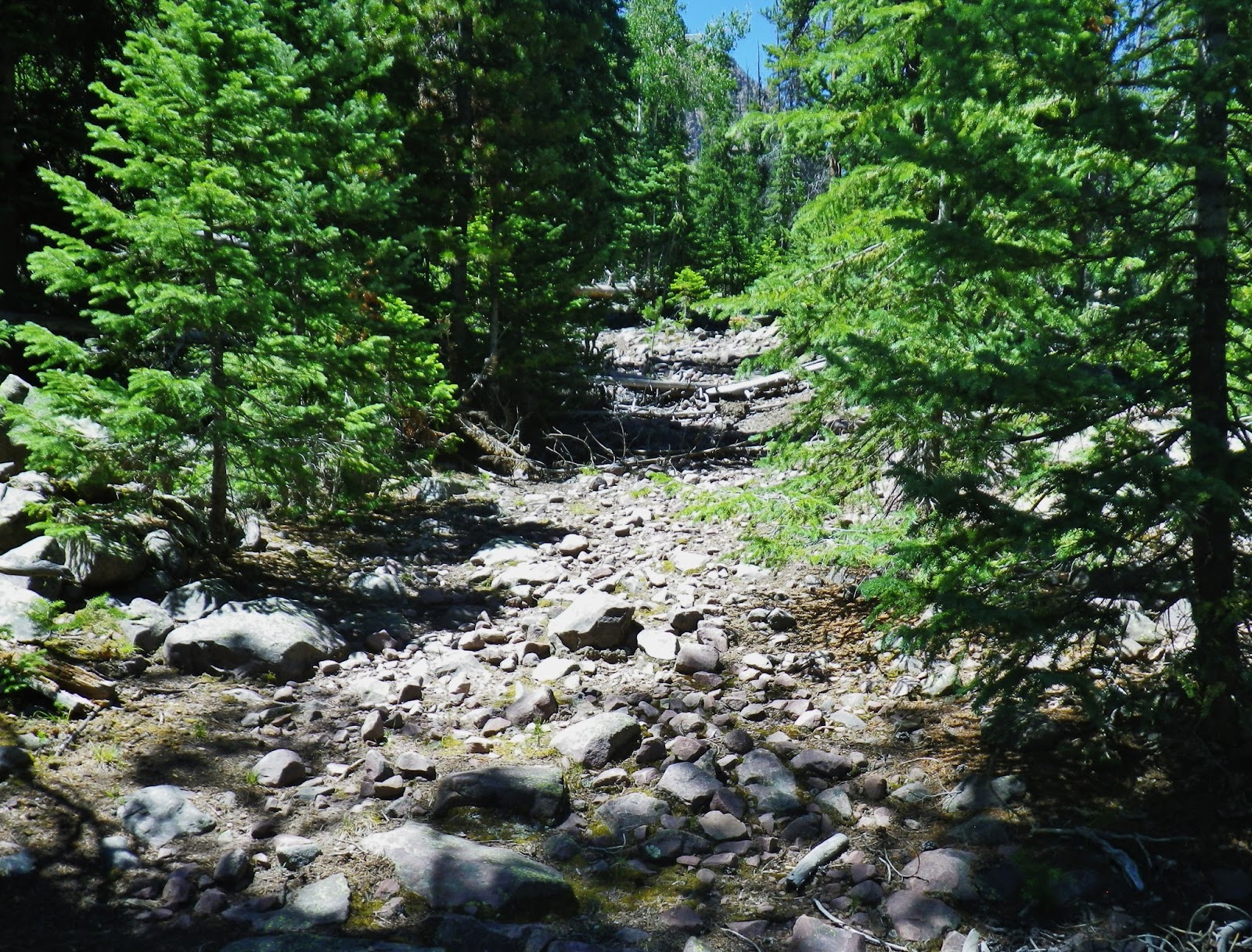
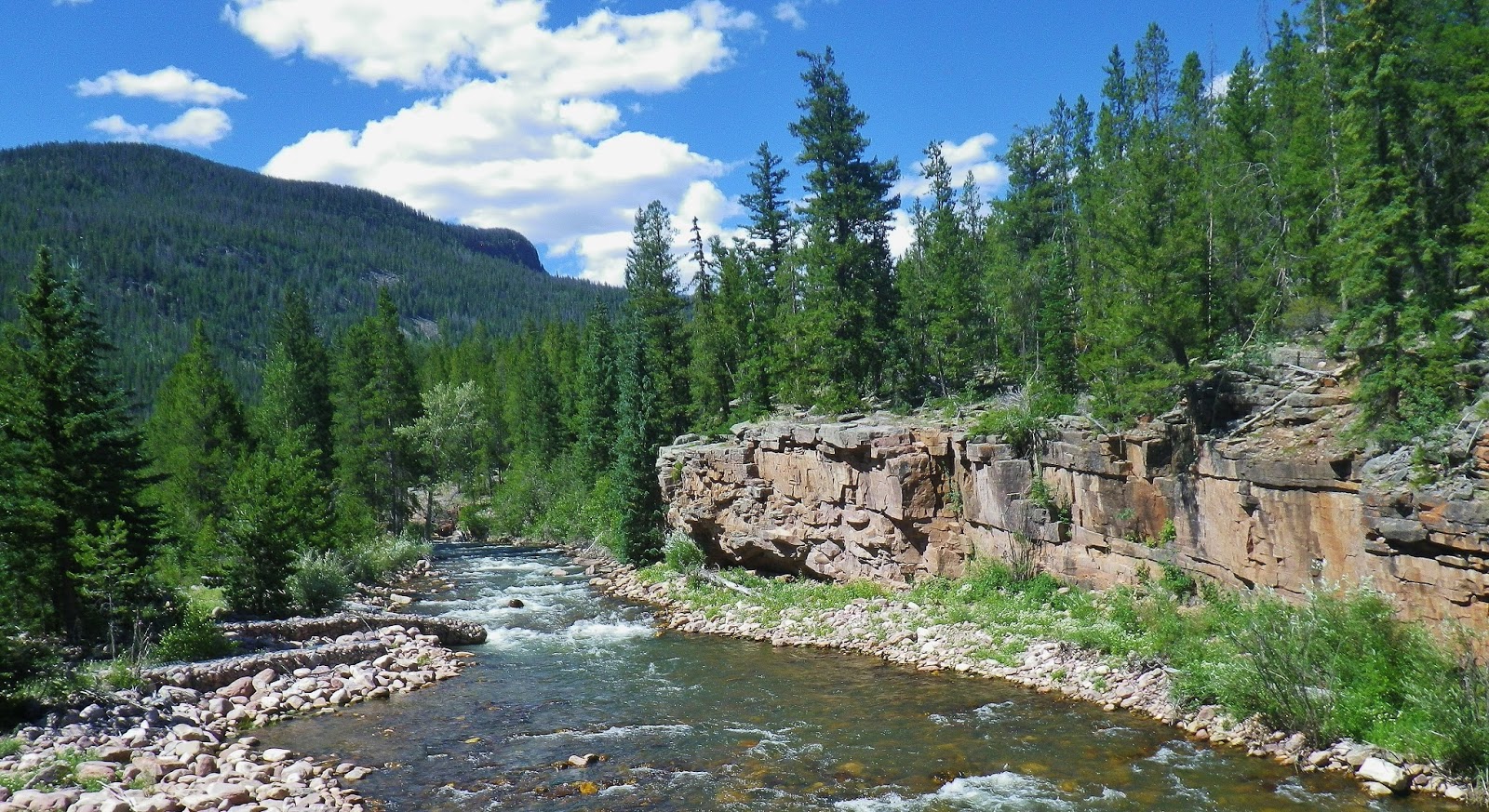
We are hiking up the canyon along the UINTA RIVER….a hike for the 1st day that will be 4 miles.
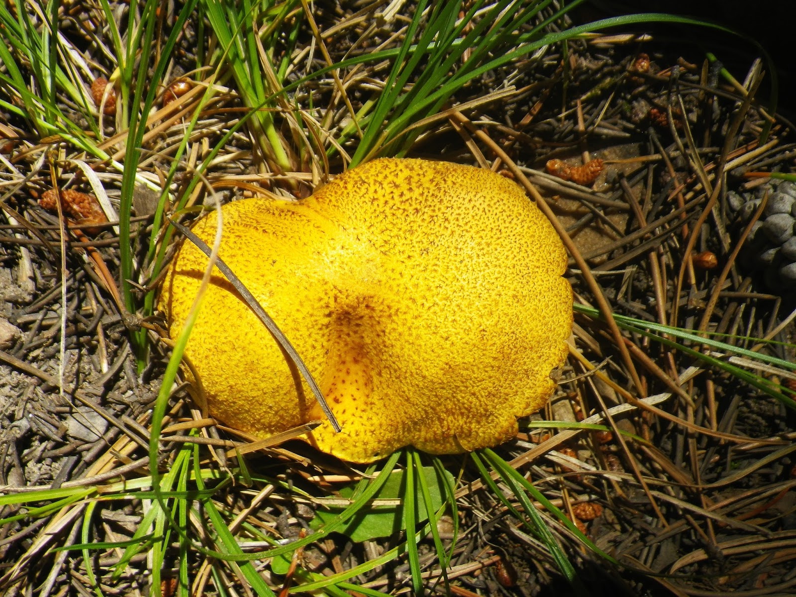
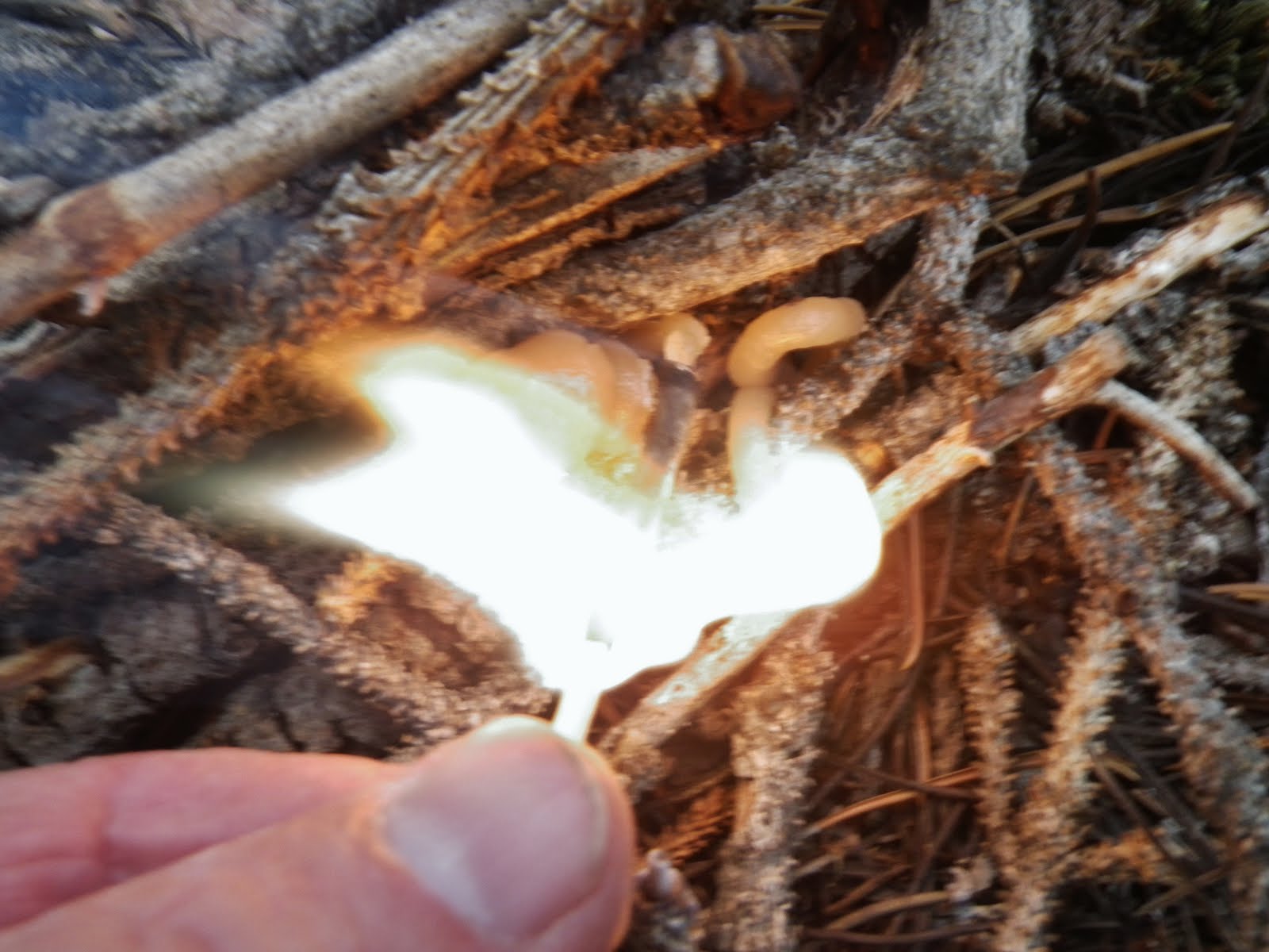
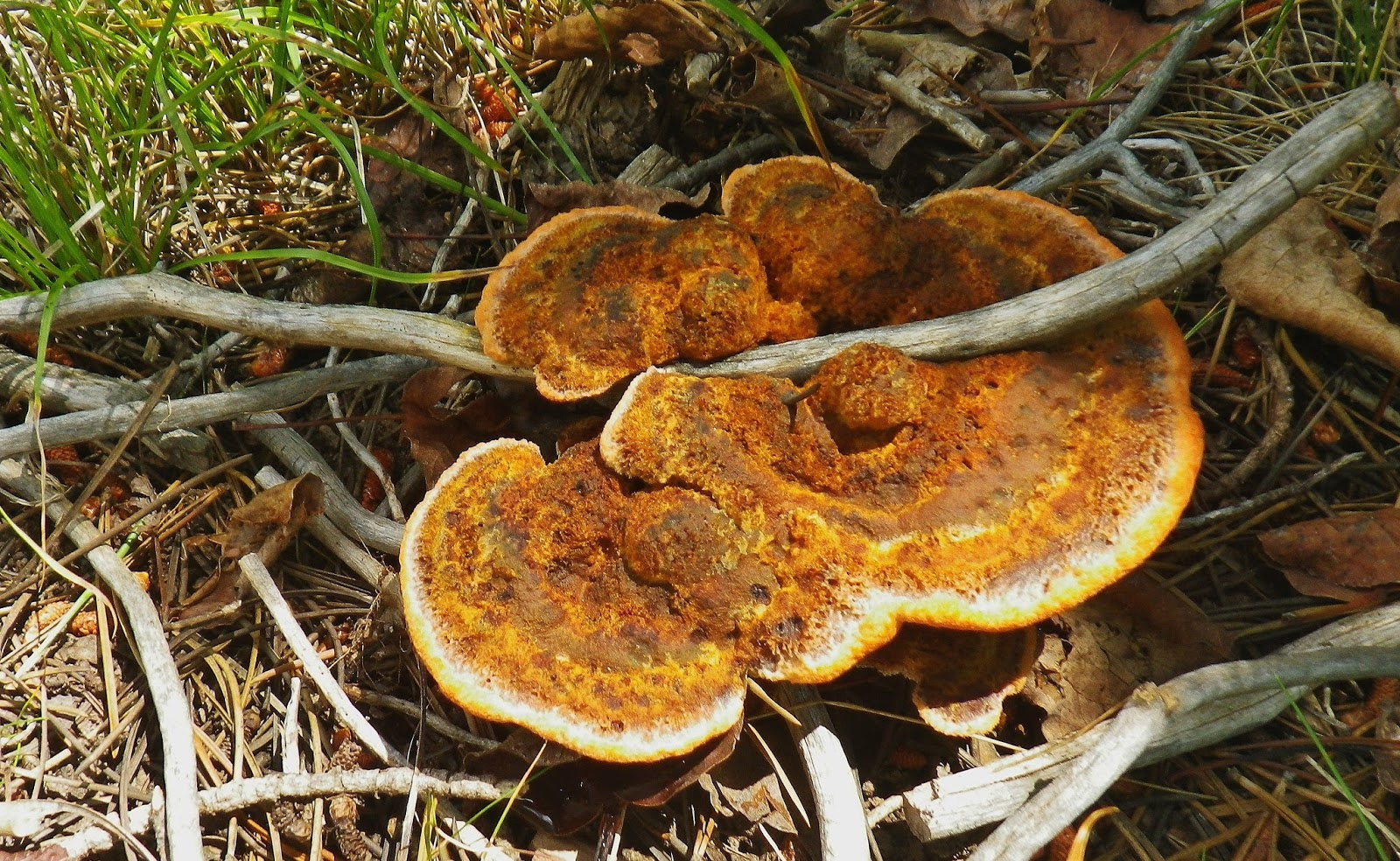
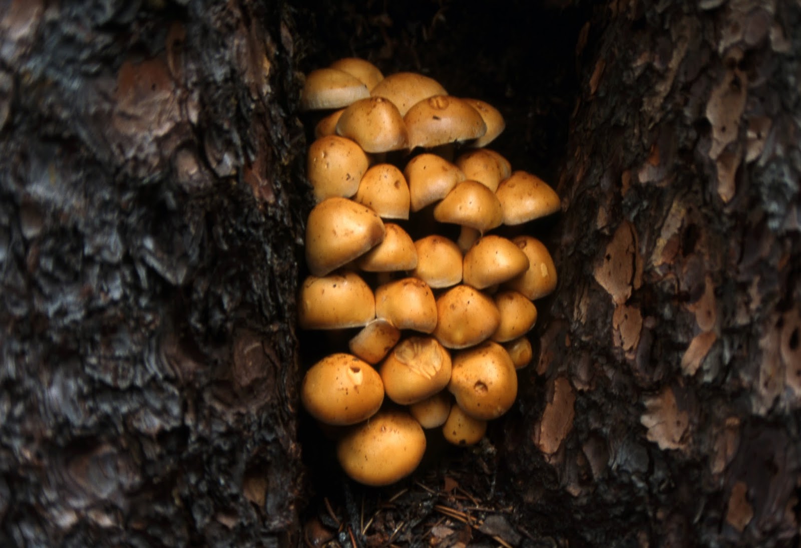
Another of the literally thousands of varieties of mushrooms in the Rocky Mountain area…..that eventually will be identified along with the flowers.
Above we see the first photo of this variety #317 found up the Brown Duck Basin Trail, with a shot showing a little more detail below, found along the Uinta River.
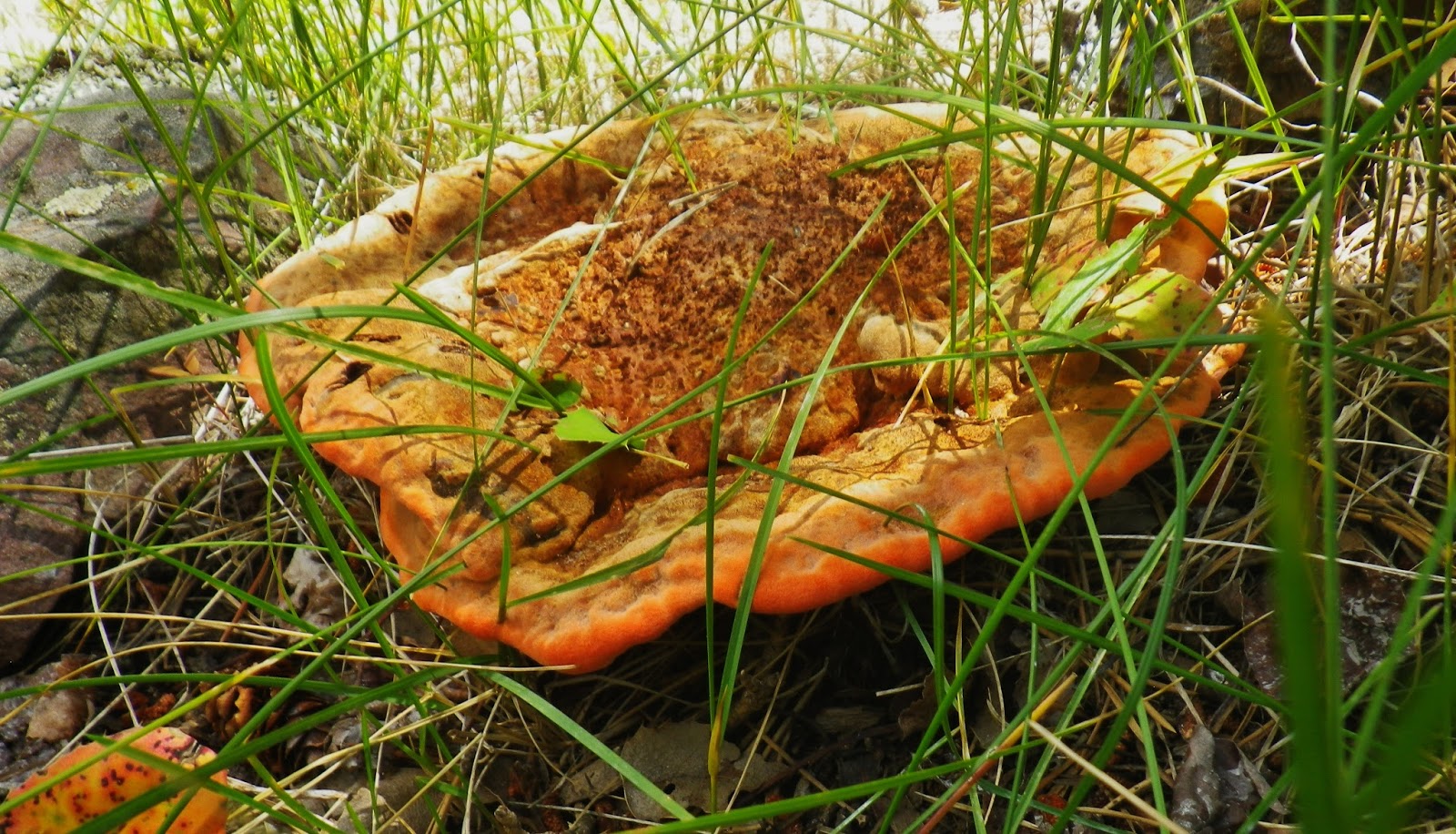
…..and always more mushrooms, some quite colorful and unique.
We have now come 4 miles from the trailhead and in just a moment will cross the river, and look for a camping spot.
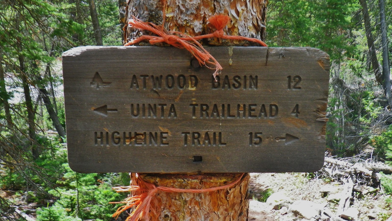
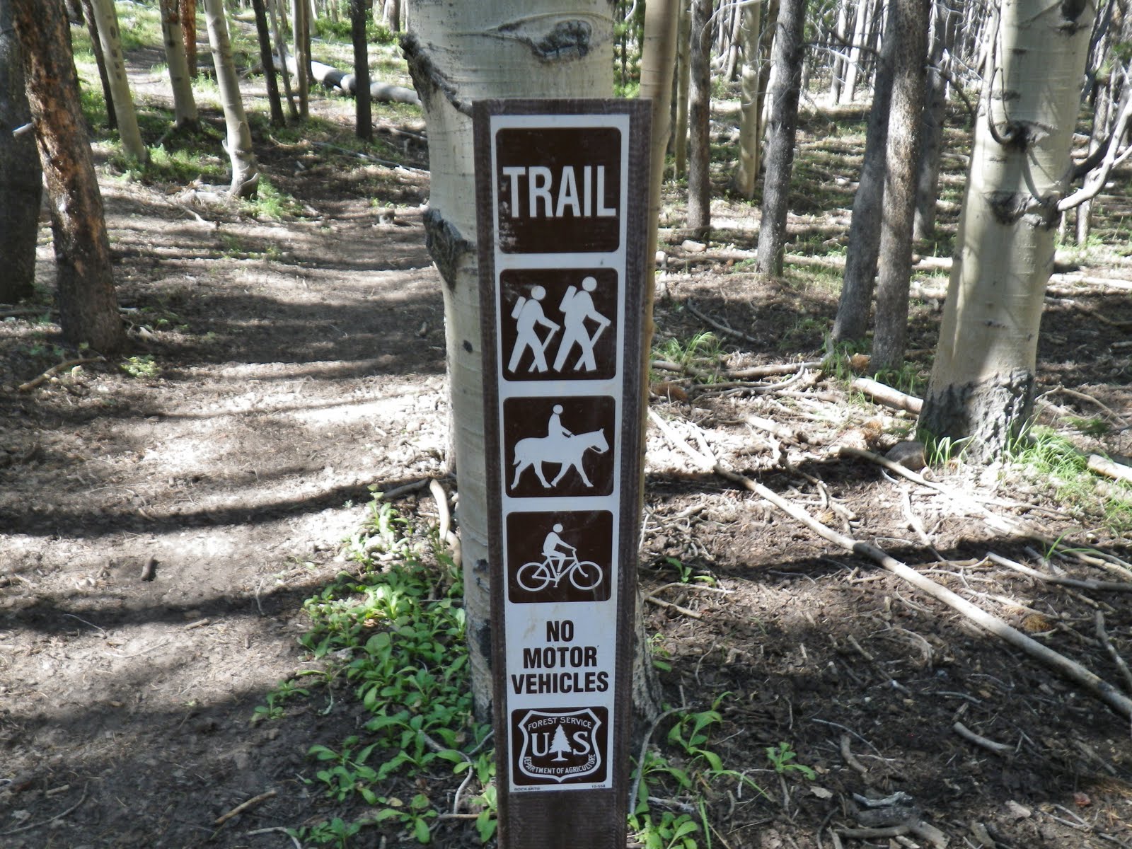
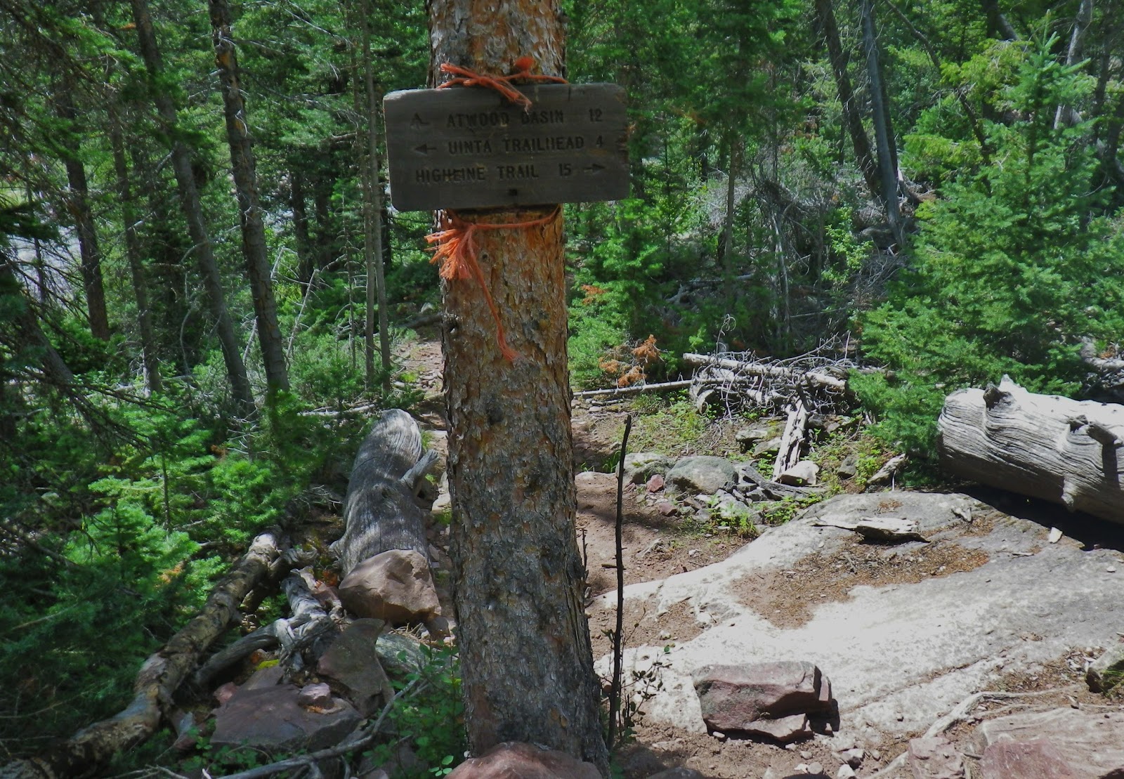
We will take the trail to the Atwood Basin.
The trail to the Highline Trail will eventually fork one veering to the northeast to find the Highline Trail that will leave the Uinta River Drainage as it goes over Divide Pass to the North Slope, and others climbing Fox-Queant Pass, and another to North Pole Pass, both leading to the Whiterocks Drainage.
The other fork of the Uinta River Trail takes one to North Park and forks again, one going north to the Highline Trail, and another to the west and Painter Basin, forking again to Kings Peak, another to Gunsight Pass and the Henry’s Fork Drainage. Another fork in Painter Basin takes one to where we are heading….Trail Rider Pass.
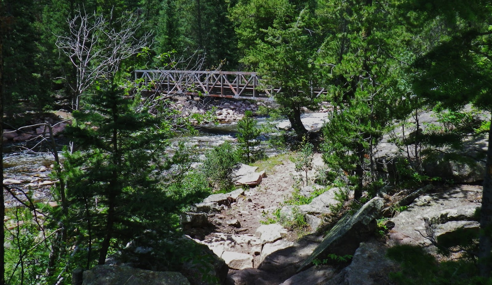
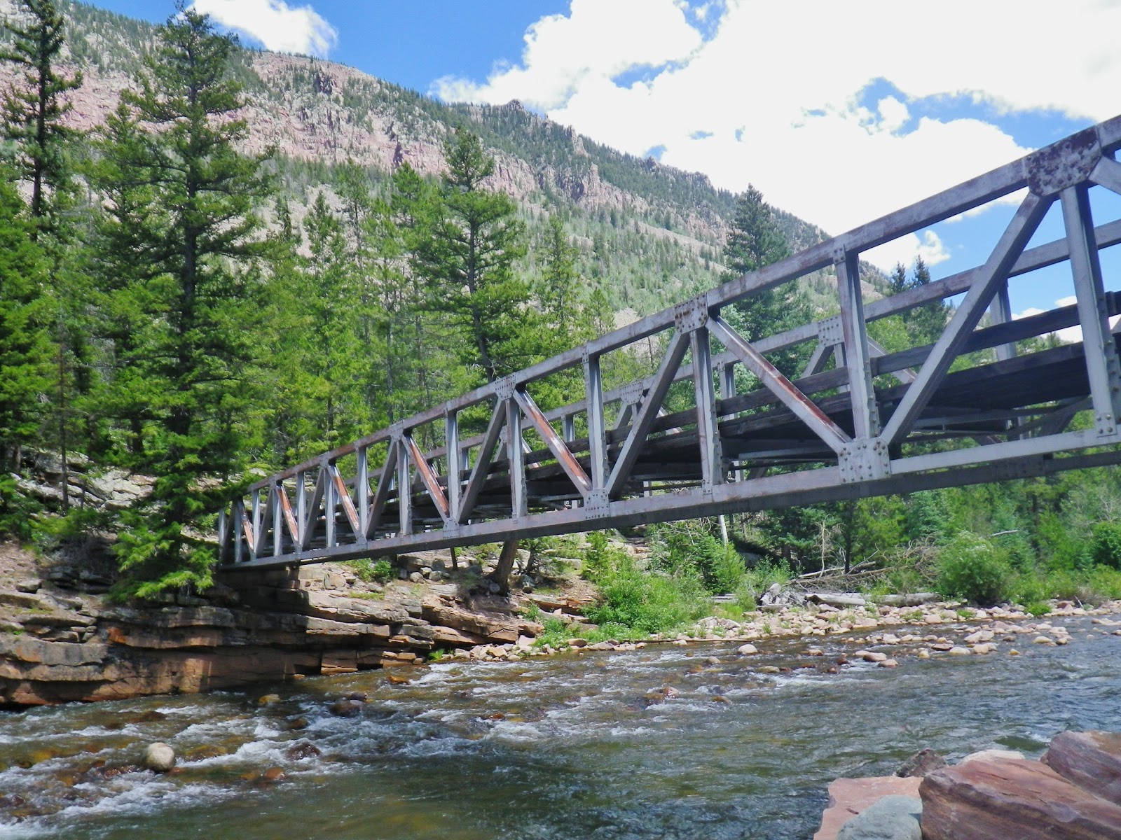
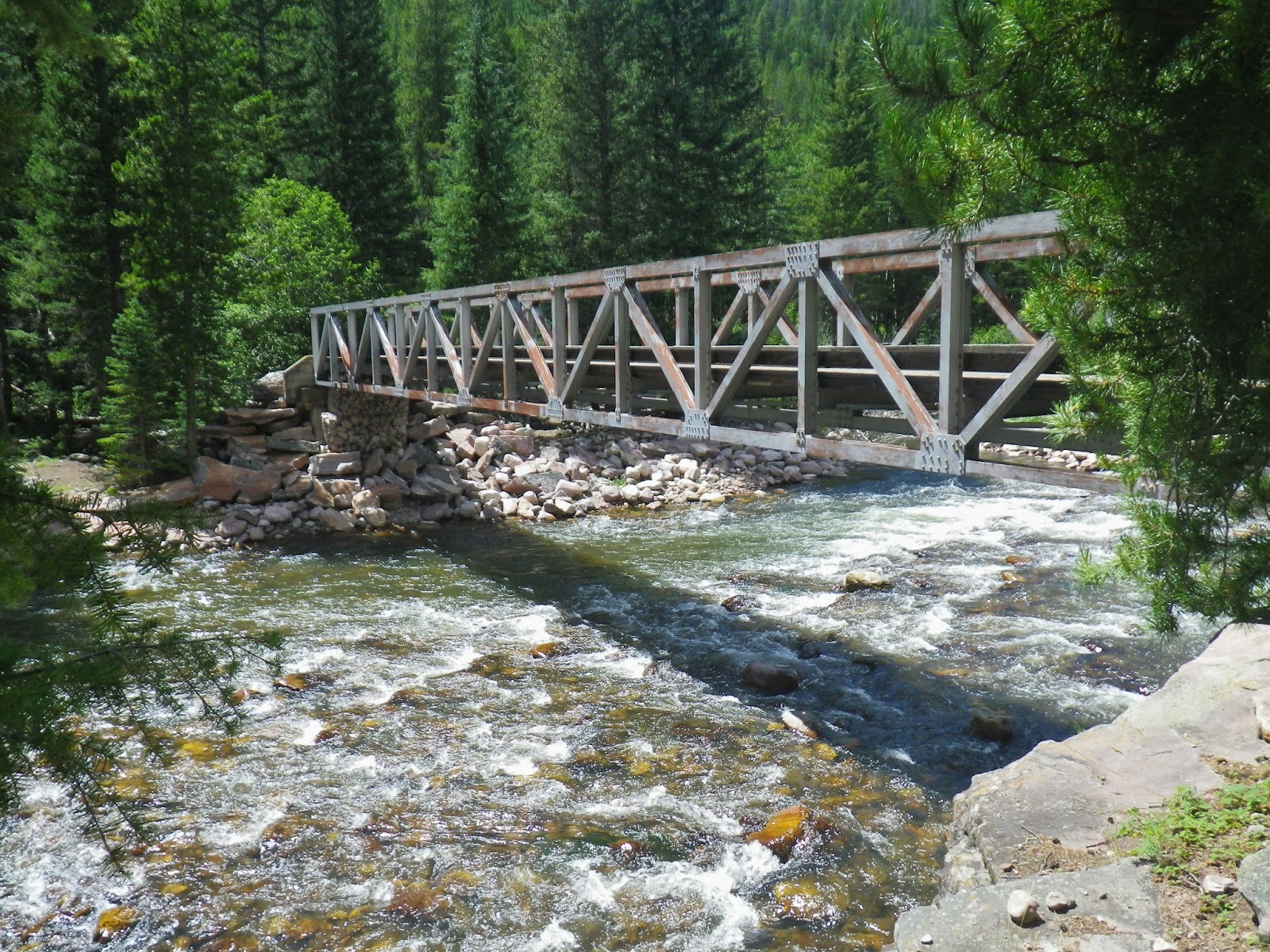 We will now cross the Uinta River on the bridge, and then…..the fun begins…15+ switchbacks up the mountain!
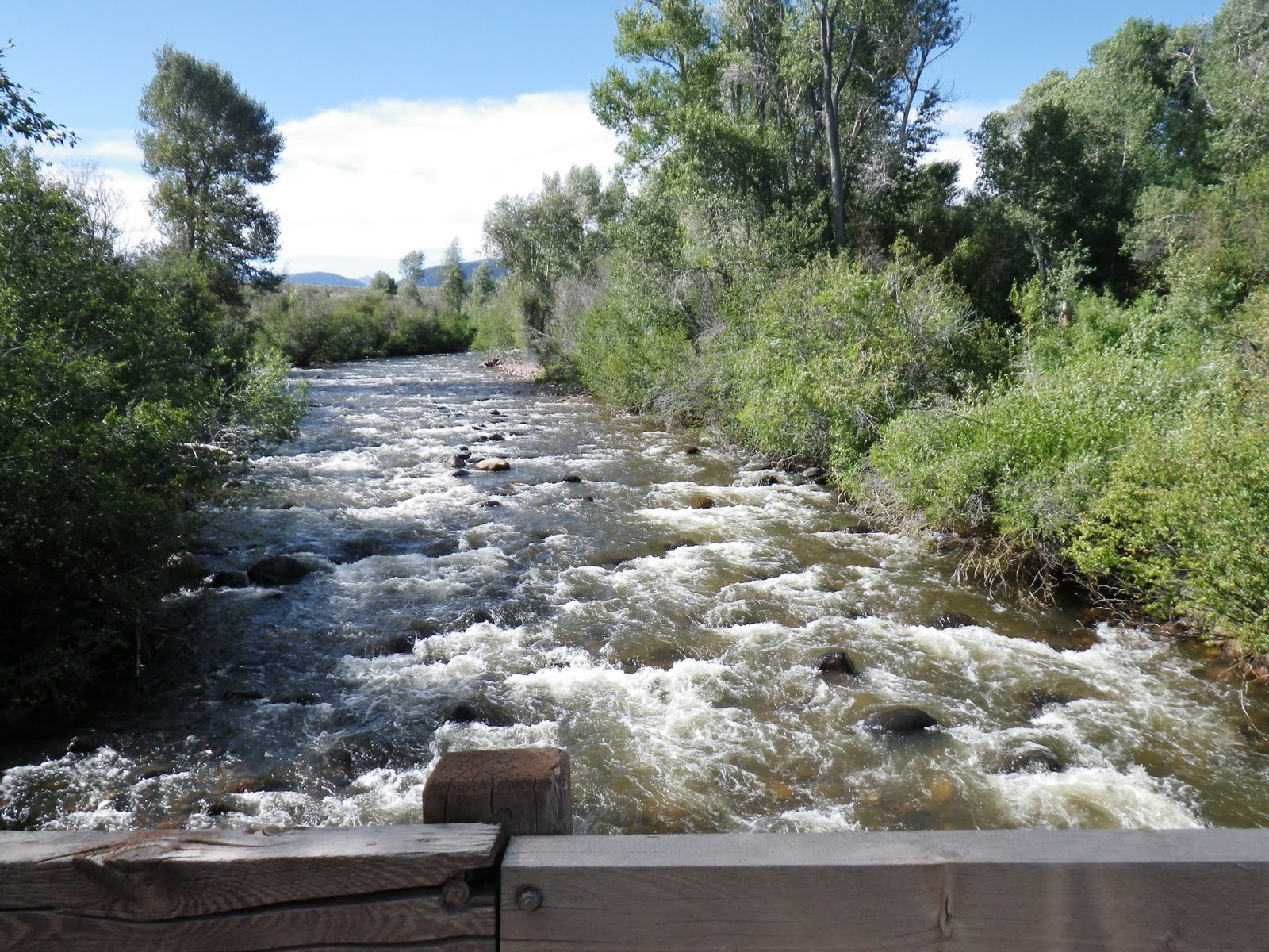
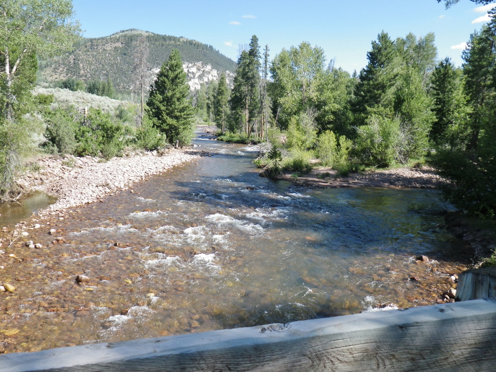
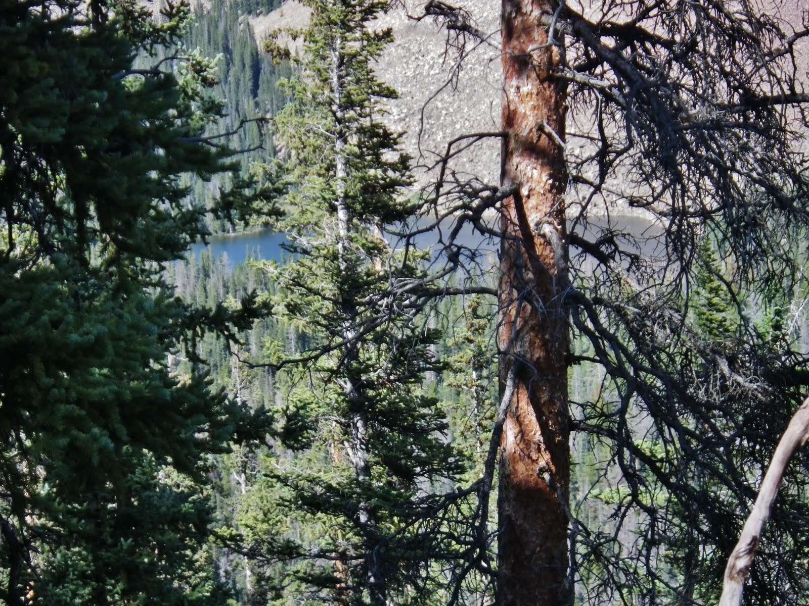
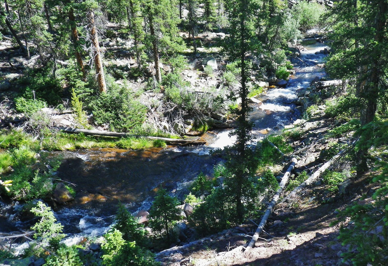
From the middle of the bridge we look downstream….miles and miles of a stream that sees few fishermen.
And, we turn around and look upstream where even fewer fishermen have ever cast a line…
Eventually the Uinta River, as well as most of the streams that come out of the mountains, are squeezed into narrow ravines that you would have to rope down into…..but a few years ago–in fact, more than 50 years ago, where the Atwood Creek joins the river, you see above, I was able to get down to the river and caught the beautiful trout you see below…
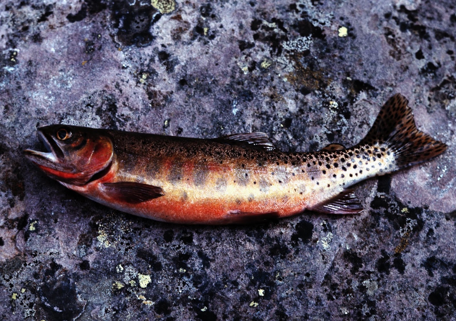
Golden trout were planted in several lakes in the Atwood area clear back then, and the record Golden trout for Utah was taken from the upper Atwood Creek (14 oz., 14-5″ long in 1977)…..so I have always imagined that this trout was a hybrid, with the slash under its jaw denoting it as a native cutthroat trout, but the coloration seems unique, as though crossed with a golden trout–at least it sure looks “golden” to me.
On this backpack I was hoping to test the waters of the two lakes recently planted with Golden trout (2012-2014).
On this backpack I was hoping to test the waters of the two lakes recently planted with Golden trout (2012-2014).
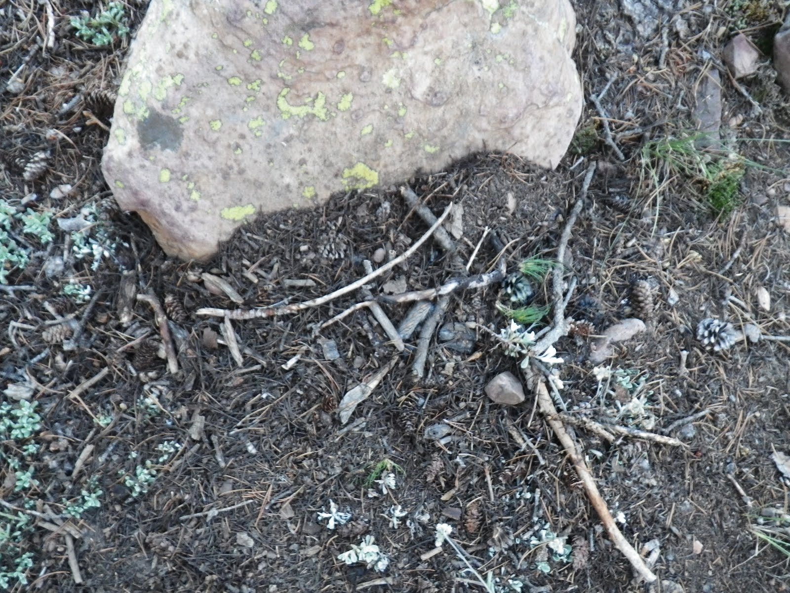
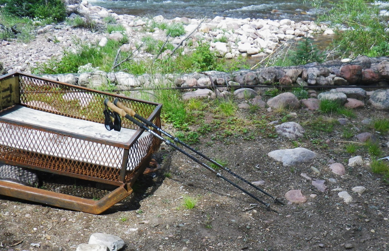
Now, acrossed the bridge, I would look for a camping spot….noting below–happily… that a wise hiker abandoned his trekking poles! As I have explained several times in my writings, I have better things to do with my hands than be encumbered by poles–but again, that’s just me.
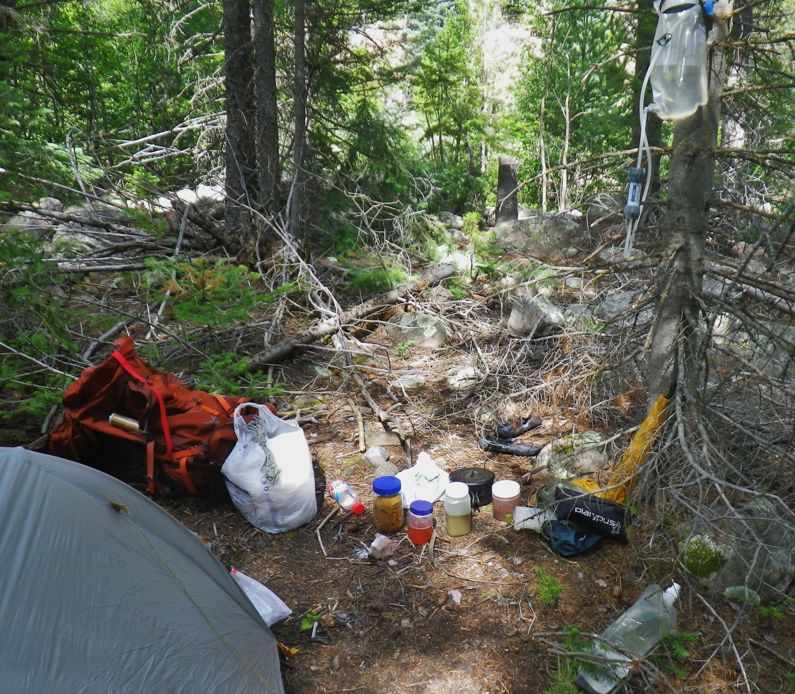
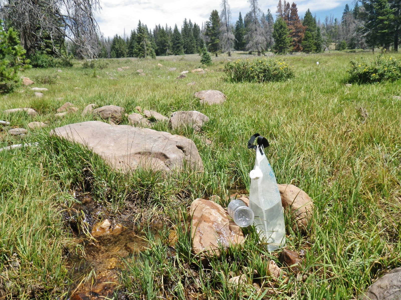
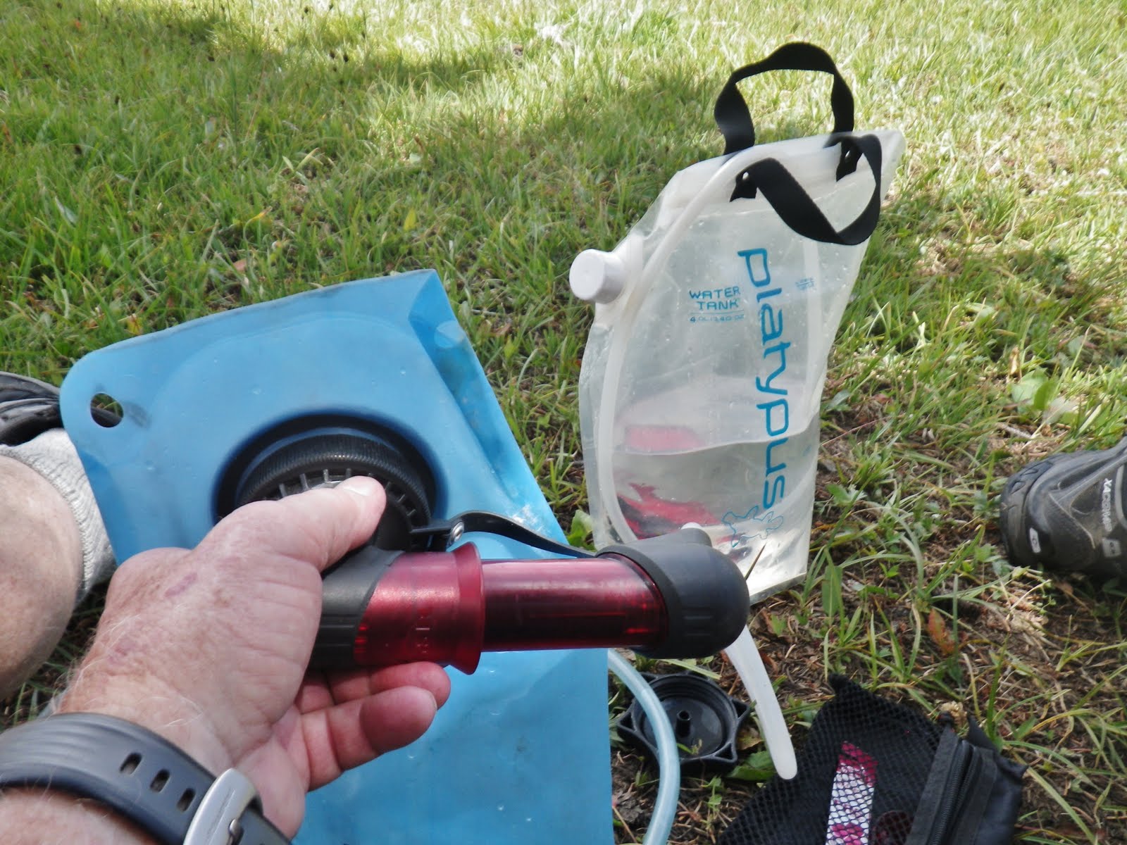
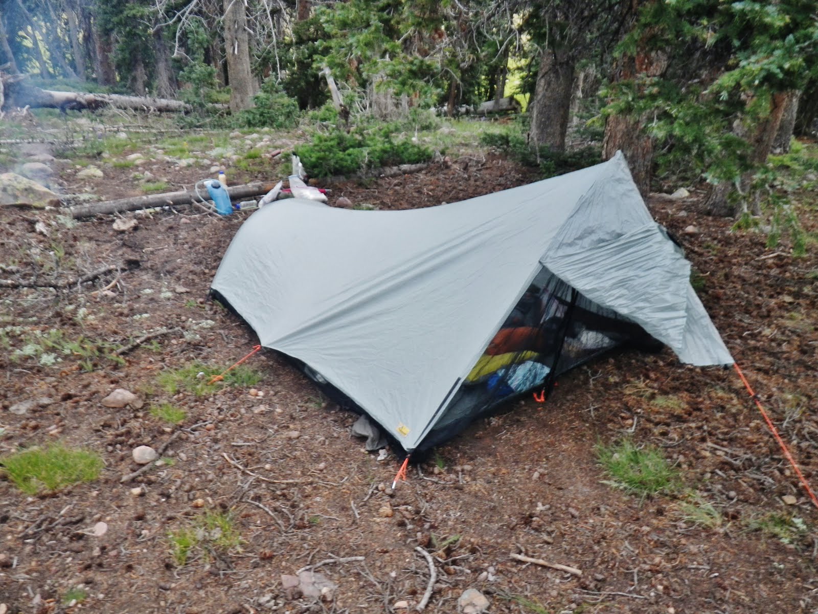
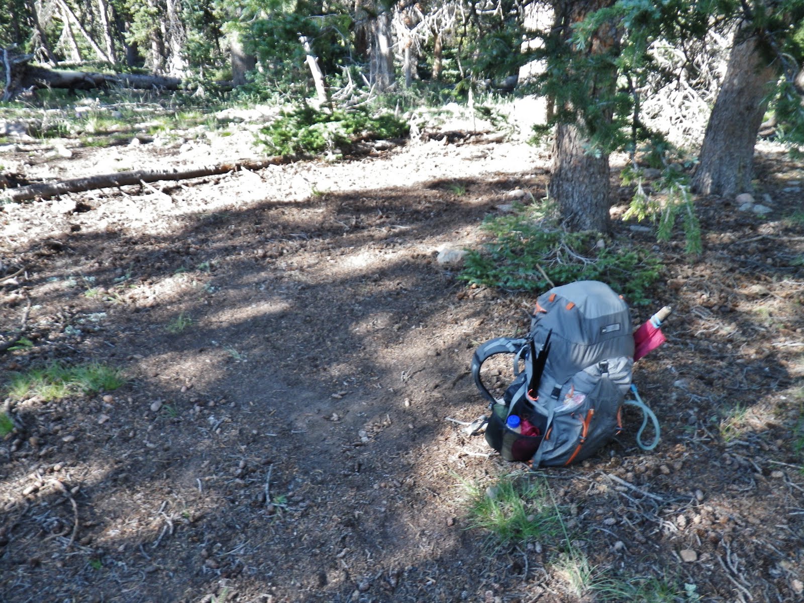
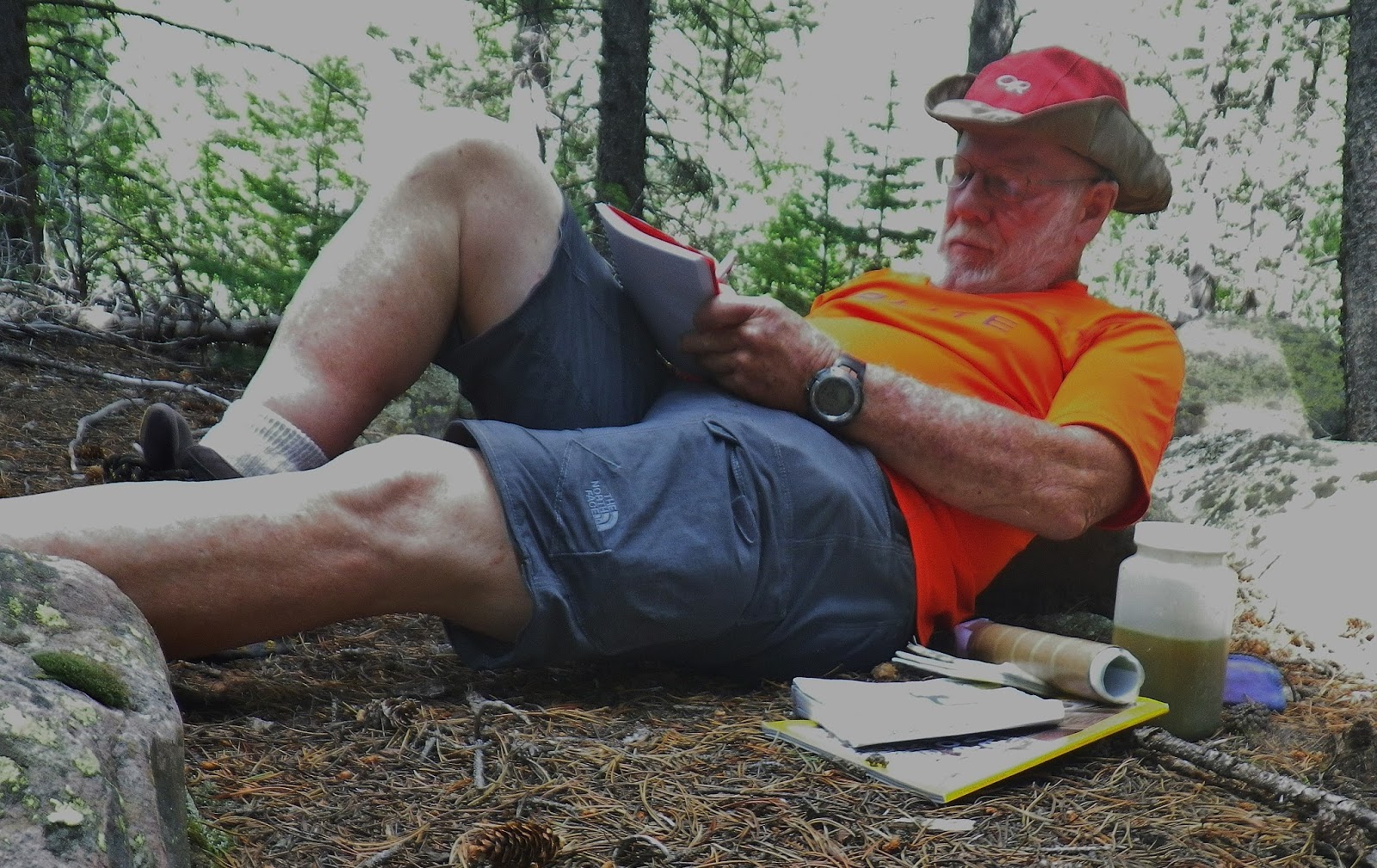
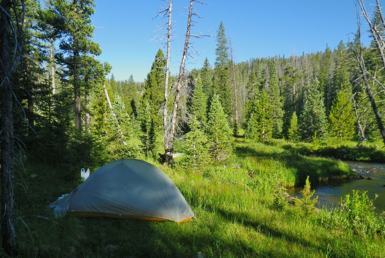
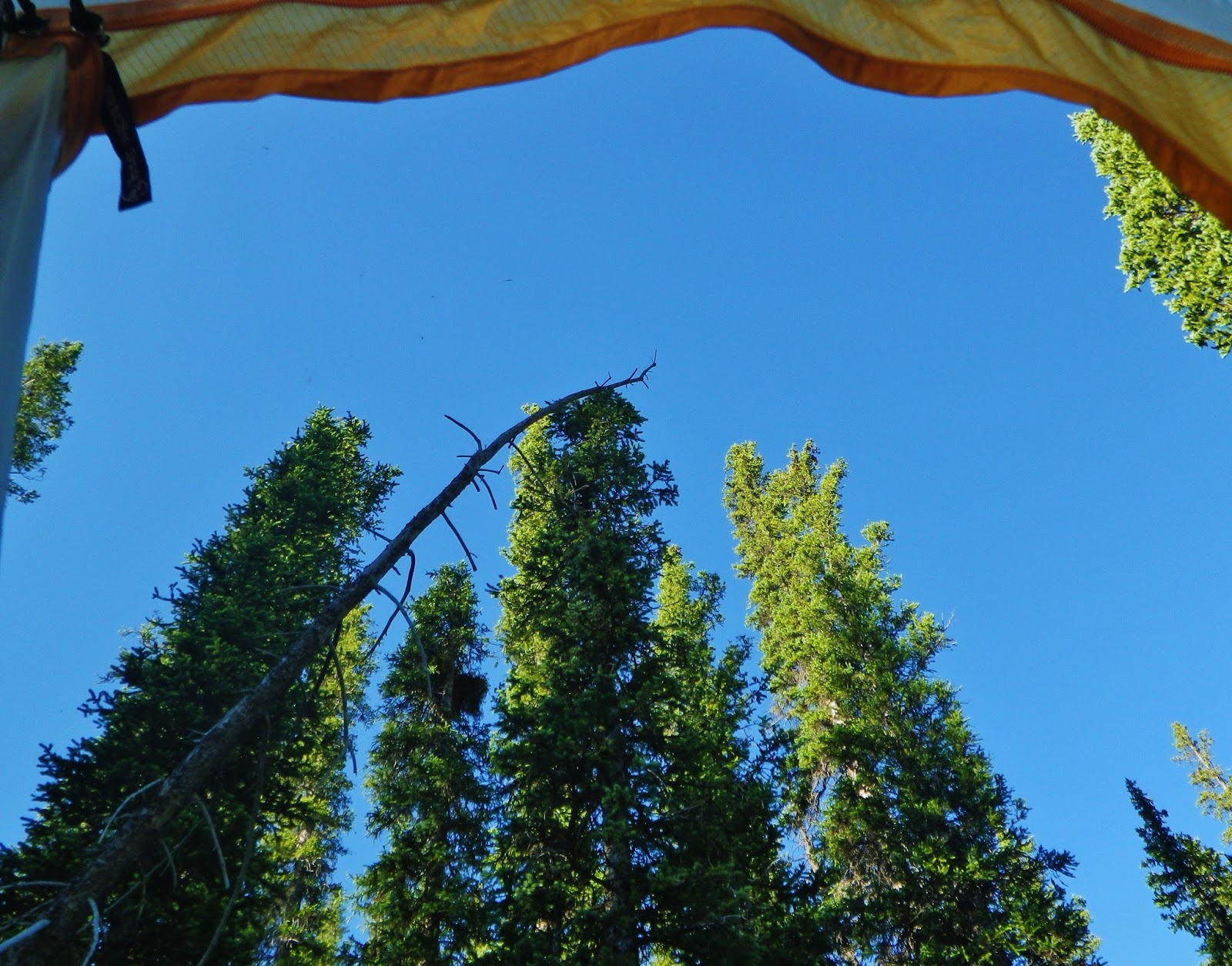
1st camp.…Gravity Works Water purifying system doing the work of providing me with safe water while setting up the tent, and getting all my recovery supplements ready, along with dinner…and then be able to rest, write a little and read a good book.
NOTE: Notice that icky looking green liquid? It’s my “double dose electrolyte replacer,” the first thing I take to “recover.”
Now, DAY TWO…..up the trail, and I really mean UP. I started counting the switchbacks, got to 15 and then got a little confused and lost count!

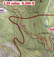
The red dotted line is the trail going up, the black the trail going down. But the important thng is that in the distance covered by the portion going 2/3rd of the way across the map only shows like 5 switchbacks, when the reality is that there were more than 15 major switchbacks. The approximate 5 miles measured on the map for the 2nd day, most likely was from 7-8 miles when considering the switchbacks. This will be important in just a moment.

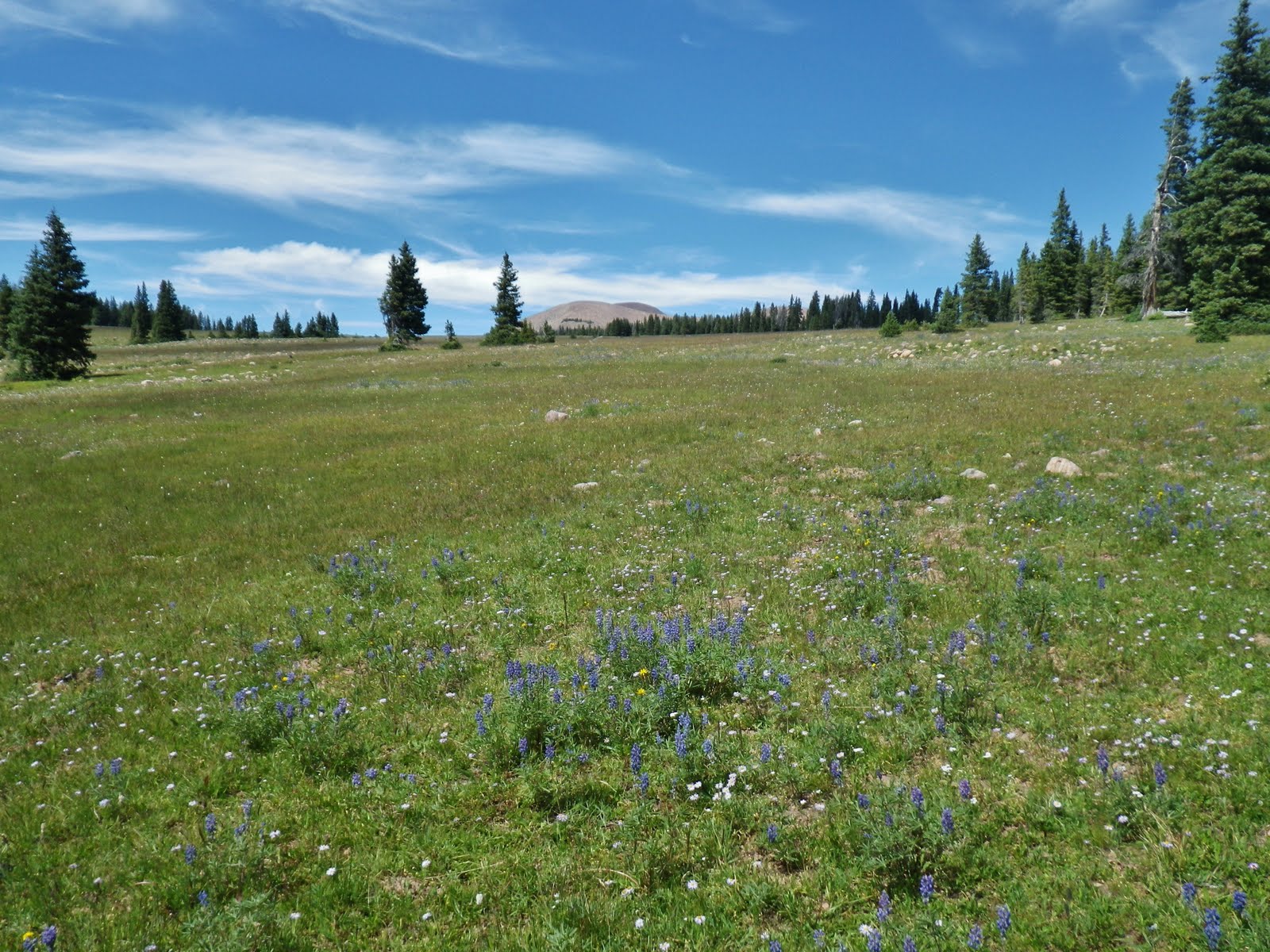
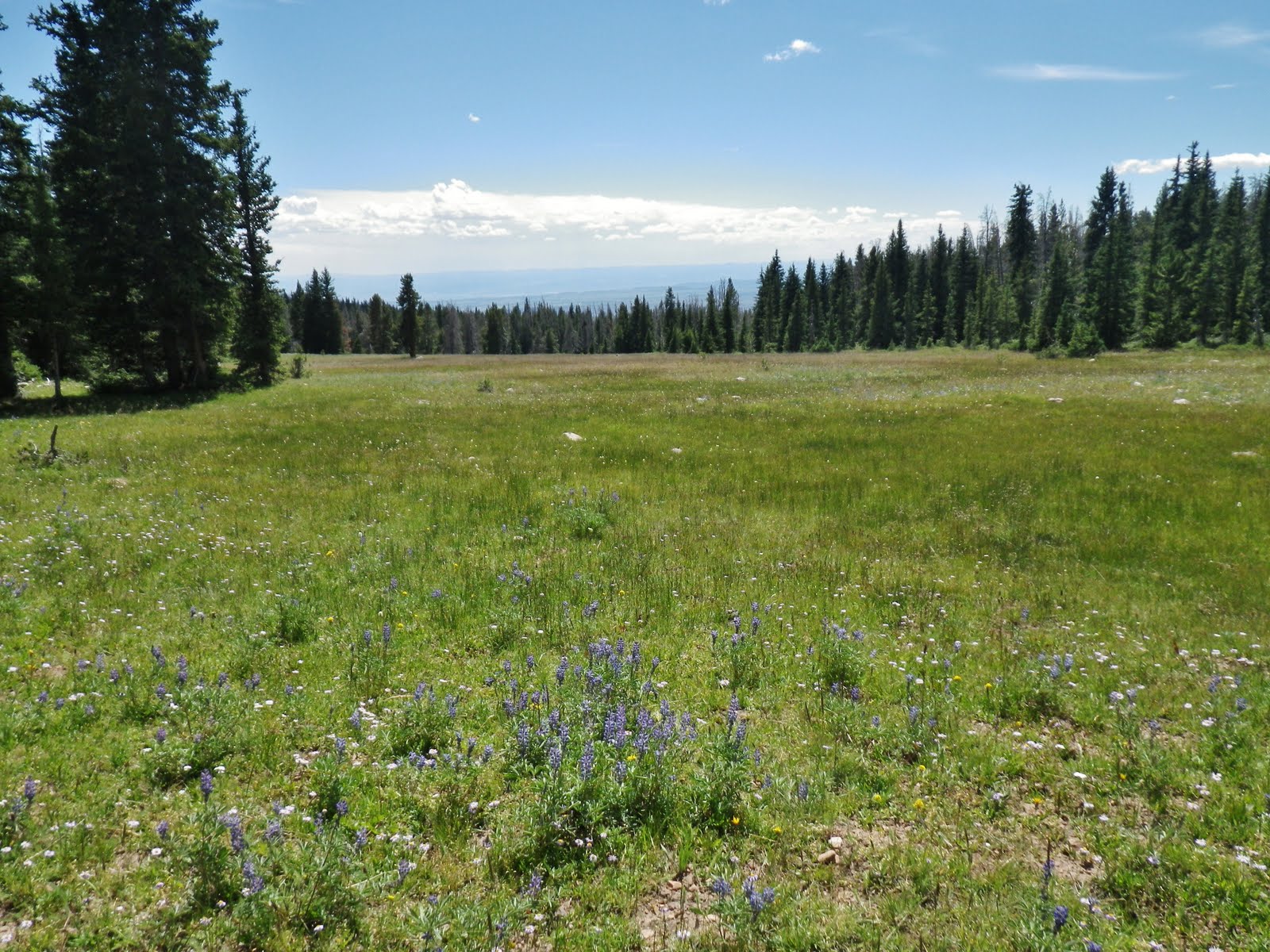
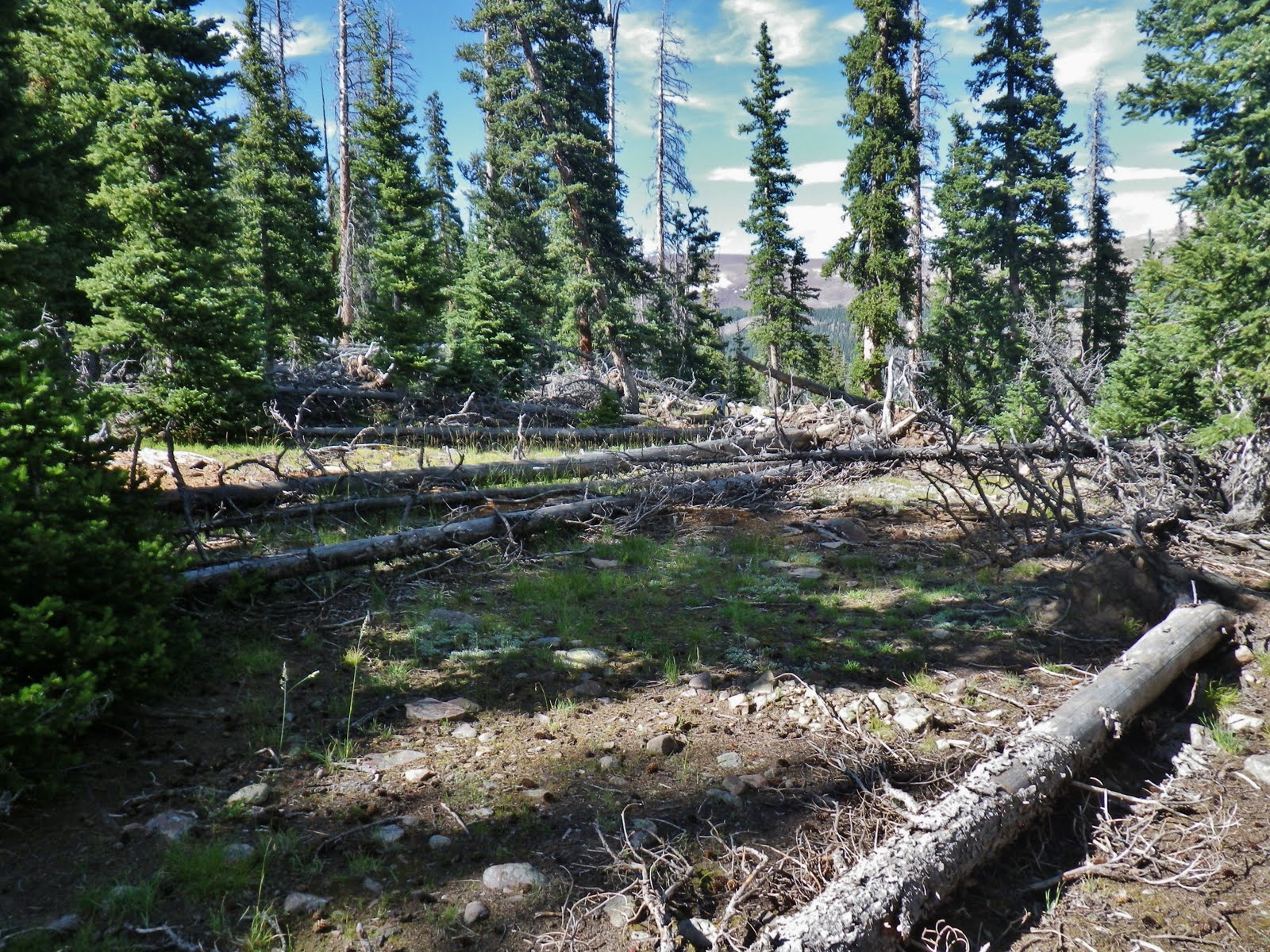
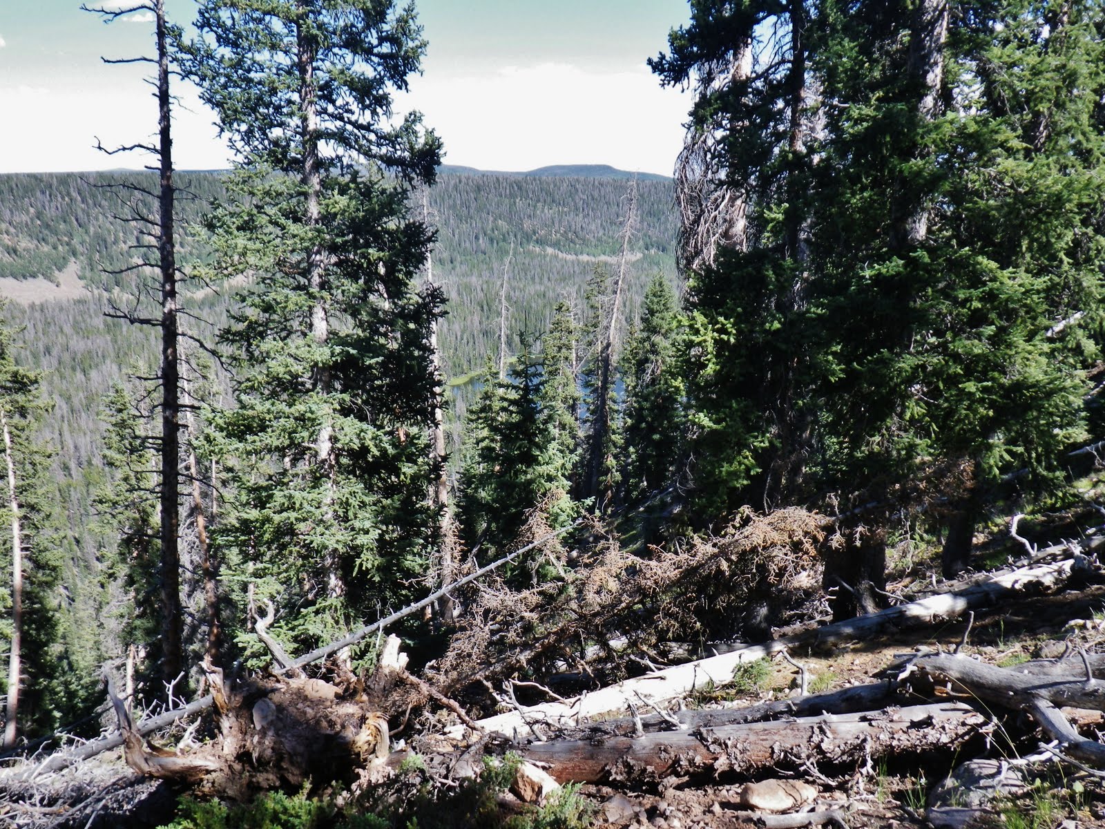
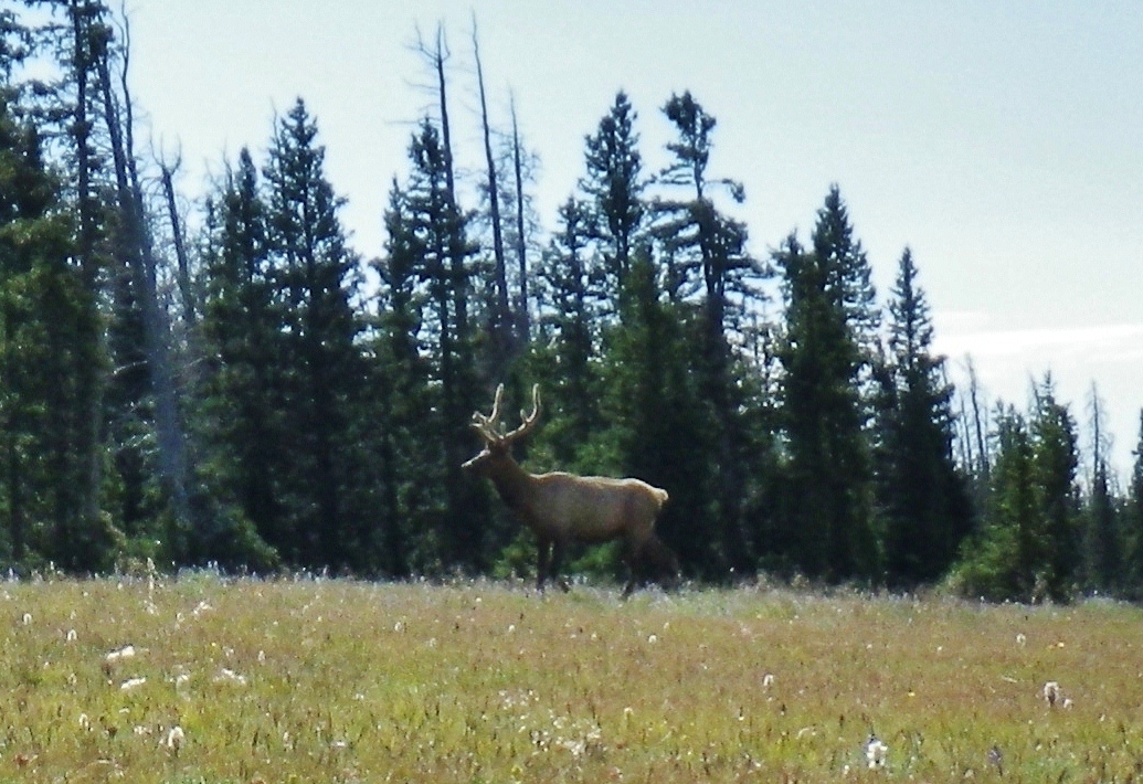
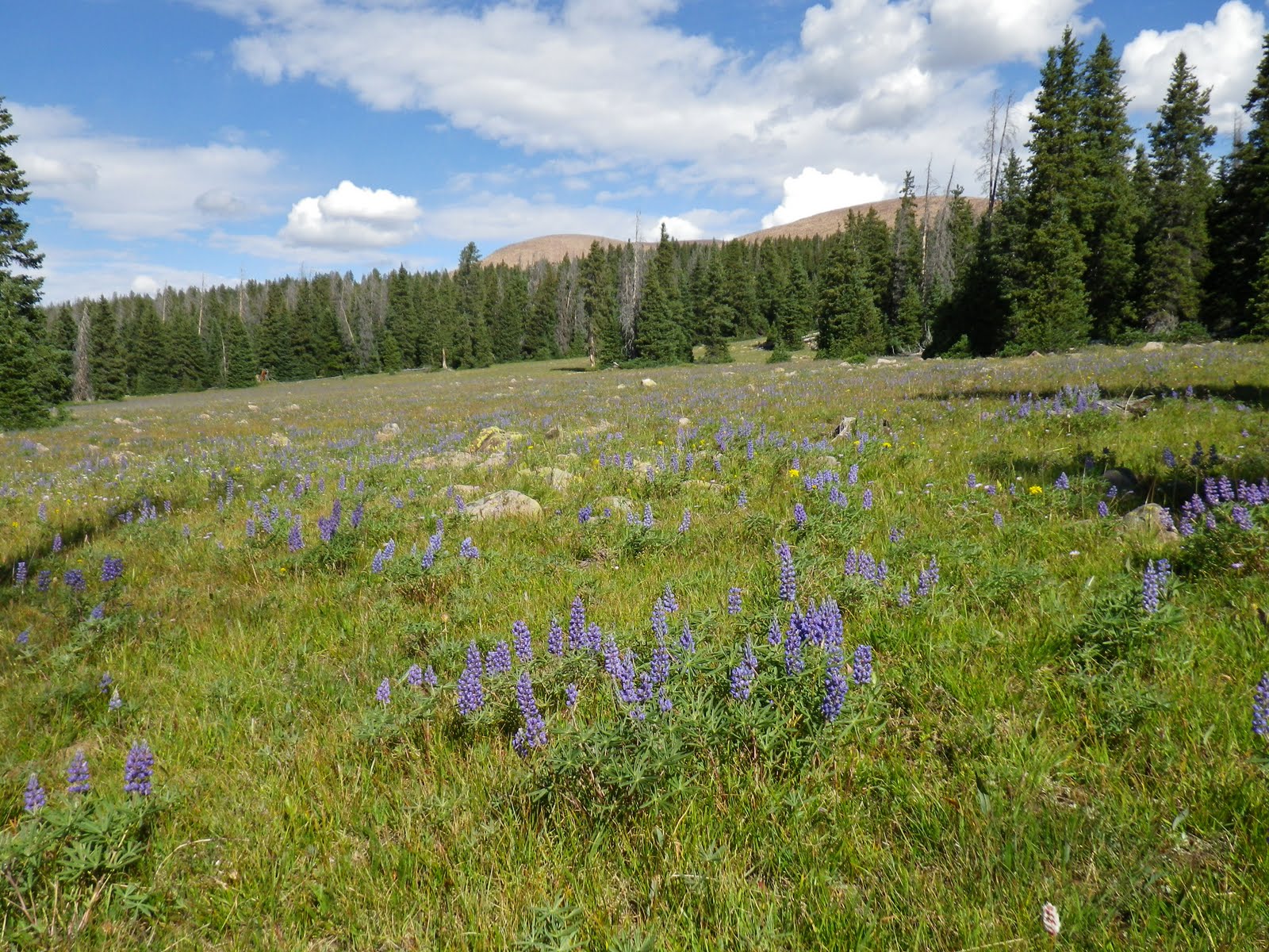
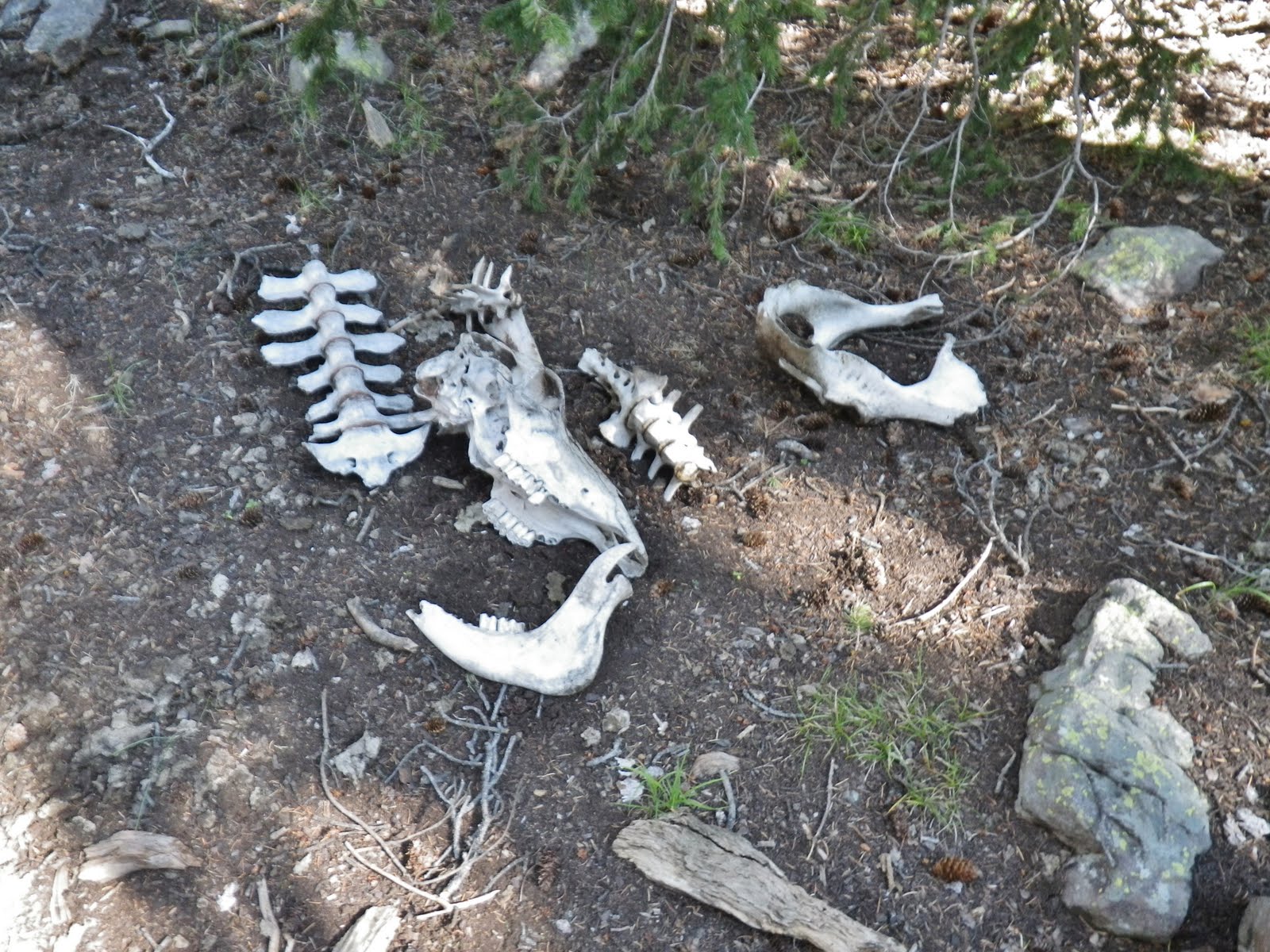
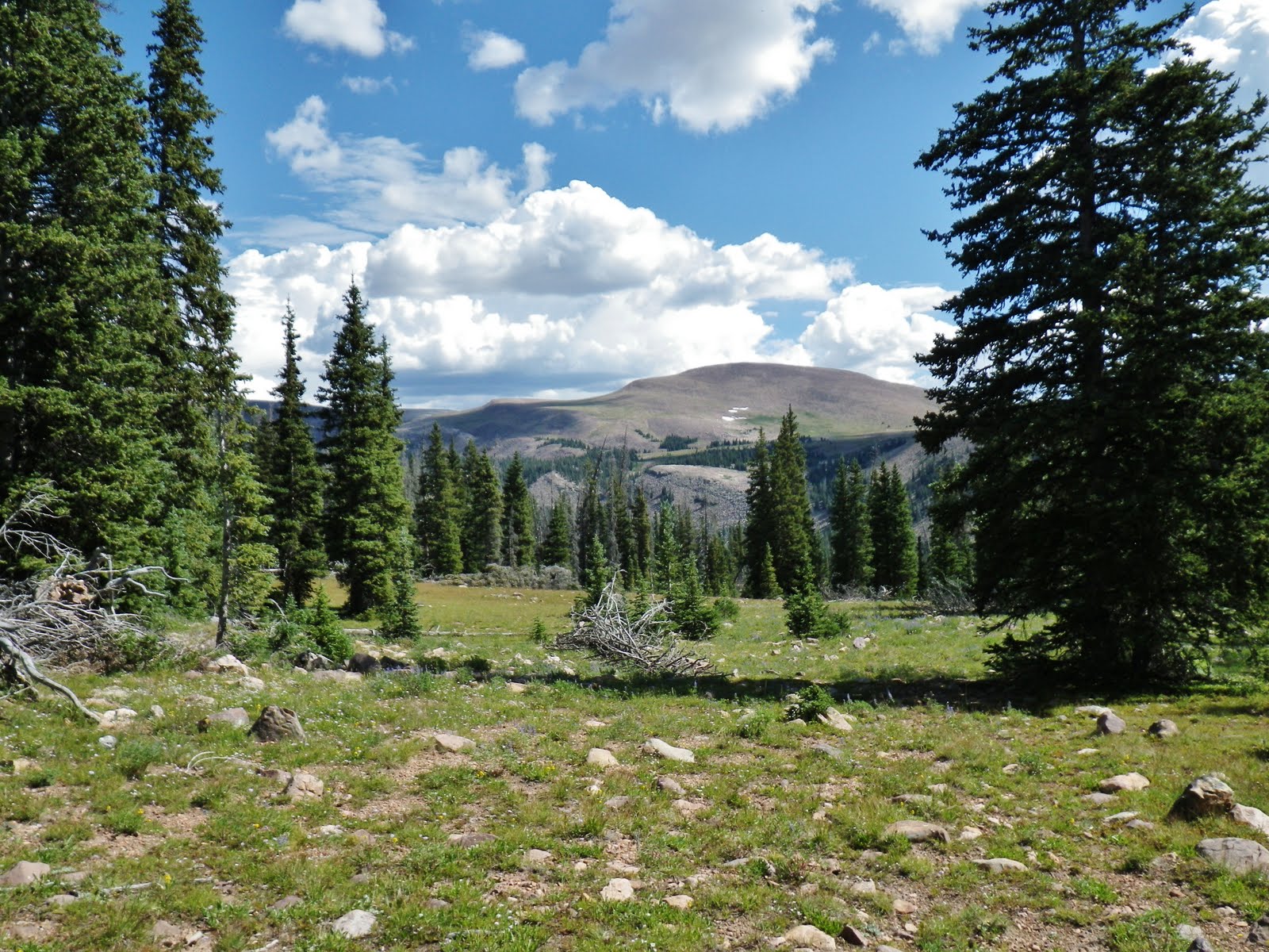
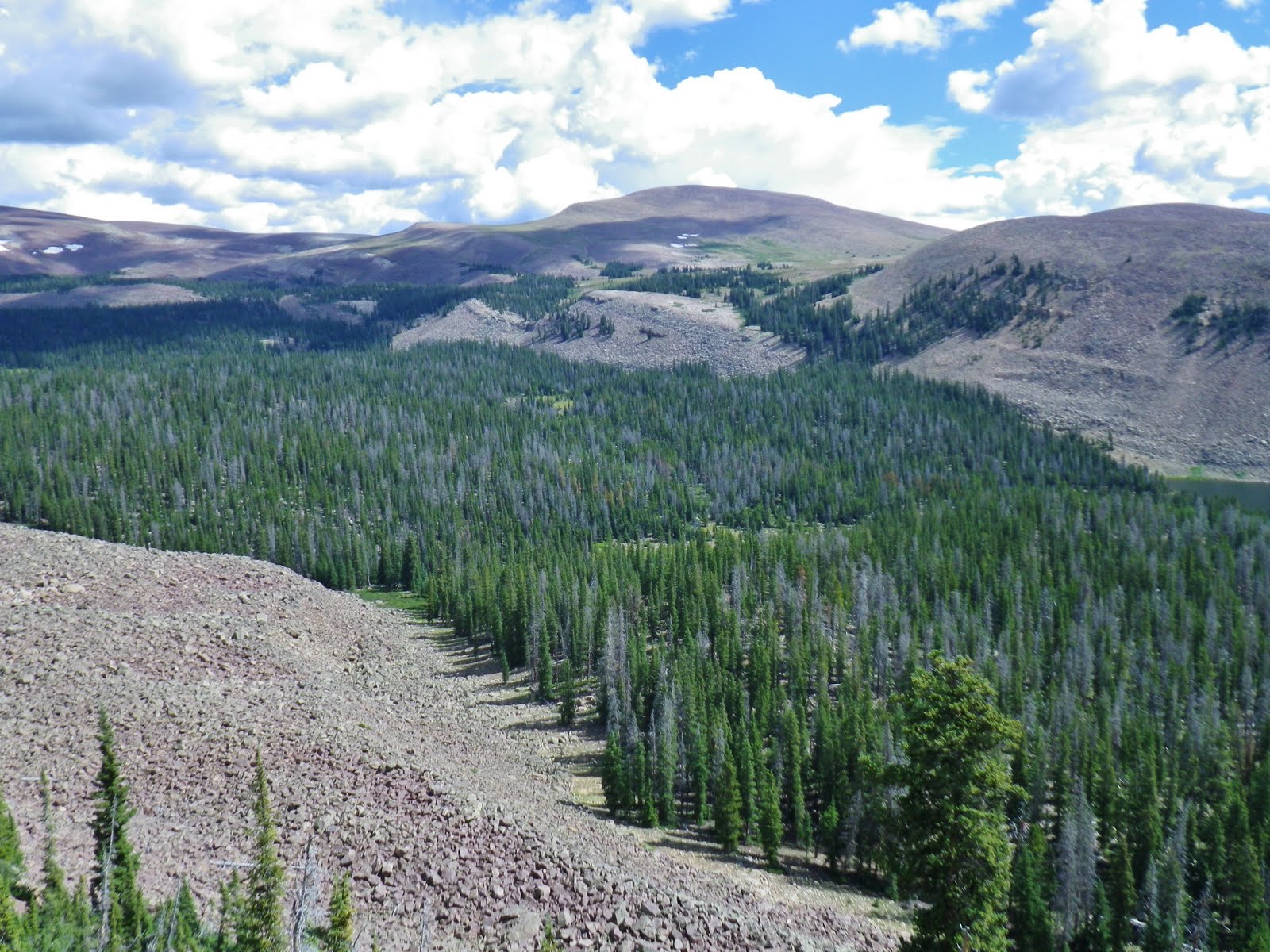
In the meantime ENJOY THESE WONDERFUL VISIONS OF NATURE!
In the movie JEREMIAH JOHNSON with Robert Redford, as a mountain man, he met another who had been there for years, and asked, “Do you ever get lonely?”
He replied, “Lonely for what?”
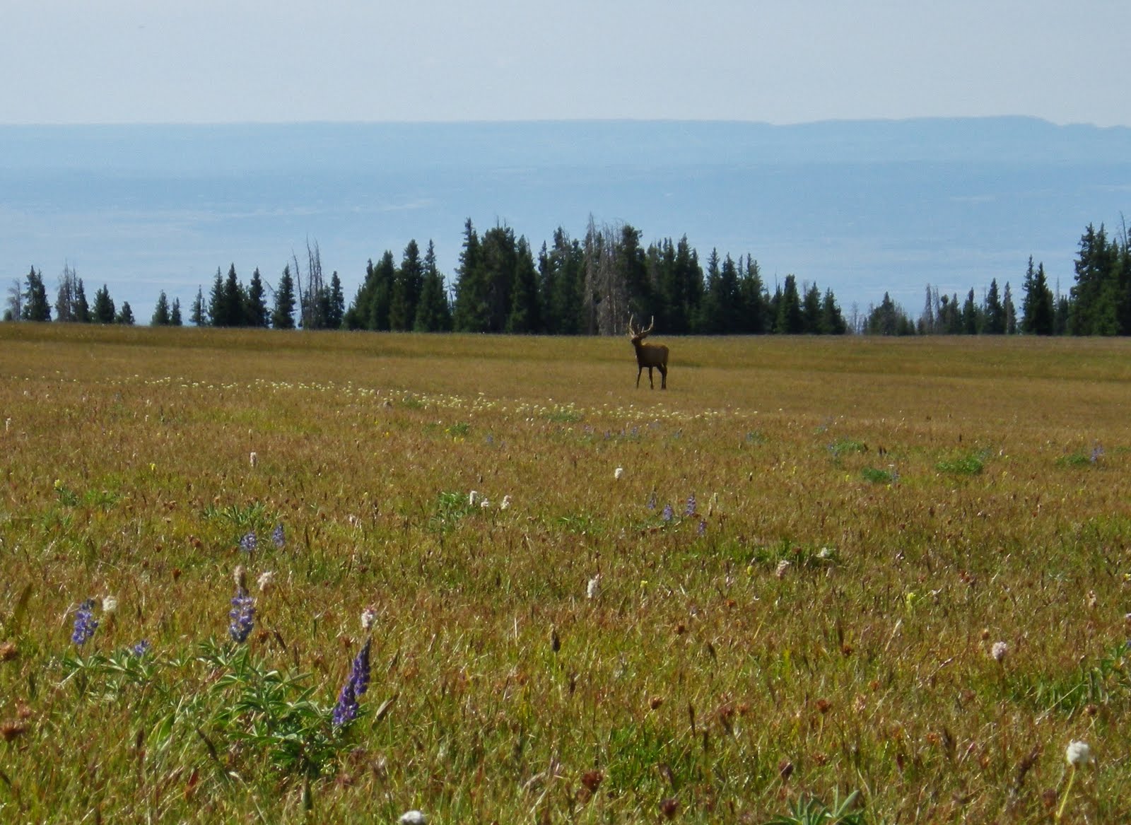
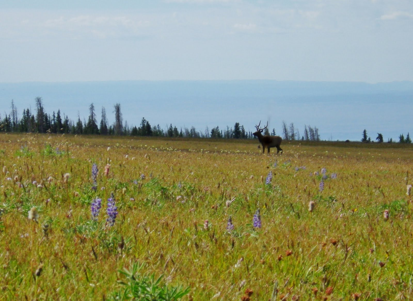
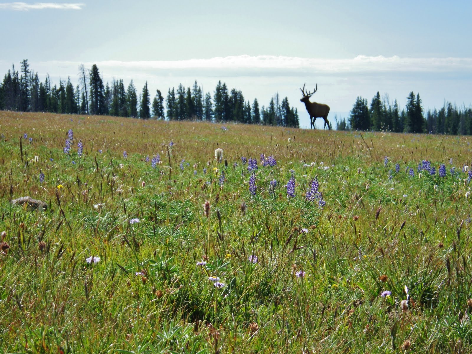
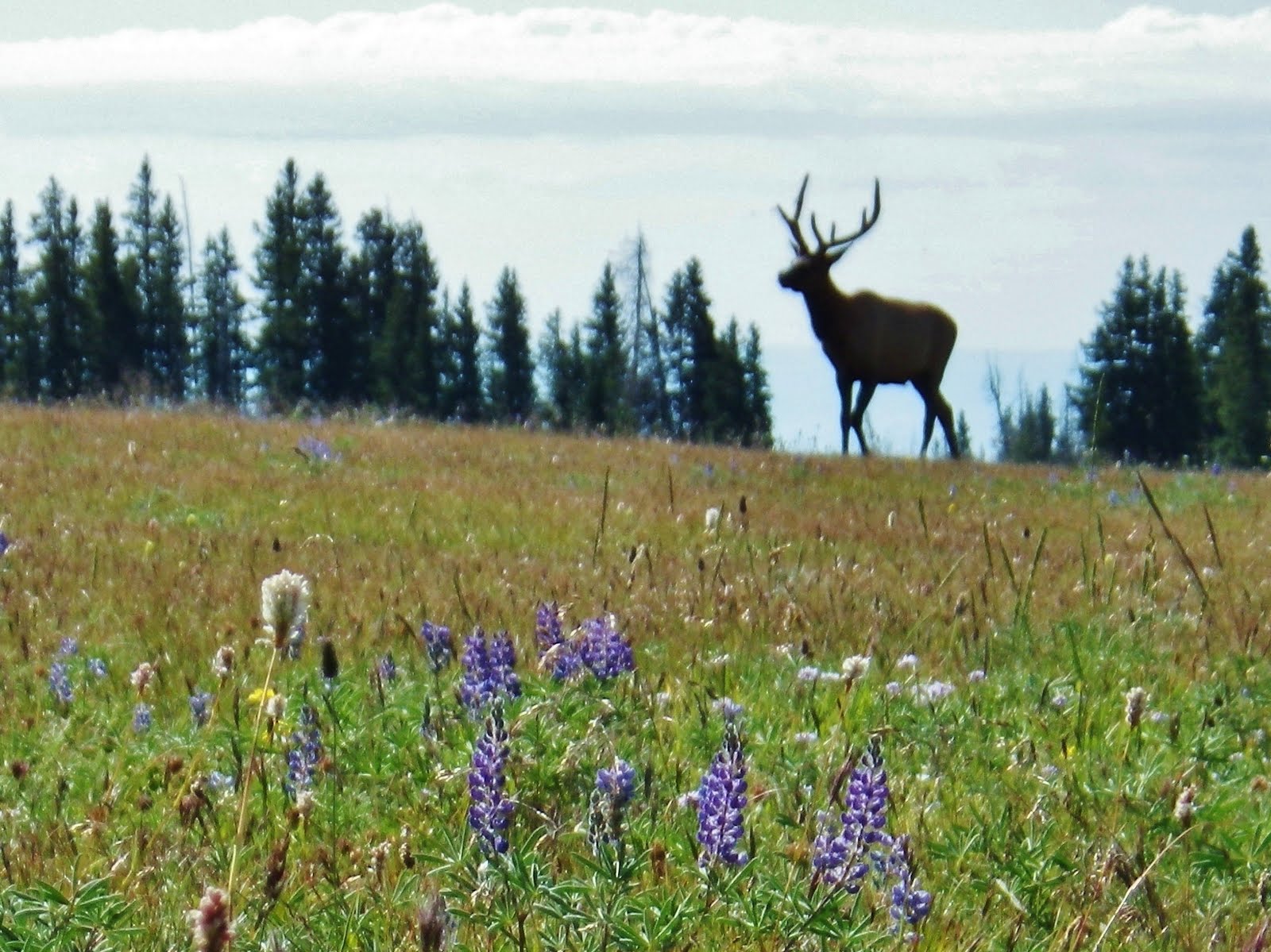
Well, in my case I don’t get lonely for long as I meet wonderful people on the trail, like:
BRETT YOUNG, his family and crew

Meet BRETT, BREA, and JENNA YOUNG, HUNTER JOOSTEN and AARON JEAL
They were on their 5th day having come from the Henry’s Fork Trailhead on the North Slope. They came over Gun Sight Pass, then Anderson Pass, climbing Kings Peak, and then over Trail Rider Pass and were coming down from Lake Atwood, over tough Roberts Pass, and on their way down to the Uinta River Trailhead–50 miles in 5 days!
WOW! What a pleasure it was to meet them.
WOW! What a pleasure it was to meet them.
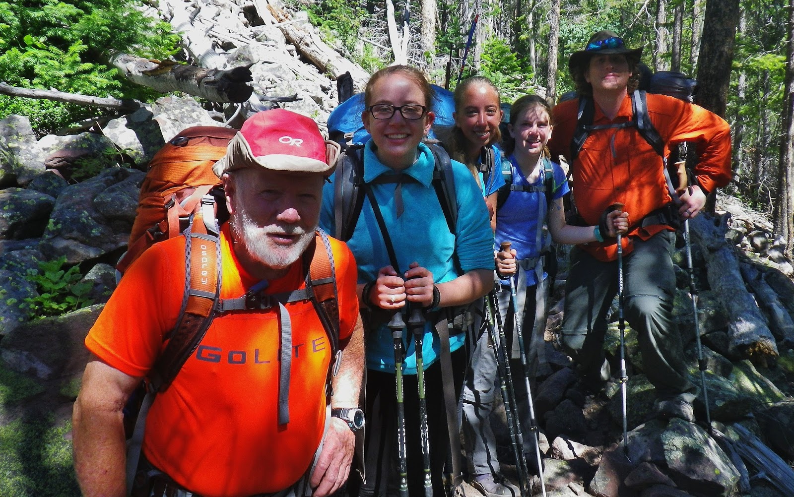
They started wondering what this old guy was doing on that trail heading into rough country, and asked how old I was. I had them guess and they all agreed on 65! What a bunch of great, smart people….but I had to tell the truth that I was in my 80th year.
Brett jotted down his email, and their names, and I didn’t notice until that night his note, that said:
“It was a pleasure meeting you! Have a great trip. You inspire all of us!” Brett Young
Hey, Brett, after reading this, you might want to reconsider, and void publicly your words. So Let me know and I’ll faithfully post here whatever you might say of how my trip worked out.
By the way….when meeting them, I was maybe halfway through my day and I was still feeling exceptionally strong and enthusiastic.
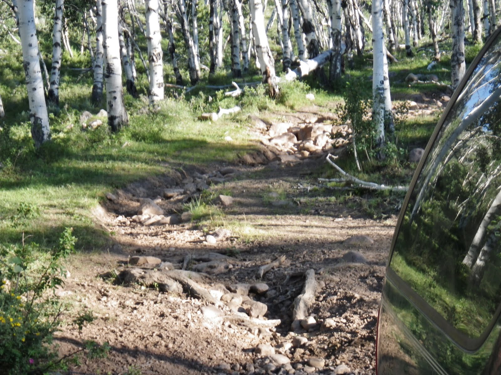
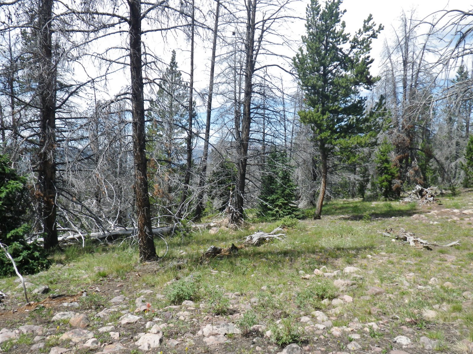
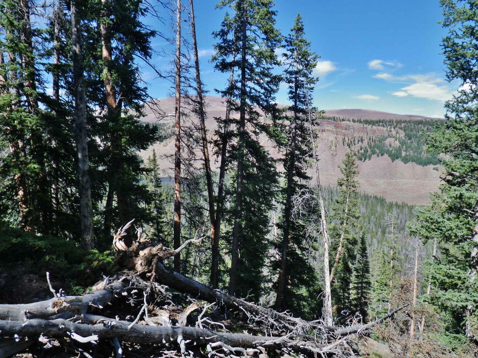
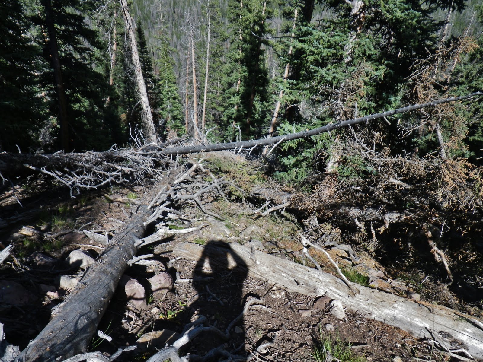
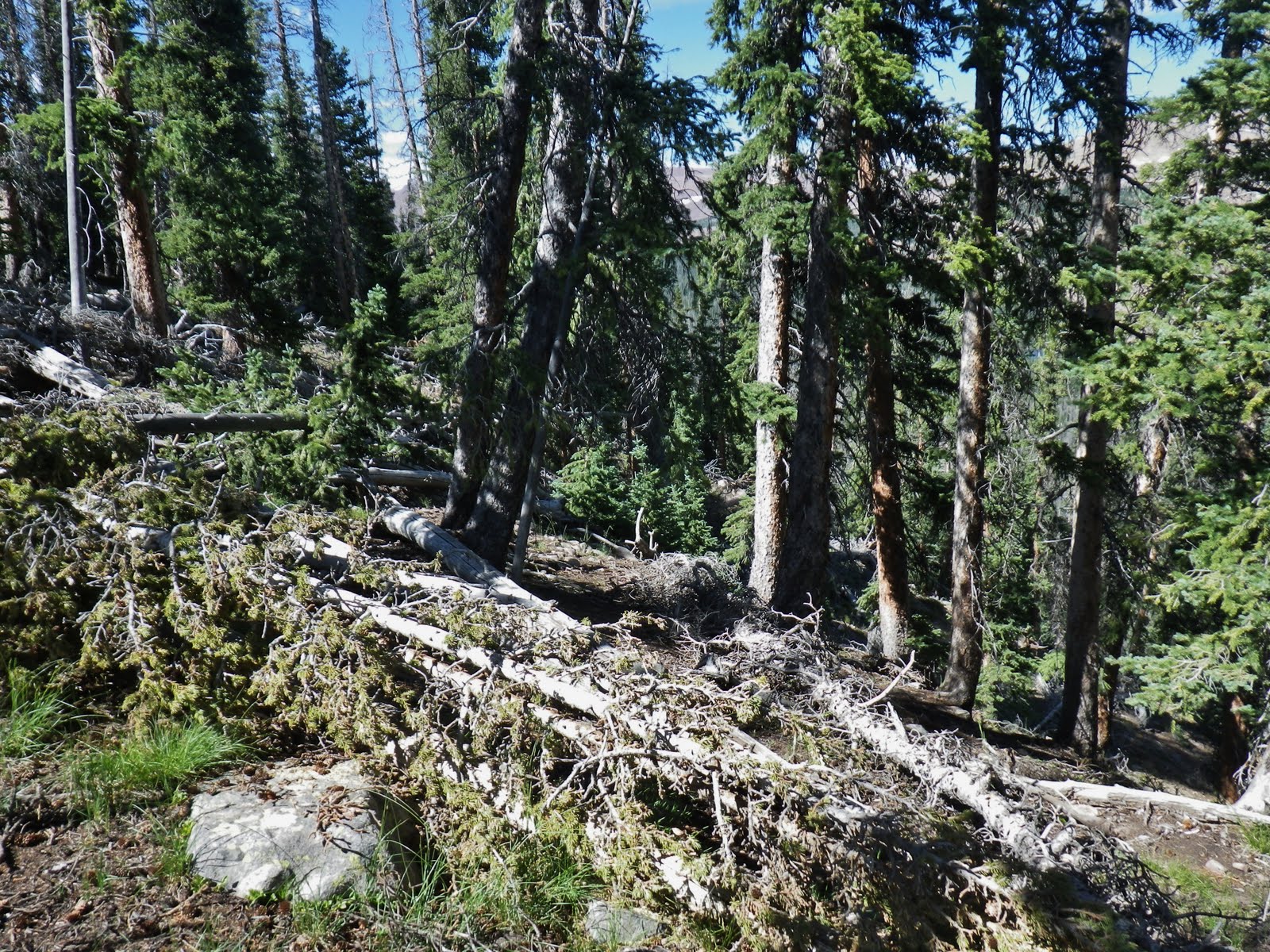
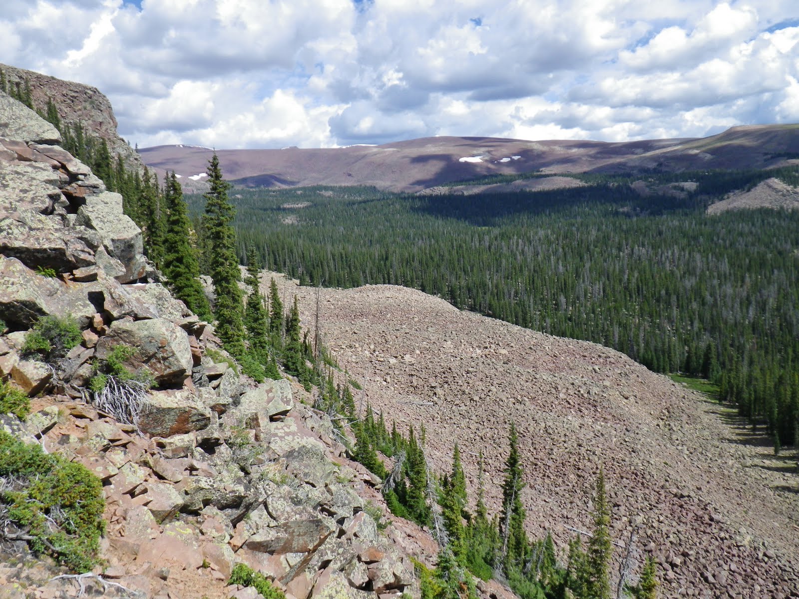
Soon I passed the Wilderness boundary, with most of the switchbacks behind me, but a still very tough trail going up the mountain.

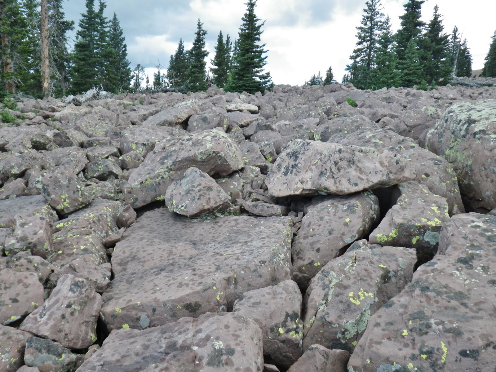
Once in a while the trail came together and even coincides for short distances with an old bulldozer road….when bringing machinery somehow into this steep, rocky country to build up dams that would increase the capacity of the lakes…hopefully to give them more water down in the Uintah Basin later in the season.

Usually it was so extremely rocky that it was impossible to conceive how they did it….at least it was an ever increasing challenge for me!
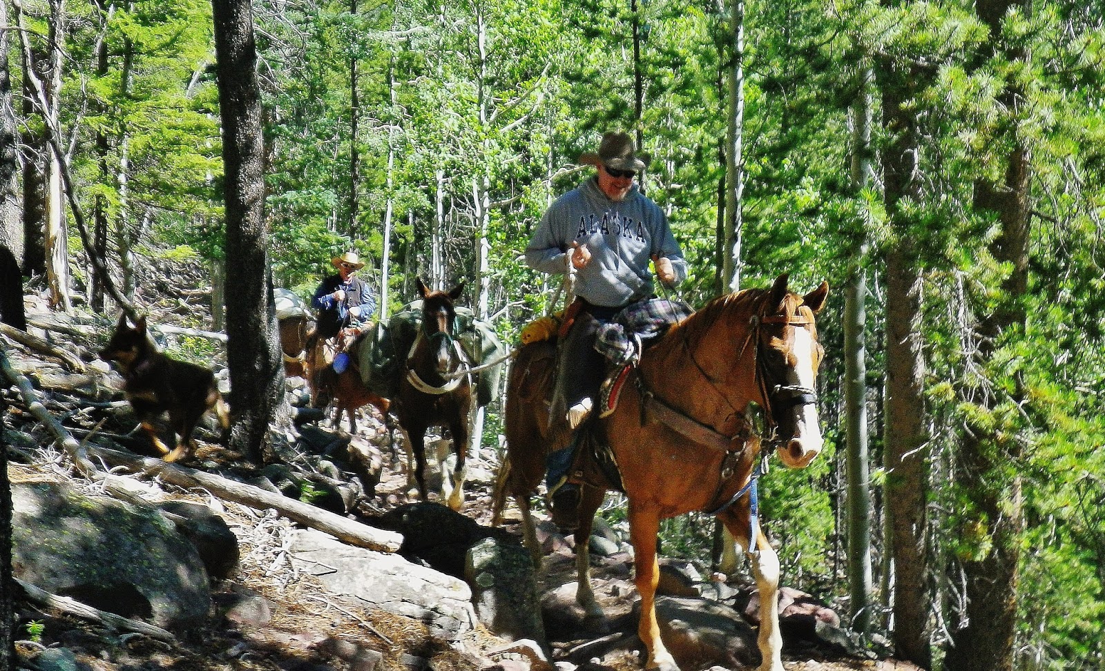
I met many on horseback, most with pack animals to stay several nights in the mountains.

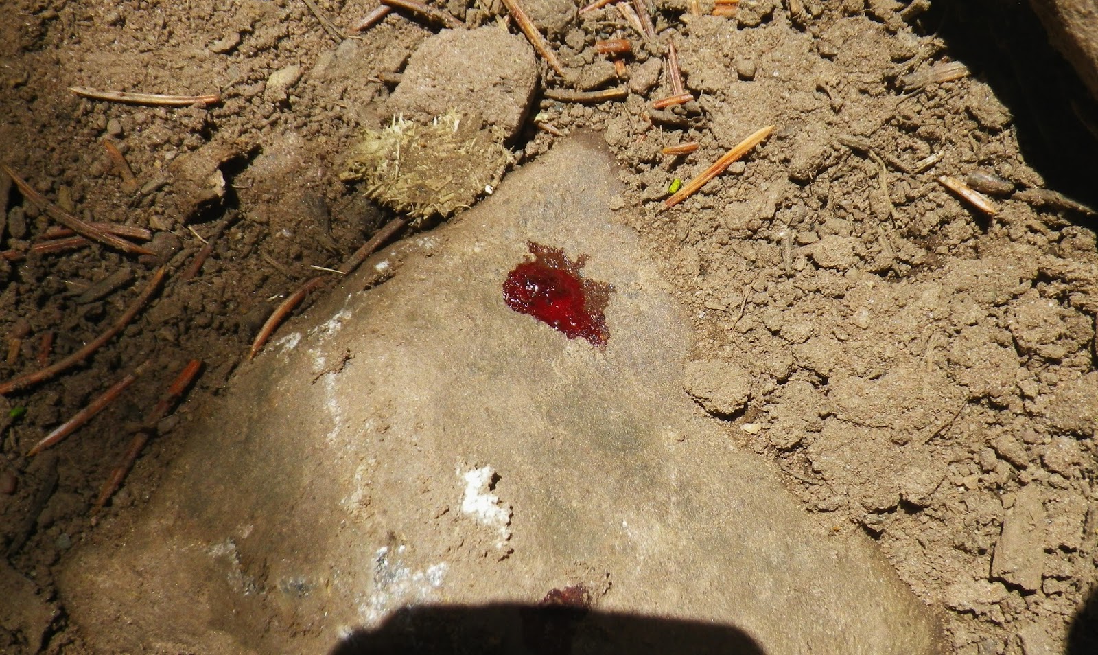
I saw at least three horse-shoes on the trail–two recent, likely that same day. Frequently I saw drops of blood on rocks from injured horses.

More than once I saw these very temporary efforts to protect horses hooves with duct tape, and I caught up with the previous horses as he had to frequently stop to re-do his job with tape, and then walk leading the horse.
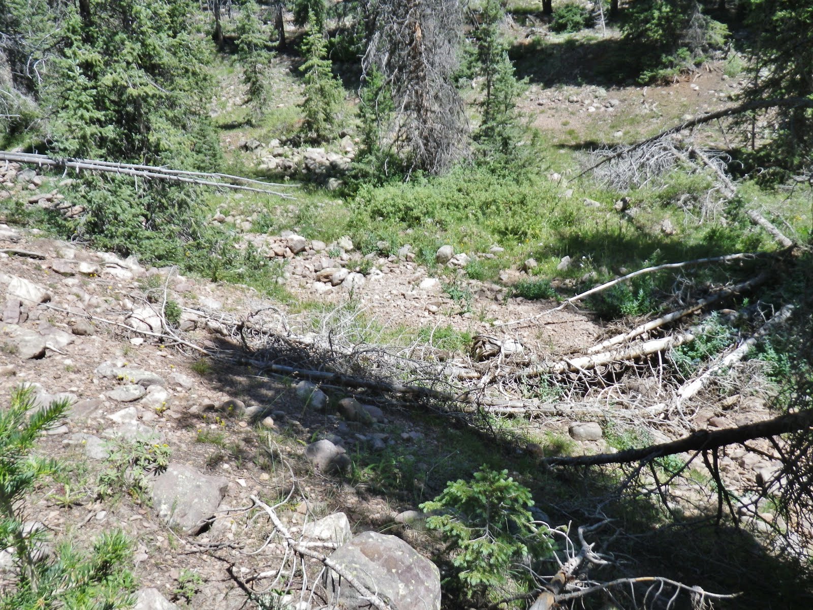
As the afternoon drug on I began getting very tired and it seemed like the trail would never end! Logic told me that I had easily hiked more than the 5 miles that should have got me to the crossing of Krebbs Creek and even 500 feet more in elevation gain up to the 1st Chain Lake.
I became convinced that taking into consideration all the switchbacks not on the map, I had likely done at least 7-8 miles–at least I had been hiking 8 hours and even at my “stalking pace” with rest stops have always averaged 1 mile an hour. Besides it was getting late and I had to get into my evening recovery routine. Luckily the weather was perfect.
Between the creek, the trail, and the steep mountain there was just no place I could find a good place to set up camp 200 feet from trail, and stream. I finally came to the trail crossing Brett told me had given them some trouble. I didn’t tackle it, as I had decided to not do the steep 1/2 mile up to the Chain Lakes. I moved upstream at least 300 feet from the trail crossing, but had no choice but to set up camp right along the creek. By then fatigue very literally had me feeling sick–like the flu was coming on. It was an emergency stop.
NOTE: Some of you might recall that last week there was a helicopter rescue east of Salt Lake. A young fellow overdid and couldn’t go on, saying he felt like he was getting “sick with the flu!”
That happens to many marathoner and triathalon competitors (etc.) when they are fatigued weakening their immune system. That is exactly what happens to me after a tough day.
5 gms. of Glutamine is one supplement that will help solve that problem as I have explained in other writings, along with 5 gms. of Calcium/Magnesium (Fizz) that studies have shown is what marathoners (and I believe, backpackers) lose most.

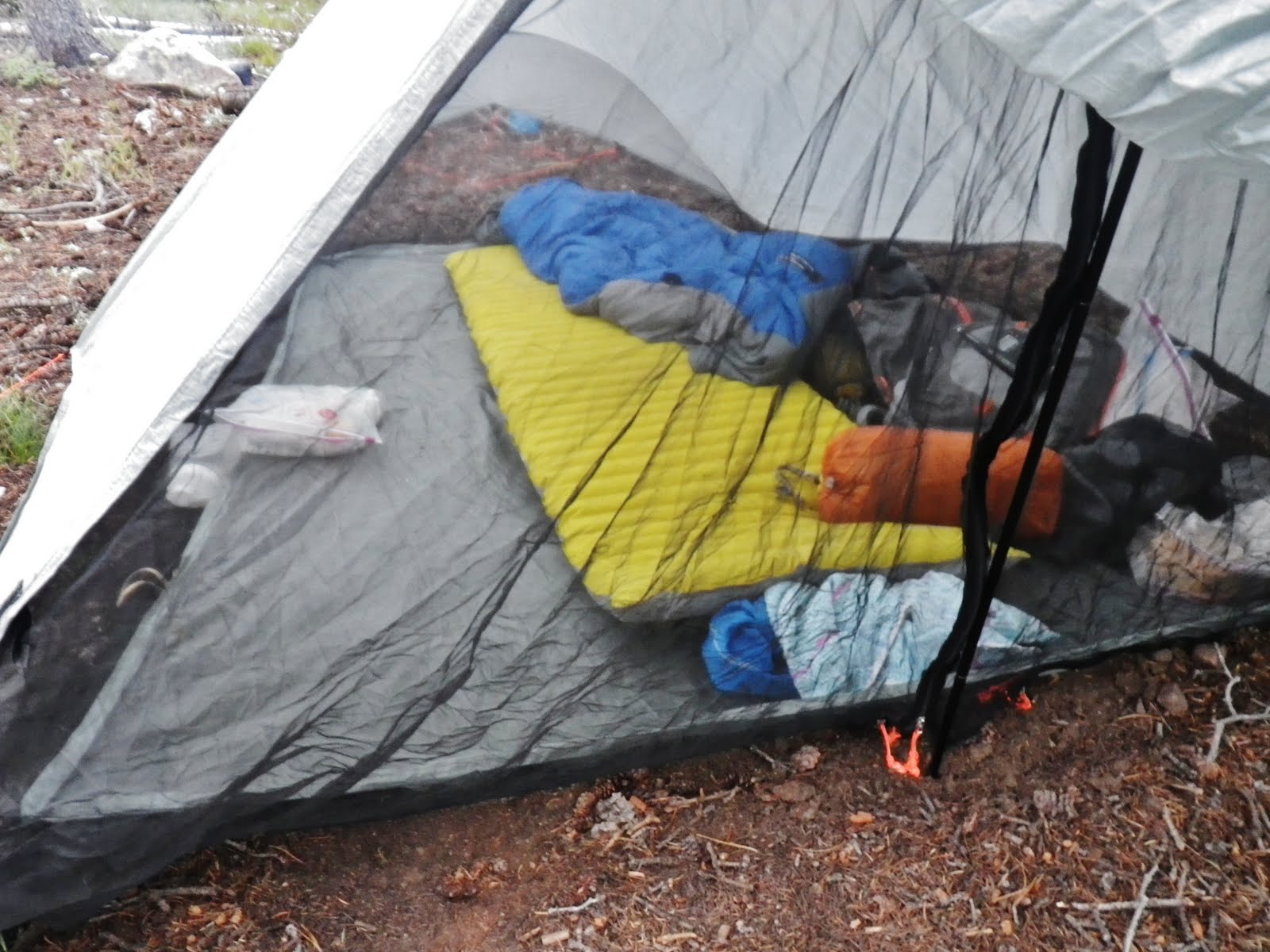
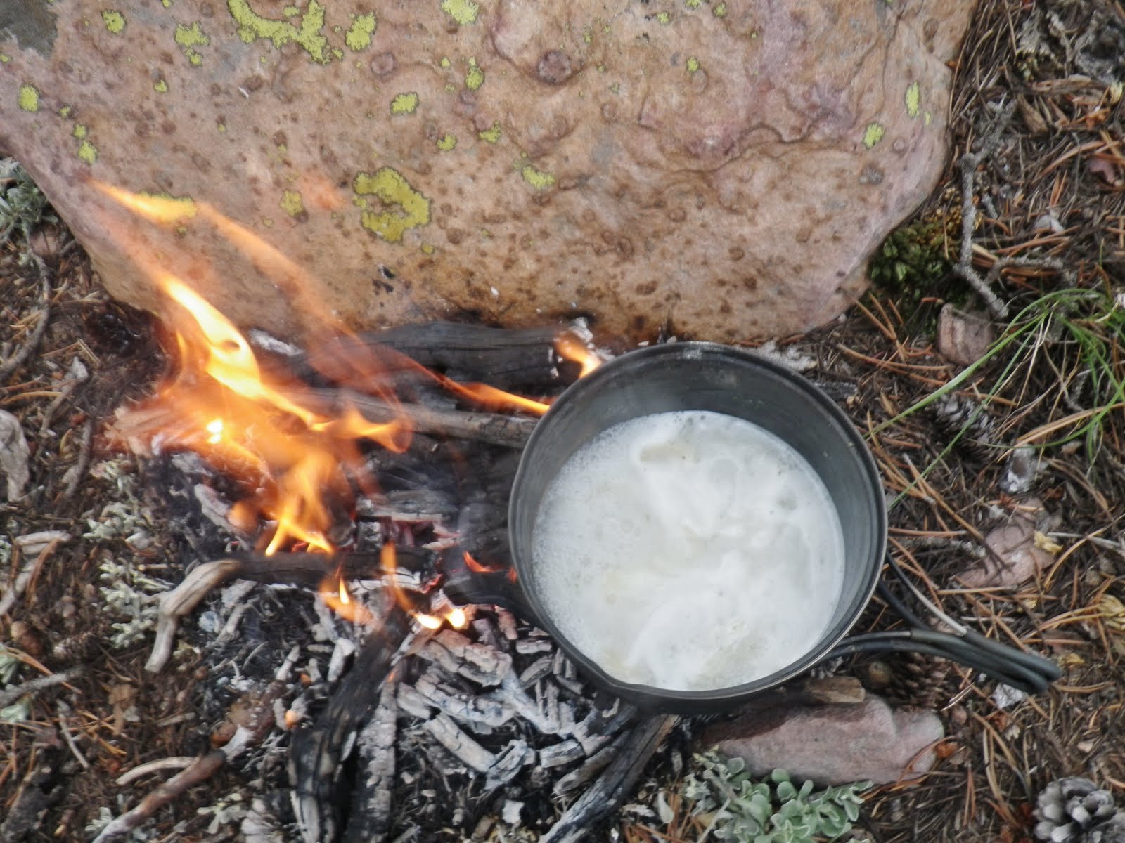
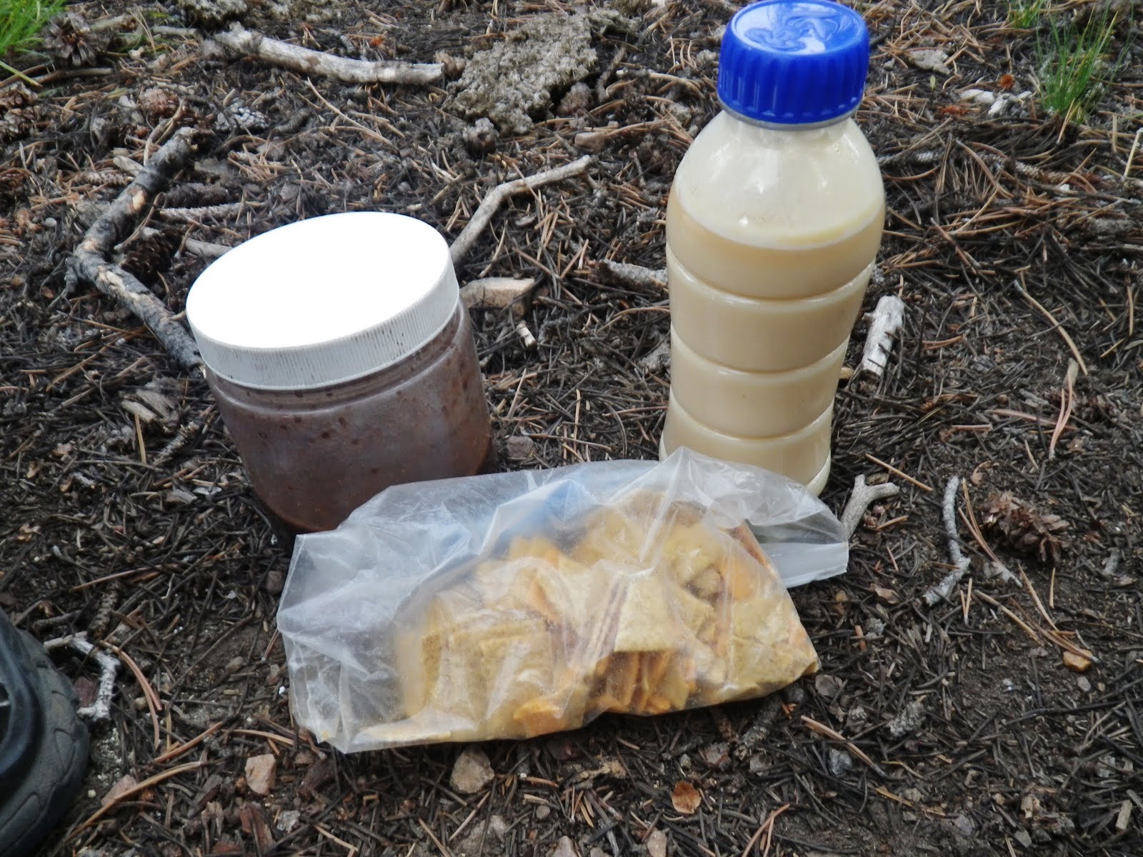
While my water was being purified (by gravity) I set up the tent, sorted through my stuff to get the emergency items I needed for recovery,
1st, putting my dinner to soak so it wouldn’t require much cooking, including an instant chocolate pudding+dydrated egg,
2nd my ENDUROX recovery drink, with 5 additional gms.of Glutamine,
3rd my Electrolyte drink, with 5 gms. of Calcium/Magnesium…..
4th another dose of Calcium/Magnesium for going to sleep
Last Eggnog, when not feeling well is always welcome.
NOTE: For item 2, I didn’t have my ENDUROX, rather another product that just didn’t do the job. I will go back to ENDUROX next time. On my “expedition” I took 5 lbs. of ENDUROX.
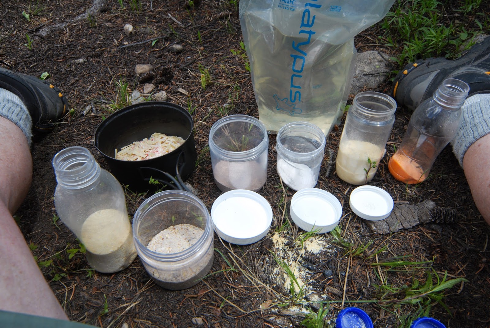
With enough purified water for evening and the next morning I added the right amount to each container and drank the 2nd and 3rd, along with 6 Wellness Formula capsules, and 1 Defense Plus tablet–both taken when one feels “out of balance,” to be repeated the next morning. Both of them have become part of my “recovery program.” Those are links to acquire said products.
NOTE: To understand all of this you should check out the “survival” portion of my Backpack #1-2015 GRANDADDY LOOP photo/essay, as well as reading my paper on THE ANTI-AGING CHALLENGE, links on my Home Page.

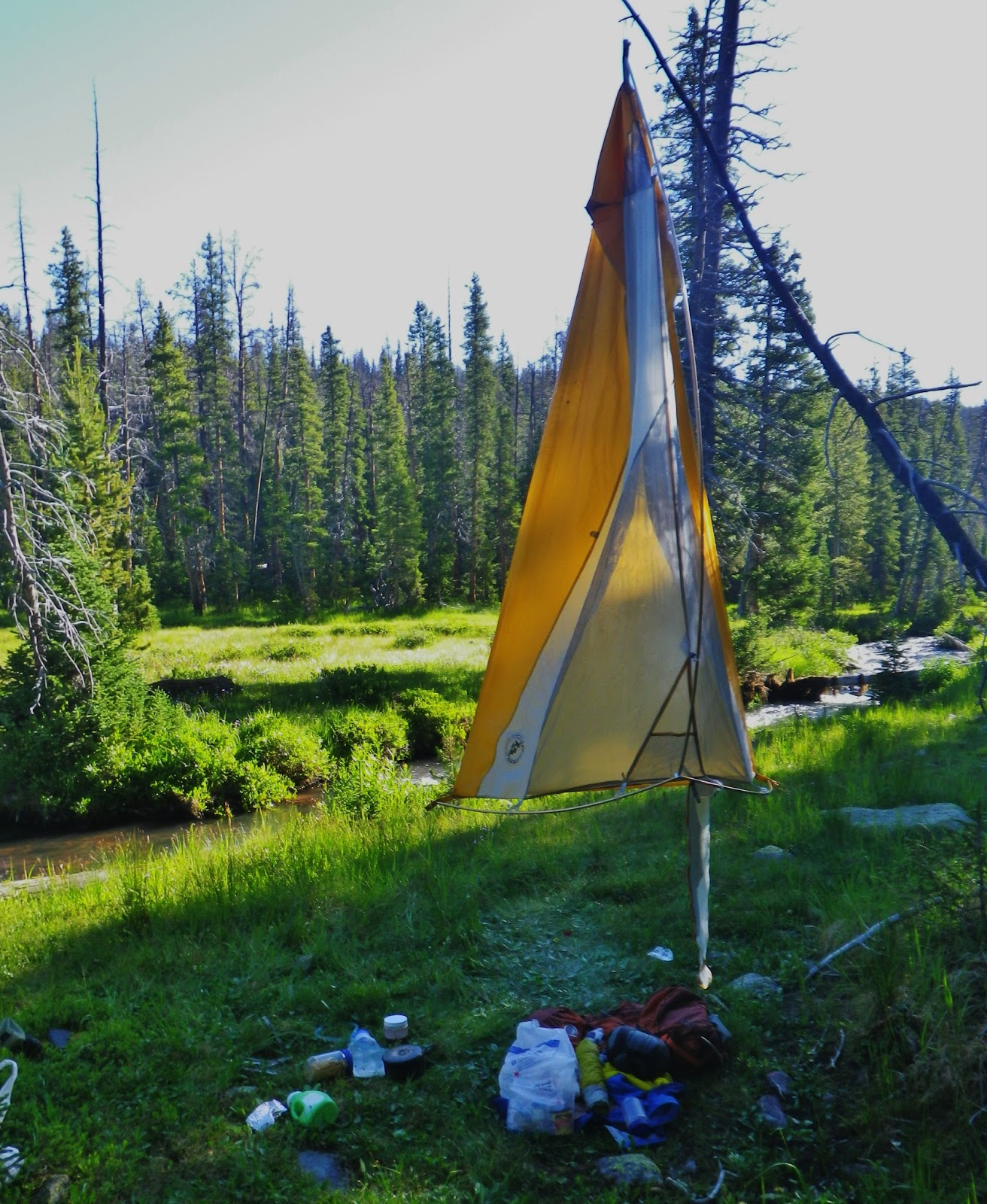
I cooked my dinner, but wasn’t hungry enough to eat it yet. I violated a rule by taking the dinner into my tent, along with those things I would take on trying to sleep. I hung the rest of food items in a tree and got away from the mosquitoes by getting in my tent and did what I had wanted to do for quite a while–LAY DOWN TO REST.
I got my maps out and began analyzing my situation and coming to certain conclusions:
1. My hope from the first day of being able to “Pick up my pace, lengthen my stride, and stretch out the distances,” wasn’t working and would get even more difficult on the 3rd and 4th days as I would be increasing altitude another 1,000 ft. on each of those days, plus tackling even harder climbs like Robert’s Pass, and then Trail Rider Pass.
2. To be realistic at my age I had to be able to every other day have a rest/recovery day and acclimatizing to higher altitudes, adding on at least 3 days to my effort that would stretch it out to 10-11 days, rather than 8. I didn’t have enough stuff to stretch it out that much.
3. As I was contemplating how it could be done, I had to consider that by stretching it out, and climbing several thousand more feet in altitude to stubbornly persist, I was getting farther from civilization, and it could get much more dicey! Especially considering that in recent years increased altitude has given me growing problems–and maybe was more responsible for much of what I was experiencing than imagined. Even a couple of years ago the greatest backpacker I have ever known personally, Charlie Petersen, who had never had a hint of problem almost died of high altitude sickness in the Garfield Basin.
4. While thinking about all these things I laid down on my hard pillow (quilt stuff sack filled with extra clothing), I began sensing through my ear how my heart was functioning. It was fast, even though I had been resting for some time, but SHOCKINGLY, for the FIRST TIME IN 5-6 YEARS, IT’S BEAT WAS ERRATIC AND IRREGULAR!
In an effort to eliminate 1 more pound of weight, I hadn’t brought with this time my blood pressure cuff you see below, but insert the picture to represent what I could hear and sense laying on my ear.

5. With that potential problem, that could become lethal, coupled with all the other negatives, I decided I couldn’t risk going deeper into the Wilderness and possibly creating huge problems for me and my loved ones.
6. I decided to rather focus on getting well applying my MARGO LAKE FORMULA that night and the next morning and then be able to “PICK UP MY BED AND HIKE DOWN THE TRAIL!”


IF IT REALLY BECAME AN EMERGENCY I COULDN’T SOLVE ……….I WAS PREPARED!
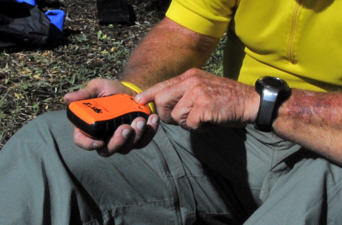
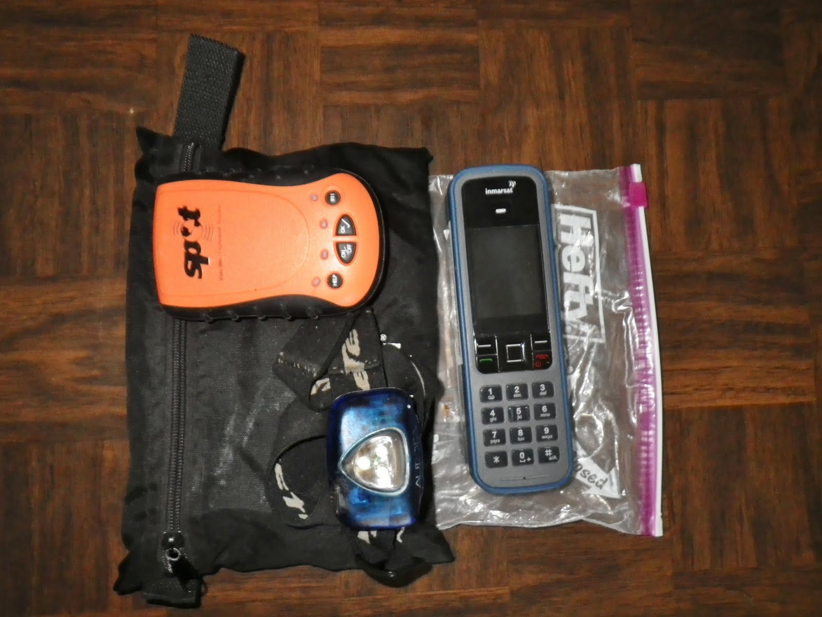
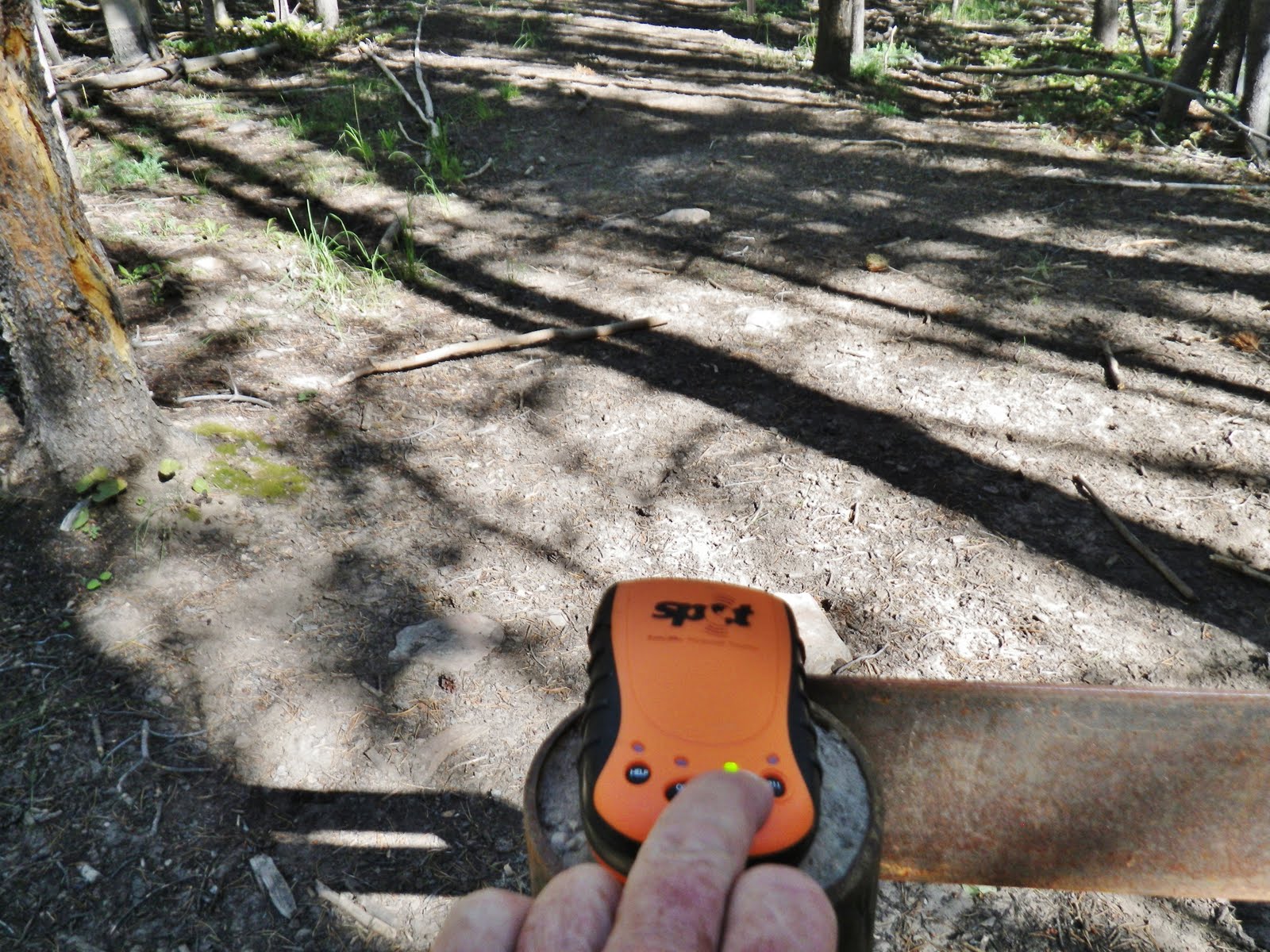
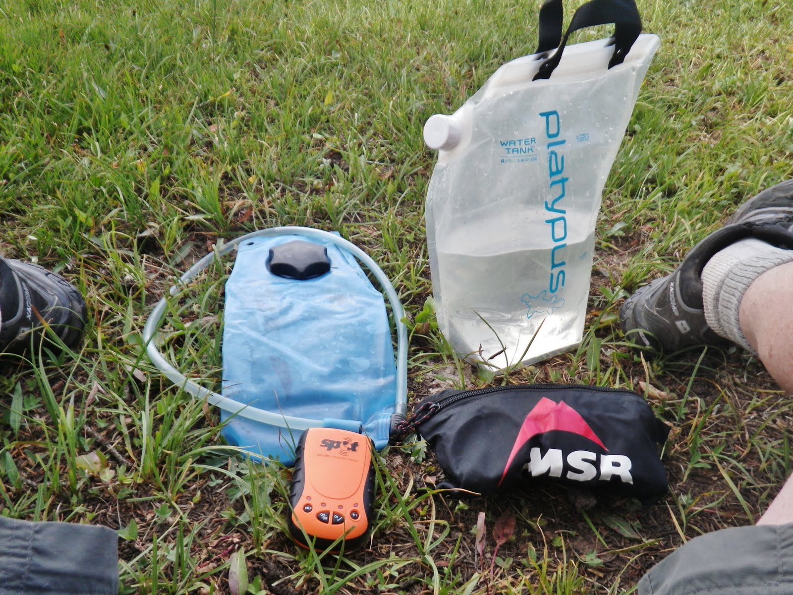
I was using my SPOT Personal Satellite Tracker every day so my select group of 10, plus anybody else interested could could get the link from my website and see exactly where I was every day.
They were getting everyday my “OK” signal, message, and
location on Google Earth, and
I always had it handy in case of a dire emergency so I could hit the “911” button to trigger Search and Rescue to come after me.
NOTE: Eric Robinson, the 65 year old Australian, who alone was doing the Highline Trail a few years ago, disappeared and has still never been found. He had a personal satellite tracker too, but NEVER USED IT!

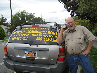
I also had a SATELLITE PHONE to use reporting in to KSL Outdoors Radio every Saturday morning, and for use in case of an emergency….be it my emergency, or an emergency I have to be advised of by the family.
NO ONE SHOULD GO ALONE INTO THE WILDERNESS WITHOUT THESE TWO ITEMS.
In my opinion:
EVERY GROUP (SCOUTS, EXPLORERS, A FAMILY, Etc.) SHOULD HAVE EACH OF THESE IN THE GROUP.
EVERY GROUP (SCOUTS, EXPLORERS, A FAMILY, Etc.) SHOULD HAVE EACH OF THESE IN THE GROUP.

Both can be rented from Russ Smith at
So, that is what I did–“Pack up my stuff and get ready to hike down the trail”…..but before finishing the story, let’s …….
GO UP THE TRAIL USING PHOTOGRAPHS FROM THE LAST 60 YEARS

I did the Chain lakes you see above the first time in September 1954 with Ted and Charlie–of course coming down.
Can’t remember which one, but walking a crossed what looked like a sandy beach on the inlet side it moved up and down like we were walking on a bowl of jello. All of a sudden Ted started sinking in and we got pretty worried….until……
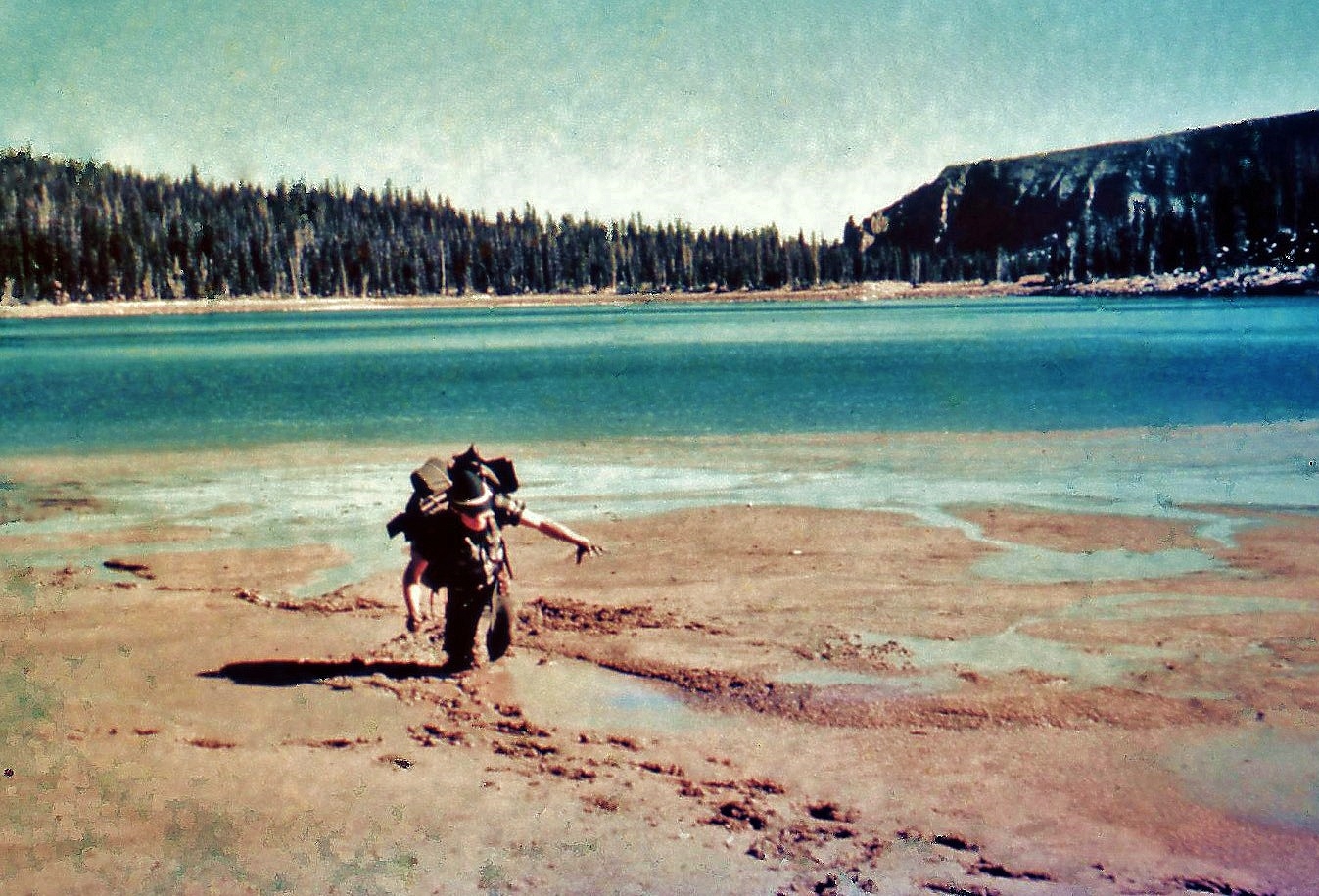
…….we noticed he had stopped sinking so we stopped our rescue effort….and rather started taking pictures, including Charlie’s movie in which you can see Ted upset and throwing mud at us. He finally sort of crawled out…..and so is still with us and is….
“the 2nd gteatest backpacker I have ever known!”
“the 2nd gteatest backpacker I have ever known!”
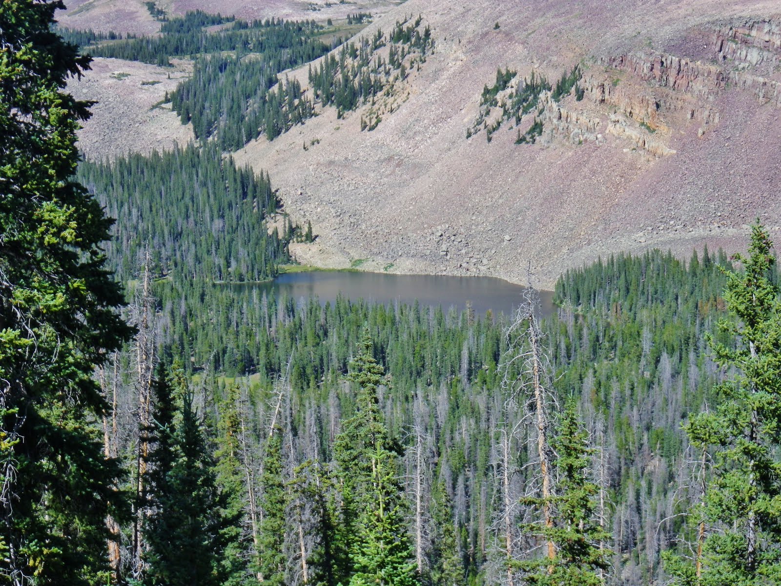
Here we see the chain lakes as I was coming down the trail on my 2003 “expedition.”
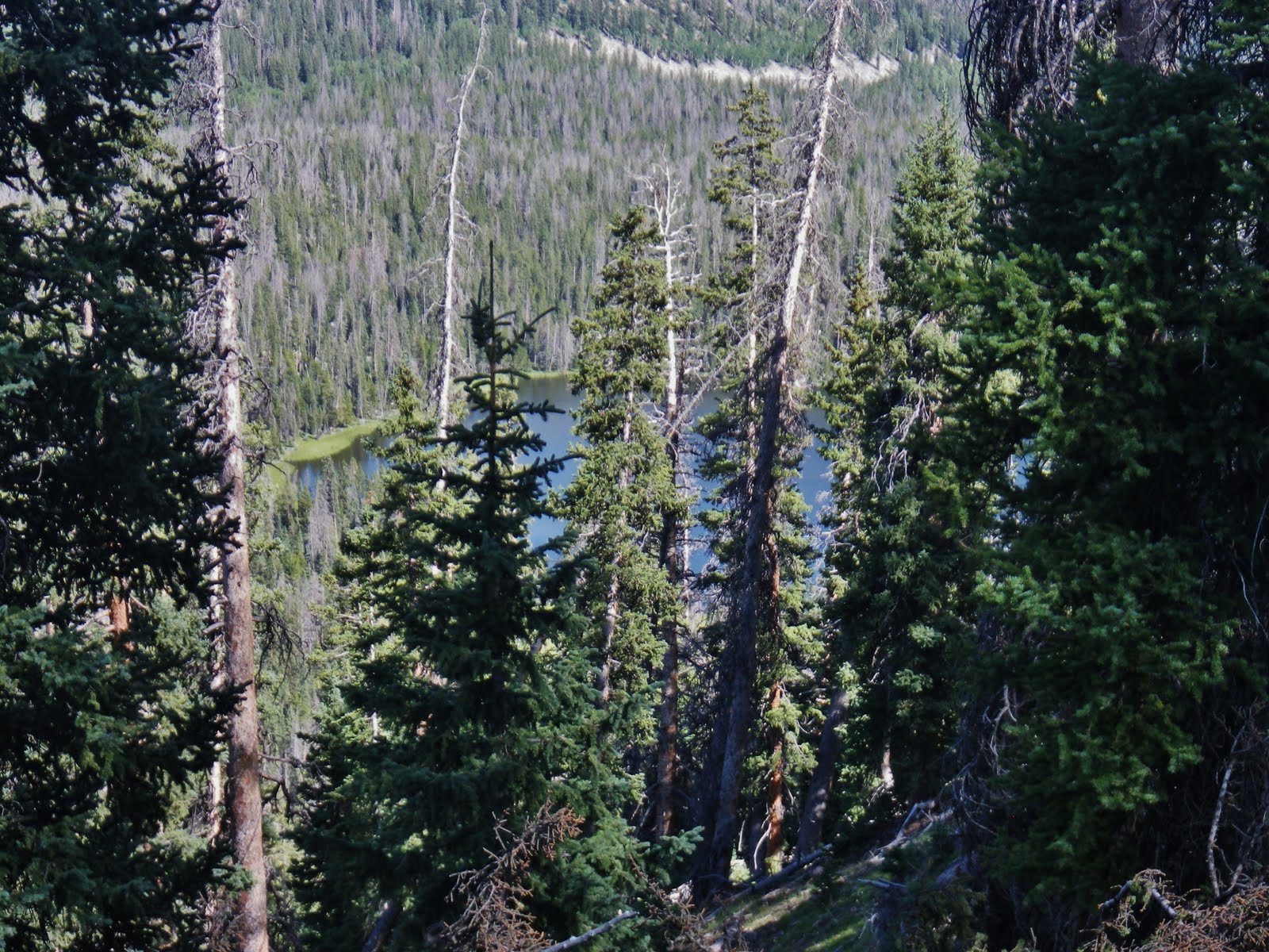
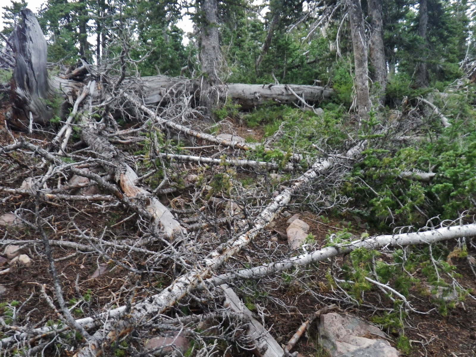
I came down this trail again in 2005 when early that year I was the first one up the Uinta River Trail continuing north from the bridge and went through an area that had been hit by a micro-burst wind storm that mowed down the lodgepole pines about 6 feet off the ground and made that hike through downed timber to North Park one of the hardest of my life…..in fact so hard I didn’t want to go back the same way, rather circled around through the Painter Basin, caught a 21 inch long brookie out of U-75 lake, you’ll see in a moment, then up over Trail Rider Pass and down this trail to civilization.
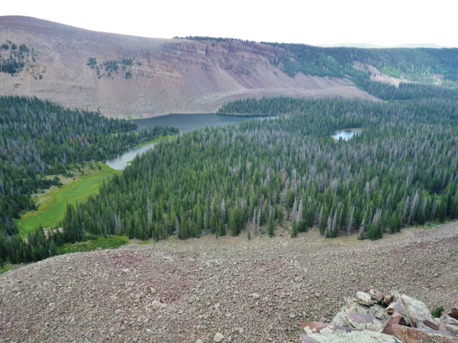
From the Chain Lakes we climb into this map in the lower right corner by sweating our way up and over very tough Robert’s Pass.

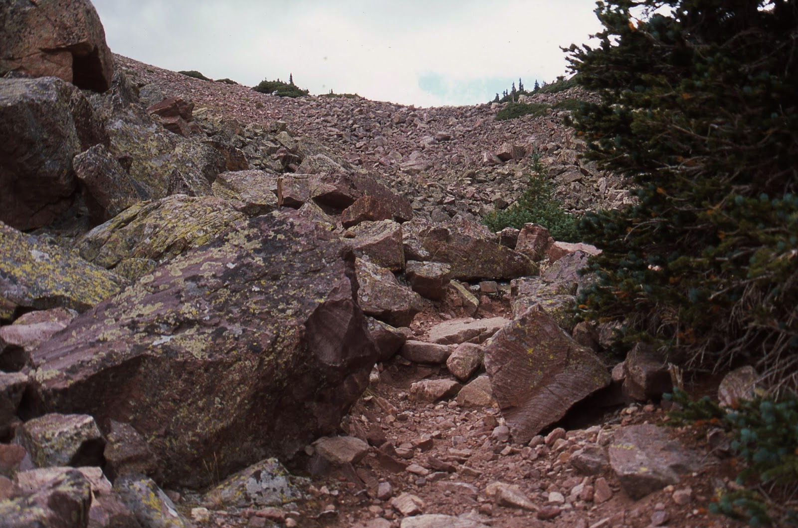
Above we see Robert’s Pass on the Chain Lakes side. It is made up of boulders that has always had me marvel at a horse or mule being able to navigate it.
The pass is only 11,120 ft. high, so it isn’t for me the toughest for it’s elevation, rather because of it’s steep roughness and unforgiving boulders–which, as all of creation, has a beauty all of its own.
In fact this is one pass where on my four trips I have always seen blood spots on the rocks from horses and mules.

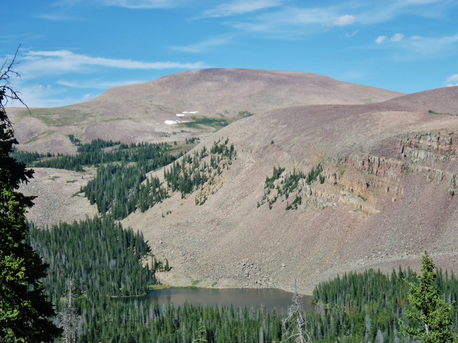
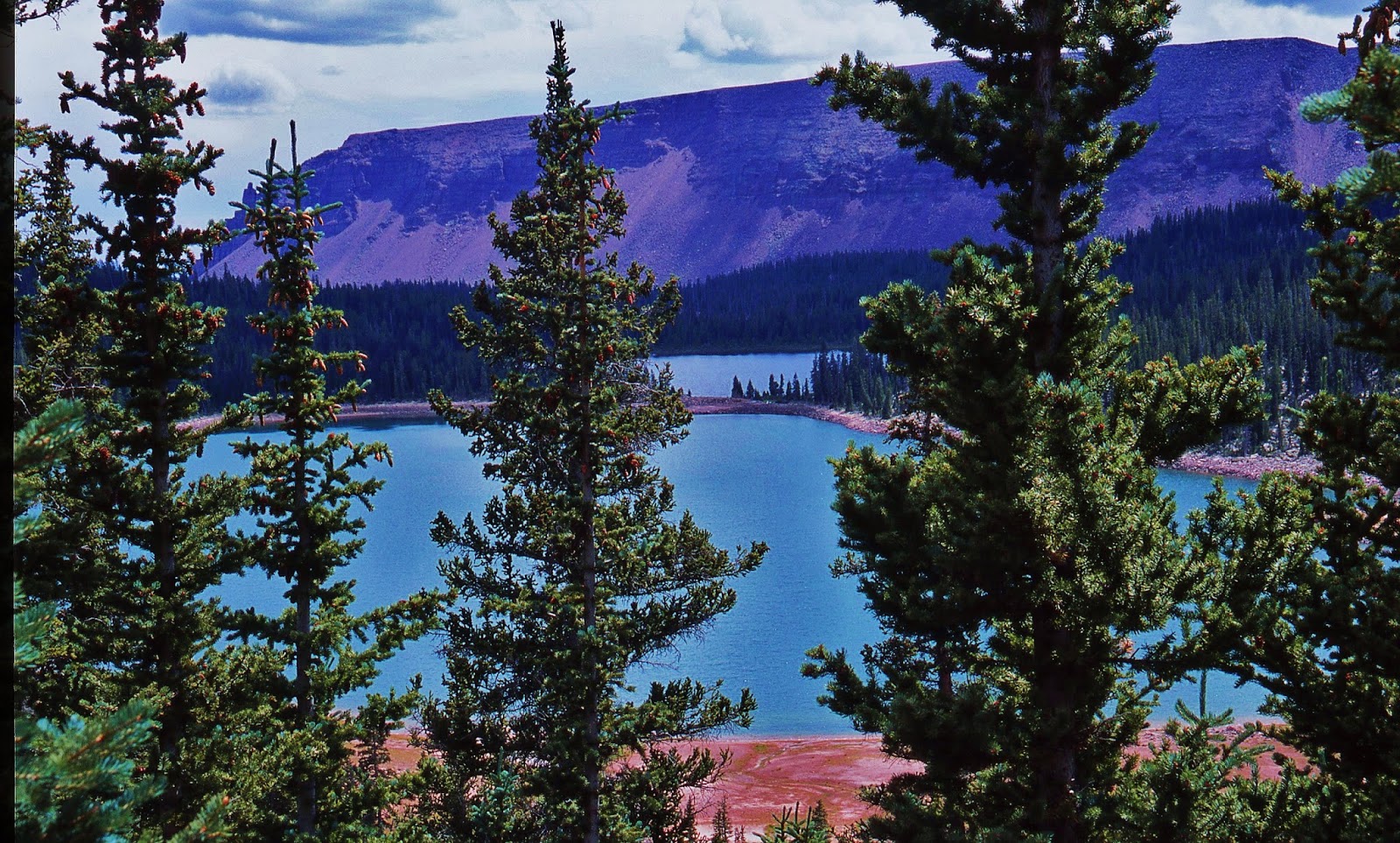
That leads us to the Atwood Basin and Lake Atwood we see below. This was another of the High Uinta Lakes on the South Slope where a bulldozer was somehow moved into the area many years ago to increase its capacity by building a dam, with head-gate drainage system. That is what is being rebuilt right now in 2015.

Lake Atwood, along with Mt. Emmons Lake (on some maps called Allen Lake) had Golden trout in the past and in 2012-2014 have had more Golden trout planted in each lake.
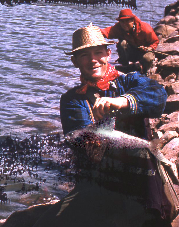
As you can see below, Lake Atwood also has Arctic Grayling, and back in 1962 when Ted and me took a large group of Explorer Scouts through the area, we lucked into a bunch of huge grayling that we began catching on spinning lures, as you can see in the following photograph of Ted with what would be a record grayling….if a qualified scale had been available.
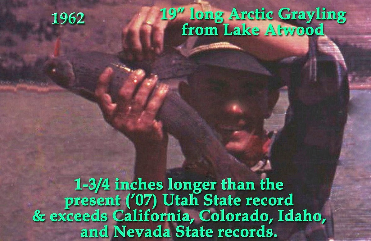
The film, with which the above, and one below of me with a similar grayling was taken, was ruined when the camera fell into one of the Chain Lakes. What you see here is what we salvaged, with the one of Ted enhanced some by SNELSON Photo Studio in Springville, Utah.
Including this trip with the Explorers, I have come down this trail now 4 times, but never came up until this attempt in 2015.
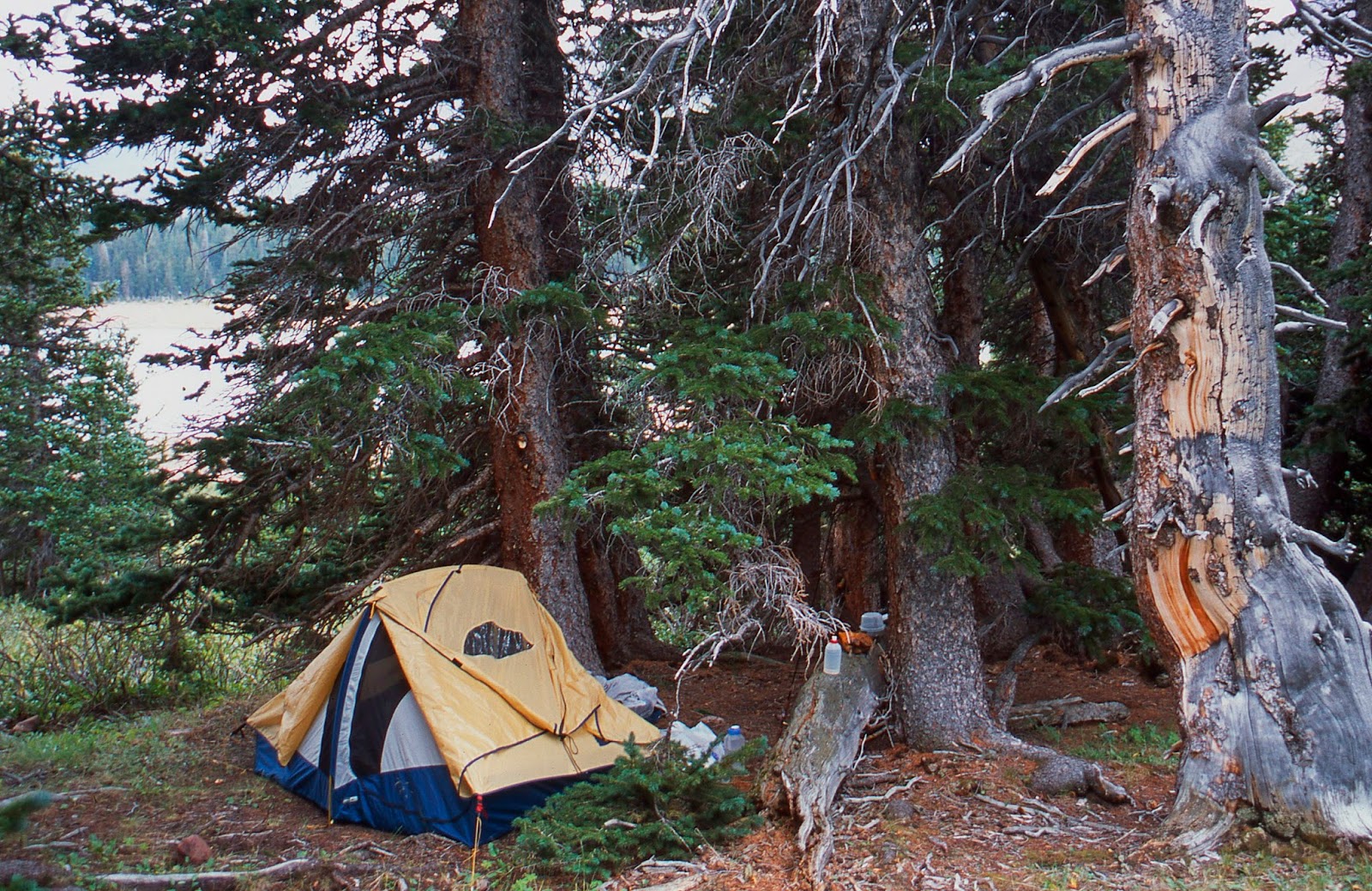
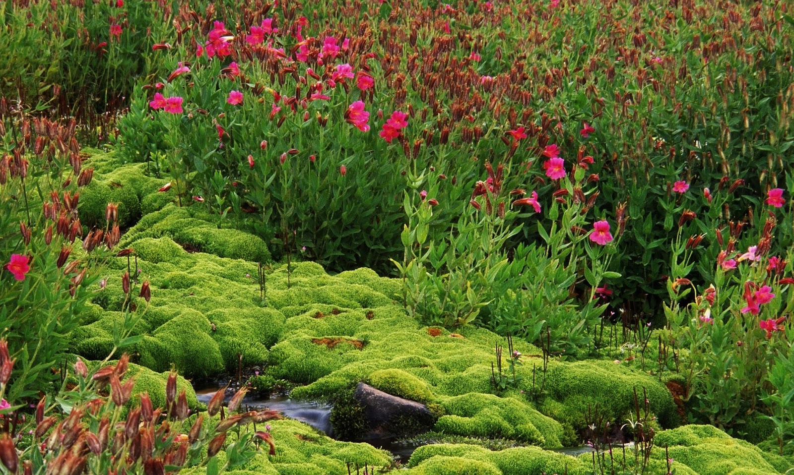
This was my camp on the 2003 “Expedition,” near the western, or upper end of Lake Atwood where I got the picture you see below of the “Moss Garden with Monkey Flowers,” which I have treasured as the most beautiful picture from that epic adventure.
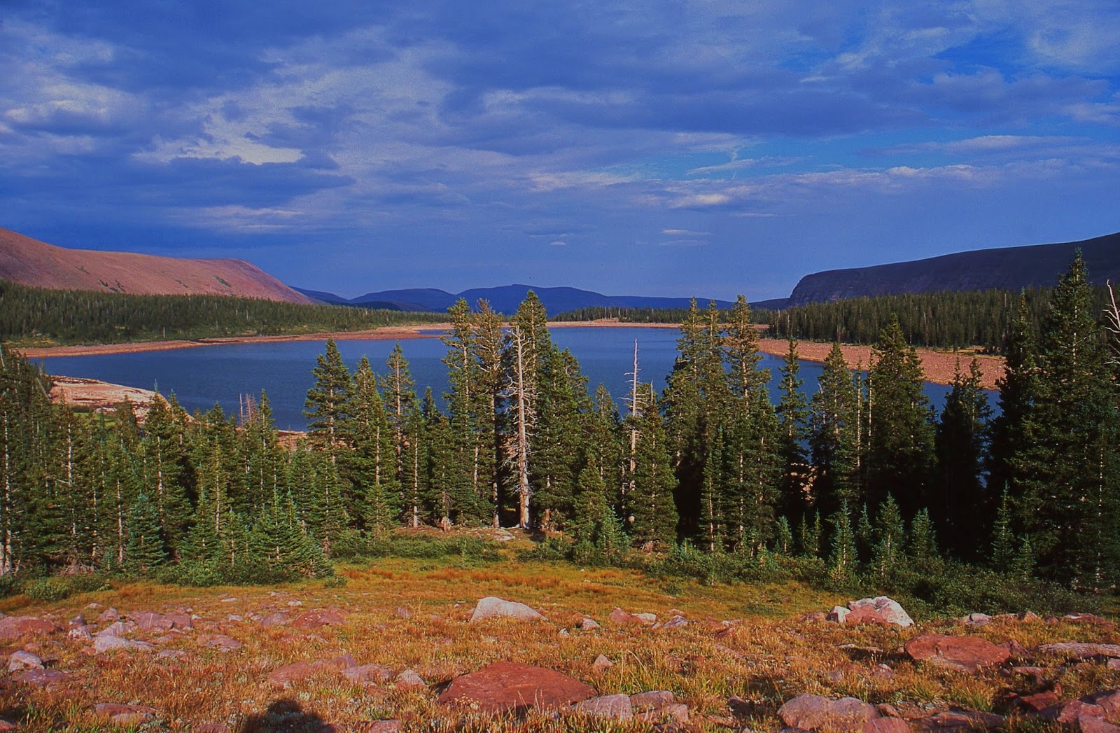
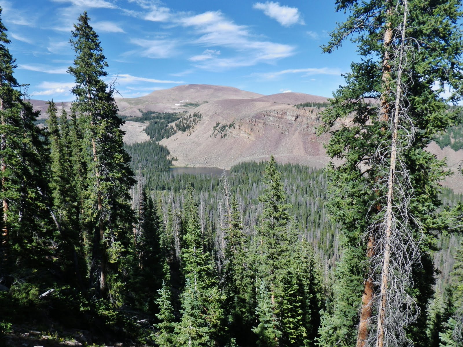
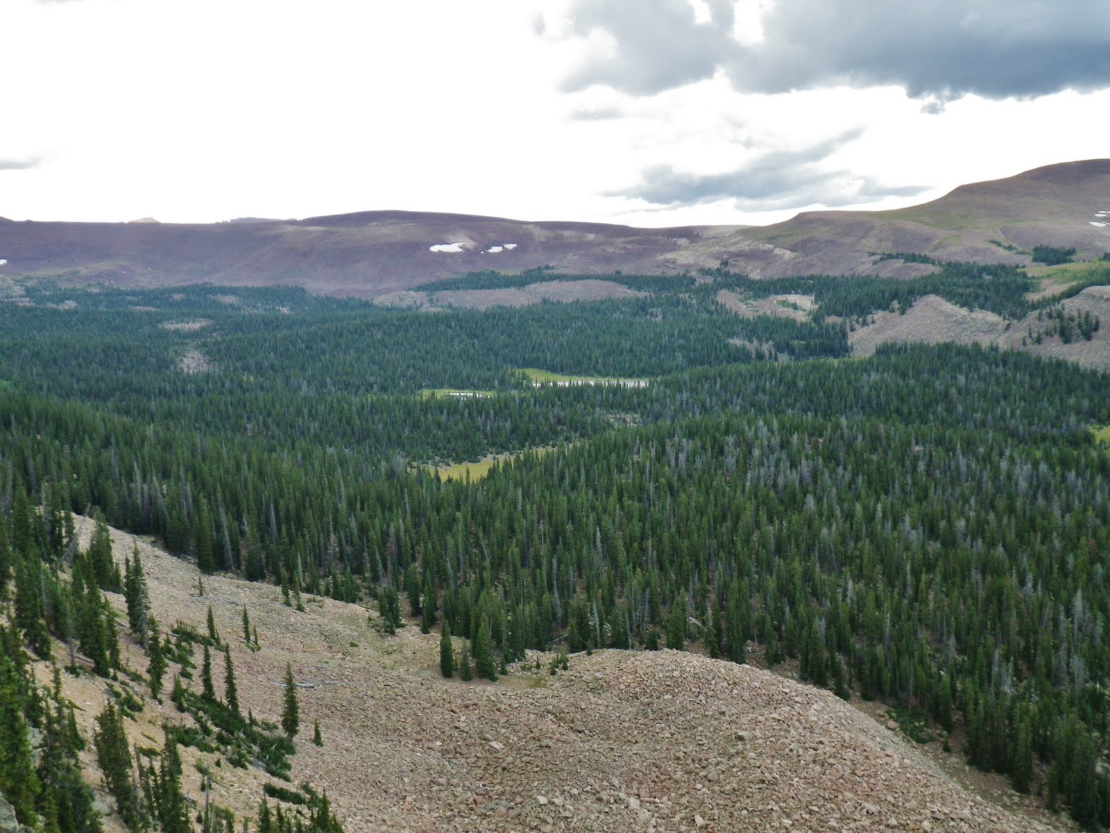
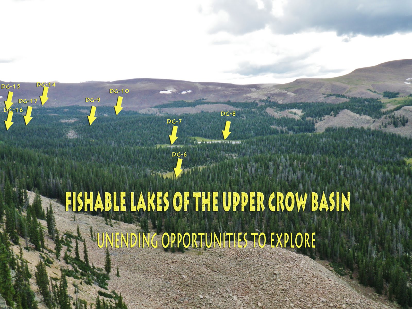
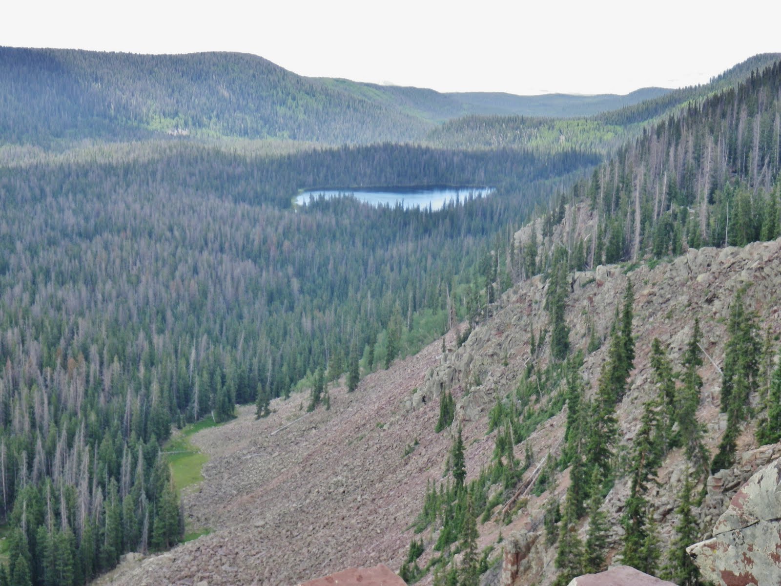
We are now climbing up from Lake Atwood towards the George Beard Basin, and Trail Rider Pass. You can see the shoreline that shows a fluctuation in the lake’s level as more water is taken from the lake in late summer. As you see it is one of the larger High Uinta lakes found right at 11,000 feet with the timber soon disappearing as you climb up the mountain.
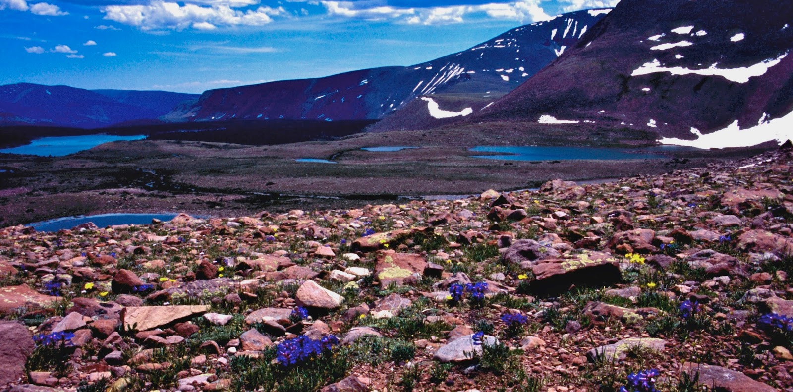
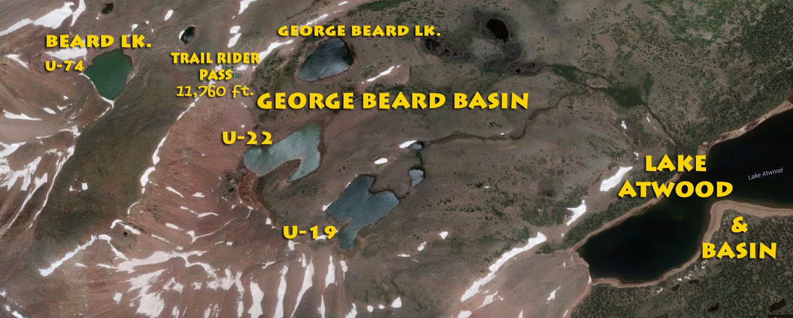
We are now seeing the Atwood Basin, way down on the left, and the George Beard Basin stretching across the middle of the photograph, with some labels on the picture below.
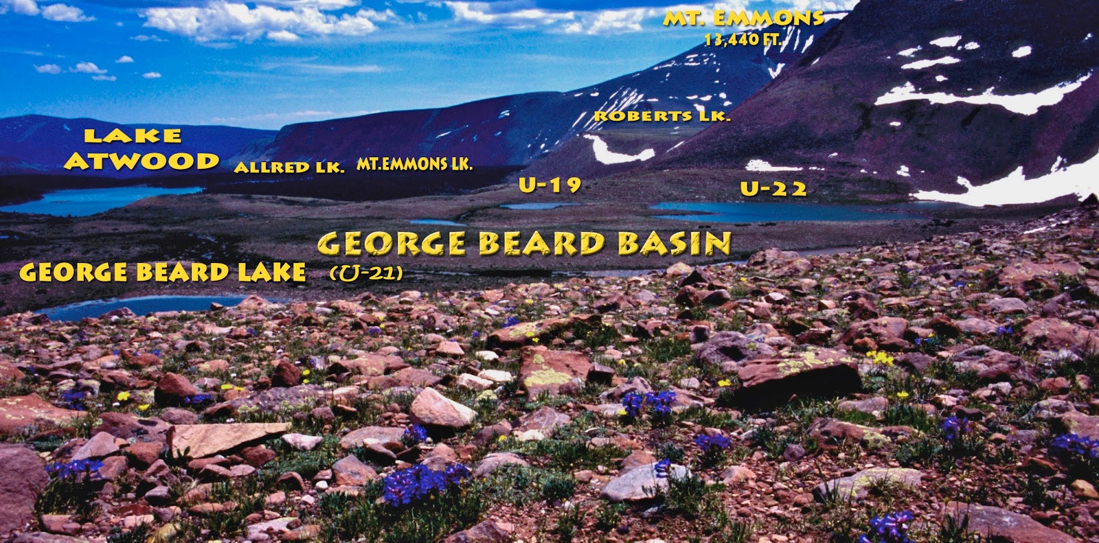
The George Beard Lake, and Basin (I have named) honoring the pioneer artist/photographer from Coalville, Utah who, along with his wife, Sarah Lovenia, I introduced to all in my documentaries on THE GRANDADDDIES, he having named the Uinta’s largest lake, Grandaddy Lake, as well as Mt. Lovenia after his beloved wife who accompanied him many times on horseback trips into the Uintas. His collection can be seen at the Harold B. Lee Library at Brigham Young University.

Above you see me with a sassy wild eastern brook trout caught out of George Beard Lake. It was at this lake I had the fastest fishing of my expedition, catching and releasing 15 brookies on 20 casts, in about 30 minutes or less. If I stayed for a while, it could have been hundreds caught and released, but on my trips I have to quickly test each lake and then move on.
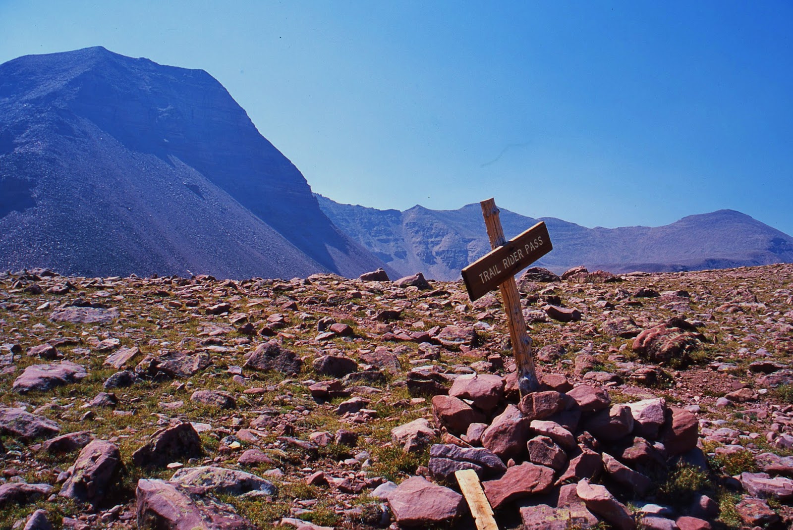
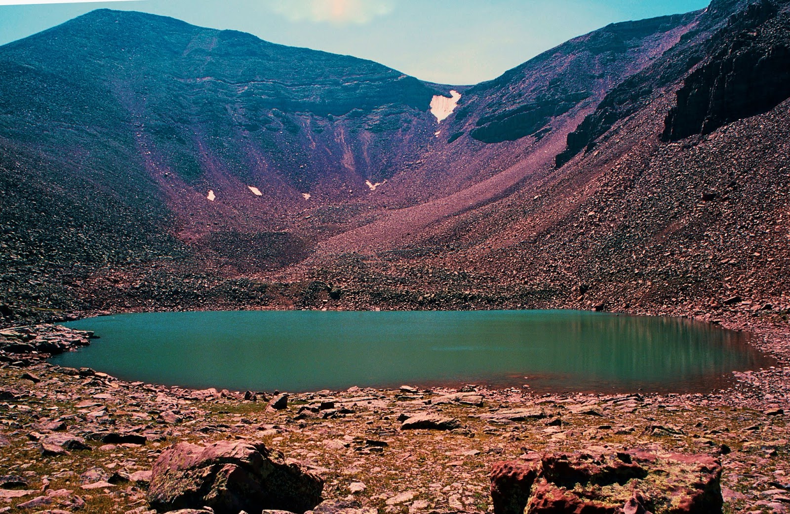
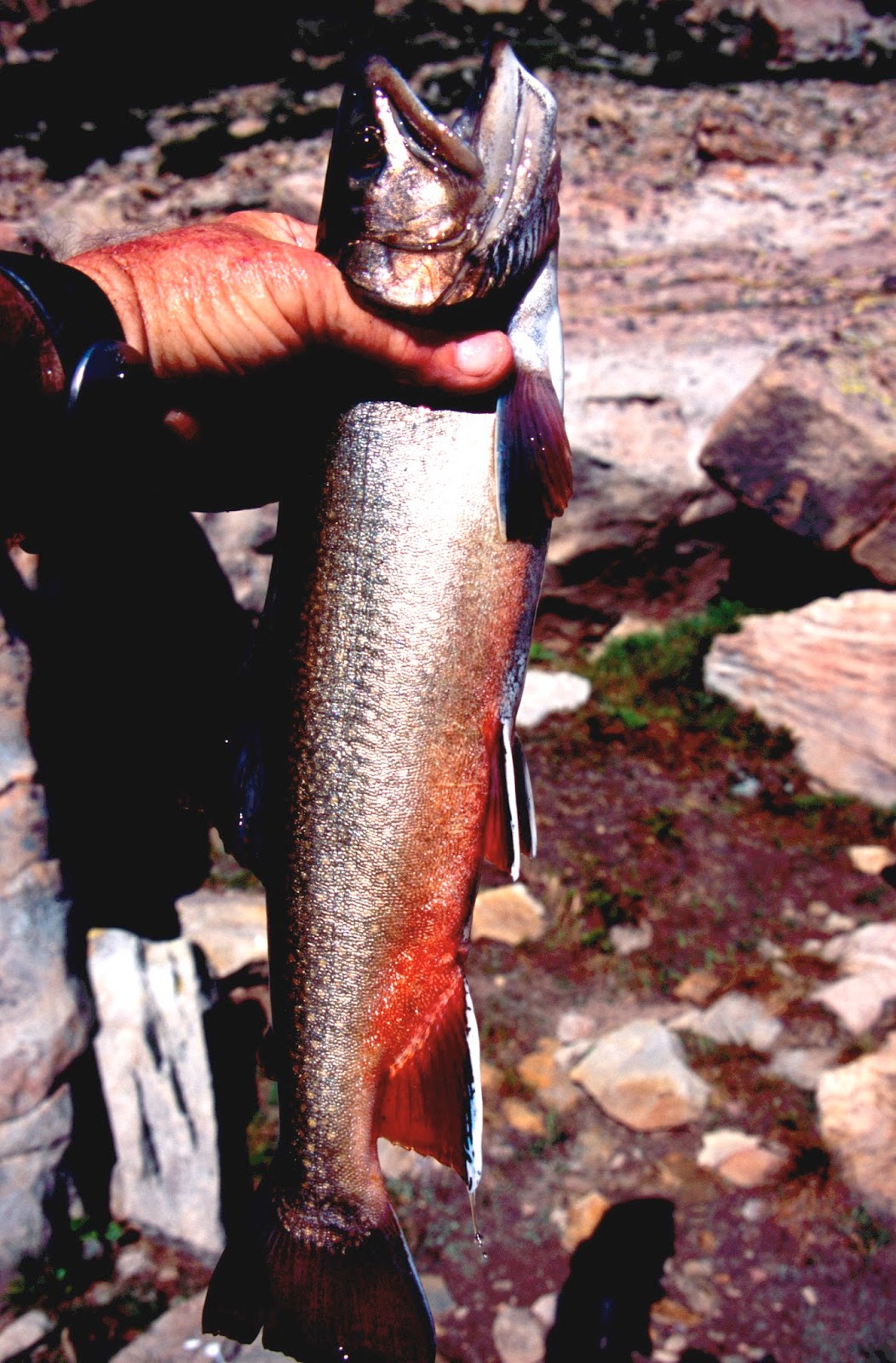
We have now climbed 11,760 ft. high Trail Rider Pass. Just a short distance down on the northwestern side of the pass, we find Beard Lake you see below.
Not very attractive you could say, with it’s rocky shoreline totally devoid of plant life as we are way above timber line, but on my expedition the fishing proved to be epic when a huge brook trout grabbed my lure and the fight was on. Eventually he (or she) tired and I snapped the photograph below to make sure I got something. I didn’t want to injure him intending to turn him loose after a photo shoot.
So I let him swim around while I was getting my tripod out to set up my camera for some shots of me quickly hoisting him out of the water……but then he was GONE!
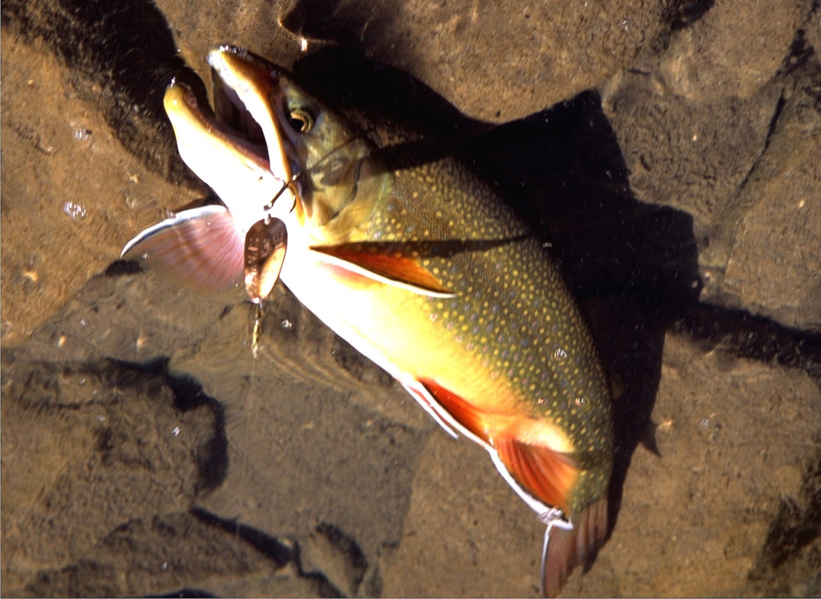
I of course have speculated that he had to be easily more than 24 inches long…perhaps as long as 30″…so let’s say 28 inches long and easily a Utah State record and winner of the FIELD & STREAM fishing contest that year–beating out Ontario, Canada that usually wins for brook trout. The Utah State record brook trout weighed 7 lbs. 8 oz. caught in 1971 in the Boulder Mts.

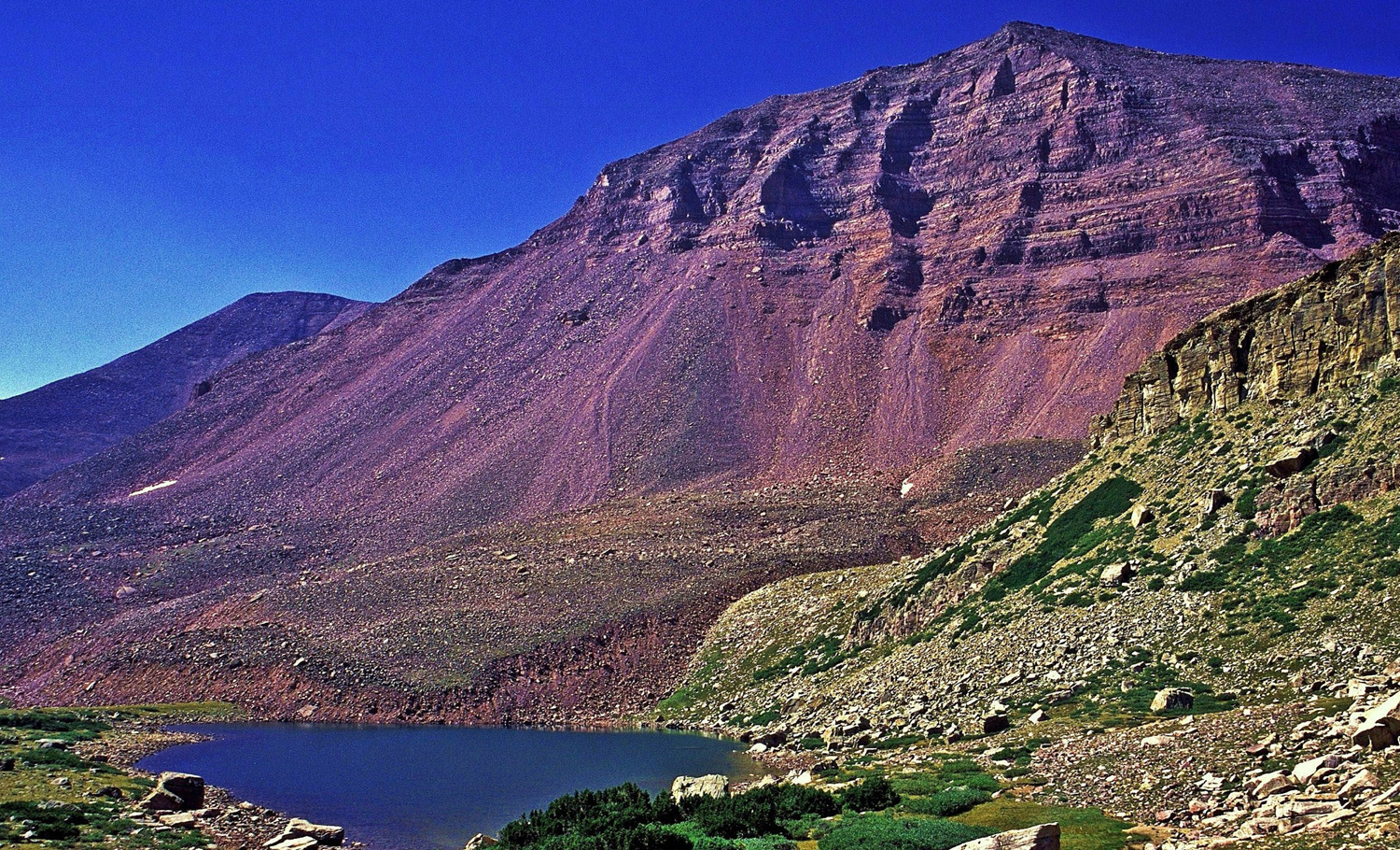
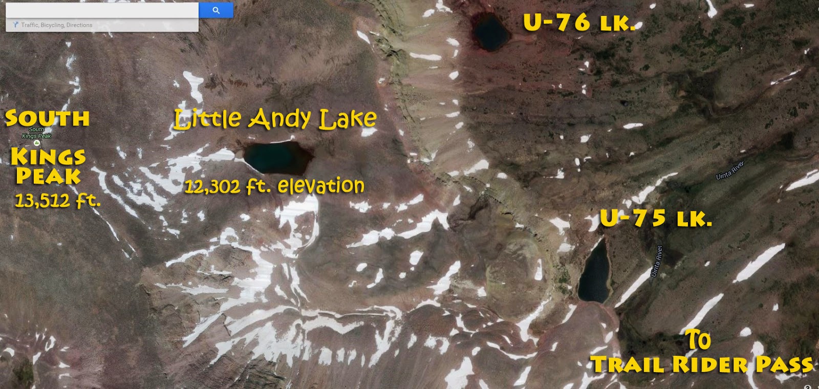
Now we are looking north from Trail Rider Pass. My hike was to take me down to camp on U-75 lake where there a few stunted alpine firs, above which is “Little Andy Lake.” We are also seeing here in this windswept region a fairly rare flower,
OLD MAN OF THE MOUNTAIN,
we’ll get a closer look at below as it is being punished by a strong wind.
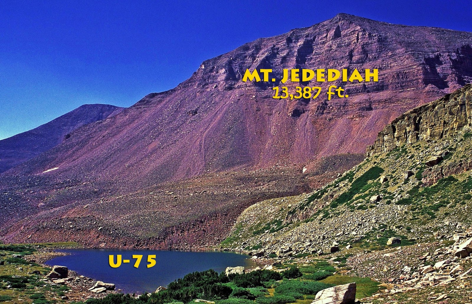
At U-75 we have a fine view of Utah’s 5th highest peak, 13,387 ft. It was a no-name mountain, so I have named it in honor of he who for me was the greatest of the explorers and mountain men of the West, Jedediah Smith. He only lived until 28 when killed by Indians but he lived life to its fullest as one of the greatest for a lot of reasons I’ll write about in what I will soon begin putting together, but he was unique: Always carrying the BIBLE and reading some each day, no swearing, no smoking or drinking, and no “consorting with loose women!”
The Smith Fork (of the Green River) on the Unta’s North Slope is named after Jedediah, who along with his team trapped beaver in that area and was part of the first mountain man rendezvous held on the Uinta’s Henry’s Fork River in 1825.
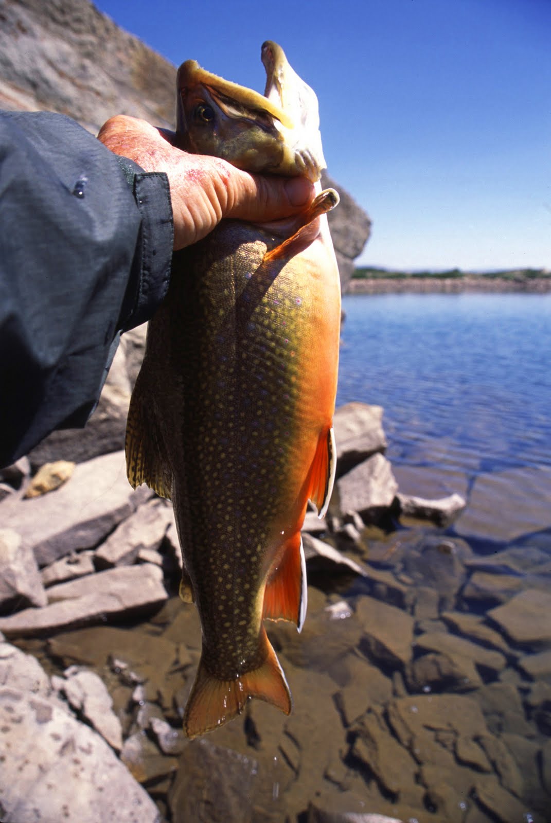
From U-75 on my expedition I landed this very heavy bodied 17″ brookie after a furious fight as he rocketed up from his hiding place among big boulders just as I was about to lift my Thomas Cyclone out of the water, and hit it big mouthed black-bass style and about jerked my rod and me into the lake.
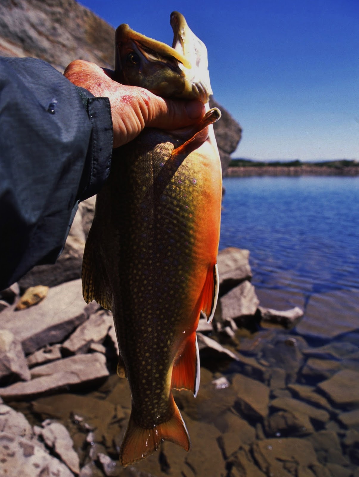
Two years later in 2005 after my micro-burst wind storm struggle, I camped here and fished again catching another brookie.
This one 21″ long you see above, but old, masticated, worn out and ready for the grave, so a new cycle of great brook trout could begin in this tiny little lake.

My plan was to camp on this lake, and the next day make a day hike up to “Little Andy Lake,” get some photos and then begin a little campaign to see if I could twist the DWR arm to air-drop a few Golden trout into the lake…….SOMEHOW IT STILL HAS TO BE DONE!
It looks about as big as U-75 with a most of it fairly deep…..so maybe there’s a chance!
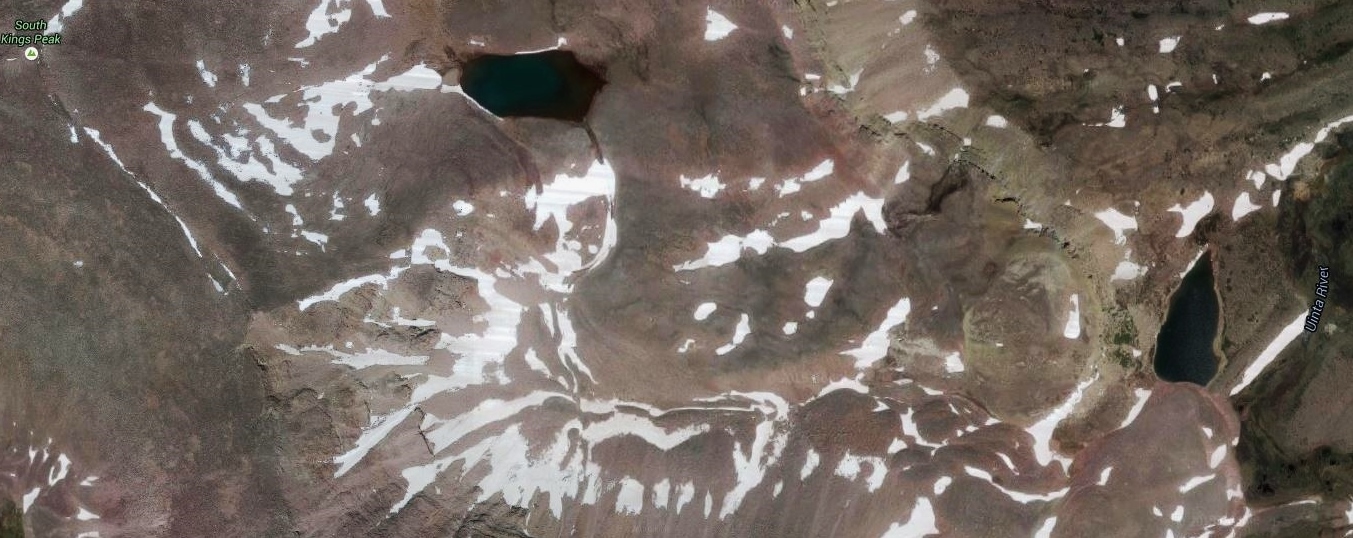
It is about 500 feet higher than U-75 and I don’t know of any lakes that high with fish in the Uintas….but we’ll see.
For a few parting grandiose views we’re now on the very top of Utah’s World–on 13,528 ft. high KINGS PEAK, with a great, but cloudy view to the southeast. Little Andy Lake is not in sight, it being sort of over the edge to my right.
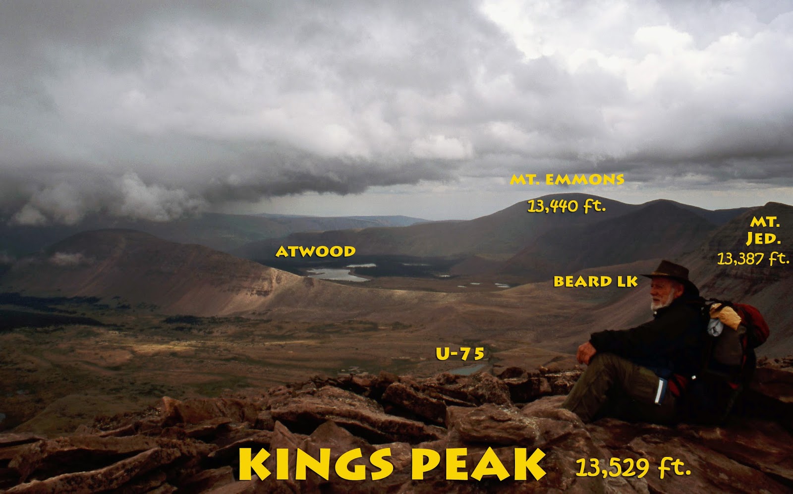
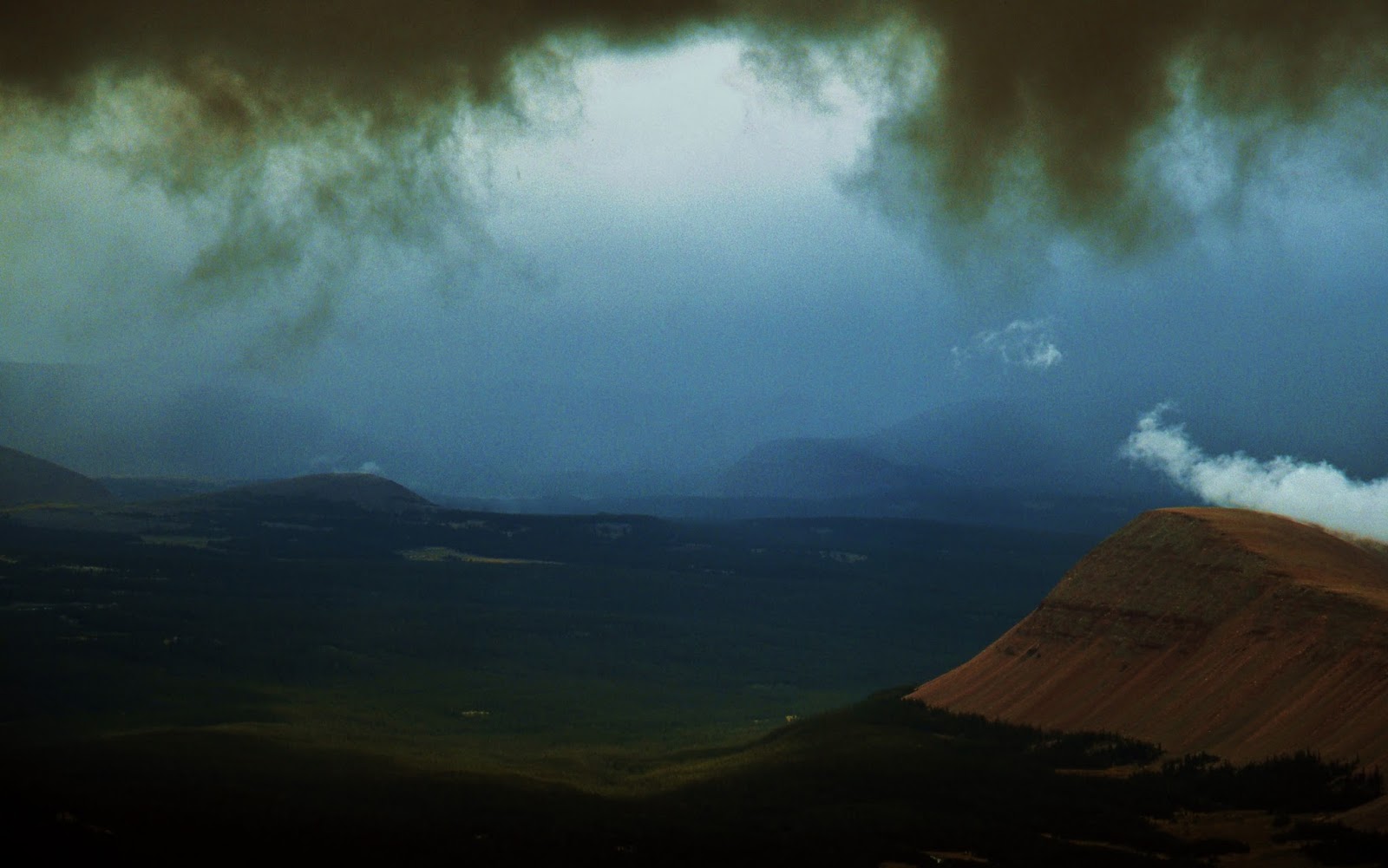
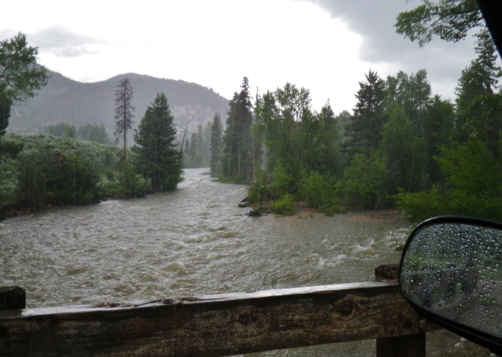
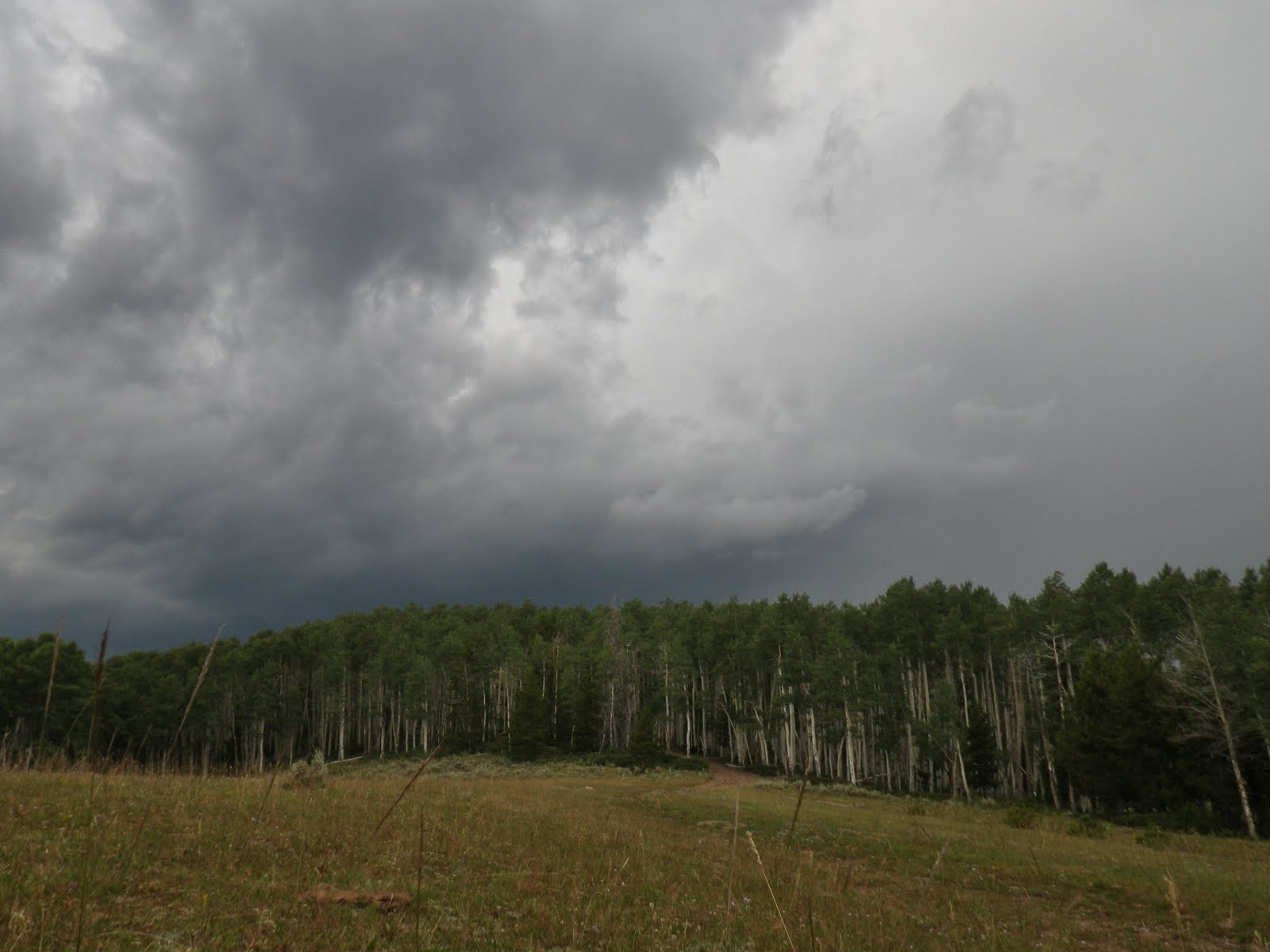
Now we are looking east across the Upper Uinta River Drainage with a storm already swirling around us! I decided I’d better get out of there….QUICK!

So, back to the camp at Krebbs Creek, the tent having dried and is ready to be packed up along with my
“bed that I have to pick up and throw on my back and with it hike out of there.”
“bed that I have to pick up and throw on my back and with it hike out of there.”
I’ve asked the Lord for help, and asked Him to help me remember the stuff that will help me overcome the “flu-like symptons,” and fuel me with the energy and strength to get down the trail….hopefully do the whole 10-12 miles to the Trailhead.
So down we go…..of course at a pace that beats easily my usual “stalking” speed, but still slow enough to notice and enjoy the VISIONS OF NATURE along the way.


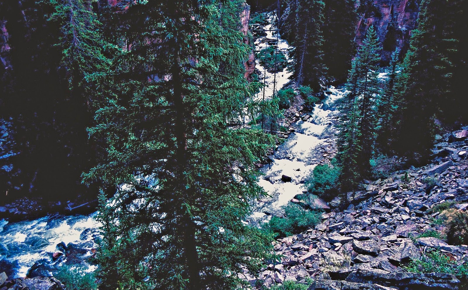
We get a quick last glance down at Krebbs Creek as it takes off on its own course farther and farther away from the trail and human eyes….where there is mile after mile of native and brook trout that have never seen a lure, or an artificial fly!
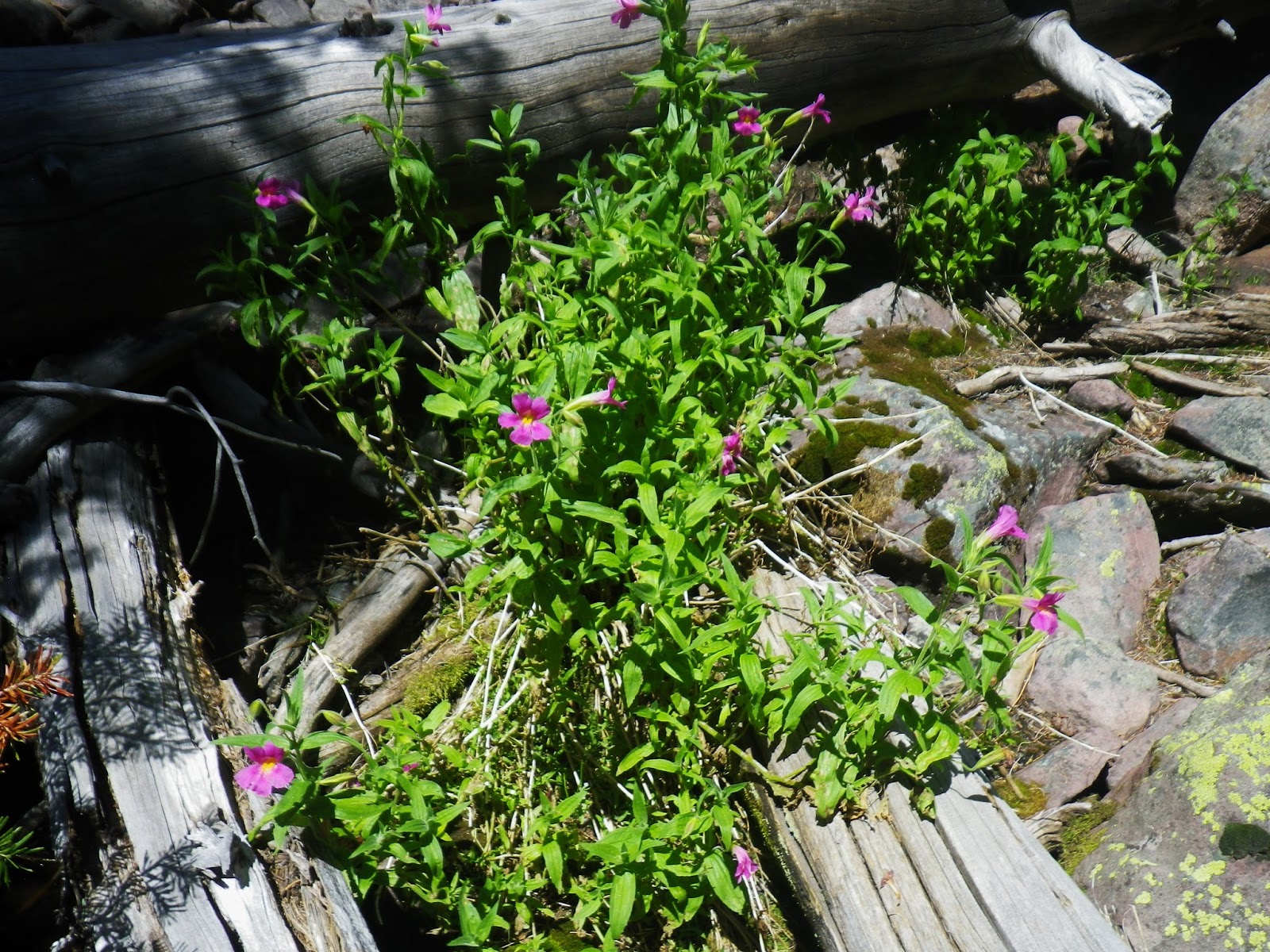
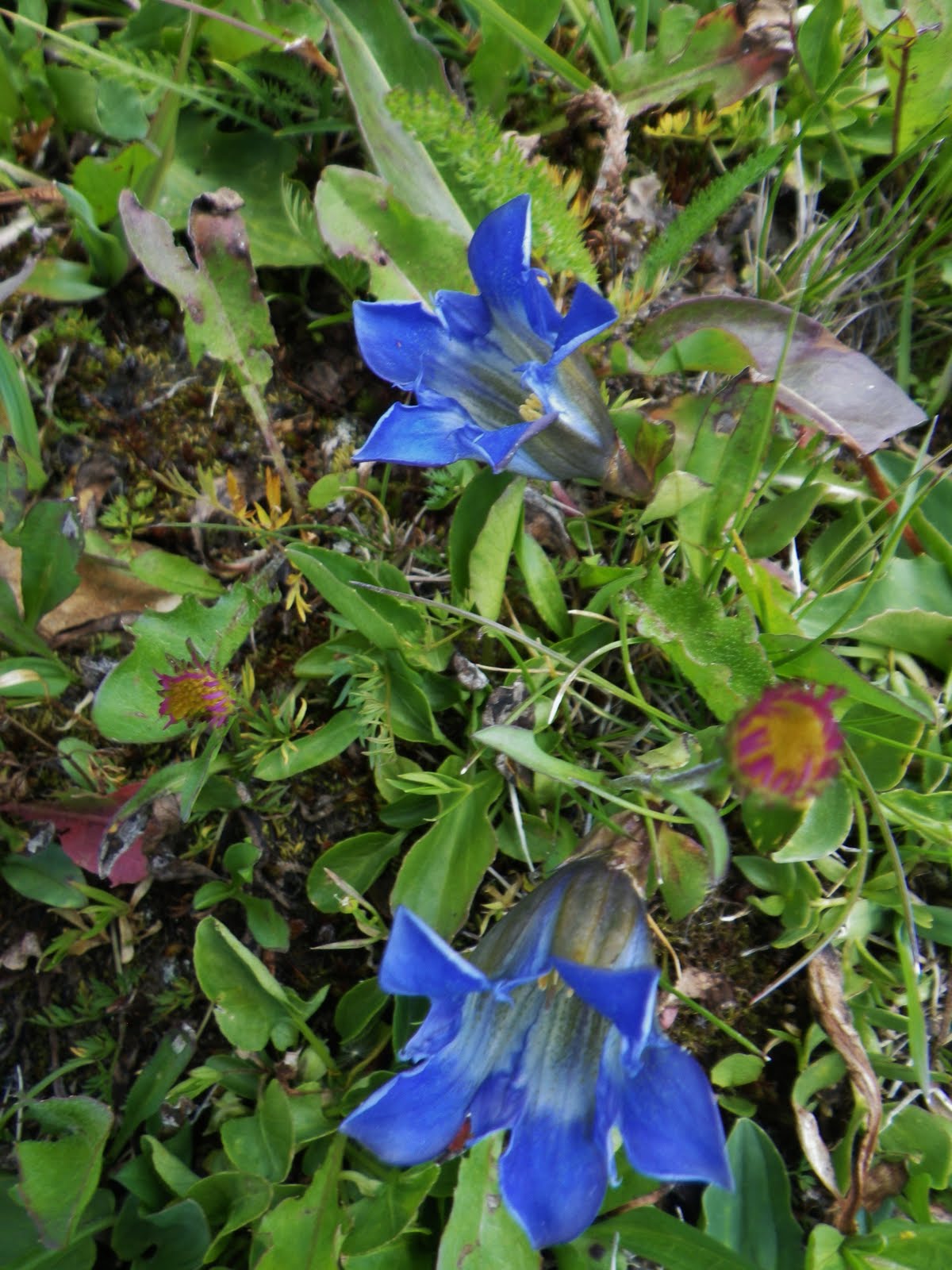
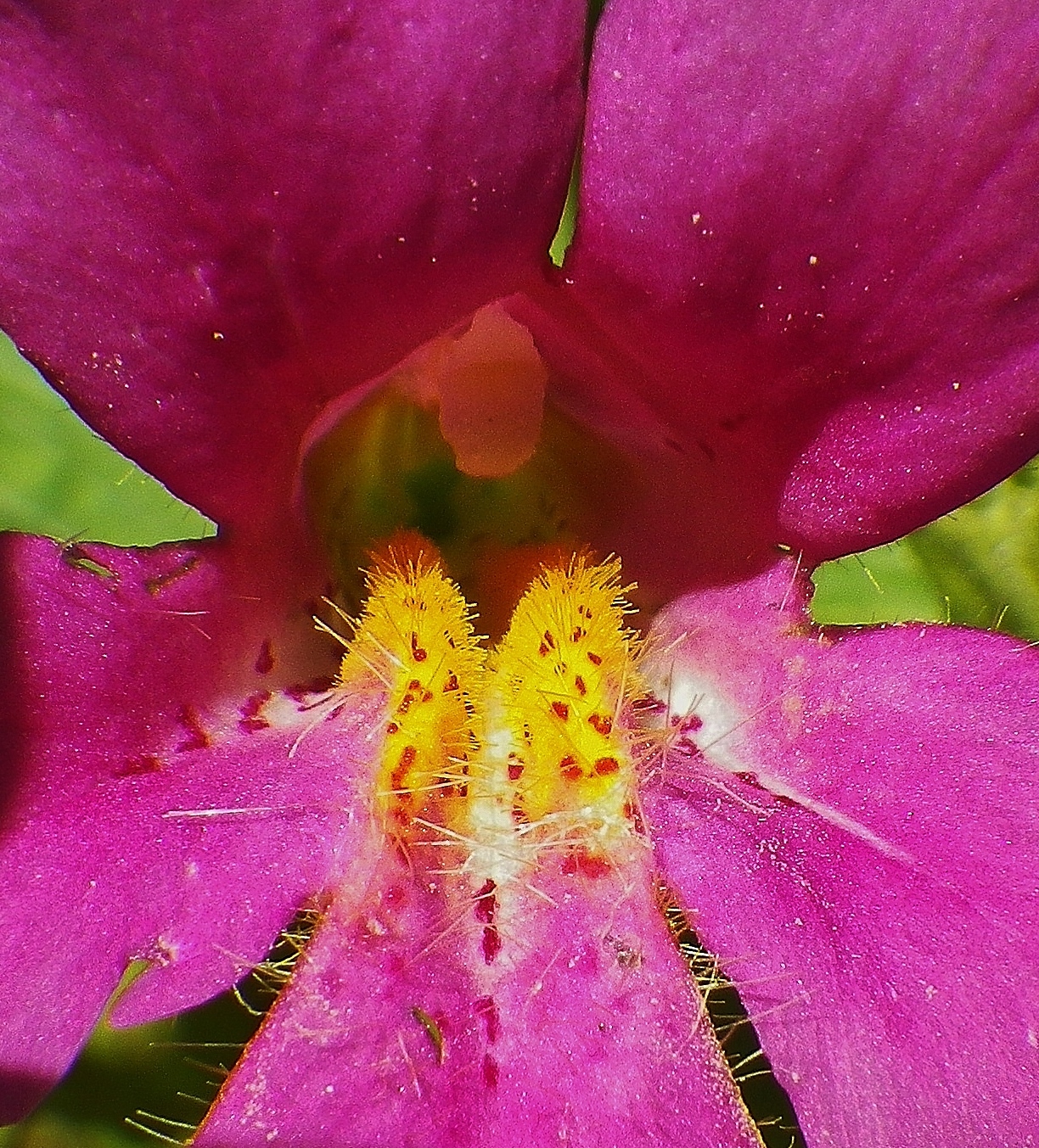
I was feeling great again….as happened at Margo Lake and Pass, and down to Pine Island Lake and well beyond what I had thought possible–then, and now…..but I did stop to rest a time or two as I couldn’t resist another couple of shots of the magnificent Monkey Flower.
Now on to the switchbacks…..
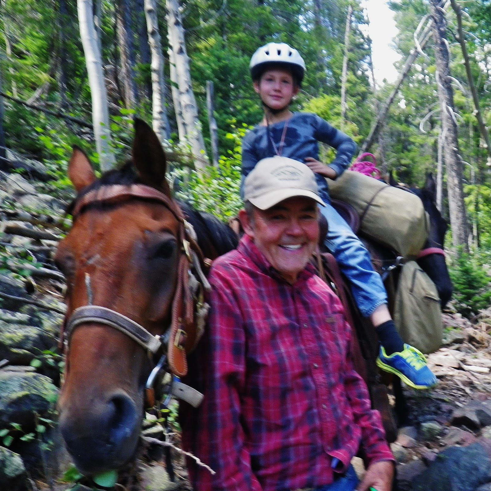
….meeting another grandpa leading a horse with his grandson….
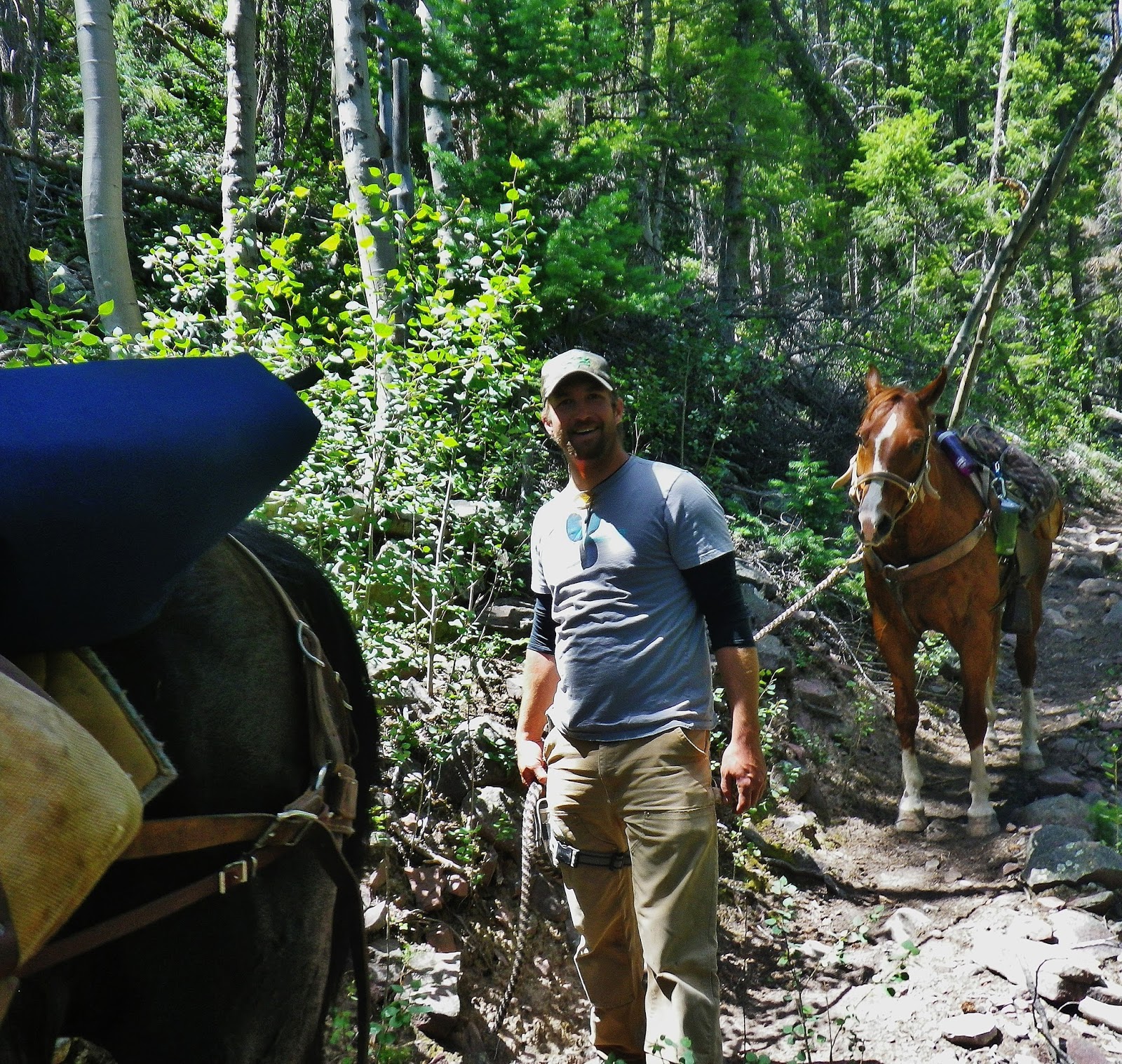
…..followed by his son giving his horse a breather.
By 3:00 I crossed the Uinta River and was into the final 4 miles.

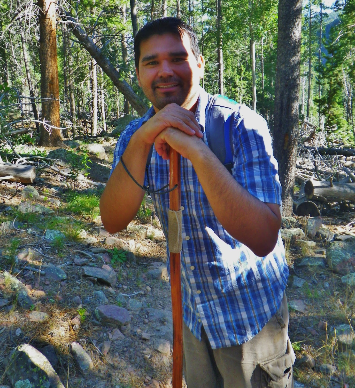
And for the final mile or so I met Rodrigo coming down from his day hike up to the Wilderness boundary sign….and we hiked and talked about the mountains, about our families, and even got into me having lived in Guatemala for 35 years working among the Mayans….who we are still helping…..and……
……wouldn’t you know it….that conversation even revealed he has a son from Guatemala! So I added to the HIGH UINTAS WILDERNESS PROJECT business card he already had, my GUATEMALAN FOUNDATION card…giving us plenty to talk about and making it painlessly to the trailhead!

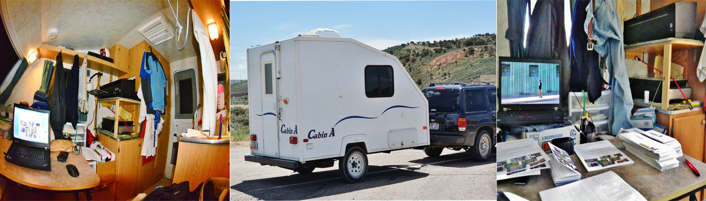
We’ll….after a warm shower in my tiny trailer, and relaxing….as usual with “Wilson” ….in the luxury of my 7’x11′ mansion…….
……….I WAS VERY MUCH ALIVE….and PLANNING WHAT KIND OF STRATEGY WILL YET GET ME TO
“LITTLE ANDY LAKE!”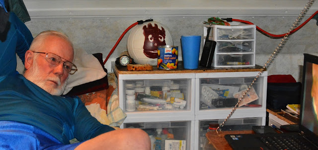

……….I WAS VERY MUCH ALIVE….and PLANNING WHAT KIND OF STRATEGY WILL YET GET ME TO
“LITTLE ANDY LAKE!”


THOUGHTS OF……. “THROWING IN THE TOWEL”
SCREAMING……. “UNCLE!”
“GIVING IN…NOT EASILY…BUT GIVING IN!”
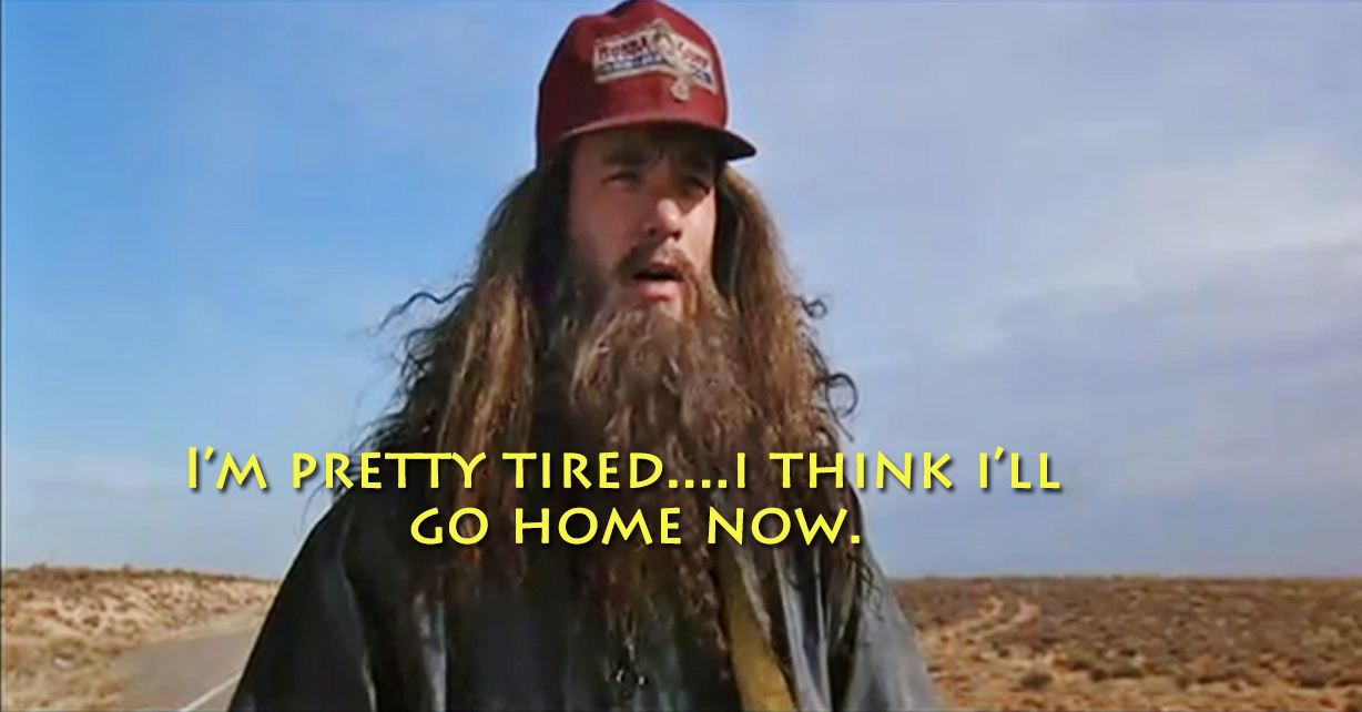
WAS DEPRESSING….SO I HAVEN’T BEEN SLEEPING WELL FOR HAVING HAD AGAIN ANOTHER FOREST GUMP MOMENT….
“I’m tired….. I think I’ll go home now!”
…THEN IT CAME TO ME AND I GOT UP AND SCRIBBLED A NEW SCHEDULE:
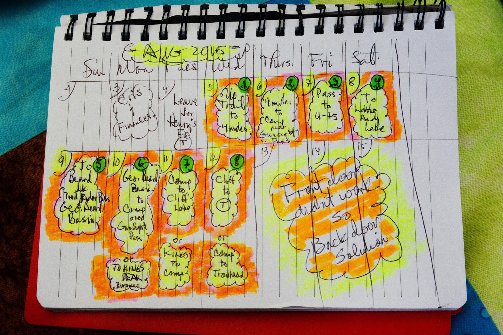
So, on August 4th….with all my affairs in order…..I plan on leaving for Mt. View, Wyoming where I’ll swing south to the HENRYS FORK TRAILHEAD…and get ready to head to
“LITTLE ANDY LAKE”
through the “backdoor” and maybe…just maybe…since,
“IT AINT OVER TILL IT’S OVER!” ….
….knock off a couple of three or four items from my “Bucket List!”
Go back to the mountainscape of Utah’s elite mountains….you see there on the right Gunsight Pass...that’s what I’ll be coming over, after a gradual elevation gain hike up a nice trail…. to get into this area and realize the
“impossible dream!”
“impossible dream!”
UPDATE August 3, 2015
I learned today that I won’t be able to have “all my affairs in order” to be able to leave for the Henry’s Fork Trailhead on August 4th…..also that by putting the “impossible dream” effort off until the last week in August I will be blessed by having with me my buddy Ted Packard and maybe his son, Mike.
During this rest period I will do my darndest to NOT “rest” as that would have me losing all the conditioning I’ve achieved this summer, so if you see an old guy walking around American Fork…like what you see below….DON’T PANIC!

Rest assured that he’s not a terrorist with an explosive vest on with an orange wire to a detonator,
rather an old crazy DON QUIJOTE
trying to keep in shape with a 40 lb. weighted vest on, who in between his workouts will be doing research and writing, as well as being in person on KSL OUTDOORS RADIO….with an invitation to do so in a week or two….I’ll advise all details on this and when the Backpack to Little Andy Lake will be accomplished…
…..SO DON’T GIVE UP ON ME…YET!