
EMAIL: cordellandersen@hotmail.com
Backpack #2-2015 UINTA RIVER/ATWOOD/TRAIL RIDER PASS/Little Andy Lake Planned originally for Tuesday, July 7th -14th,
but now re-scheduled for July 23-30.
Due to weather and Forest Service “closure” this was a failed trip…details are reported in this post.
IMPORTANT NOTICE: I arrived at the Uinta River Trailhead on Monday evening, July 6th and as I was preparing to go up the trail Tuesday morning Forest Service employee, Jeff Mitchell, arrived and posted “CLOSURE” signs for the Uinta River and Atwood Trails (from Robert’s Pass on) until July 16th due to a “fly over” operation with machinery being helicoptered into the area. So I quickly packed up and headed for the Lakefork Trailhead, but will leave below the info on the proposed trip as it is important as it is……
…..the one trip I have to attempt.…..
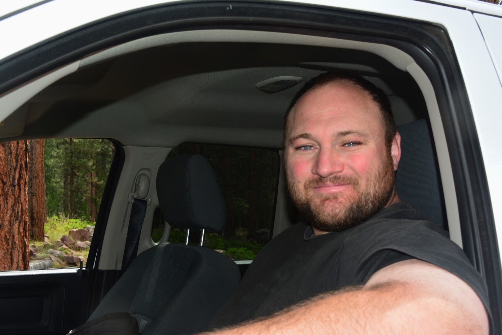
High Uinta Friend for several years…JEFF MITCHELL


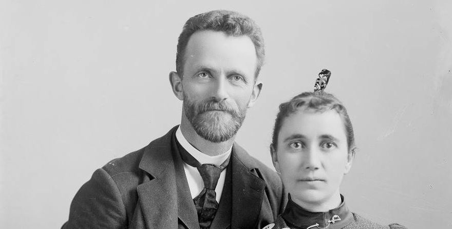
As explained in the YouTube video, THE GRANDADDIES, I relate briefly the amazing story of the pioneer artist/photographer, George Beard…
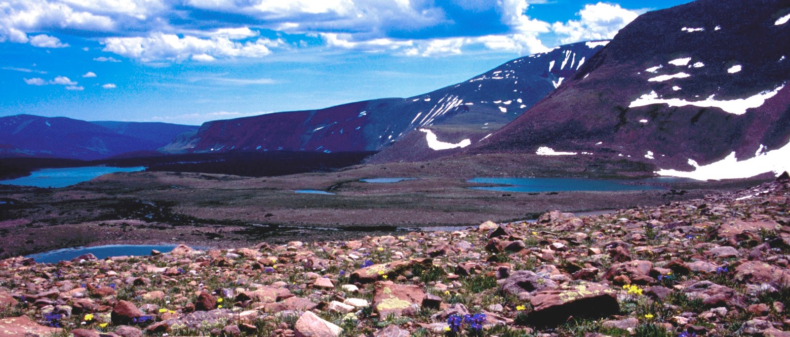
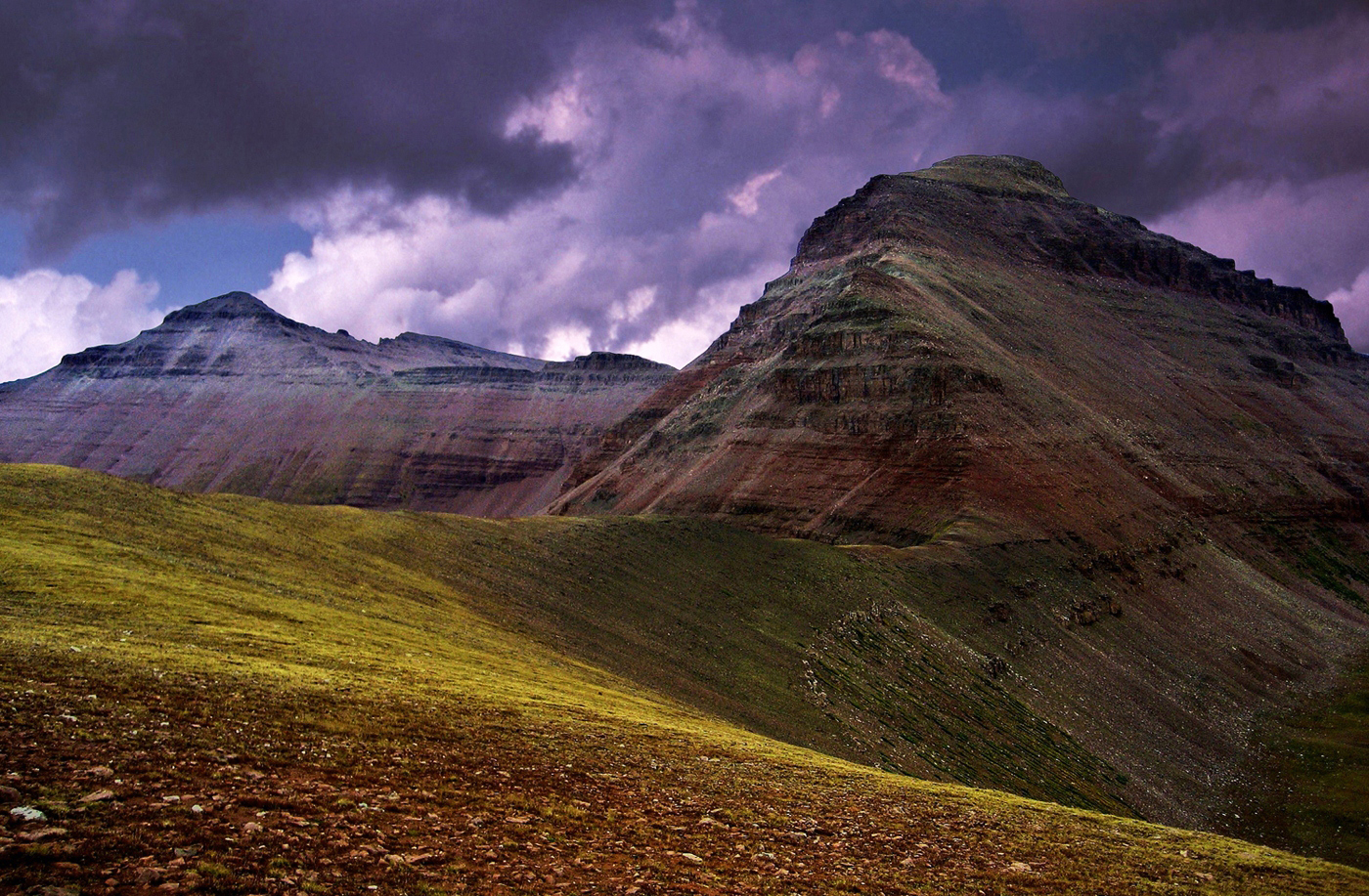
...who named Grandaddy Lake, and also named Mt. LOVENIA (13,219 ft.) giving it his beloved wife’s name….we see below Mt. Lovenia from East Fork Pass between East Fork of the Black River (North Slope), and Lake Fork (South Slope) Drainages.
The stream from “Little Andy Lake” drains into lake U-75 you see below, above which is 13,387 ft. high MT. JEDEDIAH (Utah’s 5th highest peak) …..that I’ve named in honor of Jedediah Smith, who for me is the greatest of the mountain men and explorers of the West–and one of the first, along with his team, to trap beaver on the Uinta’s North Slope, which mountain I hope will eventually become recognized by more than just me. NOTE: Actually the first to trap the Uintas was Donald Mackensie and his team clear back in 1816, and then Michel Bourdon in 1819 who actually named the river they had followed from the Snake River country in Idaho that led them to the Uintas. Due to many bears in that area they named it the Bear River. Michel was eventually killed by a bear in that area, where years later George Beard said he saw up Hell’s Canyon the “largest Grizly I have ever seen!”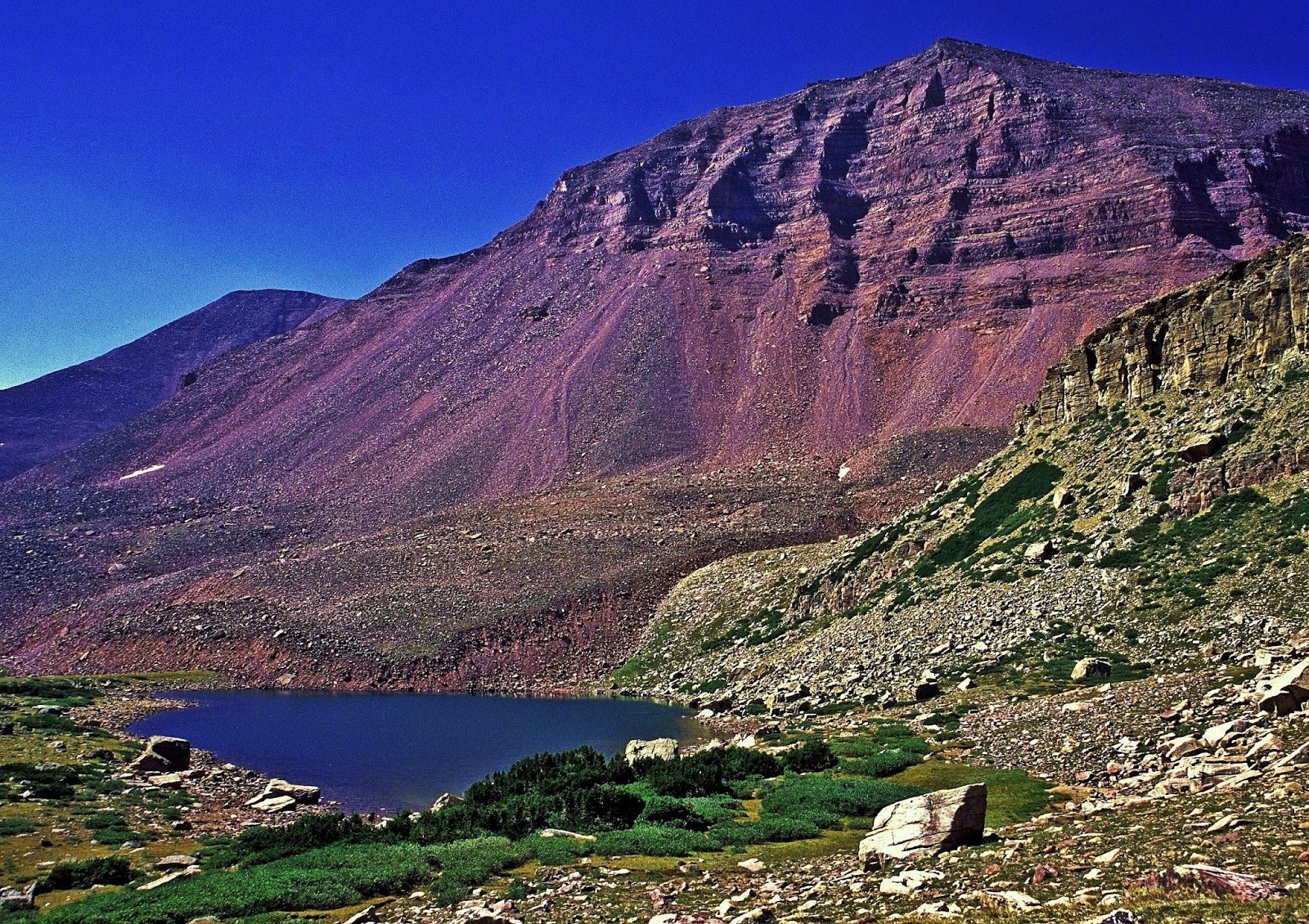
So, this proposed trip was a failure due to the “closure” which in a sense saved me as the weather was horrible for a week, and I also made a mistake again with two weeks off from the Grandaddy trip and lost my conditioning which I soon learned would have produced a disaster trying to reach Trail Rider Pass and area at least 22 miles from the Trailhead.
NOTE: Tuesday, July 14th, if it’s the last thing I do I have to make the above trip, so I’m beginning today 3 x day workouts to be able to soon make that trip and report with the first photos of “Little Andy Lake!”