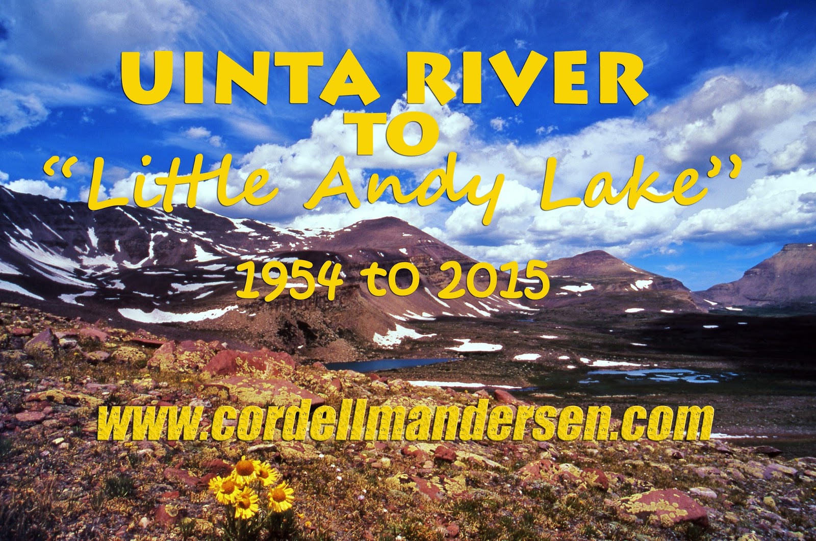
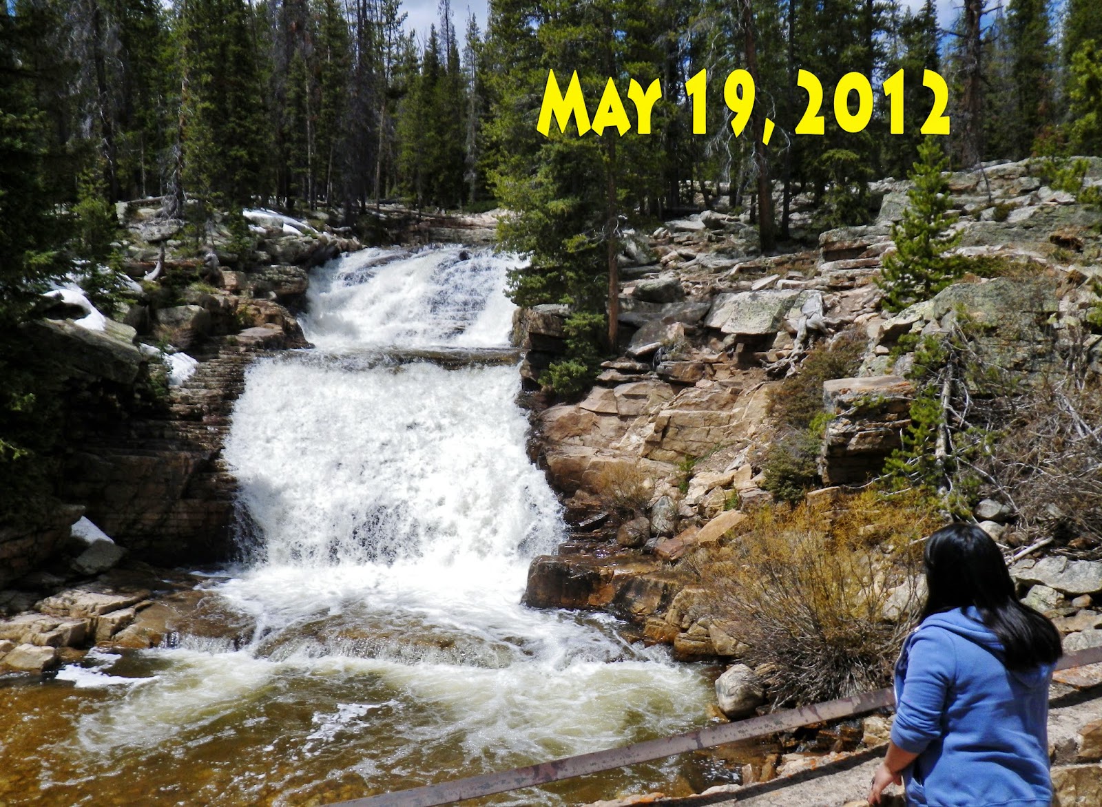
UPDATE: March 12, 2016..STRATEGY FOR DOING THE IMPOSSIBLE..BE 80–LOOK LIKE 60–FEEL LIKE 30!

NOTE:  None of the photographs  can be used  without written permission from Cordell Andersen.  

EMAIL:  cordellandersen@hotmail.com

You should all be aware of special Facebook Page

 Cordell Andersen Photography, and the STORE
where many of my photographs from the High Uintas are available. 


FORGIVE MY ABSENCE, BUT….
**************************
In June I’ll get back to the High Uintas Wilderness Project
….not to worry–Wed. May 13th…there’s still 40″ of snow on Bald Mt. Pass….but
WOLF CREEK PASS IS NOW OPEN


For May I’m working like a slave on the 
GUATEMALAN FOUNDATION
(http://www.guatemalanfoundation.org/)
1973-76 HISTORICAL REVIEW “AMBUSHED but WON ANYWAY….sort of!”
& SOON WILL HAVE THIS
MOST CRITICAL PERIOD DONE & ONLINE
<<<Will be printed for recent contributors & donors for whom we have no email>>>
Then a few days later the Photo/Essay in English & Spanish
***********************************
In spite of having had Pneumonia, I’m training for the 
International Half Marathon in Coban on May 22nd,
but now beginning my 81st year it’s going slow…..
…..maybe without enough time remaining,
but will be in Guatemala
May 18-30th!

FLASH! 
 An Old friend….has doubts about me!  
Check it out at the end of this  post 


Click below for previous post of choice for 2015:

NEW UPDATE: January 29, 2016: 

 IN THE …STRATEGY SECTION

UPDATE:  October 19, 2015
My effort to get to “Little Andy Lake” going up Henry’s Fork…failed…. as I was ambushed by a silent killer…check the photo/essay for important details that can SAVE LIVES!  Here are explained the outcome & future plans as….. 

…I WON’T GIVE UP…EASILY!

I’M GOING TO DO IT IN 2016 WHEN I’M 80 YEARS OLD! Read on to see how.


Normal backpacking must continue–as it has so far held at bay the “peripheral neuropathy” that was trying to cripple me….and of course also “old age,” so…
you’ll have to wait a while longer for me “to grow old!”
  So have to  keep alive, and in shape..
….for at least ONE MORE YEAR,  and so I’ll continue to scare the heck out of the residents of American Fork by walking around for the next 9 months with what some of them think is a 40 lb.  “explosive vest,” like you see below.  I’ll do my darndest to make the third attempt “the charm!”
Click below for important discovery & solution

MY STRATEGY FOR
–Giving hope to this old geezer– 
DOING 
“THE IMPOSSIBLE”
1.  Work out every day, no matter  the weather conditions- – From Feb. on prepare for the International Half Marathon mentioned next, plus get ready for backpacking…so, the program now is, in addition to “compound weight exercise training,”  & the special “Carb Nite Diet,” designed to lose only fat (20 lbs. of it) while building muscle, and workout  every day with 40 lb. weighted vest, doing a type of “interval training,” by jogging/walking beginning  with 30 yards….then walk 30 yards, gradually increasing repetitions…up to 25, then increase… 
NOTE: The first time my legs were sore.  
>Then lengthen distance to 50, and now (3/12) 100 yards per repetition, 
NOTE:  Now not experiencing any  soreness as I increase distances & repetitions.  
>Continue to gradually increase repetitions, lengthen the distances, and pick up the pace until down to target weight of 150-55 lbs.  (by end of March).
THEORY:  I would always see overweight guys and gals get to the finish line….some ahead of me!  They had to have incredible muscles under all that fat.  So I’m working on building those kinds of muscles with the 40 lbs. of weighted vest.  Soon I will have lost 20-25 lbs. of fat, while building muscle….then with 20 lbs. less body weight, and taking off the vest, I will essentially be 60 lbs. lighter, but with new muscle–and be able to fly, and then turn to more normal training and be ready for the race, and also backpacking.

2.  The DAILY WORKOUT now, as explained in 1. includes getting ready to compete with the Kenyans….after an 8 year layoff, in the  International Half Marathon in Coban, Guatemala on May 22nd….and be the only 80 year old to do it….SEE BELOW FOR DETAILS from the GUATEMALAN FOUNDATION website.
3.  Get rid of the “bread belly,” as explained above–  and be down to my weight at 30 yrs. old

4.  Apply faithfuly all the secrets  in my ANTI-AGING CHALLENGE 
              Be 80, look like 60, and feel like 30!

5.  Backpacking gear will basically be the same as I believe I have the optimum, except I will use light weight trail running shoes.
6.  Reduction of weight strategies will include: 
      a. Photo equipment weight reduction as used in the Henry’s Fk. backpack, reducing 4 lbs. from normal photo waist pack & equipment,  and 2 lbs. reduction with no tripod…total reduction 6 lbs.
       b. No backpack stove/butane, reducing 1 lb.  ;  
       c. Food will  all be high protein/fat/high energy  drinks, plus supplements/vitamin/minerals  only requiring adding water–no cooking, reducing 5 lbs. for 8 days;  Note:  Of course I’ll have fail-proof fire starter, aluminum foil & salt shaker…. to cook fish if needed.
     d. No Colt .45 Defender, reduction:  2 lbs. (no need in a high traffic area)

TOTAL REDUCTION OF WEIGHT FROM NORMAL LOAD FOR 
8 DAY BACKPACK = 14 lbs.
That will have my total load around 35 lbs. for 8 days, which, for me, essentially includes  my Nikon camera with 28mm to 300mm zoom & fish-eye lenses.

7. Sufficient food to make possible ample time for high altitude acclimatization…. enough for at least 8 days to not only  make it to “Little Andy Lake,” but also achieve exploration of George Beard Basin, & fishing one more time in Beard Lake, and U-75 where I have hooked record brook trout, plus maybe one more try at Cliff Lake and “the alligator-like swirl” attempt at my lure–the greatest ever experienced in fresh water–in “the Land Northward”…… from a native cutthroat trout.
NOTE:  The greatest was by a huge largemouth black bass in a lake near where I lived for 35 years in Guatemala.  Later in the same area a 27 lb. black bass was taken with a spear gun, and weighed at a friend’s store.  I imagine it was the one that went after my lure, but missed, which if caught on fishing gear would easily have been a World Record!

8. Prescription “Diamox” to help accelerate acclimatization;  

9.  Extra supplements to strengthen my body’s  ability to handle stress and altitude .
10.  Always have emergency survival items like:
*****Satellite phone*****SPOT Tracker****** 
Emergency Medical items for heart emergencies emergency antibiotic, etc.
  
11. Last, but not least, my buddy Ted Packard insists on going with me.  I think he’s afraid I’m just getting too old for this kind of youthful stuff, and thinks he will become famous by SAVING ME!  But…..he’s older than me….so who will be saving who?
His son MIKE, is also going….likely having doubts about
both of us old geezers!
KEEP IN TOUCH TO SEE HOW FUNNY THIS ENDS!

FINAL NOTE:  I’m already planning, doing my topo maps, for the backpacks I’ll do this summer, after getting to Little Andy Lake….so tune in to see my 
2016 QUIXOTIC TRAIL!
As you can see this area is all above timberline so I will likely have to wait until  mid-July as otherwise a lake at 12,302 ft. would be frozen over still.
Let me know what you think….in the meantime….
****
From the Guatemalan Foundation website:

Last of all the ANNOUNCEMENT
The successful flurry of donation activity at the end of 2015 is making possible the foundation doing something that was one for quite a few years, after we returned o the U.S. in 2002, but not possible in recent years.  I’m referring to an “INSPECTION TRIP” to Guatemala each year, which also made possible me participating in the Coban International Half Marathon in May–completing 14 consecutive years of competing against the Kenyans, Ethiopians, & Moroccans.
That’s of course a joke….but I did always make it to the finish line. 
The race has grown incredibly from 2,500 runners to now around 15,000, an incredible sight of color filling the narrow streets of Coban.
I will represent the Guatemala Foundation and be the oldest, at 80, who is a “cancer & heart attack survivor,” with  3 screws holding together his “football ankle,”   titanium jerry-rigging his “motorcyle knee” and a titanium hip…..and will have the Kenyans quaking in their running shoes!   Likely, “Quaking” with laughter!
I will be able to say “hello and goodbye” to all of our thousands of brothers and sisters, who we have served to the best of our ability, and return with video and photographs to produce an interesting YouTube video, or two, as well as a few interesting newsletters to make  complete our…..

THE RESULTS?
I had an incredible 12 days in Guatemala, which reports will begin to appear on http://www.guatemalanfoundation.org/  beginning late today, June 5th.  But the race? Results sent to me via email:
.….but, in the interest of “full disclosure” I have to stick to a vow made when young to never say vulgar words or lies to a woman!
So, the truth is that I tried a week before to see if I was ready, and came up 5 miles short (of the 13 miles), so decided I couldn’t risk it….and gave my number to a young friend, David Barrientos,  who did the time mentioned above, who you see above:
But, I was there and took  video and photos………of the 15,000 runners & 100,000 spectators…….


 ……and  the men’s winner from Kenya, who has won here 4 times in a row…….
……and the woman champion also from Kenya……

……and my dear friend Inque Chavarria, we see above,  who did well again as he has done for many years. As well as my son Lito’s (CordeLITO Ammon), father-in-law Edgar Pacay (Diana’s father), we see below when we visited him in his home in Coban, who did it in 2:08 


BUT….watching it I couldn’t help but think…..with my body all reconstructed and now without pain for the first time in 30 years,  “I CAN DO THIS…..SO MY TRAINING HAS BEGUN ALREADY FOR 2017 when I’ll be in my 82nd year!”
So my supposed final “ADIOS,” turned into an 
“HASTA LUEGO” to all my dear Guatemalan friends.

GOLDEN ANNIVERSARY YEAR

Research in the Uintah Basin & Defa’s Dude Ranch….then: “LIFE SAVING” Photo/Essay: Backpack #3-2015 HENRY’S FORK to “Little Andy Lake” — Ambushed by “THE SILENT KILLER” …STRATEGY for DOING “THE IMPOSSIBLE” for a WORN OUT OLD GUY IN HIS 80th YEAR!

Click below for previous post: 

Backpack #2–UINTA RIVER…ATWOOD TRAIL….NEAR CHAIN LAKES & TOUGH ROBERT’S PASS… H.A.S. & HEART PROBLEM… Almost another “Forest Gump moment”…. No “GIVING IN YET!”


UPDATE  Monday AUGUST 18, 2015
I’m presently into the 4th day (of 4) doing research in the Uintah Basin starting last Saturday spending a couple of hours at the Saloon at DEFA’S DUDE RANCH on the North Fork of the Duchesne River, and, in addition to a few new High Uinta Friends, came away with a treasure load of great information, history, legends and “tall tales” from my new buddies.  One of them, Micky, the baretender says hello below:
 Then I was on to the Forest Service in Duchesne and the Public Library, and will finish up at the new Duchesne County History Center.

I hope to make it to the Henry’s Fork Trailhead by Tuesday evening, probably late…and……Wednesday morning be on the trail towards Gunsight Pass taking me to the Kings Peak area, and on to set up an above timberline camp in the shadow of 13,387 ft. Mt. Jedediah on tiny U-75 lake which produces monster brookies.
I have programmed my SPOT Tracker, that  being the link if you want to follow me on the trail & see where I am each evening on Google Earth.  I now have a  more reliable sat phone from Russ Smith & SKYCALL SATELLITE (where you can  rent your’s too)  and hope to be able to make my report early Saturday to KSL OUTDOORS RADIO and, if all goes as planned, make a day hike that day from my camp on U-75 lake up to “Little Andy Lake” and be the first to report on this alpine lake that is at 12,203 feet,  a hop, skip and a leap  from South Kings Peak.
Then on to Beard Lake where I once had on briefly what would have been  a Utah State record brookie (and winner that year of the FIELD & STREAM fishing contest),  & Trail Rider Pass, and then test the waters of all of the lakes in the George Beard Basin and be the first to post a report world-wide on that basin….. and we’ll see what else.
I know that lately I’ve been just “so much hot air” but have to practice what I preach…NOT GIVING IN…EASILY, and doing my best in my 80th year to avoid  having a “Forest Gump moment!”

NOTE:  None of the photographs  can be used  without written permission from Cordell Andersen.  
EMAIL:  cordellandersen@hotmail.com

NOW THE PHOTO/ESSAY
A —“DEADLY AMBUSH” –NEAR GUNSIGHT PASS

August 19, 2015 at HENRY’S FORK TRAILHEAD
The Trailhead is 30 miles south of Mt. View, Wyoming, or 68 miles from Evanston.

The Trailhead parking lot was overflowing with cars.  There would be a literal parade of mostly King’s Peak climbers coming and going.  If you’re new, KINGS PEAK is Utah’s highest mountain at 13,528 feet.  With so many people on the trail I wouldn’t be able to stop and talk to everyone like I usually do.

I had come the afternoon and evening before all the way from the Uintah Basin, slept in some and got a late start around noon.
 In my 80th year, I had done my best to get my load weight down for an 8 day backpack to 34 lbs.  For such an important trip  I desperately wanted to take my good Nikon camera, rather than the Pentax point-and-shoot used on the Uinta River trip.  So I focused on losing 5 lbs. of body weight during the preceding  week and made that goal…..  
 So, you’ll notice I don’t  have wrapped around my midsection the “spare tire”...at least it’s smaller, nor  my new photographic waist pack (that with my Nikon camera and extra lenses weighed around 10 lbs.–12 lbs. with tripod).  Rather I only had a lightweight waist pack with the camera, a fish-eye lens, and a much smaller radio–a Grundig seen below, weighing only a few ounces….all in all saving around 7  lbs. of weight from the normal pro-photo equipment, but that small waist-pack  brought my  load weight to 40 lbs. including water…..but compensated for by 5 lbs. less of body weight.  

NOTE:  The new radio for this year, shown previously,  turned out to be a heavy (l lb.) piece of junk!

OH…..ALMOST FORGOT TO MENTION….
As usual I had  from Russ Smith at SKYCALL SATELLITE  a satellite  phone….this time one a bit more reliable although a bit heavier, like you see below:

As well as always having my 
SPOT PERSONAL SATELLITE TRACKER 
to be used daily.


Elevation at the Trailhead was a bit over 9,000 ft.–a signifcant advantage over the Uinta River Trailhead that is around 7,000 ft.

Map #1 shows basically the territory I’d cover the first day…from the trailhead around 4 miles with 1,000 ft. of elevation gain.  Good 1st day for an old guy in his 80th year.


A very short distance from the Trailhead you cross the Wilderness boundary and right off begin seeing backpackers coming and going.


We are in historic country…..
…..paralleling the Henry’s Fork of the Green River.  This well known land-mark river was named after he who most of his life was known as “Major Andrew Henry,”  but who had actually ascended to  be a brigadier general in the military, and then was elected lieutenant governor of Missouri.  Later he became the partner of General William H. Ashley and  their fur-trading venture on the upper Missouri River and together would go on to revolutionize the Western fur trade with the help of  all the famous mountain-men such as Jim Bridger, Jedediah Smith, and others mentioned below. 


As we can read in this Historic marker just over the line into Wyoming, it was on the Henry’s Fork where the very first ROCKY MOUNTAIN RENDEZVOUS was held in 1825.


On one of my explorations I made it a point to try and pin-point the exact spot where this famous Rendezvous was held….seen below


So, here we go up the famous  Henry’s Fork of the Green River.  Once again, as many of the streams coming out of the High Uintas, very seldom if ever fished….and it would be good….it will be good as the “streams of the Uinta” will be my next focus, once I get the “unique book” put together I’m now working on.


In good style I made it to my first camping spot 1.5 miles below Elkhorn Crossing (about where the red-dotted trail leaves the map above), went for water, and while my Gravity Works system did its magic purifying my water…..


…I set up camp, and soon was snuggled in for the first night….but….at about 10:00  my air mattress went flat!

Comfort and being able to sleep would be a problem, but the main one would be no insulation between me and the cold ground…especially with my quilt that is designed to cover and keep one warm on the top side, but for bottom warmth dependent on the air mattress.  Luckily it had been sort of cold at the trailhead and so, fearing colder weather in the high country, I had thrown in my long-johns…which I quickly put on under my pants and so was a little protected.

However, by 1:30 I just couldn’t sleep and so got up to see if I couldn’t find the leak and fix it….which you’ll notice above was fixed, not with the Therm-a-Rest repair kit as patches were gone, but using tent repair material and my trusty Plastic Surgery glue, that has served to repair water bladderglasses, gluing on a crown that came lose, fixing head lamp, and now the mattress
I won’t go on a trip without said glue, that is much better than normal Super Bonder.

Up the trail the next morning I said hello to a Peruvian sheepherder, but didn’t have my camera at ready until he was up the trail.  Over the years I’ve met herders from Mexico, Chili and now Peru.


Soon I arrived at Elkhorn Crossing where the North Slope Highline Trail crosses the Henry’s Fork trail.


The right hand fork goes towards Bear Lake, then forks with the North Slope Highline Trail continuing west, the other fork goes up  the west side of the Henry’s Fork Basin. There’s actually an un-marked trail that goes up the middle—the right side of the stream, which I have followed to go to Henry’s Fork Lake, and on to Castle, Blanchard, and the most remote, Cliff Lake.   My trail for this trip continues south, crosses the stream and then forks again.


Here we get our first glimpse of the high country enshrouded in smoke from the forest fires all over the West.


On the east side of the bridge the trail forks, mine going up towards the south and Dollar Lake and on to Gunsight Pass, the Uinta River Drainage,  and the Kings Peak area.  This trail follows one of the two ancient trails over the Uintas used for centuries by the Native Americans.  


The other fork going east is the North Slope Highline Trail that first leads to the Beaver Creek Drainage and   its West Fork that takes one to the base of Gilbert Peak, Utah’s 3rd highest at 13,442 ft.  


As I was getting up into the high country I got to speak Spanish with three other Peruvian sheepherders.  


In another mile or so there loomed through the smoke to the west CASTLE PEAK at whose southern base lies one of the remote and mysterious lakes of the drainage, Castle Lake you see below.


It is described in one guide book as not only remote and little visited, but “mysterious.”  That got the best of me a few years ago and I had to get there.  I made the entire 12 miles to it from the Trailhead in just one hard 1st day–wish I could still do that!  But, no mystery, just tons of sassy eastern brook trout!


Soon there comes into view our first glimpses of Kings Peak…the triangle shaped peak on the right half of the panorama….we zoom in on below.


Then passed me Trent and Sally Johnson, on their way to camp at nearby Dollar Lake.  I needed some rest so let them get up ahead of me where they rested below with their objective hanging over their heads–KINGS PEAK.


Then their companions came by:   Conner Sugrue and Sarah Ann Skousen.

I finally caught up with them and we had a BYU reunion….me from way back when BYU was more like a high school!  We were at what on the topographical map below is the 7.45 mile point, actually more accurately 8.5 miles from the Trailhead–I say that, as to the route distances on the topo maps,  you should add 15%.   This is the Dollar Lake area where many camp, and then take a day hike of 8 miles to Kings Peak, for a 16 mile round trip hike.

I felt like I had to go on a bit further towards Gunsight Pass to make my 3rd day shorter.  I would be above the 11,000 timberline and went on to about 11,400 feet that would have been above the line of pines we see below.
This is  an old photo of the area as I was moving up towards the pass and the proposed  camp site…we see on the map below.


Below we get a view towards Gunsight Pass from the stream that gushes out of Blanchard Lake, and  the arrow pointing to approximately the area where I had planned on camping….and actually got to it  at about 11,400 ft. in elevation.


The camp site was to be in a little clump of alpine firs like we see below, with water nearby.  I actually didn’t take pictures as I was beginning to feel so bad that photographs were the last thing on my mind.  

  It was a spot where I had camped twice before on climbs to Kings Peak.  
The first time was in late August 2004, 6 weeks after knee surgery, when I hadn’t exercised for most of that time, and it wore me out to do it all in one day from the Trailhead.  Extra takes of Glutamine and Calcium/Magnesium had me come out of it.  The next day I went on to camp on Kings Peak and it developed into one of the great SURVIVAL EXPERIENCES of my life complicated on my way out with a heart attack….8 miles from the Trailhead in the midst of which my desperate prayer was miraculously answered.  Click on that if interested.

Normally this is the way I feel and look in the mountains, but this time at the proposed camp site at about 11,400 feet all systems were falling apart and I all of a sudden began feeling very sick……
…………what was happening?

I was extremely fatigued and unsteady on my feet.  Wheezy breathing had been developing for the last hour.  I had the feeling I was coming down with the flu feeling body temperature possibly rising,  a splitting headache, and nausea with the very thought of food had me wanting to vomit.
Worst and most worrisome was that my pulse was very fast, and I was able to detect a very erratic and irregular heart beat which I hadn’t had for at least 6 years, except for a couple of weeks ago one night on the Atwood Trail…..which then had me worried and deciding to drop down in elevation returning to the trailhead–rather than trying to climb tough Robert’s Pass.
AMBUSHED BY “HIGH ALTITUDE SICKNESS” or “ACUTE MOUNTAIN SICKNESS – AMS”
My body  was  basically being deprived of oxygen and without that all bodily systems begin to break down and can eventually fail if something isn’t done quickly.  
Normally most people’s bodies adjust, adapt and quickly acclimatize, but sometimes, due to being out of shape, or sick with a depressed immune system, or weakened with advanced age, etc. normal bodily functions fail, and the spiral downward of High Altitude Sickness can set in which is what was happening to me, converting me into something I wasn’t….very tired like we see below, but I couldn’t afford to think about sleeping……..but had to act quickly!
It was  something to be concerned about, and the heart irregularities were the clincher. To make that more dangerous I had somehow lost the tiny EMERGENCY KIT I have carried with me ALWAYS since I experienced a heart attack near here in 2004.  It is a little bottle of Nitroglycerin tablets, also with a couple of Aspirin, and blood pressure medication….like you see below crossed out as I HAD LOST IT!


I did have Aspirin and immediately popped one in my mouth and chewed it up, then the “Miracle Recovery Formula:”   1.  A recovery drink with 5 gms of Glutamine, mixed with Electrolite Replacer, and Calcium/Magnesium.   2. 6 capsules of WELLNESS FORMULA, and 3. one tablet of DEFENSE PLUS.  I  then shouldered my backpack,  said a word or two of prayer….and
HEADED DOWN!
….which is the only effective solution 

A week later I finally found my little Emergency tin….in my running shorts!


A MATTER of LIFE and DEATH!
It’s worth pausing just for a moment or two to understand this better.  First with some basic guidelines:

NOW A FEW INSERTS FROM THE EXPERTS FOR GREATER UNDERSTANDING


PREVENTIVE SUGGESTIONS 
  • For people who do not know the rate at which their bodies
  •  adjust to high altitude, the following preventive measures are recommended.
  • 1. acetazolamide (Diamox) a prescription medication can help speed acclimitization and thereby prevent AMS.
  • 2. Avoid physical exertion for the first 24 hours.
  • 3, Drink plenty of fluids, and avoid alcoholic beverages.
  • 4. Consume a high-carbohydrate diet.
  • 5. If mountain climbing or hiking, ascend gradually once past 8,000 feet (2,400 meters) above sea level
  • 6. Increase the sleeping altitude by no more than 1,000 feet (300 meters) per 24 hours. The mountaineer’s rule is “climb high, sleep low.” This means that on layover days, a climber can ascend to a higher elevation during the day and return to a lower sleeping elevation at night. This helps to hasten acclimatization.
  • Google it and inform yourself.
DON’T FOOL YOURSELF


For most of my life there has been no problem.  For my first year on the High Uintas Wilderness Project, including my “27 Day Expedition,”  there was never a hint of this.  Then I got older, had cancer and knee surgery and didn’t exercise for a month or so and went right up to camp at over 12,000 ft…..and WHAM!
Another time it hit me after having got sick and needing my emergency anti-biotic and when recovering, but still weak, worked to get back to civilization climbing  a 12,300 foot pass….and WHAM!

Over the next few years I went through other surgeries on ankle, knee, back and eventually on my hip while getting older and apparently more susceptible requiring greater awareness and ability to act quickly.  

THE BEST BACKPACKER….INVINCIBLE?
The best backpacker I have ever known,  who is my age,  until two years ago never had a hint of this problem.  Then on a backpack up Swift Creek, over Bluebell Pass, then down to Yellowstone Creek, and from there up the canyon and over Tungsten Pass to the Garfield Basin, and there at about 11,000 ft. all of a sudden he had High Altitude Sickness and actually lost consciousness.  His poor brothers didn’t quite know what to do, and…wouldn’t you know it, they were experts and hadn’t felt the need of  following  my advice to have a SPOT tracker, and/or  satellite phone!

They finally revived him, took all of his load, and  carefully headed DOWN into Yellowstone Canyon.  At 9,500 ft. he was a new man, shouldered his pack and was the first down the trail, but he came close to his demise!

I will tell all the details of this and other similar stories in the book I will be putting together during the next 12-18  months.

SO….WHAT WAS I TO DO? 
I had pop into my mind the melodious voice of…..
…..singing: 
So, I “folded em” and  “walked away” going DOWN, the only effective solution, heading  carefully for the Dollar Lake area where I  jumped a bull moose and actually hit my SPOT Tracker OK button intending to camp there…..

…..but then thought it best to use the last hour of twilight to get down another 700 feet of elevation and camp at Elkhorn Crossing’s 10,300 feet elevation.


By the time I got there enough light was left to go to the stream for water and get it purifying, then  with my headlamp I set up my tent and  was soon snuggled in for the night grateful for having had the wisdom to recognize what was happening to me and what I had to do quickly.  Yes, and thankful for having had the strength to move down the trail, and gradually feel better and pick up the pace, lengthen my stride,  and make it to  the safety of a lower elevation.  I actually had hiked about 9 miles that day.
….but that didn’t happen…yet, so up and raring to go the next morning, assuming that going downhill I’d be at the Trailhead in short order!

ON THE TRAIL….AGAIN
Wow!  Did I sleep good…..not even waking up until 9:00 AM.  That little wrestle I had with life really wore me out and so I was slow to move down the trail….but I did move a little at a time, passing by, but mostly being passed by all kinds of outdoor lovers.  I had 5.5 miles to go to the Trailhead, and the safety and luxury of my tiny travel trailer “CABIN A”

LITTLE DID I KNOW THE “BLESSING IN DISGUISE” AHEAD OF ME FOR HAVING “Folded em” AND COME DOWN THE TRAIL…..read on to see what I mean….

Among the many seen on the trail was a group of youthful Forest Service workers going up the trail…..


…and soon behind them came a Wilderness Ranger on horseback.  She looked at me and shrieked,

“NO!  YOU’RE DEAD!”


She was Teresa Facinelli who I had met 8 years ago, along with her husband Bob,  at the Hewinta Guard Station on the West Fork of Smith’s Fork, 


They had introduced me to the “TIE HACKER WORLD,” beginning for me a wonderful journey opening up the mysteries of all the ruins on the North Slope, incredibly enhancing my High Uintas experience,  and putting me around  #1 on Google searches  with 14 photo/essays and YouTube videos on the important subject.

She told me that a few years ago she had Googled my name and found the following obituary announcing that I had died in 2010.
I had in the past  also seen the obituary and had a good laugh.  This was MUCH MORE THAN AN NDE (“Near Death Experience”).  I APPARENTLY HAD BEEN REINCARNATED INTO A NEW LIFE!


But, still very much alive, we had a great reunion and conversation and then we moved on.  
BLESSING IN DISGUISE….if I hadn’t of had trouble and backed off…I would have never ran into Teresa, nor met all these other great new friends!

A bit further down the trail I came upon another group of backpackers….this time the couple in middle from Utah State in Logan.  Both of my parents were from there and had studied at Utah State. 
 I admitted liking it a lot–except when playing BYU!

Note:  Please excuse the poor photo, but it was the only one I got.  Scott will send me a good one soon to replace this poor one.
Last of all I met SCOTT NELSON and his two handsome boys, Scott Jr. and Adam.  They were returning from having scaled King’s Peak.  In sharing some my experience, Scott admitted that as they climbed from Anderson’s Pass to the summit, he began experiencing also the symptoms of High Altitude Sickness, or Acute Mountain Sickness (AMS), and was grateful to learn about it.  We both agreed that: 
 It is something all should be aware of and that such understanding could literally save lives.

My weekly report on Saturday morning, August 22nd,  was phoned in this time with my cell phone from my weekend “rest camp” in the Walmart parking lot in Evanston, Wyoming.  If interested you can listen to the podcast for the 1st hour, at about 6:15-20 AM
AT THE END OF THE BACKPACK….

….well, I finally made it to the comfort and luxury of my earthly mansion, and was back with my faithful buddy, “Wilson.”  I was grateful ….for the success of the trip–running into Teresa, and acquiring wonderful new friends, and  having backpacked about 20 miles in the 3 days, even though not reaching my goal …..
  

First I made the mistake of thinking that one of you young bucks out there would have to get to “Little Andy Lake,” photograph it and get the report to me….BIG MISTAKE!  UPDATE:  Hold off….I’M GOING TO DO IT IN 2016 WHEN I’M 80 YEARS OLD! Read on to see how.
So, for all of you, my HIGH UINTA FRIENDS, where does this leave me?
Note:  Below are my High Uinta Friends  from 2013 who represent the many hundreds from 2003 to the present……One of these days I’ll add to this montage pictures of all the High Uinta Friends I have been blessed with since 2003–that will be an incredible conglomeration of magnificent friends!
This great group of friends is more and more evolving to be my “CHEERS” sort of “brotherhood,”  “where everybody knows your name, and they’re always glad you came,” or….. glad I came out with a new photo/essay or YouTube video!

Did I have another FOREST GUMP MOMENT?

Not really, it was just another “glitch” on the trail ….
..as many others I have had, and an opportunity for a TEACHING MOMENT...about High Altitude Sickness for the blessing and benefit of all those who stumble across my website and pay attention.  If you do I guarantee that 
LIVES WILL BE SAVED–MAYBE YOURS or THAT OF A LOVED ONE!

For the rest of this season I will focus more on the research and writing aspects of the Project, and for  the future accept that the time is fading for “heavy duty backpacks,”–
EXCEPT FOR ONE MORE IN 2016!..
….normal backpacking will continue–as it has so far held at bay the “peripheral neuropathy” that was trying to cripple me….and of course also “old age,” so…
 you’ll have to wait a while longer for me “to grow old!”

Backpack #2–UINTA RIVER…ATWOOD TRAIL….NEAR CHAIN LAKES & TOUGH ROBERT’S PASS… High Altitude Sickness & HEART PROBLEMS… Almost another “Forest Gump moment”…. No “GIVING IN YET!”


PHOTO/ESSAY: 
Previous effort to get to Little Andy Lake
Posted August 2nd
Don’t give up on me….but make sure and go through this all the way to the SURPRISE ENDING!……UPDATED 08/03/15
This backpack (#2-2015) was considered “essential” to the High Uintas Wilderness Project.  At the same time it was to be up what some of us consider the “most difficult trail in the High Uintas,”   illogically left for the tail end of the project when I am in my 80th year!

In a sense the overall objective, and final destination of the backpack, was sort of self-centered as it was to get to, photograph and report on a tiny no-name, no-umber lake  I had given my nickname as a youth to. 
 Little Andy Lake is nestled  humbly in the shadow of Utah’s elite mountains–Kings and South Kings Peaks 
 In 2014 my friends on KSL Outdoor Radio  suggested a lake be given my name.  So, just as a humorous exercise I did so, but using my youthful nickname, and purposefully choosing a lake I figured no one would care about or object to.

  This tiny lake in the east shadow of South Kings Peak is unique as it was slightly above 12,000 ft. in elevation, and on Google earth actually looks  large enough and deep enough for the DWR to consider air-dropping a few Cutthroat or Golden trout into.

But, I had to get to it and give it a little publicity….thus…
 Backpack #2-2015: Uinta River to Little Andy Lake.

The backpack begins at the Uinta River Trailhead, 26 miles north of Roosevelt, Utah on the Uinta’s South Slope.

As at all Trailheads surrounding the High Uintas, we are constantly reminded of the FIRST LAW of our Wilderness Areas and I want to DO MY PART…so….
As you will notice in this photo/essay we will here and there reminisce about the past….as it was at this Trailhead where in 1954 me and buddies, Ted Packard and Charlie Petersen, returned to civilization after a 15 day crossing of the then Primitive Area, having backpacked from the Grandview Trailhead and the Grandaddy Basin far to the west.
1954
2015
Here I am again, 61 years later, this time ready to go up that very difficult trail, having worked hard to get my load weight down by leaving home my professional photographic equipment, Colt .45 Defender, and more.  It would be a long 8 day trip, coming to around 50 miles, including climbing two passes–TWICE, and involving thousands of feet of elevation gain.
I signed in the register indicating it would be a 6-7 day effort, but had actually planned for 8 days.
 Above you see my topographical map showing the first 2-3 days.  I knew it would be difficult, but hoped that by beginning with what was do-able–4 miles the 1st  day getting to the bridge that crosses the river and then stopping–no matter how good I felt, or how early it was.  Then counting on being able to increase the 2nd day a mile and doing 5 miles camping at the Krebbs Creek crossing…..actually 1/2 mile short of Chain Lakes.
The 3rd day would be 6 miles to hike by the Chain Lakes and do Roberts Pass, for me the most difficult pass in the Uintas, and be in the Atwood Basin. 

 The 4th day would have me continuing up the trail and climbing Trail Rider Pass, then down to camp on U-75 lake.  

The 5th day would be a day hike up to Little Andy Lake.

Day 6, would be packed up, back to Trail Rider Pass….fish in Beard Lake where in 2003 on my “Expedition” I had hooked what could have been easily the Utah State record Eastern brook trout. Then down to the George Beard Basin, testing the 3 remote lakes, possibly camping there, or down to the Atwood area.  Day 7 would be to test the waters of the two lakes where Golden trout have been planted–Atwood and Mt. Emmons Lakes, then climb up and check exotic Roberts Lake, and down testing others in the area.  Day 8 would be a tough one, going all the way to the Trailhead.

The hope was that each day I would get a little stronger….being able to…
……. “pick up the pace, lengthen my stride, and stretch out the distances.”

So, let’s do it!
The road from the Trailhead was closed to cars, but for a mile or so was actually our trail.

For many years the road was open to here, called SMOKEY SPRINGS, and the U-Bar Ranch.
Years ago it was the U-BAR DUDE RANCH, then it became the U-BAR WILDERNESS RANCH.

I believe it was in 2006 that what they call “a mud slide” came down from the east and cut through the U-Bar Ranch.
I don’t believe it ruined any buildings, but it did cut through the middle of the ranch, and the Forest Service closed the enterprise.  I understand that the owner wanted to continue but it wasn’t permitted and he eventually was paid for the property….and since it has turned into a sort of  depressing 
“ghost town!”
In 2003 I came down this same trail at the end of my 27 day “expedition” and found the incredible luxury and comfort of the Wilderness Ranch…actually staying for a night in the cabin the back of which we see above from the trail.
This was the Lodge in 2003….where I knocked on the door and met Jann and Ed Baltz, the owner

This is the lodge today, windows broken and everything boarded up–but plywood closing doors ripped open and everything in ruins!  
Here we meet Jann, who ran the lodge and kitchen,  and Ed Baltz, the owner.  They  treated me like a king!

Can you imagine how a tuna fish sandwich, green jello salad and ice cold soda pop tasted after being in the wilderness for weeks?

The incredible re-introduction to civilization continued with a toilet and a hot shower!
I was even able to wash my terribly dirty and stinky clothes and dry them while I was getting my shower.  Oooh…. how good it felt to 
get into clean clothes and then retreat to my 
RAINBOW CABIN!
When 67 years old I had started that “expedition” from the Highline Trailhead near Mirror Lake with 83 lbs. on my back and around my waist.  I had prepared for it over years  walking 3-4 miles 2-3 times a week on the hilly terrain of my farm in Guatemala carrying a 100 pound bag of fertilizer on my back…..so was able to do it, but it wasn’t easy….but  what a breeze coming down the Atwood/Uinta River Trail with 37 lbs. of food GONE….and the impact of getting to civilization was so wonderful!
I guess I don’t have to say anything astonishing or elocuent to describe how this felt….you can imagine!

Ed and his wrangler, Bill, loading up the pack horses to take gear up into the high country for clients.

Of course this service now doesn’t exist here on the Uinta River.

Bill heading up the river trail.  
Ed, retreats to one of his cabins for a short snooze!

This is the “ghost” of my RAINBOW CABIN!
And, of others…..SAD!  Seems like it would have been best for this to continue…but what do I know?

Now up the trail……

…….hiking through lodgepole pines that…, on the North Slope, would be
 A TIE HACKER HEAVEN!
NOTE:  If you don’t know what “tie hackers” are, go to the Tie Hacker page on my website and learn about these
“unsung heroes….without whom the West…might not have been won!”

Along the trail we find in abundance this plant which I saw for the first time up Main Fork that comes out of the Hell Hole Basin….on an exploration related to the tie hackers….Search for the Howe Feeder Flume.

Here we see it in further stages of development….with its flower. I’ll go to work identifying it soon, along with the next flower shown.  Total varieties now photographed–from foothills to Kings Peak  coming to 318 varieties.

We are hiking up the canyon along the UINTA RIVER….a hike for the 1st day that will be 4 miles.

Another of the literally thousands of varieties of mushrooms in  the Rocky Mountain area…..that eventually will be identified along with the flowers.
Above we see the first photo of this variety #317 found up the Brown Duck Basin Trail, with a shot showing a little more detail below, found along the Uinta River.

…..and always more mushrooms, some quite colorful and unique.

We have now come 4 miles from the trailhead and in just a moment will cross the river, and look for a camping spot.
We  will take the trail to the Atwood Basin.  
The trail to the Highline Trail will eventually fork one veering to the northeast to find the Highline Trail that will leave the Uinta River Drainage as it goes over Divide Pass to the North Slope, and others climbing Fox-Queant Pass, and another to North Pole Pass, both leading to the Whiterocks Drainage.

The other fork of the Uinta River Trail takes one to North Park and forks again, one going north to the Highline Trail, and another to the west and Painter Basin, forking again to Kings Peak, another to Gunsight Pass and the Henry’s Fork Drainage.  Another fork in Painter Basin takes one to where we are heading….Trail Rider Pass.
We will now cross the Uinta River on the bridge, and then…..the fun begins…15+ switchbacks up the mountain!

From the middle of the bridge we look downstream….miles and miles of a stream that sees few fishermen.

And, we turn around and look upstream where even fewer fishermen have ever cast a line…

Eventually the Uinta River, as well as most of the streams that come out of the mountains, are squeezed into narrow ravines that you would have to rope down into…..but a few years ago–in fact, more than 50 years ago, where the Atwood Creek joins the river,  you see above, I was able to get down to the river and caught the beautiful trout you see below…
Golden trout were planted in several lakes in the Atwood area clear back then, and the record Golden trout for Utah was taken from the upper Atwood Creek (14 oz.,  14-5″ long in 1977)…..so I have always imagined that this trout was a hybrid, with the slash under its jaw denoting it as a native cutthroat trout, but the coloration seems unique, as though crossed with a golden trout–at least it sure looks “golden” to me.

On this backpack I was hoping to test the waters of the two lakes recently planted with Golden trout (2012-2014).

Now, acrossed the bridge, I would look for a camping spot….noting below–happily… that a wise hiker  abandoned his trekking poles!  As I have explained several times in my writings, I have better things to do with my hands  than be encumbered by poles–but again, that’s just me.

1st camp.…Gravity Works Water purifying system doing the work of providing me with safe water while setting up the tent, and getting all my recovery supplements ready, along with dinner…and then be able to rest, write a little  and read a good book.
NOTE:  Notice that icky looking green liquid?  It’s my “double dose electrolyte replacer,”  the first thing I take to “recover.” 
Now, DAY TWO…..up the trail, and I really mean UP.  I started counting the switchbacks, got to 15 and then got a little confused and lost count!
The red dotted line is the trail going up, the black the trail going down.  But the important thng is that in the distance covered by the portion going 2/3rd of the way across the map only shows like 5 switchbacks, when the reality is that there were more than 15 major switchbacks.  The approximate 5 miles measured on the map for the 2nd day, most likely was from 7-8 miles when considering the switchbacks.  This will be important in just a moment.
In the meantime ENJOY THESE WONDERFUL VISIONS OF NATURE!
In the movie JEREMIAH JOHNSON with Robert Redford,  as a mountain man, he  met another who had been there for years, and asked, “Do you ever get lonely?”  
He replied, “Lonely for what?”

Well, in my case I don’t get lonely for long as I meet wonderful people on the trail, like:
BRETT YOUNG, his family and crew
Meet BRETT, BREA, and JENNA YOUNG,  HUNTER JOOSTEN and AARON JEAL
They were on their 5th day having come from the Henry’s Fork Trailhead on the North Slope.  They came over Gun Sight Pass, then Anderson Pass,  climbing Kings Peak, and then over Trail Rider Pass and were coming down from Lake Atwood, over tough Roberts Pass, and on their way down to the Uinta River Trailhead–50 miles in 5 days!  
WOW!  What a pleasure it was to meet them.
They started wondering what this old guy was doing on that trail heading into rough country, and asked how old I was.  I had them guess and they all agreed on 65!  What a bunch of great, smart people….but I had to tell the truth  that I was in my 80th year.  
Brett jotted down his email, and their names, and I didn’t notice until that night his note, that said:

“It was a pleasure meeting you! Have a great trip.  You inspire all of us!”  Brett Young

Hey, Brett, after reading this, you might want to reconsider, and void publicly your words.  So Let me know and I’ll faithfully post here  whatever you might say of how my trip worked out.

By the way….when meeting them, I was maybe halfway through my day and I was still feeling exceptionally strong and enthusiastic.

Soon I passed the Wilderness boundary, with most of the switchbacks behind me, but a still very tough trail going up the mountain.
Once in a while the trail came together  and even coincides for short distances with an old bulldozer road….when bringing machinery somehow into this steep, rocky country to build up dams that would increase the capacity of the lakes…hopefully to give them more water down in the Uintah Basin later in the season.

Usually it was so extremely rocky that it was impossible to conceive how they did it….at  least it was an ever increasing challenge for me!

I met many on horseback, most with pack animals to stay several nights in the mountains.

I saw at least three horse-shoes on the trail–two recent, likely that same day.   Frequently I saw drops of blood on rocks from injured horses.  
More than once I saw these very temporary efforts to protect horses hooves with duct tape, and I caught up with the previous horses as he had to frequently stop  to re-do his job with tape, and then walk leading the horse.
As the afternoon drug on I began getting very tired and it seemed like the trail would never end!  Logic told me that I had easily hiked more than the 5 miles that should have got me to the crossing of Krebbs Creek and even 500 feet more in elevation gain up to the 1st Chain Lake. 

 I became convinced that taking into consideration all the switchbacks not on the map, I had likely done at least 7-8 miles–at least I had been hiking 8 hours and even at my “stalking pace”  with rest stops  have always averaged 1 mile an hour.   Besides it was getting late and I had to get into my evening recovery routine.  Luckily the weather was perfect.
Between the creek, the trail, and the steep mountain there was just no place I could find a good place to set up camp 200 feet from trail, and  stream.  I finally  came to the trail crossing Brett told me had given them some trouble.  I didn’t tackle it, as I had decided to not do the steep 1/2 mile up to the Chain Lakes.  I moved upstream  at least 300 feet from the trail crossing, but had no choice but to set up camp right along the creek.  By then fatigue very literally had me feeling sick–like the flu was coming on.  It was an emergency stop.

NOTE:  Some of you might recall that last week there was a helicopter rescue east of Salt Lake.  A young fellow overdid and couldn’t go on, saying he felt like he was getting “sick with the flu!”
That happens to many marathoner and triathalon competitors  (etc.) when they are fatigued weakening their immune system.  That is exactly what happens to me after a tough day.
5 gms. of Glutamine is one supplement that will help solve that problem as I have explained in other writings, along with 5 gms. of Calcium/Magnesium (Fizz) that studies have shown is what marathoners (and I believe, backpackers) lose most.
While my water was being purified (by gravity) I set up the tent, sorted through my stuff to get the emergency items I needed for recovery, 
1st, putting my dinner to soak so it wouldn’t require much cooking,  including an instant chocolate pudding+dydrated egg, 
2nd my ENDUROX recovery drink,  with 5 additional gms.of  Glutamine, 
3rd  my  Electrolyte drink, with 5 gms. of Calcium/Magnesium….. 
4th  another dose of Calcium/Magnesium for going to sleep
Last   Eggnog, when not feeling well is always welcome. 
NOTE:  For item 2, I didn’t have my ENDUROX, rather another product that just didn’t do the job.  I will go back to ENDUROX next time.  On my “expedition” I took 5 lbs. of ENDUROX.

With enough purified water for evening and the next morning I added the right amount to each container and drank the 2nd and 3rd, along with Wellness Formula capsules, and Defense Plus tablet–both taken when one feels “out of balance,” to be repeated the next morning.  Both of them have become part of my “recovery program.”  Those are links to acquire said products.

NOTE:  To understand all of this you should check out the “survival” portion  of my Backpack #1-2015 GRANDADDY LOOP photo/essay, as well as reading my paper on THE ANTI-AGING CHALLENGE, links on my Home Page.
I cooked my dinner, but wasn’t hungry enough to eat it yet.  I violated a rule by taking the dinner into my tent, along with those things I would take on trying to sleep.  I hung the rest of food items in a tree and got away from the mosquitoes by getting in my tent and did what I had wanted to do for quite a while–LAY DOWN TO REST.

I got my maps out and began analyzing my situation and coming to certain conclusions:
1.  My hope from the first day of being able to “Pick up my pace, lengthen my stride, and stretch out the distances,” wasn’t working and would get even more difficult on the 3rd and 4th days as I would be increasing altitude another 1,000 ft. on each of those days, plus tackling even harder climbs like Robert’s Pass, and then Trail Rider Pass.

2.  To be realistic at my age I had to be able to every other day have a rest/recovery day and acclimatizing to higher altitudes, adding on at least 3 days to my effort that would stretch it out to 10-11 days, rather than 8.  I didn’t have enough stuff to stretch it out that much.

3.  As I was contemplating how it could be done,  I had to consider that by stretching it out, and climbing several thousand more feet in altitude  to stubbornly persist,  I was  getting farther from civilization, and it could get much more dicey!  Especially considering that in recent years increased altitude has given me growing problems–and maybe was more responsible for much of what I was experiencing than imagined.   Even a couple of years ago the greatest backpacker I have ever known personally, Charlie Petersen, who had never had a hint of problem almost died of high altitude sickness in the Garfield Basin.

4.  While thinking about all these things I laid down on my hard pillow (quilt stuff sack filled with extra clothing), I began sensing through my ear how my heart was functioning.  It was fast, even though I had been resting for some time, but SHOCKINGLY,  for the FIRST TIME IN 5-6 YEARS,  IT’S BEAT WAS ERRATIC AND IRREGULAR!
In an effort to eliminate 1 more pound of weight, I hadn’t brought with this time my blood pressure cuff you see below, but insert the picture to represent what I could hear and sense laying on my ear.  
5.  With that potential problem, that could  become lethal, coupled with all the other negatives, I decided I couldn’t risk going deeper into the Wilderness and possibly creating huge problems for me and my loved ones.  

6.  I decided to rather focus on getting well applying my MARGO LAKE FORMULA  that night and the next morning and then be able to “PICK UP MY BED AND HIKE DOWN THE TRAIL!”

IF IT REALLY  BECAME AN EMERGENCY I COULDN’T SOLVE ……….I WAS PREPARED!
 I was using my SPOT Personal Satellite Tracker every day so my select group of 10, plus anybody else interested could could get the link from my website and see exactly where I was every day.
They were getting everyday my “OK” signal, message, and 
location on Google Earth,  and
I always had it handy in case of a dire emergency so I could  hit the “911”  button to trigger Search and Rescue to come after me.

NOTE:  Eric Robinson, the 65 year old Australian,  who alone was doing the Highline Trail a few years ago, disappeared and has still never been found.  He had a personal satellite tracker too, but NEVER USED IT!  
 I also had a SATELLITE PHONE to use reporting in to KSL Outdoors Radio every Saturday morning, and for use in case of an emergency….be it my emergency, or an emergency I have to be advised of by the family.

NO ONE SHOULD GO ALONE INTO THE WILDERNESS WITHOUT THESE TWO ITEMS.

In my opinion:
 EVERY GROUP  (SCOUTS, EXPLORERS, A FAMILY, Etc.)  SHOULD HAVE EACH OF THESE IN THE GROUP.
 Both can be rented from Russ Smith at 
So, that is what I did–“Pack up my stuff and get ready to hike down the trail”…..but before finishing the story, let’s …….

GO UP THE TRAIL USING PHOTOGRAPHS FROM THE LAST 60 YEARS
I did the Chain lakes you see above the first time in September 1954 with Ted and Charlie–of course coming down.
Can’t remember which one, but walking a crossed what looked like a sandy beach on the inlet side it moved up and down like we were walking on a bowl of jello.  All of a sudden Ted started sinking in and we got pretty worried….until……
…….we noticed he had stopped sinking so we stopped our rescue effort….and rather started taking pictures, including Charlie’s movie in which you can see Ted upset and throwing mud at us.  He finally sort of crawled out…..and so is still with us and is….
“the 2nd gteatest backpacker I have ever known!”

Here we see the chain lakes as I was coming down the trail on my 2003 “expedition.”  
 I came down this trail again in 2005 when early that year I was the first one up the Uinta River Trail continuing north from the bridge and went through an area that had been hit by a micro-burst wind storm that mowed down the lodgepole pines about 6 feet off the ground and made that hike through downed timber to North Park one of the hardest of my life…..in fact so hard I didn’t want to go back the same way, rather circled around through the Painter Basin, caught a 21 inch long brookie out of U-75 lake, you’ll see in a moment, then up over Trail Rider Pass and down this trail to civilization.

From the Chain Lakes we climb into this map in the lower right corner by sweating our way up and over very tough Robert’s Pass.

Above we see Robert’s Pass on the Chain Lakes side.  It is made up of boulders that has always had me marvel at a horse or mule being able to navigate it.

The pass is only 11,120 ft. high, so it isn’t for me the toughest for it’s elevation, rather because of it’s steep roughness and unforgiving boulders–which, as all of creation,  has a beauty all of its own.
In fact this is one pass where on my four trips I have always seen blood spots on the rocks from horses and mules.
That leads us to the Atwood Basin and Lake Atwood we see below.  This was another of the High Uinta Lakes on the South Slope where a bulldozer was somehow moved into the area many years ago to increase its capacity by building a dam, with head-gate drainage system.  That is what is being rebuilt right now in 2015.

Lake Atwood, along with Mt. Emmons Lake (on some maps called Allen Lake) had Golden trout in the past and in 2012-2014 have had more Golden trout planted in each lake.  

As you can see below, Lake Atwood also has Arctic Grayling, and back in 1962 when Ted and me took a large group of Explorer Scouts  through the area, we lucked into a bunch of huge grayling that we began catching on spinning lures, as you can see in the following photograph of Ted with what would be a record grayling….if a qualified scale had been available.
The film, with which the above, and one below of me with a similar grayling was taken,  was ruined when the camera fell into one of the Chain Lakes.  What you see here is what we salvaged, with the one of Ted enhanced some by  SNELSON Photo Studio in Springville, Utah.
Including this trip with the Explorers, I have come down this trail now 4 times, but never came up until this attempt in 2015.


This was my camp on the 2003 “Expedition,”   near the western, or upper end of  Lake Atwood where I got the picture you see below of the “Moss Garden with Monkey Flowers,” which I have treasured as the most beautiful picture from that epic adventure.


We are now climbing up from Lake Atwood towards the George Beard Basin, and Trail Rider Pass.  You can see the shoreline that shows a fluctuation in the lake’s level as more water is taken from the lake in late summer.  As you see it is one of the larger High Uinta lakes found right at 11,000 feet with the timber soon disappearing as you climb up the mountain.
We are now seeing the Atwood Basin, way down on the left,  and the George Beard Basin stretching across the middle of the photograph, with some labels on the picture below.

The George Beard Lake, and Basin (I have named) honoring  the pioneer artist/photographer from Coalville, Utah who, along with his wife, Sarah Lovenia, I introduced to all in my documentaries on THE GRANDADDDIES, he having named the Uinta’s largest lake, Grandaddy Lake, as well as Mt. Lovenia after his beloved wife who accompanied him many times on horseback trips into the Uintas.  His collection can be seen at the Harold B. Lee Library at Brigham Young University.

Above you see me with a sassy wild eastern brook trout caught out of George Beard Lake.  It was at this lake I had the fastest fishing of my expedition, catching and releasing 15 brookies on 20 casts, in about 30 minutes or less. If I stayed for a while, it could have been hundreds caught and released, but on my trips I have to quickly test each lake and then move on.
We have now climbed 11,760 ft. high Trail Rider Pass.  Just a short distance down on the northwestern side of the pass, we find Beard Lake you see below.

Not very attractive you could say, with it’s rocky shoreline totally devoid of plant life as we are way above timber line, but on my expedition the fishing proved to be epic when a huge brook trout grabbed my lure and the fight was on.  Eventually he (or she) tired and I snapped the photograph below to make sure I got something.  I didn’t want to injure him intending to turn him loose after a photo shoot.  
So I let him swim around while I was getting my tripod out to set up my camera for some shots of me quickly hoisting him out of the water……but then he was GONE!
I of course have speculated that he had to be easily more than 24 inches long…perhaps as long as 30″…so let’s say  28 inches long and easily a Utah State record and winner of the FIELD & STREAM fishing contest that year–beating out Ontario, Canada that usually wins for brook trout.  The Utah State record brook trout weighed 7 lbs. 8 oz. caught in 1971 in the Boulder Mts.
Now we are looking north from Trail Rider Pass.  My hike was to take me down to camp on U-75 lake where there a few stunted alpine firs, above which is “Little Andy Lake.”  We are also seeing here in  this windswept region a fairly rare flower, 
OLD MAN OF THE MOUNTAIN
we’ll get a closer look at below as it is being punished by a strong wind.

At U-75 we have a fine view of Utah’s 5th highest peak, 13,387 ft.  It was a no-name mountain, so I have named it in honor of he who for me was the greatest of the explorers and mountain men of the West, Jedediah Smith.  He only lived until 28 when killed by Indians but he lived life to its fullest as one of the greatest for a lot of reasons I’ll write about in what I will soon begin putting together, but he was unique:  Always carrying the BIBLE and reading some each day, no swearing, no smoking or drinking, and no “consorting with loose women!”    
The Smith Fork (of the Green River) on the Unta’s North Slope is named after Jedediah, who along with his team trapped beaver in that area and was part of the first mountain man rendezvous held on the Uinta’s Henry’s Fork River in 1825.

From U-75 on my expedition I landed this very heavy bodied  17″ brookie after a furious fight as he rocketed up from his hiding place among big boulders just as I was about to lift my Thomas Cyclone out of the water, and hit it big mouthed black-bass style and about jerked my rod and me into the lake.
Two years later in 2005 after my micro-burst wind storm struggle, I camped here and fished again  catching  another brookie.  
This one 21″ long you see above, but old, masticated, worn out and ready for the grave, so a new cycle of great brook trout could begin in this tiny little lake.  


My plan was to camp on this lake, and the next day make a day hike up to “Little Andy Lake,” get some photos and then begin a little campaign to see if I could twist the DWR arm to air-drop a few Golden trout into the lake…….SOMEHOW IT STILL HAS TO BE DONE!

It looks about as big as U-75 with a most of it fairly deep…..so maybe there’s a chance!  
It is about 500 feet higher than U-75 and I don’t know of any lakes that high with fish in the Uintas….but we’ll see.

For a few parting grandiose views we’re now on the very top of Utah’s World–on 13,528 ft. high KINGS PEAK, with a great, but cloudy view to the southeast.  Little Andy Lake is not in sight, it being sort of over the edge to my right.

Now we are looking east across the Upper Uinta River Drainage  with a storm already swirling  around us!   I decided I’d better get out of there….QUICK!

So, back to the camp at Krebbs Creek, the tent having dried and is ready to be packed up along with my 
“bed that I have to pick up and throw on my back and with it hike out of there.”  

I’ve asked the Lord for help, and asked Him to help me remember the stuff that will help me overcome the “flu-like symptons,” and fuel me with the energy and strength to get down the trail….hopefully do the whole 10-12 miles to the Trailhead.

So down we go…..of course at a pace that beats easily my usual “stalking” speed, but still slow enough to notice and enjoy the VISIONS OF NATURE along the way.

We get a quick last glance down at Krebbs Creek as it takes off on its own course farther and farther  away from the trail and human eyes….where there is mile after mile of native and brook trout that have never seen a lure, or an artificial fly!

I was feeling great again….as happened at Margo Lake and Pass, and down to Pine Island Lake and well beyond what I had thought possible–then, and now…..but I did stop to rest a time or two as I couldn’t resist another couple of shots of the magnificent Monkey Flower.

Now on to the switchbacks…..


….meeting another grandpa leading a horse with his grandson….

..followed by his son giving his horse a breather.

By 3:00 I crossed the Uinta River and was into the final 4 miles.


And for the final mile or so I met Rodrigo coming down from his day hike up to the Wilderness boundary sign….and we hiked and talked about the mountains, about our families, and even got into me having lived in Guatemala for 35 years working among the Mayans….who we are still helping…..and…… 
……wouldn’t you know it….that conversation even revealed he has a son from Guatemala!  So I added to the HIGH UINTAS WILDERNESS PROJECT business card he already had, my GUATEMALAN FOUNDATION card…giving us plenty to talk about and making it painlessly to the trailhead!  

We’ll….after a warm shower in my tiny trailer, and relaxing….as usual  with “Wilson” ….in the luxury of my 7’x11′ mansion…….
……….I WAS VERY MUCH ALIVE….and PLANNING WHAT KIND OF STRATEGY WILL YET GET ME TO 
“LITTLE ANDY LAKE!”

THOUGHTS OF……. “THROWING IN THE TOWEL”
SCREAMING……. “UNCLE!”
“GIVING IN…NOT EASILY…BUT GIVING IN!”
WAS DEPRESSING….SO I HAVEN’T BEEN  SLEEPING WELL FOR HAVING HAD  AGAIN ANOTHER FOREST GUMP MOMENT….
“I’m tired….. I think I’ll go home now!”

…THEN IT CAME TO ME AND I GOT UP AND SCRIBBLED A NEW SCHEDULE: 

So, on August 4th….with all my affairs in order…..I plan on leaving for Mt. View, Wyoming where I’ll swing south to the HENRYS FORK TRAILHEAD…and get ready to head to 
“LITTLE ANDY LAKE” 
through the “backdoor” and maybe…just maybe…since,
“IT AINT OVER TILL IT’S OVER!” ….
….knock off a couple of three or four items from my “Bucket List!” 

Go back to the mountainscape of Utah’s elite mountains….you see there on the right Gunsight Pass...that’s what I’ll be coming over, after a gradual elevation gain hike up a nice trail…. to get into this area and realize the 
“impossible dream!” 
UPDATE August 3, 2015
I learned today that I won’t be able to have “all my affairs in order” to be able to leave for the Henry’s Fork Trailhead on August 4th…..also that by putting the “impossible dream” effort off until the last week in August I will be blessed by having with me my buddy Ted Packard and maybe his son, Mike. 

During this rest period I will do my darndest to NOT “rest” as that would have me losing all the conditioning I’ve achieved this summer, so if you see an old guy walking around American Fork…like what you see below….DON’T PANIC!

Rest assured that he’s  not a terrorist with an explosive vest on with an orange wire to a detonator,
 rather an old crazy DON QUIJOTE
trying to keep in shape with a 40 lb. weighted vest on, who in between his workouts will be doing  research and writing, as well as being in person on KSL OUTDOORS RADIO….with an invitation to do so in a week or two….I’ll advise all  details on this and when the Backpack to Little Andy Lake will be accomplished…
…..SO DON’T GIVE UP ON ME…YET!


Alternative Backpack: MOVE FROM UINTA RIVER TO LAKE FORK/MOON RIVER TRAILHEAD TO GET TO TWOROOSE PASS….met Cale & Tyler….STOPPED WITH A PROBLEM UP THE TRAIL…

I was  stymied at the Uintas Trailhead with the trail closed so couldn’t go up the Roberts Pass/Atwood/Trail Rider Pass, somoved on quickly towards the Lake Fork Trailhead to attempt a trip to Tworoose Pass and the Brown Duck Basin, but as I drove in that direction from the Uinta River I was driving into ……
….”the teeth of a storm…a week of storms!”


During the next couple of days I fought “mother nature” and my “80th year aging body”  for what remained of the week…

On Wednesday, July 8th I was ready to move up the trail towards the Brown Duck Basin, with the intention of heading first to Tworoose Lake and Pass, and then backtracking to lakes in the Basin that had escaped me….as you might notice I was leaving behind my photography waist pack.
  ….but as I was taking my picture, heard a booming voice, 
“HEY, CORDELL ANDERSEN!”
A tough muscular outdoor type was coming my way.  He was Cale Lennberg, soon joined by his police force buddy, Tyler Lowe, both from South Jordan. 
Cale wasn’t on my email list of High Uinta Friends, but he began talking about following my efforts for a while, having recently seen the 
GRANDADDY reports, along with others, and talked about them having made it to CROW BASIN, etc. 
 They were heading up into the Brown Duck/Squaw Basin area to do similar to what I have announced in the past.  Soon they headed up the trail, and I “stalked” along behind them….soon way behind them!
 …..soon I realized that the more than 15 days off, with basically no exercise, from my Grandaddy Trip, had deeply affected my conditioning, and I was getting tired too easily and far too often.  I had reduced my load by at least 10 lbs. by not taking my professional camera equipment, but still needed to cut down more.


In two hours I made 2 miles to the junction where a trail comes up from Moon Lake…..and rested,  reflecting seriously about the situation.

Then my thinking was influenced by drops of rain that began falling from a menacing sky…..


I decided that the wise course of action was to just call this day a “warm-up” to hopefully begin regaining some of my conditioning and strength. So down the trail to the Moon Lake Campground I went hoping to do the 2 miles back to the Trailhead in 1 hour, keeping ahead of the storm and be ready to try it again on Thursday, July 9th.
Descending this narrow trail to the Moon Lake Campground, and then down the road a bit to the Trailhead, was done quite quickly as it was all downhill, rather than the ups and downs of the main trail to that junction…
So, the next day, July 9th, I was ready to give it another try and entertained myself as I went up the trail….to keep me from thinking about being tired.
 I got a good portrait of Utah’s new STATE TREE….“The QUAKING ASPEN,”……
and photographed a new flower never seen before that I think brings my total to 317 varieties of wildflowers from the footbhills to Kings Peak….
….not identified yet.

 …..plus a series of photos of a great mushroom, and…

…..COLORADO COLUMBINE.
Then I came to the Wilderness Boundary about 5 miles from the Trailhead.

I continued on about to where, the “short-cut” ….”YOU SHOULDN’T TAKE,” crossed the creek  leading to Atwine Lake.  Cale had mentioned me describing  the miserable hike I had last year taking the short-cut that, apparently is one of the old trails the Forest Service has decided to not maintain anymore–so Cale  has apparently seen all of my stuff.  On trips years ago up that short-cut, it was fine….BUT NO MORE!

Near there I  looked for a piece of ground to quickly set up my tent…as the heavens were grumbling and shaking the ground with thunder and lightning! I quickly did a poor job and stuffed everything inside.  It again looked like “no water” and no “cooked dinner!” 
 Soon the hail was pounding my tent and accumulating outside and it turned very cold.   I prepared for a long, tough night!
However, after 2 hours it stopped and the sun came out briefly before setting, and so I put the Gravity Works system purifying my water, hung on a tree used recently by a bull elk to rub the velvet off of his antlers.

Then just barely got my dinner done when the heavens began dumping on me again, and I scrambled for the tent.

IT WAS A LONG NIGHT!
It poured down rain and hail most of the night.  I was very tired again… having done like 5.5 miles, with a load 10 lbs. less than my Grandaddy backpack, but with water it was still too much, at least for a guy in his 80th year who had lost some of his conditioning over the previous almost 20 days of doing nothing. That night I felt a bit strange….that had me wondering about the wisdom of continuing…….

On my 2nd day my body would be sore and stiff…again, and looking at my topo maps that night I could see that the next day I had to do 8 miles  to keep on schedule.  Then on my tiny radio I heard that  after a semi-clear morning the next day, the weather would likely even be worse.  
I hoped at least for the rain to stop before morning, and to have 2-3 hours of good weather….as I had decided this was getting a bit too hard and wasn’t much fun anymore…and I was concerned about an apparent  change in my heart function, and realized it was about time to begin getting serious about putting this whole 13 year effort together with no need of as much backpacking as I had scheduled–the nearly 1,800 miles in 13 years was enough.


So I packed up my wet gear the next morning and headed back down the trail, then home to make my next moves….leaving the Uintas locked into a dark, stormy sky.  That night on the news snow was reported in the Uintas.

Once safely on my way home, and in my incredibly luxurious “mansion,” I finally had to conclude, as mentioned in the introduction to this post, that I just have to at least attempt that Uinta River/Atwood/George Beard Basin/Trail Rider Pass/Little Andy Lake Backpack....if it’s the last thing I do!

So, if the weather report is fairly good from Thursday, July 23rd on I should be on that trail, where I have mapped out a day by day schedule and strategy to hopefully get the job done.  

ANOTHER ENEMY..UNDERSTOOD & SOLVED….It weakened and sapped my strength!

NEW DISCLOSURE Sept. 18, 2015:
Undisclosed enemy that made  success impossible…BUT NOW SOLVED! 
 Hate to talk about it, but it might help someone to embarrass myself, so here’s what the problem was:  
For the last two backpacking seasons I have experienced terrible stomach upset in the mountains giving me what we missionaries in Central America called, “GAMBOO!”  
It would continually sap my strength and always weakened me and made heavy duty backpacking very difficult at best.   I concluded it had something to do with High Altitude Sickness, but then this year I continued to experience it in the low country too.  
SOLUTION NOW FOUND!
If any of you have read my ANTI-AGING CHALLENGE writing accessed from the HOME Page, you should have chuckled at the end when I presented a tongue-in-cheek product that guaranteed solving all the problems imaginable, the product is spelled D-I-N-O-V-I – T-E which those of you in the know understand  is DOG FOOD!
Wait!  Don’t give up on me…that is not the solution (although it might just work too), but in their commercial on the radio they talk about dog food being processed at such high temperatures that crucial enzymes for proper digestion health are destroyed, but DINOVITE has solved that problem.

That got me thinking, and I did a little research on “enzymes” and then found on Amazon an inexpensive enzyme complex that I decided to try.  It only cost $12, so I got it.  The instructions say to take one or two capsules with each meal, but I have found that just one capsule/day HAS PRODUCED…….
 “THE MIRACLE”
REGULATING MY DIGESTIVE SYSTEM and GIVING ME AN INCREDIBLE INCREASED FEELING OF WELL BEING and GREATER ENERGY EATING LESS FOOD!
When anything can do that for a worn out  old guy in his 80th year….YOU MAYBE SHOULD PAY ATTENTION!
 IT HAS ME SO PUMPED UP I CAN HARDLY  WAIT FOR
“BACKPACKING SEASON 2016” 
Click on the above link and get it cheaper than anywhere and help the High Uintas Wilderness Project with a small commission.

RE-SCHEDULING OF Backpack #2-2015 to UINTA RIVER/ATWOOD area

NOTE:  None of the photographs  can be used  without written permission from Cordell Andersen.  
EMAIL:  cordellandersen@hotmail.com

Backpack #2-2015 UINTA RIVER/ATWOOD/TRAIL RIDER PASS/Little Andy Lake Planned originally for Tuesday, July 7th -14th, 
but now re-scheduled for July 23-30.

Due to weather and Forest Service “closure”  this was a failed trip…details are reported in this post.

IMPORTANT NOTICE:  I arrived at the Uinta River Trailhead on Monday evening, July 6th and as I was preparing to go up the trail Tuesday morning  Forest Service employee, Jeff Mitchell,  arrived and posted “CLOSURE” signs for the Uinta River and Atwood Trails (from Robert’s Pass on) until July 16th due to a “fly over” operation with machinery  being helicoptered into the area.  So I quickly packed up and headed for the Lakefork Trailhead, but will leave below the info on the proposed trip as it is important as it is…… 

…..the one trip I have to attempt.…..

High Uinta Friend for several years…JEFF MITCHELL

LESSONS LEARNED FROM BACKPACK #1 HAVE FORCED ME TO ELIMINATE NON-ESSENTIAL BACKPACKS NOT CRUCIAL FOR 
“THE HIGH UINTAS WILDERNESS PROJECT”

So I will now leave for the Trailhead on July 22nd, and if all goes well be on the trail by Thursday, July 23rd for:
 Backpack #2-2015  A SUMMARY OF WHICH FOLLOWS: 

NOTE: This backpack is over….the following summary will be converted into a photo/essay reporting this backpack…give me a day or two to do it….hopefully by July  31st….I’ll send a notice when  done.  If you aren’t on the email list of “High Uinta Friends” send me an email with subject line:  UINTAS and you’ll be added.

From the Uinta River Trailhead, up over tough Roberts Pass into the Lake Atwood area, then up  above timberline to the George Beard Basin, and on to Trail Rider Pass (22 miles from the Trailhead), and Beard Lake……
……where I once hooked what would have been the Utah State record Eastern Brook Trout (seen below, I left swimming around while getting out my tripod, but then was GONE!)……..
……and then down a little to lake U-75, and from there climb up South Kings Peak, to “LITTLE ANDY LAKE” ….named due to my buddies at KSL Outdoors Radio who last year suggested a lake be named for me,  with me preferring my “nickname” from my youth.
NOTE:  Obviously my main objective is  to reach the tiny no-name, no-number lake to which  I’ve given my nickname…to see if it’s just a tiny swamp or joke of a lake, or…hopefully…. 
……AN  UNKNOWN and UNRECOGNIZED GLEEMING JEWEL….
…..that deserves a little recognition….and “fame,” and maybe the DWR air-dropping in a few native cutthroat trout…or maybe Golden trout..HINT, HINT!!!..above is  inserted the Google Earth view.

OBVIOUSLY THIS MIGHT JUST BE ANOTHER OF MY MANY 
“QUIXOTIC ADVENTURES”….
…..but I’ll do my darndest to get to it…and report…this time with just my tiny point and shoot camera…as the only way I stand a chance is to cut down my load weight by 20 lbs.
Got to add that there are other worthy objectives of this trip…like to explore and test the fishing in what I’ve named “THE GEORGE BEARD BASIN”  (between the Atwood area and Trail Rider Pass)…..we see    below…HALLELUJAH…NO BUSHWHACKING THROUGH DOWNED TIMBER!

As explained in the YouTube video, THE GRANDADDIES, I relate briefly the amazing story of the pioneer artist/photographer, George Beard…

...who named Grandaddy Lake, and also named Mt. LOVENIA (13,219 ft.) giving it his beloved wife’s name….we see below Mt. Lovenia from East Fork Pass between East Fork of the Black River (North Slope), and Lake Fork (South Slope) Drainages. 


The stream from “Little Andy Lake” drains into lake U-75 you see below, above which is 13,387 ft. high MT. JEDEDIAH (Utah’s 5th highest peak) …..that I’ve named in honor of Jedediah Smith, who for me is the greatest of the mountain men and explorers of the West–and one of the first, along with his team, to trap beaver on the Uinta’s North Slope, which mountain I hope will eventually become recognized by more than just me. NOTE:  Actually the first to trap the Uintas was Donald Mackensie and his team clear back in 1816, and then Michel Bourdon in 1819 who actually named the river they had followed from the Snake River country in Idaho that led them to the Uintas.  Due to many bears in that area they named it the Bear River.  Michel was eventually killed by a bear in that area, where years later George Beard said he saw up Hell’s Canyon the “largest Grizly I have ever seen!”

A very large 17″ long brookie from U-75

Then backtrack down the same trail, but detour to lakes like Oke Doke Lake, and hopefully very remote Albert Lake described as
“a must for the rugged outdoorsman.”


So, this proposed trip was a failure due to the “closure”  which in a sense saved me as the weather was horrible for a week, and I also made a mistake again with two weeks off from the Grandaddy trip and lost my conditioning which I soon  learned would have produced a disaster trying to reach Trail Rider Pass and area at least 22 miles from the Trailhead.

NOTE:  Tuesday, July 14th, if it’s the last thing I do I have to make the above trip, so I’m beginning today 3 x day workouts to be able to soon make that trip and report with the first photos of “Little Andy Lake!” 


Photo/Essay: PHOTOGRAPHS FROM YouTube video “THE GRANDADDIES”

Photo/Essay:
THE GRANDADDIES
These are the photographs from the YouTube video plus many extras.
NOTE:  None of these photographs  can be used  without written permission from Cordell Andersen.  
EMAIL: cordellandersen@hotmail.com

I’ve added a  couple of three more photos here and there.  With additional caption info. not in the video.    This includes 4 original photographs of George Beard, with his notations in the margins.  See the YouTube video, then come back and check this to 

“GET THE REST OF THE STORY.”
Including, since the new blockbuster movie is,
“ANT-MAN”
I’ll insert a GIANT ANT!
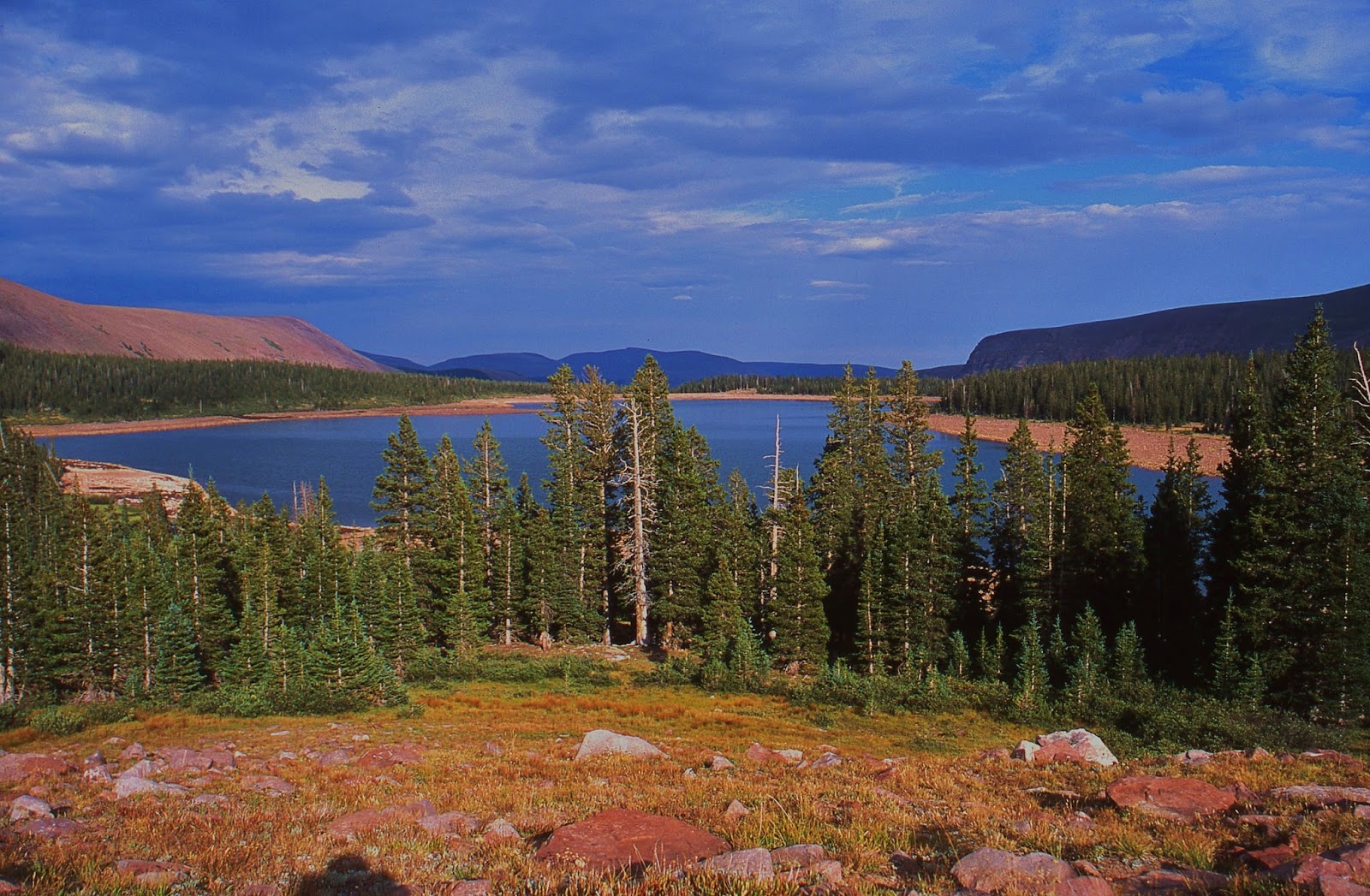
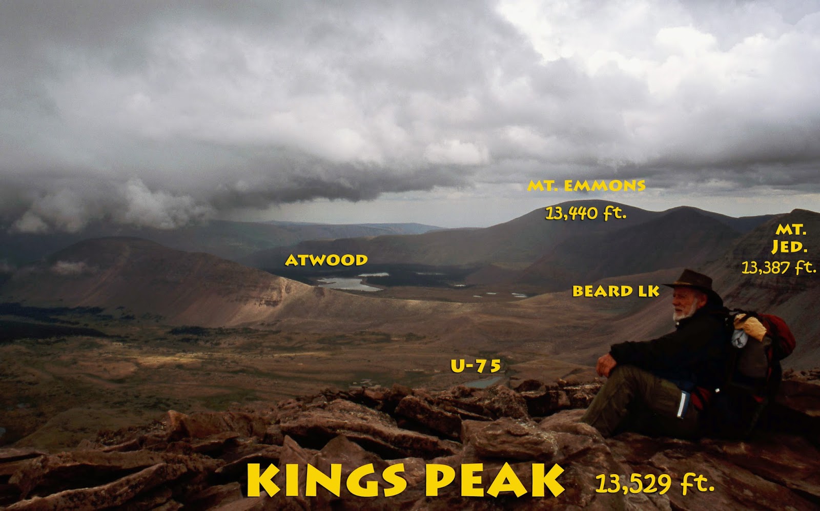
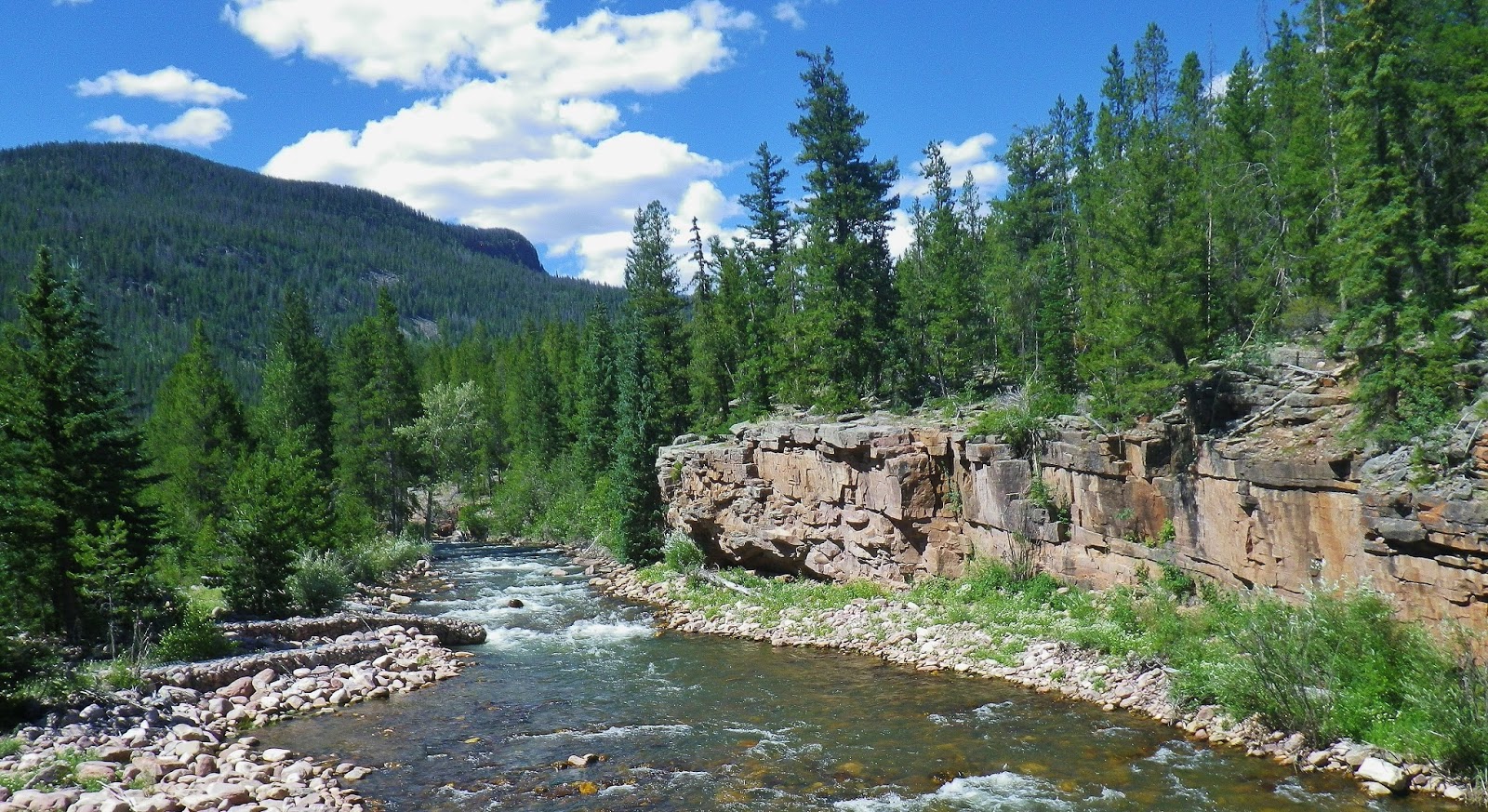
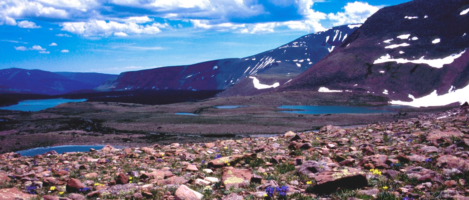
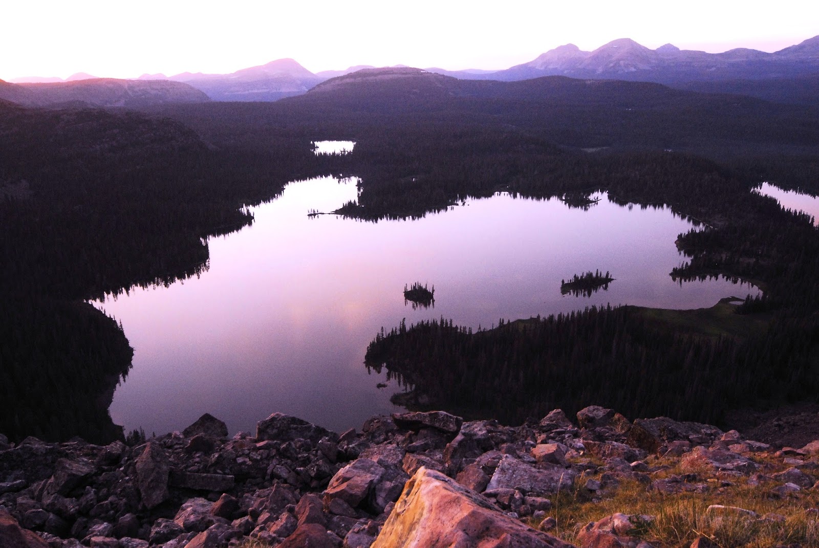
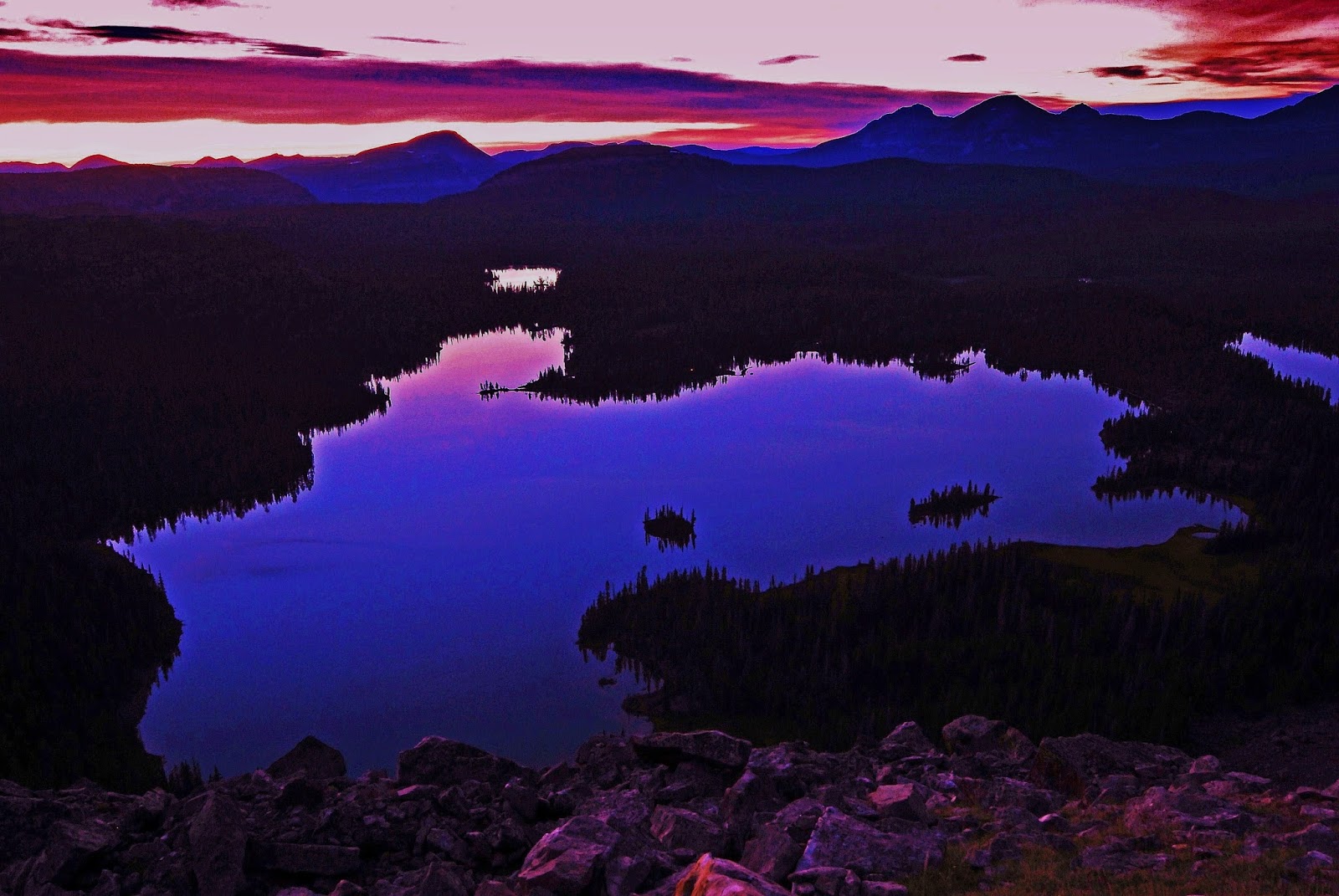
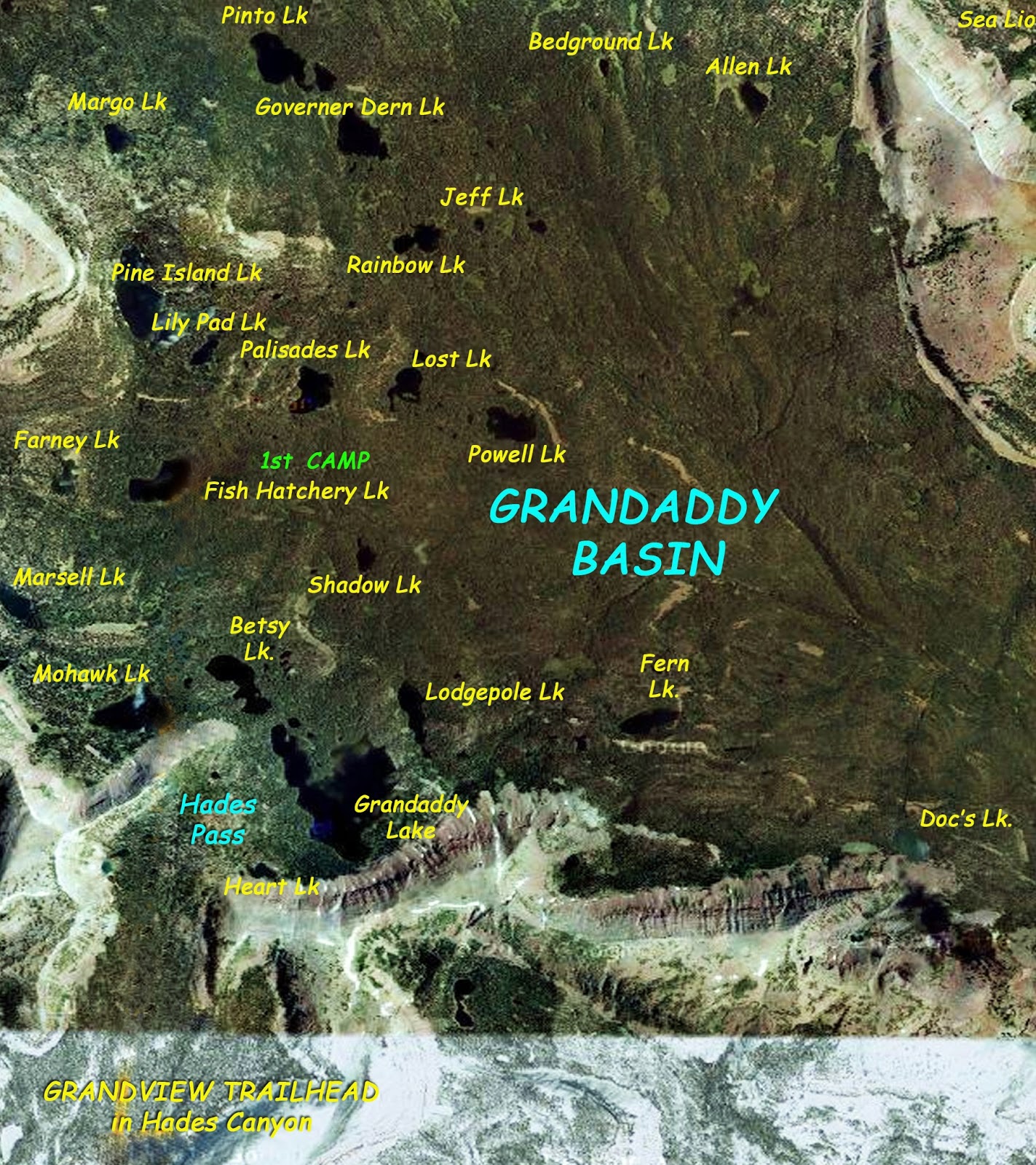
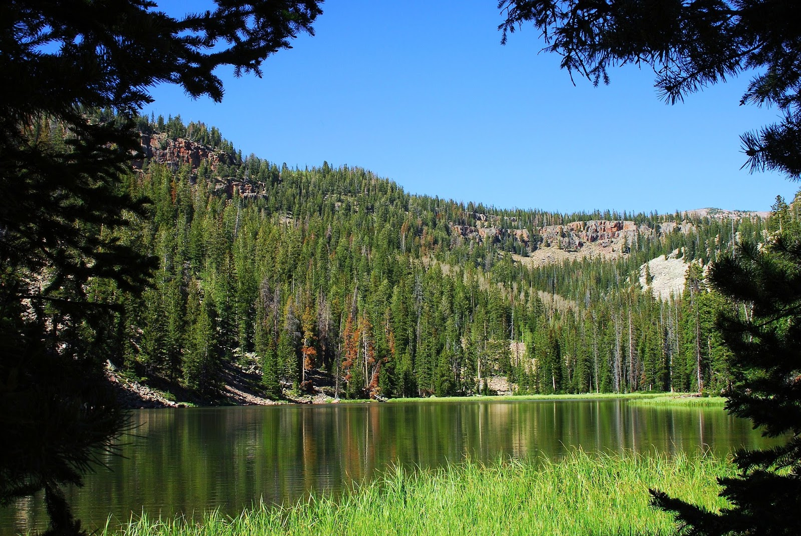
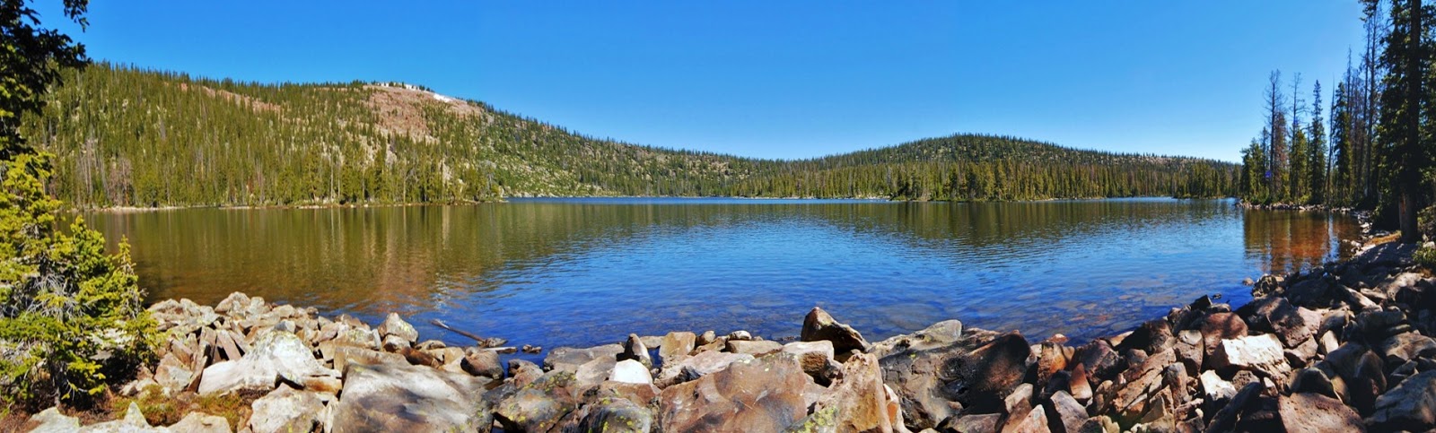
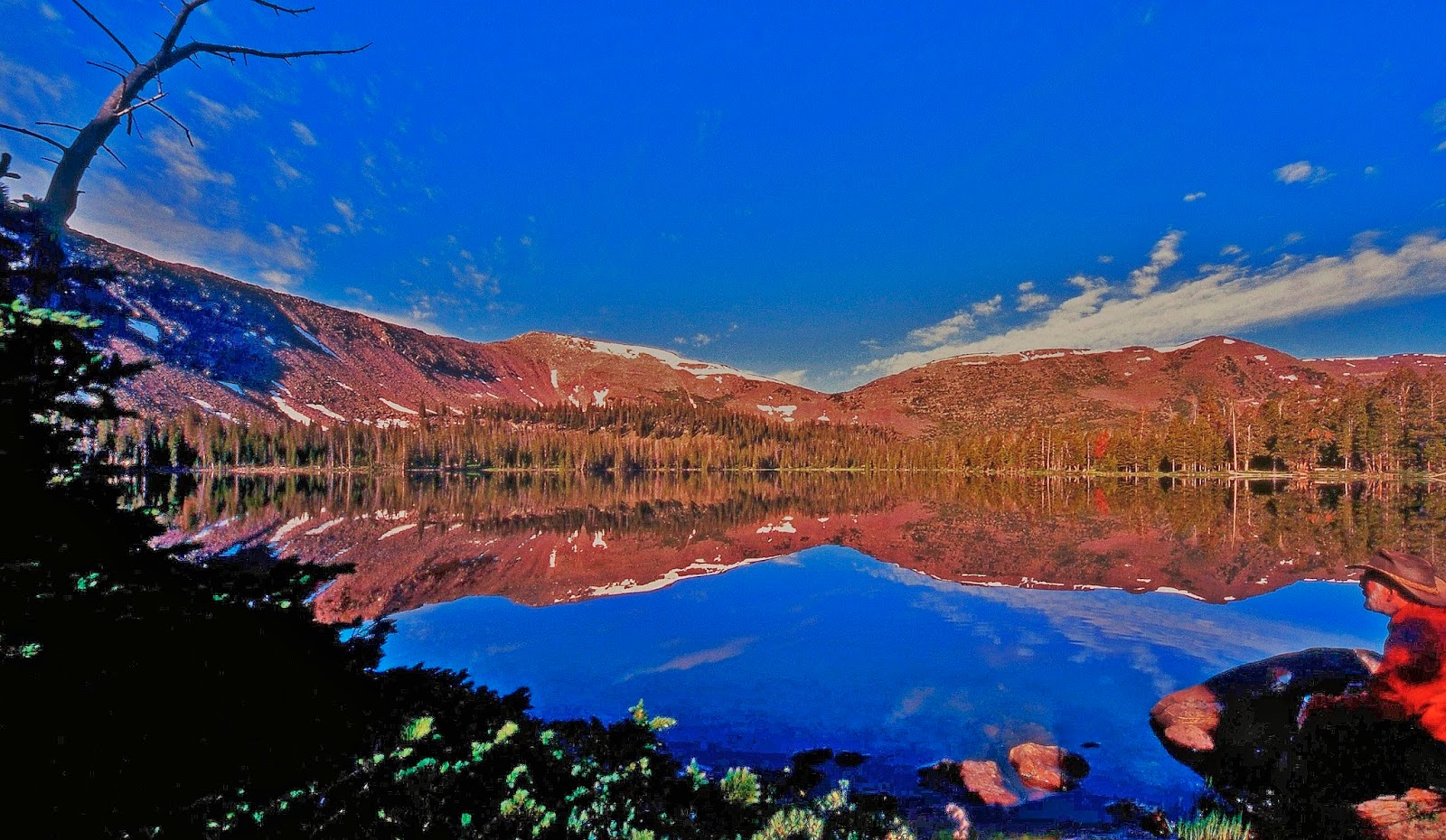
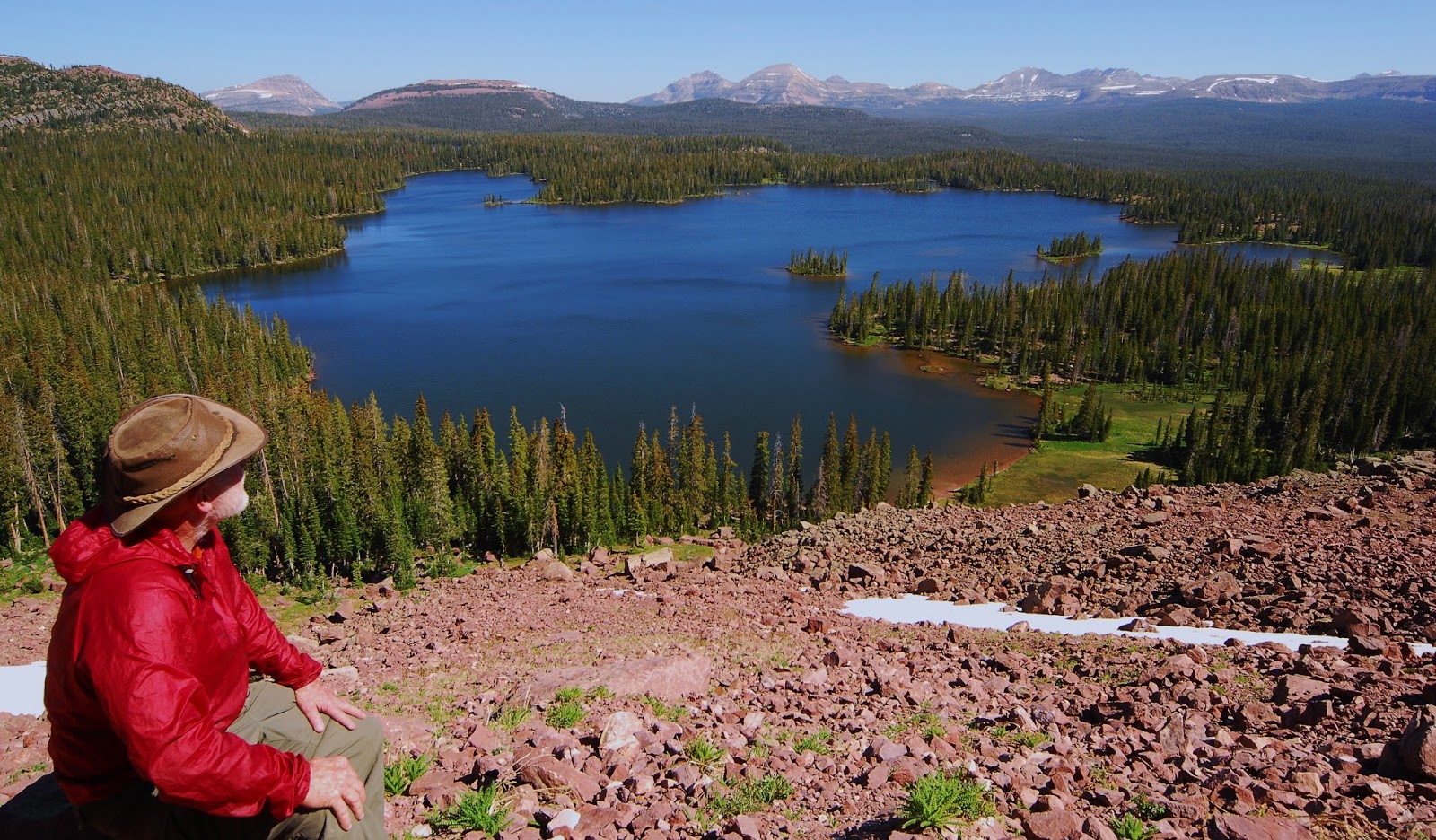
We open with the stunning view of Grandaddy Lake and Basin from the saddle of East Grandaddy Mountain.

ORIGIN OF TERM “GRANDADDY”
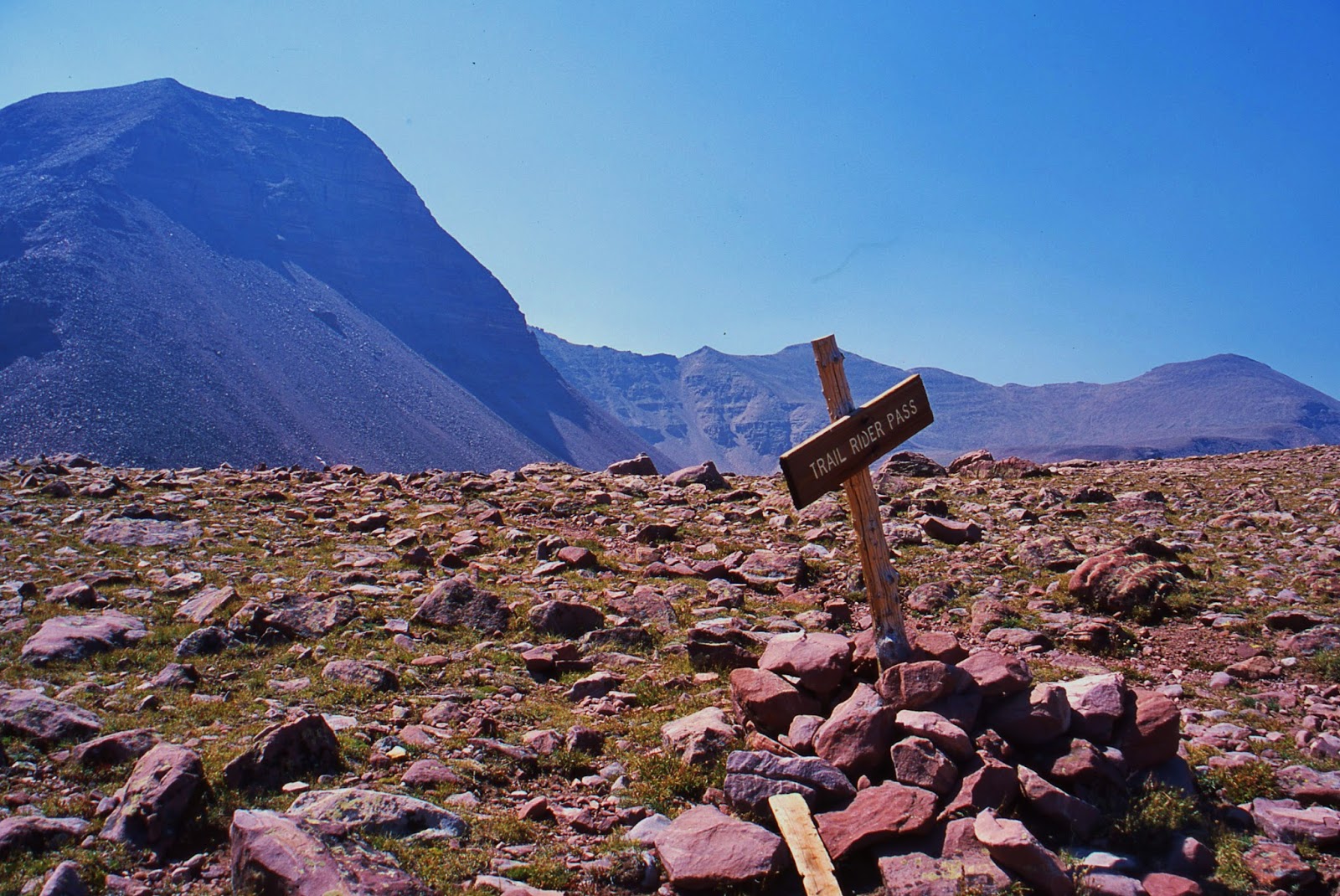
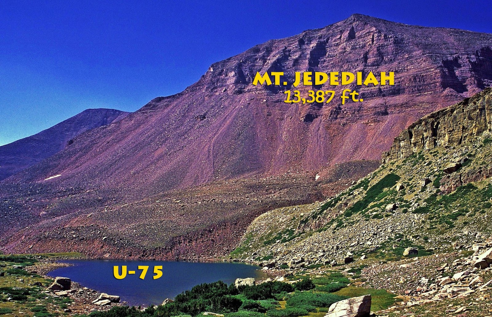
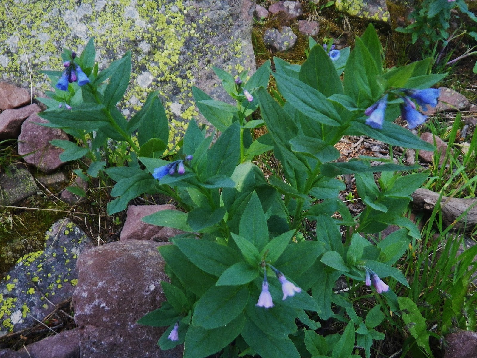
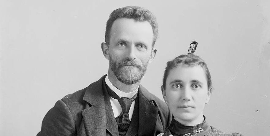
Meet George Beard and his wife Sarah Lovina Bullock Beard, from Coalville, Utah.  George loved the High Uintas and once was talking to a government surveyor, a Mr. Lloyd, telling him he knew where the largest Uinta lake was found, calling it “the GRANDADDY OF THEM ALL!”  Lloyd thought that was a good name for the Uintas largest lake, and thus we have GRANDADDY LAKE and BASIN, named by this outstanding pioneer artist and photographer whose collection is found at the Harold B. Lee Library at Brigham Young University.  George also named the first 13,000+ foot mountain you see hiking to the east on the Highline Trail , calling it Mount LOVINA  after his beloved wife. 
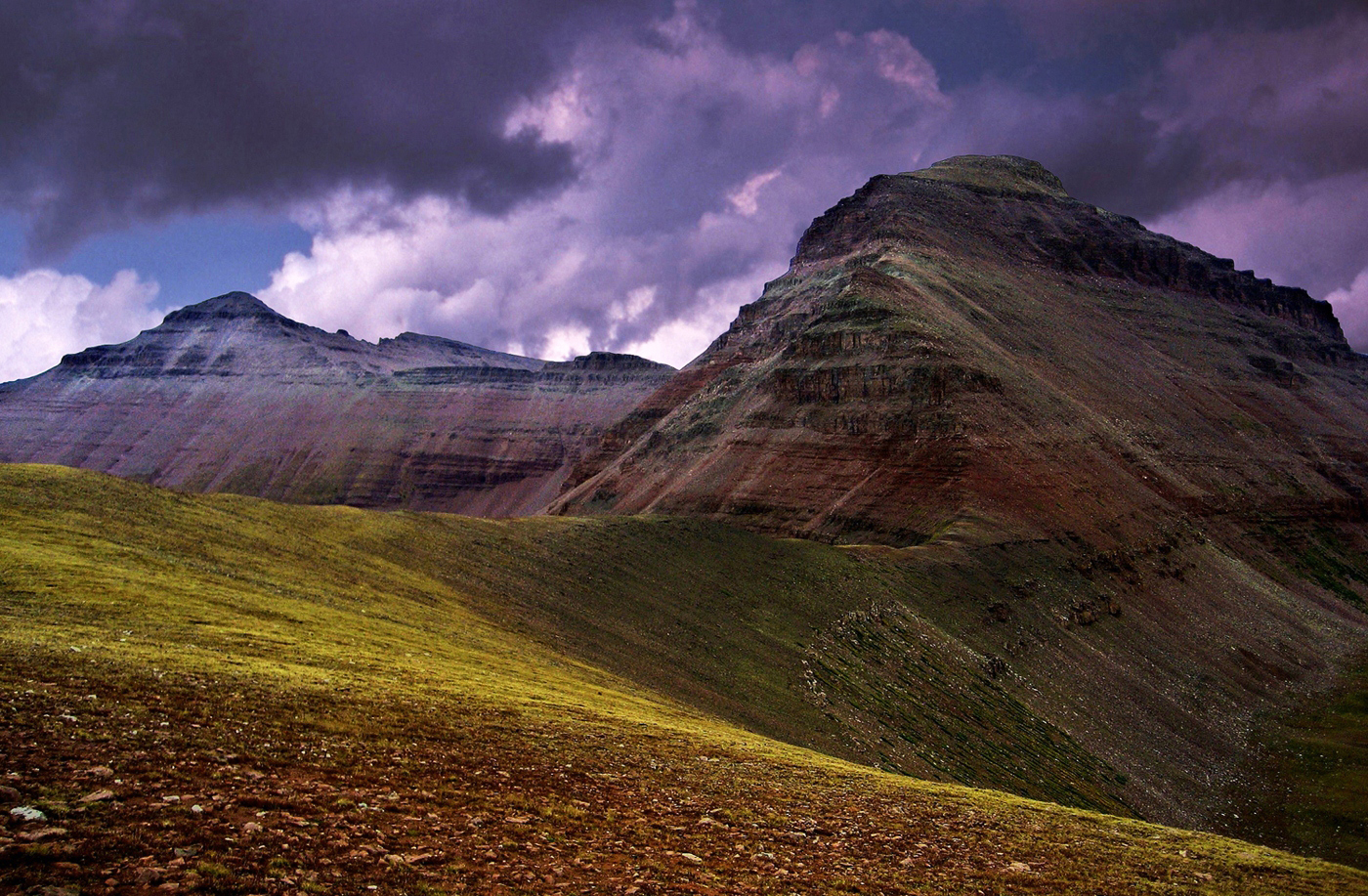
Mt. LOVINA–13,219 ft. from 12,160 ft. high East Fork Pass

George was born in England in 1855.  His family became early Mormon converts who migrated to Utah in 1869, settling in Coalville.  Among many other accomplishments, George was mayor of Coalville in 1891

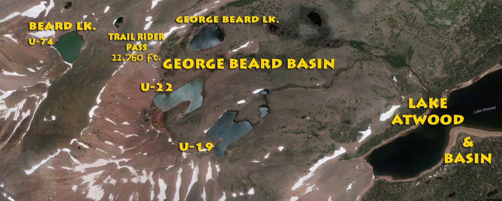
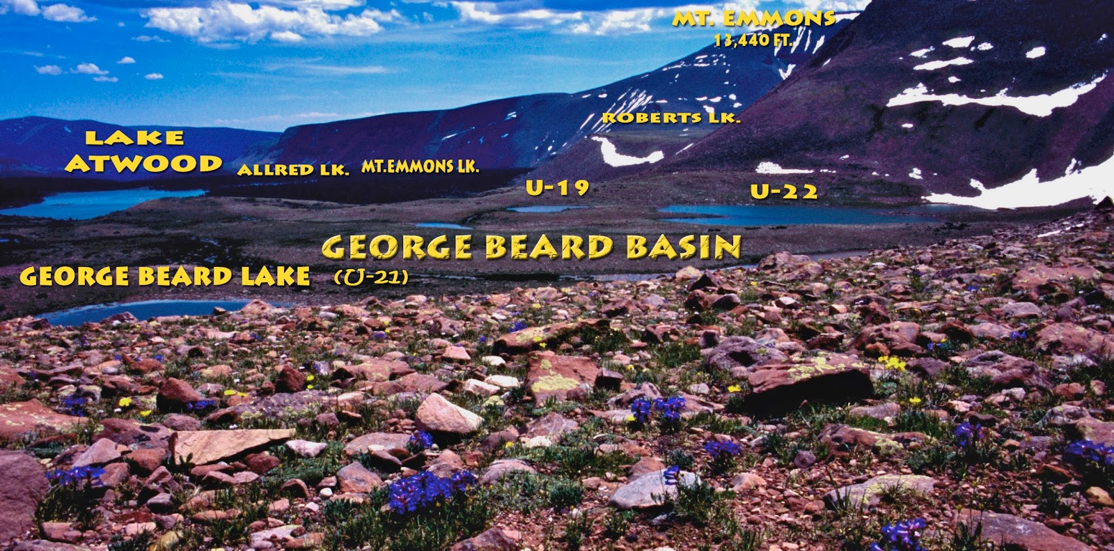
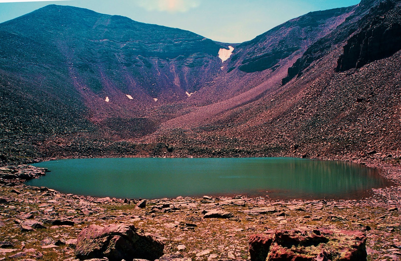
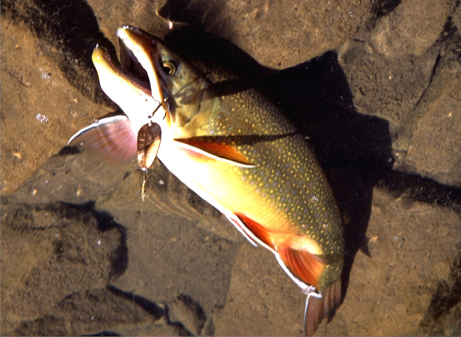
Two High Uinta lakes have been given his name.  One right on Trail Rider Pass, at the head of the Attwood drainage,  named Beard Lake where I once hooked momentarily what could have been a Utah State record Eastern brook trout.  Just below the same pass, to the east is George Beard Lake with natural reproduction of wild  brook trout where on my 2003 “Expedition” I had the fastest fishing of my 27 day backpack  catching and releasing 15 sassy brookies, in 20 casts.  I have named that basin the GEORGE BEARD BASIN, pictured along with the record brookie in my recent post

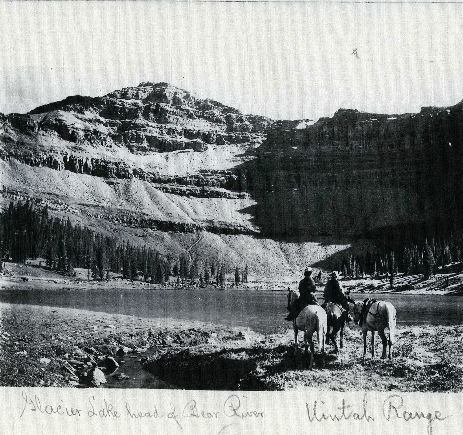
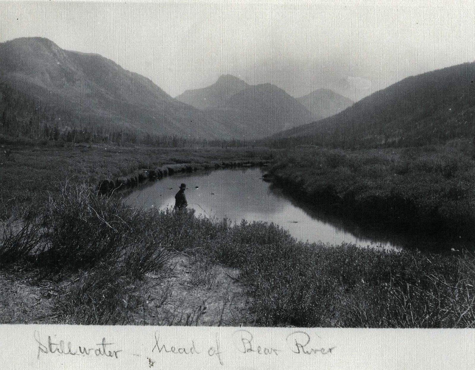
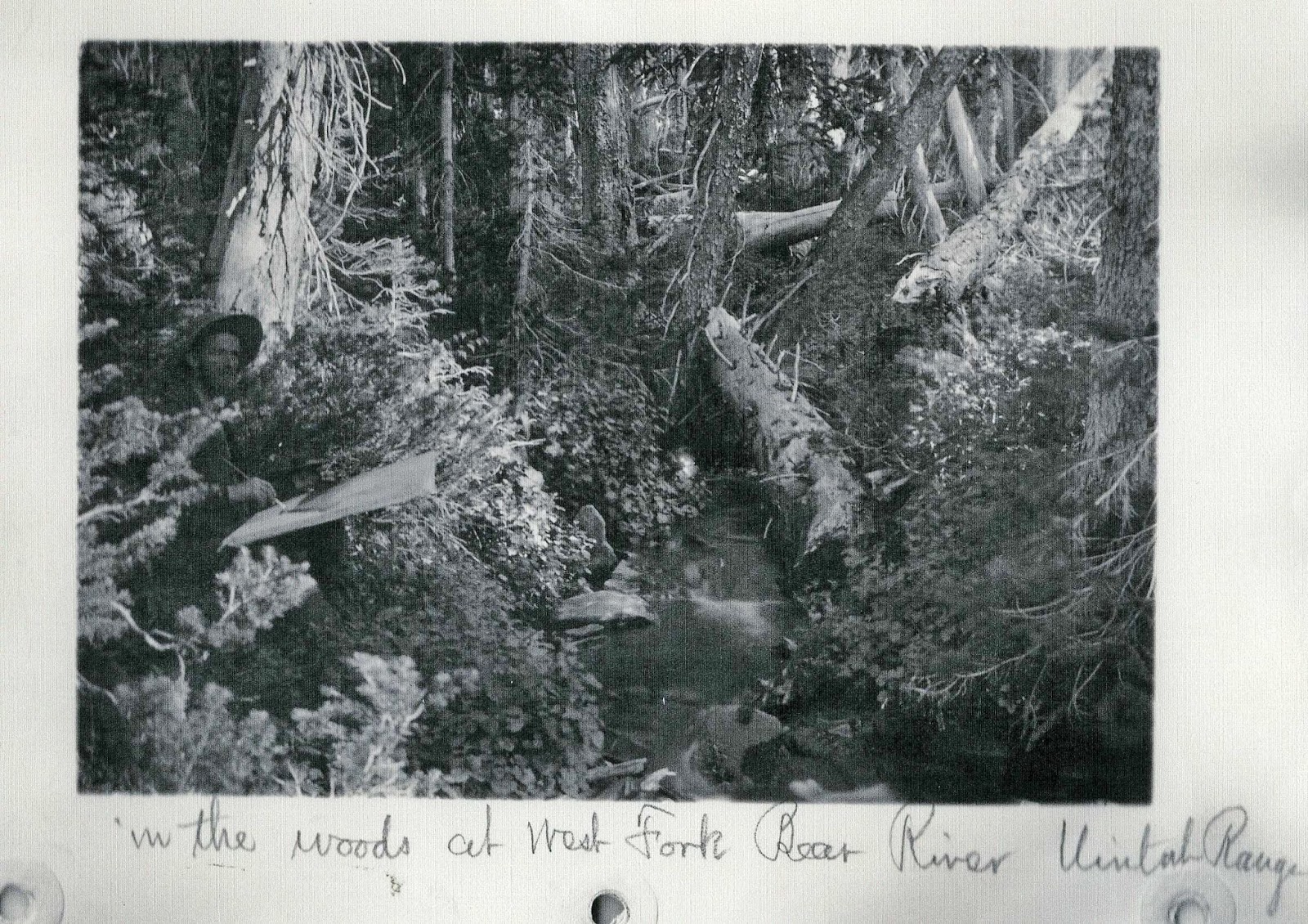
NOTE:  A couple of years ago when giving a speech in Evanston, Wyoming I met one of George Beard’s great grandsons, Shawn Moore, and spent some time with him at his property along the Bear River in the Uintas.  He graciously gave me a few of George Beard’s photographs (from the collection at the BYU Library…which I insert below  since we are talking about him and his love of the Uintas.

 You’ll notice he called this “Glacier Lake” which today is ALLSOP Lake at the head of the East Fork of the Bear River.  We notice his wife Sarah Lovina with him as often was the case.

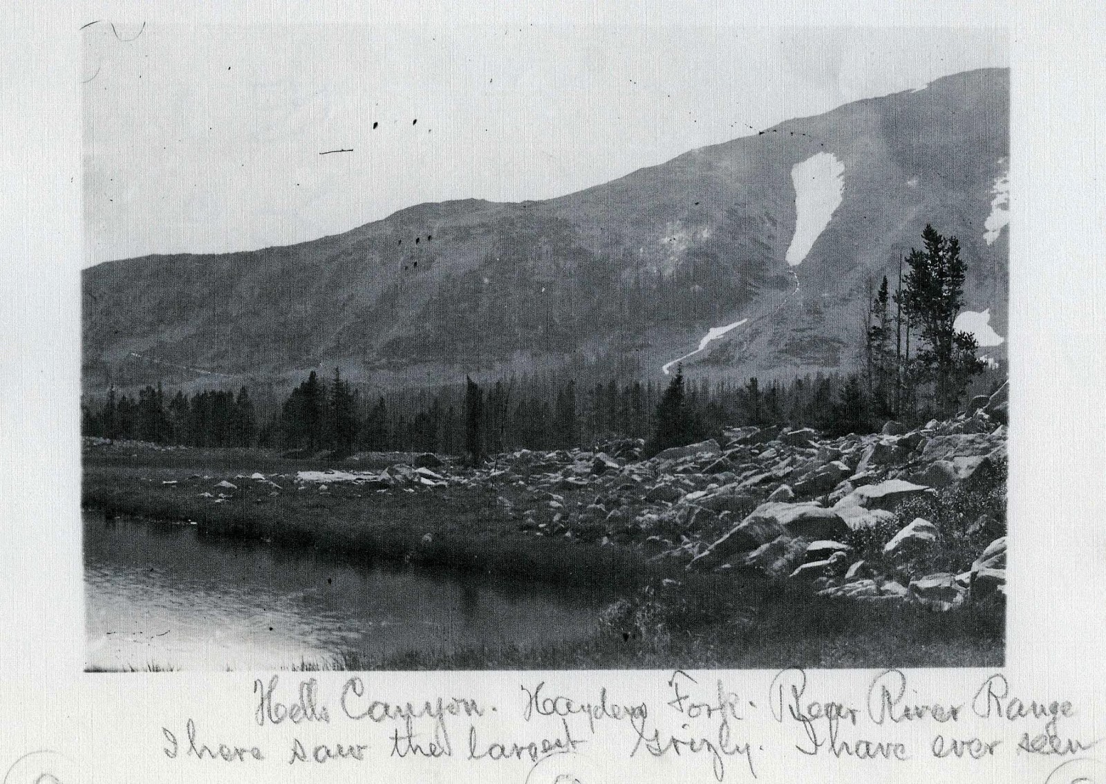
 The above photograph is not inserted because of its quality, rather because of the notation about “a Grizly”  

This is a photograph of what today we call Christmas Meadows with Ostler Peak seen in the background 

If you look carefully you can see George in the shadows of the above photograph painting the scene.

Now back to THE GRANDADDIES
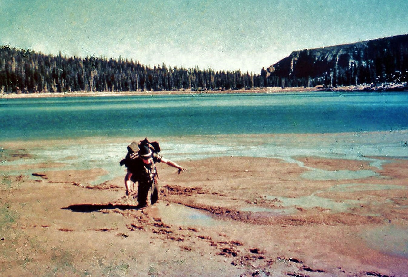
I started this photographic essay with the spectacular view of Grandaddy Lake, you see me enjoying above in a point-and-shoot camera shot taken by my daughter, Mahana, when we camped on the saddle on my third trip up there climbing up from the headwaters of South Rock Creek on the south side.

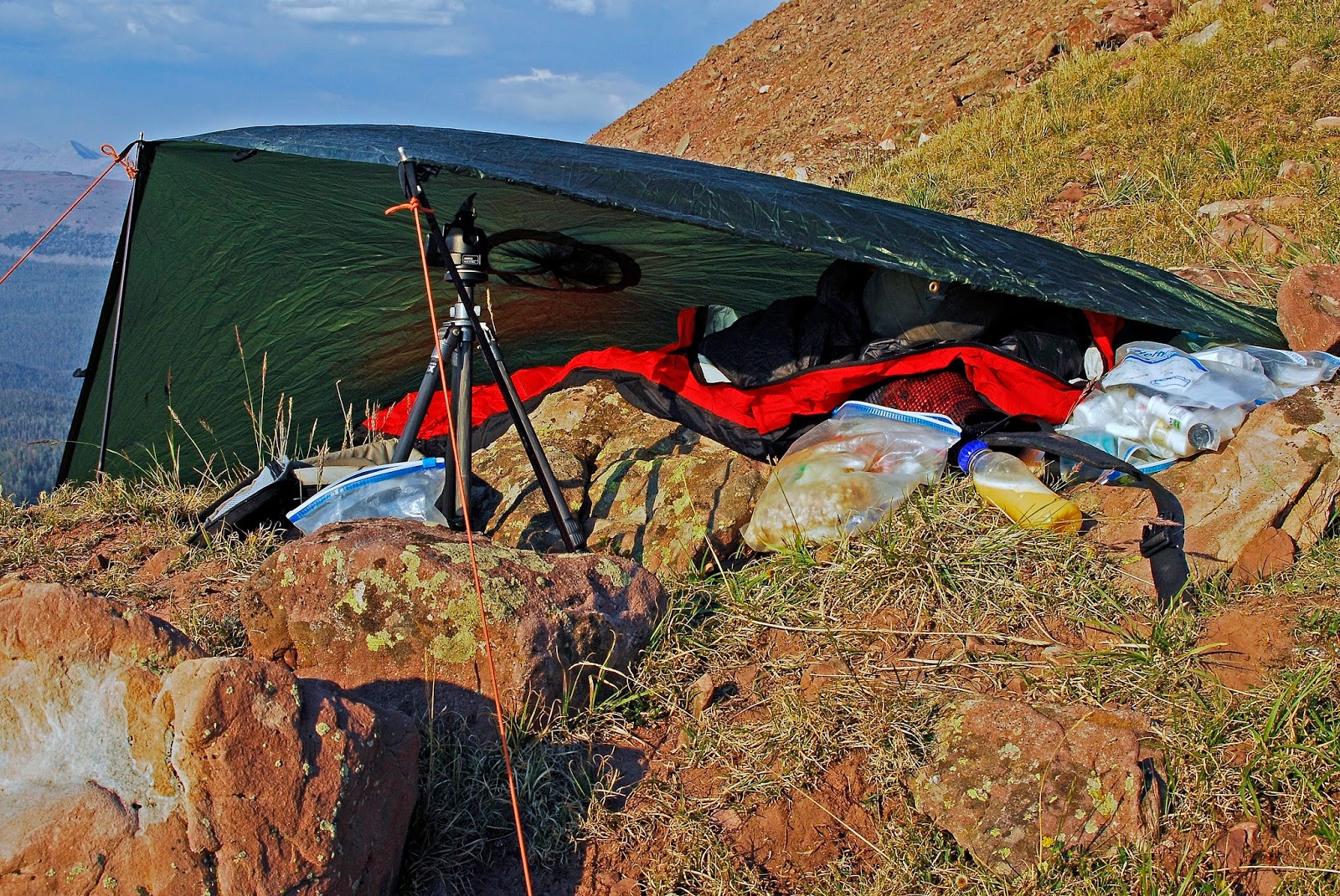
Below from the north we look over Grandaddy Lake at  East Grandaddy Mountain with the yellow arrow pin-pointing the spot where I set up my bivouac camp. 


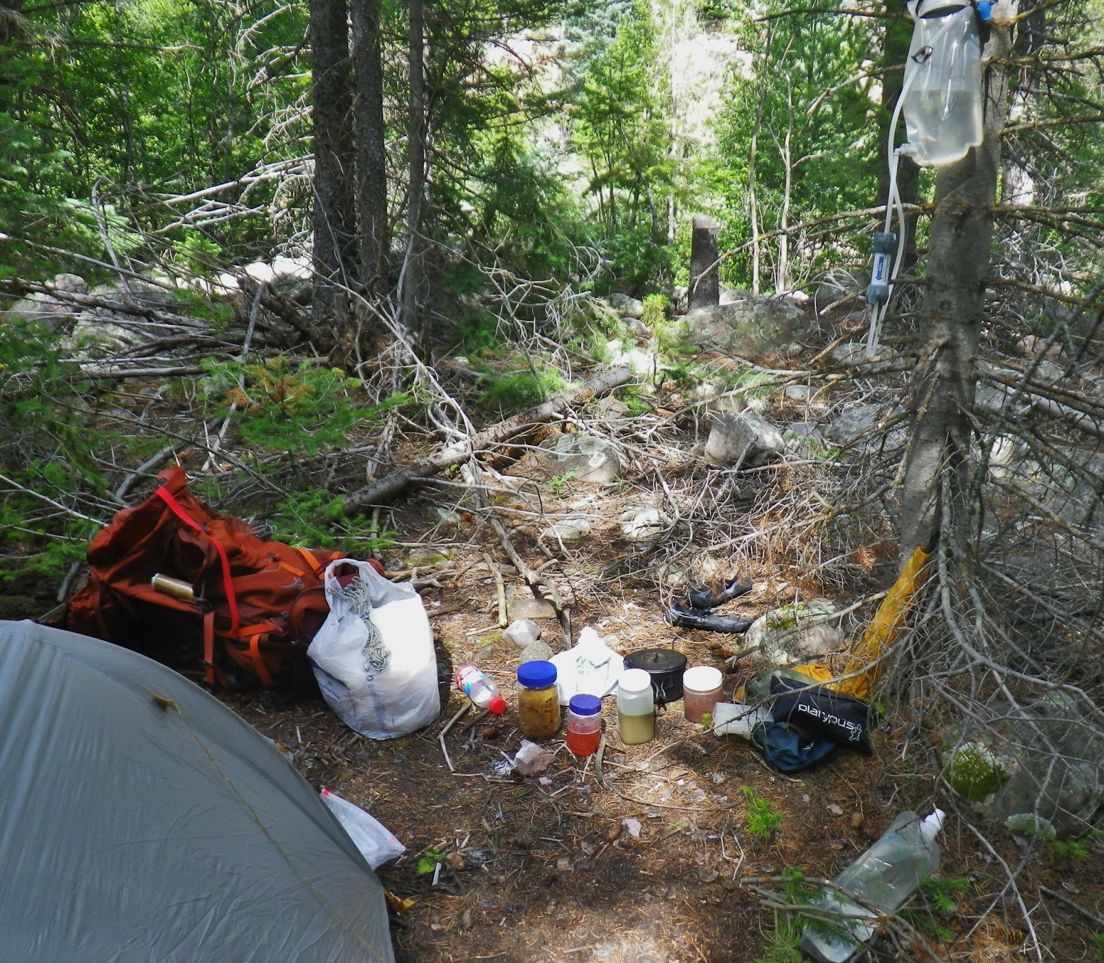
No level ground was available so I had to build my own “INTELIGEL BED”…….
NOTE:  When I was doing this I was listening to KSL radio and Doug Wright doing a commercial about so many with sleep problems, his solution of course being “The Inteligel Bed”….. which wasn’t exactly available at my tough spot, so I BUILT MY OWN you see above!

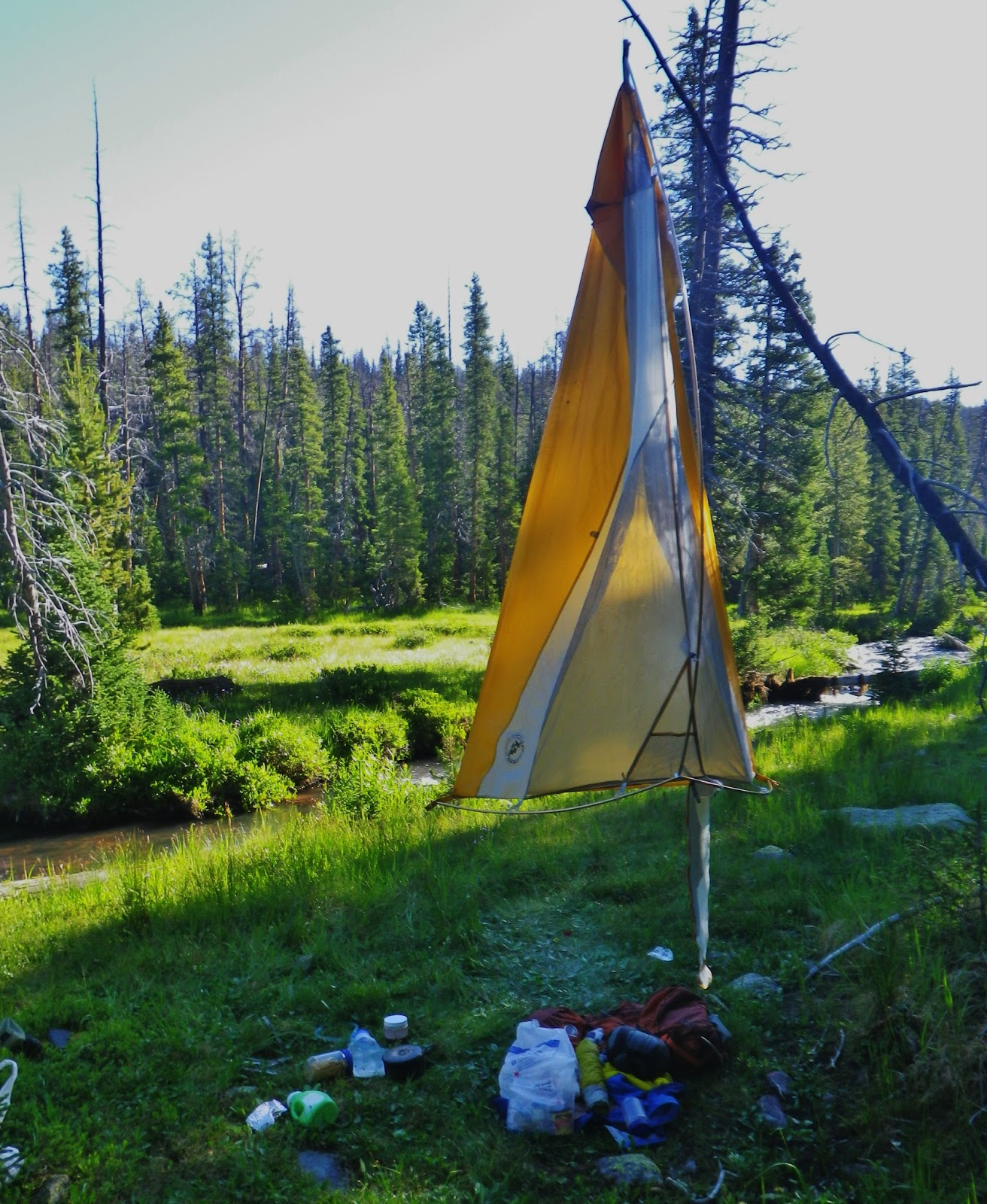
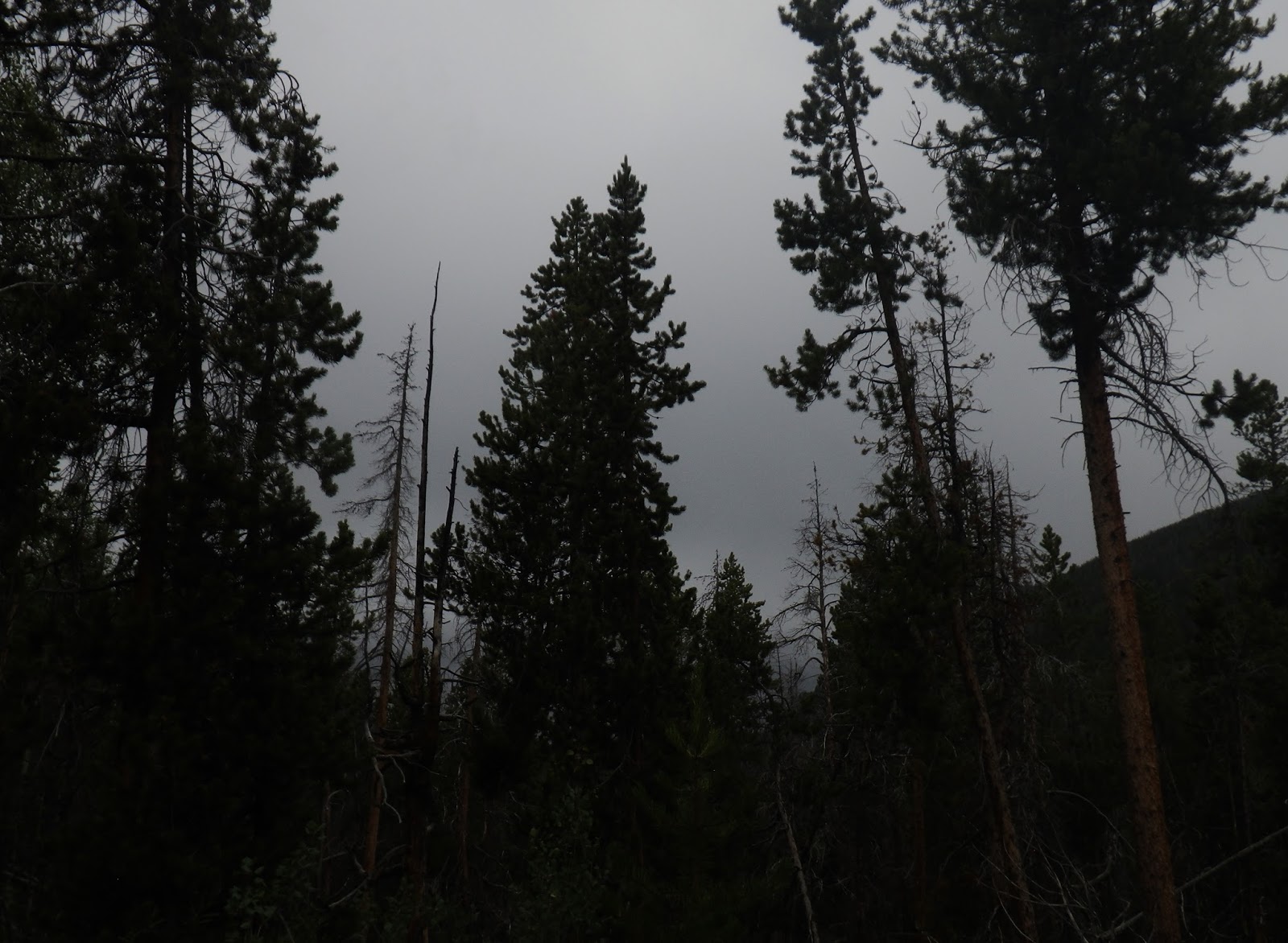
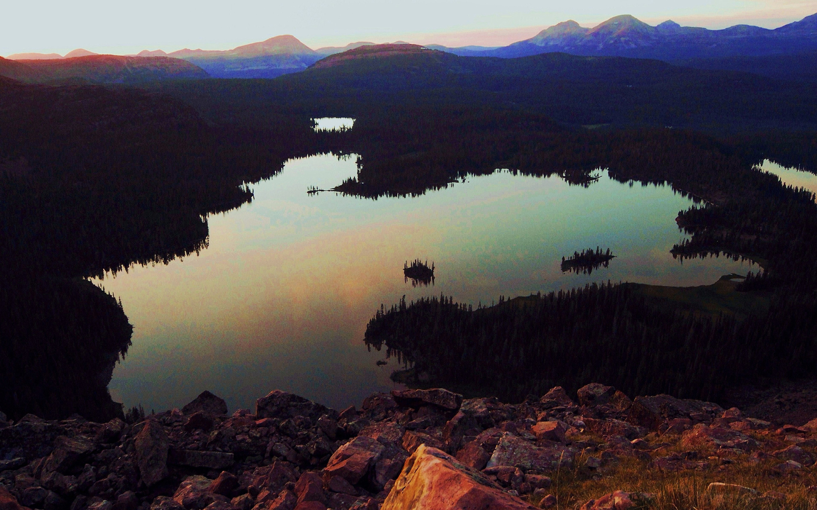
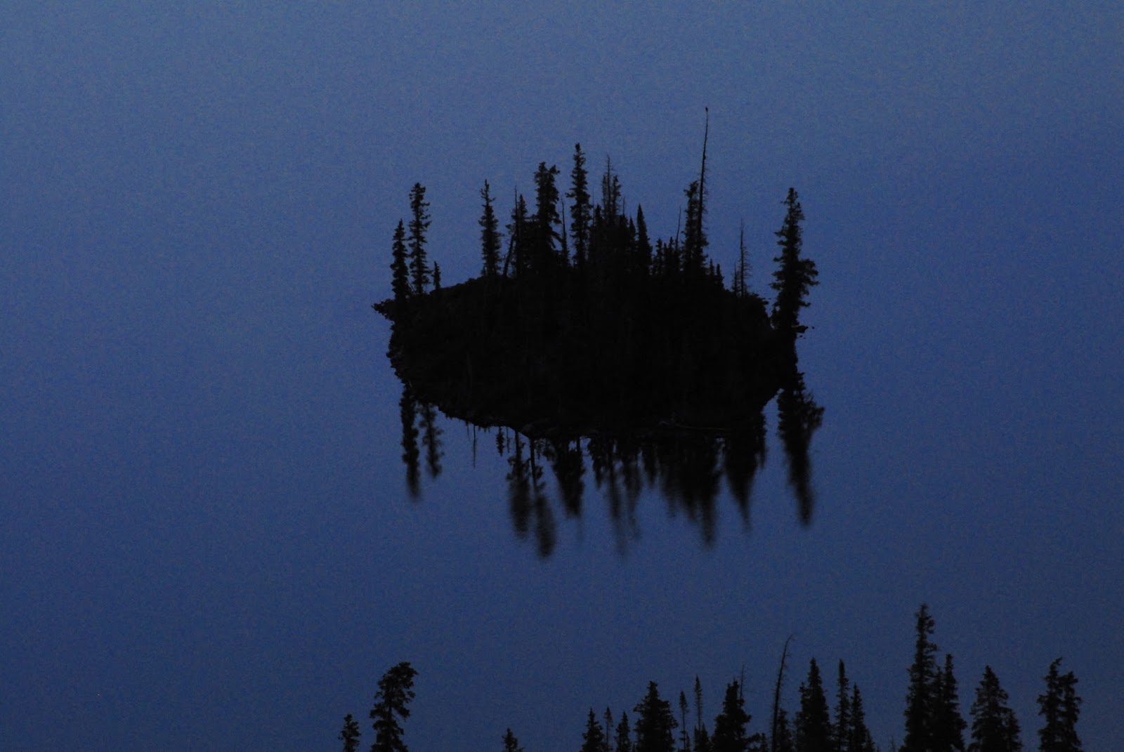
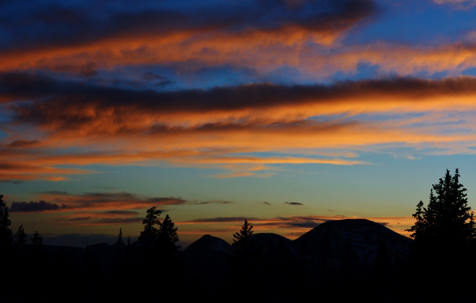
….with my poncho lean-to pitched over it to get a series of photographs from late afternoon until early morning as you see below….first smoky due to forest fires to the north in Wyoming, then it began clearing…..


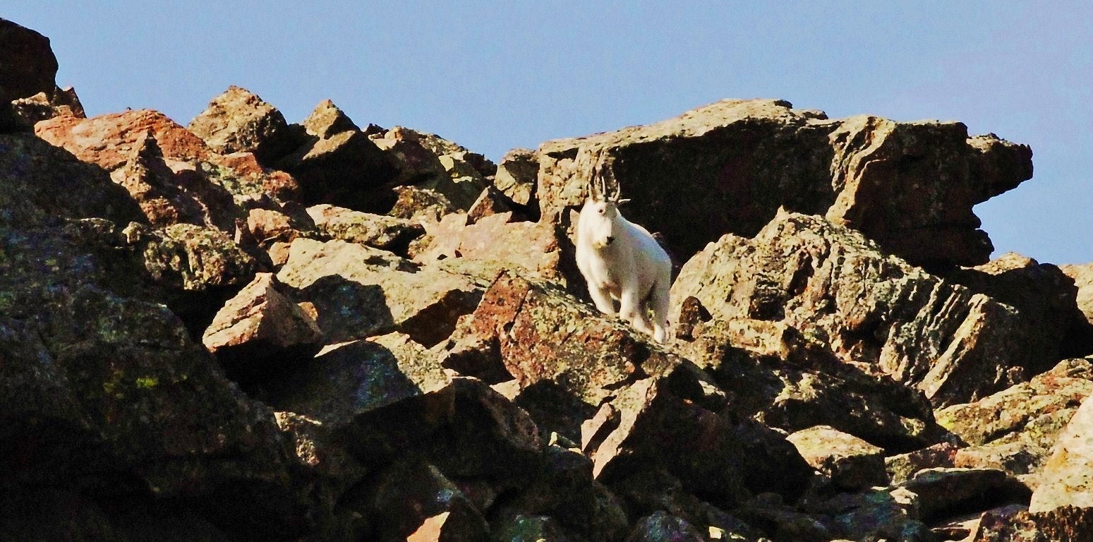
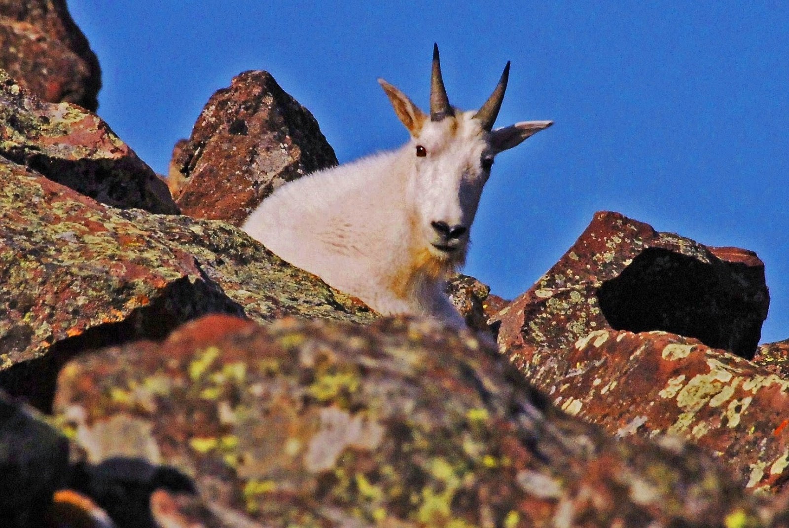
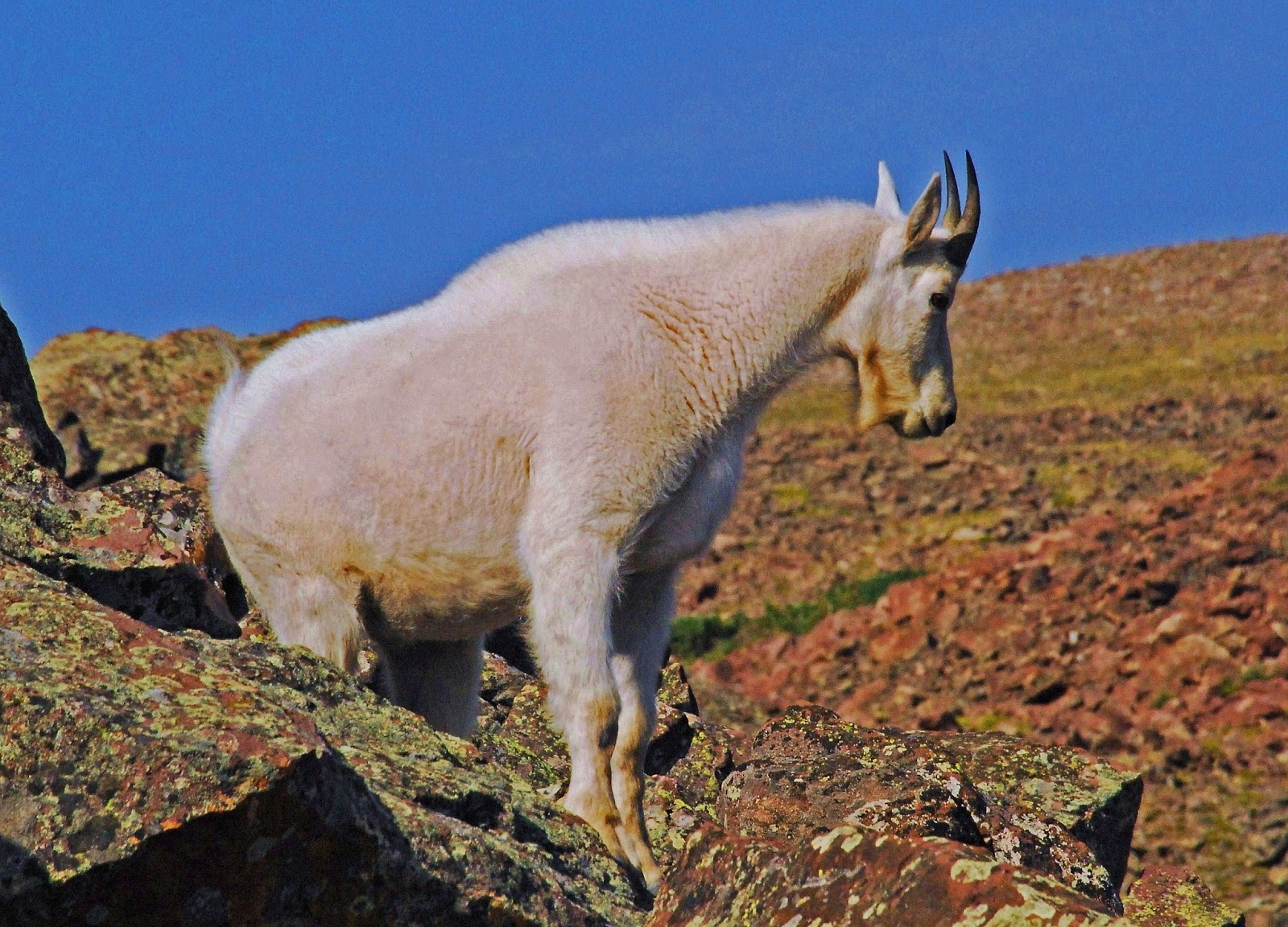
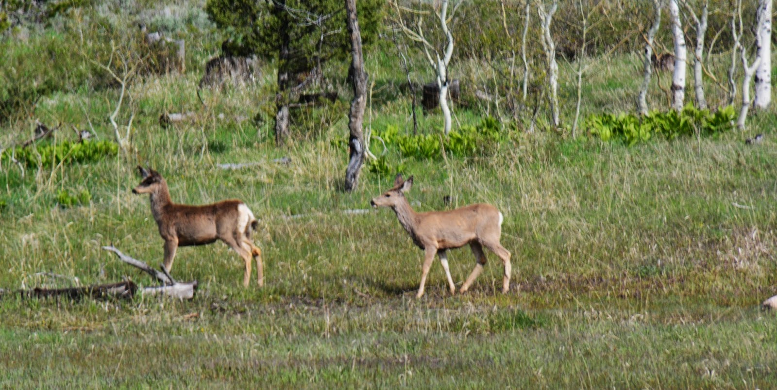
I was fortunate on that trip to also photograph a series of pictures of a young Rocky Mountain Goat.


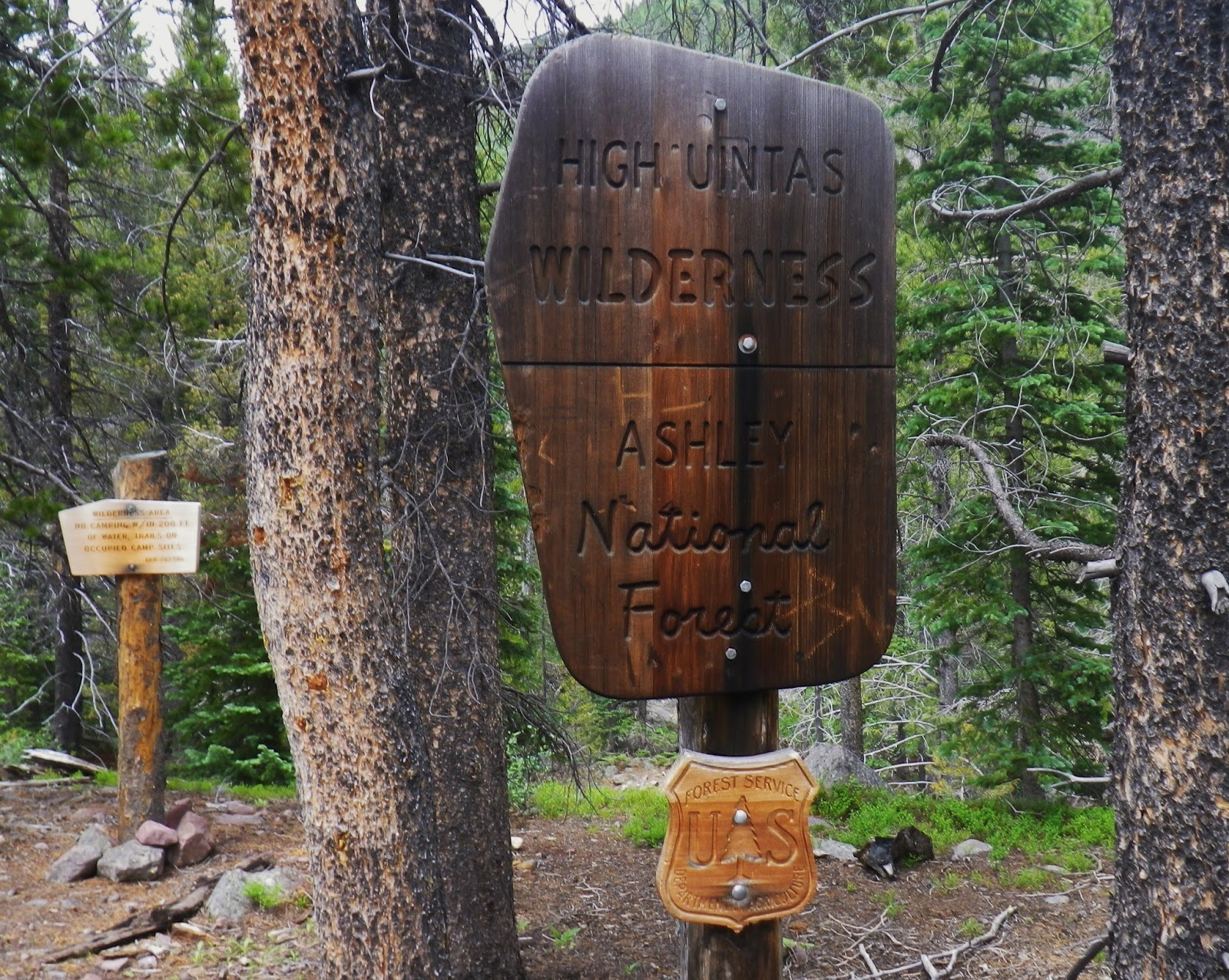
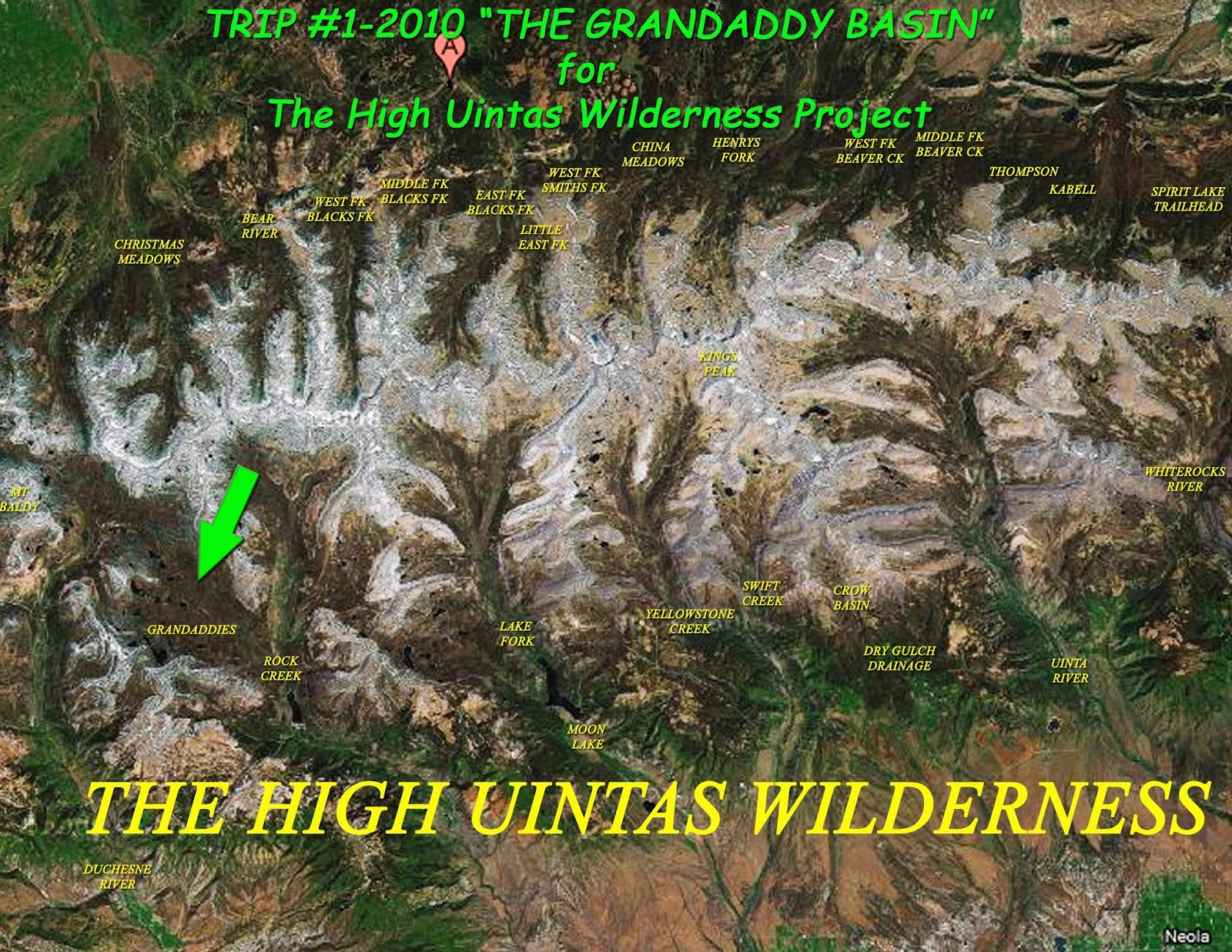
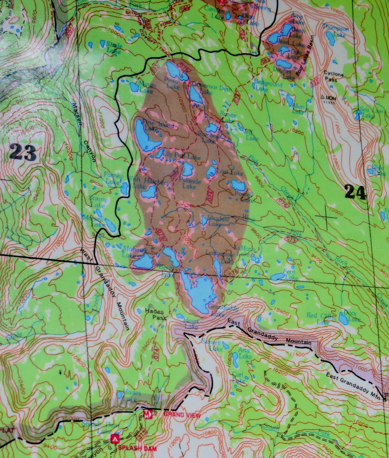
This photo/essay, we could call a documentary, deals with Utah’s largest Wilderness area we see above, but specifically the GRANDADDY BASIN located in the southwestern portion of the area. 


We will visit briefly all 24 of the named lakes that the Division of Wildlife Resources considers serious fisheries that have been labeled in the Google Earth view above…except Jeff Lake with no fish, and another not included on the map, La Marla Lake.


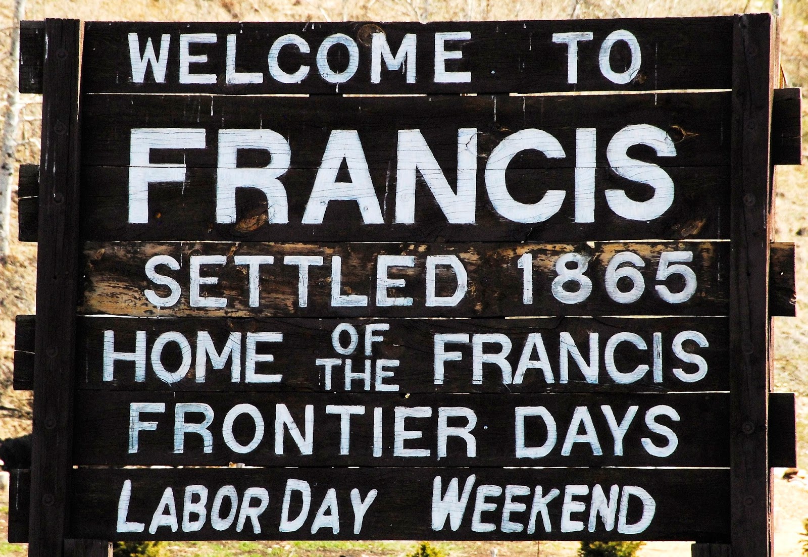
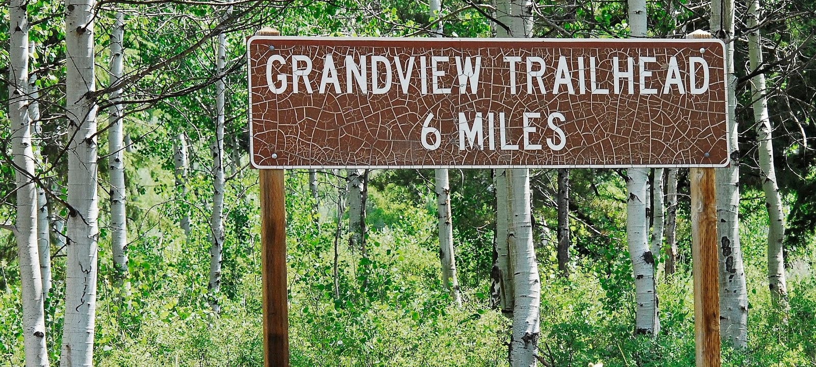
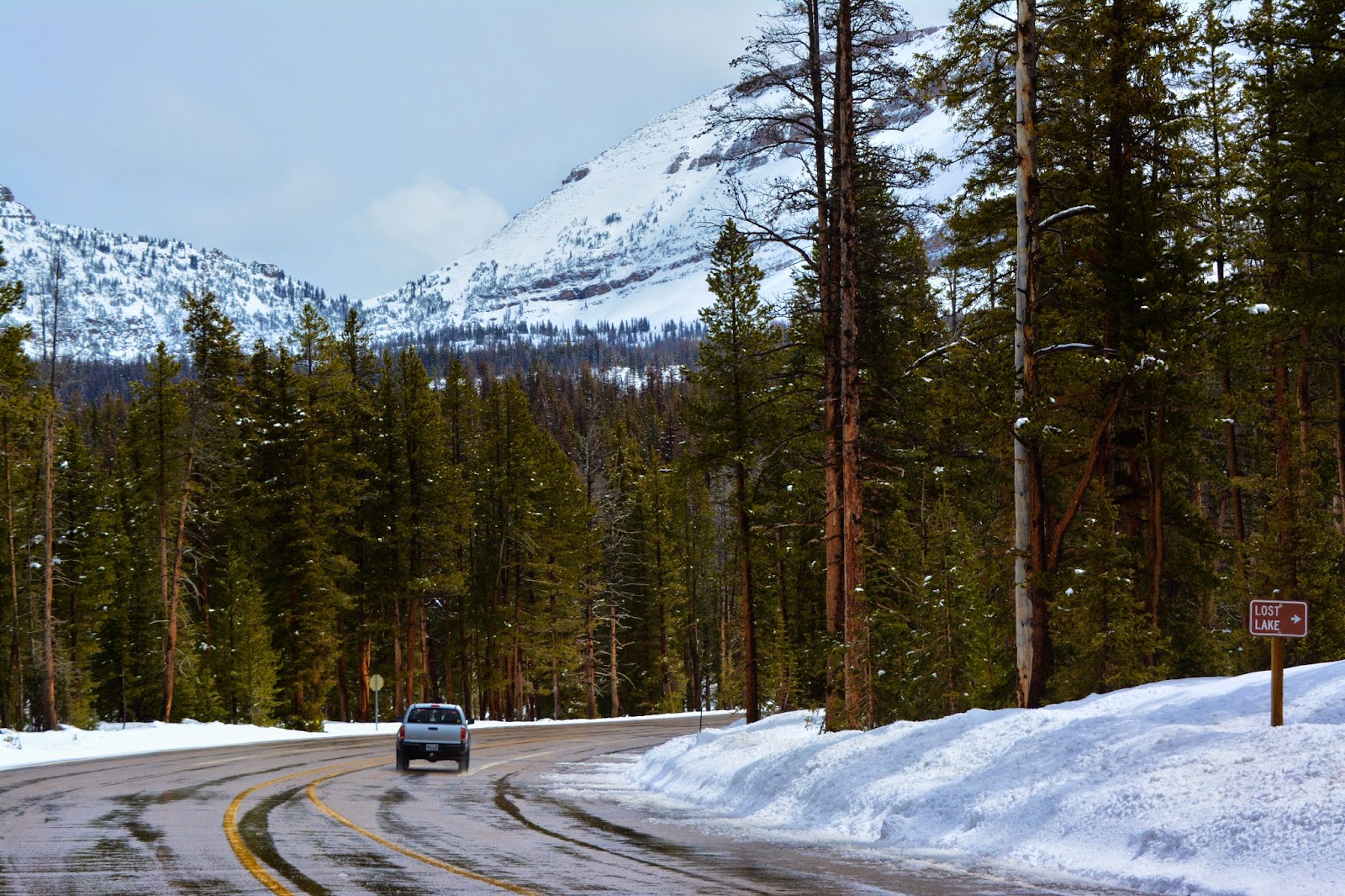
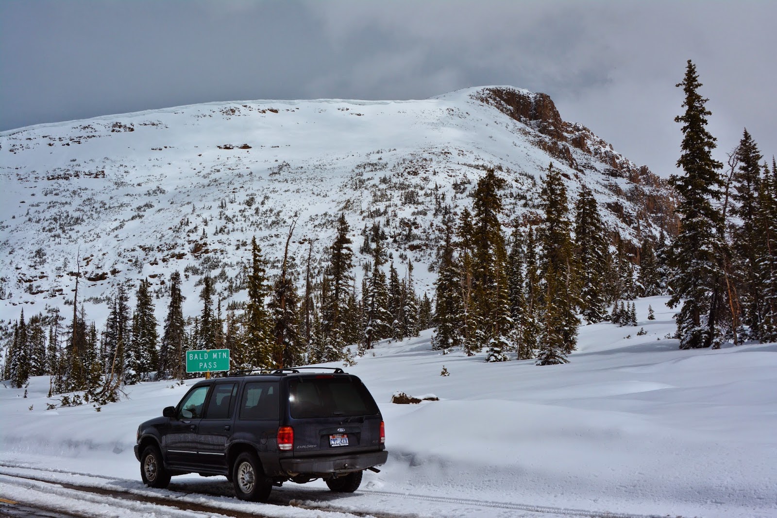
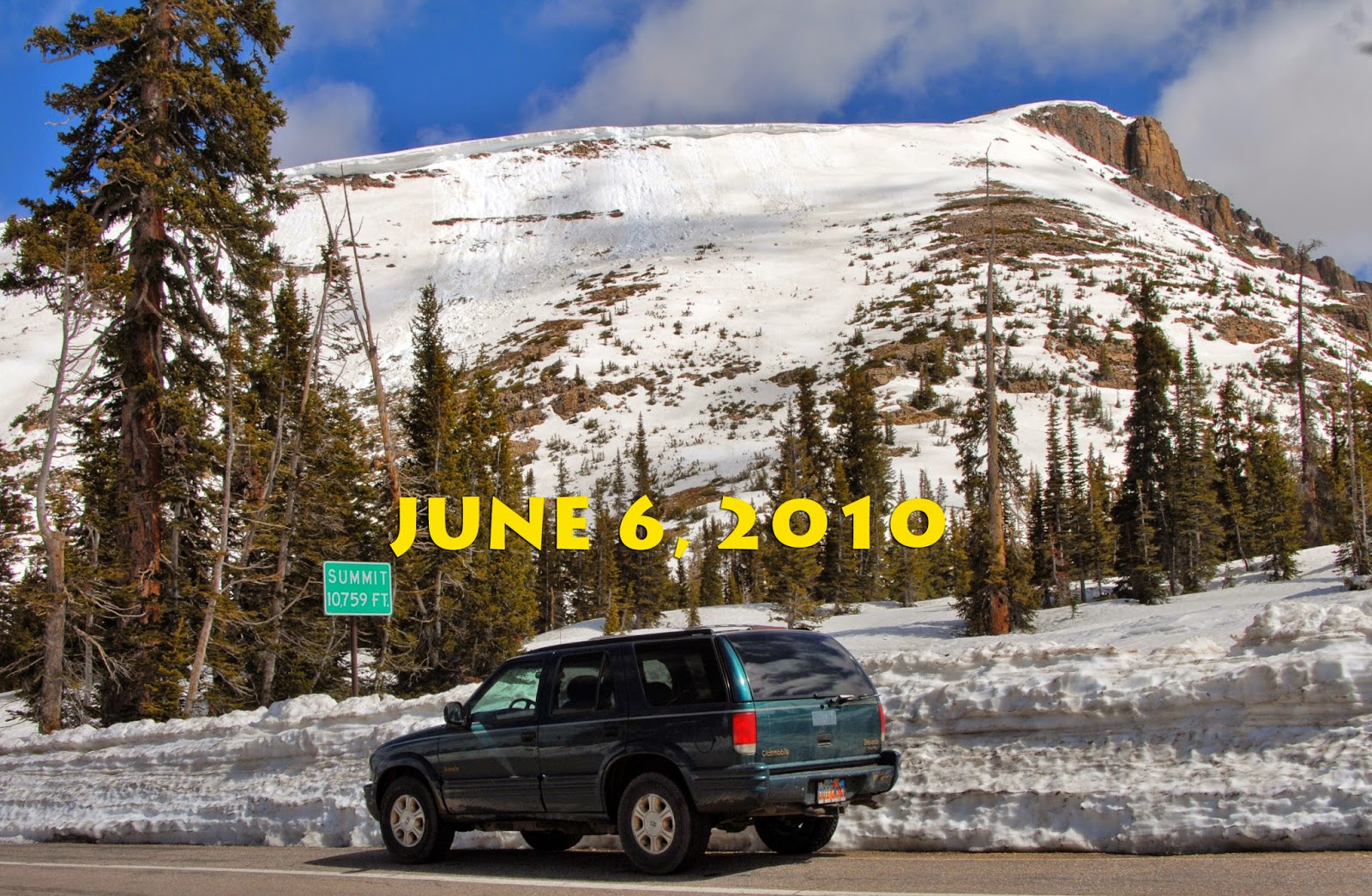
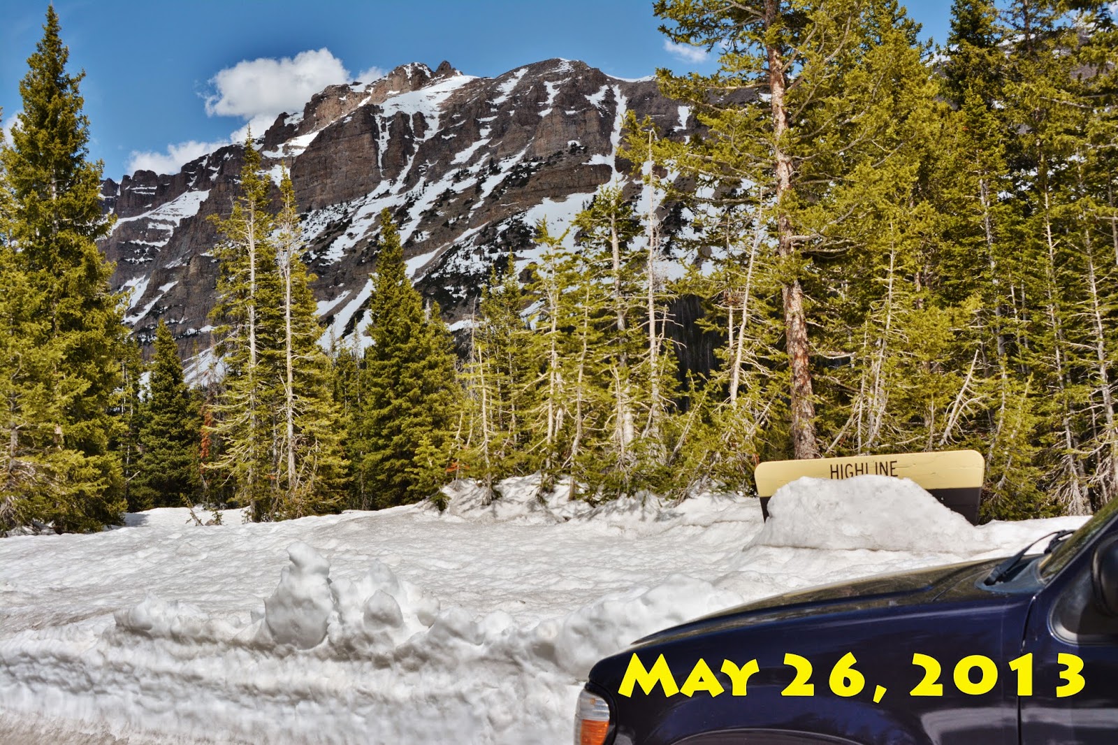
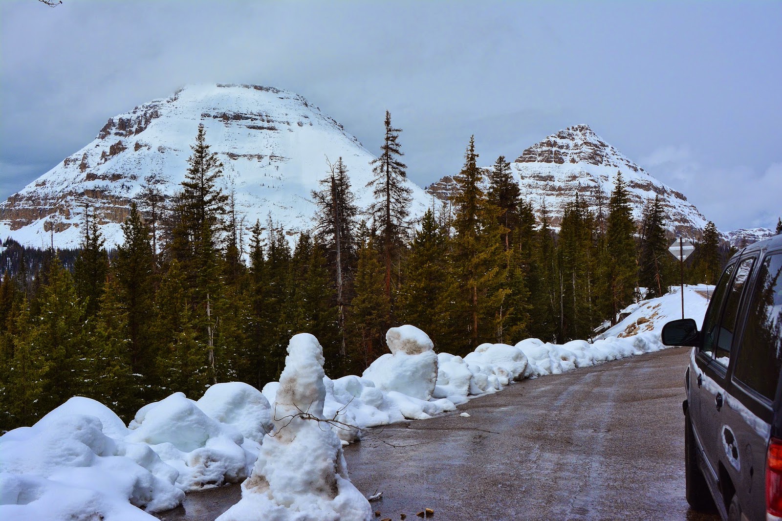
To get to the Grandview Trailhead, the “Gateway to the Grandaddies,” go to  Francis from the Wasatch front by going through Heber, or to Kamas and go 2 miles south.  At Francis you go east towards Woodland.


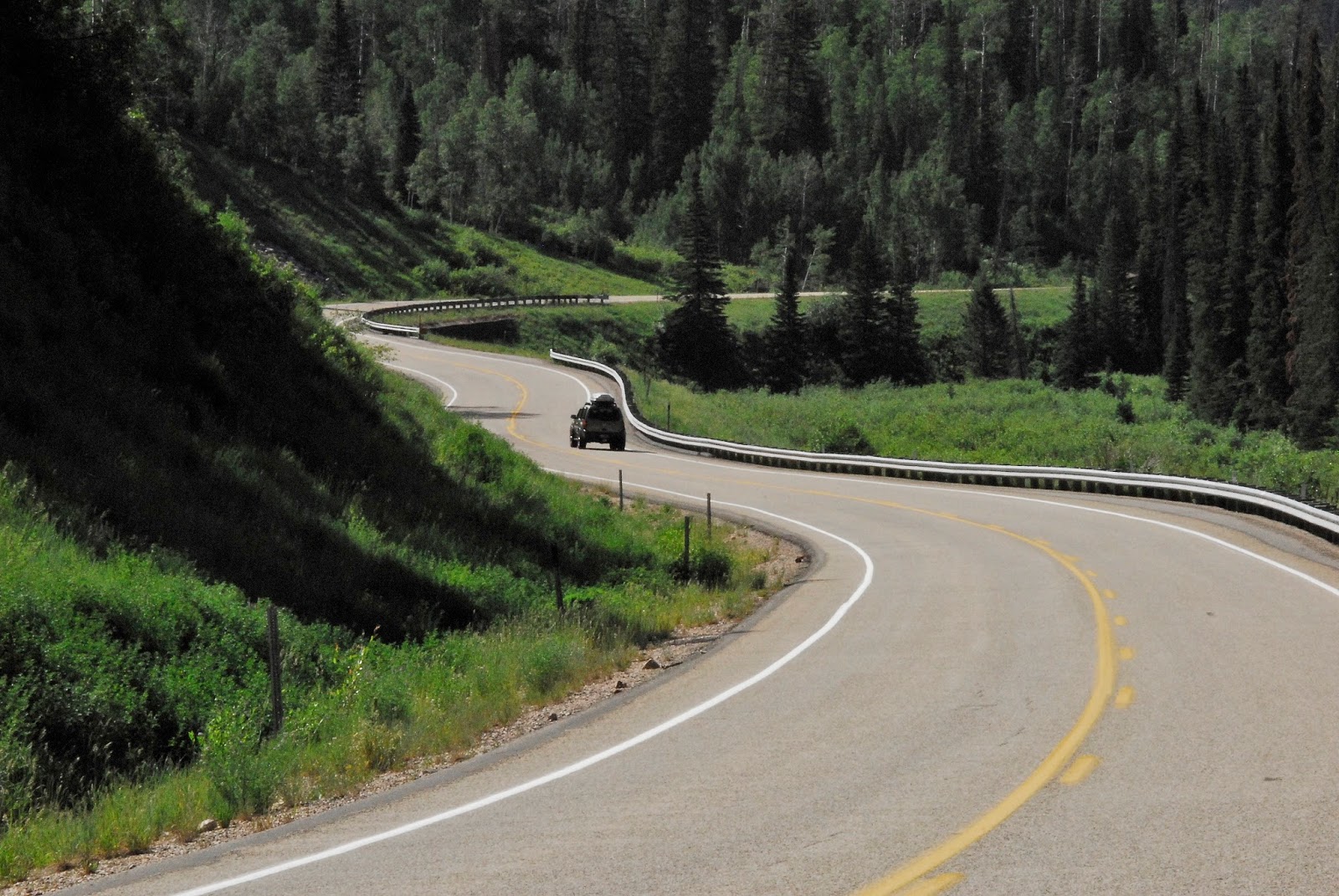
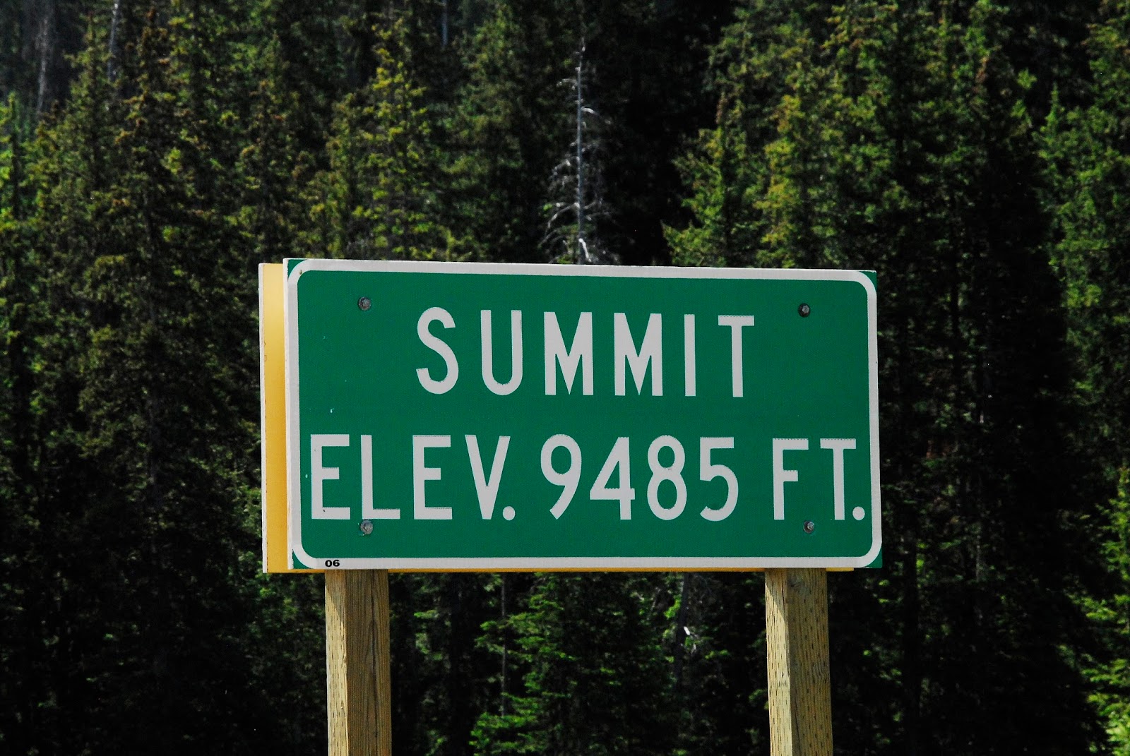
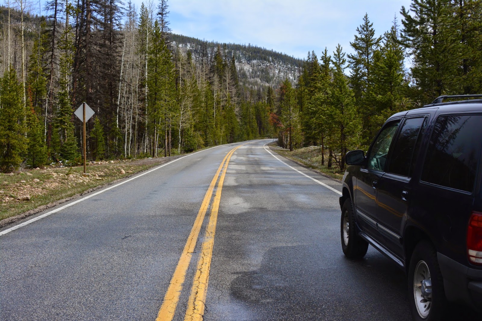
Following Utah Highway 35 up over Wolf Creek Pass.


Wolf Creek Pass.


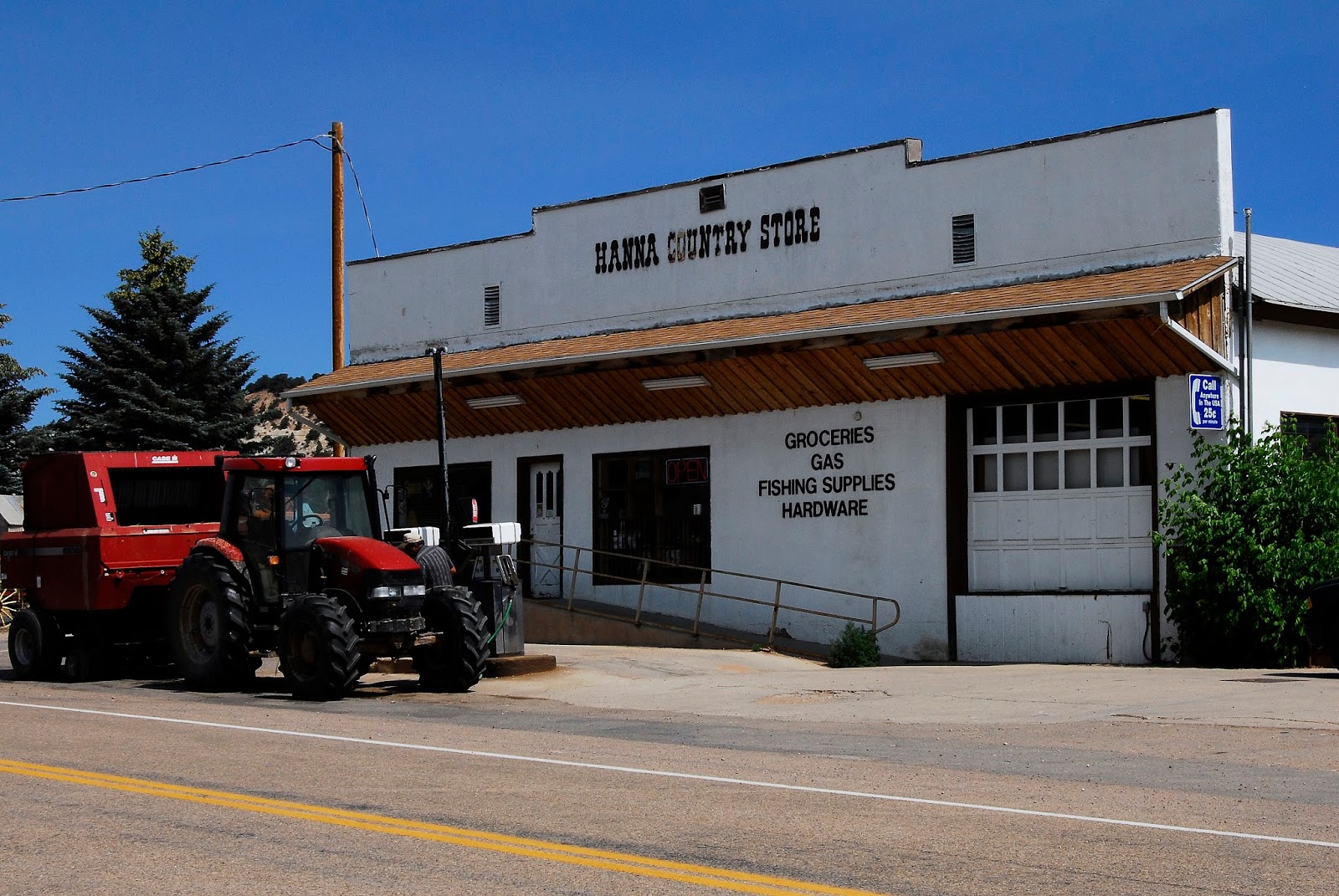
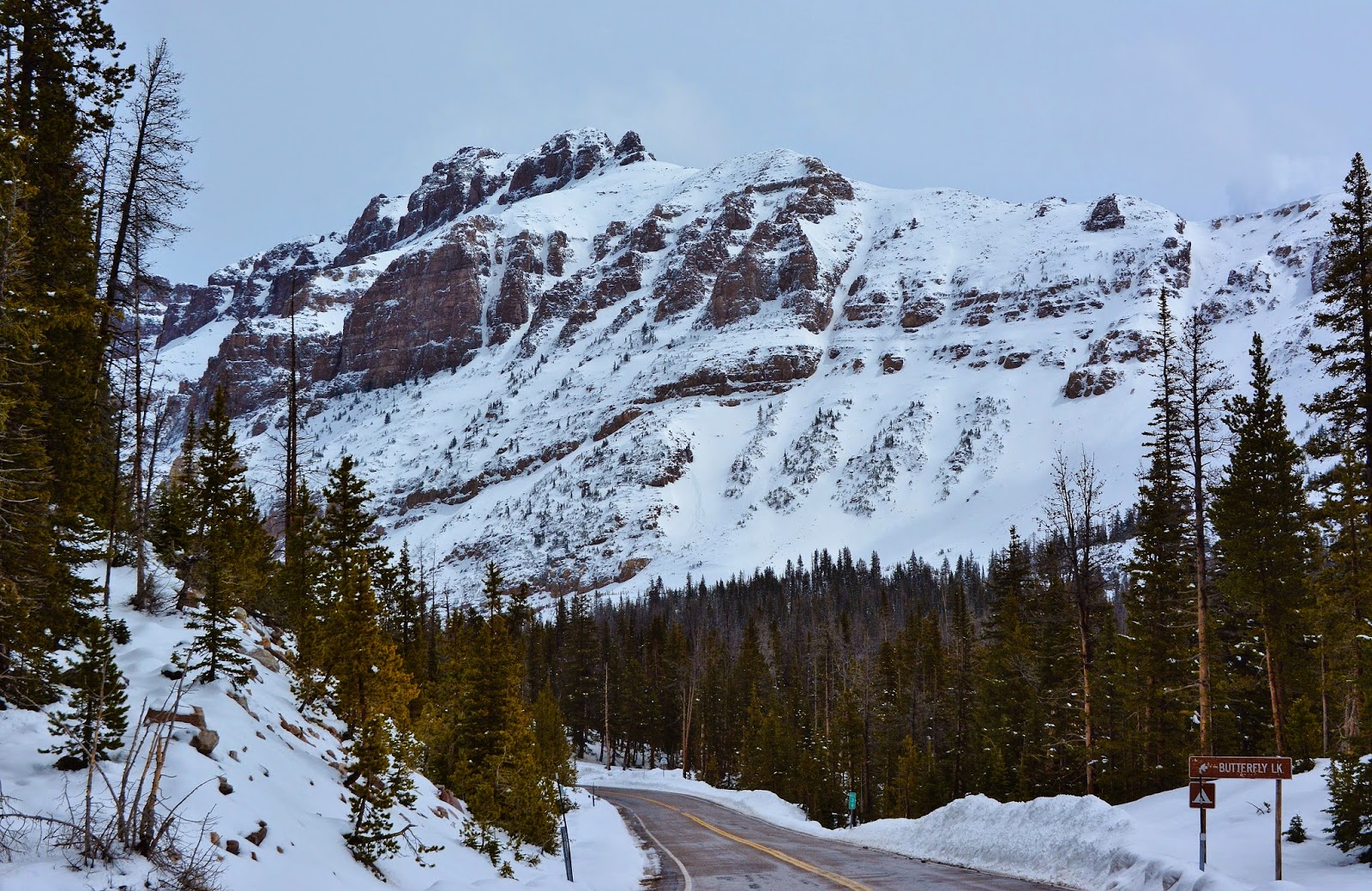
From the summit of Wolf Creek Pass you drop down to the North Fork of the Duchesne River.  The Hanna Country Store is 5 miles further to the east.


Here you can get what you might have forgotten, or once your hike is over, you can get some good refreshments here.


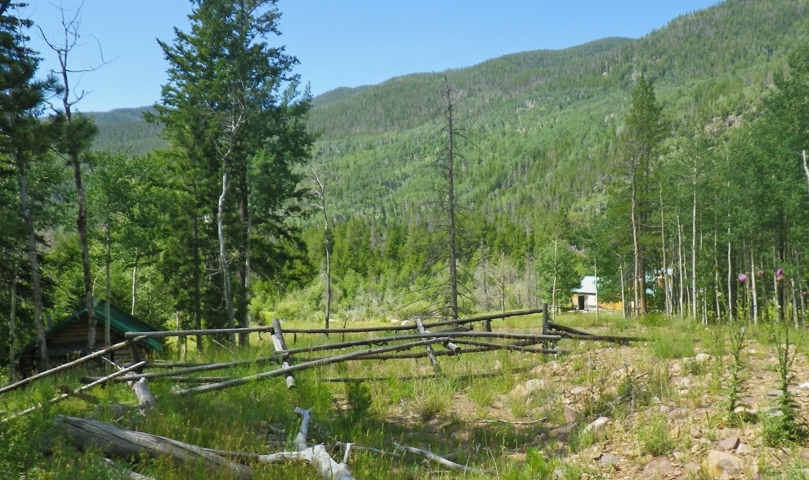
Then backtrack to the junction where you turn north along the North Fork of the Duchesne River, where also is located this Guard Station….named after  a Mr. Stockmore who, along with a partner,  pulled off  a “FAKE GOLD RUSH” absconding with their ill gotten riches and leaving behind a ghost town….with a bunch of disappointed and infuriated gold seekers.  You’ll get the whole story in the unique book soon to be produced on the High Uintas.


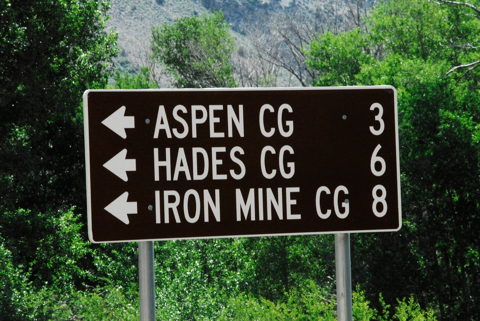
At 6 miles you pass the Defa Dude Ranch, and just a little further turn to the right at the sign to the Trailhead.   
This is where the Trailhead was many years ago, when on my introductory trip to the Uintas in 1952 , we drove the dirt Wolf Creek Pass Road and here parked my old 1939 Plymouth and began the all night hike…..a Friday night,  to get to the Grandaddies for the Fish Opener on the first Saturday in July.


Part way up the 6 miles you pass a turnout from which you can see down in the canyon “Lightning Ridge” just one of the memorable portions of our 10 mile climb to the Grandaddies in the black of night in 1952.  It was one tough “first backpack” carrying a watermelon,  quart glass bottles of Hires Rootbeer, and cans of Pork and Beans, but I was hooked, along with Ted Packard and Charlie Petersen….we persisted and began learning about “lightweight backpacking.” 

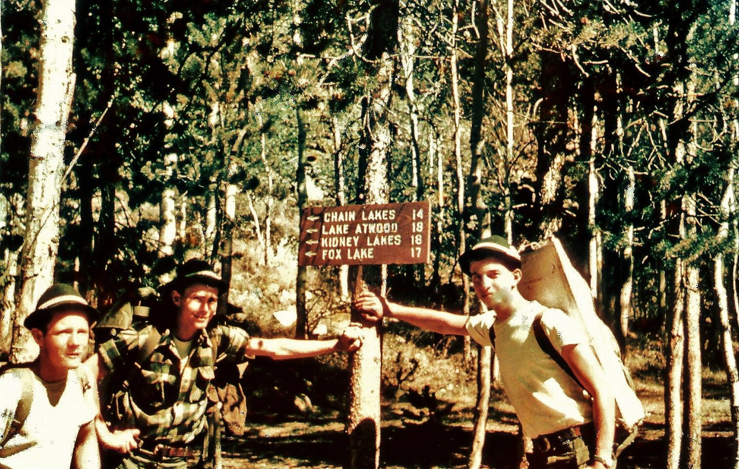
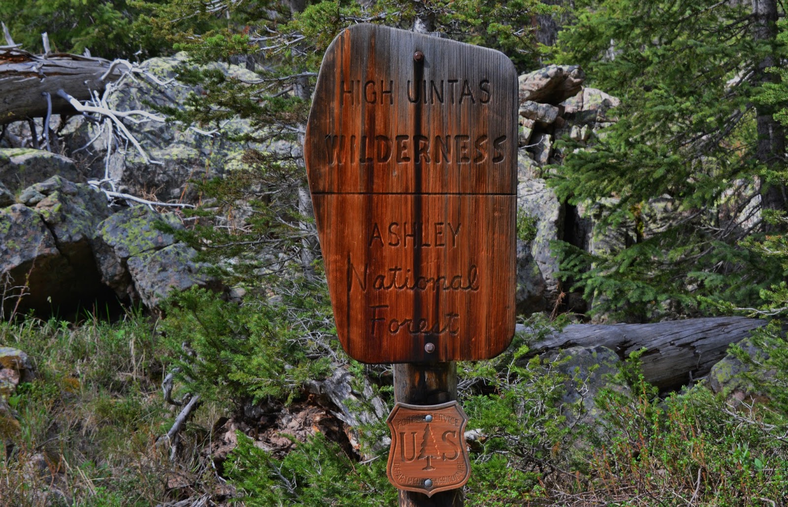
By 1954 the three of us took two weeks to backpack across the entire High Uintas Primitive Area.  Here we are at Hades Pass where there was a wonderful sign about the Primitive Area….that by 1984 became the High Uintas Wilderness Area–twice the size of the original Primitive Area.

The wonderful sign has disappeared as have many from the old days, with some pictured in this documentary for history’s sake.


A bit over halfway to the Trailhead you pass Splash Dam and the lake it has formed for many years…..but something happened this year, draining the lake leaving as we see below.


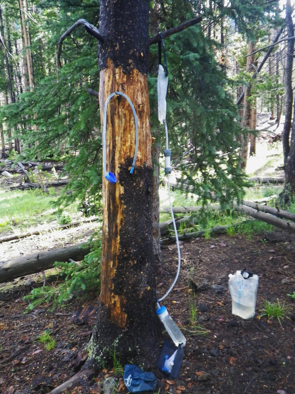
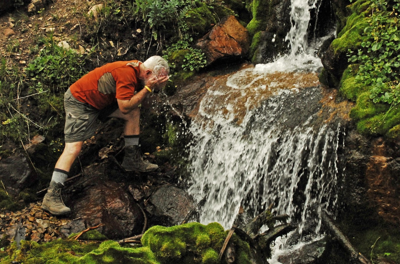
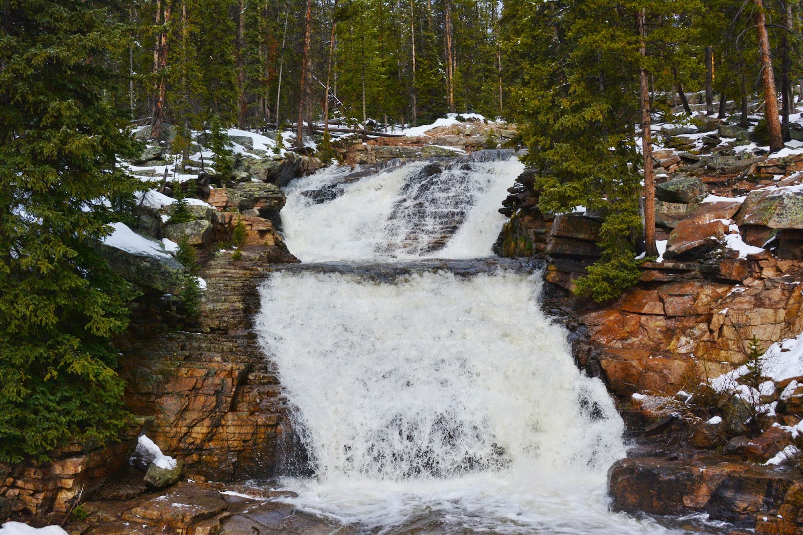
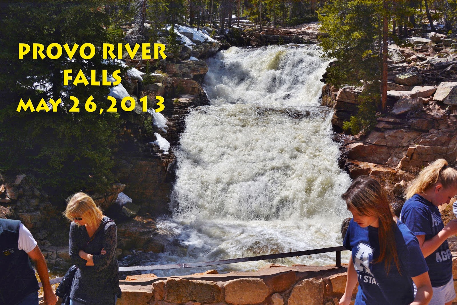
Near the Trailhead you pass a wonderful cascade of pure water where, coming and going we always stop to refresh ourselves, and fill our water containers.


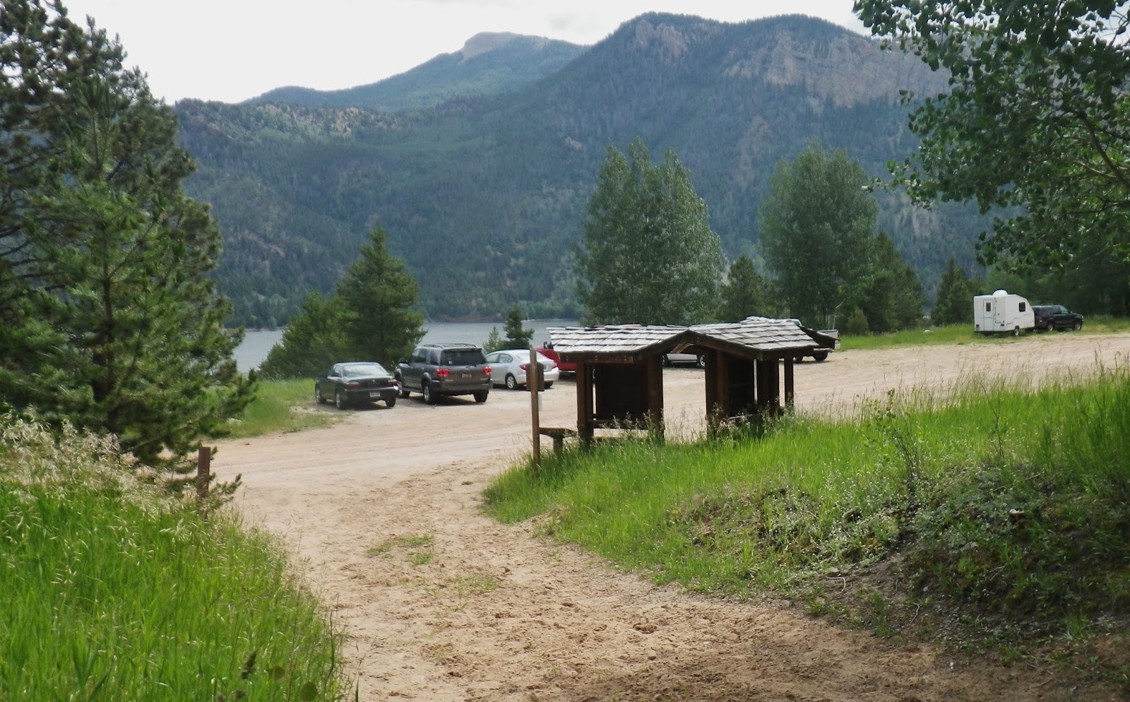
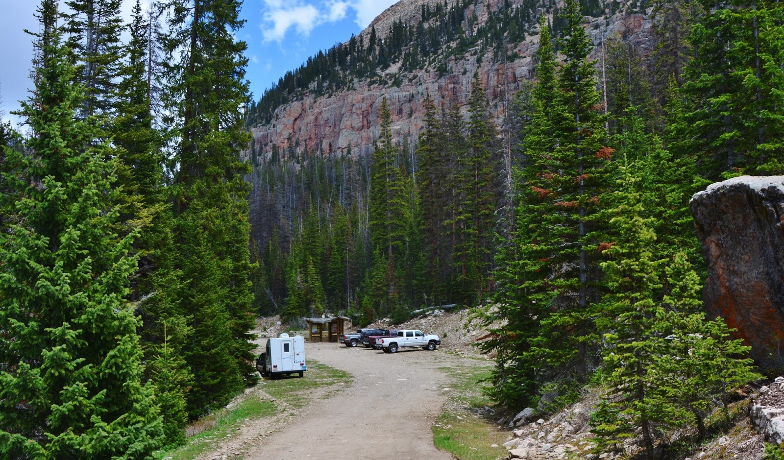
The trailhead is in a very picturesque spot–probably the best in the entire Wilderness.  From here it is 4 miles to Grandaddy Lake.


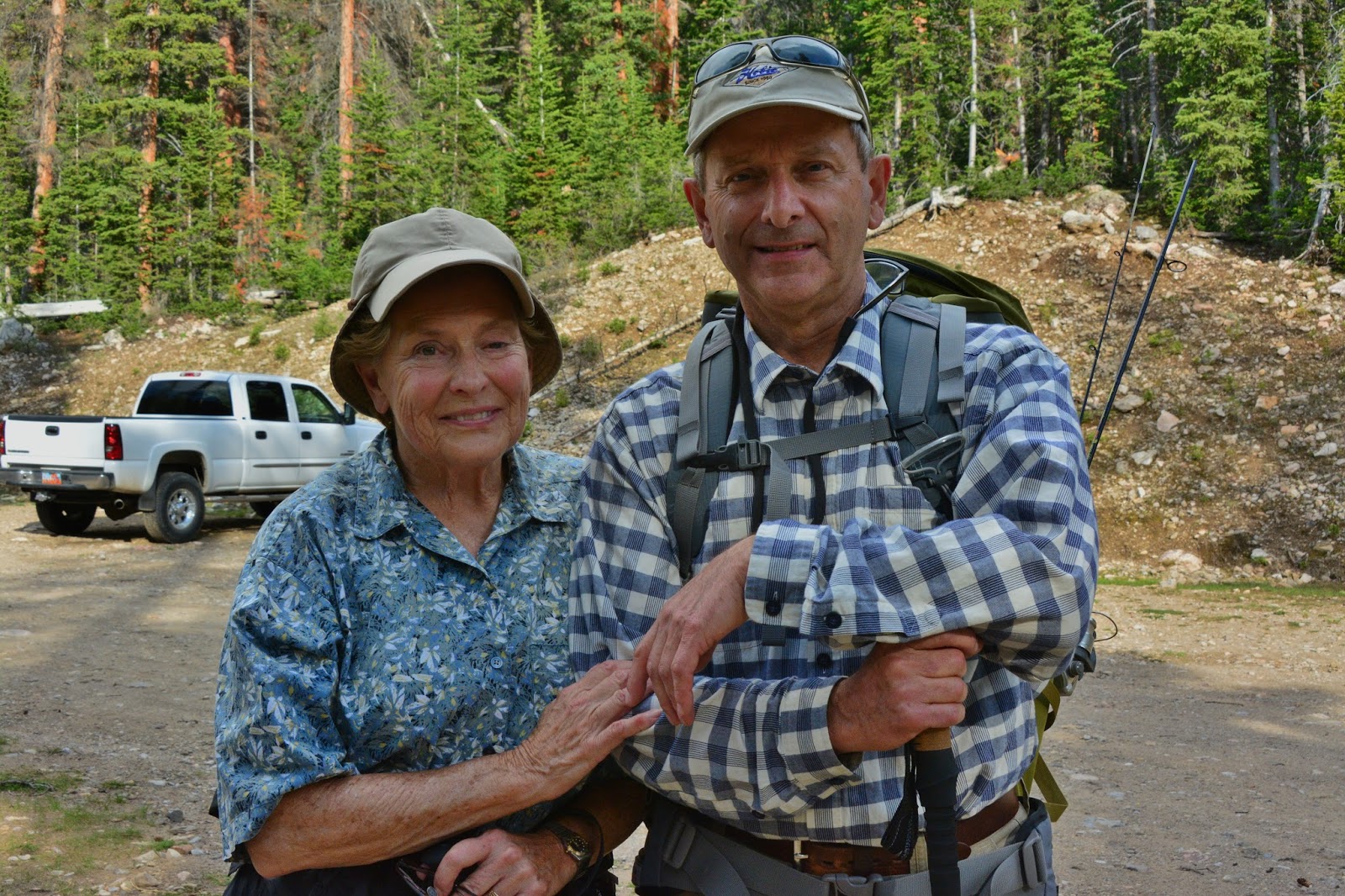
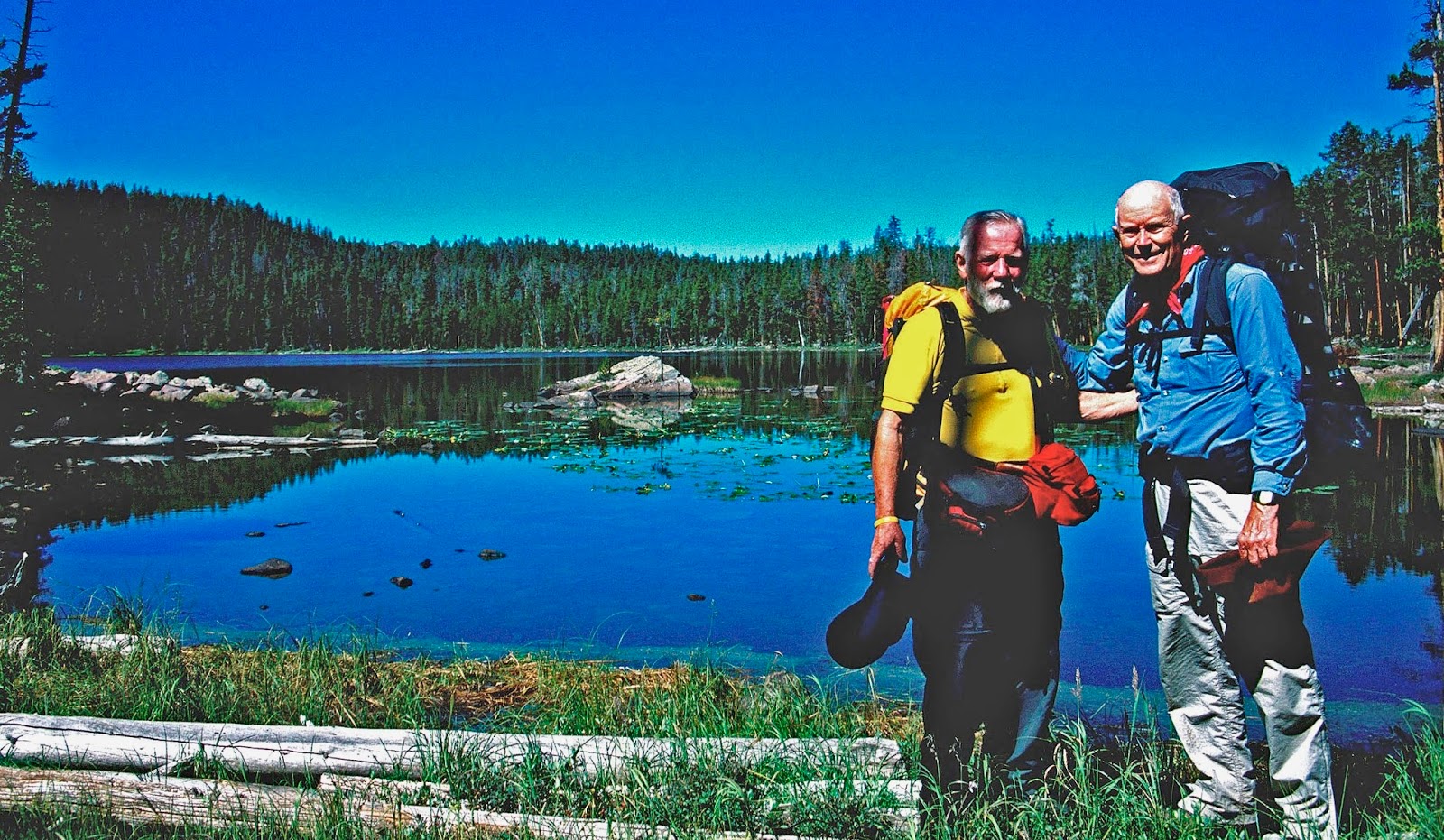
Many now do the hike to Grandaddy Lake and area as a day hike, such as was done on June 12th by old friends I hadn’t seen in more than 50 years.
Meet  Kent Petersen, younger brother of one of my original High Uinta buddies, Charlie, and his sister, Joan Petersen Fisher, 
MRS. AMERICA 1968-69!
There is one interesting aspect to this friendship, which you can learn about from my photo/essay on Backpack #1-2015 The Grandaddy Loop


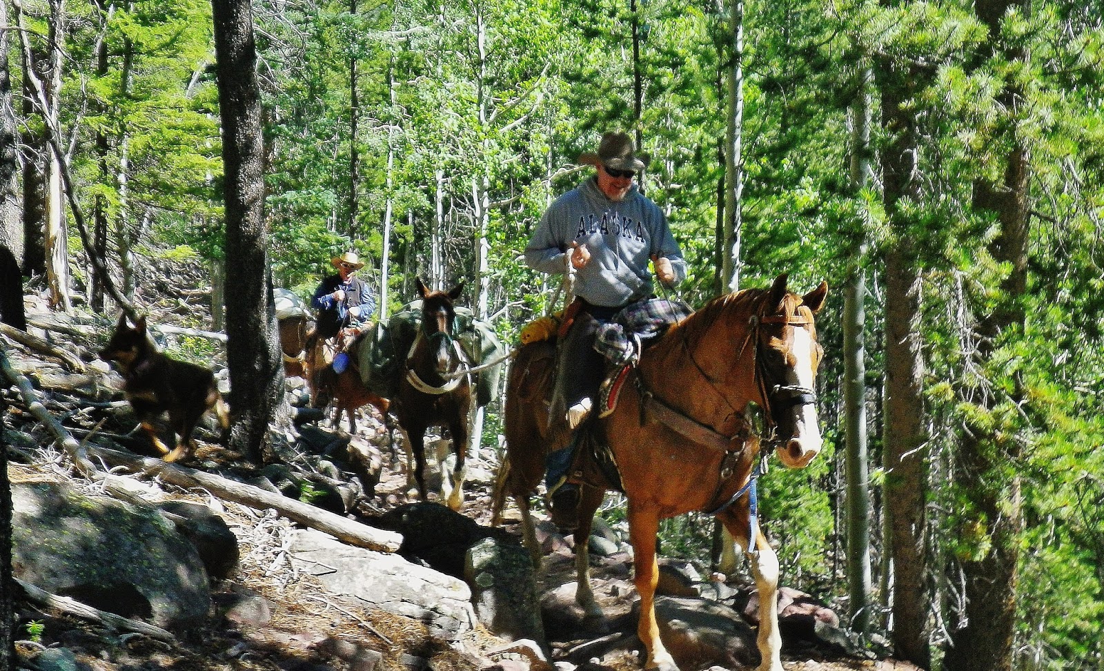
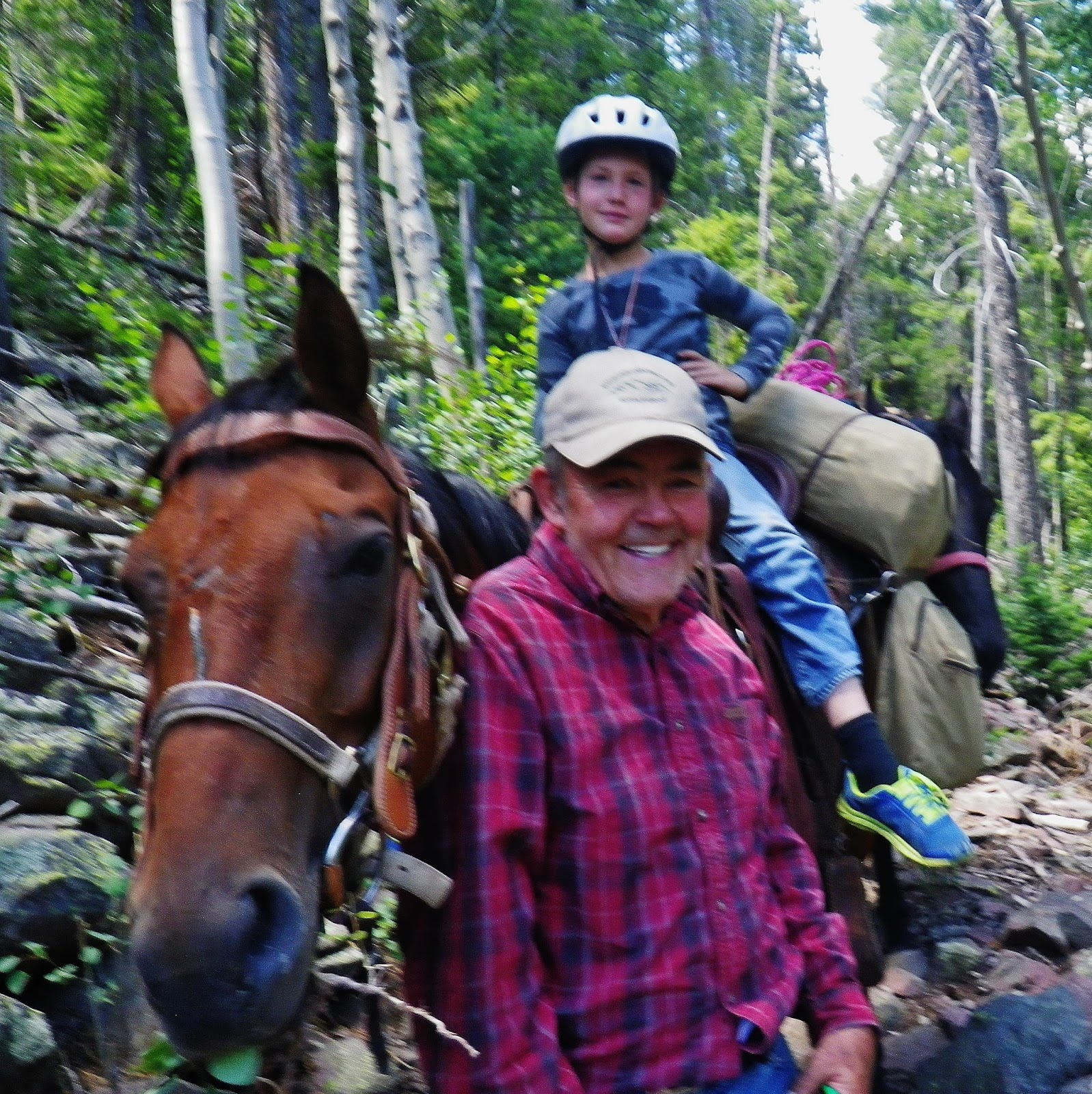
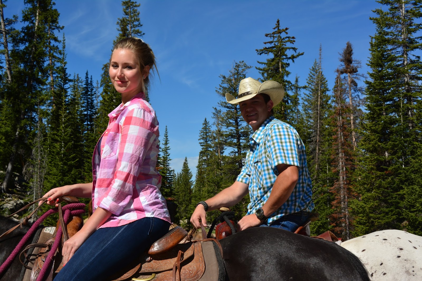
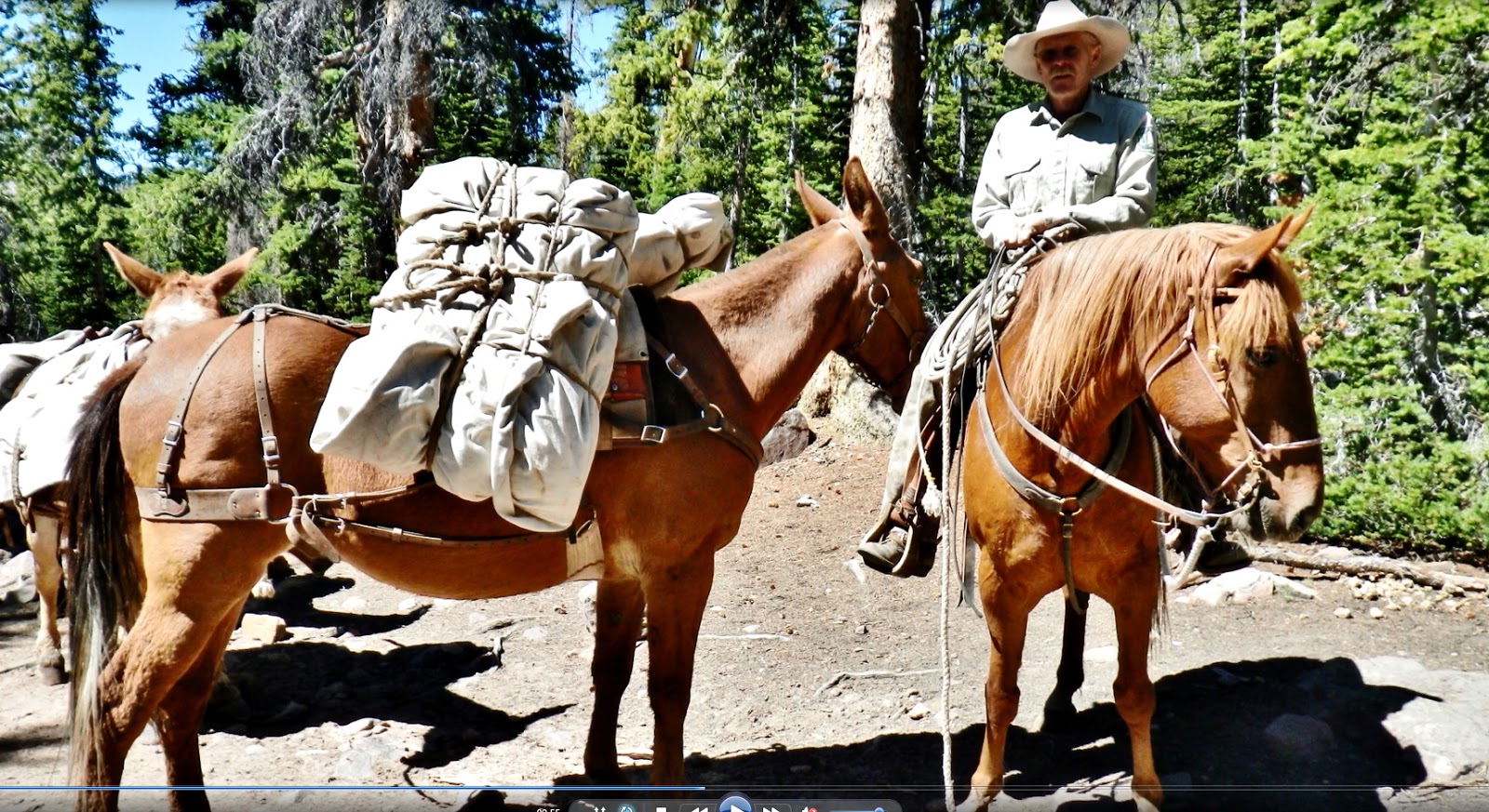
The Turnbows from Hanna did it that day on horseback as do many.

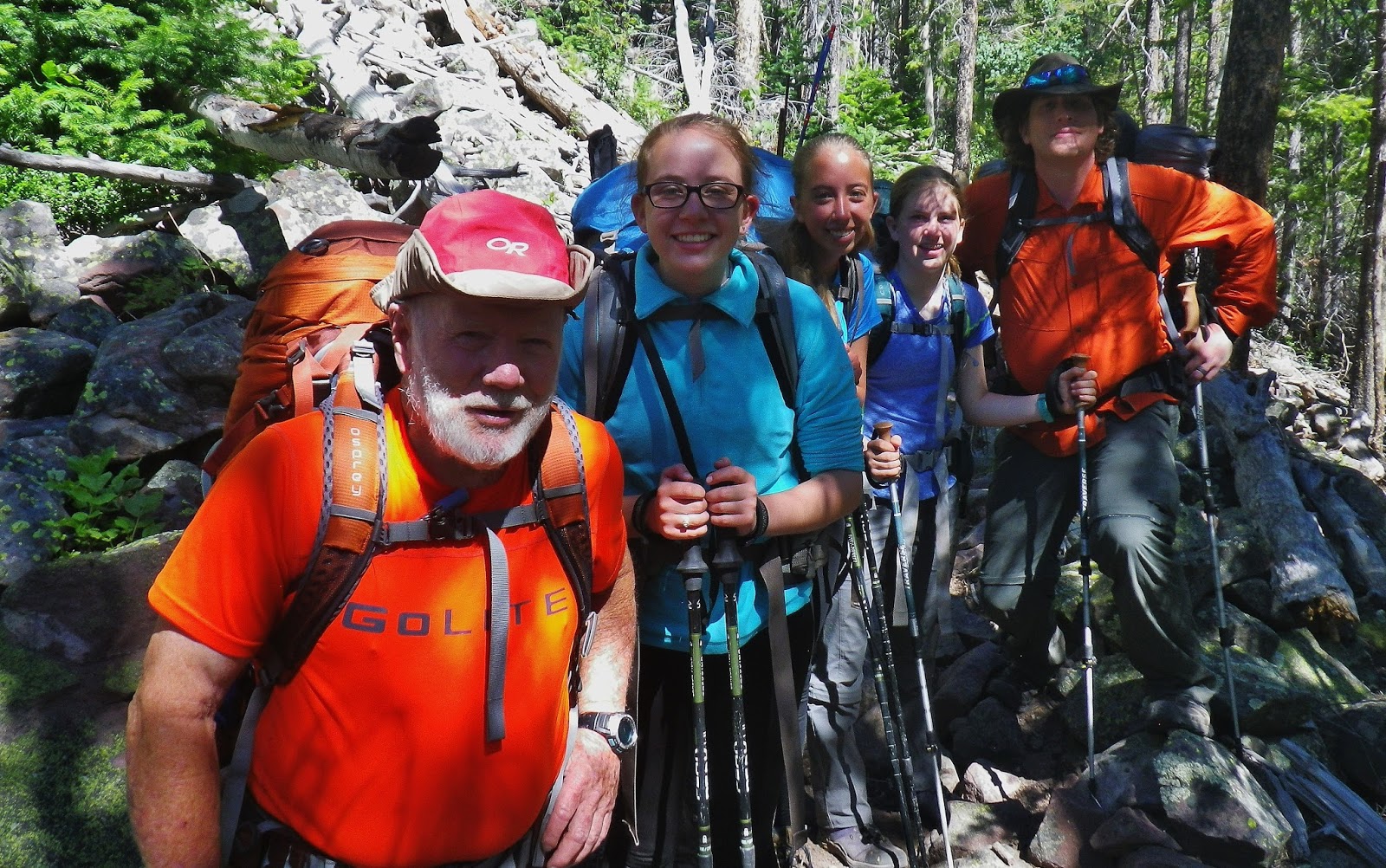
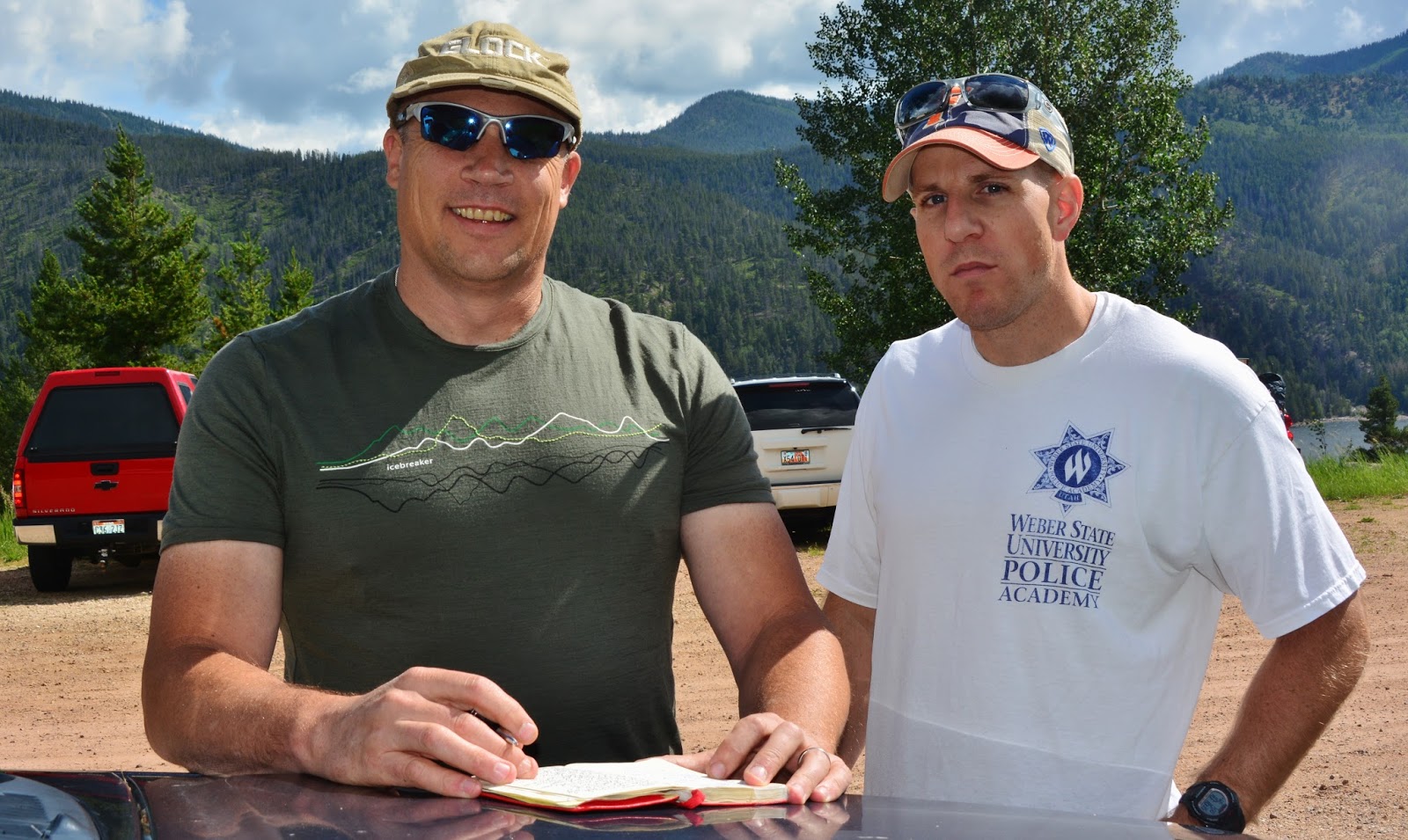
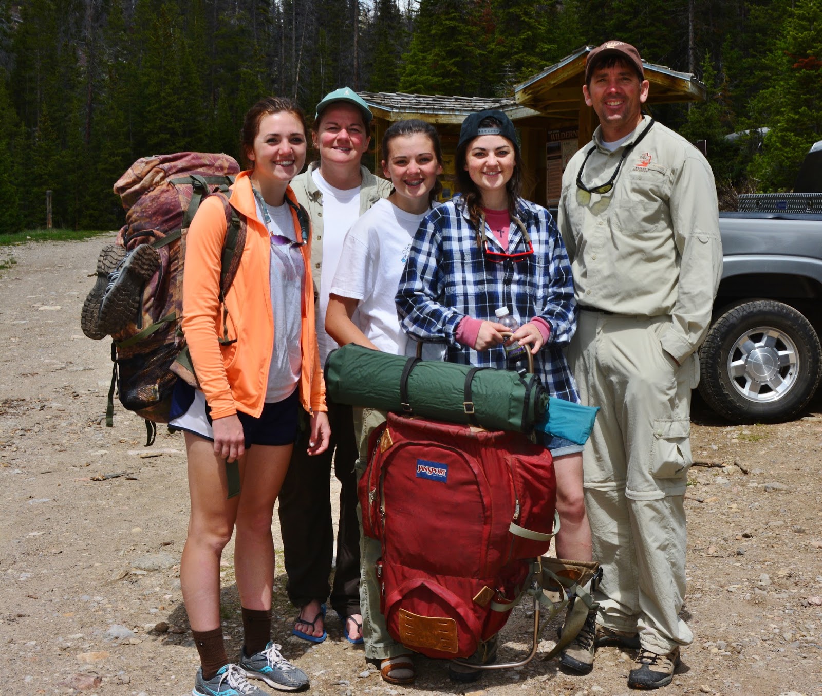
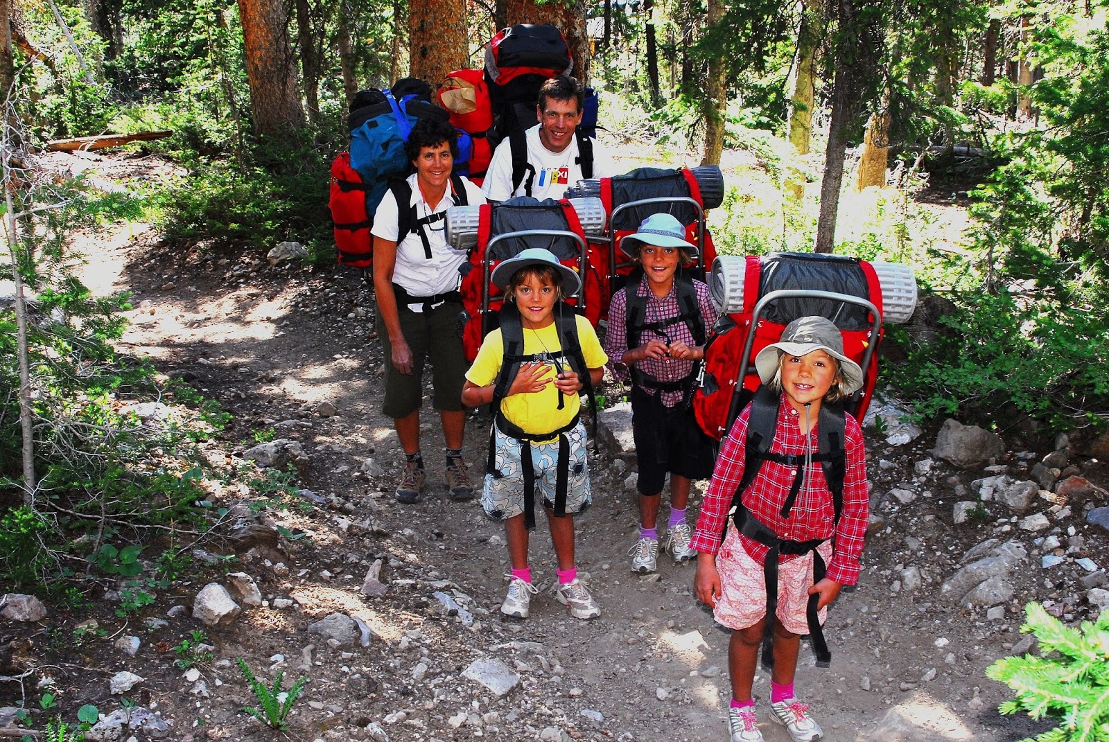
And, as I was preparing to backpack up the trail to show the world all the Grandaddy lakes, I heard someone yell, “HEY, CORDELL!”  and  met again friends I met on this same trail in 2013….the great backpacking family of Mike Slater, Division of Wildlife Resources employee from Springville.


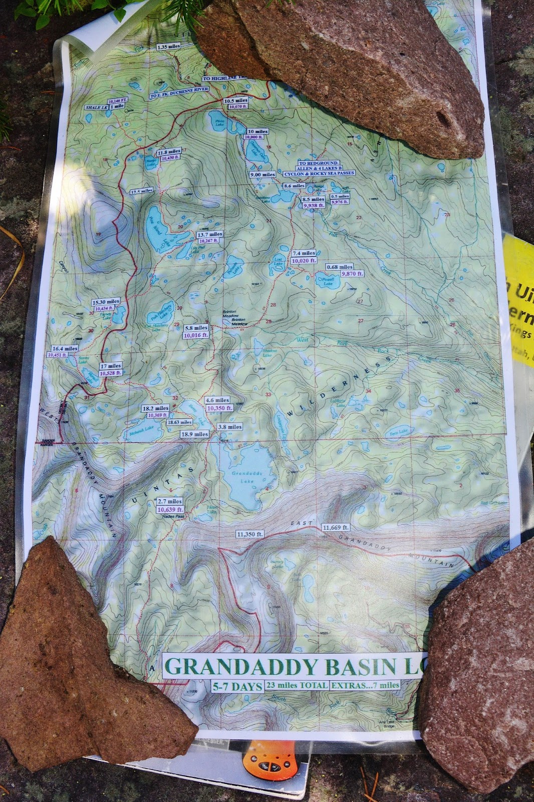
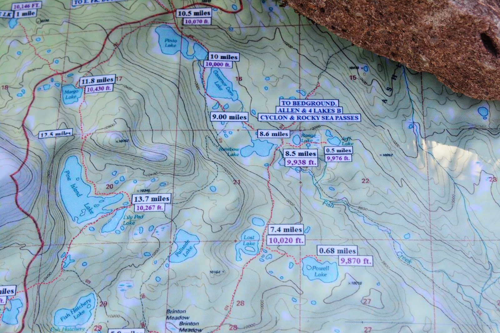
The map at the Trailhead shows basically the lakes we will now visit on a whirlwind backpack tour.  Some of the distances are shown just as you start up the trail.


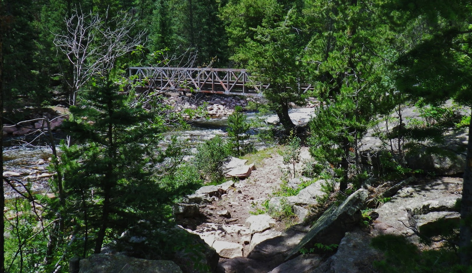
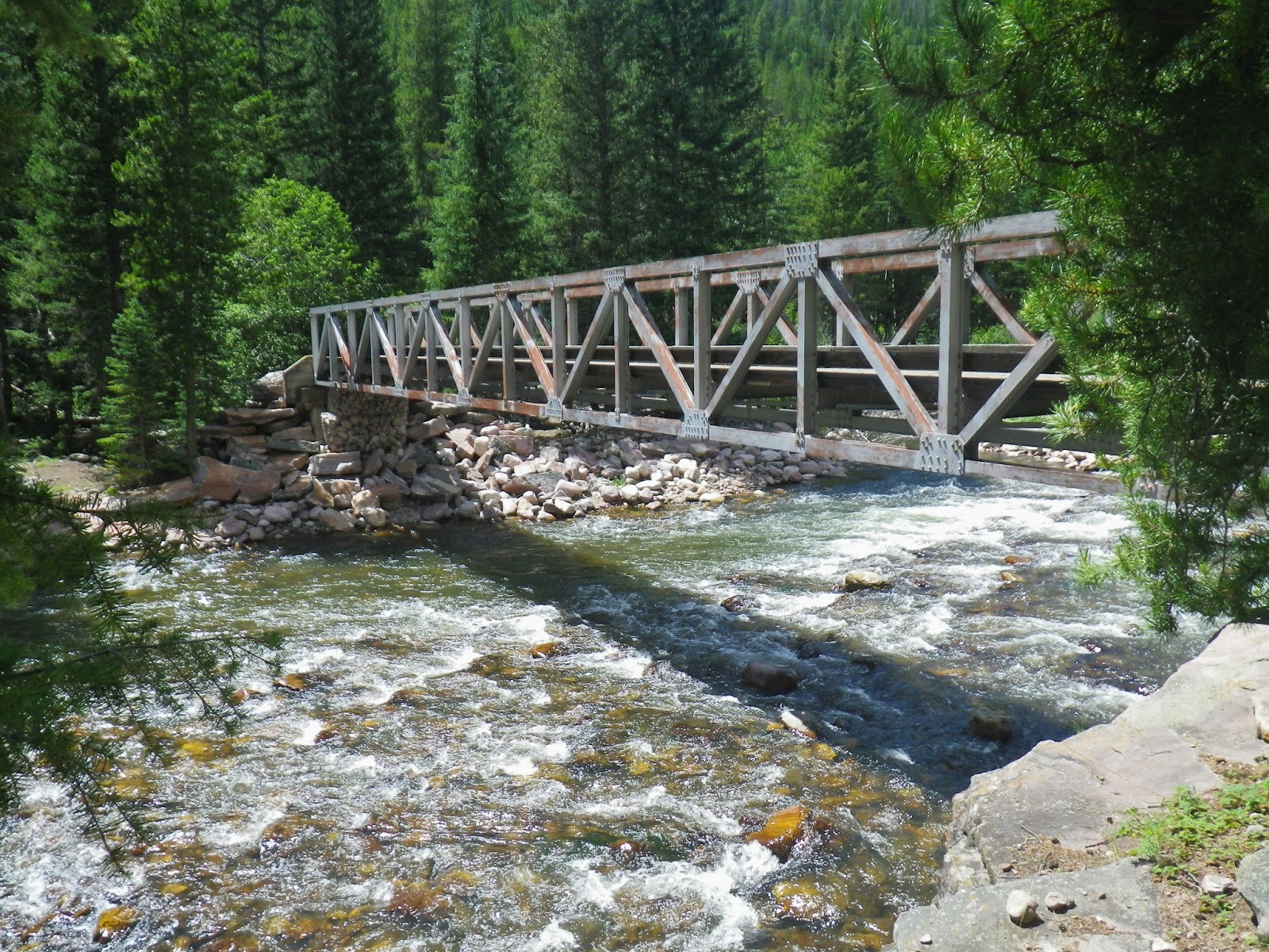
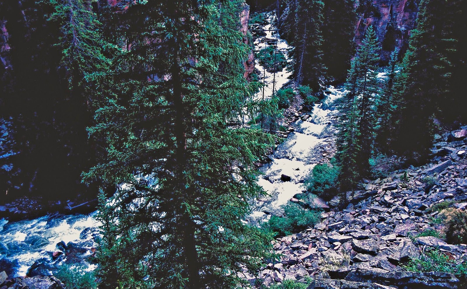
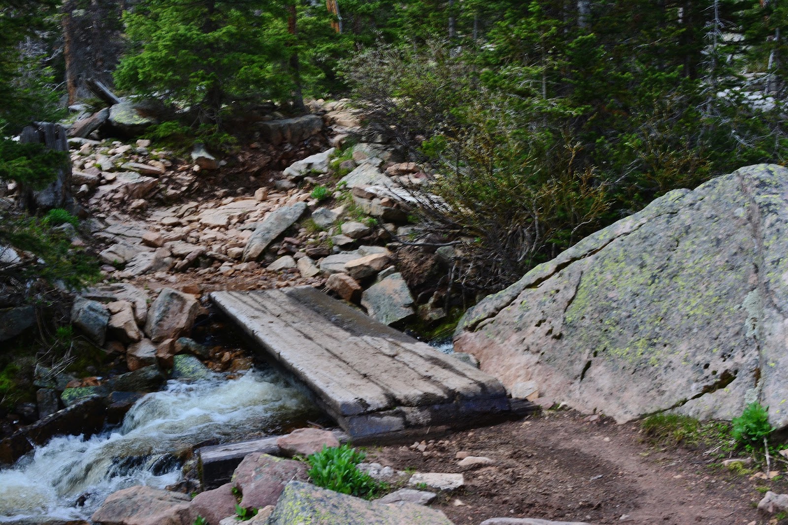
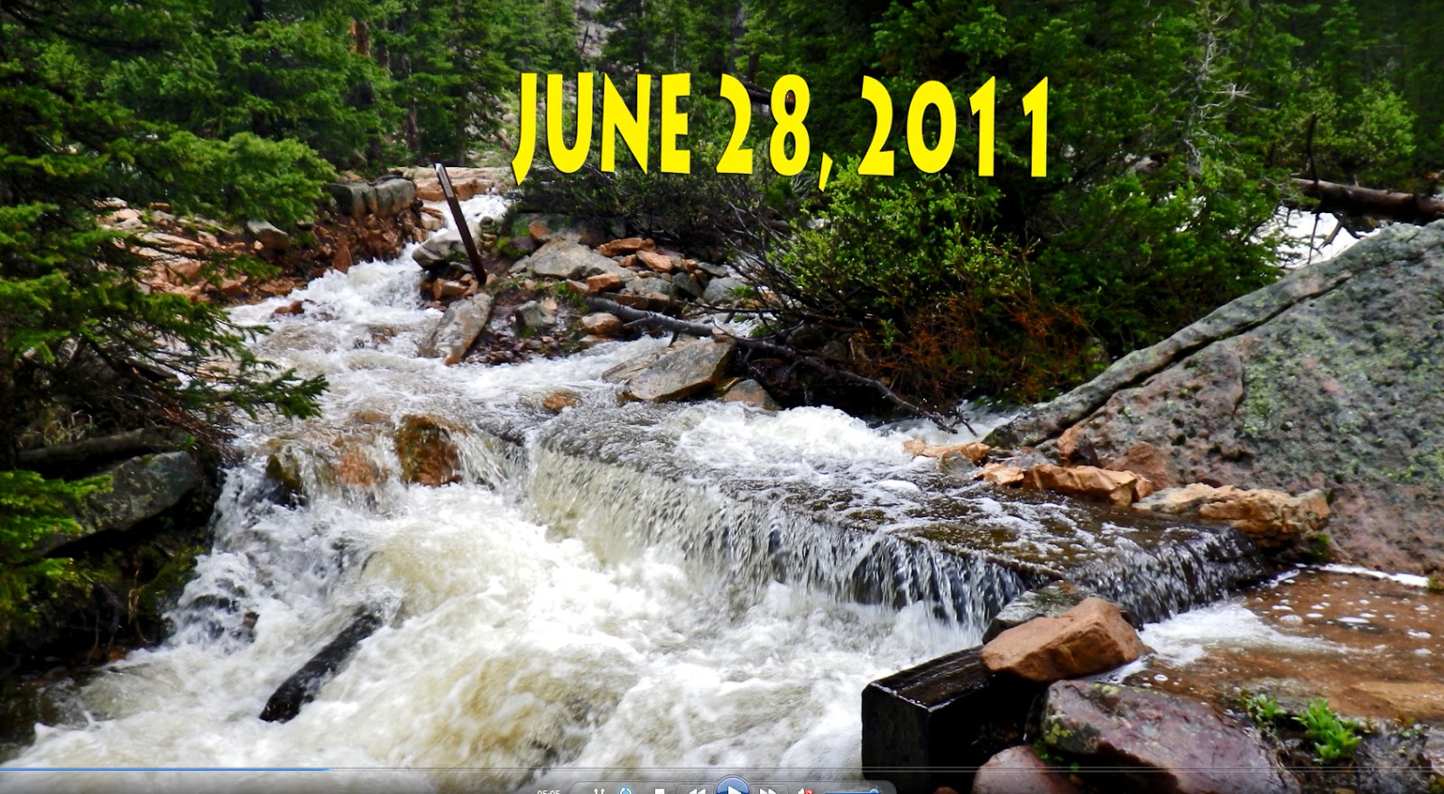
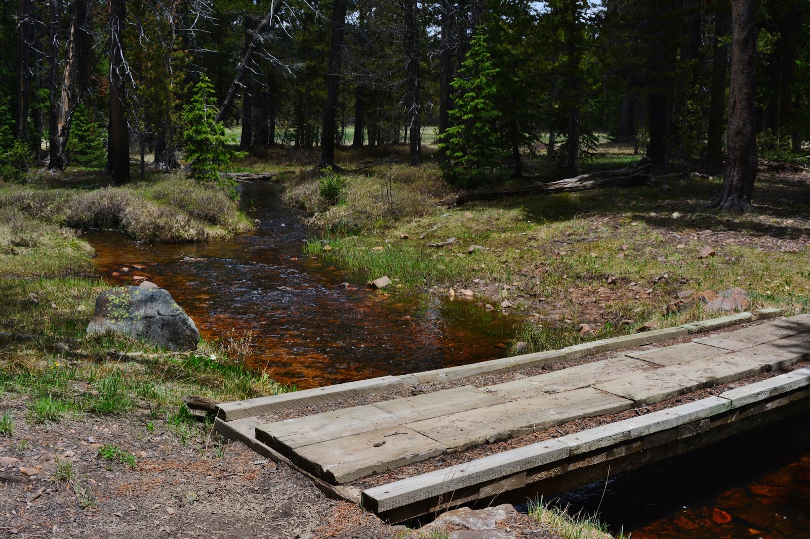
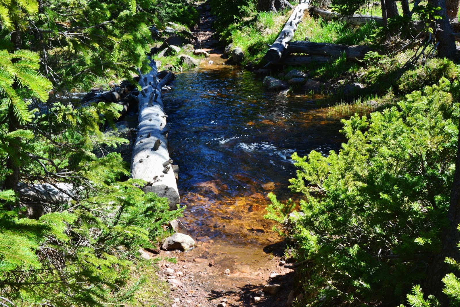
A short distance from the trailhead you cross the creek on this footbridge, seeing it above as it was on June 15, 2015.
Below you see it two weeks later in 2013 when a lot of snow fell, and there was heavy runoff.


The trail nearly had a larger stream flow than the creek itself!


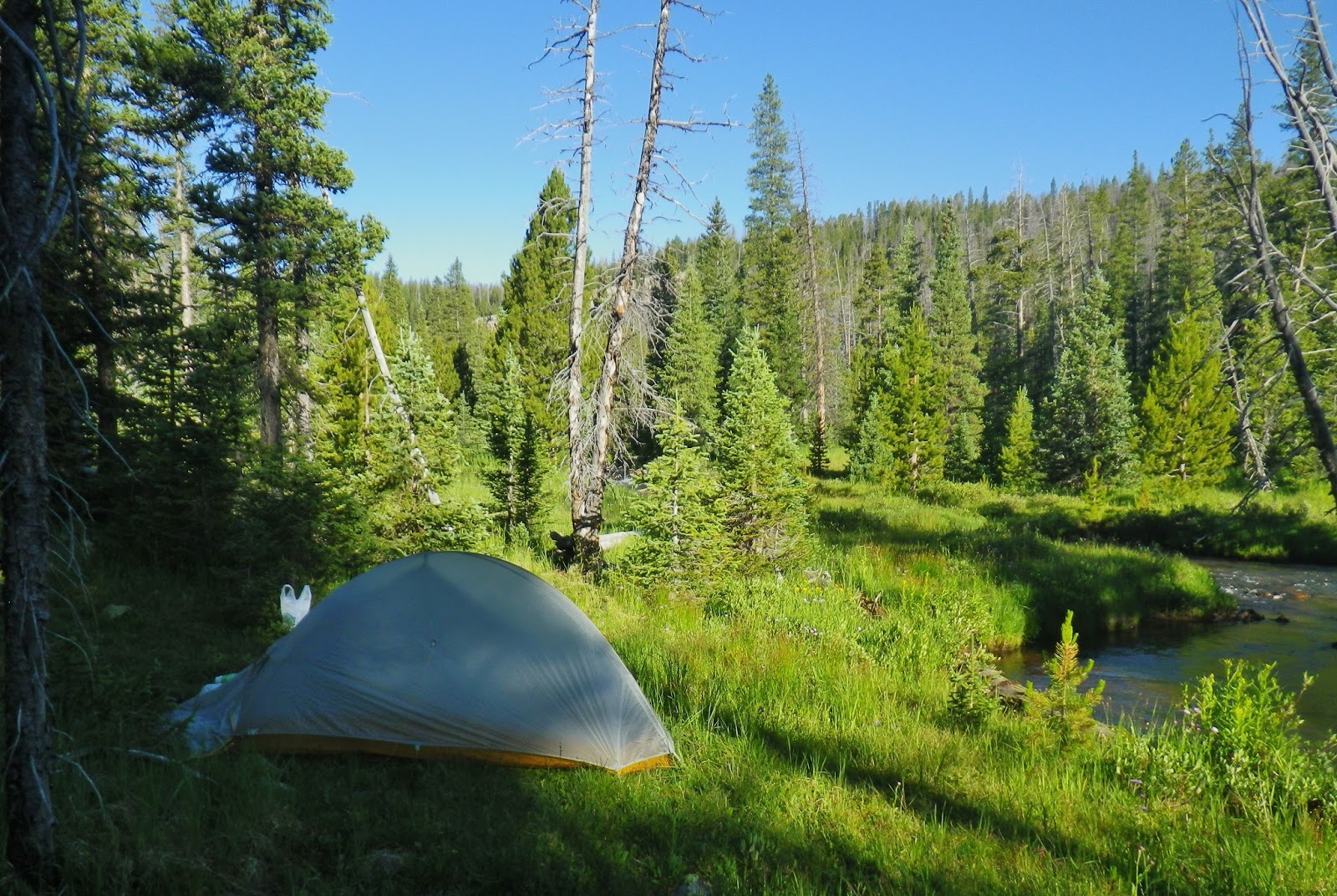
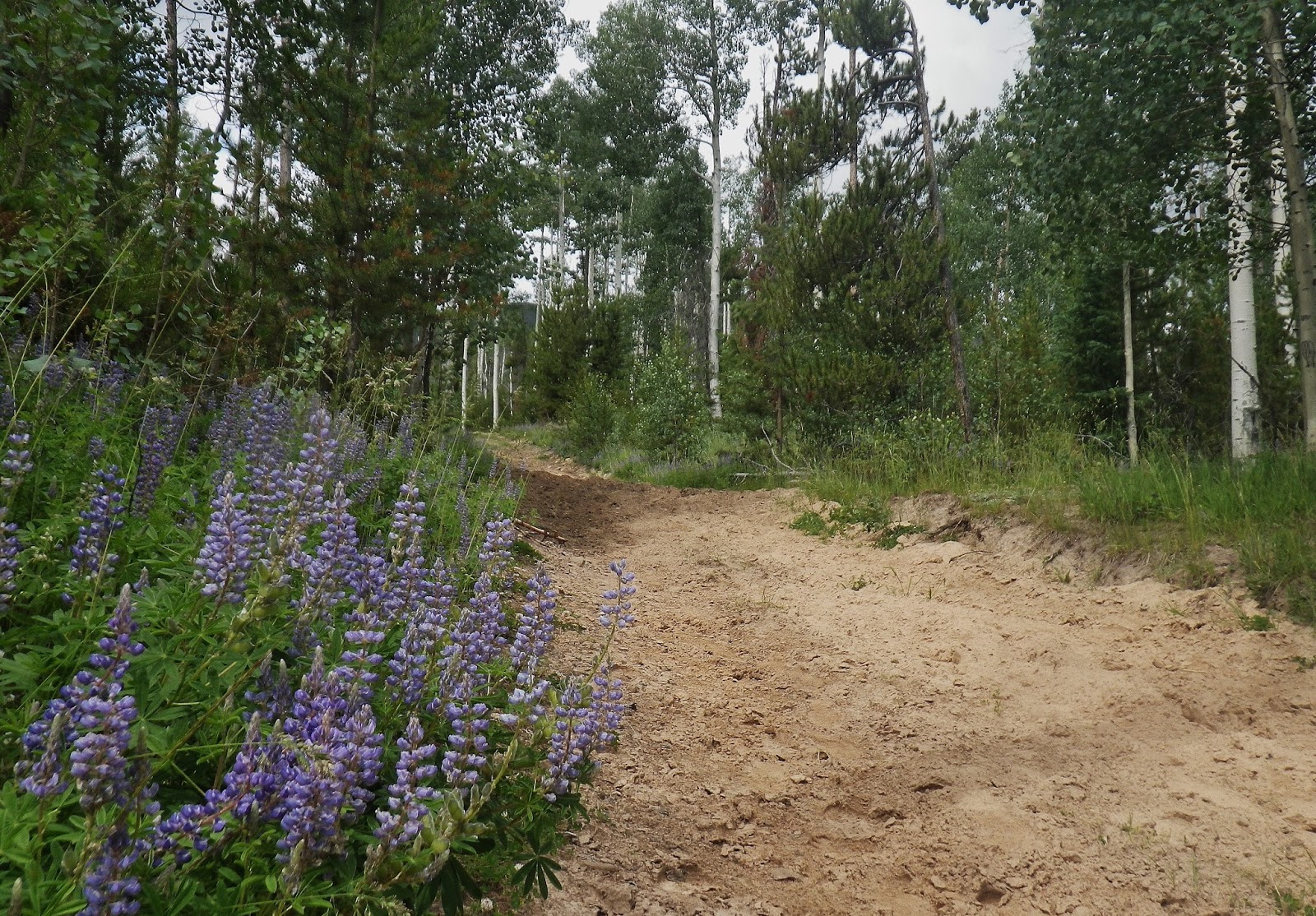
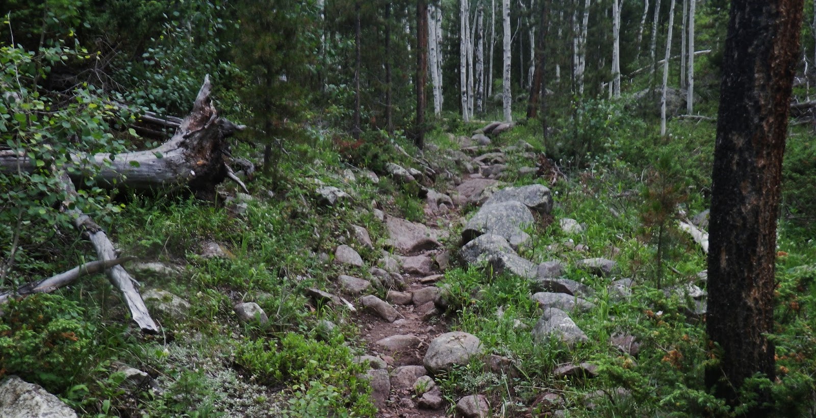
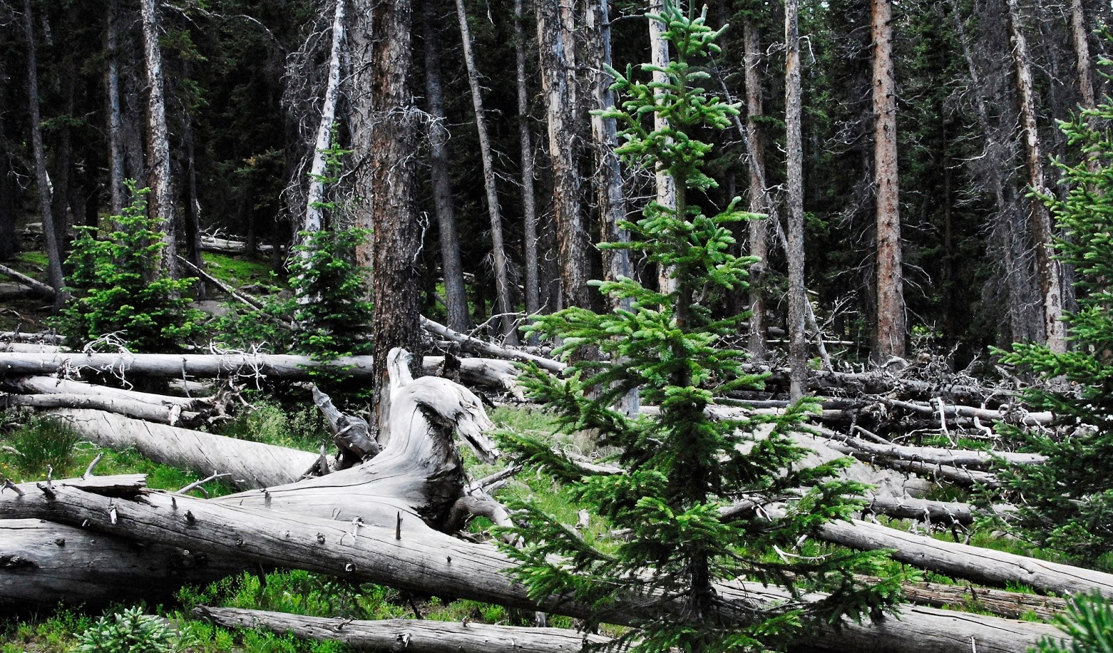
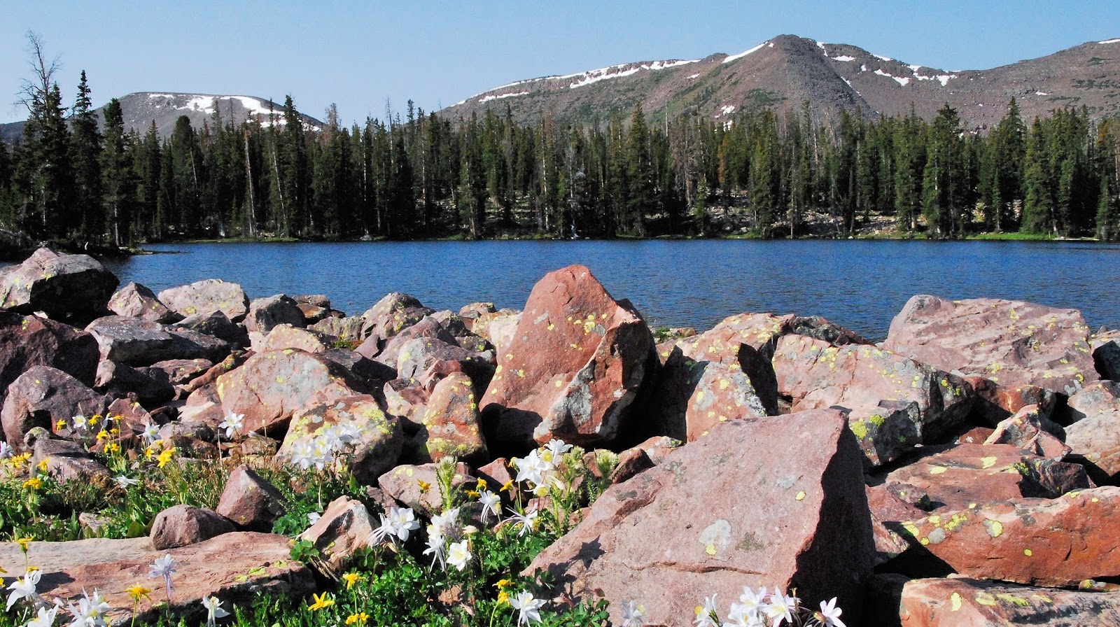
Many backpackers visit this pristine Wilderness each year, yet it continues to be a Wilderness that can be enjoyed by all–with accessible lakes right on the trails, but also remote lakes off the beaten path where sometimes you can go for days without seeing another human being.

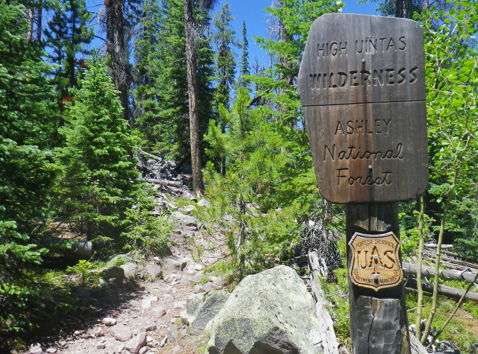
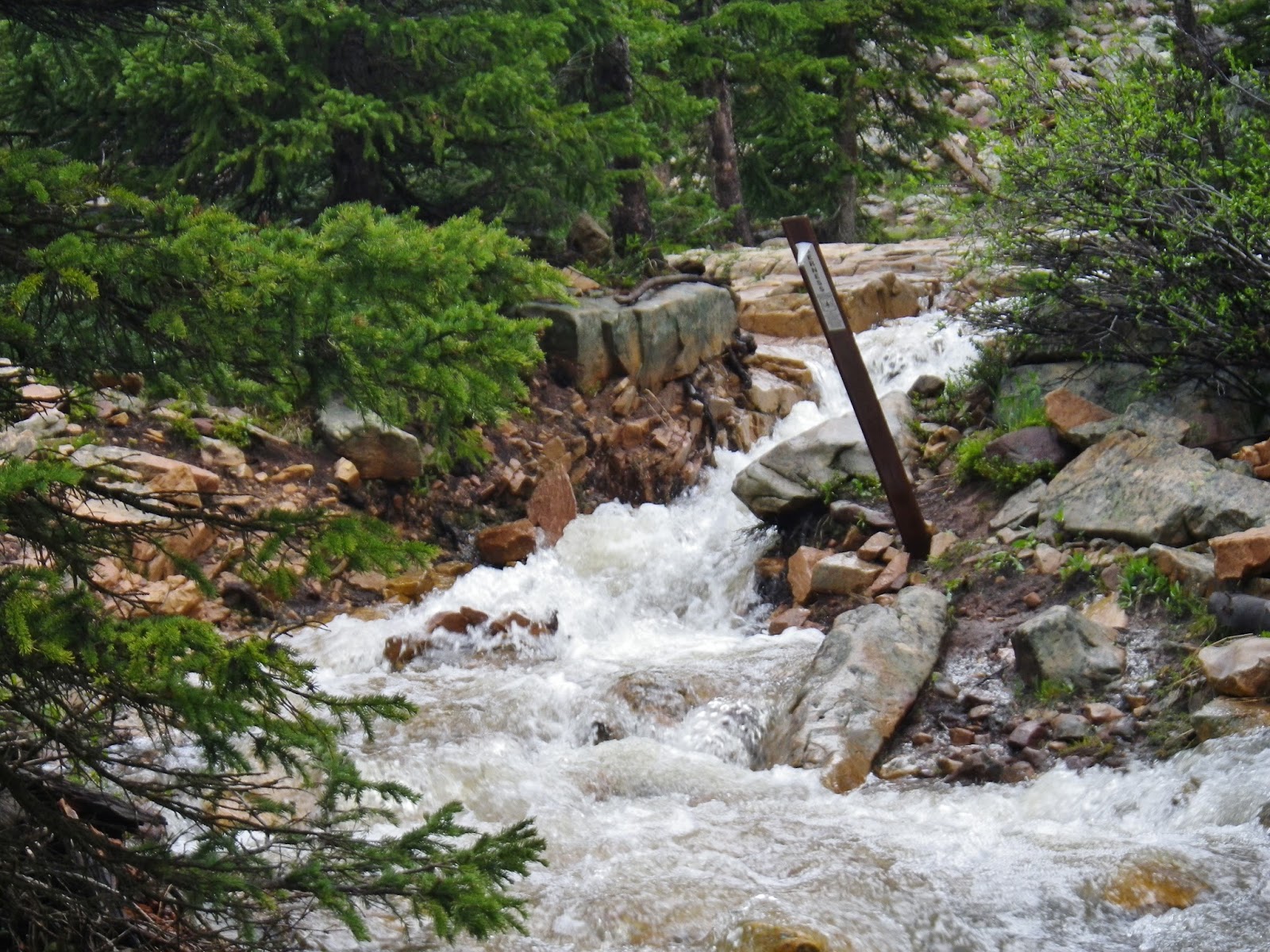
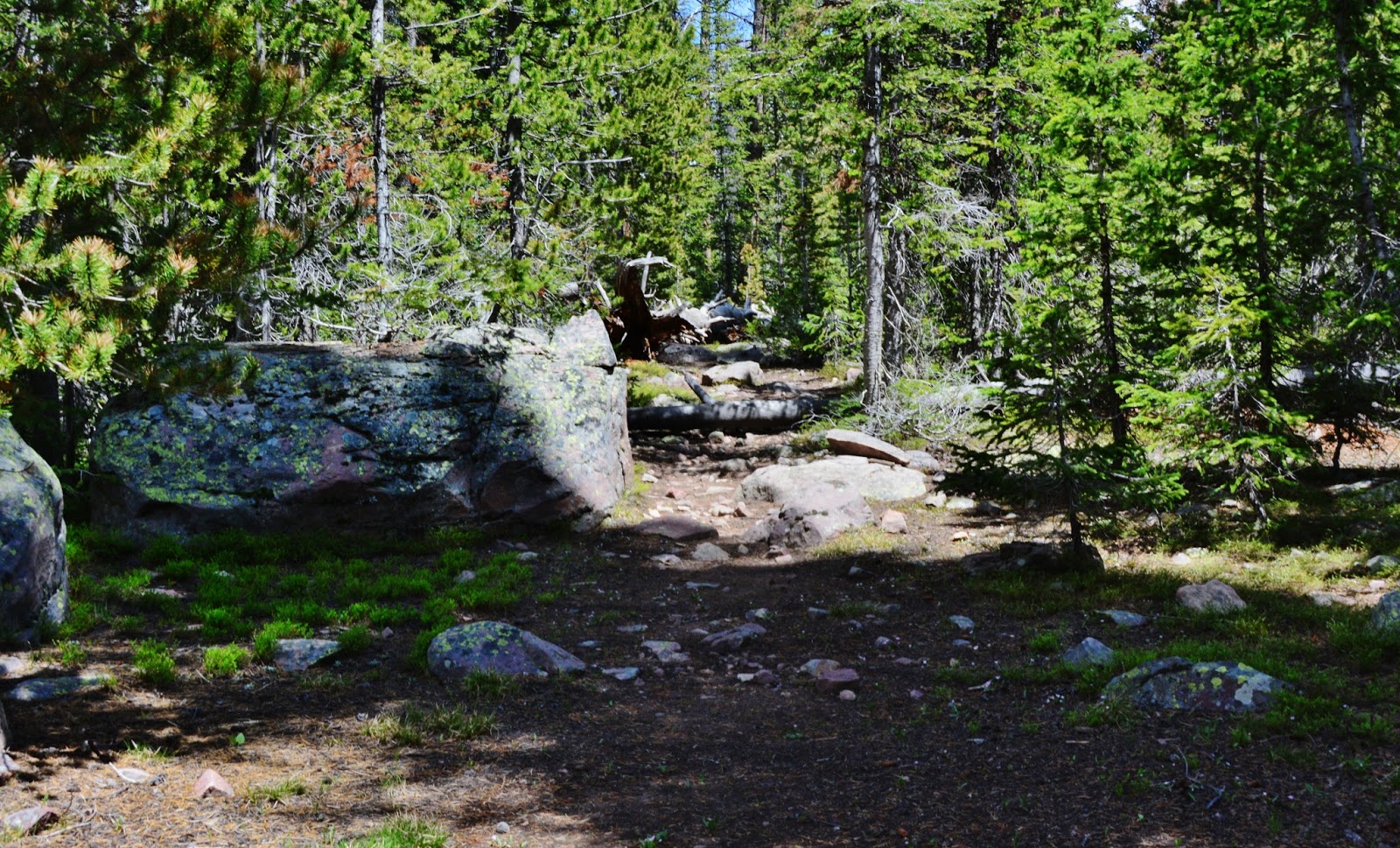
Just a bit up the trail from the bridge you come to the Wilderness Boundary.


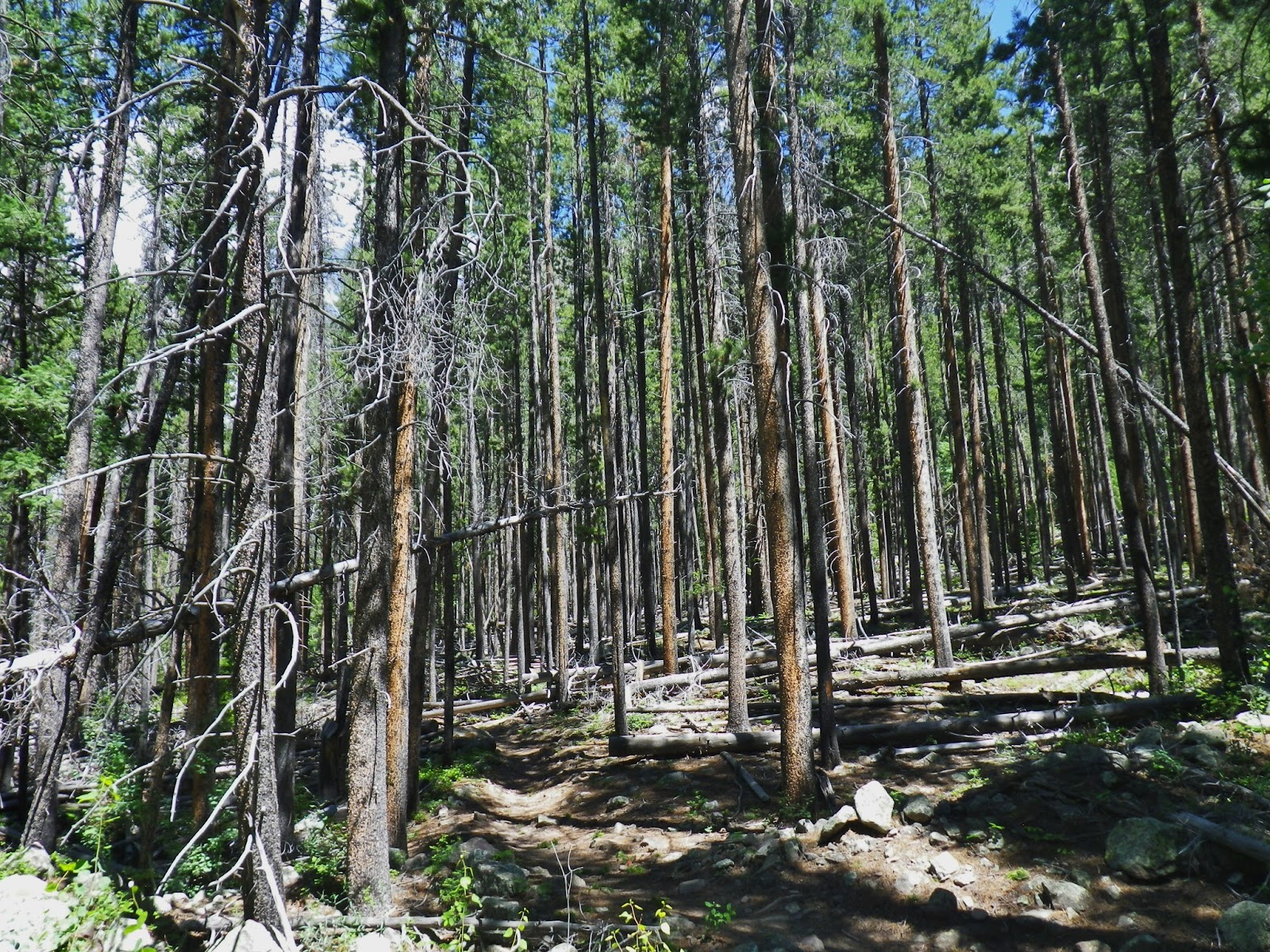
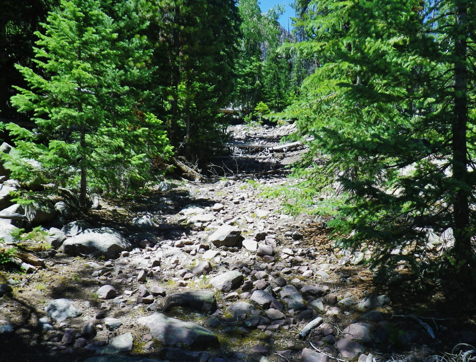
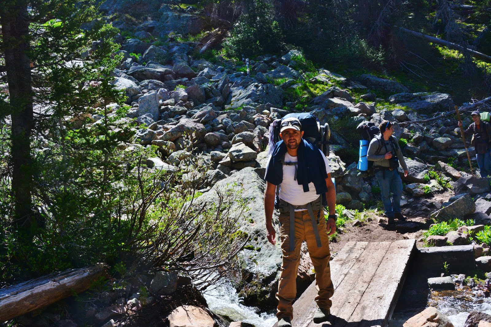
Many portions of the trails in the High Uintas are not for the faint hearted, but they offer great challenges for the adventurer.


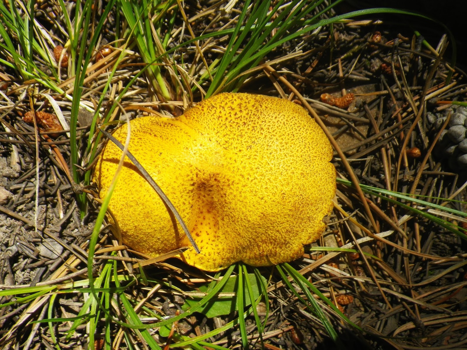
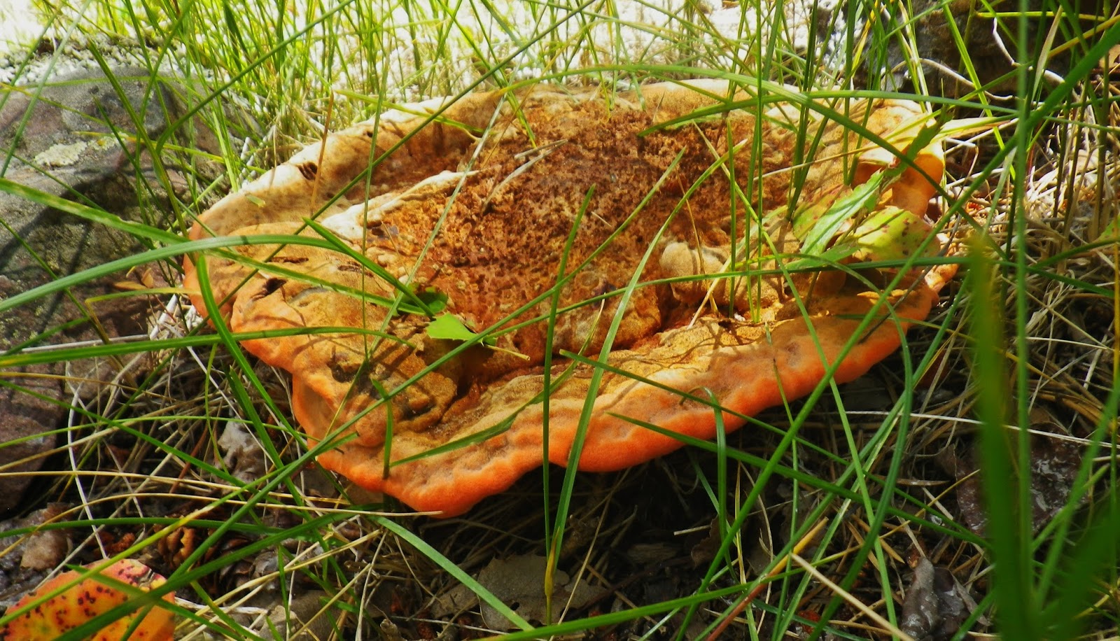
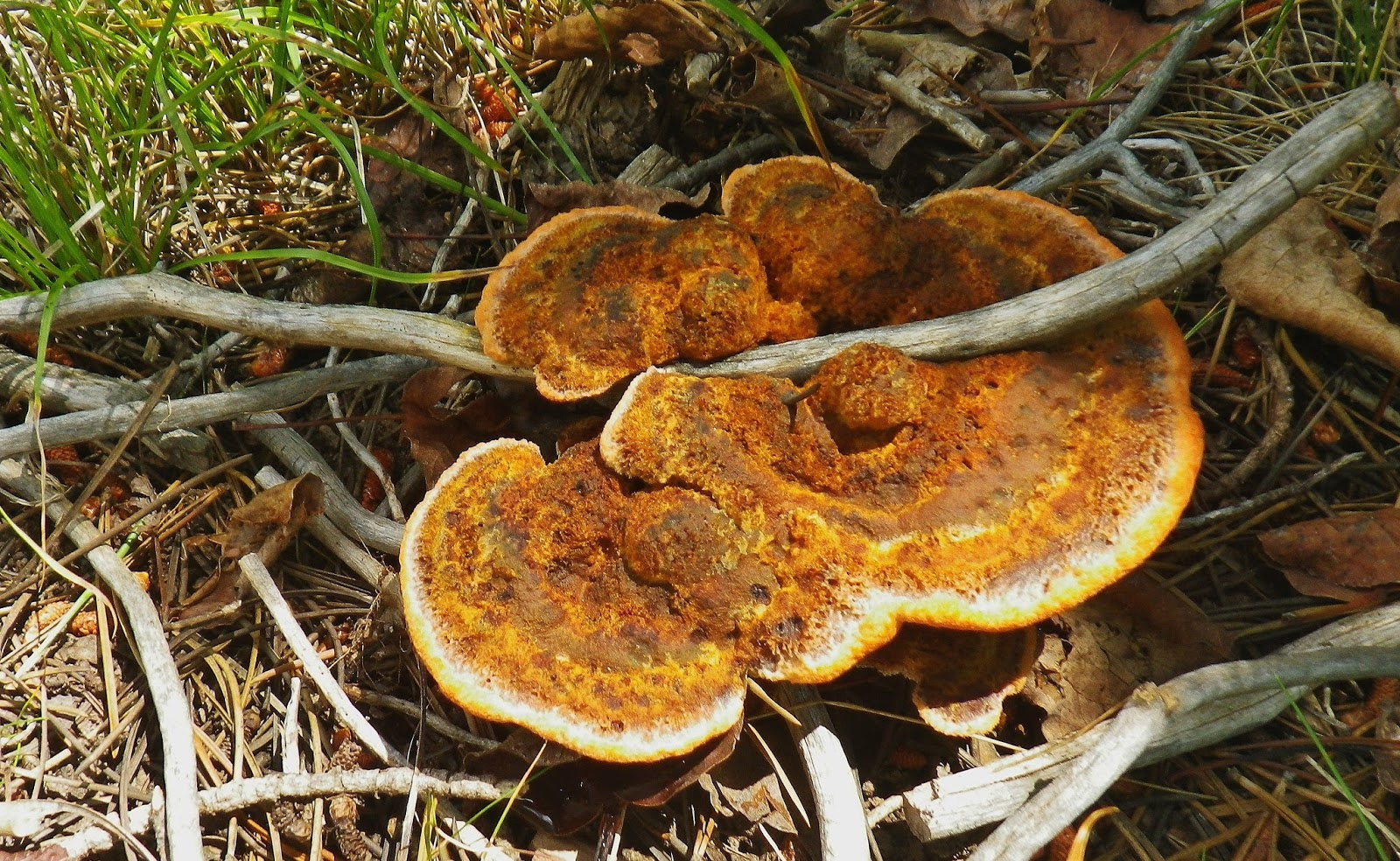
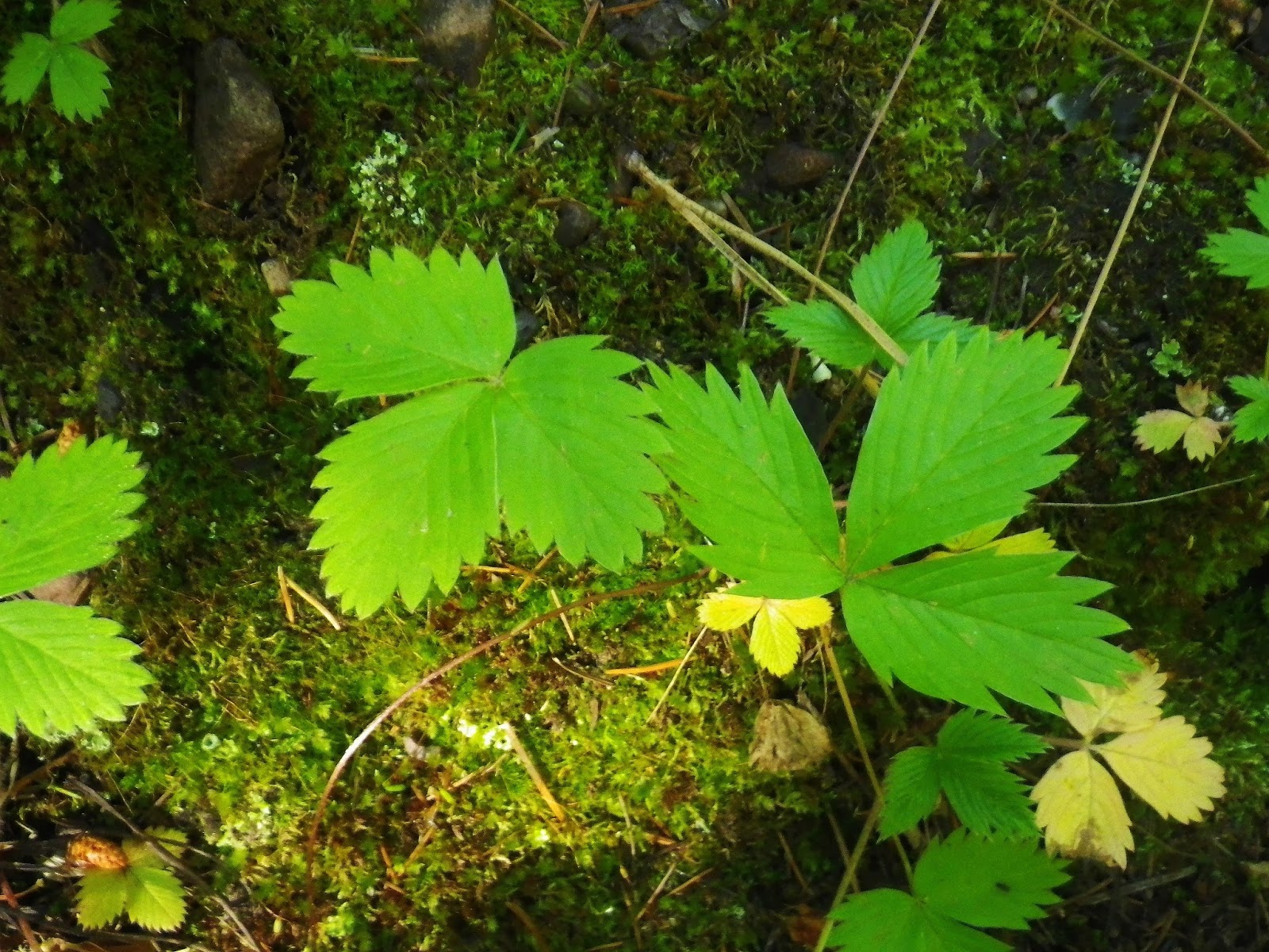
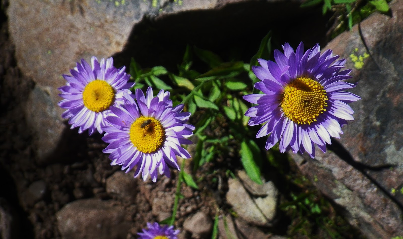
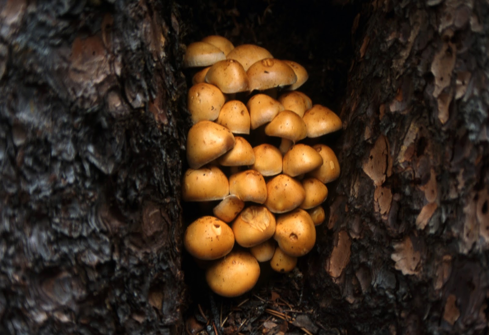
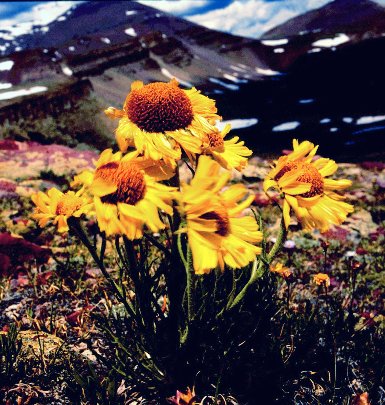
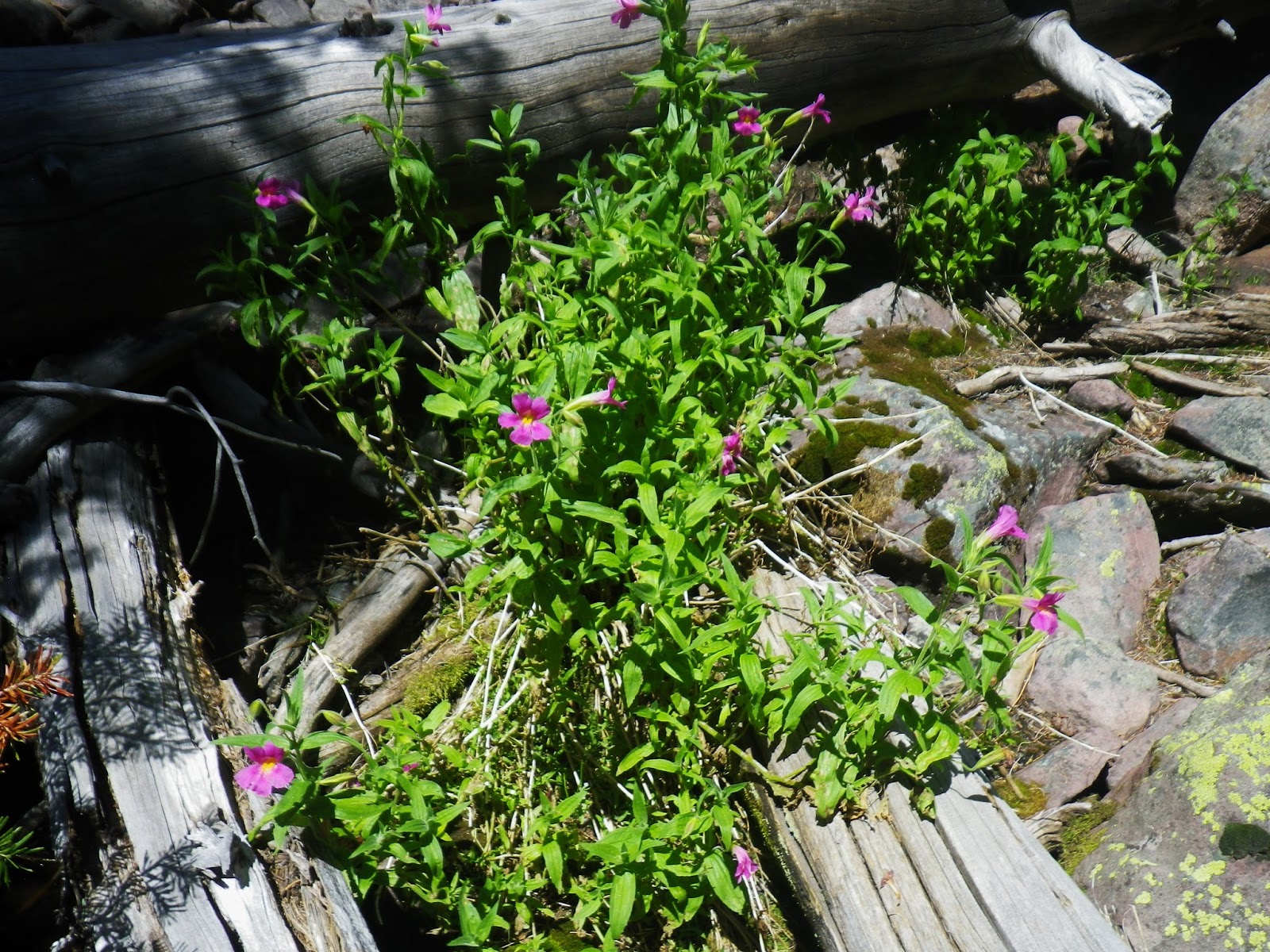
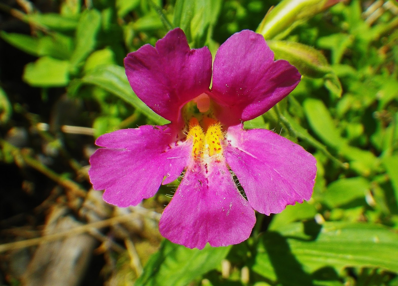
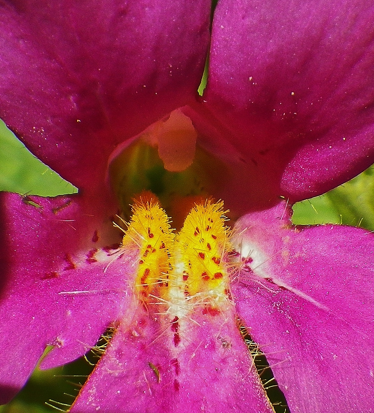
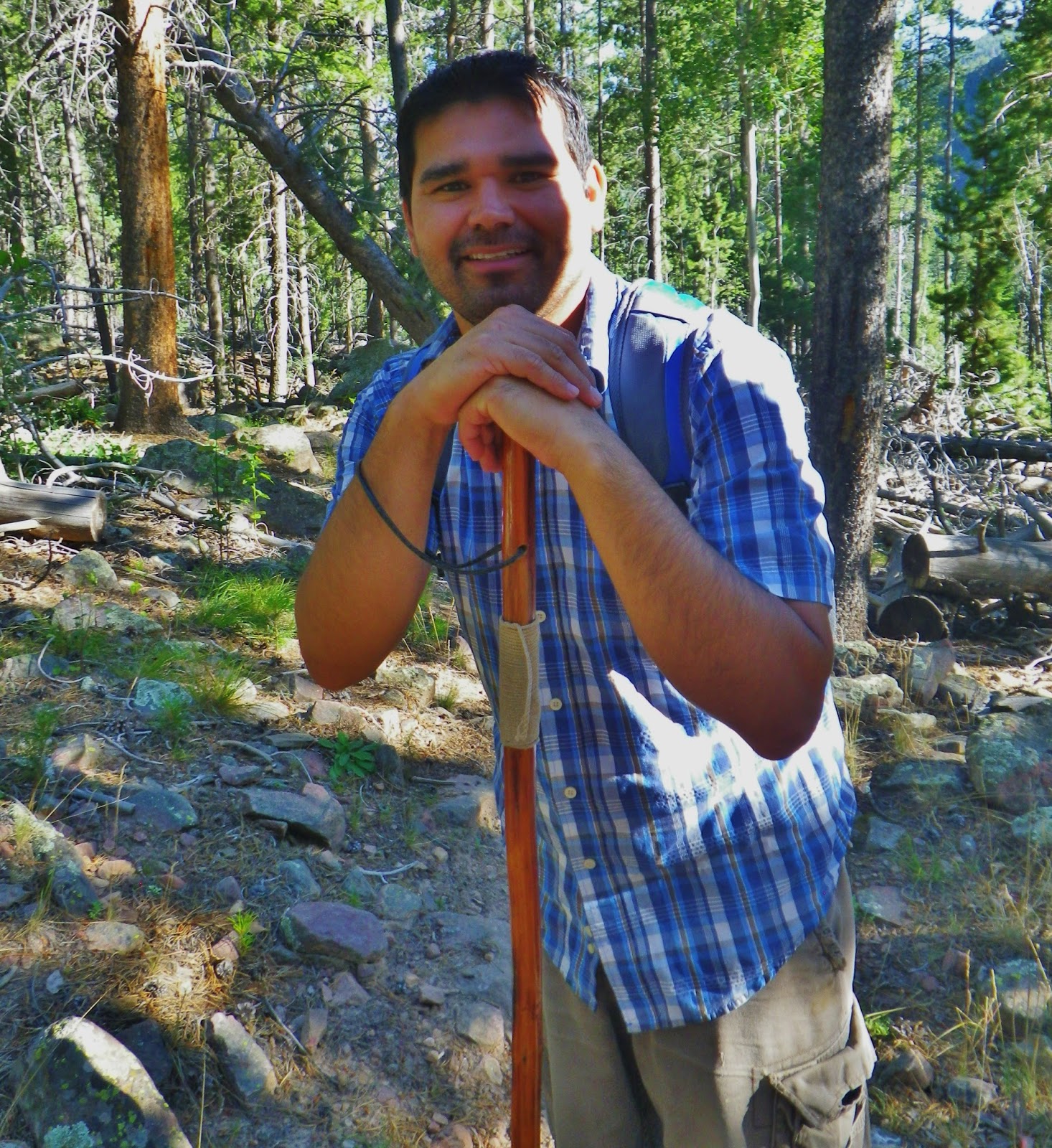
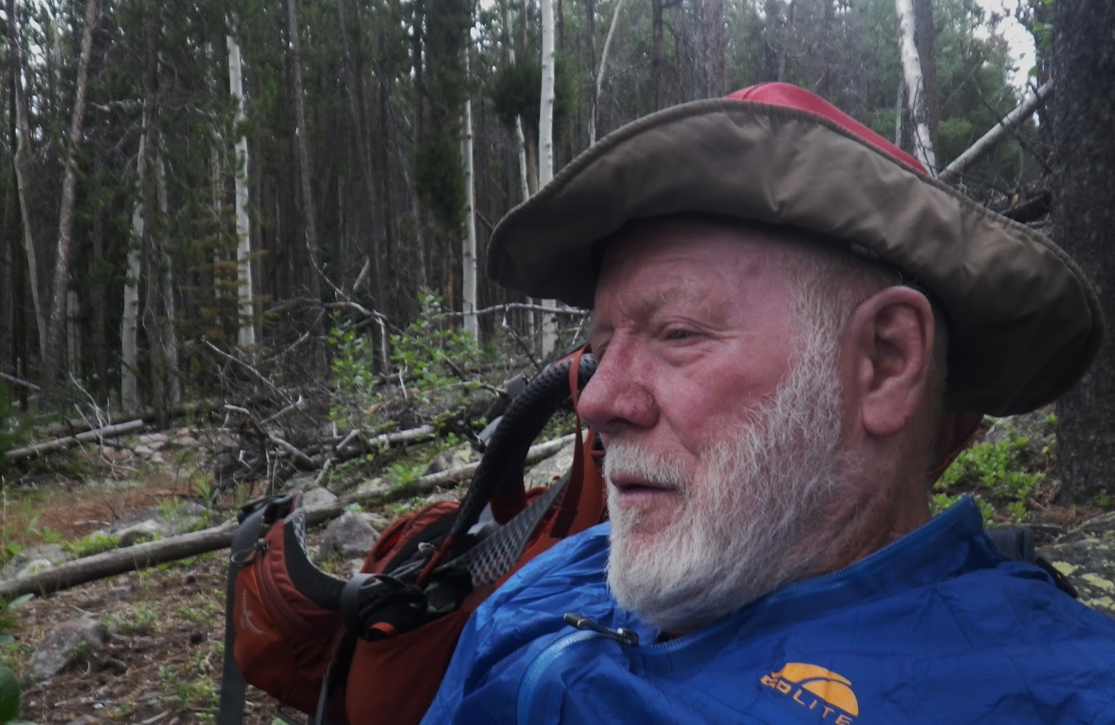
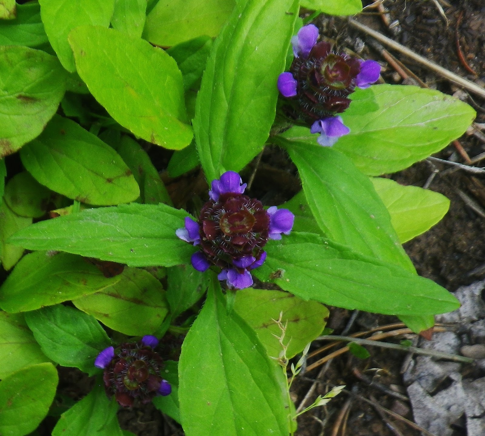
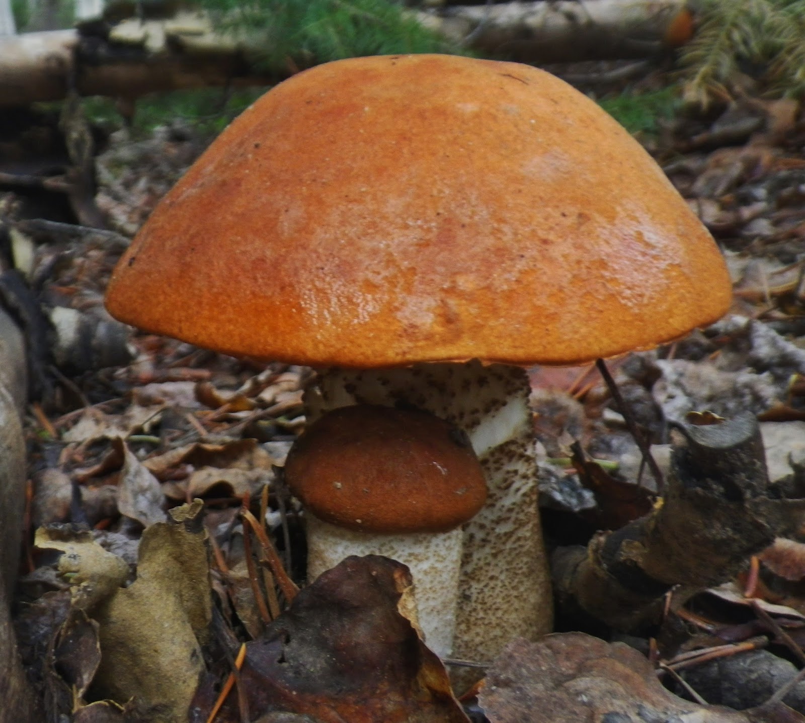
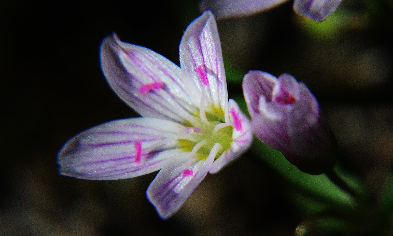
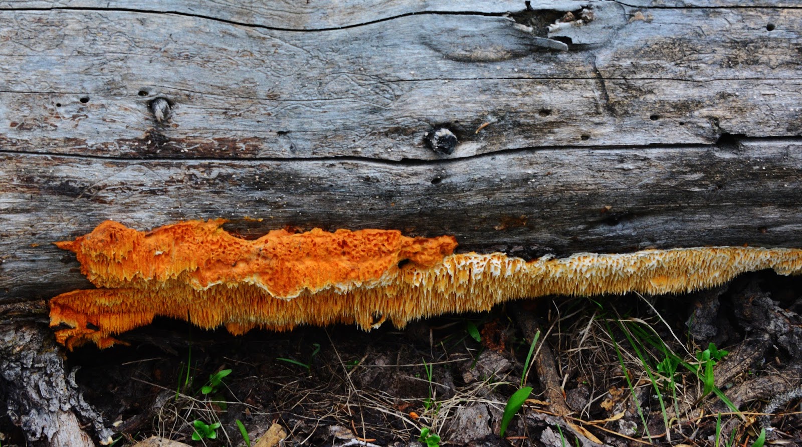
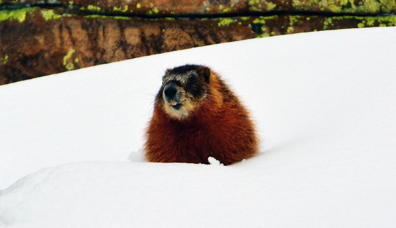
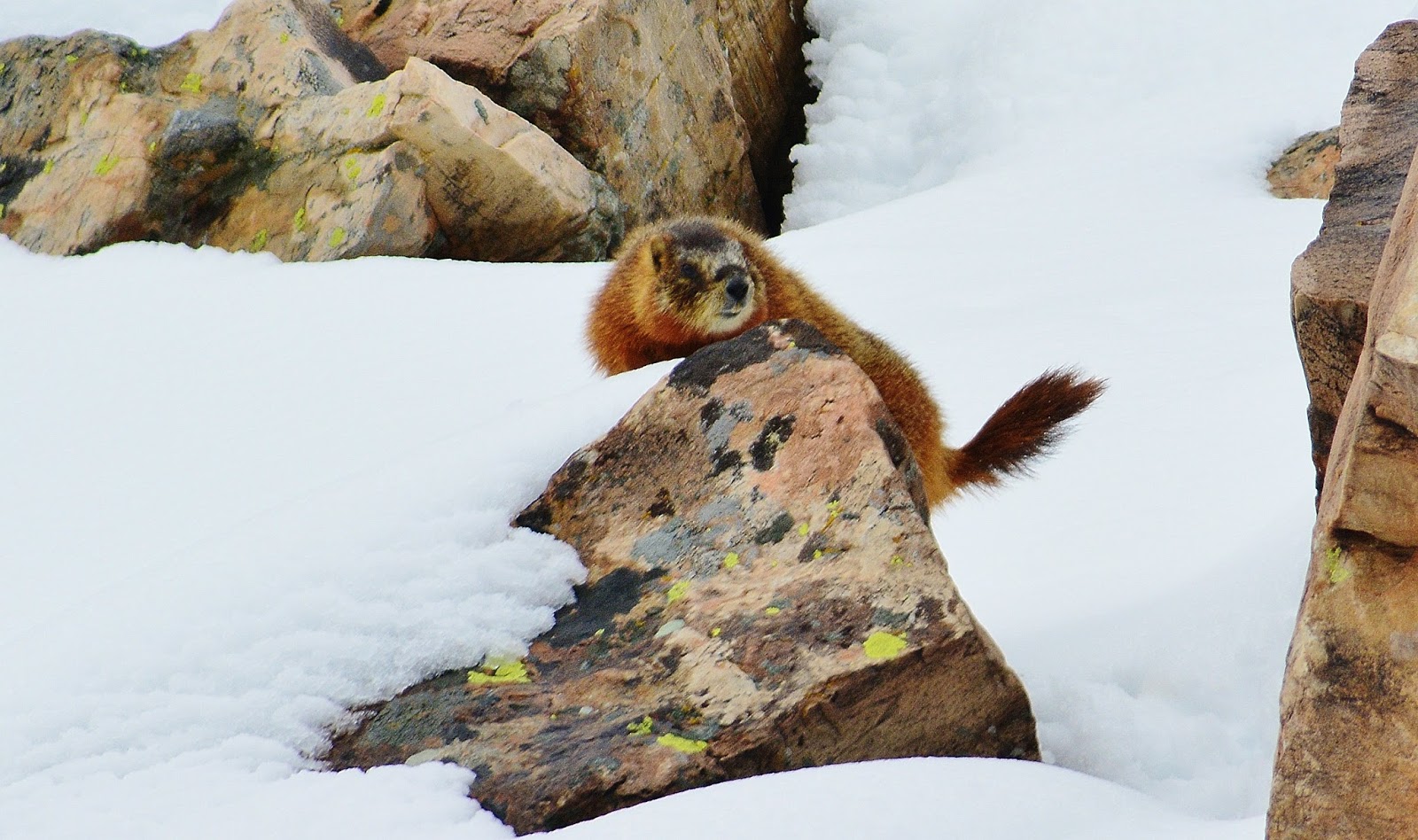
I’m in my 80th year, and I brag about my fastest hiking speed being, “my stalking pace”  which permits me to see and appreciate unending VISIONS OF NATURE, such as SPRING BEAUTY you see above–a tiny little 1/4″ jewel, along with my collection of over 317 varieties–and counting,  of other wildflowers from the foothills of the Uintas to Kings Peak, and  literally hundreds of varieties of colorful and fascinating life forms of the mushroom family like,  ORANGE SPONGE POLIPOR,  we see below.


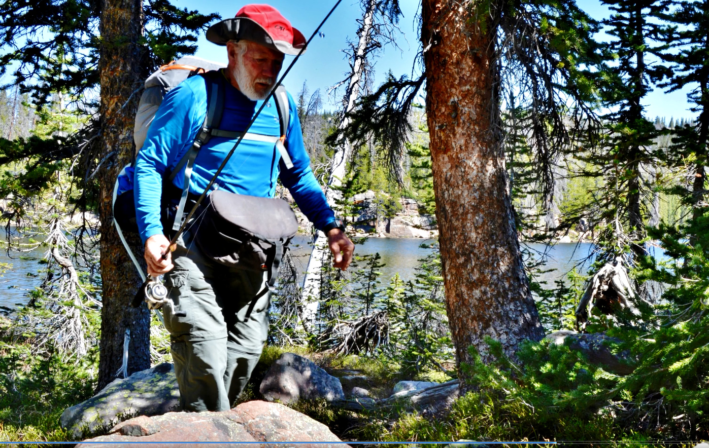
And, once in a while we meet  great backpackers, lovers of the outdoors like Ricky Fowler and his companion, Buddy.

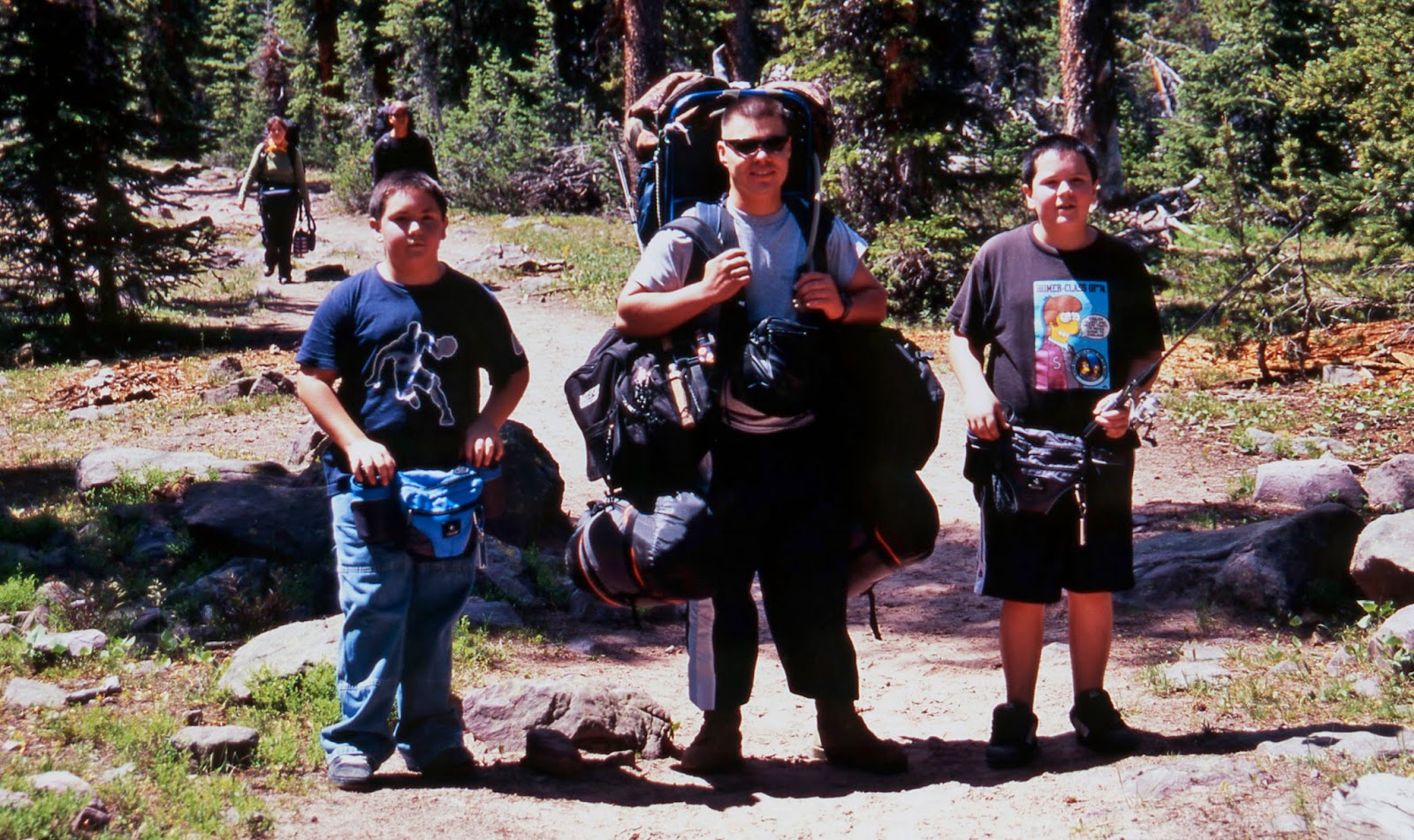
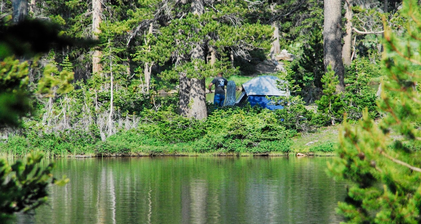
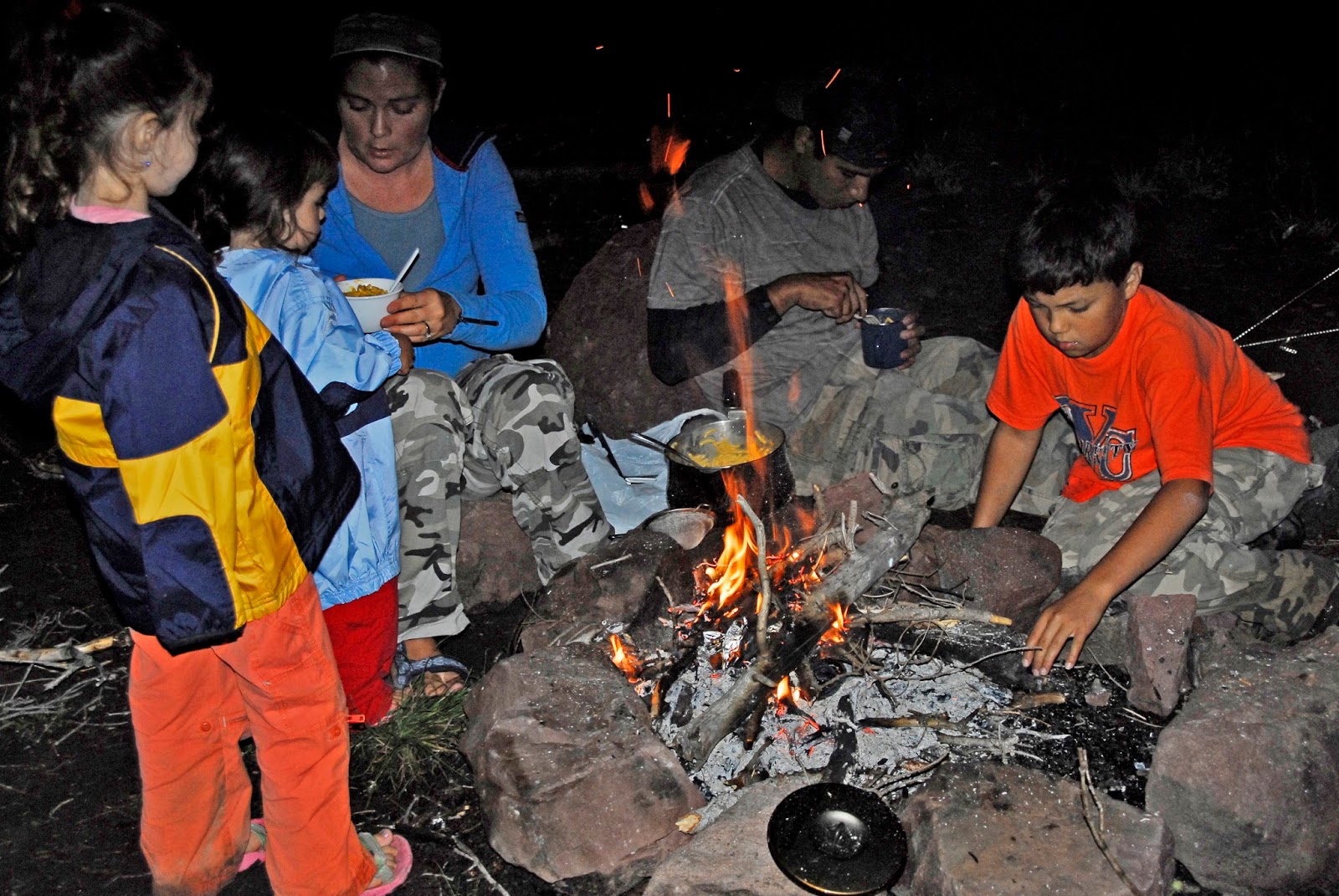
Even a couple of times you would have run into the Annual Andersen Family Backpack that twice has gone into the Grandaddies…..

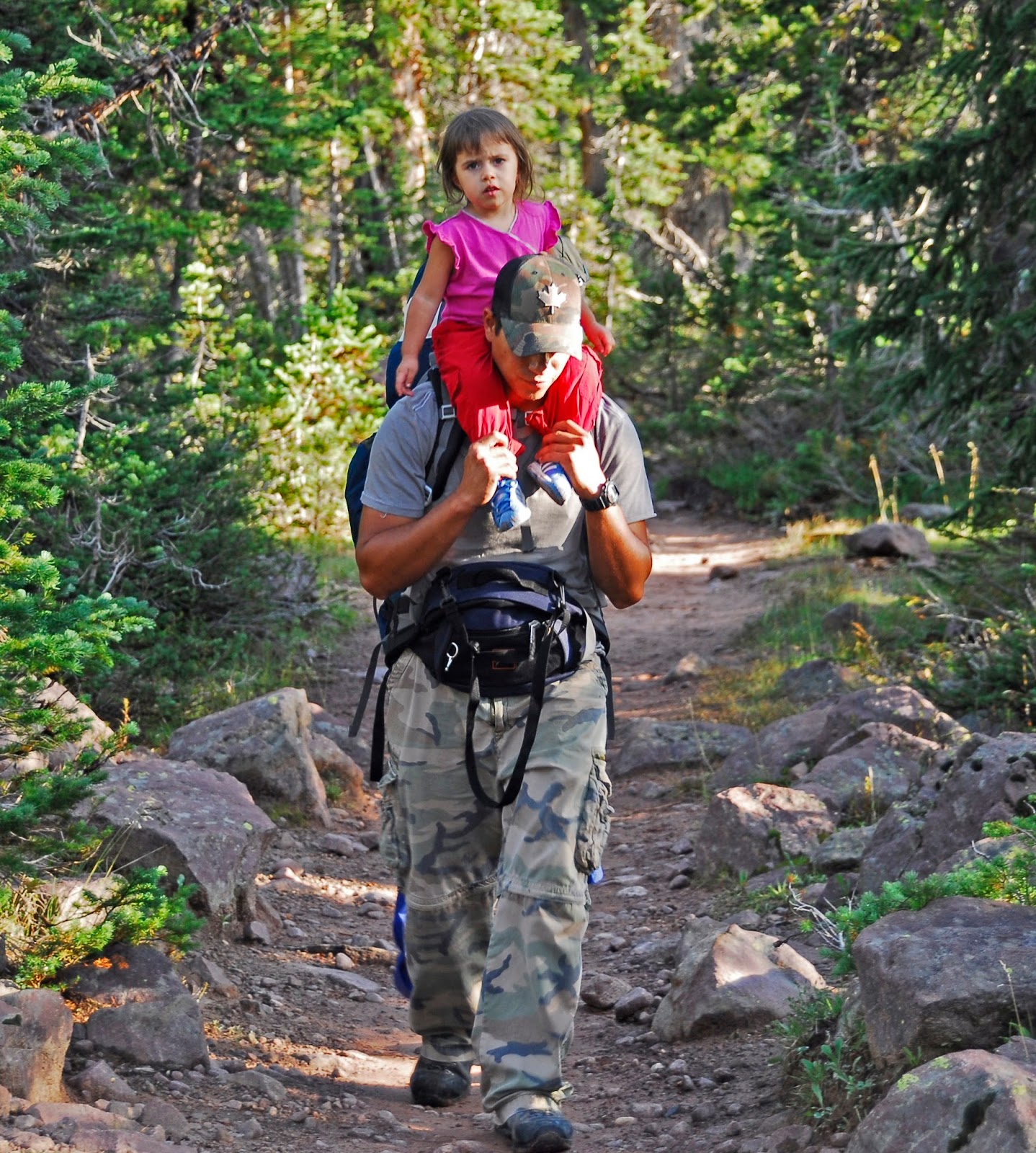
…..this time with a couple of grandsons from New Mexico on their first backpack who needed a little help from my Marine son, Jesse….and he’s loving it–showing how tough Marines are!

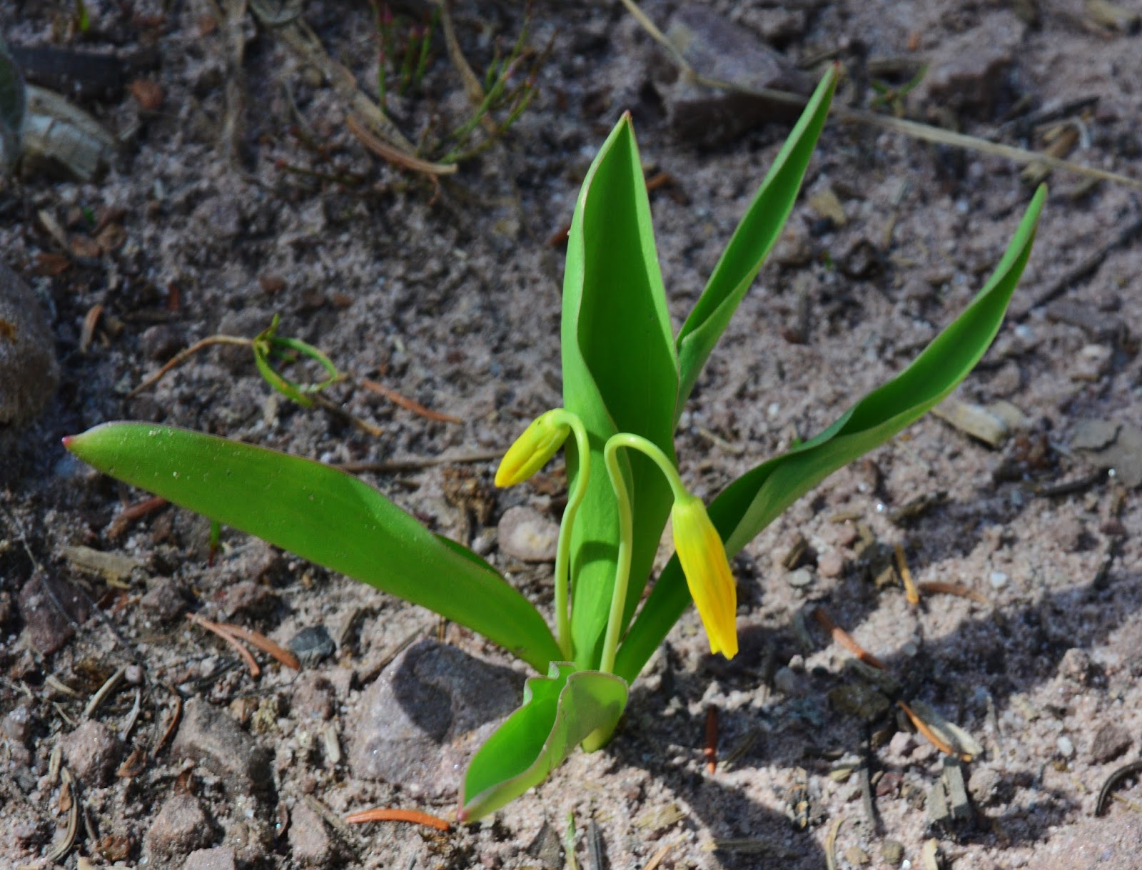
The beautful little yellow flower we see early in the season is GLACIER LILY, or FAWN LILY.  You’re seeing it here like you’d have to see live by getting down on your belly with a magnifying glass!


MARSH MARIGOLD, one of the first flowers in the season, sometimes coming right up out of the melting snow.


I have had the good fortune of meeting literally hundreds and hundreds of great High Uinta Friends on the trail……

….such as the Phillips Family we see above.


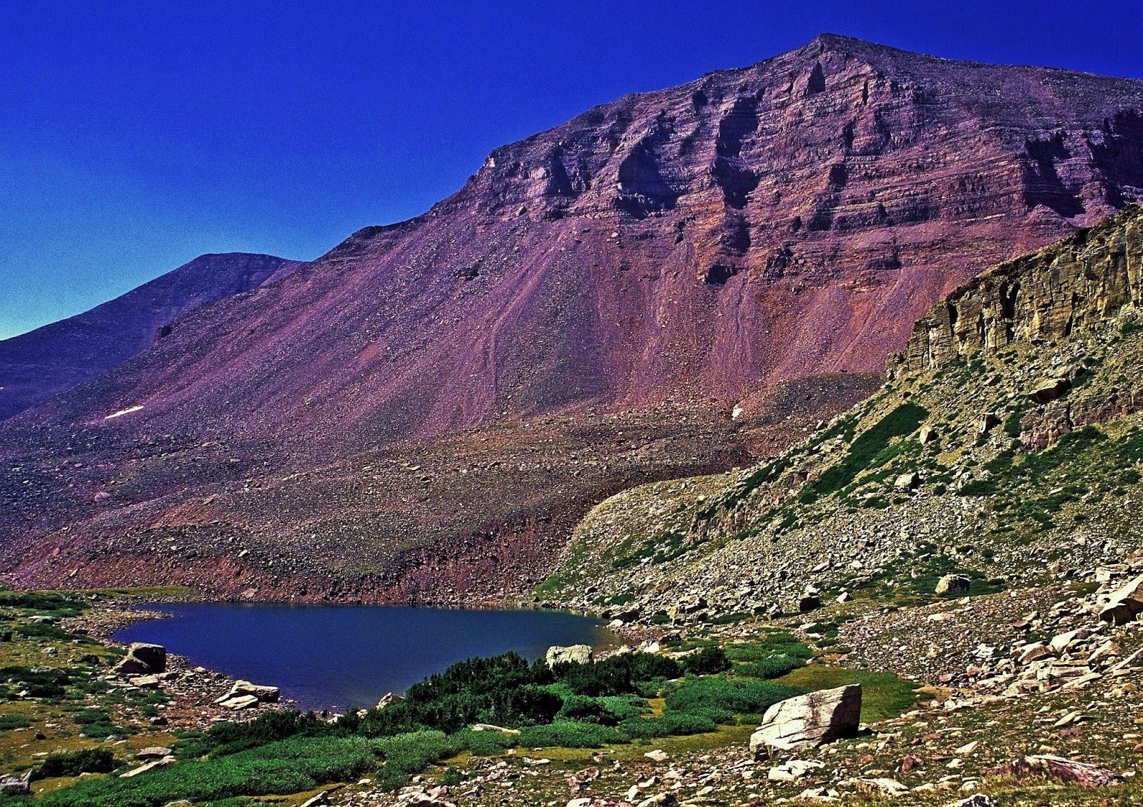
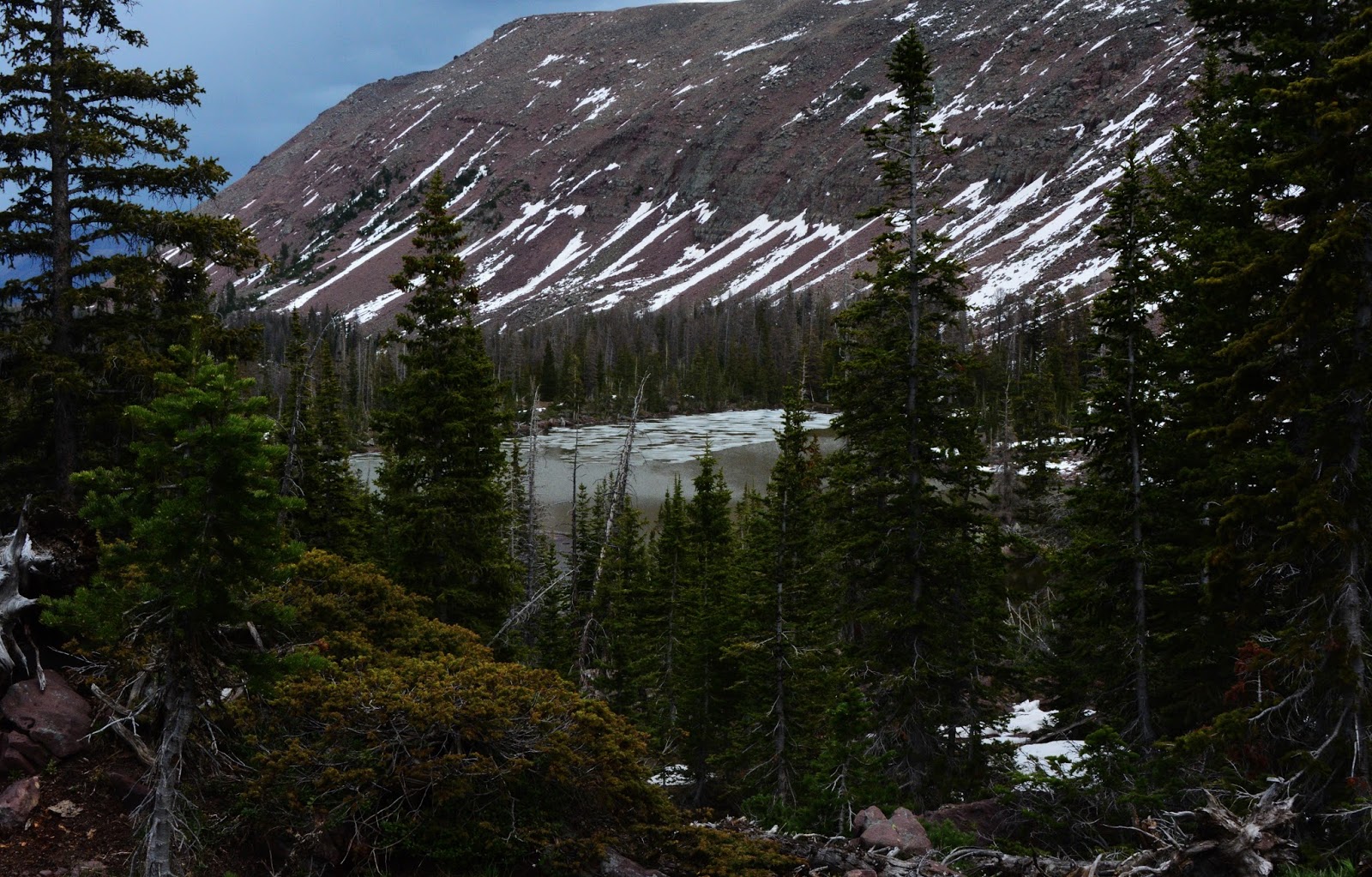
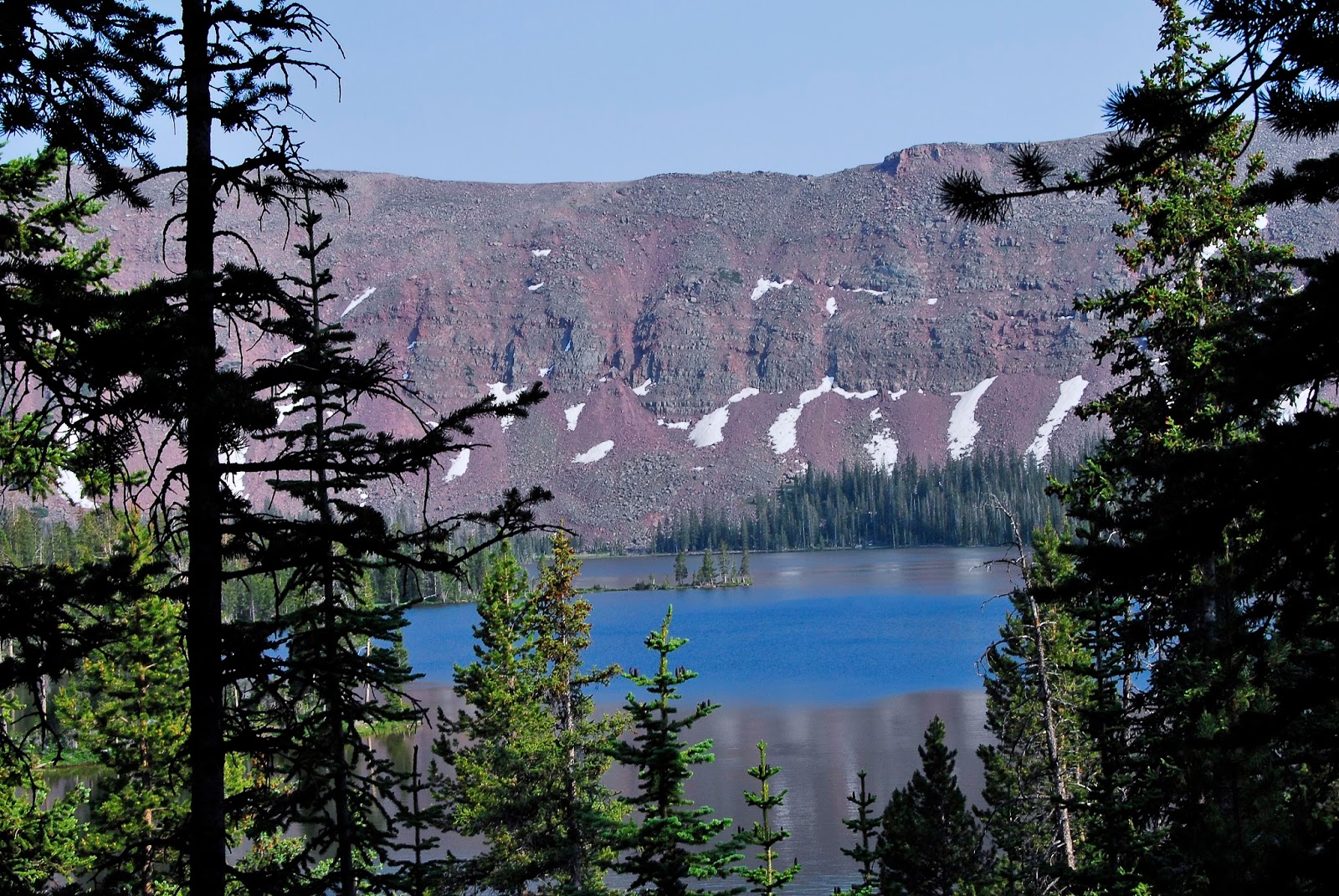
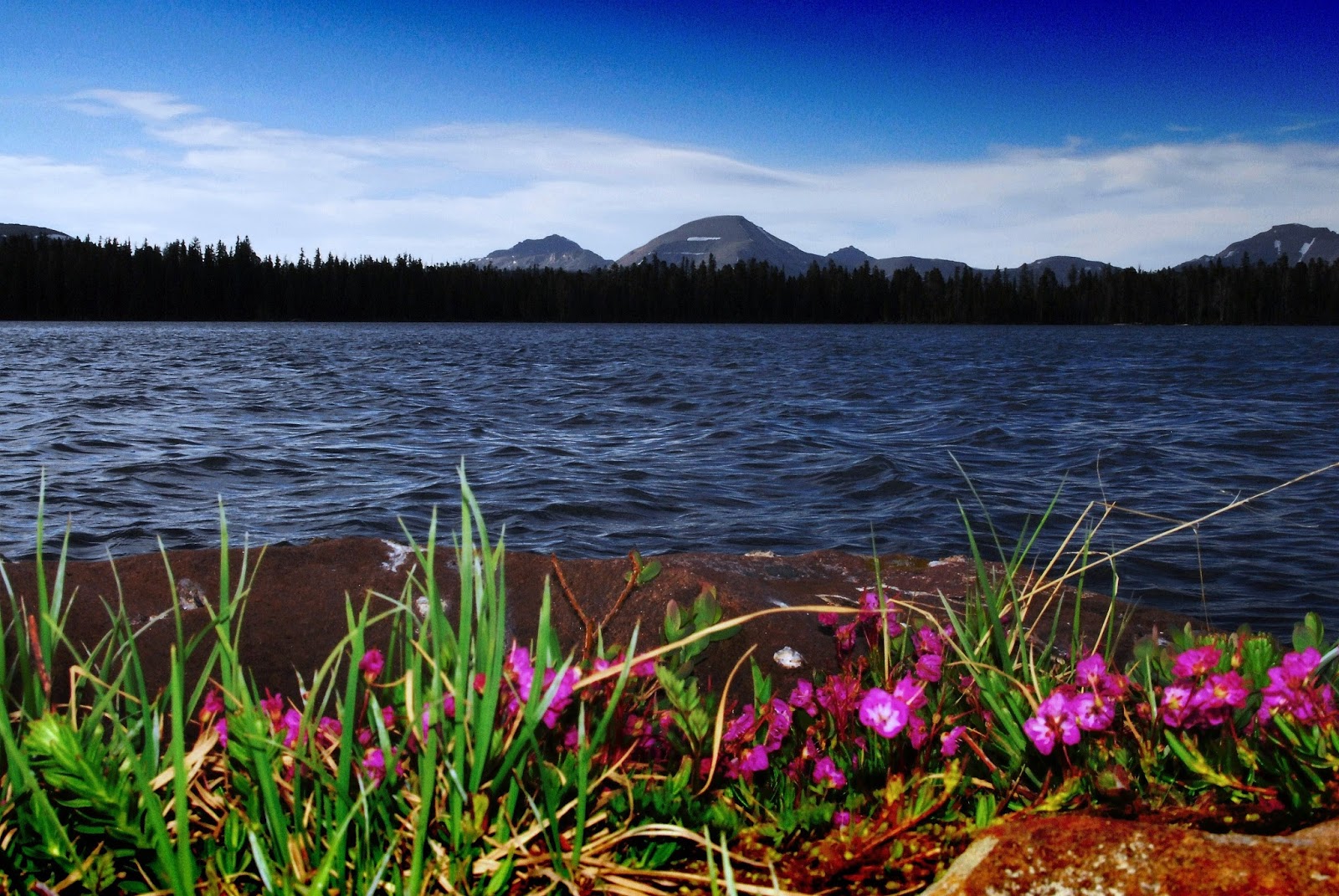
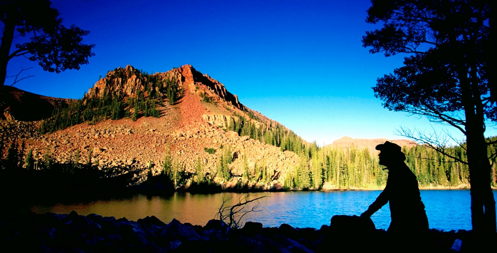
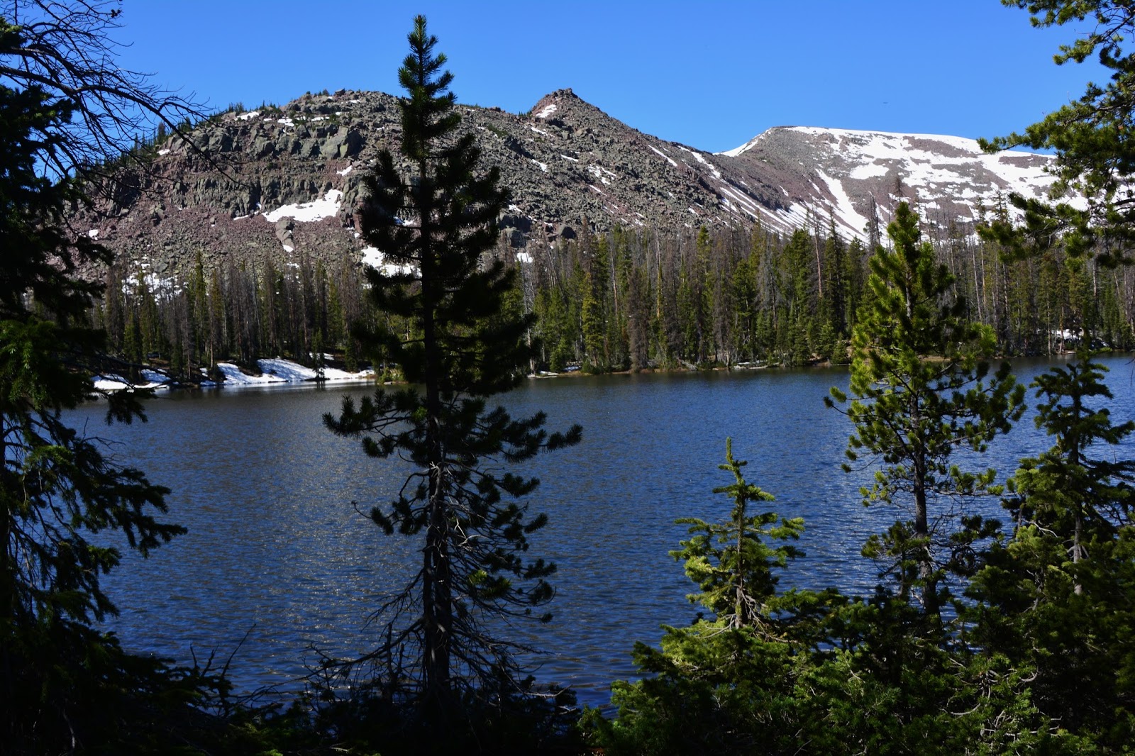
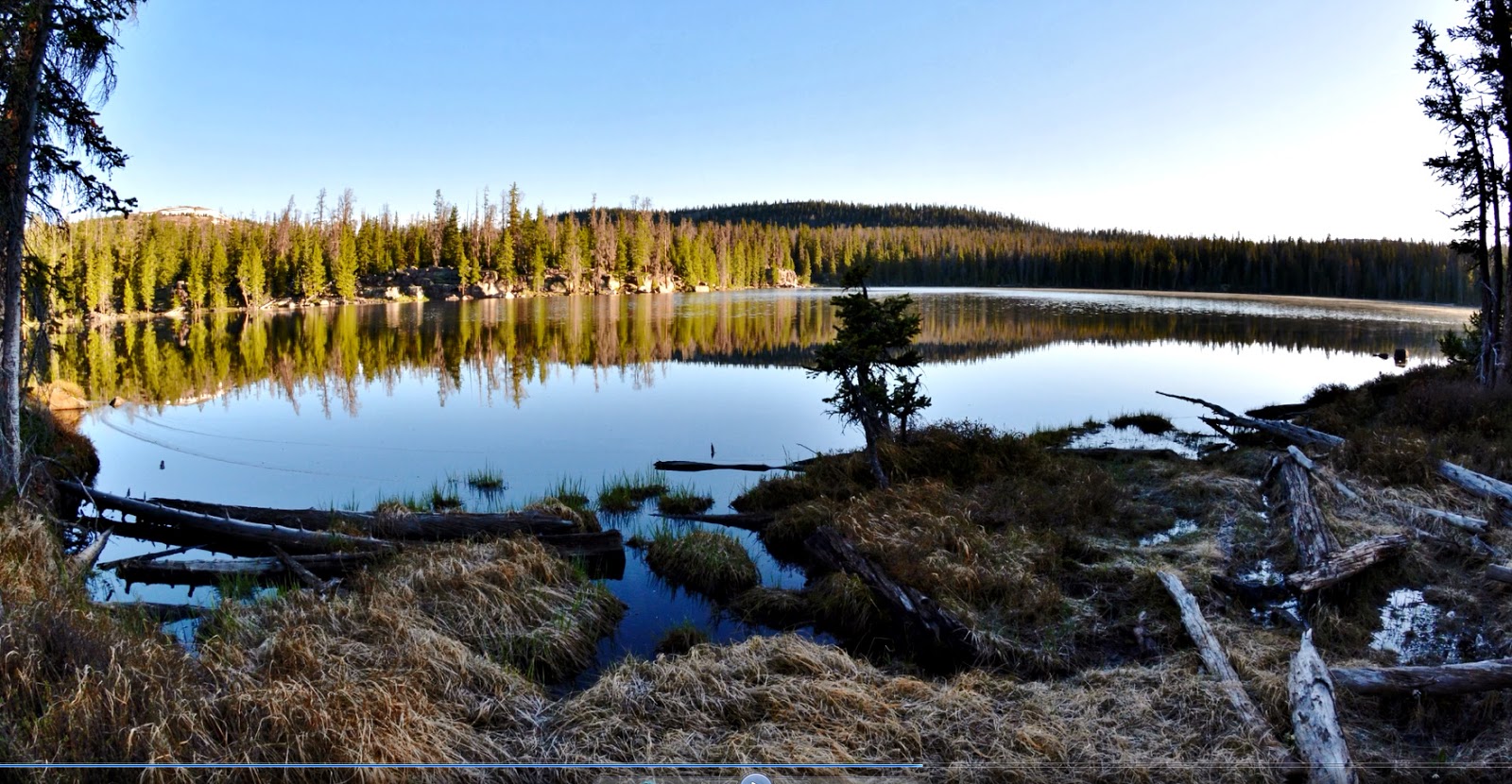
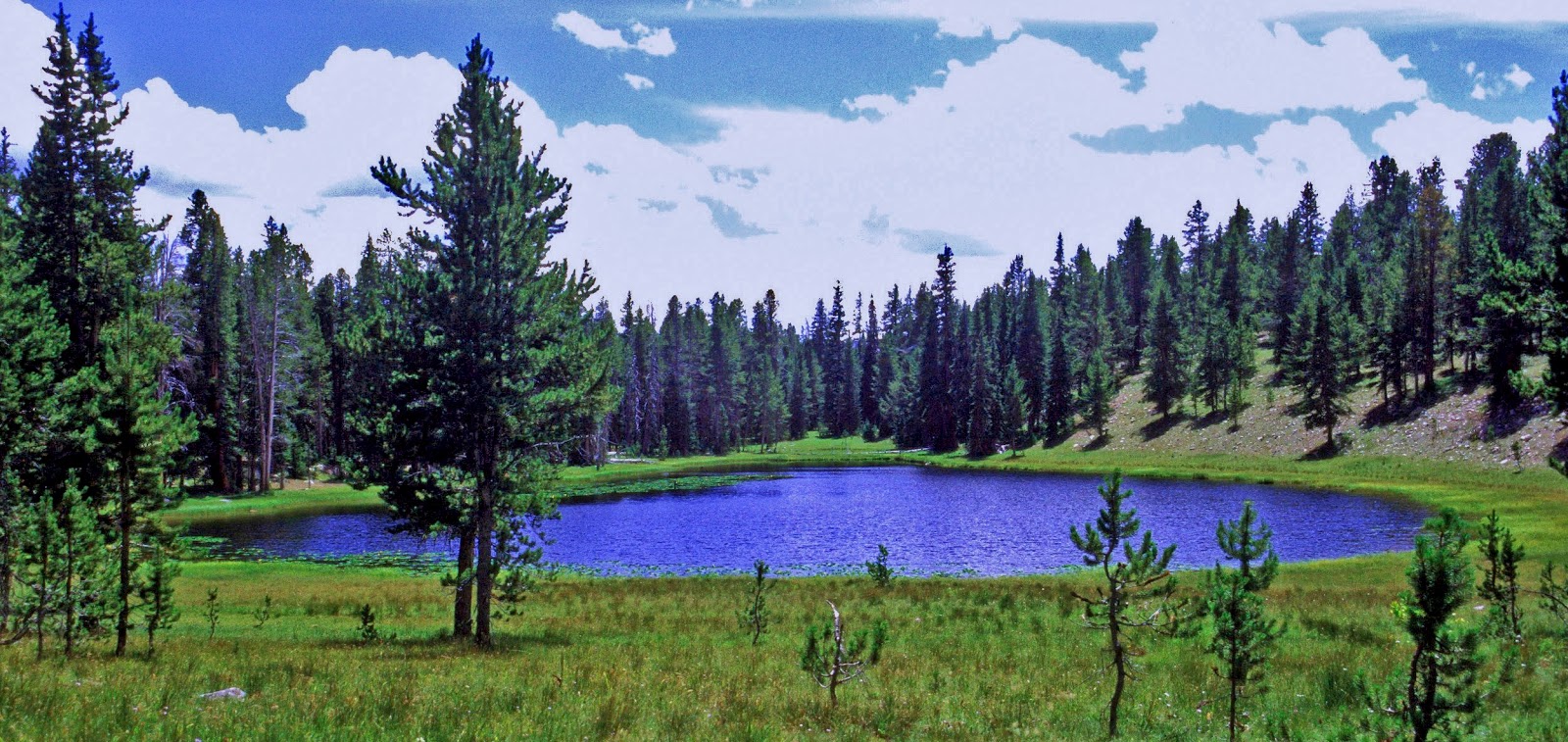
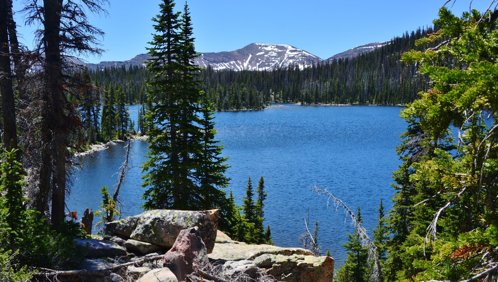
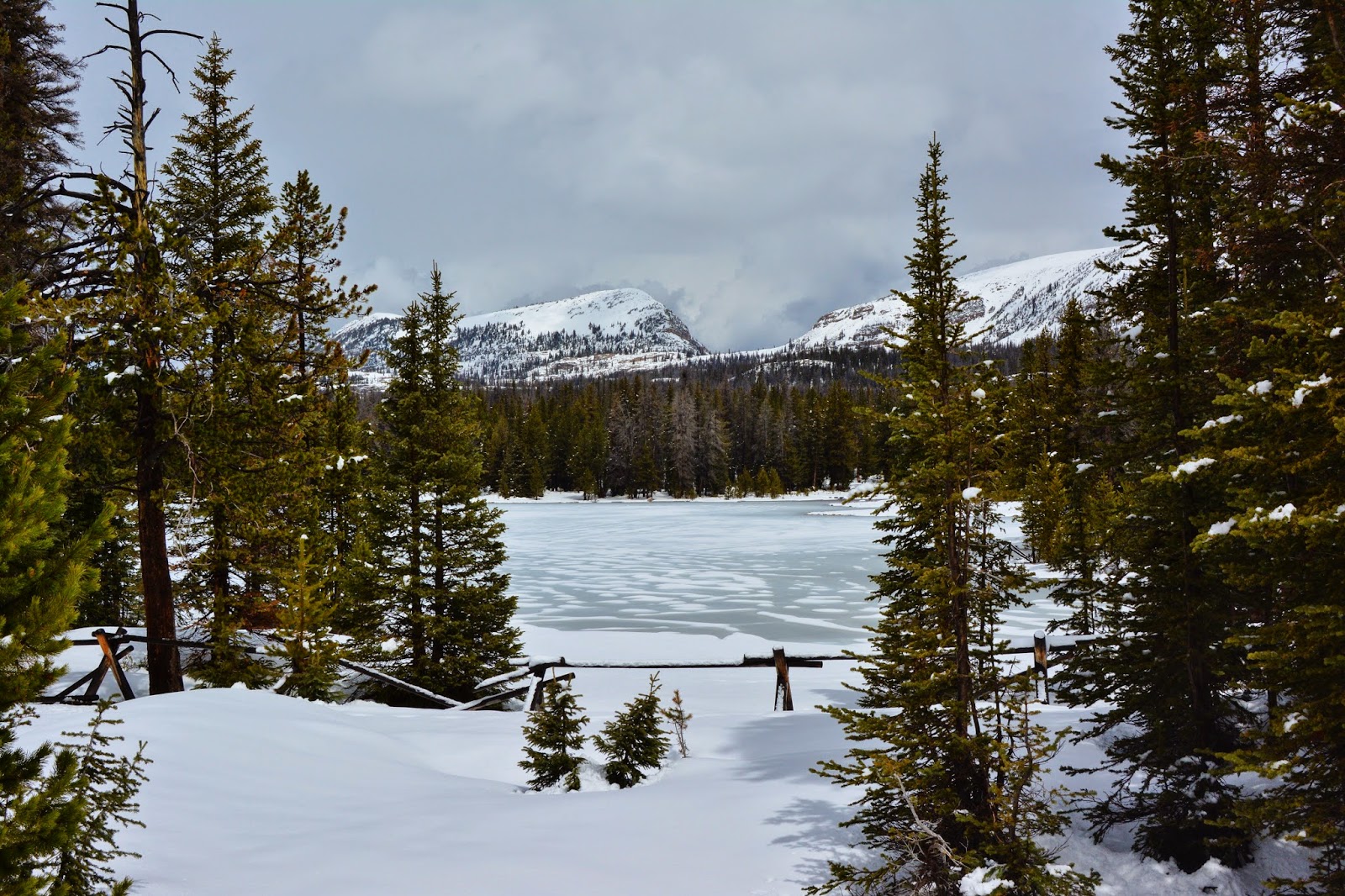
We have now come to Hades Pass and begin dropping down seeing first Heart Lake, that on June 15, 2015 still had a little ice left.

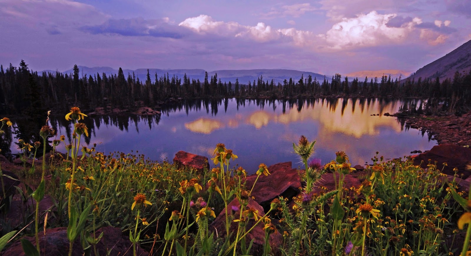
Here we see HEART LAKE in better times….even showing, sort of, its heart shape.    It will be our 
LAKE #1


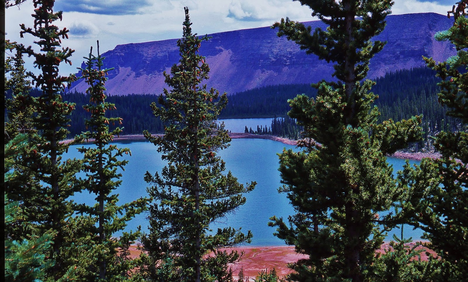
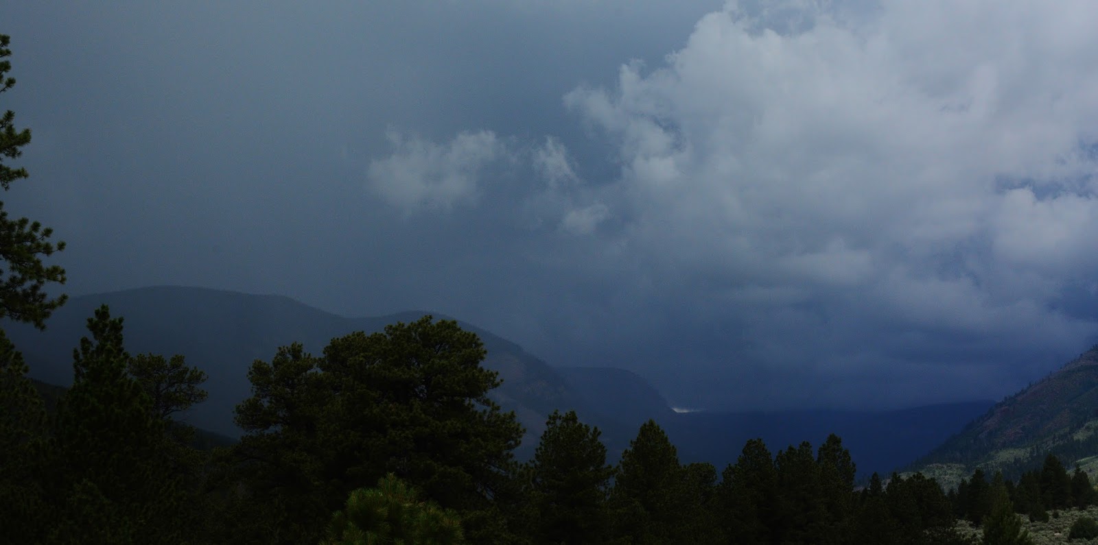
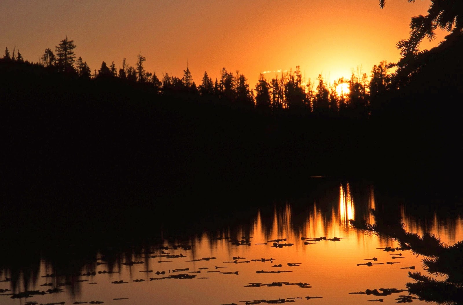
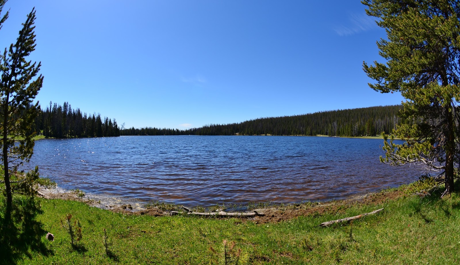
As we continue down into the Grandaddy Basin, we get a glimpse above of  GRANDADDY LAKE….with an overcast sky that is darkening with rumblings of a storm to hit soon.

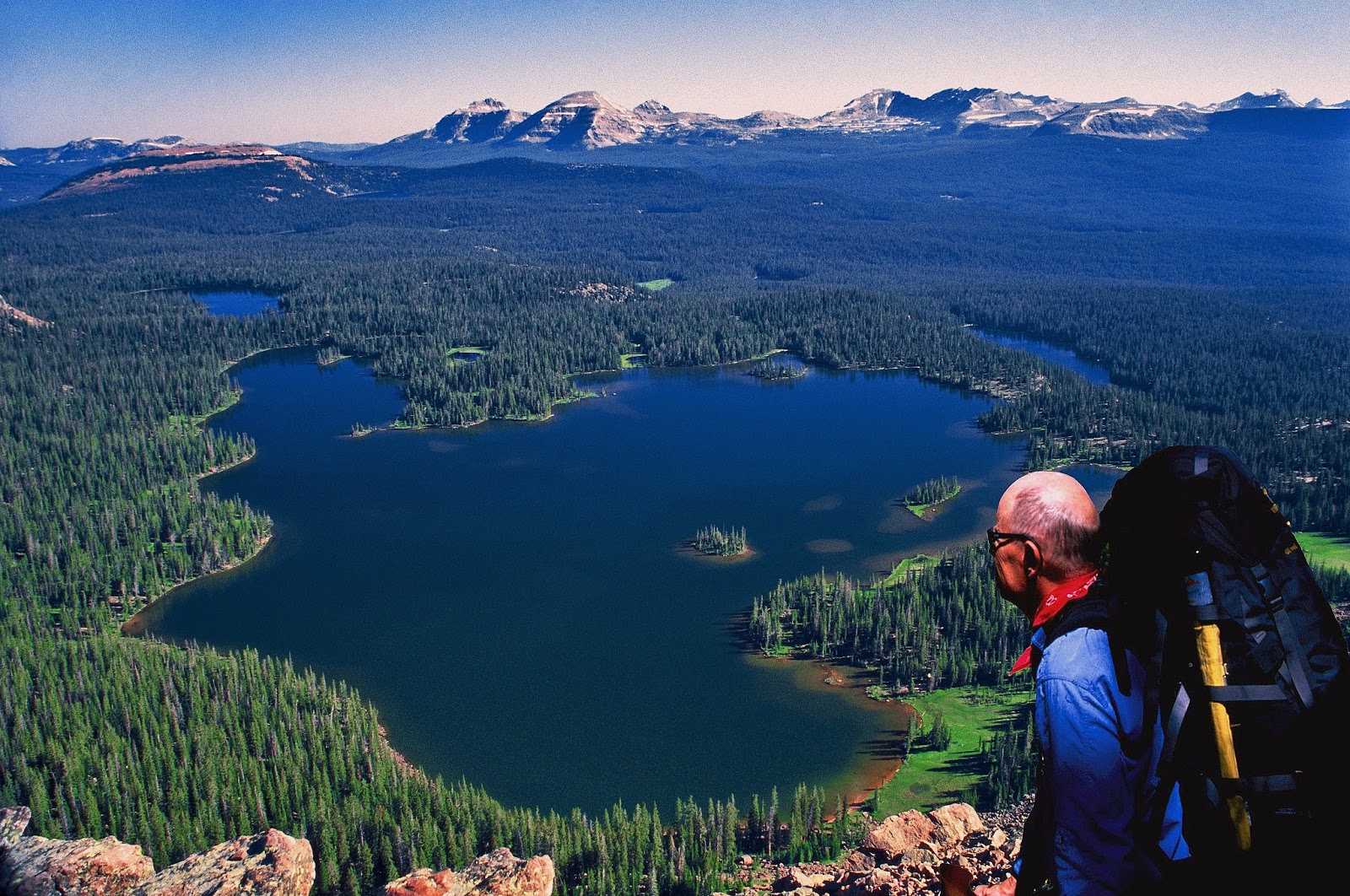
So GRANDADDY LAKE,  being admired by my eternal backpacking buddy, Ted Packard, again  from up high on East Grandaddy Peak will be our
LAKE #2

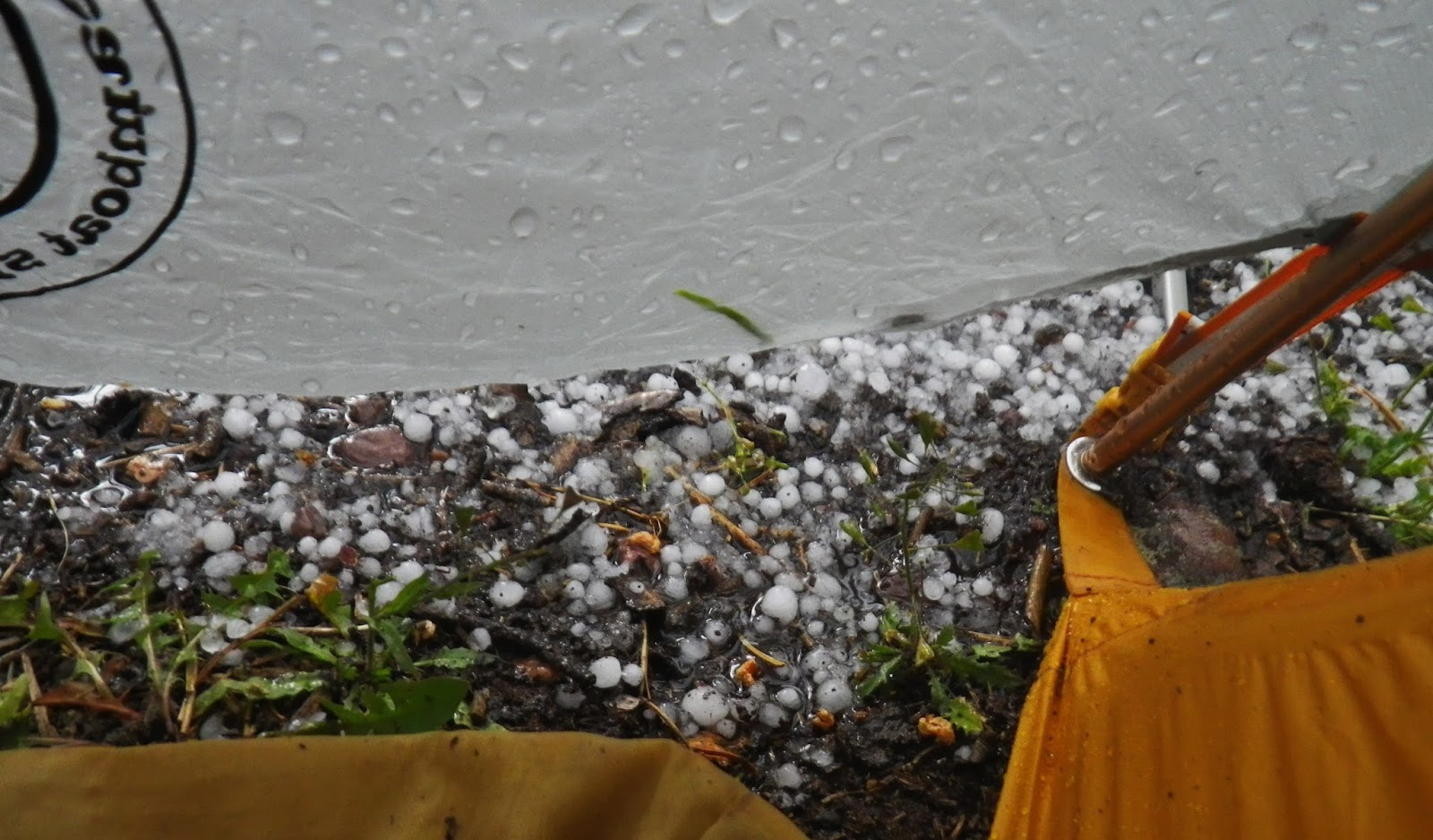
Then the  storm releases its fury on us, but…..

….good backpackers, like Mahana Andersen, are ready for it with proper gear, and apparently REALLY LOVES IT!

So again we glance at the GRANDADDDIES on Google Earth see and the lakes we will get to know.

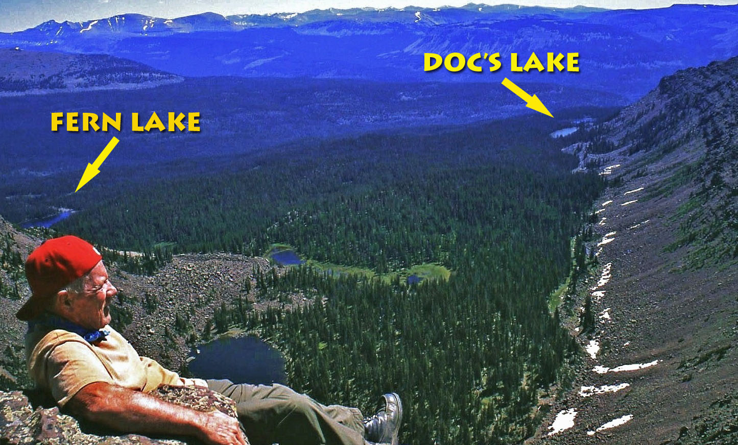
From the very top of East Grandaddy Mountain, I’m looking at the next two lakes we will visit:  FERN LAKE and DOC’S LAKE.


To get to them we drop back down to Grandaddy Lake and begin circling the west side of the lake, searching for the streams that enter the lake.


T
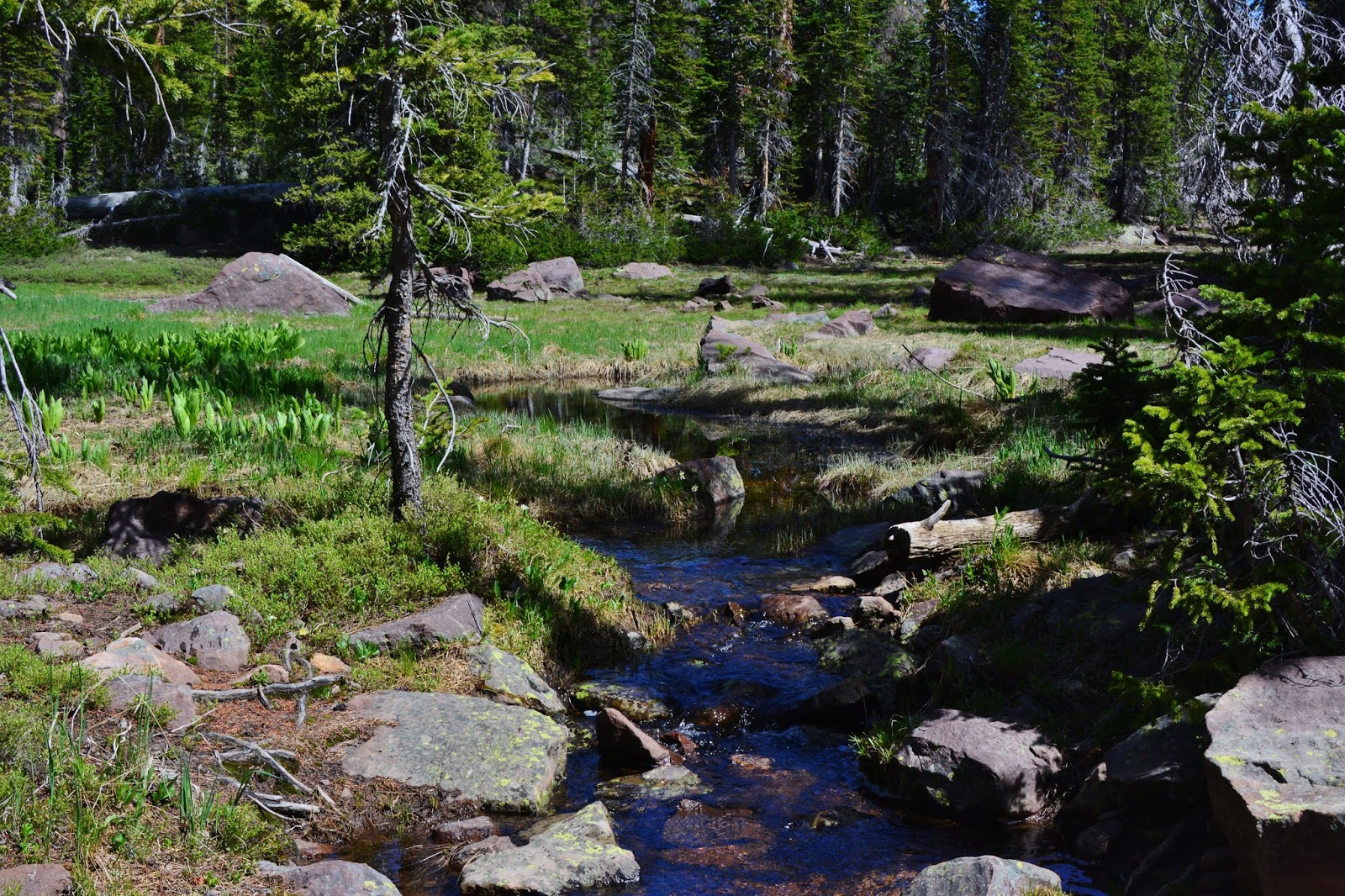
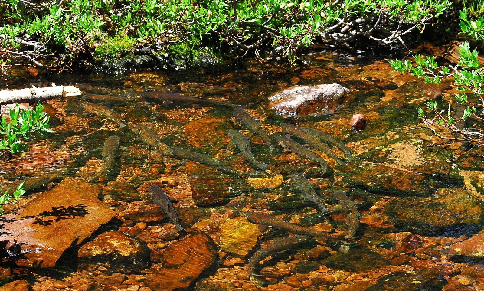
There are three of them that offer us another wonderful VISION OF NATURE in the later half of June and early July when hundreds and thousands of native cutthroat trout come up from the lake to spawn.


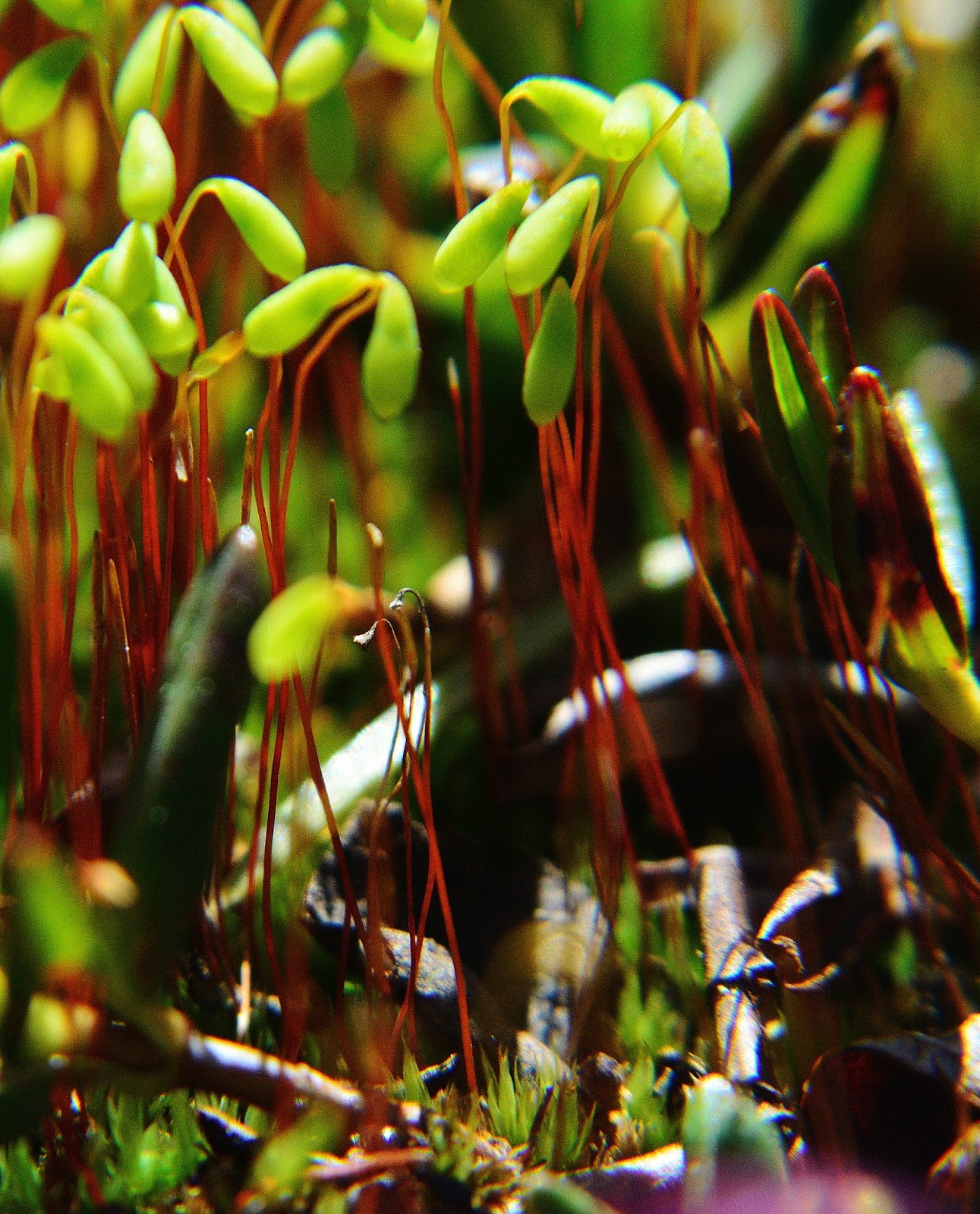
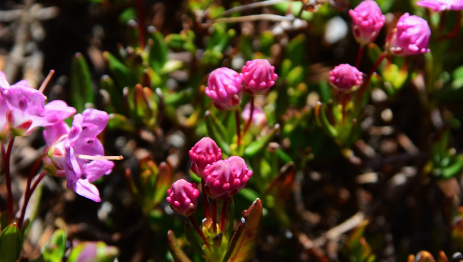
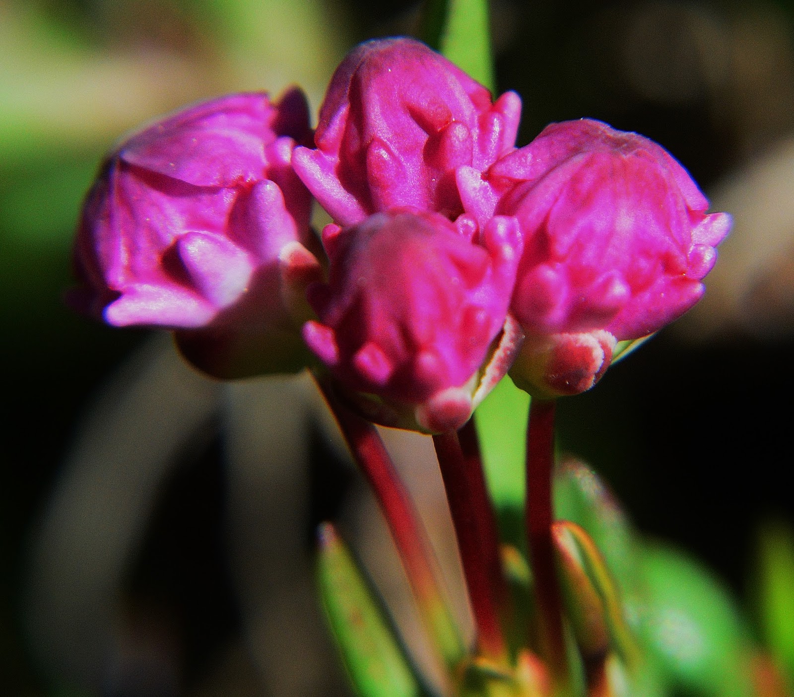
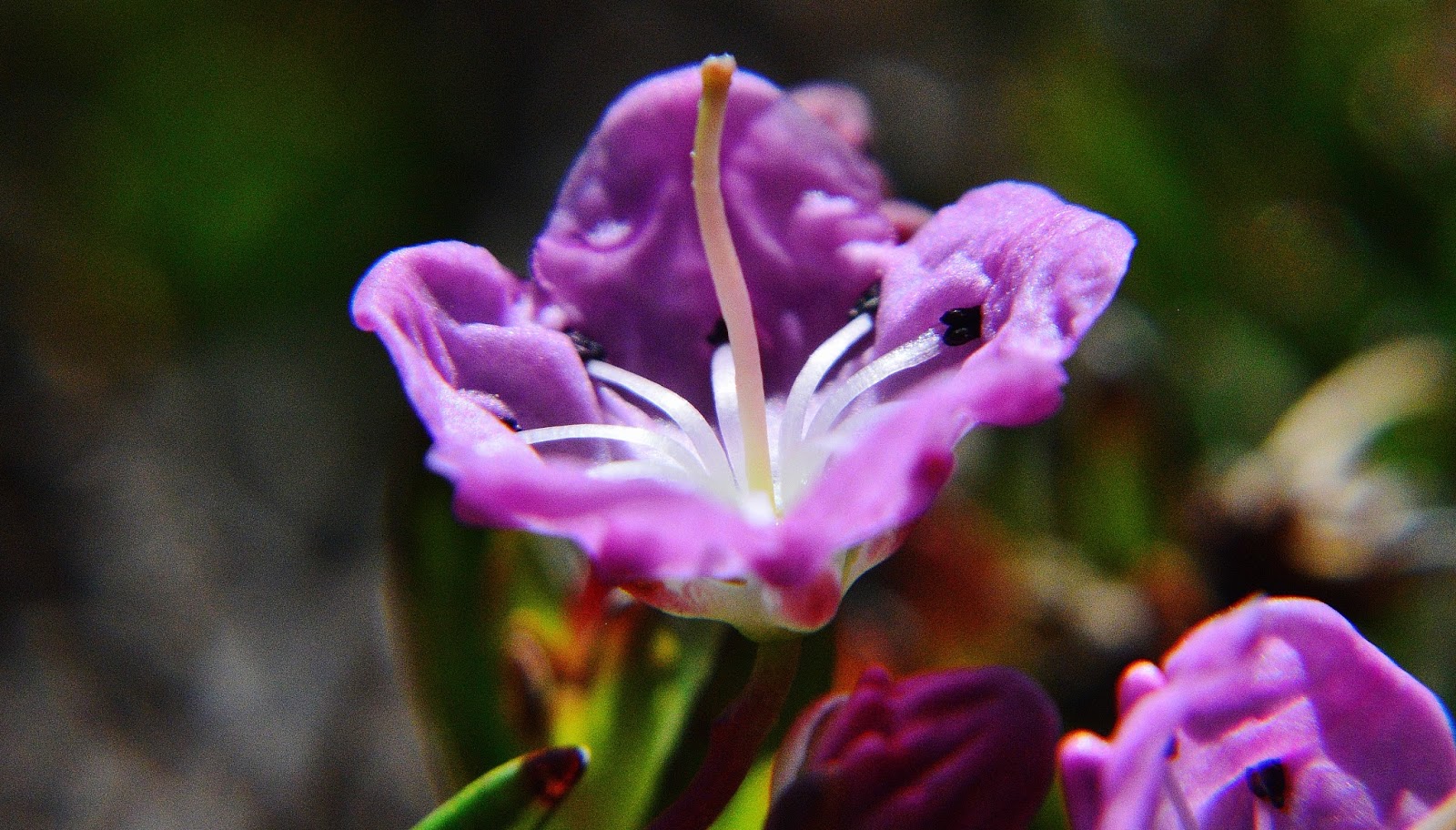
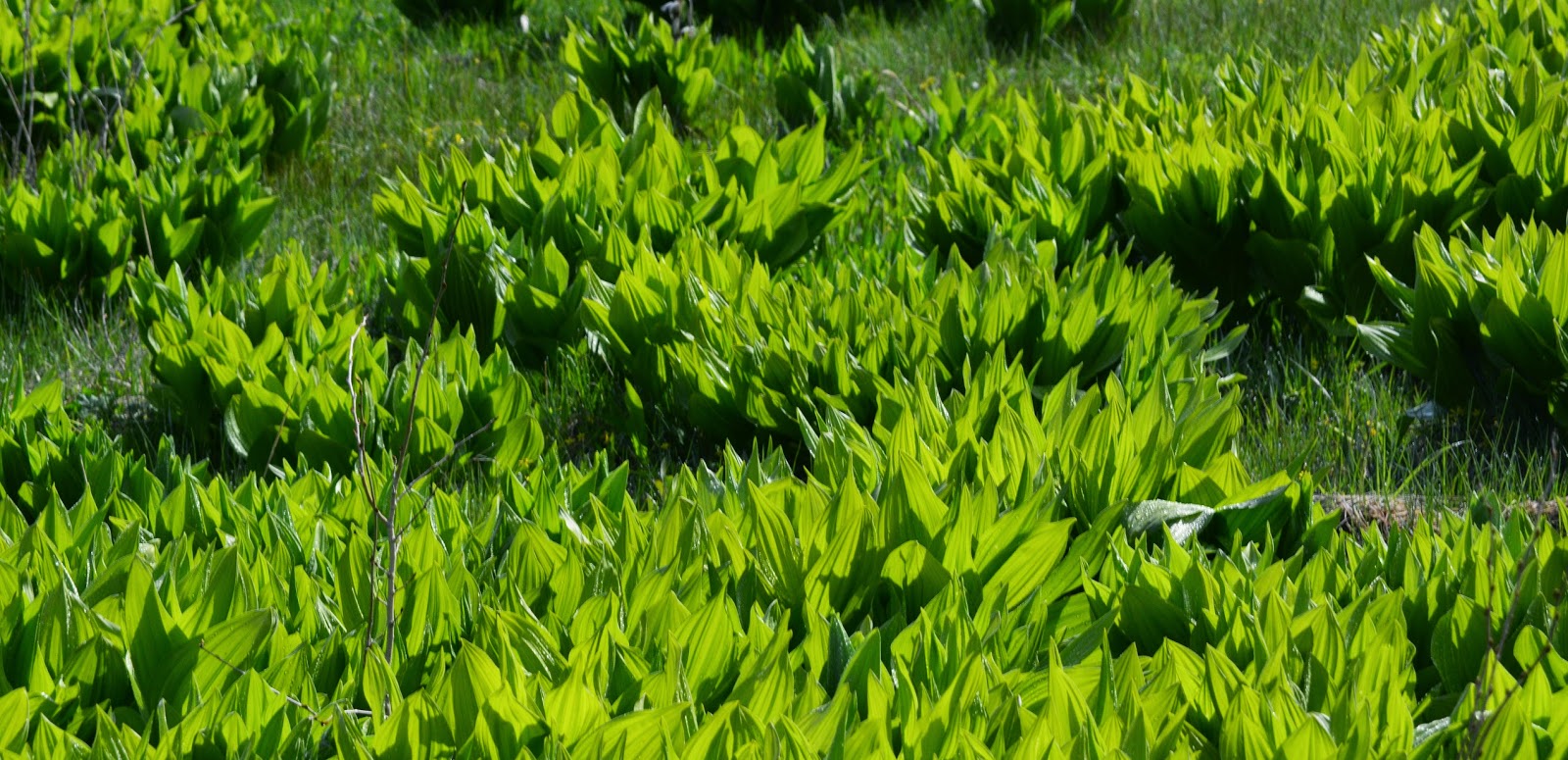
We continue to work our way around Grandaddy Lake with Mt. Agassiz seen to the north, and a jewel of nature at our feet–BOG LAUREL, we will see it like never before a little later.
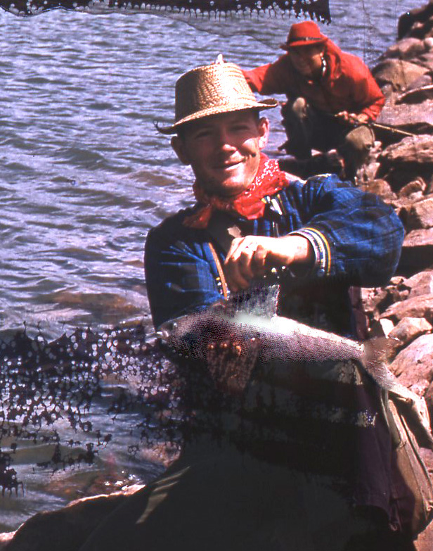
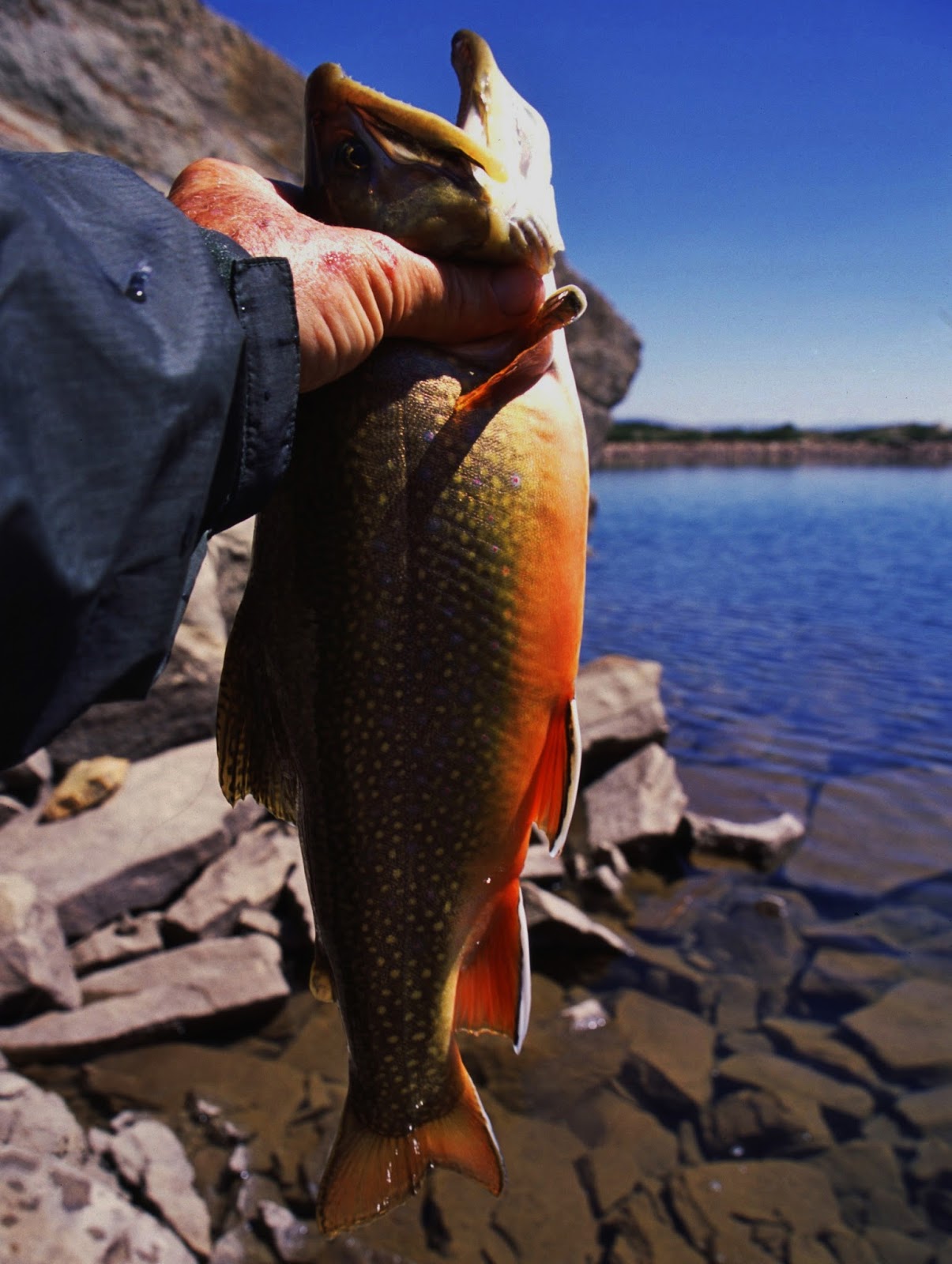
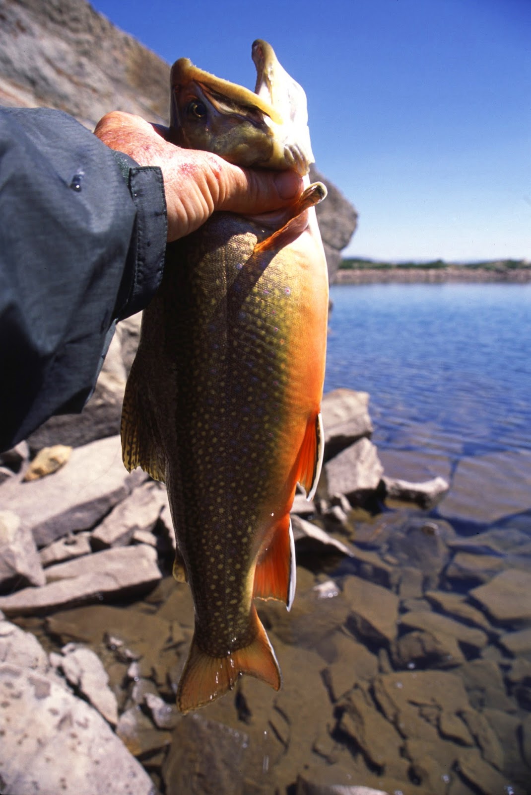
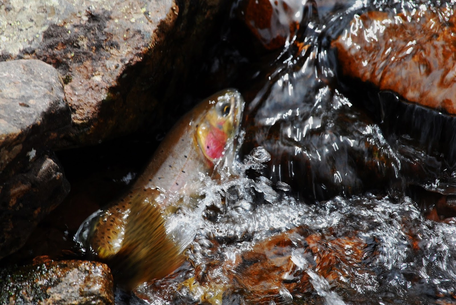
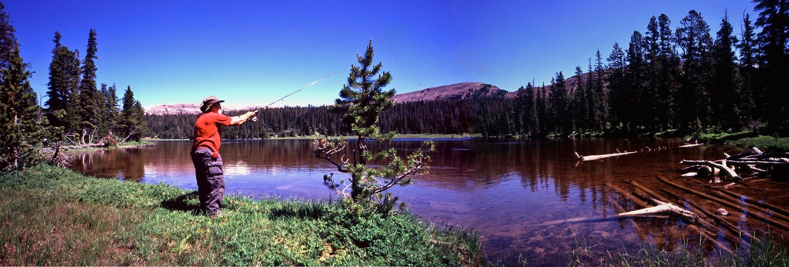
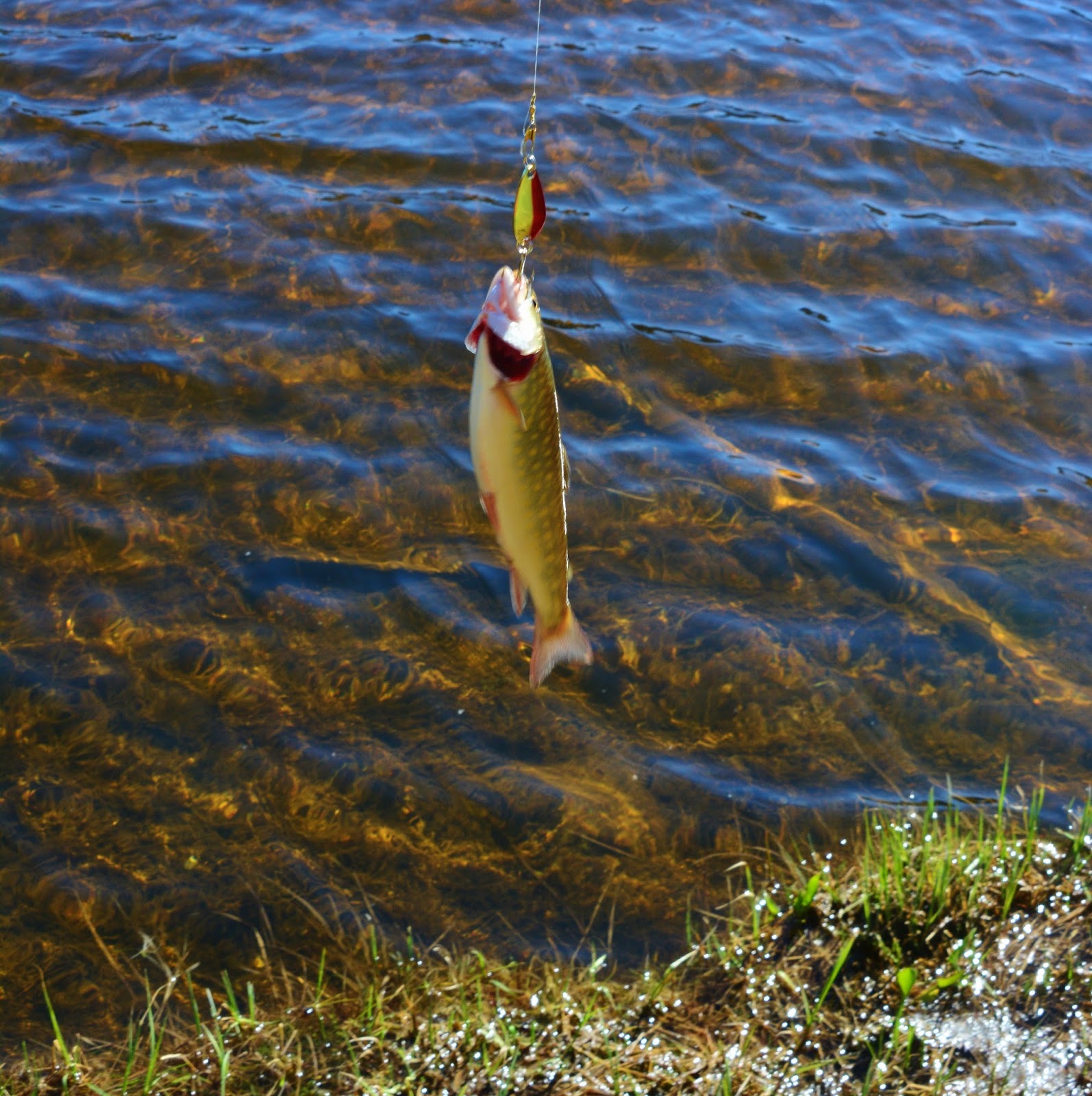
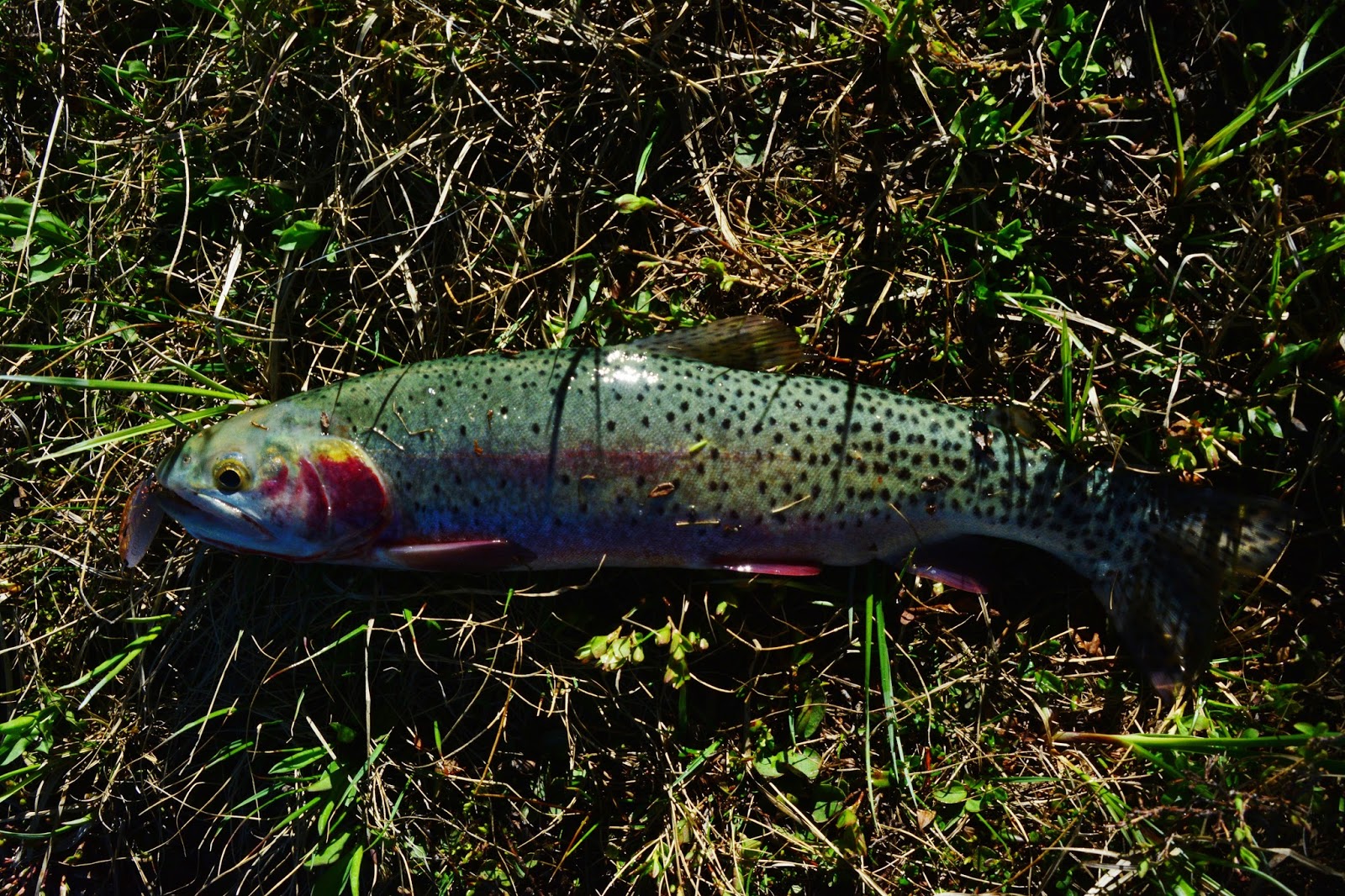
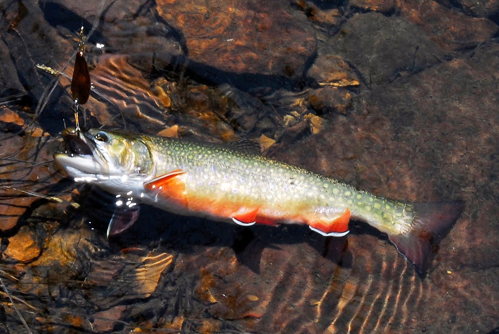
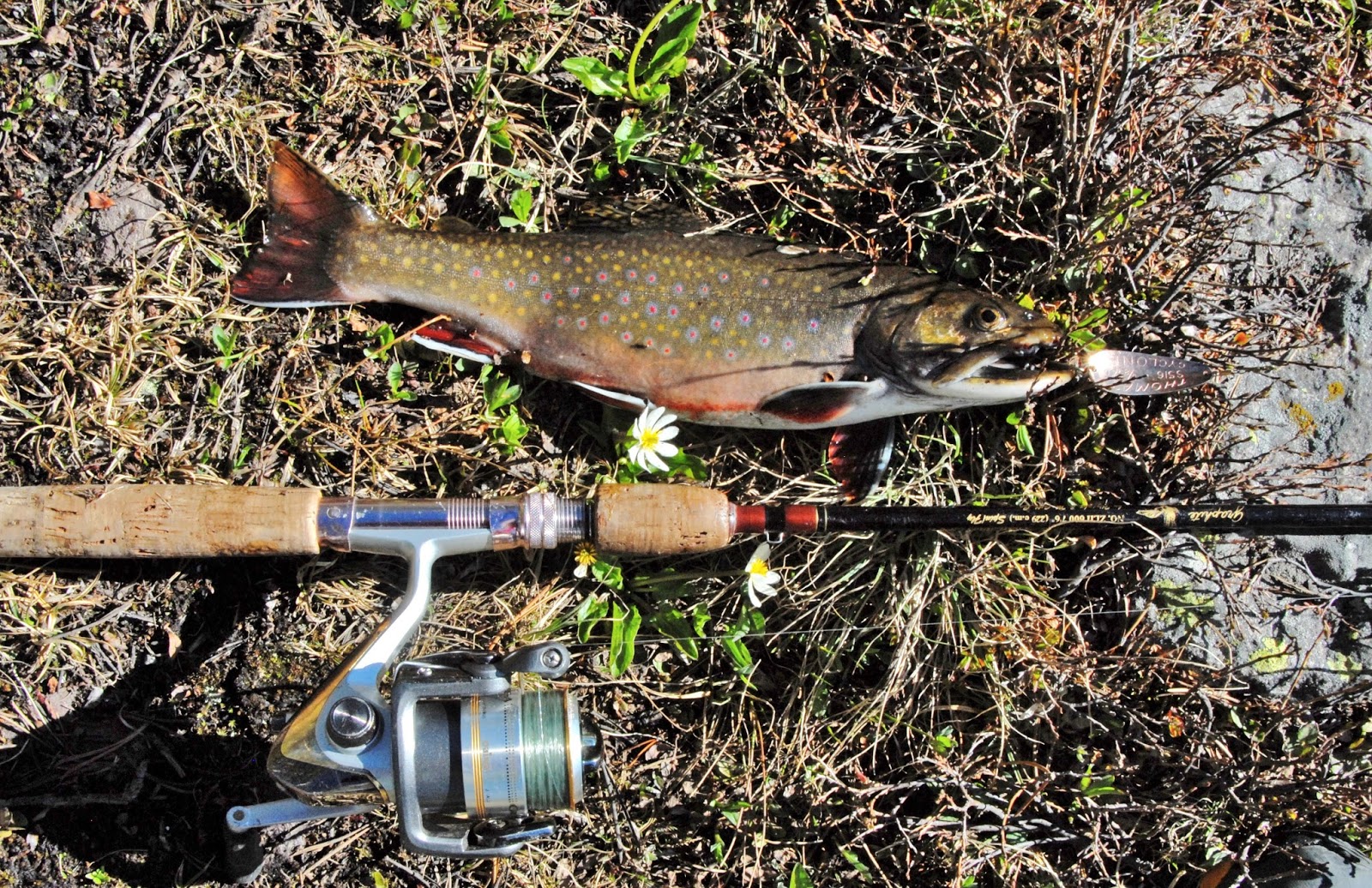
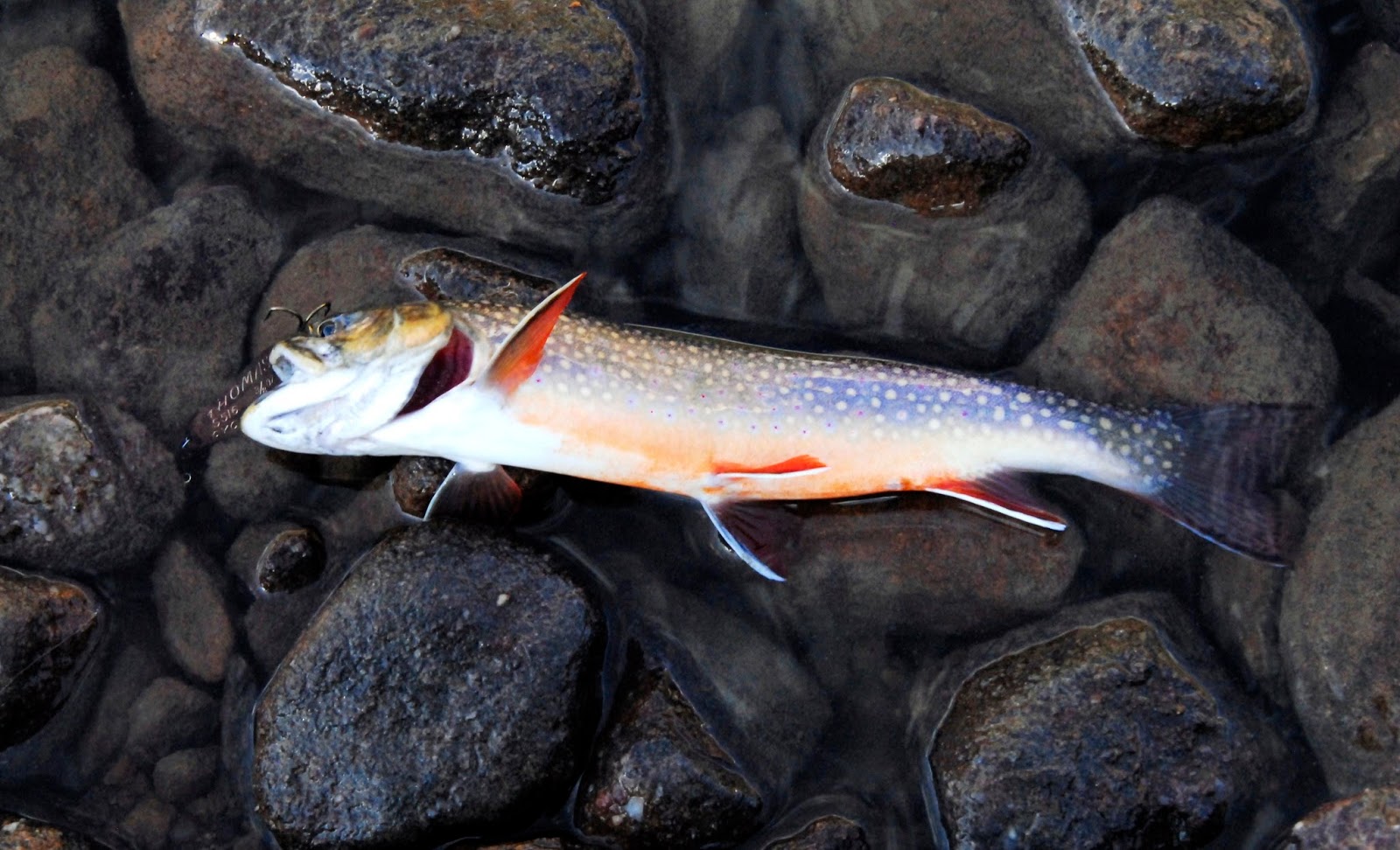
Along with the native cutthroat trout we have seen spawning, there are also eastern brook trout in Grandaddy Lake, like this nice one I caught a few years ago.

VIOLATORS OF THE LAW!
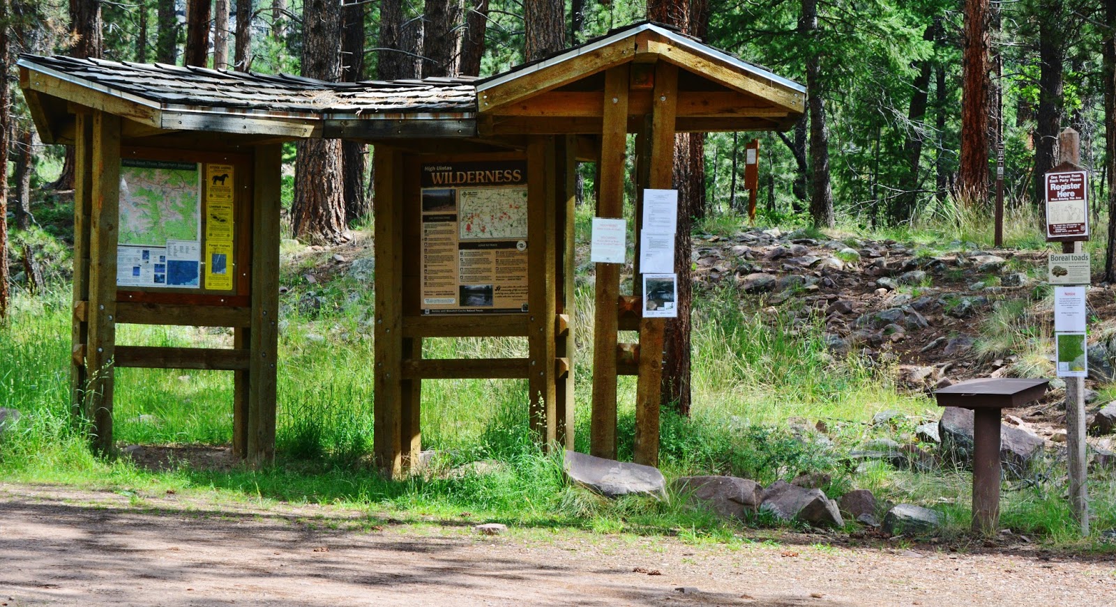
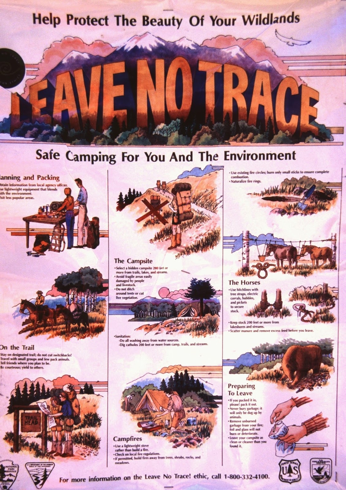
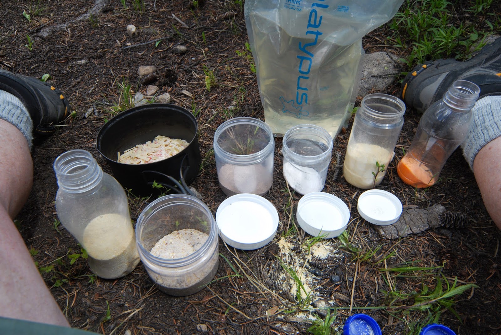
We all like to camp near the water, be it the lake, or the stream, but for the preservation of our Wilderness areas, it’s the law that we have to camp 200 feet from lakes, streams and trails, and, except in very remote areas we can’t have a campfire there, so if you’re going to be doing any cooking, best bend a little, as I have this year, and get a small lightweight propane stove.  To have a campfire you have to be 1/4th mile–1,320 feet, or 440 yards from the water.  These and other regulations are found at all Trailheads, and in signs on the trails…..and remember the most basic Wilderness Law:  
LEAVE NO TRACE…not an energy bar wrapper, gum wrapper, cigarette but, nothing from civilization.
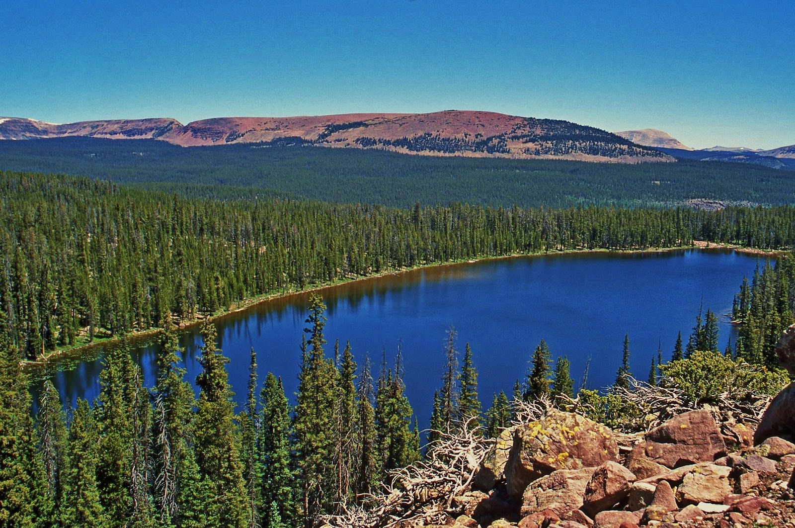
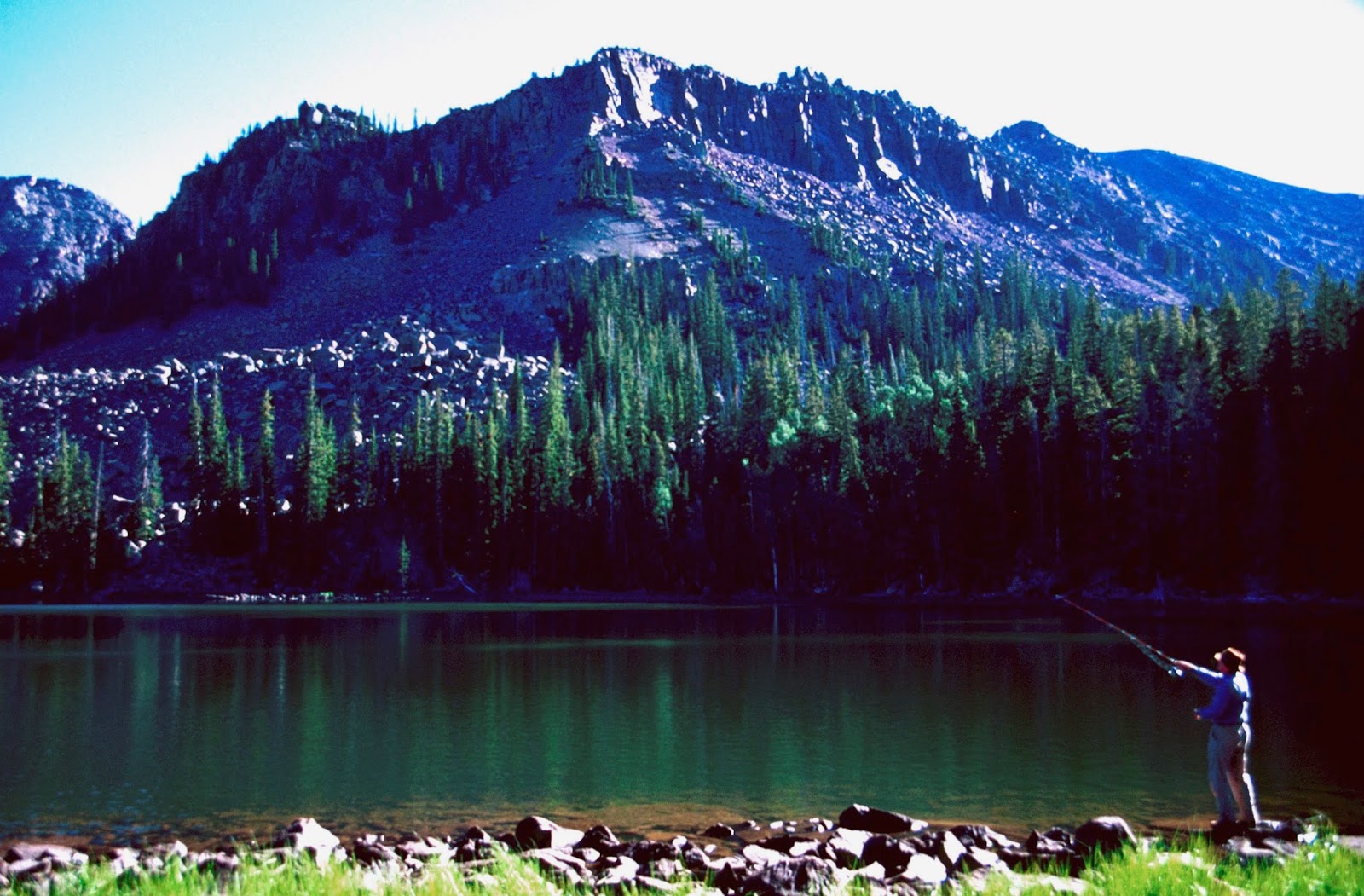
A couple of miles down and east from Grandaddy Lake  we find FERN LAKE, a favorite of many of us from more than 60 years ago.
LAKE #3

For example, about 54 years ago here I am behind the camera taking a picture of my younger brother, Howard, at our camp on Fern Lake.


Soon after that trip with Howard, I moved to Guatemala where I lived and worked for 35 years in a remote area working among the Mayan people (http://www.guatemalanfoundation.org/, returning to the U.S. in 2002 and in 2003 beginning the HIGH UINTAS WILDERNESS PROJECT.  Contact was renewed with Ted Packard, and in 2004 we made our first backpack in all those years to….yes, you guessed it, to  Fern lake.


The next day we bushwhacked southeast to remote DOC’S LAKE we see below….our …..
LAKE #4


Doc’s Lake is found at the eastern end of Grandaddy Mountain.


We didn’t see much sign of anyone having been there in recent years.

Fishing was good for Eastern brook trout.

One can get to Fern, and Doc’s Lakes, as well as the Grandaddy Basin from the Rock Creek Trailhead at Upper Stillwater Dam.  Up past the reservoir you come to a junction where, years ago in 2003  when I explored this trail, this sign was there on that trail.

It had not been maintained yet that year and perhaps little for a number of years, and it was a tough hike with a lot of downed timber.

Up that trail you first come to LA MARLA LAKE, mostly surrounded by marsh areas.  We will call it:
LAKE #5
At the inlet to La Marla Lake, is where a faint trail takes you to Fern Lake.  Following the main trail you soon come to LODGEPOLE LAKE we see below.

LODGEPOLE LAKELAKE #6
This lake has eastern brook trout.

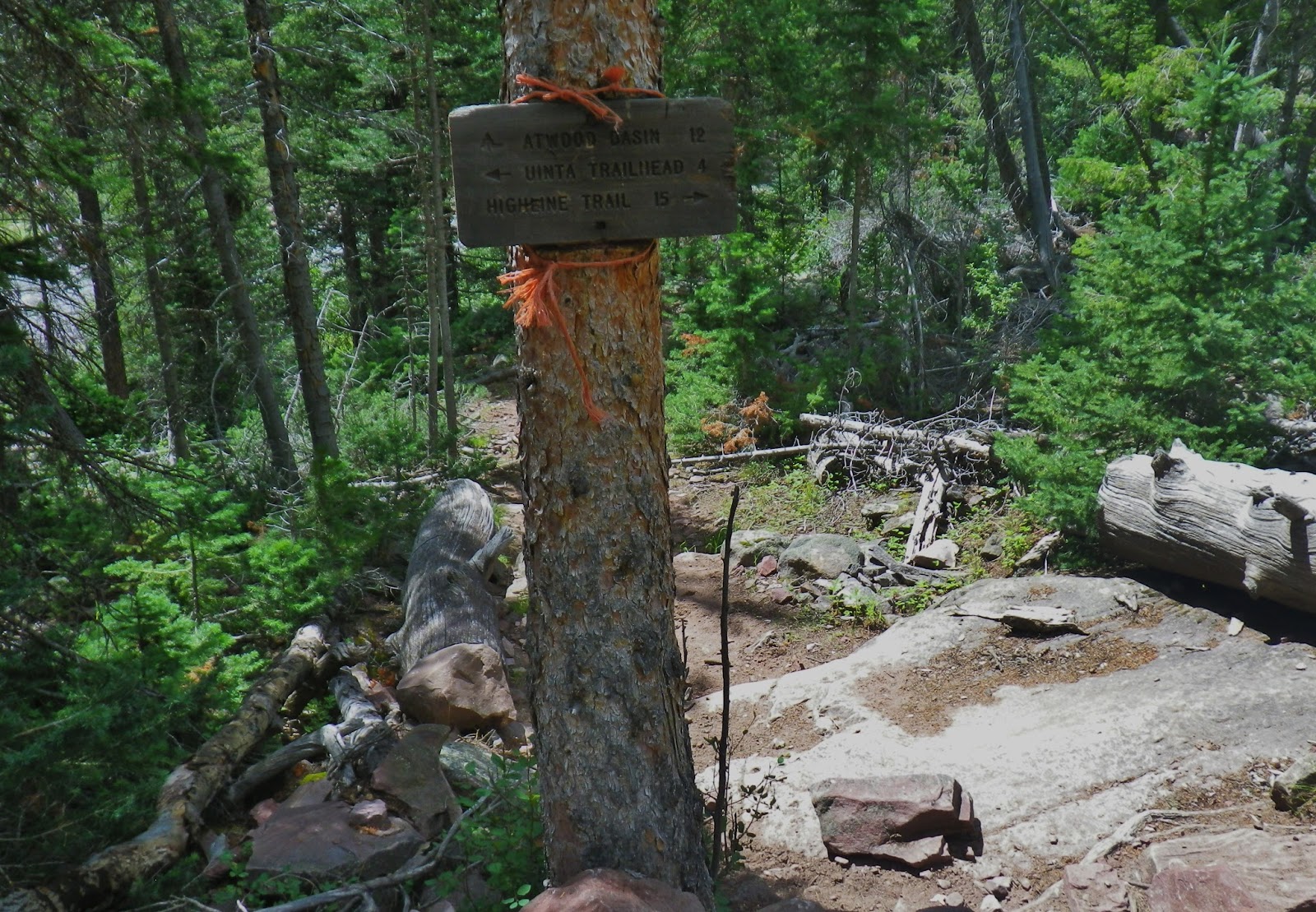
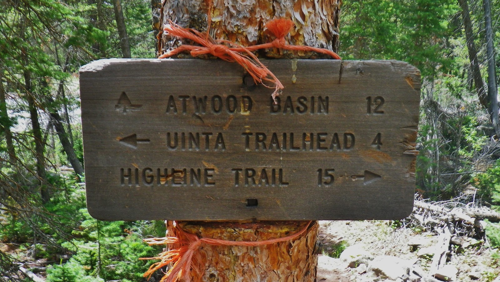
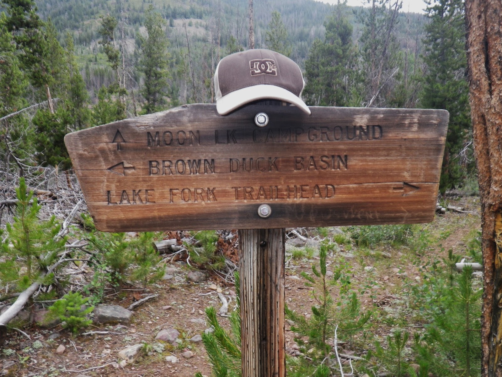
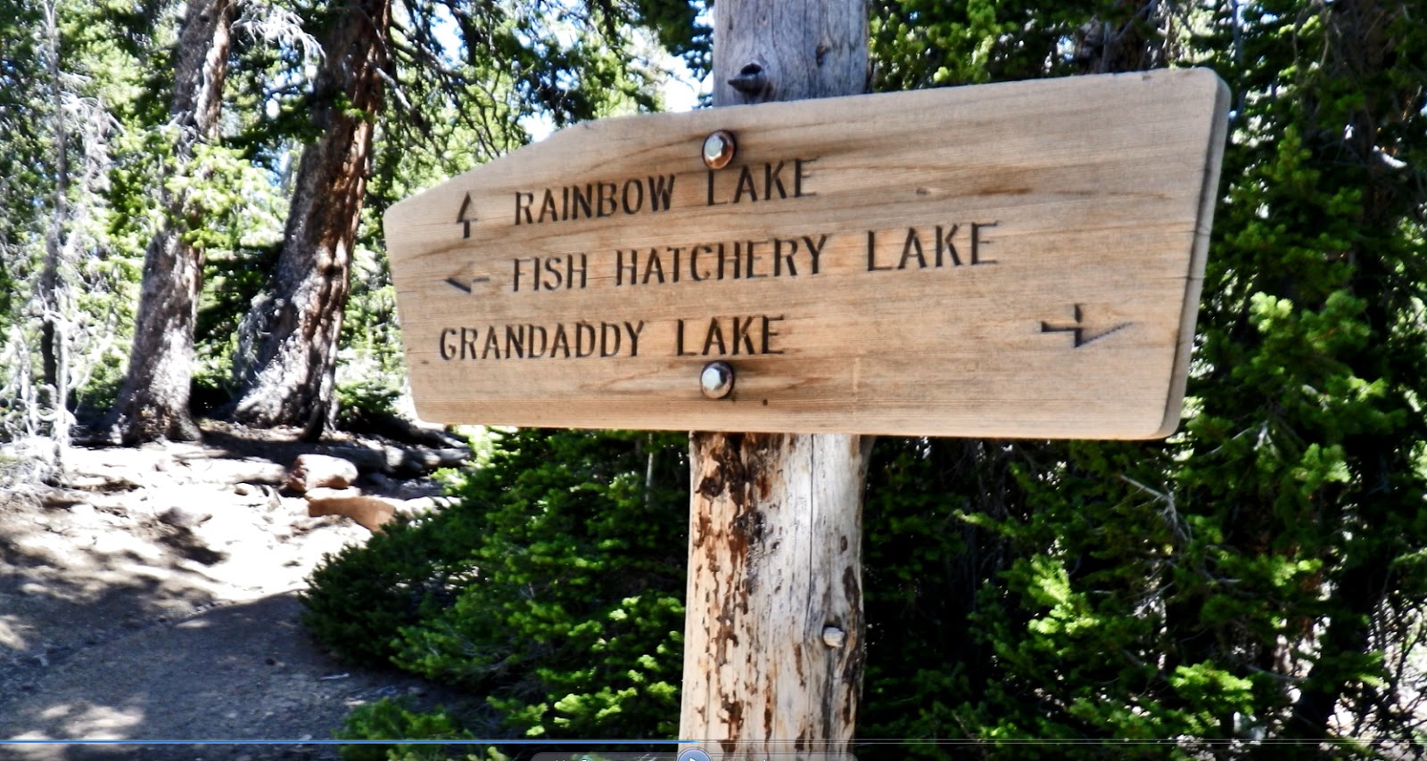
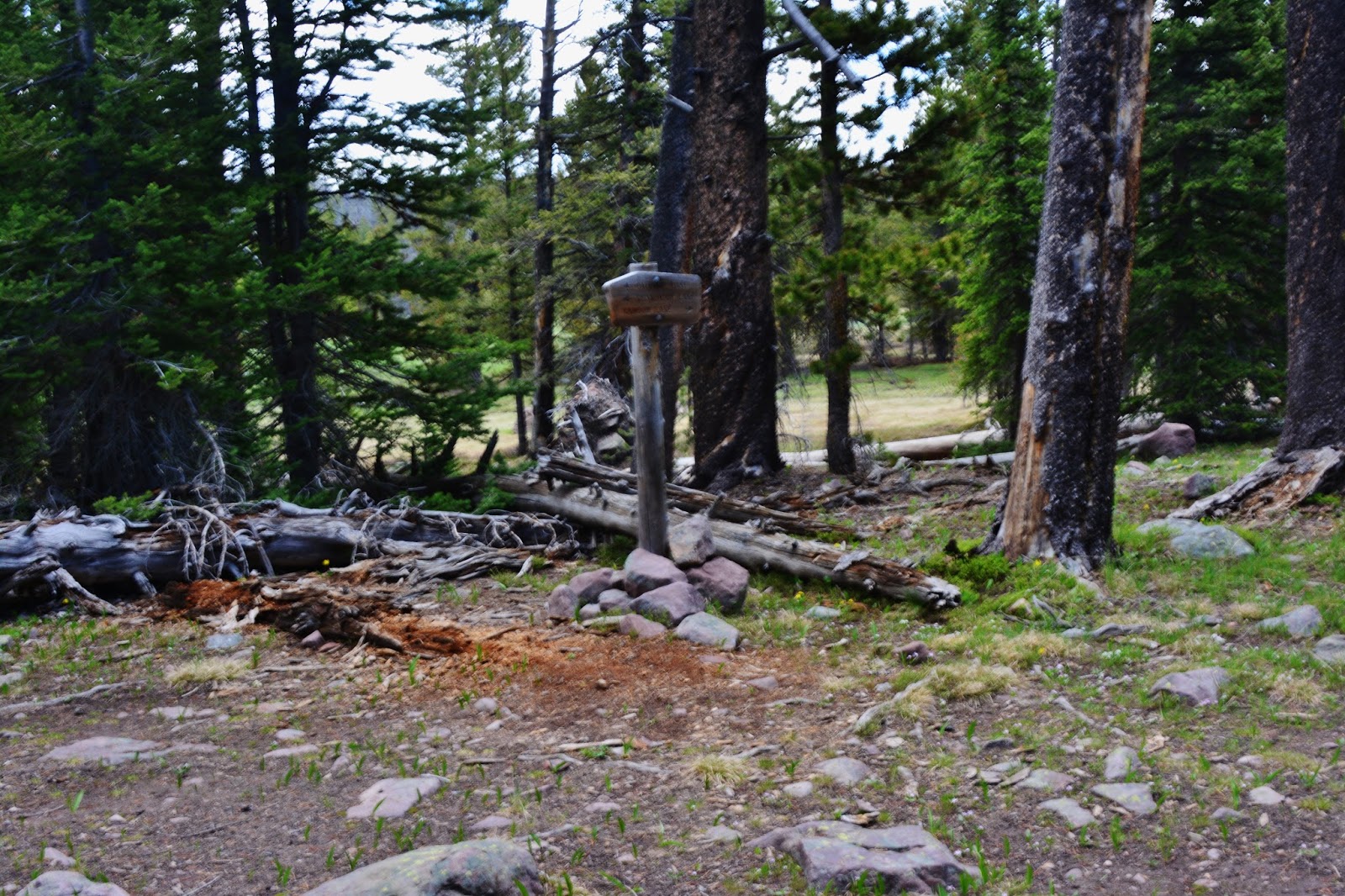
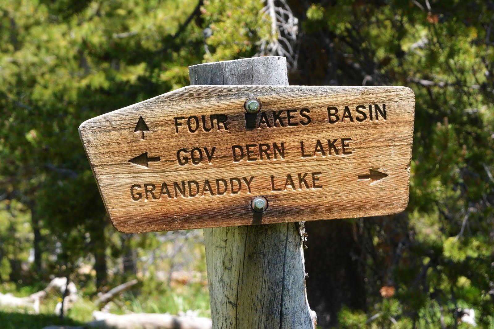
From here the trail climbs up to Grandaddy Lake and circles to the north where you come to a junction with the signs we see below.

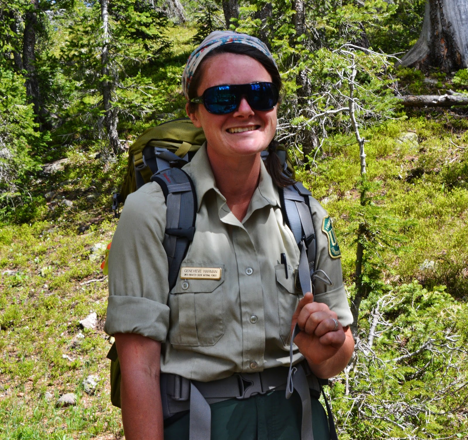
On a recent trip I met Ken, a Forest Service employee hauling materials for maintaining the trails in the basin


In 2003 when beginning the Project, I found at this junction a large sign on the ground and stood it up for this picture.  It has since disappeared, as have many signs photographed in the past.  Some of them are found in storage rooms at Forest Service offices surrounding the Uintas, others gone forever.

From the above junction we follow the trail north and immediately come to BETSY LAKE that provides fishing for eastern brook trout.
BETSY LAKE is our LAKE #7
Halfway around Betsy to the north you come to this junction.  We take a right and head down the trail that points to Rainbow Lake.


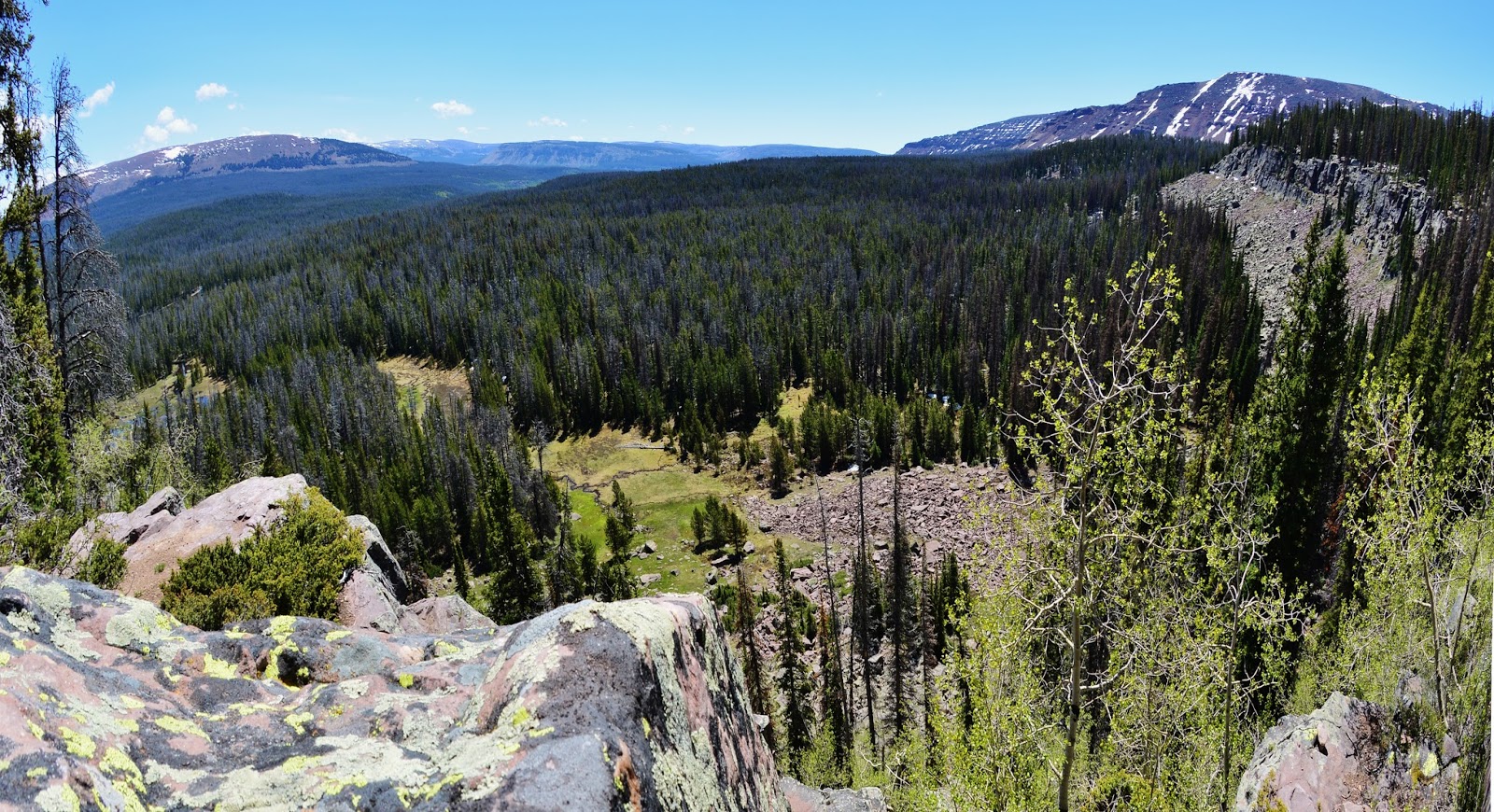
As you begin to drop down you will notice to the right that you are near an escarpment from which you can view the High Uintas to the southeast, with Grandaddy Mountain on the right.

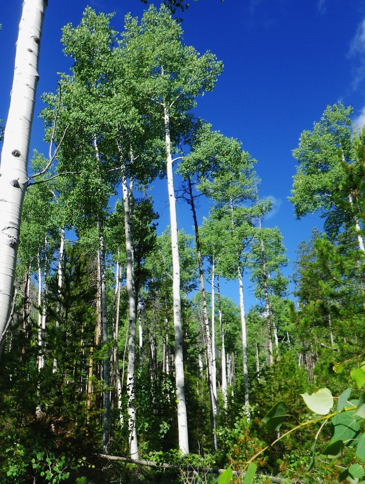
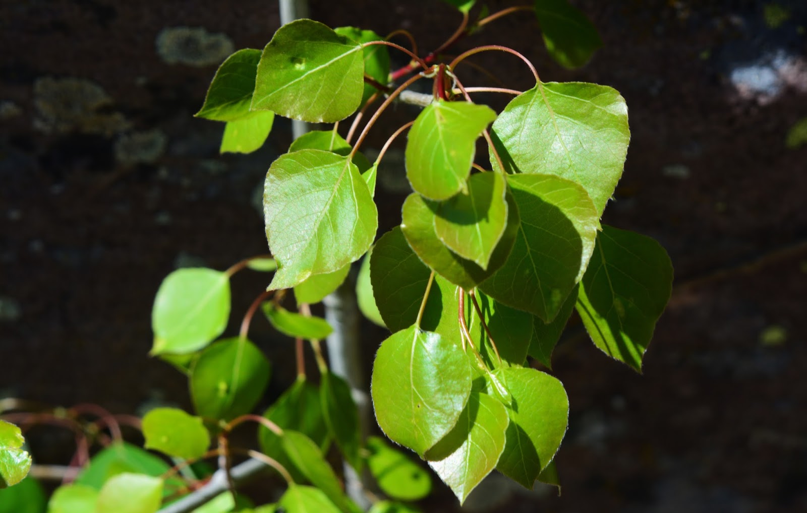
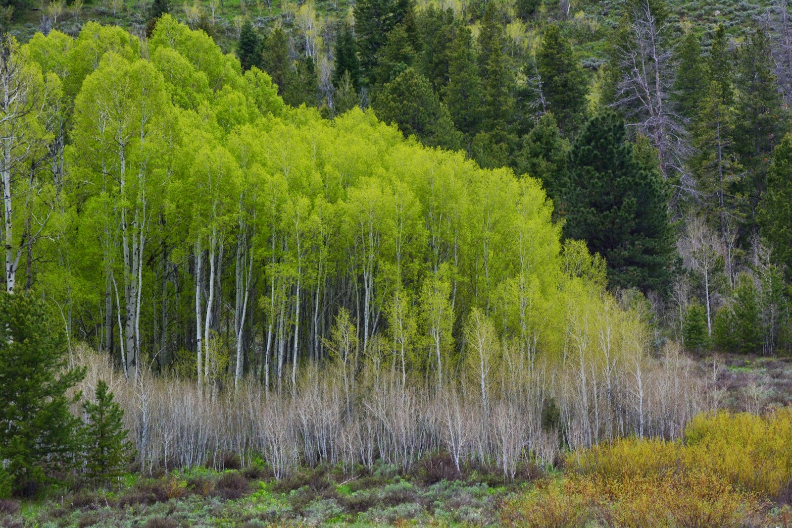
The delicate leaves of Utah’s new official tree, THE QUAKING ASPEN, are beginning to sprout.  
I consider this an excellent choice, rather than the previous Colorado Blue Spruce that didn’t make any sense.  I have explained in previous posts, such as my efforts to get to Lake Lorena on the East Fork of Bear River,  why “she” is a very good choice, as she in many respects gives life to the mountains and saves them from ecological disasters–like after forest fires or an avalanche.


After dropping down quite a bit you cross a foot bridge over the creek that joins others to become the West Fork of Rock Creek.

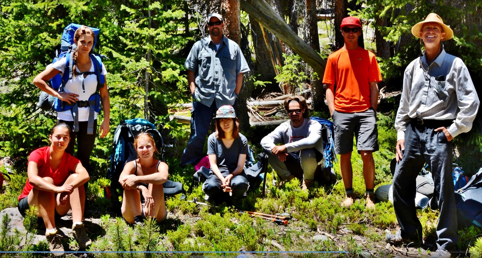
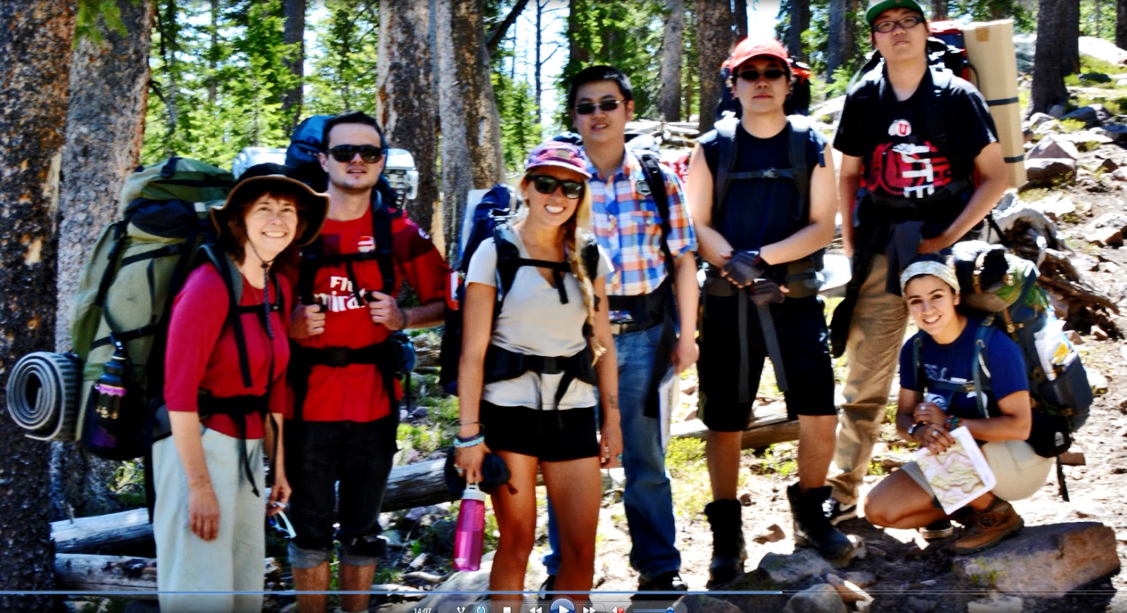
A little further, near the trail junction to Palisades Lake, we meet  a  backpacking class from the University of Utah, led by Ted Packard’s son, Mike, and have a great reunion.


We briefly detour up that trail to visit our next lake.  

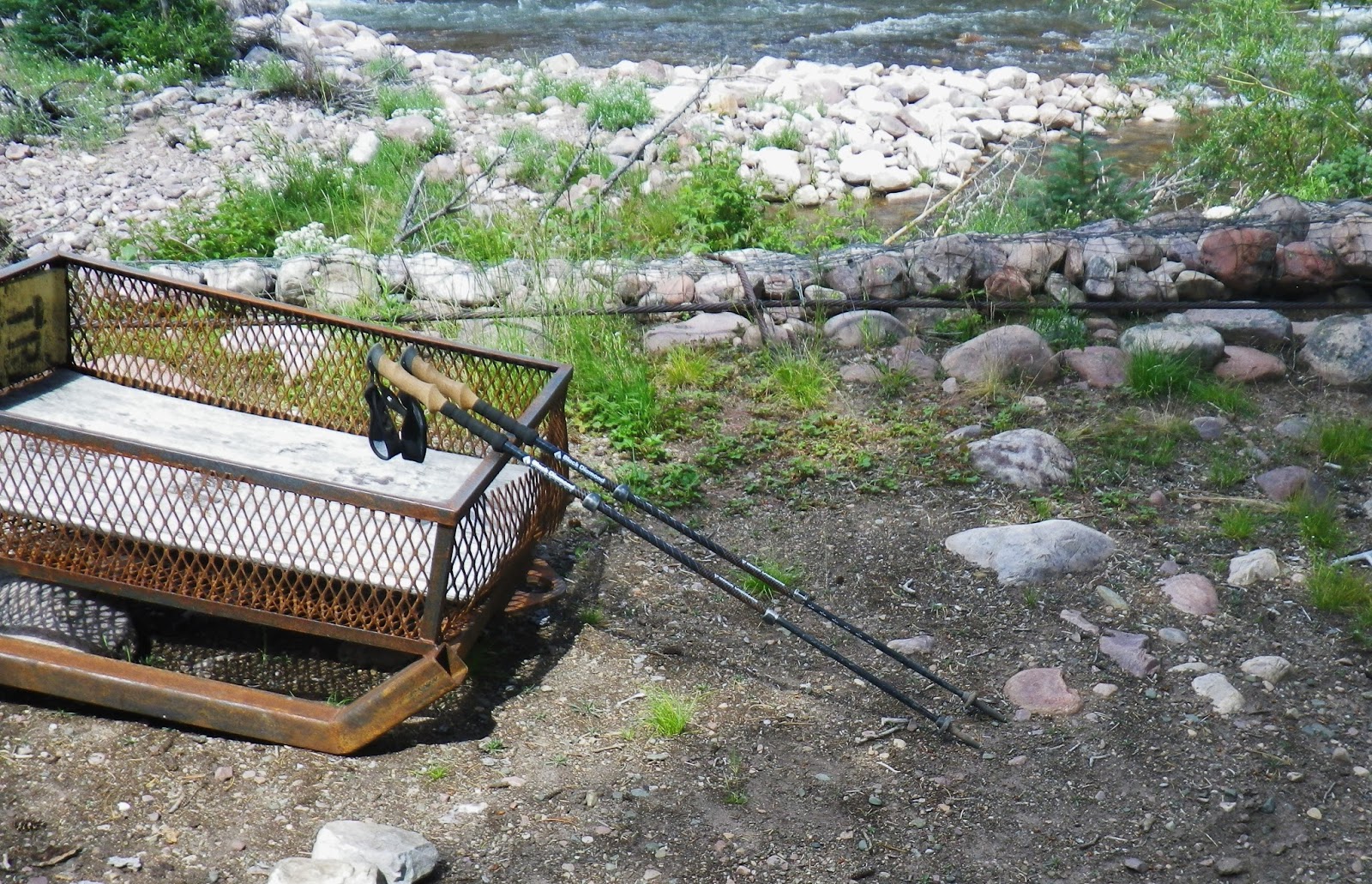
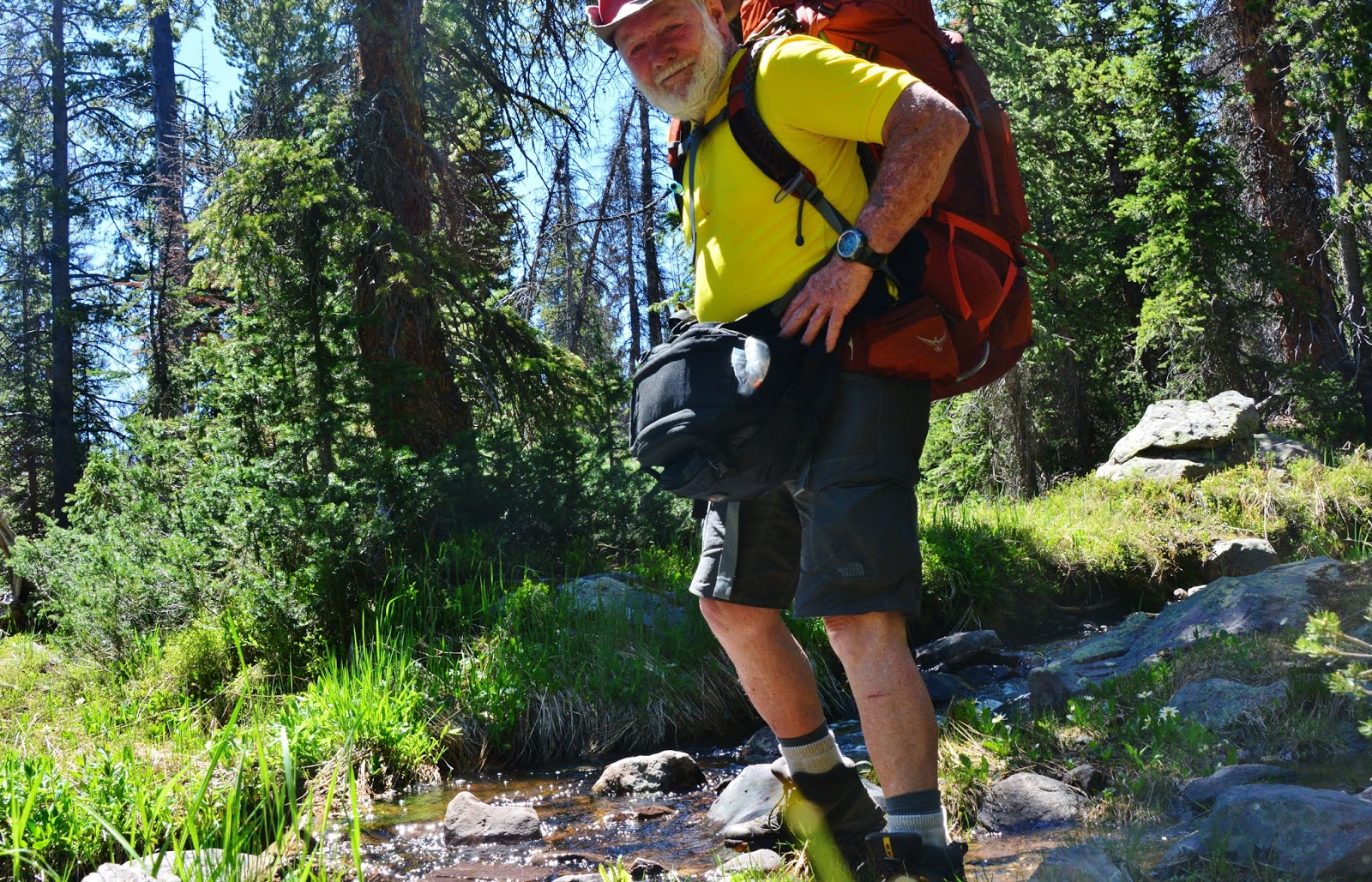
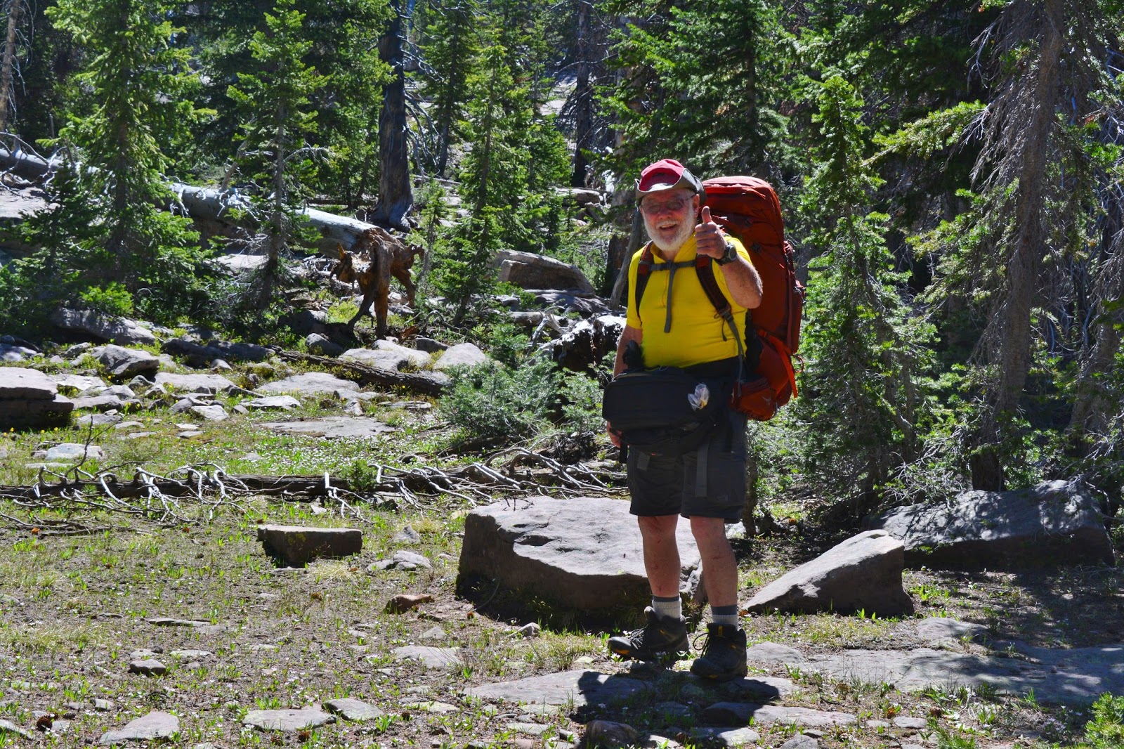
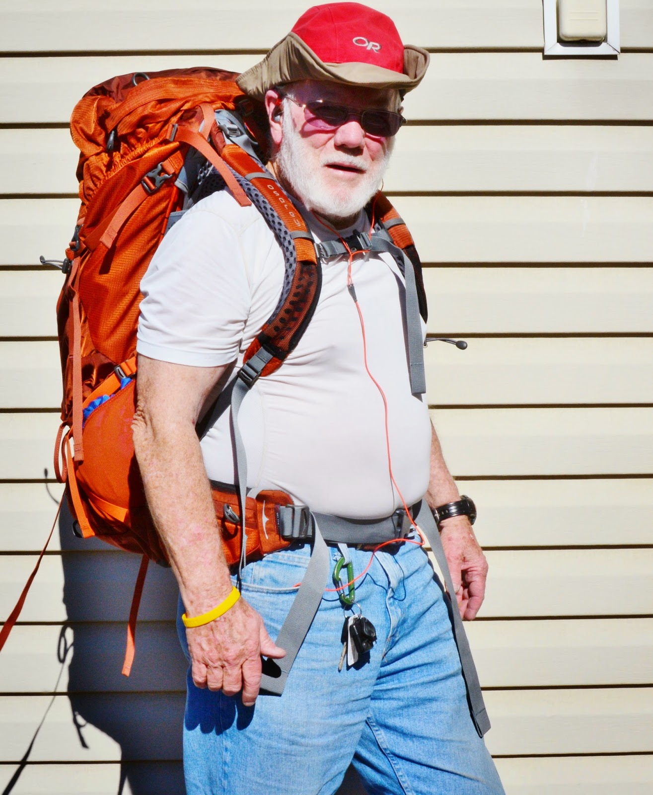
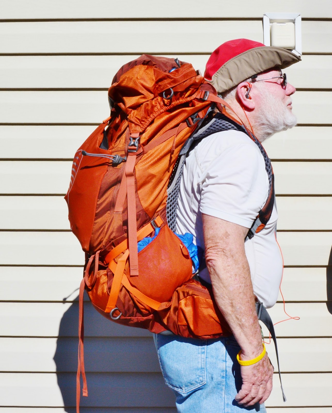
Above  you see me showing one of the reasons why I have no interest at all in trekking poles….I need my hands for more useful things, such as my fishing rod, my camera always at ready, or a little bagful of munchies,  any of which help me much more….besides, if I used them I would never be able to live with the reactions of my Marine sons to trekking poles!

Near the lake we meet the other part of the “Backpacking Class” led by Hilary Bean on the left.


We then visit briefly PALISADES LAKE our …..
LAKE #8

….and catch a few Eastern brook trout.


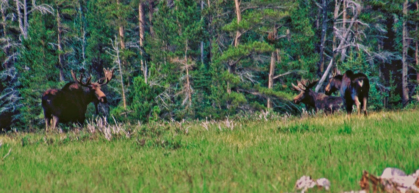
Then back to the junction and down the trail that parallels Brinton Meadows where on one trip I was fortunate to photographs some bull moose you see below.


From the trail we take another brief detour to the south to visit
SHADOW LAKE our…..
LAKE #9


Shadow Lake is mentioned by fabled Hanna resident, Snooks Roberts, now deceased, who mentions his trips into the Grandaddies on horseback, sheep herding, etc.  and specifically tells of him and buddies in 1925 fishing in Shadow Lake using a raft, and hauling back to civilization “300 brook trout!”


Then back to the trail soon crossing another foot bridge over the creek draining Brinton Meadows.


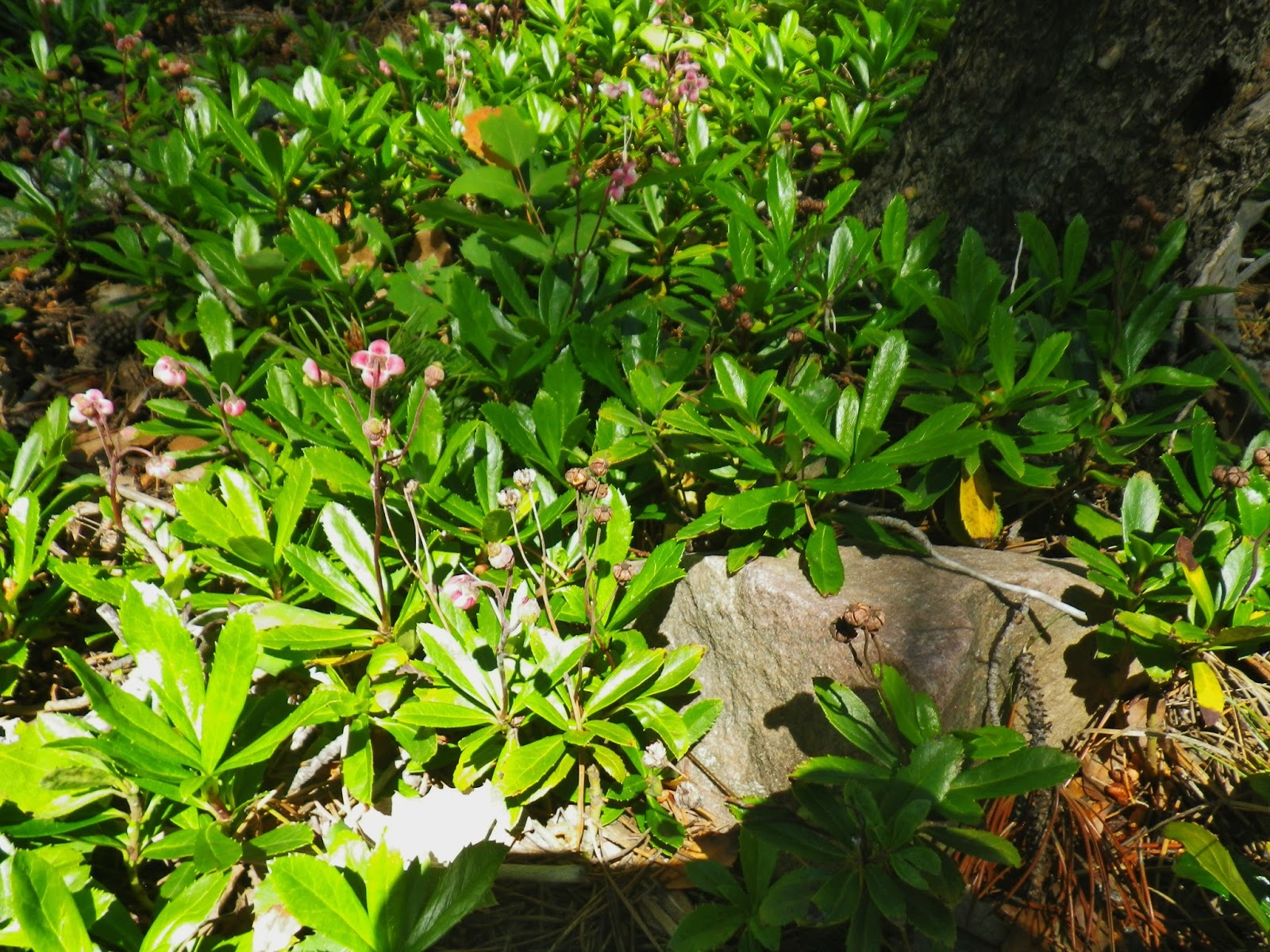
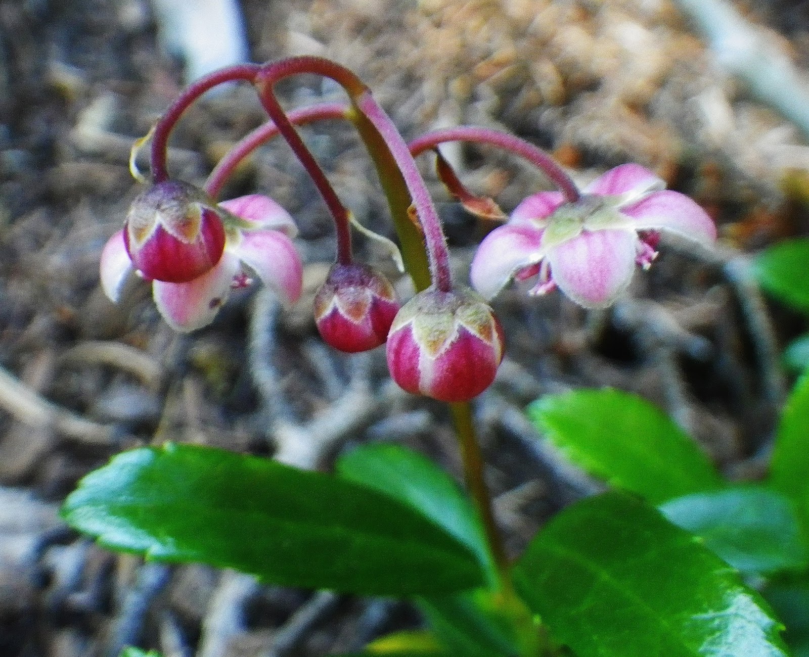
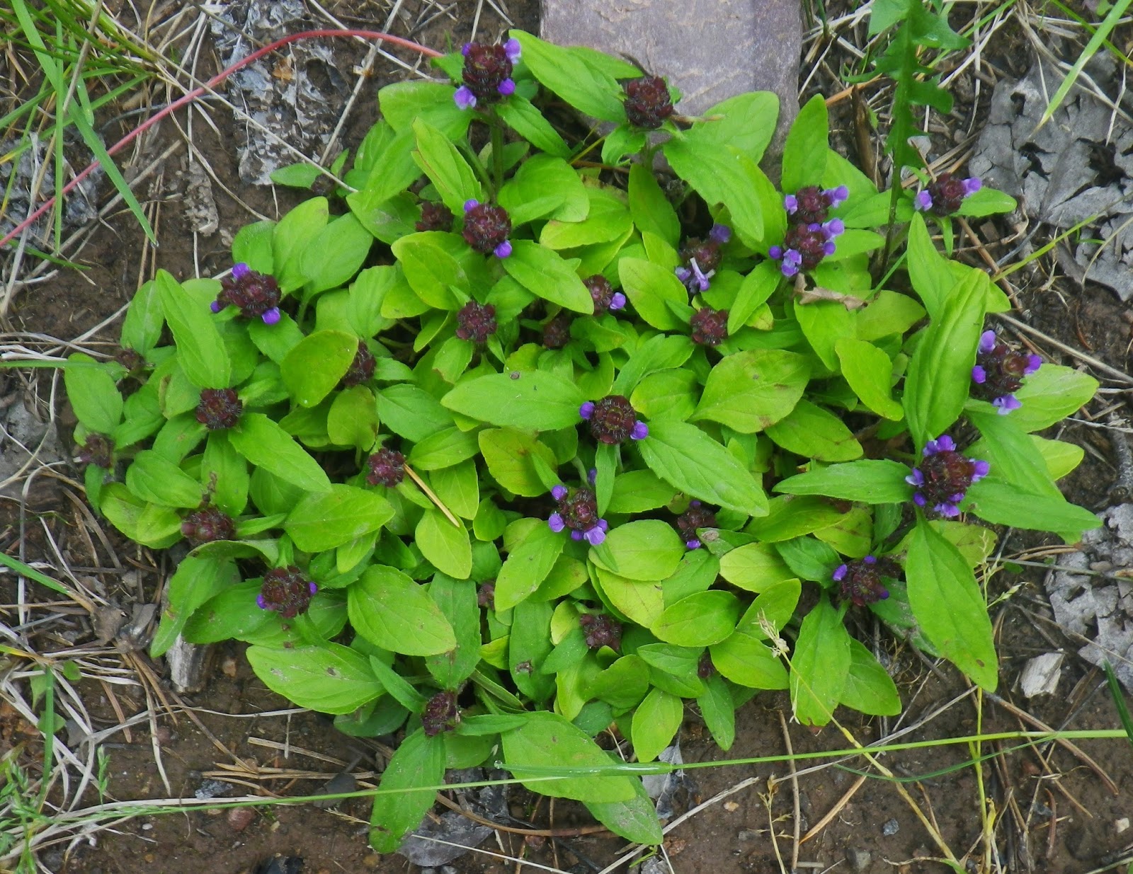
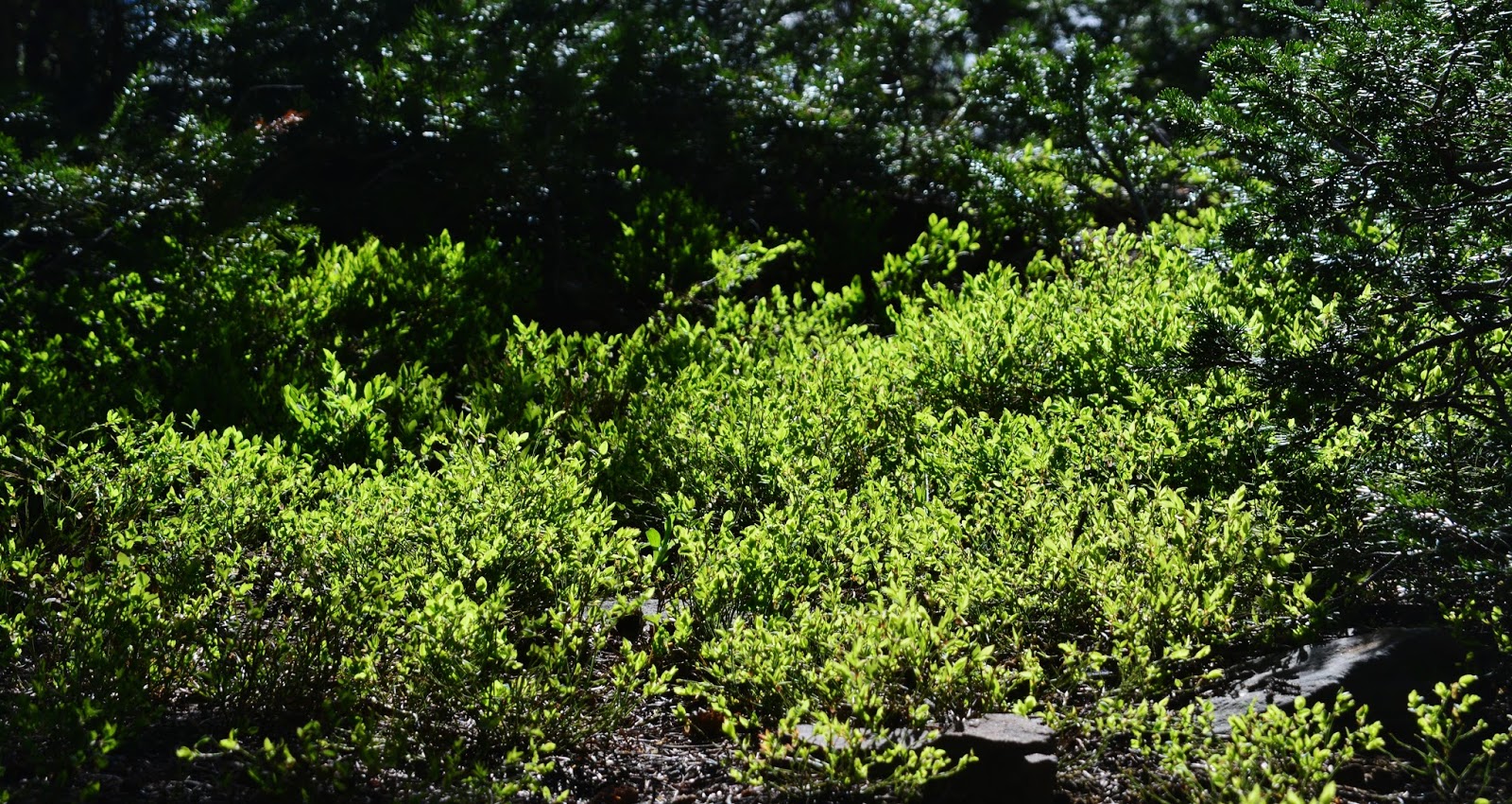
During our hikes in the Uintas we see….but rarely focus on the underbrush on the forest floor.  Early in the season, tiny flowers, that most hikers never notice, develop about 1/8th of an inch in diameter.  After a lot of searching I so far pin it down to the HEATH FAMILY, with about 125 genera and 3,500 species, the one that comes closest is Kinnikinnick or Bearberry.


We are seeing it here, and zooming in to really appreciate it, like never before, so PAY ATTENTION to this beautiful VISION OF NATURE


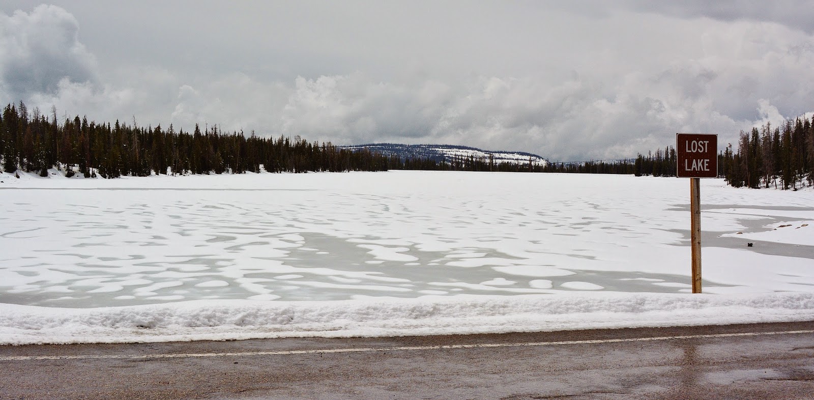
Then down the trail a mile or so to LOST LAKE, our…..
LAKE #10


As we hike by the lake we do so carefully looking for a faint, unmarked trail that takes off to the right, or the south.


Here it is, so we take another detour for about half a mile and come to…..

LAKE POWELL, named in honor of Major John Wesley Powell, described in Wikipedia as:
John Wesley Powell (March 24, 1834 – September 23, 1902) was a U.S. soldier, geologist, explorer of the American West, professor at Illinois Wesleyan University, and director of major scientific and cultural institutions. He is famous for the 1869Powell Geographic Expedition, a three-month river trip down the Green and Colorado rivers, including the first known passage by Europeans through the Grand Canyon. Etc.
So LAKE POWELL is our LAKE #11

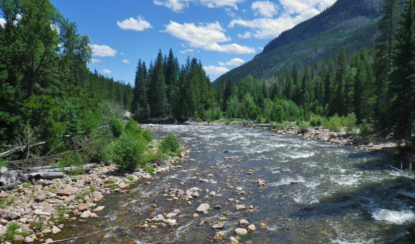
Back to the main trail at Lost Lake, we begin to drop way down to about 9,800 ft. and cross a foot bridge over Fish Creek  that originates in nearby Rainbow Lake.  
Fish Creek is the main creek that drains the Grandaddy Basin.  Downstream it joins other creeks  and becomes the West Fork of Rock Creek, just before joining Rock Creek above Upper Stillwater Reservoir. 

This spot is also a major trail junction, one trail going down Fish Creek to Rock Creek;  another we will take going northwest to Rainbow Lake which continues on to another junction near the inlet to Pinto Lake, one fork dropping down into the Duchesne River canyon, the other continuing north crossing the river and then joining the Highline Trail.

Once crossing the bridge we come to RAINBOW LAKE which will be our….
LAKE #12

Rainbow Lake has Eastern brook trout, like the one you see below.  Ricky Fowler, we met earlier with his dog Buddy, told the tale of having great fishing here, that provided his dinner, and his breakfast, with the largest catch that was released being a 15 inch long brookie.


Soon after leaving the trail junction at the outlet to Rainbow Lake, there is another major junction ……

…….with a very important trail taking off to the northeast that leads to the Four Lakes Basin, with one trail climbing Cyclone Pass on the east, and another fork going northwest to join the Highline Trail near Pigeon Milk Springs.  Somehow I failed to get a picture of the sign, but up that trail a couple of miles we come to our next lake.


It is BEDGROUND LAKE, small, but guide books give it credit for having produced large brook trout….but it has never worked that way for me, and for others I have talked to–much of it depending on when in the the usual 5 year growth cycle you happen to make your visit.     But it is part of the Grandaddy Basin and will be our….
LAKE #13

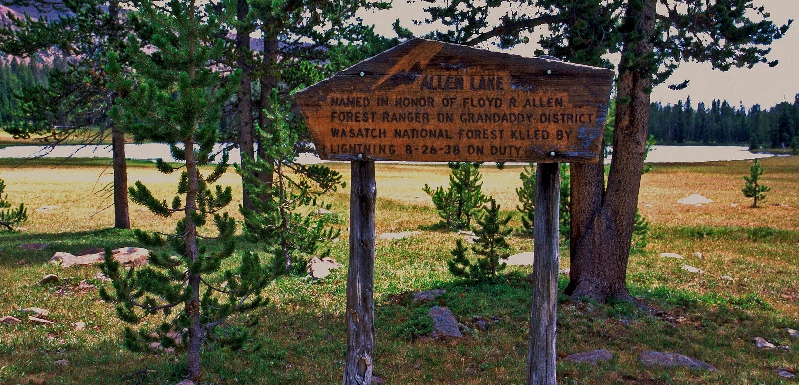
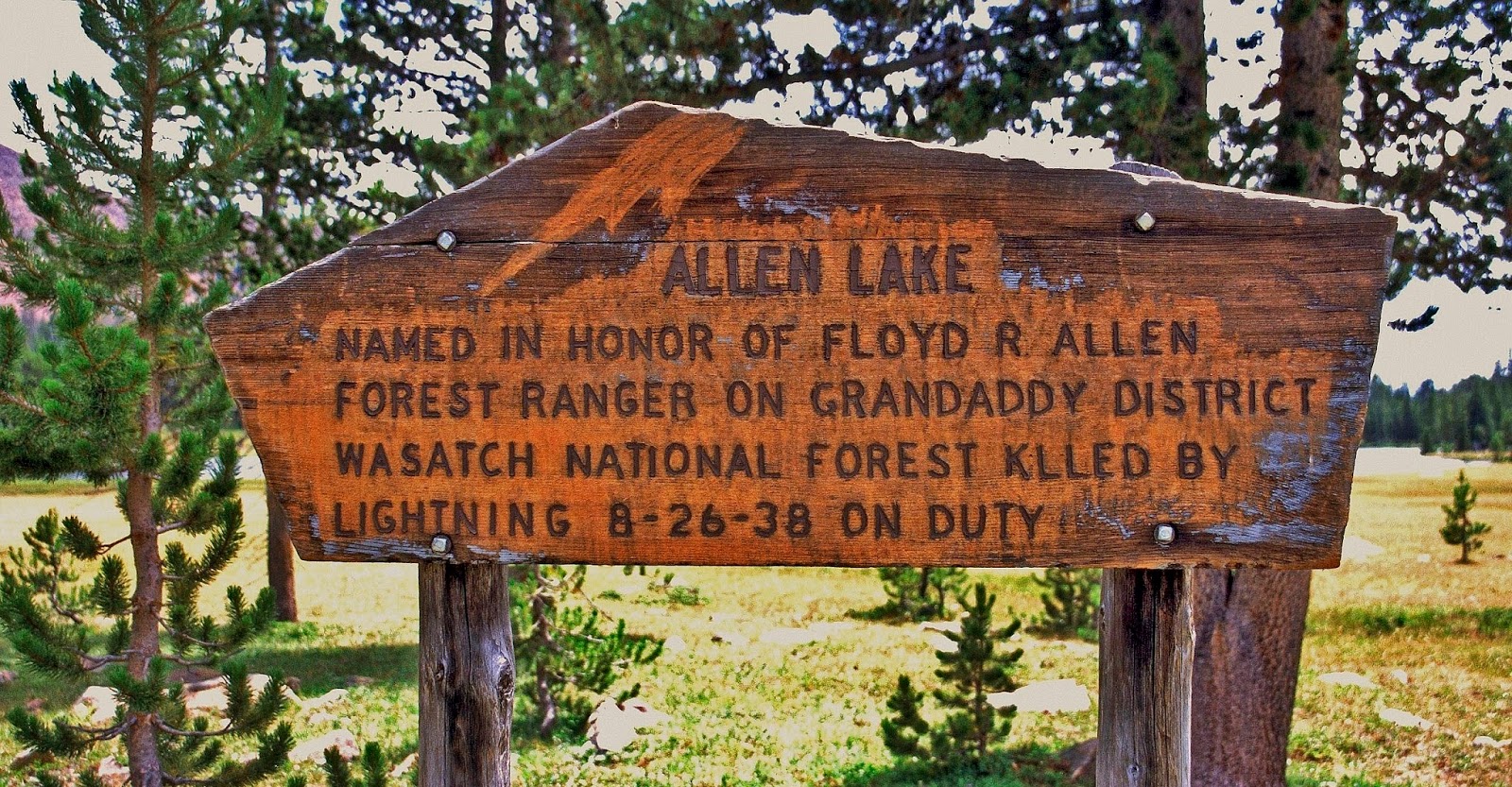
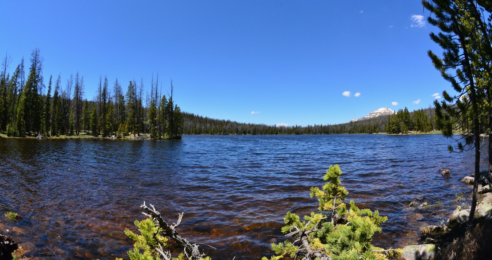
From Bedground Lake you leave the trail and bushwhack (easily) due east for about a mile and come to ALLEN LAKE, which below we are actually seeing from above it to the north.


ALLEN LAKE will be our ……
LAKE #14

I visited Allen Lake the first time in 2003 on my 27 day “expedition” crossing the Uintas.
I found its sign very dark and not legible in a photo so I went to work scraping it, including with a bolt of lightning, revealing it’s fascinating history you can read yourself below.


The next time I visited, the sign posts had rotted away and the sign was on the ground.  I propped it up off the ground to keep it from rotting.  A year or so later some friends went in there with bolts, and tools to do a worthy job with the sign.
Now, in 2015, my friend and Forest Service employee, Jeff Mitchell, tells me the sign doesn’t exist anymore!  So my photos become important for history’s sake.


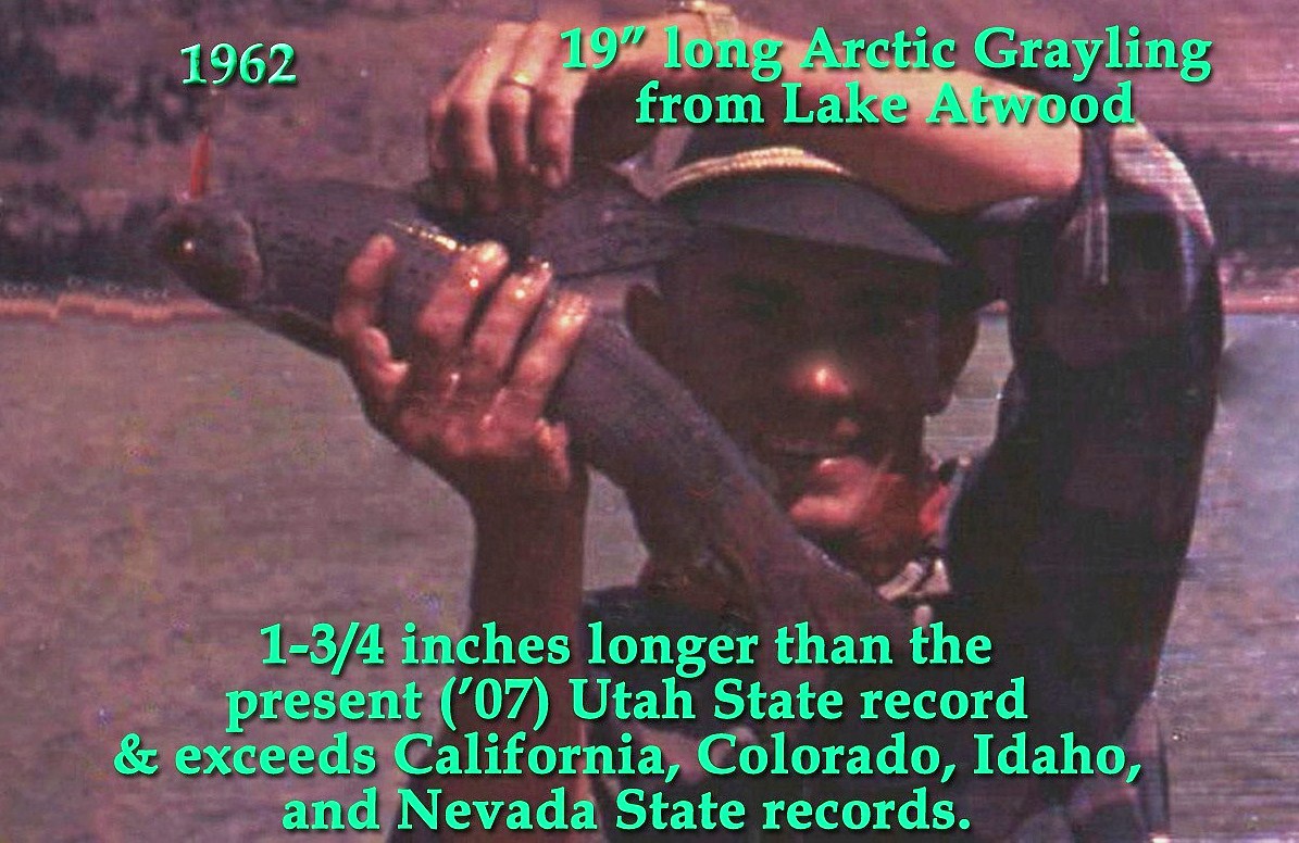
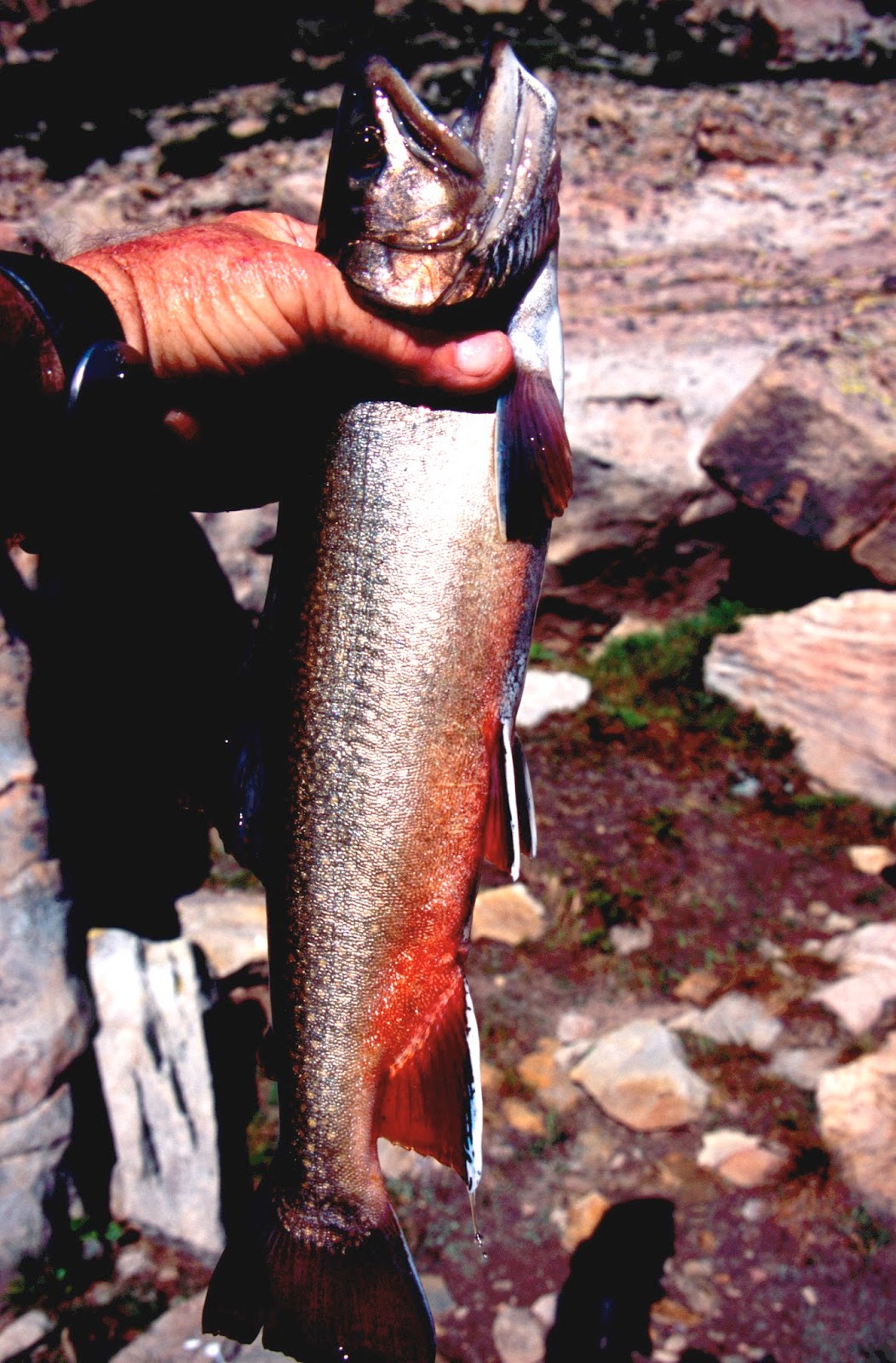
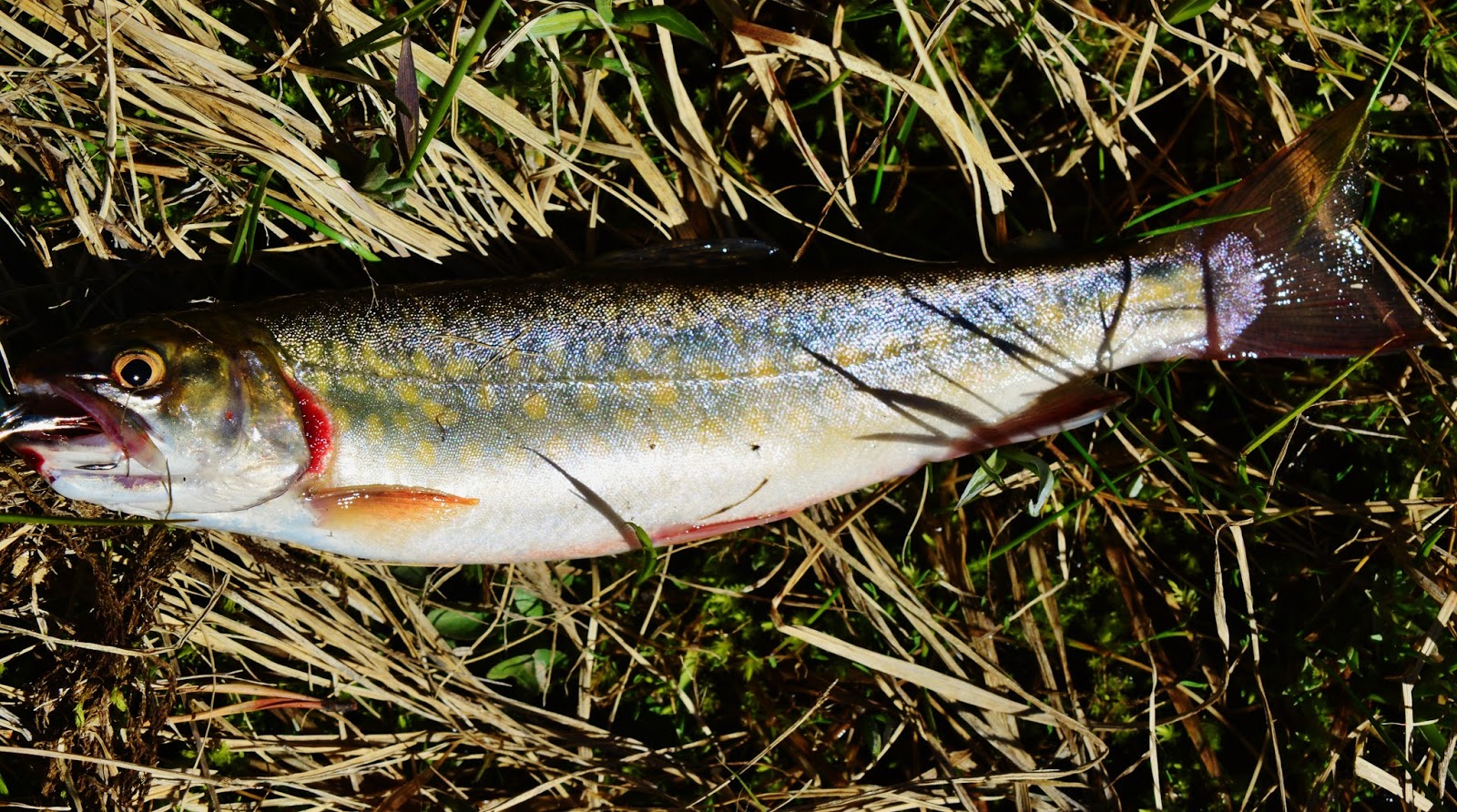
Allen Lake is famous for its Arctic Grayling, several publications speculating that the Utah State record grayling will come from here…..but….


….my friend Ted Packard already caught one that will be hard to beat you see in the above damaged photograph from 1962.  “Damaged” as after leaving Lake Atwood my camera was dropped into one of the Chain Lakes, but a few shots were saved…but damaged.   I caught one also near this size….I’ll insert that photo below.
You might have noticed that we were doing something unusual, catching them on spin casting lures, rather than flies.  Grayling have small mouths, but these were big enough to grab on to our lures.

From Allen Lake we backtrack down to the Fish Creek Trail to visit our next lake…. 

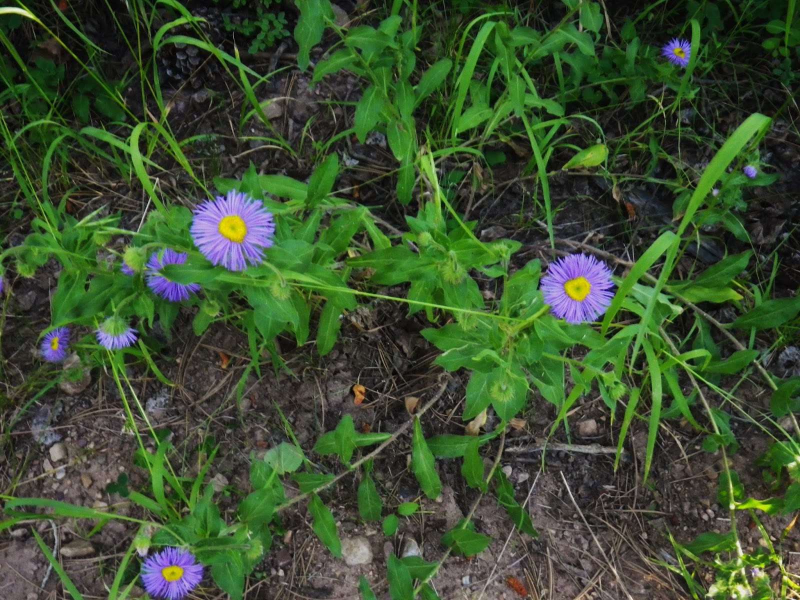
Along the way we zoom in on another tiny flower abot 1/4th inch wide, it being WILD BLUE VIOLET


So we return to the trail near Rainbow Lake and come to a creek crossing you see below.  Rather than wade it, we will bushwhack around the east side of the lake to visit relatively virgen territory where the trail returns after Governor Dern Lake. 

We soon  come to larger GOVERNOR DERN LAKE  which will be our….
LAKE #15

Governor Dern lake produced brook trout like you see here.

Near the inlet to Governor Dern Lake we come to the trail again that crosses the stream to come back to our eastern side.


We continue a short distance and soon come to our next lake….


It is PINTO LAKE, even larger, that will be our….
LAKE #16

Might sound like a broken record, but again we catch Eastern brook trout.

NOW WE HAVE TO GET OUT OUR MAPS TO NAVIGATE TO THE NEXT REMOTE LAKE…..where we have never got to before.

The DWR (Department of Wildlife Resources) old pamphlet on this area says that to get to MARGO LAKE, you follow a trail that takes off from the inlet to Pinto Lake and “go west 1/2 mile.” 

All points being wrong.  My topographical route shows it being SOUTHWEST, and at least 1.3 miles (to which I have learned you should add 15%).

The “trail” was faint at best, unmarked, no signs, no blazes on trees. 


Often it disappeared and I would just continue where I thought a trail should be, and sometimes found it again….but eventually lost it and so just headed up the mountain southwest.


I entertained myself  with the difficult bushwhacking up through constant downed timber as best I could be using as excuse to rest focusing on unending VISIONS OF NATURE


The always beautiful GLACIER LILY


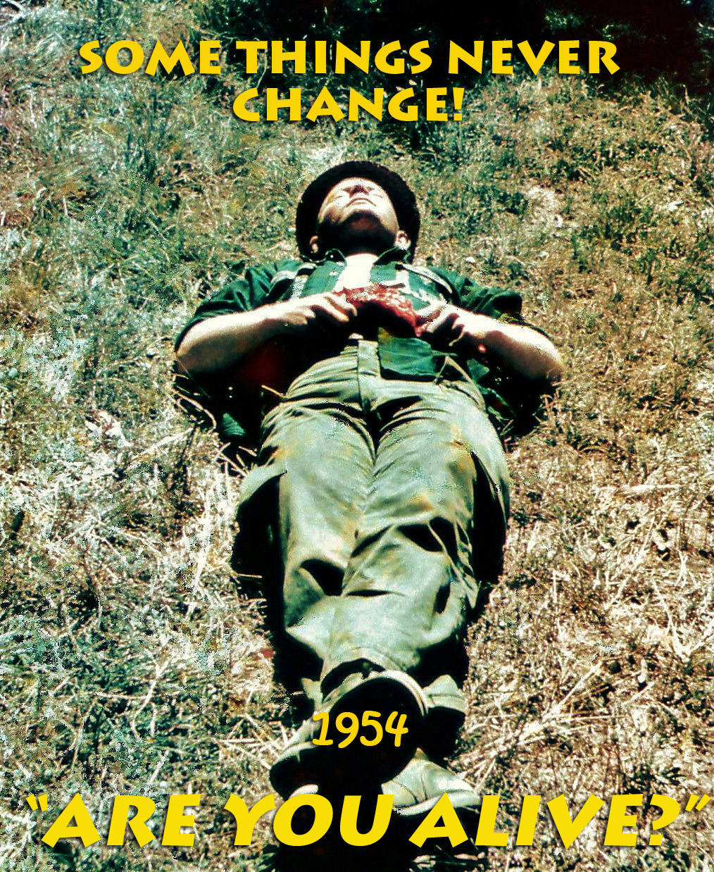
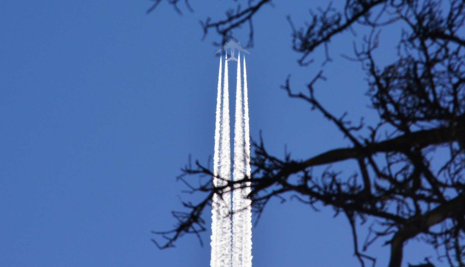
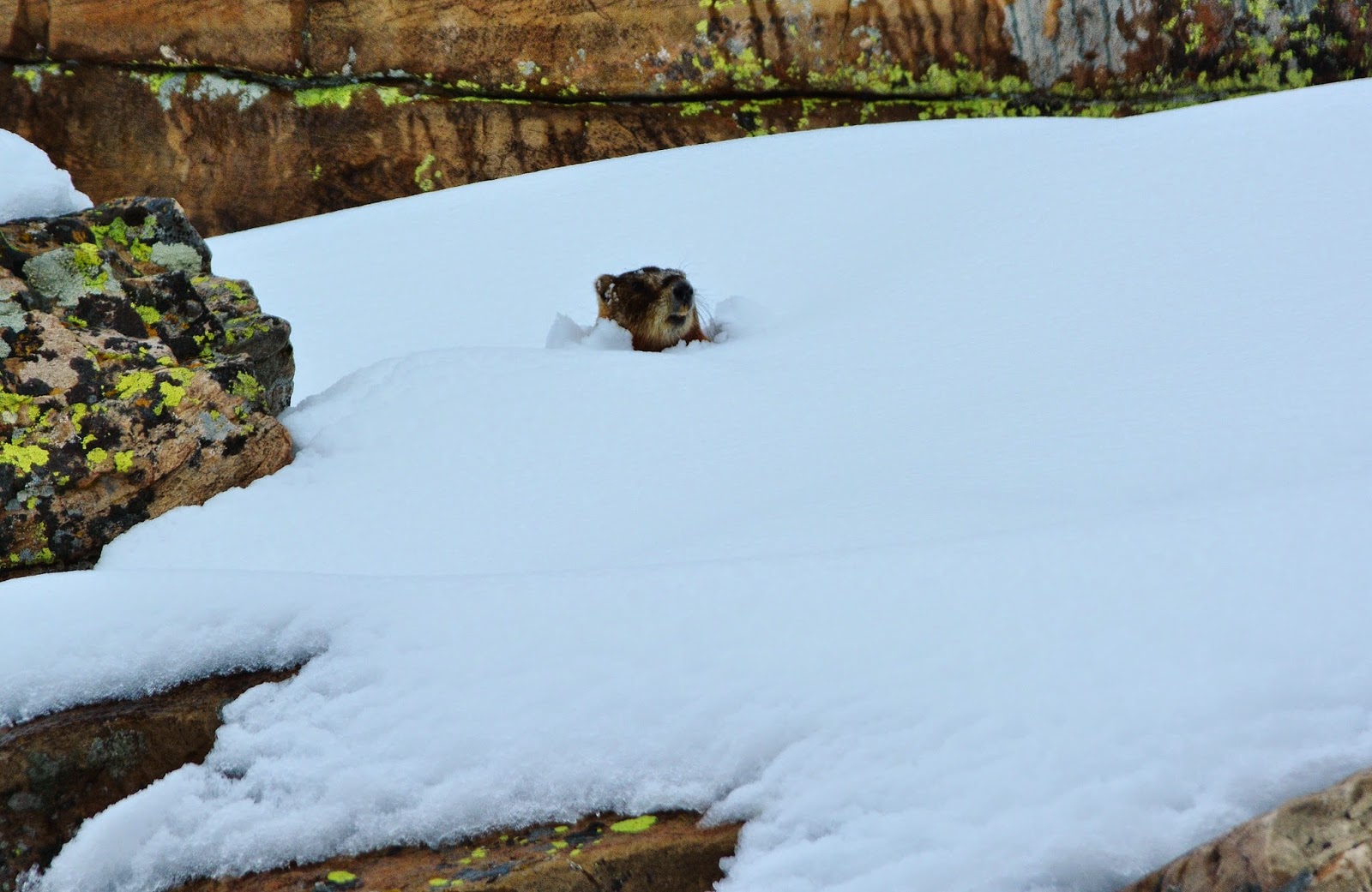
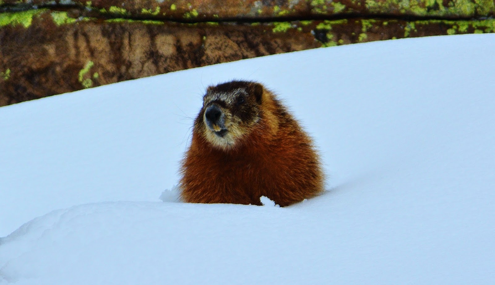
And once in a while resting flat on my back…..that in high traffic areas has more than once had hikers stand over me and say, “ARE YOU ALIVE?”
I must look pretty bad!…

…but this time, while resting,  I looked up to see that this old guy was being left behind in the vapor trail of the modern world!

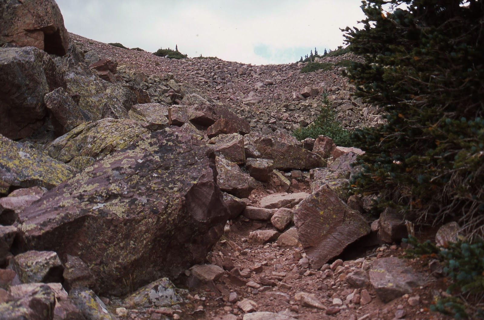
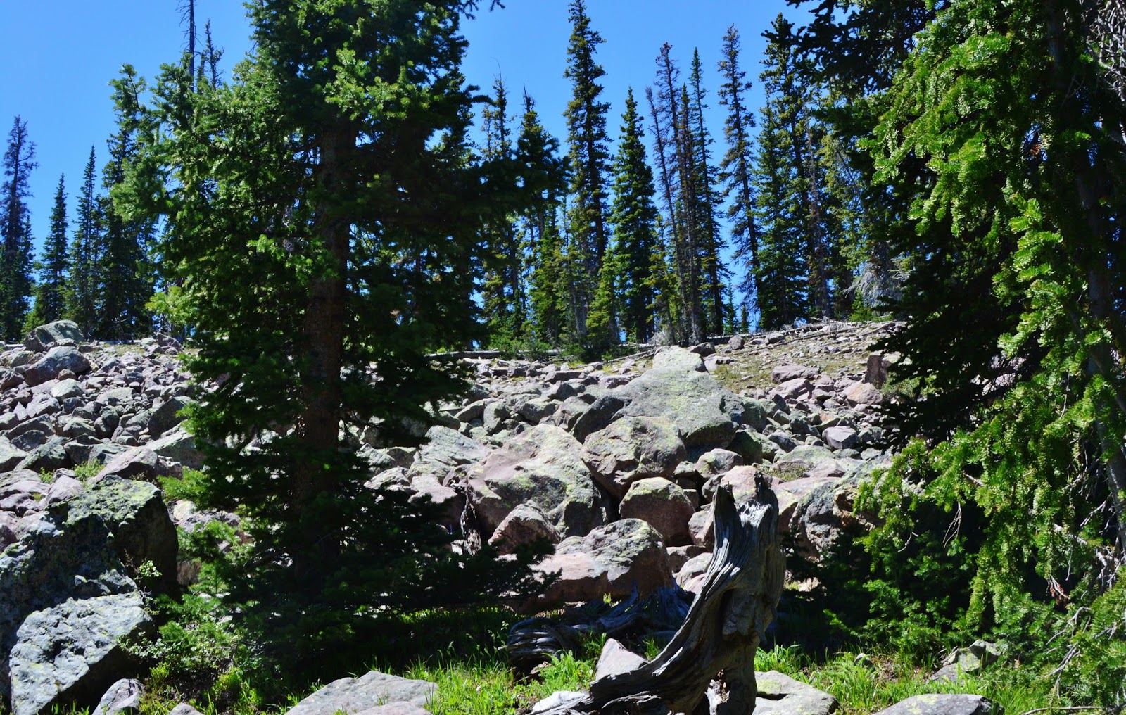
The bushwhack continued…..sometime getting a bit edgy with boulder fields to navigate…..

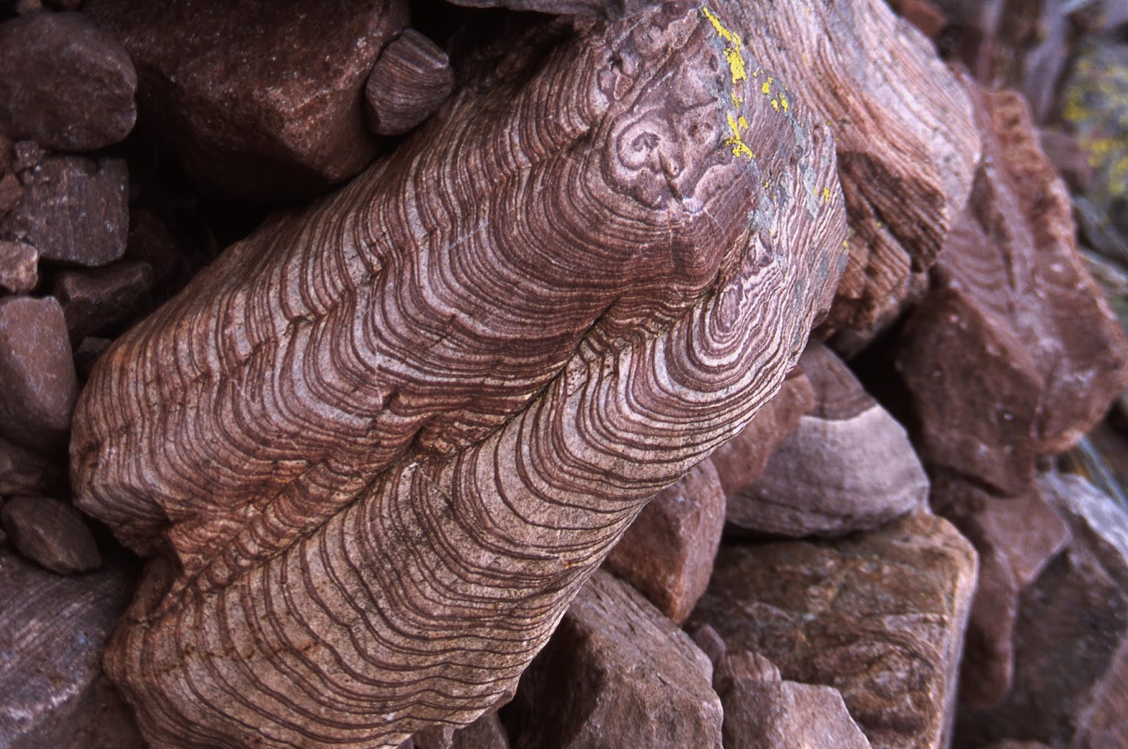
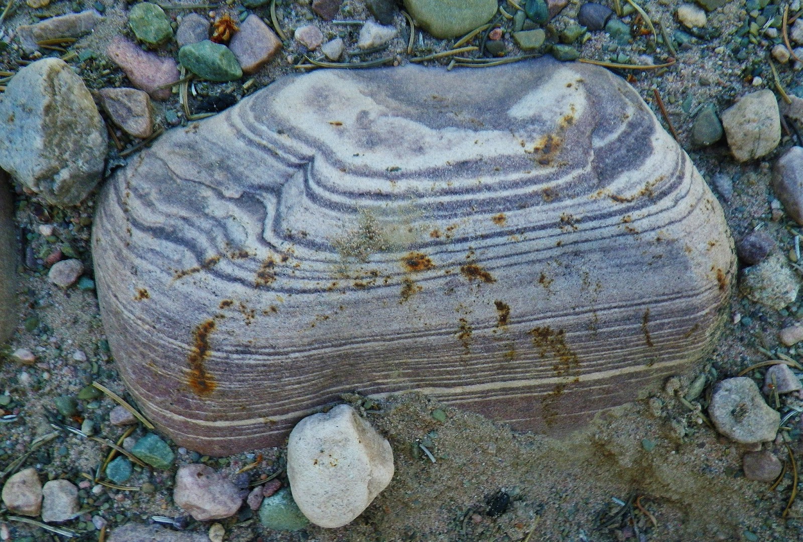
But even there I found incredibly beautiful and delicately waved VISIONS of the past geologic history of our High Uintas, highlighted by colorul (and drab)  lichens.

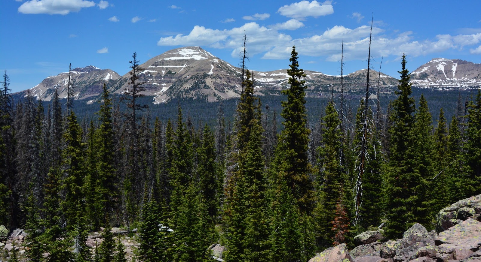
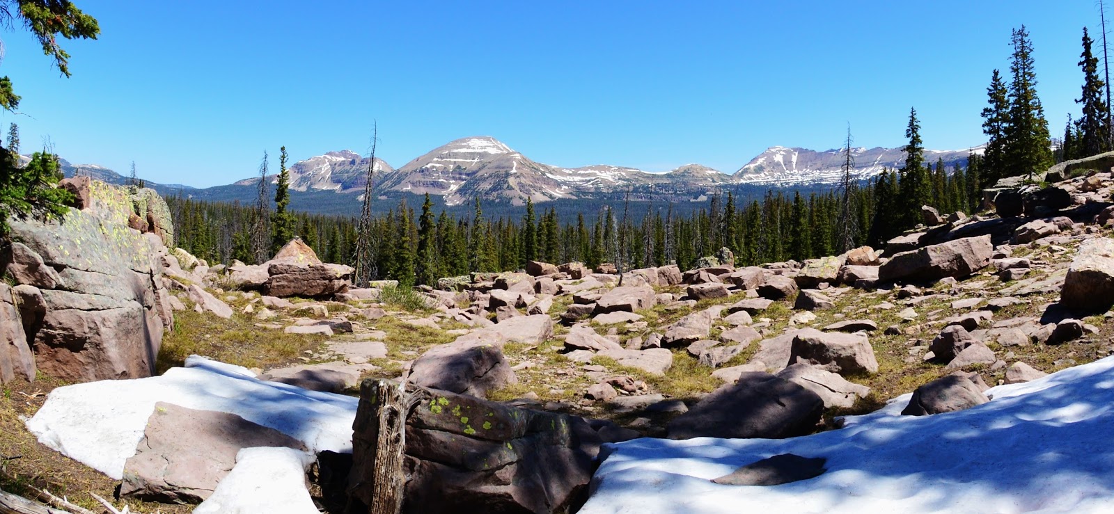
Eventually I got up high where I had spectacular views to the North, of Hayden Peak, Mount Agassiz, and Spread Eagle Peak.

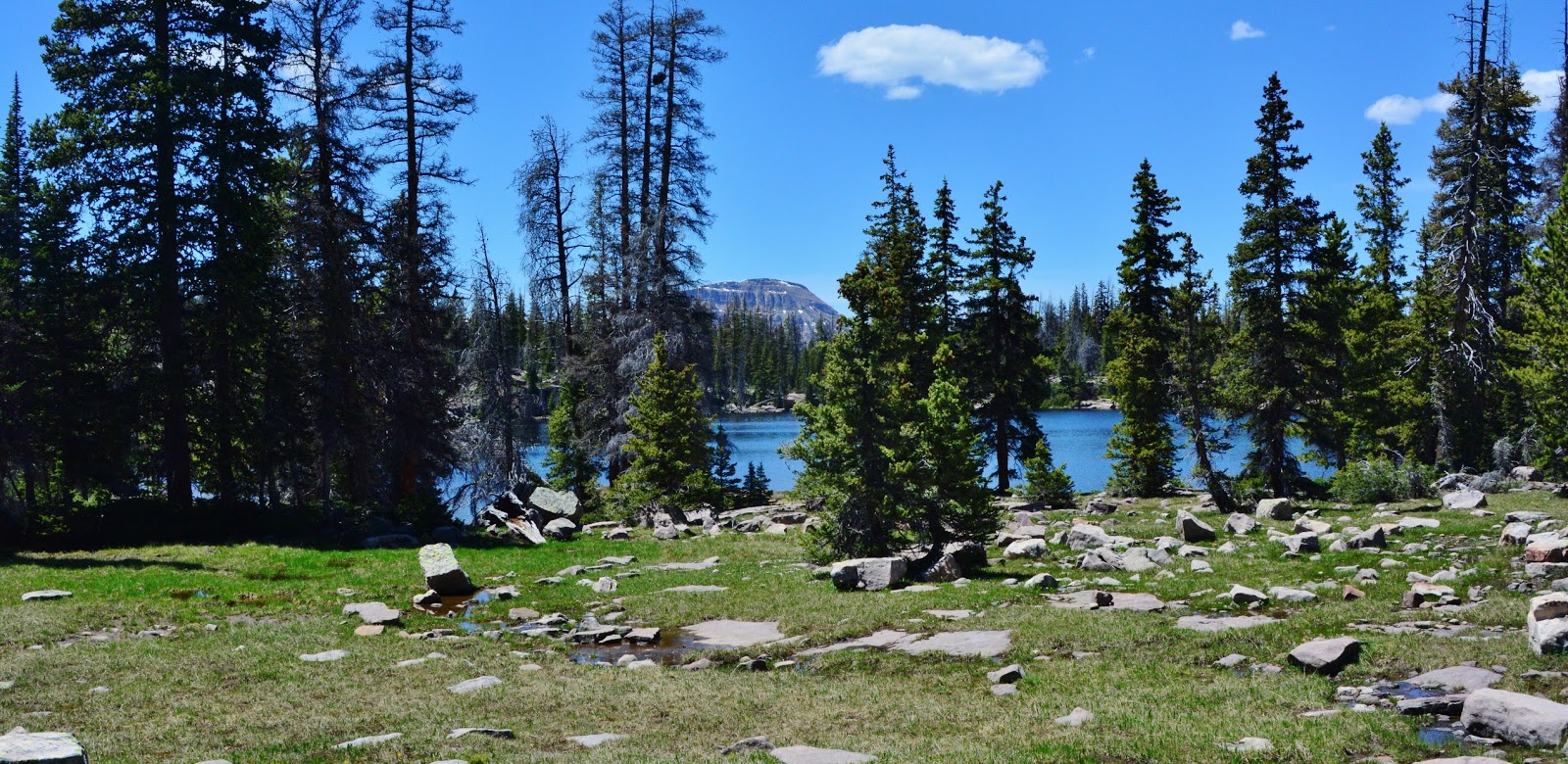
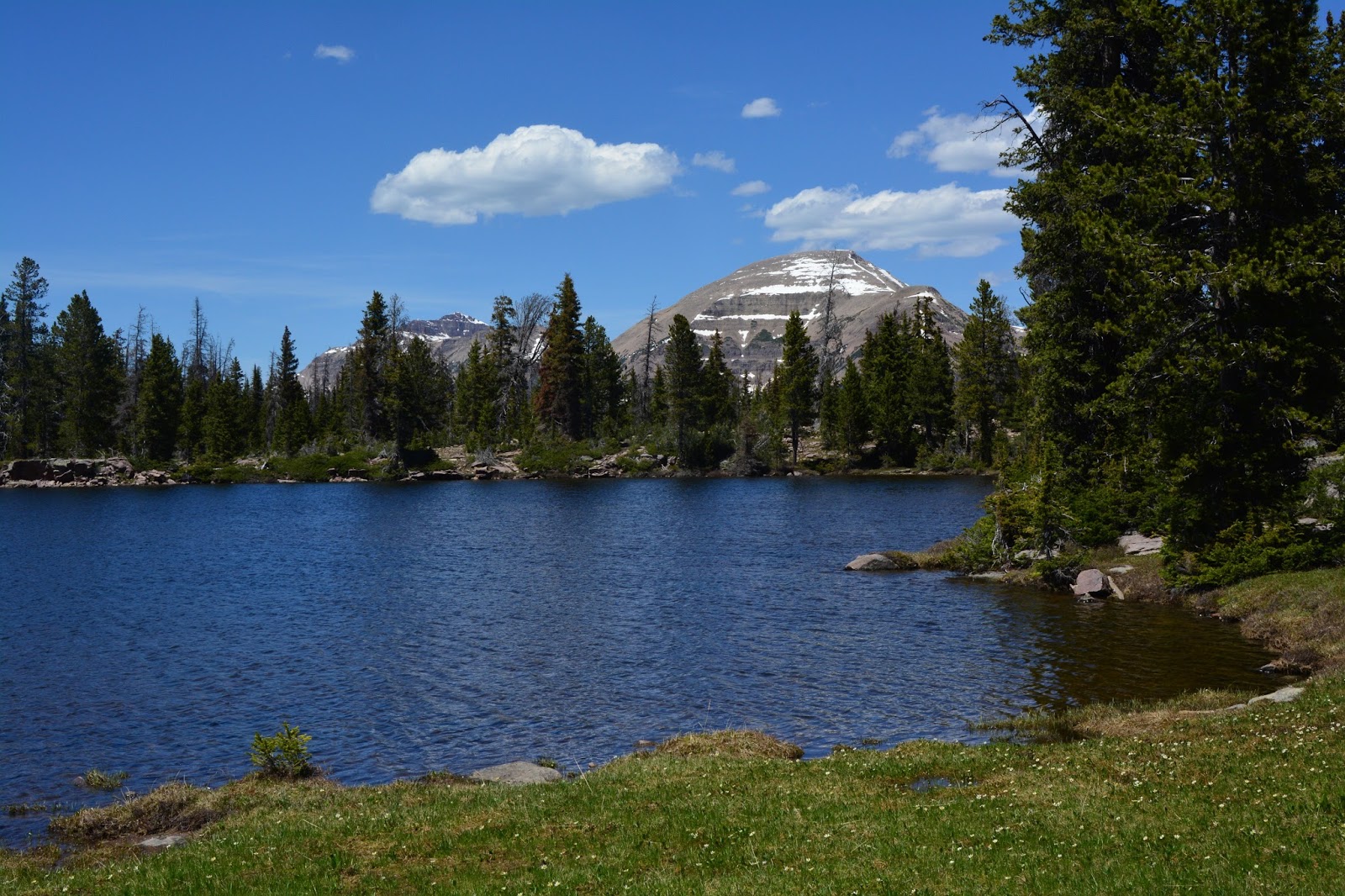
Finally my wilderness navigation worked out taking me to the last remote lake I had never got to before…..and MARGO LAKE came into view which will be our…….
LAKE #17

Over Margo Lake we see through the trees Mt. Baldy where in 2015 I had spent a week acclimatizing myself to high altitudes…..and below in the fish-eye view, we see Mt. Agassiz on the right.


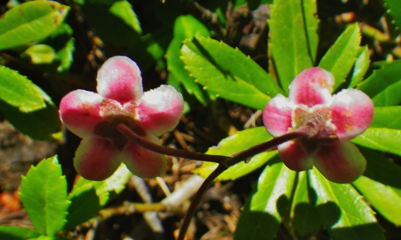
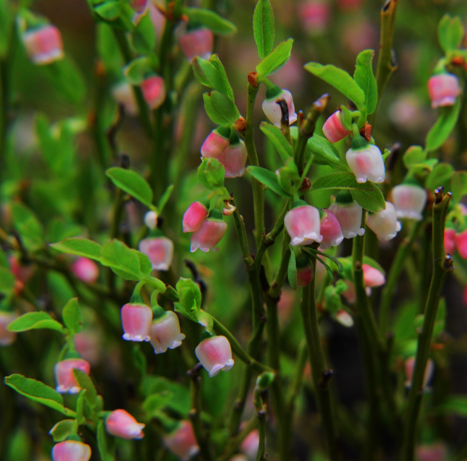
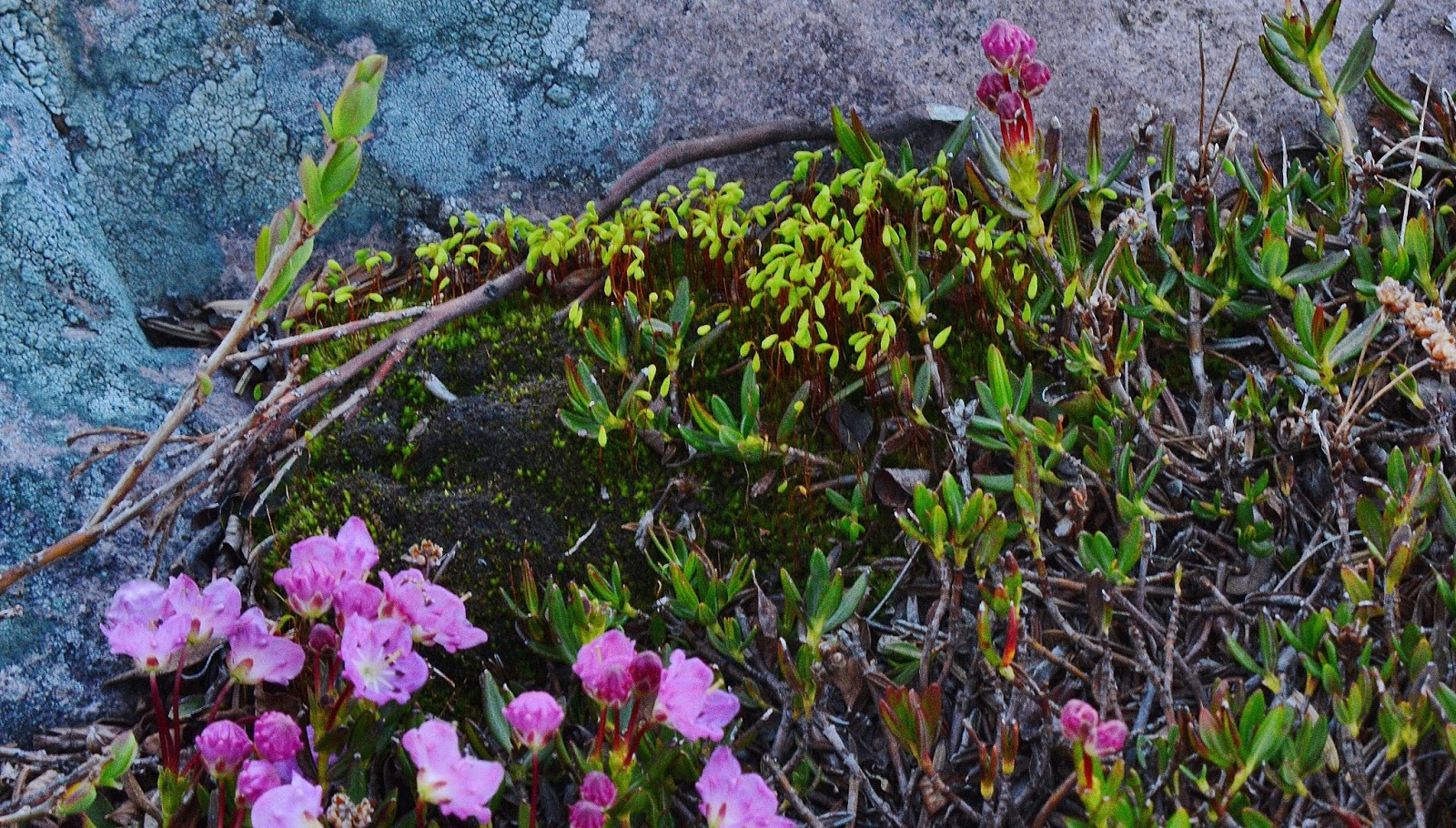
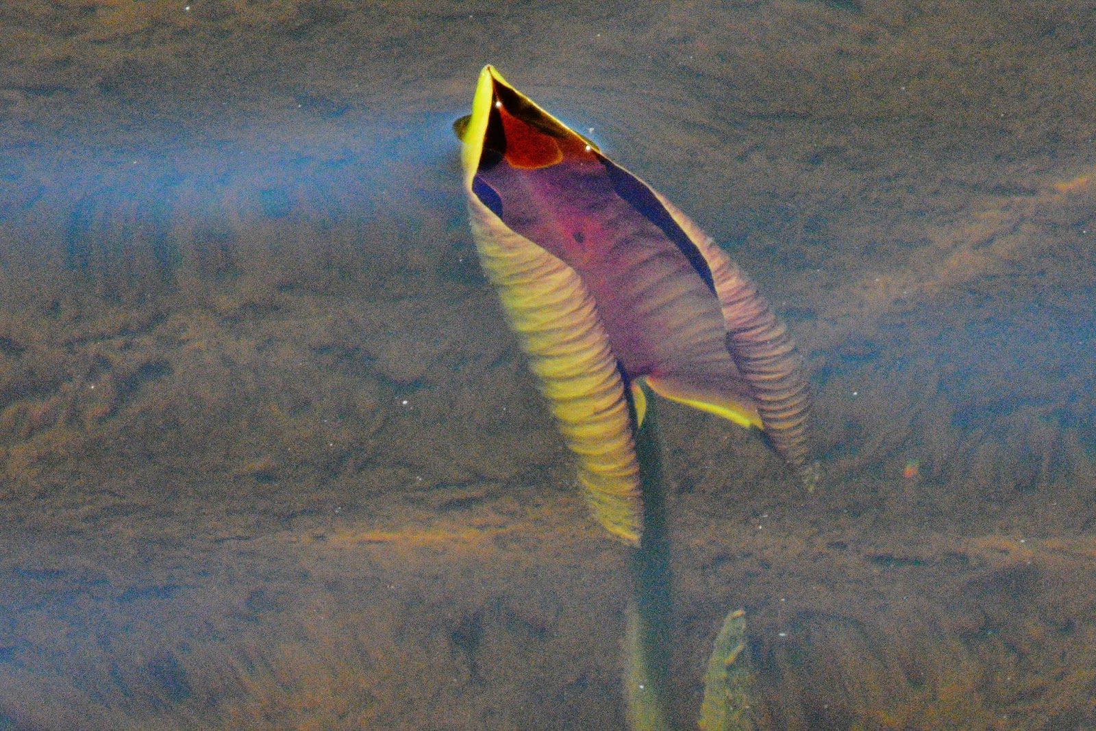
I set up my camp…dutifully more than 200 feet from the lake, then went down for water, and had the good fortune of finding BOG LAUREL, in all of its stages of development, which follow…..ENJOY!


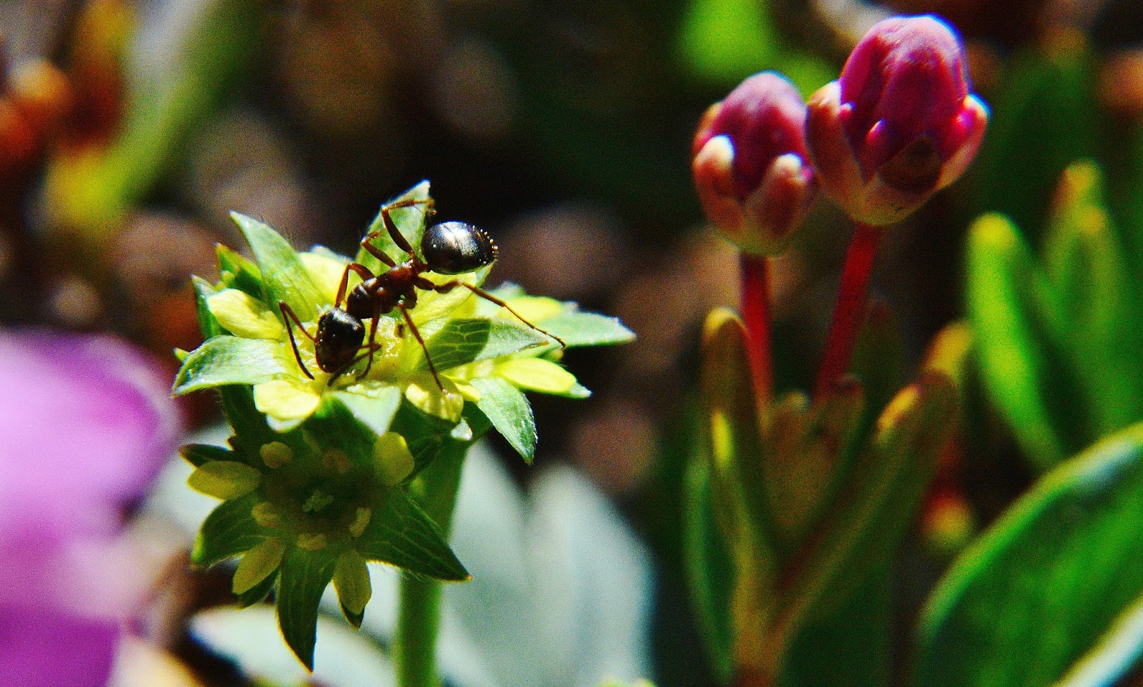
…..and here is the GIANT ANT!


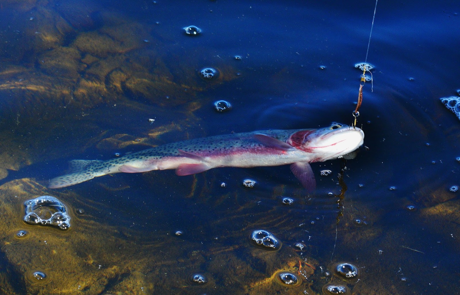
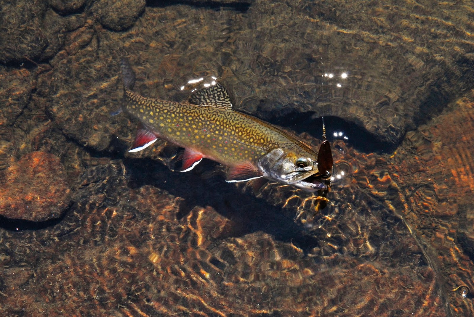
Then I went fishing…..with Mt. Agassiz looming over  this remote lake.  For a while there seemed to be no sign of fish life.  But, then when about ready to give up, a quite large trout followed my lure.


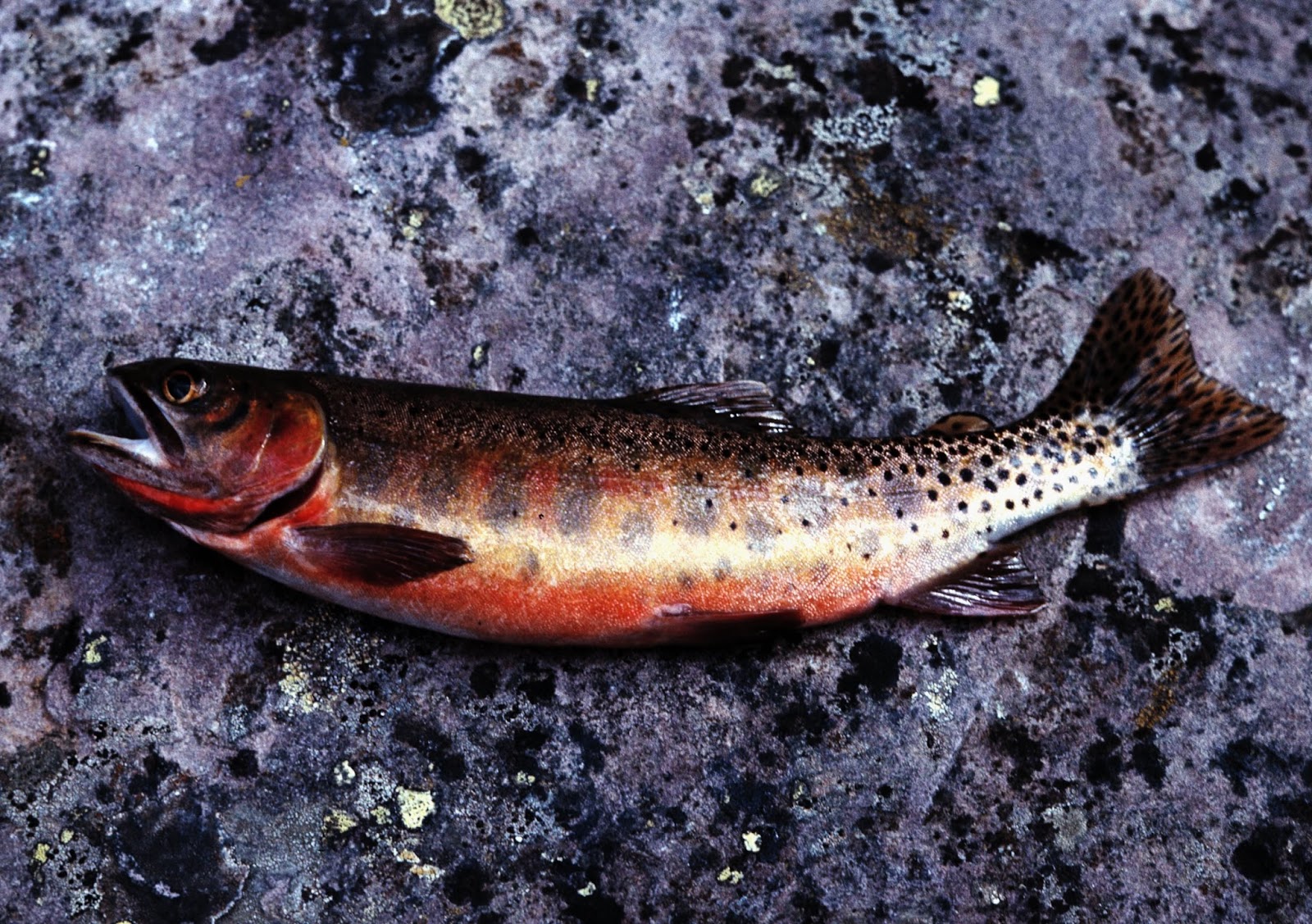
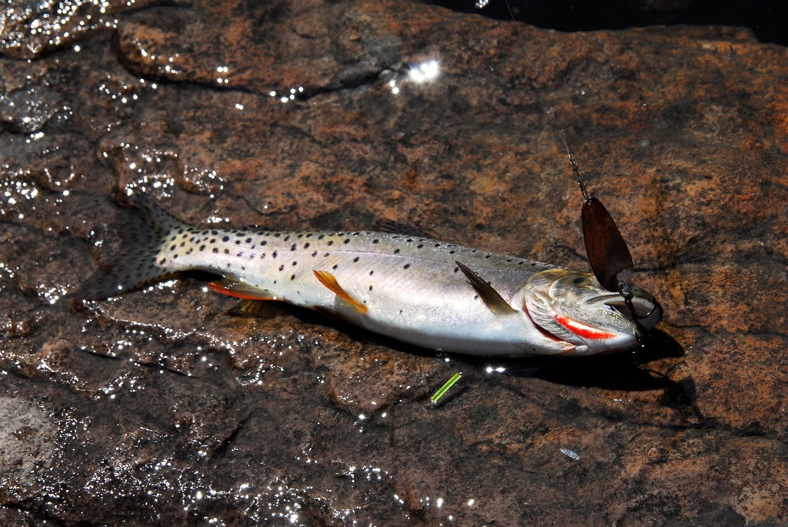
Soon I had one on and brought him in.  It looked like a Rainbow trout.

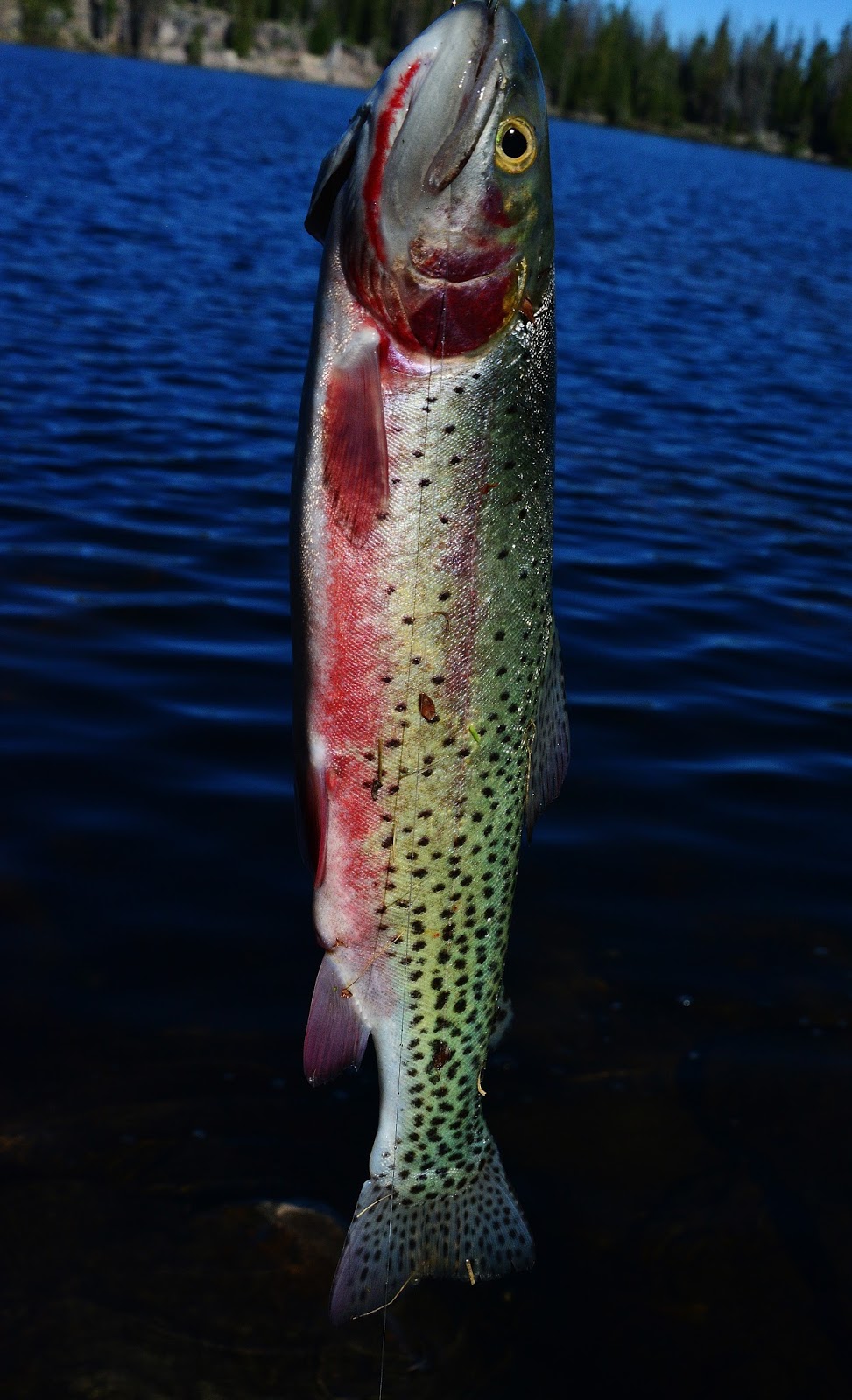
Another one showed a slash under its jaw making it a native cutthroat trout, but seemingly with coloration also of a rainbow.


Once home, I emailed Roger Wilson from the DWR, and sent him a picture or two.  He replied saying:

This appears to be a Strawberry cutthroat trout, which is the cutthroat we stocked in the past in the Uintas.  These fish were taken as eggs from wild brood-stock in Strawberry Reservoir that were primarily Yellowstone cutthroat trout with some rainbow hybridization and perhaps a little Colorado River cutthroat influence.  We suspended stocking these fish in the late 1990’s because we wanted to utilize the native cutthroat in stocking programs in the High Uintas which is the Bonneville cutthroat trout in the Provo, Weber and Bear River Drainage; and Colorado River cutthroat trout in the remainder. 

Then up to MARGO PASS, about 10,600 ft…… about the same as Hades Pass.
IMPORTANT NOTE:  To bushwhack and boulder-hop  up the mountain to Margo Lake I so totally wore myself out that the fatigue had me getting sick, weak and, I thought, unable to get back to civilization….so in the Backpack #1-2015 GRANDADDY LOOP photo/essay I detail a life saving SURVIVAL STORY that got me up to this pass–with a smile on my face,  and back to civilization.  If you haven’t already, you might want to check that out clicking on that link and scrolling down to the Margo Lake portion to memorize that life saving “REST OF THE STORY” that of course could save your life too!
You might have noticed by now that I’m from the time when we were all fans of Paul Harvey.
Here’s the view looking north from the pass with the mountains mentioned, and the Naturalist Basin nestled between Mr. Agassiz and Spread Eage peak.

From there we drop down to the south and work our way around quite large and picturesque PINE ISLAND LAKE. 
PINE ISLAND LAKE will be our …..
LAKE #18
In this panoramic view we look towards Margo Pass, which the extreme wide angle lens sort of flattens out so it doesn’t look like the big deal I felt it was as an old guy!

Pine Island Lake produces nice brookies.  Being as large as it is, you can find 
very good fishing if you sweat out going around to the seldom visited other side.

Within a stone’s throw to the east we visit LILY PAD LAKE, which will be our….

LAKE #19
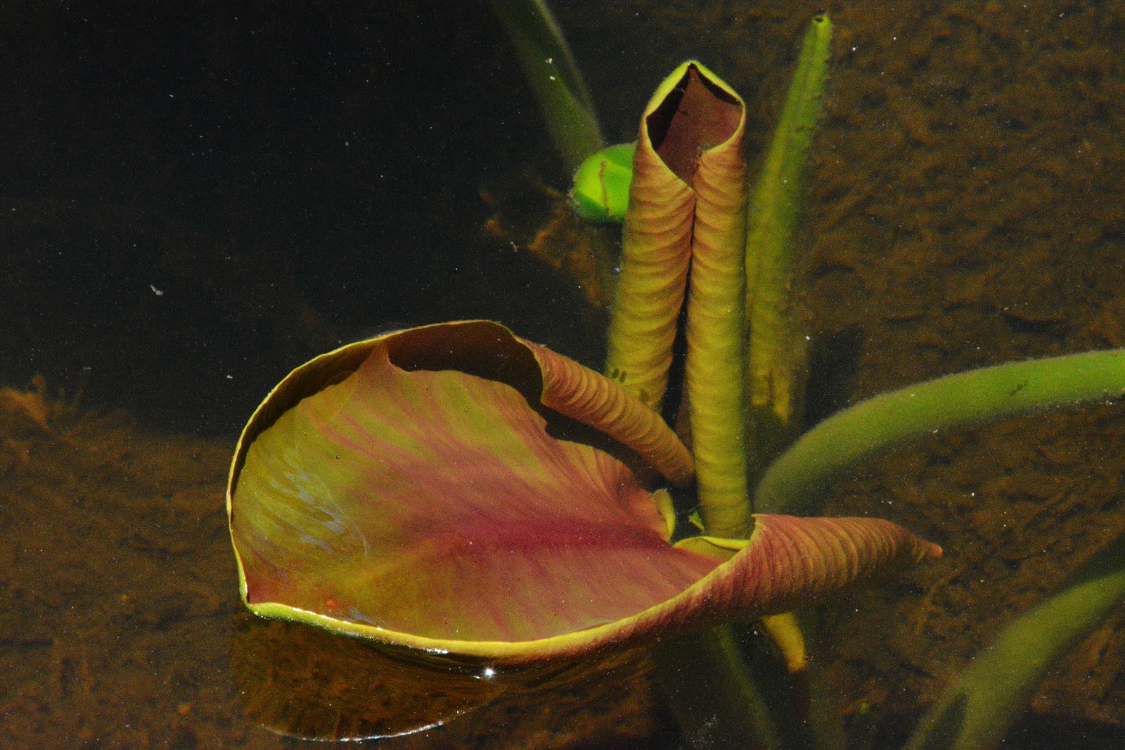
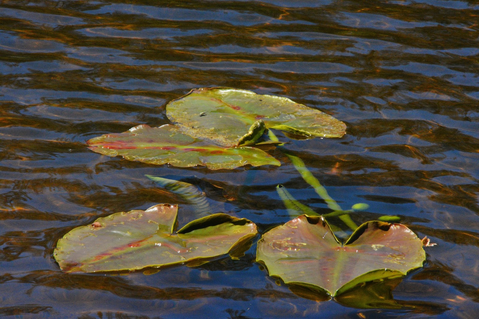
In this shot the “lily pads” are just beginning to develop.  I’ll insert below the way this beautiful plant develops.


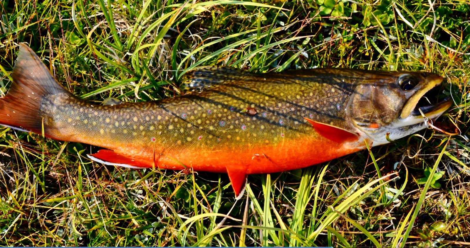
 Lily Pad Lake is full of Eastern brook trout like the one you see below.
They are more colorful than those found in some of the Grandaddy lakes, but still the COLOR CHAMP is from Porcupine Lake in the Oweep Drainage at the base of Squaw pass….I’ll insert one of them below.

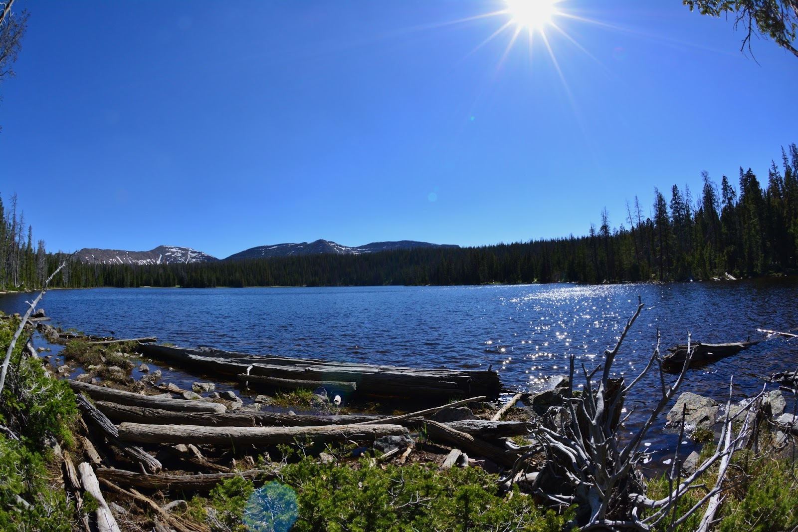
From Lily Pad and Pine Island Lakes we follow the trail south, dropping down to our next lake we see below: 

 FISH HATCHERY LAKE, which will be our….
LAKE #20
This nice lake produces brook trout like the one we see below.

From Fish Hatchery Lake we bushwhack up the mountain to the west and come to our next remote lake, which is…..


FARNEY LAKE, that will be our …….
LAKE #21


There is no trail to Farney Lake, so bushwhacking is the only way to get here.  Farney Lake contains Arctic Grayling, from my experience not too large.  You have to catch them with flies, using fly fshing equipment, or a fly and bubble with your spinning gear.


From Farney Lake, we will now go to another remote lake where bushwhacking is the only way to find it.    
We go  southwest a couple of miles and find SONNY LAKE, which will be our…..
LAKE #22


Sonny Lake has produced for me some very nice Eastern brook trout, like the one you see below.

 
From Sonny Lake we hike around it on the eastern side and very soon come to MARSELL LAKE which will be ……
LAKE #23

On my first trip to Marsell Lake I found the sign lying on the ground and did my best drilling a hole  with my tiny Squirt Leatherman tool, and with a peg hung it….marking it “HUNG BY ANDY”
On other trips to the lake the sign was no where to be found.

On that first of 3-4 trips to the lake I worked my way around the entire lake and on the far off western side caught these two magnificent native cutthroat trout each about 16 inches long!

From Marsell Lake you go down to the east, and at a meadow area with a large pond work your way up around some boulders to the south, and in less than a  mile come to……
…..our next and last lake in the Grandaddies, MOHAWK LAKE, which is our….
LAKE #24


Mohawk Lake contains both  brook trout you see above, and native cutthroat trout like the one below.


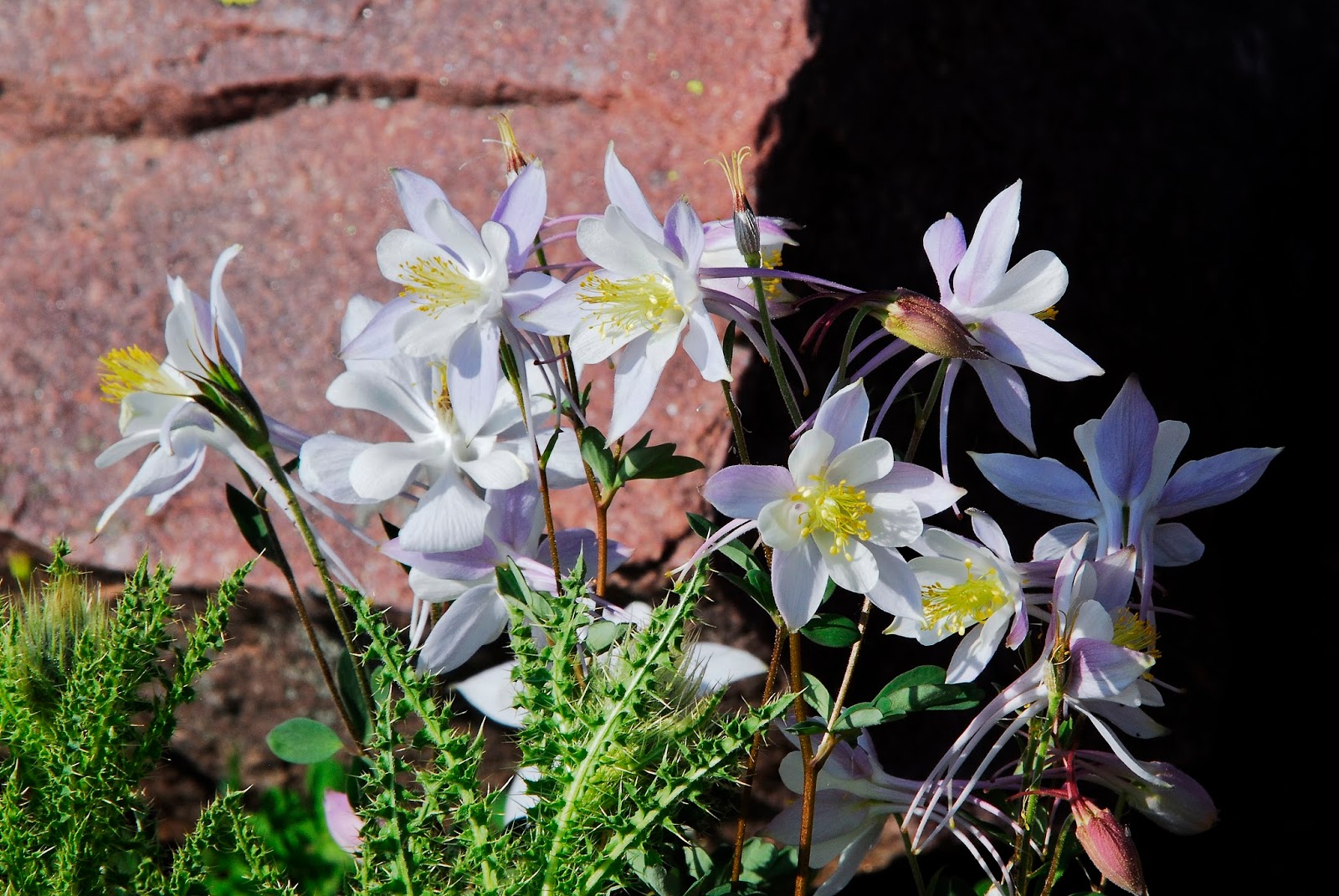
From Mohawk Lake I hike up towards West Grandaddy Mountain, clicking a shot as I go of the angelic COLORADO COLUMBINE,  to check some small lakes to see if they had fish…which they didn’t, and there got some telephoto shots of more Rocky Mountain Goats.


That pretty well completes our loop tour of the Grandaddy Basin, showing all the 24 named, fish producing lakes.

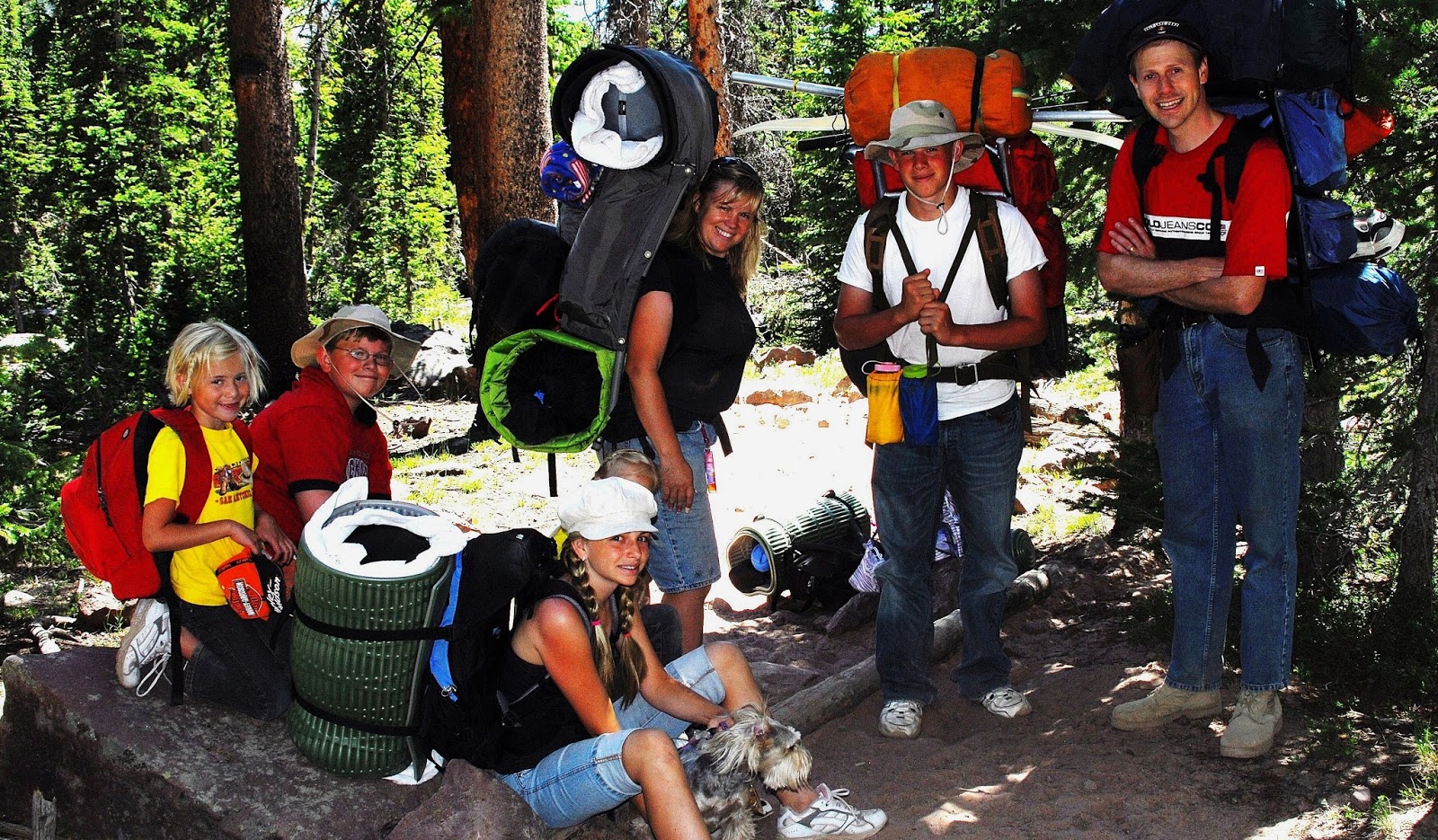
Last of all, we did another Family Backpack into the Grandaddies with my daughter, Mahana, son Nephi, and  daughter, Cindy, her husband Gisgard,  and their children–Isaiah, Maya, and Trinity.


Up the trail goes Gisgard, acting like a pack mule, for his daughter Trinity.


That night around the campfire we got into a discussion about wilderness navigation and I showed them how to locate the “big dipper,” and from there “the North Star,” and then took a 45 minute long photograph focusing on the North Star, showing how all the stars in the heavens circle around this star.


So, with  a  parting  VISION OF NATURE, the magnificent  FIRE WEED,  we head for civilization, 

And say goodbye to a couple of great backpackers…..and to …..

….another wonderful backpacking family met on the GRANDADDY TRAIL a few years ago…..

……Dr. Moesinger and his family from Ogden, whose son, David, gave me  a great quote, something like:
“YOU DON’T GROW OLD AND STOP BACKPACKING, RATHER STOP BACKPACKING AND THEN GO DOWN HILL AND GROW OLD!

The idea being for me….that I’VE GOT TO KEEP BACKPACKING TO AVOID GROWING OLD….I’m do my darndest in my 80th year–2015!
….and we say an affectionate 
GOODBYE TO
“THE GRANDADDY OF THEM ALL!”


YouTube video: PREPARE FOR BACKPACKING, D-DAY, Into the Wilderness, SPOT Tracker link….


UPDATE June 23, 2015:  I achieved my purposes on the Grandaddy Trip getting to the last remote lake & others completing my photo collection of all the lakes in the Basin, and meeting many new wonderful High Uinta Friends….plus having one of those amazing survival experiences and of course photographing many new VISIONS OF NATURE I want to share with all.   
I’ll be working on for me an “epic” photo/essay (& then YouTube video) combining the trip with a documentary including all the lakes which I’ll entitle….. 
 THE GRANDADDIES
Note:  Be patient it will take me a few days….remember my excuse….
…..”I’m an old geezer in my 80th year with top speed… my ‘stalking pace!'”
YouTube video: PREPARING FOR HIGH UINTAS BACKPACKING  
June 6th “D-DAY”
I had to do my part celebrating this incredible day–and the GREAT INVASION AT NORMANDY..
..without it and its success the world today would likely be a very different place!
  Thanks for those incredible heroes…..and since I’ll be now disappearing  (another “D-day”) from civilization for nearly a month…had to do my part to celebrate….
For all previous posts CLICK ON:  

D-day (“Departure day”)
I think I’ve got taken care of all the loose ends to be gone until June 30th, and will leave today (Sat. June 6th) for the Mirror Lake Scenic Byway and Bald Mt. Pass or the parking lot of the Highline Trailhead–likely alternating back and forth for a week to acclimatize my old ( but  hopefully “youthfull”) body to high altitudes, as that has been a problem in recent years at the beginning of the backpacking season.
I will hit my SPOT Tracker when leaving American Fork, and tonight wherever I get to with my tiny travel trailer, and maybe another time or two, until
June 11th when I will leave for the Grandview Trailhead to see some friends I haven’t seen in more than 50 years.
In that area I will go to where I can have internet access, in Hanna or Tabiona, and program my Tracker for my first backpack.  If conditions are right that will be into the Grandaddy Basin.  If not, further east where there was less snowfall.
If interested click here:   SPOT LINK 

My first satellite phone call report to KSL OUTDOORS RADIO will be June 13 from somewhere..between 6:05-8:00 AM…likely after the news at 7:00.

THE “GRANDADDIES” & GRANDADDY LAKE–the Uintas largest
In the background from the left:  Mt. Baldy, Hayden Peak, Mt. Agassiz, Spread Eagle Mountain, etc.

MIRROR LAKE SCENIC BYWAY OPENING – links to So. & No.SLOPES TRAIL CONDITIONS – ACCESSIBILITY, etc.

NOTE:  None of the photographs  can be used  without written permission from Cordell Andersen.  
EMAIL:  cordellandersen@hotmail.com

Click on the post of your interest:
   ANTI-AGING CHALLENGE:  A Humorous & Exciting Journey 

UINTAS SOUTH SLOPE TRAIL CONDITIONS – May 26, 2015
For Grandaddy, Rock Creek, Yellowstone Creek, Uinta River Trails

 ACCESSIBILITY..PRESENT CONDITIONS:  North & South Slope conditions

The YouTube video of  “DAZZLING HIGH UINTA BEAUTY”

 “Weird Old Homeless Guy…or…Eccentric Millionaire? What’s the old geezer up to this summer?  &
 FLY FISHERMAN MAGAZINE article

This report–mostly photographs–will give us an idea when we might be able to hoist our backpack to our shoulders and get on the trail….

The MIRROR LAKE SCENIC BYWAY  opened on Tuesday, May 19th

THE TRIP Thursday, May 21st.
We start again at the overlook of Jordanelle Reservoir.  We can see the water level is up from when the first report was made in early April after a very dry Winter, but followed lately by a wet Spring….which might save us!
From the overlook we see the High Uintas looming to the east.


I started in American Fork, making it 48 miles to Kamas…one of the Gateways to the High Uintas.


In Kamas I dropped by the Ranger Station to say hello, and was fortunate to find Genevieve Harmen, Wilderness Ranger, who I had met last year at Wilder Lake when on my way to PACKARD LAKE 
I had to use  capitals to honor my backpacking buddy TED PACKARD. 
 She I believe is from Oregon or Washington, and here to go to work in the Uintas….but like the rest of us, will have to wait and keep busy in the office for a while. 


Drive carefully as deer, and even moose cross the highway.  Driving slowly you’ll also see many beauties of nature those in a hurry miss.  Night time is especially dangerous with deer and moose crossing the road.


We are here between 8,000 and 9,000 feet, with nature coming alive.


We are here about 20 miles from Kamas and at the point where snow blocked the highway in my previous report on April 6th.

At about 24 miles  from Kamas we come to the Provo River Falls, and stop for a picture to compare with river flow in past years.


The river flow is way up from what it must have been on April 6th, and with the increased snow fall there will be more run-off than expected back in April.

I’ll insert a few shots from previous years for those interested in making comparisons.


NOW BACK TO THE May 21st, 2015 TRIP


Up the highway a few miles I had to get out of the way of a snow plow that was cleaning up the edges, and then pulled in behind him to the pass.


As you can see this first lake along the highway is still frozen over, but slushy.
We already went by the turn-off to the Trial Lake, and Crystal Lake Trailhead, still with slushy ice, but it won’t be long….depending on the weather.


At Bald Mountain Pass we see the weather station that transmits daily the temperatures and snow depth…which I update on my website every day or every other day.


This morning, snow depth here was listed as 44.9 inches, with 6 inches of new snow, but by right now reported as 41.8 inches. You can compare this with snow depths at this spot in previous years–but at much later dates. From Kamas it was about 29 miles to the pass.


Once again I’ll insert photos from previous years, as close as possible to the date of this report, but usually it has never been open this early.


You’ve already noticed that it varies a lot, but usually they try and have the highway open for MEMORIAL DAY, which this year worked. 


Now, back to May 21,  2015
We are now heading down towards the entrance to Mirror Lake which is still frozen over. Mt. Agassiz and Hayden Peaks are hidden by clouds.

We now view Hayden Peak as we climb up to Hayden Pass and the entrance to the Highline Trailhead.  Butterfly Lake is on the left.

Butterfly Lake


We see here the entrance to the famous HIGHLINE TRAILHEAD…..the sign is there somewhere, totally burried by snow. It will be a while before we can head down that trail!


Here’s just one shot from a previous year.

We have turned around to head back viewing here Mt. Baldy (officially, Bald Mountain), and Reids Peak.

Ahead I could see a medium sized animal crossing the highway and was climbing up a snowy slope to get into the rocks.  
 Of course I screeched to a halt!  Turned the motor, and radio off and waited with camera ready.  All of a sudden a head popped up through the snow.
With a little patience, he finally exposed himself.  It was a beautiful Yellow Bellied Marmot, out of his hibernation, likely due to the winter that was quickly disappearing back in April.


I was going to continue my photography, but all of a sudden a snow plow roared up behind me and I moved quick, heading on down the highway.

Down in the lower country I stopped for a bit of lunch at a point where there are many beaver dams, hoping to get some shots of these incredible “engineers of the mammal world,” but rather all of a sudden heard a loud squawking…..


….and got a few shots of a couple of beautiful Sand hill Cranes.


Of course, I’m itching for the backpack season to start…and while we need the snow/rain/water that has come lately…I’m still asking my friends, 

WHERE’S THE “GLOBAL WARMING” WHEN WE NEED IT?

I’m raring to go with my brand new, revolutionary OSPREY ATMOS 65 backpack with a suspension system that is incredible they are calling “anti-gravity” and it really does feel almost weightless as it wraps around your back with even contact everywhere, total ventilation, and doesn’t even feel like it’s there!
Looks kind of lumpy, as it only has in it my basic pack equipment:  Sleeping quilt, air mattress, tent, poncho, rain parka, gravity water purification system, cooking items & fire making stuff, including new lightweight stove,  SPOT Tracker, & fishing equipment, only coming to 15 lbs. 
Still have to add my sat phone, emergency & toiletries bag, extra clothes, food and water…..
…….and oh, I almost forgot, my new photography waist pack fully loaded that weighs 11 pounds!!!  That includes my tripod that weighs more than my tent, and special wide angle lens that weighs as much as sleeping quilt & air mattress combined!  Maybe for my longer backpacks…. I’ll have to get serious and just go with my tiny waterproof point and shoot camera that weighs less than my SPOT Tracker.
Next week I’ll update my GEAR/SUPPLEMENT section with all the new stuff, as well as my ANTI-AGING article and links to all the stuff that keeps me going in my 80th year. 
So, I’m ready to go, but not by June 4-11th as originally scheduled. Rather by those dates will pull my trailer up to camp out on Bald Mountain Pass to acclimatize myself, and then hopefully by mid-June be on the trail with my buddy Ted Packard.

Like a young friend I met on the trail with the Moesinger Family a few years ago, 

“YOU DON’T GROW OLD AND STOP BACKPACKING, rather STOP BACKPACKING AND GROW OLD….QUICKLY!”
So, I have no intention of stopping of my own free will…but will keep at it and NEVER GROW OLD!  (ha, ha, ha, everybody laughing!), but like I have said,

Uinta South Slope Trail conditions – May 26th

From: Harper, Sheila L -FS 
Sent:
 Tuesday, May 26, 2015 9:20 AM
To:
 cordellandersen@hotmail.com
Subject:
 Trail Conditions
Hello,
Here is an update on trail conditions:
·         The Yellowstone (# 057) is cleared of downed trees until you reach the Bluebell Pass turn off. Trails are very wet above the Garfield Basin turn off; expect snow on the ground above 9500 feet or higher. River crossings are moderate to high.
·         Uinta Canyon Trail (# 044) is cleared until 1.5 miles past the wilderness boundary. Anything above 10,000 feet is snow covered with rivers running moderate to high.
·         Chain Lakes trail (# 043) is cleared to the wilderness boundary. Trails are dry but snow is visible around the chain lakes area.
·         Rock Creek trail (# 069) is now open and the rock scaling is complete. This trail is cleared 4 miles past the wilderness boundary.
·         The road that leads to the Grandaddy TH is still closed. This area has received a lot of snow the past couple of weeks.
All other trail conditions are unknown, but I would expect the trail conditions are about the same, with rivers running moderate to high and snow above 9500 feet.

Sheila Harper 
Customer Service Representative
Forest Service
Ashley Nation Forest, Roosevelt/Duchesne Ranger District
p: 435-738-2482 
f: 435-781-5215
 
sharper02@fs.fed.us
Po Box 981
85 West Main Street
Duchesne, UT 84021
www.fs.fed.us
 
Caring for the land and serving people