UPDATE 4/3/22: WAY UP GROVE CANYON — “VISIONS OF NATURE” blossoming/being REVEALED — Tour of the HIGH UINTA WILDERNESS continues — to HELL’S HOLE BASIN & discovering “The UNSUNG HEROES without whom THE WEST WOULDN’T HAVE BEEN WON”
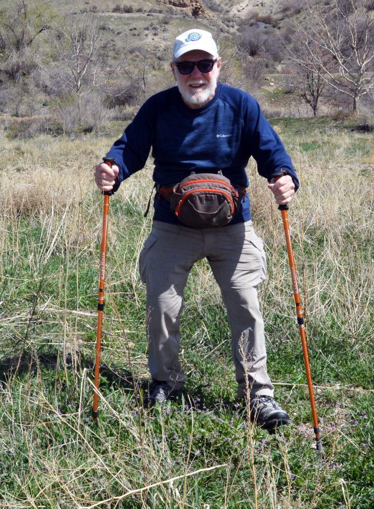
UP GROVE CANYON AGAIN–THIS TIME GOING FARTHER THAN I EVER THOUGHT I WAS CAPABLE OF…..THANKS BE TO THE LORD!
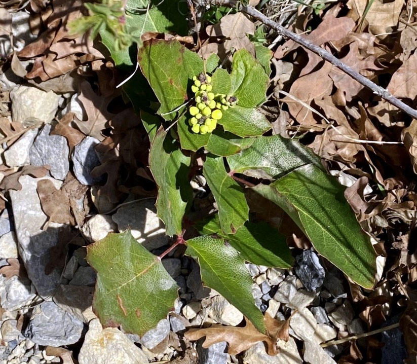
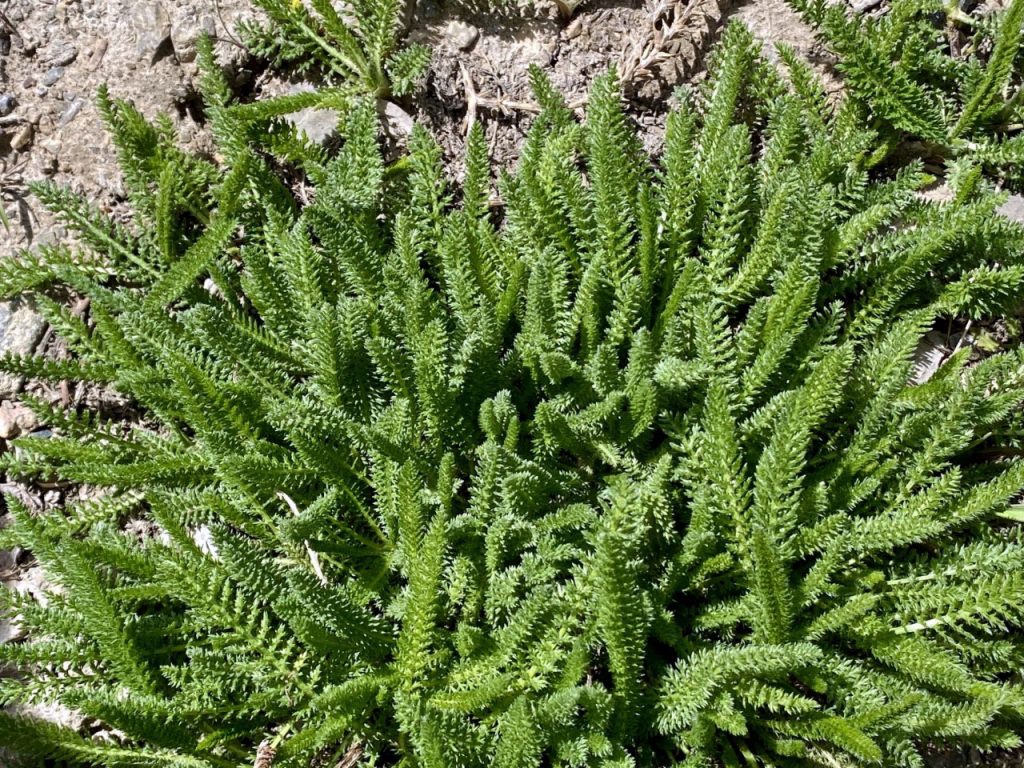
OREGON GRAPE one of the first plants brightening our hills and mountains.
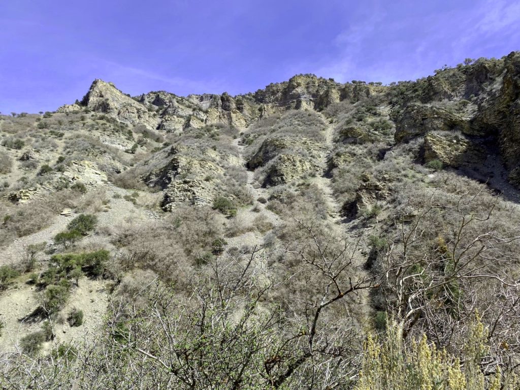
THIS ONE WAS TOO BIG TO TAKE HOME & PROCESS–IT WAS THE WHOLE MOUNTAIN SIDE!
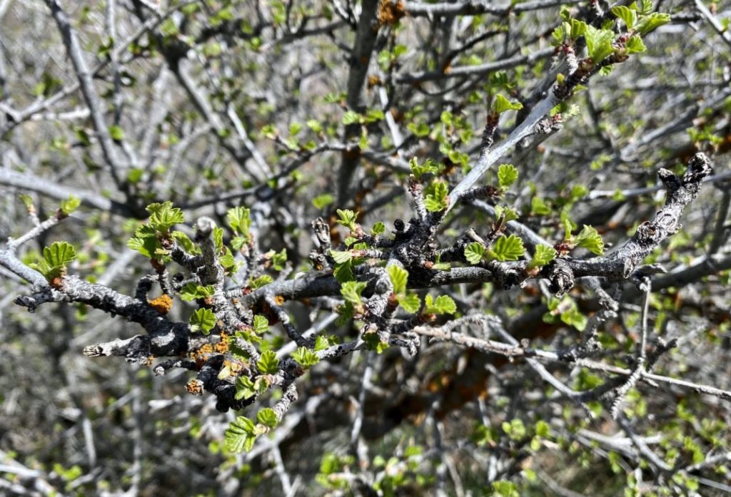
LOOKS PRETTY BARREN STILL, BUT ZOOMING IN WE SEE SIGNS OF LIFE!
FOR ME UNENDING MARVELOUS…..
“VISIONS OF NATURE”
WE’LL TAKE A PICTURE OF THIS ONE EACH WEEK TO SEE HOW IT DEVELOPS.
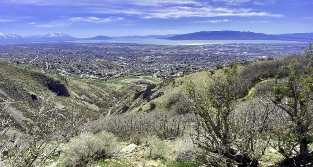
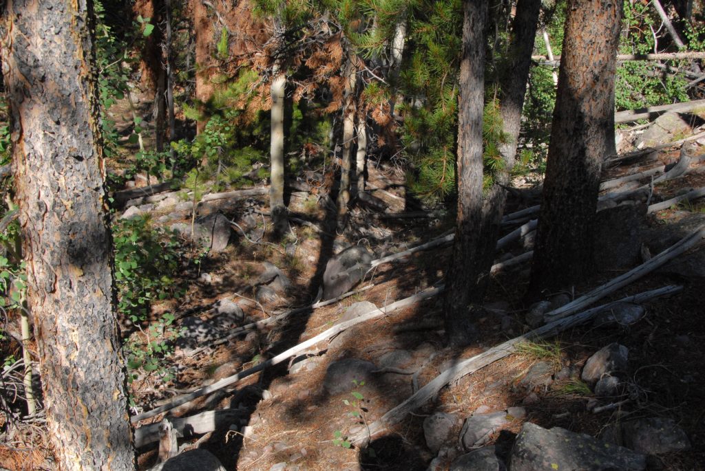
LAST WEEK I GOT TO THE FACE OF THE MOUNTAIN WHERE YOU SEE WAY BELOW US A WINDING TRAIL RIGHT CENTER…..AND FELT GREAT SO KEPT CREEPING UP THE MOUNTAIN!
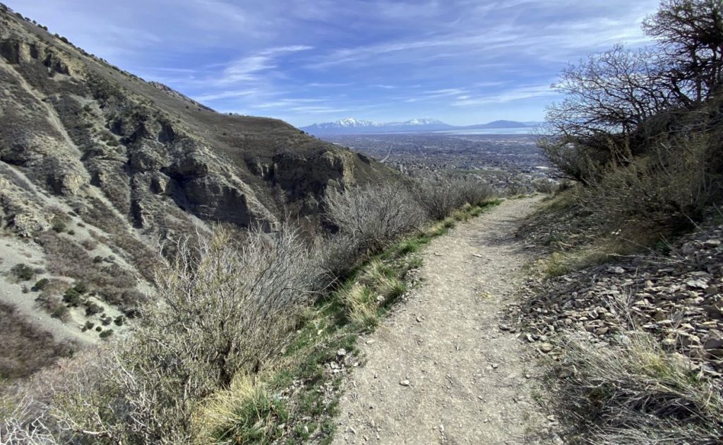
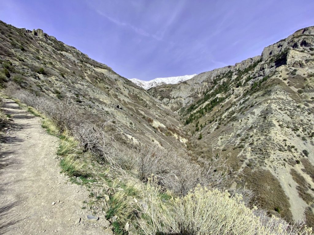
I GOT TO WHERE YOU CAN SEE THE TRAIL GOING UP TO THE V SHAPE IN THE CANYON WHERE THERE ARE WATERFALLS, THEN A BENCH WITH A PLAQUE ABOUT SOMEONE WHO LOST THEIR LIFE UP HERE YEARS AGO, THEN A BRIDGE, & INTO THE ASPENS…..I’LL GET TO THEM SOON! A YEAR AGO WHEN I COULDN’T WALK, I WOULD HAVE NEVER BELIEVED I’D BE BLESSED WITH DOING SO MUCH–EVEN THOUGH ADMITTING IT IS ISN’T EASY!
WE NOW CONTINUE OUR TOUR OF THE HIGH UINTA WILDERNESS, following the descriptions in the book pages 175-176.
GET THE ONLINE BOOK SO YOU’LL HAVE MUCH MORE DETAIL, INCLUDING TOPOGRAPHICAL MAPS.
To get an online copy of this book, some have called THE ENCYCLOPEDIA OF THE UINTAS, send me $20 (don’t be afraid of sending a $20 bill as we aren’t south of the border) along with your email address, and I will immediately email you the link to download the book with my permission to share once with a friend. Or, send $25 for a thumb drive that will have the book, plus The History of it’s creation as detailed in a speech I gave at the Utah Valley Historical Society; plus my CHECKERED HISTORY & VISION QUEST–0-22 years. Send to: Cordell Andersen, 444 Elm St., American Fork, Utah 84003
pages 175-176 of the HIGH UINTA BOOKTHERE ARE NO SIGNS AT THIS TRAILHEAD, AS IT IS ONE OF MY “unofficial” ONES. TO HELP ORIENTE YOU I’LL INSERT BELOW A GOOGLE EARTH VIEW OF THE ROAD YOU TAKE TO THE RIGHT, GOING DOWN TO A CIRCLE WHERE YOU SEE A CAR.
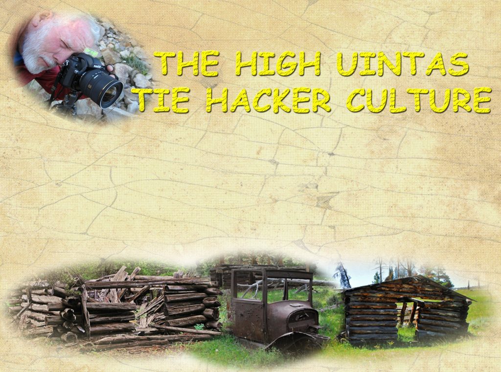
WE SEE MY CAR PARKED DOWN WHAT I CALL “THE HILLIARD FLUME PATHWAY” CONSTRUCTED IN 1870 BY THE “TIE HACKERS.”
Along with getting you the 5 miles to the HELL’S HOLE BASIN & ITS LAKE, I will introduce you to the “UNSUNG HEROES WITHOUT WHOM THE WEST WOULDN’T HAVE BEEN WON–THE TIE HACKERS.”
In the 1860’s the Transcontinental Railroad was being built crossing the U.S. and in 1867 millions of railroad ties were needed to get it across Wyoming and Utah. Irish immigrant lumbermen were hired to work 12 months a year in the North Slope of the Uinta Mountains with their broad axes to make railroad ties. They became known as “THE TIE HACKERS!” Without their railroad ties there wouldn’t have been a Transcontinental Railroad–yet in the history books about the construction of the railroad, tie hackers are never mentioned, nor given any credit.
MY BOOK HELPS REMEDY THAT HISTORICAL ERROR, AS I DISCUSS THEM, THEIR HEROIC EXPLOITS, COURAGE WORKING RIGHT THROUGH THE WINTERS, THEIR GHOST TOWNS–one of them called, “The liveliest, if not the wickedest town in America,” another site named “SUICIDE PARK,” AND HOW THEY GOT THEIR TIES NORTH INTO WYOMING. One way was described in a Forest Service display on the Whitney Road a mile or so north from the Hells Hole Trailhead, taking off up to the west. Said display has weathered away and is today illegible, but I got the following picture back in the early days of my UINTA PROJECT.
The Hilliard Flume takes off from Gold Hill, to the west of the Mirror Lake Scenic Byway, accessed up the Whitney Road. The history books say no remnants remain of the flume, as by 1880 it fell into disuse, the materials cannibalized by ranchers and others, or rotted away–EXCEPT FOR WHAT I HAVE PHOTOGRAPHED–ALONG WITH MUCH OF THE HISTORY IN MY BOOK, in YouTube VIDEOS ACCESSED FROM MY WEBSITE & IN THIS WEBSITE REPORT.
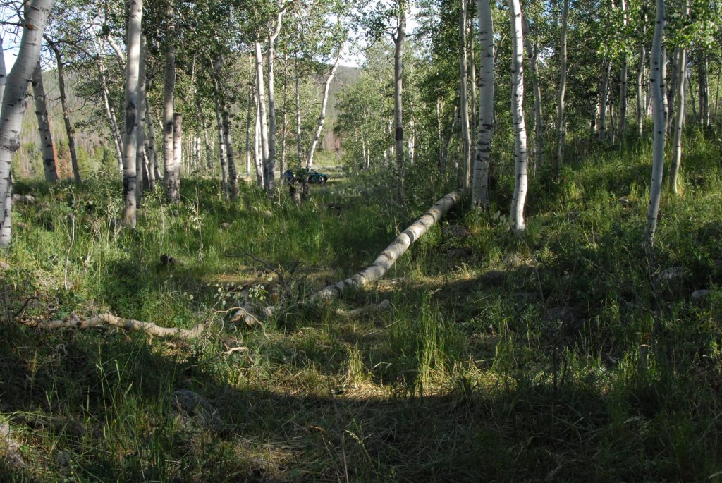
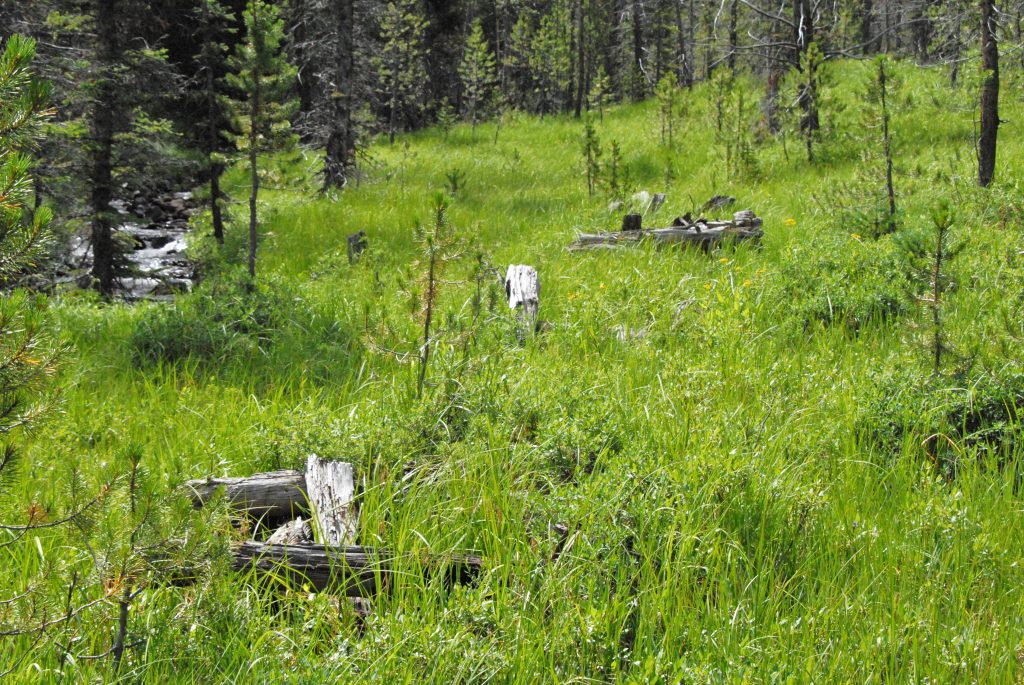
To get to Hell’s Hole Basin, from the edge of the parking circle in the Google Earth view, a trail crosses Hayden Fork, and goes east between two hills towards Main Fork of the Bear River. Main Fork was crucial for the Hilliard Flume as water was needed for the flume, so the HOWE FEEDER FLUME was constructed taking water out of Main Fork, said flume coming between the two hills, then downstream it added its water to the Hilliard Flume. As you do the short hike to Main Fork, keep an eye out to your left and you should see what I picture below–unless it is all rotted away since it was way back in the 1870’s, with most of it today gone–EXCEPT IN MY PHOTOS WHICH ARE THE ONLY ONES PUBLISHED OF THIS GREAT EFFORT.
AS YOU GET CLOSER TO THE ROAD THAT PARALLELS MAIN FORK, KEEP LOOKING TO YOUR LEFT and YOU SHOULD SEE A CUT IN A SIDE HILL THAT WAS THE PATH OF THE FLUME.
HERE WE ARE SEEING THE PATHWAY OF THE FLUME FROM UP ON THE HILL WITH THE TRAIL IN THE DISTANCE–UPPER LEFT CORNER.
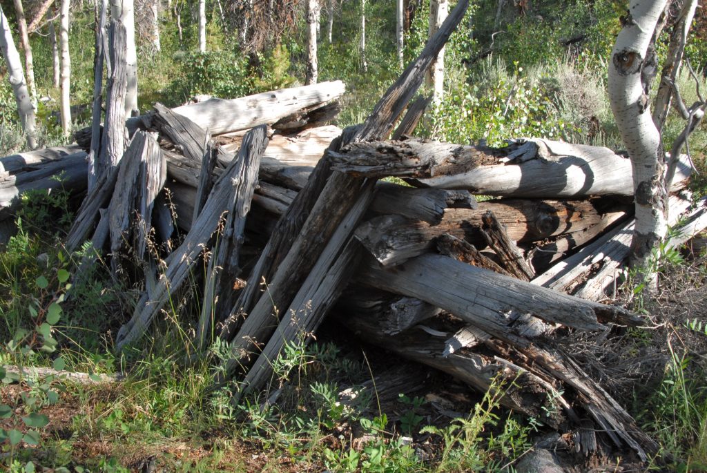
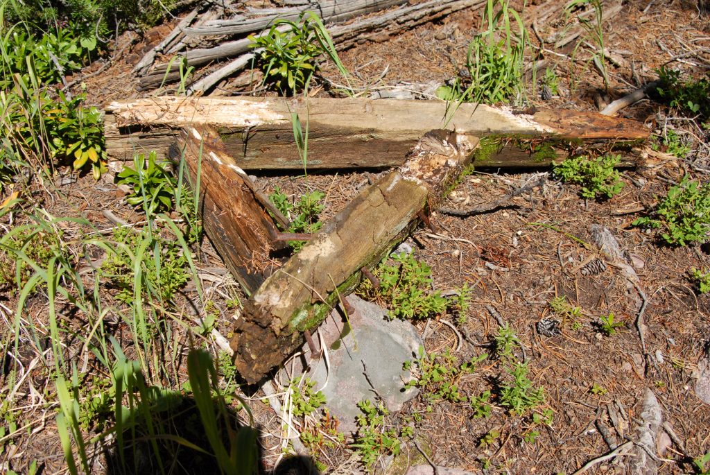
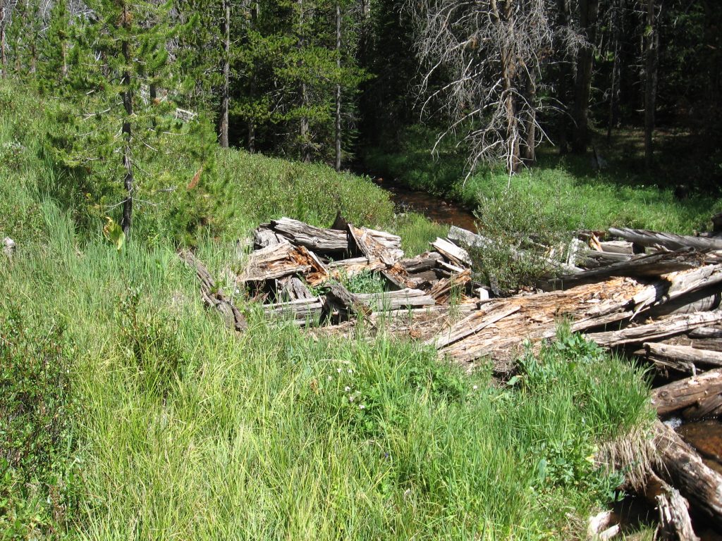
THEN YOU COME TO A ROAD–A CLOSED ROAD–AND CONTINUE SOUTH, and AS YOU GO LOOK TO THE AREA BETWEEN THE ROAD AND THE STREAM AND YOU’LL NOTICE A LEVEL AREA PARALELLING THE STREAM--IT WAS ALONG THIS LEVEL THAT I BEGAN DISCOVERING RUINS OF CABINS, SUPPORTS FOR THE FLUME & PLANKS.
RUINS OF CABINS, STUMPS, ETC. FROM THAT PERIOD, OVER 150 YEARS AGO, ARE MOSTLY ROTTED AWAY and even more so now than when I took these pictures more than 10 years ago.
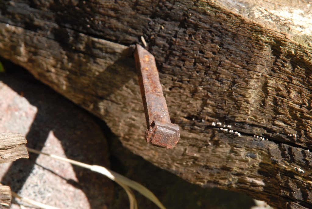
CABINS FROM THAT PERIOD (1867-1880) CAN BE IDENTIFIED BY: MOSTLY ROTTED AWAY, SMALL SIZE, NO WINDOWS, & ROCKS FROM CHIMNEYS AS THEY DIDN’T USE CAST IRON STOVES. OF GREAT IMPORTANCE IN IDENTIFYING RUINS FROM THAT PERIOD ARE THE NAILS–SQUARE NAILS as you see below. Round nails were not invented until 1910.
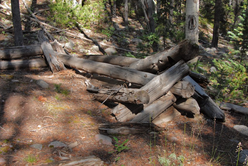
GRADUALLY I BEGAN FINDING REMNANTS OF THE FLUME, FIRST WITH BRACES OR SUPPORT STRUCTURES, ALWAYS WITH SQUARE NAILS–80 tons of them were used in the construction of these two flumes.
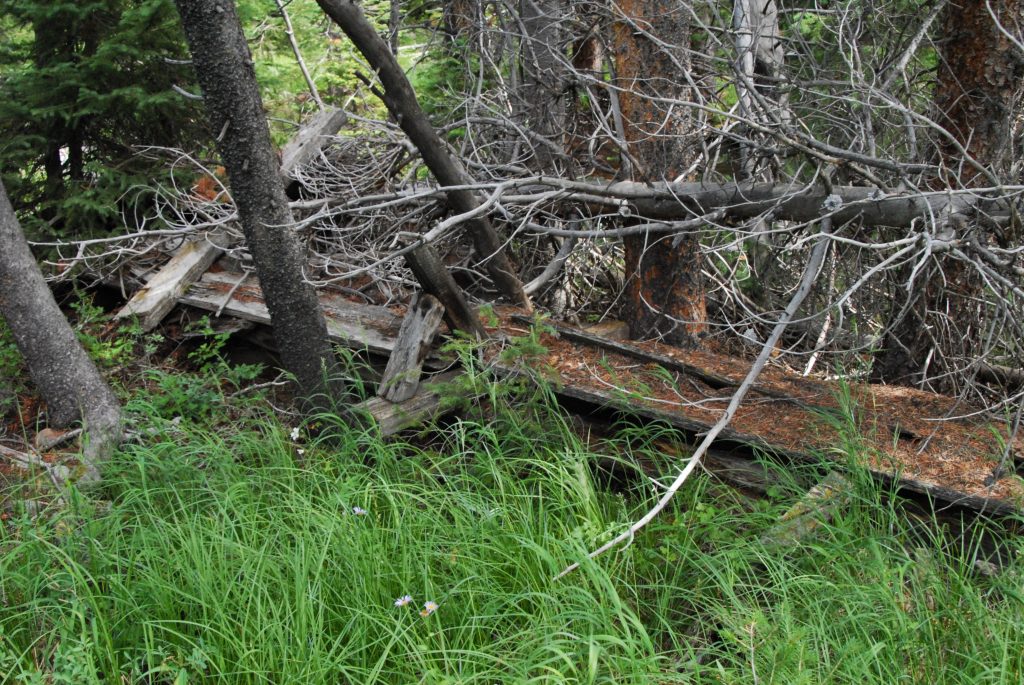
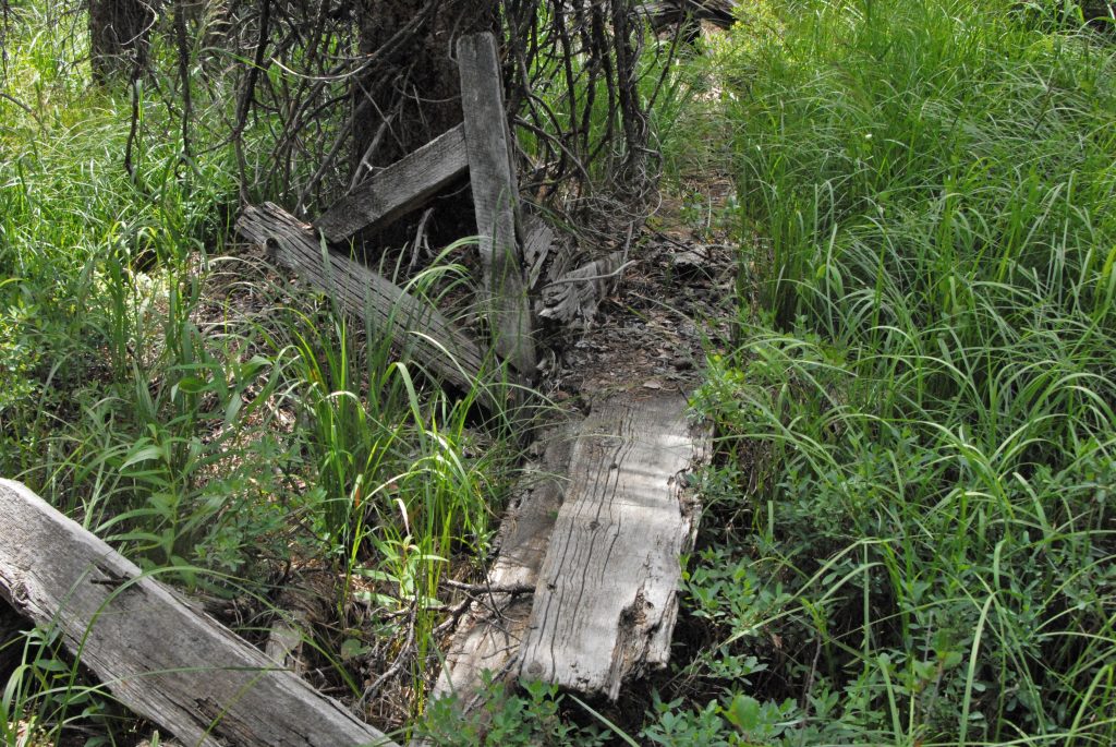
AND I FOUND PLANKS FROM THE FLUME, MOSTLY ROTTED AWAY–and MAYBE TODAY GONE. THERE ARE FOREST SERVICE REPORTS ABOUT THESE FLUMES BUT NO AVAILABLE PHOTOGRAPHS I KNOW OF , EXCEPT MINE.
EVENTUALLY THE PATHWAY OF THE FLUME GOES UP THROUGH MEADOW AREAS WITH A CHAIN OF SUPPORT STRUCTURES.
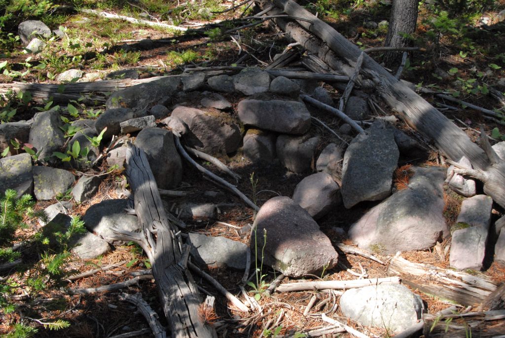
HERE ARE REMNANTS OF THE DIVERSION DAM WHERE THEY TOOK WATER OUT FOR THE FLUME.This picture and the next are courtesy of my friend Albert Richens.
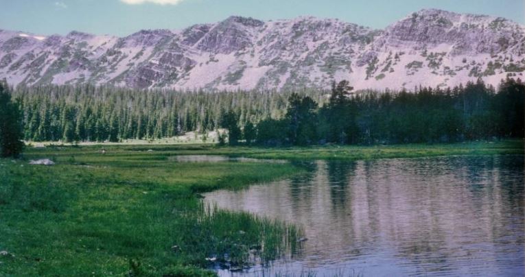
To get to HELL’S HOLE BASIN, continue up the road until it takes a sharp turn ending in a gravel pit. The trail takes off from there and climbs up to Hell’s Hole Lake that has native cutthroat trout waiting for you.
Here we meet famous pioneer artist and photographer, GEORGE BEARD and his wife LOVENIA. You dedicated High Uinta lovers might recognize her name, as George gave it to the first 13,000+ mountain you come to on the Highline Trail as you go east past the Deadhorse Lake area and come to the Lake Fork Drainage. See it below.
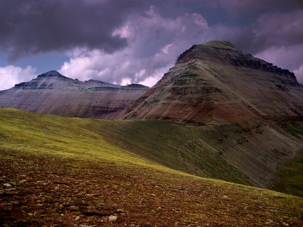
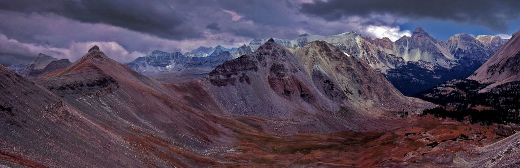
Majestic 13,219 ft. high MOUNT LOVENIA with in the foreground what I have named East Fork Pass, 12,150 ft.one of the highest in the Uinta Mountains. It is at the head of the East Fork of Blacks Fork of the Green River from where you can see the most impressive view of the spine of the High Uinta Mountains I’ll show you below:
There is more information about GEORGE BEARD in my book, but best add here that he is famous for naming, and having named, important Uinta lakes: First, in 1906 a government surveyor asked him which was the largest lake in the Uintas? He pointed to one on the map, and said, “This is the grandaddy of them all!” That name stuck as GRANDADDY LAKE and consequently THE GRANDADDY BASIN with it’s 26 fishable lakes. Way east in the Uinta River Drainage, near Trail Rider Pass is found BEARD LAKE, where I caught an eastern brook trout that would have been a Utah State record if I could have got it out to civilization to be weighed and measured. Then following the trail from said pass towards Lake Atwood, you come to above timberline GEORGE BEARD LAKE where on my 27 day expedition I had the fastest fishing, at the head of an alpine basin I have named GEORGE BEARD BASIN.More details and maps showing all these locations in my BOOK.
GEORGE BEARD’S connection to HELL’S HOLE BASIN is mostly because in a visit he made here he wrote:
“HERE I SAW THE LARGEST GRIZZLY I HAVE EVER SEEN!”
REMEMBER, YOU MIGHT FIND INTERESTING THE BOOK ABOUT MY HALF CENTURY