PREPARATION: June 12-14, 2015
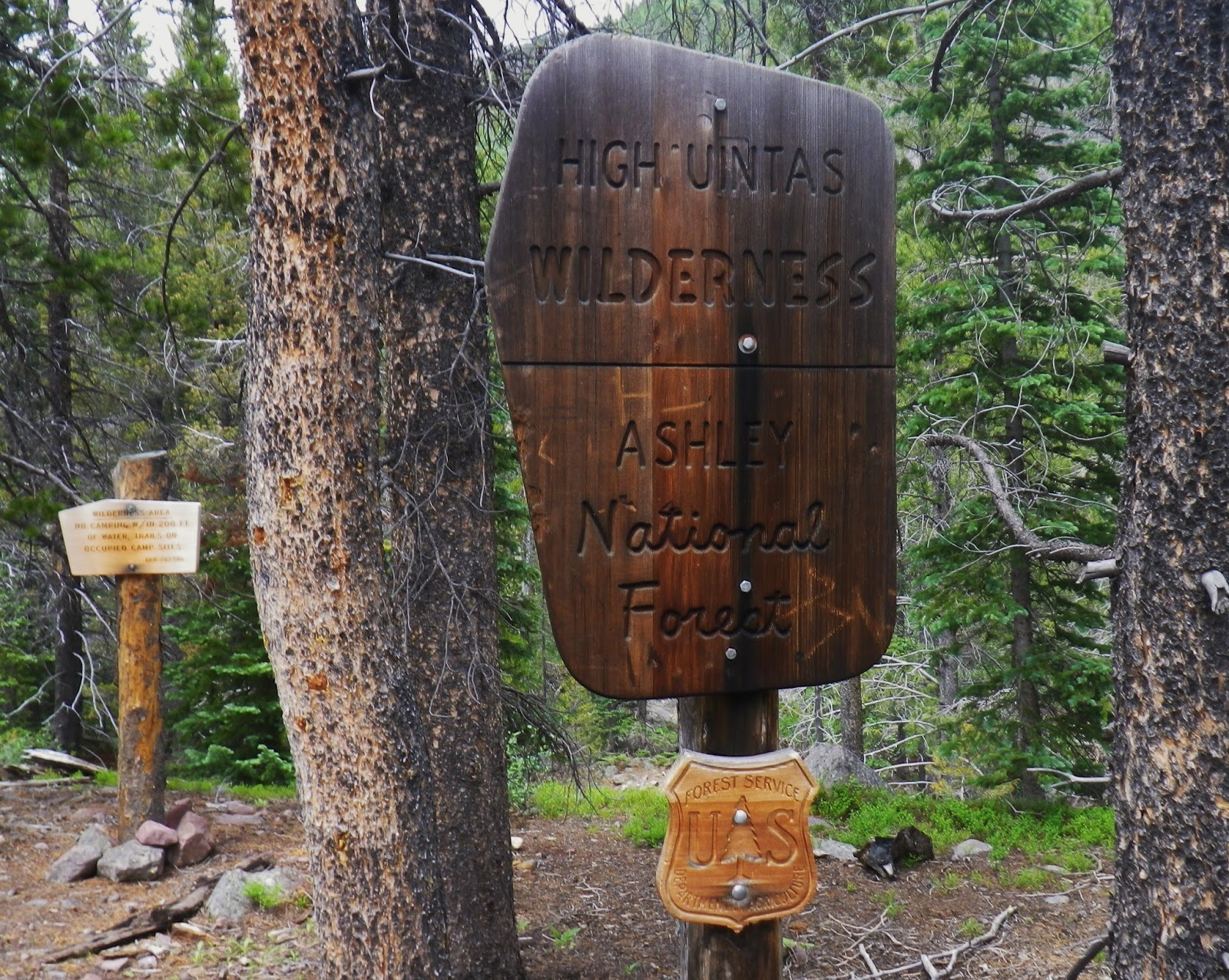
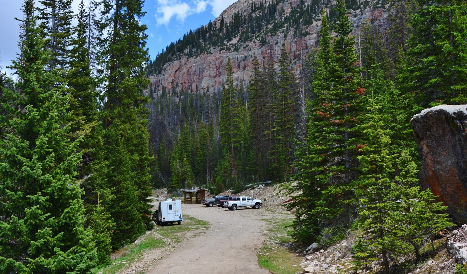
AT THE GRANDVIEW TRAILHEAD
I drove from the Bald Mountain Trailhead, where I had been for a week or so acclimatizing to the altitude, stopping in Kamas to do a post for my website, and on Friday, June 12th, drove over Wolf Creek Pass to the North Fork of the Duchesne River, and the Hades Canyon Road that takes one to the Grandview Trailhead.
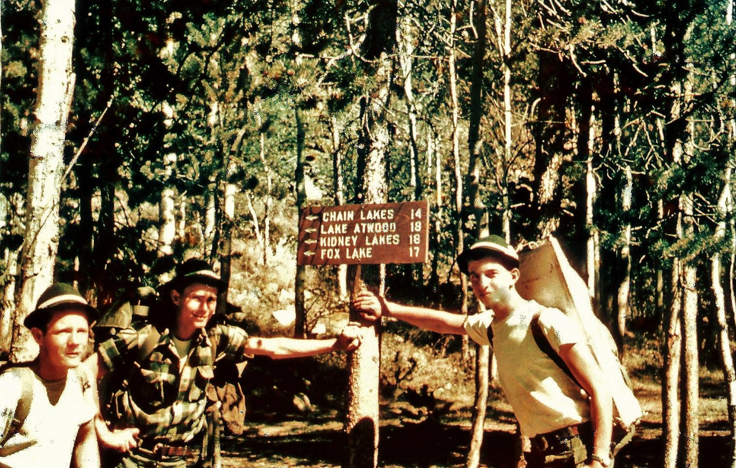
This is where we used to park our cars to begin the 10 mile hike up to Hades Pass, and the Grandaddies–I’m talking about way back in 1952 when at 16 I made my first backpack into the Grandaddies, with Ted Packard, Charlie Petersen and others. I’ll tell that story in my documentary entitled:
THE GRANDADDIES
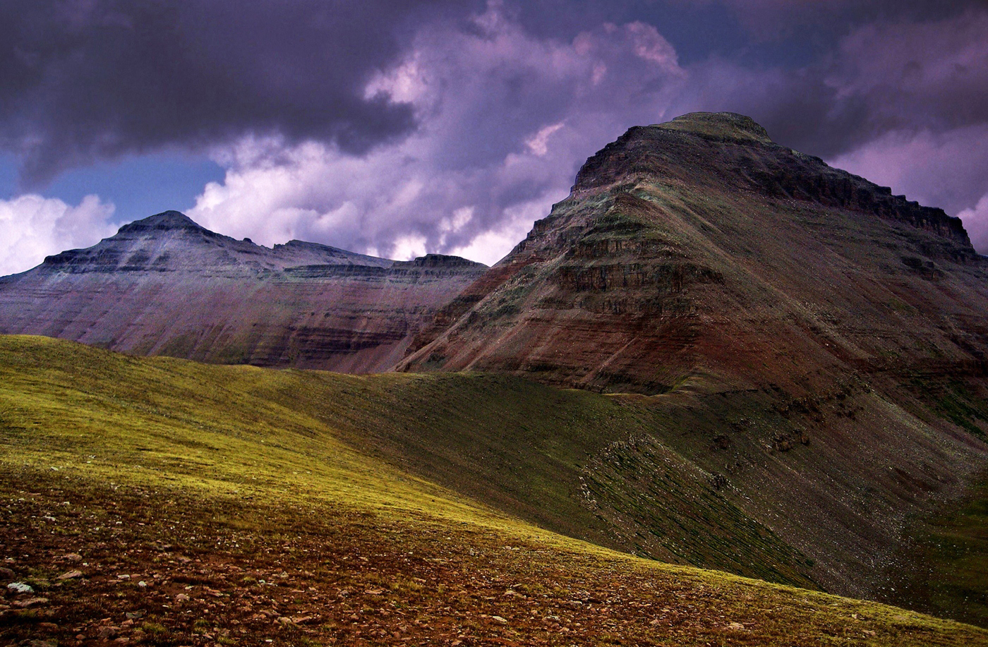
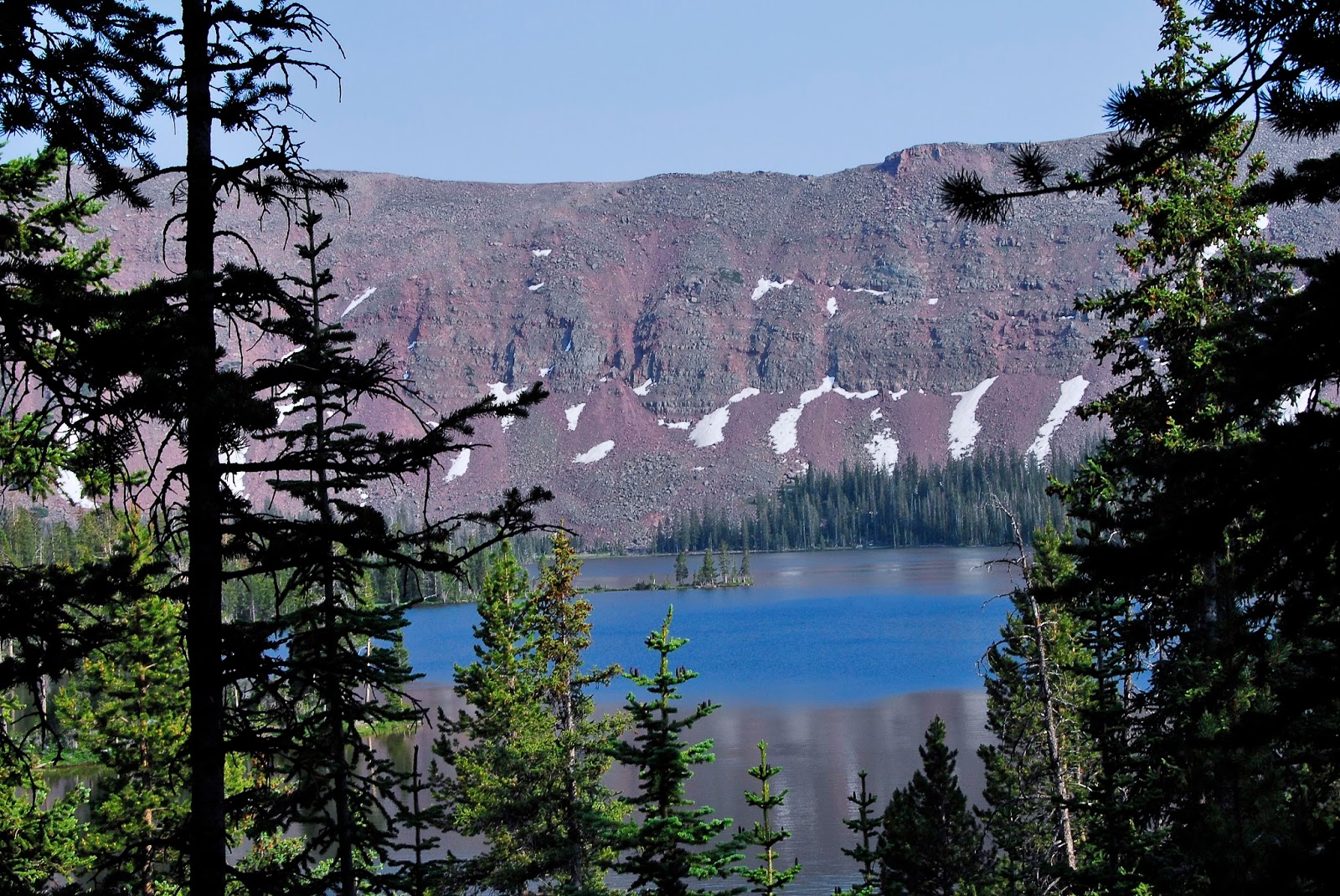
Part way up the canyon we stop to look down at what we used to call “Lightning Ridge.”
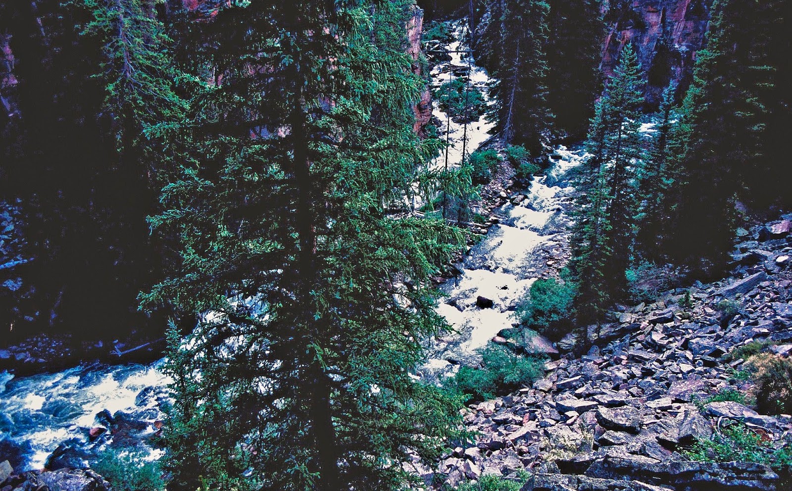
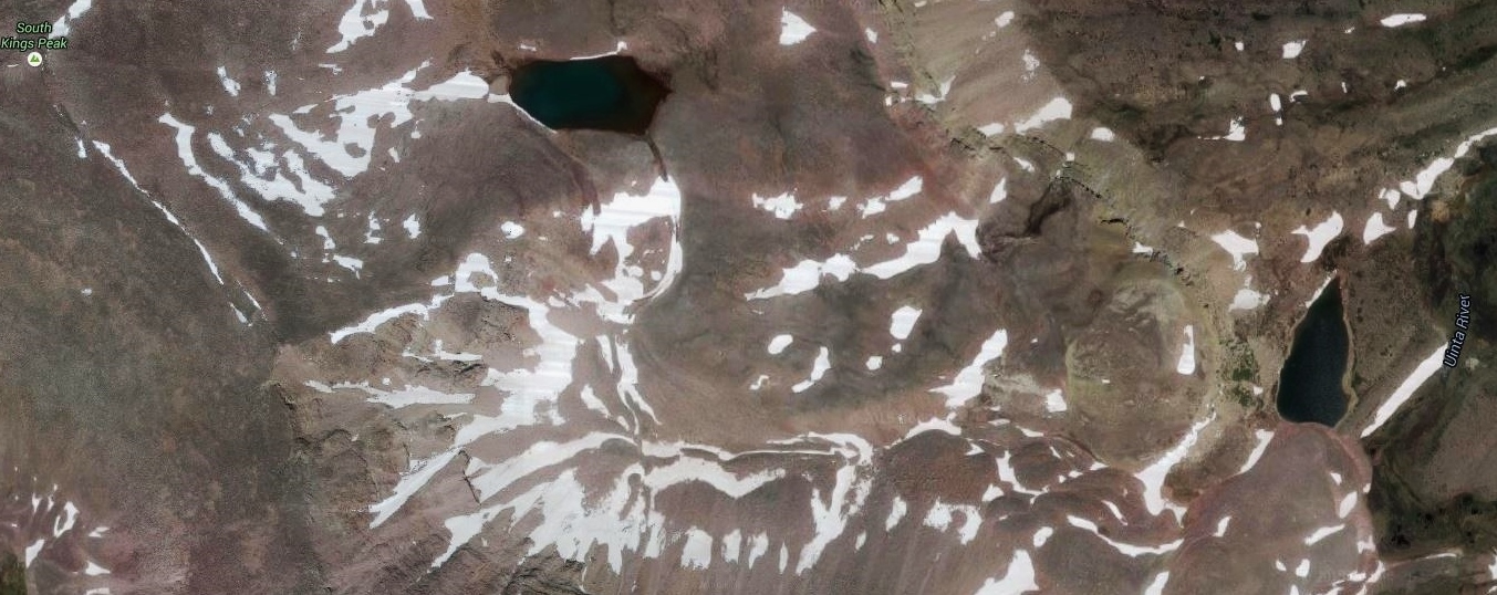
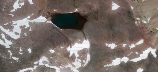
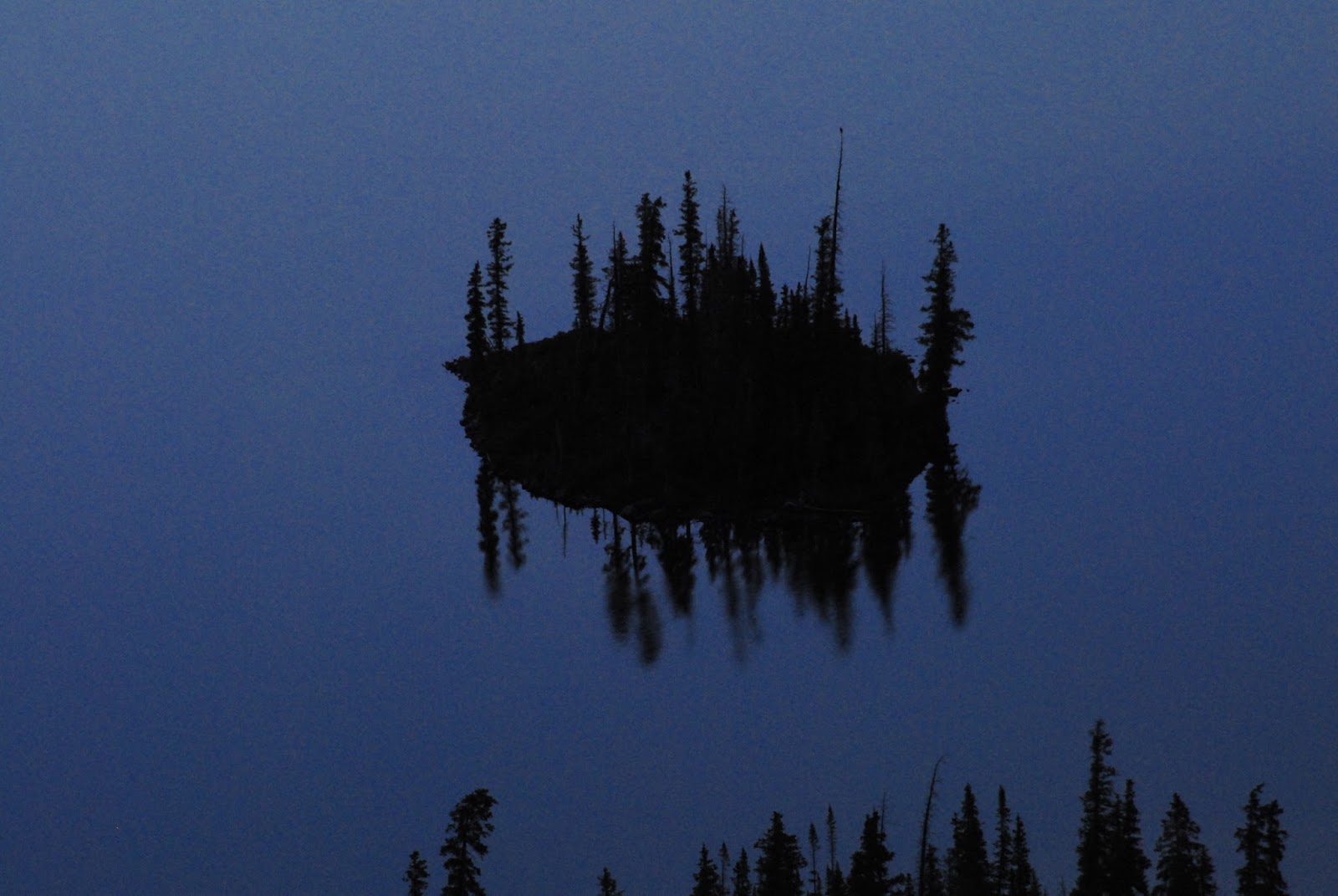
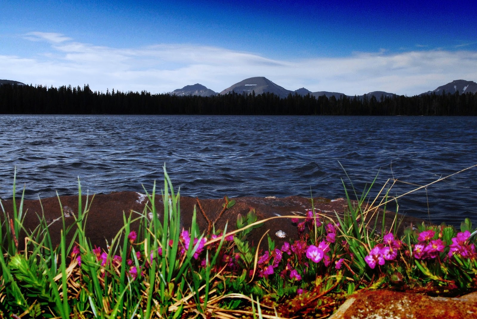
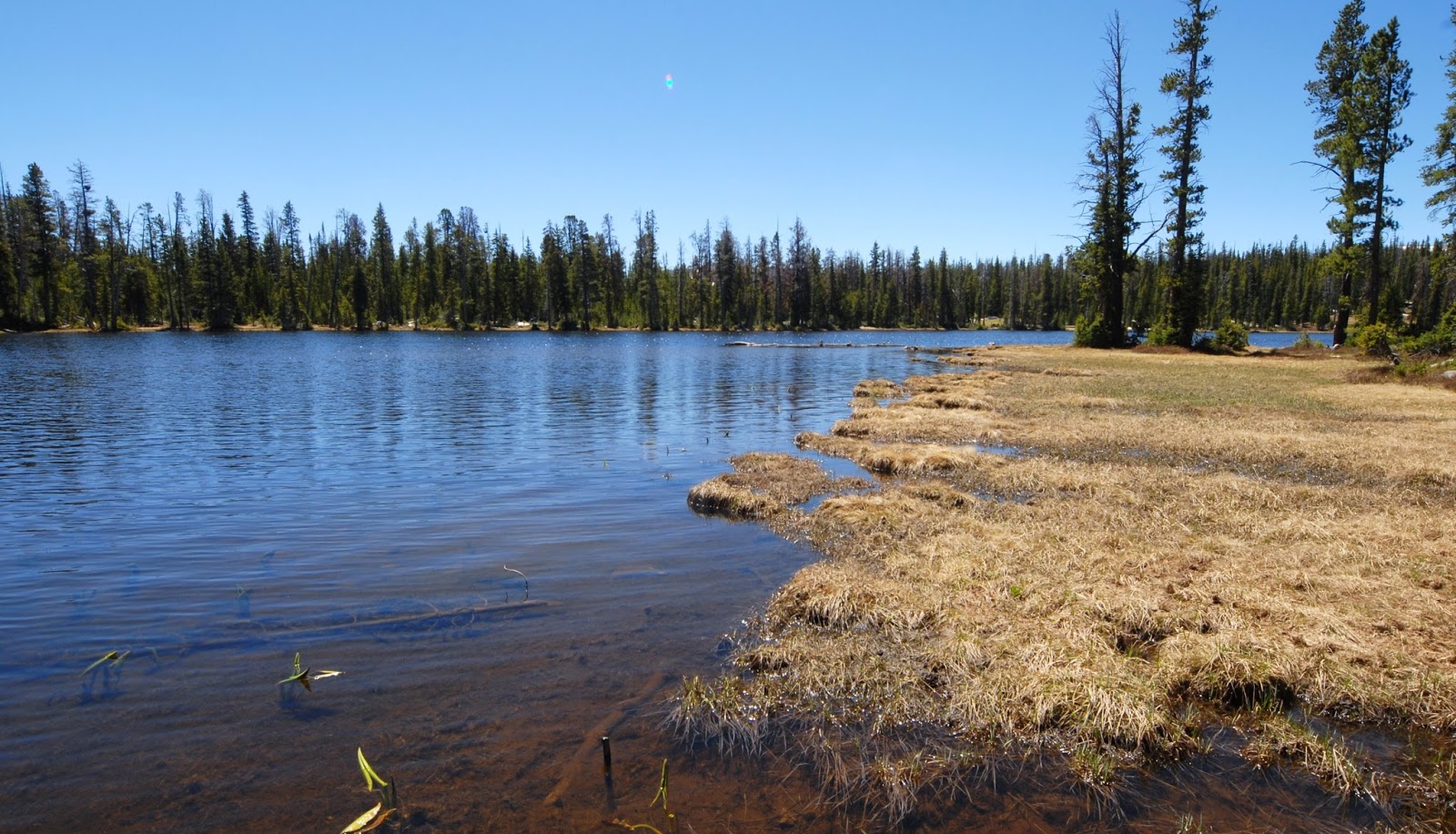
Another couple of miles and you come to Splash Dam and the shallow lake….above as it used to be, but this year something happened draining it leaving it as you see below.
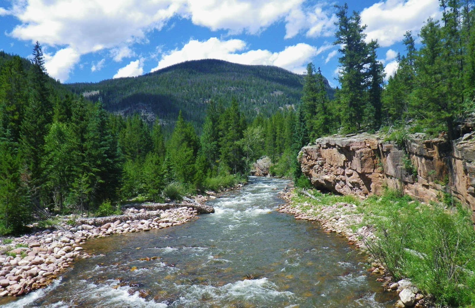
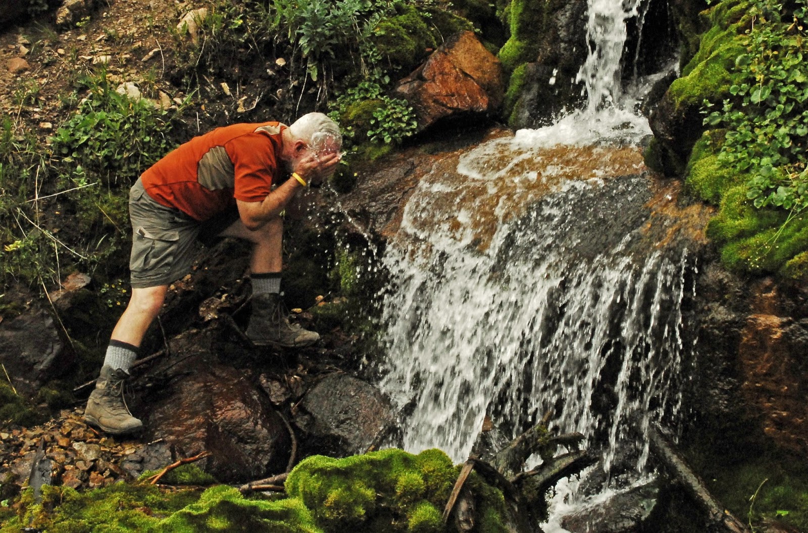
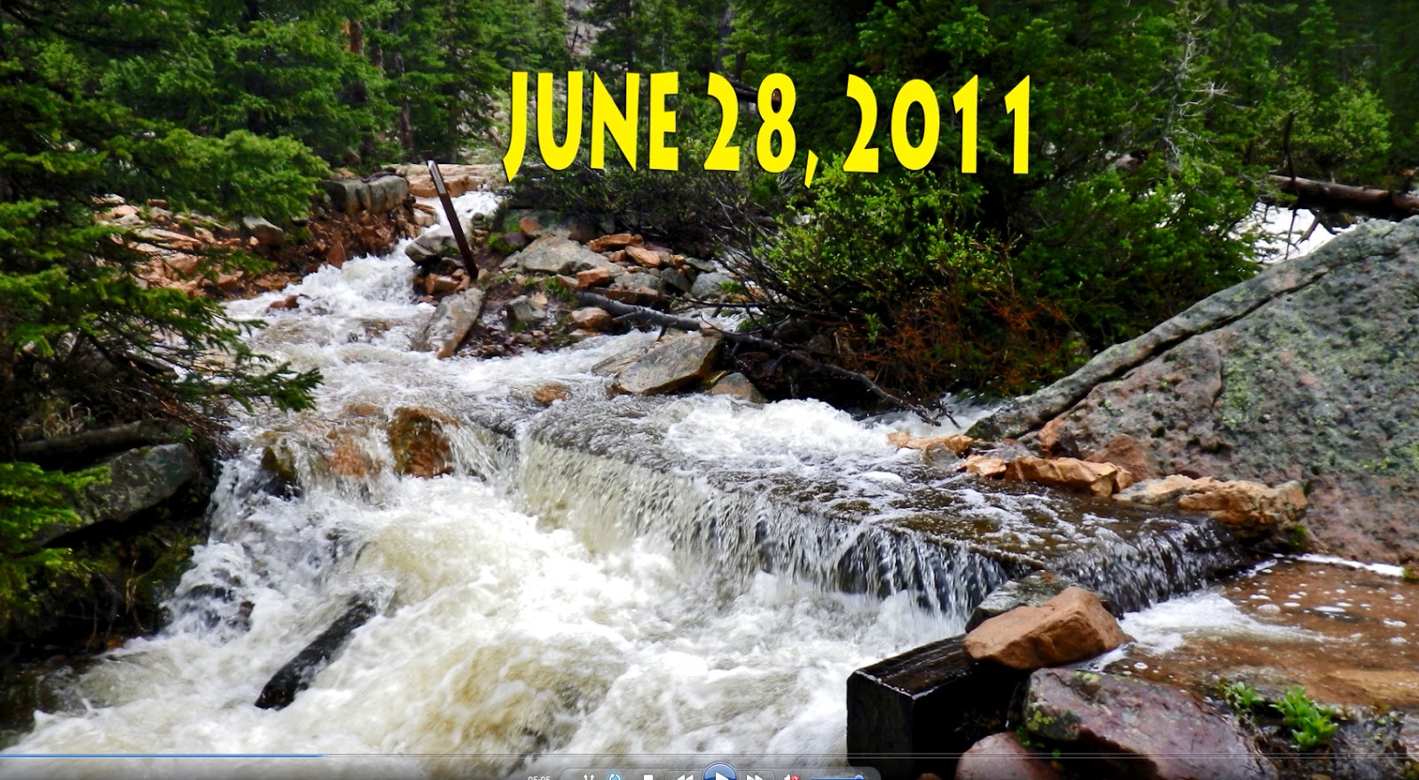
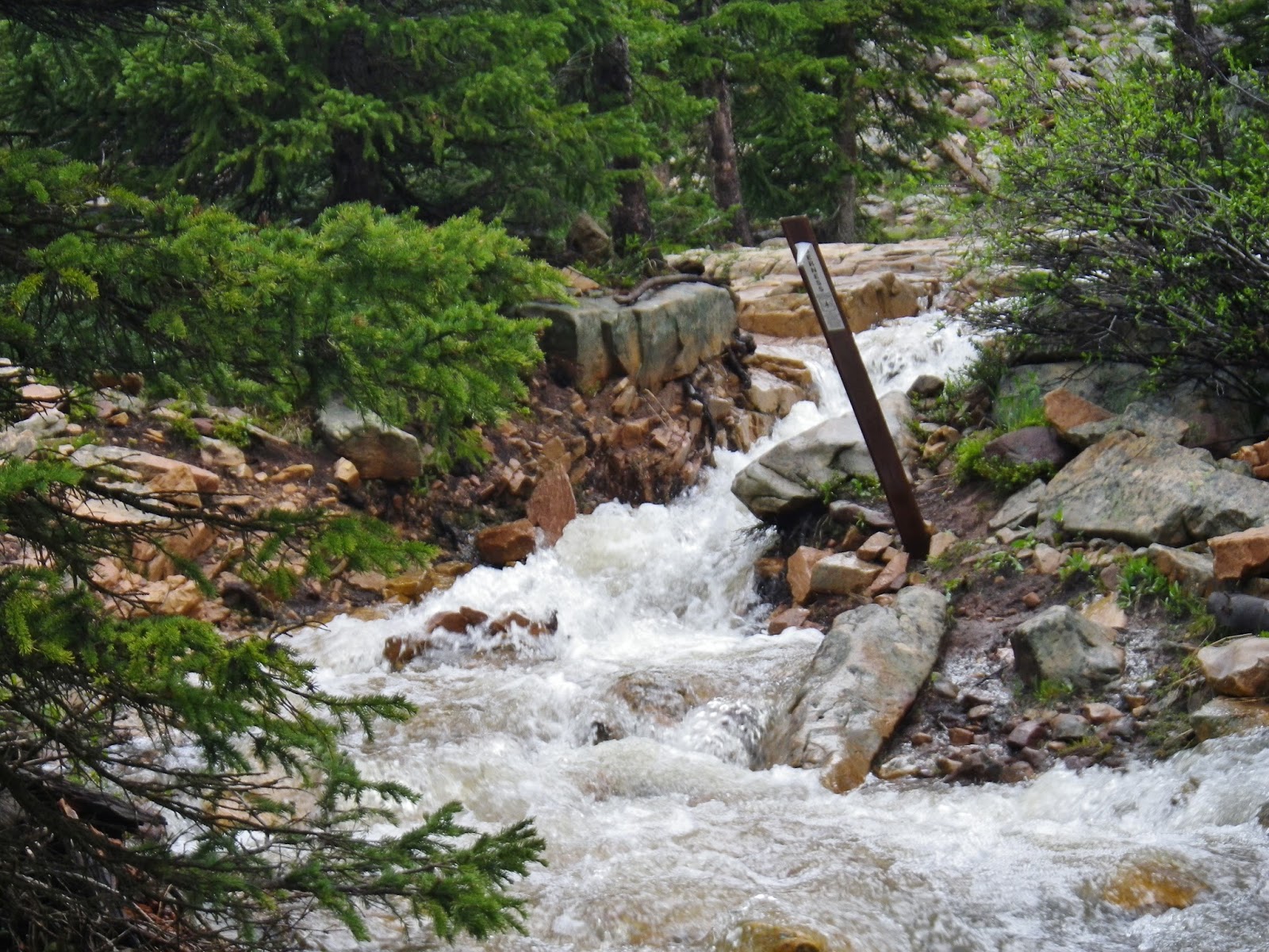
Another couple of miles, just a bit short of the Trailhead, you pass what we might call “THE HADES FALLS” where coming and going we always stop for the “best water.”
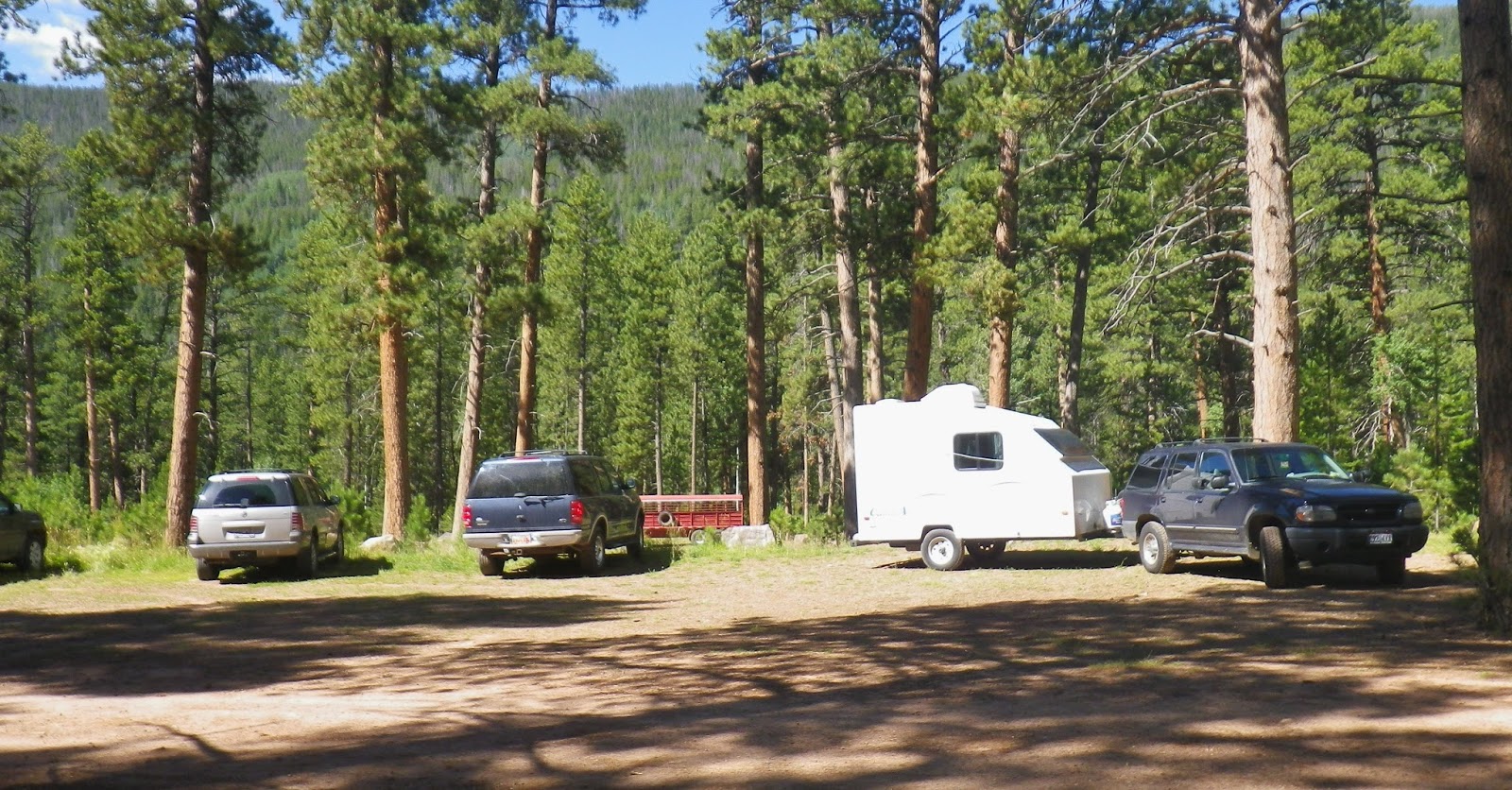
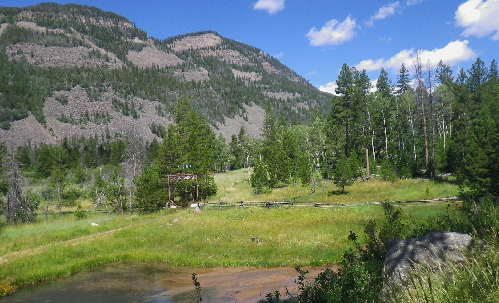
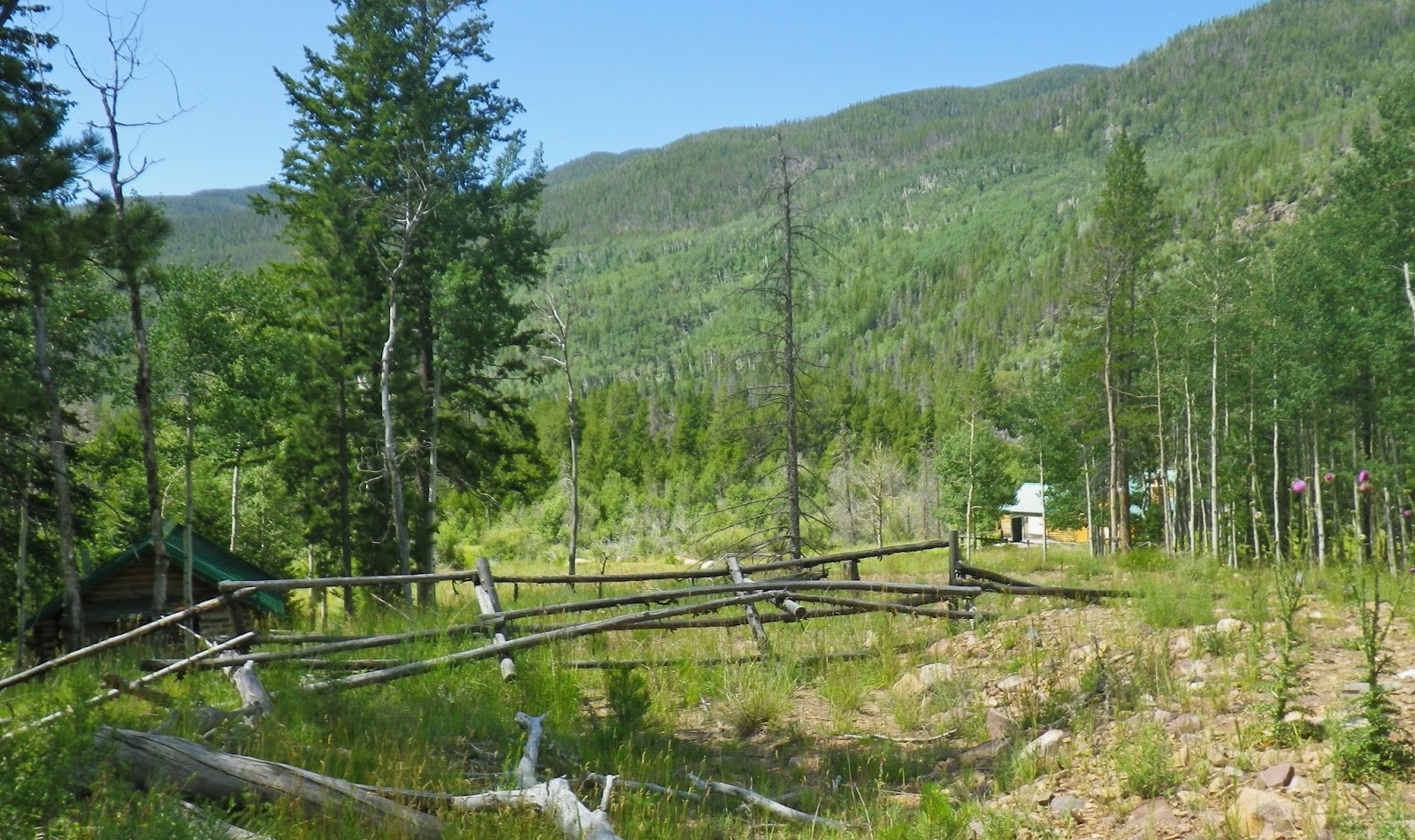
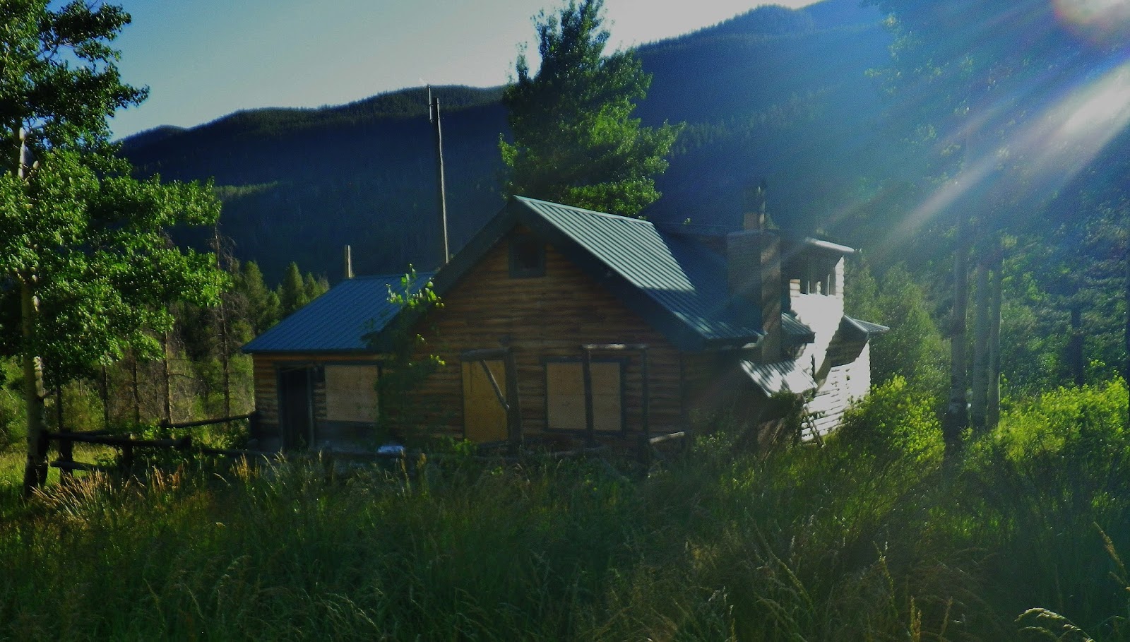
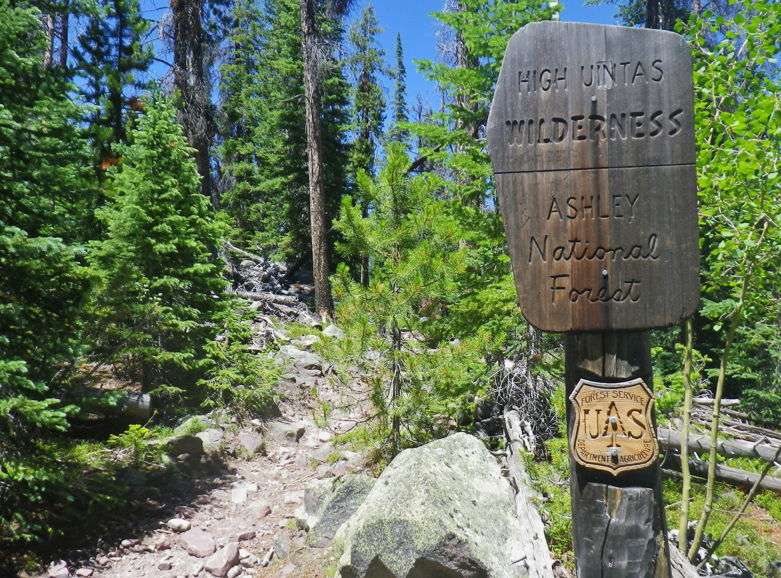
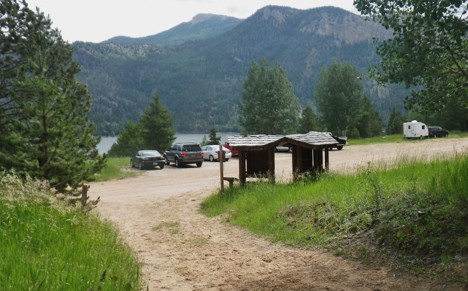
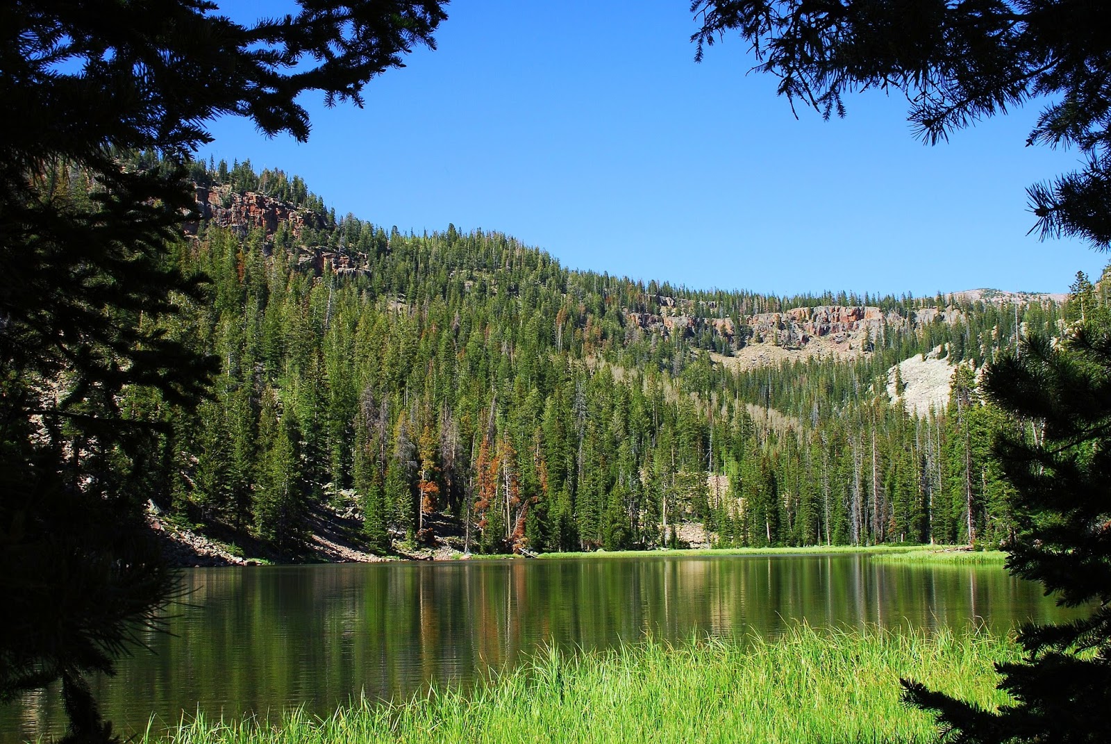
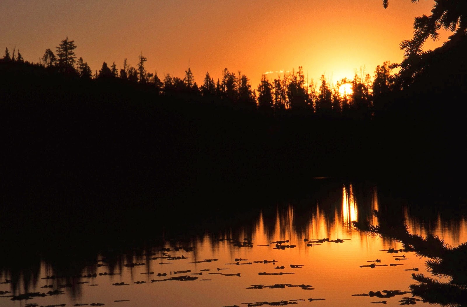
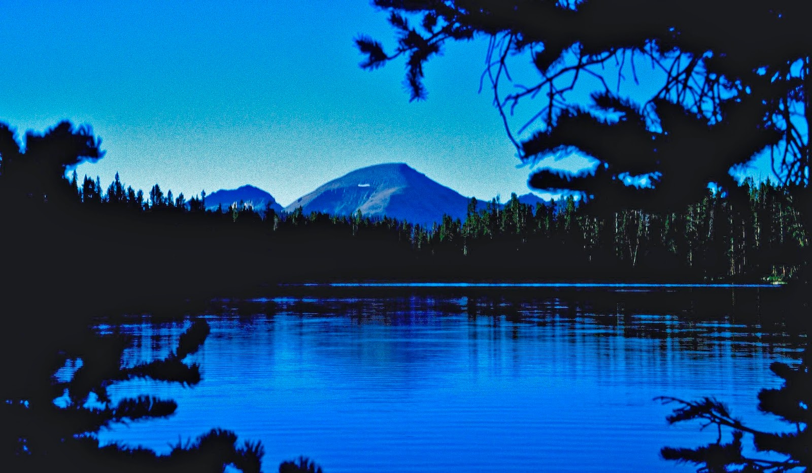
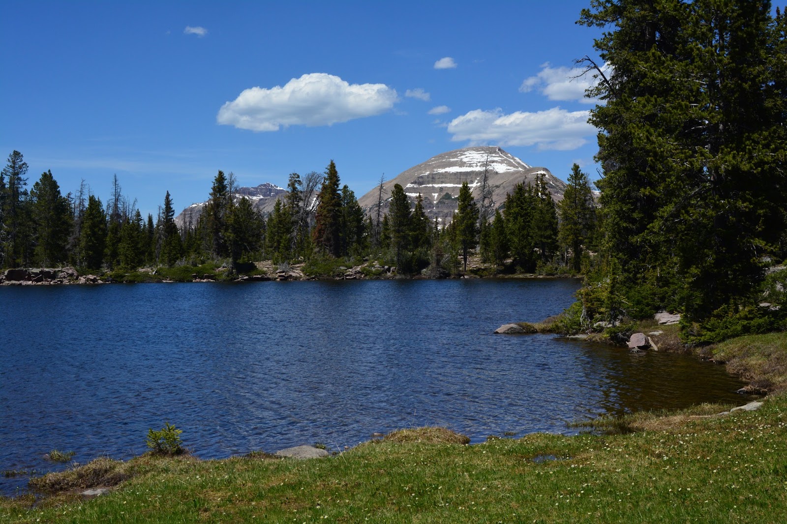
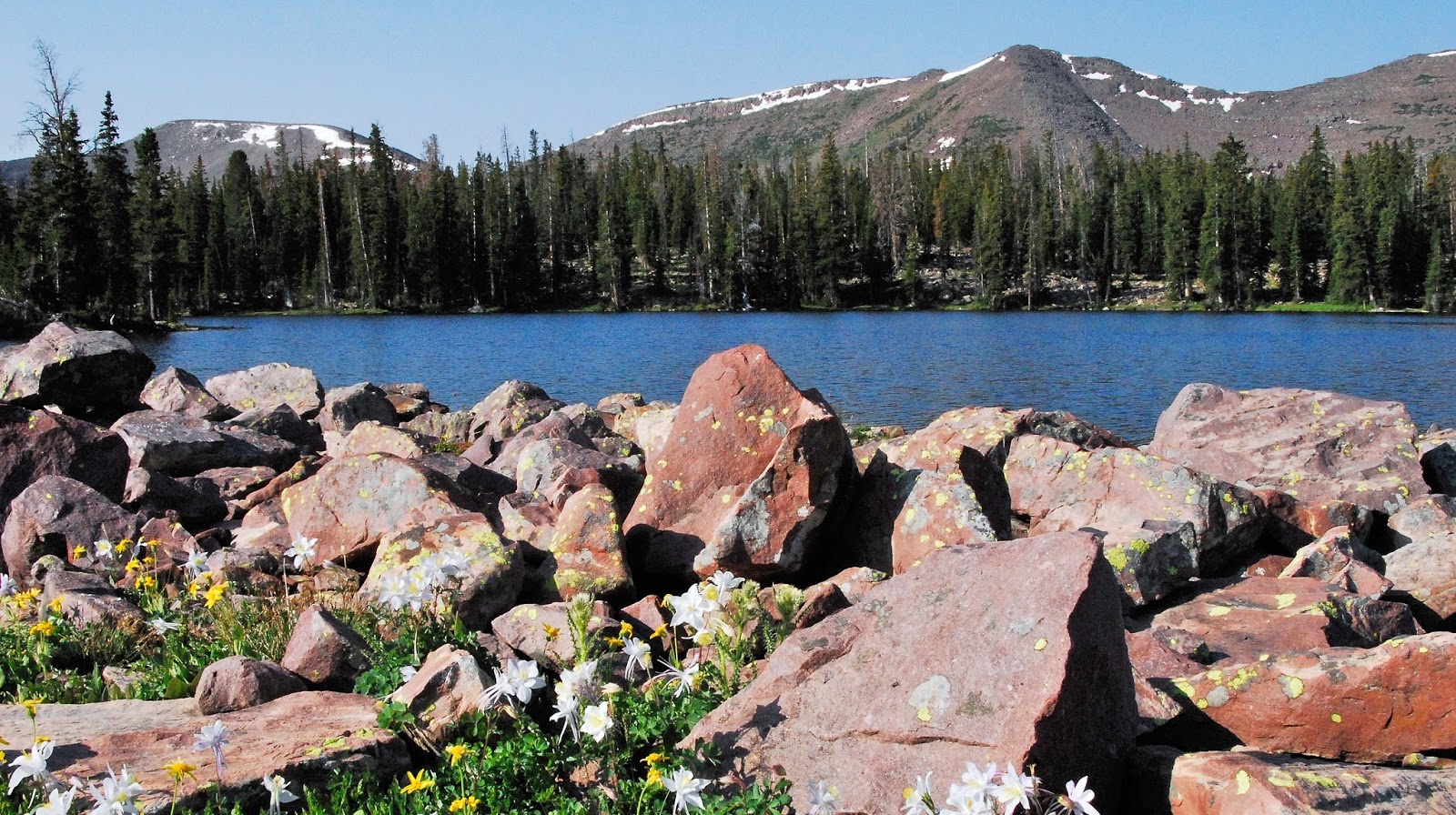
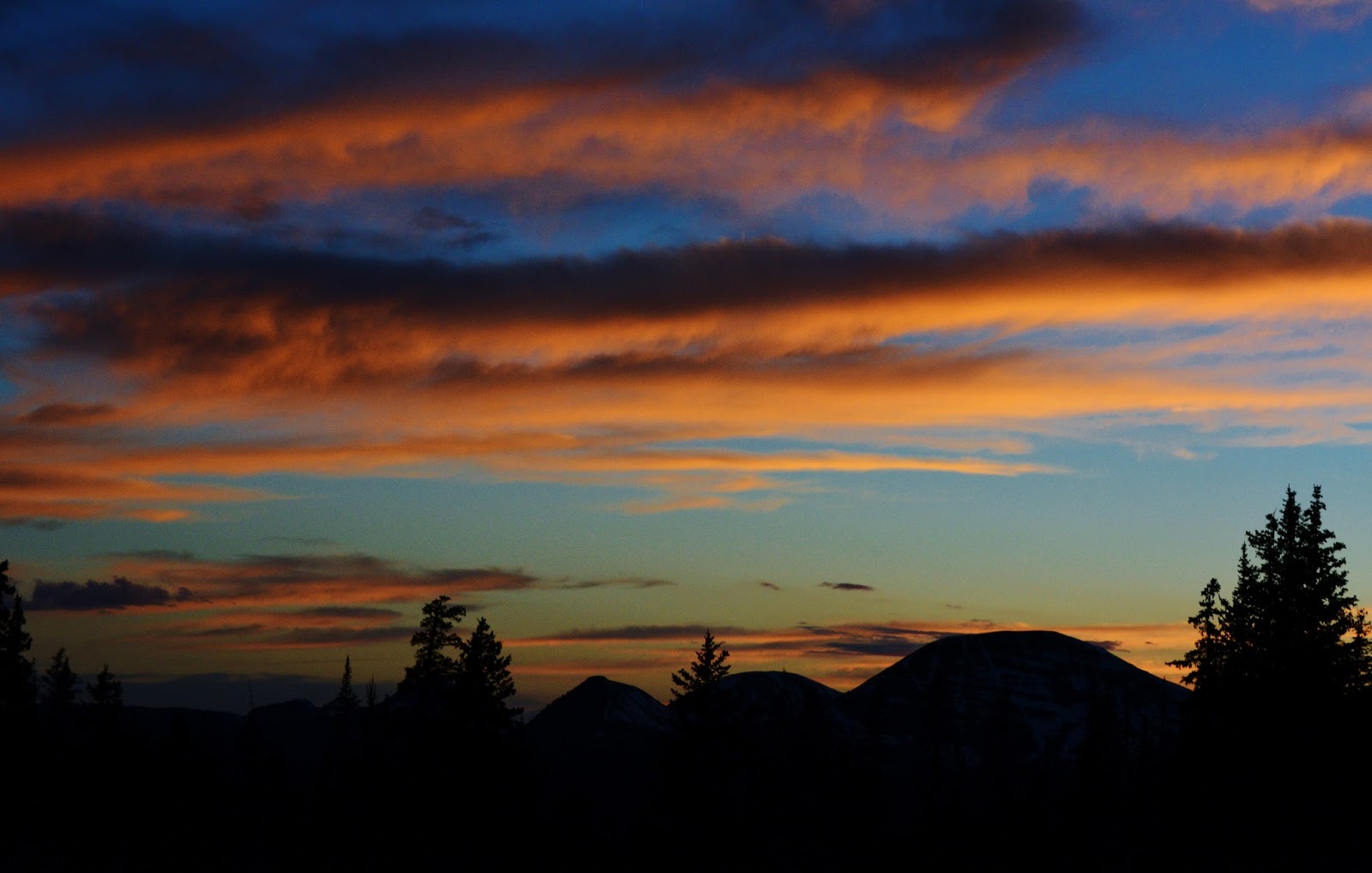
A very picturesque trailhead in a beautiful setting.
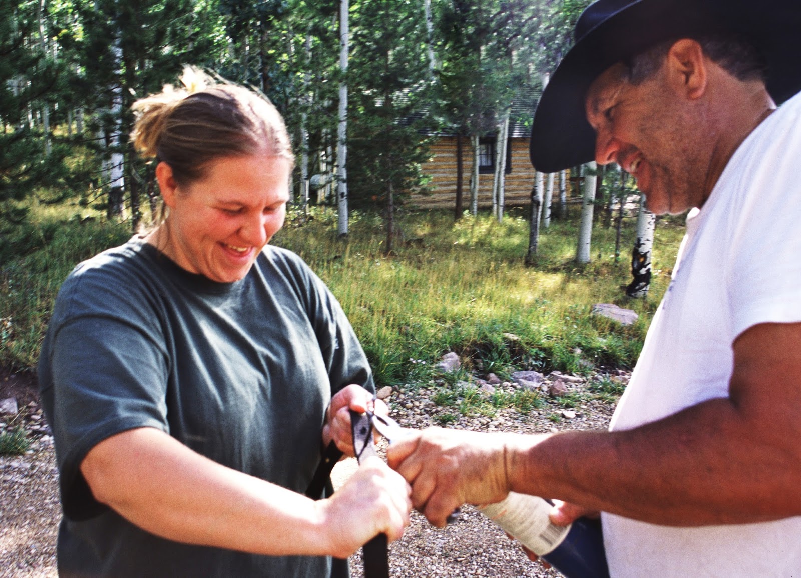
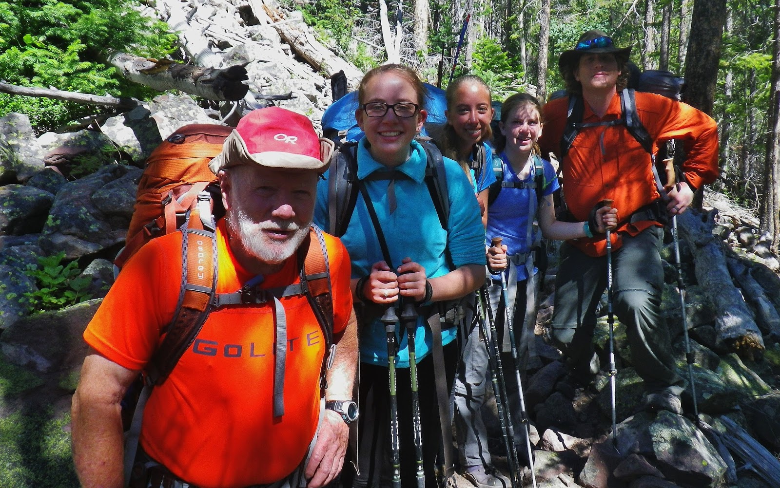
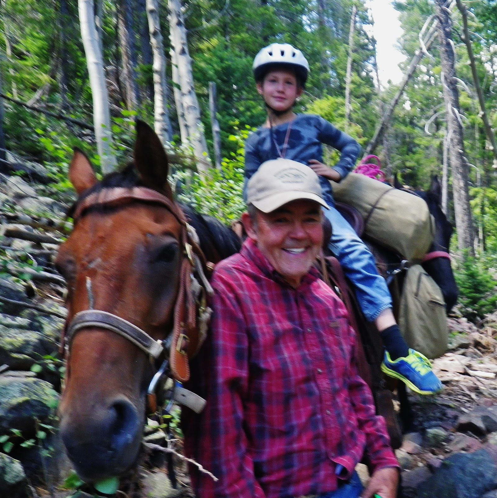
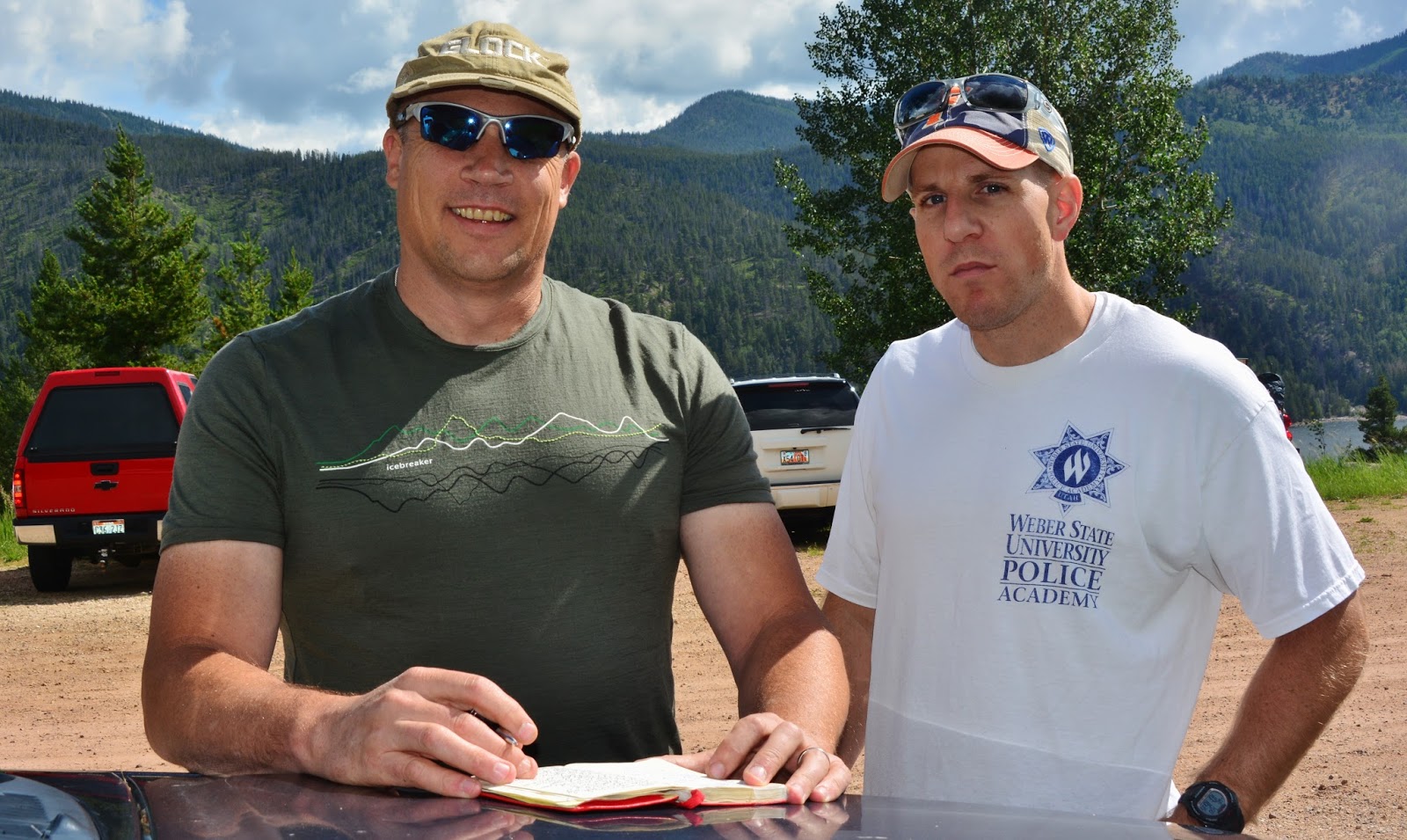
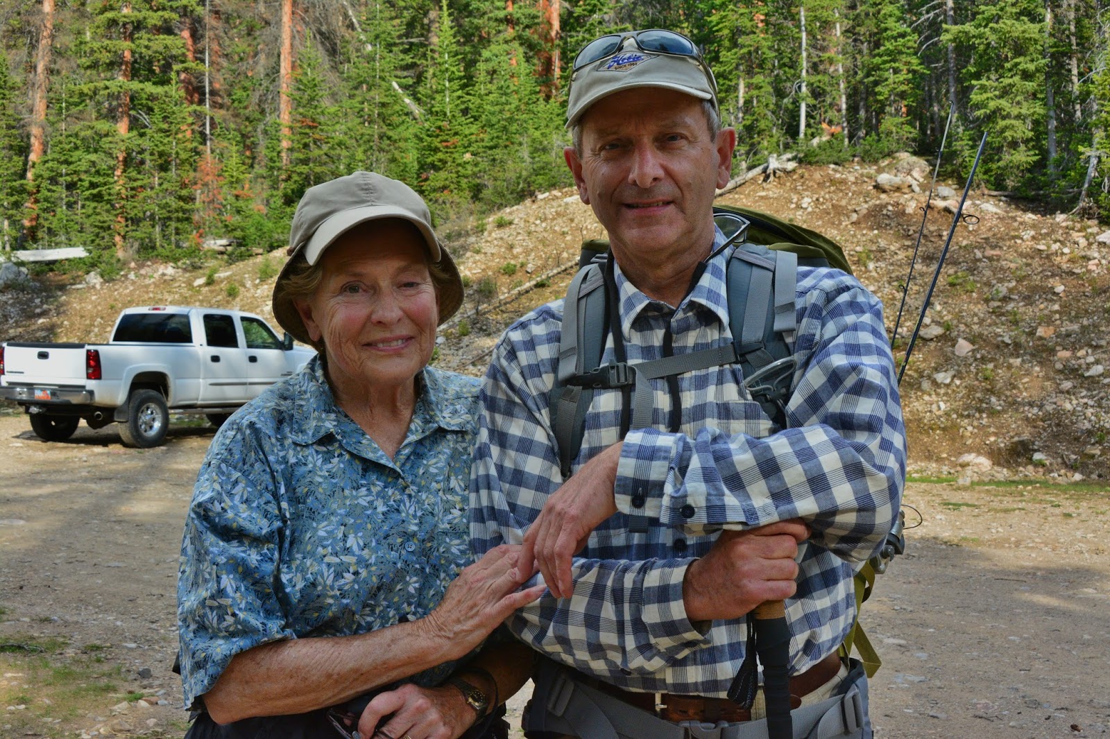
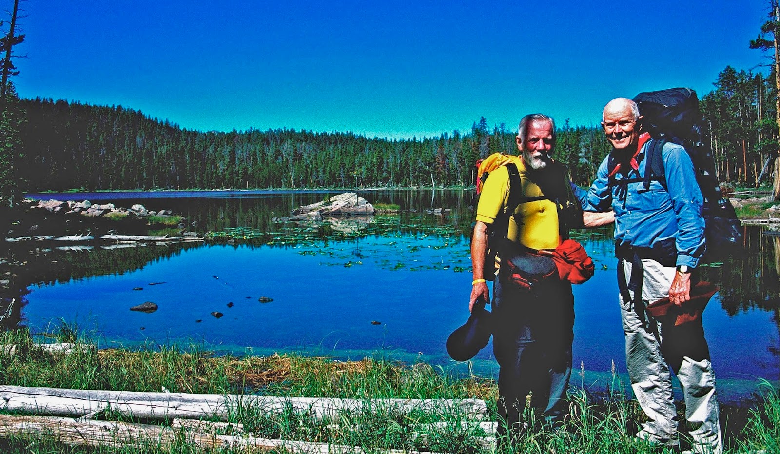
I was arriving at the Trailhead several days ahead of when I was to actually begin backpacking up the trail. My purpose was to meet two old friends I hadn’t seen in like 55 years. They were Kent, younger brother of one of my two original backpacking buddies, Charlie Petersen, and his sister Joan (Petersen Fisher).
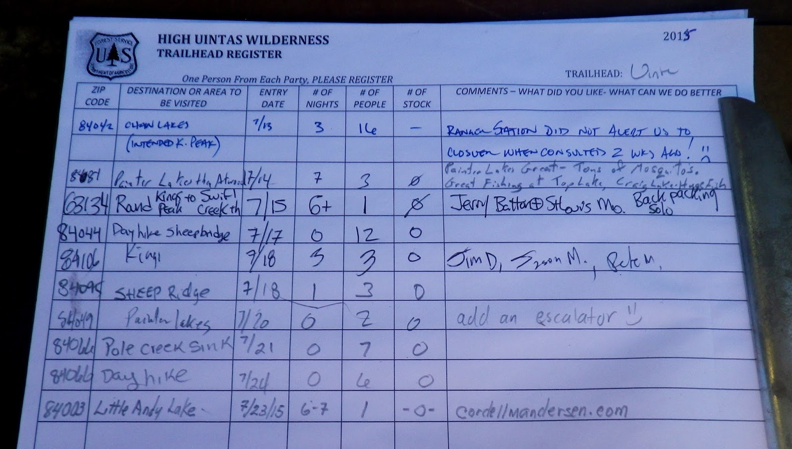
I went for the register to see if they were on the trail doing their day hike to Grandaddy Lake.
Sure enough, there they were with a note for me.
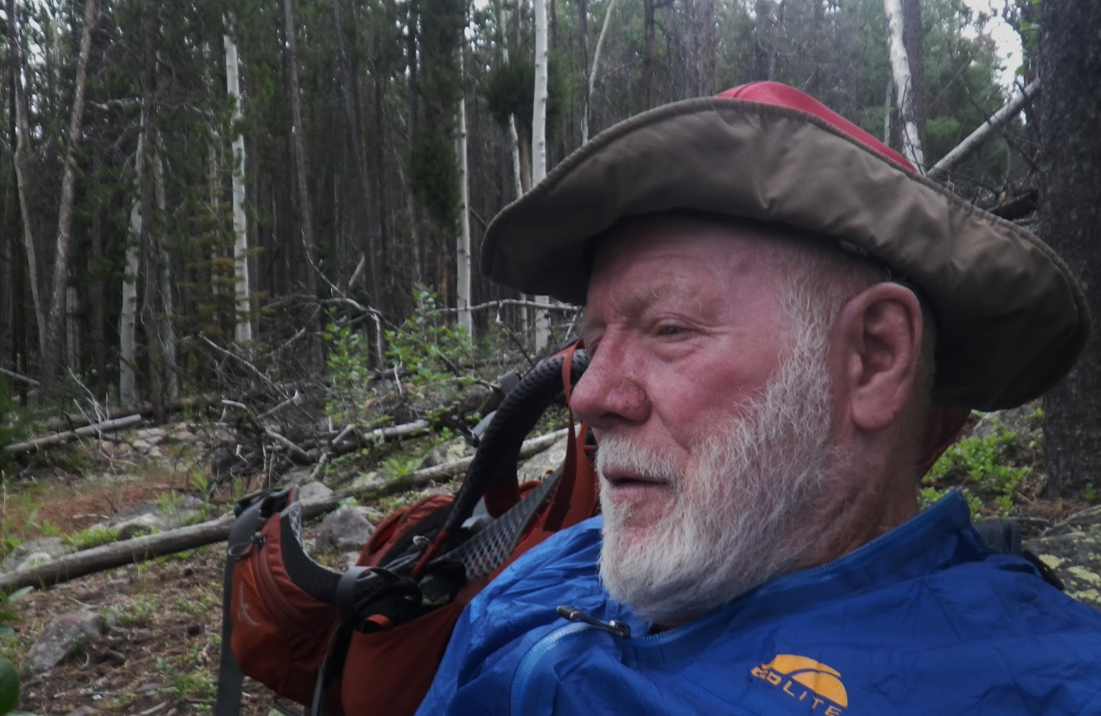
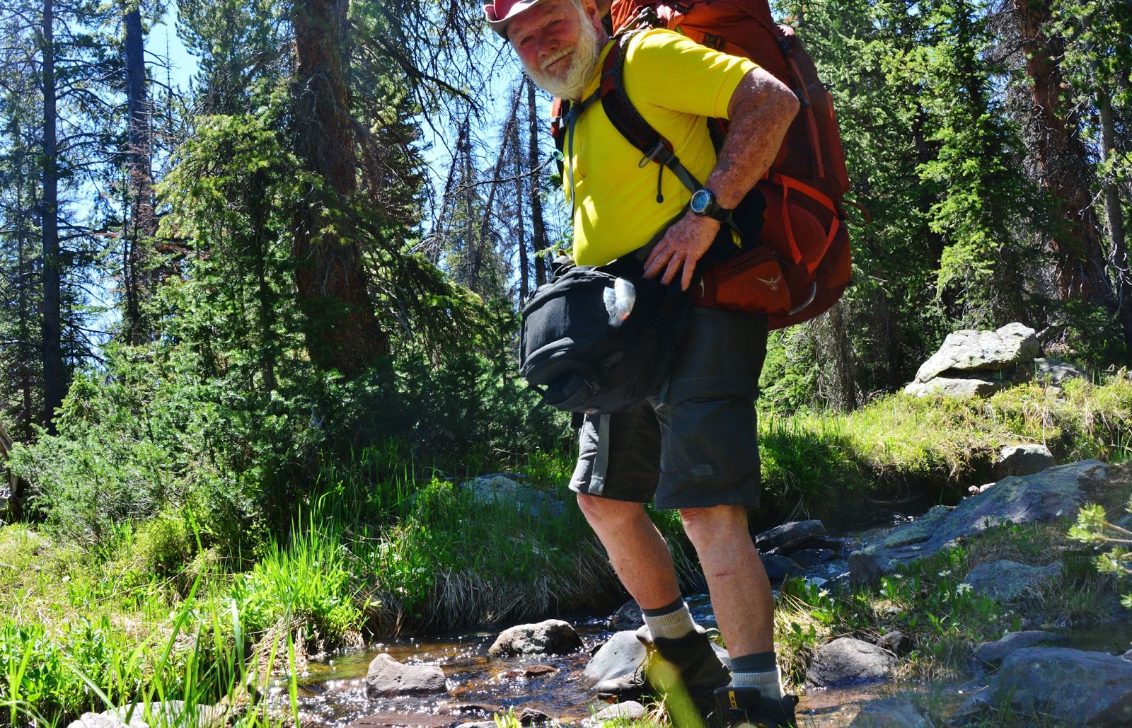
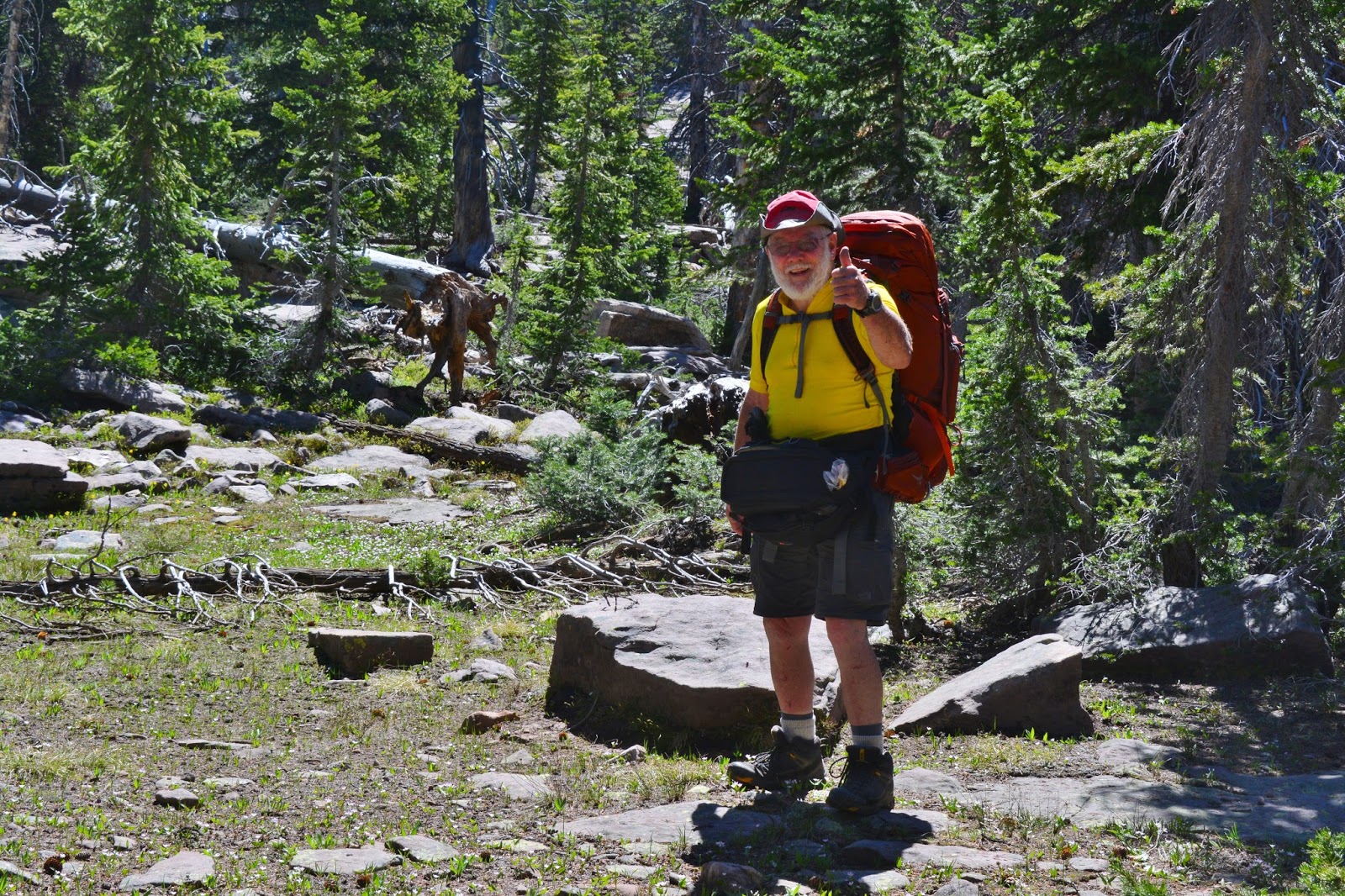
While waiting for them I went to work preparing my backpack, and observing others coming and going..
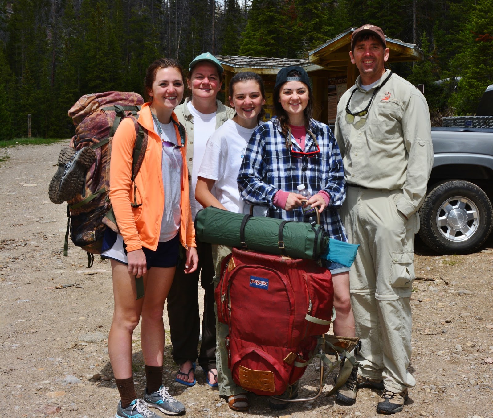
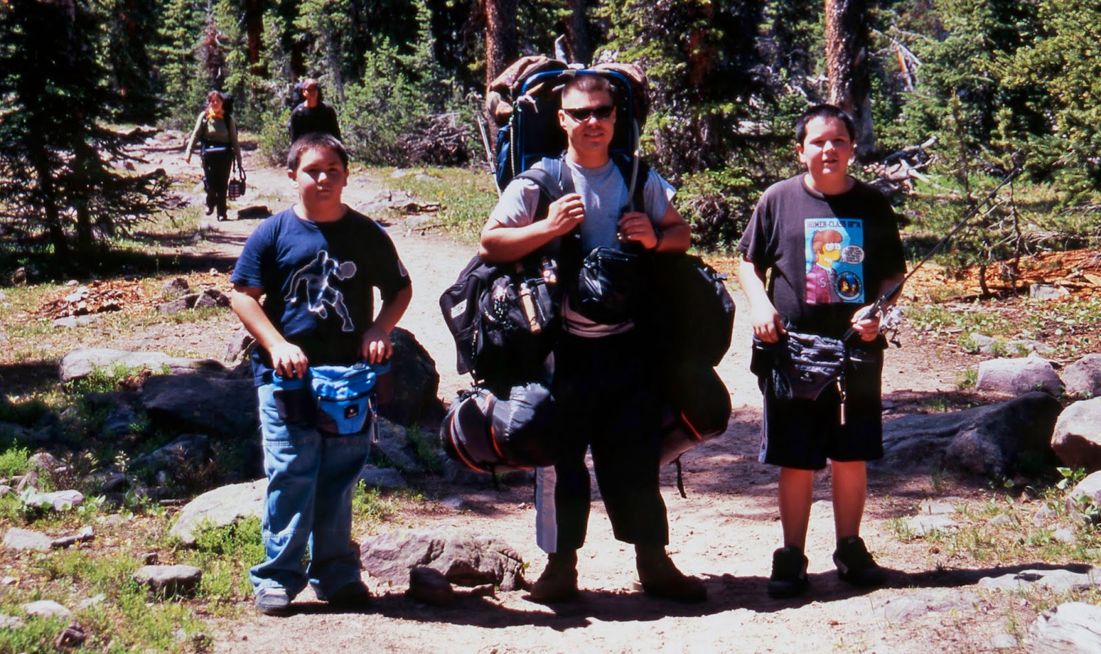
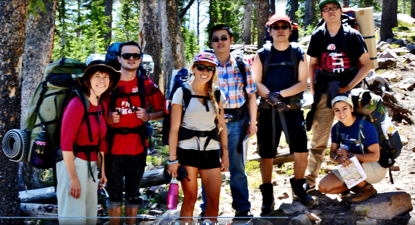
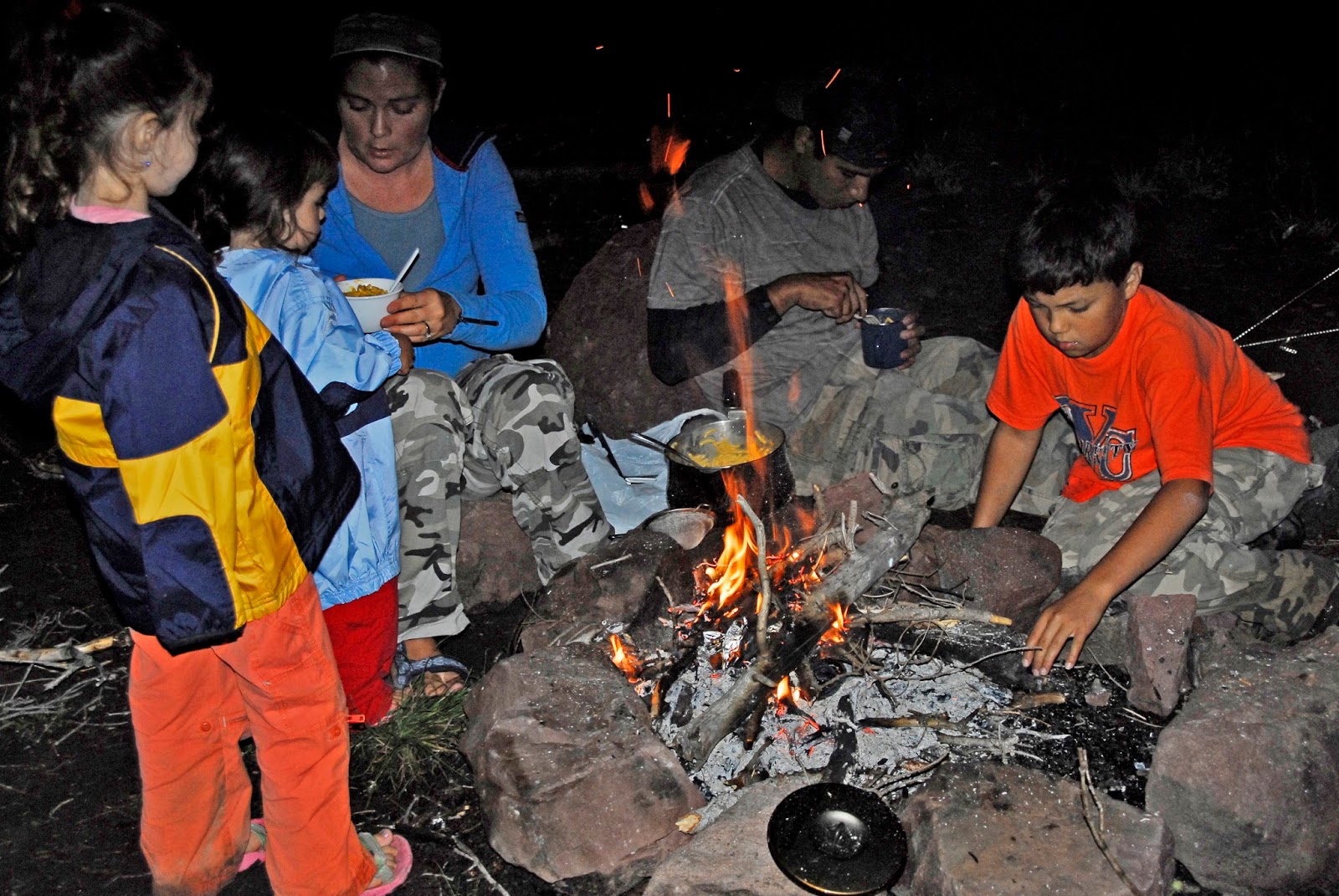
Then a family of backpackers came down the trail and began loading their pickup. I grabbed my camera and headed over to say hello…..when all of a sudden I heard, “HEY, CORDELL!”
I got closer and recognized Mike Slater and his family, who I had met 2 years ago on this same trail.
Below is the picture of them from 2013….with the older son missing this year. I suspect he is probably on his 2 year LDS Mission.
Mike works for the DWR (Division of Wildlife Resources) in Springville, Utah. What a great backpacking family!
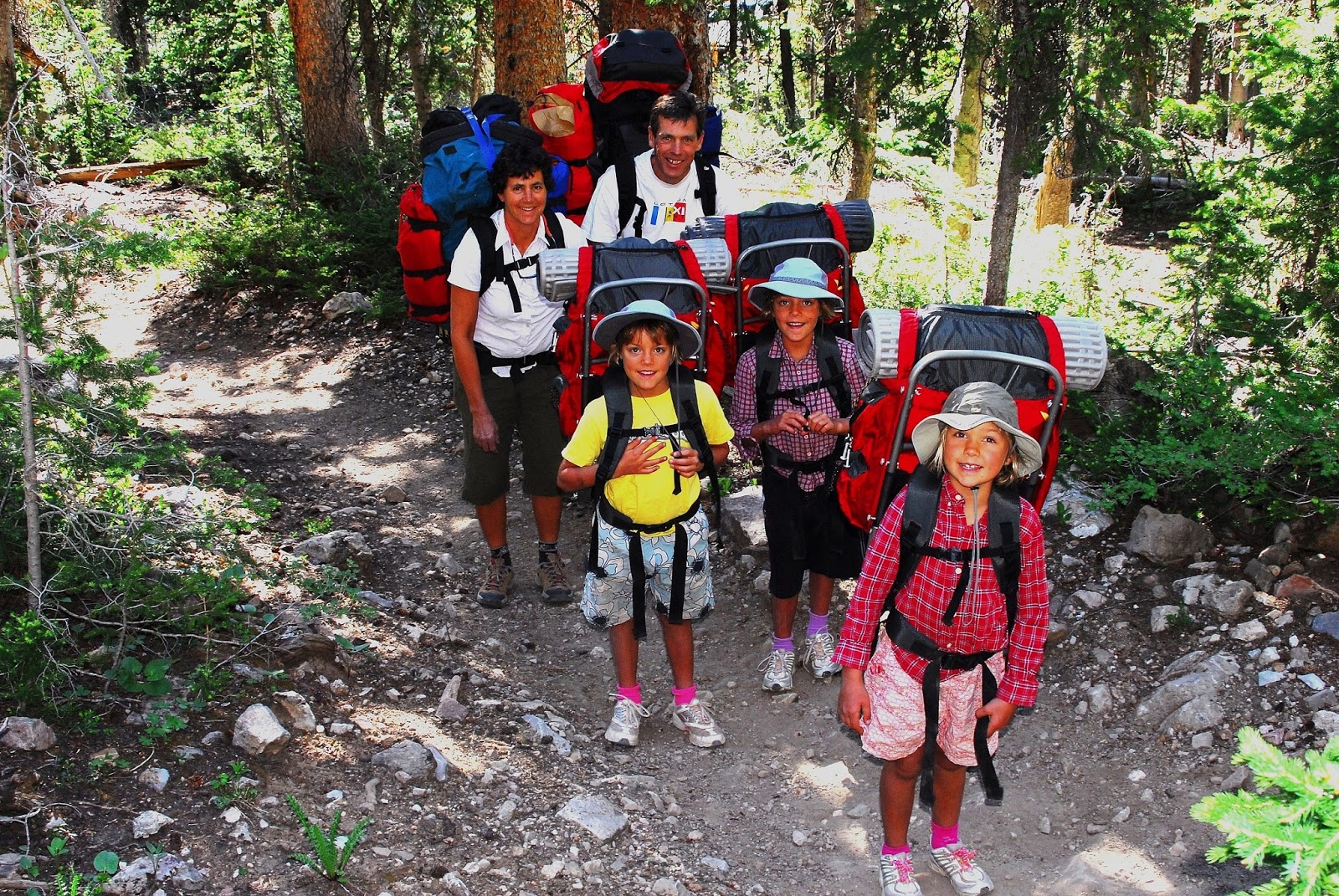
A little while later I once again heard my name being called as Kent and Joan came down the trail into the parking lot…..and soon we were all hugging each other.
Now, it’s time to tell …….“The Rest of the Story.”
Way back, like 61 years ago, when I was between 16-17 and getting to know the Petersen Family, I began noticing Joan who impressed me as one great young lady…..but then I thought,
“No,….. get control of yourself….she’s going to get fat!”
So Joan was forgotten……until 1968-69 when we were living in Guatemala and my mom sent me a newspaper clipping with a picture of Joan being crowned as MRS. AMERICA!
So, meet MRS. AMERICA 1968-69
Joan (Petersen) Fisher
She had just done an 8 mile day hike to Grandaddy Lake, and the next day would have her 76th birthday. I told them the story of my goofy youthful misjudgment and how she had in that had a “narrow escape!”
She is happily married to Byron Fisher, they living now in Salt Lake City.
By the way, Kent, at 70 looks also incredibly youthful and handsome!
We had a very pleasant visit which was a great start for yet another adventure in the Grandaddies….they reporting that Grandaddy Lake still had some ice, and there was a lot of snow on the trail down from the pass, confirming my decision to wait 2 days and head up the trail on Monday, June 15th.
NOW….LET’S GO BACKPACKING!
DAY ONE
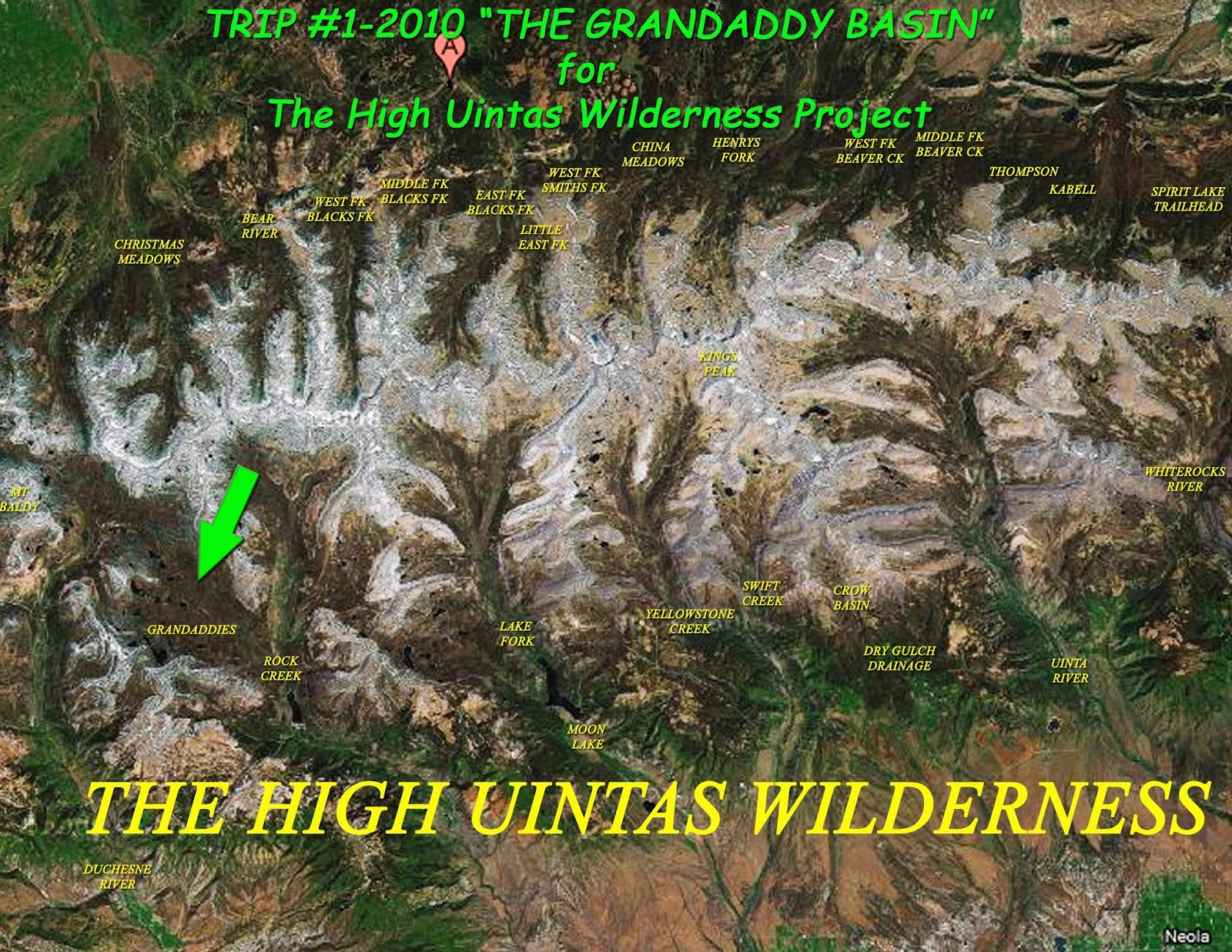
Backpack #1-2015 “Grandaddy Loop”June 15-20
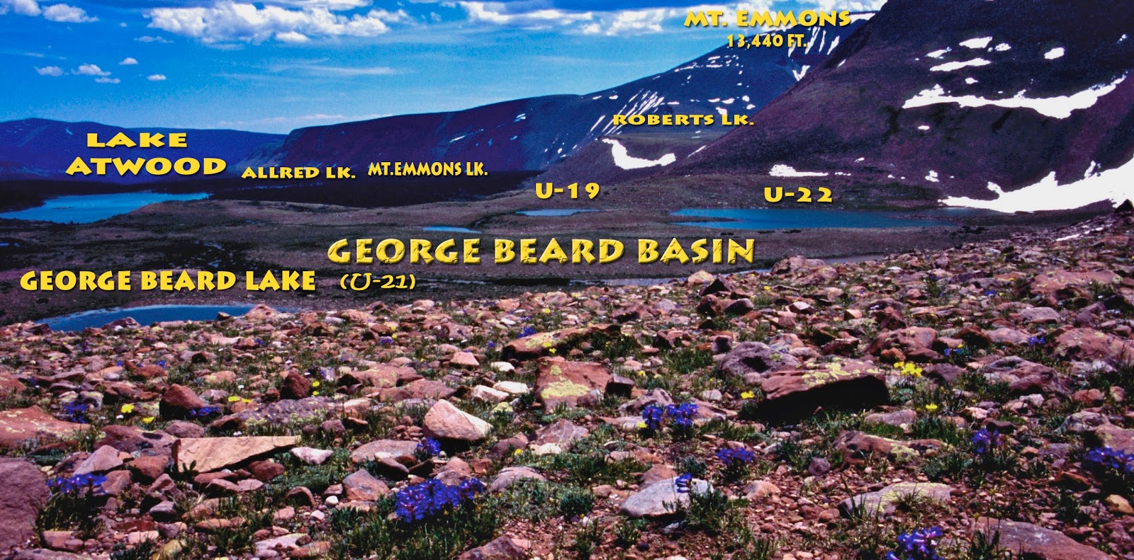
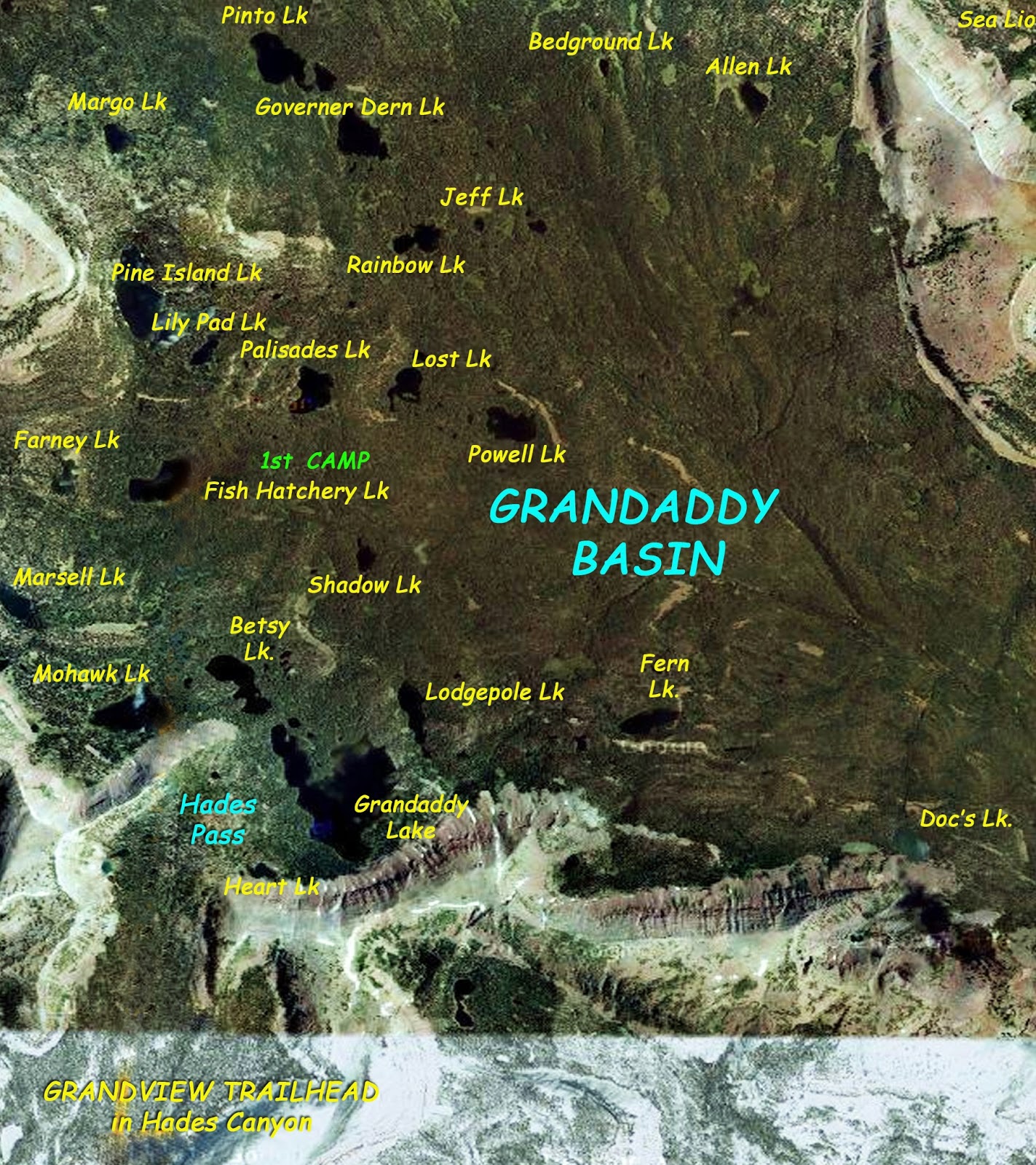
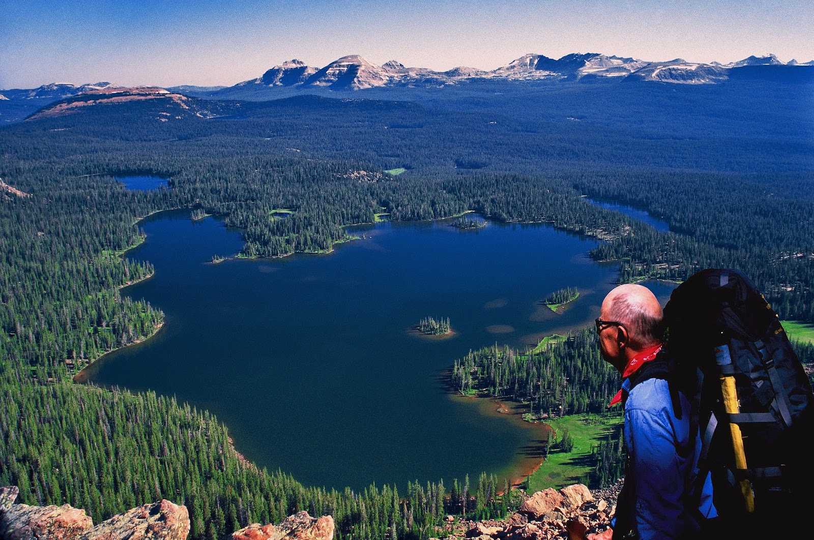
My objective in once again going into the Grandaddies was to complete my photographic collection of all the lakes in the Basin….at least all the lakes considered as serious fisheries by the DWR.
My first new High Uinta Friends, were Brad and his son.
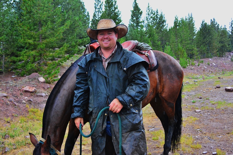
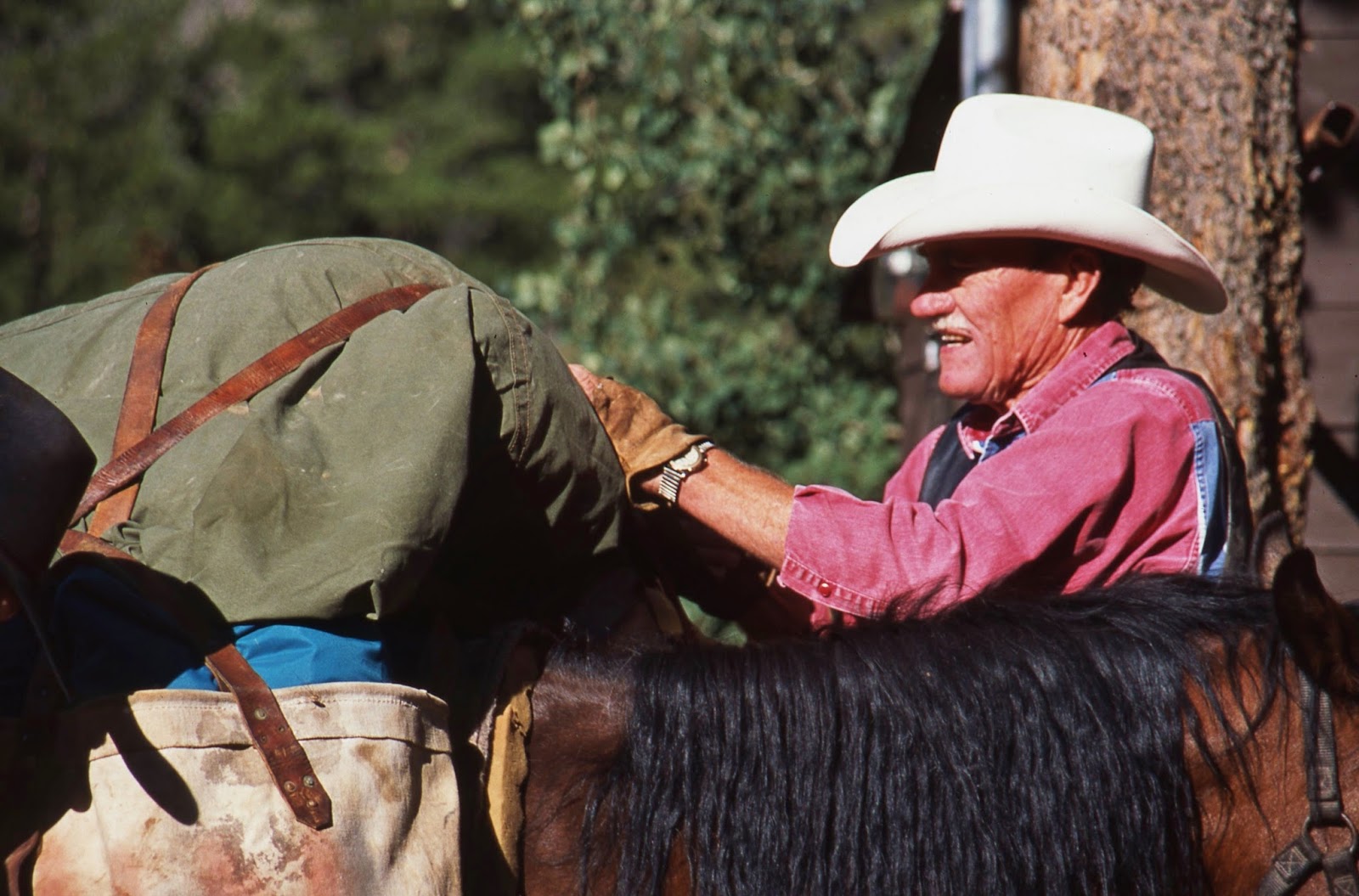
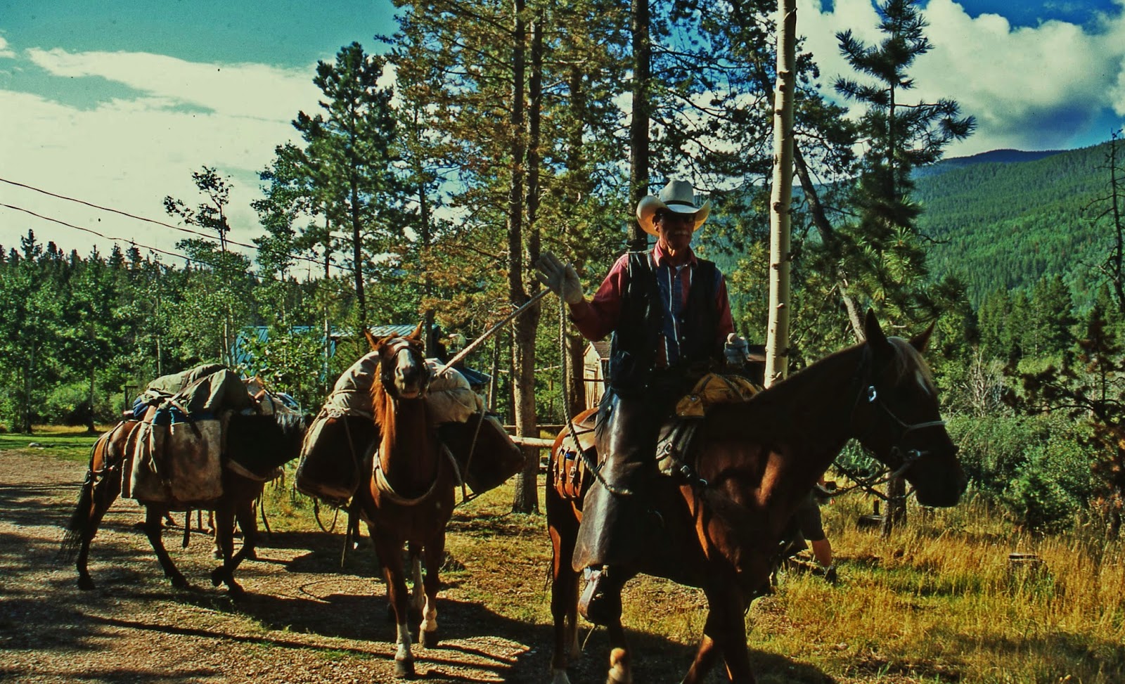
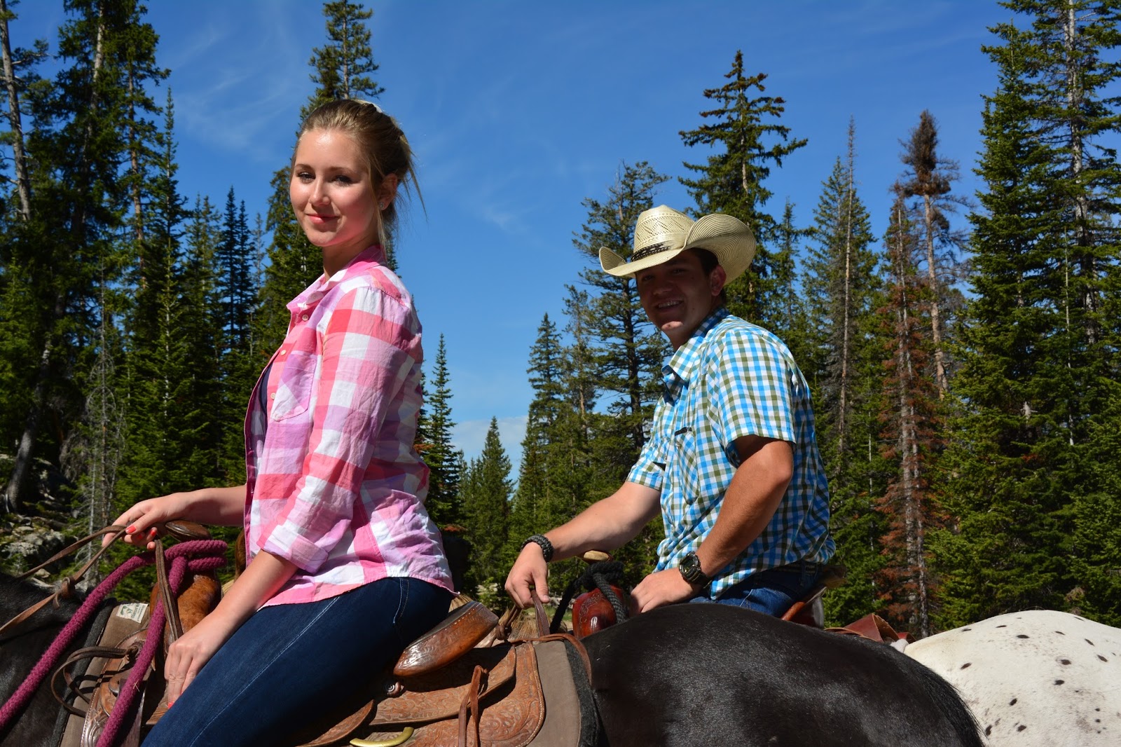
New “friends” on horseback were Spencer Turnbow and wife from Hanna.
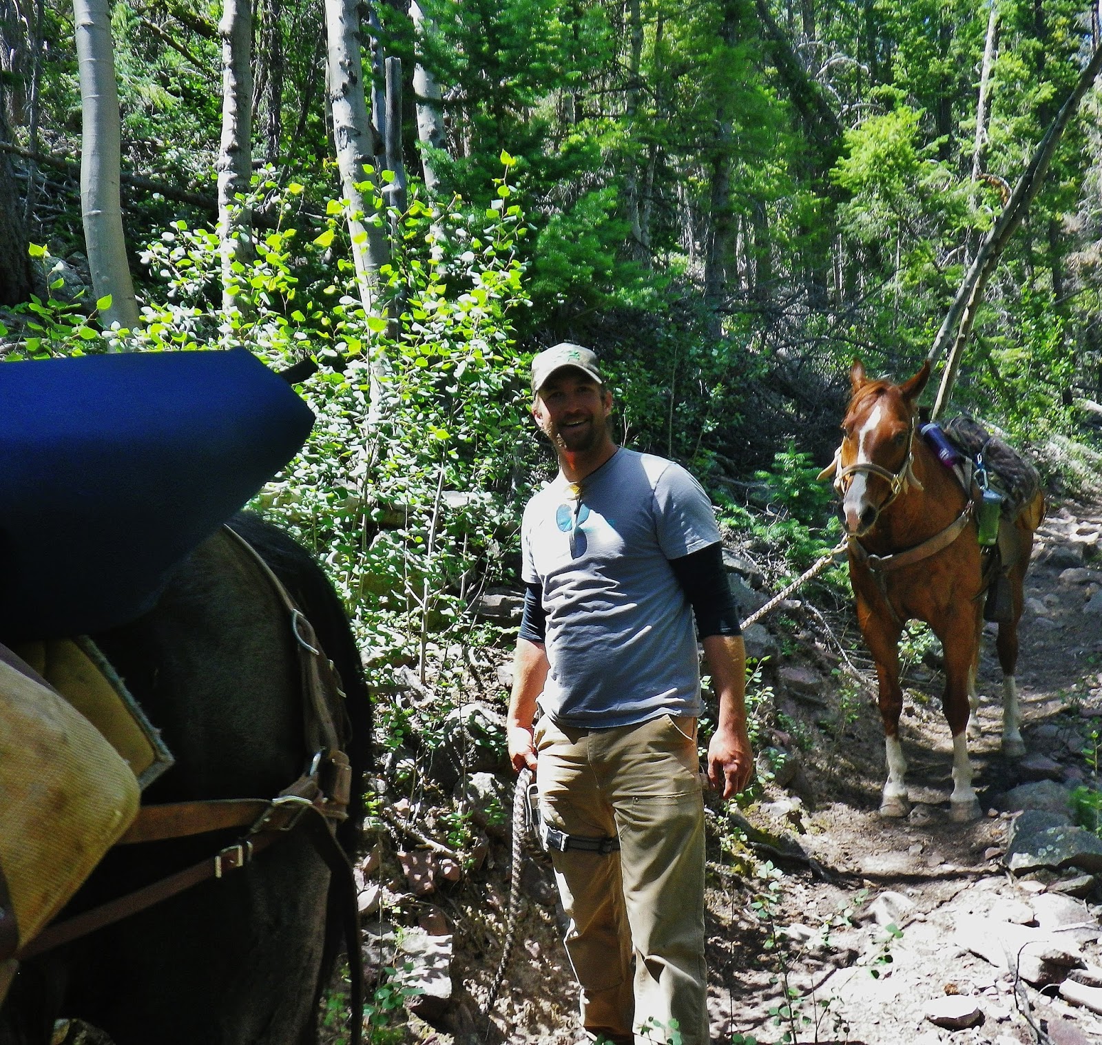
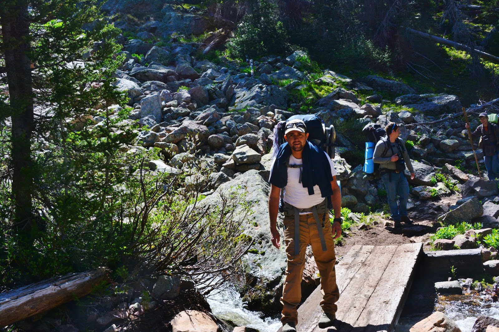
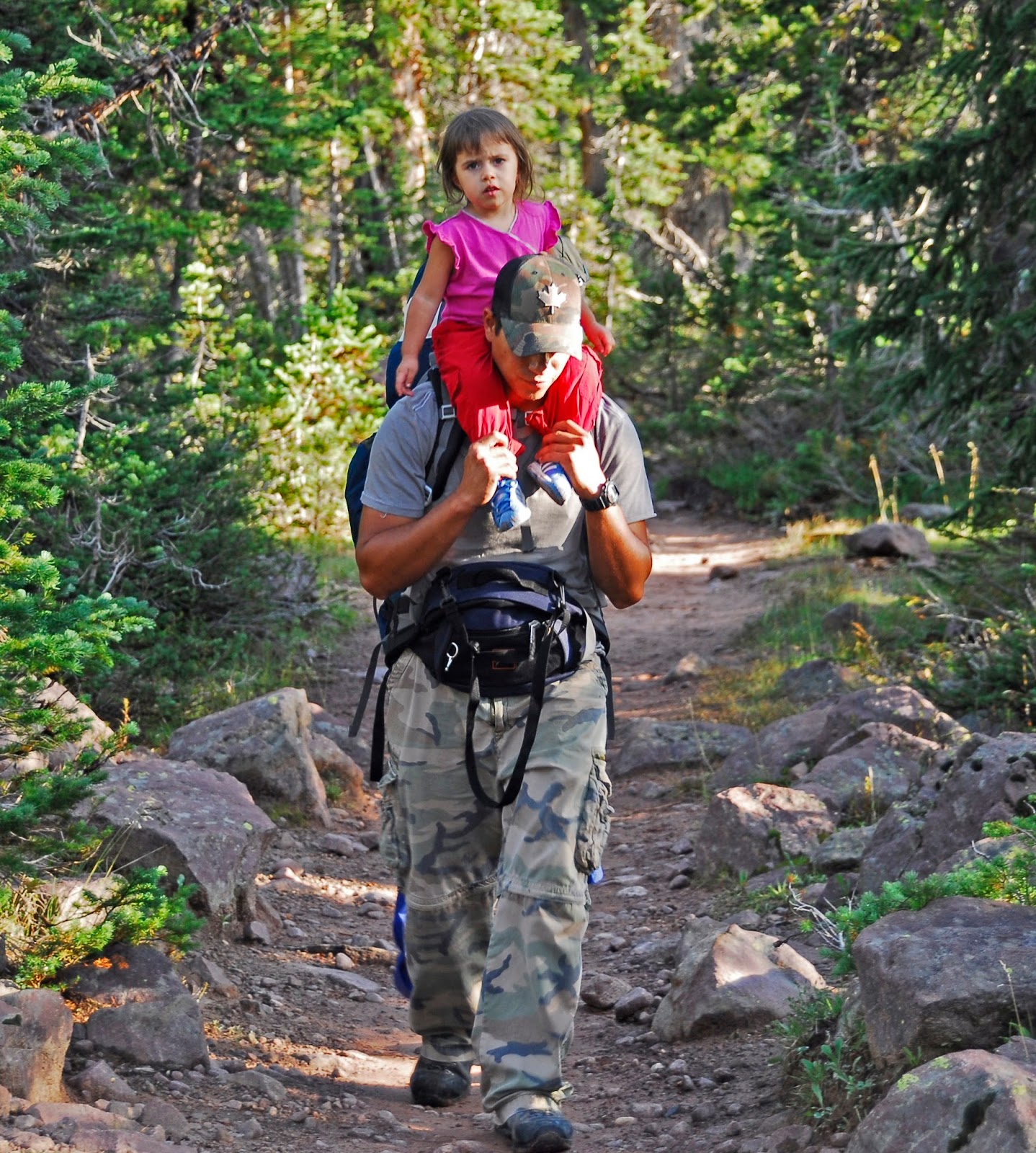
As I was shouldering my pack, Rance McGee and his 4 sons were getting ready for a 4 day backpack to Pine Island Lake.
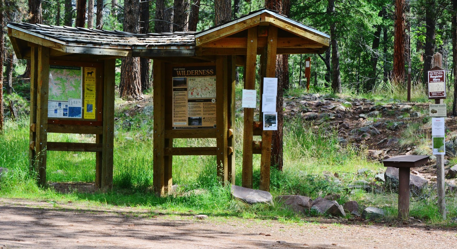
I was ready, but….all of us should keep in mind the crucial regulations…..
……. the RULES OF THE GAME….AND OBEY!
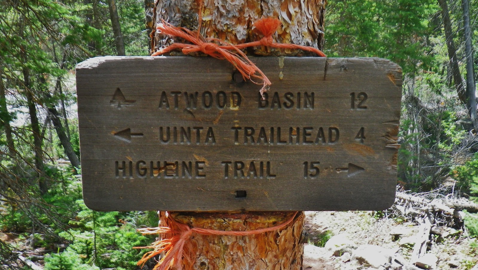
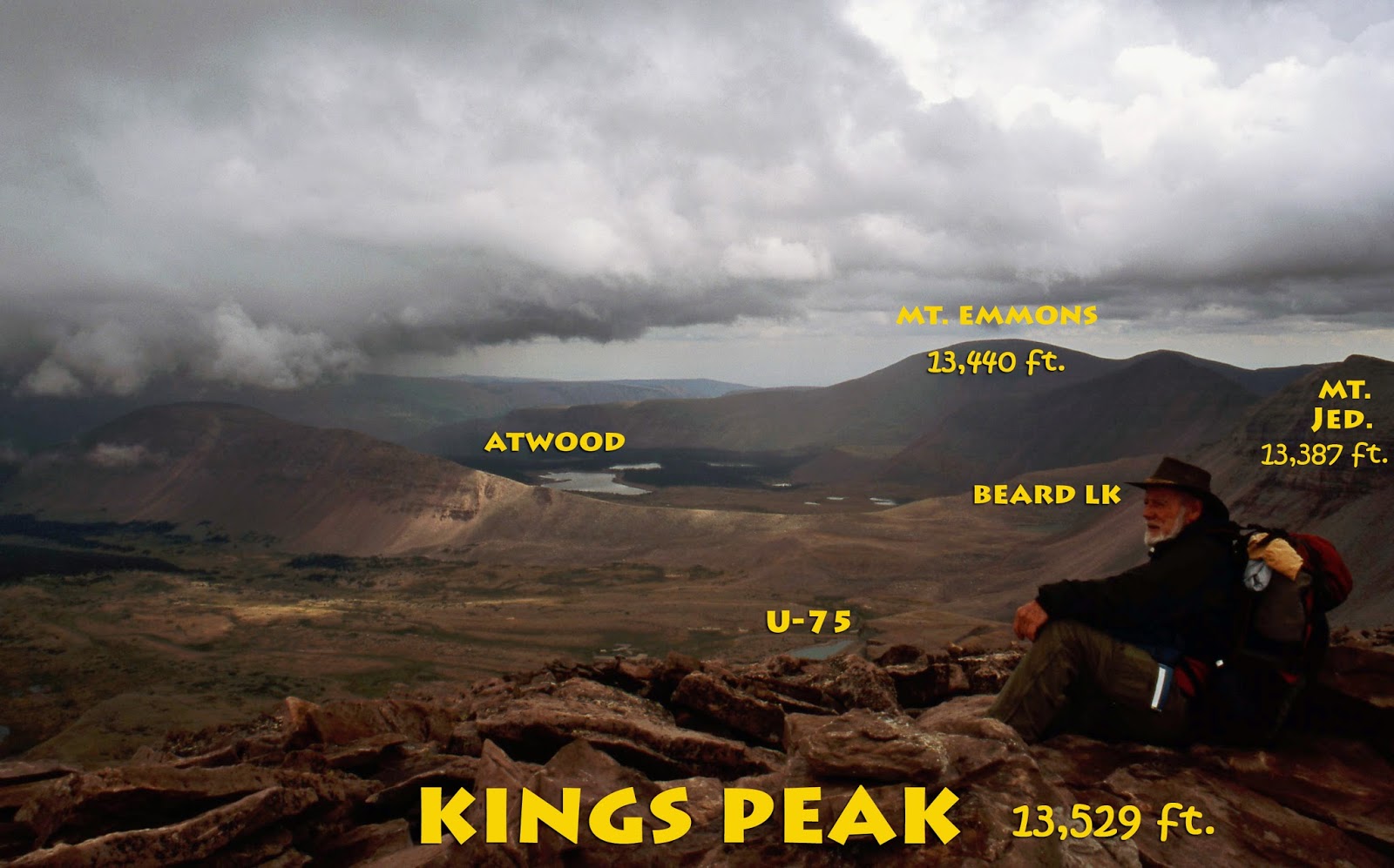
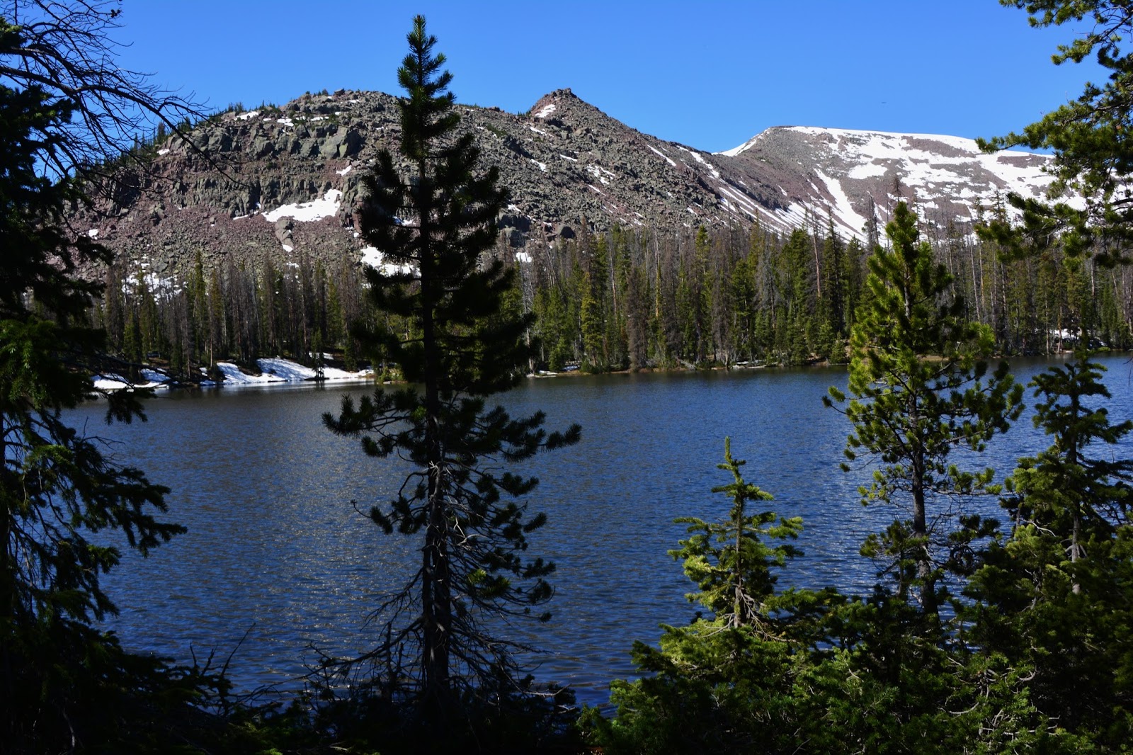
MY BASIC PLAN OF ACTIONThe plan was to hike past Grandaddy Lake, the High Uintas largest lake, and on to Betsy, then down to Lost and Powell Lakes. From there continue on down the trail to Rainbow, then to Governor Dern, and Pinto, and from there bushwhack up the mountain to Margo Lake. After camping there a night, getting good photographs, and testing the fishing, I wold from there bushwhack up to what I’m calling Margo Pass and down to and around Pine Island and Lily Lakes. Then follow the trail back to Fish Hatchery Lake, up to Betsy Lake and then retrace my route back to the trailhead, making a loop around the basin.
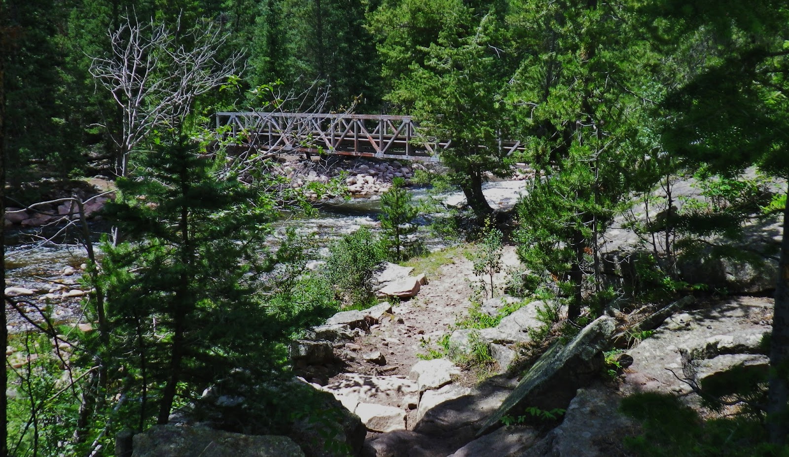
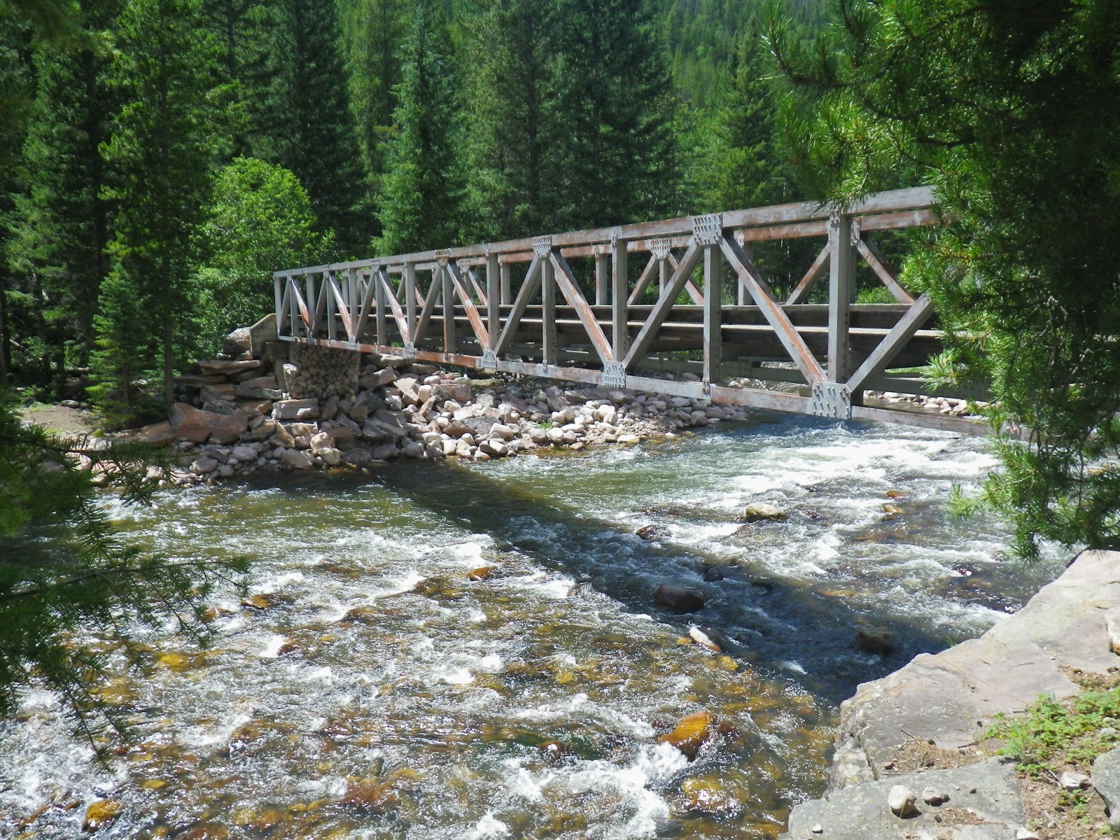
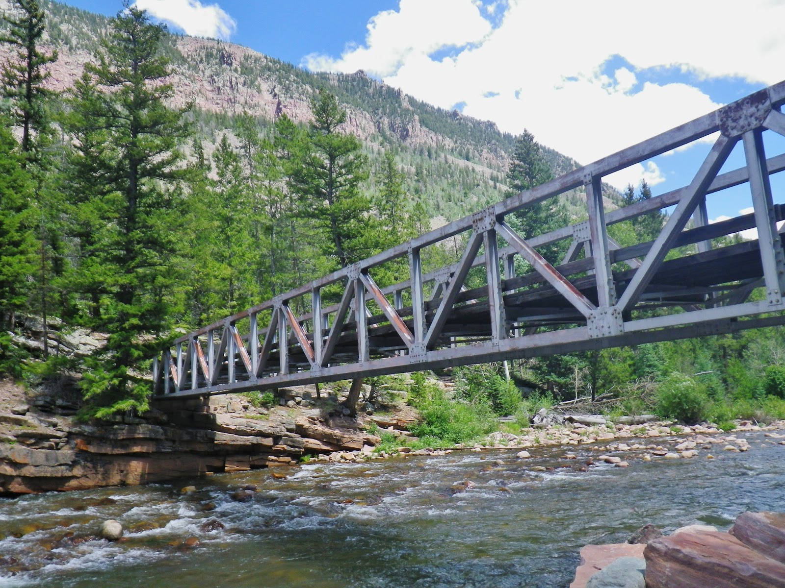
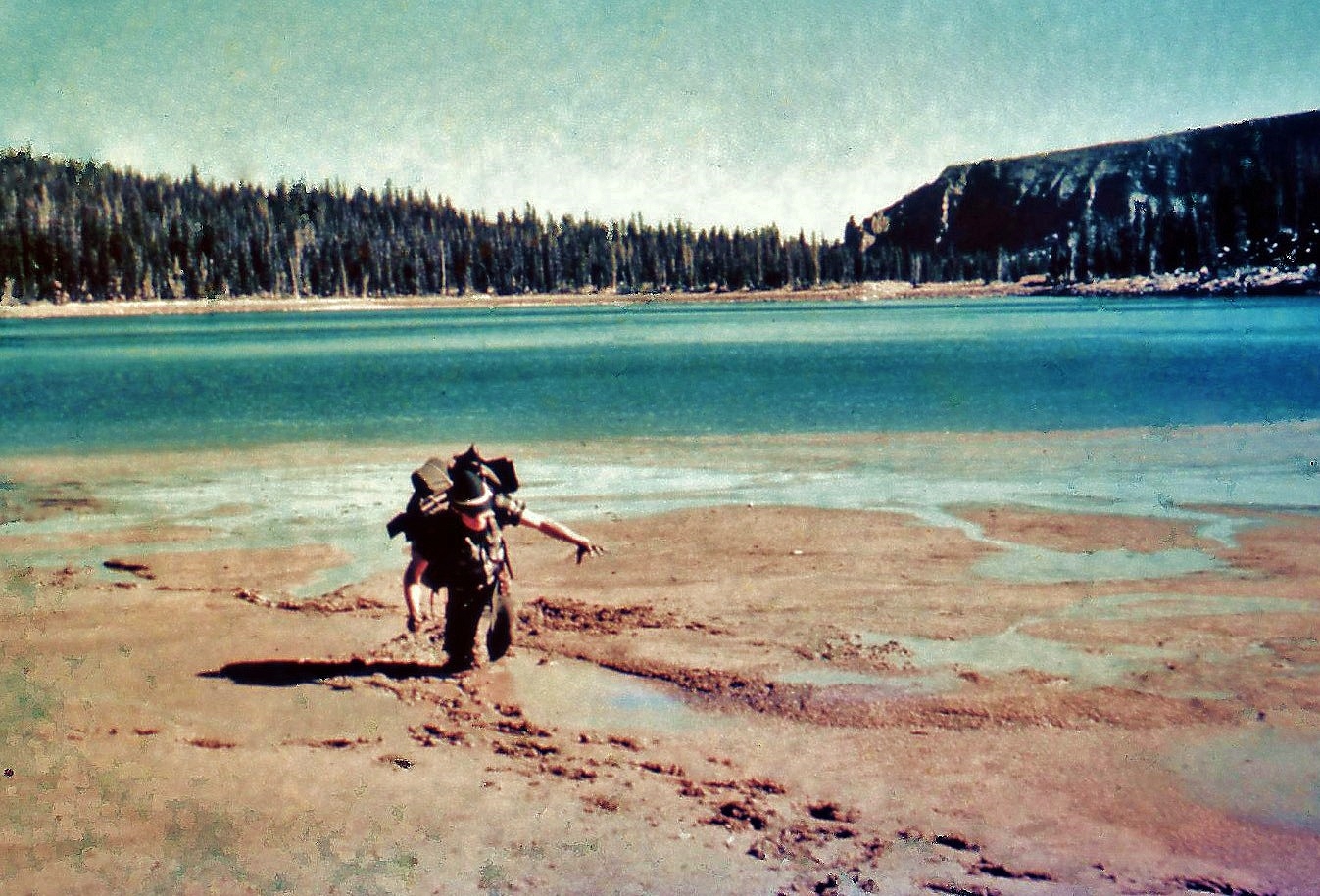
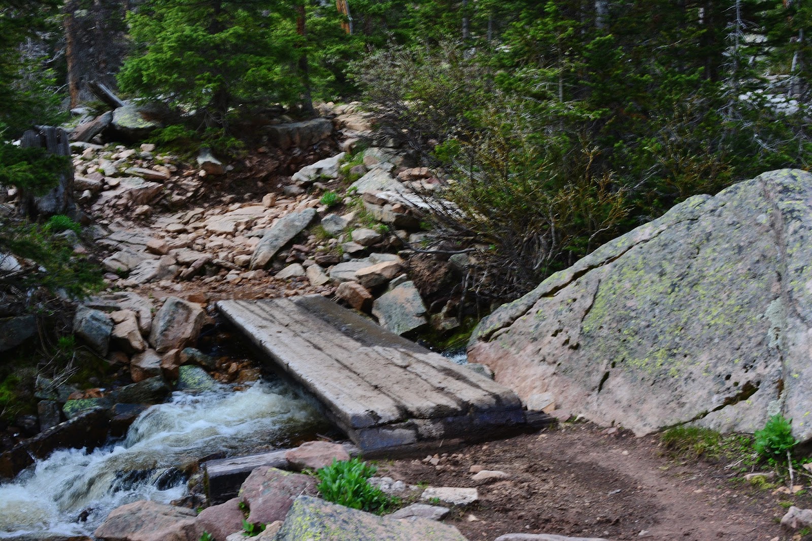
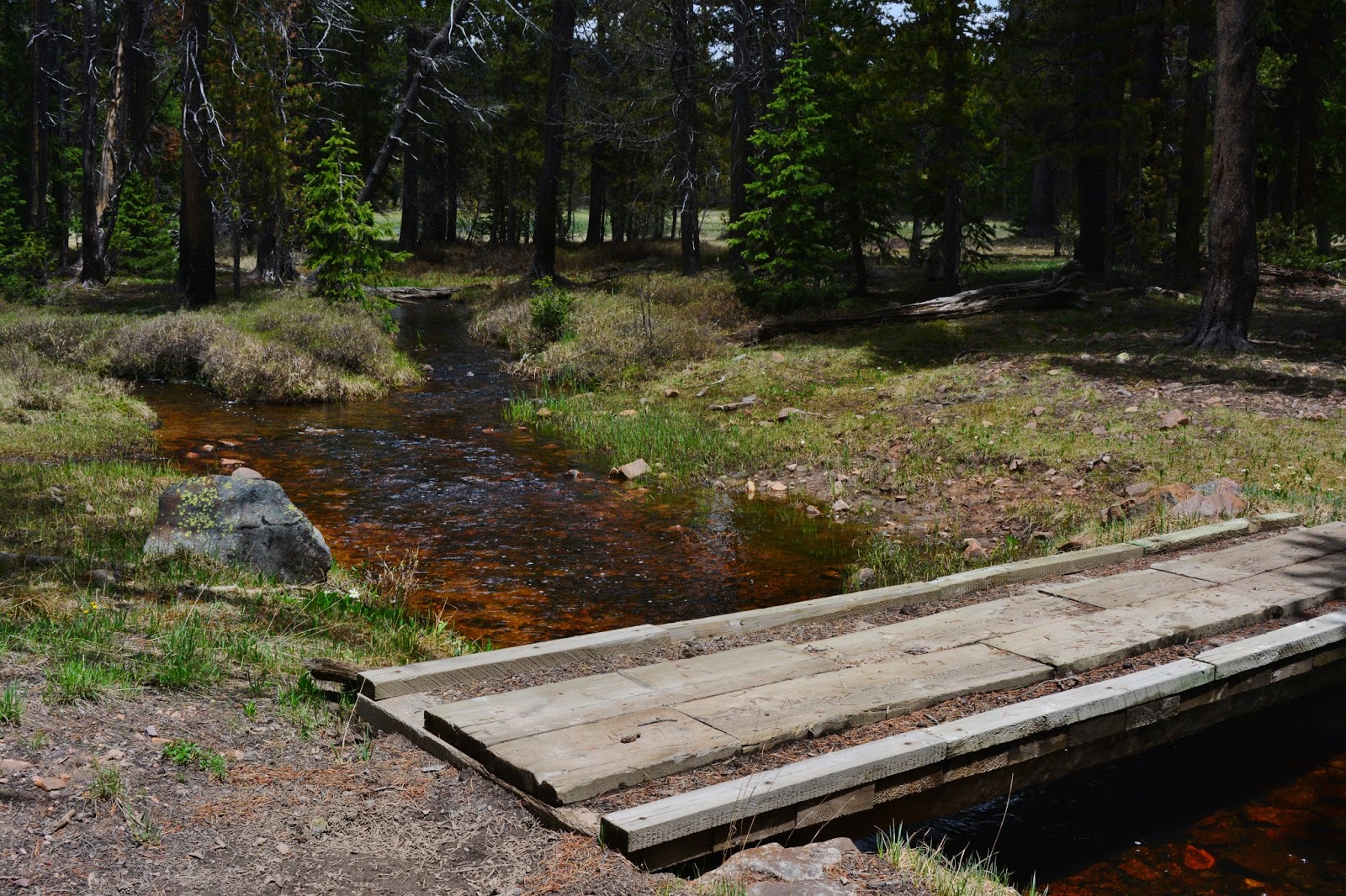
A short distance from the trailhead you come to this foot bridge which you see above on June 15, 2015. You can compare the amount of snow and runoff with how it was back in 2011 seen below.
Here comes the Air Force McGee…… stationed in Omaha, Nebraska,
Thanks for your service!
OF GREAT IMPORTANCE
Normally in June the mosquitoes aren’t out yet and so it’s a great time to backpack…….but SURPRISE!
The mosquitoes are out and in some places with a vengeance, so go prepared with your 100% DEET REPELANT
NOW…..
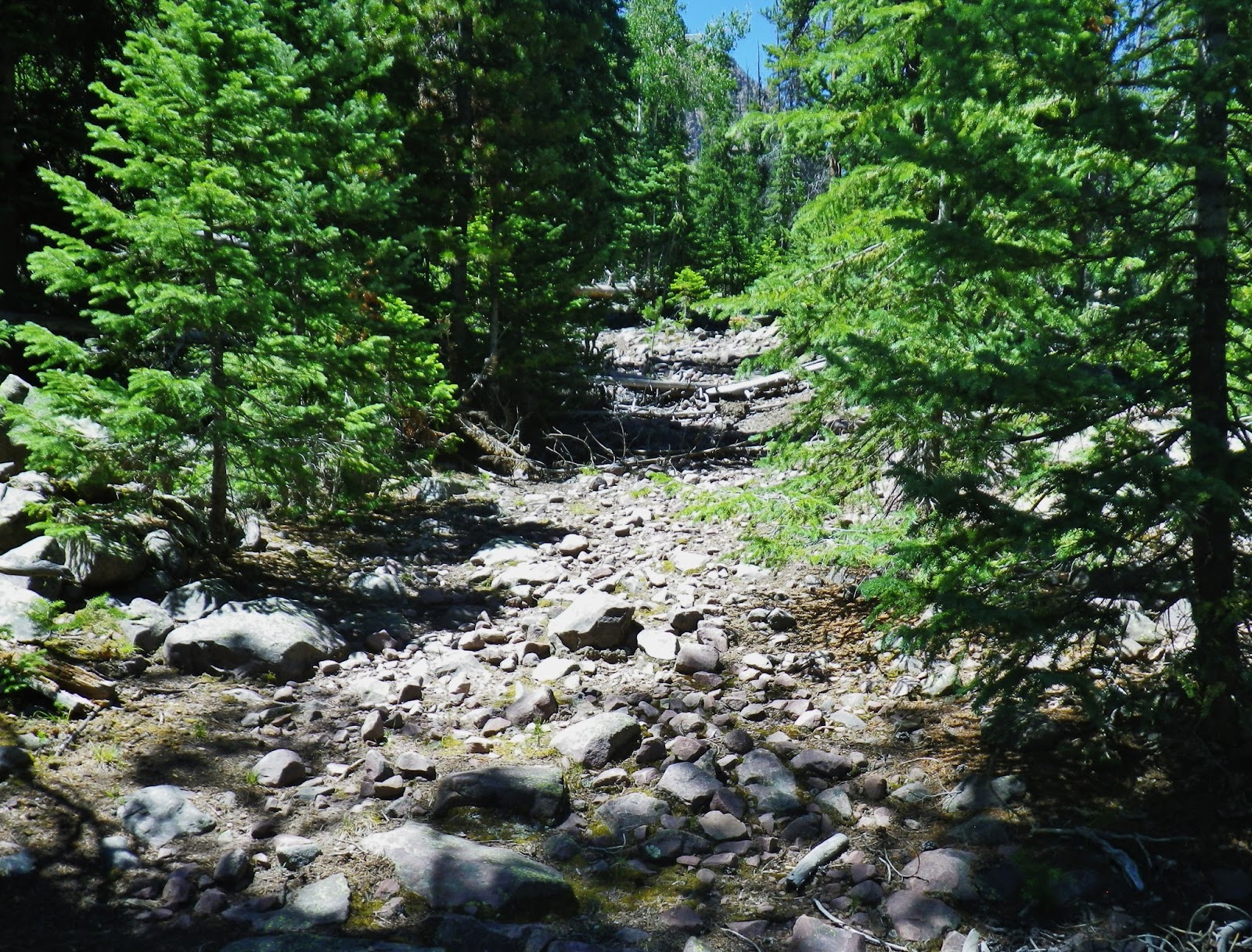
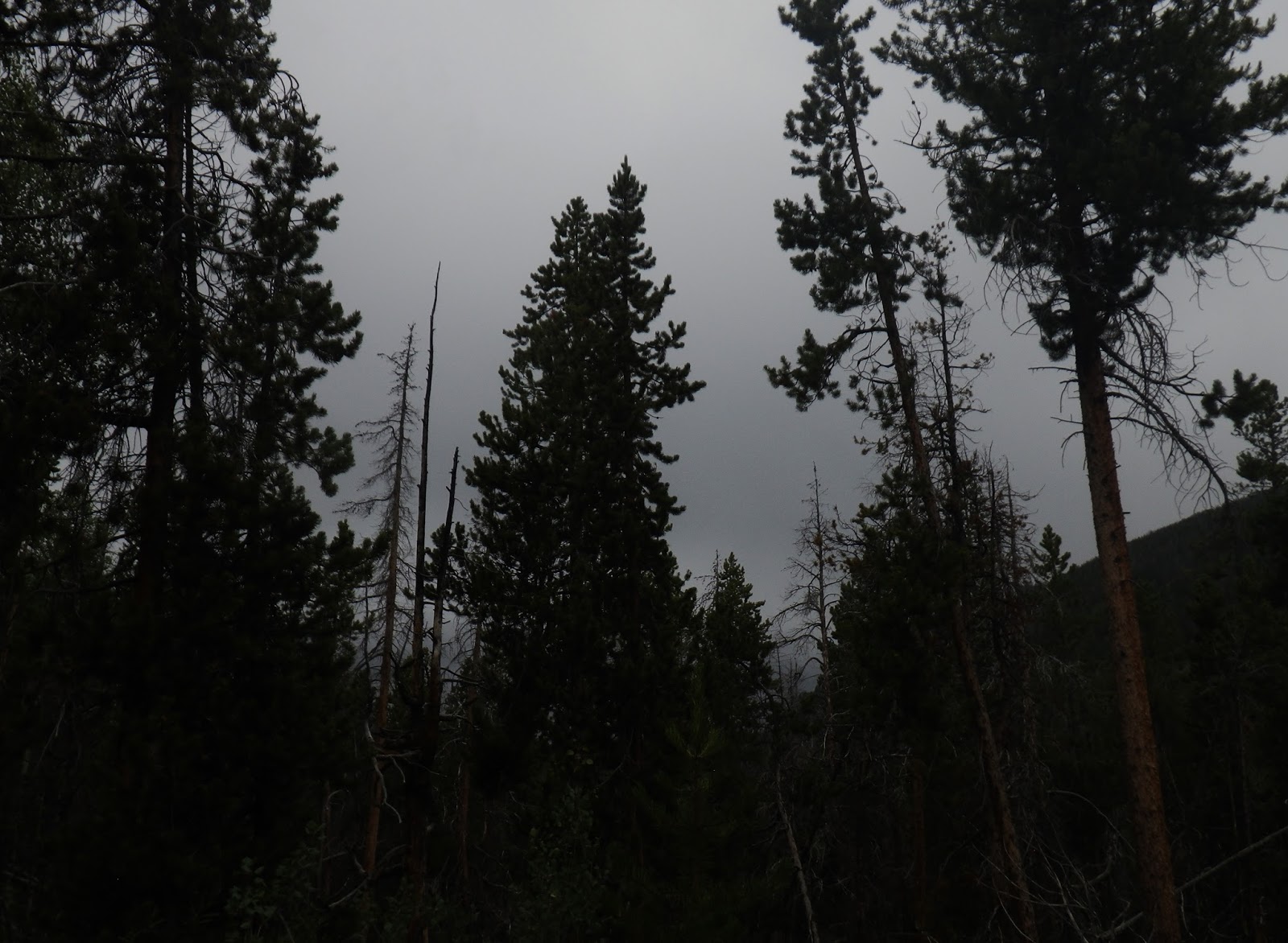
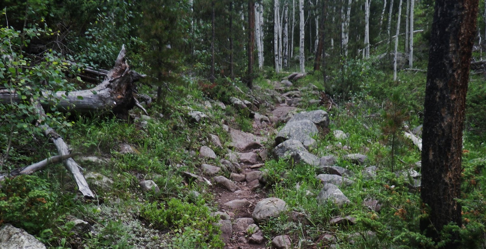
…….UP THE TRAIL!
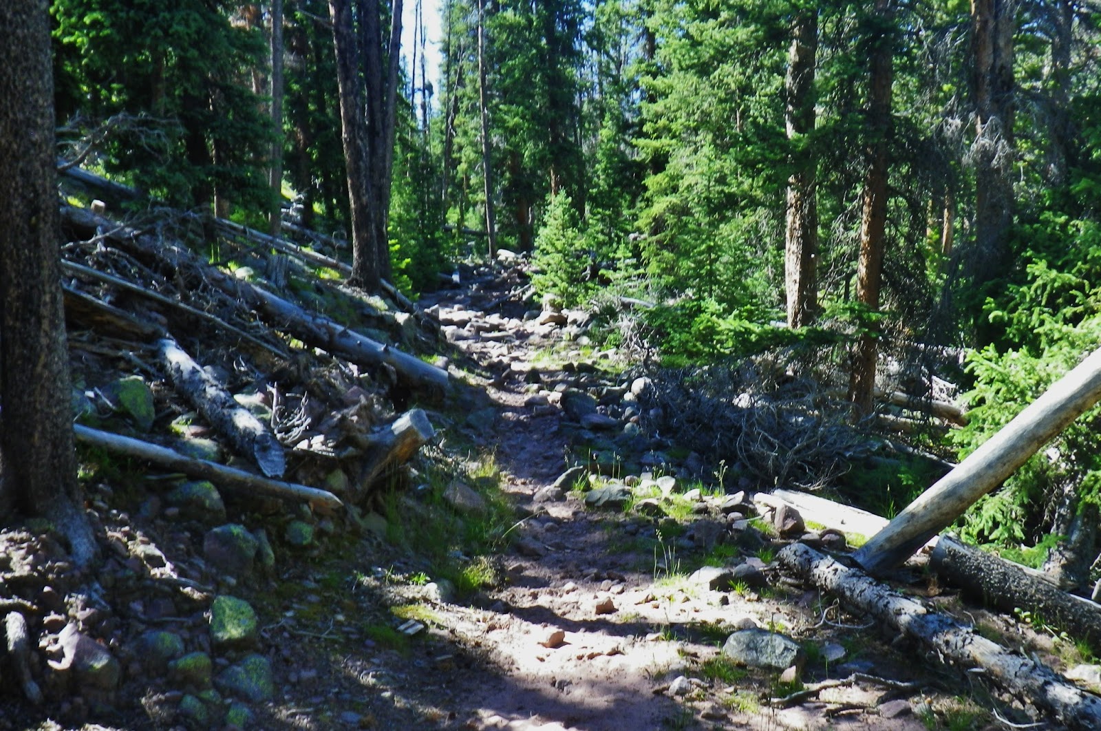
No well groomed Pacific Crest Trails for us tough Utahn’s!
Hey, you WILDERNESS RANGERS! Where are you when we need you?
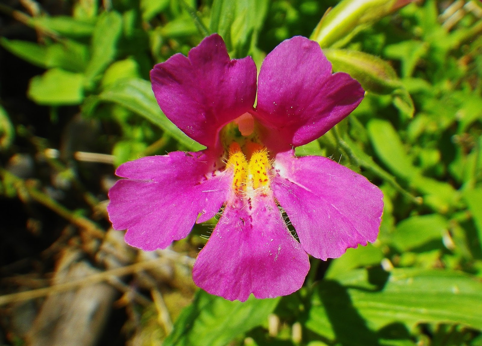
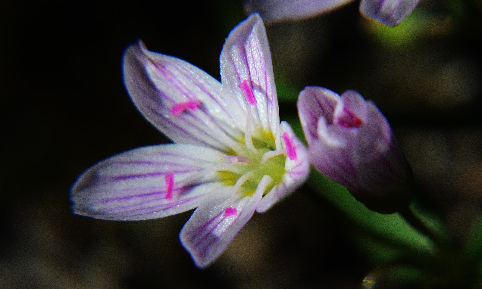
SPRING BEAUTY! a tiny little flower 1/2″ in diameter.
Meet BUDDY & RICKY FOWLER from Pleasant Grove, Utah
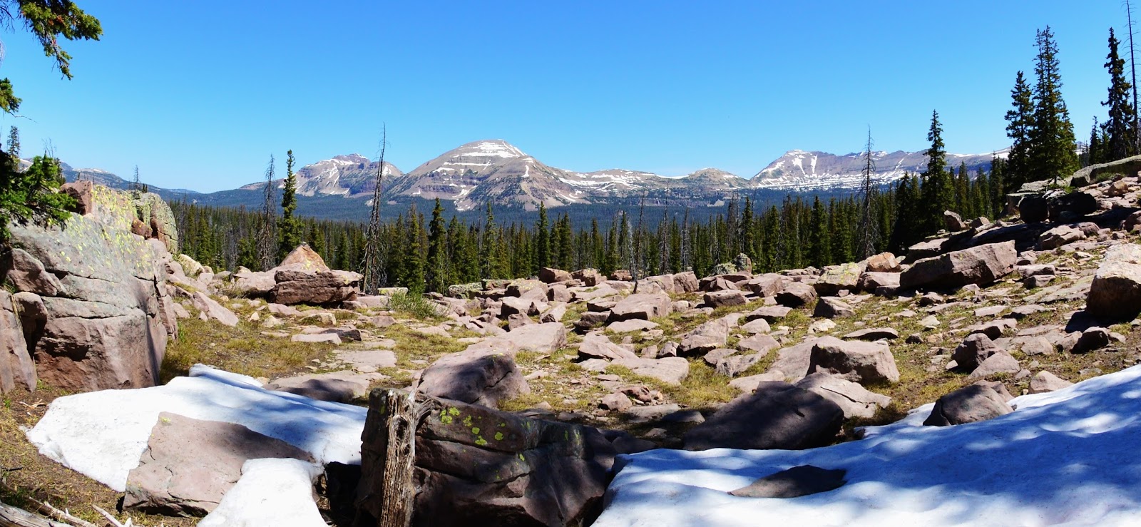
From Hades Pass down….still snow on June 15th, but gone by June 20th
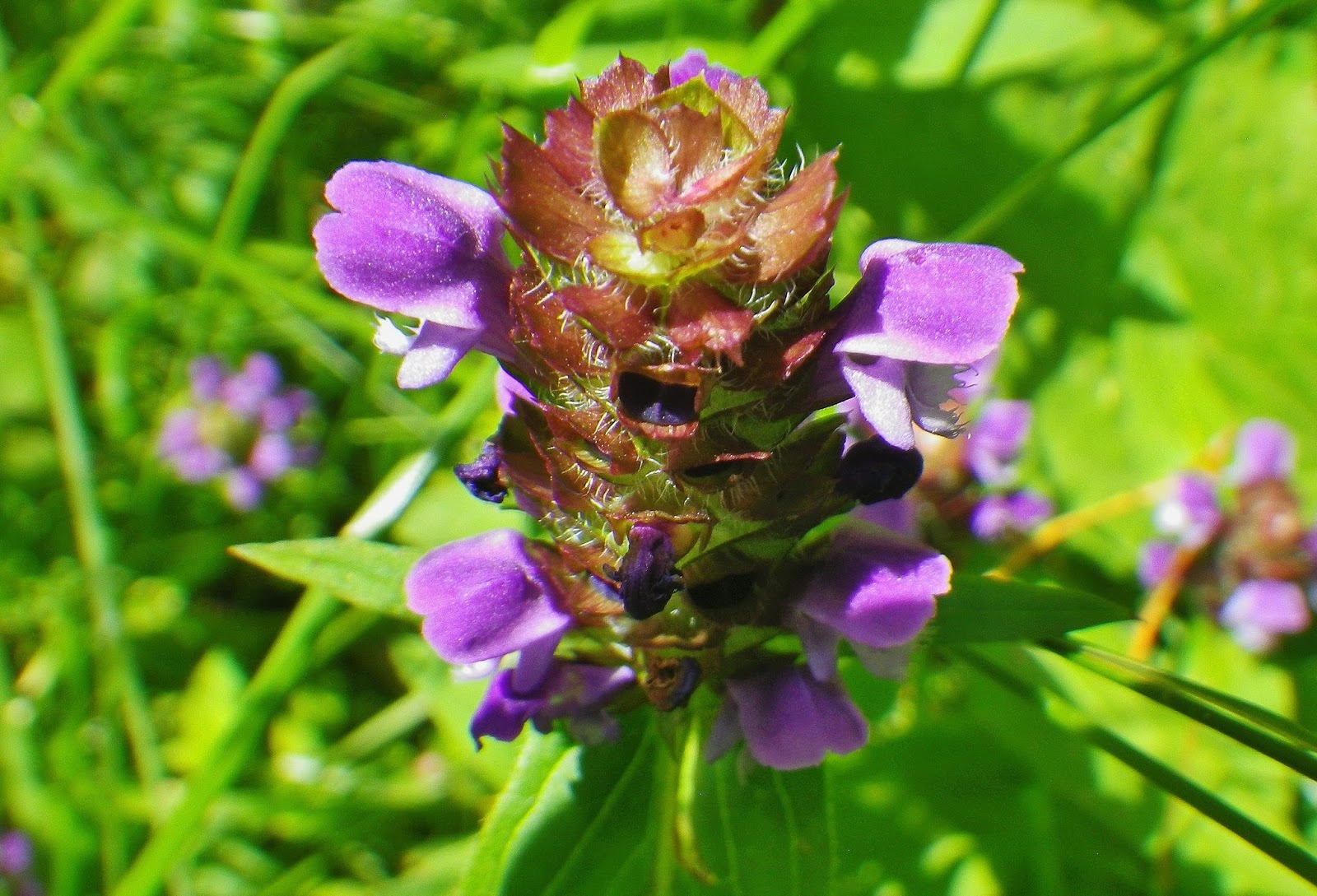
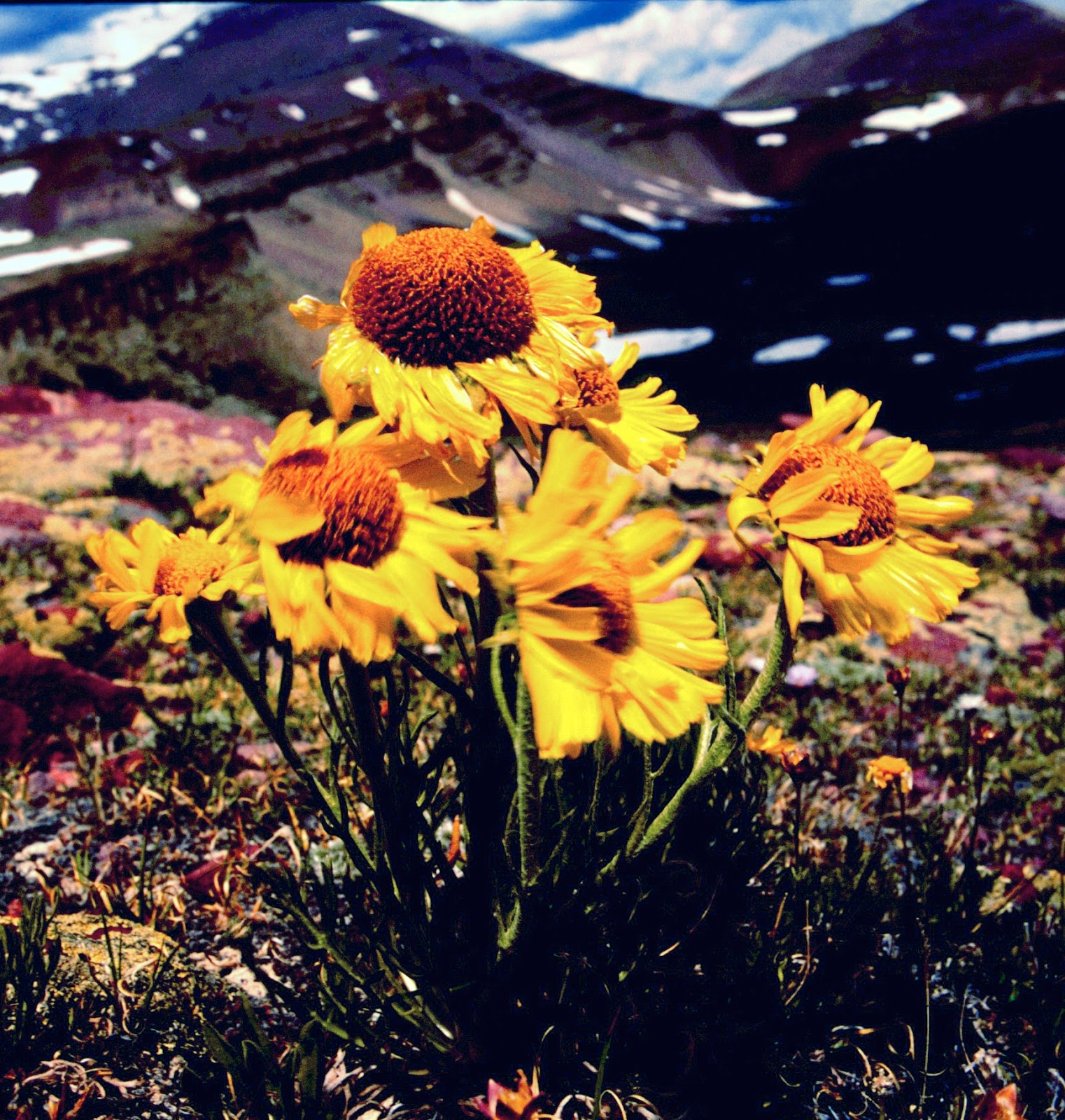
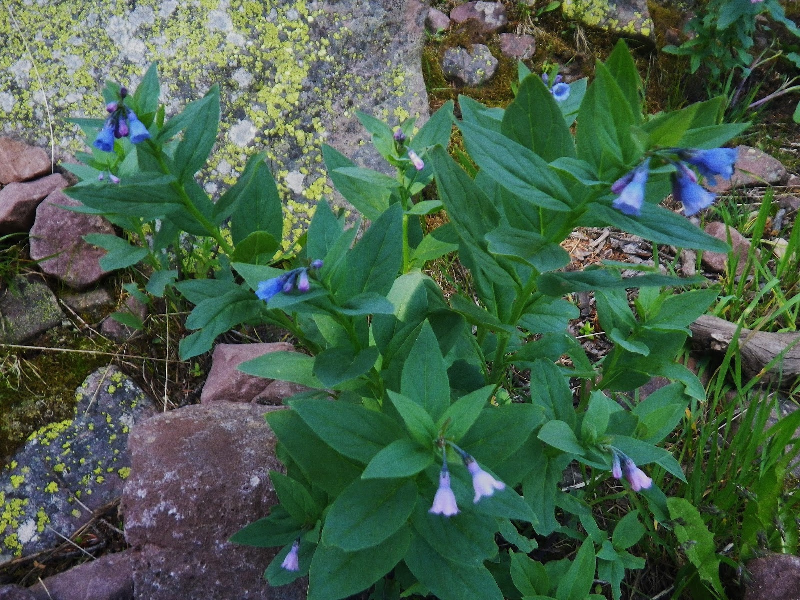
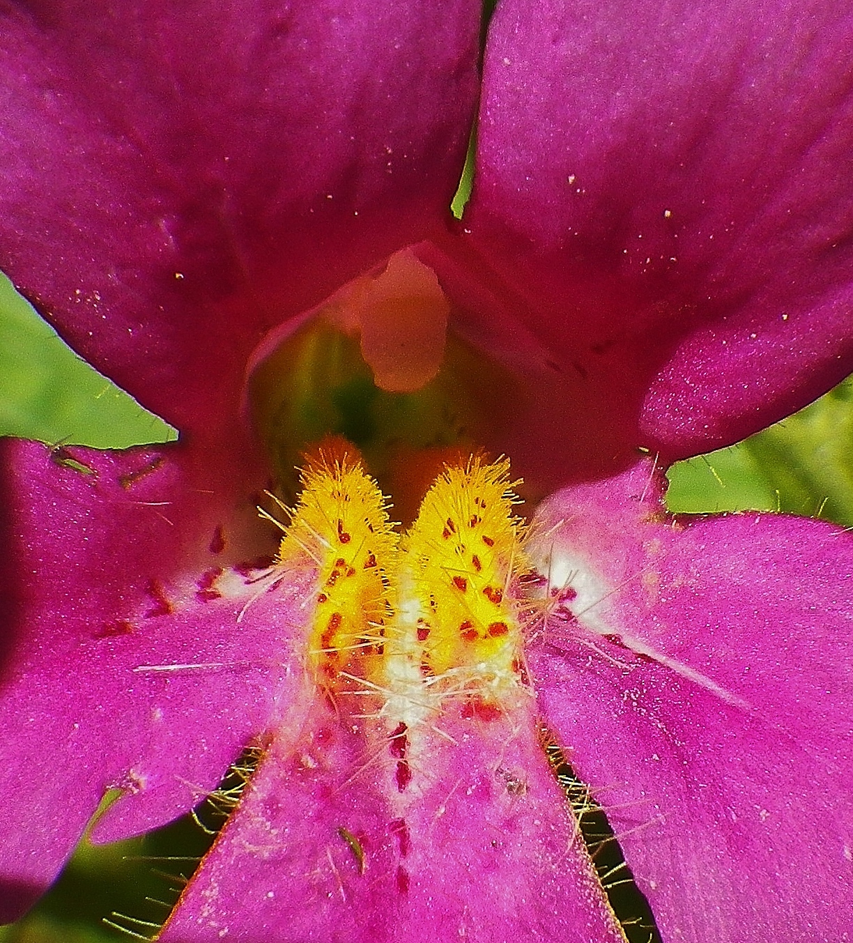
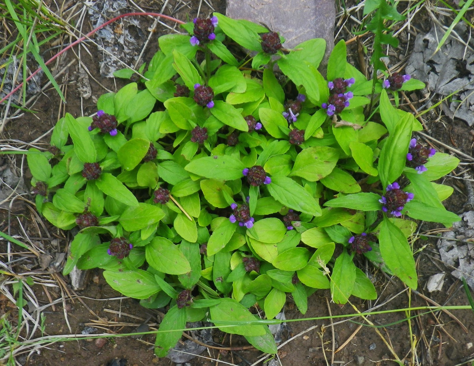
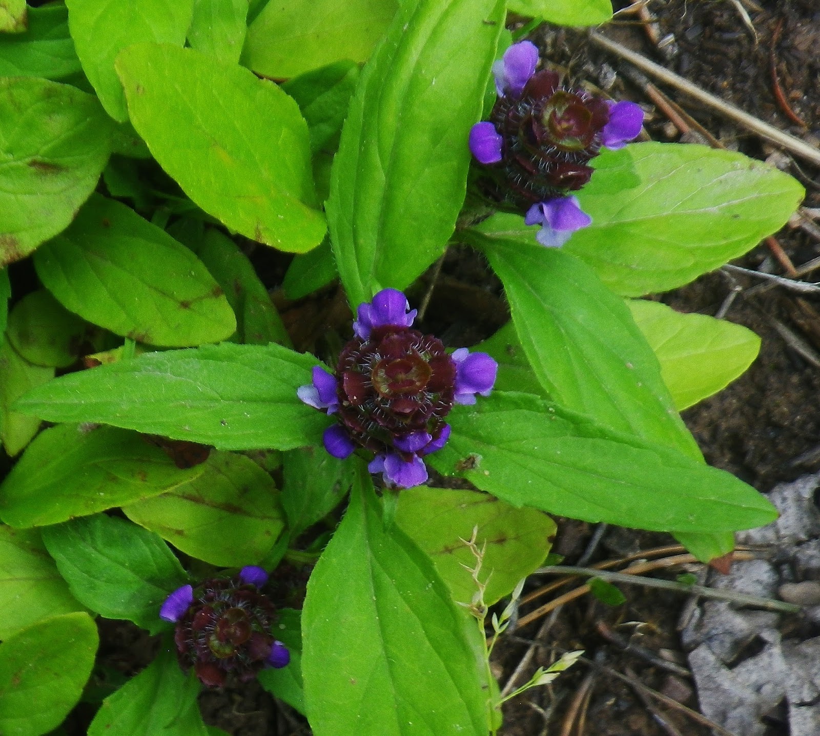
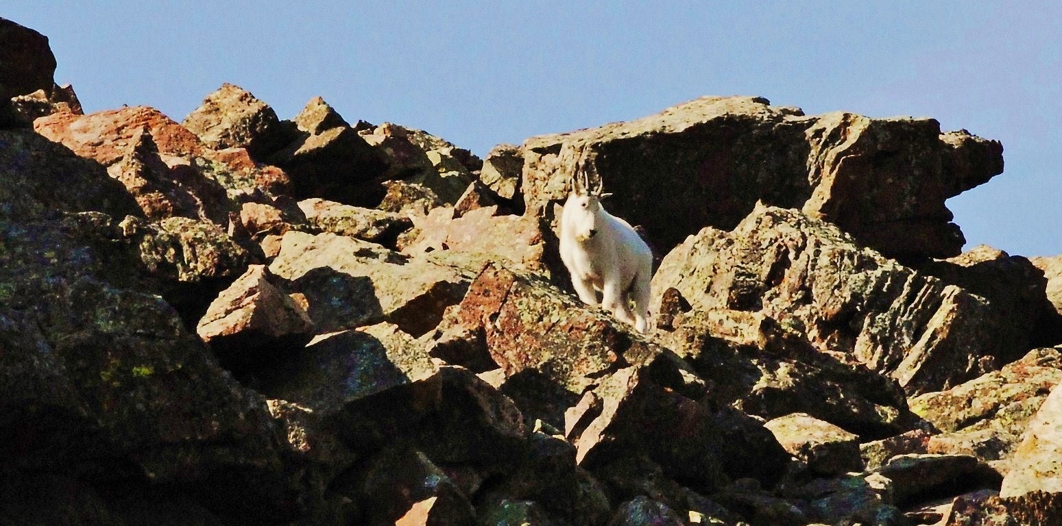
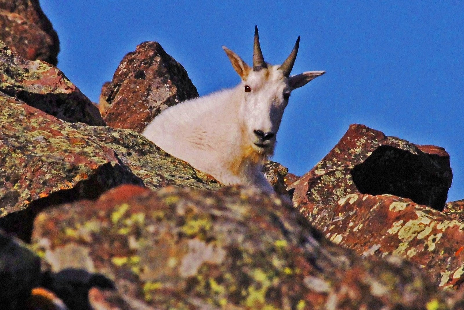
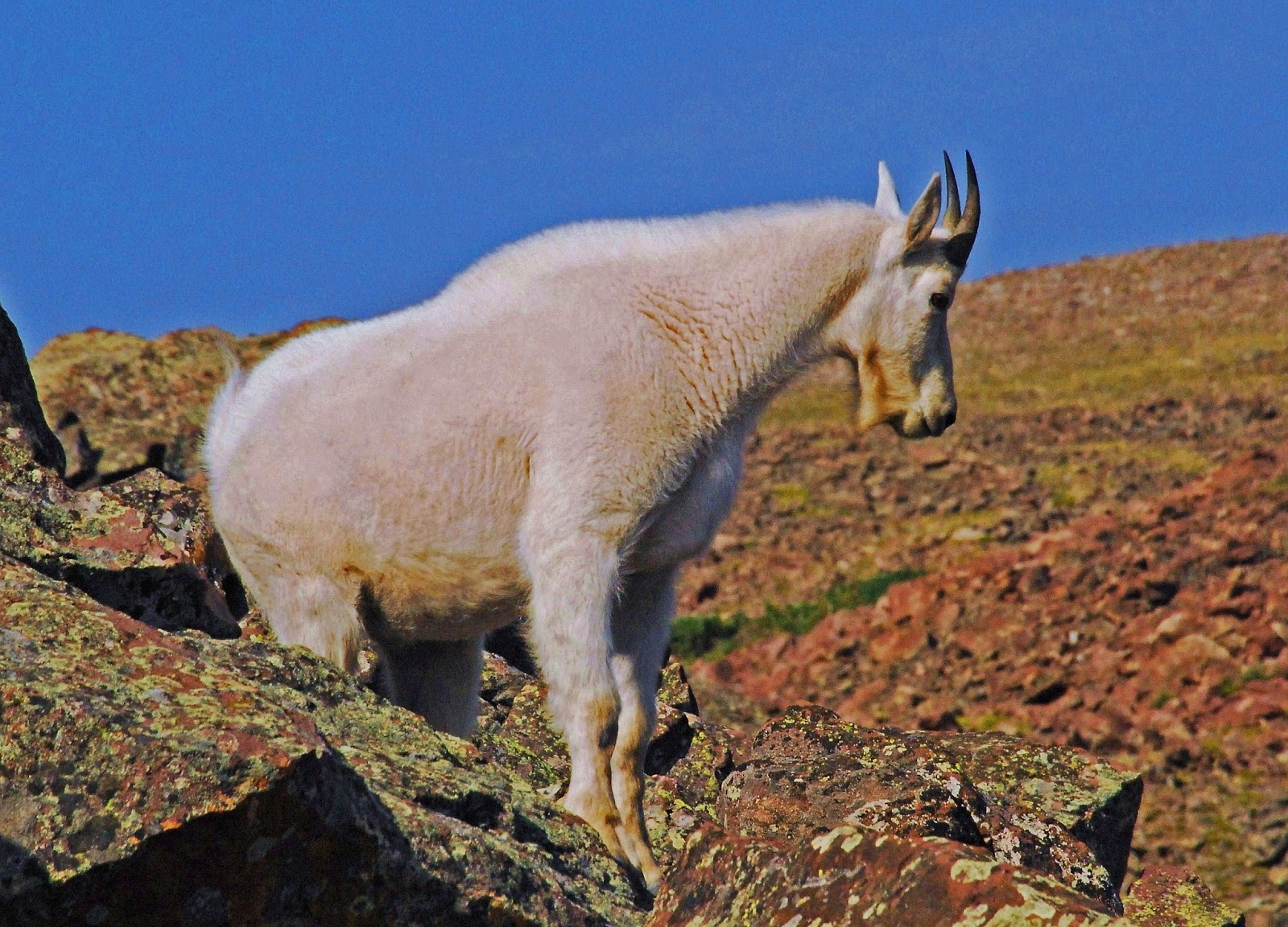
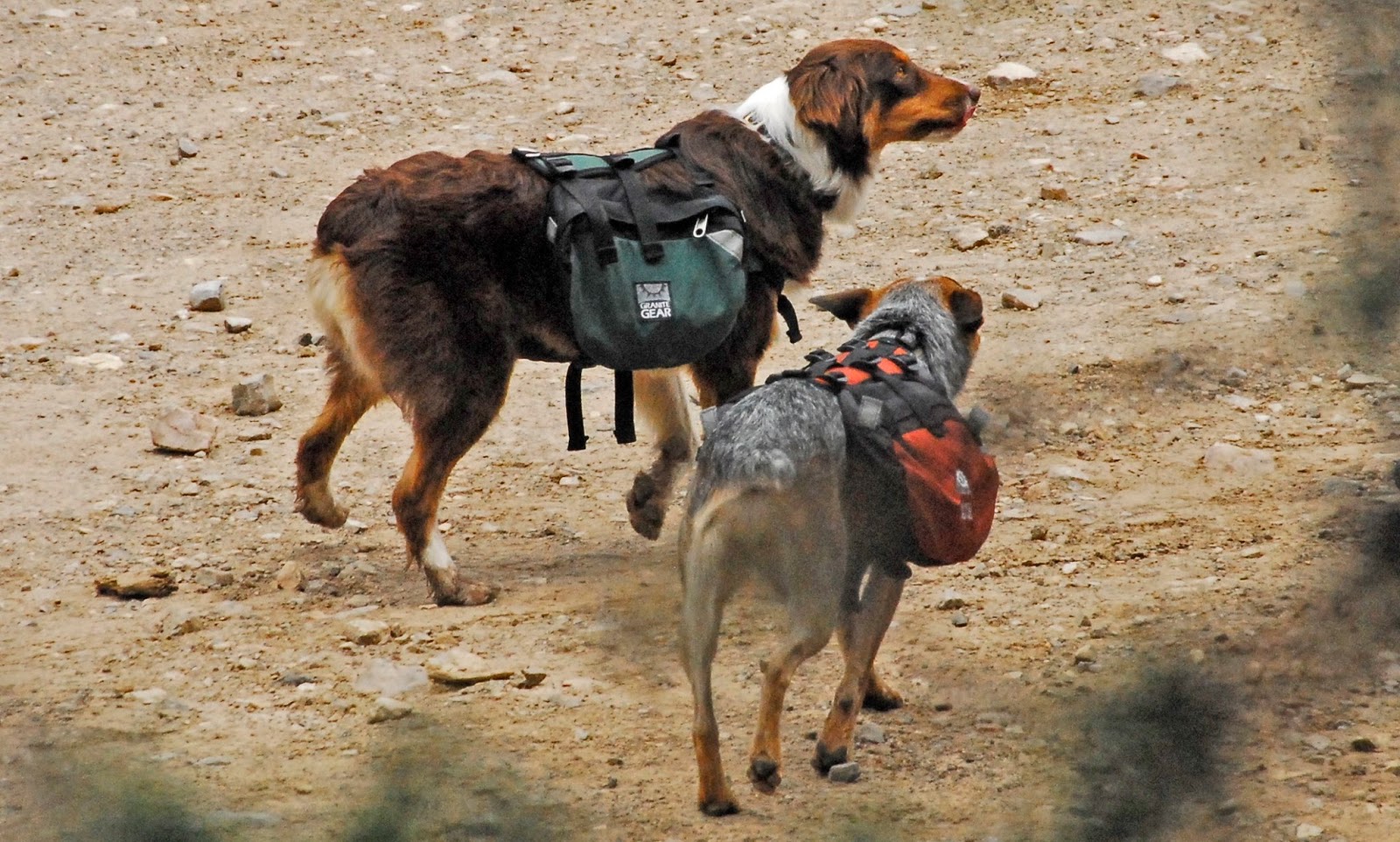
The Uintas are coming alive with all kinds of wonderful life forms….
……..slow down some and ENJOY these beautiful VISIONS OF NATURE!
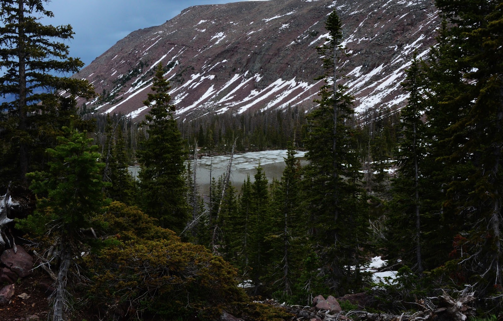
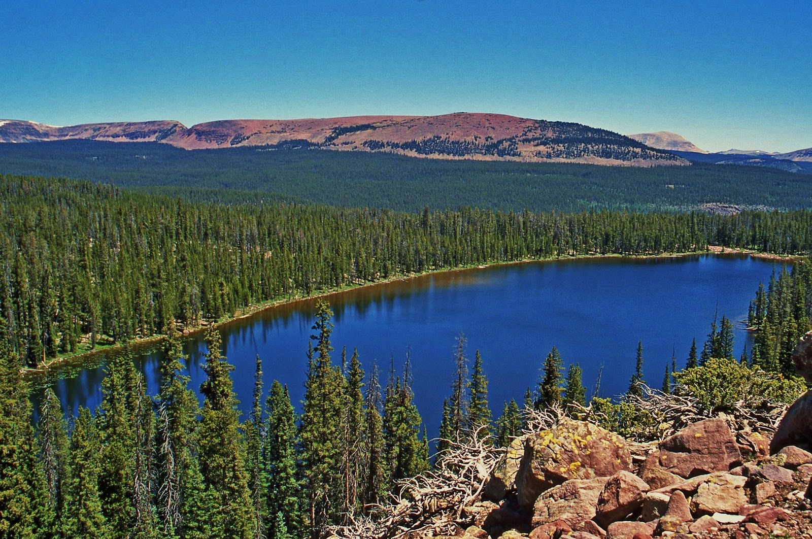
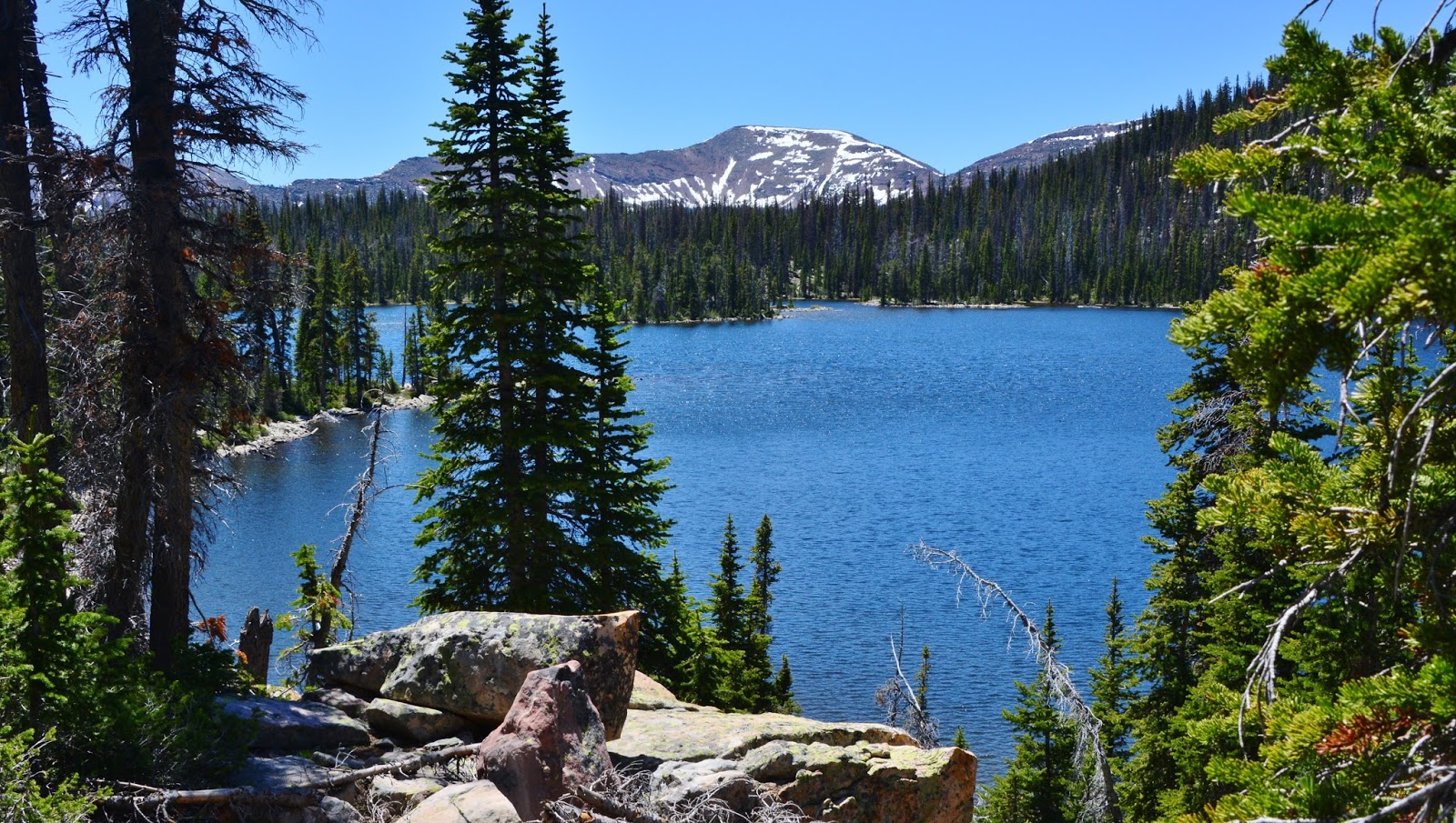
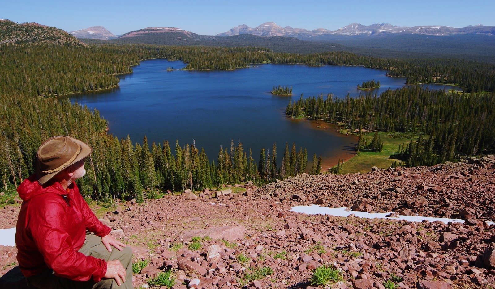
Heart Lake still with a little ice, but it disappeared fast.
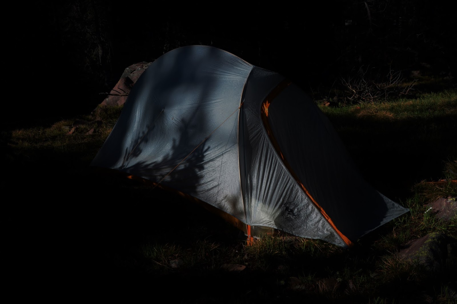
No ice on Grandaddy Lake….but overcast with storm clouds moving in…..so had to move fast to Betsy Lake…“fast” at my “stalking pace” which is pretty well top speed, and I literally prayed as I hiked that the storm would be held back giving me time to find a good camp site and get my tent up!
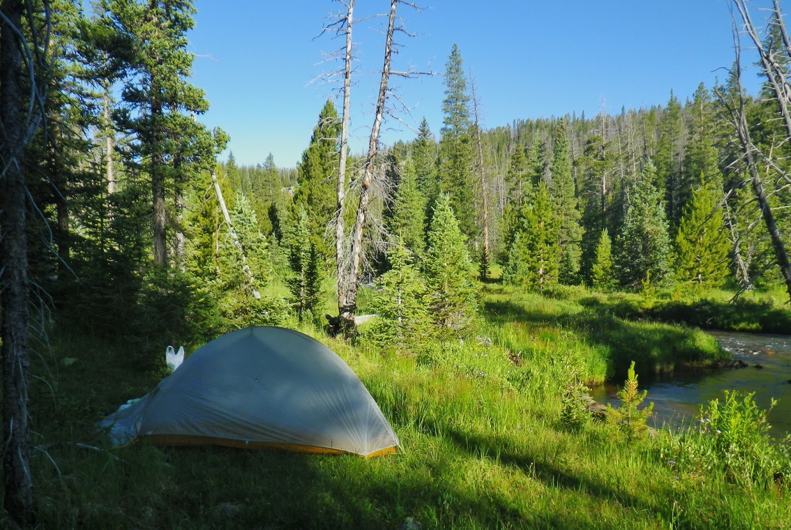
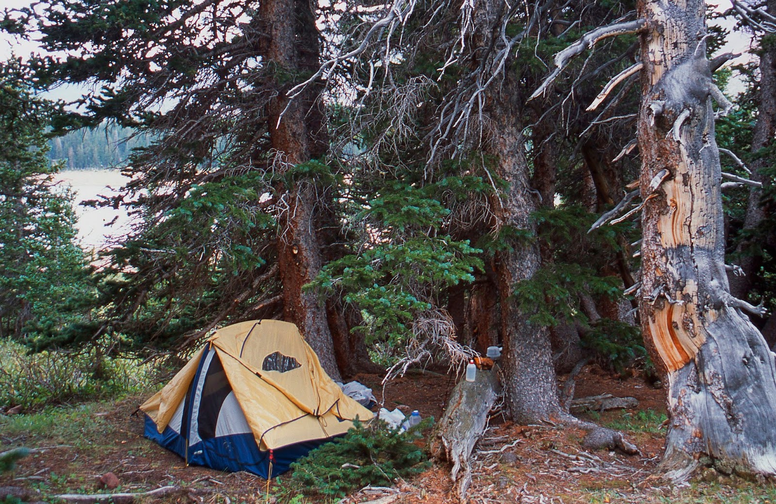
I quickly did a poor job putting up my tent with a few drops of rain already falling, and stuffed my pack inside and jumped into the chaos. No time to cook dinner, no time to go for water….except for a small bottle I filled in a nearby swamp!
It persisted like the 3rd World War all around me most of the night!
My new “Life Straw” saved me as I could drink straight from the bottle of bad water.
I borrowed portions of other meals that didn’t require cooking, along with my supplements that filled my growling stomach….sort of!
DAY TWO
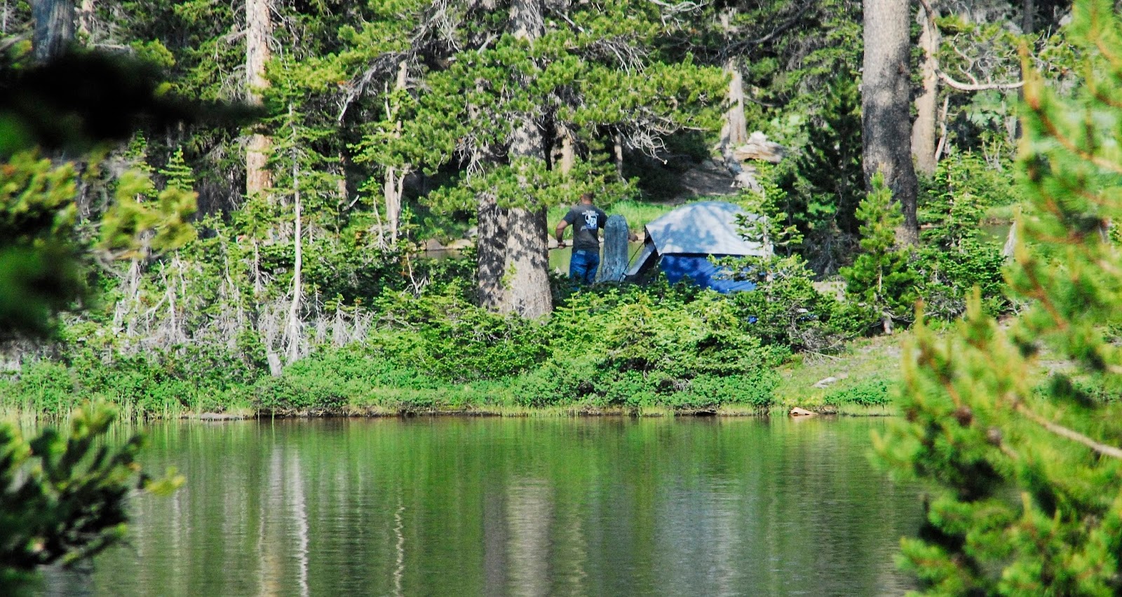
From this day on I would see no other human being until Day Six.
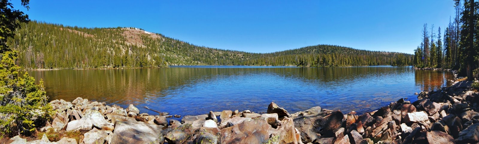
The morning awoke with a warm sun and totally clear skies. I piled everything outside to dry and to be organized, got water down at Betsy Lake, and…..
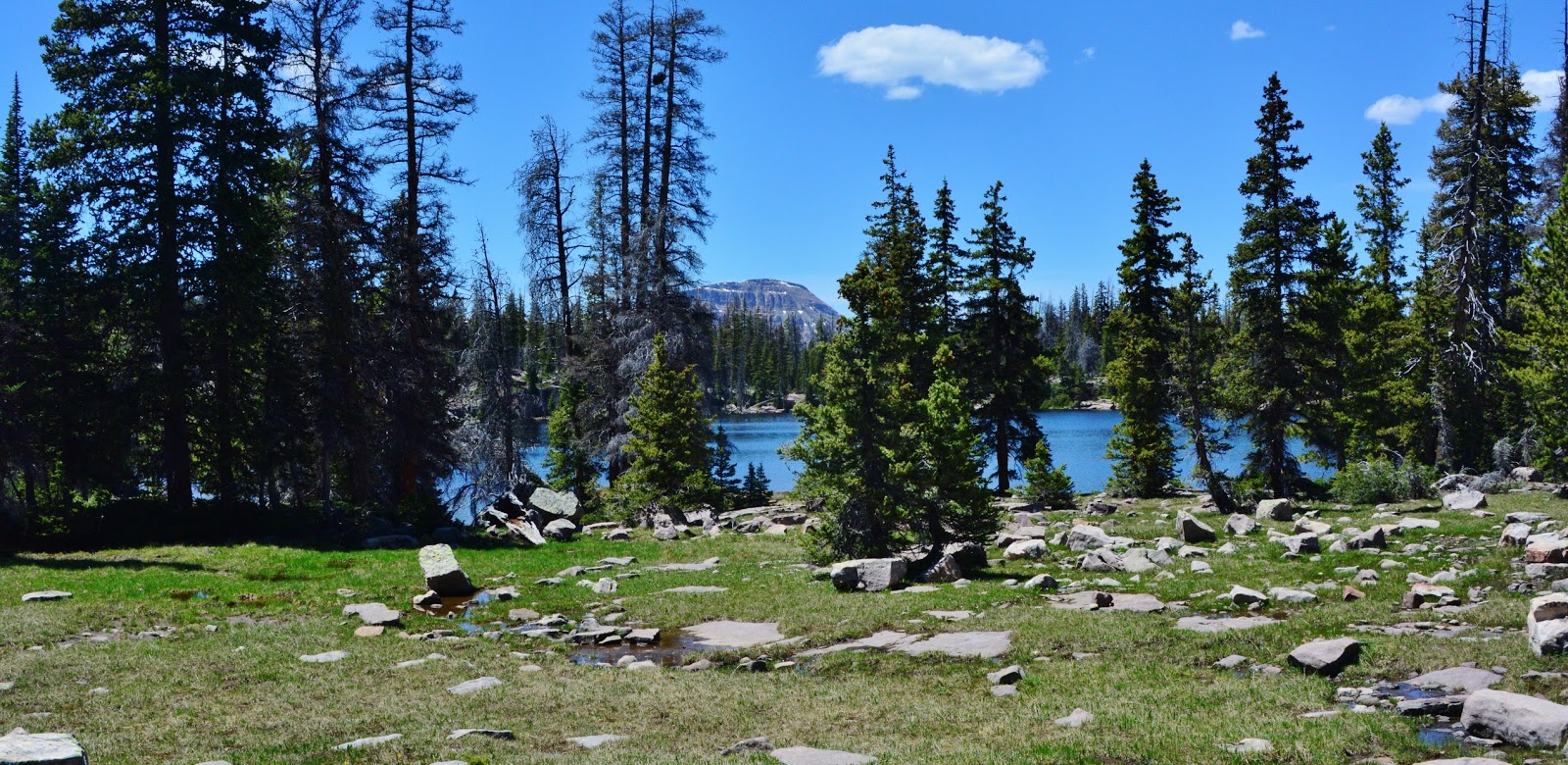
BETSY LAKE
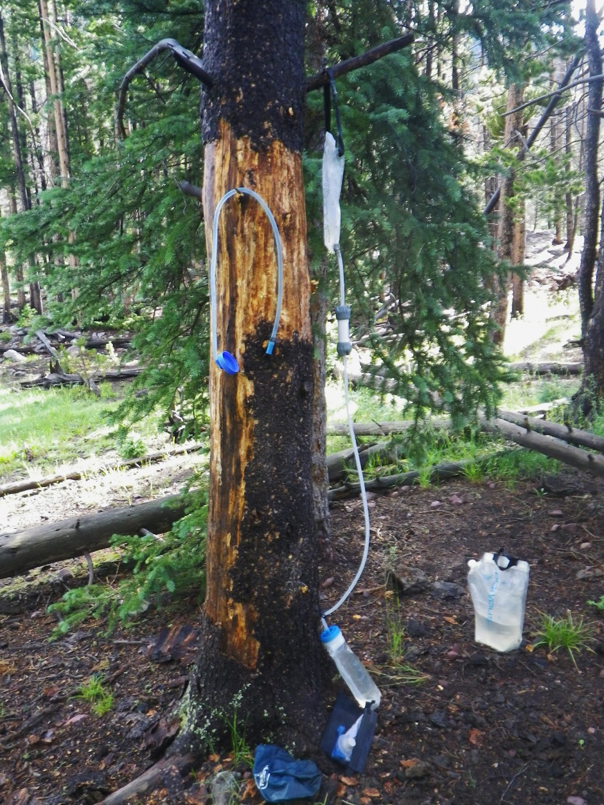
……put my Gravity Works purifier to work and soon had breakfast, packed up and was on my way.
This Gravity Works Water Purification system is one of the great developments in recent years for us backpackers!
No more pumping or squeezing, just put it doing the work, and go about preparing your camp, fixing dinner, photographing the local flora and fauna, or just relax and recover.
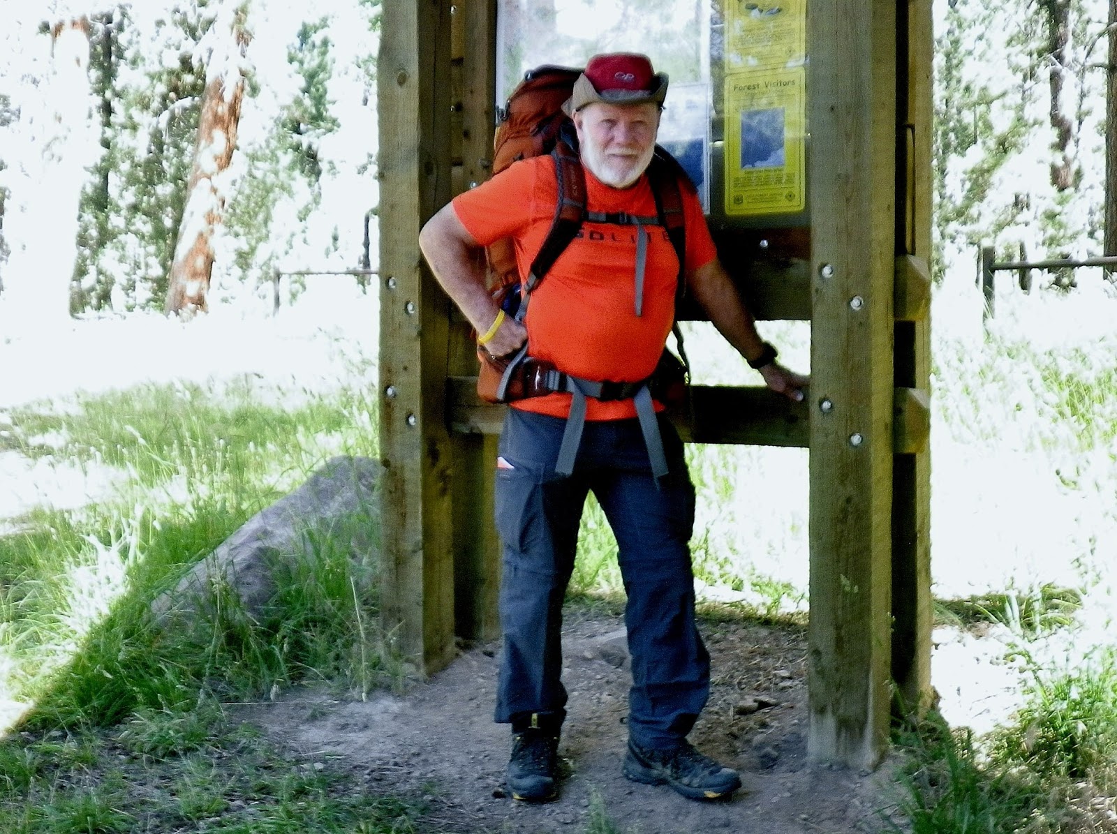
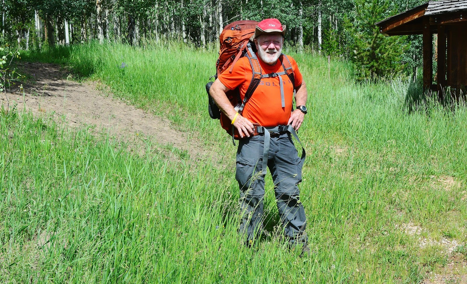
The best new development for 2015 is the OSPREY 65 Atmos Anti-Gravity backpack I’m using for the first time–with like a 40 lb. load just in the pack that I didn’t even feel–no pressure points and total ventilation and comfort!For details on these two enormous improvements, or others at 2015 GEAR/SUPPLEMENTS

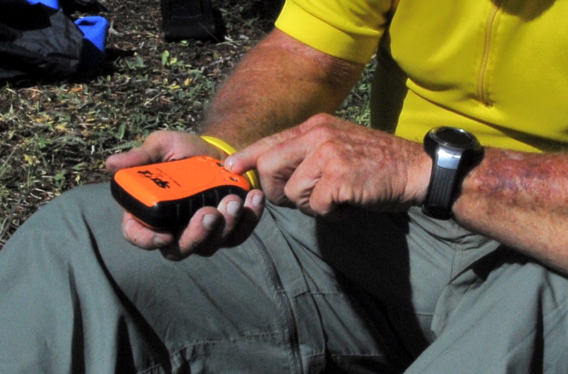
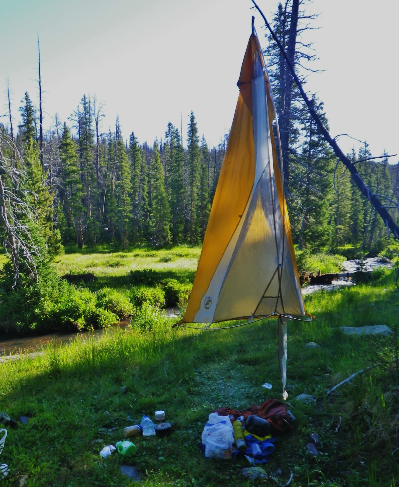
My new LowPro photo waist pack held my photo equipment, my tiny radio, SPOT Tracker, Satellite phone, Colt .45 Defender, etc. To cut down weight I left in my trailer my 2 lb. special wide-angle lens, flash unit, teleconverter, and tripod, plus wadding slippers–eliminating like 6 pounds.
For future trips I will likely leave the waist pack, my professional photo equipment and my Colt .45, and go with just my Pentax waterproof point and shoot camera as I just have to get the weight down at least 15-20 lbs. and have on my back a comfortable and easy to carry 25-30 lbs. rather than 45-50 lbs. To also loose my pot belly fat I’ll feel like an angel floating easily around the Uintas!
WHAT A WIMP…COMPARED TO ME IN 2003 WITH 83 LBS. OF LOAD FOR MY “EXPEDITION,” BUT FROM A THEN 67 TO NOW IN MY 80th YEAR MAKES A BIG DIFFERENCE….FOR SOME STRANGE REASON!
THE SECOND DAY….the “most difficult” as my body was sore and stiff from the first hard day on the trail, but I couldn’t take time off to rest and recover, but had to keep moving!

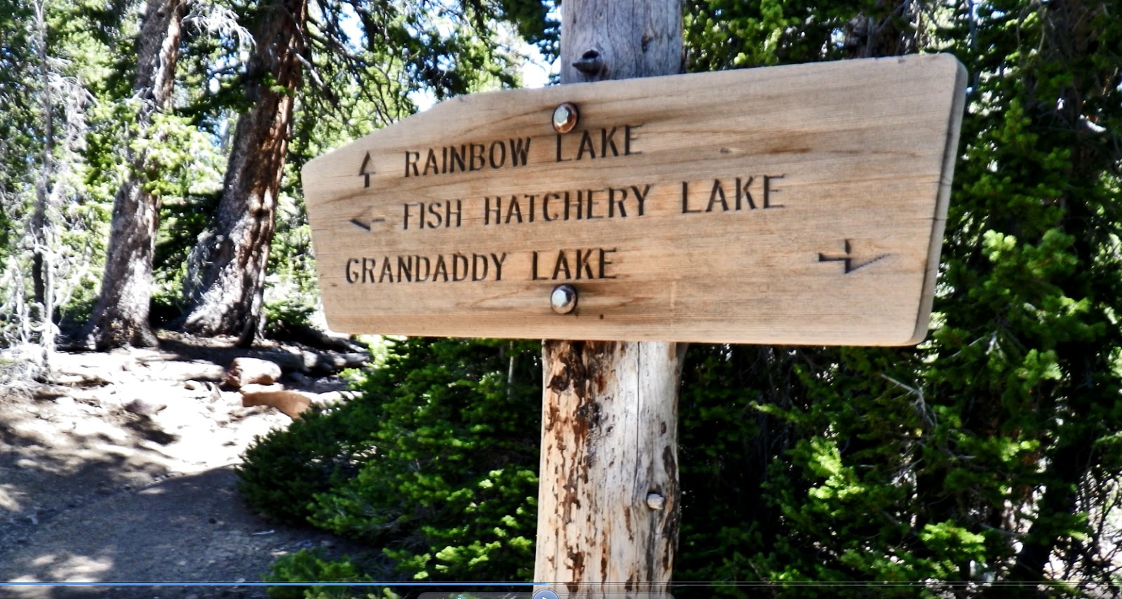
At the junction, about half-way along the shores of Betsy Lake, we take a right and head down northeast on the trail to Rainbow Lake…..a trail system that crosses the Grandaddy Basin, to the Four Lakes Basin, and connects to the famous Highline Trail that will take one across the whole Wilderness Area.
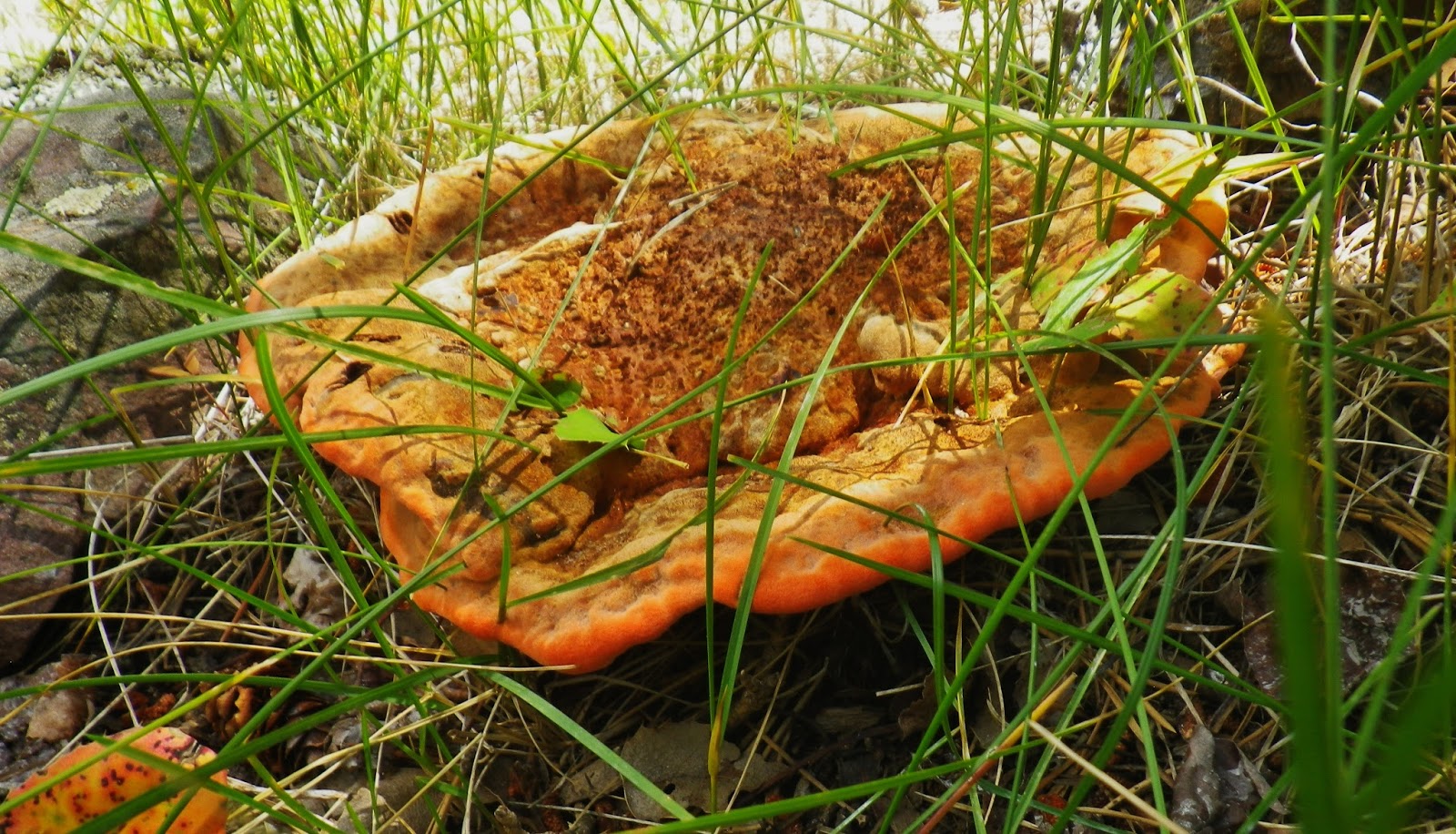
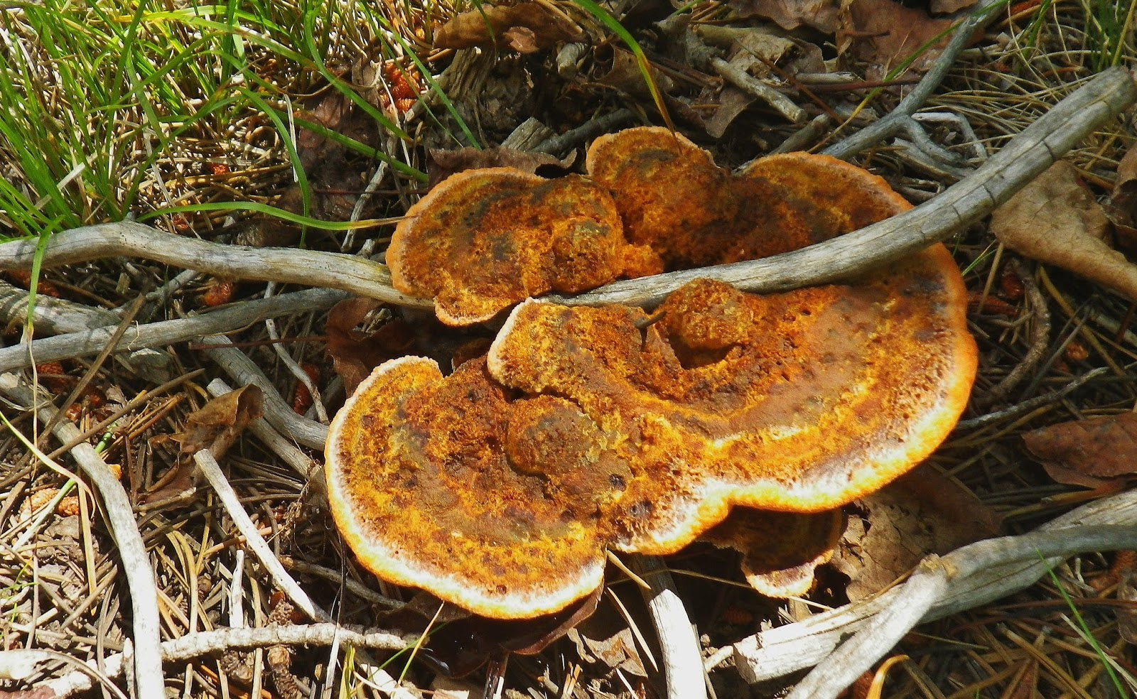
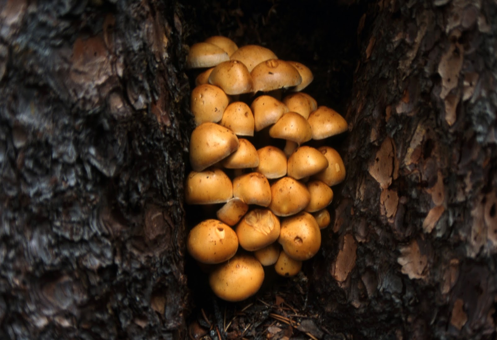
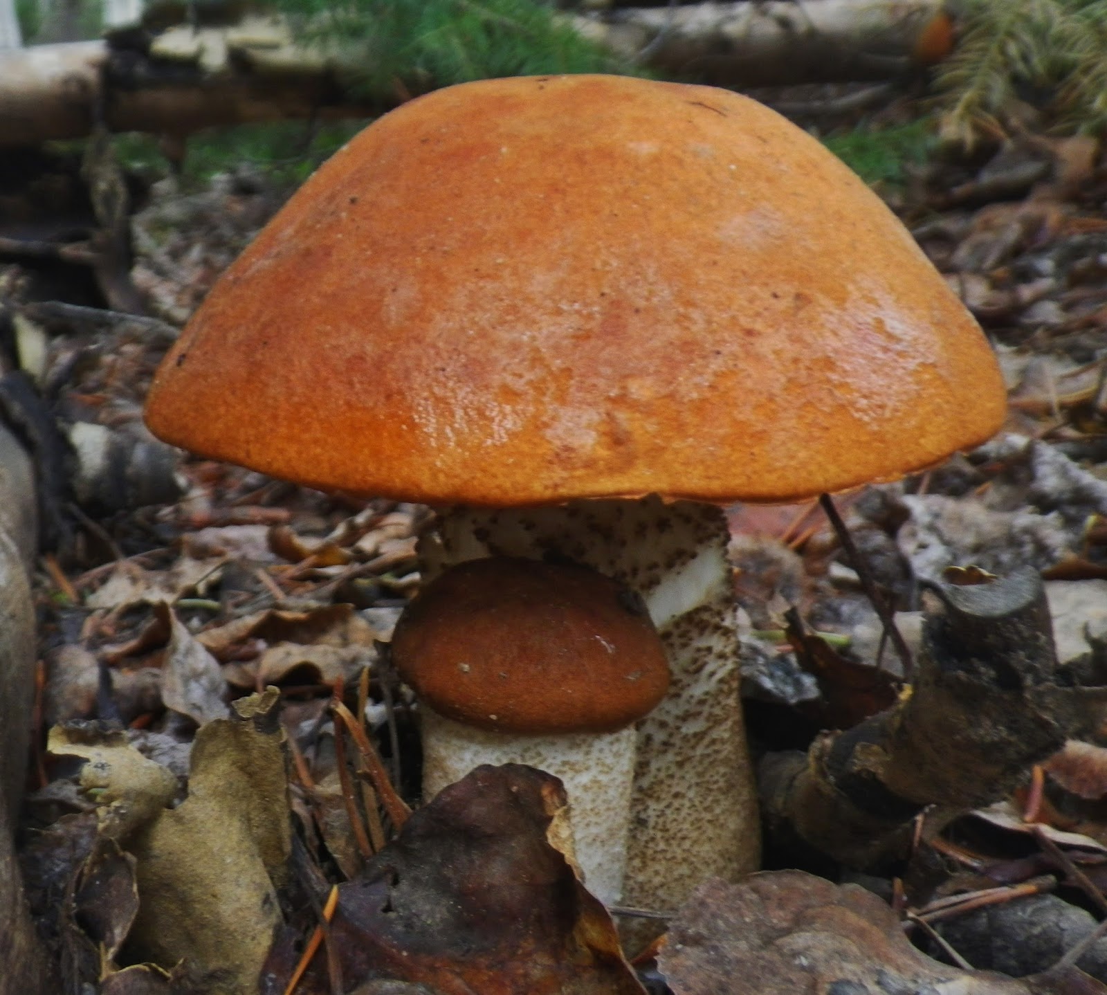
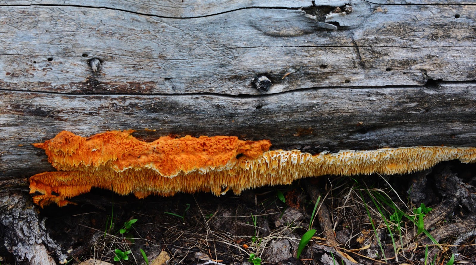
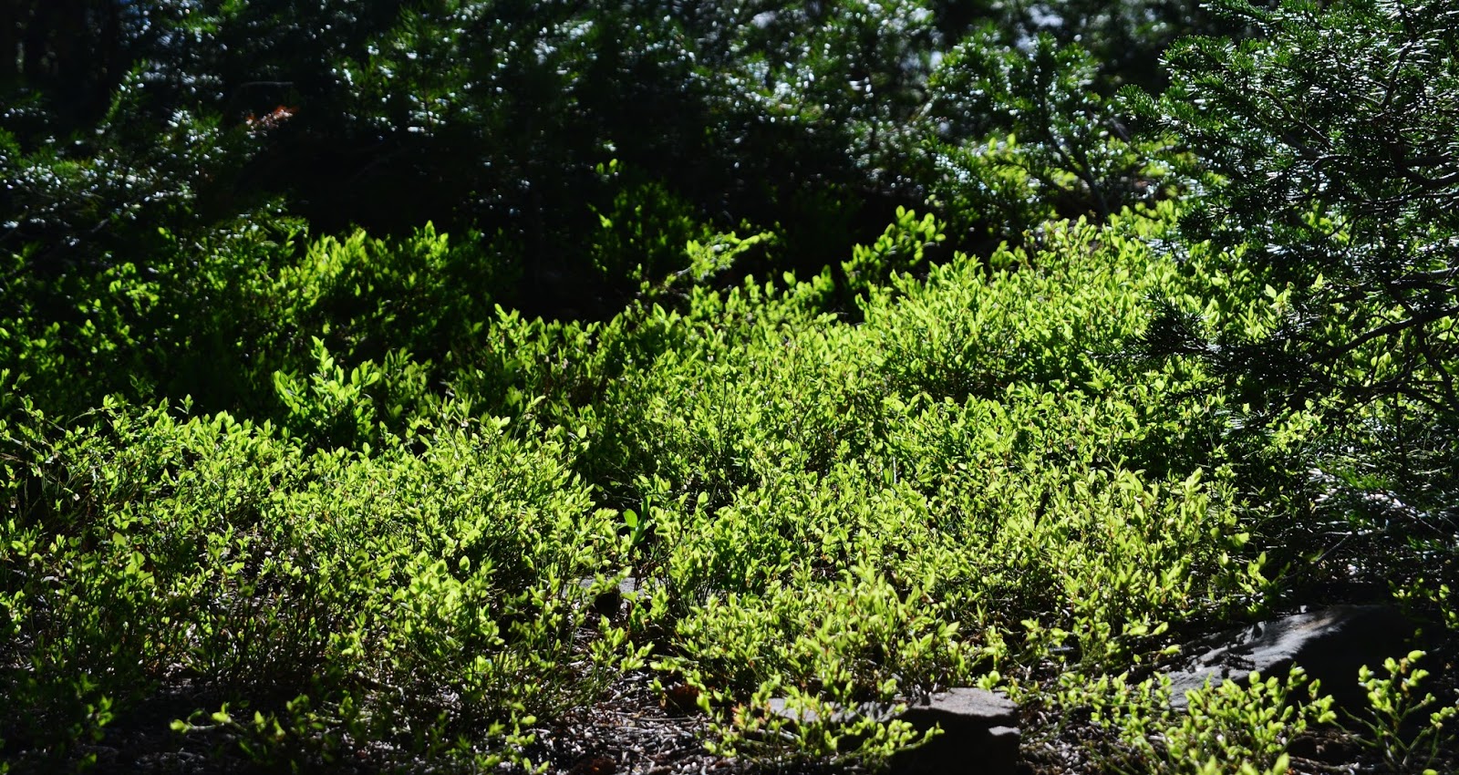
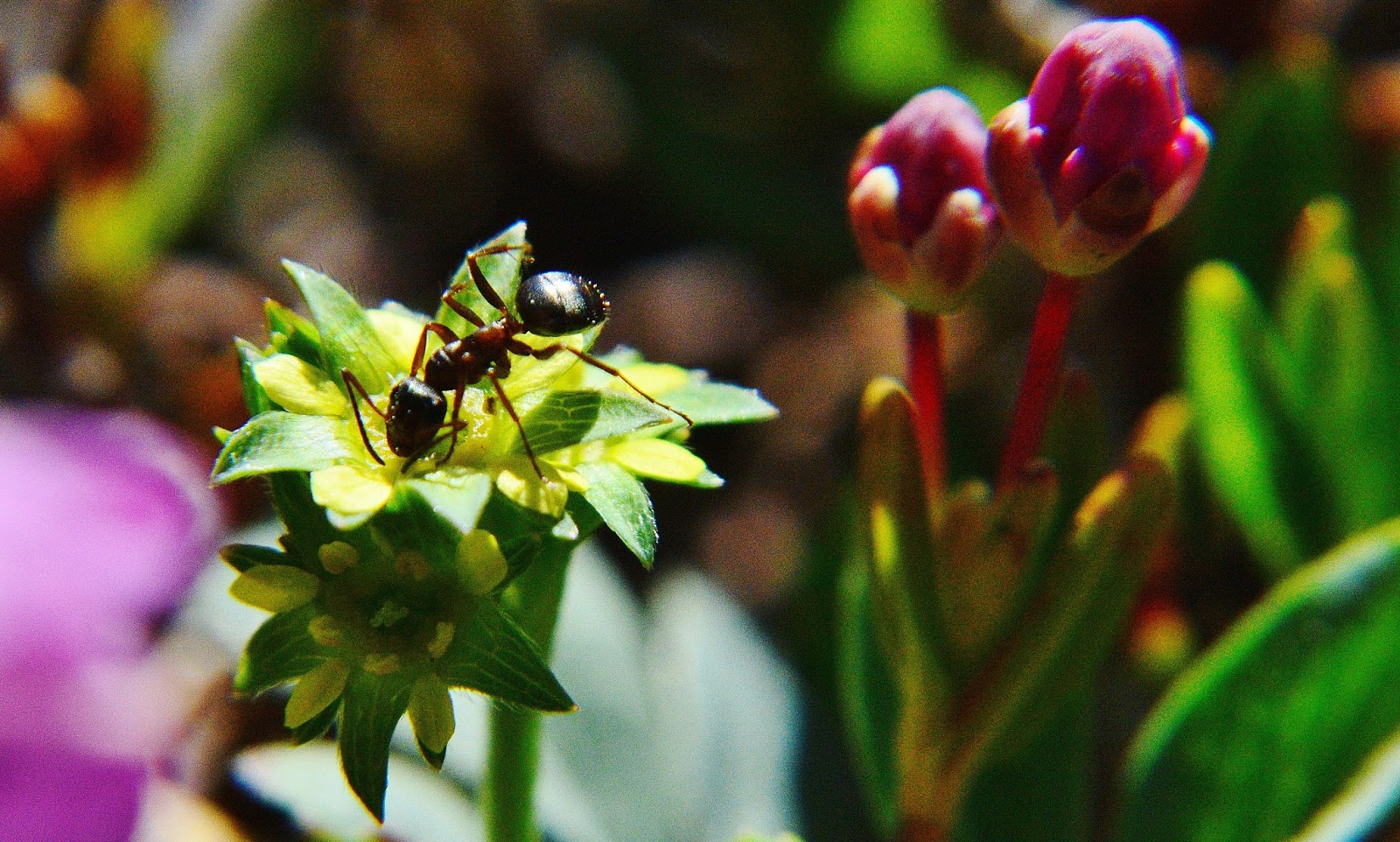
Hundreds of varieties of mushrooms are coming alive, along with the lichens, wildflowers and more.
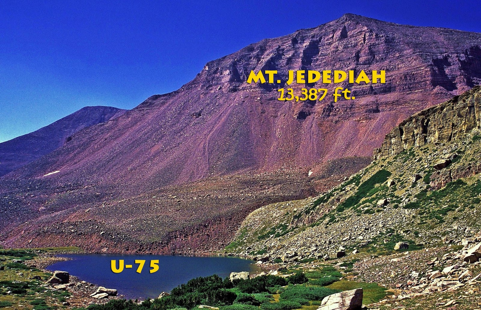
Soon after you begin dropping down, you will notice that on the right you are close to an escarpment where you can get a great view to the southeast–East Grandaddy Mt. on the right.
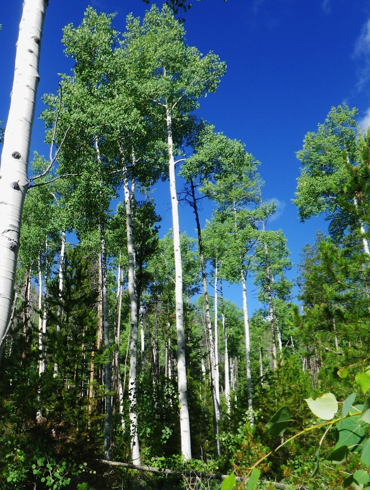
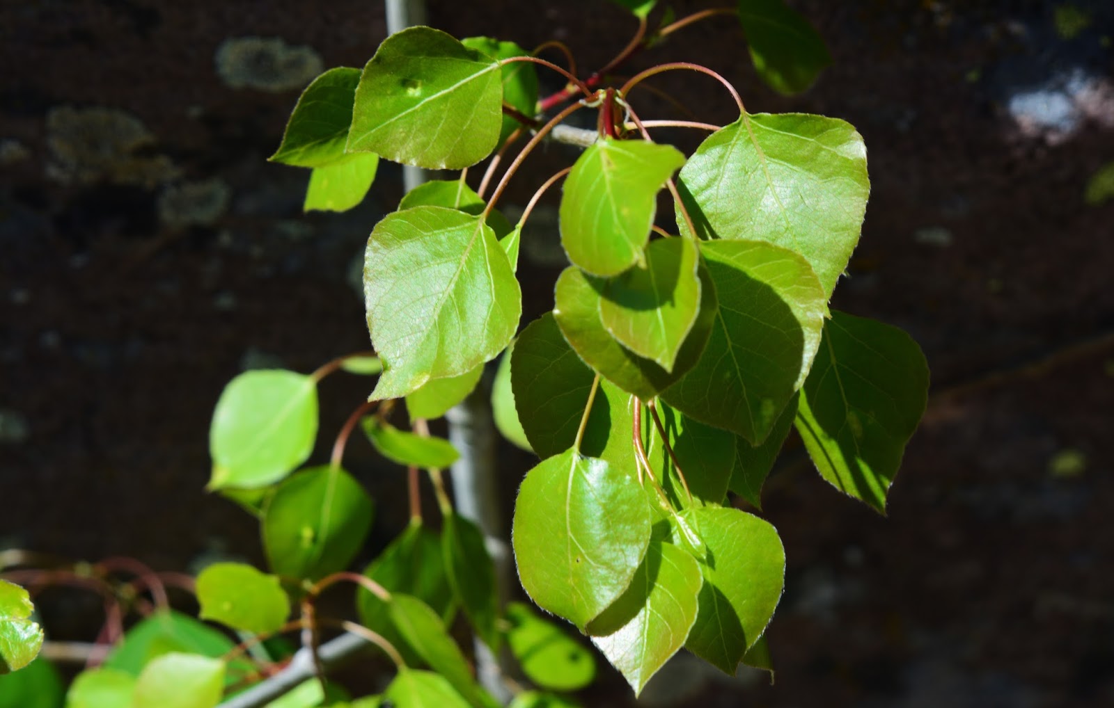
We notice the Quaking aspens–THE QUEEN OF UTAH’S TREES, sprouting their delicate leaves.
And, what will these little sprouting buds become?
Have you heard of a flower called STONE CROP?
This beautiful leafed bush will eventually produce bear food….wild raspberries.
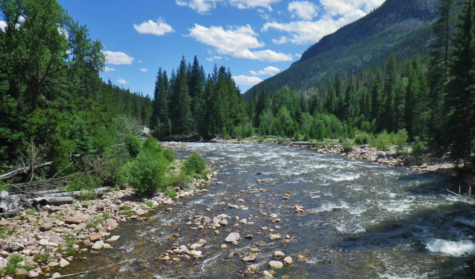
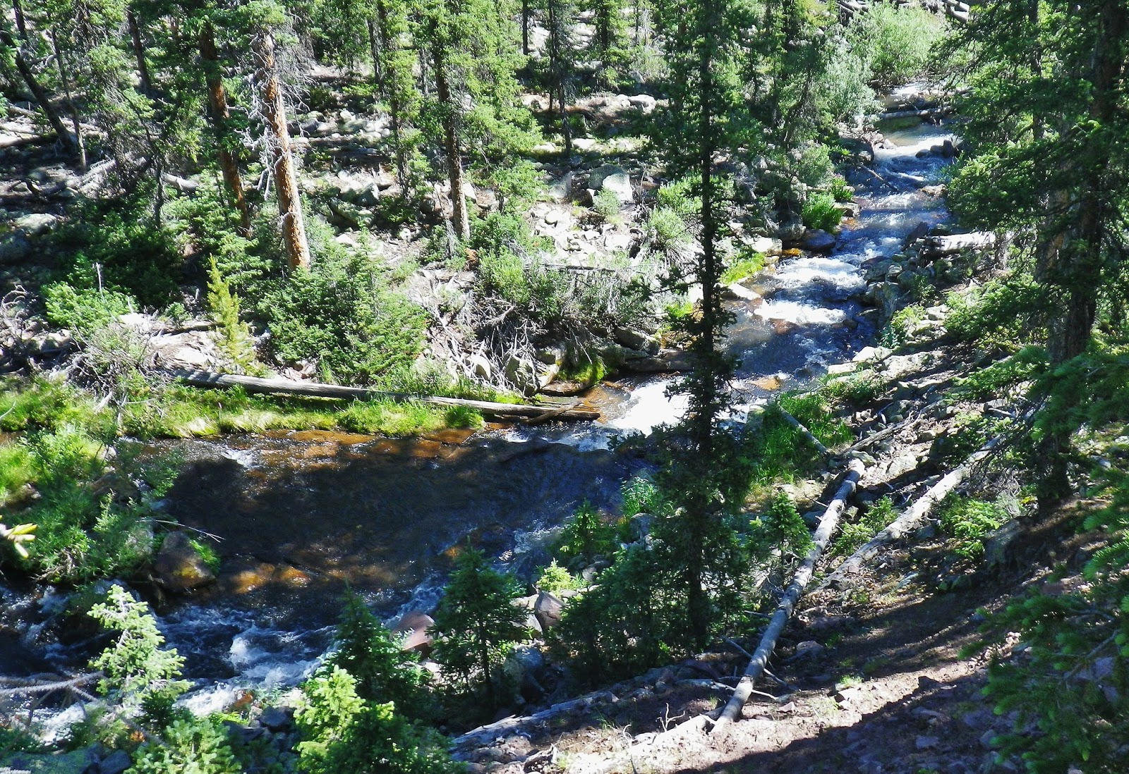
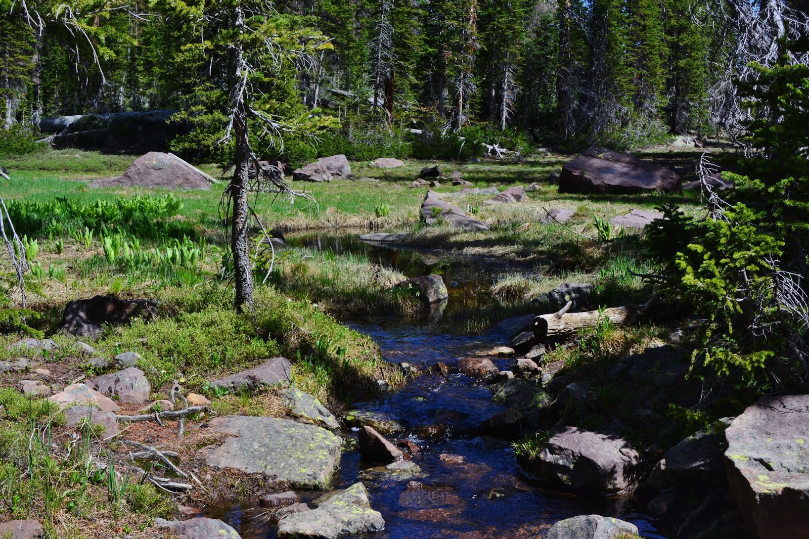
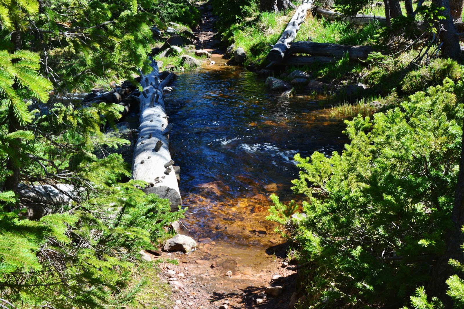
After coming way down we soon cross a stream that joins other creeks and becomes the West Fork of Rock Creek.
Once down we come to another junction, this time the trail that goes to Palisades Lake, and from there continues on up to the Pine Island Lake area.
We continue on towards Rainbow Lake, but will soon come to Lost Lake.
There is a broad meadow area to the left called Brinton Meadows.
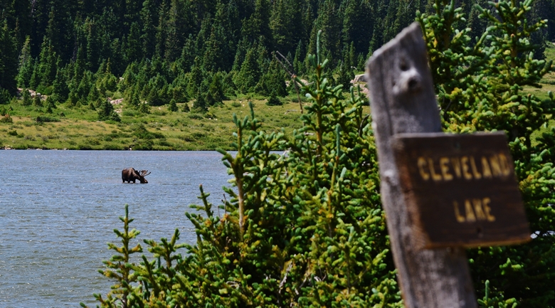
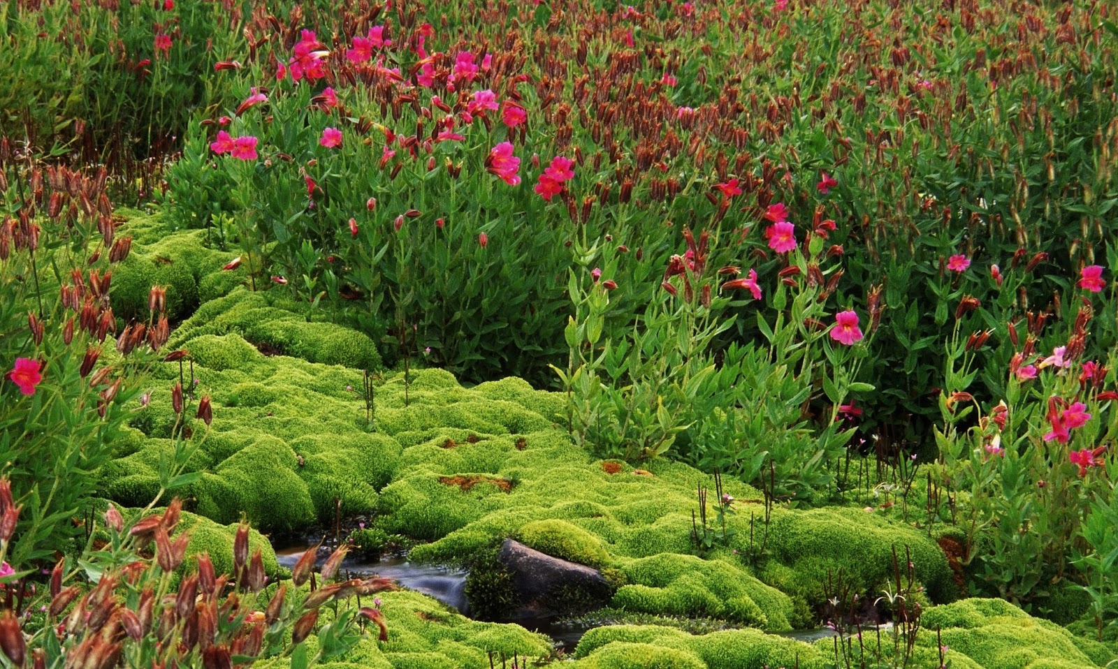
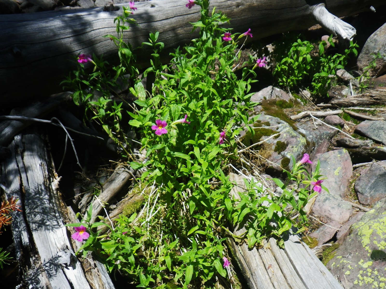
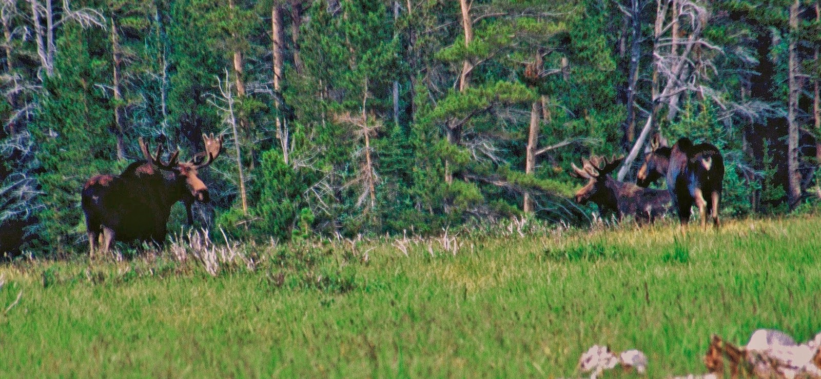
In such marshy areas are found many varieties of wildflowers, such as the White Globe Flower seen below……and an occasional moose!
……and always the Marsh Marigold, one of the first flowers to blossom.
We soon come to another bridge crossing the creek that drains out of Brinton Meadows, and becomes the West Fork of Rock Creek.
Throughout the entire backpack, there were always deer and elk tracks–elk tracks you see above. It now seems as though there are more elk than deer, and once in a while moose tracks also.
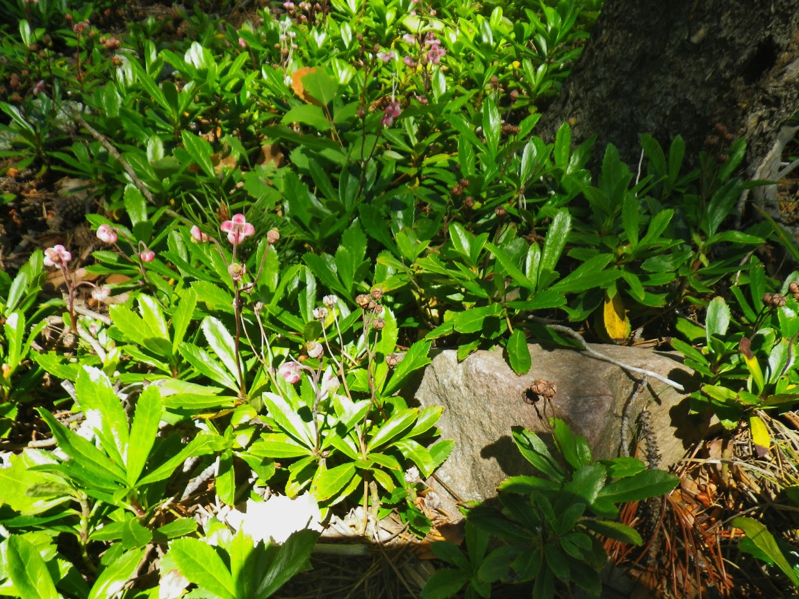
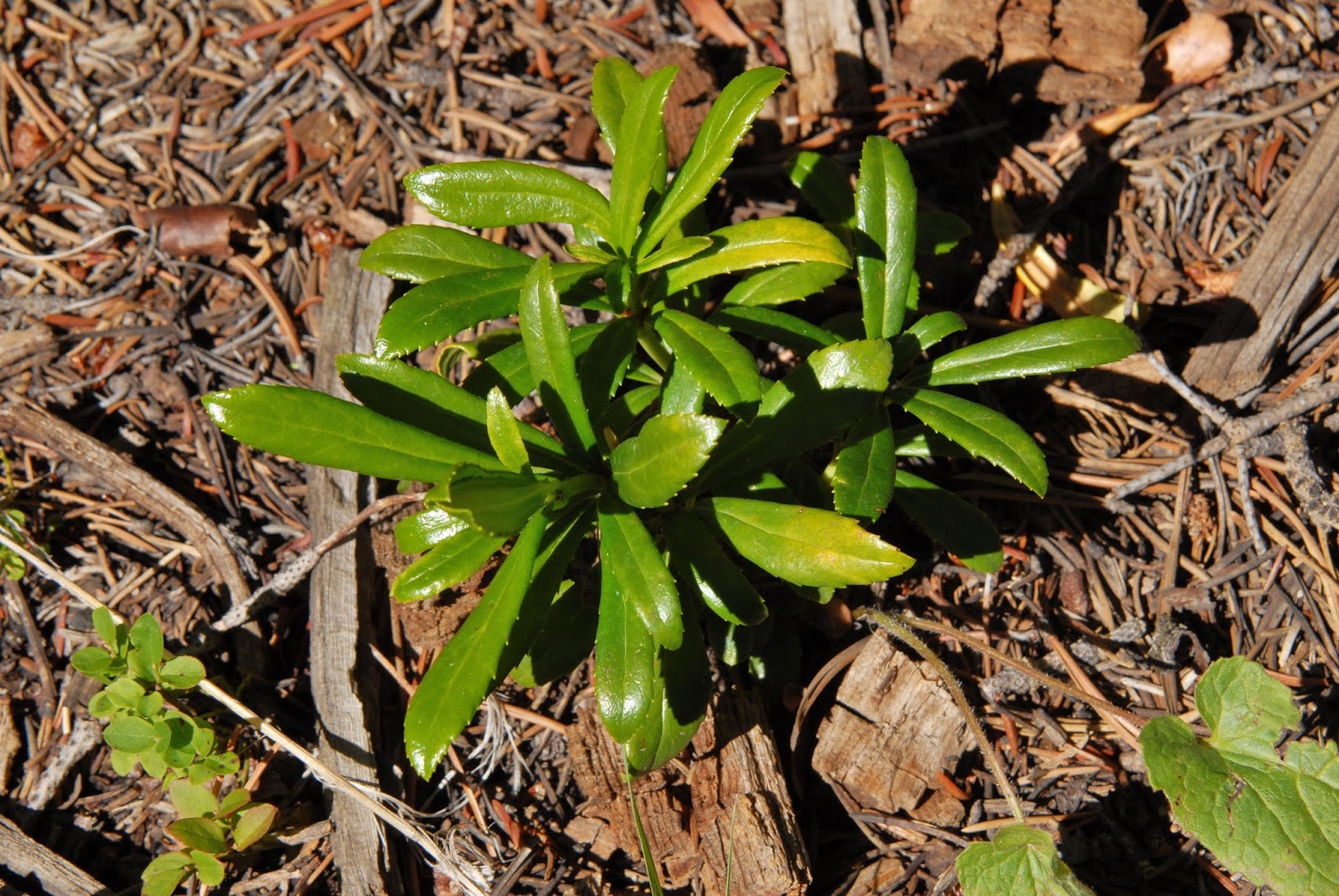
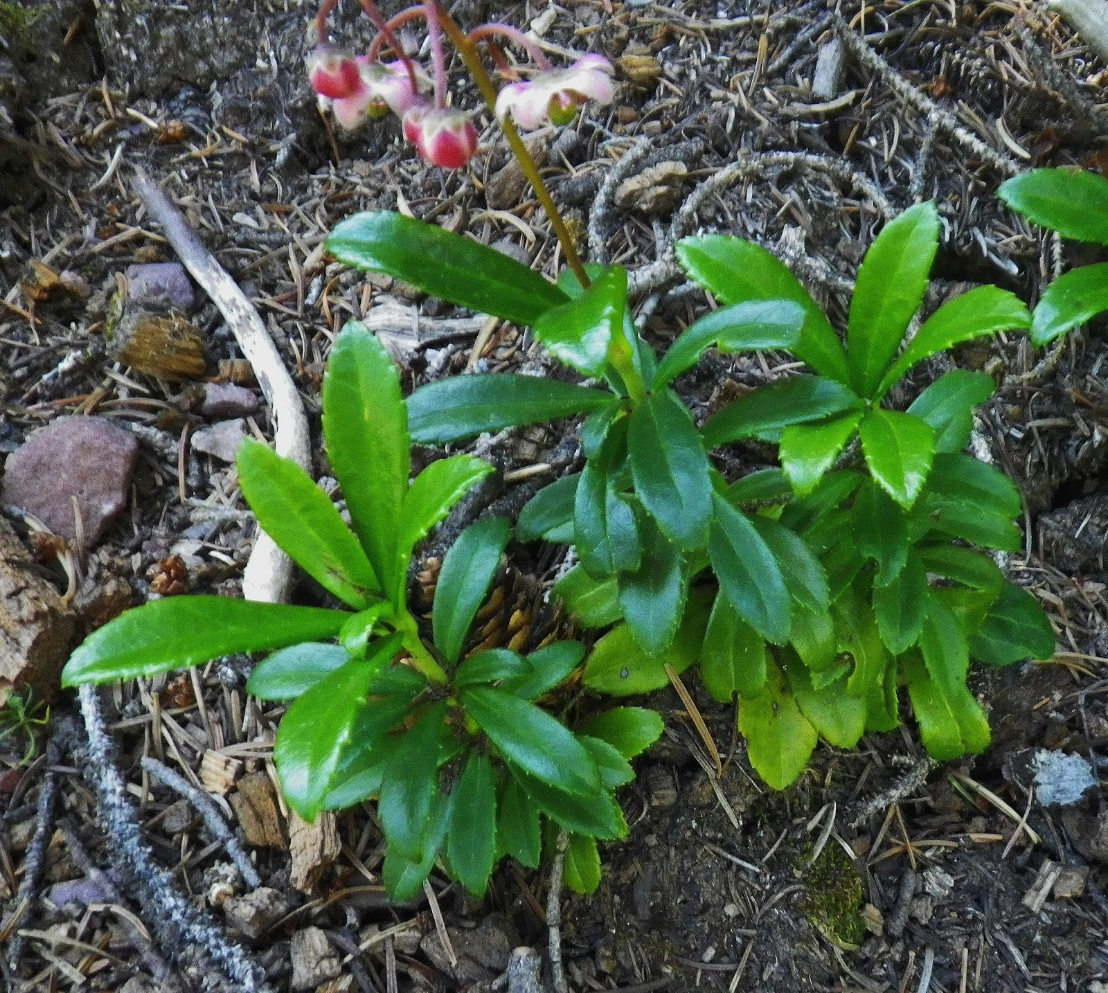
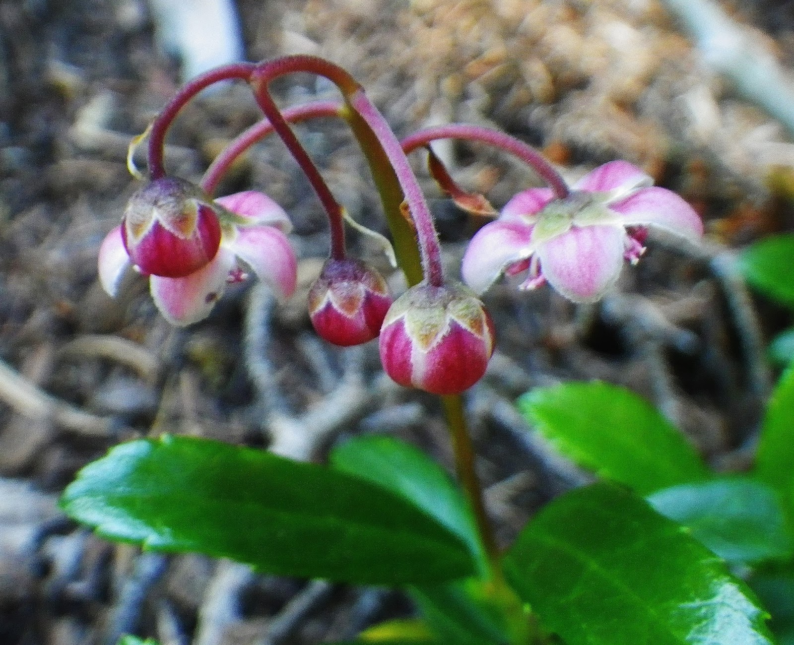
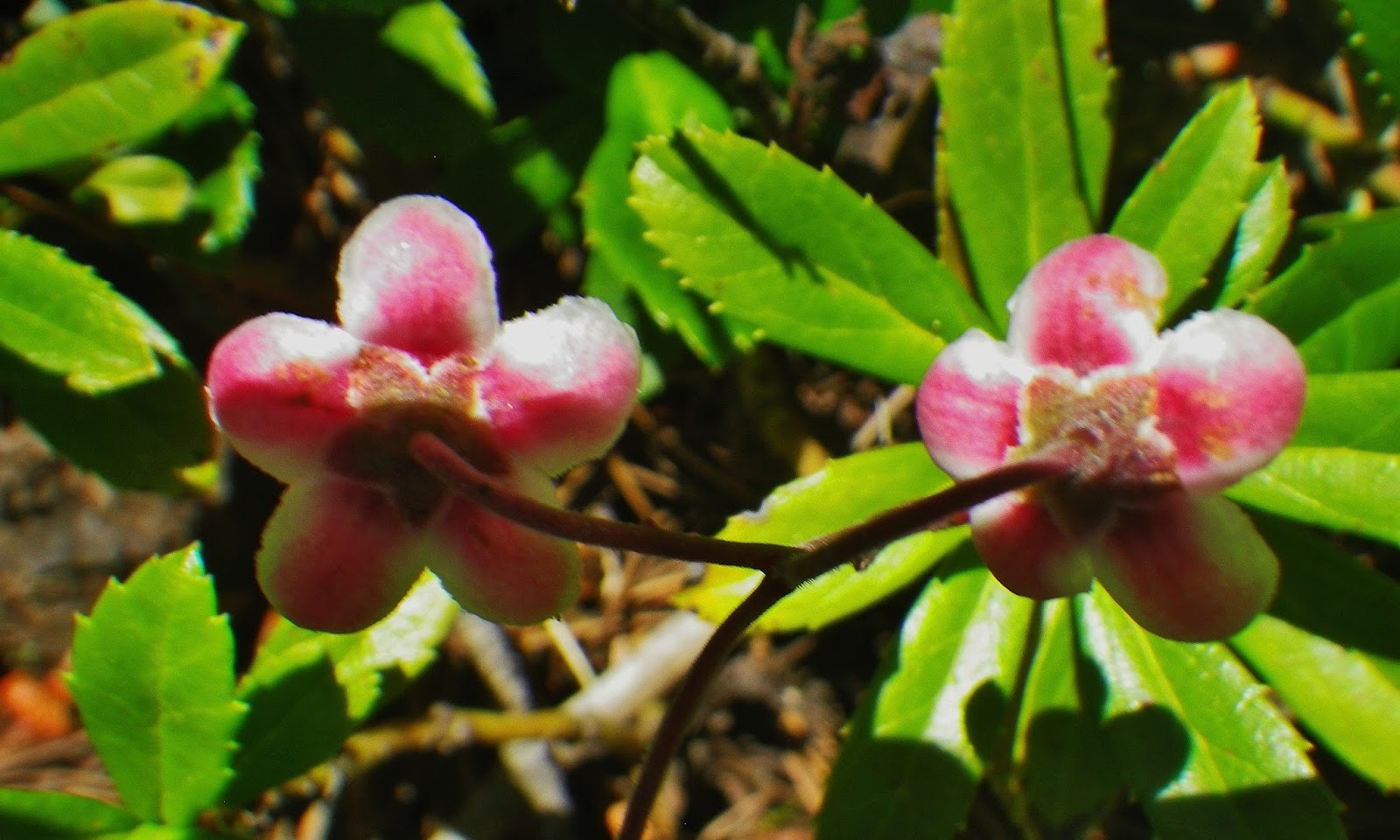
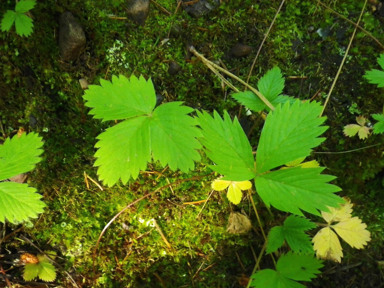
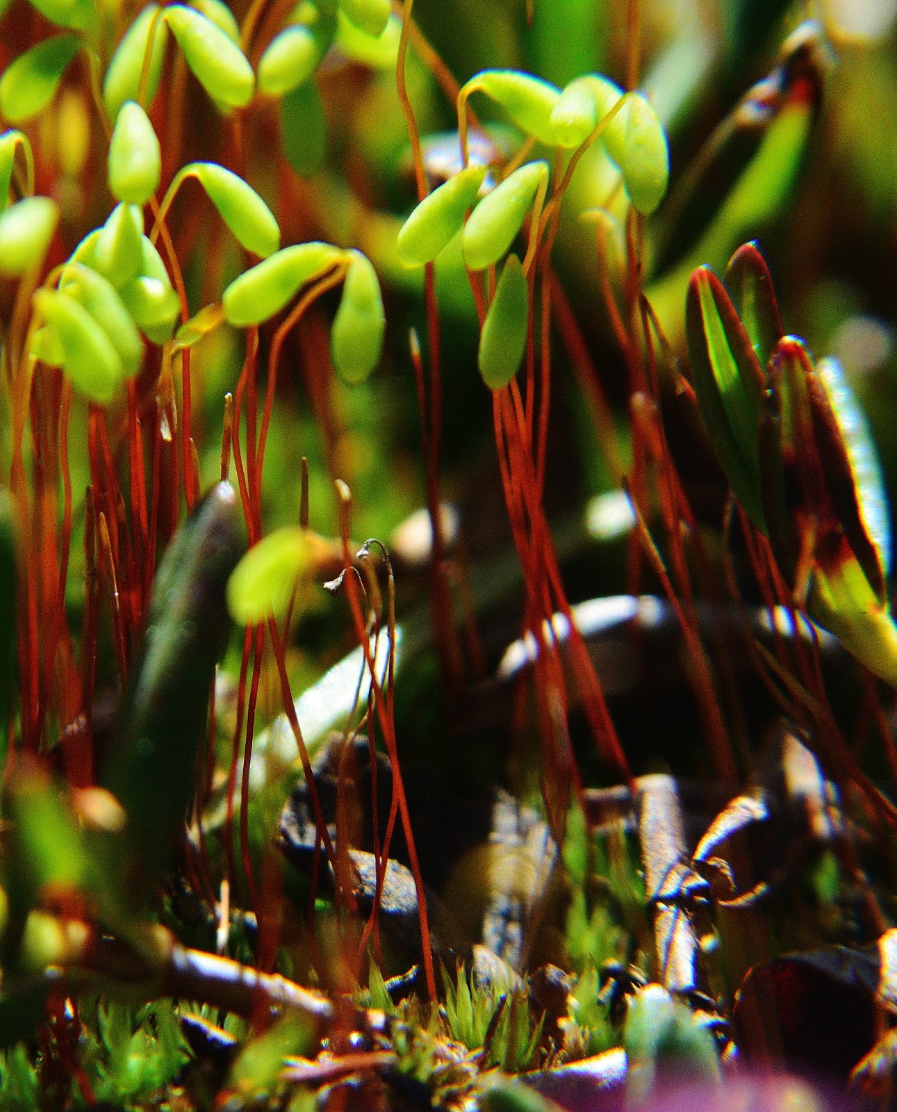
Then there’s the underbrush, or ground cover we see in the Uintas. I hope to have it identified soon, but this early in the season, tiny flowers, that most hikers never notice, develop about 1/8th of an inch in diameter. After a lot of searching I so far pin it down to the HEATH FAMILY, with about 125 genera and 3,500 species, the one that comes closest is Kinnikinnick or Bearberry.
NOTE: I’ll be pleased to be corrected on this….so don’t hesitate to email me at: cordellandersen@hotmail.com
We are seeing them here better than I have ever seen before.
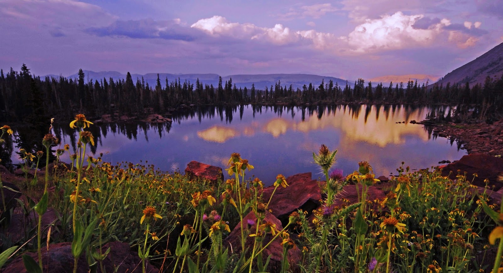
Enjoy this rare and almost divine VISION OF NATURE………that you have never seen before like this!
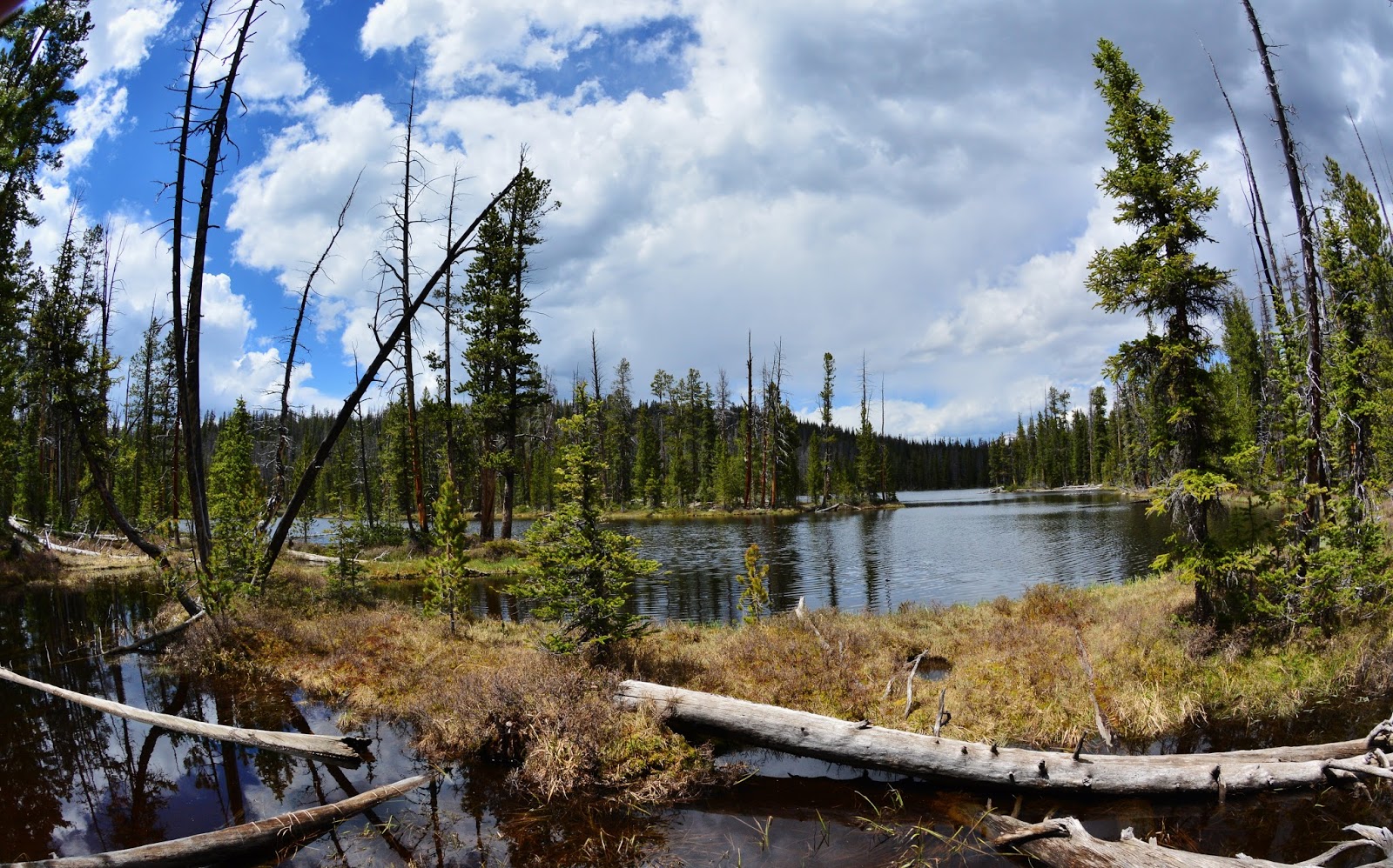
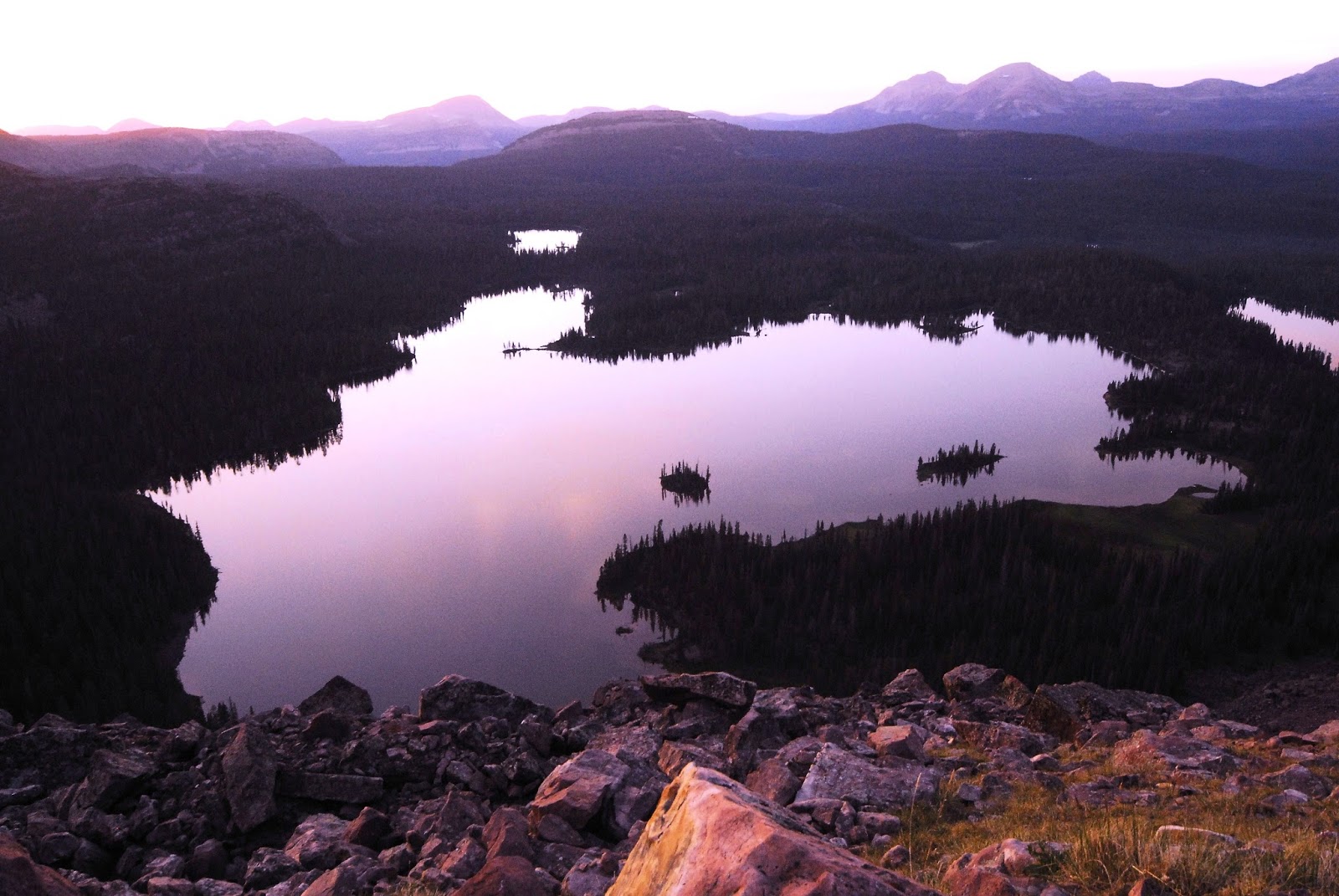
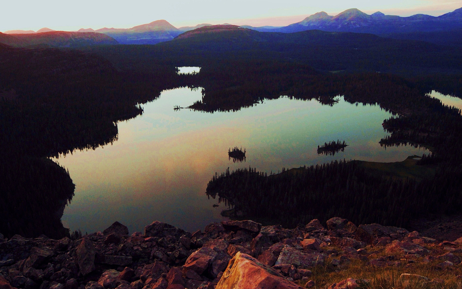
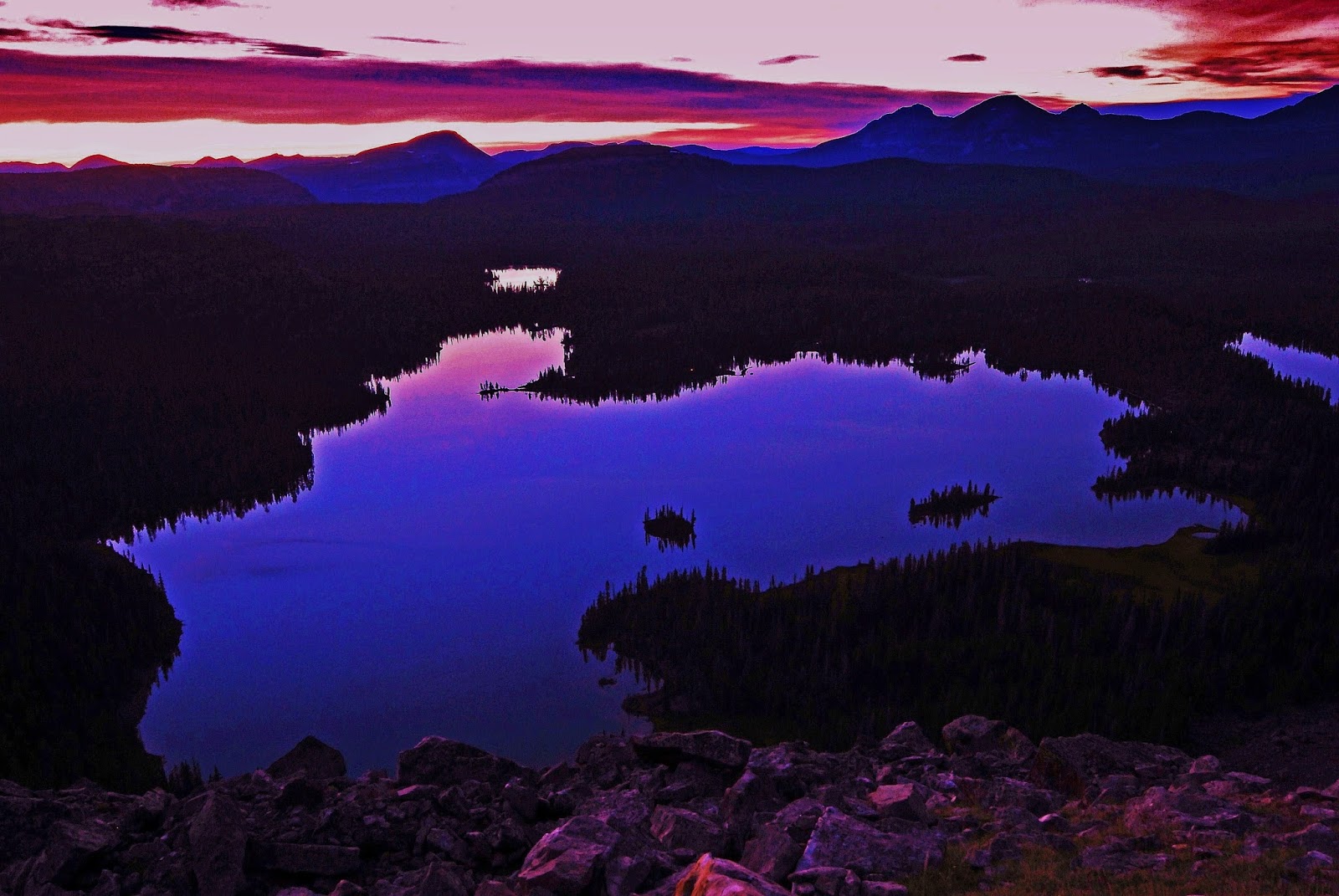
Soon we come to LOST LAKE and move along its edge carefully to not miss the trail that takes off to POWELL LAKE, the spot seen below..
There is no sign, nor trail marker. It is a bit over 1/2 mile to the Powell Lake going east. In the documentary photo/essay, and eventually YouTube video, entitled
THE GRANDADDIES,
you’ll see a photograph of Powell Lake, along with all the others in the Basin.
…….and here another VISION OF NATURE I originally called TEXTURES OF NATURE, of a little different type….but it will be turned into something beautiful.
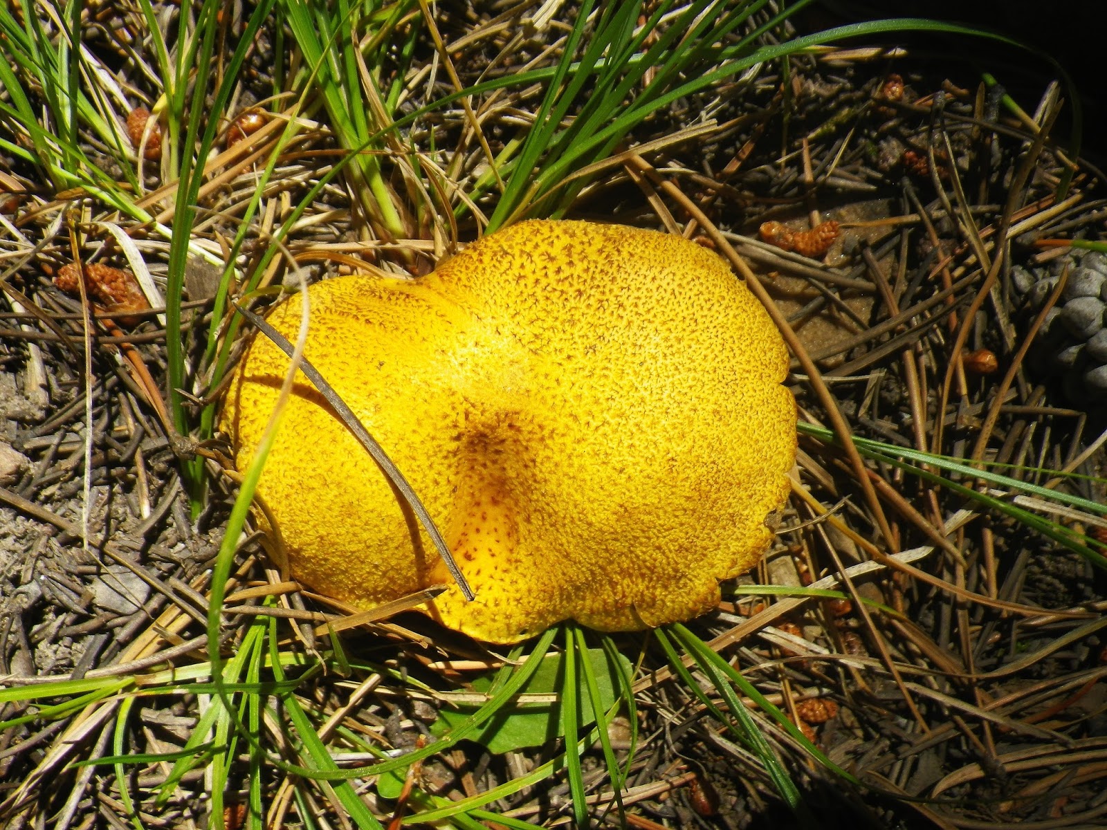
Above we see the PUFF BALL mushroom, and below another life form that is more likely in the lichen family…..but I’ll be checking it out and will insert what I learn.
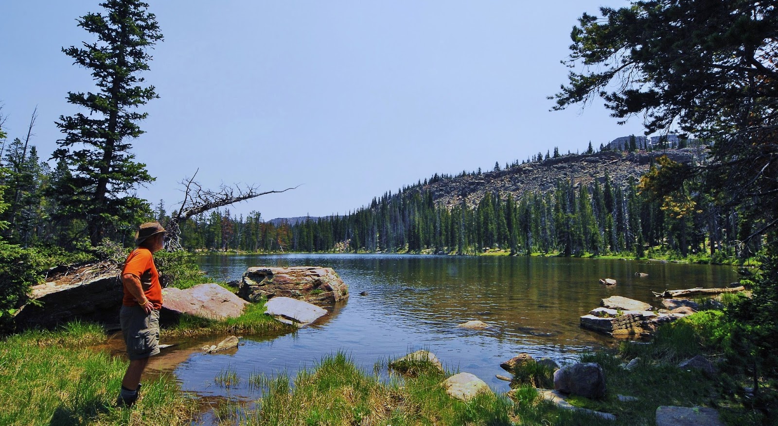
At the eastern edge of Lost Lake we get the “fisheye” view, and I set up my camp….dutifully at least 200 feet from the lake, and tried fishing, but came up with nothing. That doesn’t mean there are none, so try it yourself and let me know how it went.
I was stubborn to use spin fishing and my beloved Colorado Spoon & Thomas Cyclone, when fly fishing would have turned the trick!
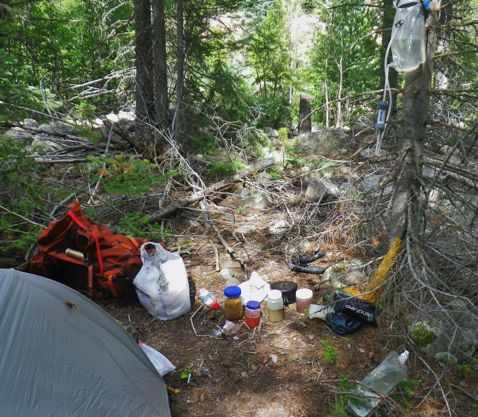
I got tired of having to camp 1/4 mile from the lakes or streams to be able to have my cooking fire, so…..
…….. finally gave in and got a tiny stove so I could be as close as 200 ft. So here I am cooking my first meal ….at Lost Lake…it was Beef Stroganoff
Soon I was chowing down while listening to the Golden State Warriors win the NBA Championship. Interestingly I found ESPN Radio 700AM on FM radio 107.1 with perfect reception!
I took with for the first time my blood pressure cuff and found under varied conditions that my pressure was always good…..so in the future this will be left home and subtract 1 lb. from my load.
DAY THREE
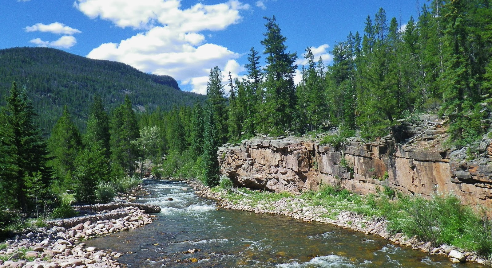
From Lost Lake the trail takes you down to around 9,820 ft. elevation at the outlet to Rainbow lake, where FISH CREEK is crossed by a nice bridge.
This creek drains a lot of the Grandaddy Basin then joins other streams and becomes the West Fork of Rock Creek, to eventually join Rock Creek just before emptying into the Upper Stillwater Reservoir.
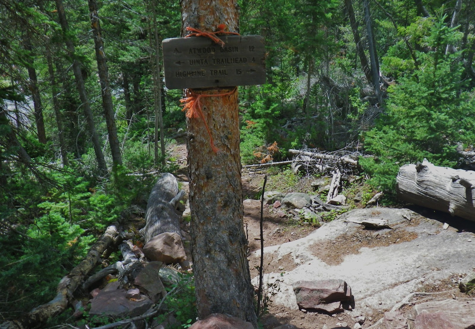
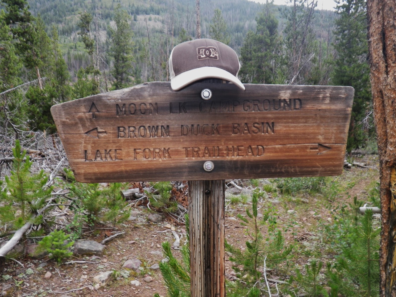
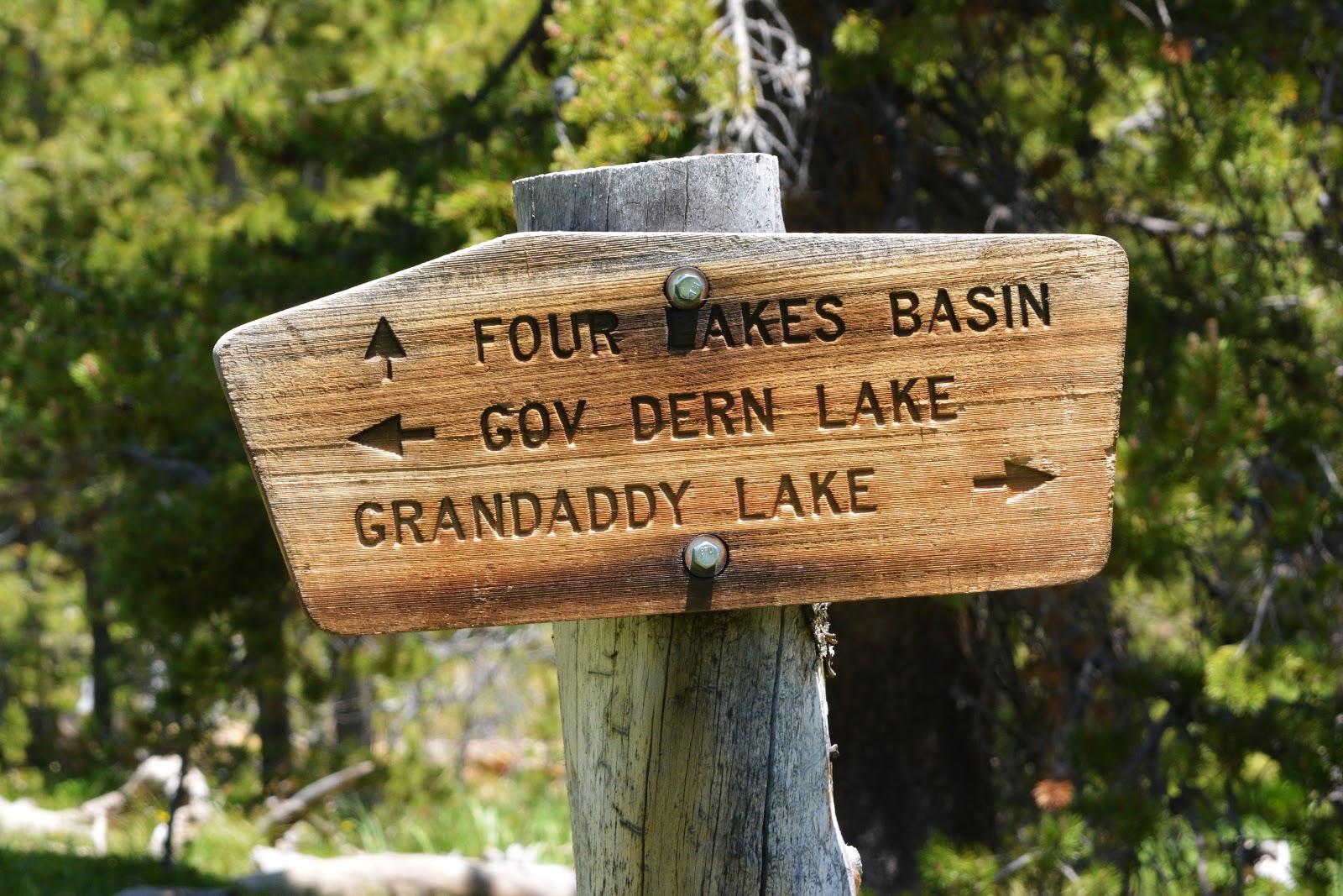
Just over the bridge you come to this important junction. We have come from Grandaddy Lake, and will be following the trail to Governor Dern Lake. The “Rock Creek” trail goes down Fish Creek to join the Rock Creek Trail above the Stillwater Reservoir.
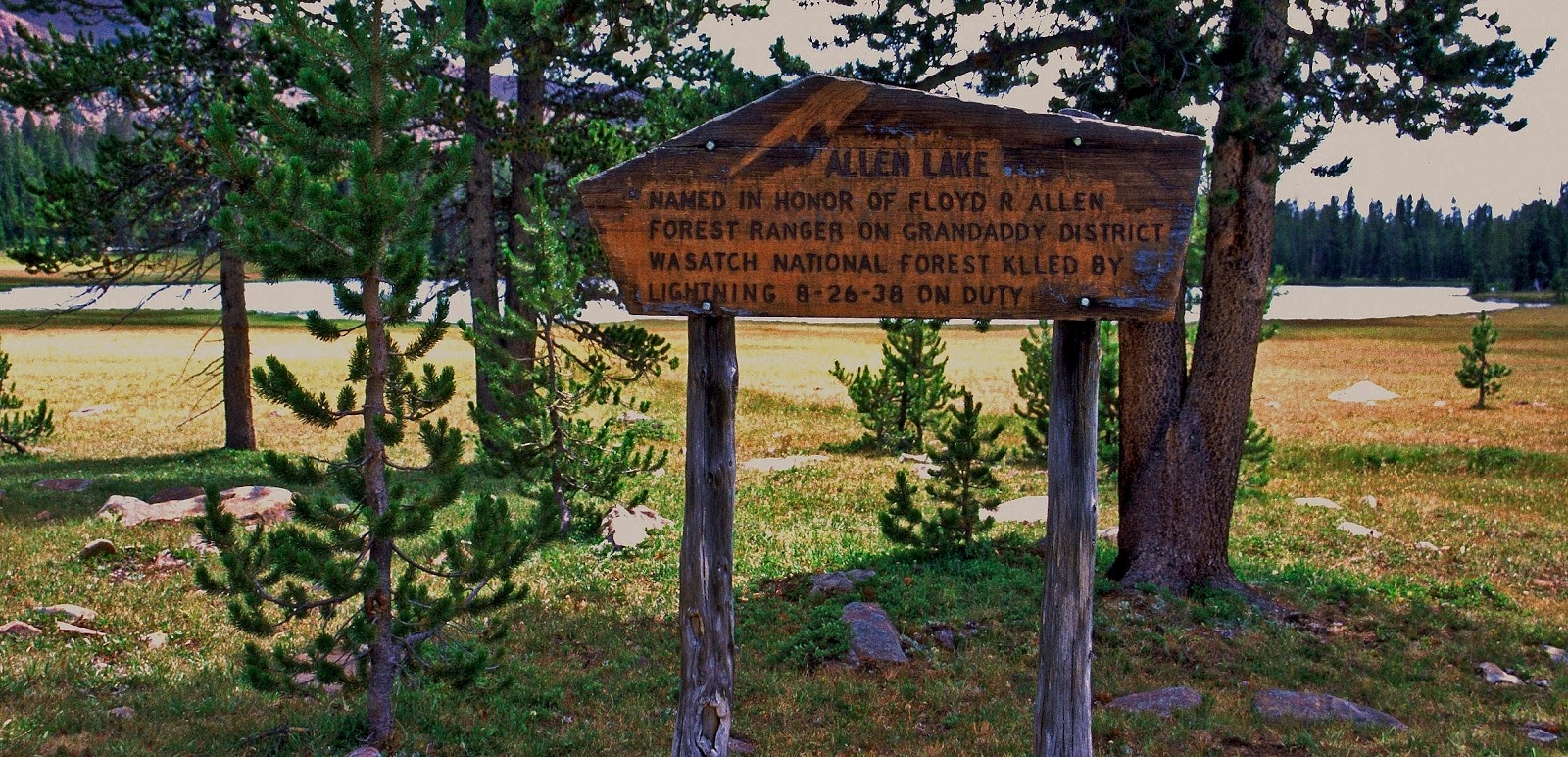
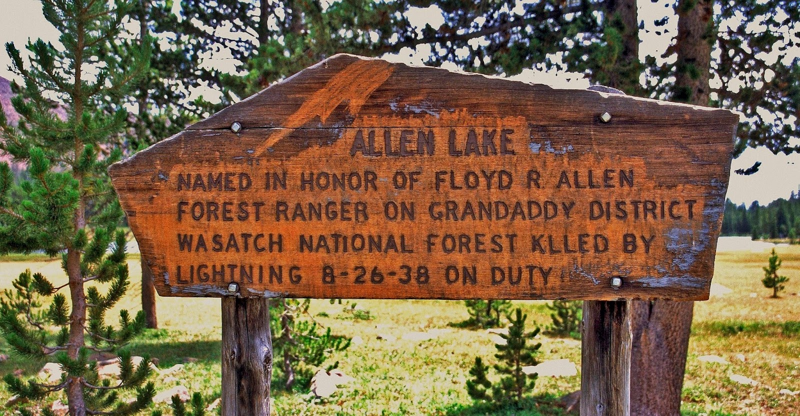
A little further along the Governor Dern Lake trail, you come to a junction where a trail takes off to Bedground Lake (which I’ll include as part of the Grandaddy Basin, along with Allen Lake), and continues to the Four Lakes Basin, to Cyclone Pass on the East, and on the northwest joins the Highline Trail.
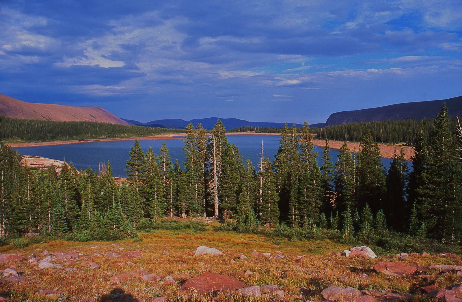
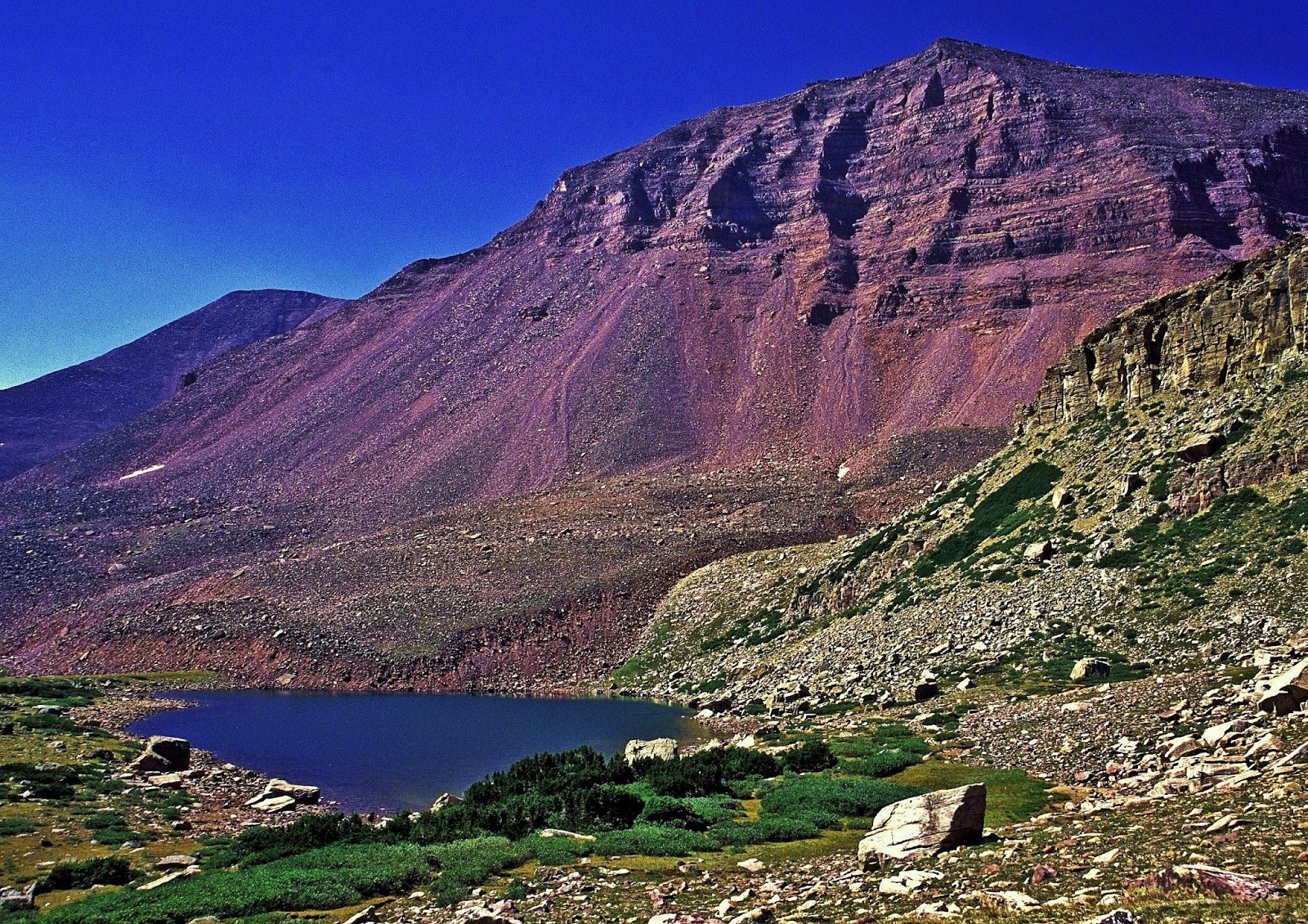
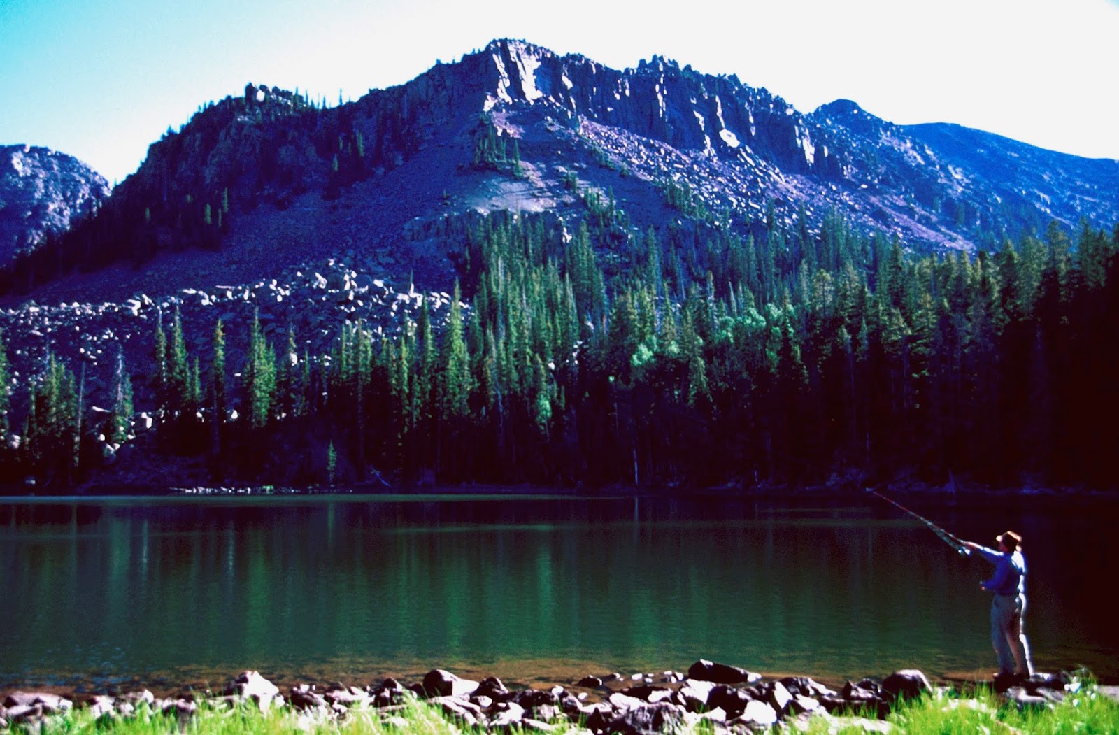
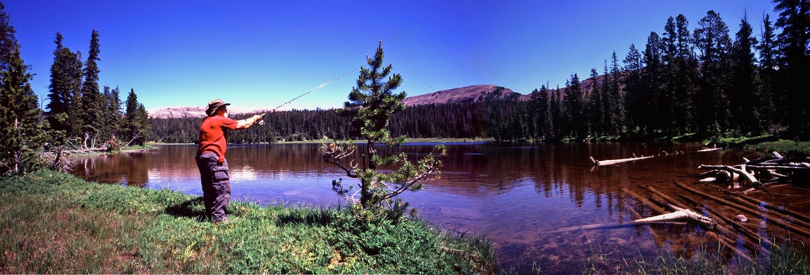
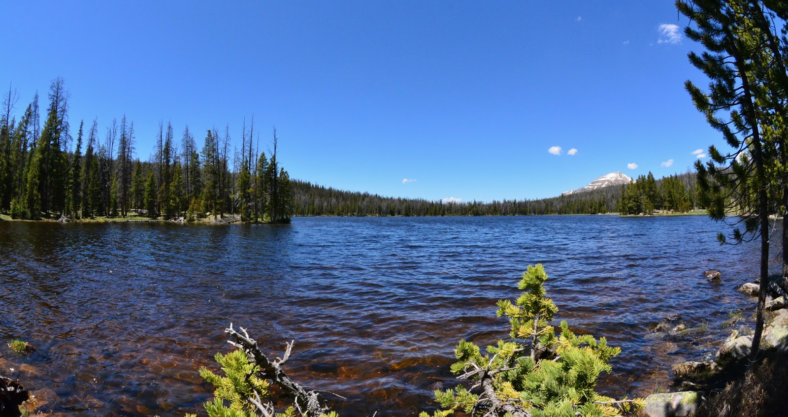
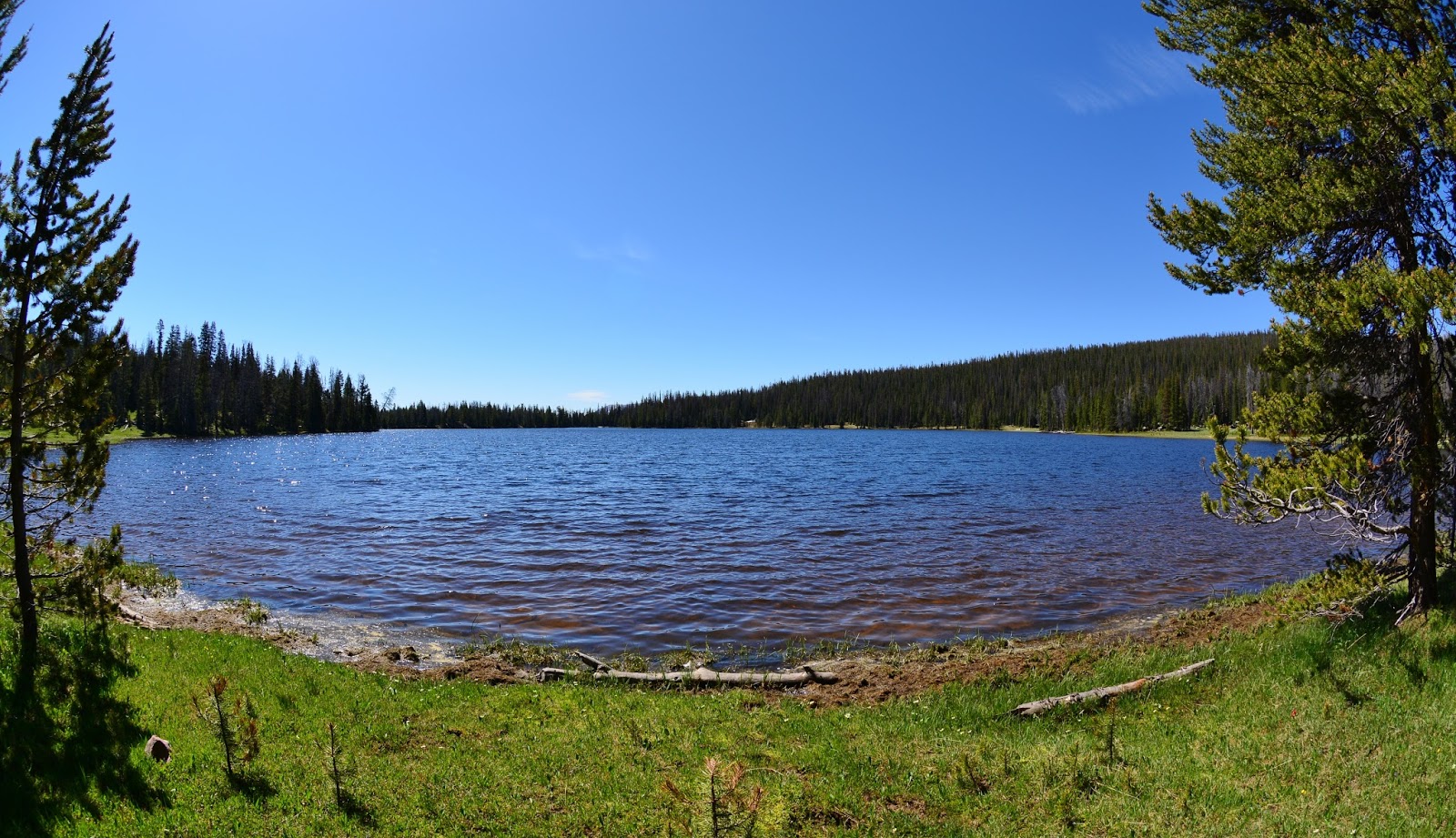
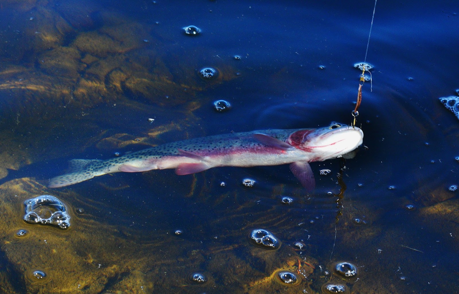
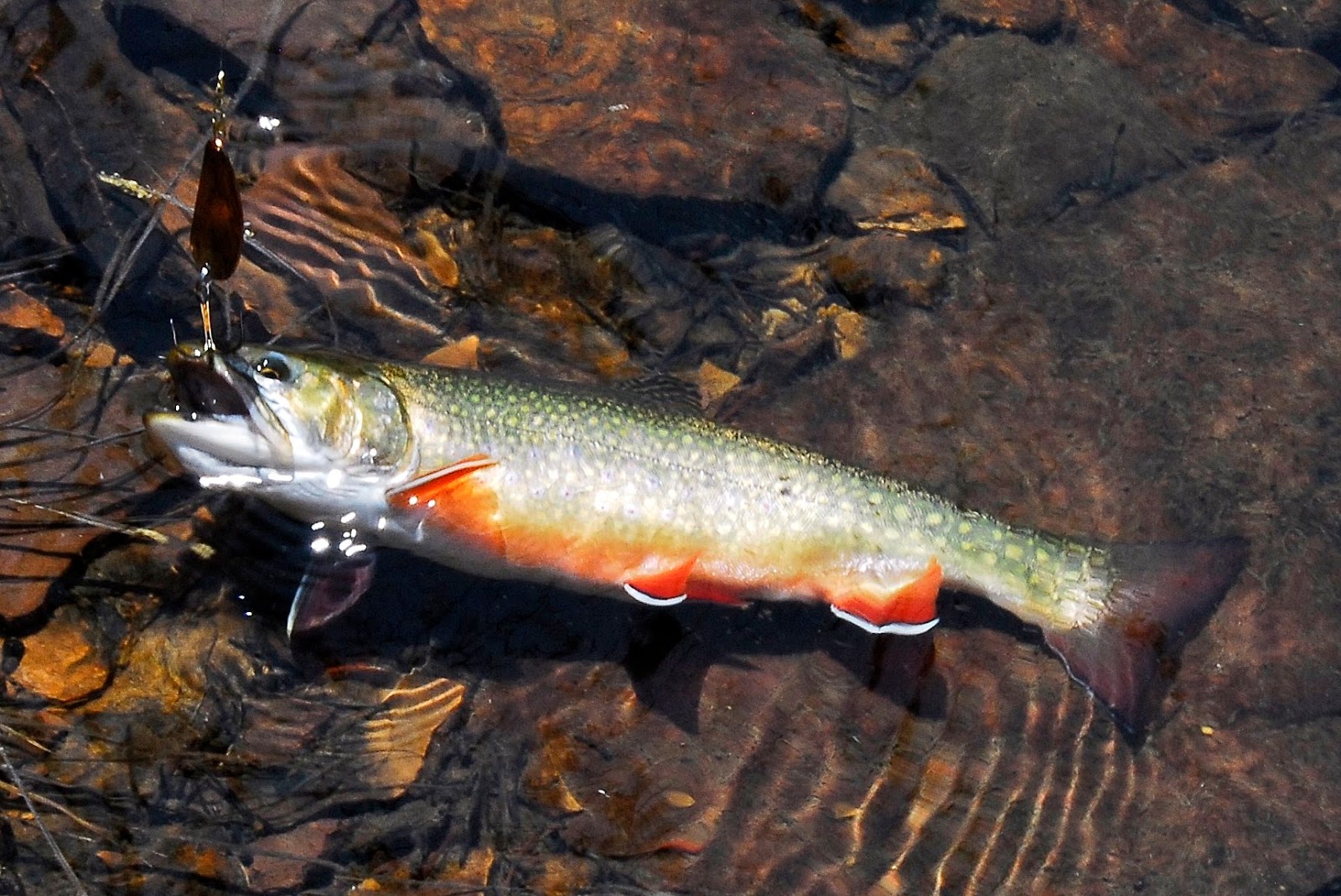
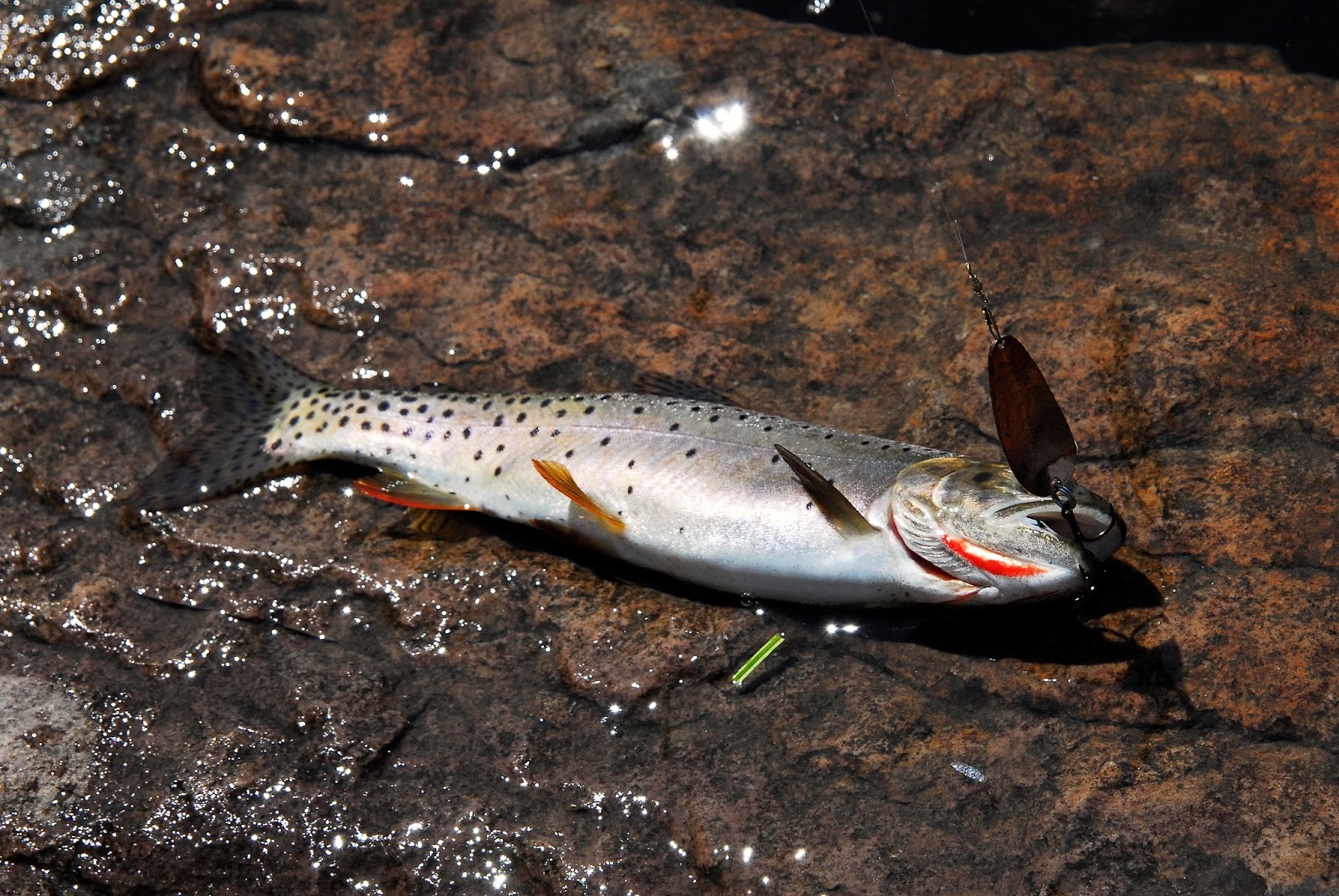
RAINBOW LAKE
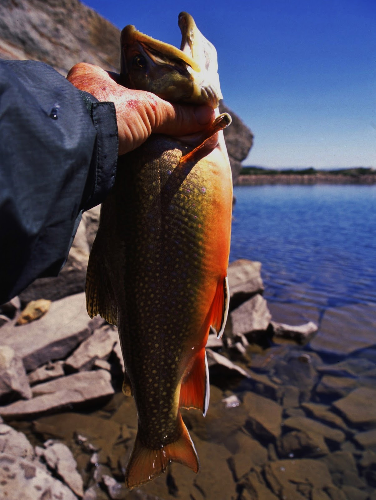
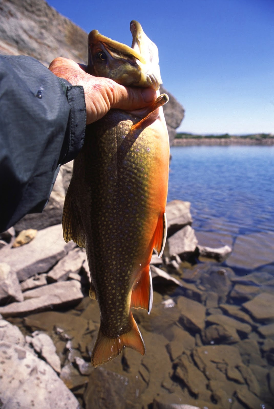
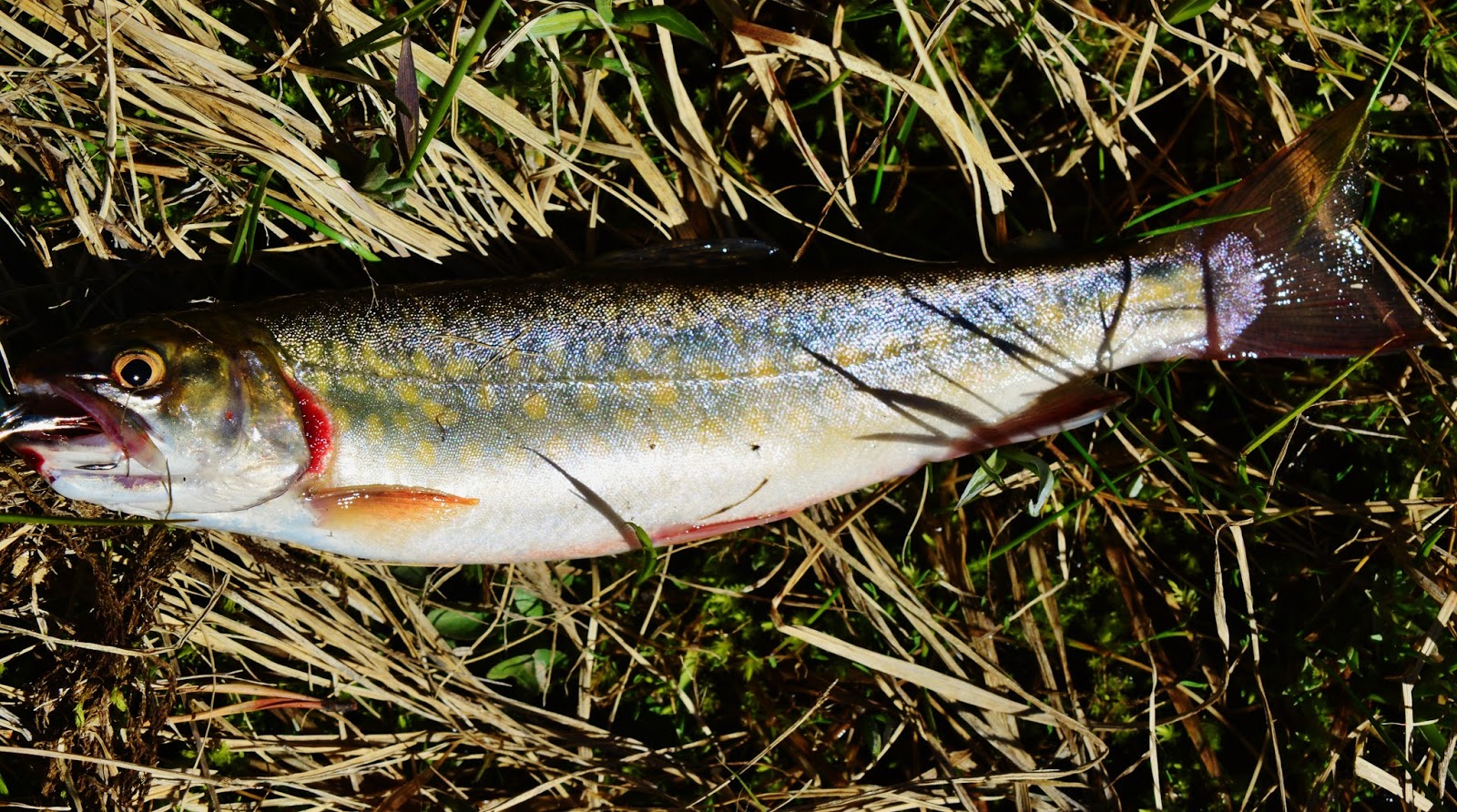
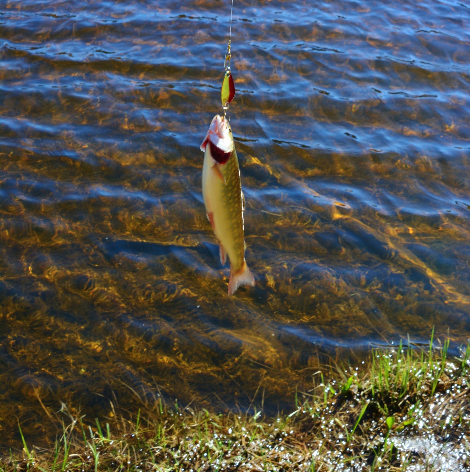
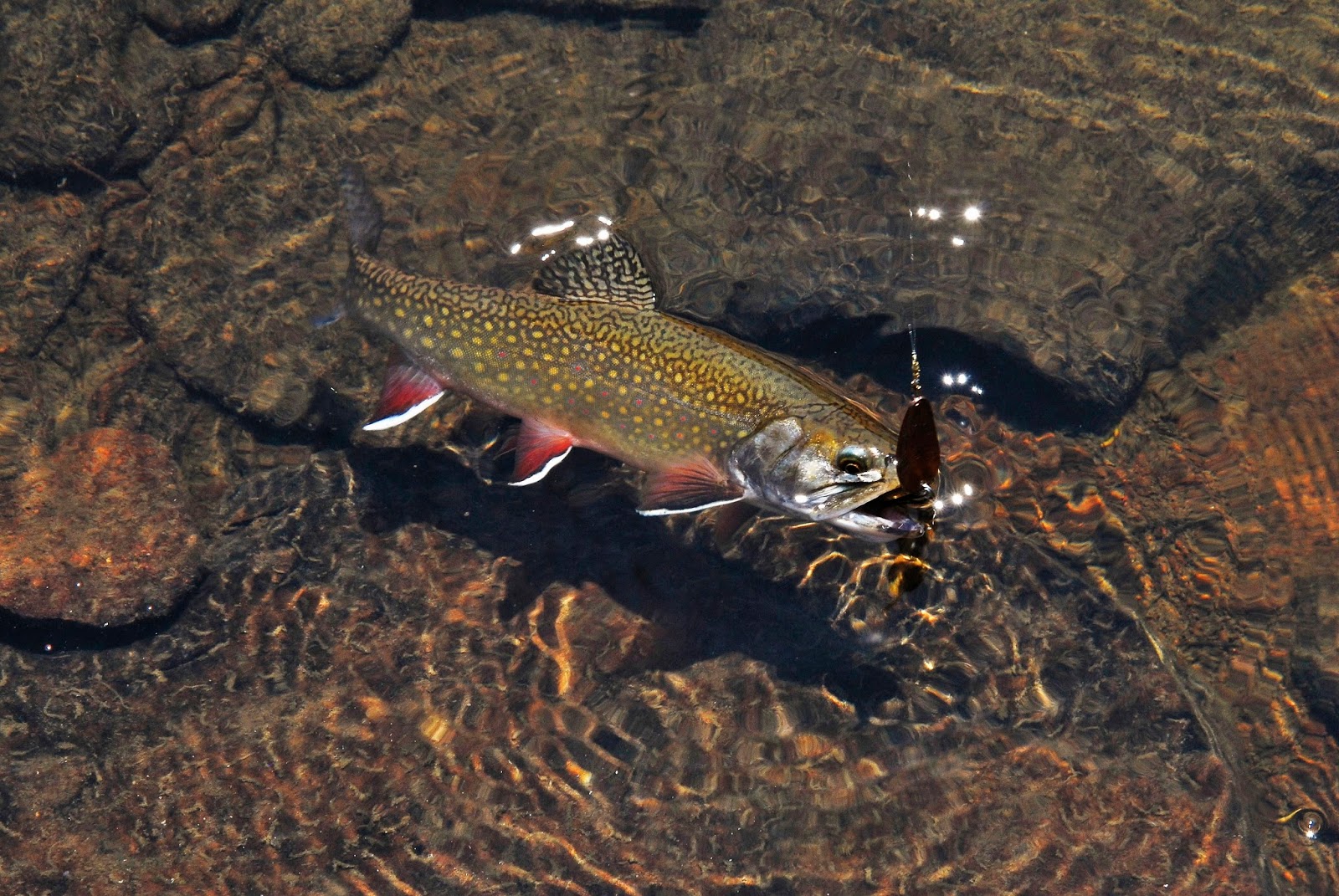
A Rainbow Lake brookie. Ricky Fowler who we met early on said he had fish for dinner, and breakfast, one, that he released being 15 inches long.
We come to the creek ford between Rainbow and Governor Dern Lakes. There would be another ford between Governor Dern and Pinto as the trail would come back on the east side of the lakes. I decided to avoid two fords and rather bushwhack up the east side of Governor Dern which was mostly easy hiking as you see below.
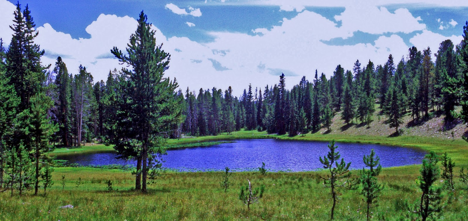
GOVERNOR DERN LAKE
Brookie from Governor Dern Lake
Easy bushwhacking…..the gut wrenching, totally fatiguing kind would soon come!
Lots of coyote dung in the area..
Many factors play into identifying mushrooms….one of them being having “gills” on the underside as this one did.
The fords between Governor Dern and Pinto Lakes. The one below would be fine, but you should always have a pole to steady yourself….especially for older people whose balance is not like it once was.
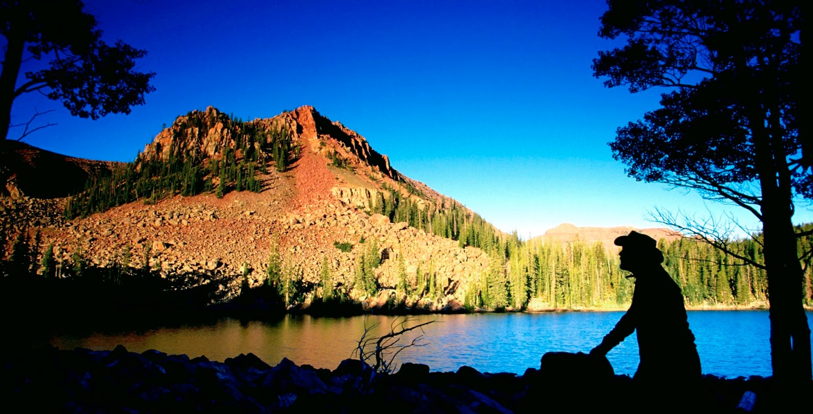
One section of PINTO LAKE
PINTO LAKE brookie
Here we see the larger section of PINTO LAKE
This water came out of the rocks and was considered safe to drink.
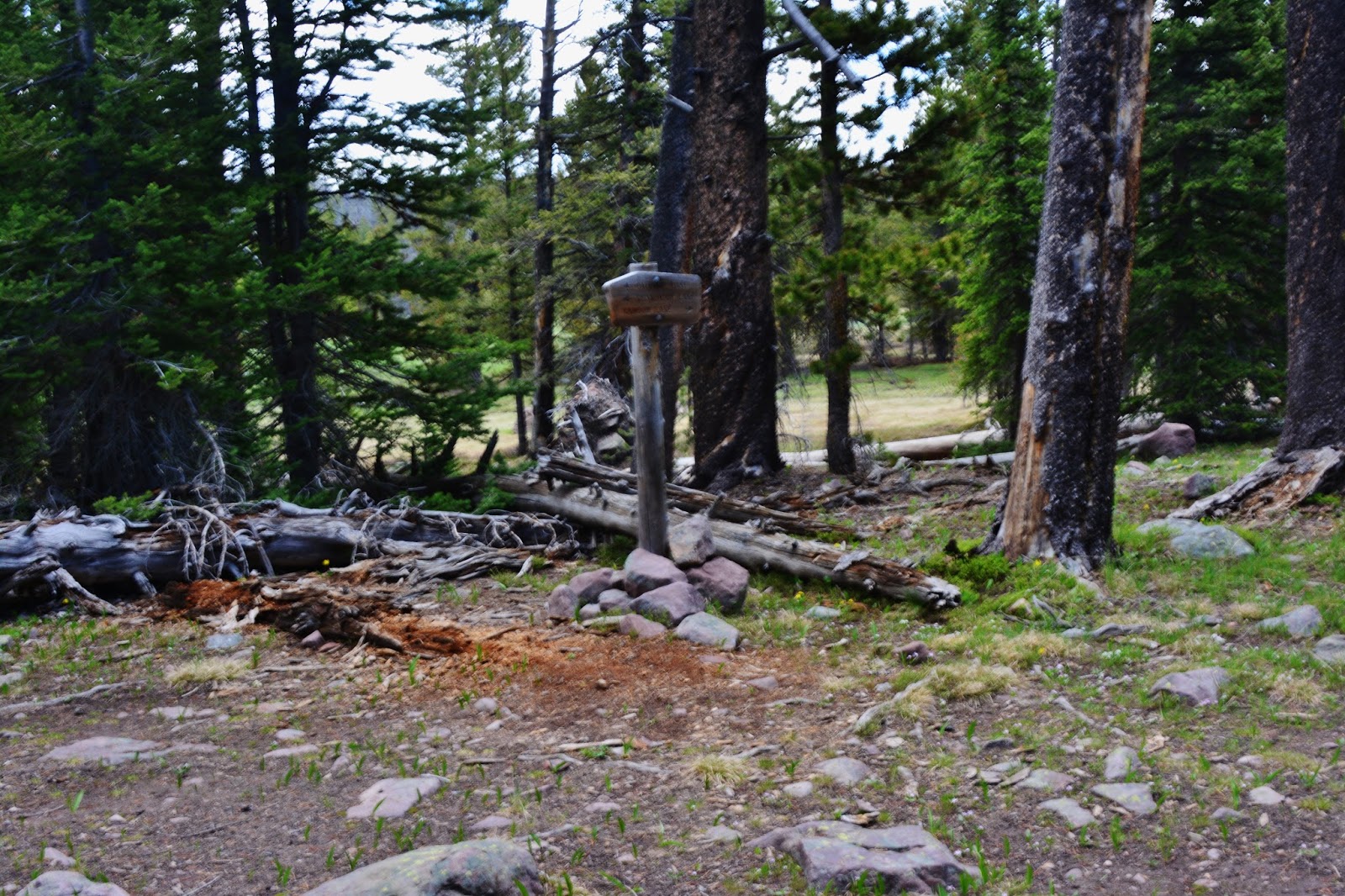
These signs are found a couple of hundred yards northwest of Pinto Lake
These two signs were on the ground. From here you have two choices: One trail goes down into the Canyon of the Duchesne River…about 1 mile, then continues down river to the Duchesne Tunnel Road.
The fork to the northeast we see below goes down, crosses the river and then up to connect to the Highline Trail.
There it goes to connect ot the Highline Trail.
Nearby is a stack of materials to be used by Forest Rangers to maintain the trails.
This is the west end of Pinto Lake
A Pinto lake brook trout
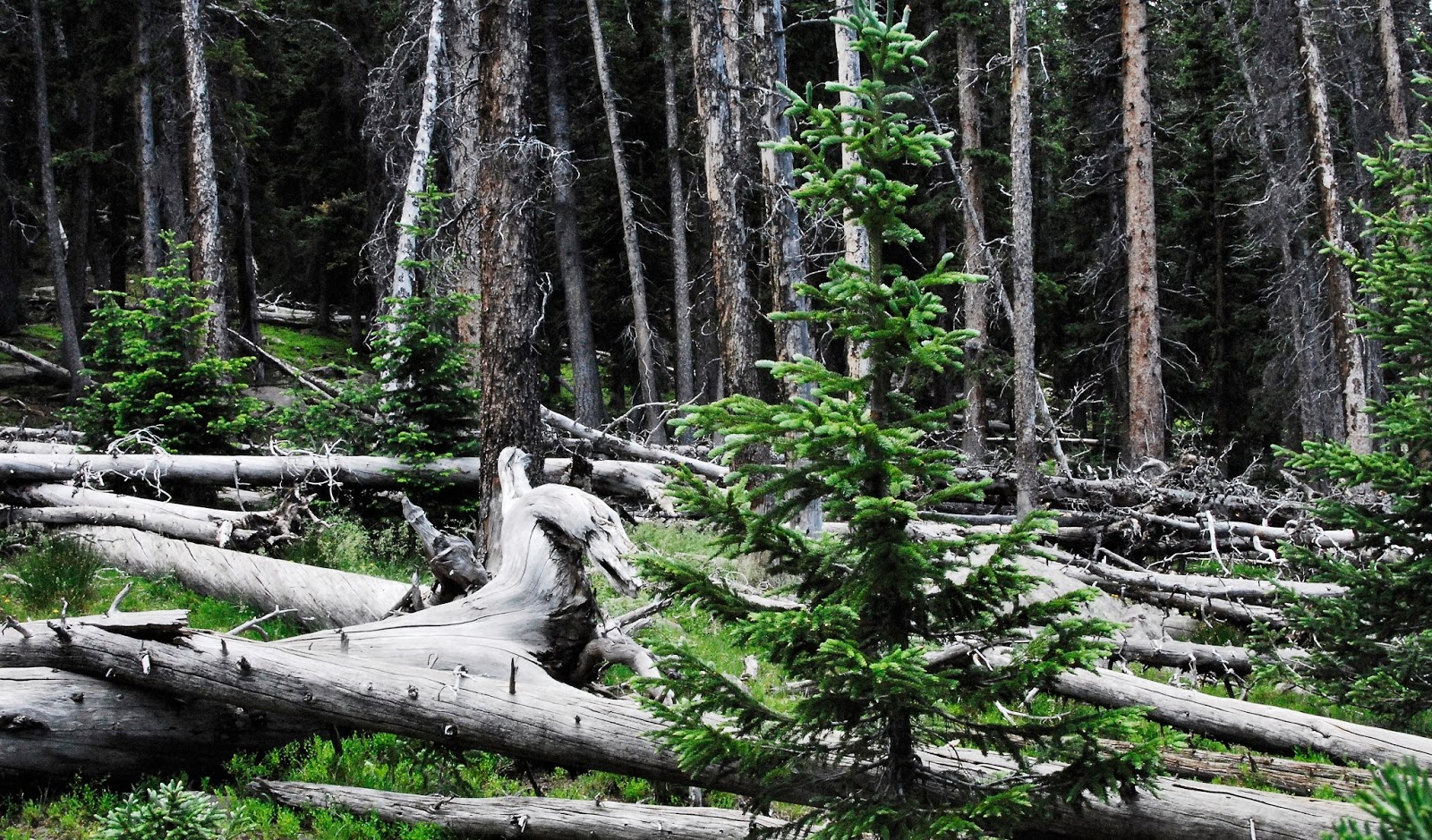
This is the area of my camp near Pinto Lake. It shows why the Forest Service has had to impose strict regulations against campfires. All the trees are totally bare of the dry, dead branches that are common with all trees in the forest. But these have been picked bare, like creating a desert for the wildlife in the area. Some say such an area will take 50 years to recover to its natural state, but the truth is that it will take longer, even until a whole new generation of forest sprouts and grows.
DAY FOUR
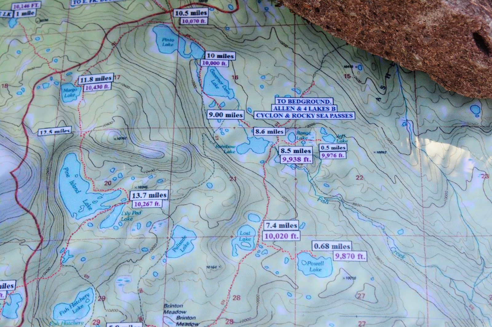
Now we are preparing to navigate to MARGO LAKE. The trail is supposed to take off from the western end of Pinto Lake, but as we will see it was hard to find, and quickly disappeared, thus the need of maps and knowing which direction to head.
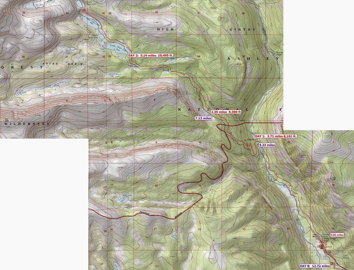
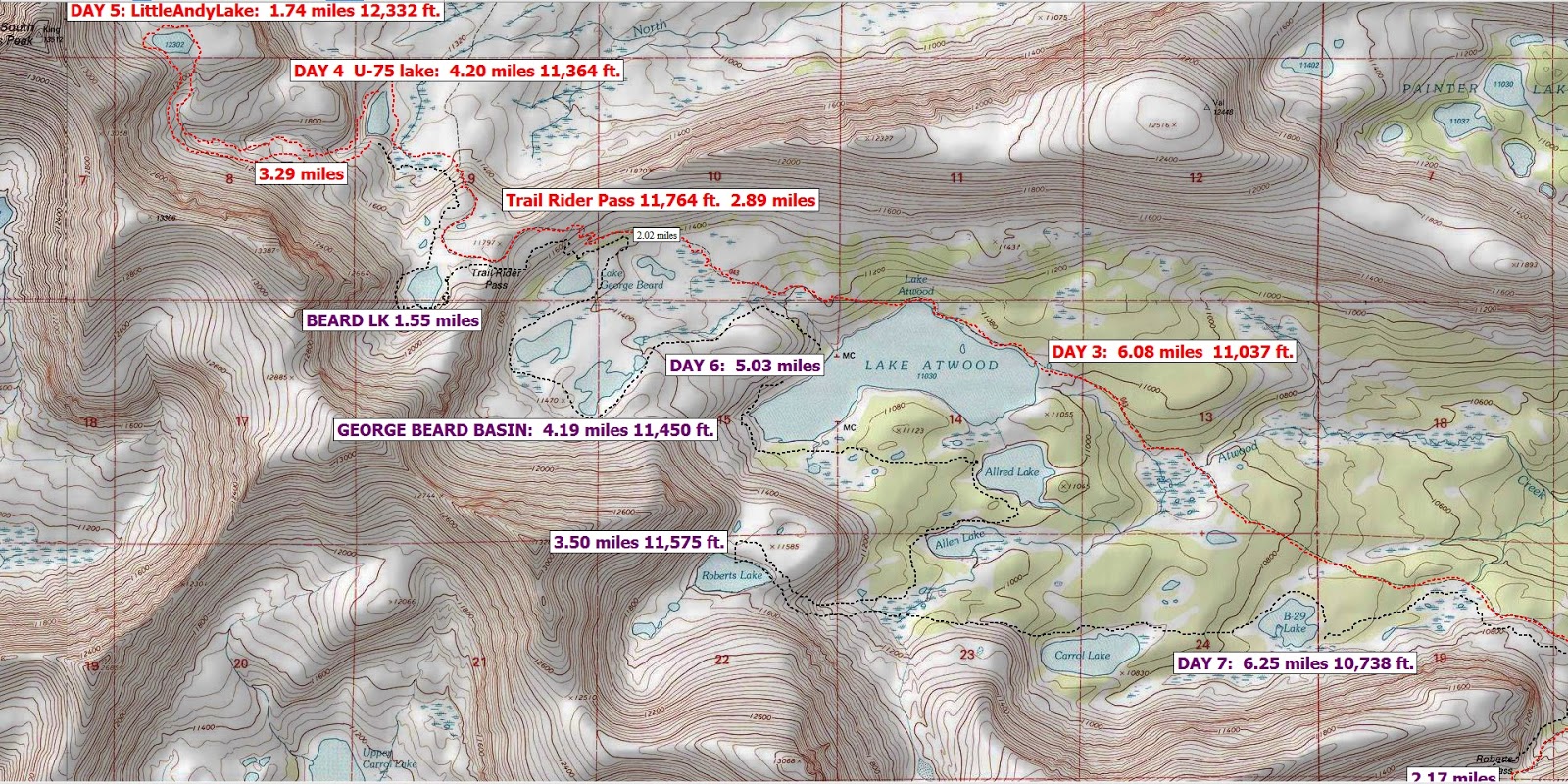
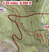
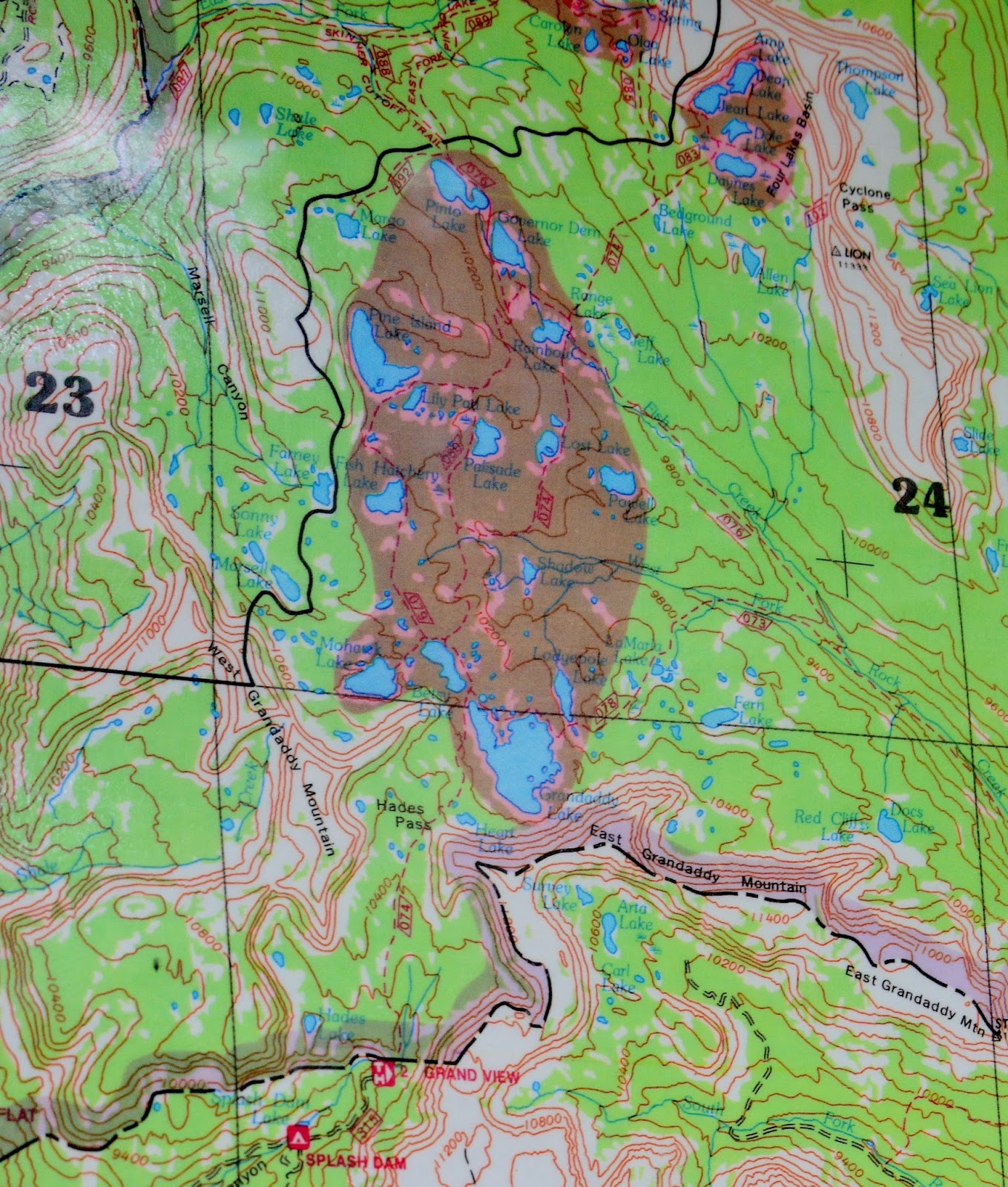
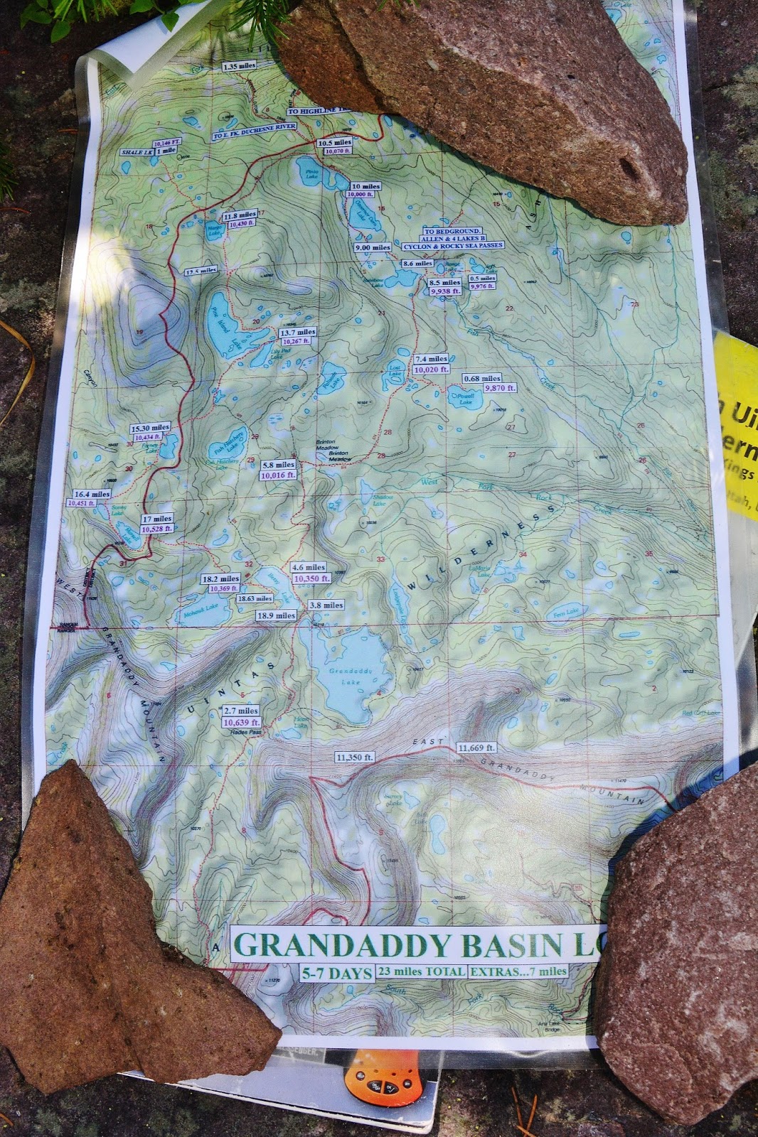
Above is my main map…a topographical map I made from the National Geographic CD/Rom collection, with the route marked, as well as mile & elevation markers. I printed the 11″ x 17″ map on my own printer, but not having waterproof ink, I laminated it on both sides and carry it rolled into a varnished paper towel tube.
The DWR pamphlet (almost 30 years old) says Margo Lake lies “1/2 mile west of Pinto Lake”…WRONG! I had it as 1.3 miles on my topo maps to which you should add 15%, but that is in a direct route. In addition it isn’t “west” but rather southwest up a steep mountain covered with forest and downed timber.
I started with a trail that had no signs or markers, which was soon blocked by downed timber, not having been maintained in many years–maybe not ever.
I thought I was seeing a blaze on the tree in the middle, but never saw another one, so concluded it wasn’t a blaze at all. The trail often just disappeared, and I would continue where I thought a trail should have been, and a couple of times found it, then lost it all together.
As I struggled along, I entertained myself with photographs of the many wonders of nature I found everywhere.
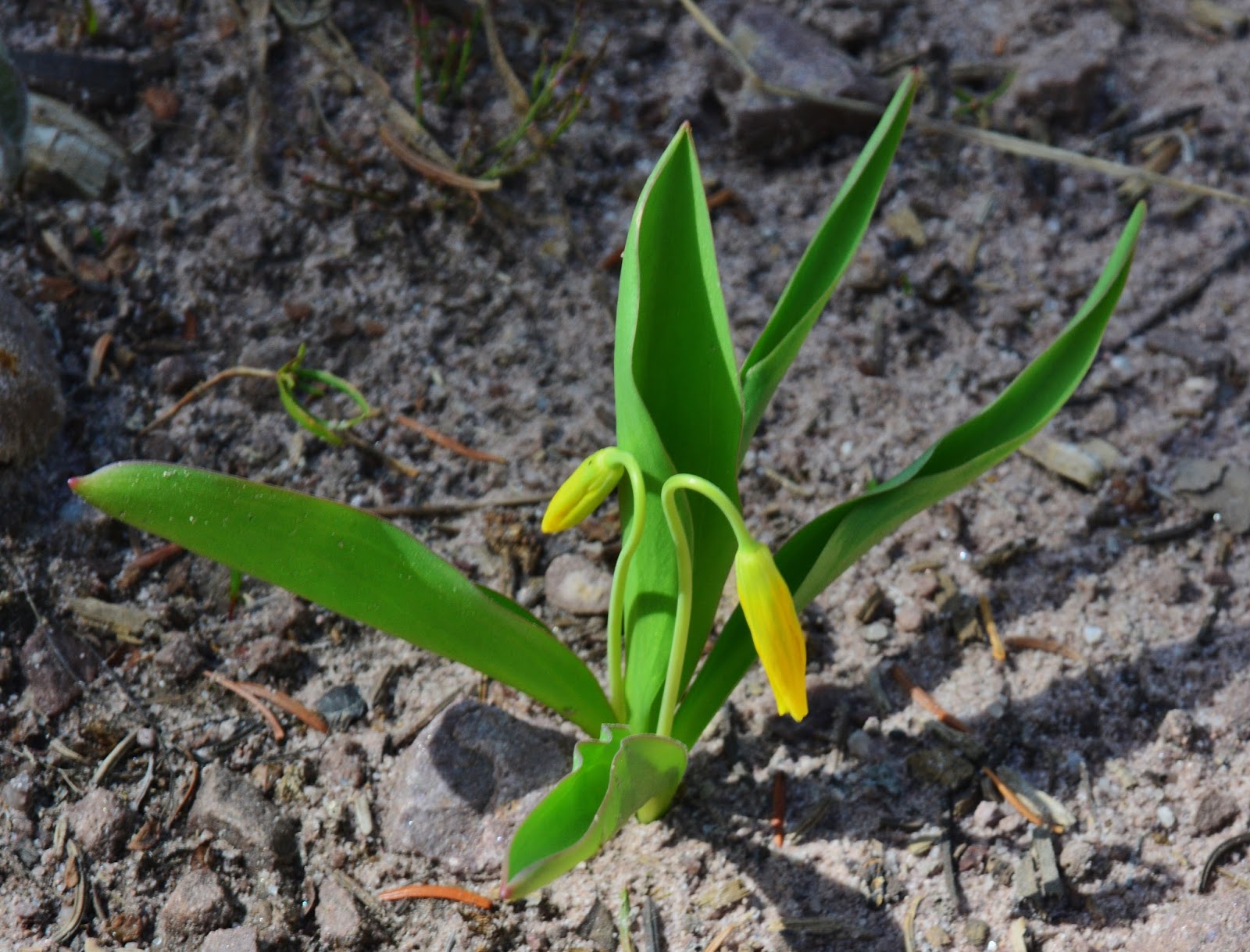
This is the GLACIER LILY or some call it FAWN LILY, one of the many beautiful VISIONS OF NATURE
Soon it was just a matter of bushwhacking up the mountain maintaining a southwest direction as best I could, while continually having to backtrack to get around dead-falls, and dead-ends.
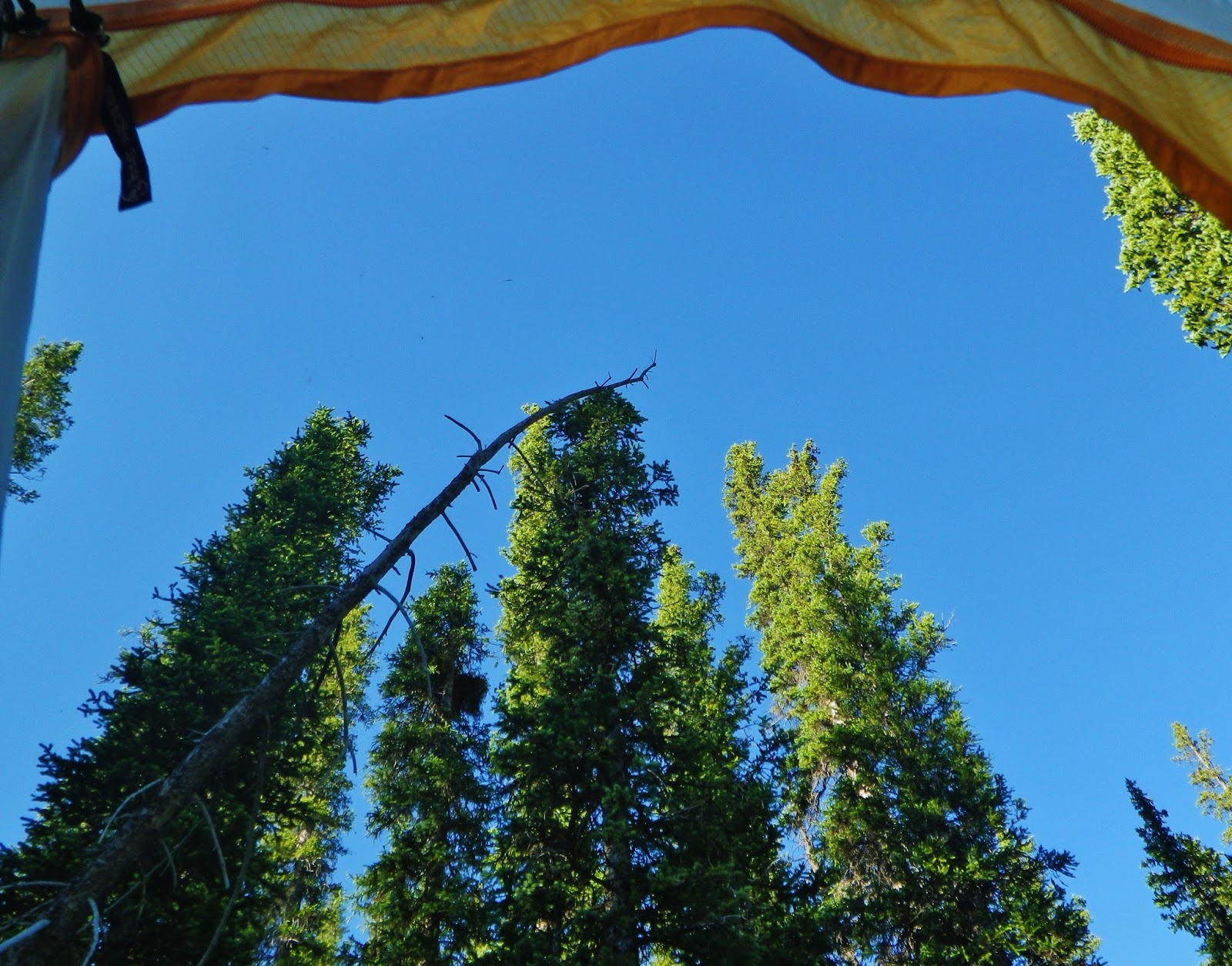
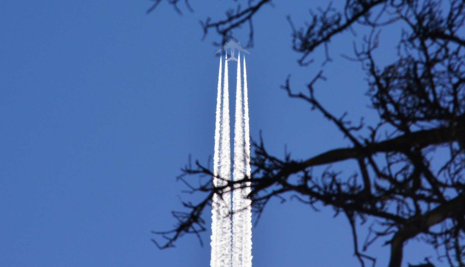
Bushwhacking up a steep slope was very tiring for me in my 80th year, and I rested often, just flat out on my back……and looking up got a shot of our MODERN WORLD LEAVING ME WAY BEHIND IN ITS VAPOR TRAIL!
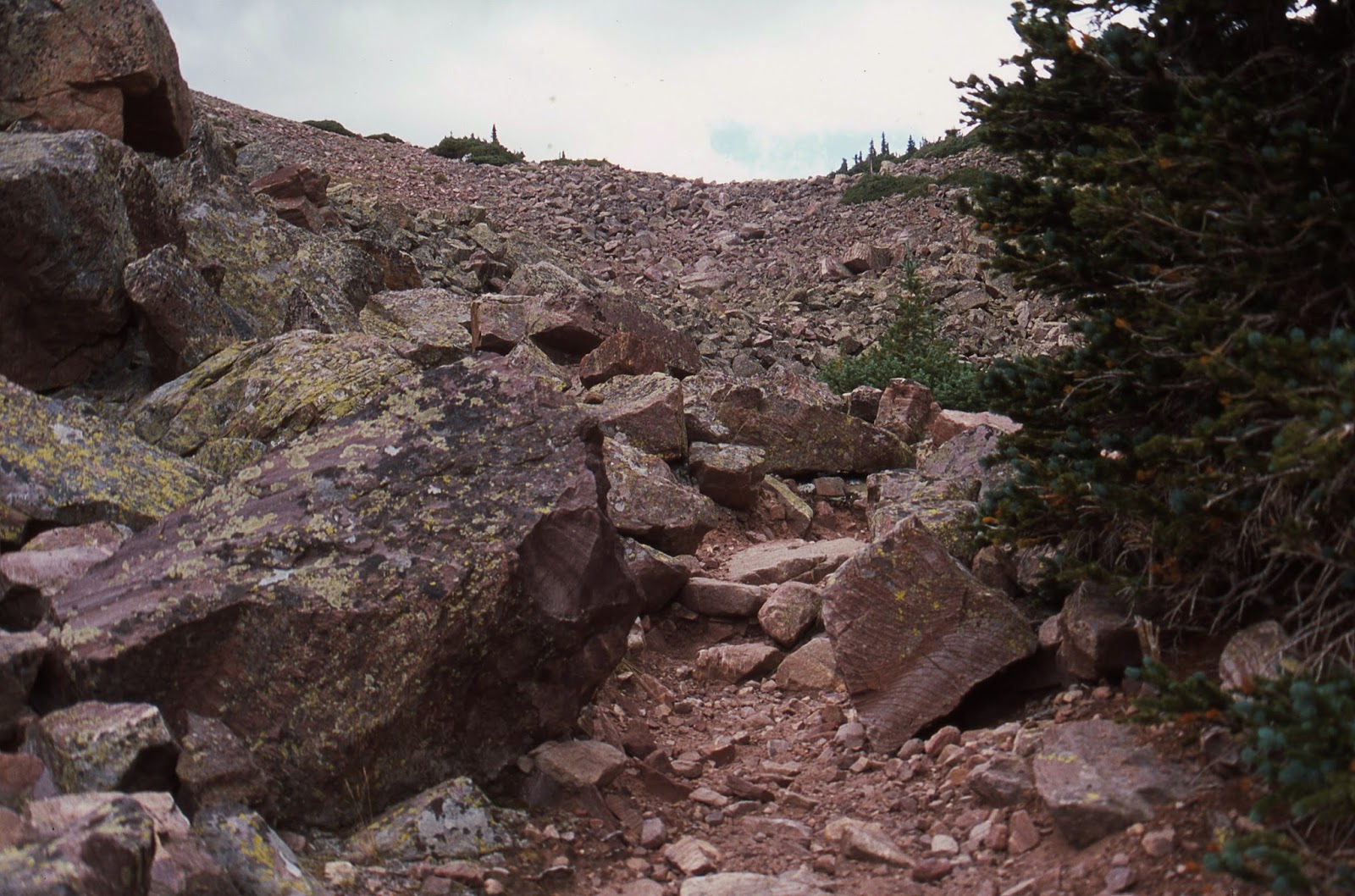
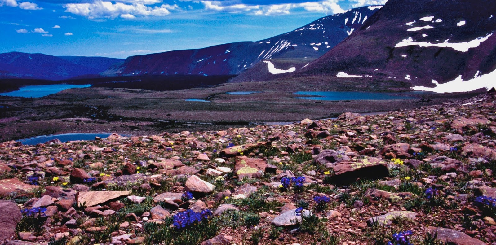
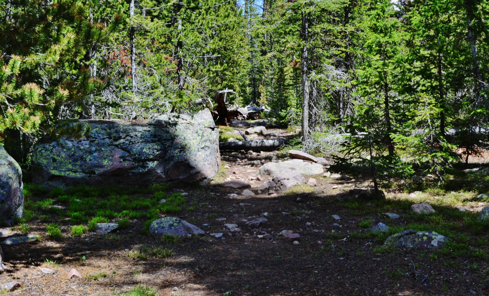
Once in a while I came to boulder fields requiring careful “boulder hopping” and good balance and keen judgement when choosing which rock seems safe….and won’t move on you, but always have a 2nd option to move to fast!
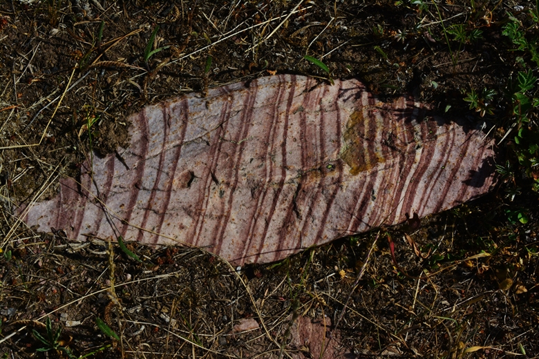
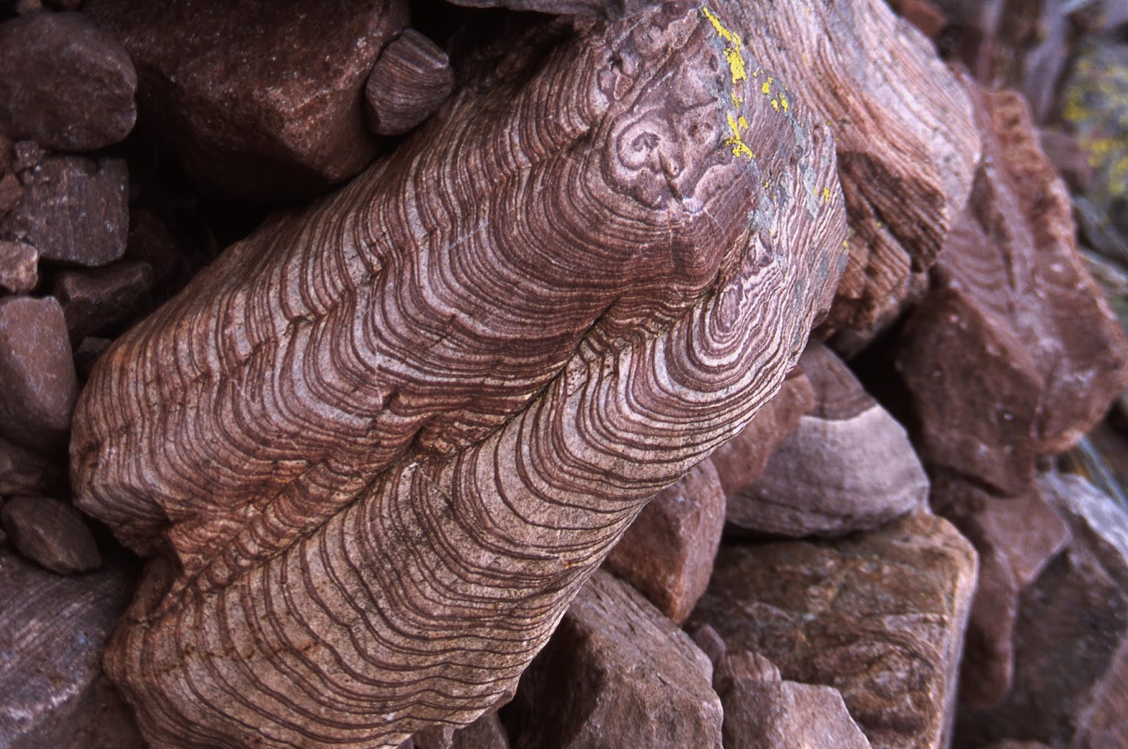
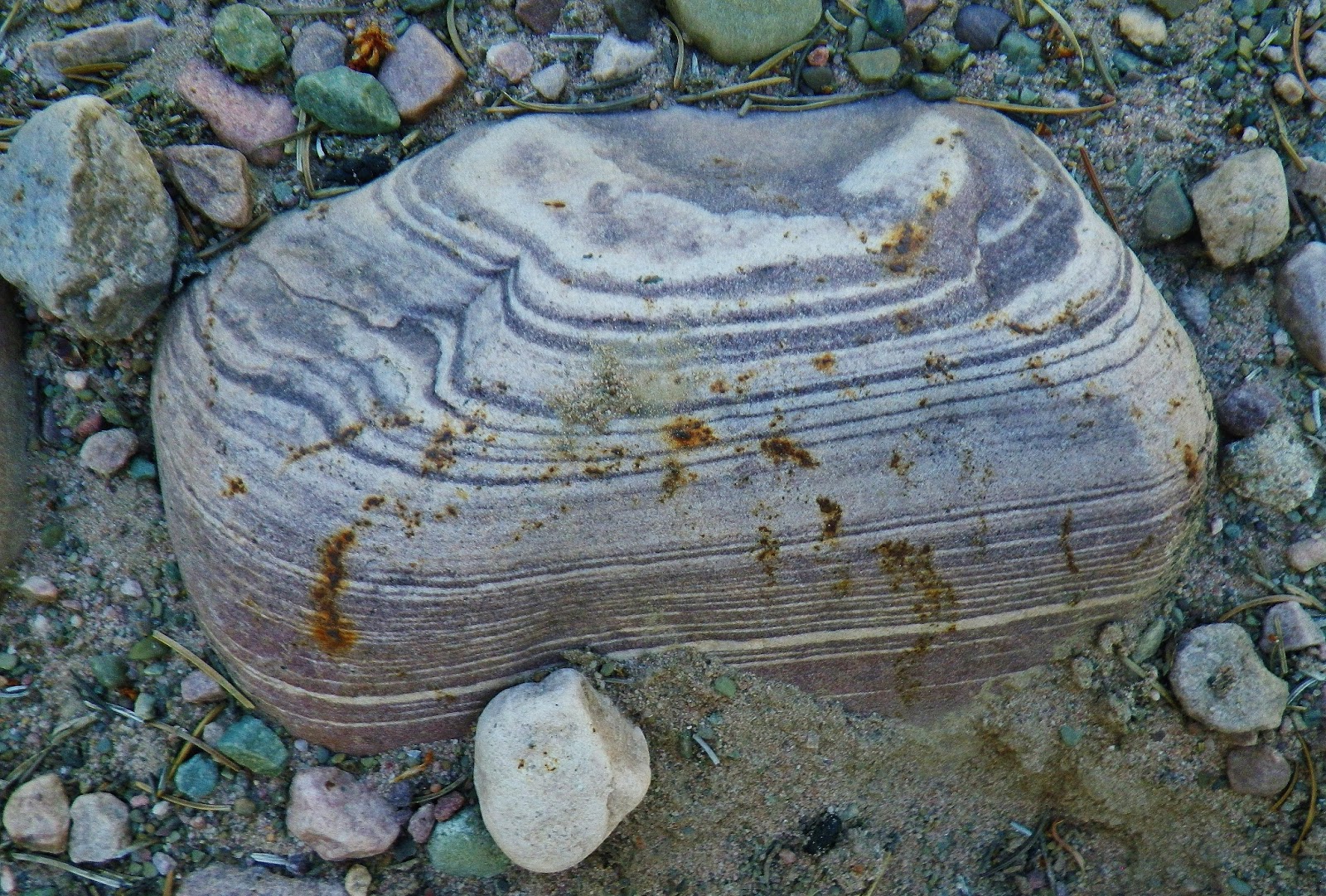
In the chaos of the jumbled geology of the Uintas, you can find even there the divinely graceful and beautiful wavy lines of creation.
Pinto Lake seen below and will soon disappear from view.
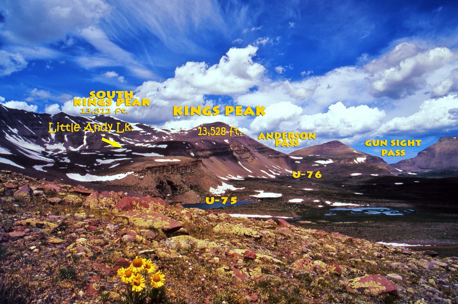
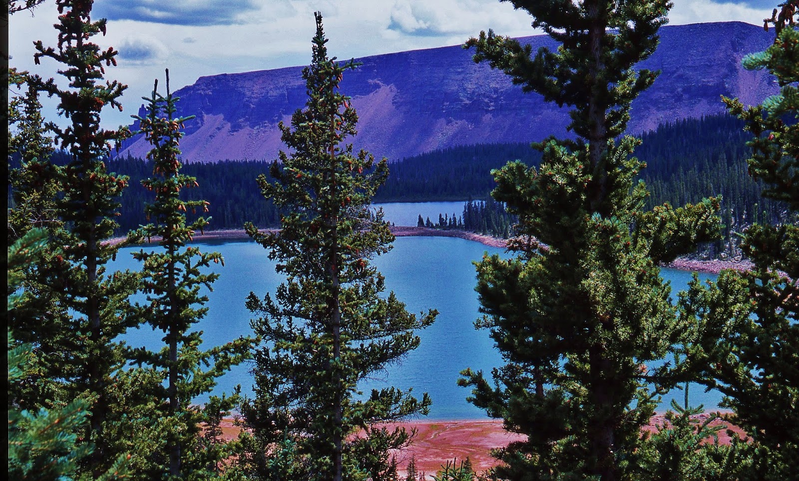
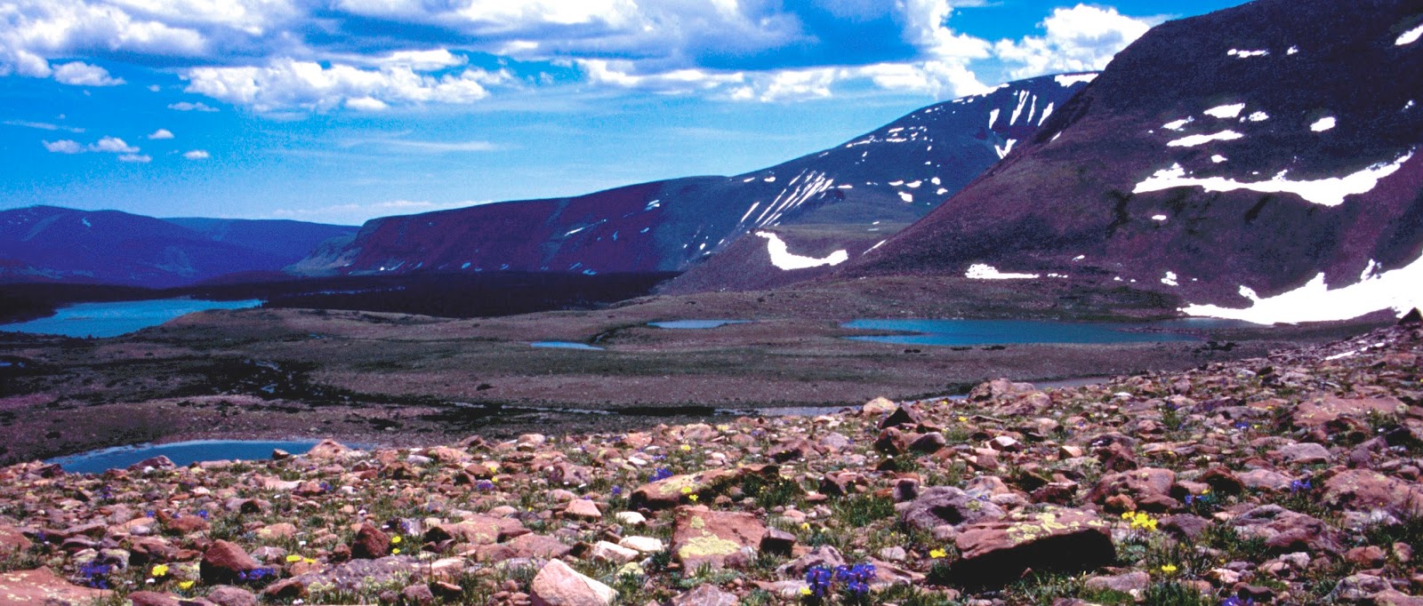
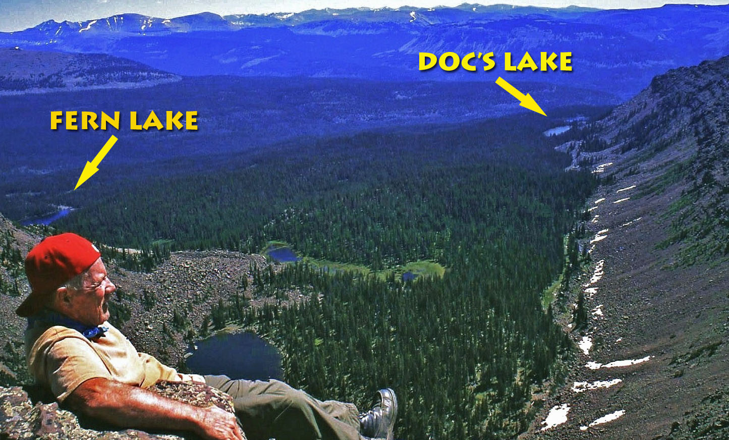
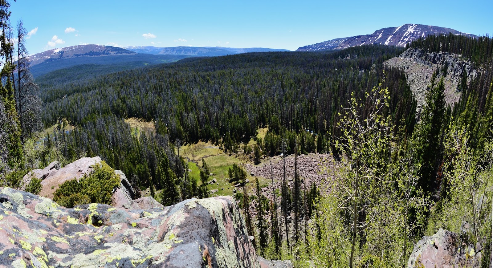
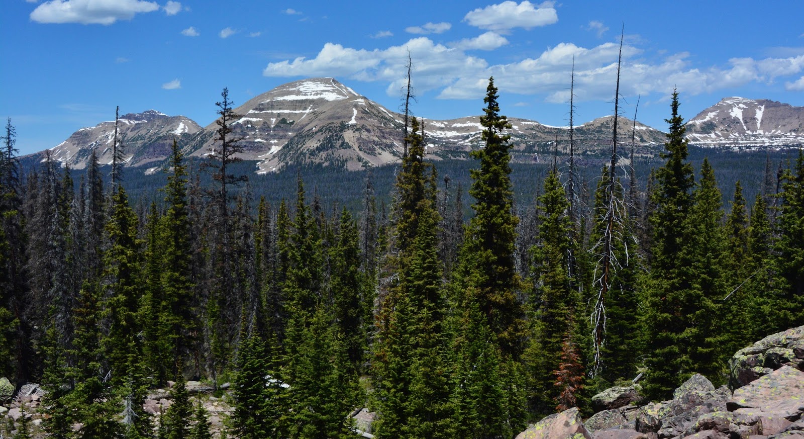
As we come up out of the closed forest, the panorama of the High Uintas looms to the north with Hayden Peak on the left, then Mt. Agassiz, and on the far right Spread Eagle Peak.
We zoom in on the middle section which is the Naturalist Basin, and see the waterfall that drains the bench where the Morat Lakes are found.
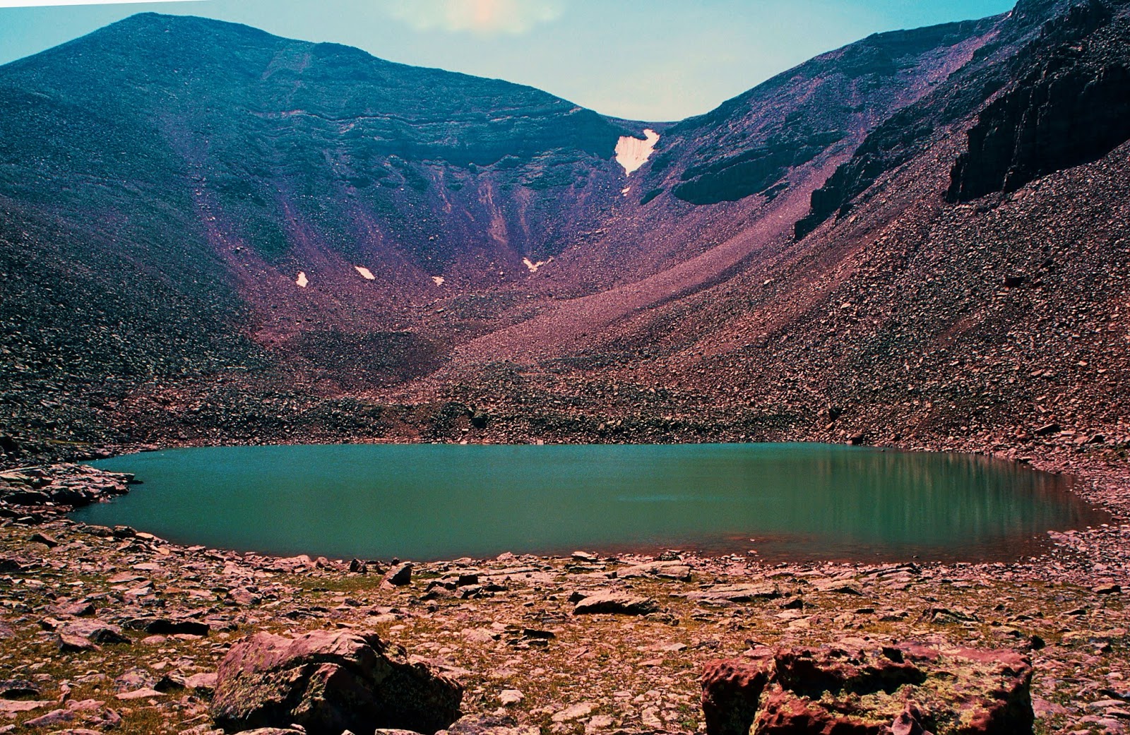
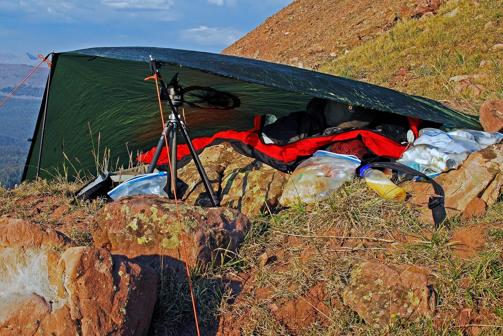
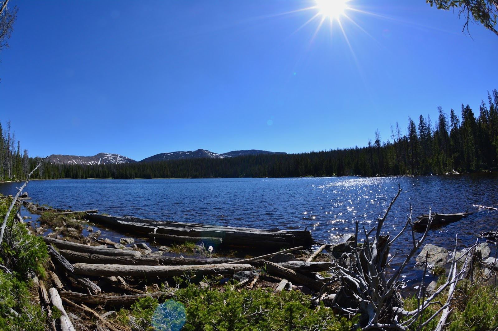
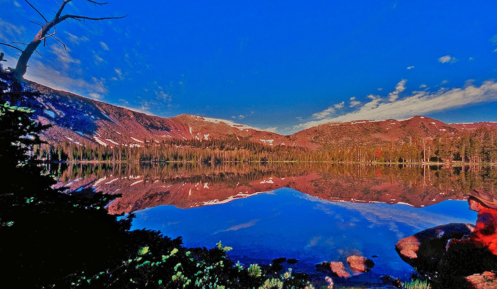
Soon my navigation works out and I approach MARGO LAKE at 10,430 ft. elevation with Mt. Baldy in view through the trees. We zoom in below.
We take a series of 4 pictures put together later into this panorama of Margo Lake…..the last remote lake to be reached by me in the Grandaddy Basin, making my collection complete.
I will admit being totally fatigued with the bushwhacking up that mountain, that rather than the “1/2 mile” in the Fish & Game pamphlet, and my like 1.5 miles on the topo map, more than likely had done at least 3 miles, maybe 4, with all the zig-zagging here and there, and backtracking, time after time, to get around downed timber, and rock obstacles. I had to rest and take my recovery supplements FAST! I was feeling sickness coming on.
Set up my camp, and went for water…lots of it, and soon felt some relief.
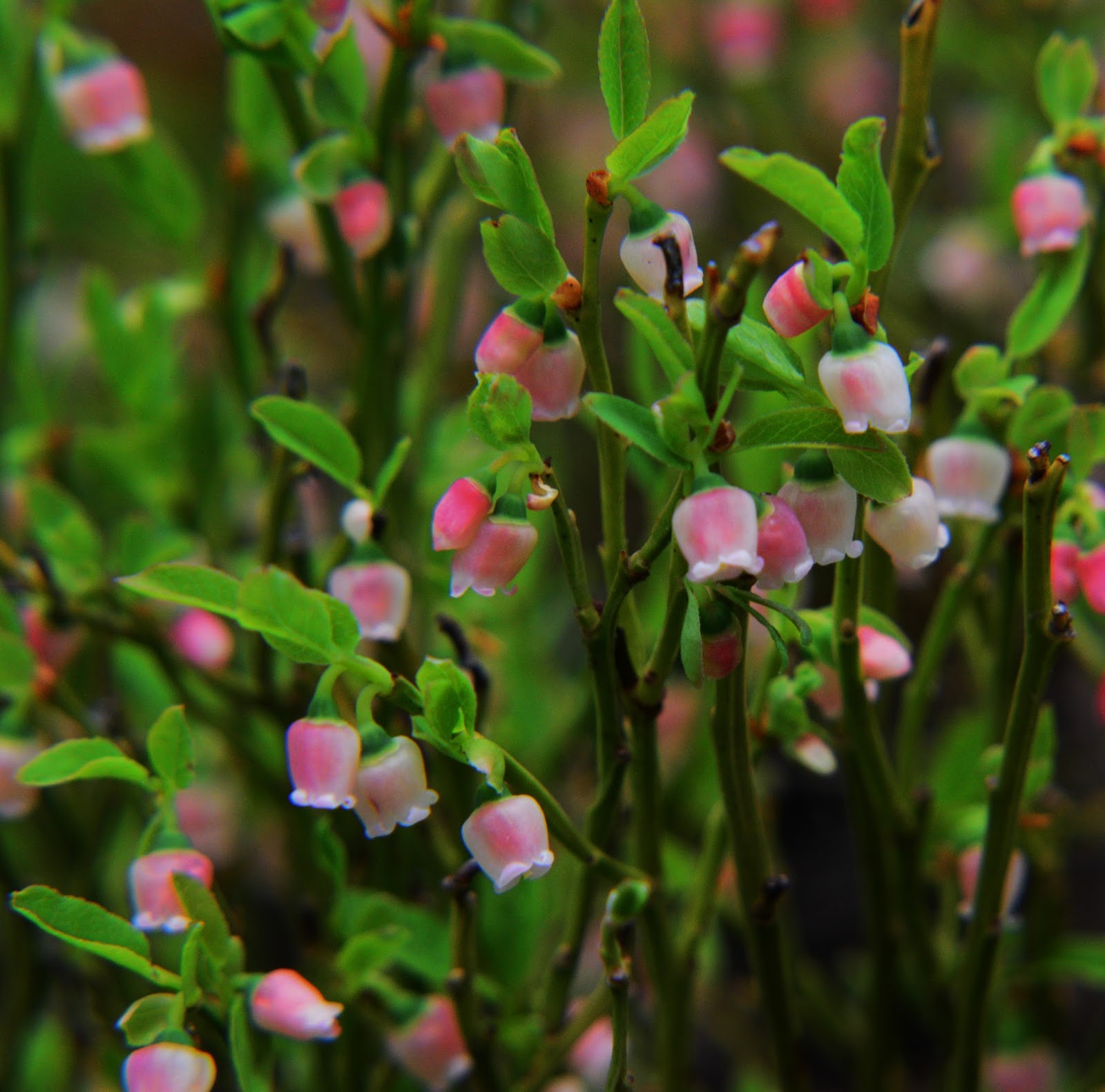
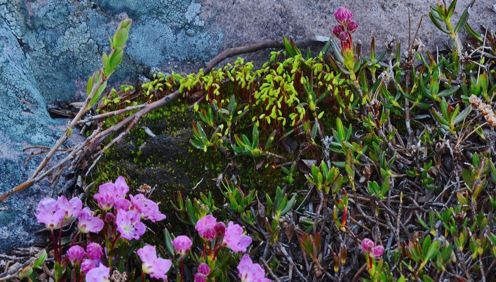
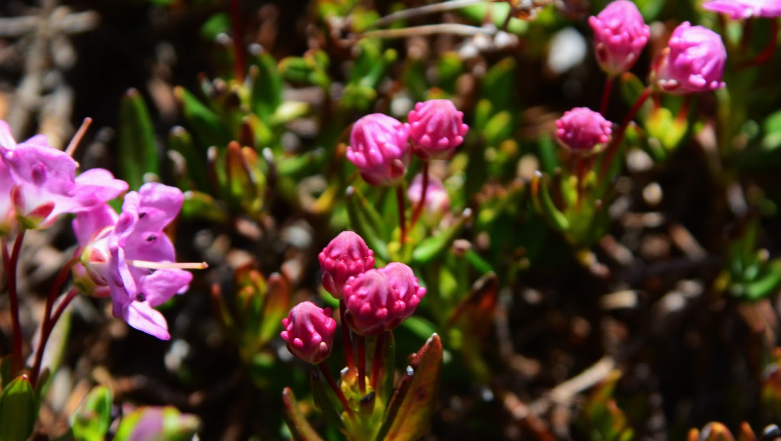
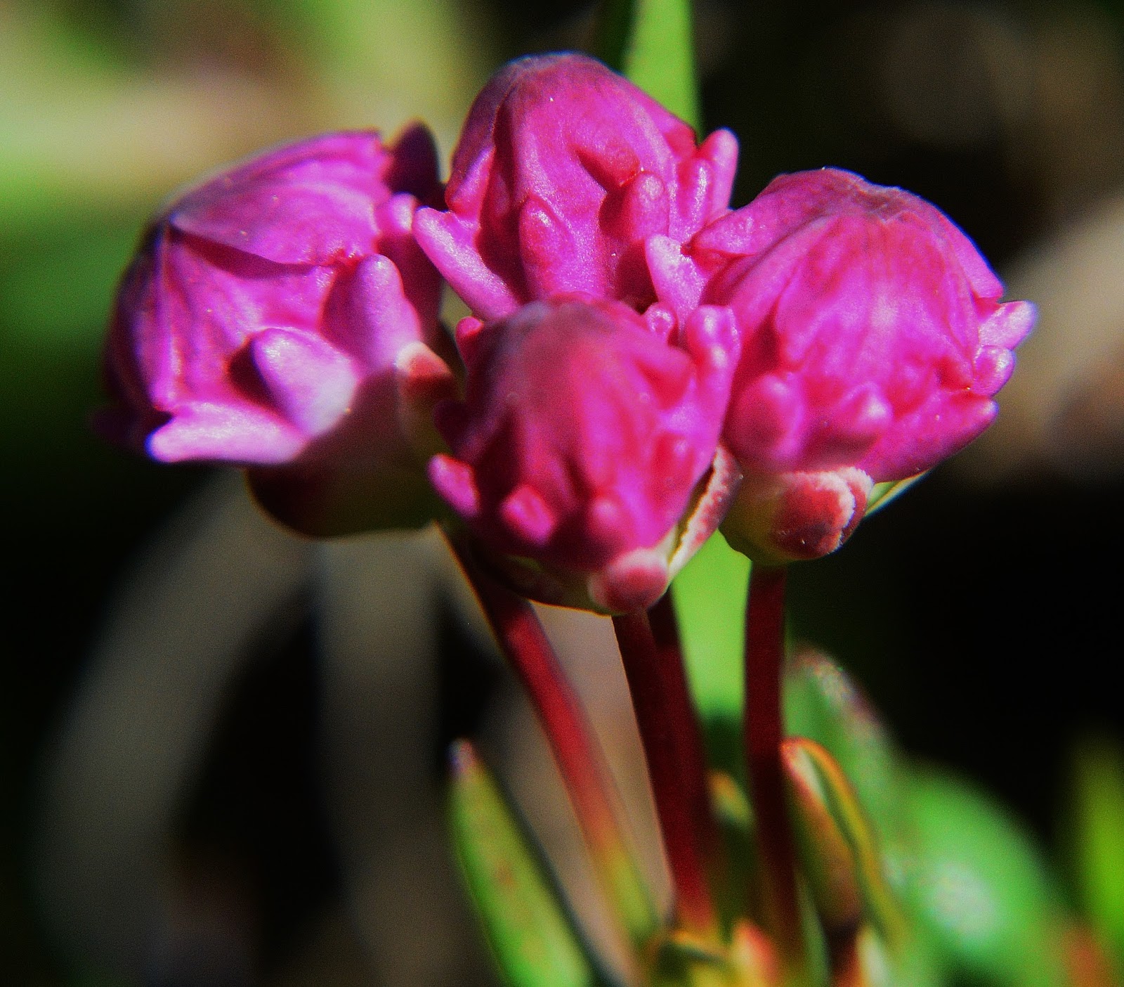
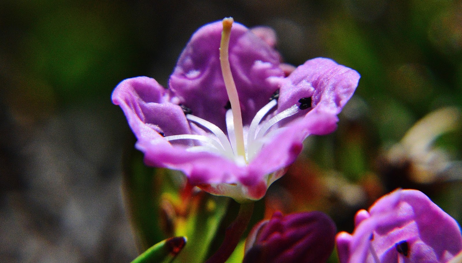
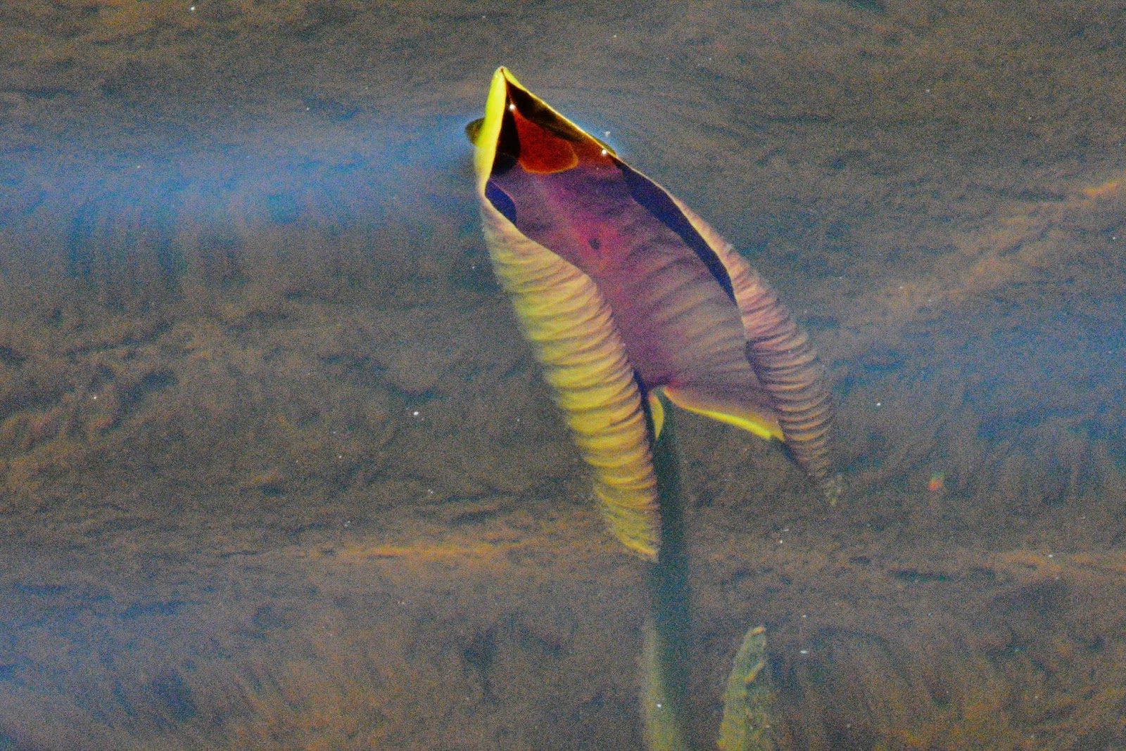
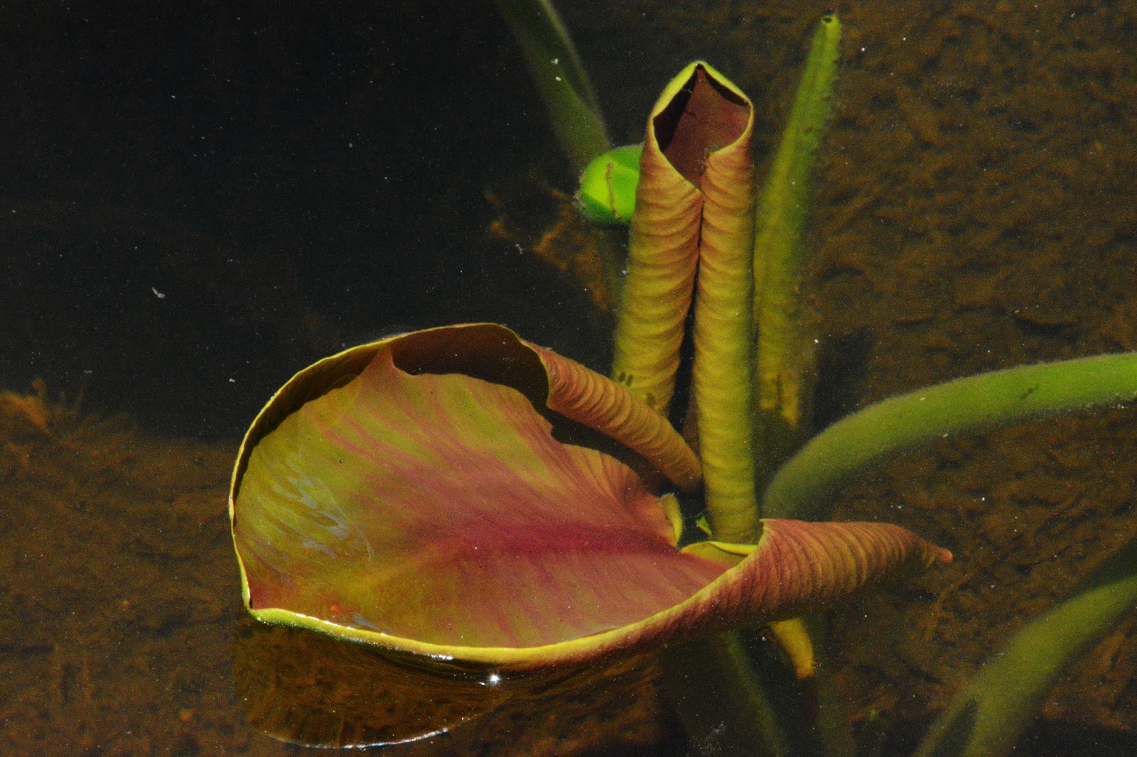
So with the supplements and some rest, I felt a bit better and with my camera headed for the lake where I had seen BOG LAUREL in various stages of development that I hadn’t seen so well before. So follows photographs of the various stages of this tiny, colorful VISION OF NATURE.
ENJOY!
I was too tired to try fishing, so soon fixed some dinner and with night settled in for a warm night. The heat of the valleys of the Wasatch was affecting the Uintas, and I had to strip down just to my shorts. The extra clothing I had brought would also mostly be left in civilization for my next trip, saving another couple of pounds.
Made a satellite phone call to Laura, my special friend from 50 years ago, who after 30 years of silence, “against all odds” is back in my life.
I went to sleep, but at about 1:00 AM awoke hearing some animal playing with one of my empty water bottles. Was it a coyote, as I had seen just outside my tent on the Middle Fork of Blacks Fork, and again near a Grandaddy Lake camp, or maybe another nocturnal mammal, like a Pine Marten, we had seen once come right into our camp.
Eventually my curiosity got the best of me, and shirtless I opened my tent and got halfway out with my headlamp, and camera…..and for the next hour I slaved away trying to get pictures of a new friend around 30 feet from my tent…A SNOWSHOE RABBIT…..you see below. ENJOY!

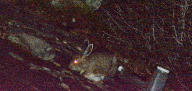
Eventually I realized that outside it had got a bit cold, and there I was shirtless for all that time….and began chilling! I knew that was dangerous for an old guy, whose immune system was weakened because of the fatigue from the previous day’s bushwhacking. I closed down the effort and got back into my tent, put a shirt on, and took some supplements to prevent getting sick, and yes I prayed and kicked myself a time or two for having been careless.
DAY FIVE
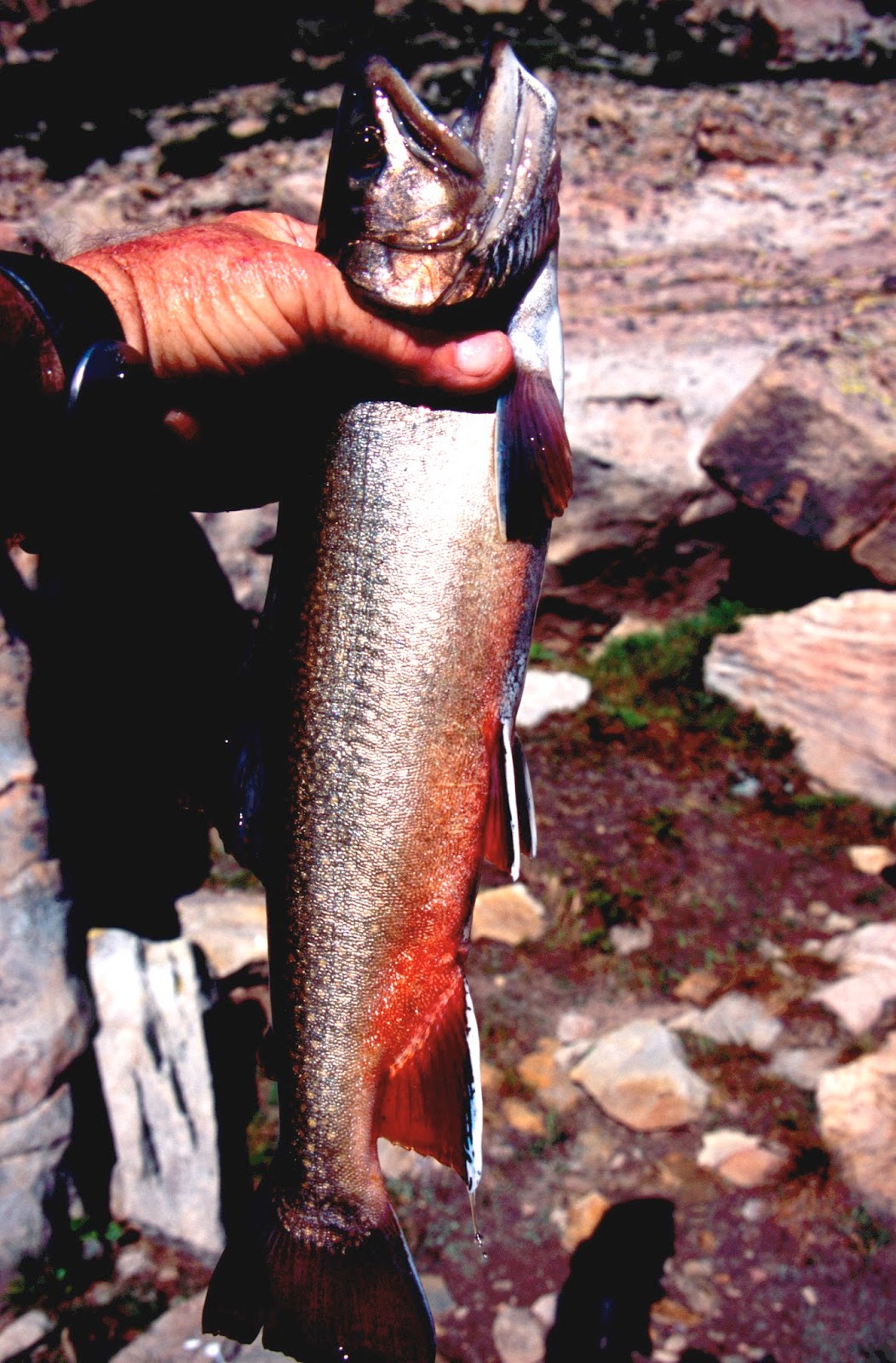
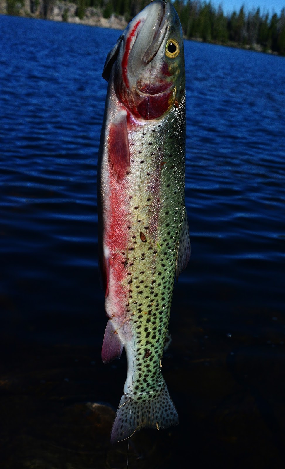
The day dawned and I seemed to be alright and just had to try a bit of fishing in this remote, mysterious lake.
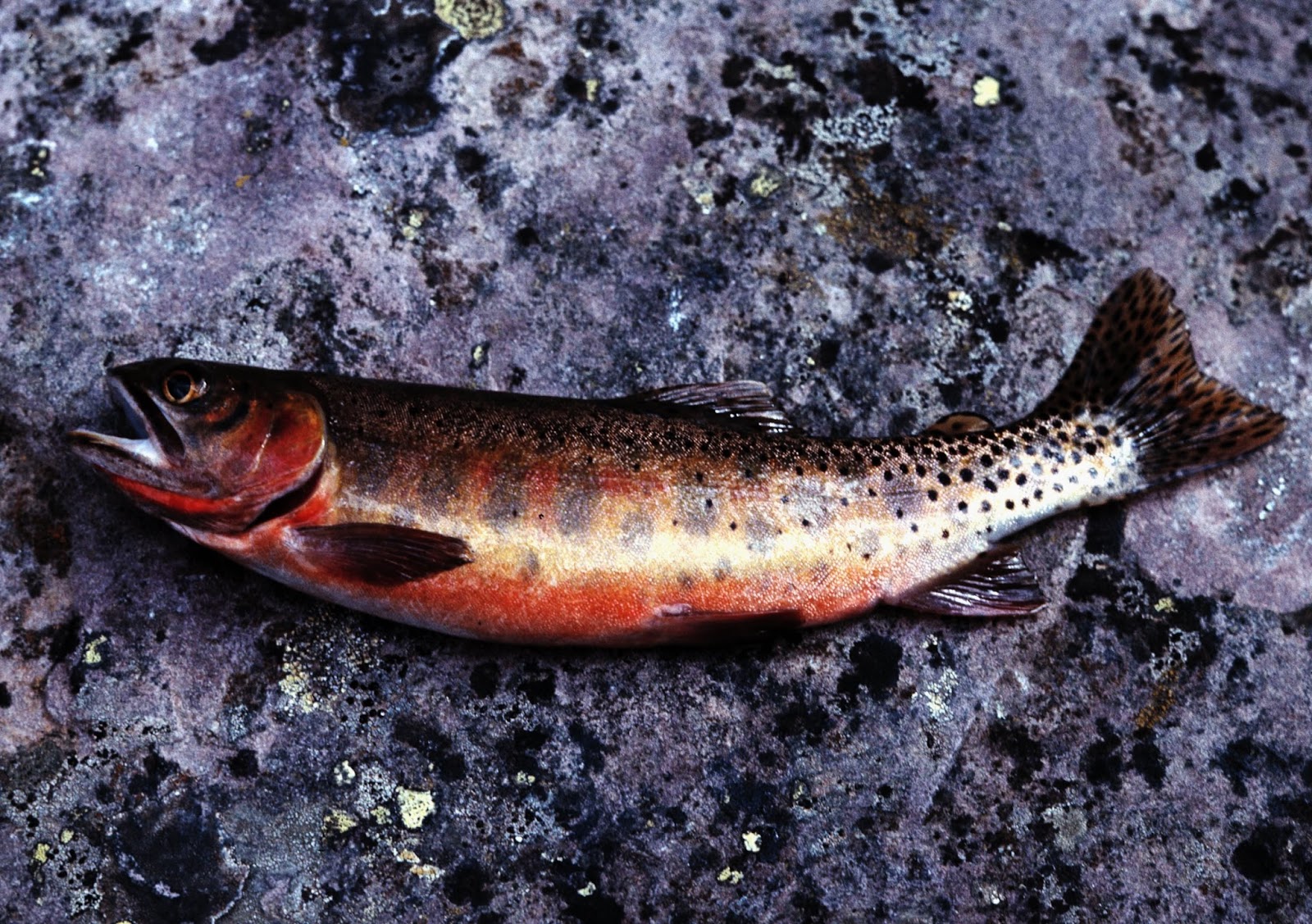
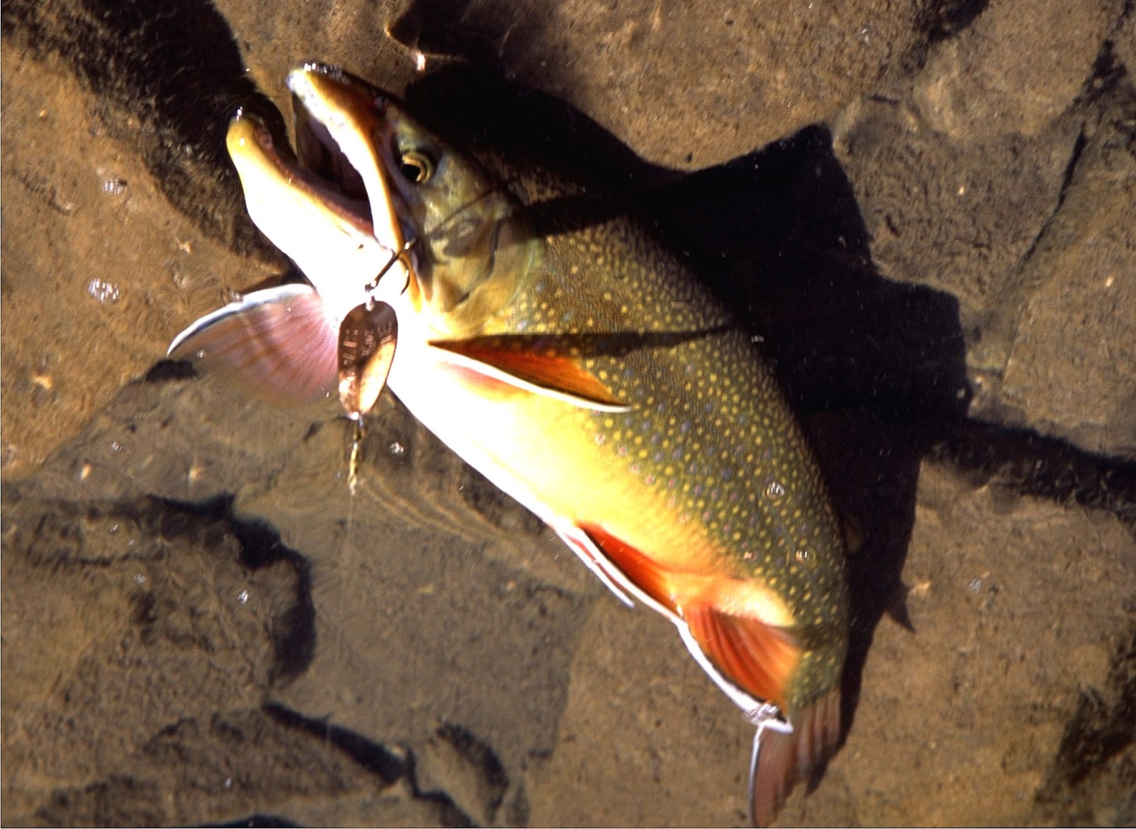
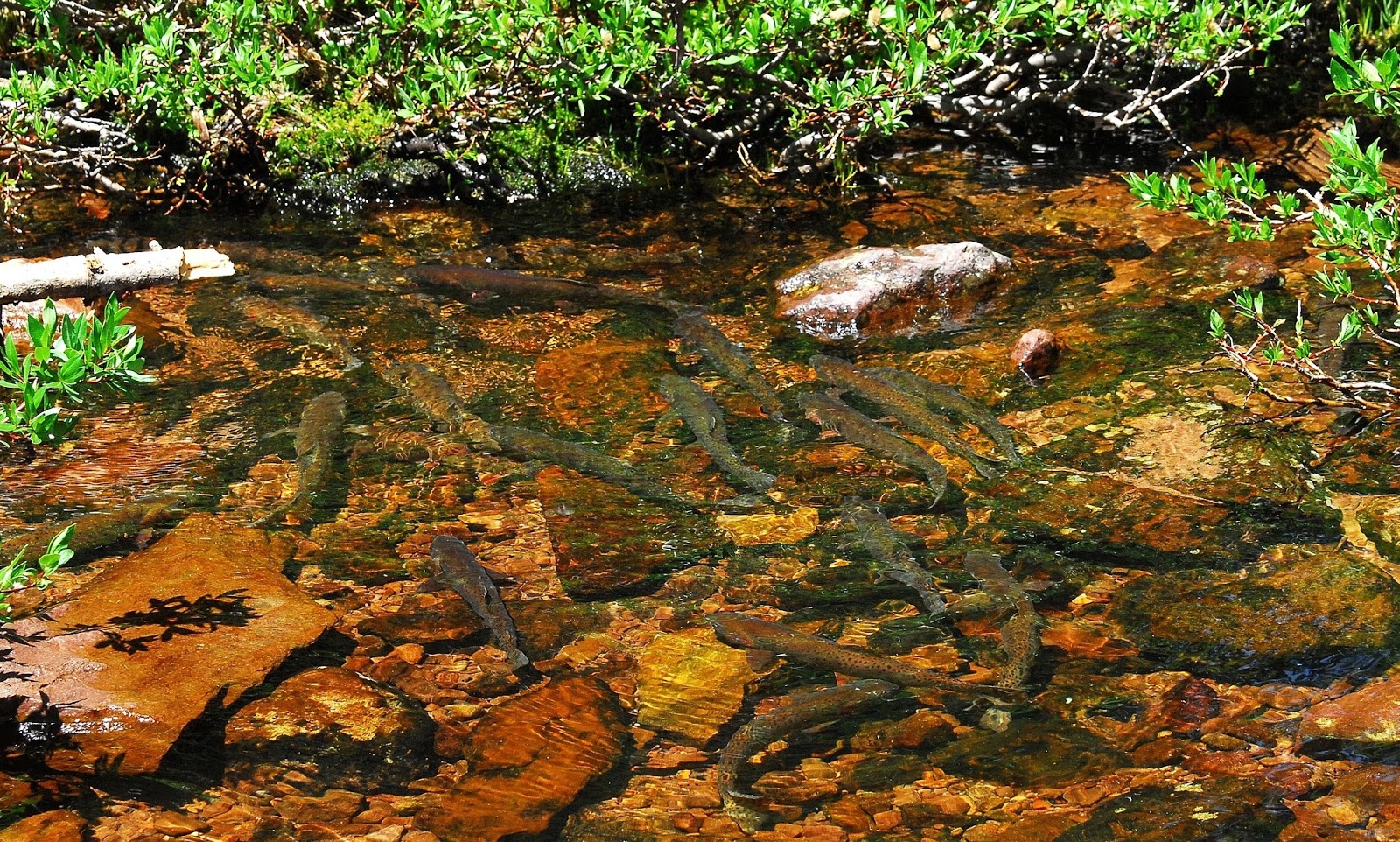
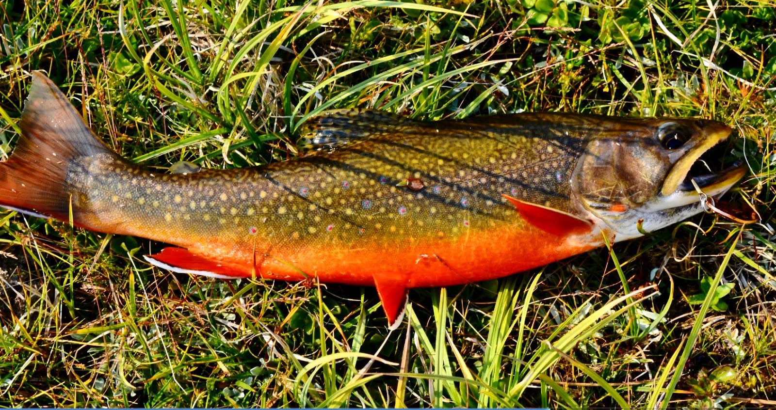
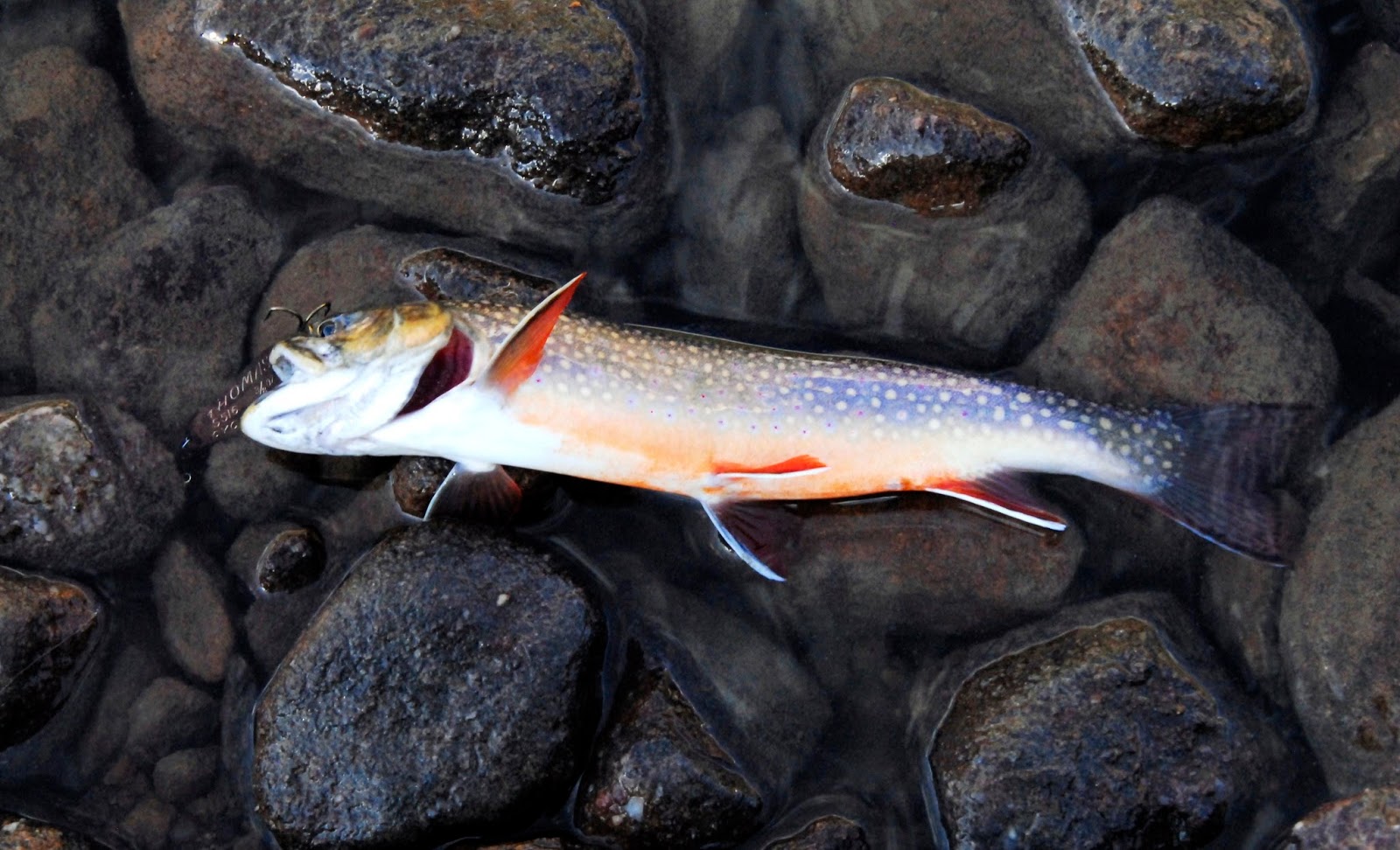
For a while, nothing, but all of a sudden a fairly large trout followed my lure, so I persisted….and eventually saw others, which I couldn’t identify, and then began catching some of them.
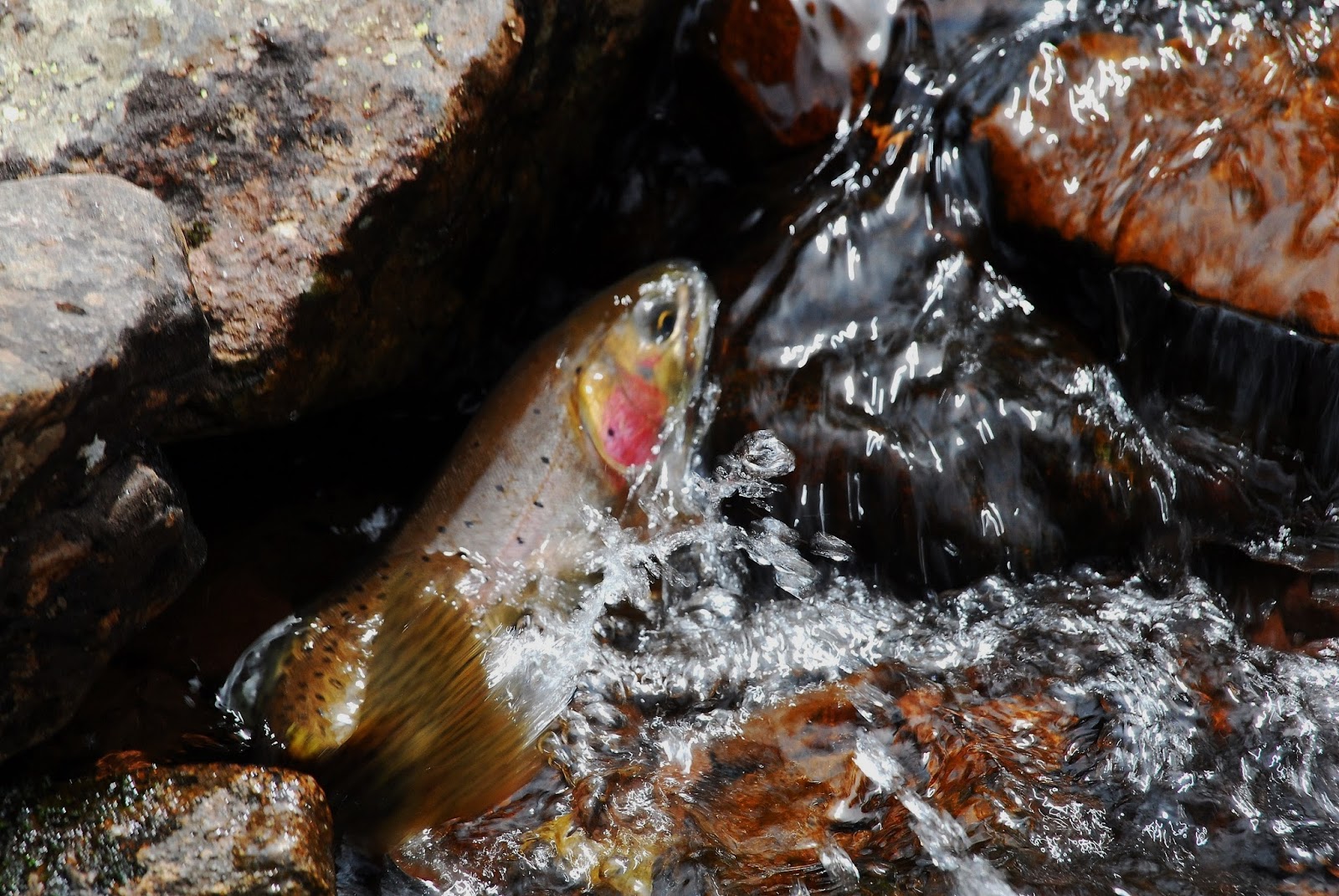
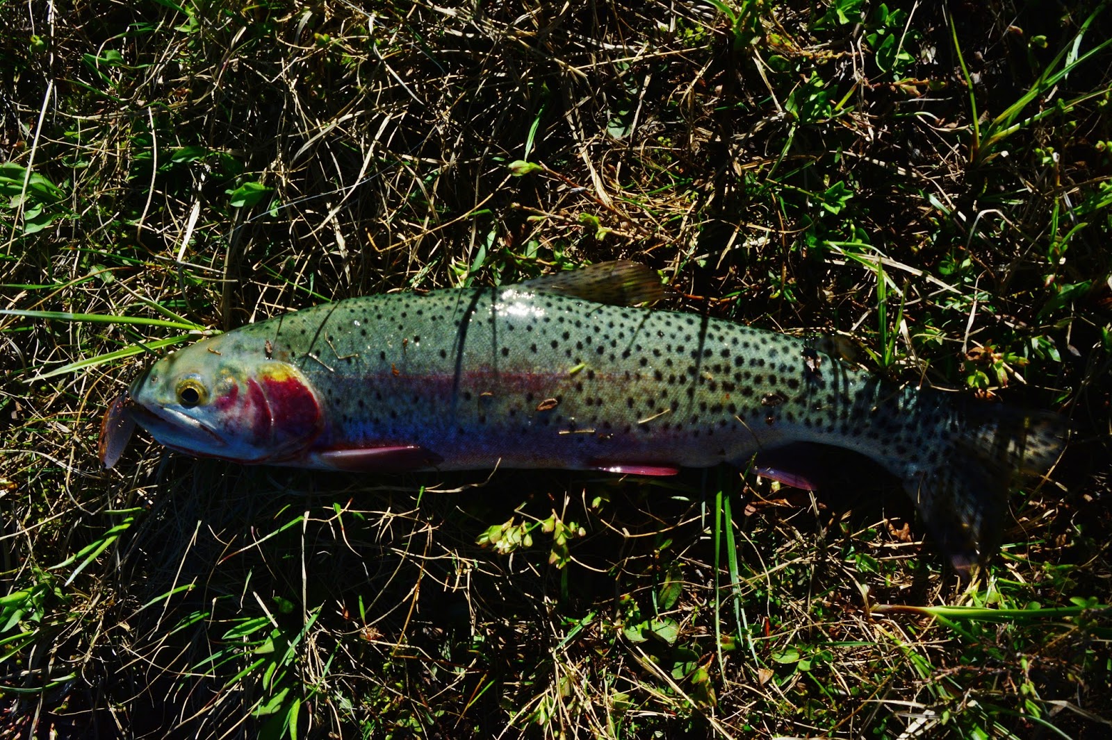
They first appeared to be rainbows, but then the one below had the slash under its jaw, like a native cutthroat. I was a bit puzzled.
Once home, I emailed Roger Wilson from the DWR, and sent him a picture or two. He replied yesterday saying:
This appears to be a Strawberry cutthroat trout, which is the cutthroat we stocked in the past in the Uintas. These fish were taken as eggs from wild brood-stock in Strawberry Reservoir that were primarily Yellowstone cutthroat trout with some rainbow hybridization and perhaps a little Colorado River cutthroat influence. We suspended stocking these fish in the late 1990’s because we wanted to utilized the native cutthroat in stocking programs in the High Uintas which is the Bonneville cutthroat trout in the Provo, Weber and Bear River Drainage; and Colorado River cutthroat trout in the remainder.
The fishing foray had me returning to camp feeling sick, and very weak!
HAD TO GET OUT OF THEIR & SURVIVE
The truth is that I really felt SICK and WEAK….too weak to be able to get out of there. It was so bad I hesitated taking my tent down thinking I would have to camp out there for a couple of days…maybe taking my emergency anti-biotic treatment, and giving it time to work.
This was not a good place to be sick and too weak to hike with a load on my back. I certainly didn’t want to create havoc in the family letting them know I had a serious problem. I reflected on my friend Brett Prettyman, Outdoor Editor for the Salt Lake Tribune, who always believed I was doing wrong going alone on such backpacks into remote areas. I replied to those concerns in a post on my website related to the Salt Lake Tribune article he published about me.
In fact I have always said I myself would be AGAINST ANYONE DOING THIS…UNLESS THEY TOOK ALL THE PRECAUTIONS I TOOK!
THE SOLUTIONS?
I reflected on my recent posted article THE ANTI-AGING CHALLENGE and focused on the first of two points that have saved me many times:
ONE, I prayed with real emotion as though I was totally incapable of saving myself, that led me to the next point I explain in the article….
TWO, I exercised my faith to “take up your bed and get up and hike” recalling in my mind the recommendations I make in the article to overcome serious health problems, as though it was all up to me. So I did the following:
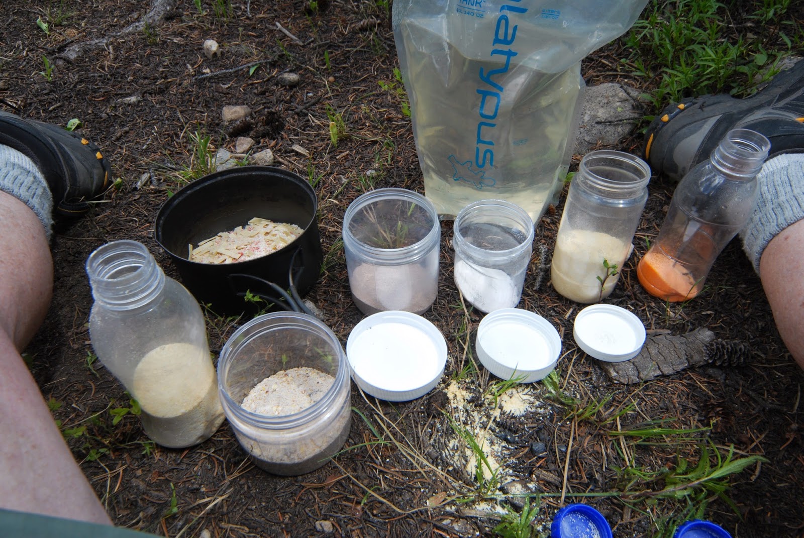
1. Prepared a 20 oz. drink of two electrolyte replacers.
2. I added to it 5 gms. of Calcium/Magnesium the importance of which I explain in the article.
3. Along with that drink I swallowed 5 gms. of Glutamine, the importance of which is also explained.
4. I also downed one DEFENSE PLUS tablet, and 6 WELLNESS FORMULA capsules, which was to be done at the first signs of “imbalance,” plus my normal vitamin/mineral supplements.
5. Then, knowing I had to add food to the supplements to avoid stomach upset, as well as drink lots of water, I quickly ate my breakfast of a Nutty/granola cereal with a rich egg nog mix as the milk.
6. I ended all of that breakfast with a couple of Exedrin (the cheap Walmart equivalent), and then….
…..I exercised my faith, packed up, shouldered my load, and carefully headed up the mountain. “Carefully” so as to not let the sickness know that it had a great chance to knock me down for the count! I hoped to at least get down to the trail at the outlet of Pine Island Lake.
From Margo Lake, I veered to the left, or east, to avoid the steep cliffs on the west. This was my “trail,” out of there to civilization.
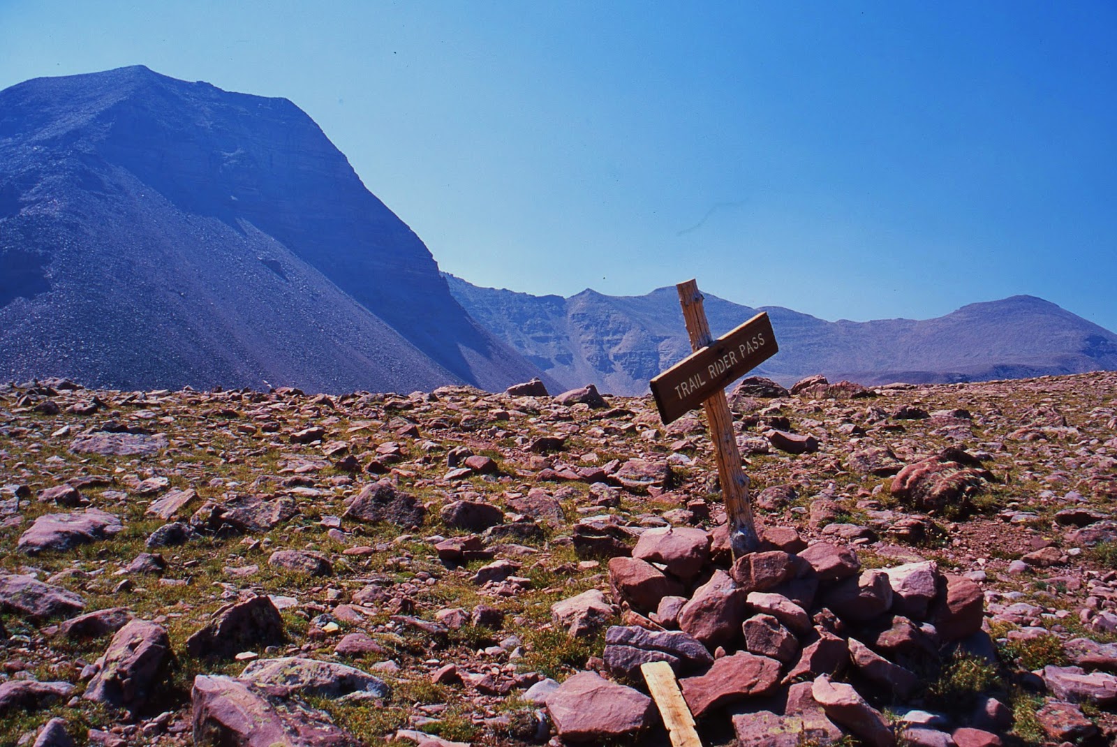
Soon, a lot quicker than expected, I was at MARGO PASS about 10,600+ ft. in elevation–about the same as Hades Pass. I never felt sick during that climb, nor weak, and then took off my pack and went down to get a few pictures out over the Uintas.
So here we are on MARGO PASS (my name, of course), looking towards Mt. Agassiz, and the Naturalist Basin.
We are zooming in again on the Naturalist Basin, this time showing the waterfall from the upper level and Blue Lake.
We do an extreme zoom-in on the waterfall and Blue Lake, in the eastern shadow of Mt. Agassiz
Back to the south side of MARGO PASS, we look down on PINTO LAKE.
It worked out to be a mistake, but I headed straight down the mountain towards Pine Island Lake…..“mistake” as bushwhacking down on the lower level became very difficult and tiring…..of course I entertained myself as I moved along “carefully.”
This mushroom shows the beginning of another important characteristic to identify mushrooms…a seeming sqirt around the stem, in addition to “gills,” very possibly indicating this one is poisonous.
It took me a while, with frequent rest stops, but I was gradually getting around this quite large and picturesque lake.
Here we see another quite common life form…which I’ve got to work a little to identify.
As I was hiking I was sucking on some German Candies that Laura gave me. Once on the backpack a High Uinta Friend saw me putting one in my mouth and was shocked…thinking that he saw me putting in my mouth what you see next….
Honestly, there is some resemblance to deer and elk droppings you see below!!!!
Hey, I’m a “weird old guy” but not that strange!
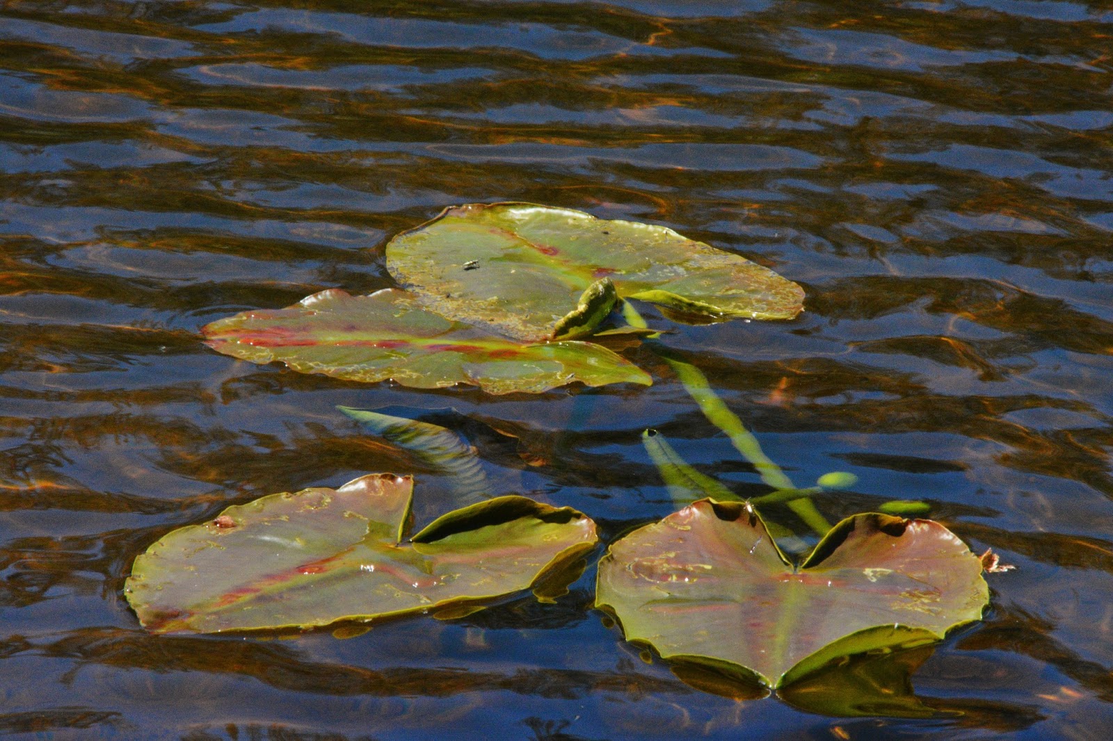
I finally made it to the trail, and then to neighboring Lily Pad lake, with the lily pads just beginning to develop.
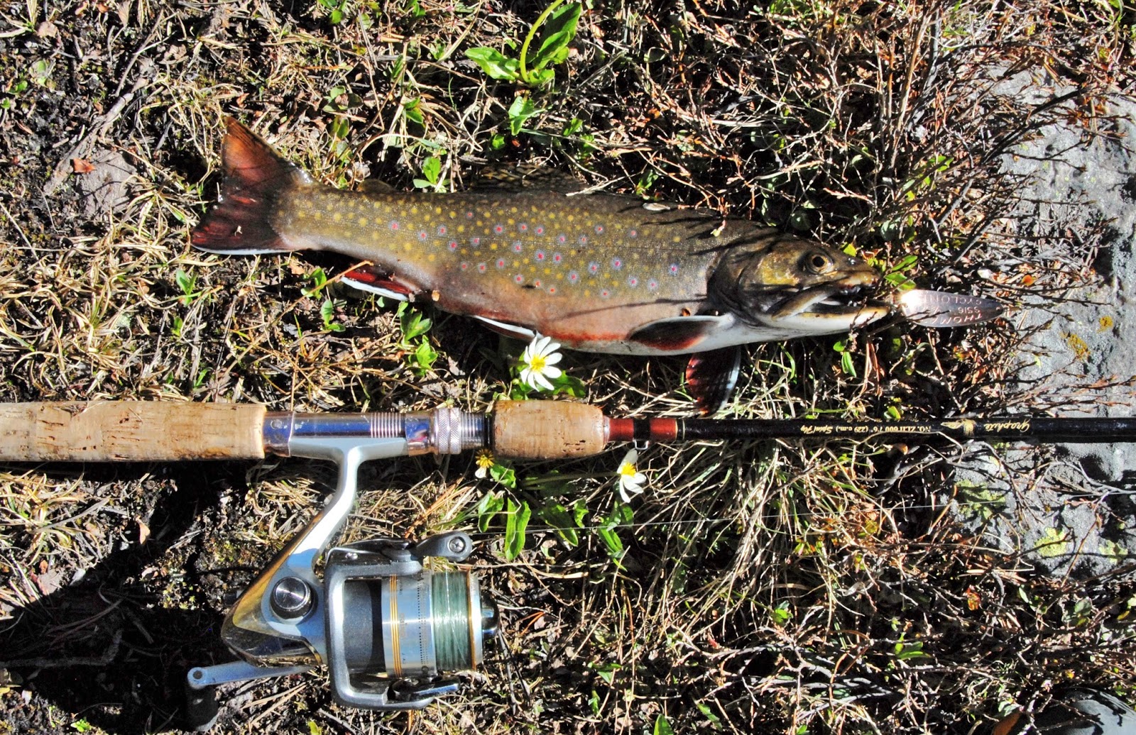
Here is a Lily Pad brookie….a bit more colorful than other brookies caught–but the most colorful are still from Porcupine Lake in the Oweep drainage.
From the southeastern shore of PINE ISLAND LAKE we look across the lake to MARGO PASS, which you’ll notice, isn’t much of a pass…yet an important goal for me that day, June 19th.
Here we zoom in a bit on MARGO PASS, and for a relaxing moment soon have on a PINE ISLAND brookie.
But, I was feeling incredibly good, and soon headed down the trail towards Fish Hatchery Lake, where I thought it best to camp for what for me was a historic day.
Soon I could get glimpses of Fish Hatchery Lake, and moved along to the outlet and moved in for a panorama of the lake with my fisheye lens.
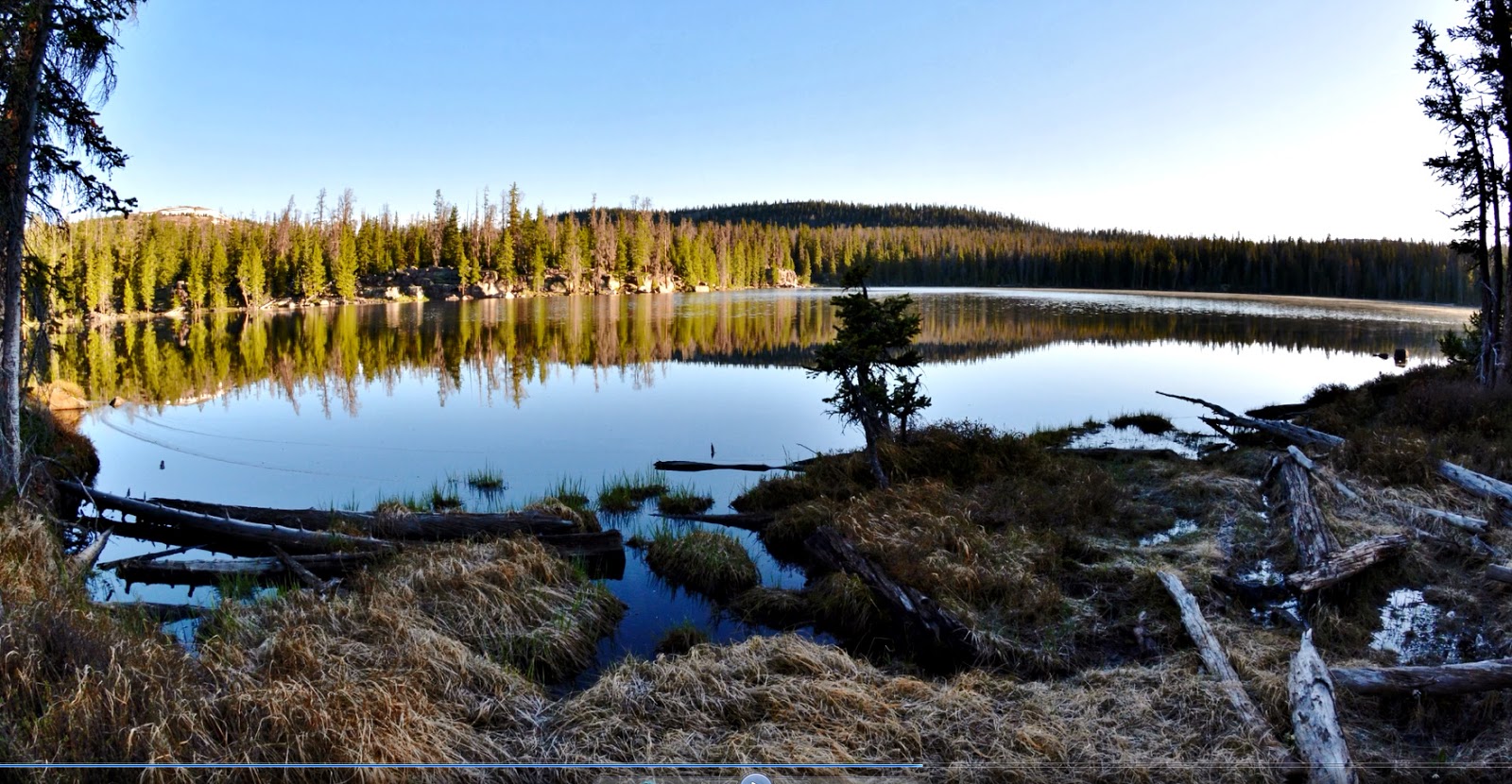
FISH HATCHERY LAKE
……and a FISH HATCHERY LAKE brookie.
I had hoped to get to Pine Island Lake to camp….then felt so good I kept going to Fish Hatchery Lake, and actually took off my pack at the southeast corner where the trail heads up the mountain…. but once again I felt so good, I thought, “What the heck…let’s go on to Betsy Lake!”
Soon I was nearing Betsy and came to the junction where the sign pointed west to Mohawk Lake.
Some of you might have seen my topo map indicating that from below Pine Island Lake I was to leave the trail and bushwhack my way to Farney Lake, and from there on to Sonny and Marsell Lakes, and from there return to this spot on the trail.
But, as an old guy in his 80th year, I have learned my lesson that “bushwhacking” is really a bad option for me. It’s just too hard and fatiguing, unless we are talking about above timberline and dealing with arctic tundra….that I can handle!
But, no more bushwhacking in heavily forested areas…and besides I had already been to Farney, Sonny and Marsell Lakes and had good photographs of the lakes and their fish…so no need.
Soon I was to the sign pointing to Rainbow, had completed my loop, and then found a good camping spot for my 5th night, having done twice as many miles as originally planned, and 100% more than I felt possible that morning–when I thought it impossible to do any at all.
What I talk about in my ANTI-AGING CHALLENGE article really works, in combination with sincere faith and prayer.
To this point I saw my first human beings since Day One.
DAY SIX
On Saturday, June 20th I was up, packed and on my way, first getting a shot of this colorful tree trunk (above) seen on the way in…which you’ll notice I will turn into one beautiful creation for my business card.
At that point I met my first of many new High Uinta Friends for the day….being:
Jared, Ryan, Daniel & Jason. They were on a 50 mile hike.
Then I met Phillip Danon and son, Ethan, on a day hike. Later I saw them coming down and Ethan was happy to have caught 5 or 6 trout.
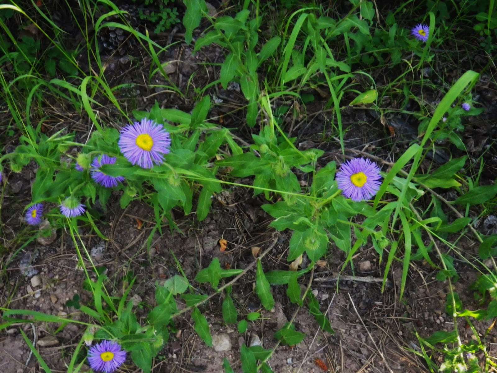
ALPINE BUTTERCUP
ALPINE BUTTERCUP
Next I met a family of day hikers: Scott, and Becky Nilson, along with kids, Ella & Luke. What a great family.
Heart lake was of course free of ice….days ago, with waters a bit turbid from the runoff. Above it is East Grandaddy Mountain, which will be featured in my GRANDADDY documentary opening with pictures taken from up there when I bivouacked there on my own version of the “Inteligel Bed!”

Up near Hades pass I met Ben Hughes, and his son Jesse. Jesse, from Hades Pass, wanted to climb up onto East Grandaddy Mt. for the view. I told them some of my experience up there confiding that it is the most overwhelmingly beautiful mountain scene in all of the Uintas. But recommended they do it from the other side, South Rock Creek, as I had done 3 times.
As it worked out, they did it from the Pass, and told me about it on the way down. When asked what they thought about the view, Jesse’s faced lit up which said all that was necessary. Later, they emailed me the following:
It was so good to meet you on the trail on Saturday when I hiked to the top of East Grandaddy with my Jesse Benjamin. We were shooting photos with disposable cameras with film (can you believe it?). We will send you a digital copy of our shots from the peak if you are interested in seeing what it looked like that day.
Looking over the Grandaddy Basin from the top of the mountain was a sublime experience. Jesse and I had camped in the Naturalist Basin below Agassiz when he was 14 and since we could see that basin from East Grandaddy it was the perfect way to bring the two trips together now that he is 17.
New friends from the trail,
Benjamin Hughes and Jesse Benjamin Hughes

Then I met Nick & Whitney Chatelain. Whitney was on her first backpacking adventure.
Up near the pass I took a short-cut, then looked back to get a telephoto shot of PATRICK SVEDIN & his friend HEMP.
They came up where I was to exchange information, and get another photo.
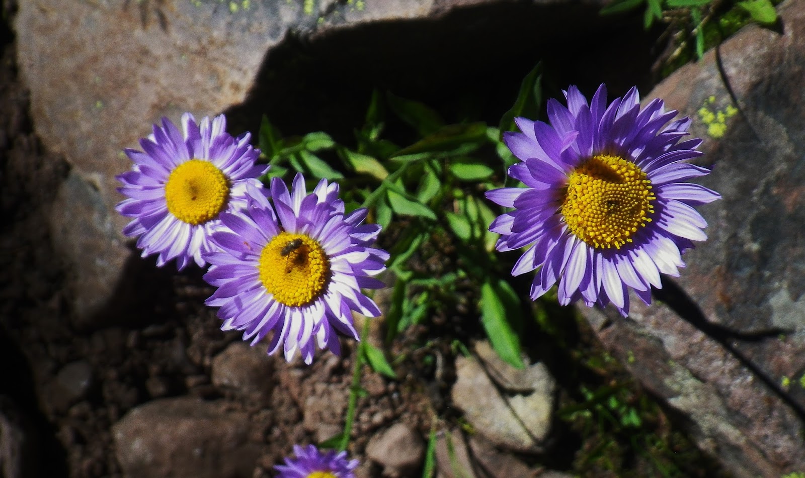
A bit over the pass and down the other side I came upon a literal forest of White Globe Flowers, and couldn’t resist another couple of shots.
Down at the little stream where one can get good water, I rested a bit, and observed the parade of outdoor lovers working their way up the trail.
Then came THE NORTONS
MERRITT, TENNERY, SETH, MERRITT, & JUSTIN
I’d met the father before, and we had a great conversation and Tennery wants to get me on her BYU Radio show. We agreed that the JAZZ are going to have a great year in the NBA!
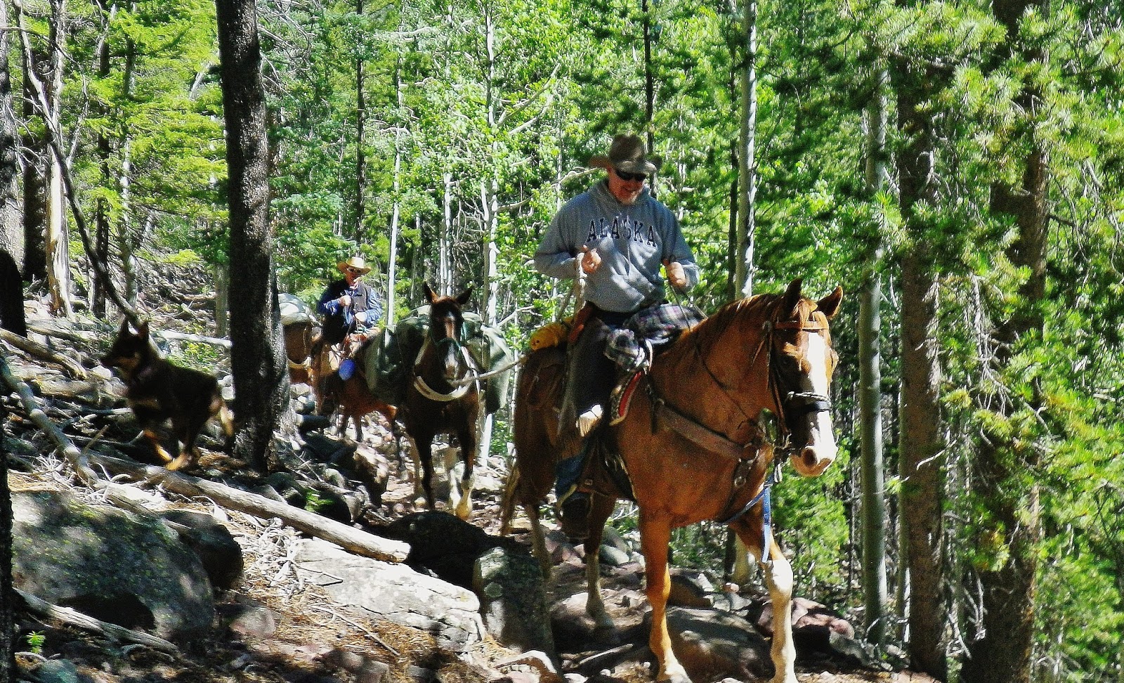
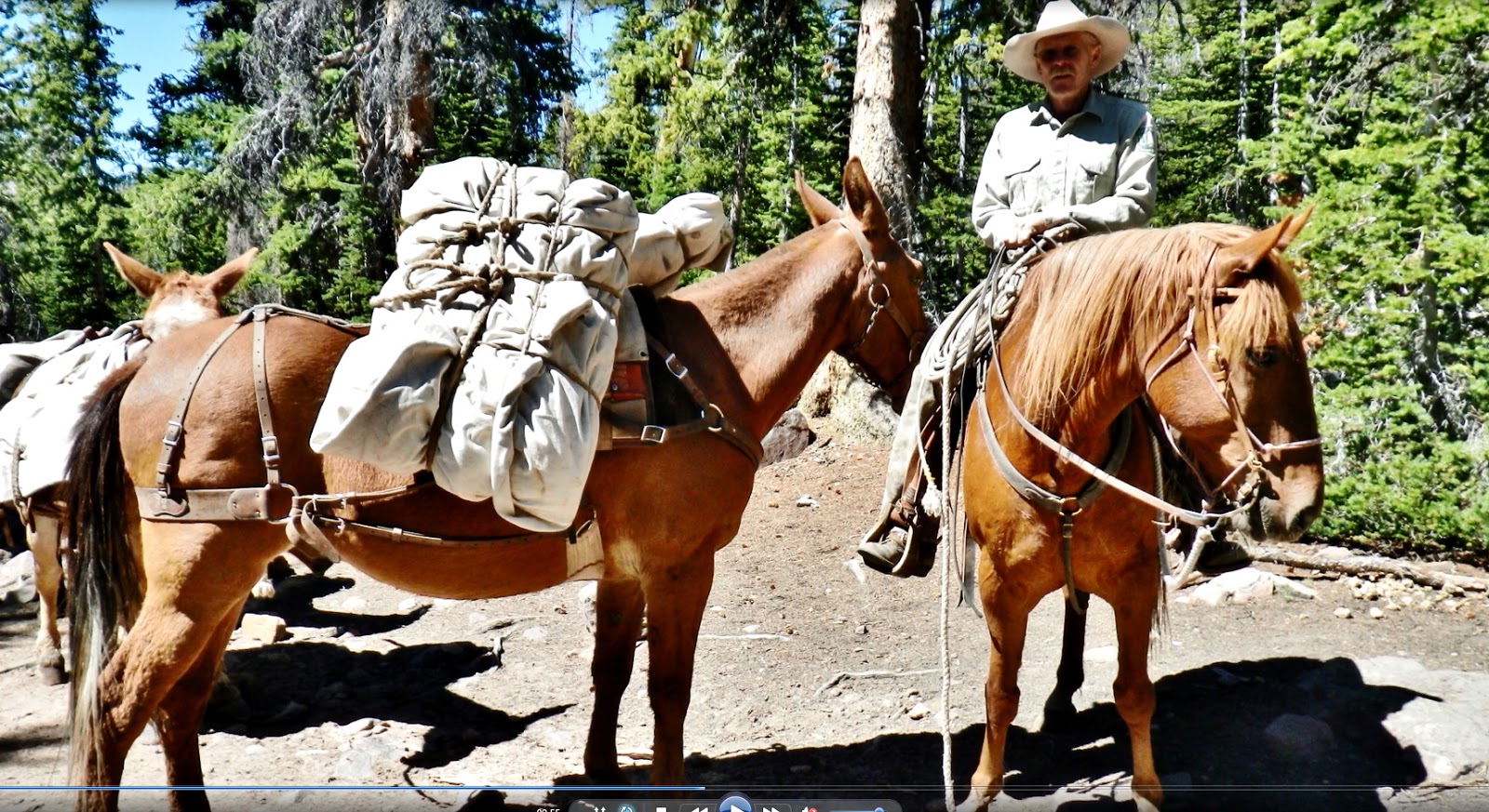
These outdoorsmen on horseback included a fellow from North Dakota who was surprised to find “pine trees” in Utah. He was having an eye opening experience.
Heart leaf Arnica plants were sprouting all the way in.
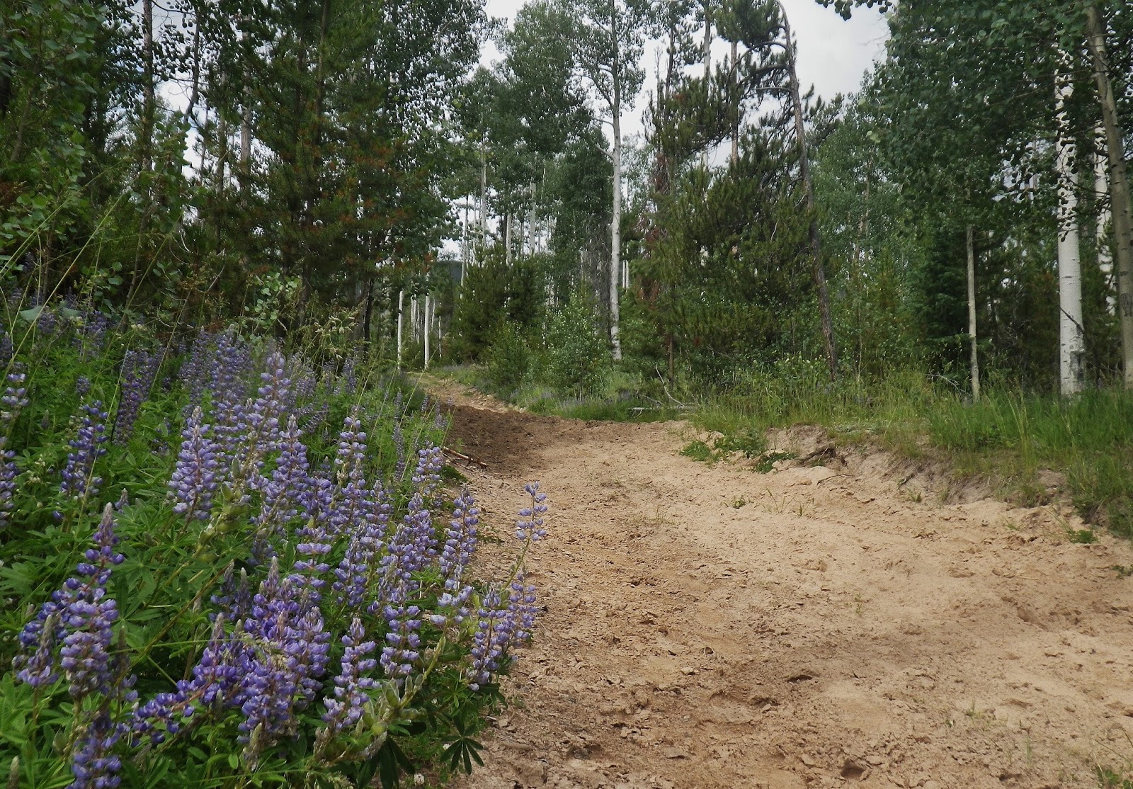
Now on the way out, the flowers were in full bloom.
Finally made it to the Trailhead, and nearly filled up parking lot. Had done 6 days, doing somewhere between 26-30 miles. I learned that for the future I had to get my pack weight down, and since I am sort of a prisoner of the “stalking pace” trail speed, will have to re-evaluate my future plans and focus on just those critical backpacks necessary for eventually putting it all together into a unique package like doesn’t exist on the High Uintas.
I was deeply grateful for the wonderful experiences had, and maybe especially for that “survival experience” that had me remembering my own advice in my ANTI-AGING CHALLENGE: A Fun, Humorous, Tough but Wonderful Jounrey, writing, and had me partnering up with the Lord in not only being saved, but ending up doing twice as much that day than planned for a healthy me.
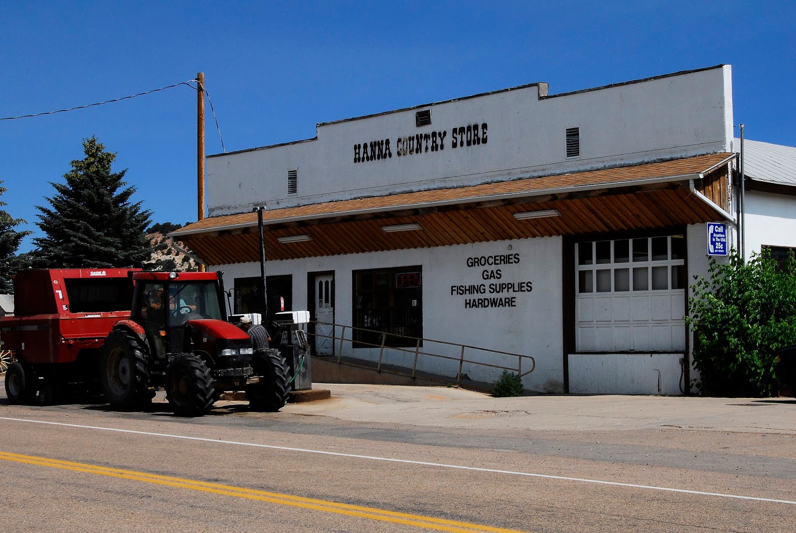
I was soon on my way to Hanna and the Country Store and its potato slabs & friend chicken, but they were out so crossed the street to the CAFE.
….ending up with fries and a hamburger.


