In 2011 it had become so difficult that I ended one video report with the Forest Gump conclusion who, after running around the country for like 3 years, turned to his little group of followers, and said:
Nevertheless I kept trying my best to follow Winston Churchill’s advice to:
“NEVER, NEVER GIVE IN!”
I persisted in announcing plans of more backpacking really putting me on the spot asking the question whether I might be successful or rather was “JUST SO MUCH HOT AIR?”
By 2012 I tried back surgery and did my darndest in my 77th year to chronicle my efforts of working hard with a series of “COMEBACK” videos that evolved into a video entitled “FAKE NOT BEING A CRIPPLE!” But, with no backpacking in 2012 I was maybe “JUST SO MUCH HOT AIR?”.…or really just an old guy!
In 2013 a miracle was done with hip replacement surgery and I was without pain for the first time in 30 years….did 125 miles of exhilarating backpacking, plus visiting many beautiful places in Utah and Wyoming meeting a whole host of wonderful people, and speaking about my beloved High Uintas in Evanston.
I made exciting and enthusiastic plans for 2014 with my “DREAM LIST OF BACKPACKS” that have been on my website for nearly 6 months, along with what I was doing to be strong and capable of doing them. In April, in my speech at the Coalville, Summit County Courthouse, I admitted that to “dream” of doing such in my 79th and 80th years was perhaps just a little much, but that I had to try and see how it went.
But, then I made a horrible decision accepting a topical chemo treatment on my face, scalp and neck for cancer and went through more than a month of hell when I was unable to keep exercising and preparing.
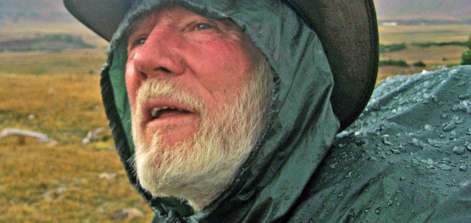
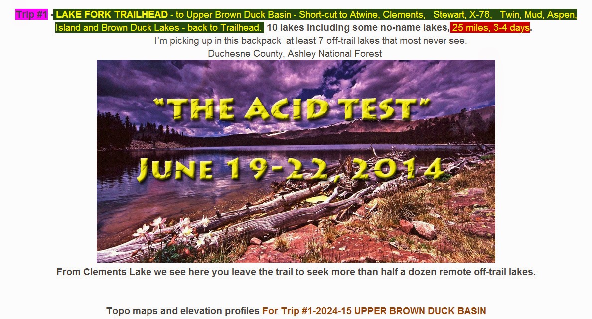
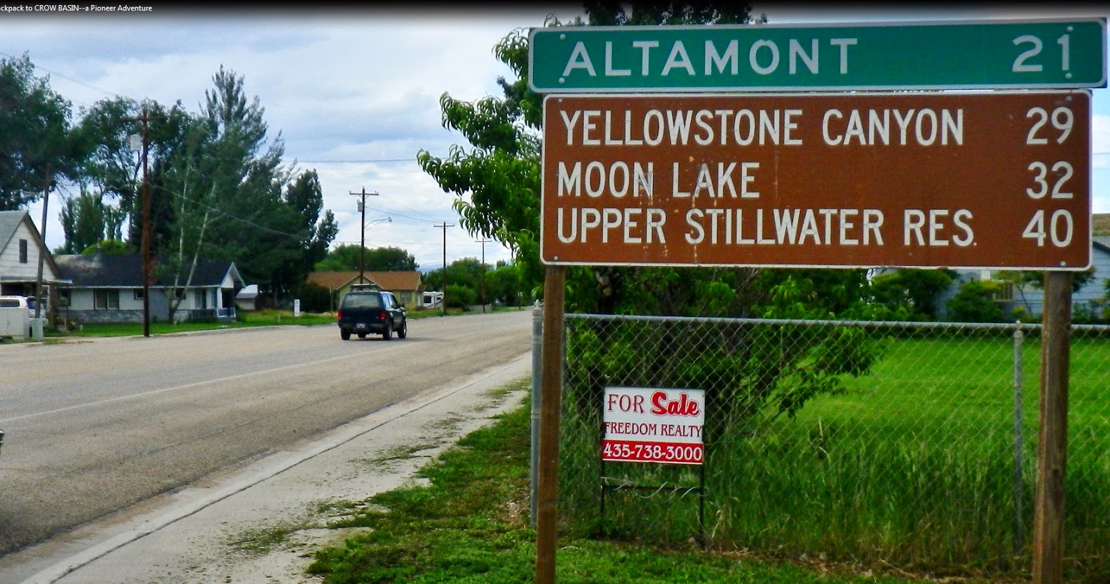
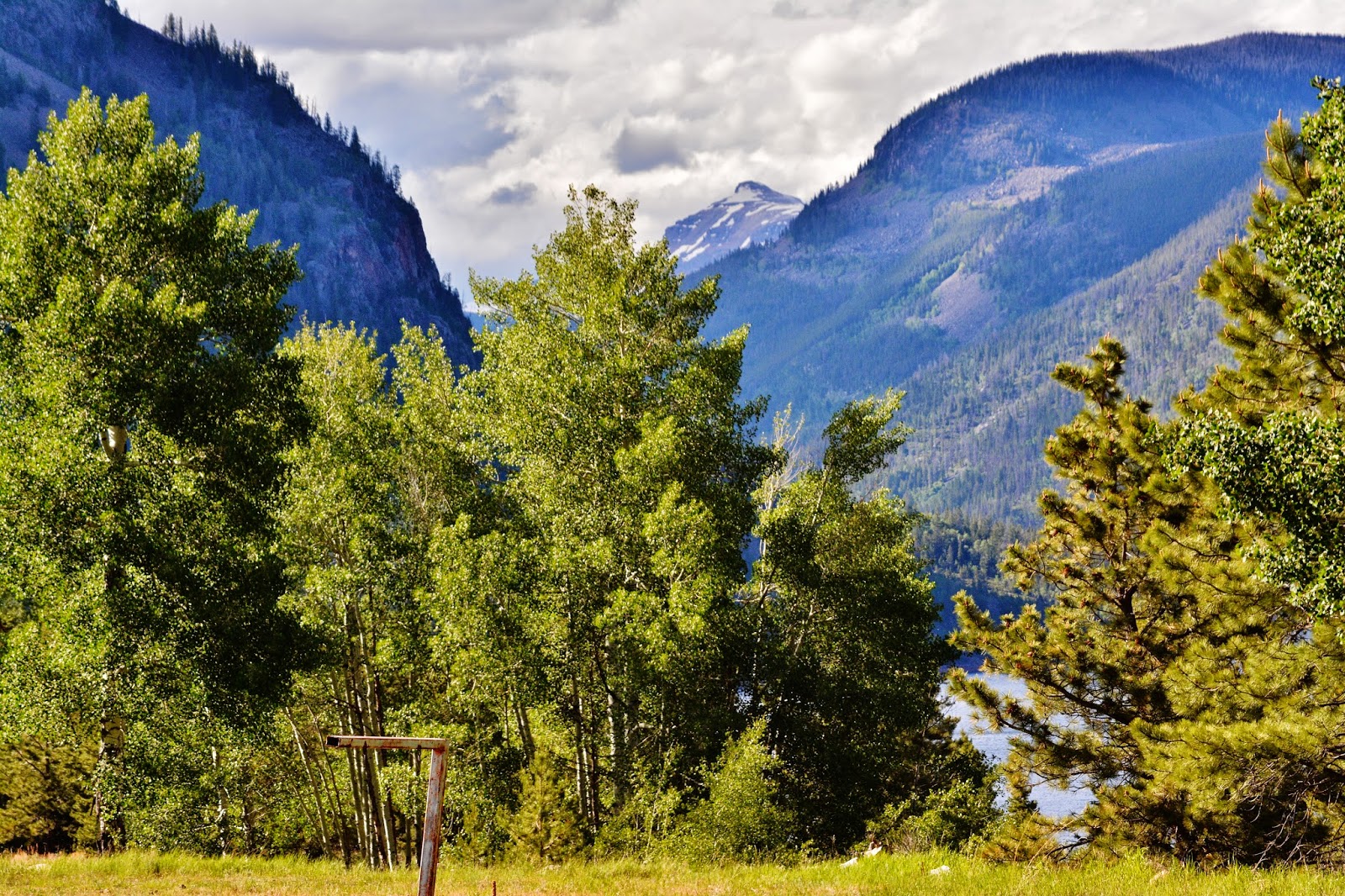
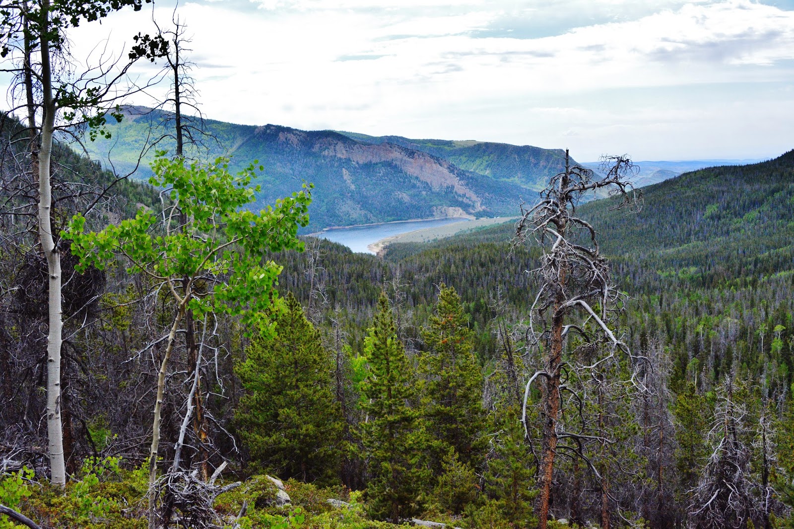
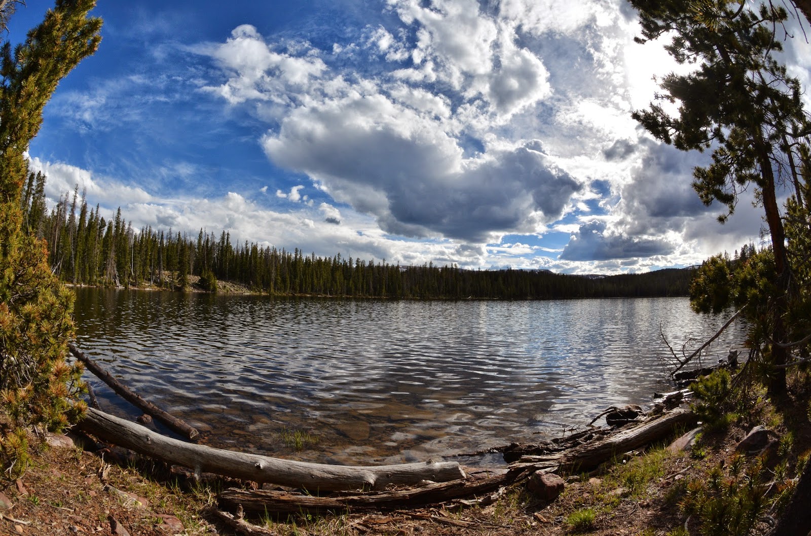
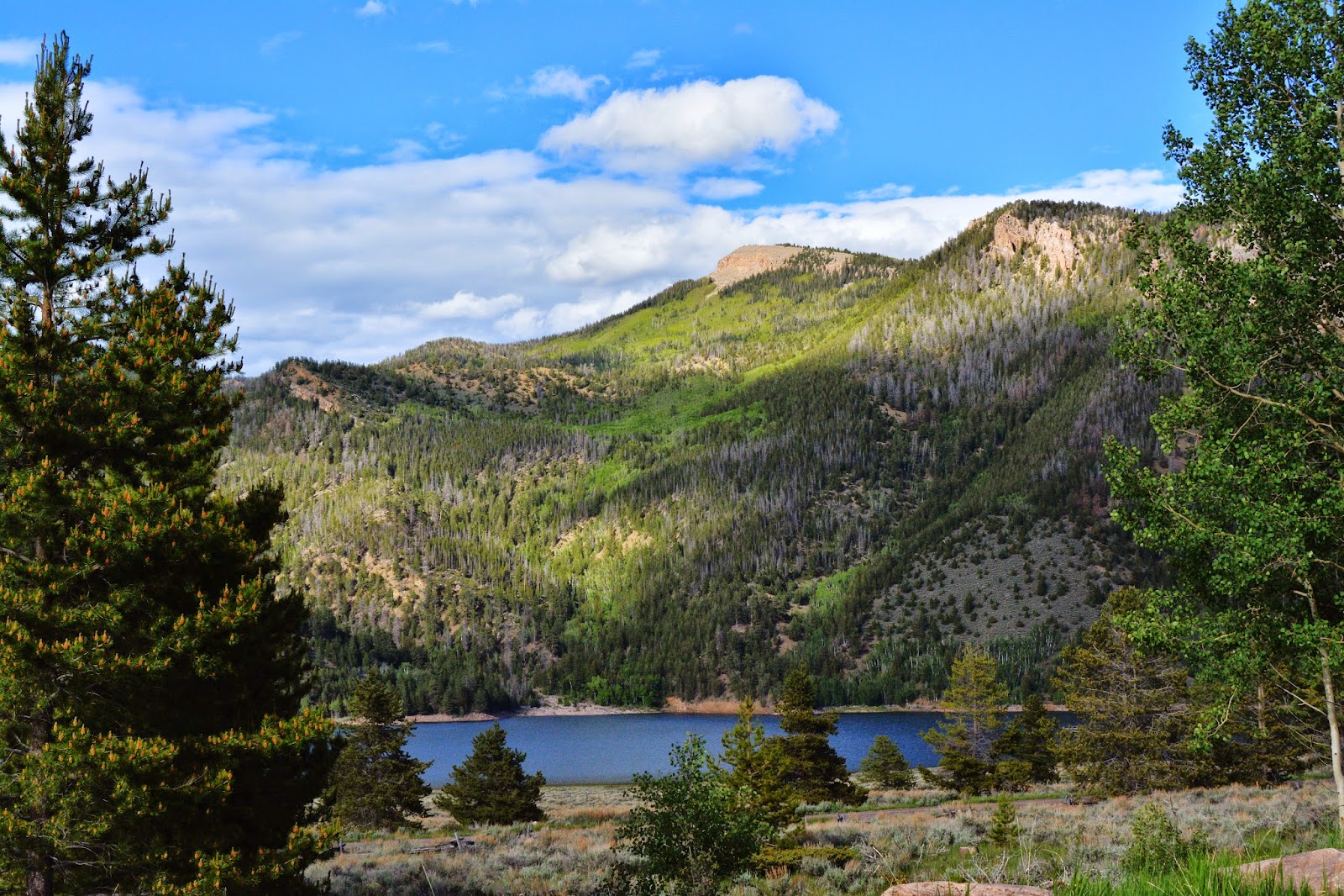
With that backdrop of almost sure failure, I headed for Duchesne on June 13th, and did some research while waiting for the weather to clear and warm, and finally headed for the Lake Fork Trailhead at Moon Lake on June 18th. By noon of June 19th I was on the trail and want to share with all of you all the magnificent beauty of the South Slope of the High Uintas as I cautiously went up the trail, knowing it would be a real test,“the Acid test,” to determine what my future might be.
I will take you on the trip with me showing the route and sharing with you the awakening of life in the Uintas as I “stalked” up the trail that makes possible me seeing many things….and zooming in on “visions of nature” that many never see. ENJOY, and stick with it to see in the end WHAT THE FUTURE HOLDS FOR THIS OLD GUY!
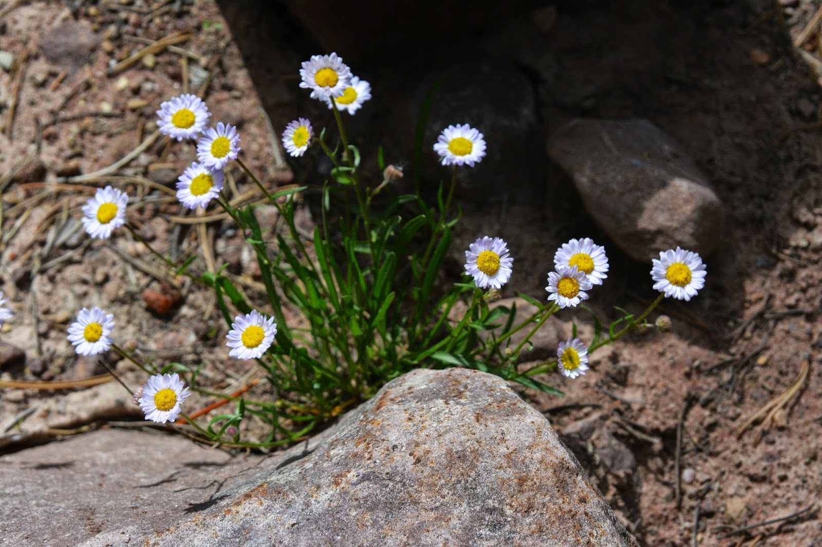
NOTE: Usually I won’t comment, nor try and identify flowers, etc. but just show you what I saw which we will all contemplate in silent reverence & awe.
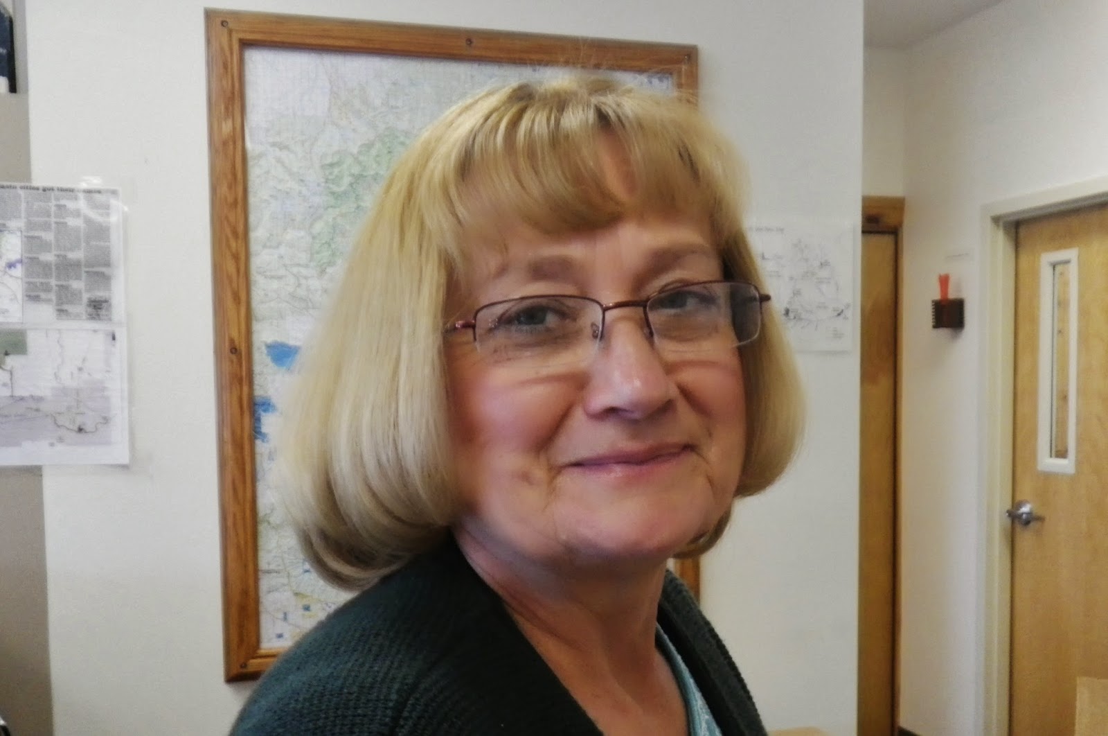
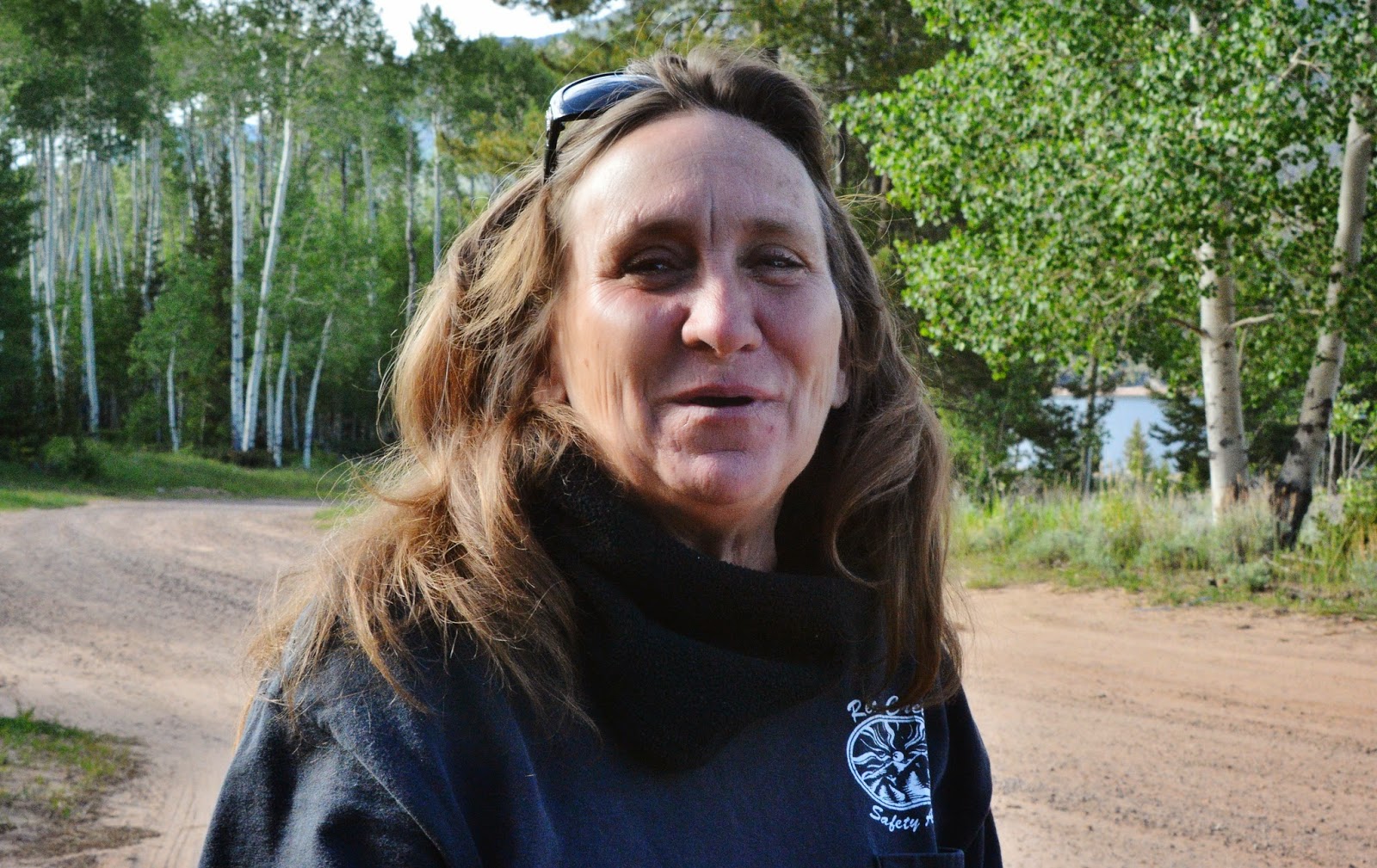
I checked in for accessibility conditions on the South Slope with Sheila, Lori, and Cindy seen below, who is new. I also printed up for the Forest Service a set of photographs of the Crow Basin area that they could show to interested outdoors-men and women.
I learned from Sheila that the Duchesne Ranger Station is responsible for maintaining the trails on the entire South Slope: From the Grandview Trailhead & the Grandaddies, to Rock Creek, Lake Fork, Yellowstone/Swift Creek, Dry Gulch Drainage, Uinta River, and the West Fork of Whitrocks Trailhead–all with only 4 summer employed Wilderness Rangers, and 4 cutters and clearers (or whatever they are called), like the one you see below who I met years ago near Clements Lake. That had me forewarned that I would have to deal with a lot of downfall blocking the trails.
High Uinta Friend, Jori Thomas, had advised me of a weather watching website you see below on my cell phone showing that there had been new snow in the area of my backpack, just the day before. This is updated during each day with a video camera apparently on top of Lake Fork Mountain above Moon Lake. I’ll insert the link below the image. Thanks JORI.
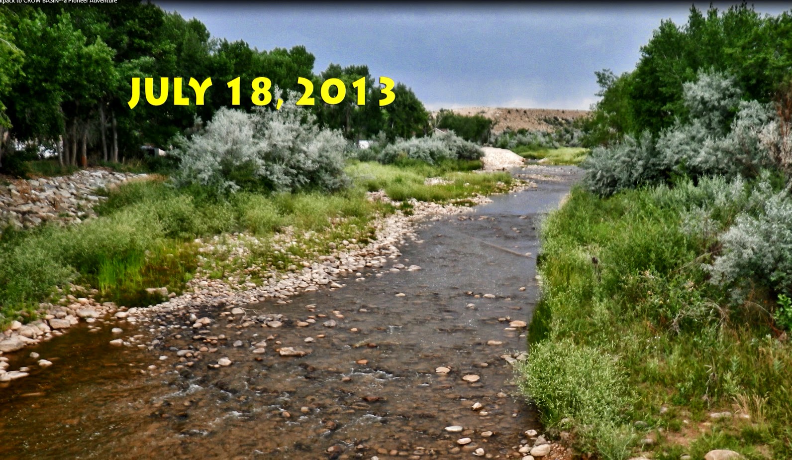
Below are shots of the Duchesne River from the bridge in Duchesne, showing the contrast from one year to another.
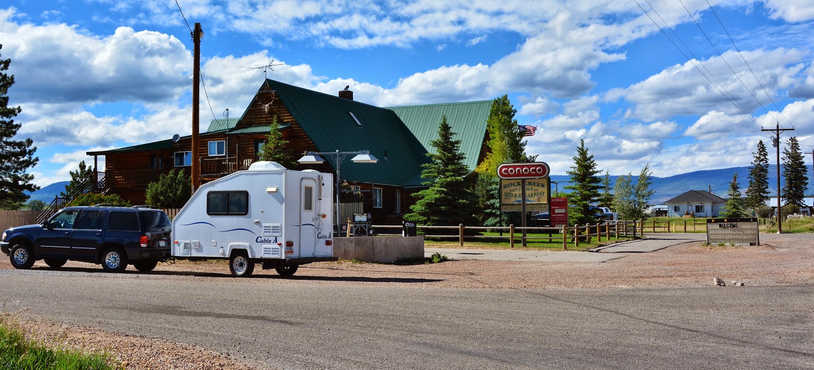
About half way to Moon Lake you come to the nice Bed & Breakfast..Store at Mountain Home.
NOTE: The way I’m headed in this photo is heading for Rock Creek and the Stillwater Reservoir and Trailhead. For Moon Lake you keep heading north.
Here you can get whatever you might have forgotten…and come down out of the mountains to spend a luxurious night in a soft clean bed.
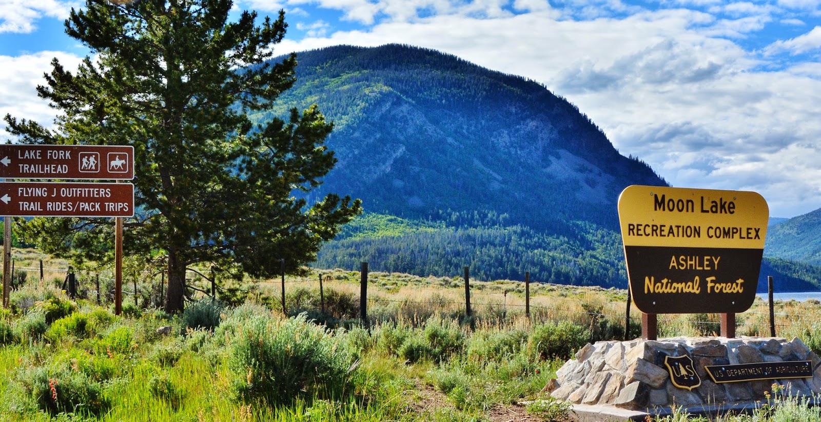
We are looking north towards Lake Fork Canyon, with the tip of 13,219 foot Mt. Lovenia seen on the right.
If you know me you’ve seen this shot before, but this time don’t turn right, but keep on the pavement heading north towards Moon Lake.
From the Trailhead looking up Lake Fork Canyon once again seeing the tip of Mt. Lovenia–the first 13,000+ peak one sees as you come from the west on the Highline Trail.
I was the only car at the Trailhead with most signed into the register just on hikes around the trailhead area.
The Forest Service Hostess is Jan Spencer who mentioned it had been quite cold lately. I should have asked, but soon perhaps that could be a good summer job for me.
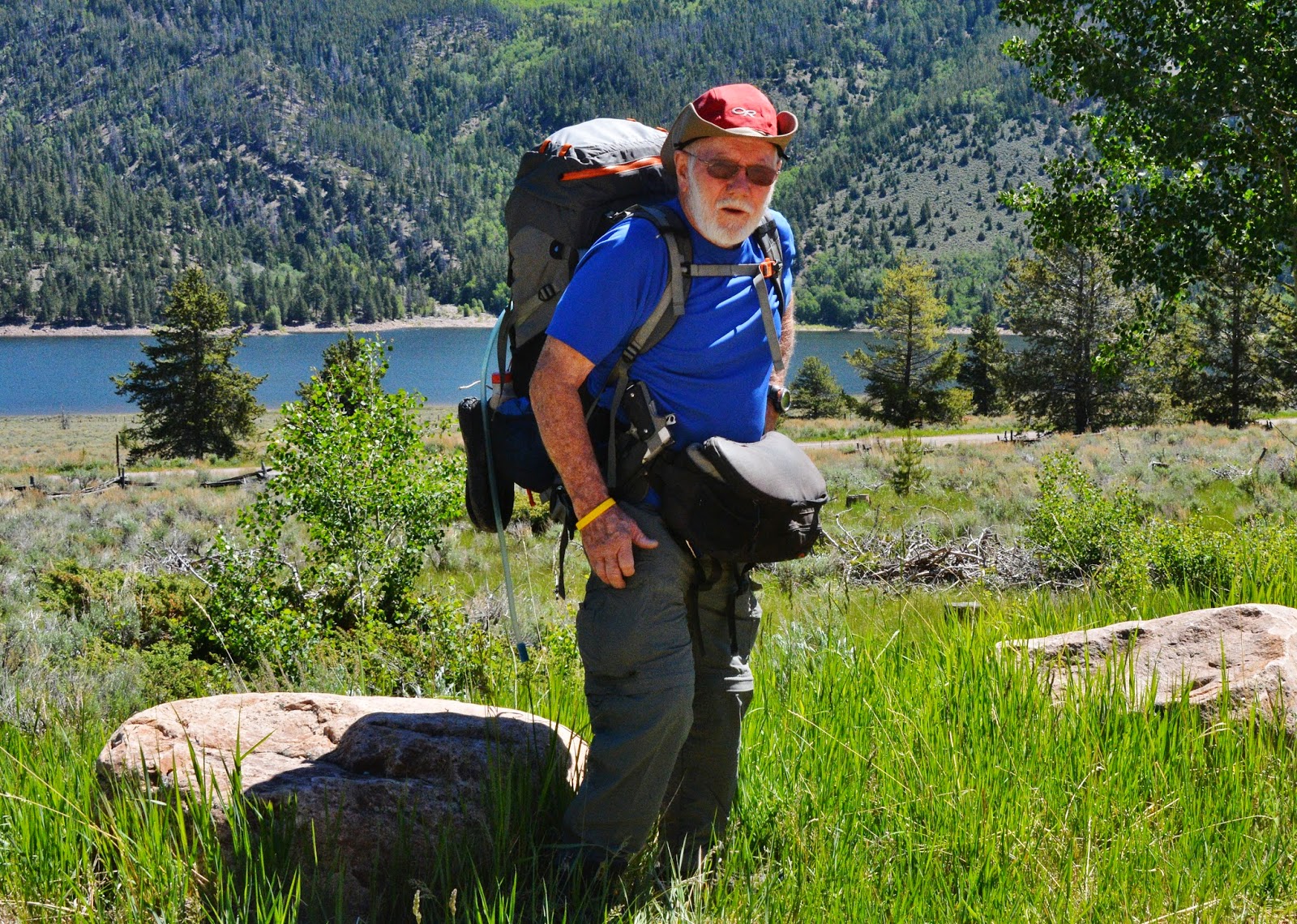
Ready to go carrying food for 5 days, and actually too many supplements and extra stuff I never used. I did leave my tripod….a “NO, NO” for a real photographer, but I just set my camera on a rock or a log! I still went up the trail with 45 lbs. on my back and around my waist, including 2 quarts of water as I recalled the first water from 2-3 miles up the trail.
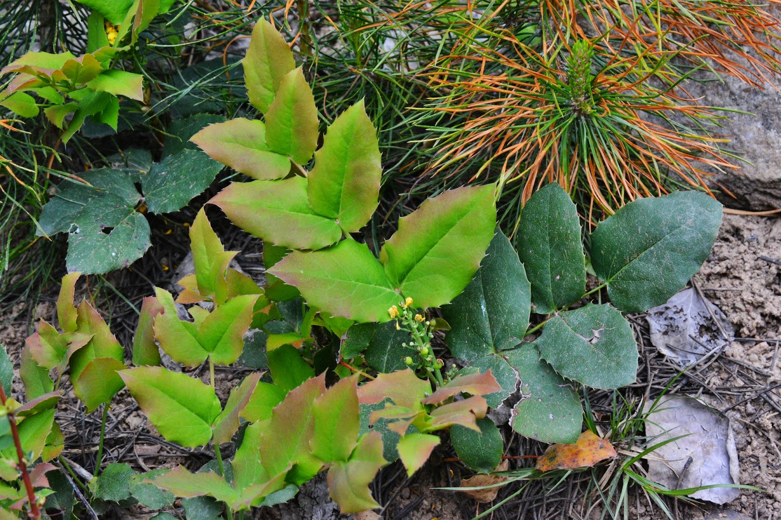
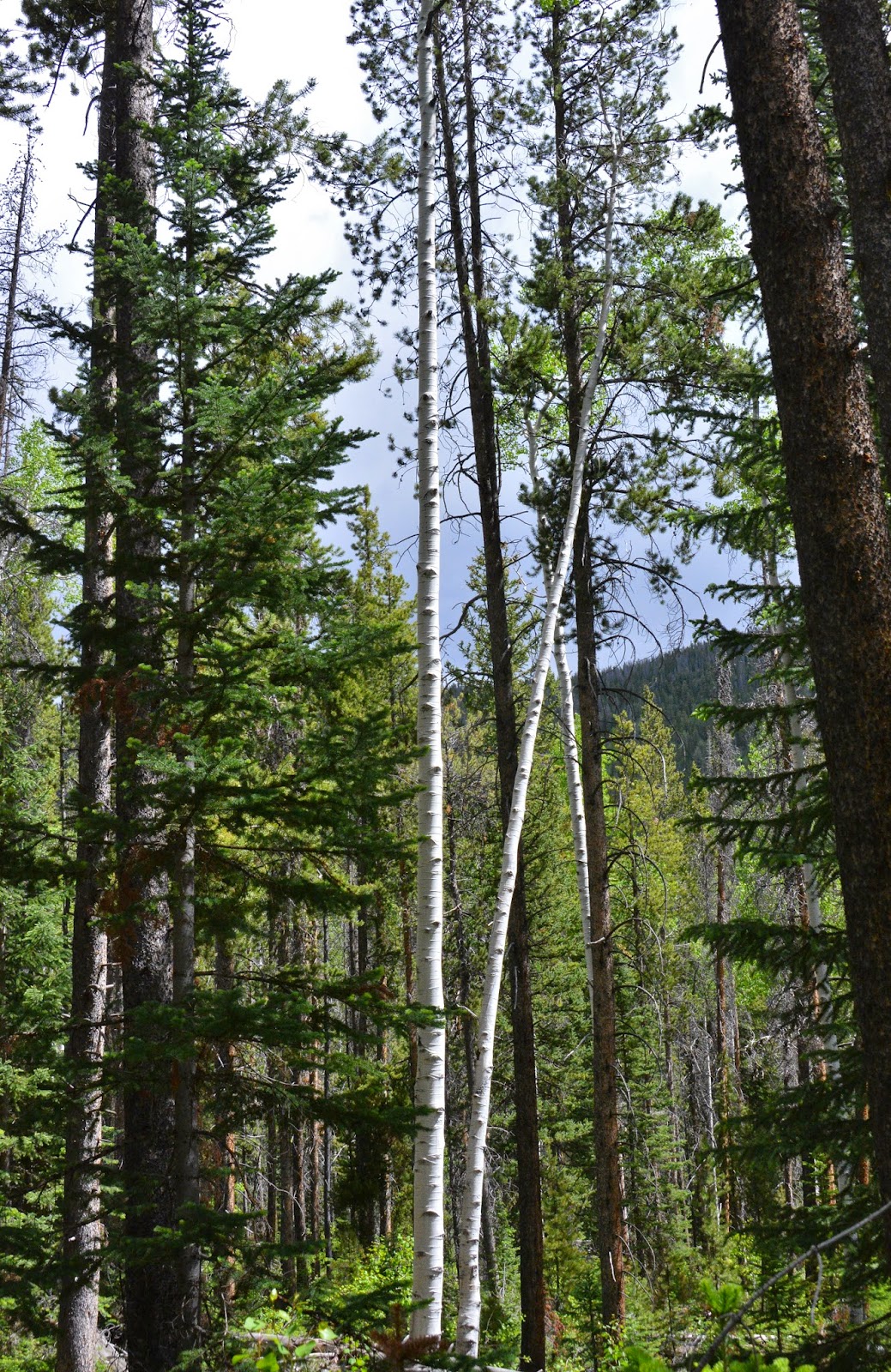
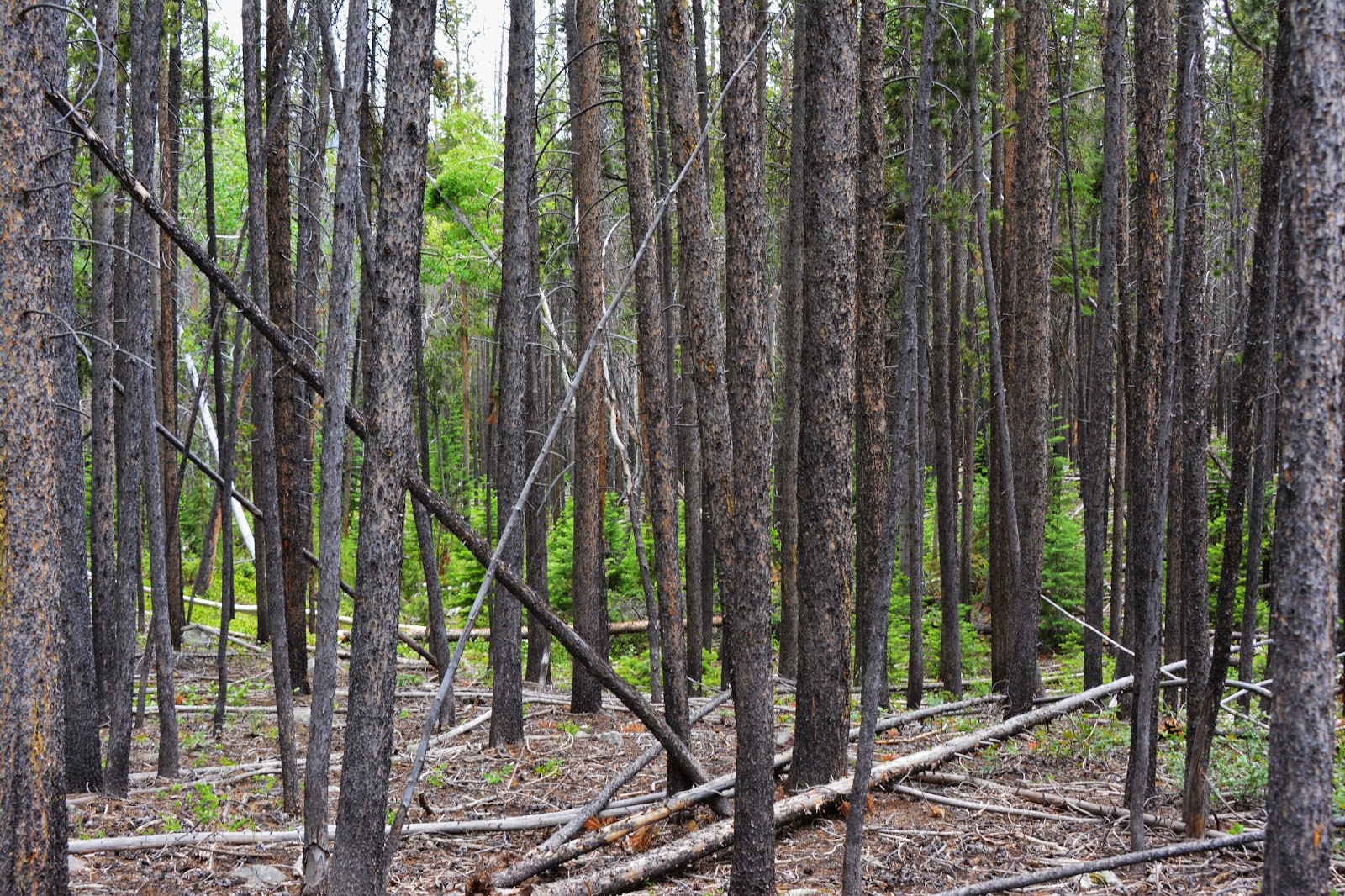
Lodge pole pine forest
Gradually we climb and the forest changes
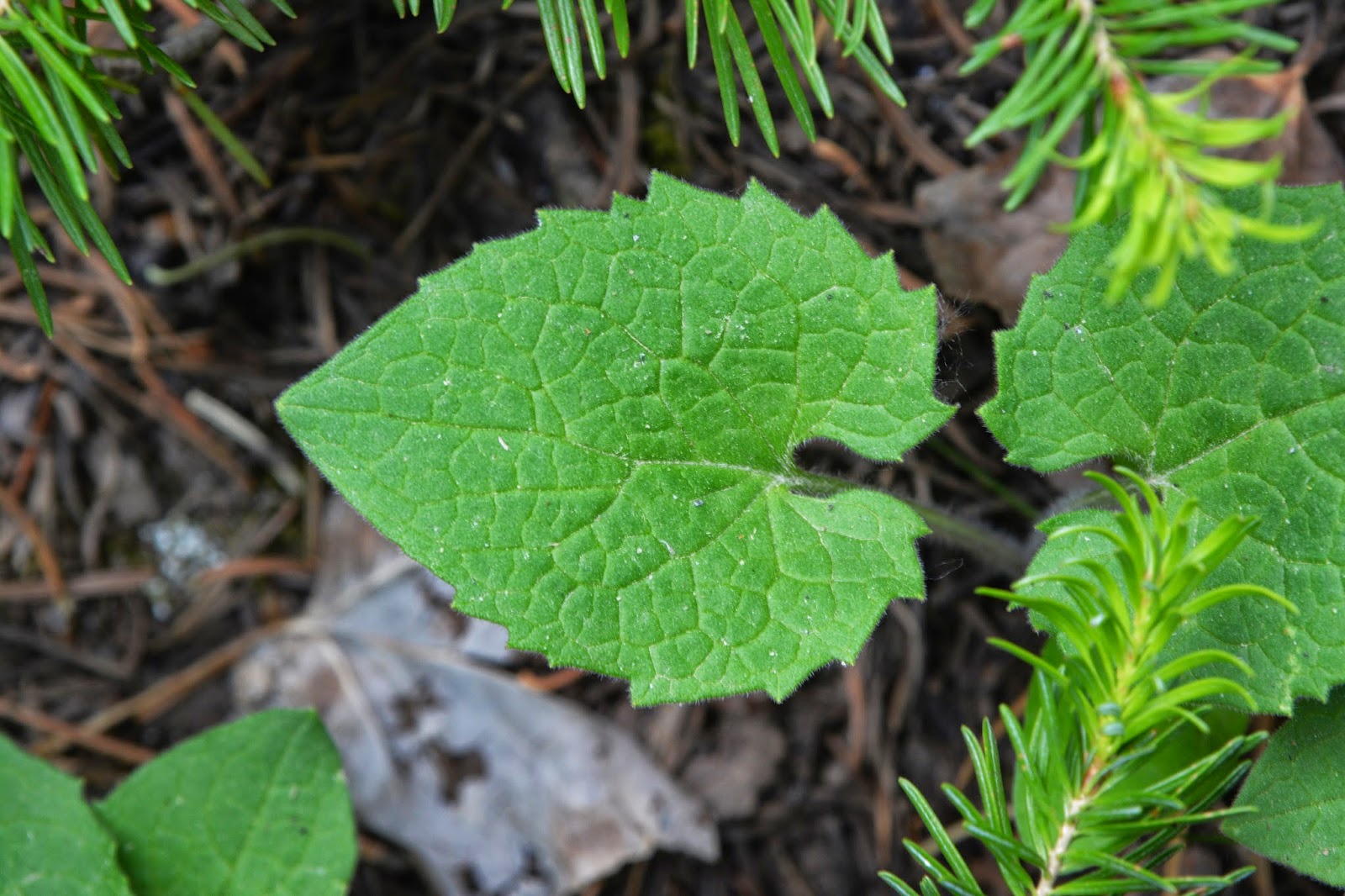
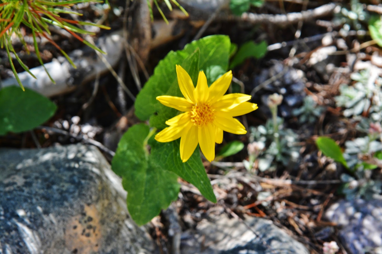
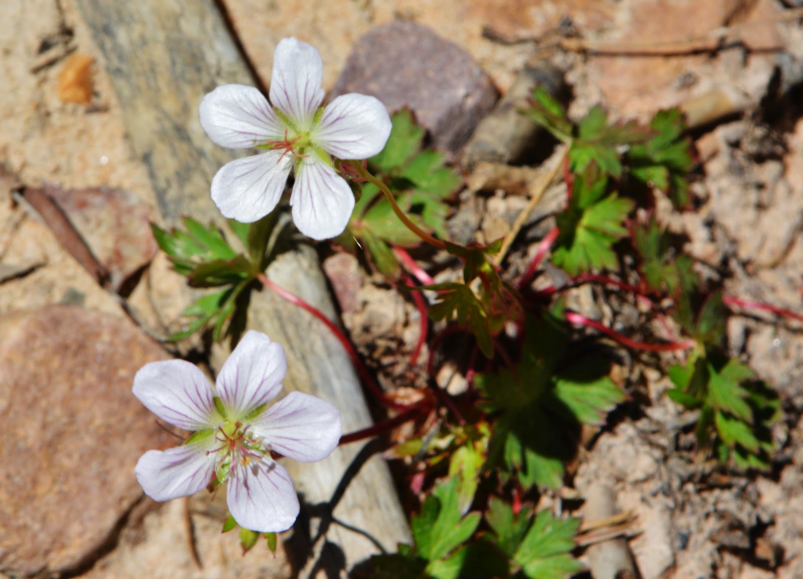
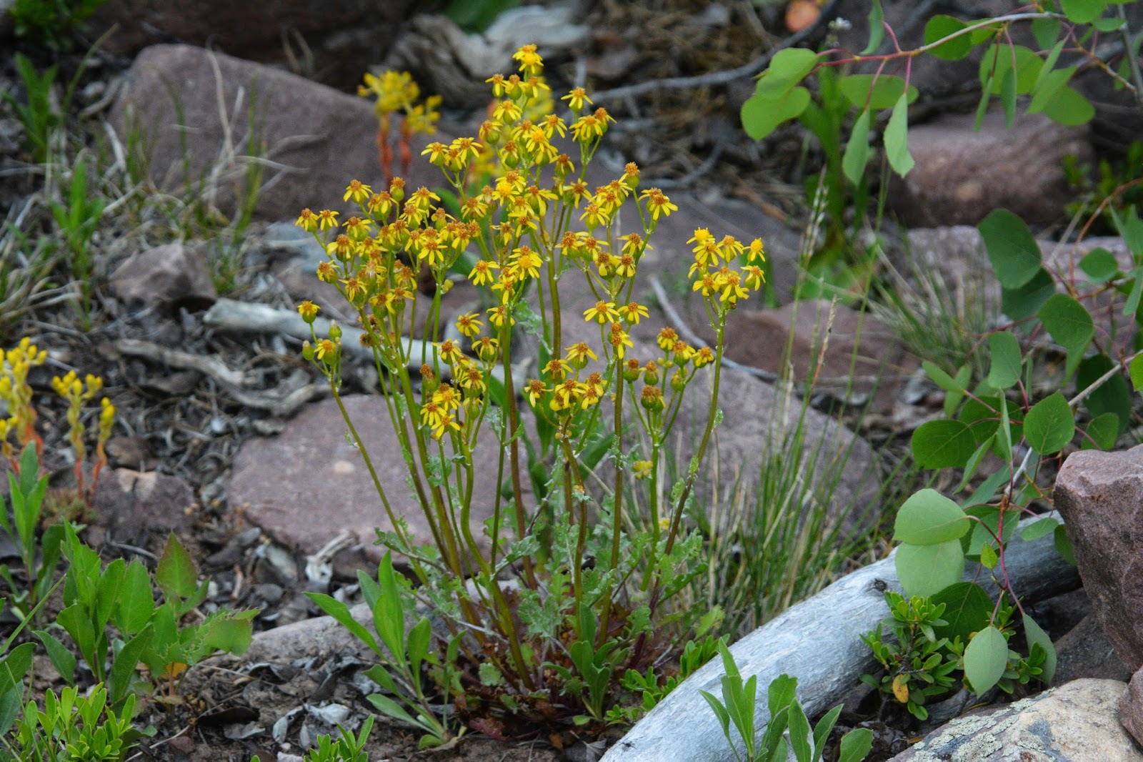
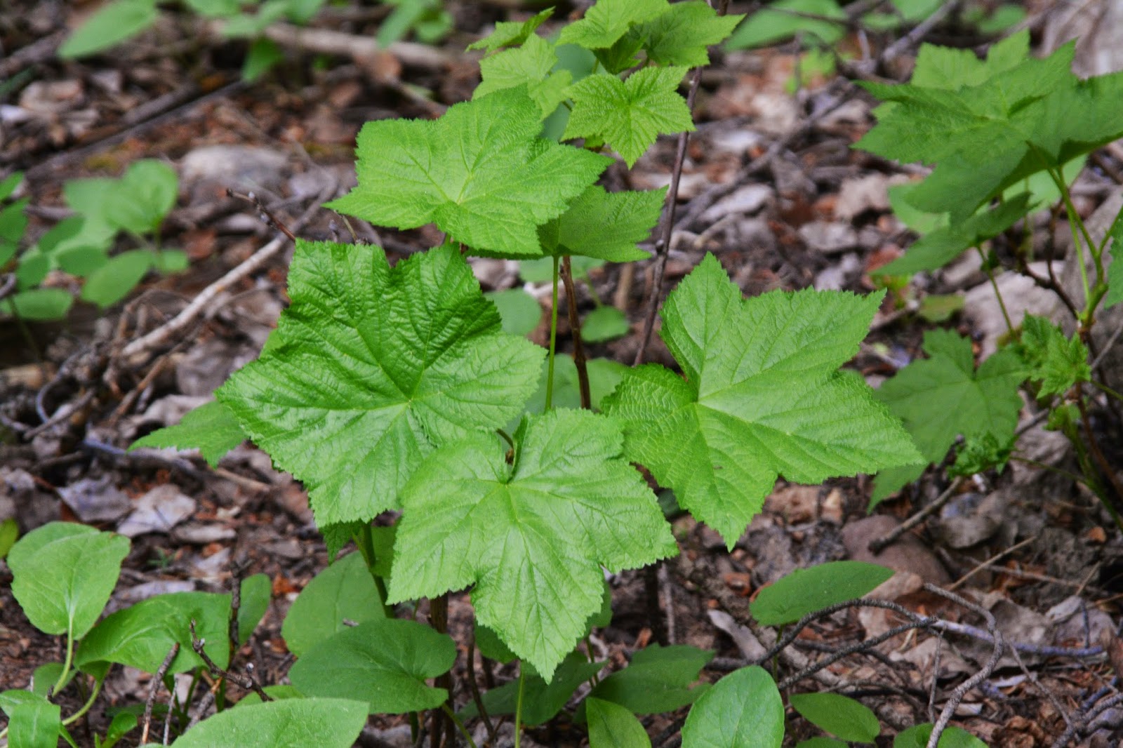
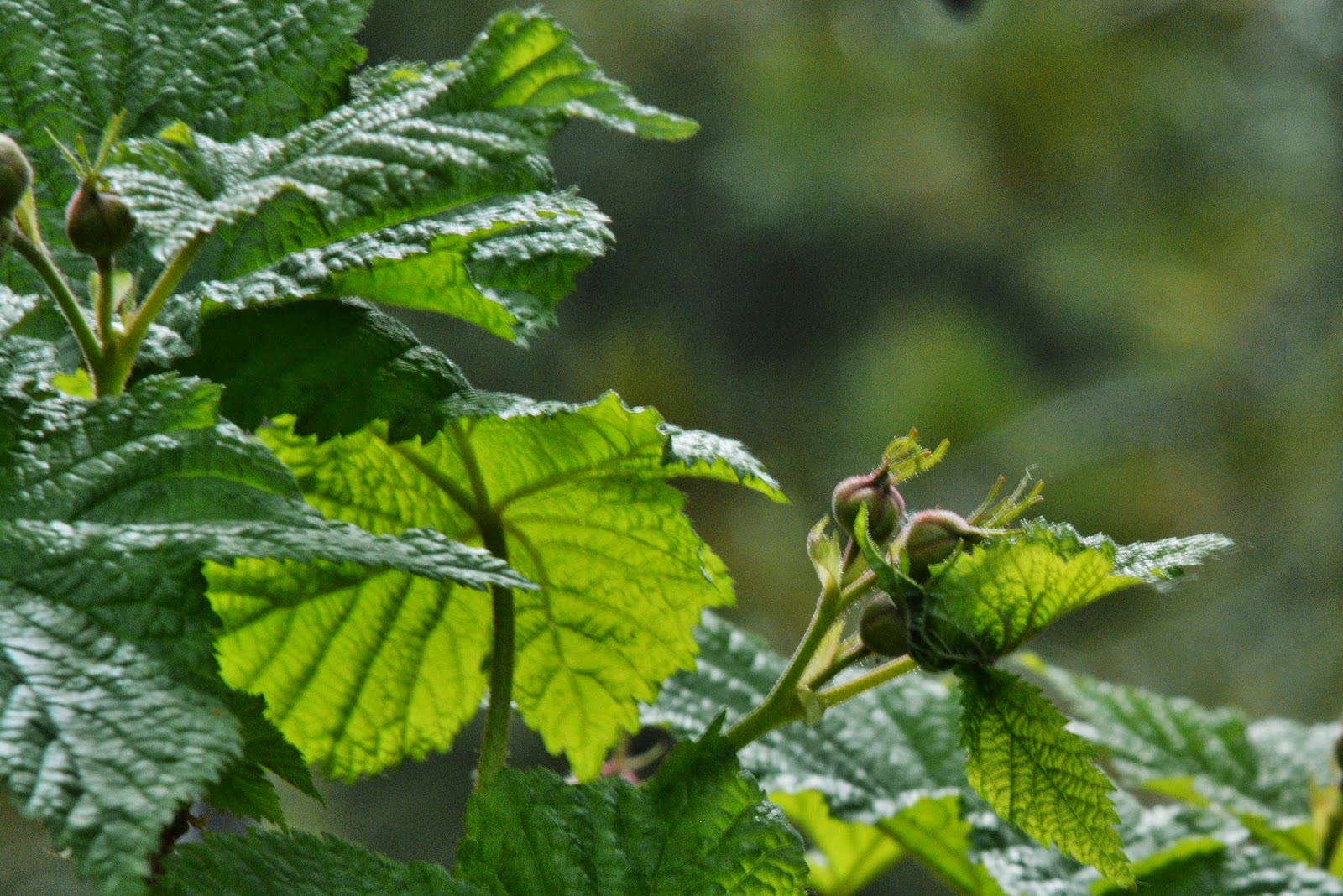
A heart shaped leaf…..and soon the flash of Heartleaf Arnica is all around us.

At this junction the trail joins us from the Moon Lake Campground. We’ve come a bit over 2 miles.
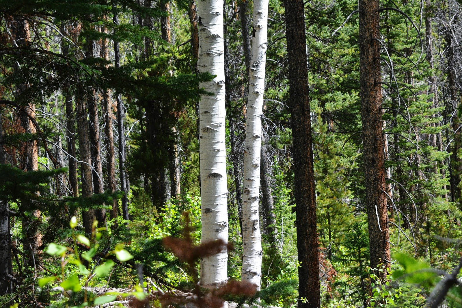
This beautifully delicate Quaking Aspen tree sprouting brings up the interesting subject of the
UTAH STATE FLOWER which for many years was ironically the Colorado Blue Spruce. But earlier this year children from the Monroe Elementary School made a push with the State Legislature to change it to the QUAKING ASPEN (Populus tremuloides), and achieved their goal.
So, meet the UTAH STATE TREE:
The QUAKING ASPEN
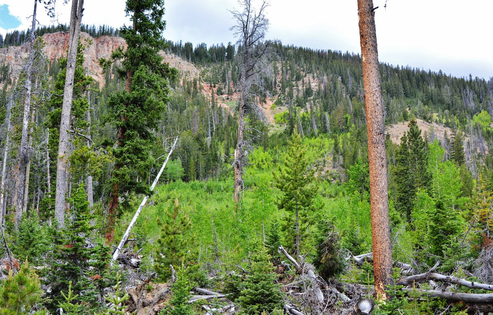
Remember the Lodge pole Pine forest with a bare, nearly sterile forest floor? With the Aspen everything changes providing a much more life creation environment, for plants, animals and birds. In this photograph we see an area that previously was an evergreen forest but wiped out by an avalanche. Look what’s sprouting up to fill the void…the ASPEN. Reproduction is mostly through the roots that spread out all over and sprout new life as we saw in the first photograph. After a fire, it’s usually still there and sprouts soon. So we’ve got one great STATE TREE.
The beautiful color is from the Quaking Aspen as well as some still green & others changing to golden yellow.
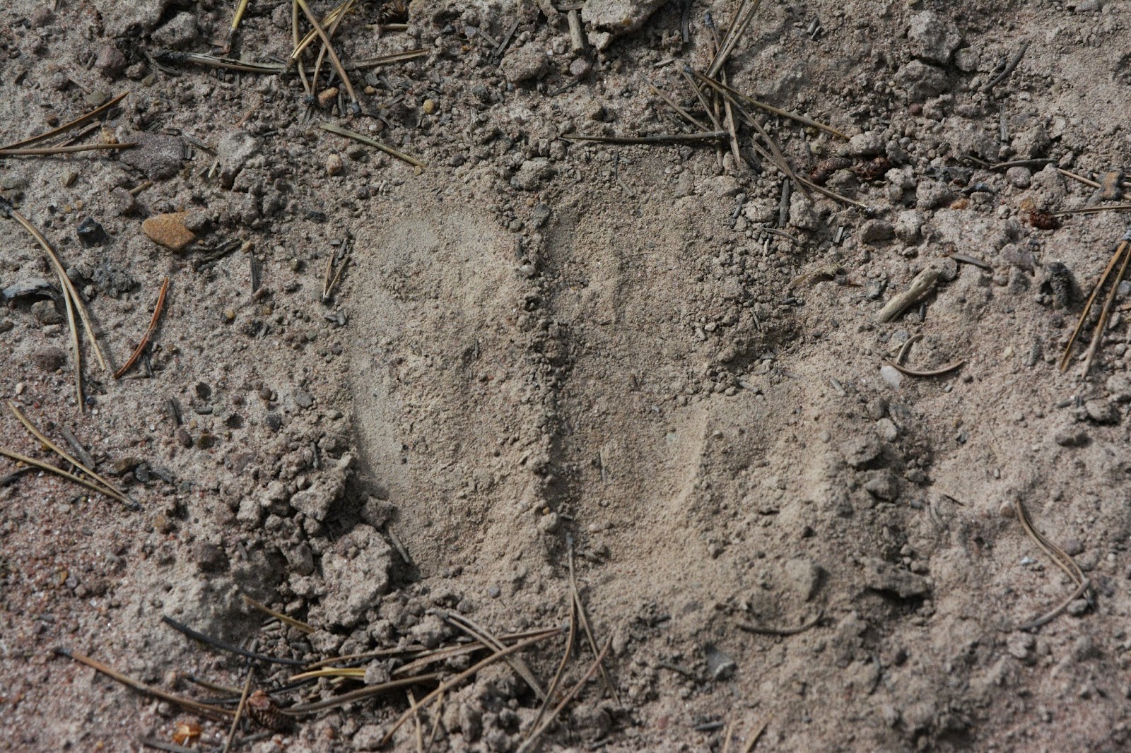
The Aspen helps many important animals like the elk….a hoofprint is seen below …many were seen on the entire trip.
I saw more elk tracks than deer…..both are benefited by the Quaking Aspen.
In this photograph we see on the left deer tracks, in the dead center a deer fawn track, and to the lower right a young elk. Deer pointed in the direction they are heading, the fawn track about 1″ long. Elk are rounded, the young one we see here about 3″x3″.
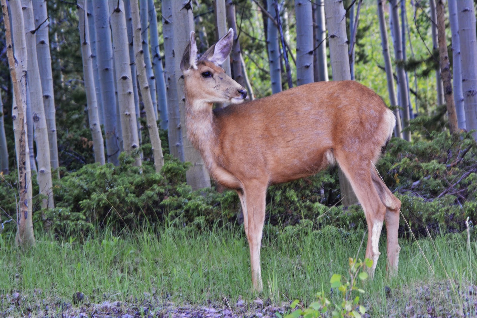
A mule deer female or doe, almost completely having changed from its grey winter coat to its summer one.
Spruce, firs, and pines are each beautiful in their own way, but now have to bow to the Queen of Utah trees…
The Quaking Aspen!
Out-of-staters have asked me what the trails are like?
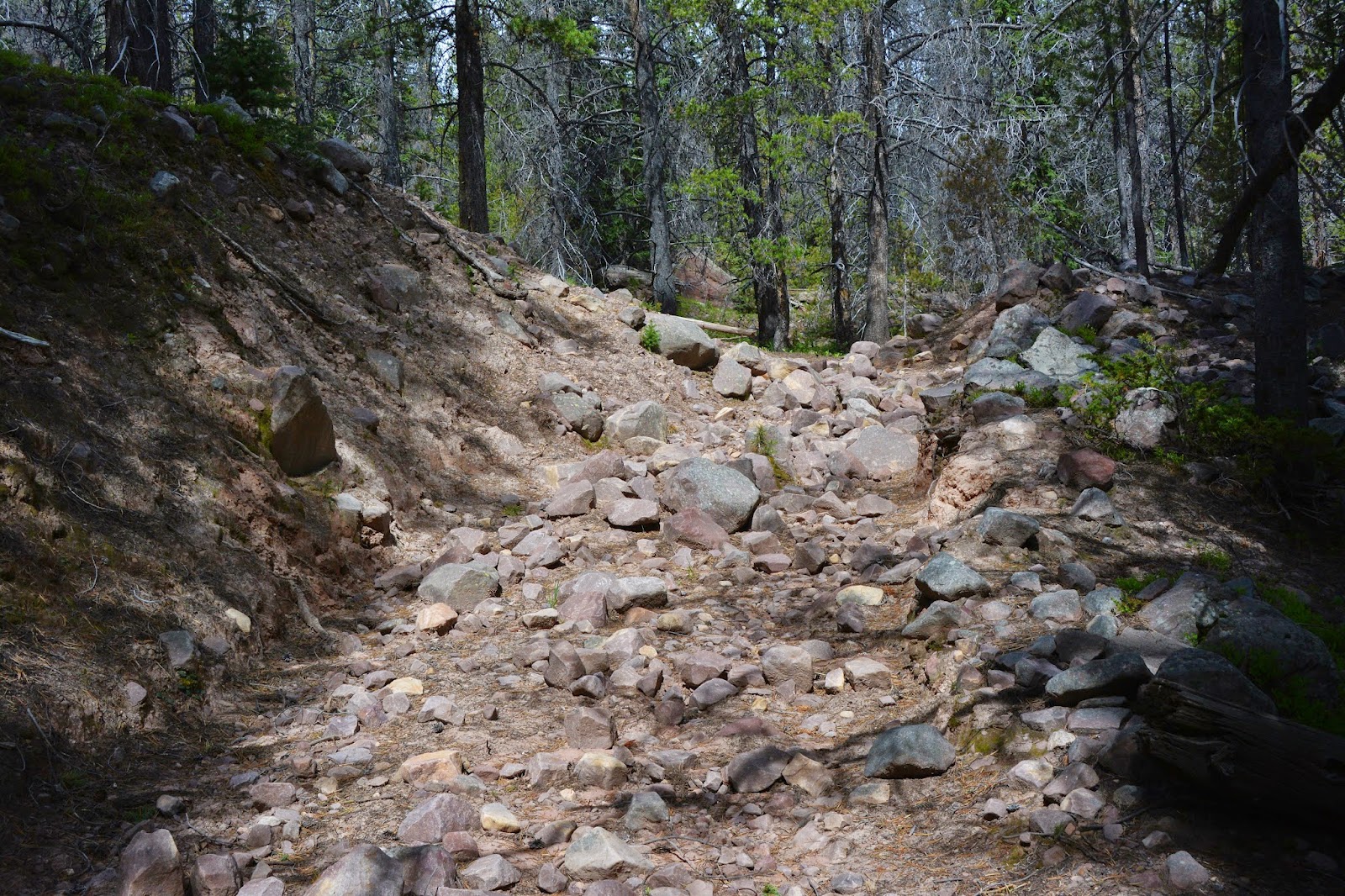
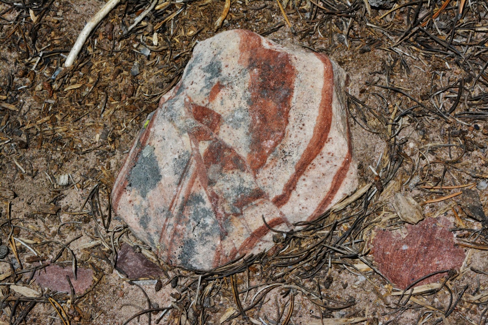
One thing for sure is that they’re not well-groomed like some perhaps are elsewhere. “Rocky” is what best describe them, so step carefully, and usually step over them. This is one of the better “trails,” others of which I’ll show in a minute.Rocks, by the way are so important in the Uinta’s history that I have an entire Gallery just on Rocks & the Making of the Uintas. They are not boring as we will see.
We’re now getting up there with Moon Lake way below us.
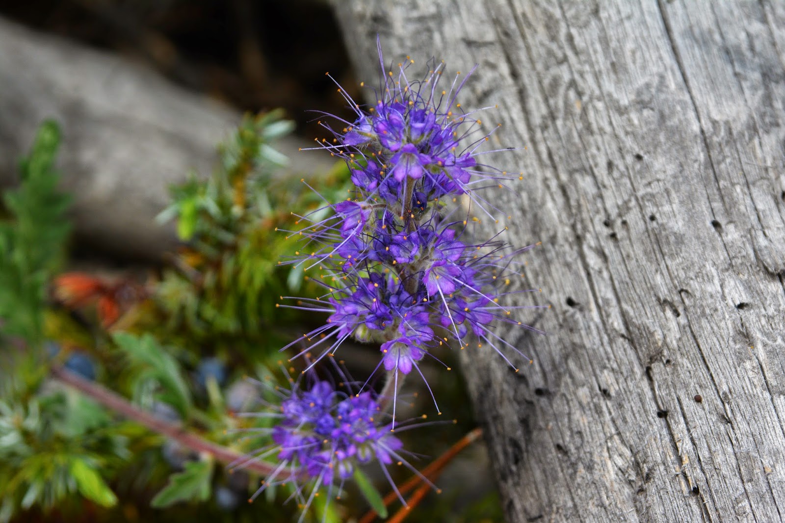
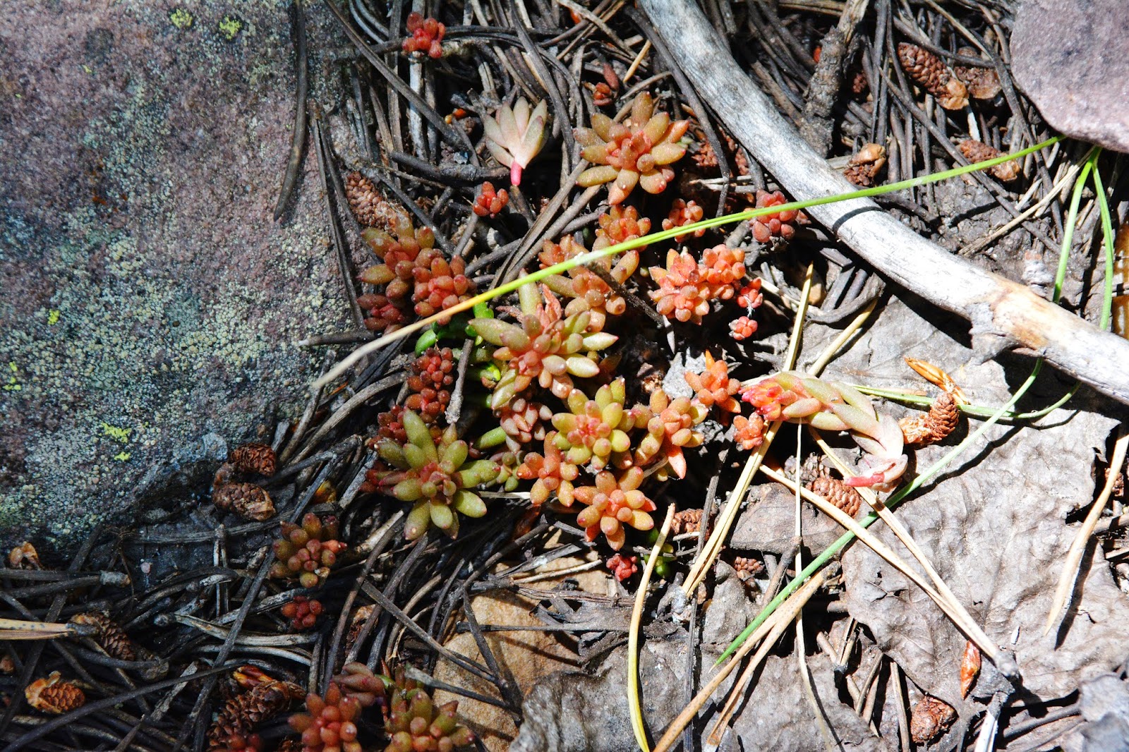
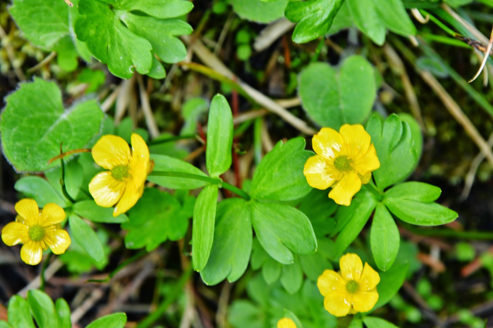
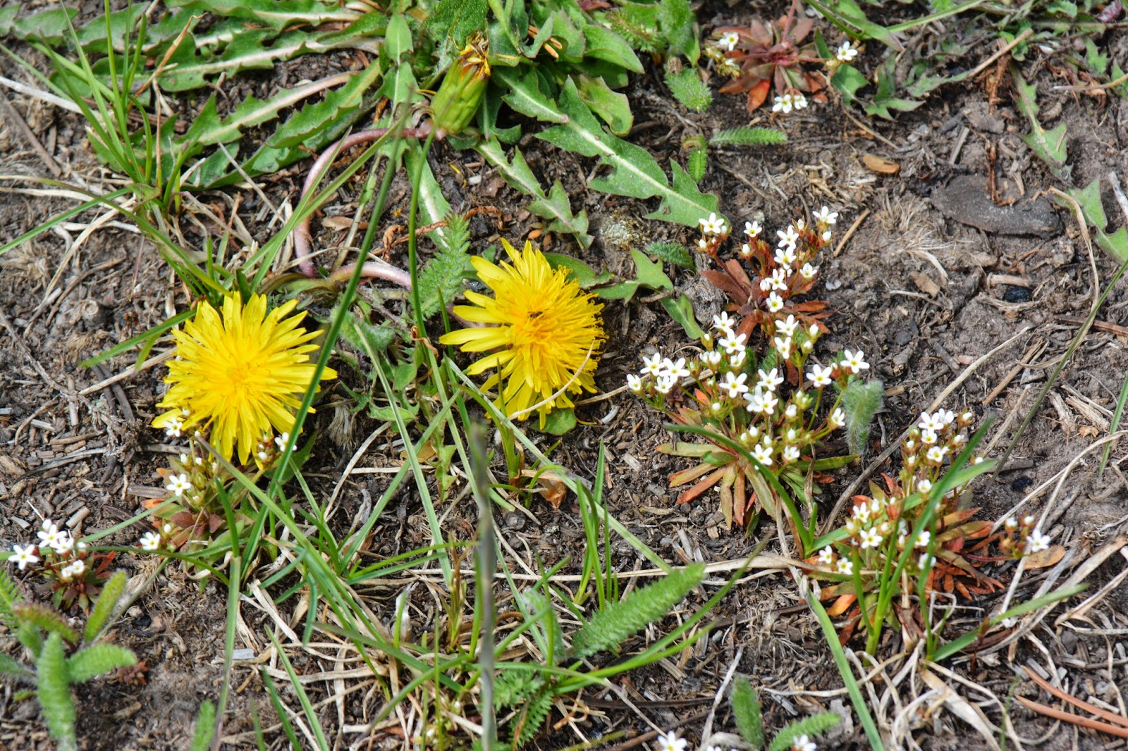
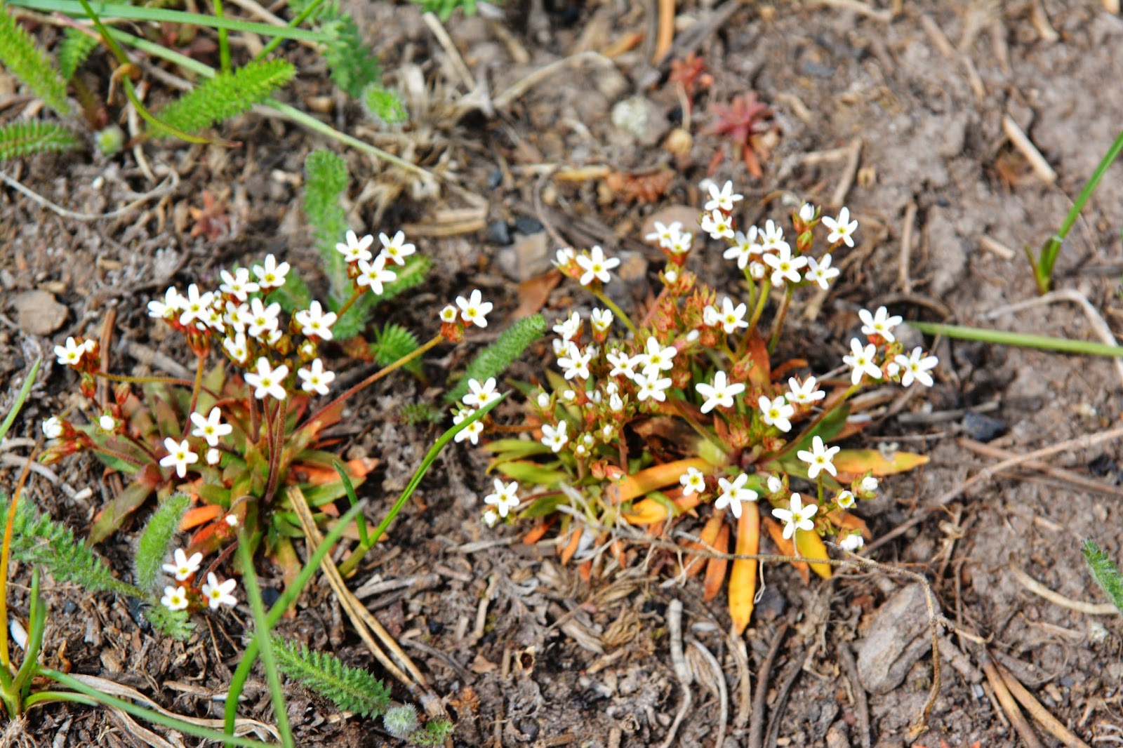
Even one of the flowers is called a “rock,” STONE CROP we see here sprouting.
Even the “stones” turn into beautiful flowers….and they get even more impressive later on.
We will now leave Moon Lake and the canyon behind us and get into the “high country.”
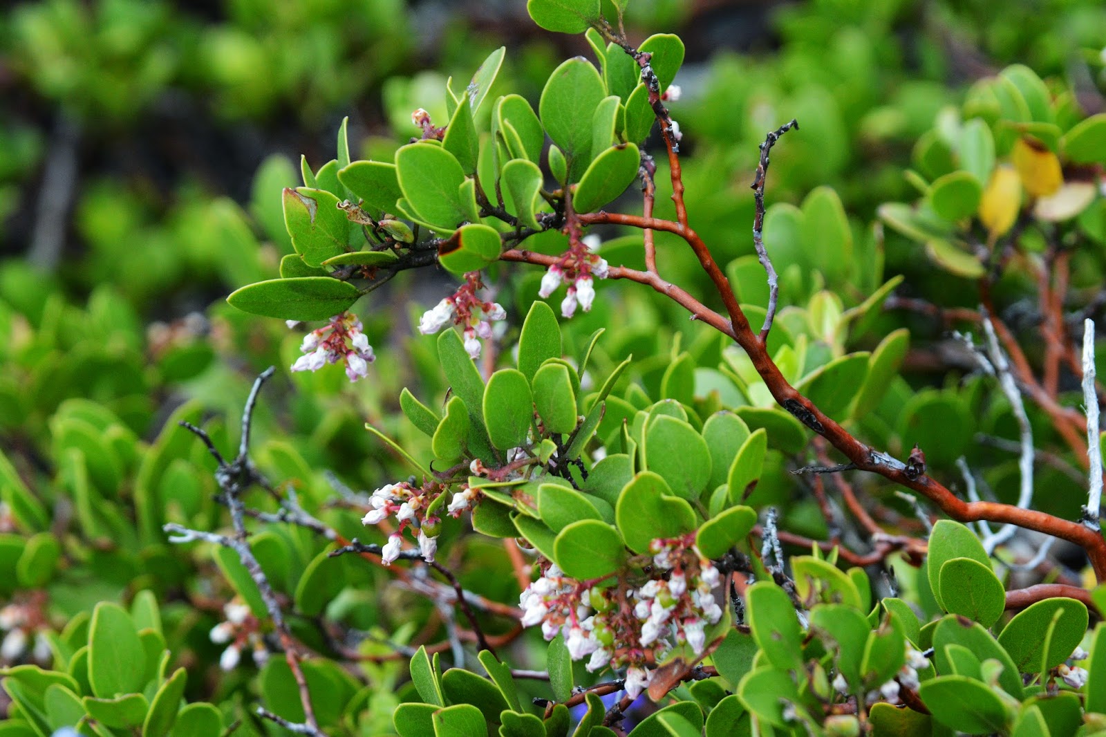
Just one more plant we see from this spot.
It is the Mountain Mahogany blossoming.
This still isn’t too bad….but always be careful.

First water, Brown Duck Creek, and just in time as apparently all my water leaked out of my water bladder. Actually I got water from a small stream coming into the creek.
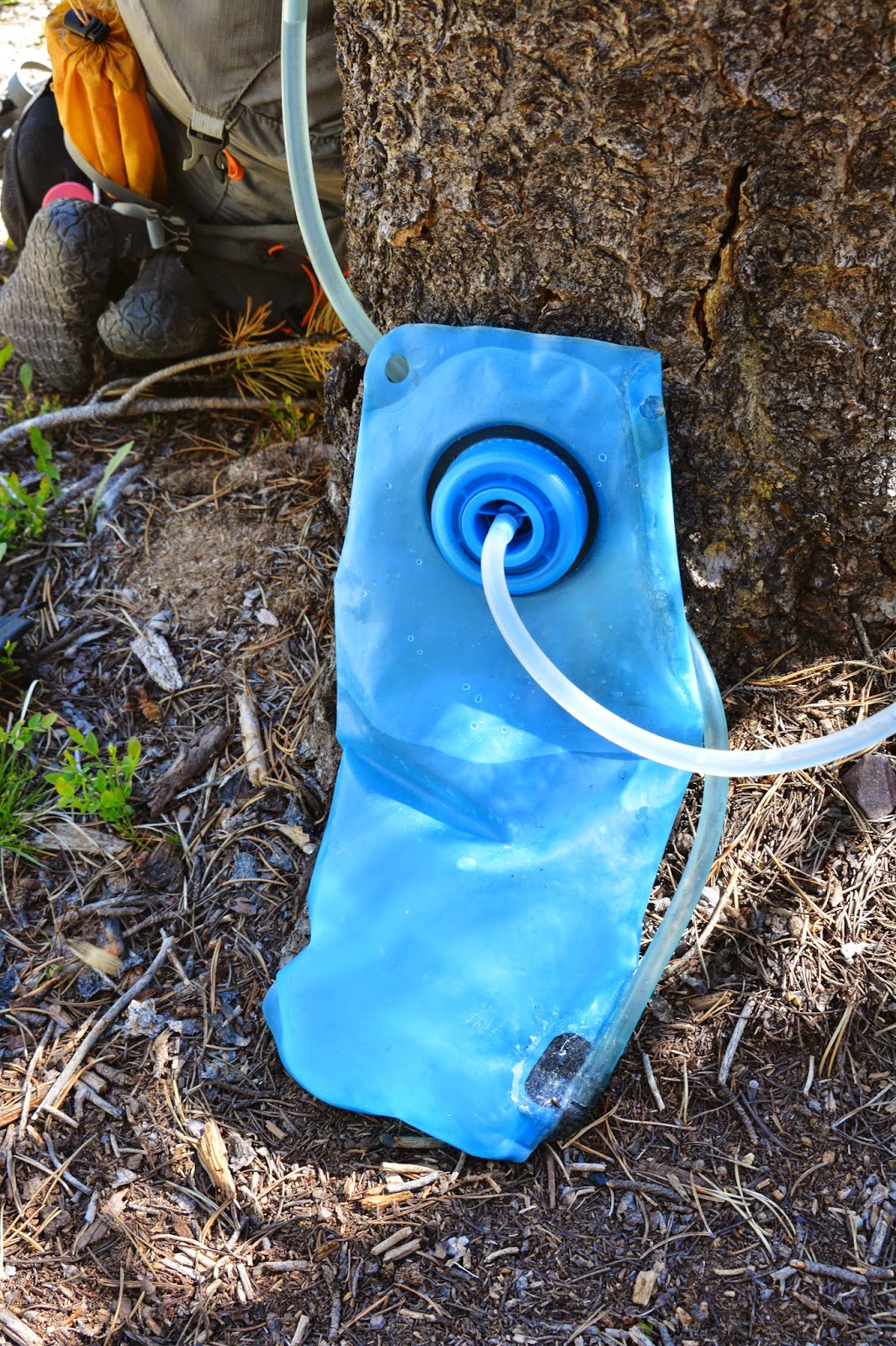
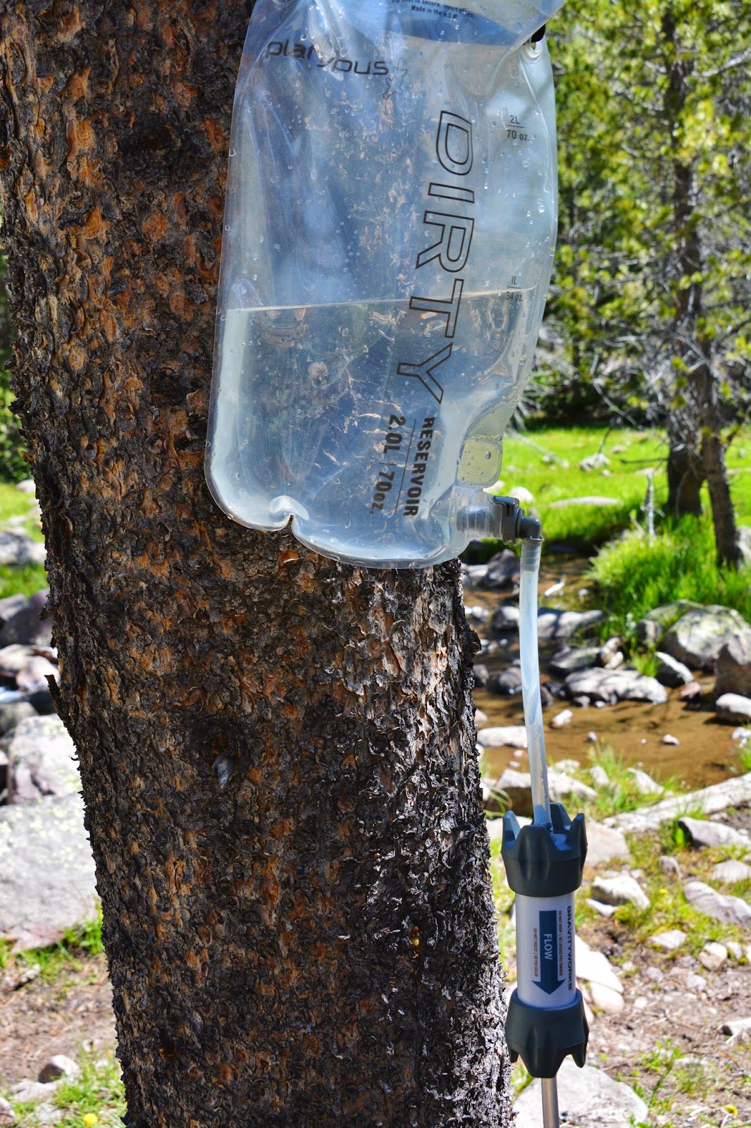
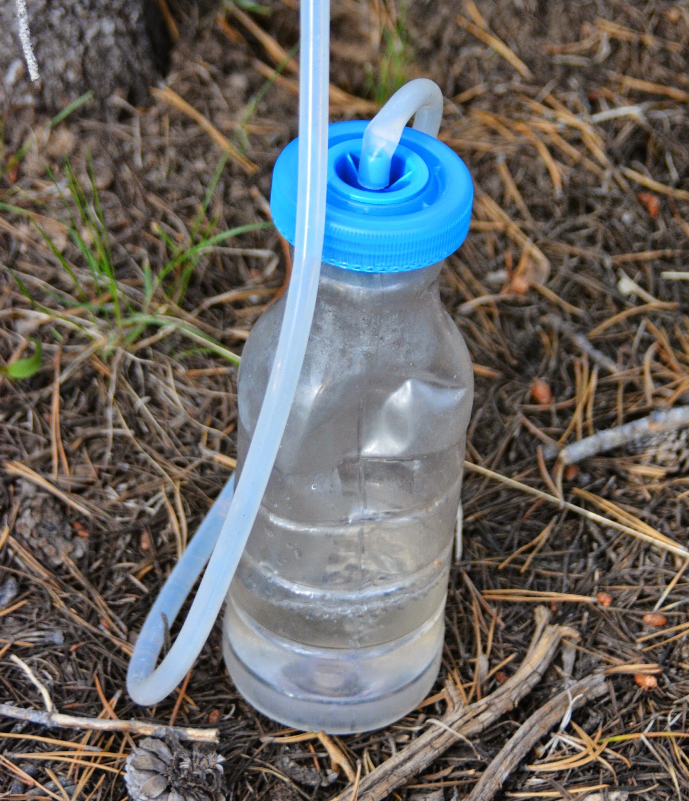
Now, INTRODUCING A NEW WATER PURIFICATION SYSTEM:
The Platypus Gravity Works System. Hanging high on the tree is the “Dirty Water,” that drains down flowing through the filter and in this case into the Platypus Clean water container.
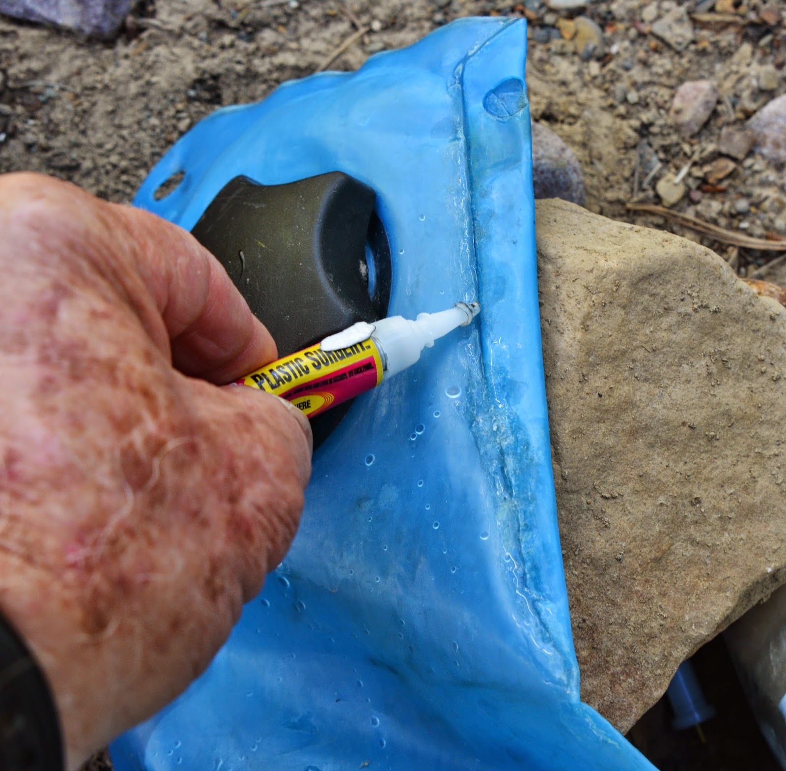
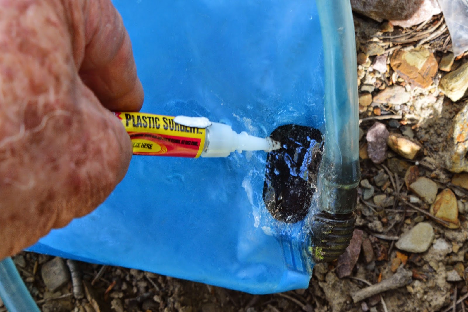
One of the adapters screws into my water bladder, and as you’ll see adapters adjusts to other containers. With the bladder, I had to seal the leak first, and here is another tiny item that always goes with me:
PLASTIC SURGERY. It is in a tube, like Super Glue, but much better and the only cement that has kept my water bladder going now for 11 years. You can buy it at www.Amazon.com
On this trip I have already used it several times: For my glasses, and a latch on the back door of my camper.
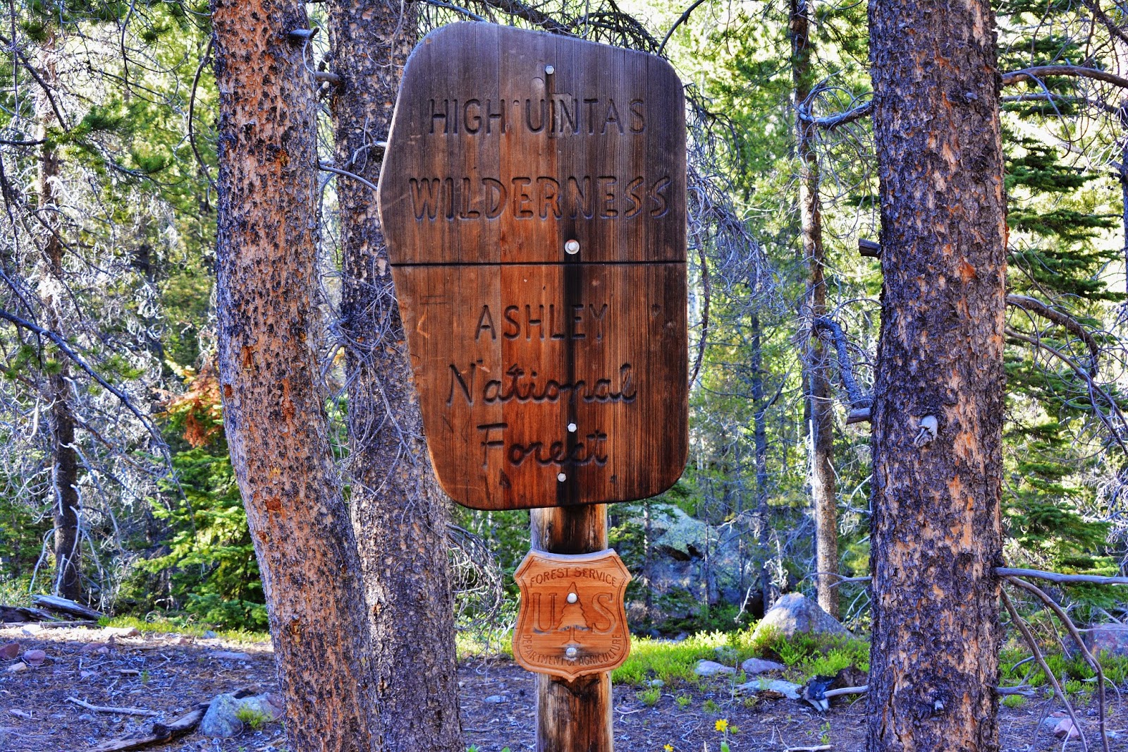
We arrive at the Wilderness boundary….about 4 miles from the Trailhead. Now the rules get stricter, even though most of them should be used everywhere in the outdoors.
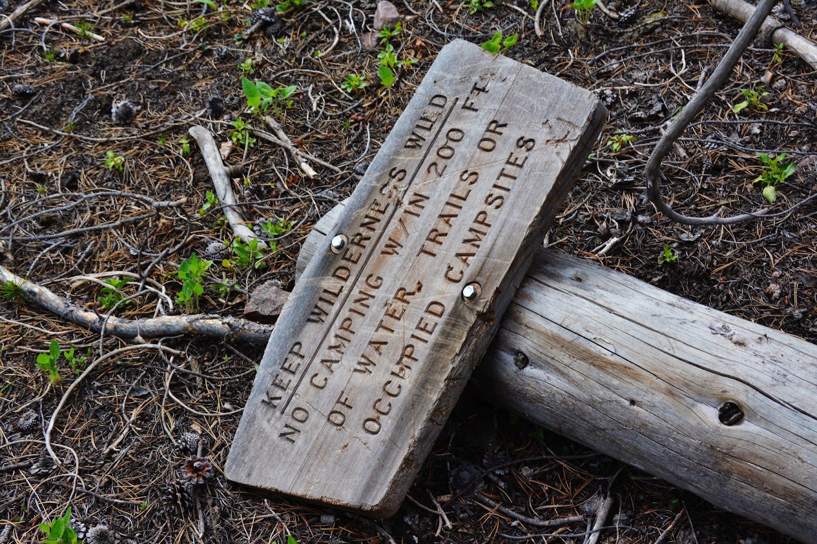
One sign was missing and I found it on the ground, the post having rotted.
It is a very important sign….some aspects of which rub some the wrong way, but there are reasons why we should all respect these rules….and below I’ll give the details for those who might not know, or who might need to remember what we have to do to maintain this amazing Wilderness.
This is the exact same sign in 2006–8 years ago.
This instruction sheet can be acquired at all Forest Service Offices. Below are the crucial items.
I insert this map in reference to the middle restriction above about no campfires closer than 1/4 mile from the restricted lakes.. the orange areas….which are almost all the ones you have ever seen or heard of.
My first reaction was like the vow: “I’ll give you my gun when you pry (or take) it from my cold, dead hands!” which I used to think of concerning my “campfire” that I wasn’t going to give it up! But, then I saw some areas totally bare of a dead branches or sticks, as high as a man could reach. it was like a sterile desert!
Without a campfire I can get as close as 200 feet from a lake or stream….which still isn’t close enough to make me happy, but if I love the Wilderness, I’ve got to be willing to make sacrifices to help preserve it. Already two of my three daily meals are ones that don’t require any cooking. I’m now looking into preparing some days three meals that don’t require a fire, just add water.
If you’re still resistant, notice the fine if you get caught violating the rules.
If you just have to have your campfire within 200 feet of a lake, you’ll have to get further from civilization, like Crater Lake, Ottoson Basin, the off-trail lakes up Little East Fork of Blacks Fork,Lambert, Porcupine and Oweep Lakes, extreme upper Garfield Basin, Bob’s Lake, Kermsuh Lake, Priord, Allsop, Bald Lake, Red Castle, Upper & East Red Castle, Smith’s Fork Lake, and most in the Henry’s Fork Basin, etc.
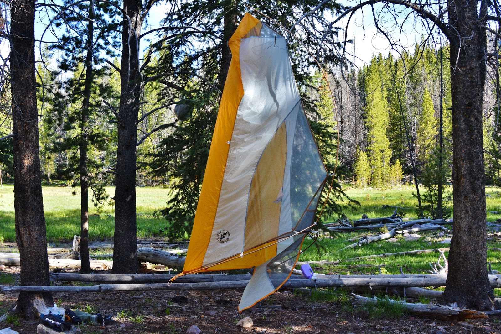
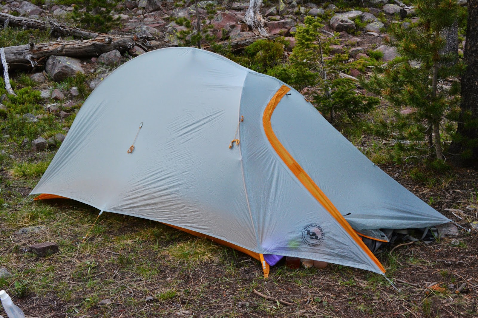
This is my new lightweight backpacking tent for one person:
BIG AGNES Fly Creek UL1, weight=1 lb. 12 oz. Cost: $329.29.
You can get it at: amazon.com
Here it is with the rain fly positioned. There is a vestibule for your pack. It requires a little getting used to….for example you have to back in among other things.
It is billed as a free standing tent which is this portion you see hanging to drain out and dry as some water spilled. To clean of pine needles, leaves, scraps of whatever, etc. just hold it up and shake it out.. After 3 nights I got used to it and can now say I really like it.
I went for increased comfort this year by purchasing an inflatable pillow on sale…and really thought it would be a pillow, but it ended up being only a 1″ thick pad…so INTO THE FIRE! Somewhere around 1 lb. of weight off my back. Not a lot, you’d say, but in a 5 mile day I take at least around 9,000 steps….adding up to me lifting 9,000 lbs. less weight during the day!
I can’t say enough about the Platypus Gravity Works System. While the 2 liters drain in like 2 minutes I hustle around doing all sorts of things, or just REST…rather than pump or squeeze!
Here I’m using the adapter to a typical chocolate milk bottle…that costs nothing and weighs less! I take 3 or 4 of them with me. Enough of that….ON THE TRAIL FOR THE 2ND DAY!
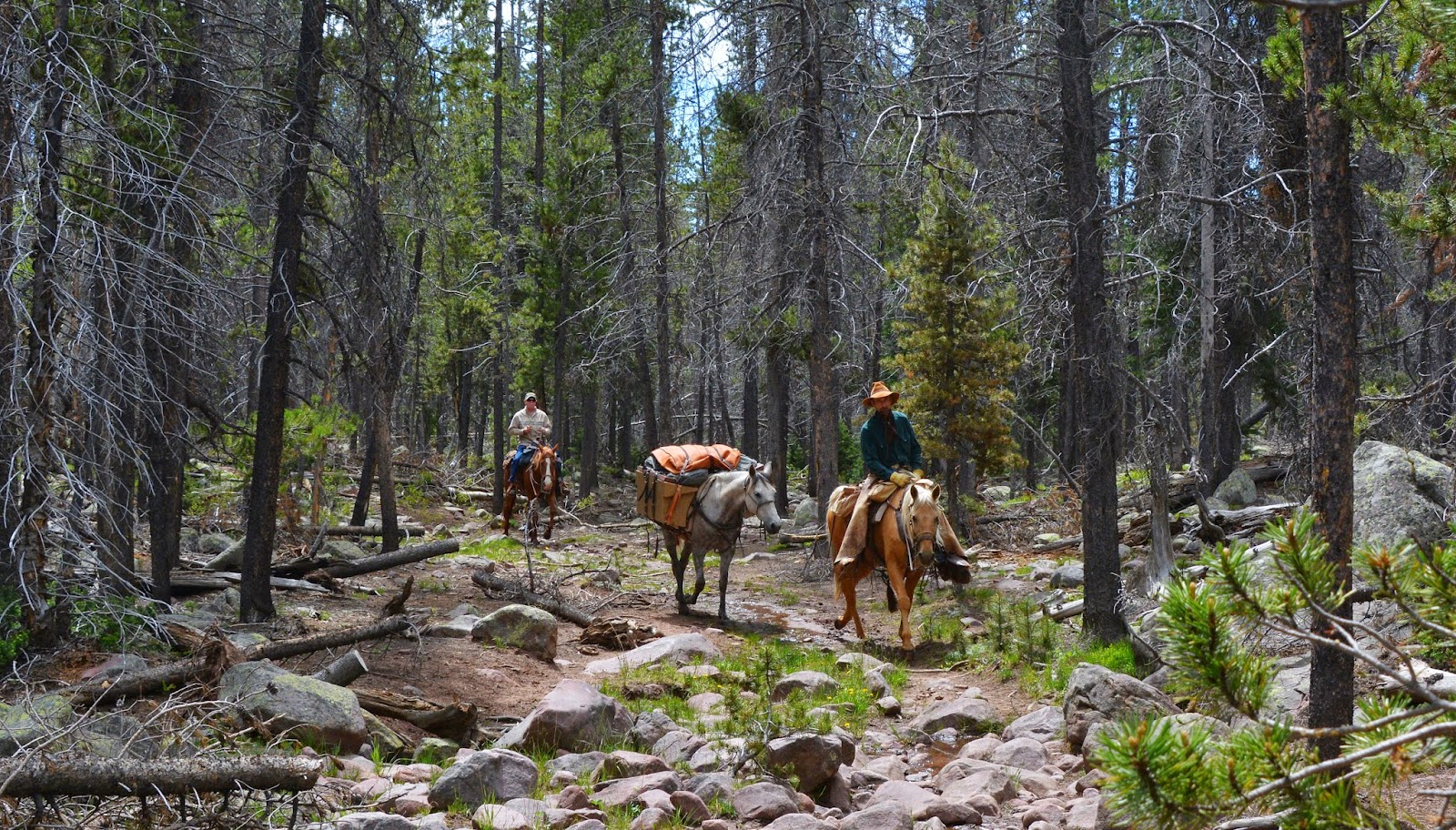
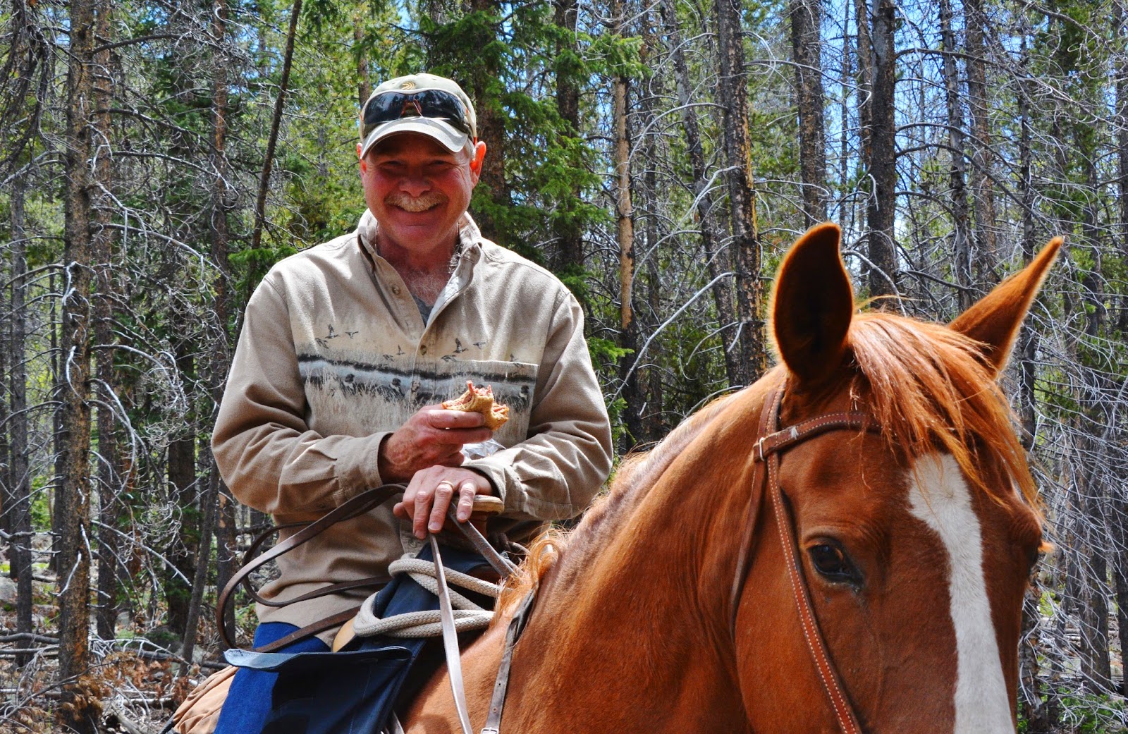
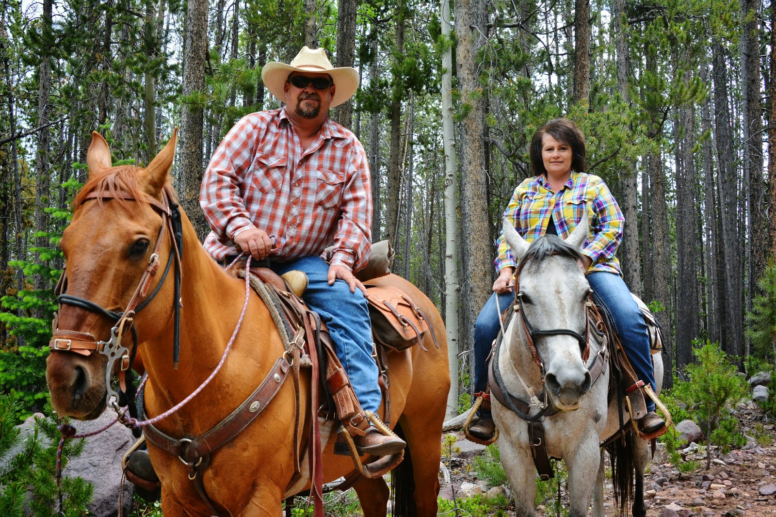
Soon I see my first human beings…until then I could only see one horse track up the trail this year.
Meet Dallas Burton who says he gave up backpacking some years back and went for horses.
....and Dan Jenkins. They were heading for Tworoose Pass and lakes in that area.
Dallas and Dan became another couple of High Uinta Friends and wished me luck.
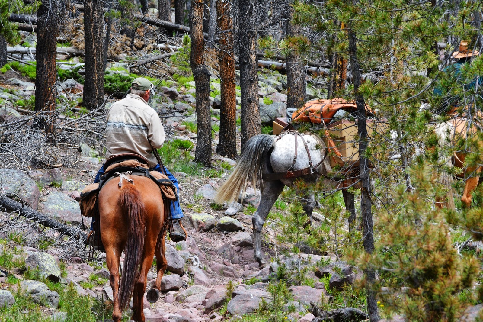
I’ve always wondered at how the horses manage these rocky trails….especially the impossibly difficult ones like up Roberts Pass above the Chain Lakes.
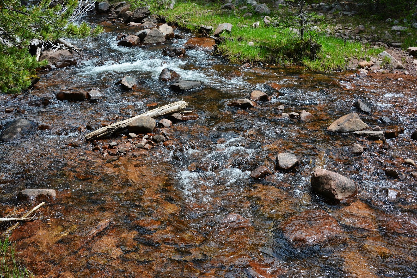
At about 5.5 miles I come to what I call the “shortcut to Atwine Lake,” that requires fording Brown Duck Creek.
I look for the spot where the stream widens out making shallower water.
It shouldn’t be any kind of a big deal but 11 years ago early in the season I was returning from Reconnaisance Lake taking the straight route that led me to Rock Creek when the run-off had the stream running high. It was late afternoon and the ford was in the shade making seeing well the footing a bit difficult. I didn’t have experience fording streams and just carefully went for it, but half way across I stepped on a large boulder slanting down into deep water that just sucked me in and there I was trying to swim with pack on back, camera around waist. I finally made it to the other bank soaking wet…worried for my survival. but also for my Nikon film camera and equipment. I made it out, but lost the camera.
Since I have learned to ford streams and tackle them always with caution, but without fear.

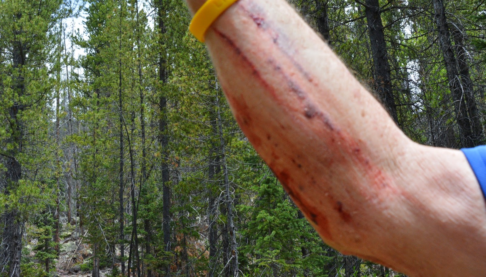
When I’m going to have to ford a stream or two I bring along my wadding slippers, and very important, look for a sturdy pole to steady myself as I cross.
Socks stuffed into boots and the boots sent flying across the stream…....
.….and they made it. Do you see them?
There they are….but in making sure I threw them far enough …..I had made one hard discus like throw….and lost my balance, and got up with arm all banged up…I should have taken the photo with the blood all over the place! With another such experience or two, I began recognizing that my balance was not like it used to be…..not good for boulder hopping!
I’d do the anti-biotic treatment in the evening once setting up camp.
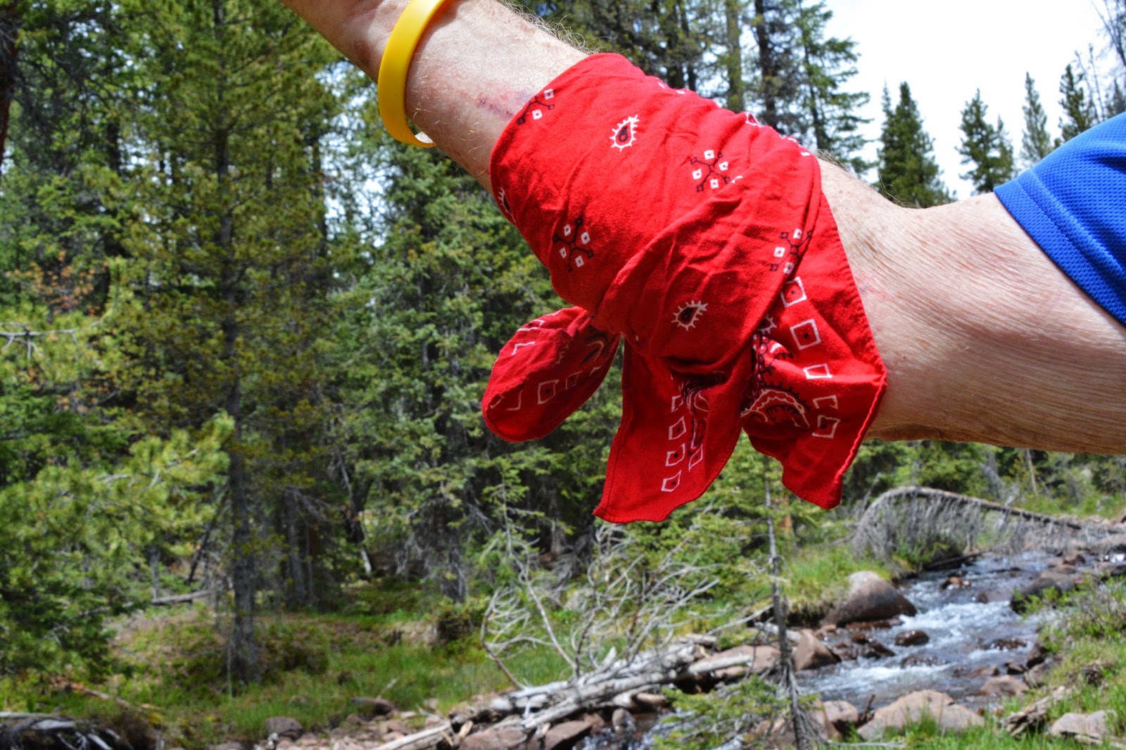
Once again “ye old red bandanna” came to the rescue to bandage my arm. A bandanna is one of the essentials, used for many things on a backpack.
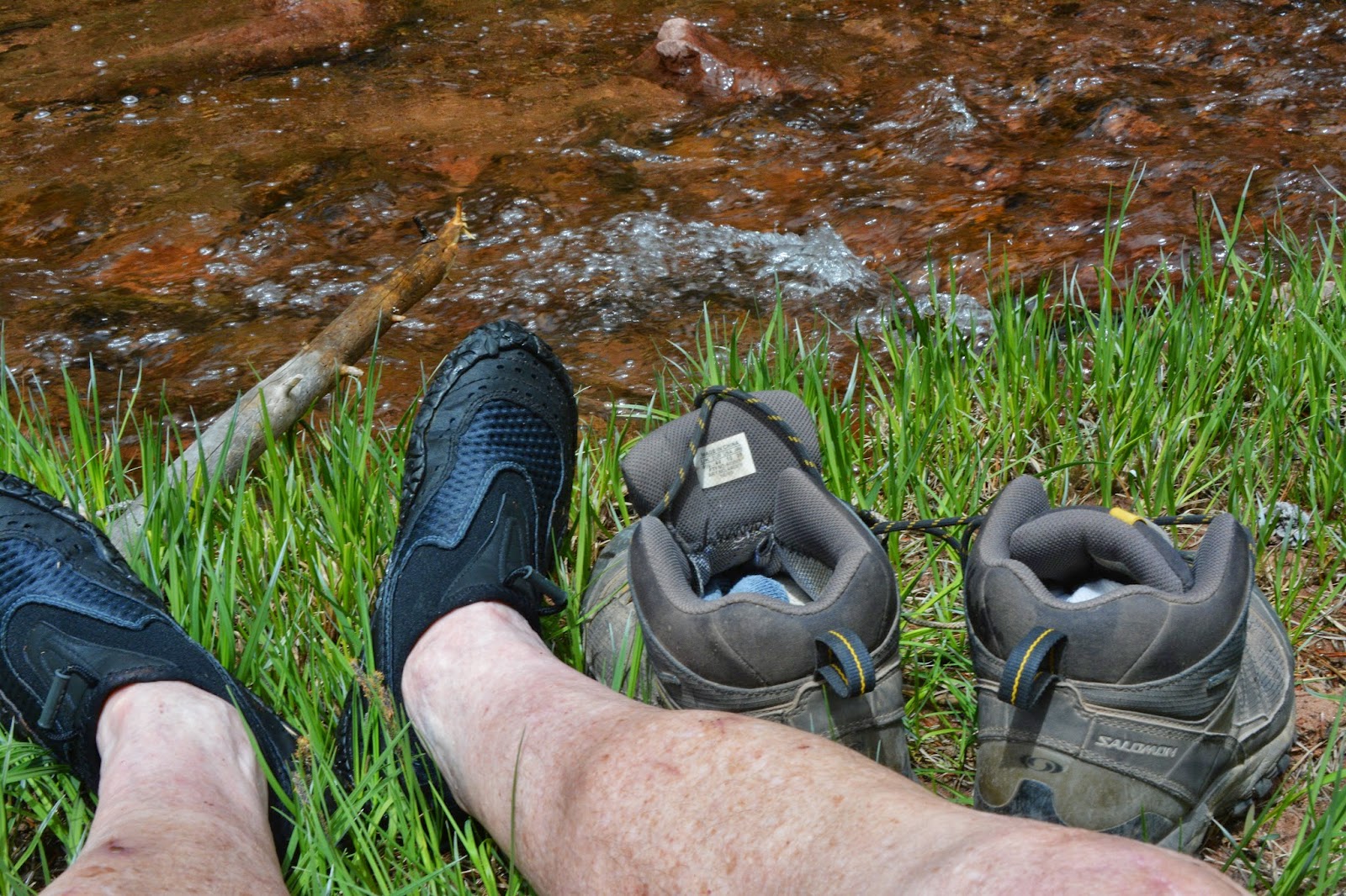
I crossed the stream and hooked up to my boots to get moving again up the Short cut.
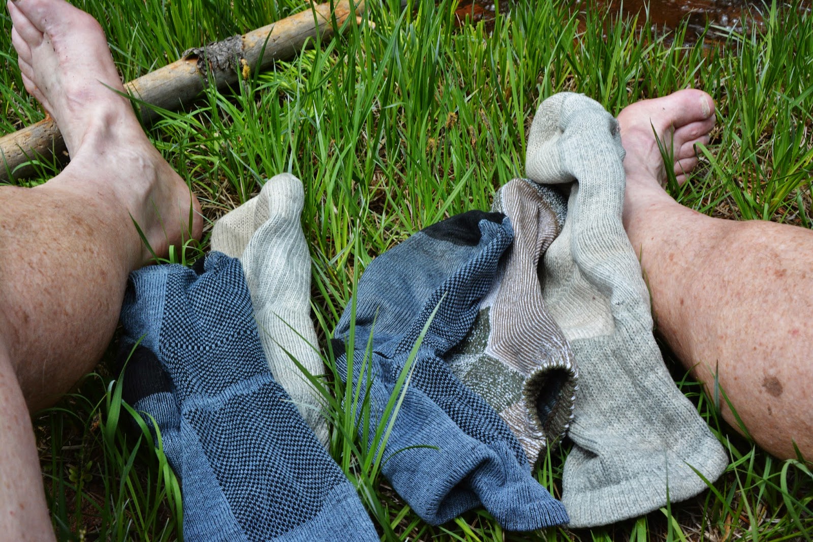
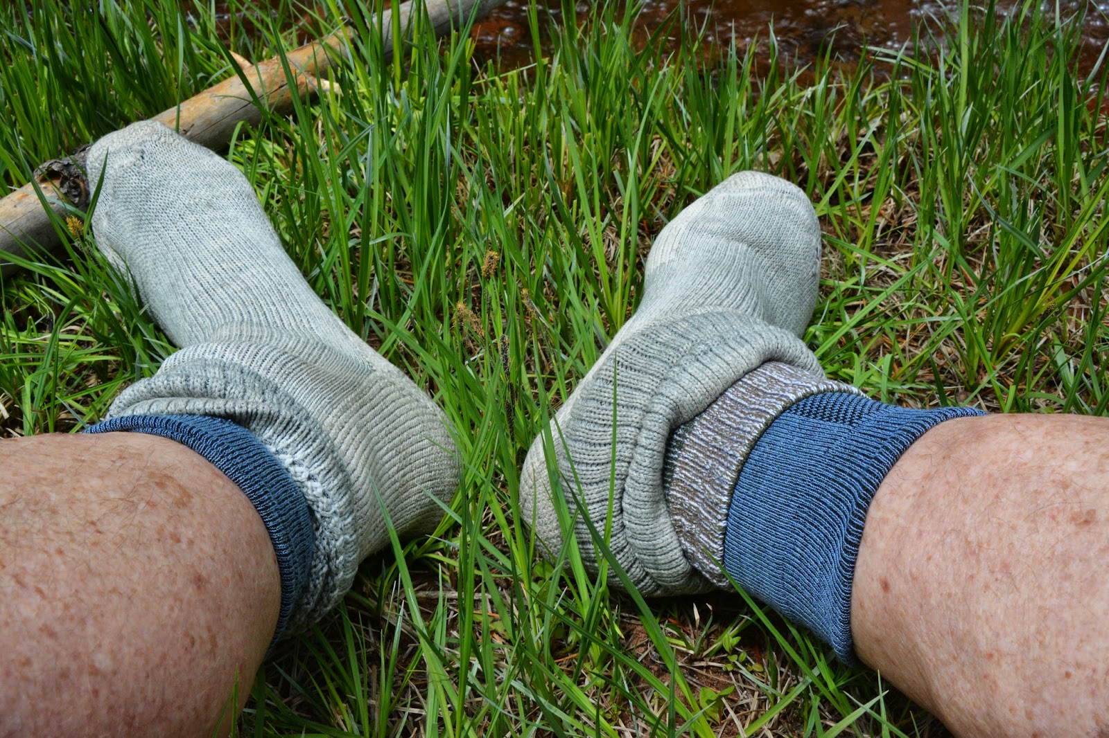
While getting my socks back on, let’s mention other keys to me never getting blisters anymore. You’ll notice I first put on each foot a blister preventing sock that you can get from REI or Amazon–they are called “Cool Mesh Wright Socks,” you can get them clicking on that. They are easily worth their weight in GOLD! Next, notice that on my right foot I put on a running sock because that foot is just a tad smaller than the left. This is the equalizer that makes both boots, or shoes fit perfectly. Last comes a fairly thick hiking sock on each foot.
Each boot has one Dr. Scholls gel insert with a hole cut out for the ball of my foot, then the regular insert over that…where for years I suffered metatarsalitis that clear back in 1994 had a specialist recommend I not do half marathons or backpacking anymore. I found a way to solve that problem on my own and it has worked another miracle….with 13 more consecutive International Half Marathons, and now over 1,600 miles of backpacking.
From the creek the trail went up and up, and up to skirt around the edge of Round Mountain.
There we see the first mushrooms just beginning to grow.
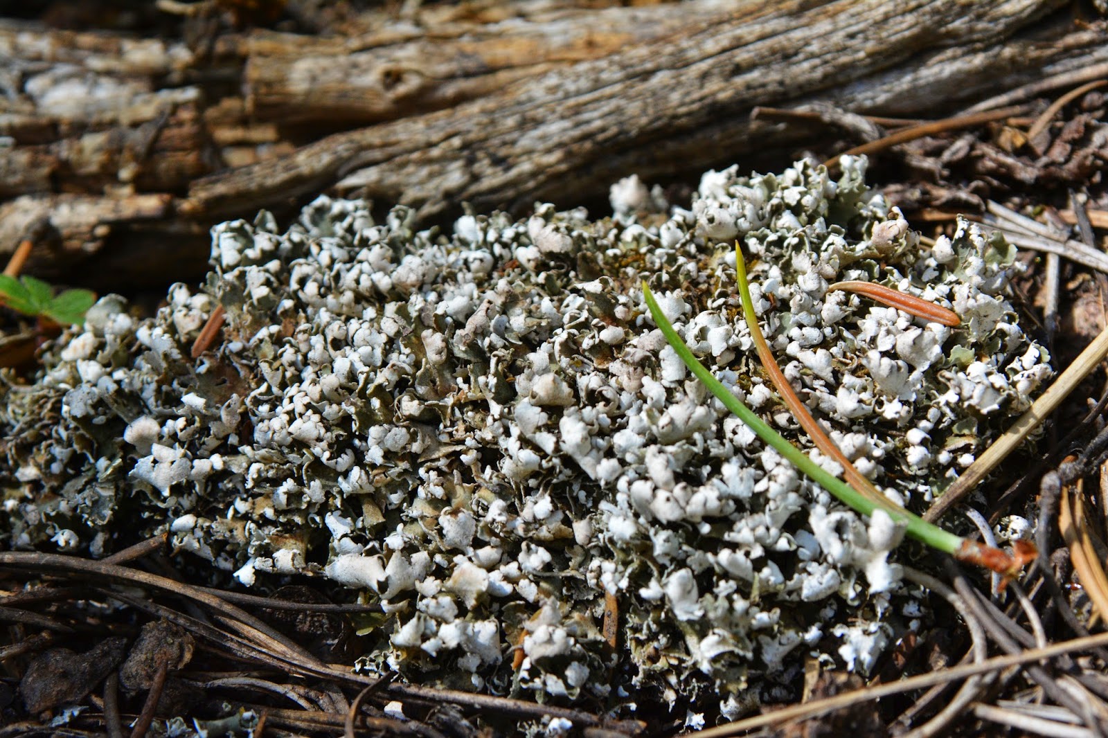
Of course we see many lichens of the 8,000 varieties in the Rocky Mountains seen on the rocks and trees. Remember lichens are a life form that develops out of a symbiotic or partnership relationship between an algae and a fungus, each contributing for the survival of each other.
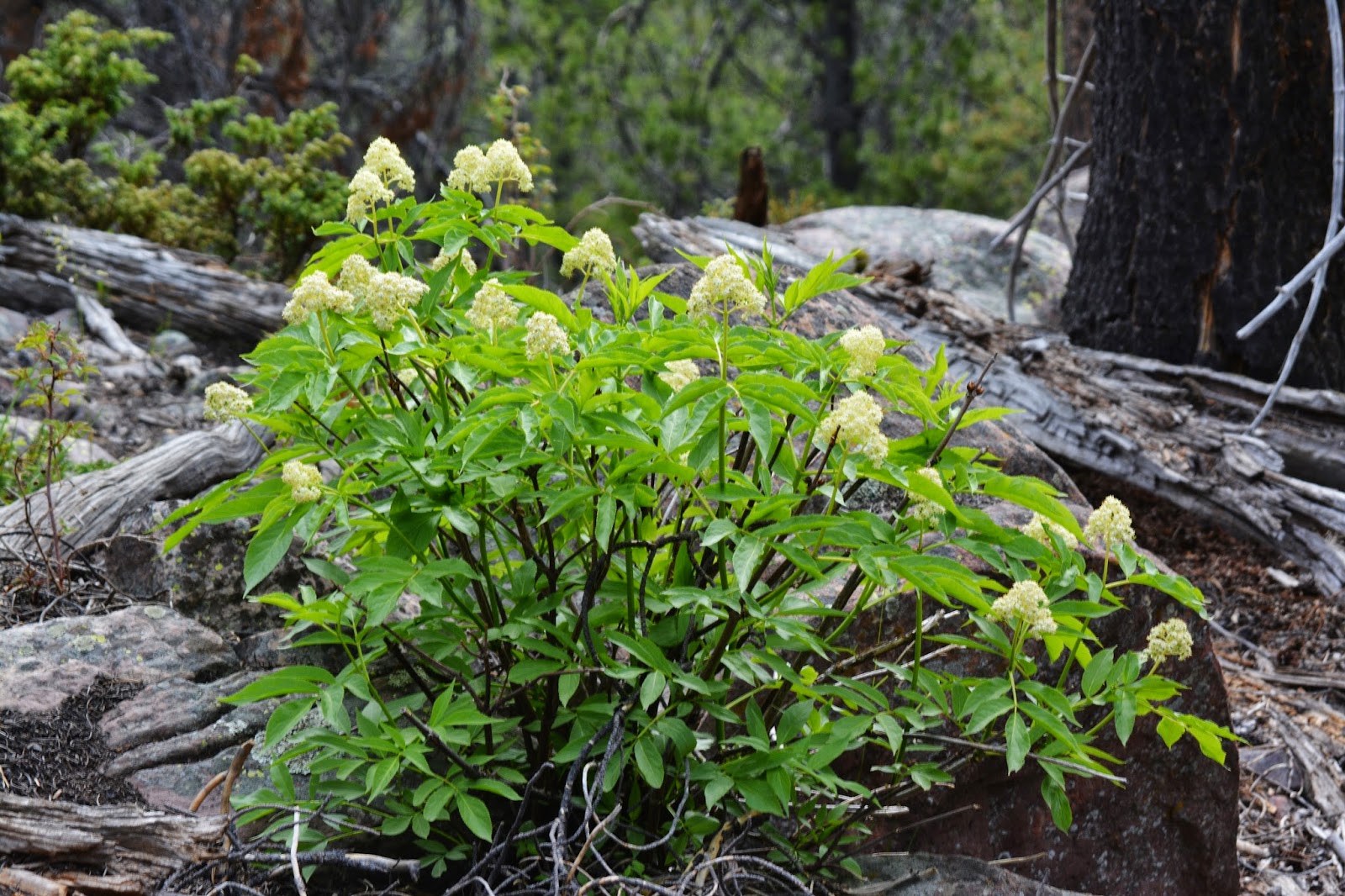
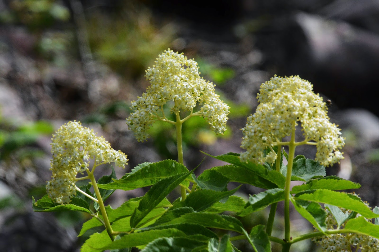
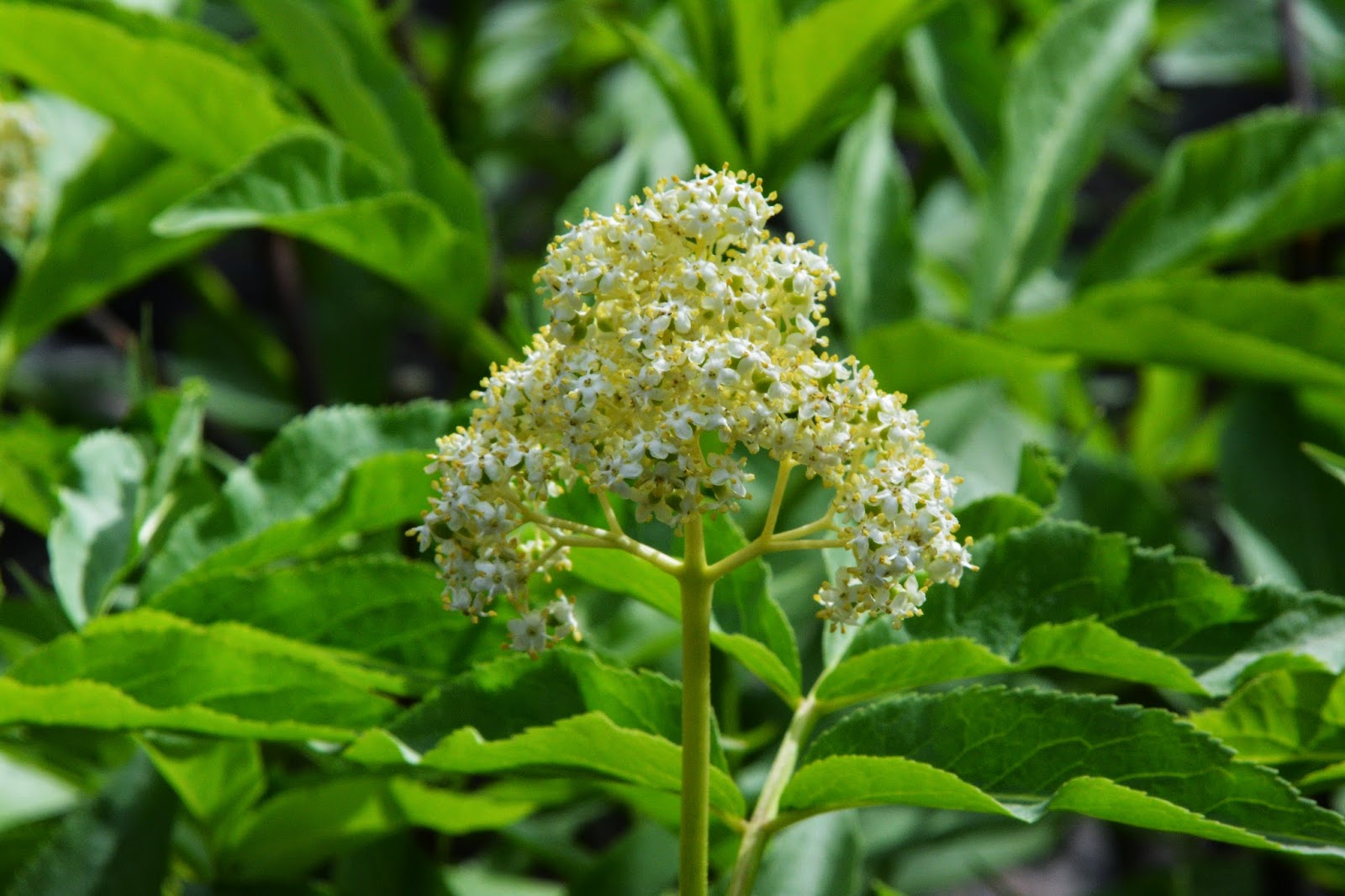
Along with so much of life that is sprouting, growing and blossoming, we find in many places WILD RASPBERRIES, that in late summer will be a good food for animals, including bears.
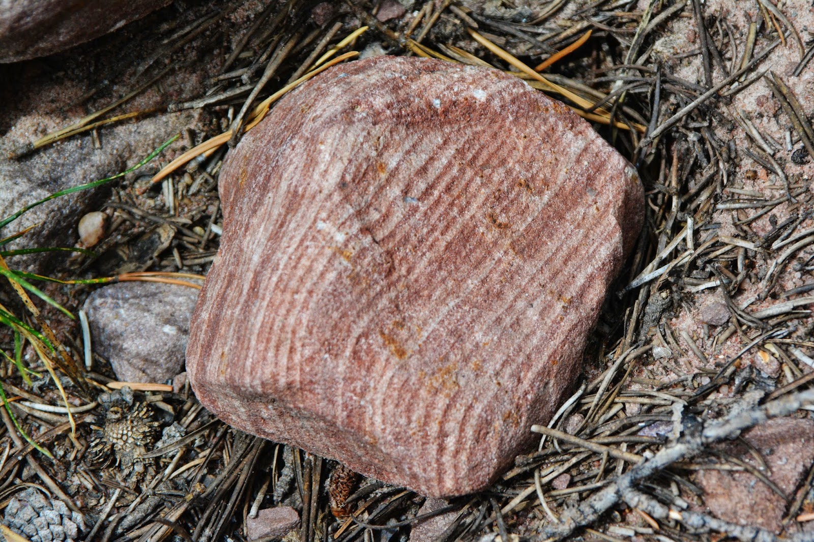
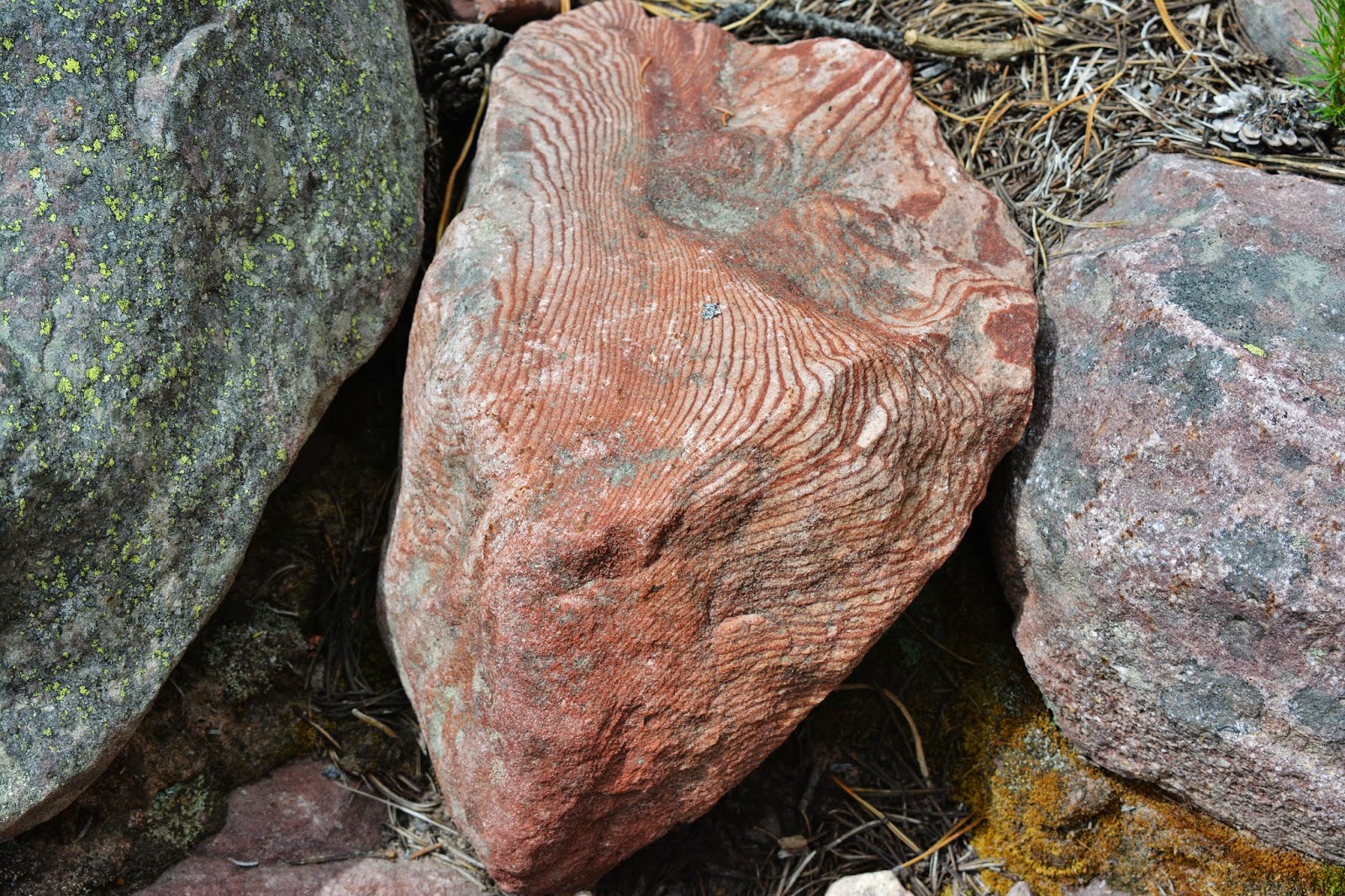
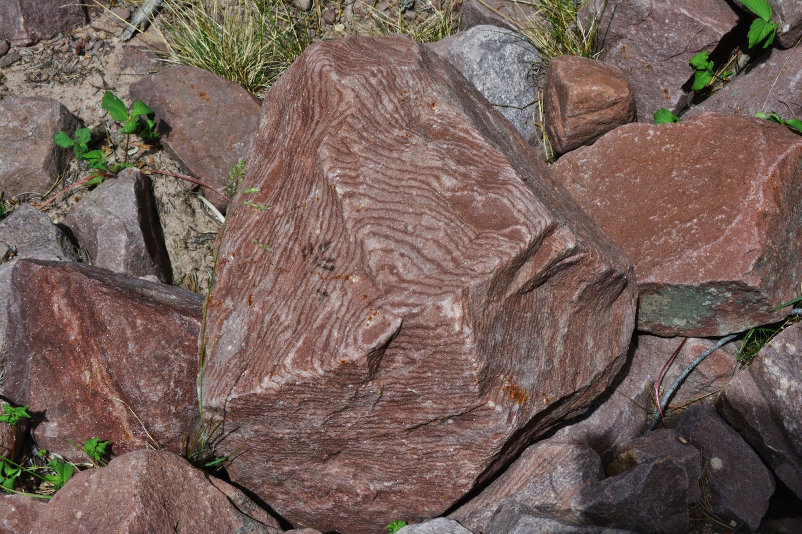
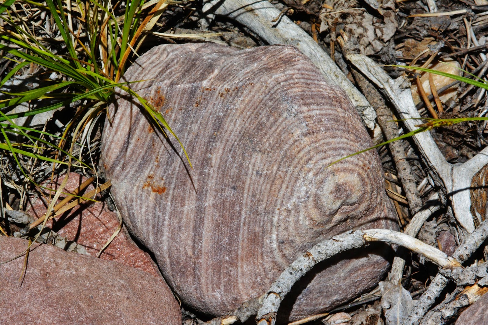
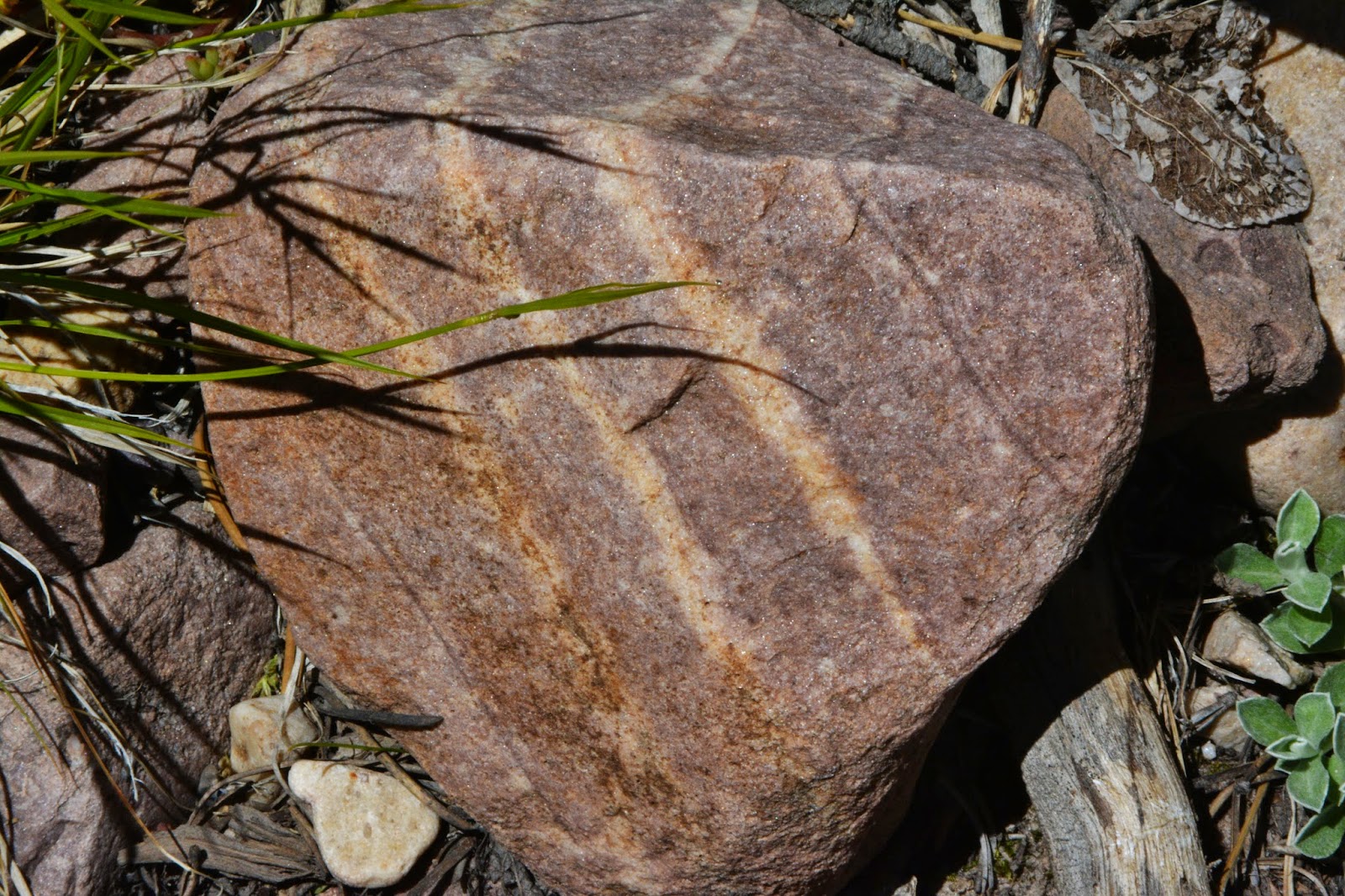
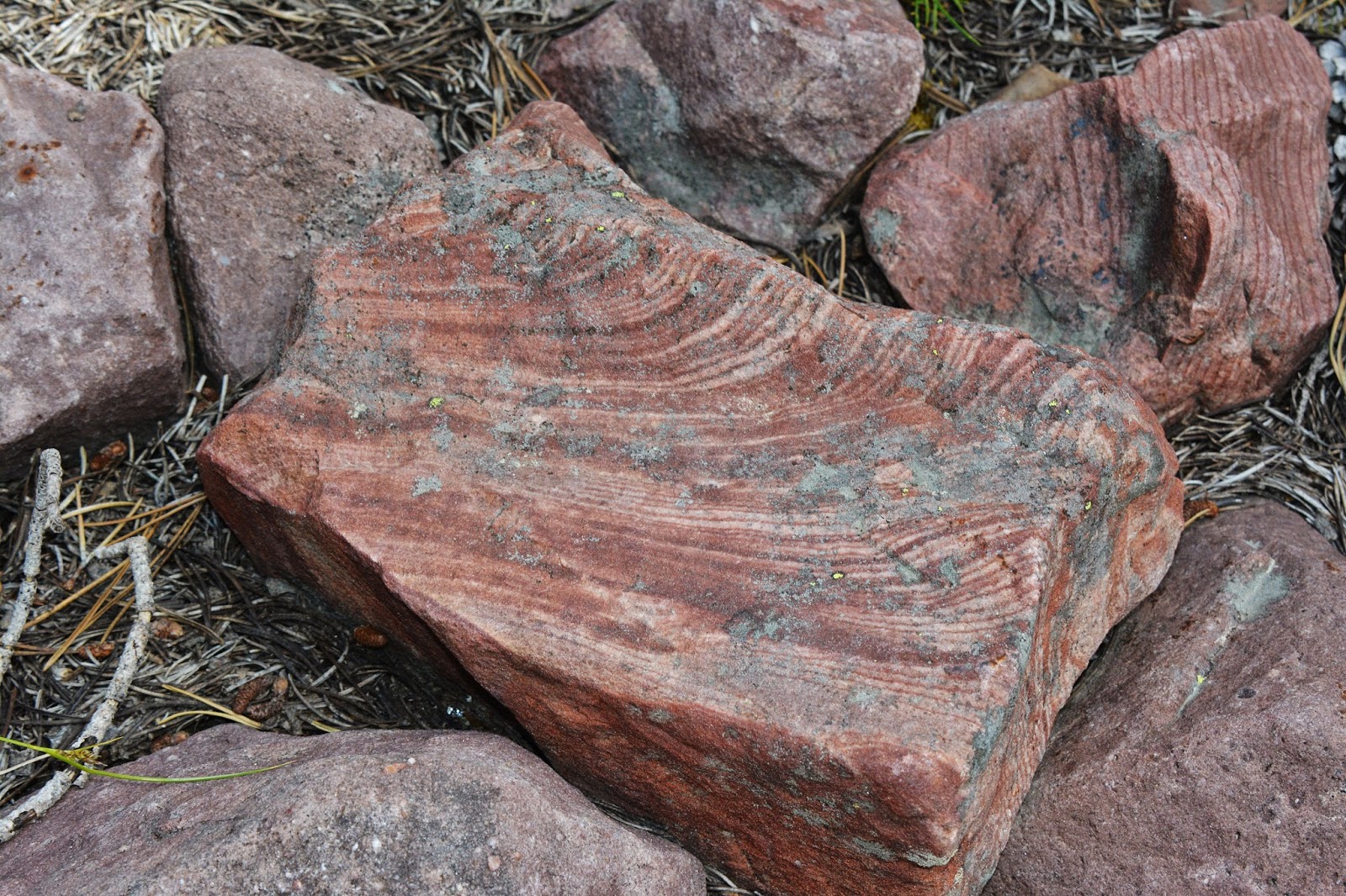
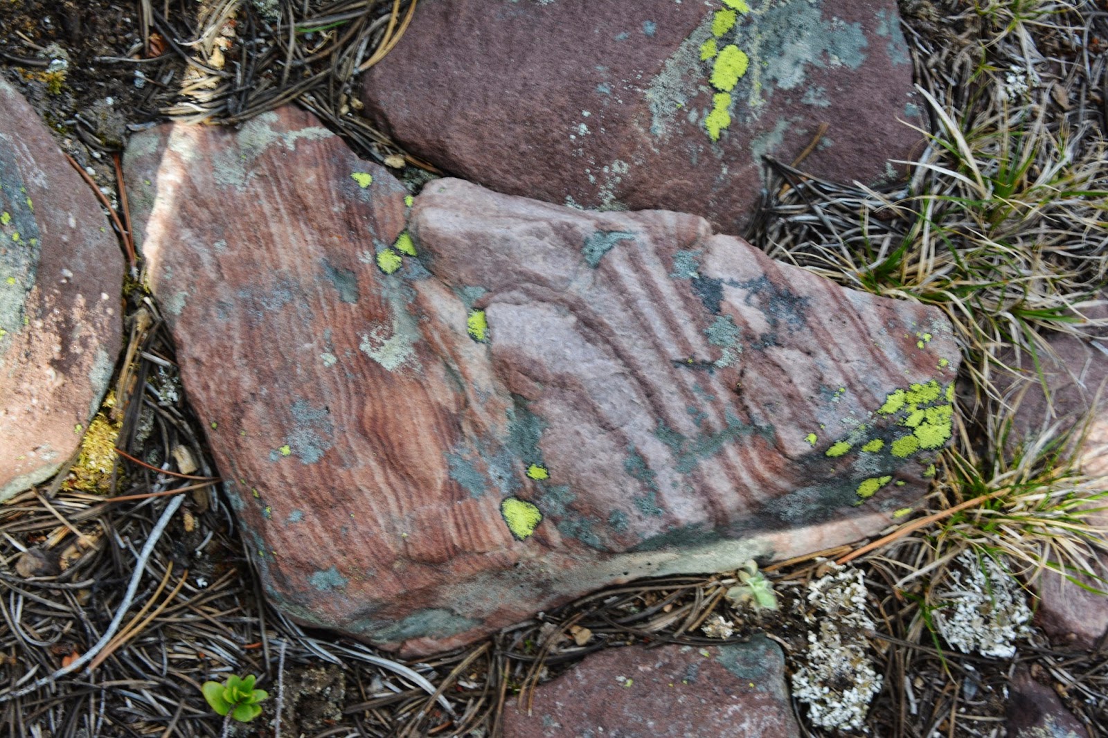
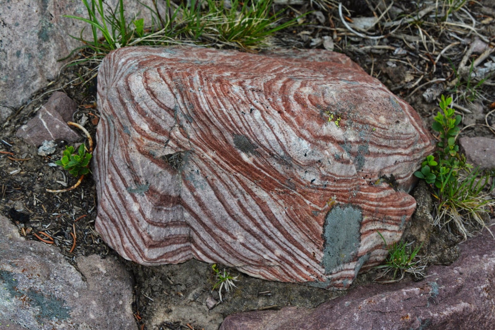
In one photograph we see widely differing rocks that represent vastly different evolutions of time and earth forming conditions. On the left widely spaced layers representing changing seasons. On the right another sedimentary rock with much closer layers. See them close below.
Sprouting everywhere is the ground cover that grows in many of the forested portions of the Uintas.
Then there’s the TRAIL!
WHAT A NIGHTMARE!
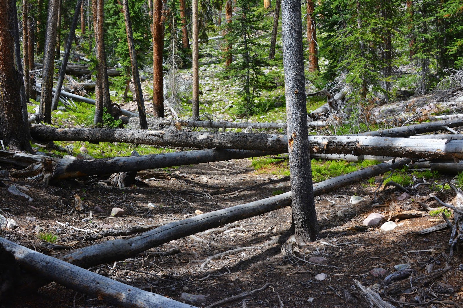
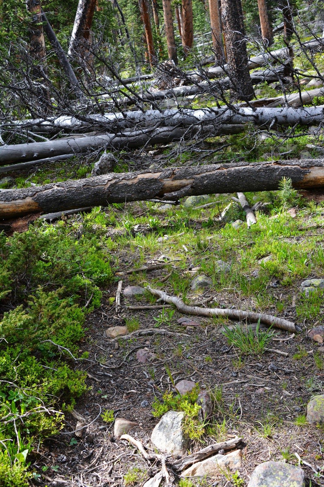
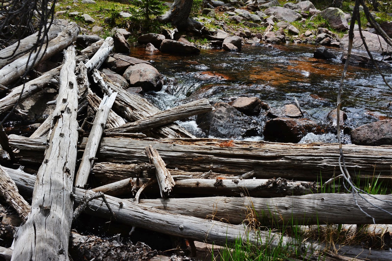
This trail I call a “short-cut to Atwine Lake” is on my old NGS High Uintas Wilderness Map, but it isn’t on the new one, and the forest service only maintains the trails on the new map….so there is no hope for this trail and it will disappear. In fact in many places it is disappearing….here into a tangle of downed timber. You have to go up to the right, or down to the left to get around it, and then hope to find the trail again….TIME, AFTER TIME, AFTER TIME, ETC.
Literally hundreds of times the trail is blocked, then lost. The couple of miles on the trail evolves into at least 5-6 miles that totally wore me out. This was probably my fourth time using the trail….and will be my LAST!
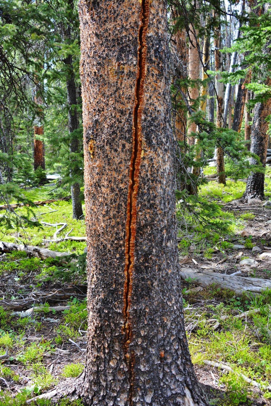
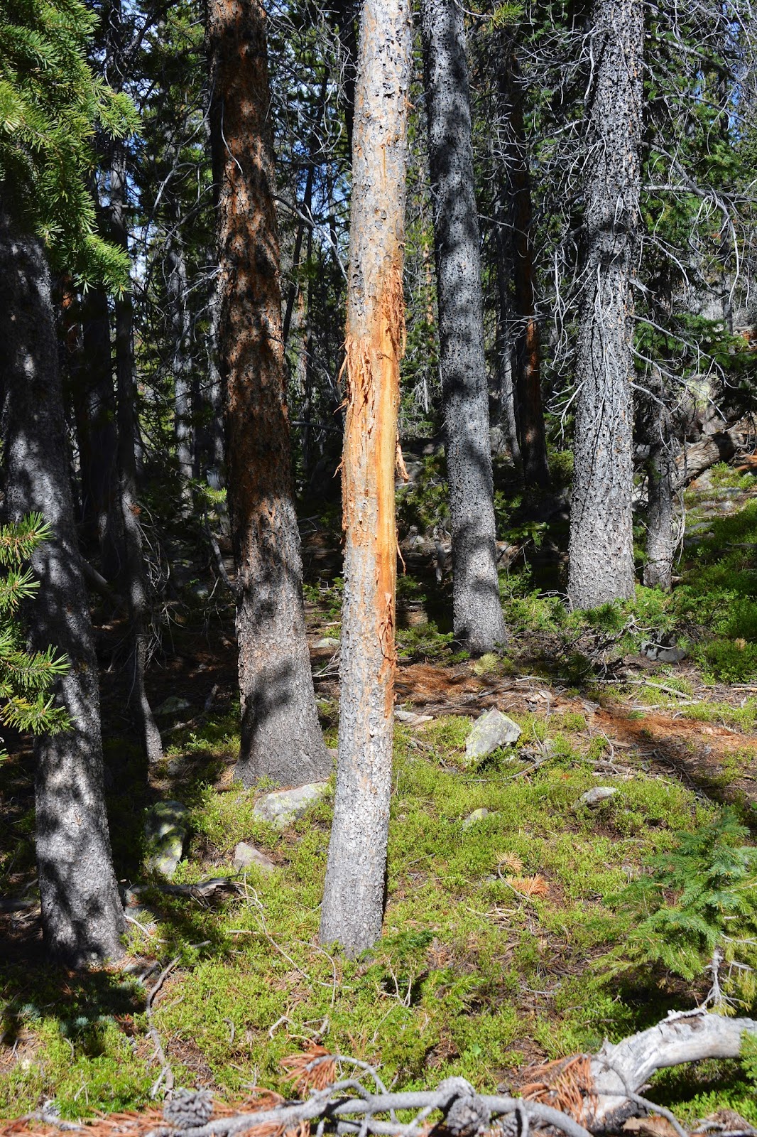
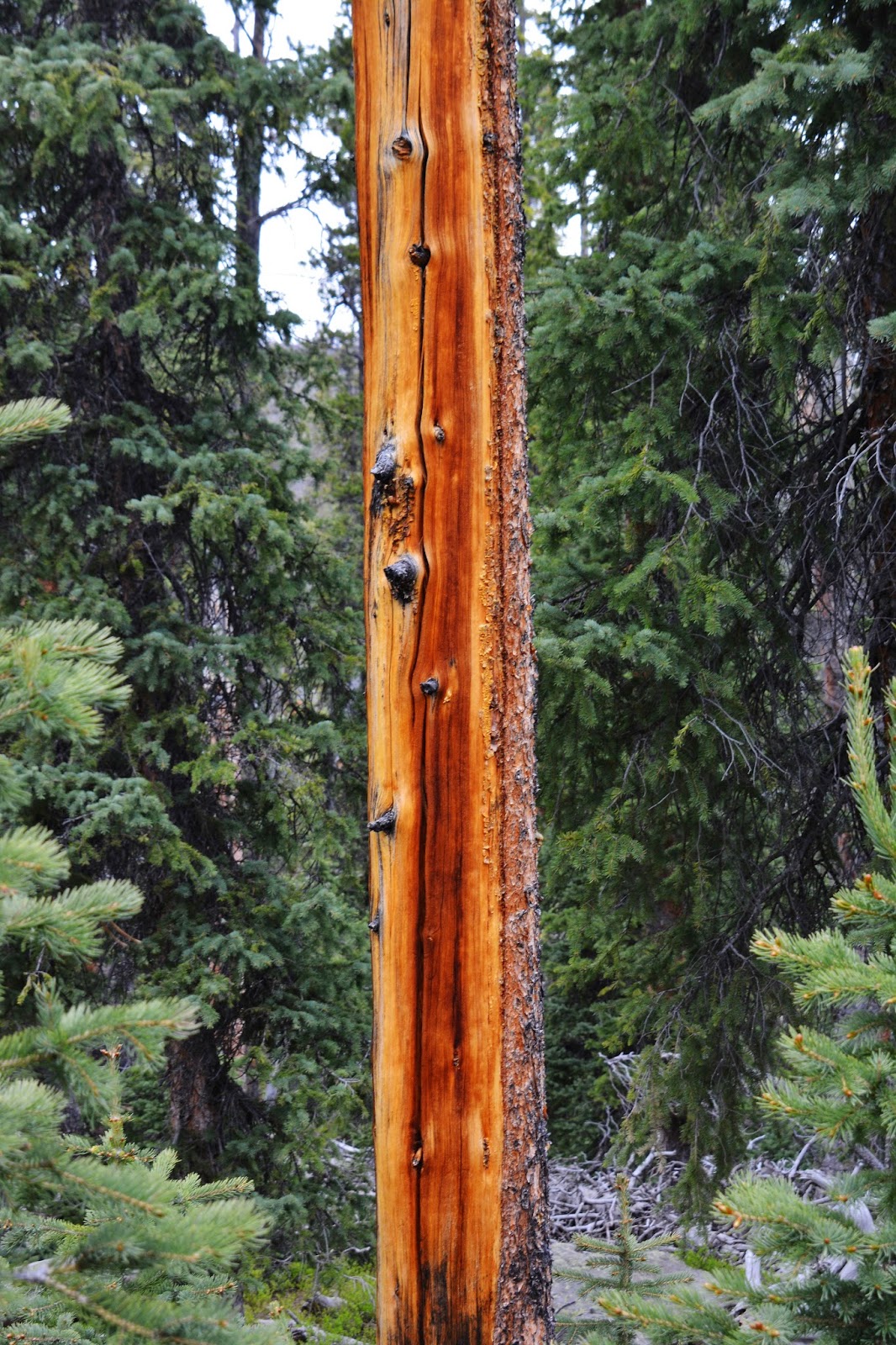
A tree killed by lightening.
Here we see a strange kind of lichen.
UP THE TRAIL! ??
Only abundant deer, and especially elk keep the trail open.
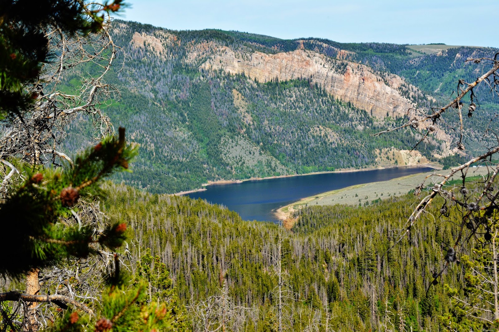
Finally made it to Atwine Lake. I was supposed to go on to Clements Lake, but I was totally worn out, so set up camp.
Atwine Lake is at about 10,150 feet . I was going to have a cold dinner that didn’t require cooking so set up my camp about 200 feet from the lake.
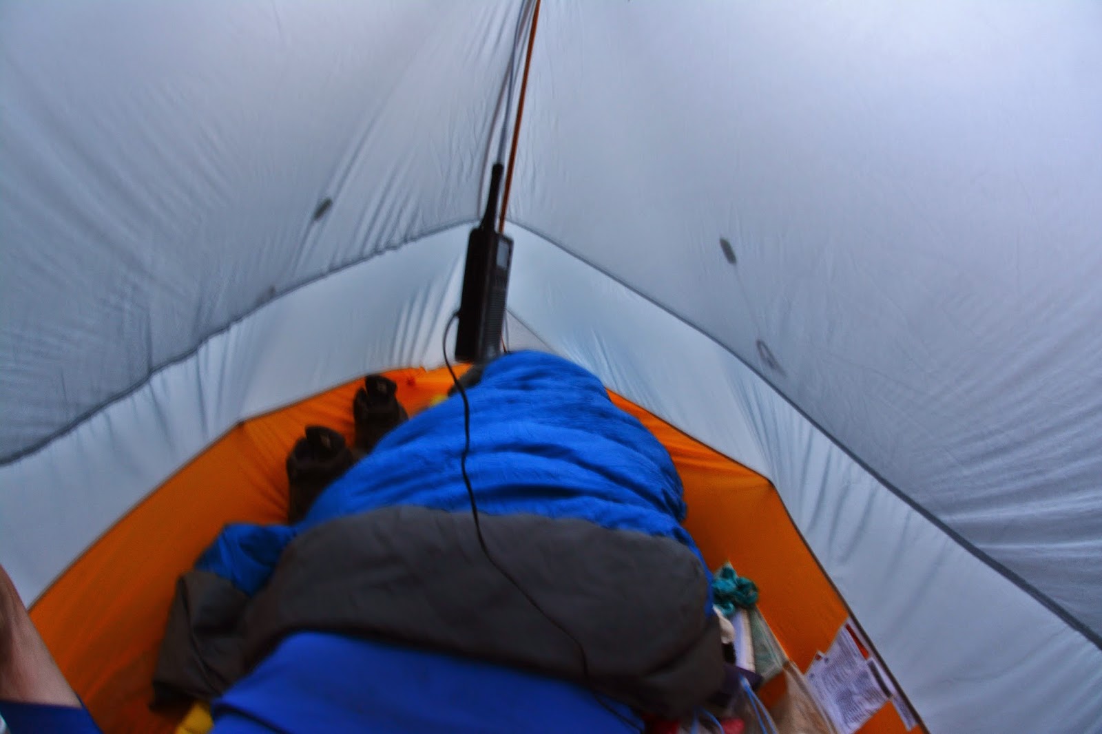
I was totally fatigued. My experience in recent years has shown me that to have two consecutive hard days had the potential of hurting me–especially in the early season before I got in shape. But, I set up my tent and prepared everything for the evening and night. Then, all of a sudden I was overwhelmed with a deeply congestive cough! My lungs were all of a sudden struggling. This reminded me of one of the other times when I began having High Altitude Sickness.
I hung my food in a tree, just in case.
Then rested for half an hour while taking the supplements I have found help me recover from a difficult day, and prevent getting sick.
I noticed nearby a tree that had been scraped, likely last year as it was too early for this season, most likely by a bull elk rubbing the velvet off his antlers.
After about half an hour I was feeling a bit better except for the deep cough, but I had to go for water, so took along my fishing gear to at least catch a fish or two.
Sure enough the lake seemed to only have brook trout, several caught and released.
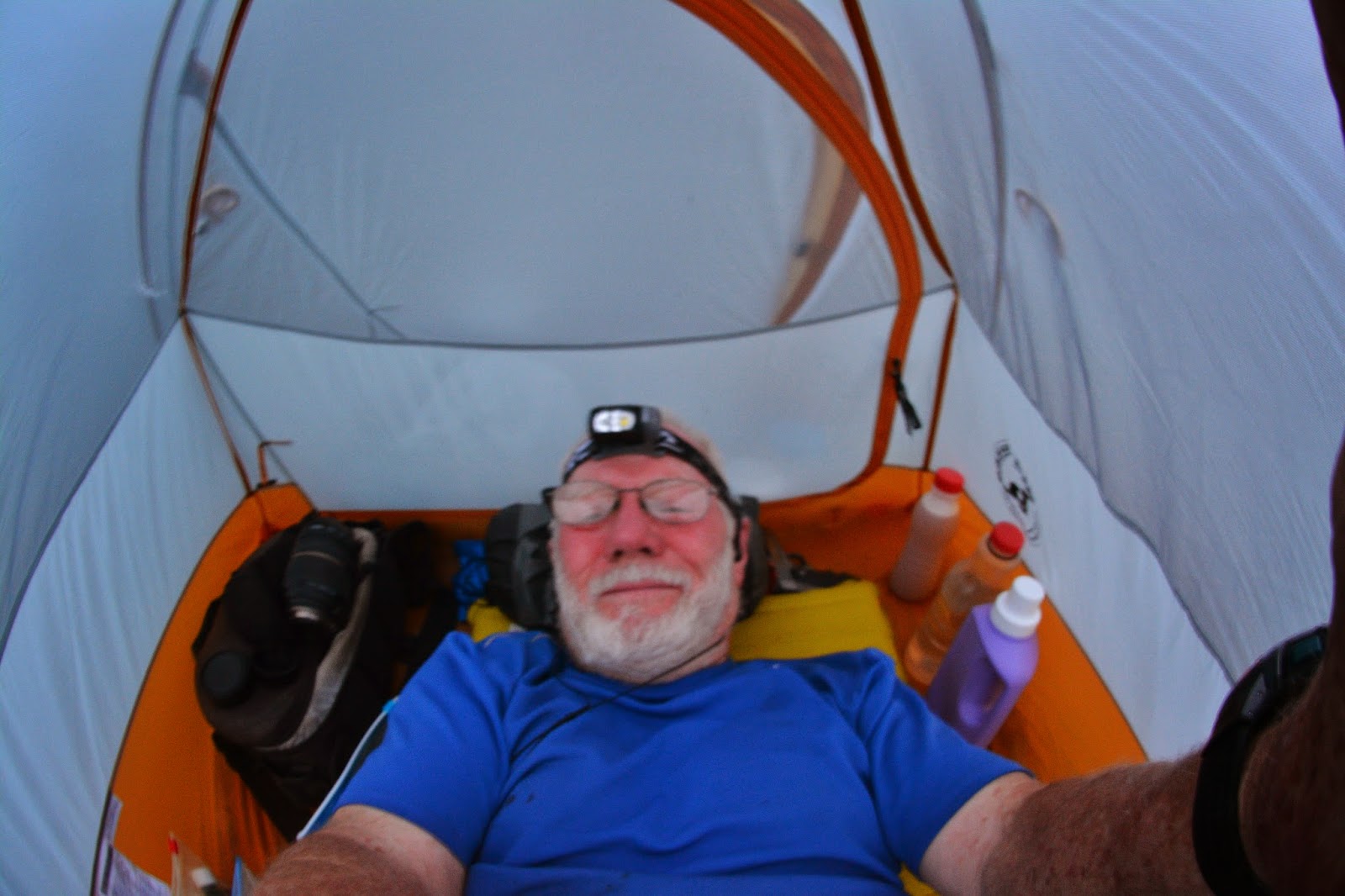
For dinner I had chocolate egg nog, and cold mashed potatoes with bacon bits, plus vanilla pudding. I took the supplements necessary when one feels “imbalances in your well being.” Then my last couple of Acetazolamid, for high altitude sickness, and the regular things I take every night. I had slept pretty good my first night, and did my second, too. I was very grateful that even though the day was hard with a complication or two, I had done it, recovered and slept well.
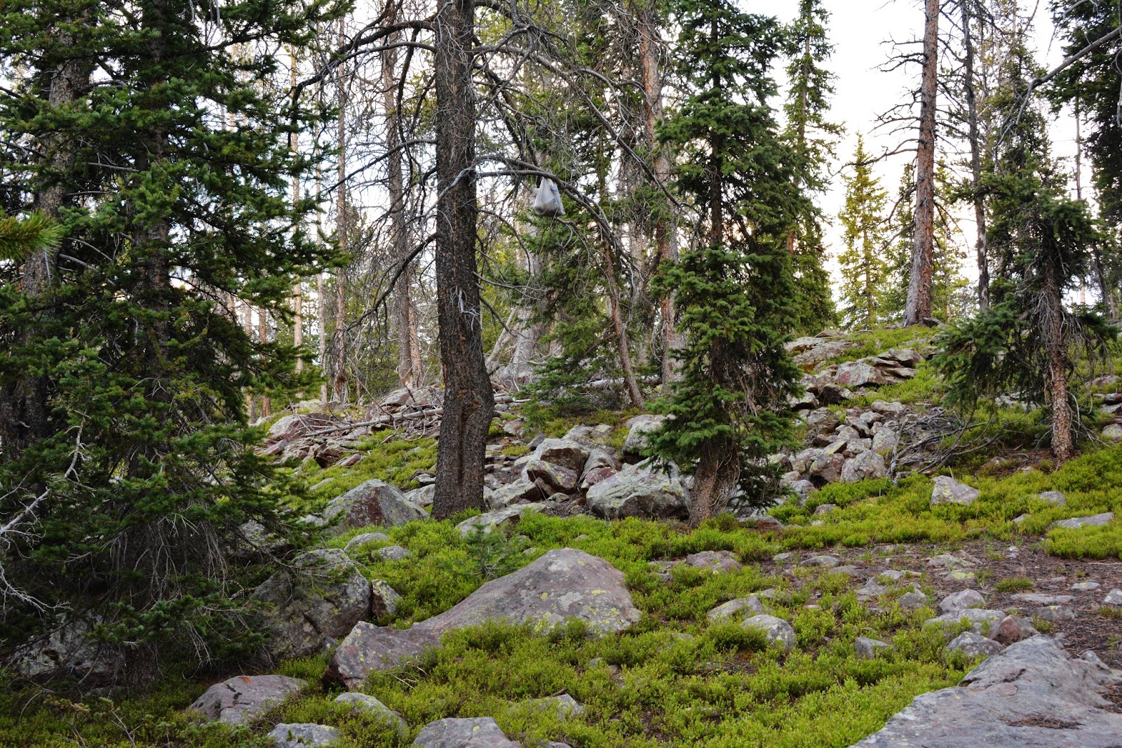
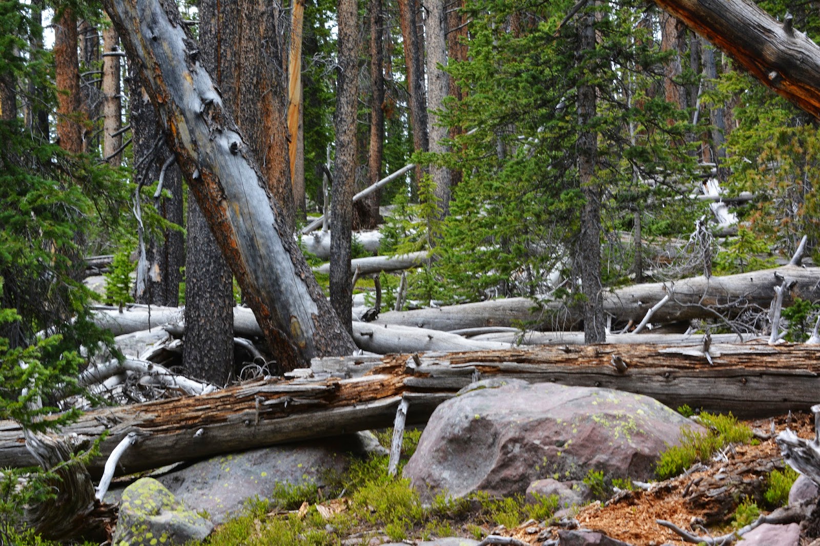
But with signs of High Altitude Sickness, the only effective cure is to “GO DOWN” to lower elevations. So I decided it not wise to follow my schedule which had me going higher to Clements Lake higher at 10,444 ft. and from there go off-trail to explore higher lakes, but all below 11,000 ft. timberline, meaning the hikes would all be in coniferous forests like we see below.
Much of the exploring planned would be winding my way through downed timber that had become very hard for me, and I just wasn’t willing to tackle that.
I’m well known for constantly bringing up Winston Churchill’s call during World War II, but as explained in my Coalville Speech I’ve had to fudge just a bit and add a word as seen below.
It’s been a 1,625 mile effort to not “GIVE IN…..EASILY!” but it seemed to me that the wisest route right now was to cut back a bit, dedicate more time to research, and get to writing….while daily exercising, and frequently doing short trips with my buddy Ted and family and friends. All of that was going through my mind as I got comfortably through the night at Atwine Lake.
Yes I would have to “eat crow” some, and find a nice way to avoid everyone thinking that I was completely just “SO MUCH HOT AIR!”
Then it came to me: HAPPINESS & SUCCESS as we grow older and unable to perform as before, requires us simply to LOWER OUR EXPECTATIONS! So, no matter what happens from here on, I’m going to be a lot more realistic and INCREDIBLY HAPPY & SUCCESSFUL!
But, before any hard and fast conclusions, I still had to get down the 12-13 miles of trail to my car and comfortable little Cabin trailer. So off I went headed for Brown Duck Lake.
Another of the first mushrooms of the season….which I wasn’t about to eat!

I passed by no-name X-45 lake which was too shallow for fish.
This is what I would have been fighting through to explore all the off-trail lakes I had wanted to visit.
You won’t recognize it, but this is my bridge across Brown Duck Creek just after it leaves the lake.
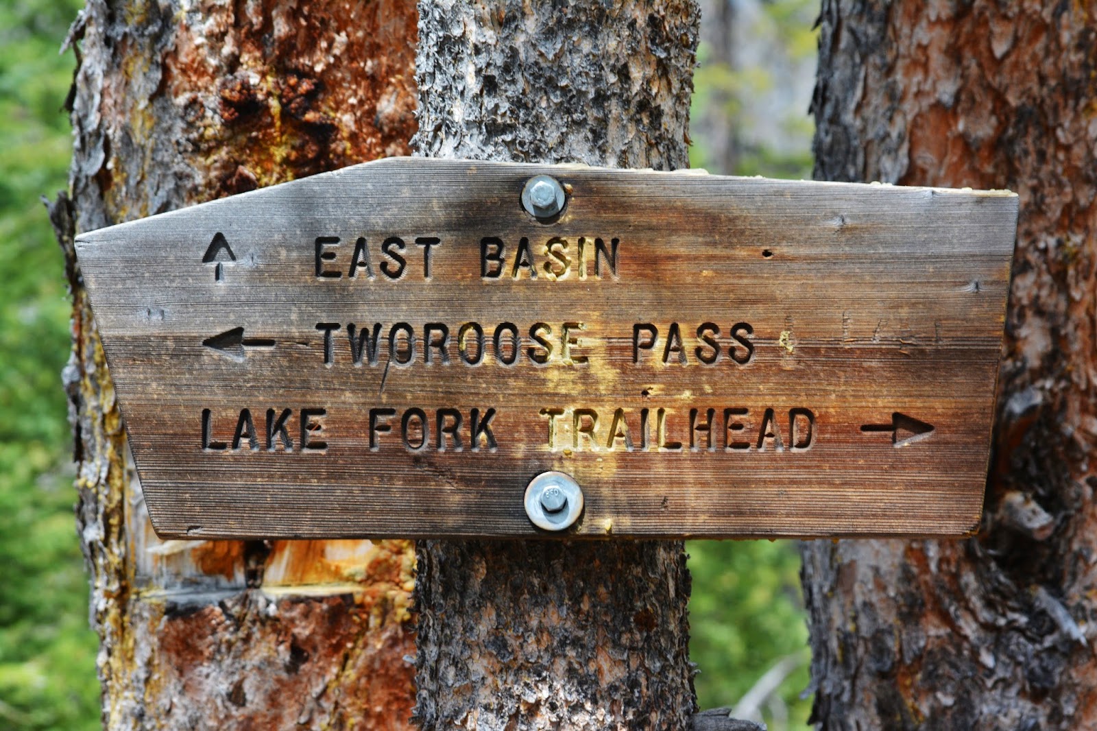
Just up the trail from the crossing I hit the main trail with this sign, and had a rest before going over to Brown Duck Lake to test the fishing.
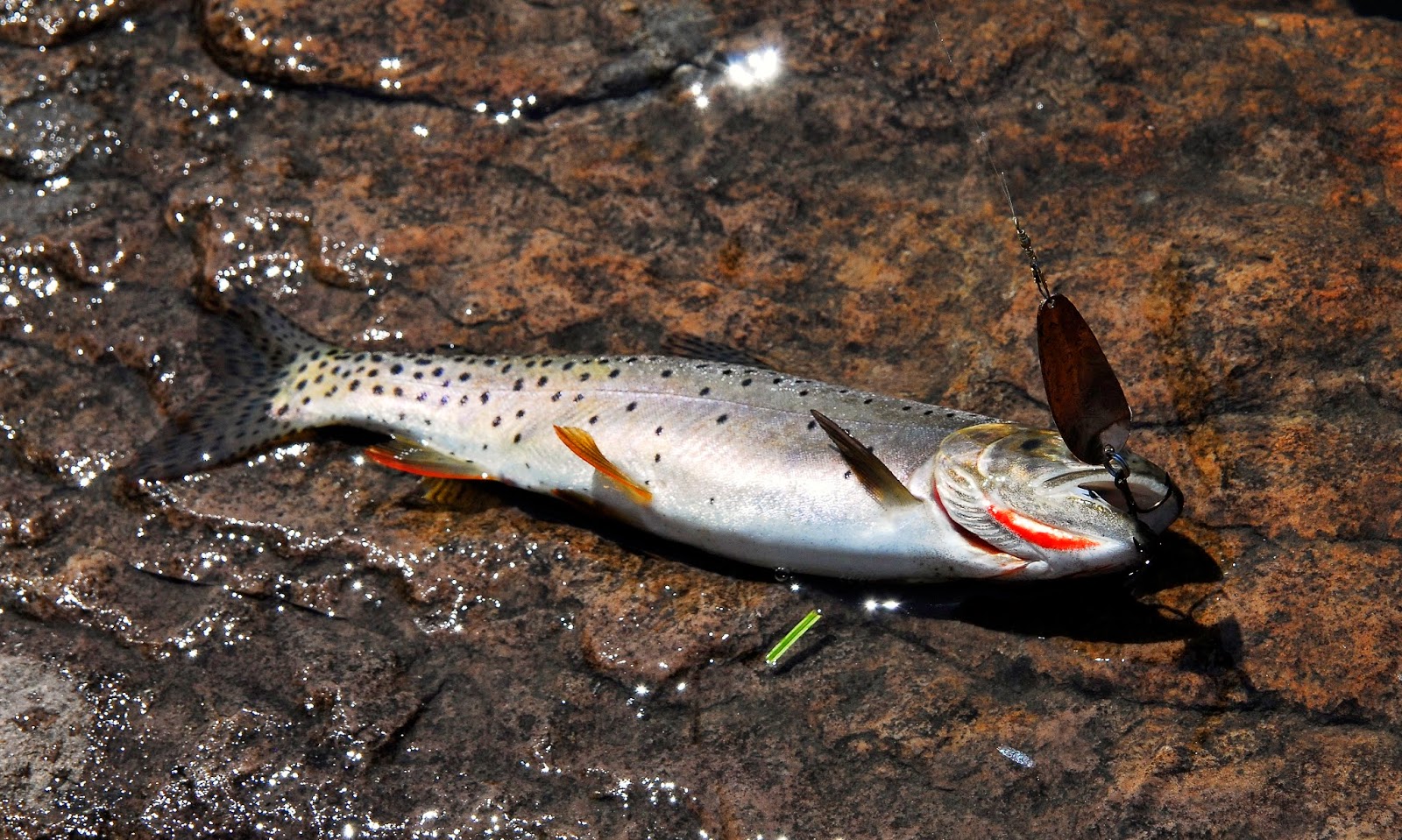
Brown Duck Lake is at 10,186 ft. so about the same as Atwine Lake. From here on the trend will be down.
A few casts quickly produced several regular sized Native Cutthroat trout which of course were released.
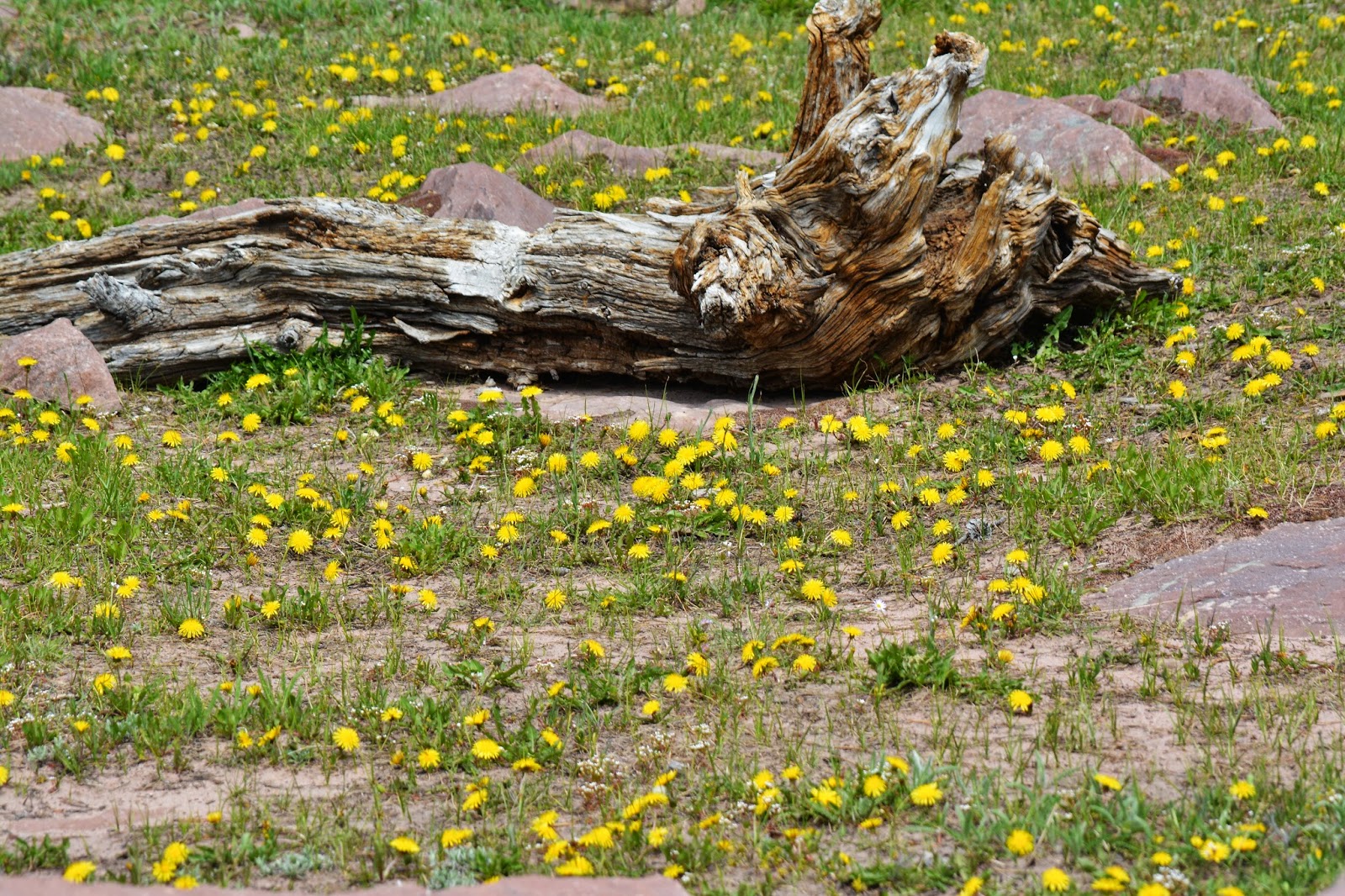
Lots of dandelions with which I could have enhanced my soup and Rice’A Roni….cooked in my campfire 1/4 of a mile from the lake.
In its shadow you see a plant with tiny little white flowers.
Now, DOWN THE TRAIL!
Admiring the “TEXTURES OF NATURE”
Oh, and Wild Strawberry blossoming all along the trail.
I passed the “short-cut” and kept trudging along soon passing the Wilderness boundary and nearby set up my camp for the night. The next morning I was on my way, seeing some “Visions of Nature” that had gone unnoticed on the way up.
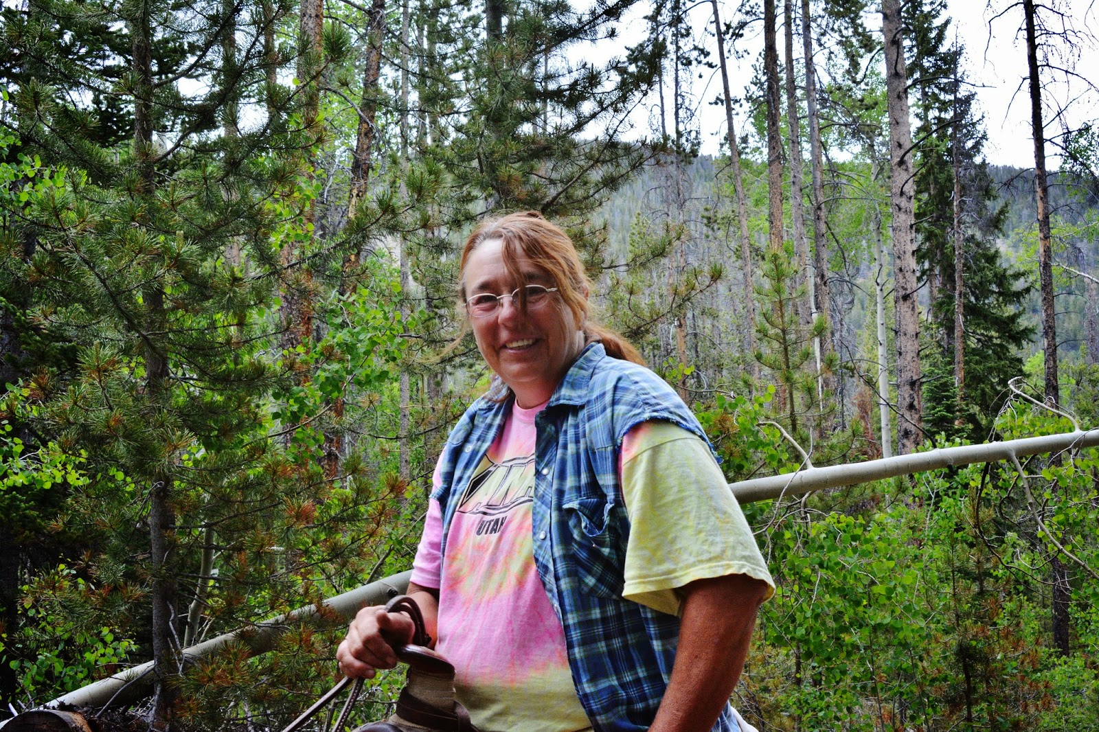
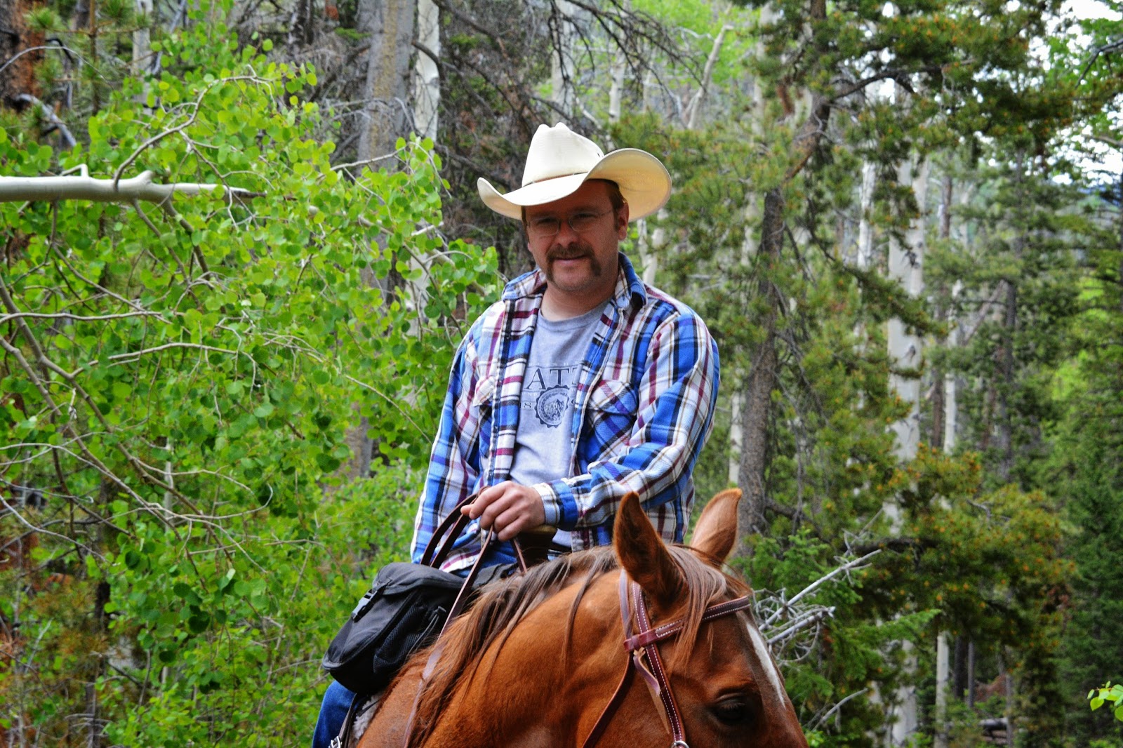
Then all of a sudden more new High Uinta Friends out for a Sunday ride.
First a friendly resident of Altonah, CINDY WARR who has already emailed me and received pictures of them, and said, “I checked out your website last night. It’s cool, I would love to sit by the camp fire and hear some of your story’s, sometime.”
And friend, PETER from Kamas.
Now in the lodge poles I’m getting close.
“You’re getting close!”
was the shout from Bryan and Marsha Broadhead from Roosevelt. I must have looked bushed and they thought I needed some encouragement.
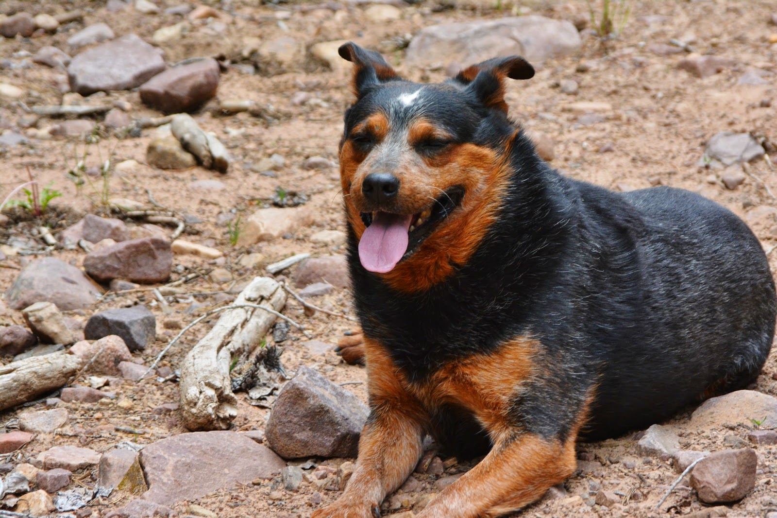
……and their dog. Sorry I forgot to get the name…as I was deliriously “bushed!”
WOW….SALVATION IN SIGHT!
No campfire, but I did have propane and had a great early dinner after getting to Duchesne and cell phone and internet reception at the Public Library parking lot where I listened to ESPN radio and the USA vs PORTUGAL game that was ALMOST INCREDIBLE! …..well, it was for Portugal, as in soccer even a 2-2 tie is wonderful!
By then I learned that my wonderful daughter, Mahana, during my backpack had given birth a month early in Provo to handsome little Ryan Andersen Craig and I had to get home quick…but.to be safe for an old guy, getting a good night’s sleep first.
I believe the count is now: 15 children, 38 grandchildren (with 2 more to go for this year), and 10 great-grandchildren.
Today, Tuesday, June 24, 2014 I finally got this report finished and will now post it on my website. Tomorrow I go to Provo to do a bit of baby sitting, and climb up to the Y or something to not lose what conditioning I acquired on Trip #1, then a few other family chores, and hopefully a short trip into the Uintas for the weekend.
Keep an eye on my website and I will finally let all know WHAT NEXT?
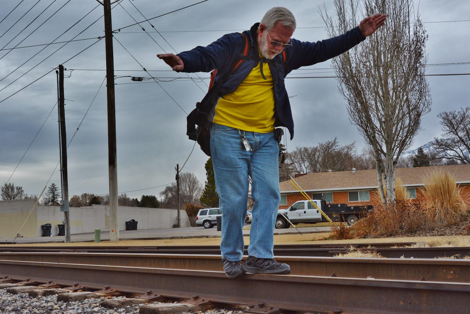
Will it be the Forest Gump move?
Whatever, I still have a lot of living to do, with important initiatives in sharing with all my High Uinta Friends tiny gems that might just make your outdoor experience more exciting, inspiring….and safe.


.JPG)


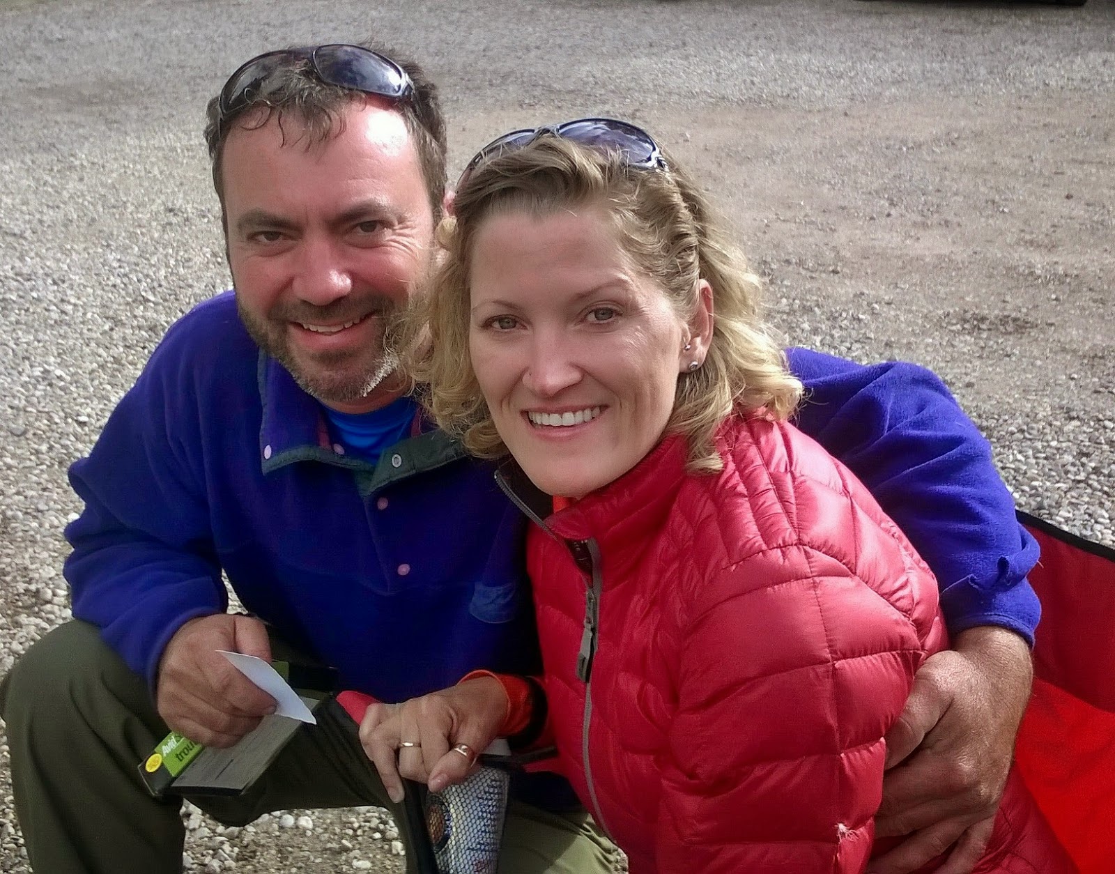CORDELL+and+CANDY+WOLKING.jpg)
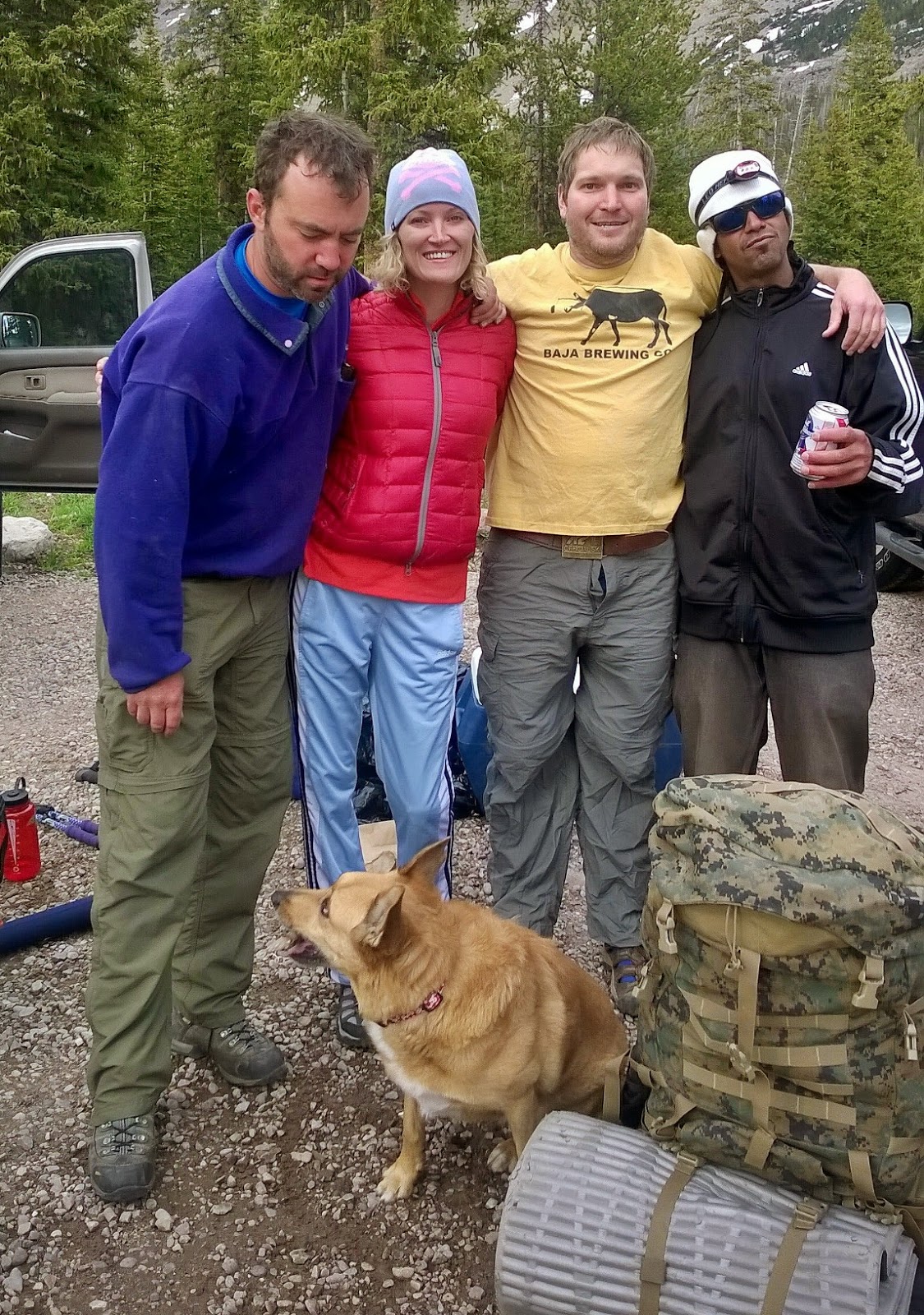CORDELL+and+CANDY+WOLKING+-Brandson+Farley+-Nate+Gardner.jpg)
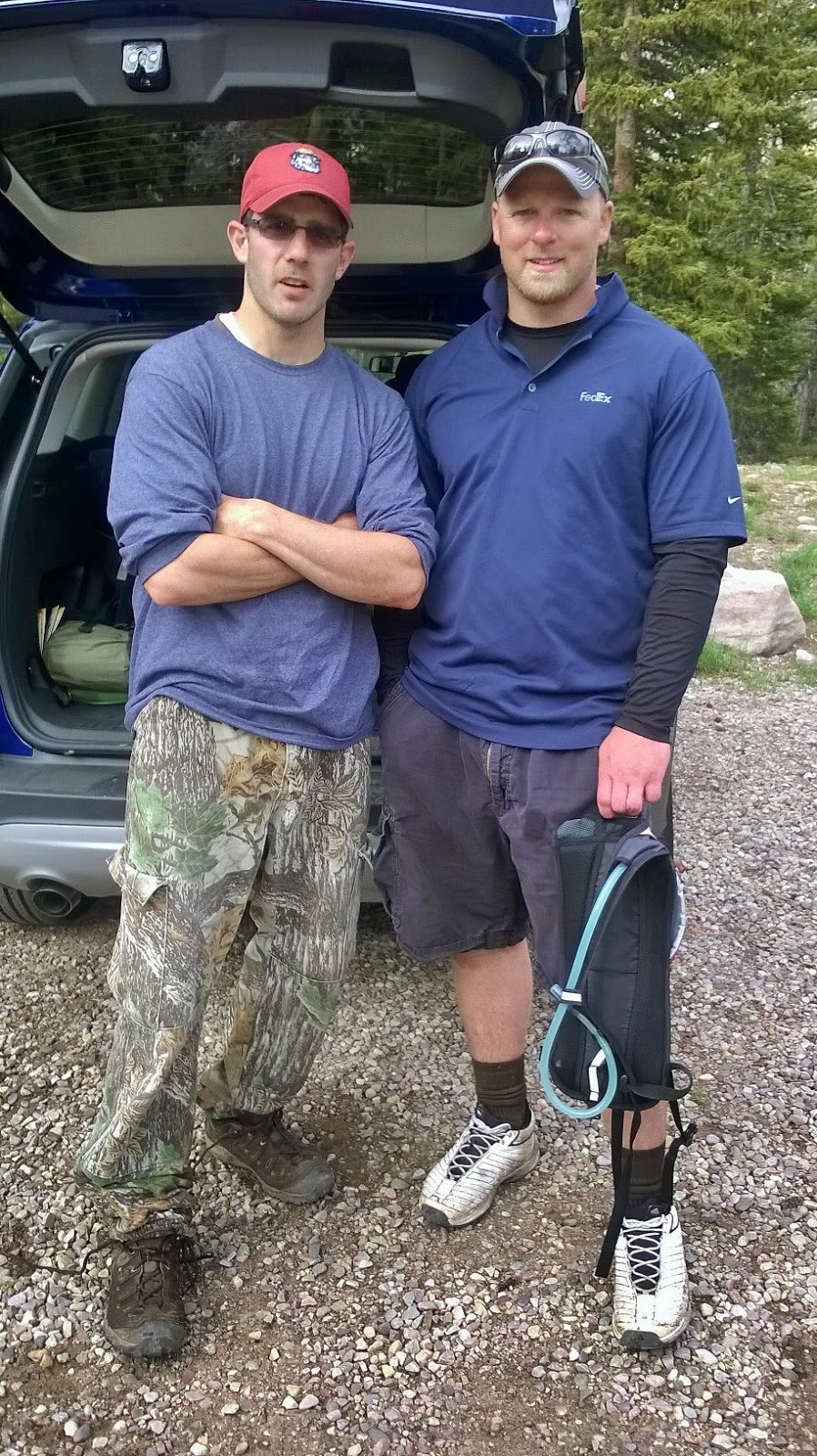+JASON+HOWES-DANNY+DRAKE.jpg)


.JPG)
.JPG)
.JPG)
a.JPG)
.JPG)
.JPG)
.JPG)


.jpg)


